Day 6 The third day of hiking
Published: 04.06.2017
Subscribe to Newsletter
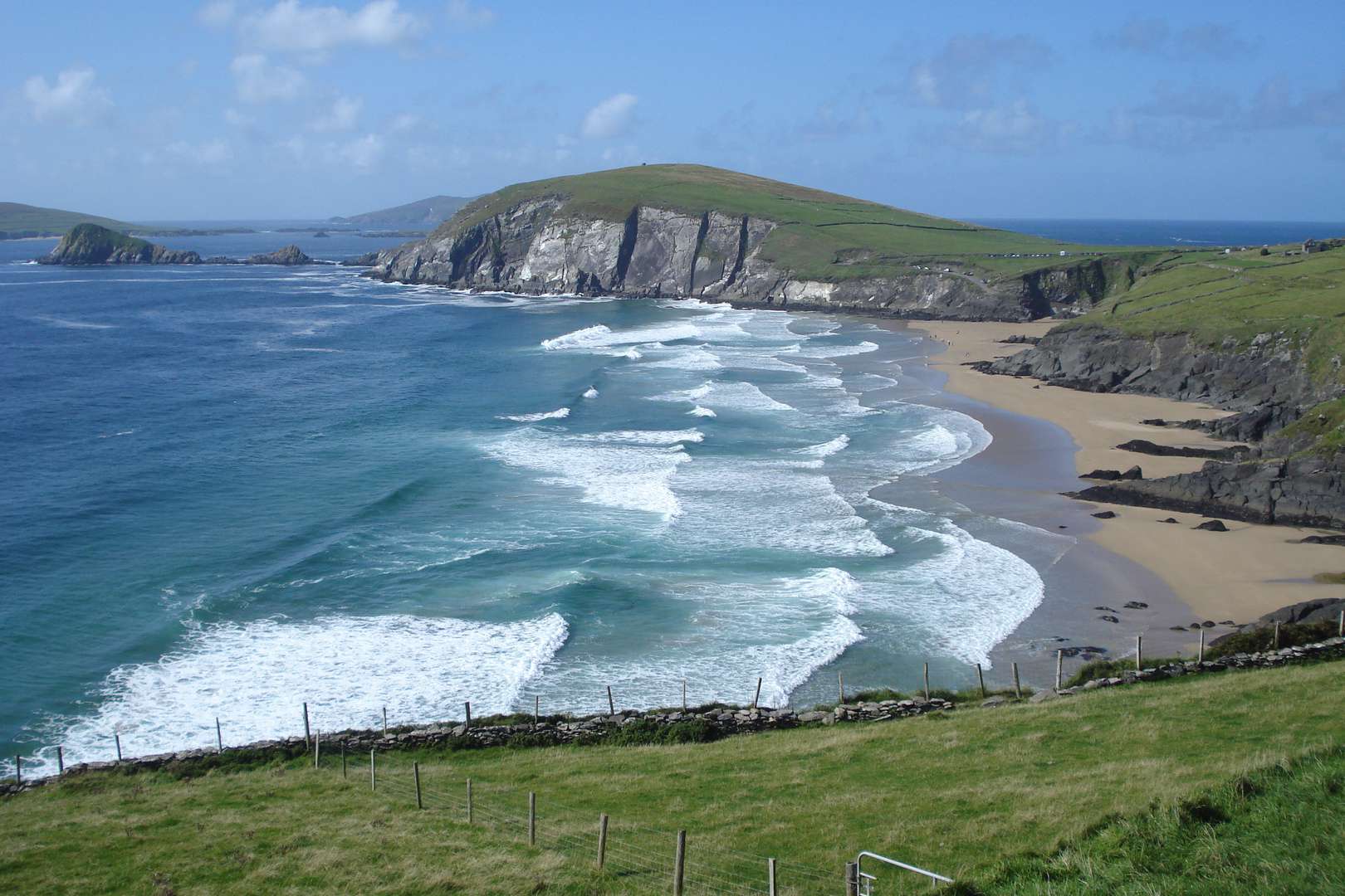
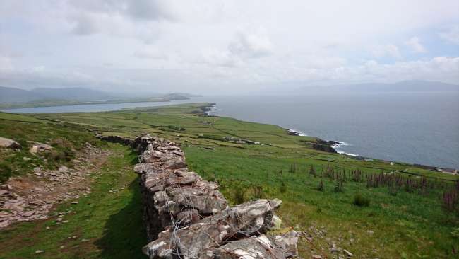
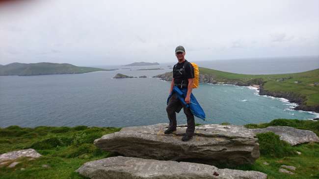
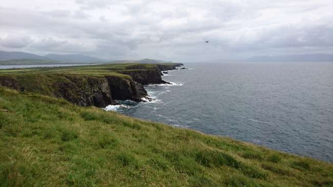
Today we continued on to Dunquin, at the tip of the peninsula and therefore the westernmost point of Ireland. At the beginning, in light rain, the route ran along some quiet country roads to Ventry. The rain soon stopped and I walked the approximately 1.5-kilometer-long beach in the sunshine. According to an Irish legend, there was once a mighty battle here. But there was nothing left to see. I saw a few teenagers waving clubs a little way off. I thought they were reenacting the battle. When I got closer, I saw that they were playing hurling, an Irish national sport. After leaving the beach, I continued on footpaths until I reached the mountains and the cliffs. Everyone has certain images of a country in their mind. One of the images I have of Ireland is exactly this kind of cliff where I now stood. It was a great sight and a dream come true for me. Then came the most challenging part of today's stage. It was about 8 kilometers further on mountain paths. There was some climbing involved. But I enjoyed it and the view over the Atlantic coast was amazing. At the end of the mountain tour, I arrived at the outermost point of the Dingle Peninsula, where you can look directly out onto the Blasket Islands, an offshore island group. From there, I continued on a country road for about 2 kilometers to my B & B for today. In total, it was about 22 kilometers today. Tomorrow, I will continue on to Ballydavid, my fourth day of hiking and unfortunately also the last day on the Dingle Way.
Subscribe to Newsletter
Answer
