
Sizilien
vakantio.de/sizilien
Sicily - Easter 2017
Published: 27.04.2017
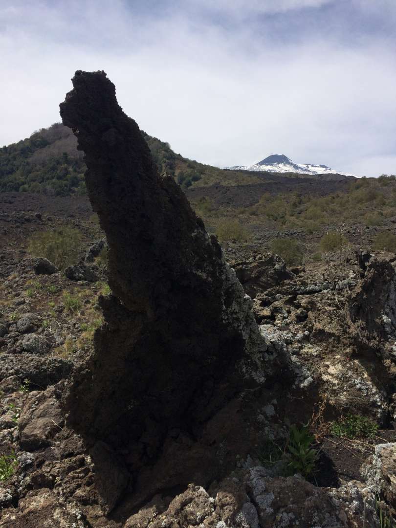
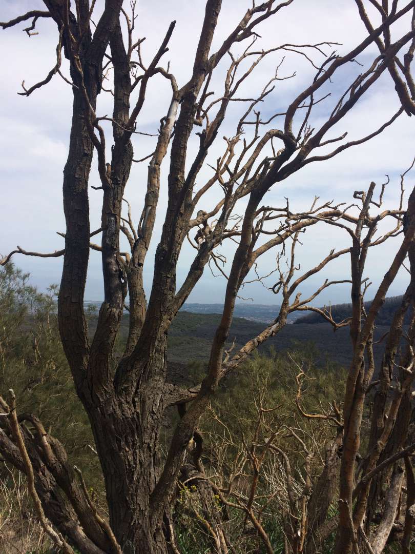
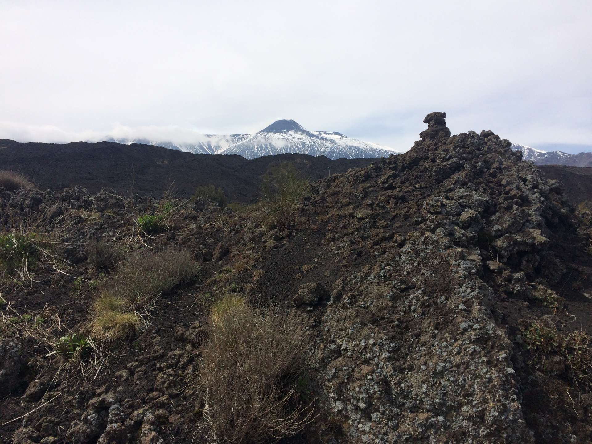
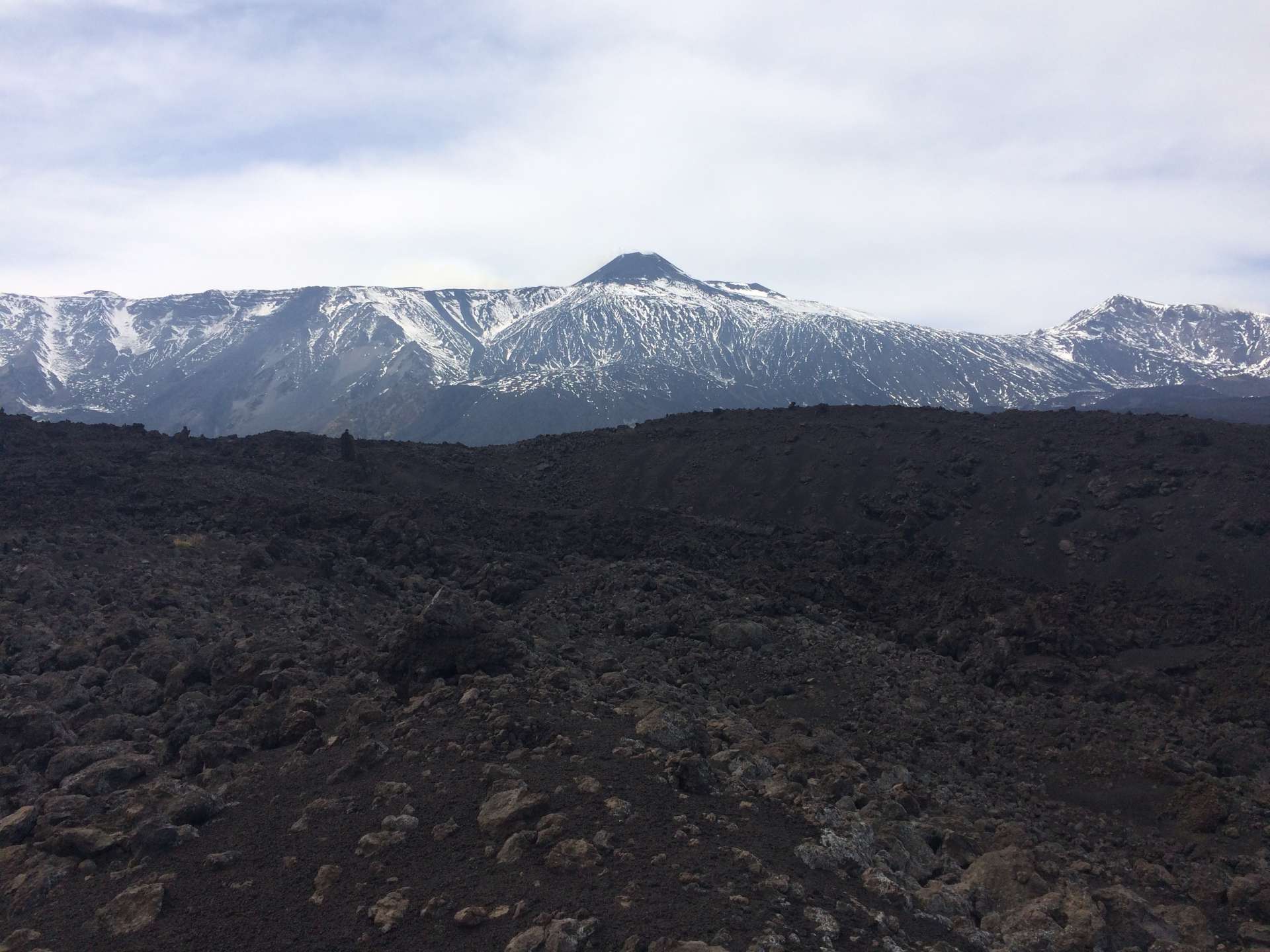
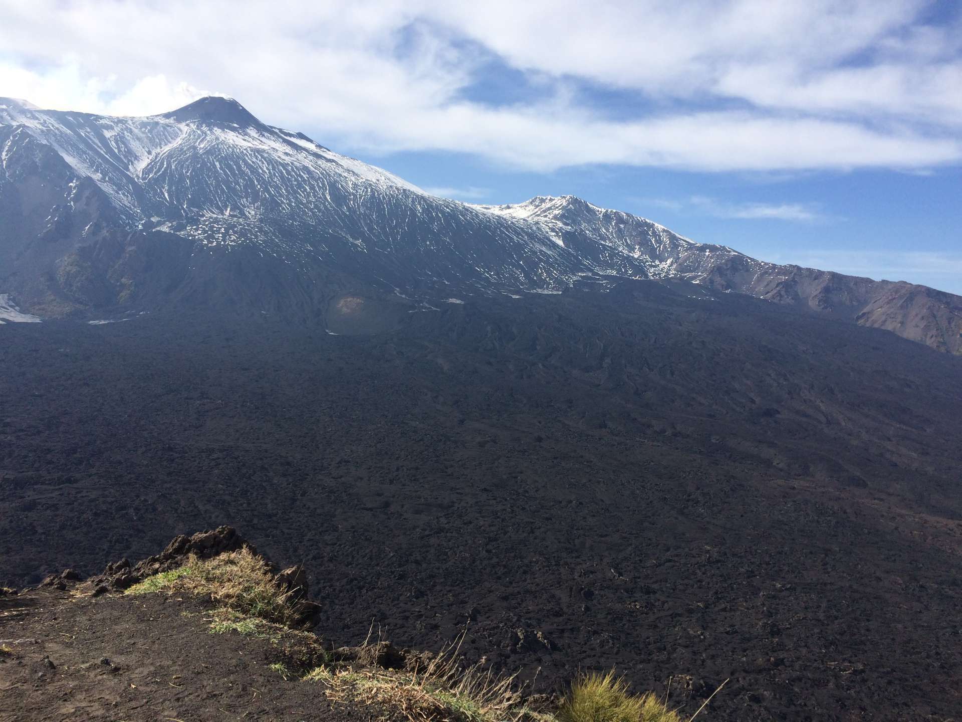
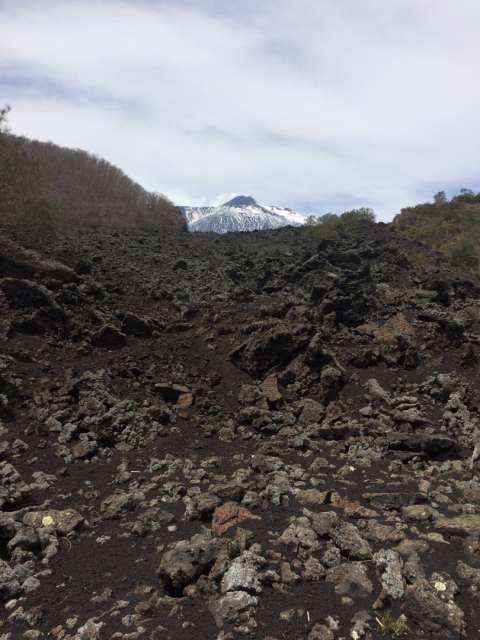
Hiking from Zafferana Etnea to the south side of Mount Etna.
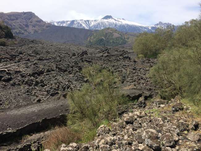
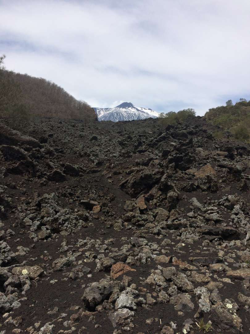
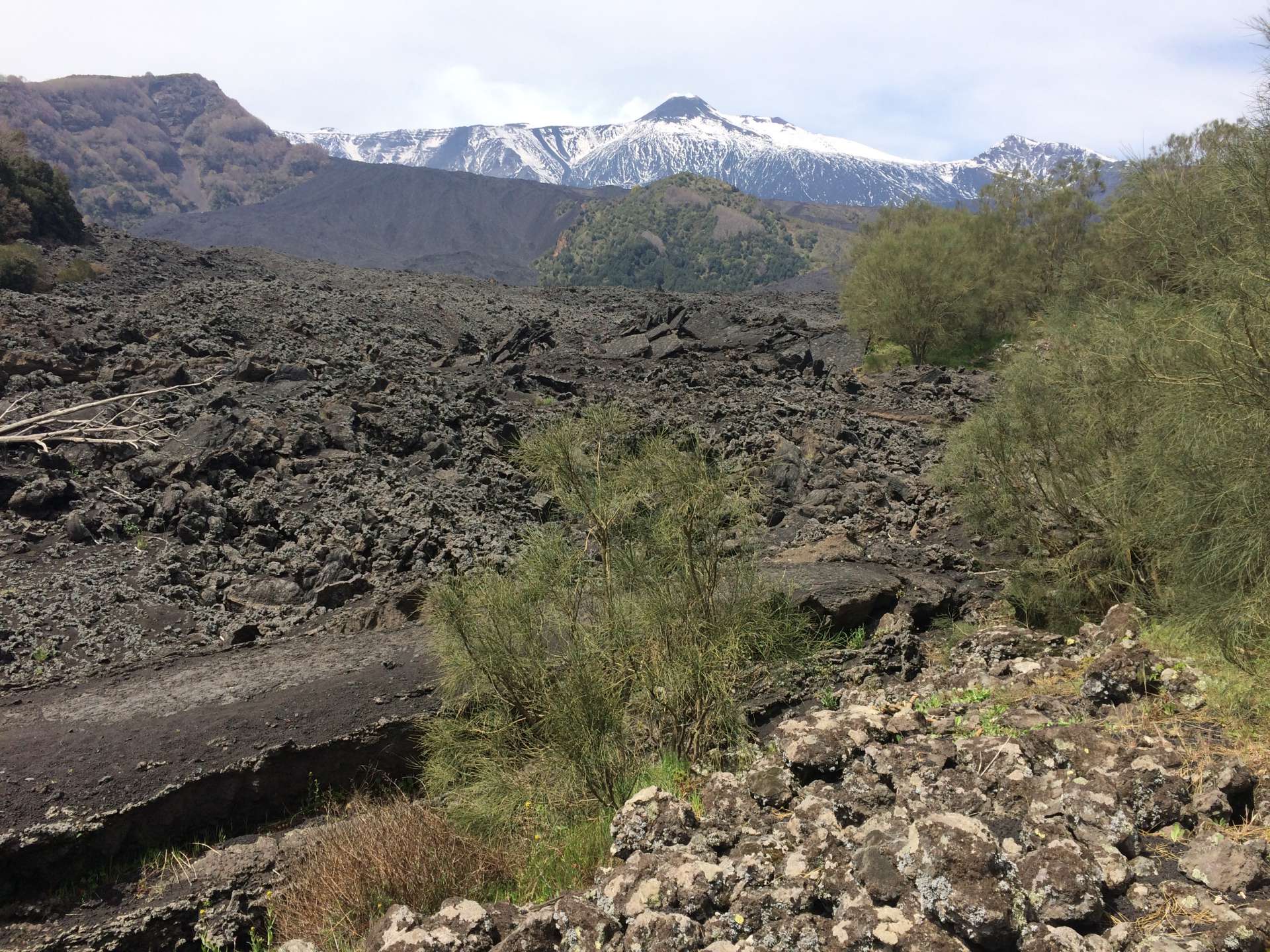
There is a circular hiking trail that leads over the lava flows that were extremely threatening to the municipality of Zafferana during the eruption of Mount Etna in 1992. The trail markers made of stone piles are gradually disappearing, so it is difficult to find the way over the sharp and slippery rocks...
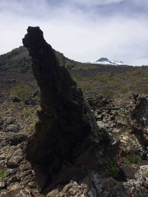
Starting late in the afternoon, the trail is long and it is not clear where it leads through the lava field into the foothills of Mount Etna. It should not be extended into the evening, as I am without a flashlight and the iPad's battery is limited.
But using the Outdooractive map on my iPad with GPS, I always know exactly where I am, so I am reassured after fighting my way up a steep slope with snow fields, maquis (and without a trail) to the small sub-summit (Monte Zoccolaro 1739 m) and finding a reliable path...
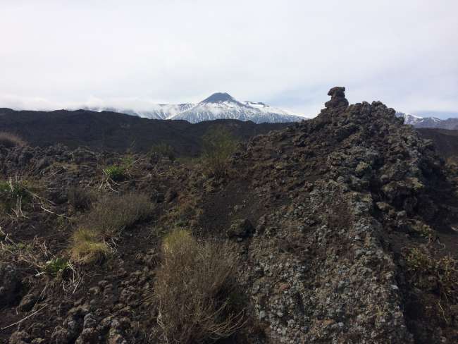
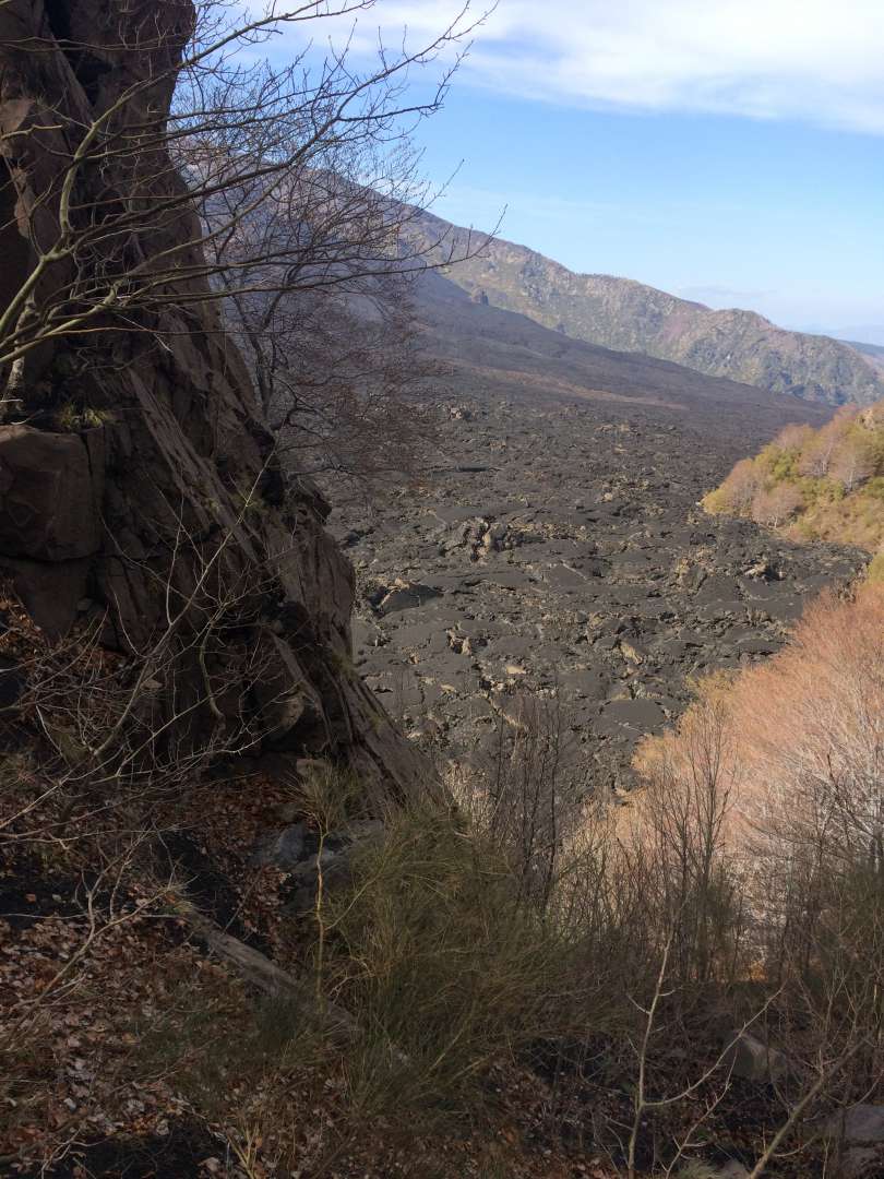
View back to Zafferana Etnea
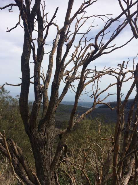
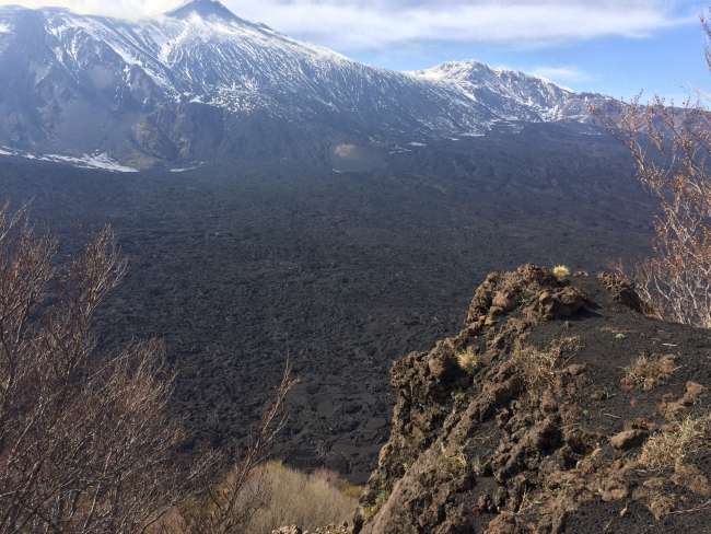
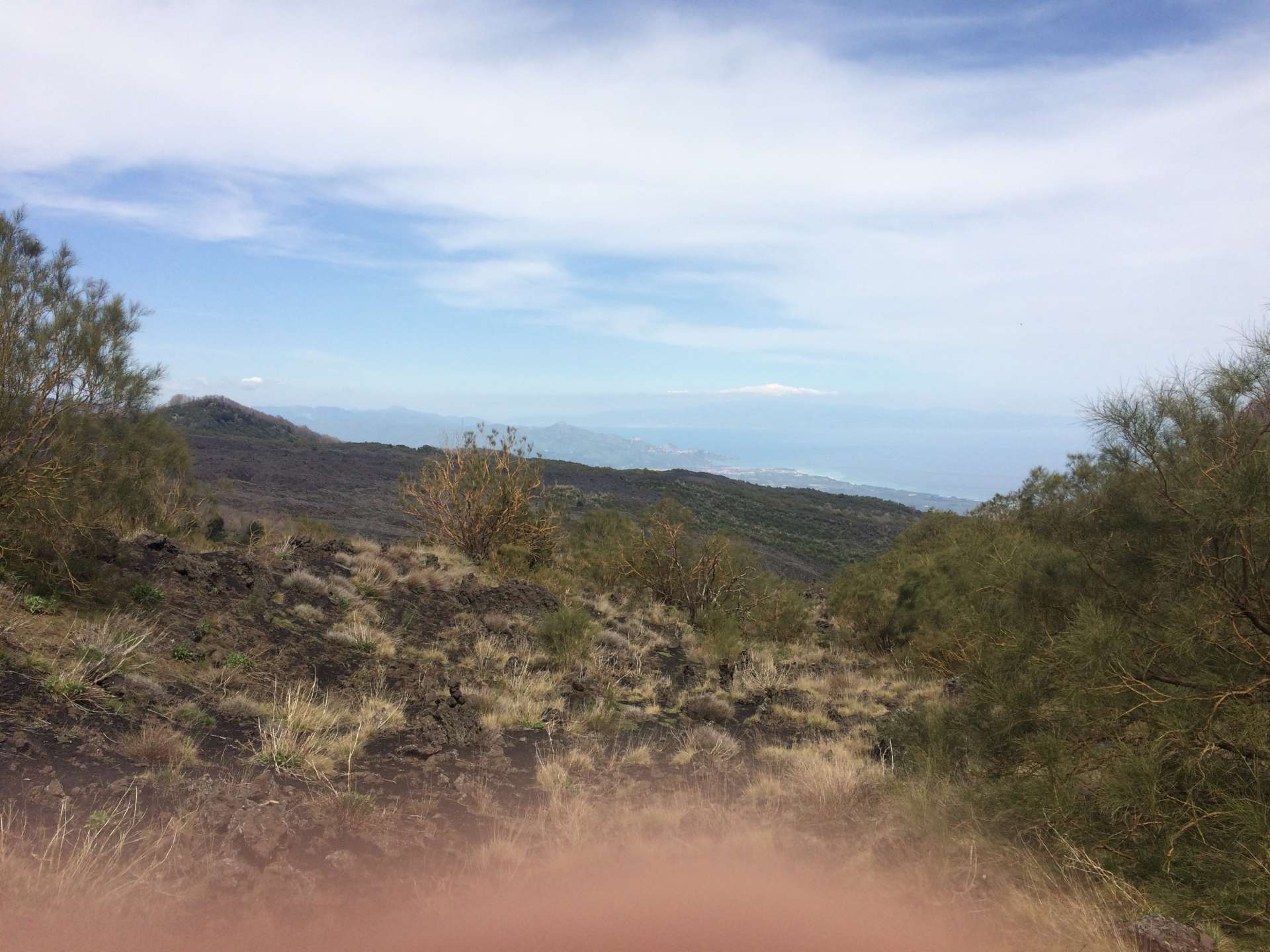
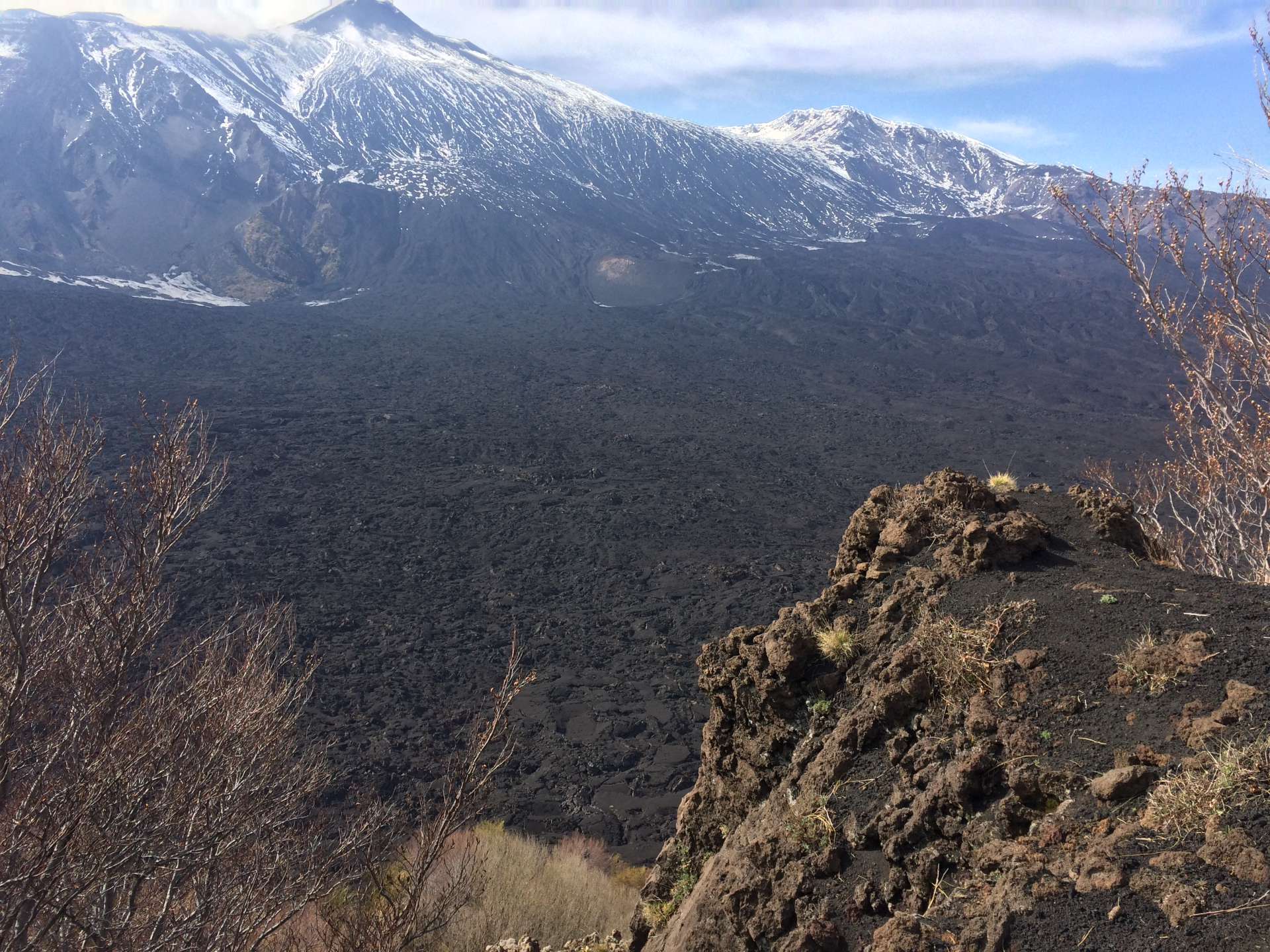
View of the lava field just crossed from an altitude of about 1700 m
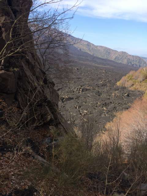
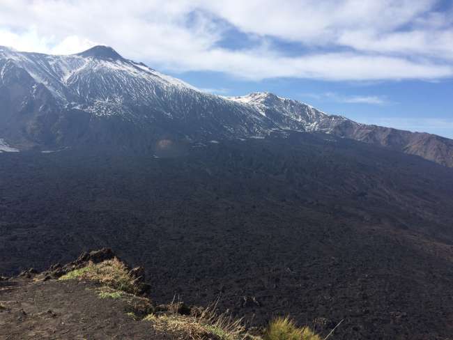
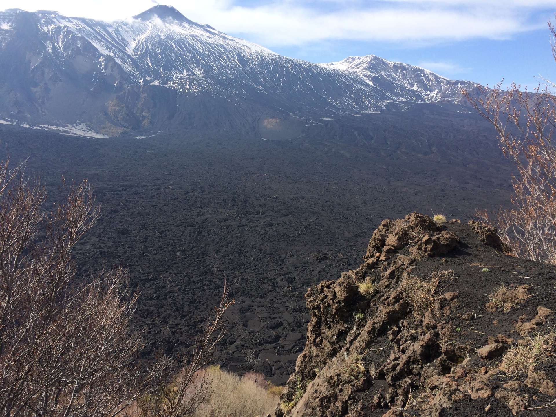
View of the lava field just crossed from an altitude of already 1700 m
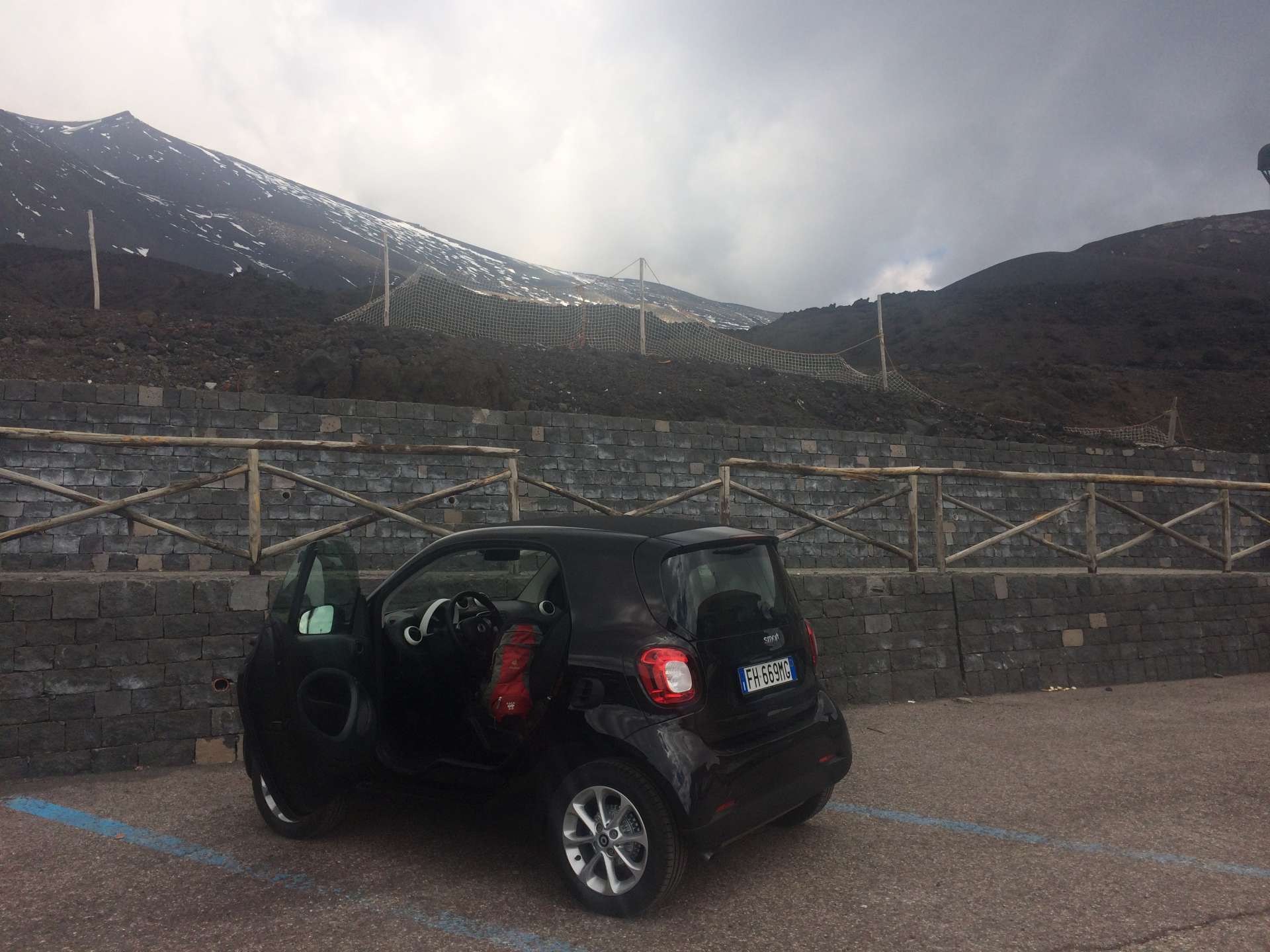
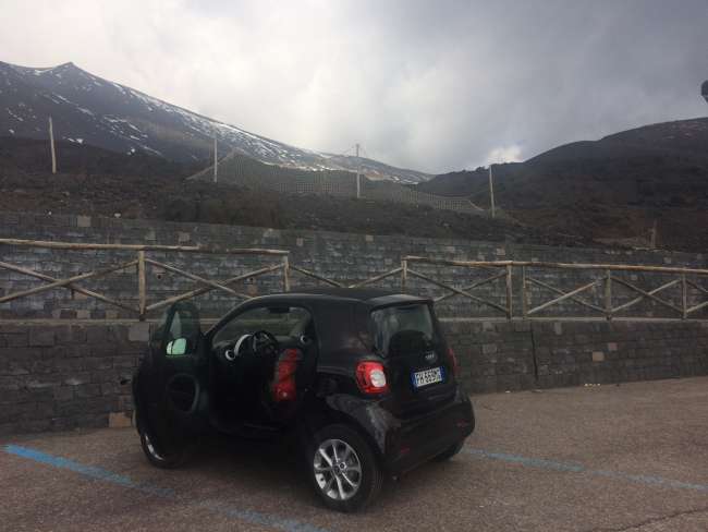
The borrowed automatic smart car, my reliable shuttle through the suburbs of Catania and the southeastern parts of Sicily
SizilienLike a newsletter: every new post arrives via email.

Answer