Star level
The day starts with a coffee by the pool.

Published: 29.07.2026
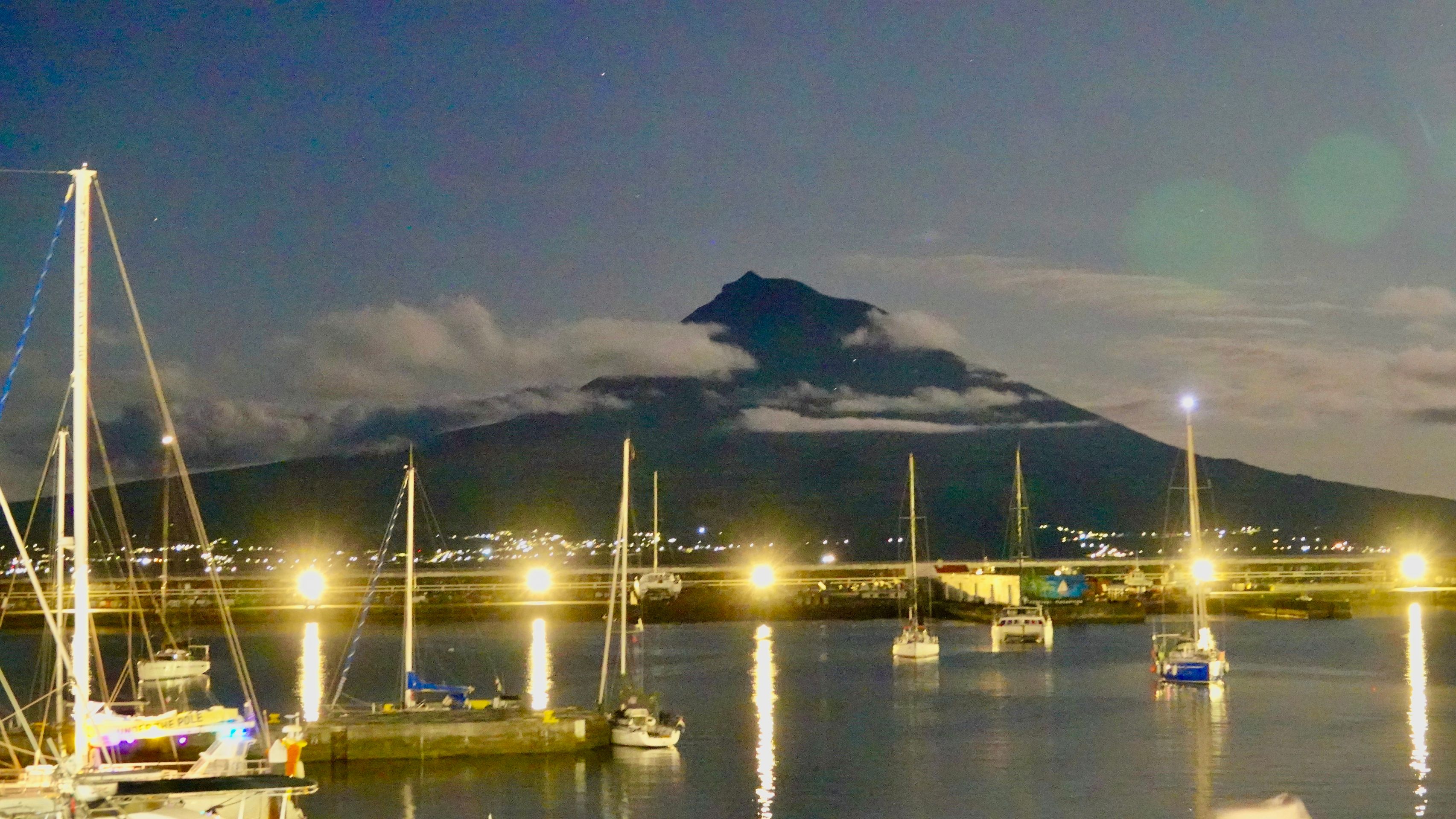
Travel day. Today we set off for our 4th island, Faial. Again, we drive along the longest straight road in Portugal, and once more, the Pico is not merciful, but rather coy like a virgin, shrouded in clouds.
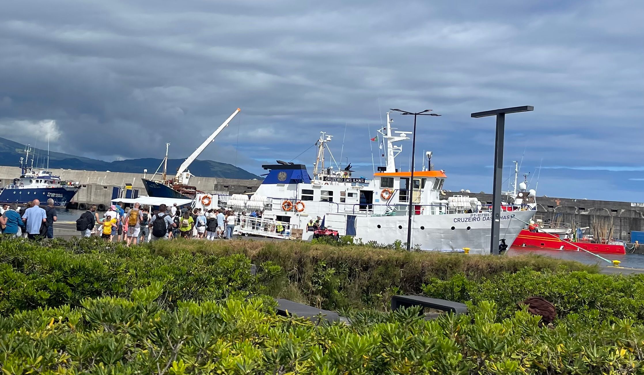
The ferry to Faial is somewhat smaller—cars cannot fit on it.
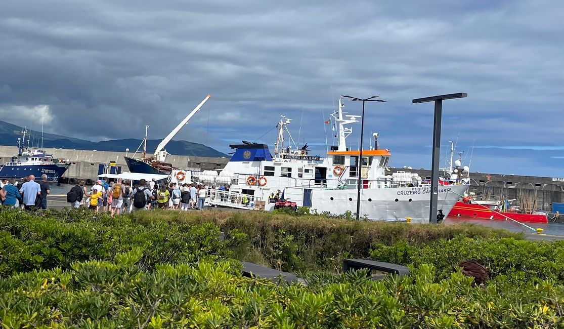
After 30 minutes, we anchor in Horta, the capital of Faial.
Facts:
Faial is the fifth largest island. It covers an area of 172 km² and has around 15,000 inhabitants. Faial has always played a special role, whether as a stopover for early transatlantic flights, as a center for telecommunications between Europe and America, or as an important yacht harbor.
At the baggage claim, we meet a family we had met during a health walk on São Jorge. The Azores are really that small.
Since we are flying further tomorrow, we now need to go through the entire mandatory sightseeing program.
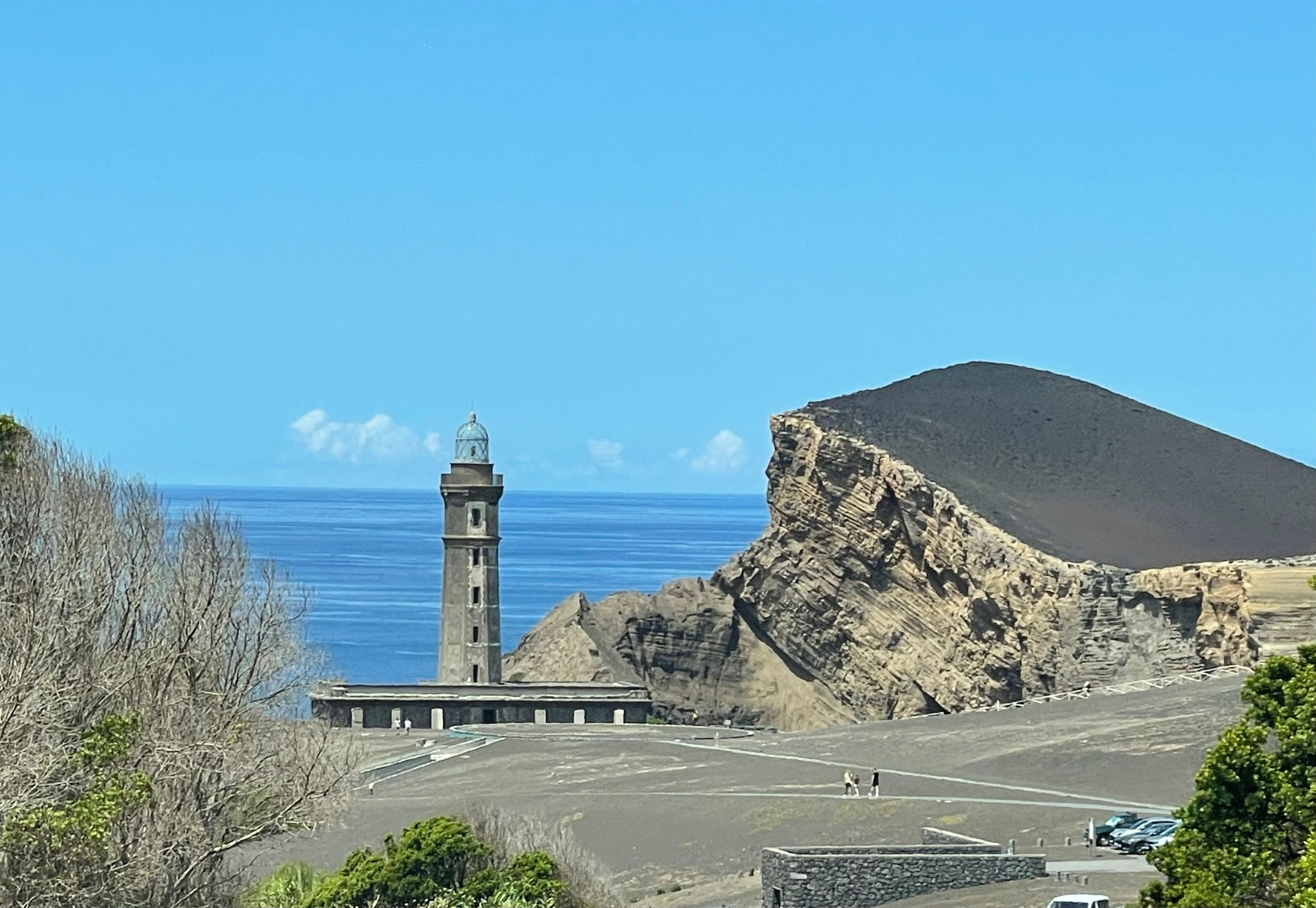
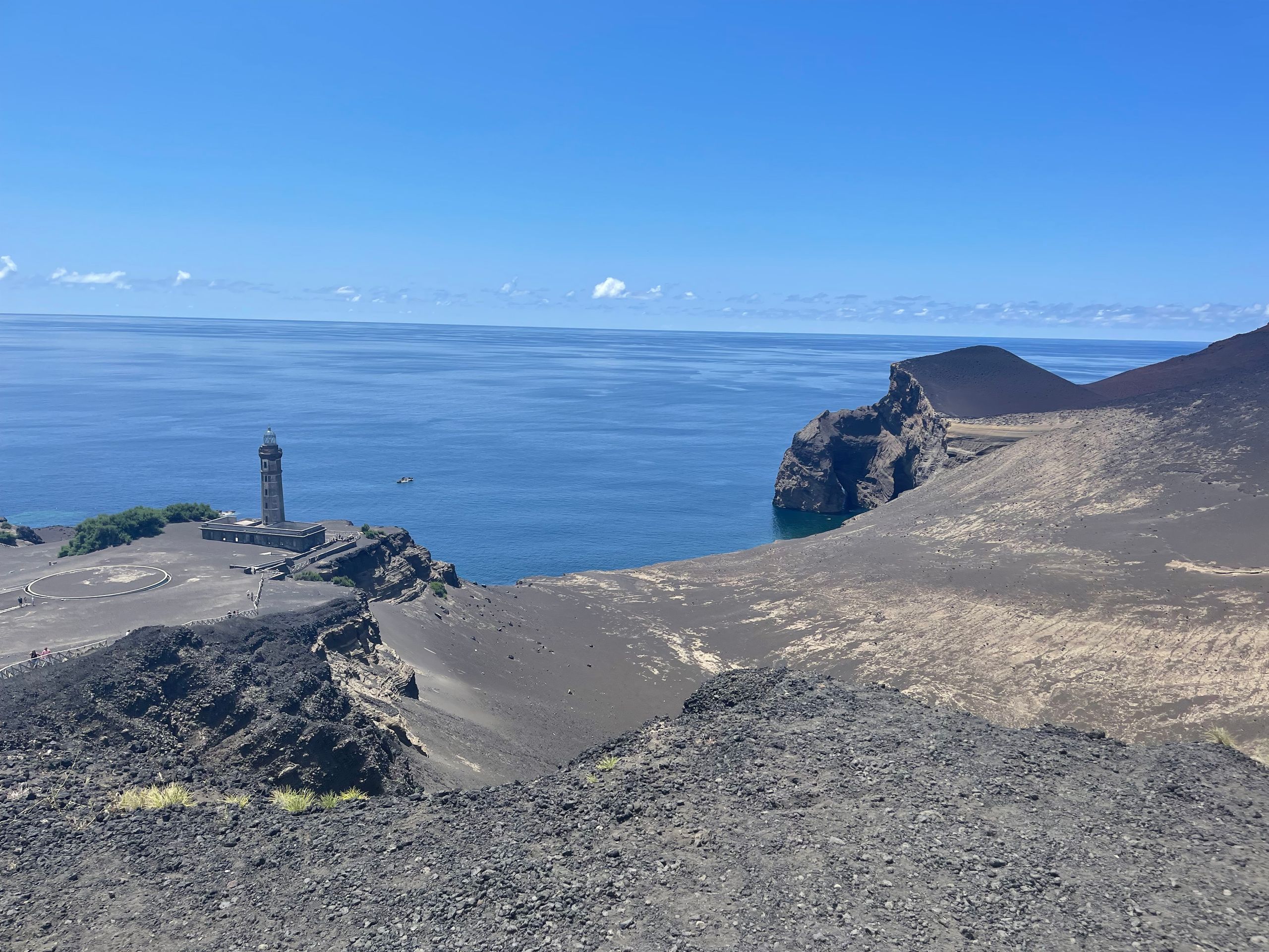
First stop, Farol da Ponta dos Capelinhos.
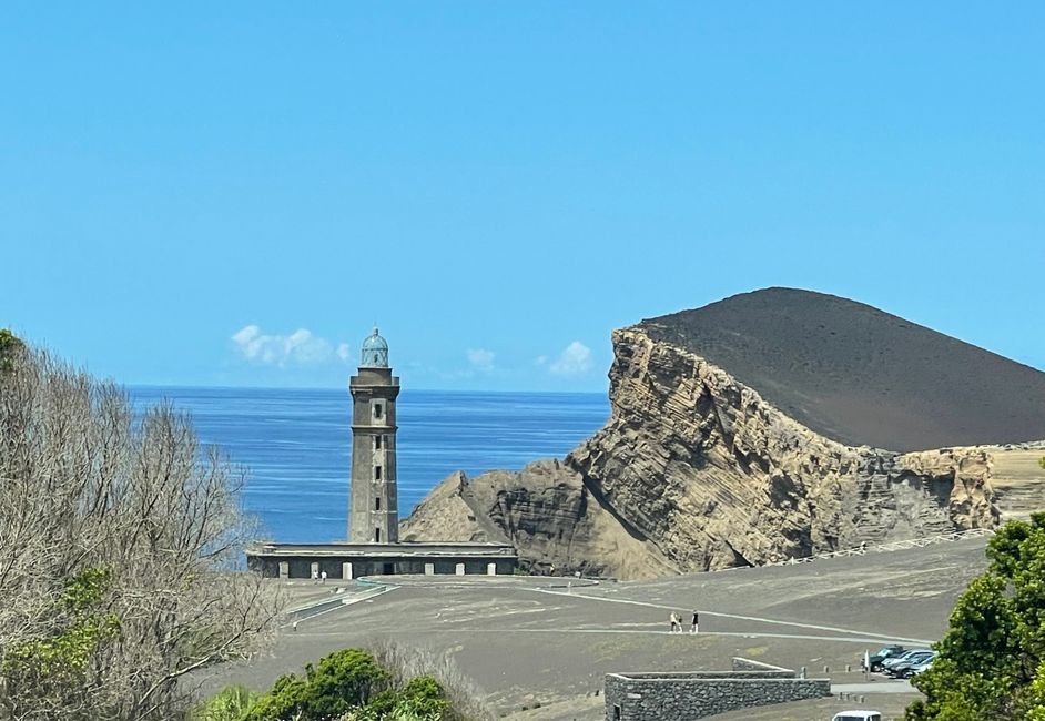
Like all Azorean islands, Faial was formed from a volcano. The last eruption occurred here in 1957.
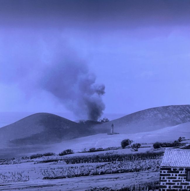
Facts:
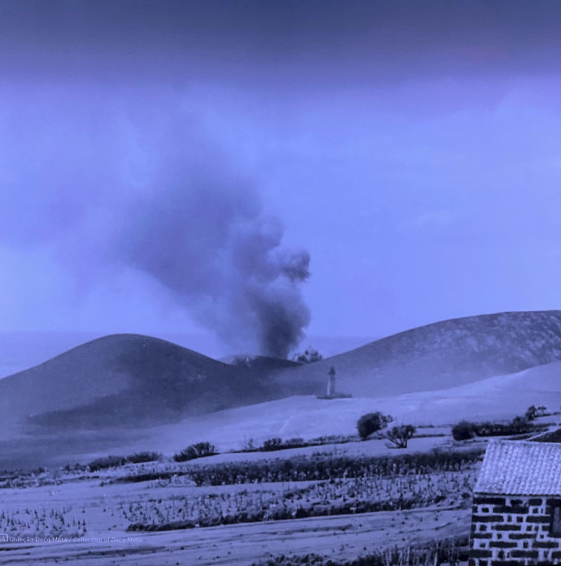
On September 27, 1957, a volcano erupted about 1 km off the western tip of the island, in open water. The newly formed volcanic island merged with the main island of Faial on November 12, 1957, and the volcanic activity ended on October 24, 1958. The consequences of the eruption were devastating. Ash was ejected over 1000 m into the air, there were massive explosions and numerous earthquakes, approximately 300 houses were completely destroyed. Around 2000 people had to be relocated, and many island residents ultimately decided to emigrate to the USA, which waived the requirement for a Green Card through special legislation, enabling the immigration of those affected by the disaster.
The peninsula created by the volcanic eruption, approximately 2.4 km² in size, was named Ponta dos Capelinhos.
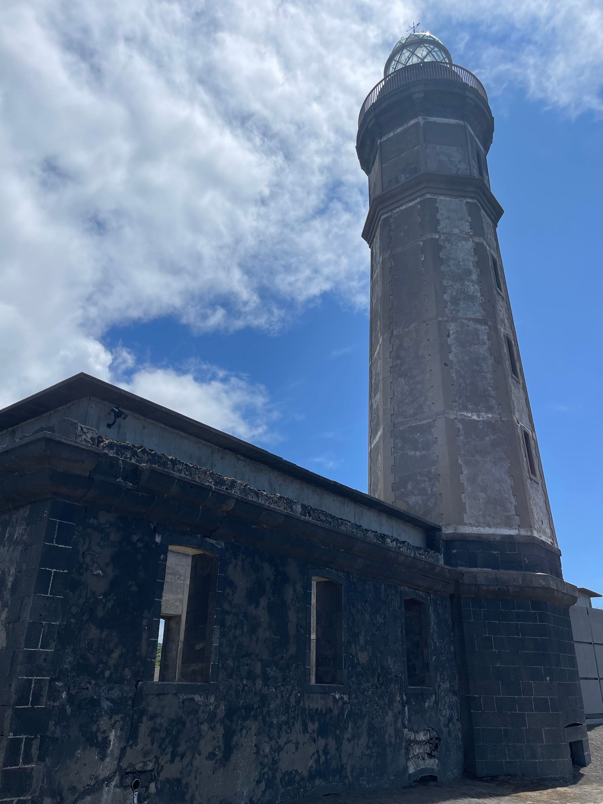
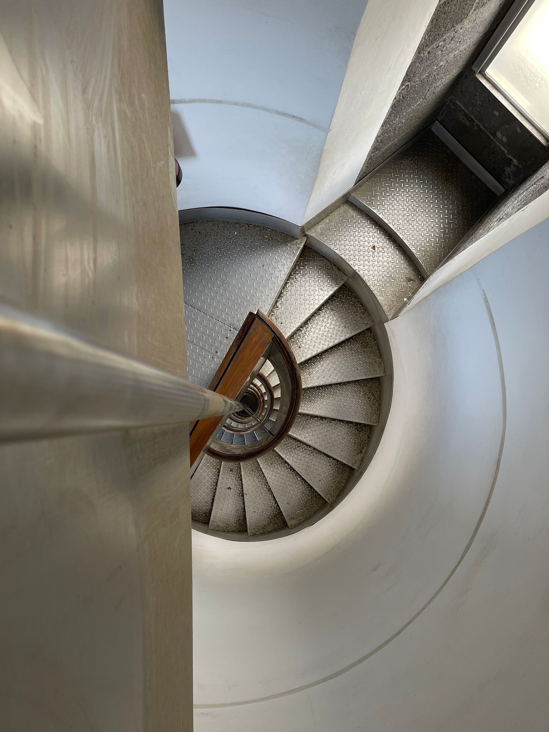
After visiting the underground information center about volcanoes, we climbed the lighthouse with 173 steps.
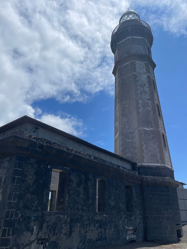
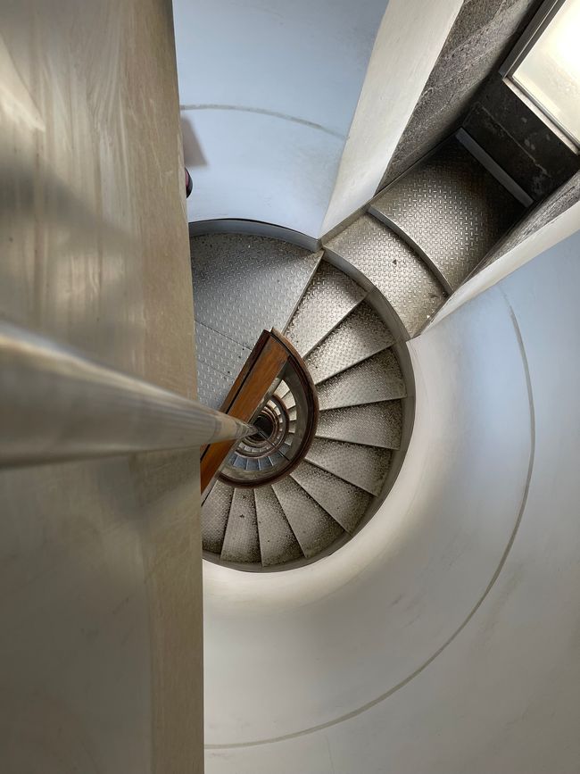
and the volcanic elevation.
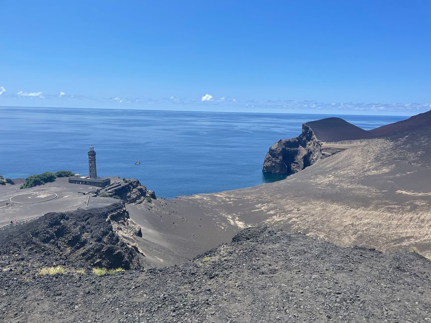
However, I had to realize that the combination of black lava rocks in the blazing midday sun, black clothing, and almost patternless sneakers is a really terrible combination for climbing lava mountains.
On to the next highlight of the island,
the Caldeira do Faial
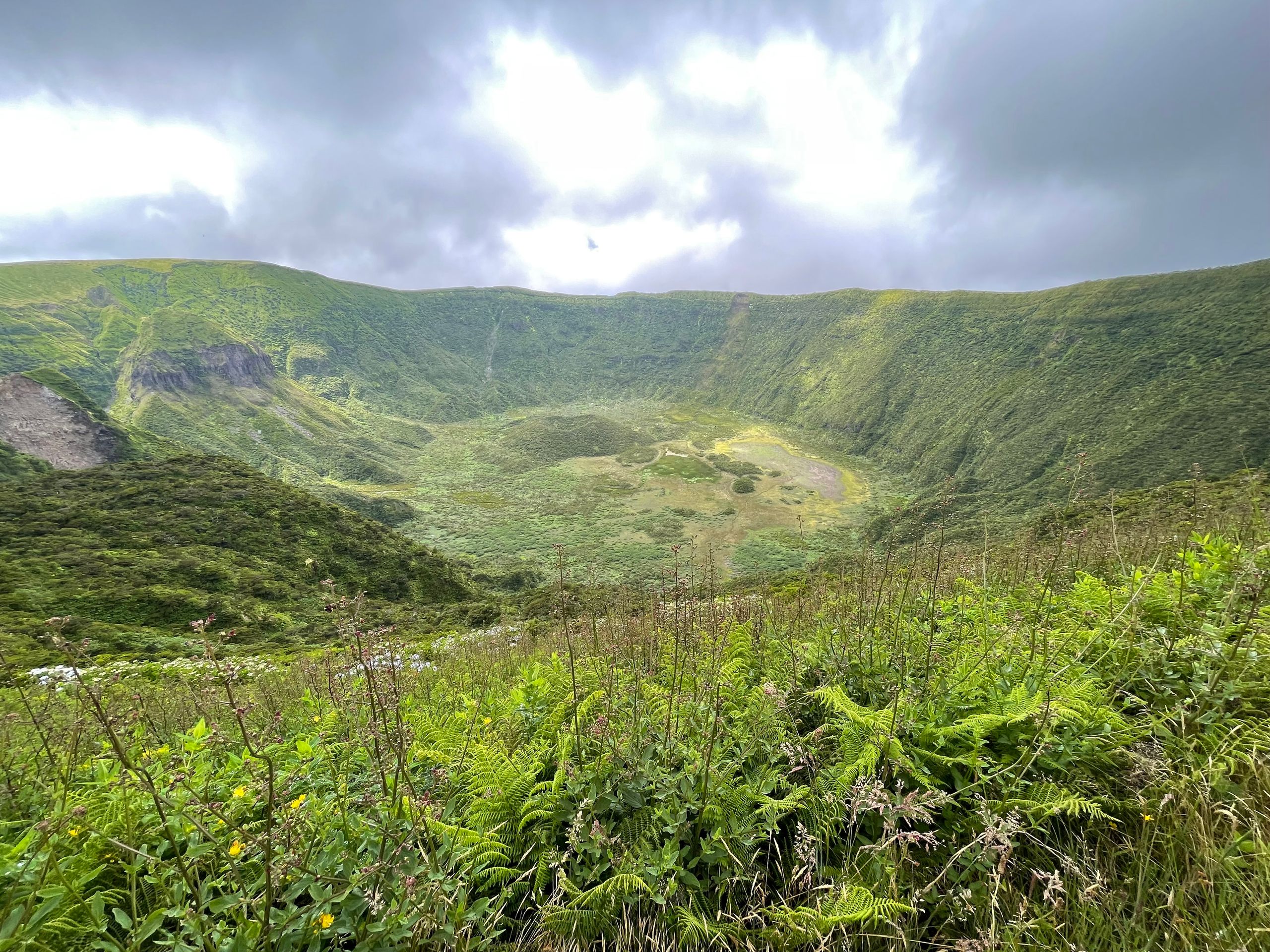
Through a small narrow passage, one reaches the Caldeira.
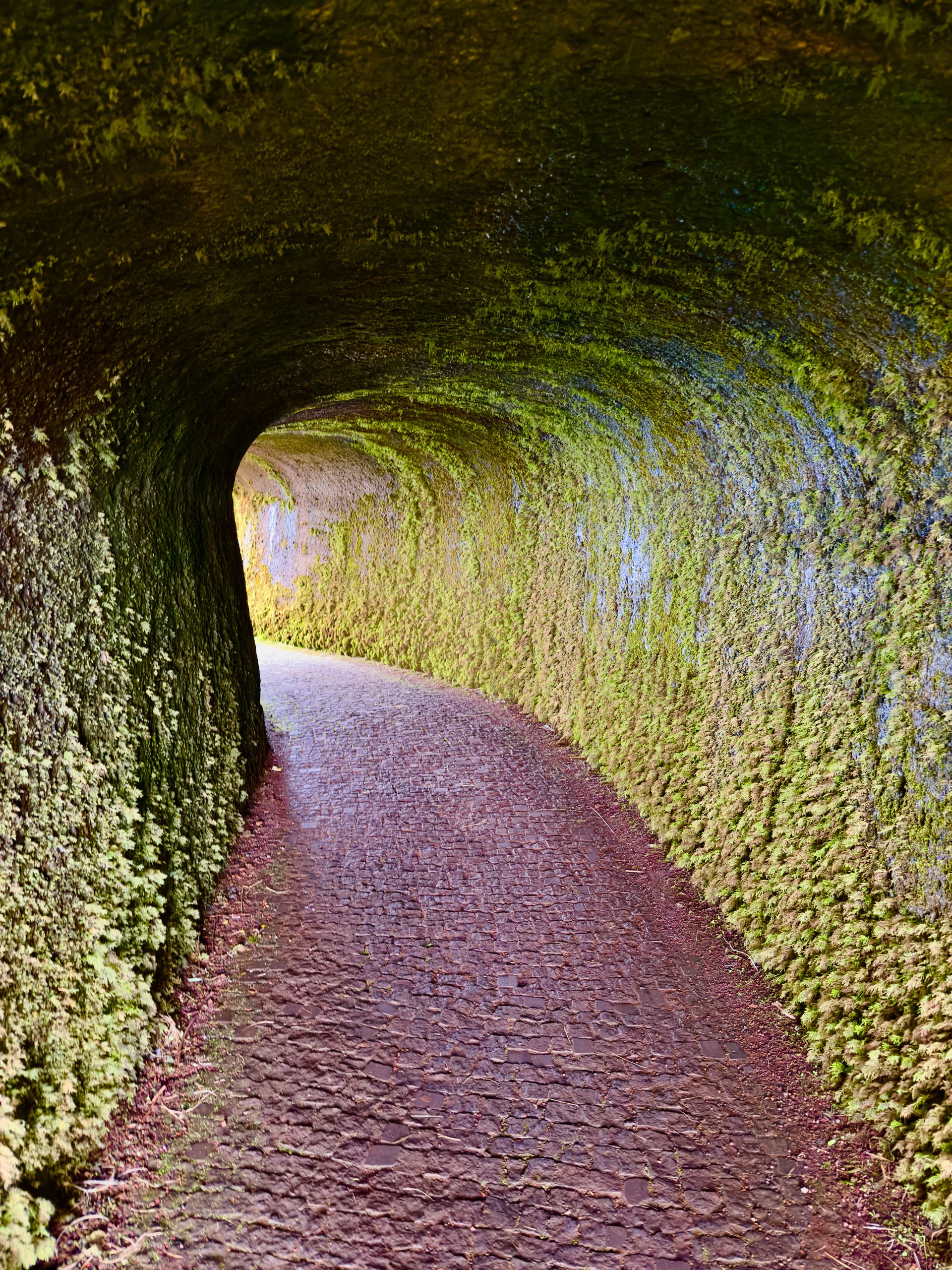
Facts:
It is a caldera with a diameter of about 2 kilometers and is the youngest caldera in the Azores, approximately 1000 years old.
Even though the Caldeira is not high at 1043 meters, clouds still cling to it. A look at the Cabeço Gordo webcam shows whether the drive up is worthwhile.
For us, it was worth it.
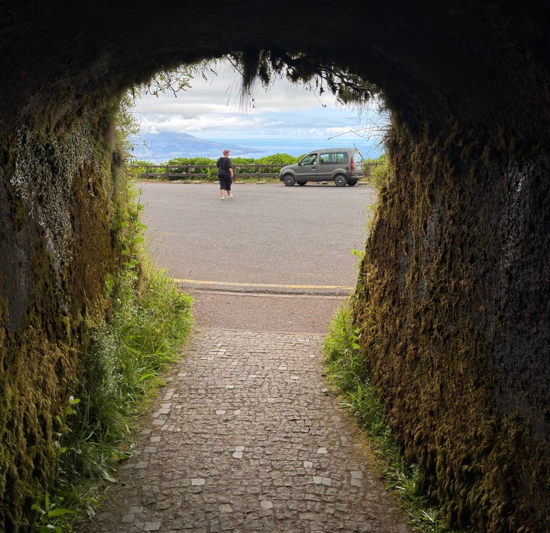
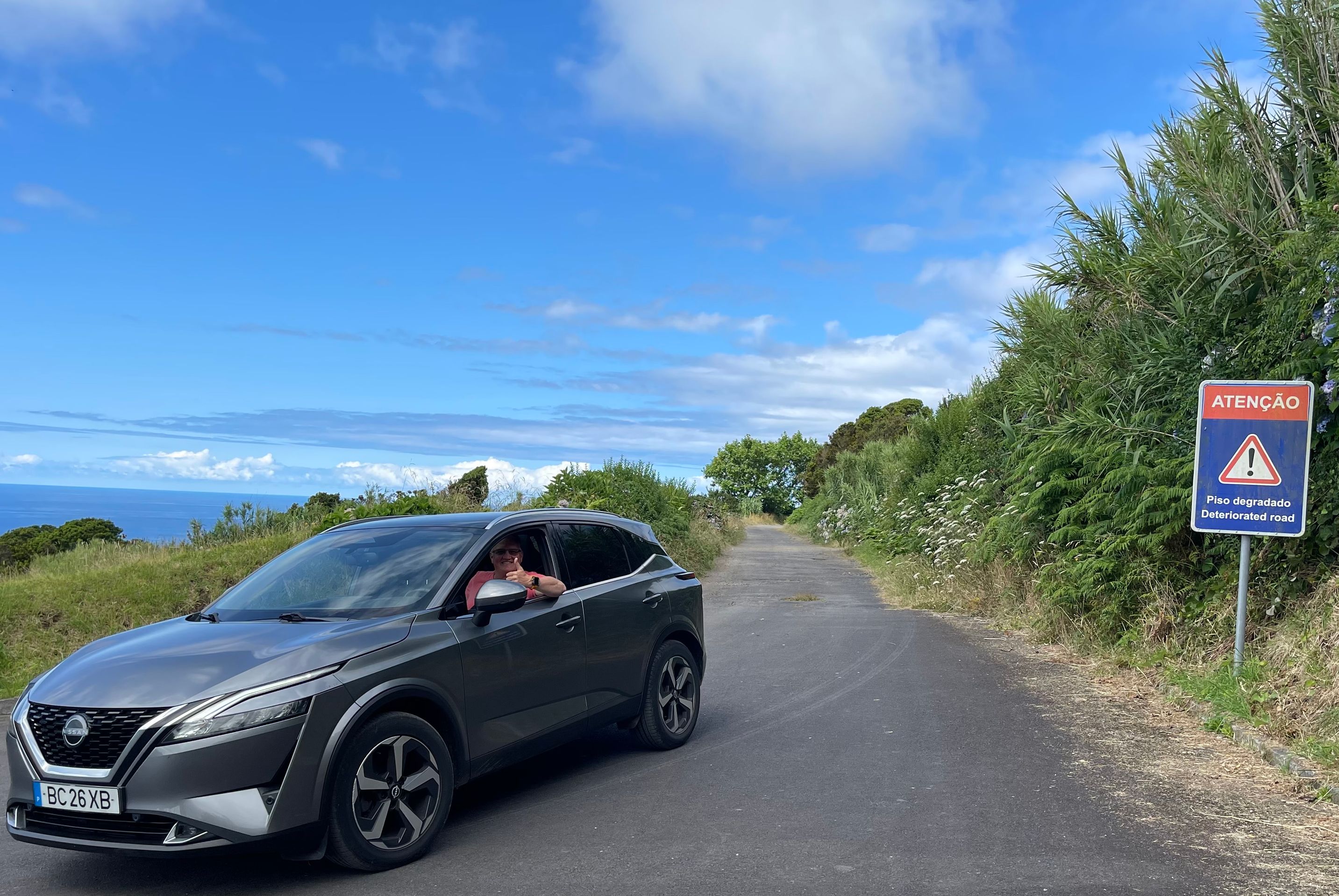
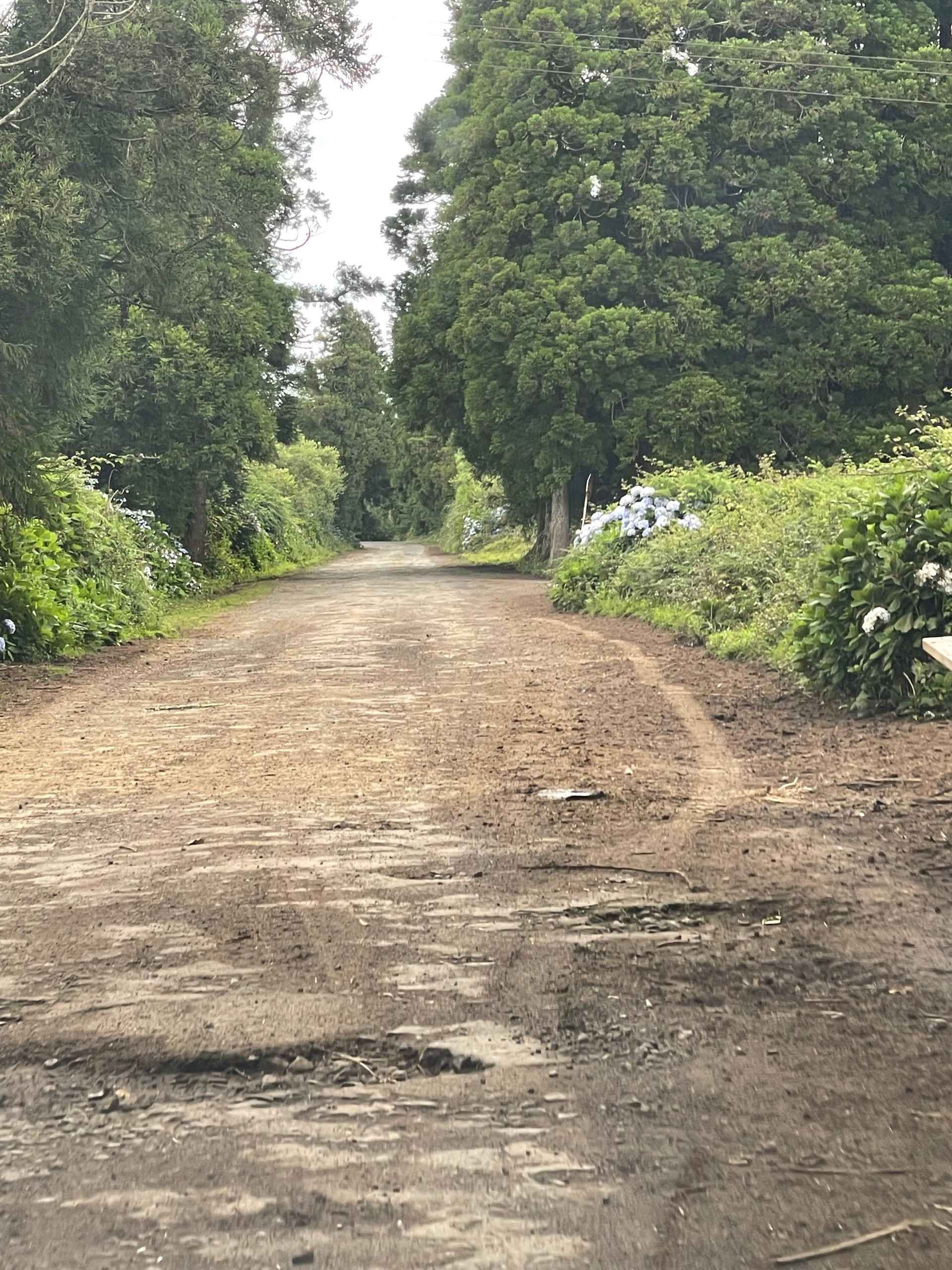
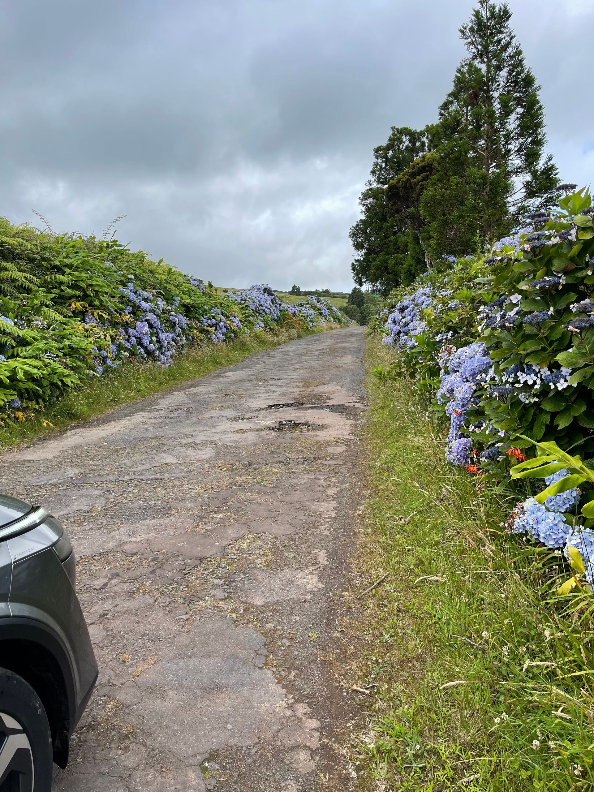
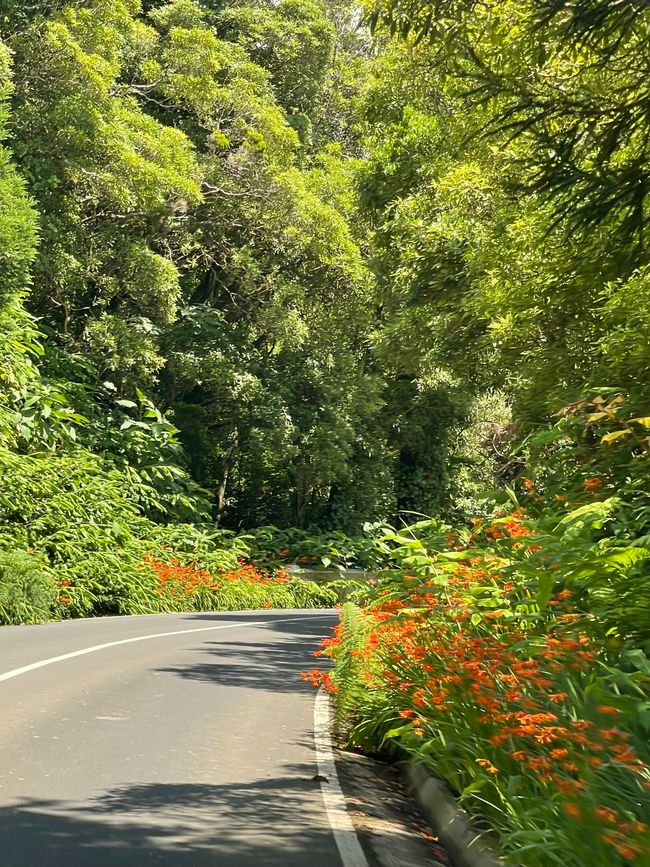
To complete the island, we need to take the EN 2-2A from the Caldeira towards Ribeira Funda. However, according to Google, the road is closed - but it doesn't look closed - in the sense of I placed a barrier and a no-entry sign.
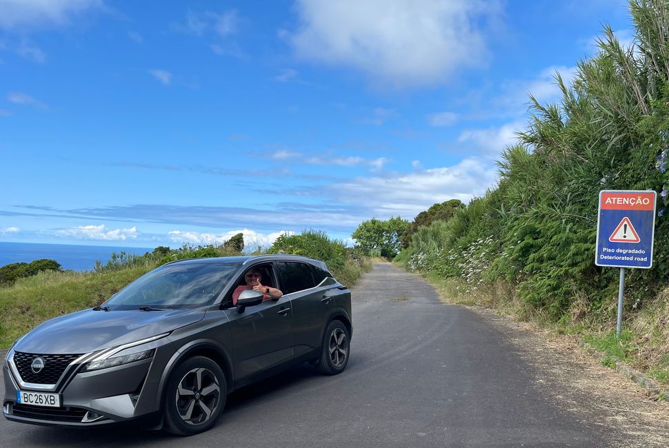
A blue sign merely indicates a