In the far north
Published: 10.12.2018
Subscribe to Newsletter
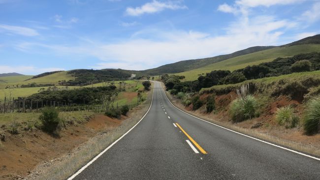
After a clarifying breakfast dispute (after 11 weeks, it can happen) and a look at the weather app, we decided to drive to Cape Reinga. The northernmost point of New Zealand. It's still 1 hour and 50 minutes driving time from us, even though we're almost there.
Carsten falls asleep next to me after a short time and I cruise through the landscape.
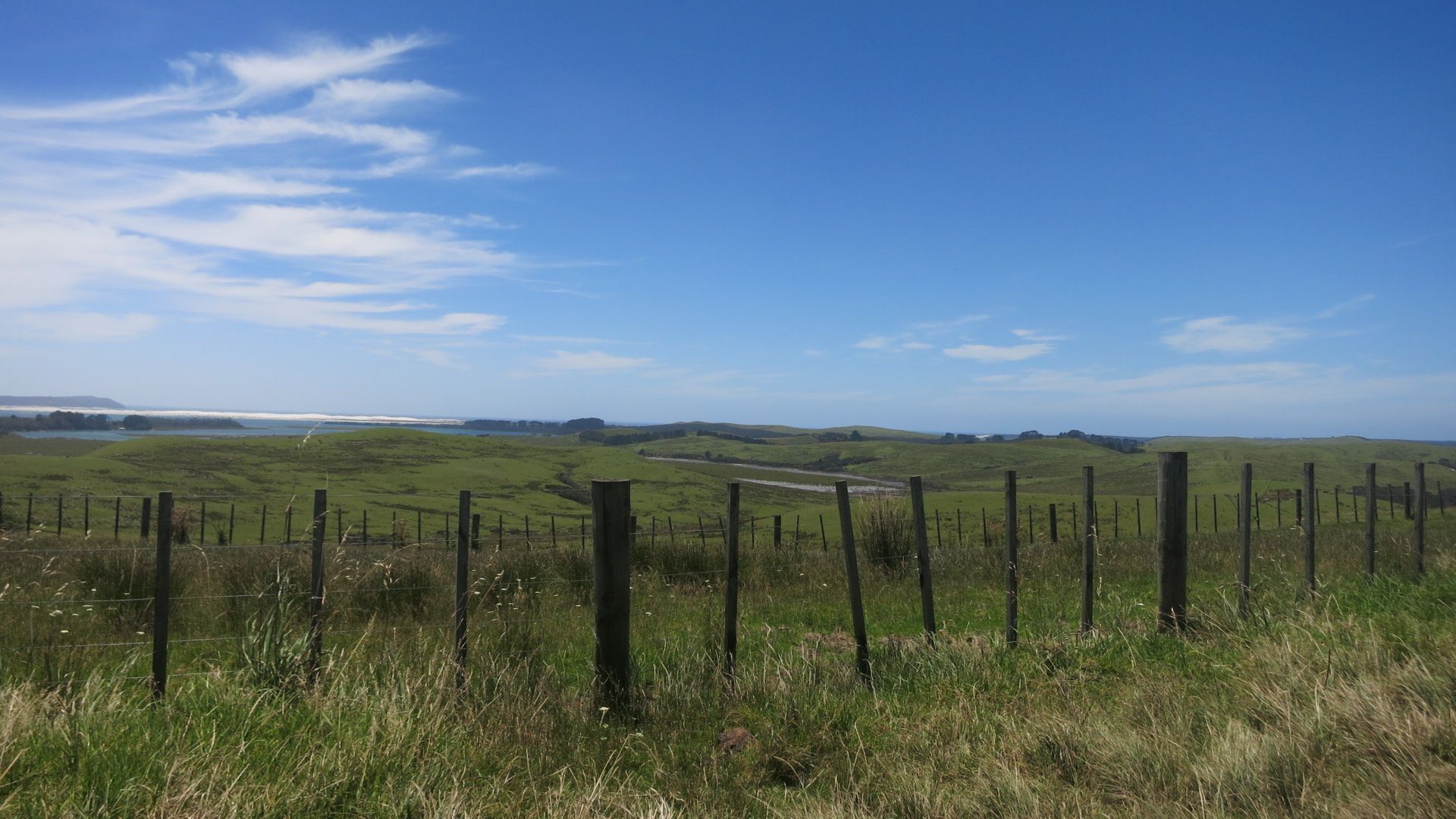
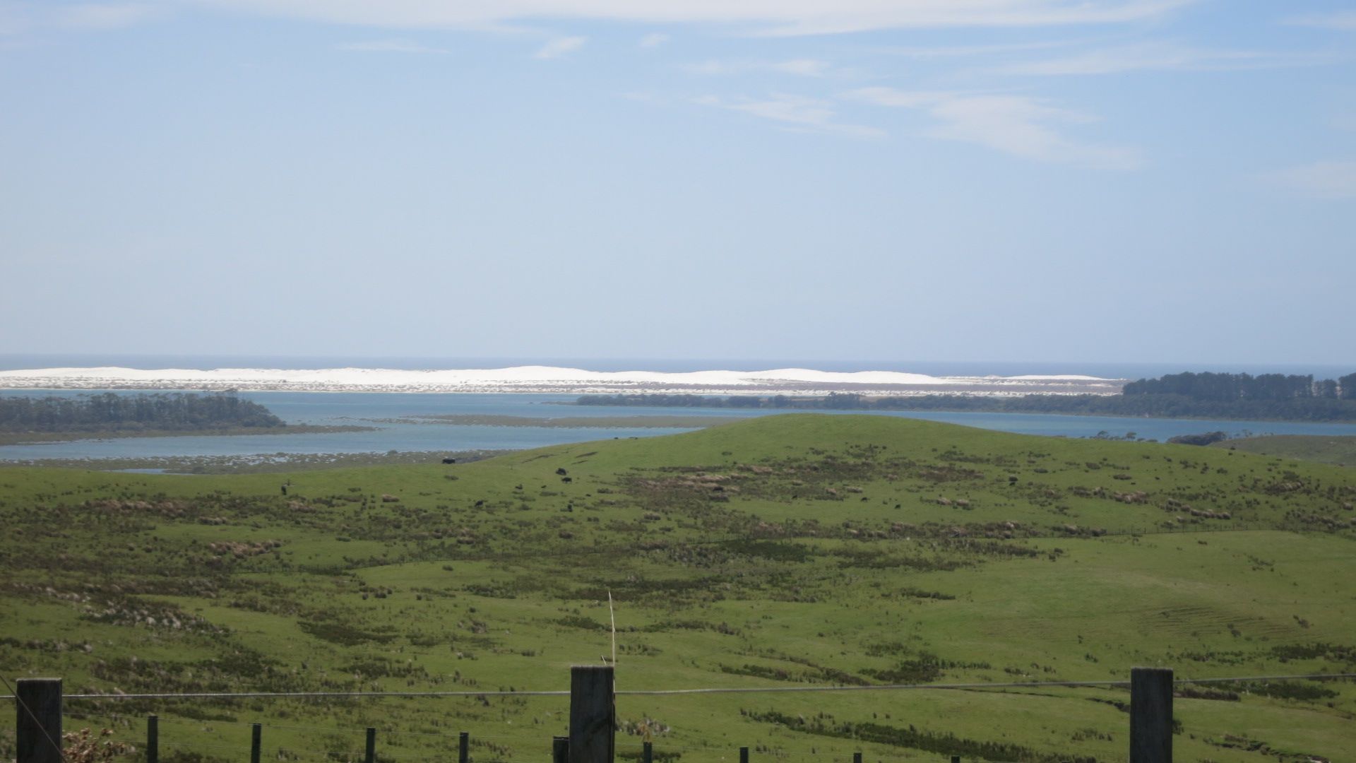

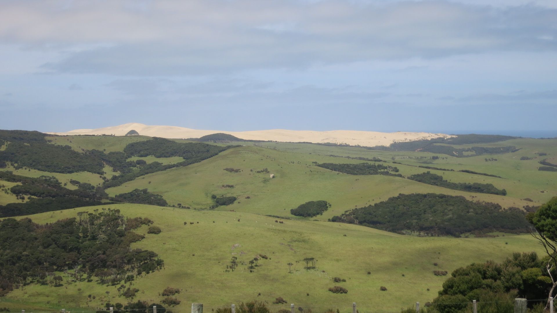

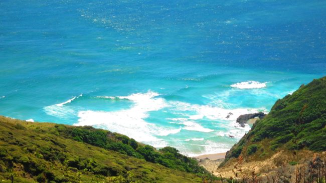
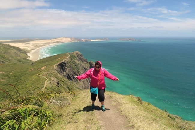
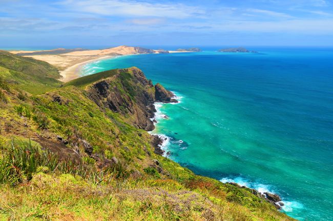
Upon arrival, a fresh breeze greets us. A nicely laid out footpath leads us directly to the lighthouse. One simply had to follow the path, but one doesn't have to. No, we prefer to climb an unpaved path up the mountain. The view is amazing........


And the wind even more powerful. With some gusts, I had trouble standing still, even with my gazelle-like weight.
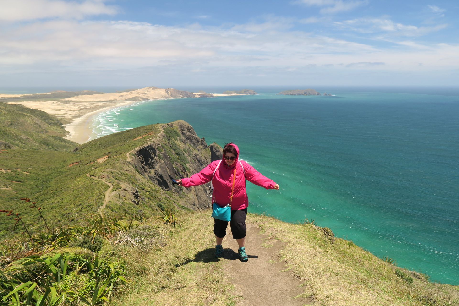
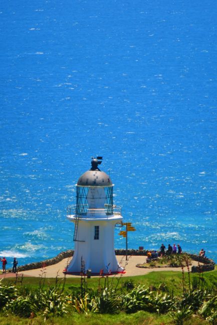
At some point, the well-developed path brought us back and we continued our way towards the lighthouse with determination. A cute, fully automated lighthouse that is only 17,633.41 km away from Lauenau. So to speak just around the corner. But the weather in Lauenau was certainly not as nice as here.

💡At the northernmost point, the Tasman Sea and the Pacific Ocean meet. Cape Reinga or Rerenga Wairua is a holy place for the Māori. The souls of the deceased go from the cape to the summit Ōhau on the Three Kings Island. After a final glance back towards New Zealand, they embark on their final journey to Hawaiki, the place of their ancestors.
At the entrance, a sign informed that whales can be observed from here. I kept a lookout for hours and got nothing. Not even a dolphin, which you usually always see.
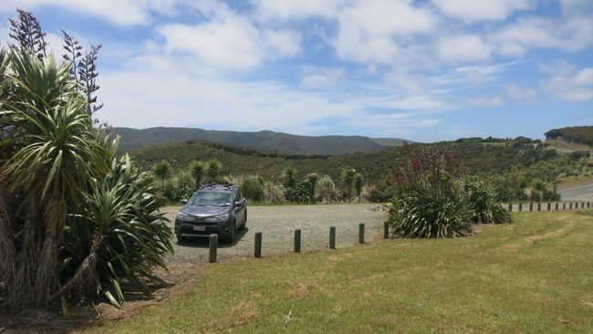
After countless photos and a nice conversation with a couple from Munich, in accent-free standard German, we headed back to the parking lot. I fervently hoped that the strong wind would blow us up the mountain, but hoping and waiting can deceive some.
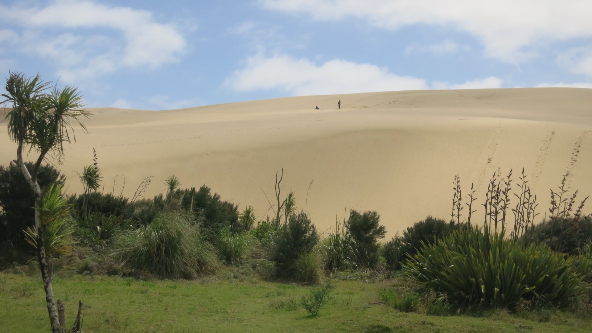
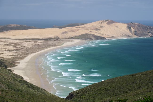
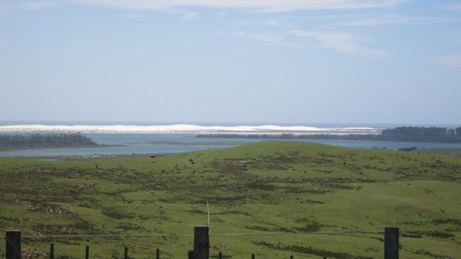
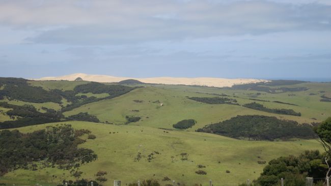
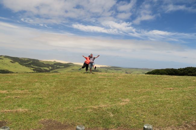
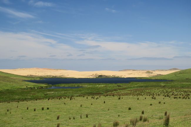
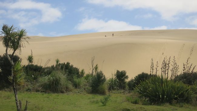
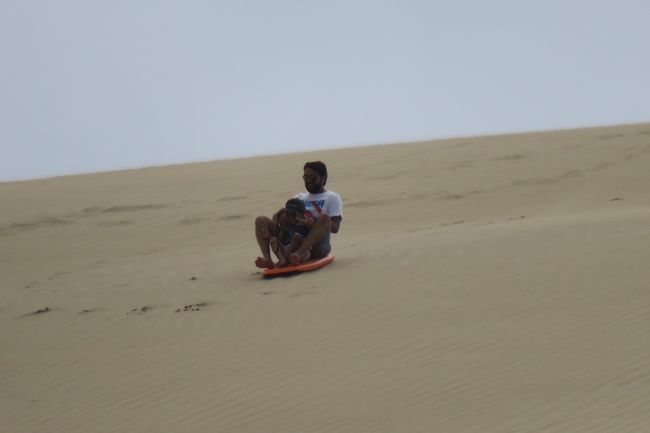
A huge, over 100-meter-high sand dune, which is very popular with tourists for sandboarding.

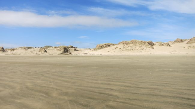
Next stop, the 90-Mile Beach.
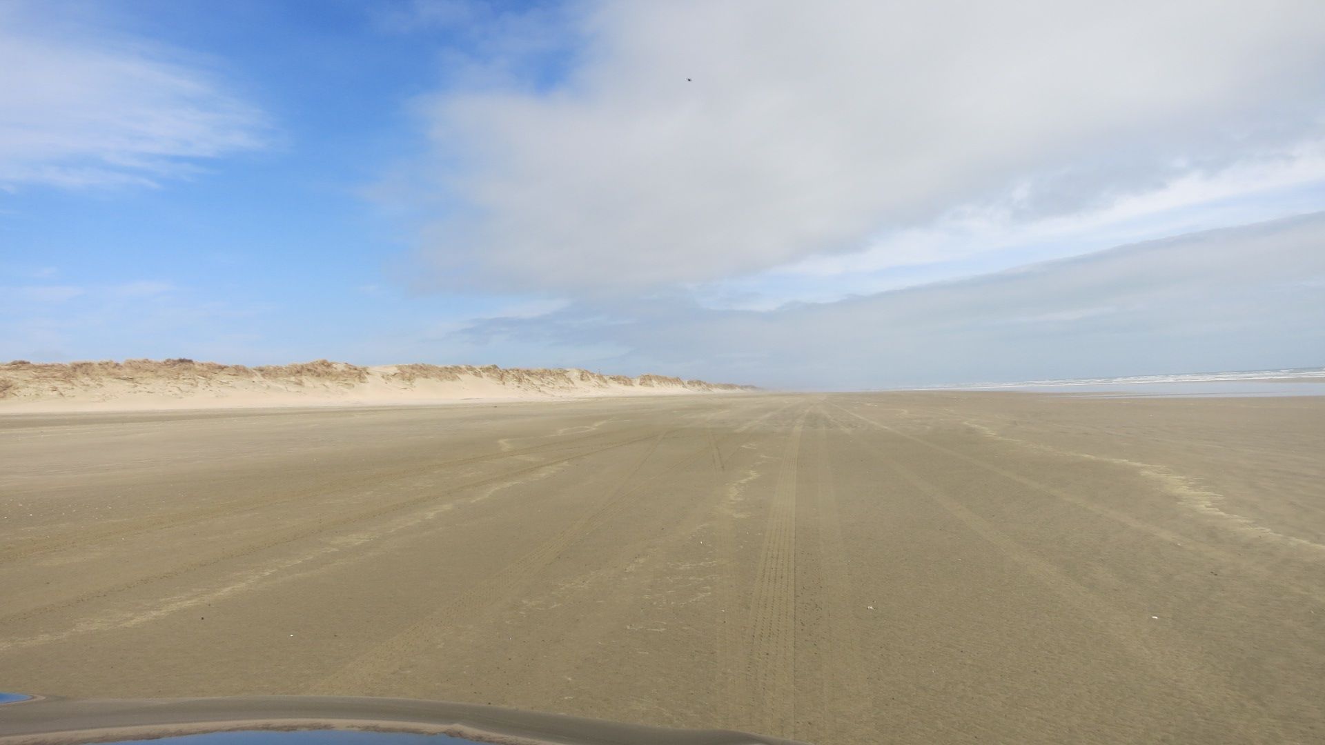
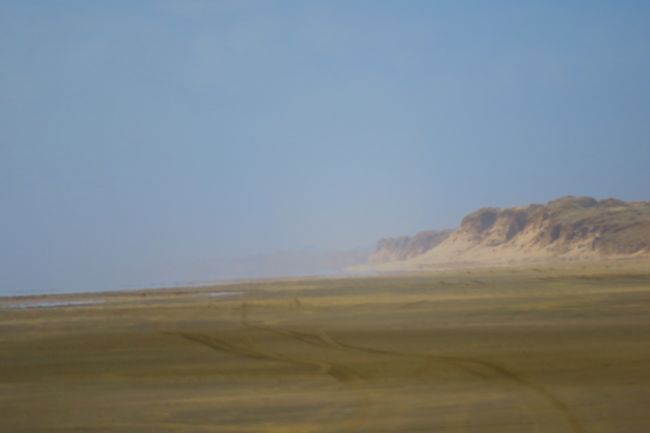
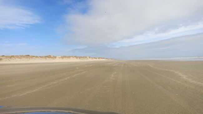
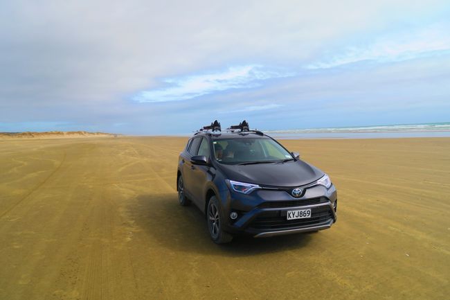
💡The Ninety-Mile Beach is a stretch of beach that can be driven on by car during low tide. Many locals use it as an alternative route to the road.
Why it is called that is not known, as its length is only 55 miles. In 1932, the beach was used as a runway for mail traffic between New Zealand and Australia.
We felt like we were at the beach in Denmark, just with less traffic.
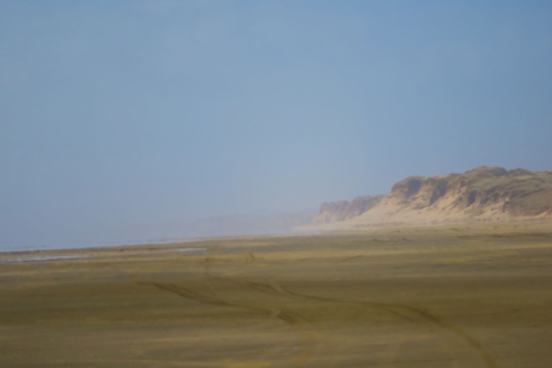
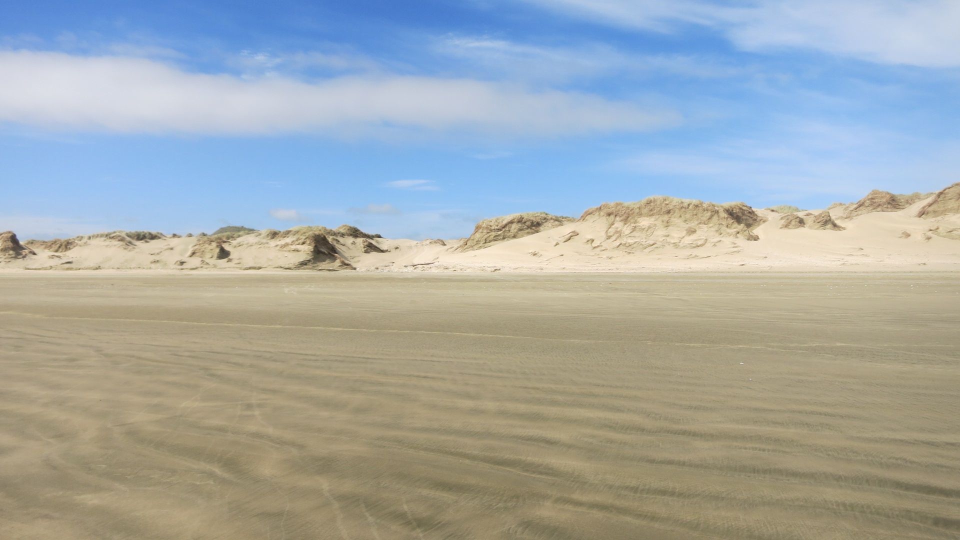
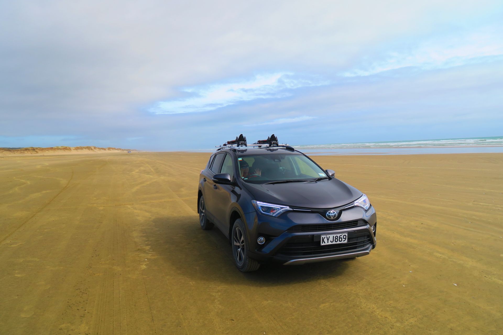
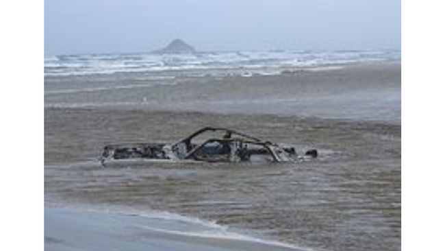
We also wanted to use it as an alternative to the road, but when we drove onto it, we didn't know where the next exit was. Googling was out of the question - no network. In principle, that's not a problem, because it was just the lowest low tide. However, if you don't have much gas left in the tank, it makes it a nerve-racking experience. The navigation system constantly says "turn left in 300 meters," but there is no exit there. That can make you nervous. We wouldn't be the first car to sink into the waves.
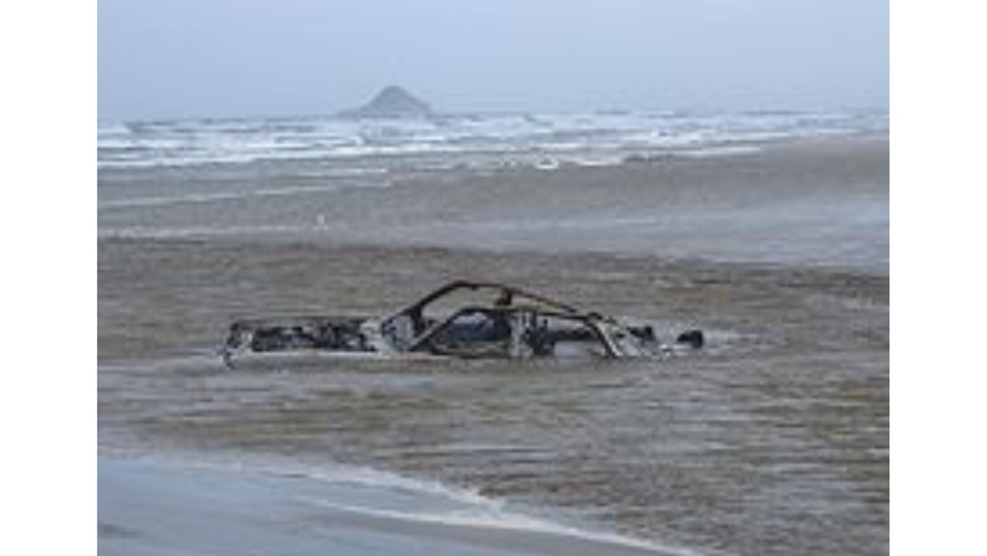
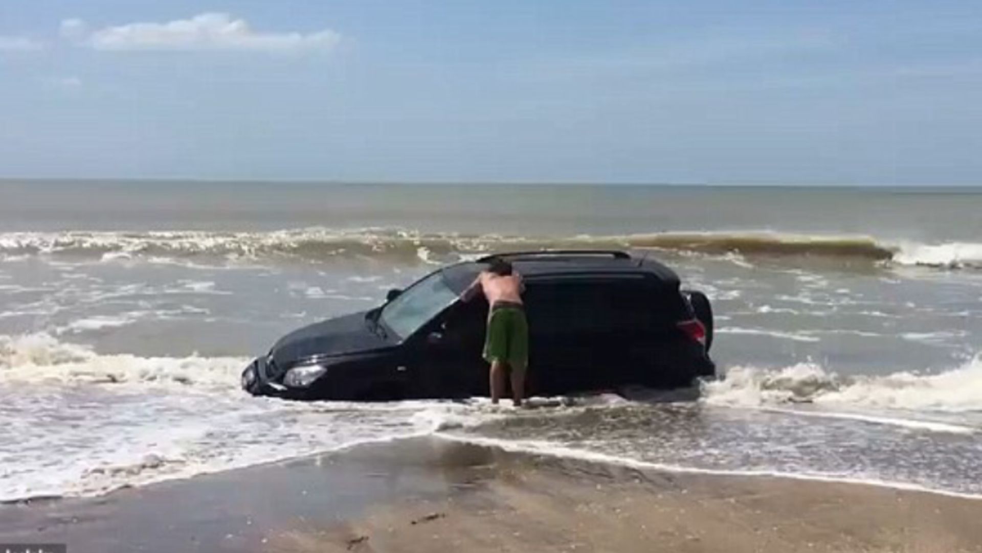
But luckily, everything went well and we were able to drive towards our grilling session with a tank full of gas.
Subscribe to Newsletter
Answer (1)
Angi
Cool 👍🏻😁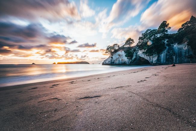
Travel reports New Zealand

