Te Nuku - o - Mourea
ޝާއިޢުކޮށްފައިވެއެވެ: 04.12.2018
ނިއުސްލެޓަރ އަށް ސަބްސްކްރައިބް ކޮށްލައްވާ
The next day we continued our journey to Kaitaia. In this small town, we spent the next two days in an Airbnb. We found that, compared to a hostel, motel, or similar, this is the most cost-effective and comfortable option for us. In the cheapest hostels, an overnight stay per person in a dorm room, with at least four people but often eight to twelve, costs about 30 NZ$. In a double room, it's 70 NZ$ together. In this Airbnb, we paid 35 € per night together, which is equivalent to 58 NZ$. In addition to the lower price advantage, there was inclusive breakfast, less foot traffic, the use of the washing machine, a feeling of increased security, and definitely higher cleanliness.
Arriving in Kaitaia, we visited a small weekly market. There, local farmers offered fresh fruit, vegetables, and various handmade items. There were also small stands reminiscent of a flea market, live music, and, as always, food and drink. We treated ourselves to homemade avocado ice cream.
As we mentioned before, the goal of our trip through Northland was to visit Cape Reinga. The town of Kaitaia, with about 5,000 inhabitants, is the largest city in the northernmost 150 km of New Zealand. From here, we were able to fulfill this wish with a booked bus tour by Harrison Cape Runners. Originally, our plan was to explore this route ourselves, but without a car and due to the challenging natural conditions, it would have been extremely difficult. The tour was offered in a four-wheel-drive bus, which was desperately needed for some sections of the route.
The tour lasted a whole day and started early in the morning. In Kaitaia, all guests were collected. We were relieved when we boarded the small bus because only 10 people in total took part, and our fear that the trip would be too touristy quickly disappeared. The very friendly bus driver seemed experienced and provided numerous information and Maori history throughout the entire tour. The first highlight was the 90 Mile Beach (which is not actually 90 miles long but only 60 km). The bus drove to the edge of the ocean. We got off, and in front of us was the vast beach. So early in the morning, the sun had not yet completely defeated the fog banks, and there was no end to the beach in either direction. As you can see in the photo, this is not dense fog, possibly just high humidity due to the spray of the waves. We could imagine that the end of this beach is far away. Furthermore, it was special for us at that moment to be on the west coast of New Zealand, the Tasman Sea.
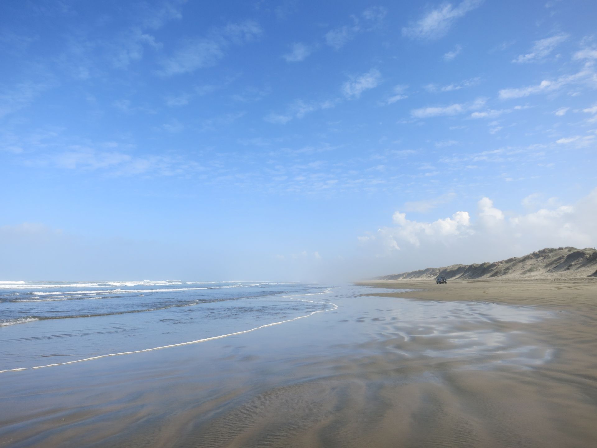
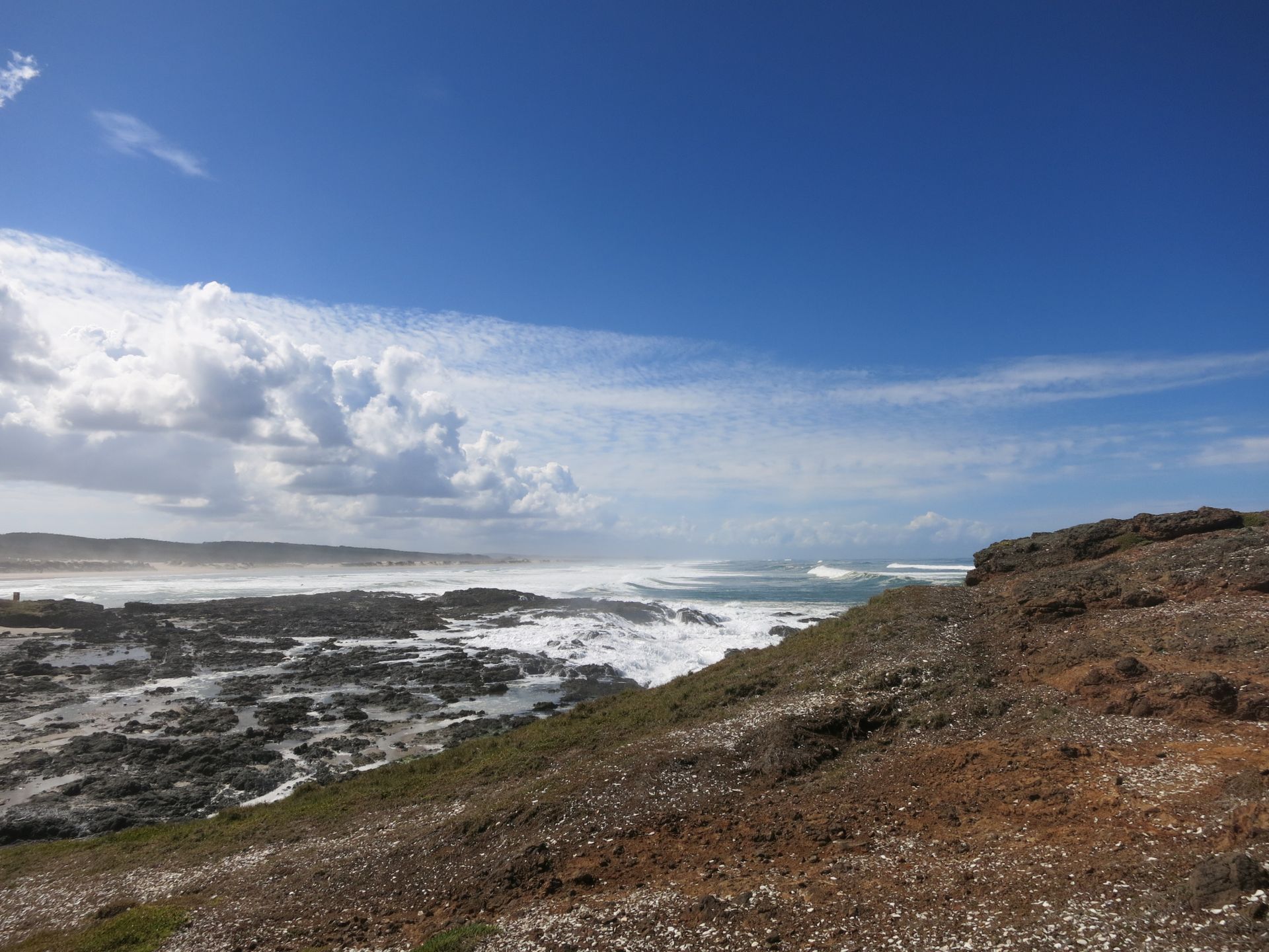
We spent the next two hours on this beach because the tour actually went along the entire length of 90 Mile Beach. Here were two dead stingrays, there was a dead shark, and even a meter-long whale skeleton, as well as occasional hikers who were greeted with joy, but more on that later. In between, there were occasional stops at particularly beautiful spots, and the waves broke, as if on a thread, on the endless beach. By the beginning of the next section, we realized that the risk would have been too high with a private vehicle because now it was getting really rough. We left the beach behind before the tides and bumped through a small river directly into the heart of huge sand dunes. Shortly before at the ocean, we now felt like we were in the middle of a desert. After a short, wild ride, the next stop: sandboarding *wahooo*. We jumped out of the bus, excited, grabbed a board, and started the short but challenging climb. Have you ever climbed a sand dune? *panting*. Once we reached the top, completely out of breath, Caro considered backing out when she saw the slope and the rapid descent of the others. Did she dare?
The journey continued, and the landscape changed again after only 10 minutes.
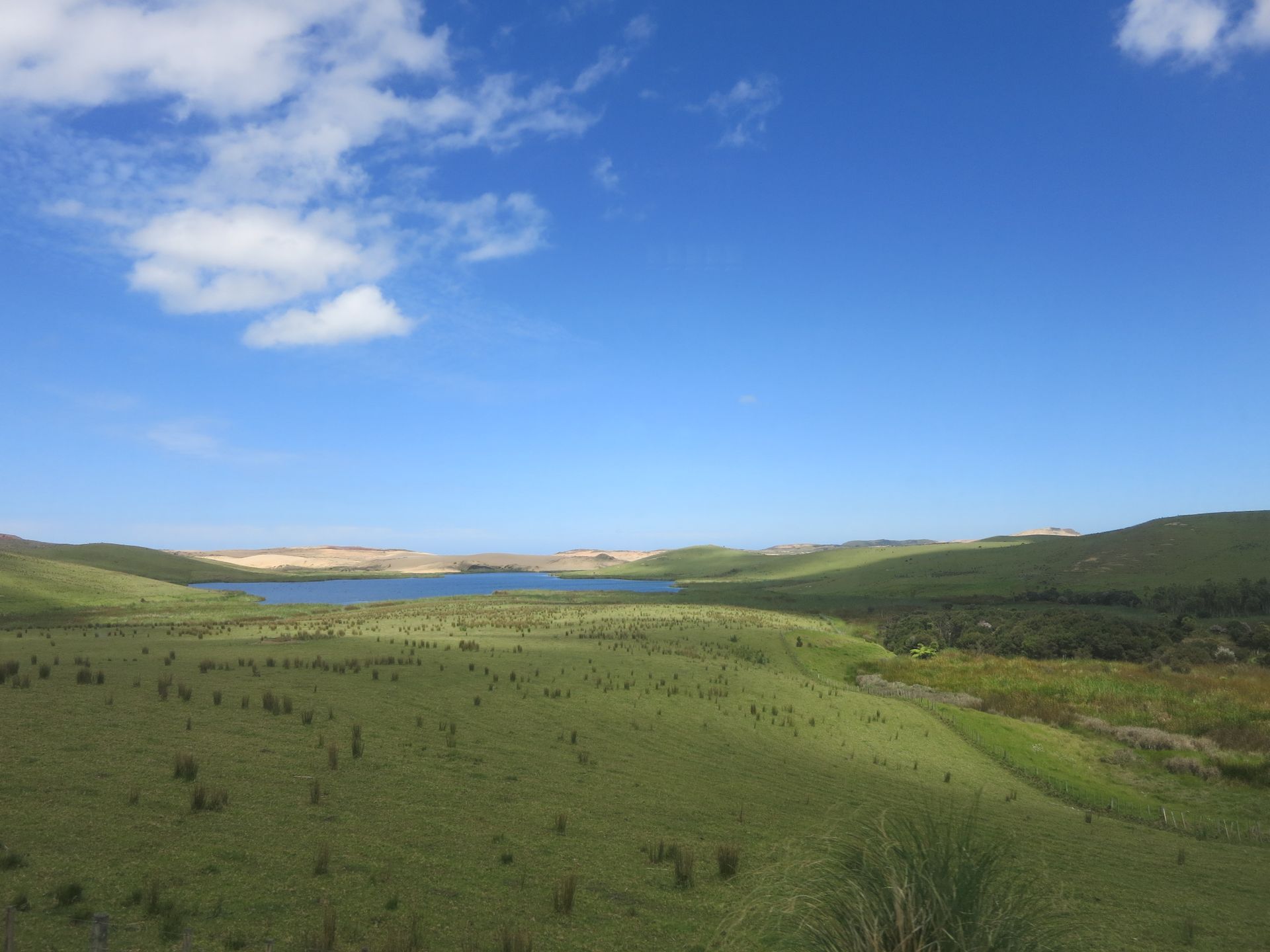
The sand was replaced by green meadows, small lakes, and rocky terrain. But all of this was overshadowed by minutes of rumbling coughs because Tim swallowed a grain of sand during the rapid dune descent. Drinking didn't help; it was only after eating a little something that the problem slowly resolved. Once calm was restored, we could enjoy the landscape again. Next stop: lunchtime. A sandwich was provided in a small bay. After the break, we continued to the cape. We stopped at a parking lot and had over an hour of free time. From the parking lot, switchbacks led down to the ocean, and after a few steps, we saw a lighthouse in the distance.
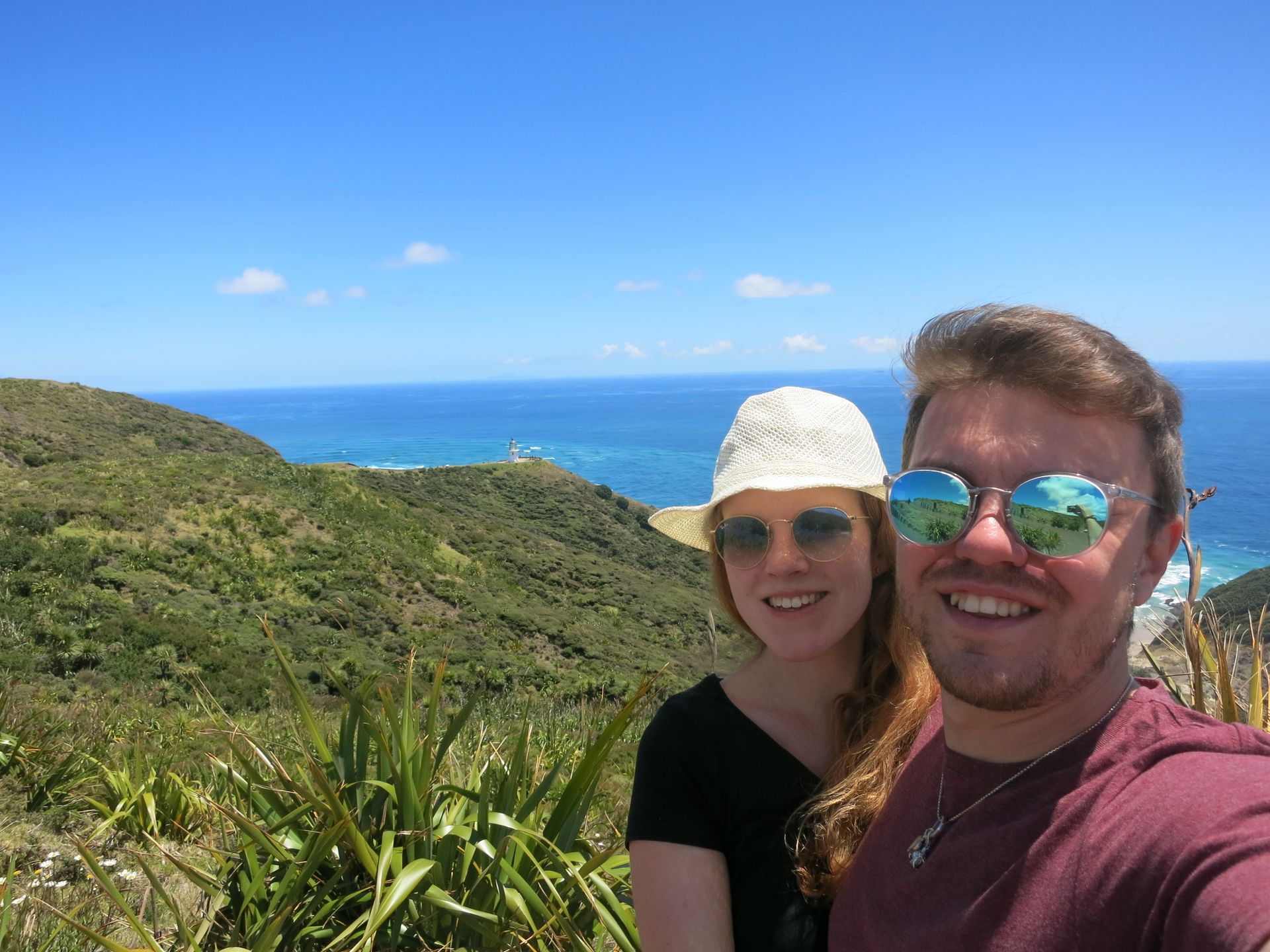
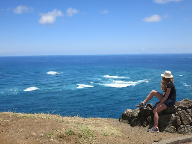
In beautiful sunshine, we were filled with anticipation - our goal was within reach. Arriving at the northernmost accessible point of New Zealand, called 'Te Rerenga Wairua' in the Maori language, we were truly impressed. The energy of this sacred place for the Maori was palpable to us. This was not because of the lighthouse or its distance indicator, but because of the visible power of the water. This is the place where both oceans, the Tasman Sea and Pacific Ocean, meet, and it's hard to believe that this can be seen with the naked eye. Directly in front of us, 'Te Nuku - o - Mourea' could be seen, two oceans, one male (Tasman Sea) and one female (Pacific Ocean), merging with each other and creating new life. You can imagine it roughly like this: a shallow area with several eddies and waves that come unpredictably from all directions and meet there. If you don't believe us, come and visit us, and we'll show you this place with its palpable energy.
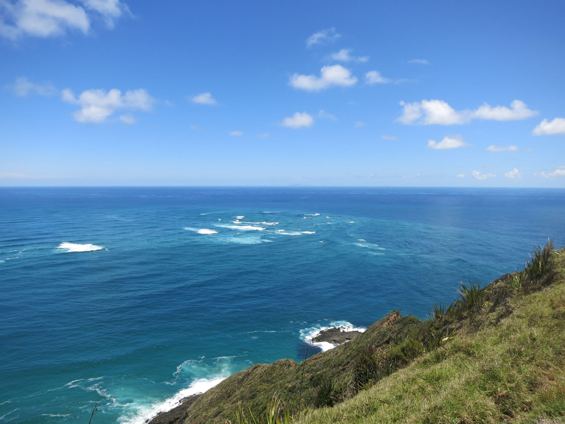
Caro was particularly impressed by the Maori history of Cape Reinga (Te Rerenga Wairua), which is considered the most spiritual place in New Zealand for the indigenous people. It is said that the souls of the deceased wander from Te Rerenga Wairua via Te Nuku - o - Mourea in search of the summit Ohau of the Three King Islands (Manawatawhi). From there, they look back at Aotearoa (New Zealand) one more time and embark on the final journey to the place of their ancestors, Hawaiki.
ނިއުސްލެޓަރ އަށް ސަބްސްކްރައިބް ކޮށްލައްވާ
ޖަވާބު
ދަތުރު ރިޕޯޓްތައް ނިއުޒީލެންޑެވެ
