
'Highwayitis' on the way south
Ishicilelwe: 03.09.2018


Bhalisela i-Newsletter
Exiting Dempster Highway, the fully automatic gas station that didn't work the first time. So we don't have to go back to Dawson City, but turn south on the Alaska Highway towards Whitehorse.
The Yukon was considered non-navigable above the 'Five Finger Rapids' for a long time. In order to bring fresh meat to the gold miners in Forty Mile and Dawson City, cattle were driven from Haines to the mines in Klondike on the Dalton Trail. When even large sternwheelers were able to handle this pivotal spot, it became possible to transport cattle (and of course everything else) from the port in Skagway on the Pacific Ocean to Whitehorse via the Yukon Route Railway over White Pass and Lake Bennett and then over the Yukon River.
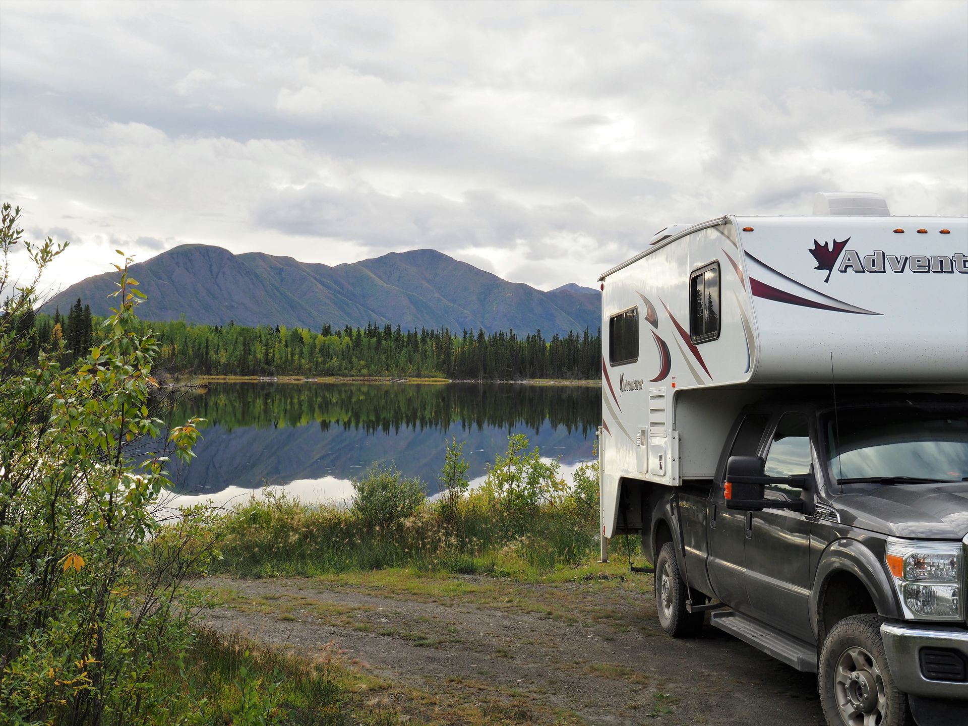
In Pelly Crossing, we make a fuel stop and use the high-pressure system opposite the gas station to remove the centimeter-thick dirt and mud crust from Verny. It was really bad, even the exterior compartments were full of dirt. Just the rear compartment took us an hour of effort, ugh. From now on, the compartment will be taped up before going on a dirt road!
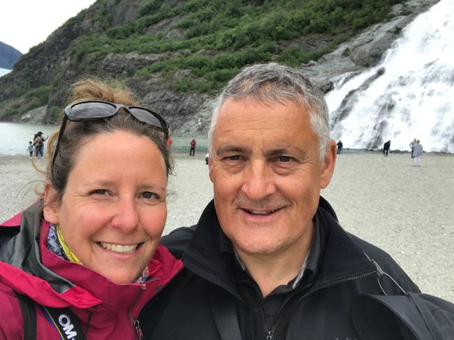
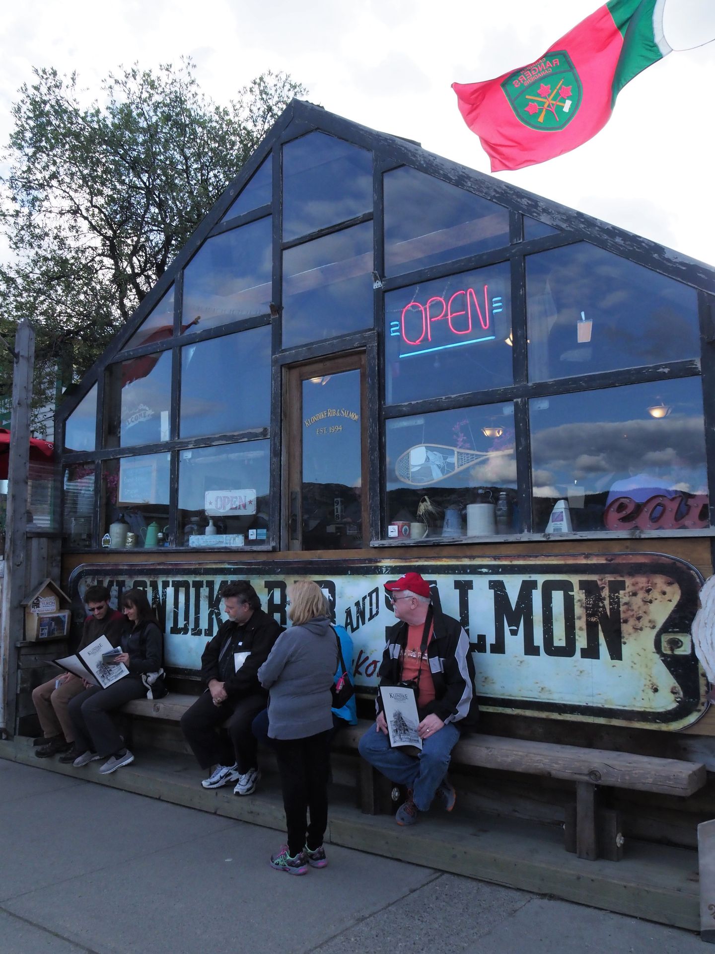
On the way south, we stop in Whitehorse and bathing in the Takhini Hot Springs is on the agenda. It's supposed to be healthy. Apparently, the pools fed by underground mineral springs are drained, cleaned, and refilled every 10-12 hours. squeaky clean, a bit healthier, with the usual light weariness from the spa, we go 'down-town' to replenish our supplies. Then we go to the Alpine Bakery to get a proper bread (not one of those flabby things). At 'Klondike Rib & Salmon', a local institution, we enjoy a really good dinner.
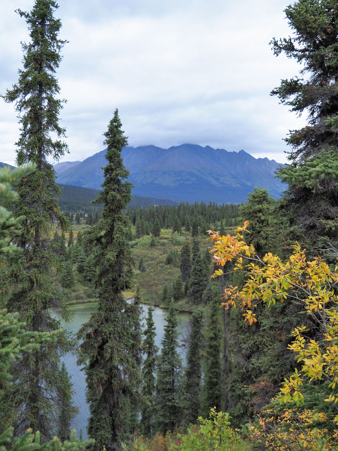
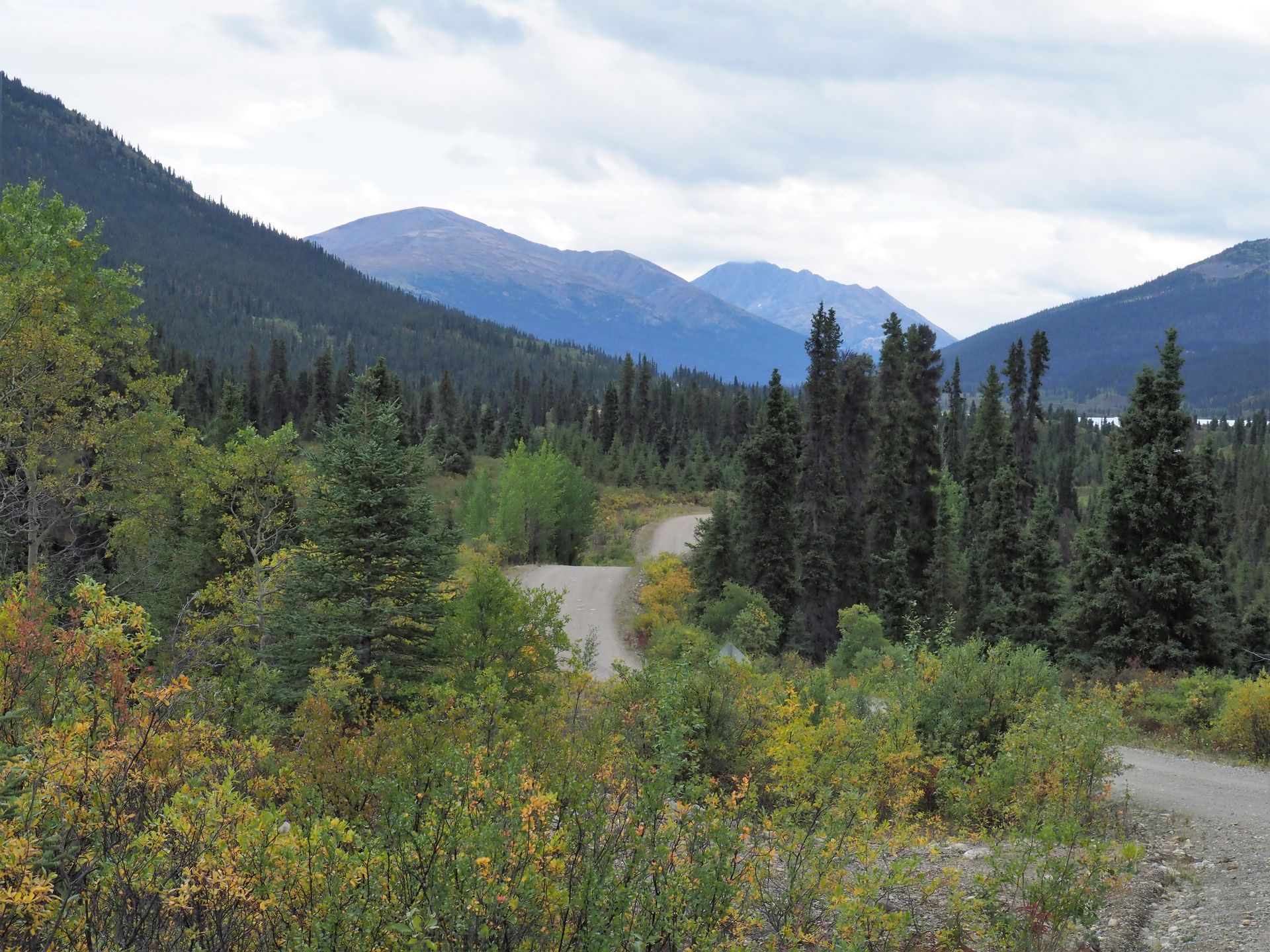
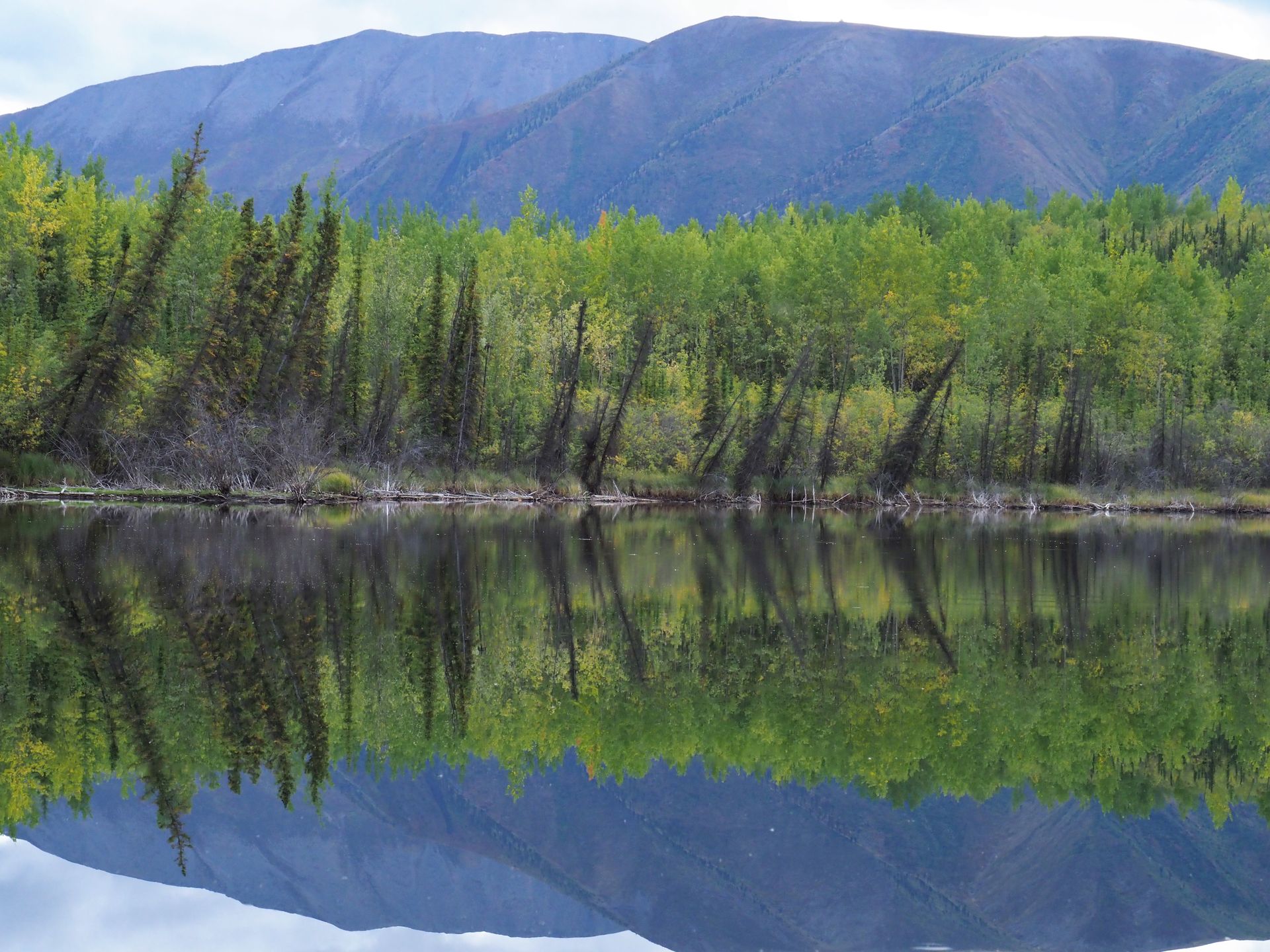
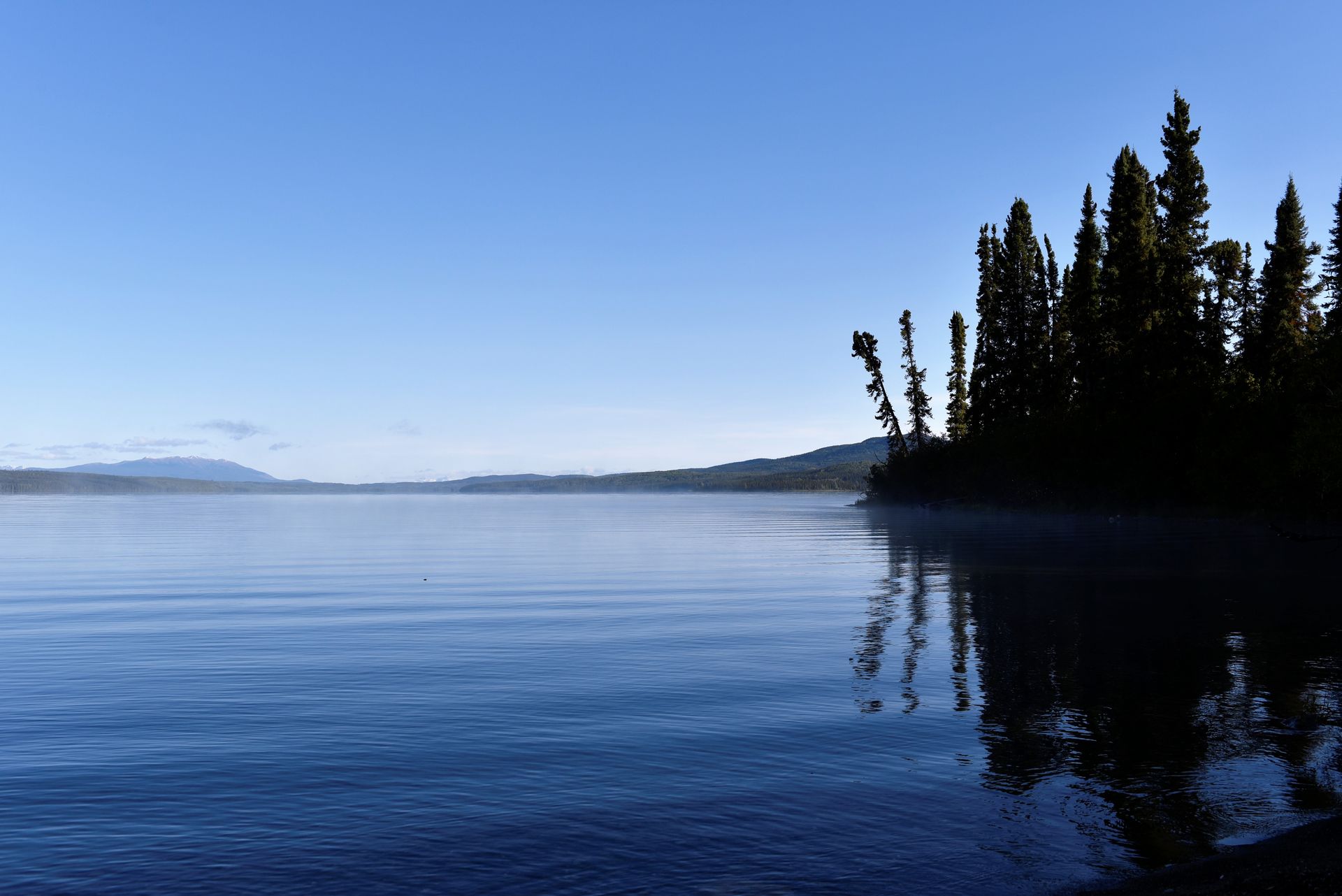
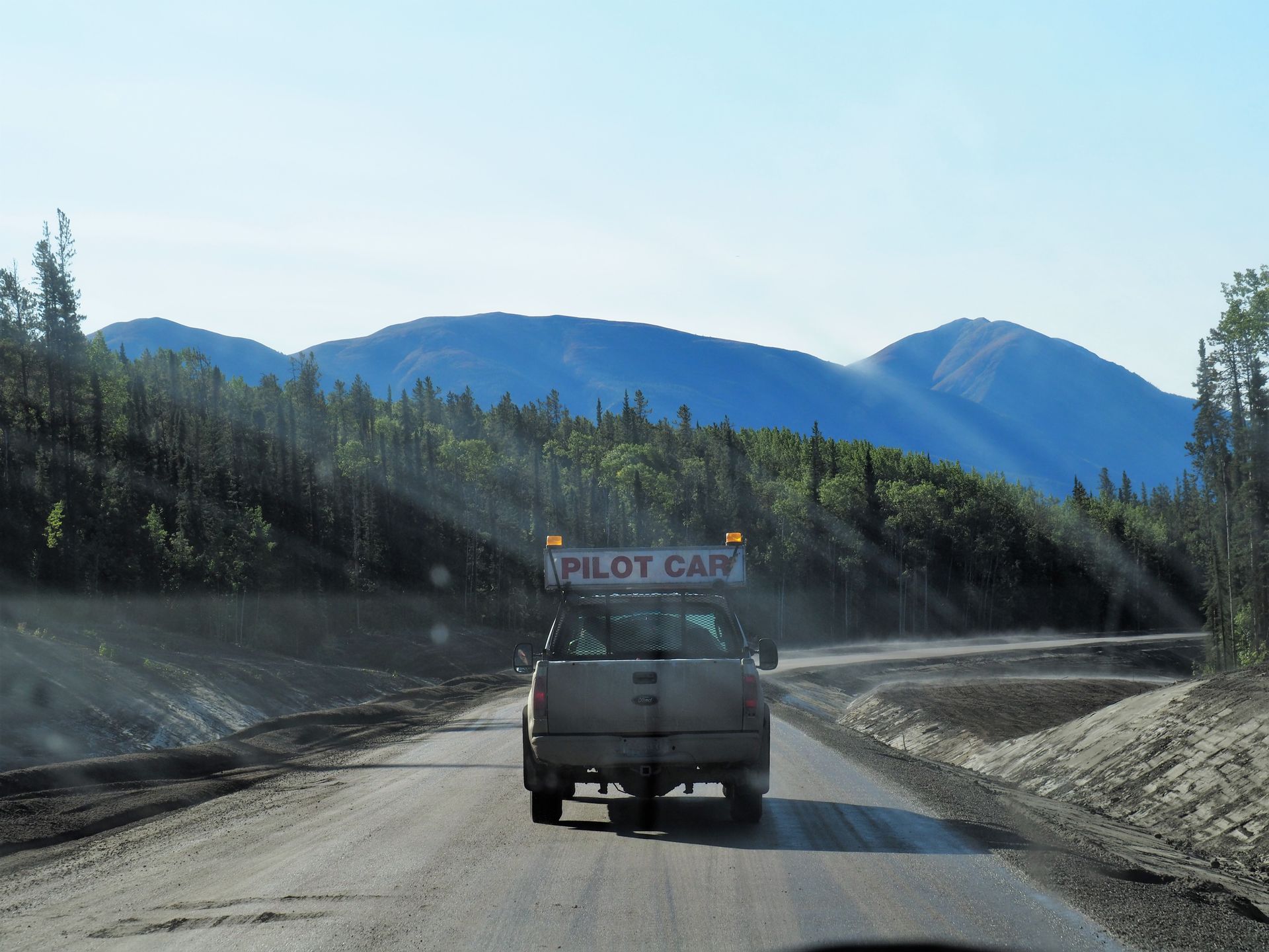
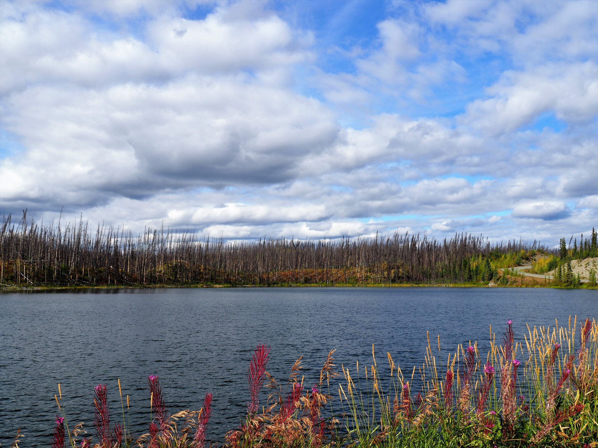
The next morning, we turn off the Alaska Hwy in Johnsons Crossing onto the South Canol Road. A little detour, as we want to drive the gravel road section of the Robert Campell Hwy from Ross River without having to go back from Whitehouse to Carmacks. 229km of narrow 'gravel roller coaster' with sometimes hairy curves, shoulders breaking off, and plenty of potholes. A little concentration exercise, the note that one drives the Canol Rd at one's own risk makes us smile. Shortly before Ross River, we pass a very beautiful, nameless lake. After the first few meters, we see a small path leading down to the shore. That's where we park Verny and enjoy the evening atmosphere on the glassy water. Then we have an 'Arctic Char' (otherwise known as Chef's style Arctic char) before we go to bed. After all, we don't want to miss the possible northern lights with clear skies. The conditions would be ideal, no artificial light and the reflection of the lights in the water of the lake. Unfortunately, nothing came of it. In the morning it is chilly, autumn is coming. We drive the first kilometers to Ross River, a First Nation community, in our jackets. After refueling, we tackle the 365km of the Campbell Highway. Surprisingly, the gravel road was in top condition. Few potholes and nice weather.
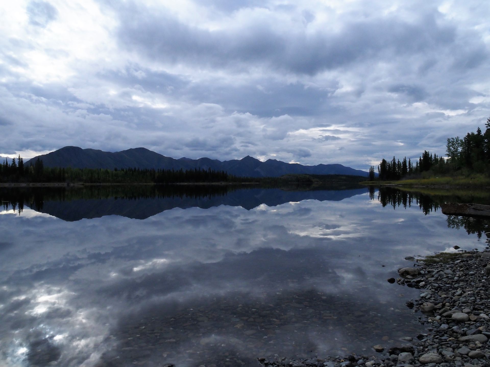
We spend the night at the state-run Simpson Lake Campground about 80km before Watson Lake. We immediately liked the place. We enjoy an aperitif on the pontoon at the lake. A bald eagle and owls, which we only hear, enrich the tableau in front of us. The person responsible for about 350km of highway and 9 campgrounds speaks to us because we haven't attached the section for the campground license to the post. An interesting person, he is looking forward to October when he finishes work for this year and gets back 'into nature'. He talks about setting traps for 17 years, about moose hunting and snowshoe treks where he marched between 50 and 100 km per week through the tundra at temperatures of up to minus 50 °C. The idea of marching through the Pampa at -50° and fighting rapidly dropping temperatures, we combat with a sockeye and mashed potatoes with horseradish.
In the morning it is frosty, the tables, the bear-proof trash cans, and the pontoon have a layer of ice, the water in the lake steams in the morning sun.
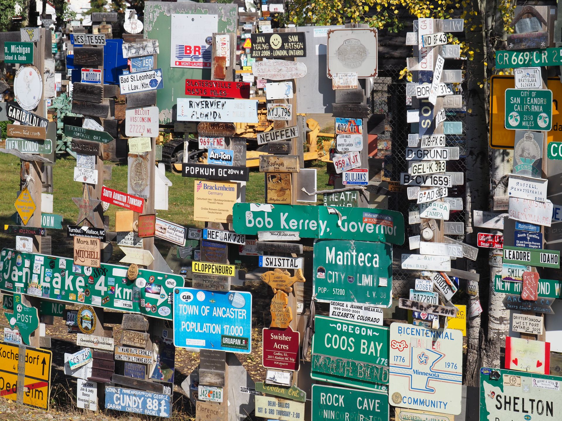
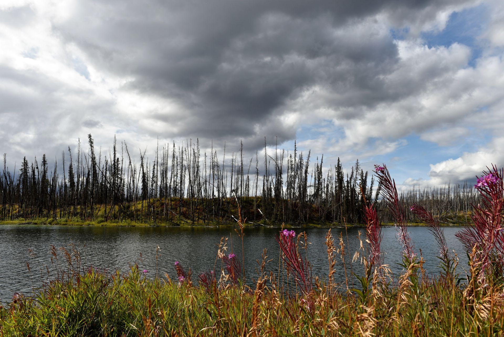
We drive the last kilometers to Watson Lake to visit the famous Signpost Forest (Nina's absolute must). Between KM 154 and KM 149, we see and smell several smoking sections in the forest along the highway. The ladies at the reception of the Watson Lake Visitor Center are very nice, confirm that the alert for the smoldering fires has been published and inform us about the forest fire situation in British Columbia. It seems that we can expect problems around Prince George and Smithers. At the moment, the highway is open, but there may be impairment due to smoke.
Refueling, rinsing Verny's dirt crust again, finishing a small lunch, and off we go on the Cassiar Highway (Highway #37), 724km mostly paved.
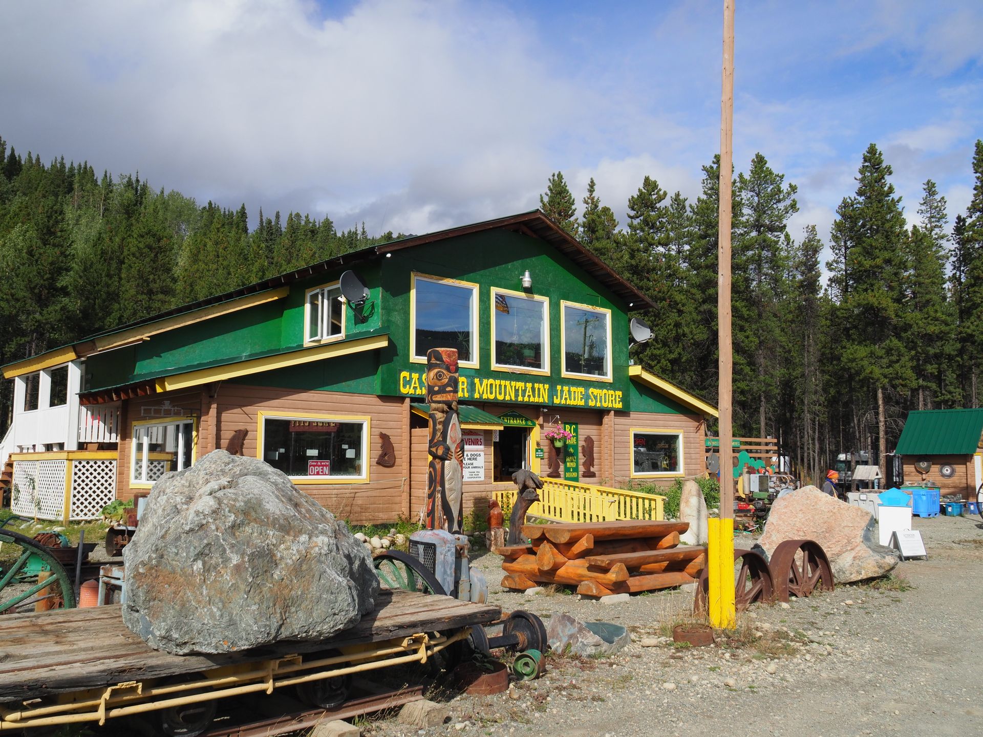
We make a short stop in the 'world-famous' Jade City. Well, sometimes it looks more like granite from Bergell.
After spending the night with a camp host who is difficult to understand and grumpy, we drive to Stewart (CAN) / Hyder (USA) to see bears at Fish Creek if we're lucky.
Stay tuned and cheers for now.
Bhalisela i-Newsletter
Phendula (1)
Silvia
spannend spannend!!! Bericht und Bilder !!!!!!! einfach so guet Euch über die Elektronik auf der fantastischen Reise zu begleiten. Danke!
Imibiko yokuvakasha Canada