Day 11 *16.07.2023
已发表: 17.07.2023

订阅时事通讯
For me, today is a sad day because we are leaving the Lofoten Islands and heading back to the mainland. Therefore, our plan was to quickly get to the ferry port to catch one of the first ferries. We had 3 options: either from Moskenes to Bodo, from Kabelvag to sk, or the one we selected, from Lodingen to Bognes. On the way to the ferry, we wanted to grab something to eat at a snack bar, so we started without breakfast. However, our plan to eat something along the way didn't work out because we completely forgot that it's Sunday 😆🙈
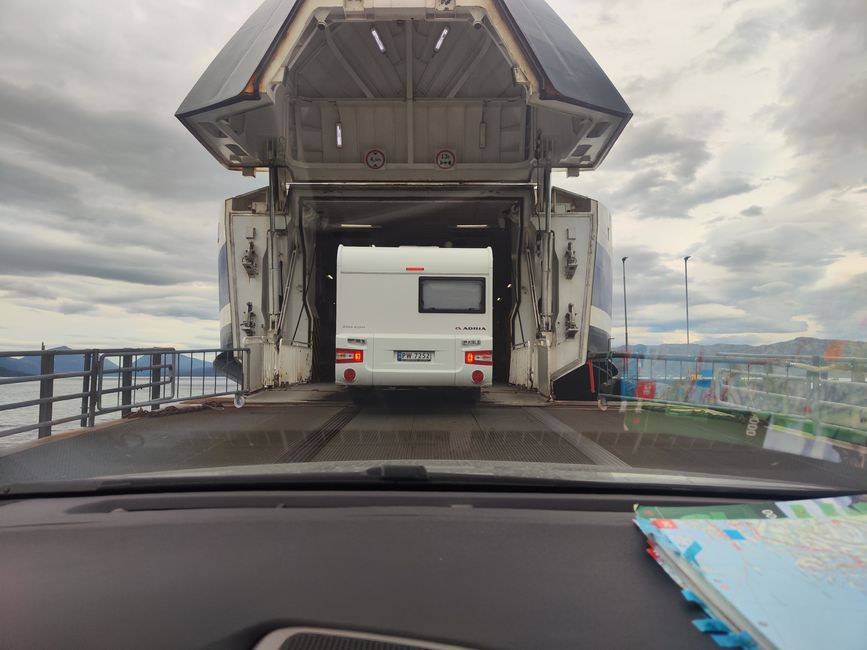
So we only got something to eat at the ferry port in Lodingen. There was a snack bar at a gas station. At first, I just wanted to get some warm sausages, but then I thought a proper meal would be good too, considering it was already noon and we had until 13:15. I placed my order... And this young guy was so speedy that the food was ready by 12:50 😒😮💨 and we're talking about fries, chicken wings and nuggets, etc. with salad... So I rushed out around 12 and had to run to the car because the ferry was already there and cars were being let out one by one... So I ended up eating on the ferry... Then I realized that my 2 Cokes were not included... Annoying!
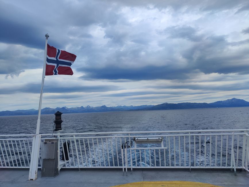
On the ferry, I got annoyed again. It was really nice, equipped with a good kitchen and had a great selection of food, etc. Unfortunately, you never know in advance which ferry to expect. The previous one from Gryllefjord to Andenes only had drinks to offer... Well, nothing we can do about it...
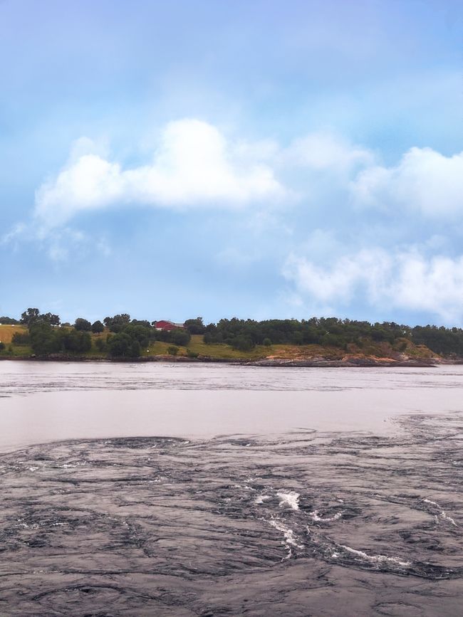
The weather didn't look good either... It was raining on and off... So we decided to drive a good distance as we were already 2 days behind in our plan. But I had planned a buffer of 5 days at the end, so it's not a big deal... The destination was: Saltstraumen... The Saltstraumen, located 30 km southeast of the city of Bodø in Norway, is the strongest tidal current in the world. Its name derives from Salten, the region in which it is located. Straumen comes from the Old Norse word straumr, meaning "current, stream". Almost 400 million cubic meters of water flow back and forth between the Saltfjord by the sea and the Skjerstadfjord inland (also known as the "Inner Saltfjord") through a 2.5-kilometer long and approximately 150-meter wide sound. The sound is located between the island of Straumøy to the south and the Knaplundsoya peninsula to the north. The water flow through the Sundstraumen between Straumøya and the mainland is small due to shallow water. The water flow through the Godøystraumen between Knaplundsøya and the mainland is even smaller. (Wikipedia)
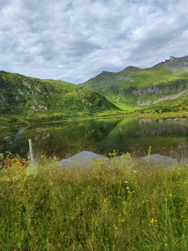
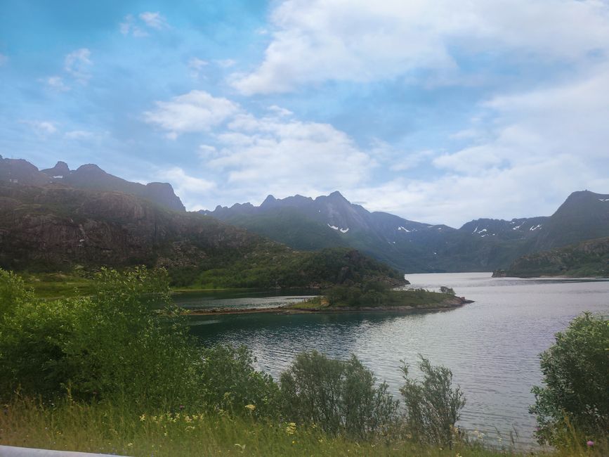
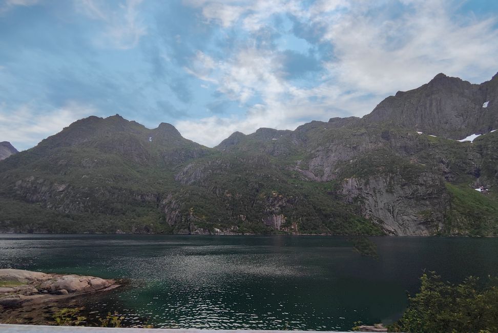
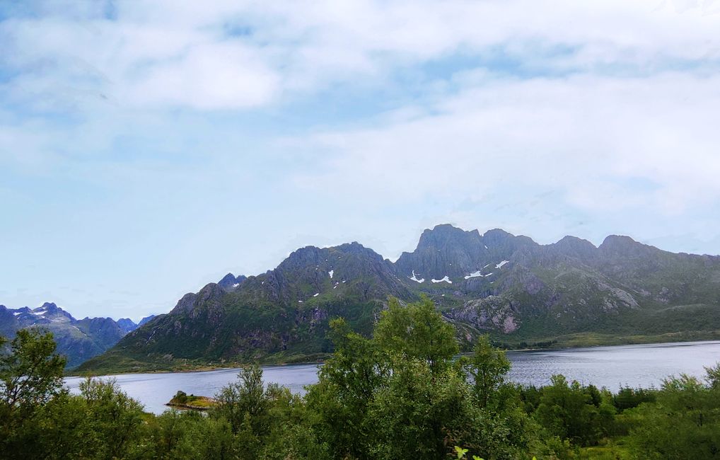
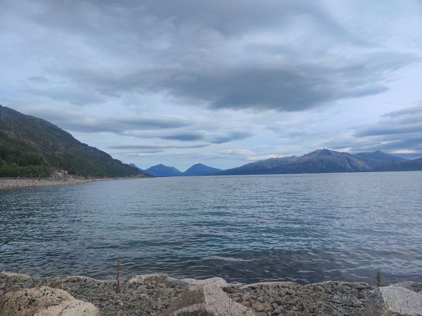
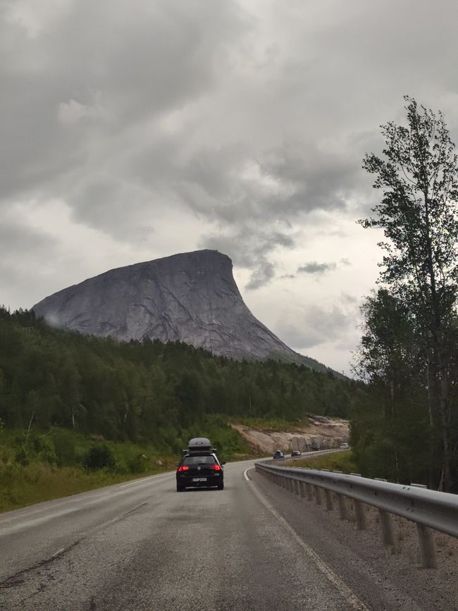
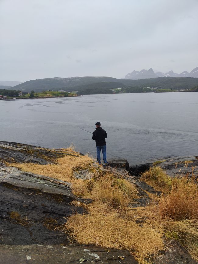
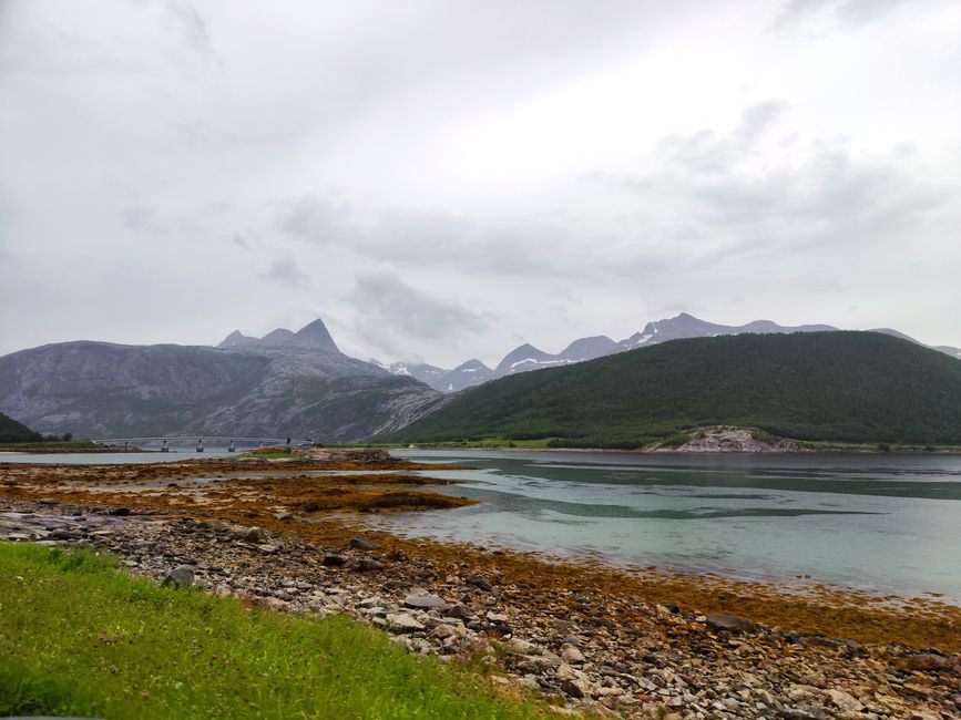
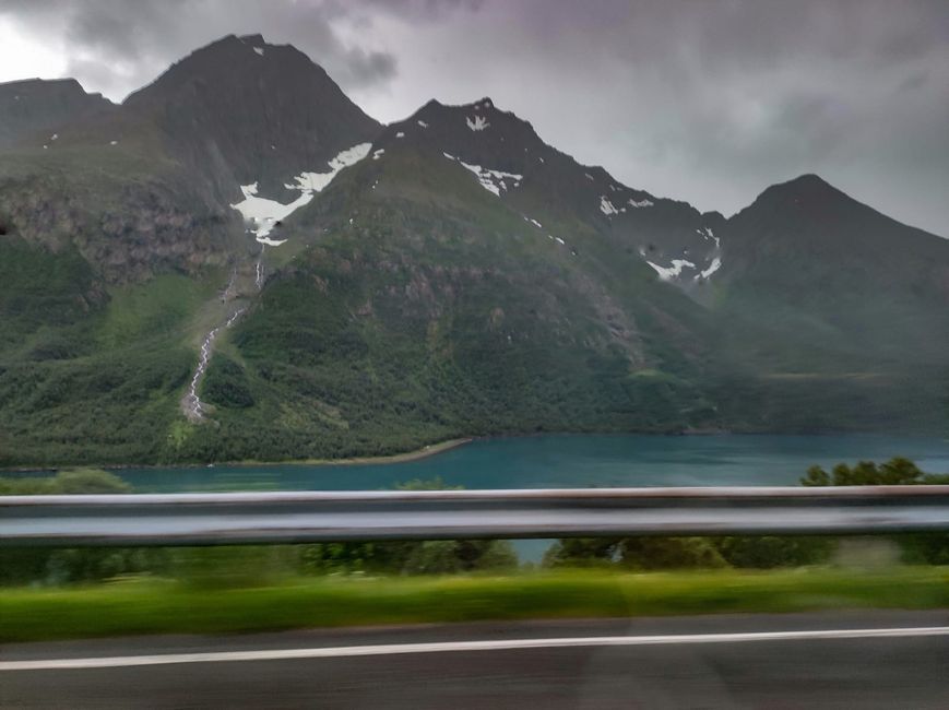
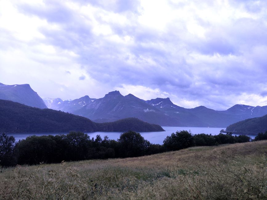
Unfortunately, it was almost raining continuously during the drive, so the view wasn't that great, and there are many trees on both sides of the road, so you can only catch a glimpse of the beautiful surrounding landscape, it's hard to believe and take photos 😕 (not my day😉)
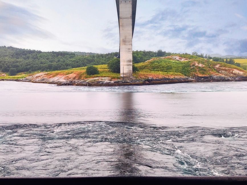
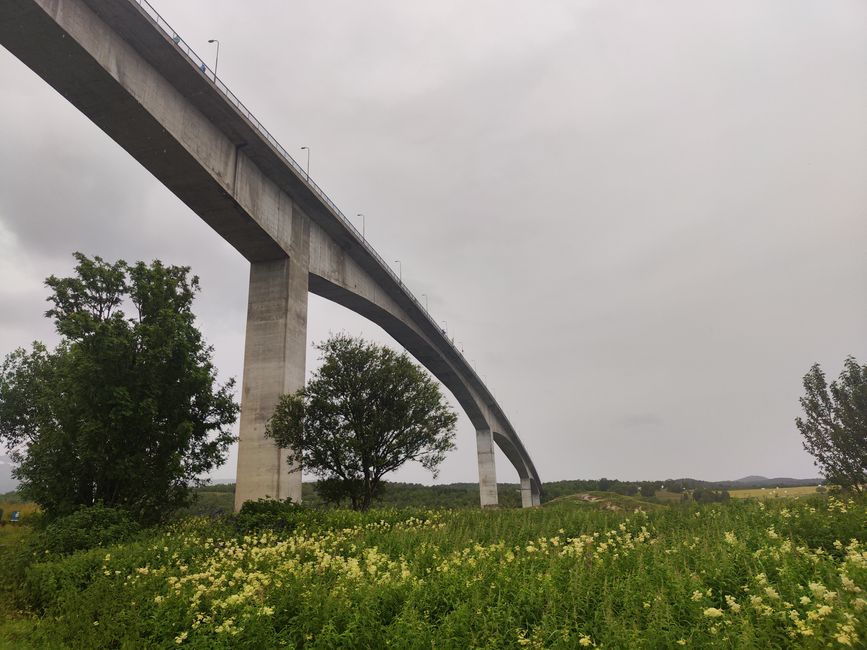
When we arrived at Saltstraumen, it was drizzling more or less, sometimes not at all... But it was convenient to arrive at 6 pm because the strongest current was happening then... Quite impressive, and it shows the power water can have. The current reaches speeds of up to 40 km/h, and massive whirlpools form at its edges. They can have a diameter of up to ten meters and reach more than four meters deep. Only during the tide reversal is there a short period of calmness, at the high and low point of the Skjerstadfjord. Due to tidal choking, the tidal range in the Skjerstadfjord is smaller compared to the Saltfjord and is delayed by 1 hour and 41 minutes, including the timing of the tide reversal. The coastal road Fv17 crosses the current on a bridge and offers impressive views.
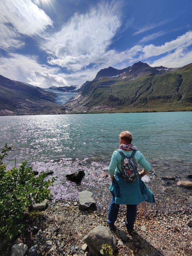
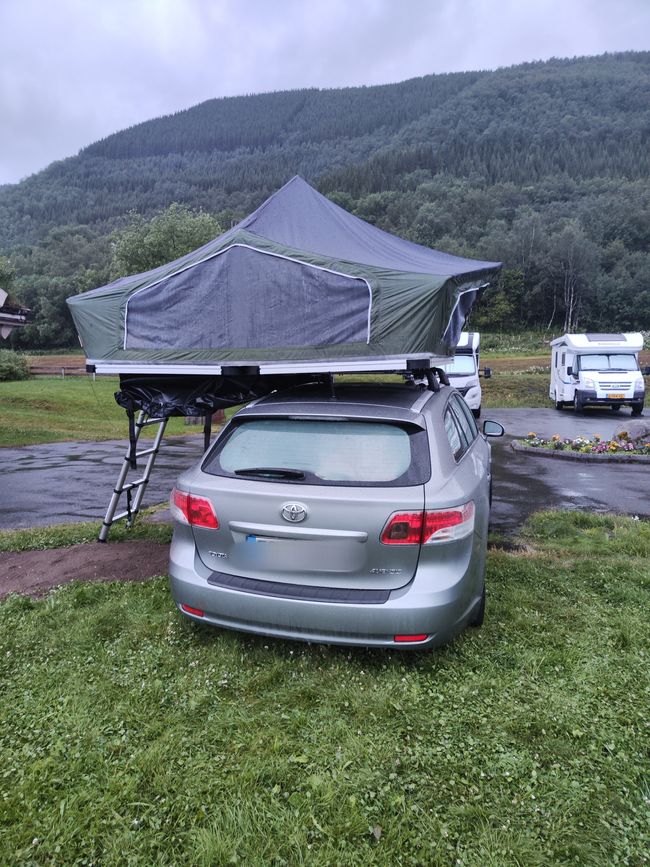
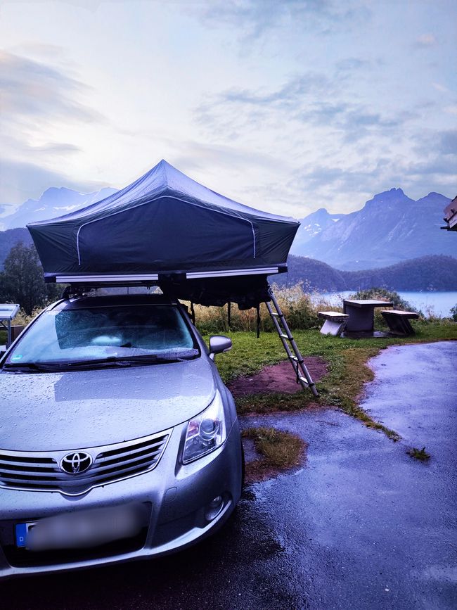
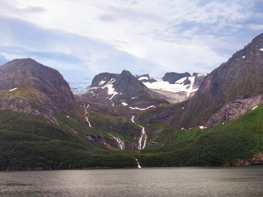
Then there was still about a 2-hour drive ahead towards Glomfjord, near Svartisen. Svartisen (Norwegian for "the black ice") is the second largest glacier in Norway with an area of 370 km². It is located in the province (Fylke) of Nordland, just above the Arctic Circle in the Saltfjellet-Svartisen National Park northwest of the city of Mo i Rana. It has a total of 60 glacier arms. The valley Vesterdalen lies between the two main glaciers, Østisen (148 km²) and Vestisen (221 km²). We planned to head to a campsite nearby, but our dear neighbors (who helped me a lot with route planning because they were here in 2022) recommended a parking lot very close to the boat dock where the hike to the glacier starts. We found the parking lot, it's nicely done, there's also a toilet on site, so we set up our tent right by the glacier lake (in the rain).
订阅时事通讯
回答
旅行报告挪威

