Neuseeland/Südinsel & Australien/Victoria
vakantio.de/neuseeland_suedinsel_und_victoria
30.12.18 from Ski Resort Methven to Lyttelton and New Brighton
已发表: 22.07.2019


订阅时事通讯
Sunday 30.12.18
Somehow the alarm clock rings at 7.30 am, although I consciously didn't set it. Never mind. It's stormy outside, I woke up several times during the night because the camper was shaking like a lamb's tail.
I have the showers and toilets all to myself. I have breakfast in the sun with wind at the camping table next to my vehicle and immediately get a visit from the cute cat, who also likes to inspect my camper from the inside. When she can't inherit anything, she leaves offended. I wash the dishes, write the first 5 postcards after 12 days, and leisurely roll off the campground at 10.30 am, refuel in Methven, and now (3 days before departure to Australia) buy a road map. Actually, I would have liked to buy one only from the North Island, because I have already decided to make the next trip there and, in general, that there should be a fourth trip to New Zealand. But there is only one complete New Zealand road map, but it will also help with planning.
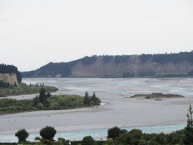
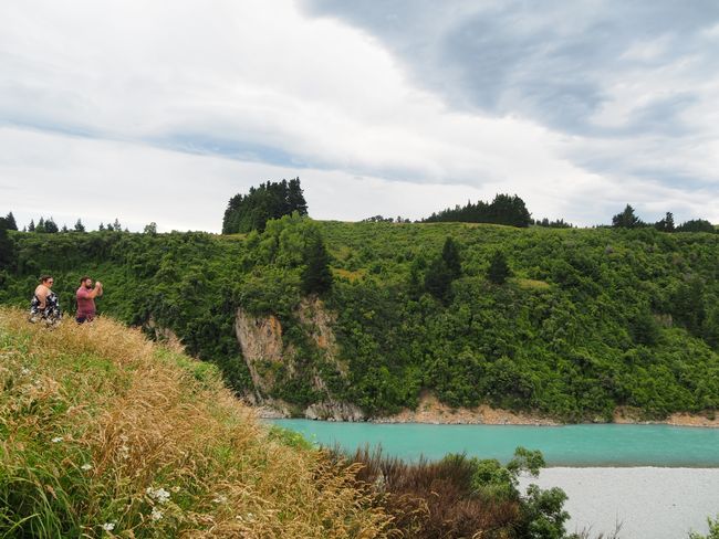
I follow SH77 eastward and soon reach Rakaia Gorge. It's cloudy and I almost fly away when I get out of the camper. However, I can't find a real parking space and continue driving. I have to hold the steering wheel tightly with both hands because the camper is incredibly difficult to keep in line in the wind due to its height.
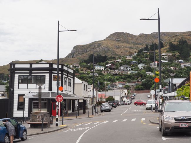
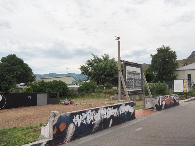
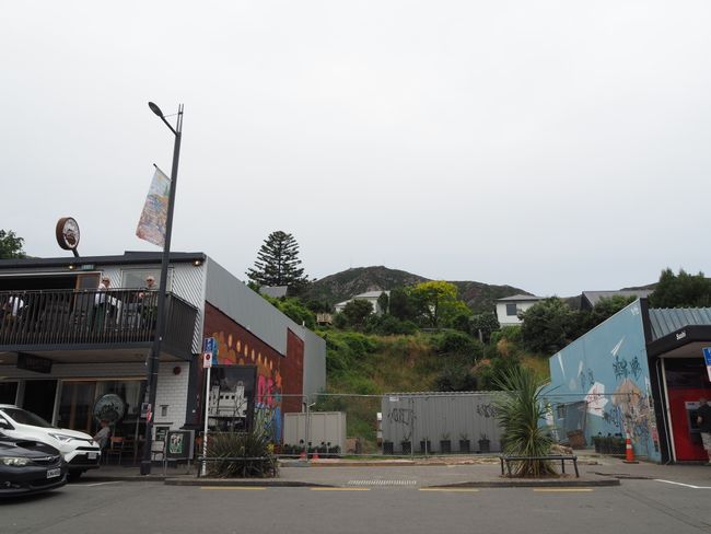
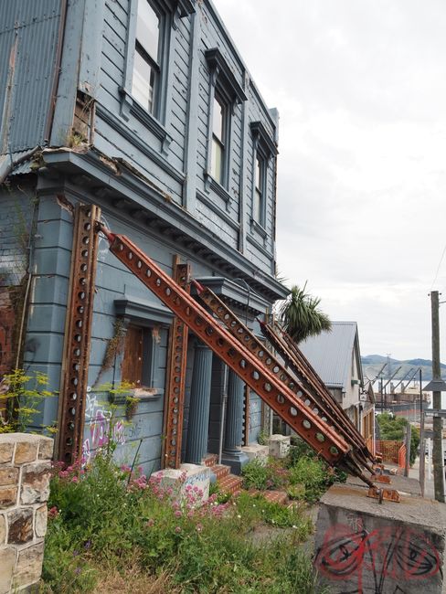
I follow SH72 towards Christchurch and turn off to Lyttelton after the city center. A small town clinging to steep hills. Here, in 2011, during the second earthquake in February, the epicenter was nearby. The force of the earthquake was so strong that it could even be felt on the hundreds of kilometers away North Island. At the Mount Cook massif - about 300km away from here as the crow flies - a huge block of ice broke off from a glacier at that time and rushed into Lake Tasman, causing a tsunami-like flood wave. It reminds me of the events at Mt. St. Helens in Washington State, where the shattered rocks crashed into a mountain lake and triggered a 75m high flood wave. Here, in Lyttelton and of course in Christchurch, incredible damage has occurred and there are also many gaps between the houses where there used to be residential buildings, shops, and offices.
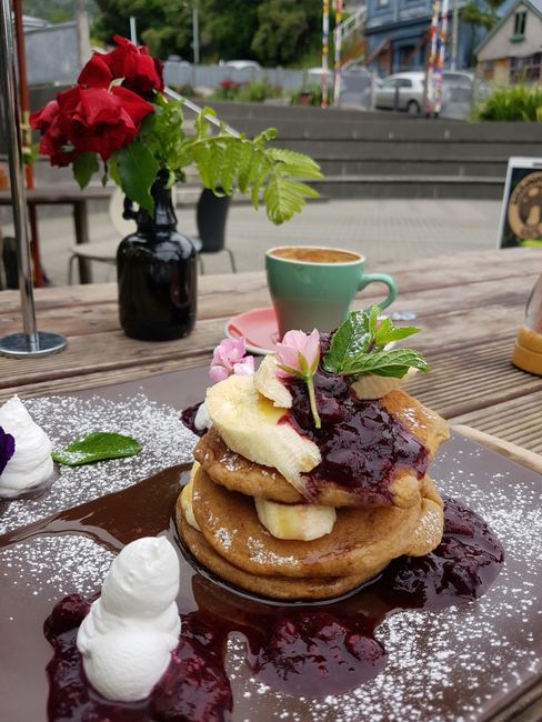
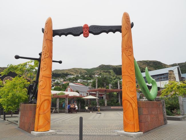
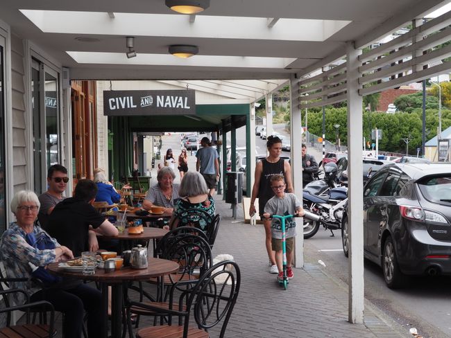
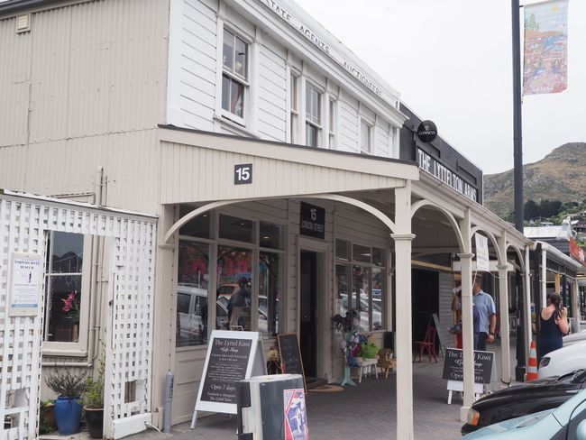
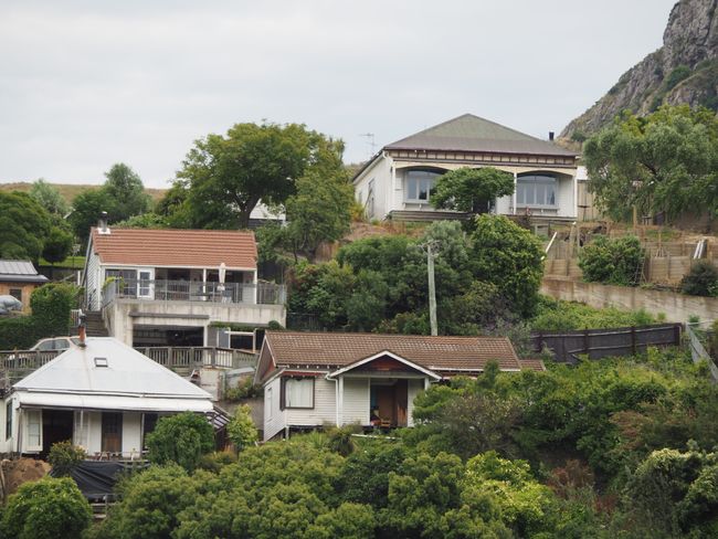
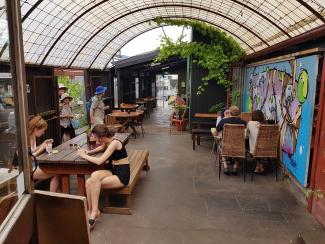
Today, houses are still supported, and photos can be seen in front of some vacant areas. I walk up and down the main street. There isn't much going on - but it's actually a pretty little town, especially because of its great location. If you have a house here on the slope, you may live dangerously, but most of the time you have a great view of the bay. Lyttelton is also a cruise port - that's what interested me, where you arrive. I sit down for lunch in a café at Albion Square and enjoy pancakes & coffee. Since the road around the headland is apparently impassable, I have to go back through the tunnel, but after 20 minutes I am at my campground in New Brighton by the sea.
The campground is quite large and full. The pitch initially assigned to me is not accessible with the camper, and when I want to inspect it on foot, there is a car parked there and people grilling... So back to the reception, I get another pitch right next to the house with kitchen, toilet, and showers.
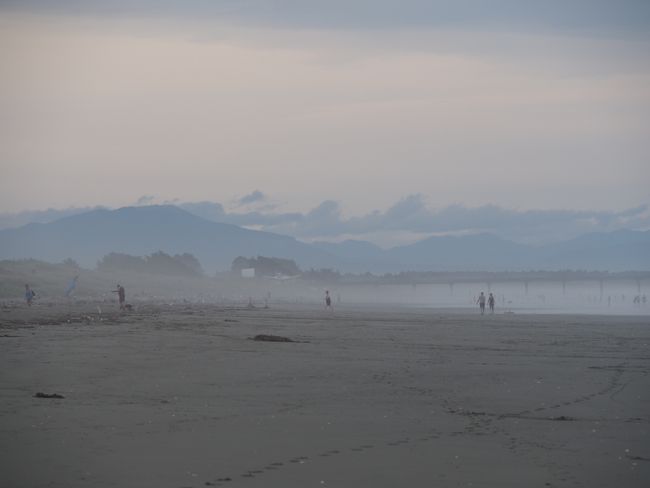
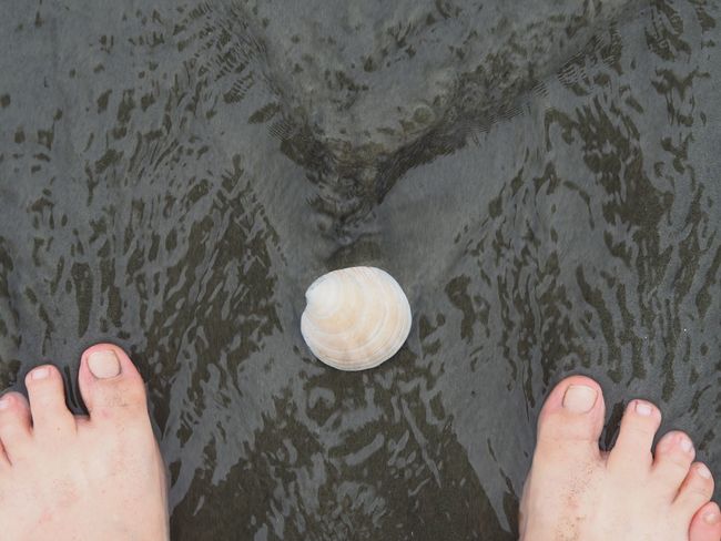
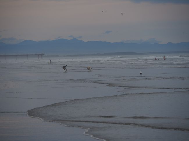
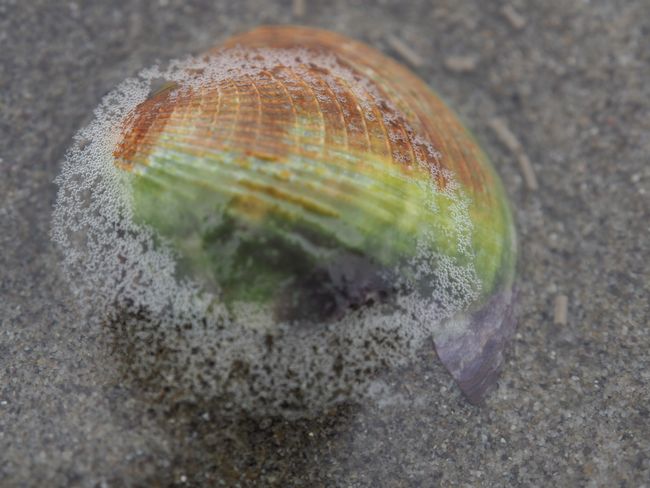
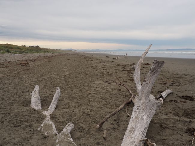
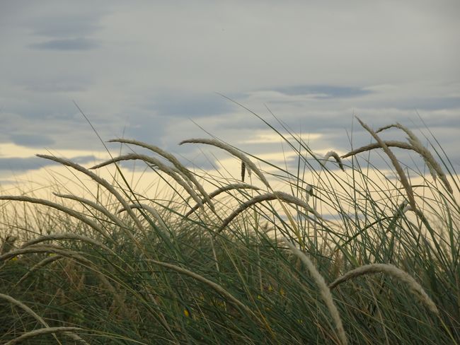
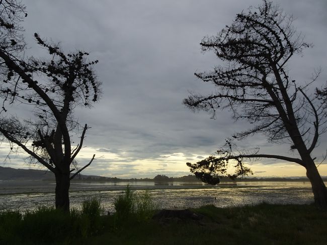
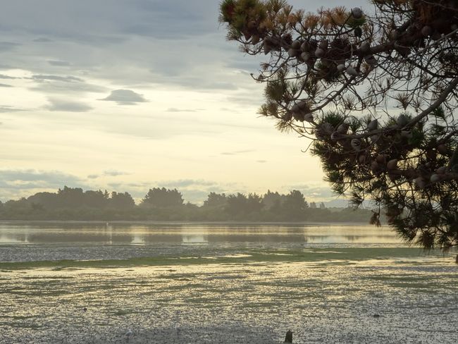
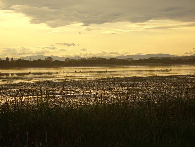
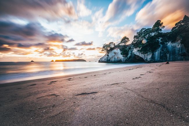
Now it's time to move. I walk to the beach, which is only about 300m away. A huge bay with a wide beach stretches out in front of me - and it's practically empty. It's a pity that it's cloudy. I walk along the water for two hours, sit on a dune towards the end, and simply enjoy the time. Back at the campground, I discover a bird sanctuary behind it, called Estuary. A lagoon with gnarled trees, many water birds, and a beautiful sunset. Unfortunately, it's low tide and the impression is rather muddy.
In front of my camper, I try to ignore the noise from the tent dwellers eating together, who are sitting 15m next to my camper in front of the camp kitchen at long tables and talking loudly - mostly in German. Writing a diary, transferring pictures to the tablet, and then escaping from the mosquitoes. Oh dear, soon I have to leave NZ...
订阅时事通讯
回答
旅行报告新西兰
