Abel Tasman National Park, Pancake Rocks, and Arthur's Pass
Atejade: 10.03.2019


Alabapin si iwe iroyin
From the green wine region of Marlborough, it is not far to Abel Tasman National Park. On the way, we stop in Nelson for a coffee and a short break. Lisa recommended the Old McDonald's campsite in Marahau, so we head straight there. Our plan was to start our day hike in Abel Tasman National Park the next day. Unfortunately, the weather doesn't cooperate. It's raining cats and dogs all day! Since it seems to be the first rain since Christmas, we accept it gracefully, as New Zealand's forests and meadows are in desperate need of the cool water. There is already a high risk of forest fires almost everywhere, and the lush green pastures have long faded before our arrival. So we are forced to relax and finally have time to sort and back up our thousands of pictures.
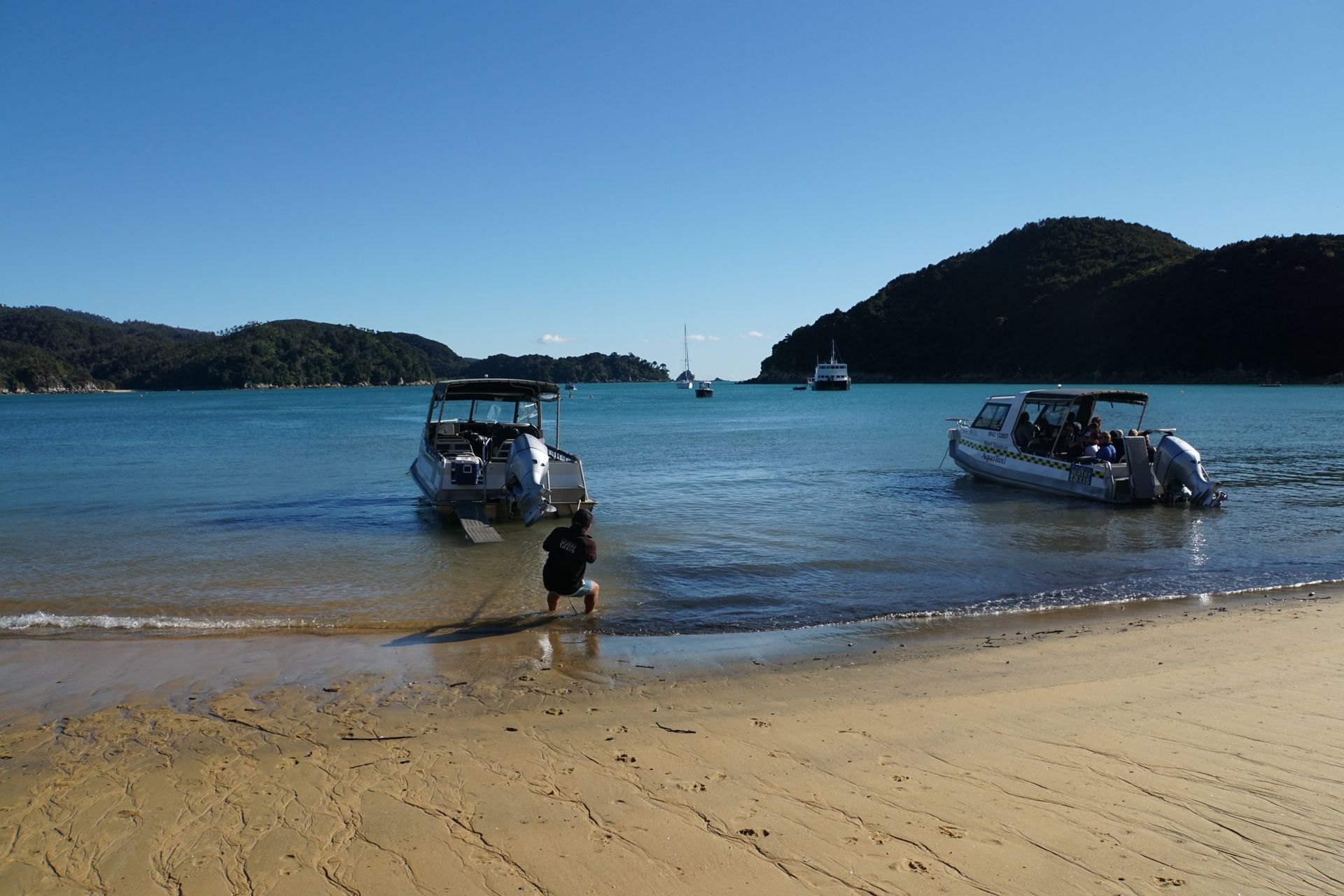
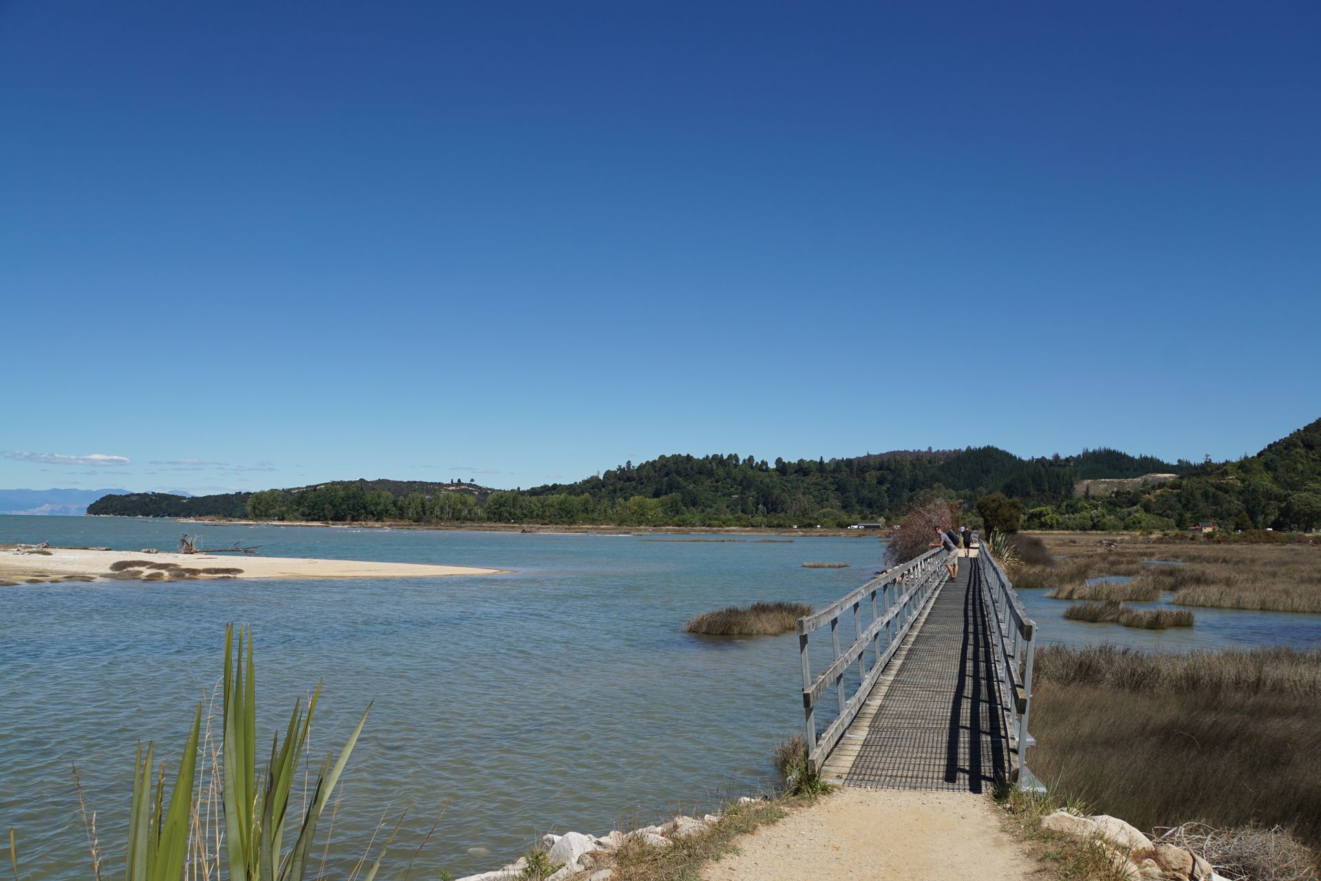
The next day, the blue sky acts as if nothing happened. The sun wakes us up early in the morning, and we set off happily towards our water taxi. This mode of transport is a special feature of the national park, which covers a large area of 225km² on the northern coast of the South Island between the Golden Bay and Tasman Bay. With its dark green forests, turquoise bays, and golden beaches, the national park attracts visitors. By the way, the national park is named after the first European who saw New Zealand. Dutch captain Abel Tasman anchored here in 1642 but was unable to leave the boat. The local Māori people were very hostile towards the newcomers and killed the sailors who tried to make contact with them. As a result, the Dutch retreated from the Golden Bay and sailed north.
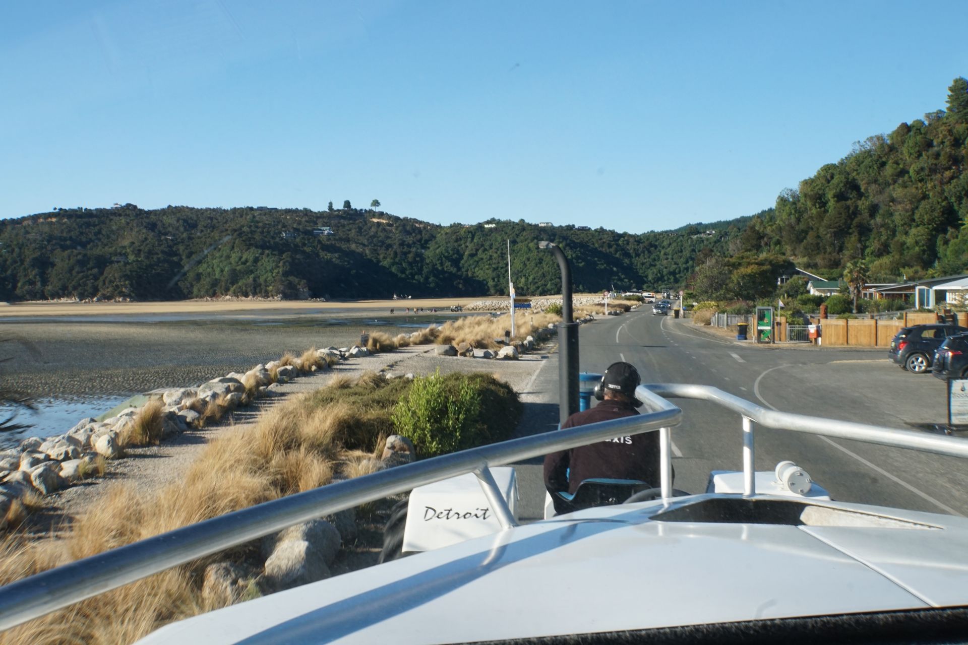
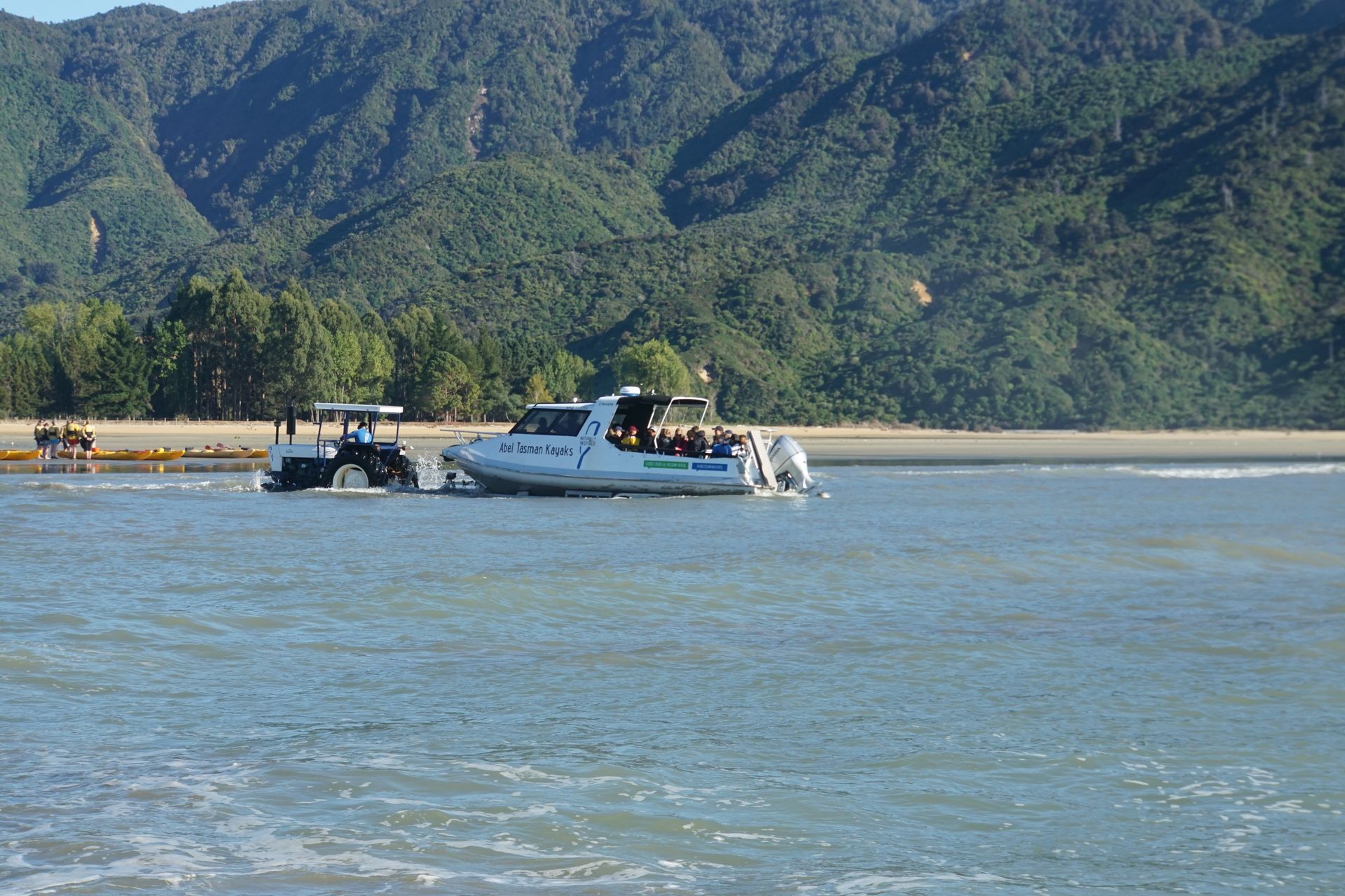
Our boats are driven onto the beach and launched into the water by tractor. When we ask why not just build a jetty from which all the tourists can board the boats, we learn that the tides are particularly strong on this stretch of coast. The water level varies by up to 5m between low and high tide. A jetty would be impractical, so tractors that are made waterproof for both water and beach provide the greatest flexibility. And so we are already sitting in the boat on the trailer of a tractor, driving through Marahau and being launched into the water. An experience in itself.
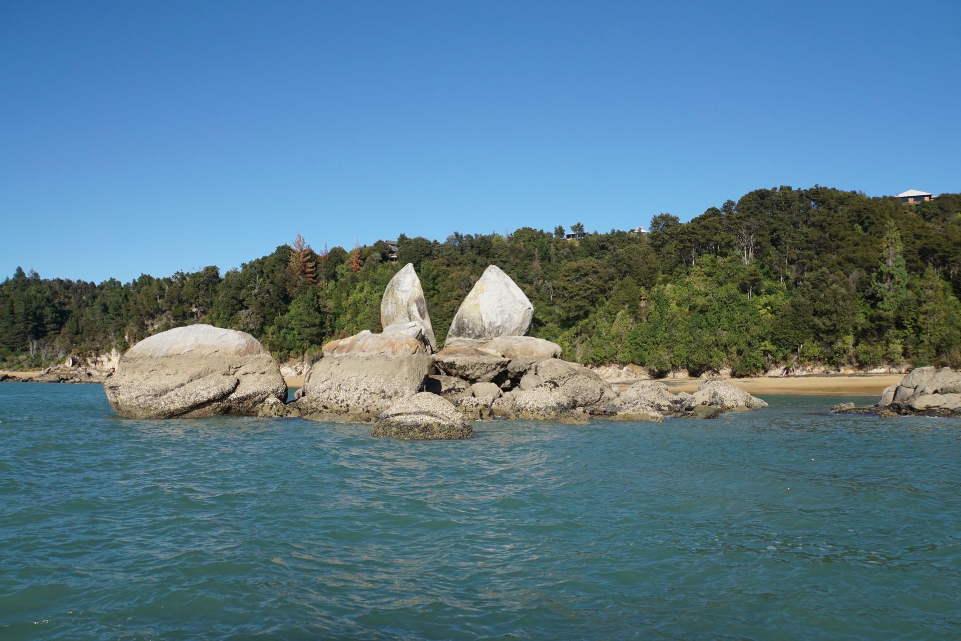
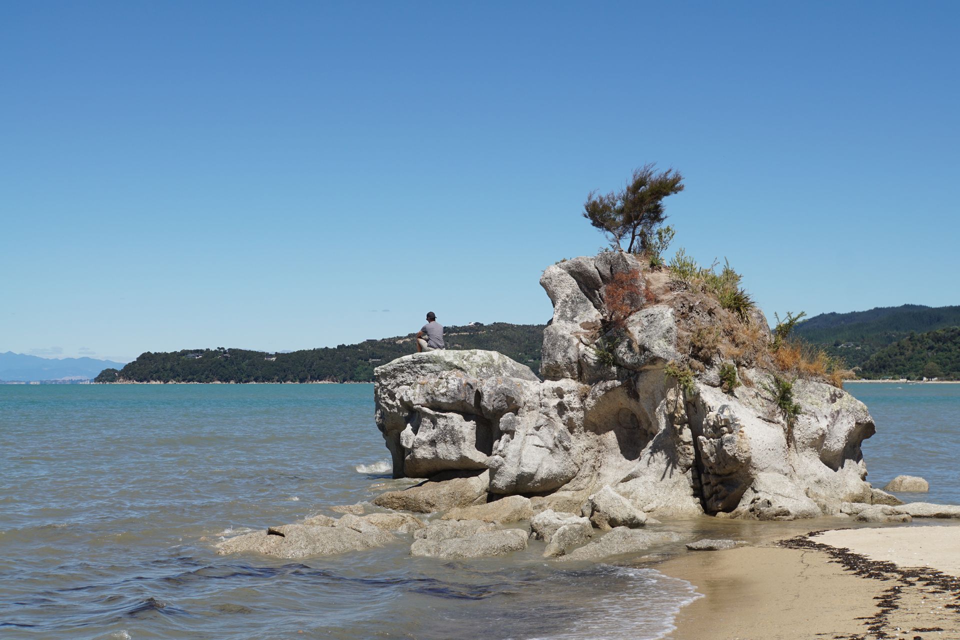
Our water taxi is now supposed to take us to Anchorage Bay, from where we will hike back to our campsite. But first, we stop at a natural sculpture, the Tokangawhā or Split Apple Rock. Indeed, this round rock looks like an apple cut in half from one side. Our captain believes an avocado is a closer comparison, but apples are grown in Manahau after all.
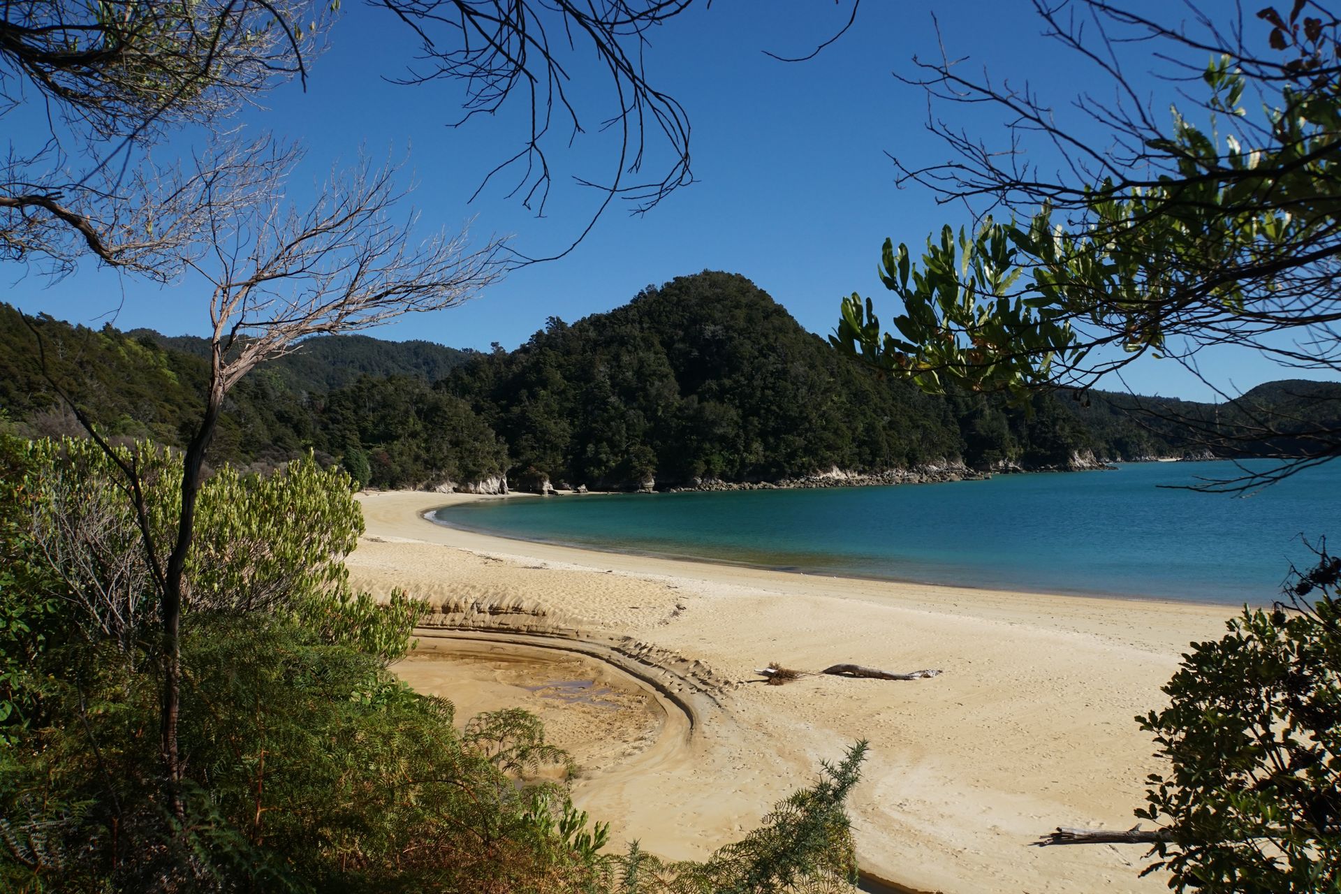
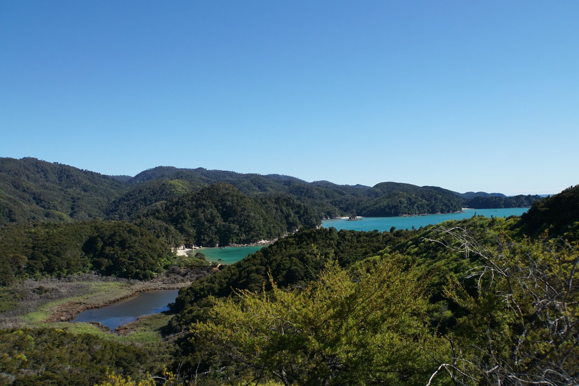
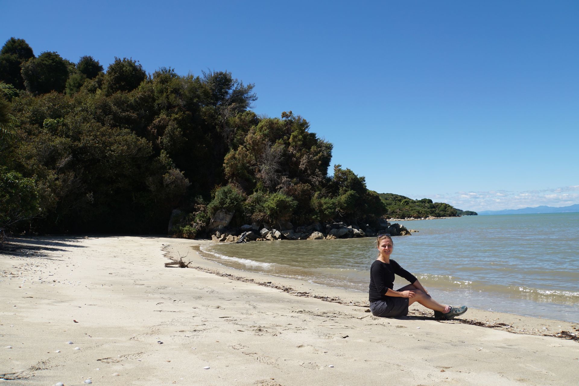
We pass a seal colony on our way to Anchorage Bay, where we start our hike. Here, we immediately understand the appeal of this national park. The combination of the sea, the beach, and the fern forest is simply beautiful.
The hiking trail back to Marahau follows the Abel Tasman Coast Track, a 60km long 3-5 day Great Walk. If only we had the time! The trails, like almost everywhere in New Zealand, are wonderfully maintained and easy to walk on. Every now and then, we can turn off to a viewpoint or a small hidden beach. The trail is quite busy, but not overcrowded. The weather is glorious, and the landscape is beautiful. After about 4 hours, we finally reach the campsite. A relaxing but rewarding excursion.
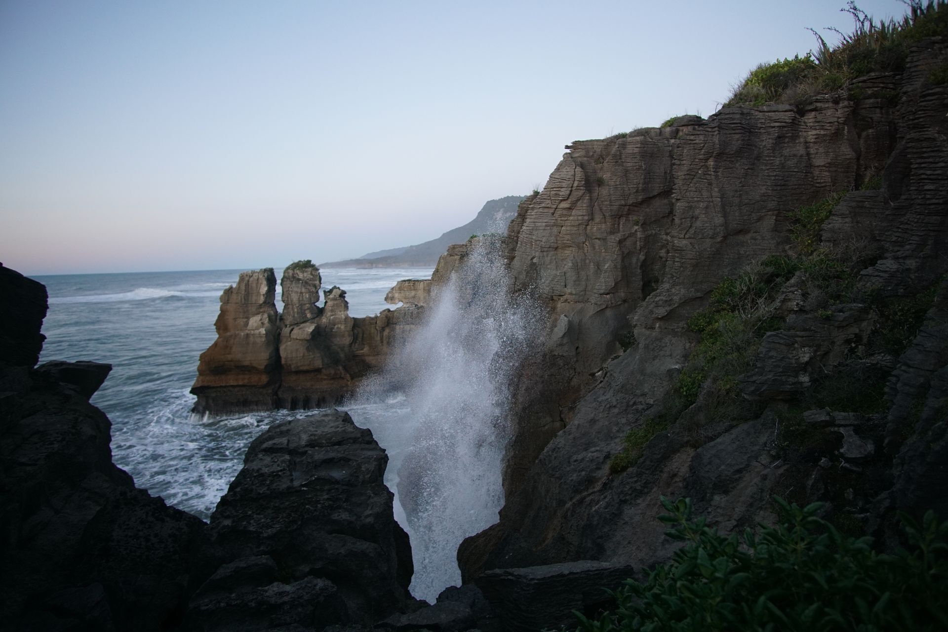
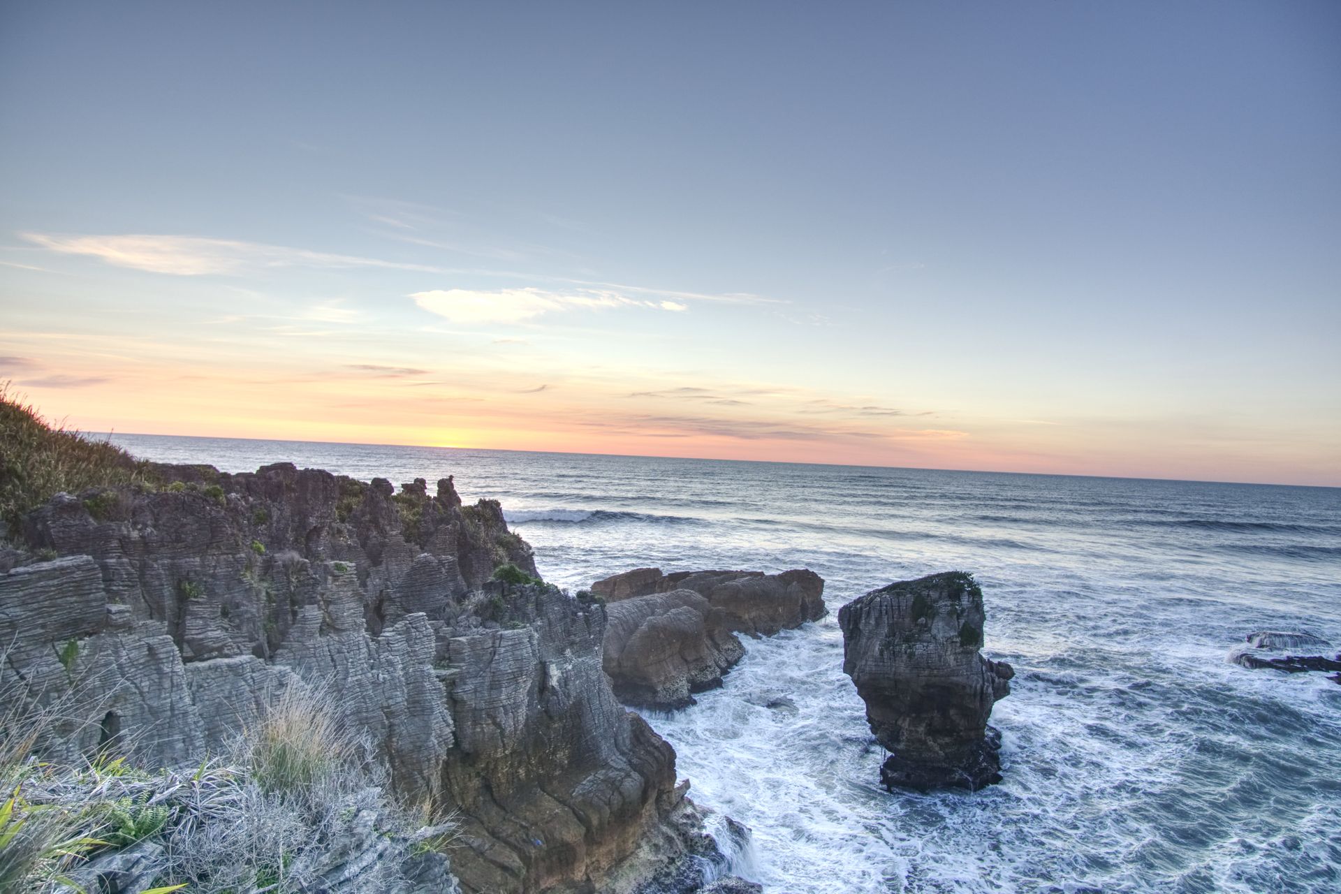
Now let's continue to the Pancake Rocks, which are about 300km away. These rock formations are the tourist attraction in Punakaiki, a small village on the northern West Coast of the South Island. We arrive just in time for sunset and enjoy the evening atmosphere at this special place. Although the rock formations don't really look like stacked pancakes - they're not round enough - the sight is still fascinating. Scientists disagree on how so many layers of limestone could pile up into such bizarre forms. A DOC trail presents various theories. However, they agree that about 30 million years ago, numerous layers of limestone and clay sediments were deposited here in a short period of time and these layers were lifted out of the water by tectonic forces. Exposed to the elements, the soft rock erodes quickly, creating bizarre shapes, blowholes, tunnels, and caves where the air whistles and the water foams. It's incredibly loud, but the restless sea and the gentle breeze create the atmosphere.
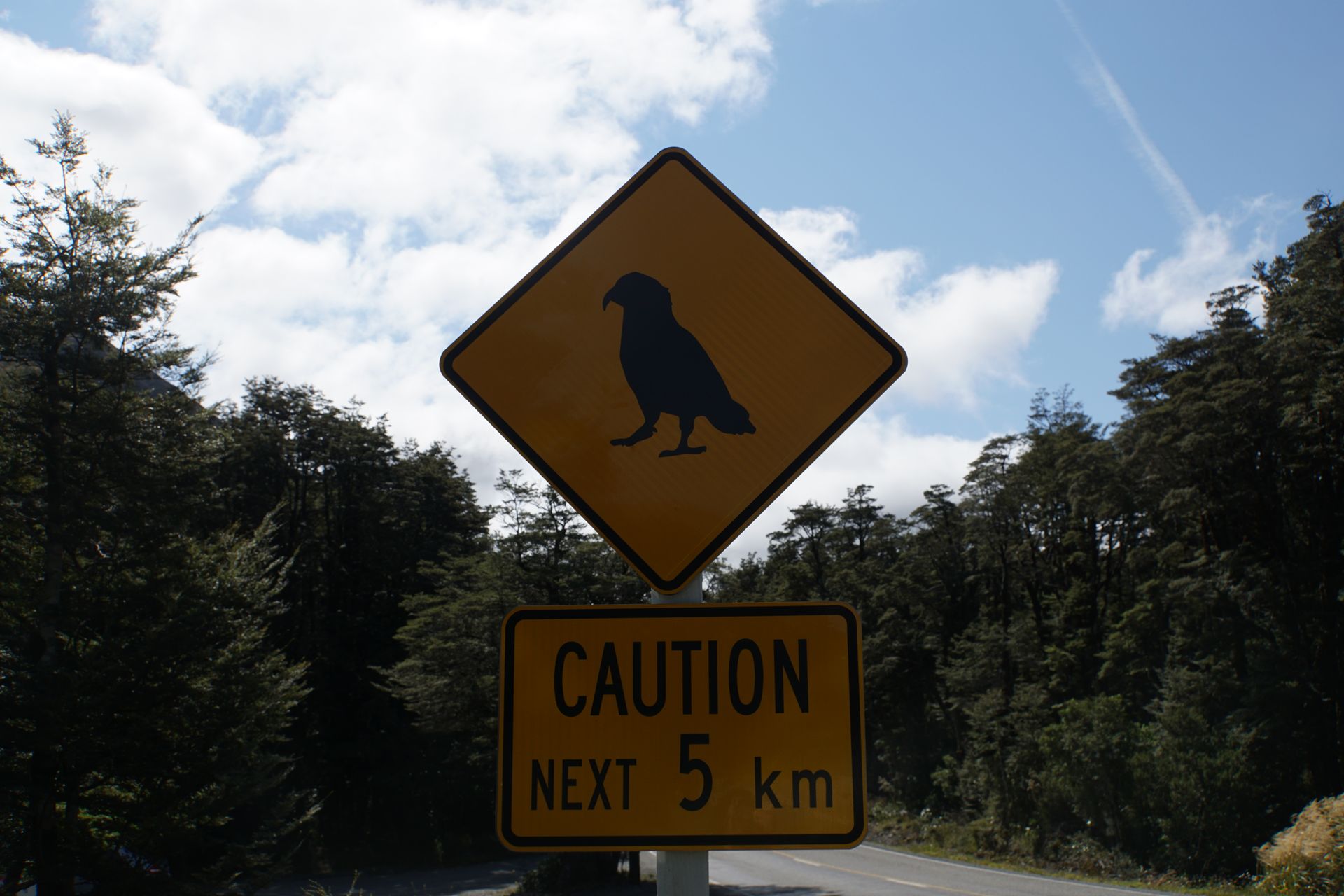
The next day is largely unplanned. We briefly stop in Greymouth, 40km away, and decide not to drive to Franz Josef Glacier, our next planned destination. After a landslide, the highway seems to be closed and only opens on the hour. As the road is supposed to be open continuously after 7 pm, we spontaneously drive to Arthur's Pass, an hour's drive away, where we want to do another small hike and make good use of the day. The travel guide promises us a 'peppy forest walk', whatever that means, but it sounds promising. Arthur's Pass is the highest pass in the Southern Alps and was already used as an east-west connection over the mountain range by the local Māori long before its exploration and mapping in 1864.
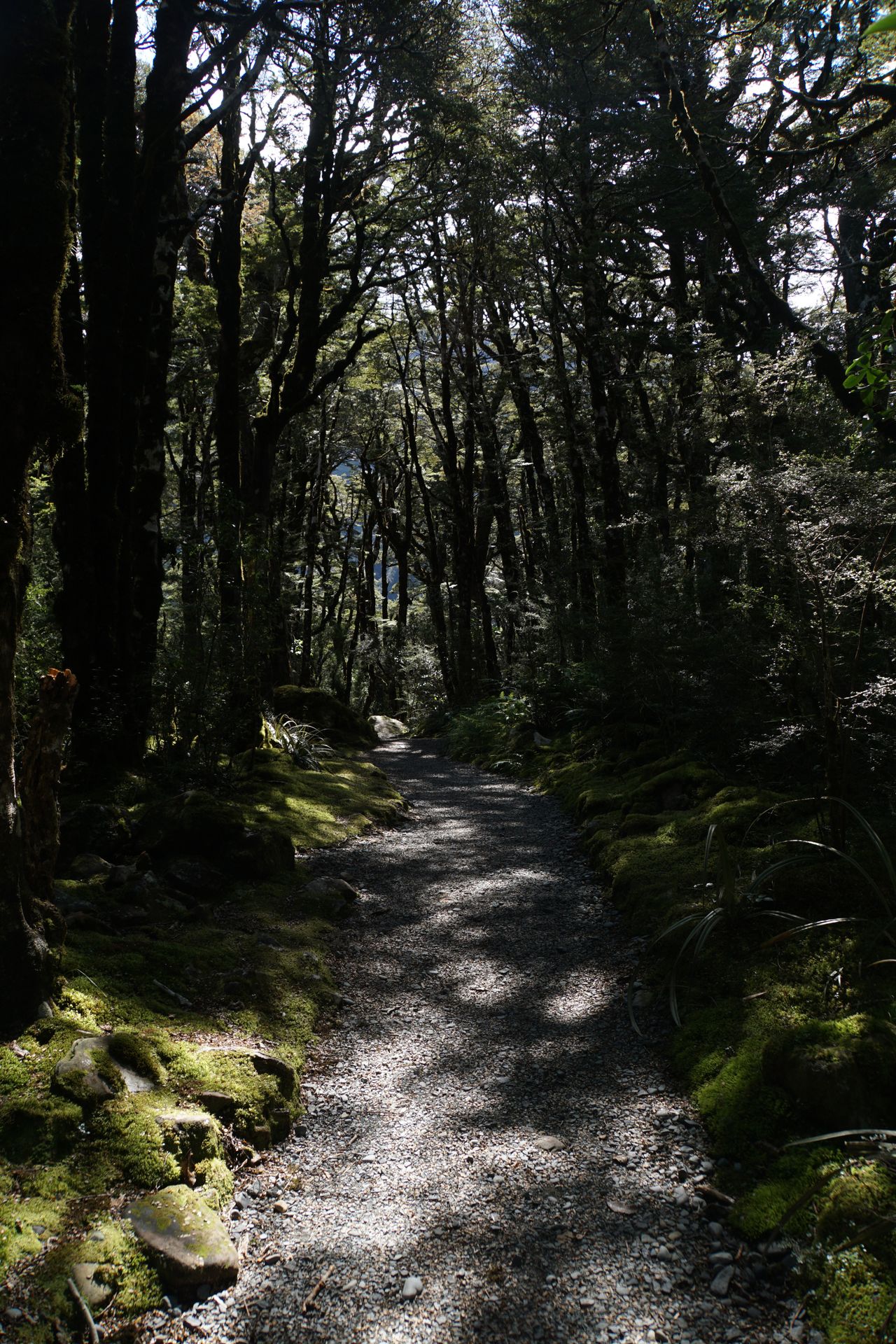
Our 'peppy forest walk' turns out to be a nice trail. It goes up and down, over stairs and small bridges. Unfortunately, we don't have many views of the snow-covered peaks of the mountains up to 2,400m high around the valley where our path runs, and the path simply ends in the middle of nowhere (at least all signs are missing from here on). Although we don't find out what makes this path so 'peppy', the exercise feels good, and we can already prepare ourselves for the Franz Josef Glacier.
Our 'peppy' hiking trail
Afterwards, we drive to our campsite at the foot of the Franz Josef Glacier. The highway is open, and we reach our destination without any incidents. Once we arrive at the campsite, we pitch our tent and have dinner. It's already dark by now.
Alabapin si iwe iroyin
Idahun

Awọn ijabọ irin-ajo Ilu Niu silandii