Aoraki - Gateway to Paradise
פֿאַרעפֿנטלעכט: 13.03.2017

אַבאָנירן צו נעווסלעטטער
Kia ora koutou ✌ 😊
Continuing as promised with my report on my experiences in Mount Cook National Park. Enjoy reading 😊
Wednesday, 22 February
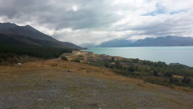
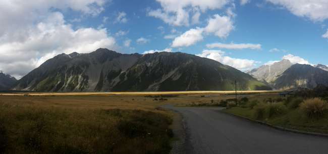
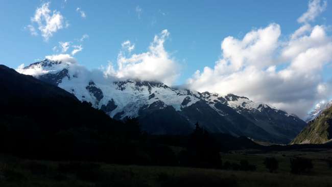
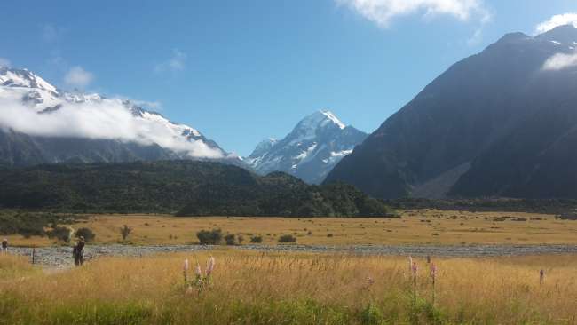
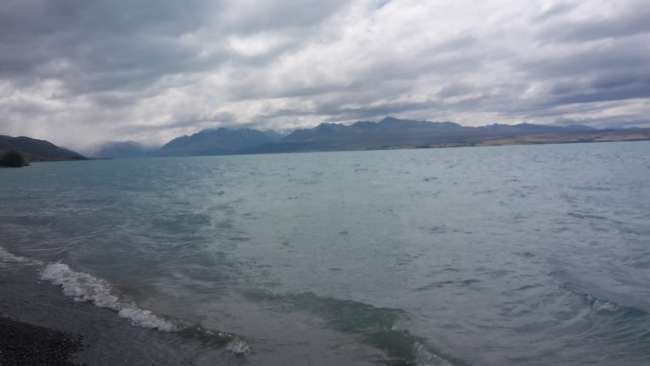
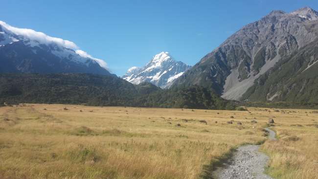
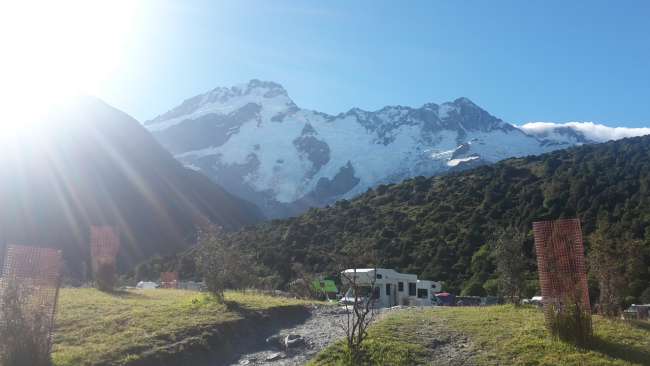
The next Stray bus was supposed to take me to the New Zealand highlands, specifically to Mount Cook National Park. There are 17 out of the 22 3000-meter peaks in this country located in this national park. I had already been there before, but due to bad weather, I couldn't really see much of the beautiful views at that time. To make sure I would have good weather this time, I booked three nights at the hostel in Mount Cook Village. Unfortunately, the sky was very cloudy again on the way there, so the view of Lake Pukaki, which can be absolutely stunning, was just average. Mount Cook, the highest mountain in New Zealand (3724 meters), couldn't be seen at all, and the turquoise color of the water didn't stand out much either 😕 Since sunny weather was forecasted for the next two days, I decided not to go on any major hikes on the first day, but to explore the village instead. Strangely, it was sunny there, but Aoraki was still covered in clouds. During my first visit, I hadn't even noticed that locals live in the village. There is even a school with eight children or so. I wonder where the people get their groceries from since there is no supermarket in Mount Cook Village. That's why I stocked up on a lot of food at one of the stops in Omarama.
Thursday, 23 February
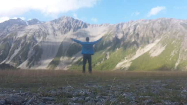
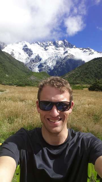
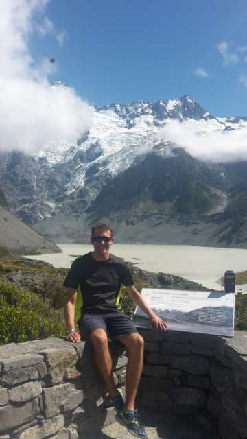
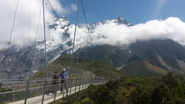
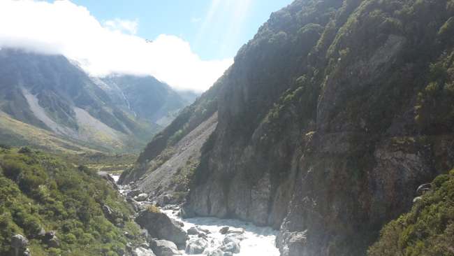
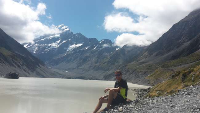
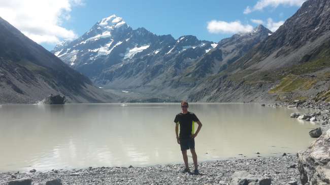
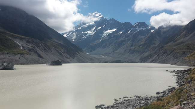
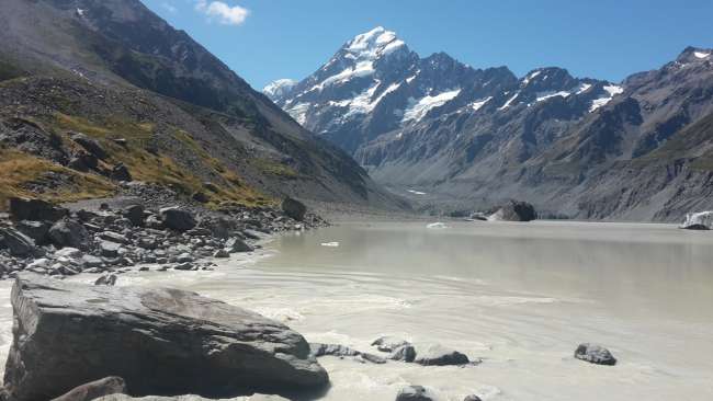
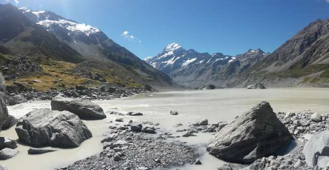
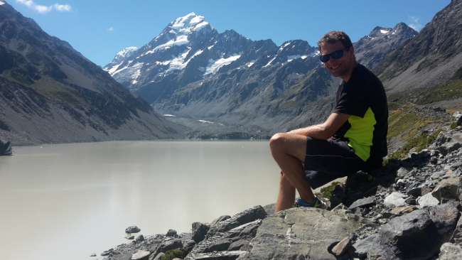
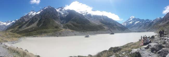
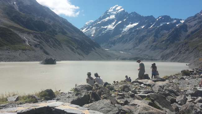
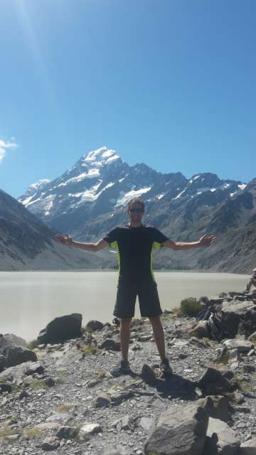
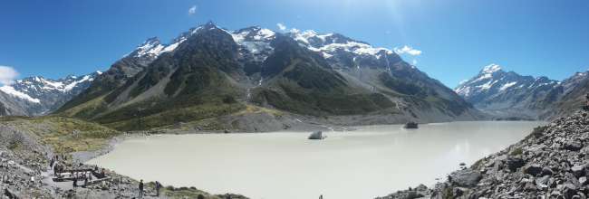
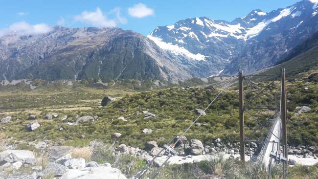
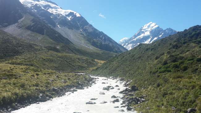
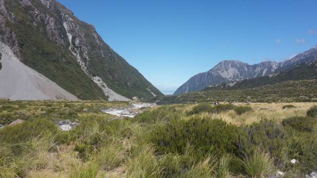
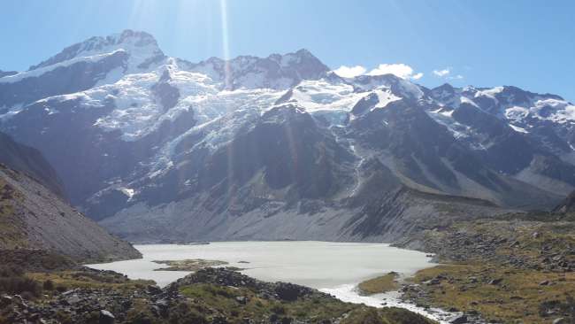
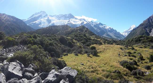
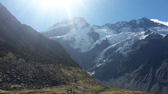
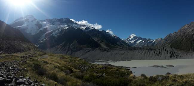
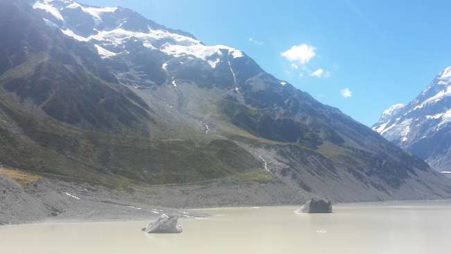
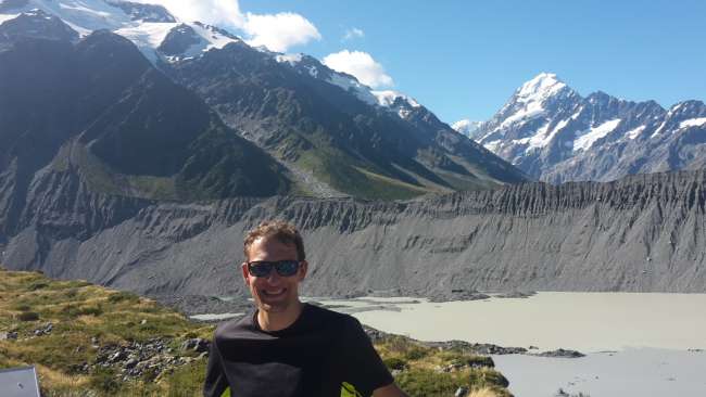
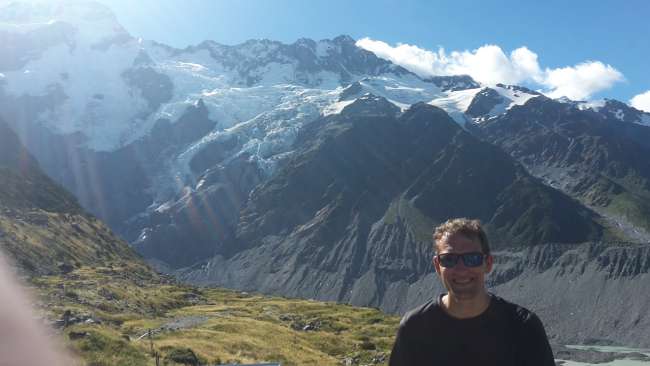
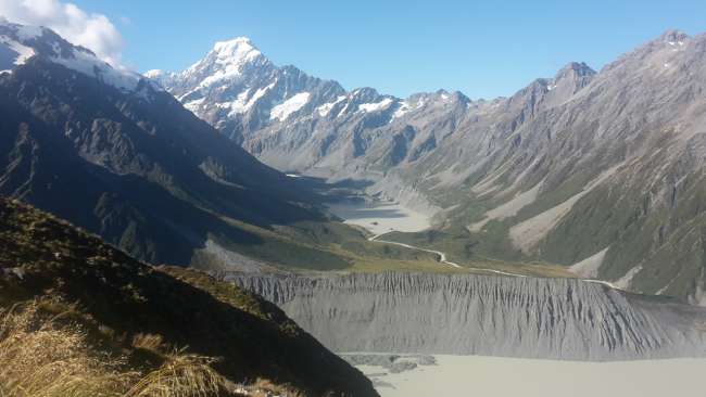
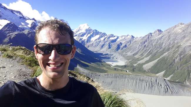
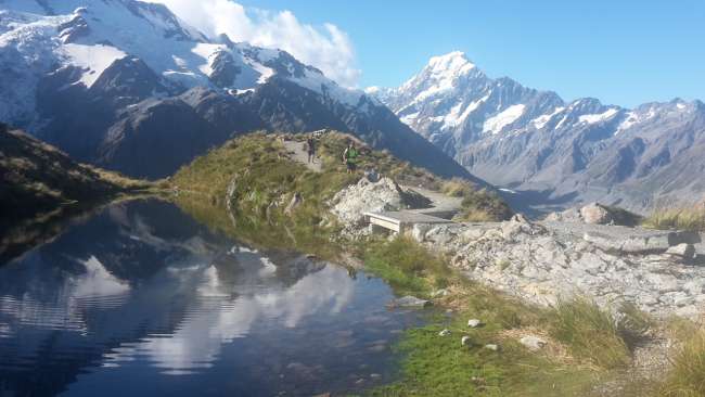
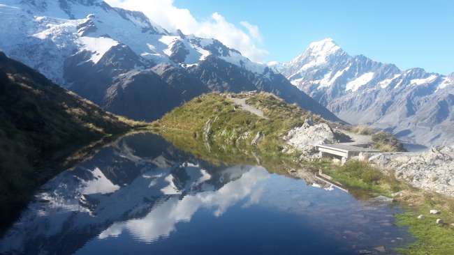
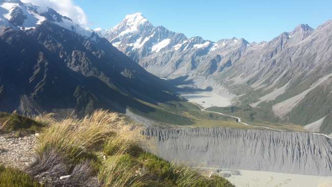
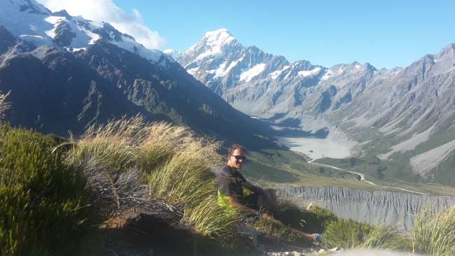
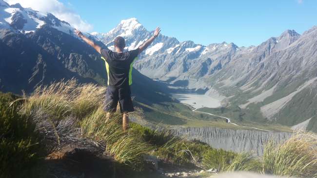
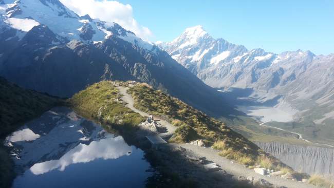
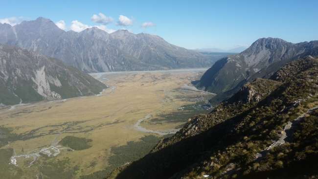
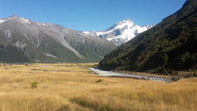
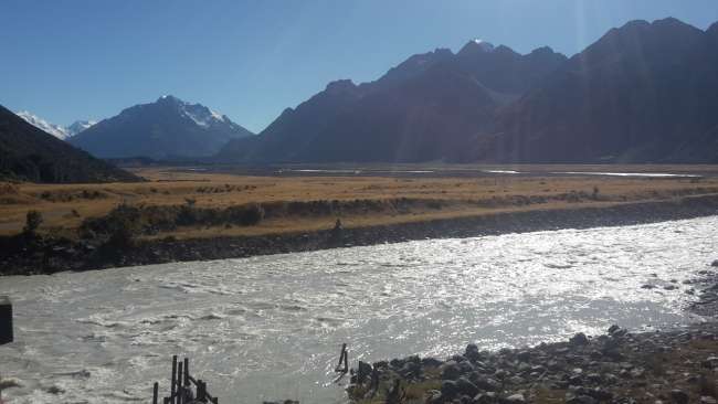
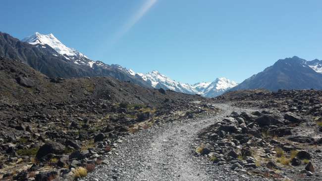
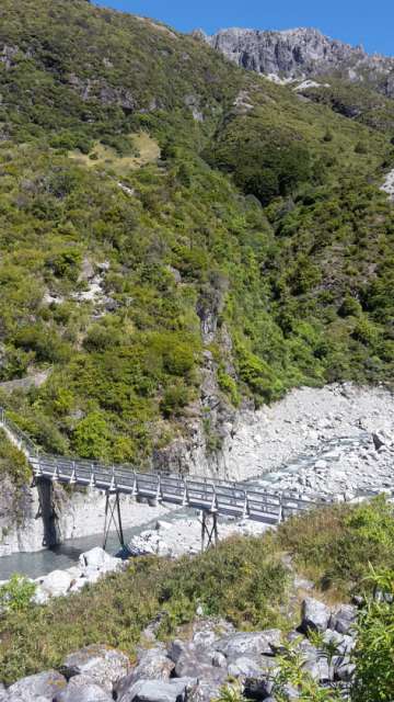
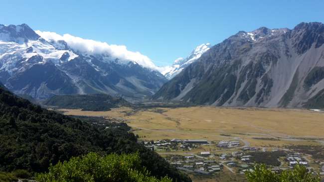
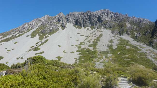
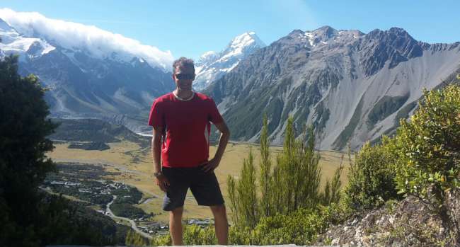
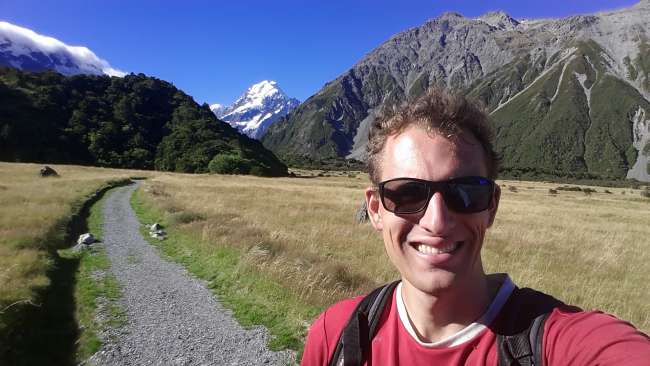
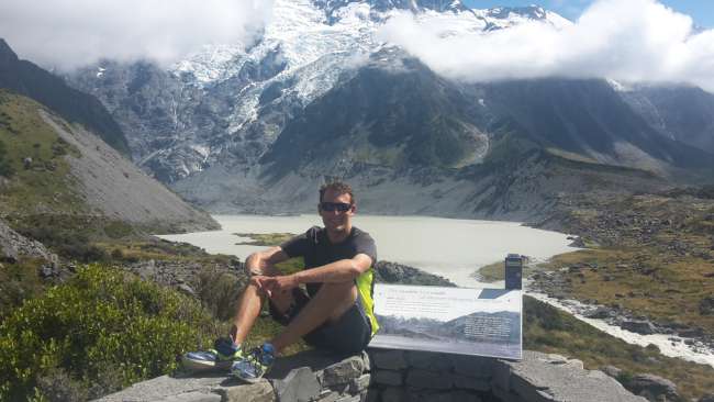
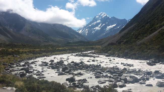
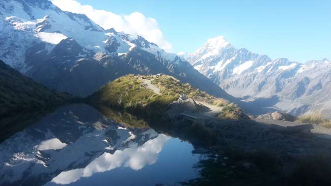
Unfortunately, the clouds were still there the next morning. Nevertheless, I set off for the Sealy Tarns Lookout, from where you have a fantastic view over the valley. However, to reach the destination, you have to climb 2200 steps. And unfortunately, the clouds were very present on this way as well. I quickly realized that the lookout point itself was in the middle of a thick, fat cloud 😢☁ So I turned back halfway and instead made my way to Hooker Lake, a glacier lake at the foot of Aoraki. I had already walked this path on New Year's Day, back then with gale force winds. This time, it wasn't completely sunny, but warm and calm. After a first stop at Mueller Lake, it went through a typical alpine landscape over three bridges and along the Hooker River to Hooker Lake. When I arrived there, the clouds were still there, but it was getting clearer every minute. So I stayed at the viewpoint for a while and was finally rewarded with a beautiful view of Mt. Cook/Aoraki and the surrounding mountains, with Hooker Lake and icebergs in the foreground 🏔 😍 I could have stayed there much longer, but I still had a lot to do that day, so after about an hour, I started my way back. From the start of the trail, I went directly to Kea Point, another viewpoint from where you can see Mueller Lake in the foreground and the high mountains behind it. However, that was not my actual destination. That was called Sealy Tarns. By now, this path was completely clear as well, so I took on the challenge of the 2200 steps with full motivation, which took me quite some time. And it was worth it. The view I had from the summit was simply spectacular and phenomenal 😍👍👍 I could overlook the entire valley, with the village as well as Mueller and Hooker Lakes simultaneously in the shadow of Aoraki. There was also a small lake where great reflections of the snow-covered mountains could be seen. I didn't mind that the long climb had finally destroyed my left shoe 😅 At the top, I met Anke, another German backpacker, with whom I also started the descent, which was not so easy with a shoe with the sole completely detached 😆 After several kilometers and over nine hours in nature, I arrived at the hostel in the evening exhausted but happy about my experiences and was able to enjoy the wonderful view of Mt. Cook from the common room in the evening.
Friday, 24 February
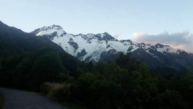
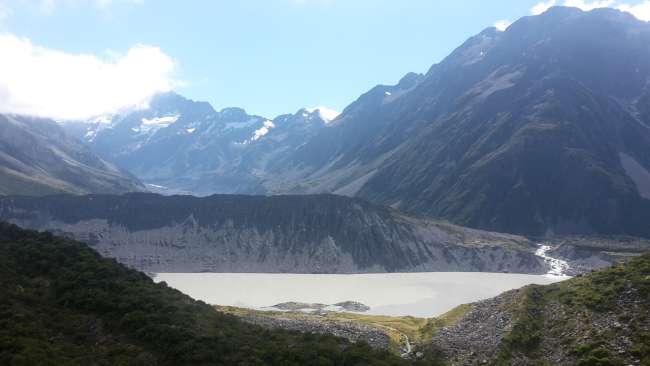
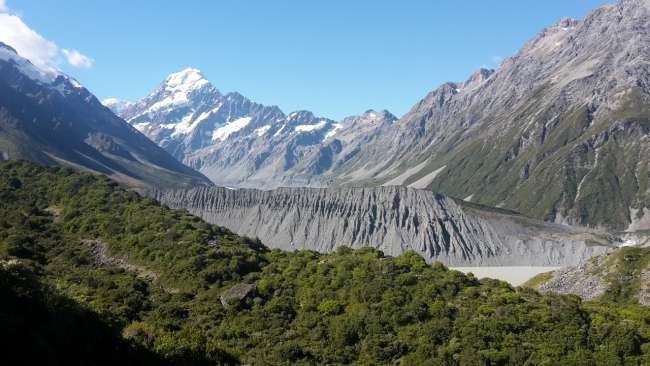
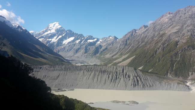
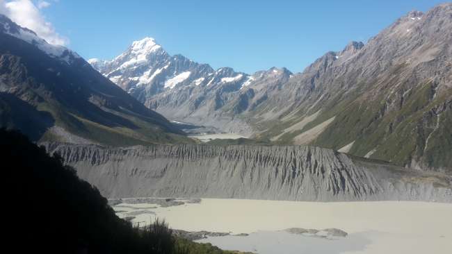
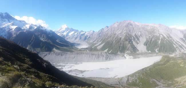
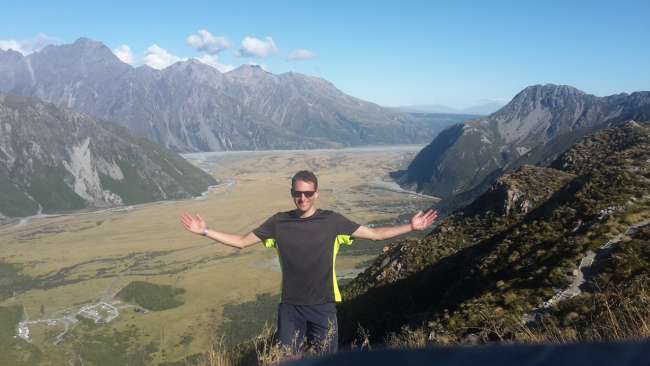
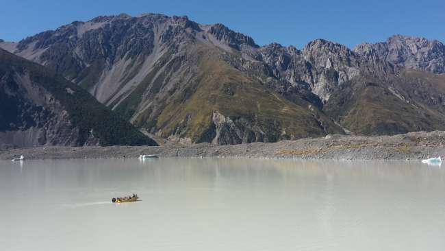
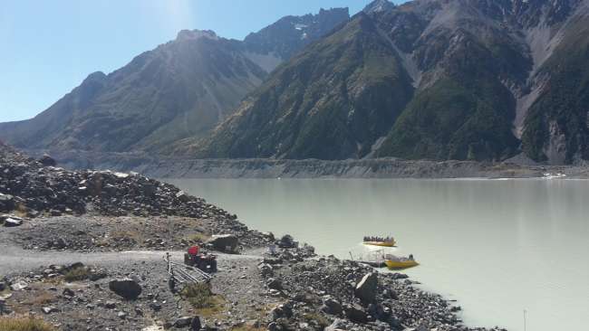
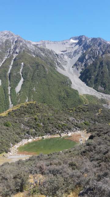
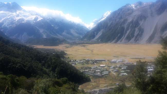
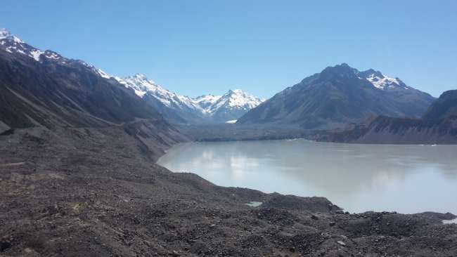
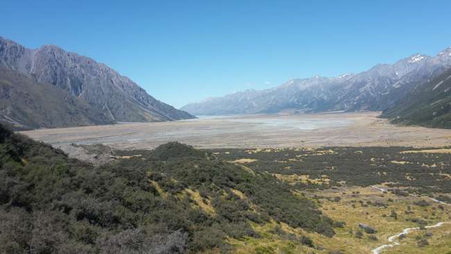
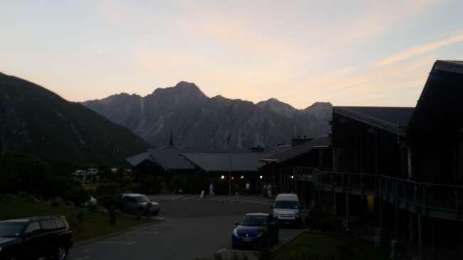
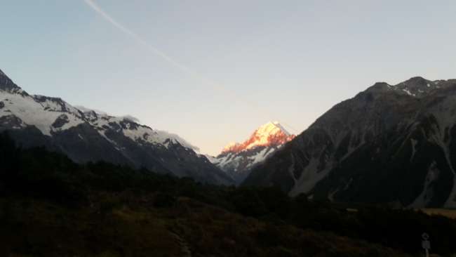
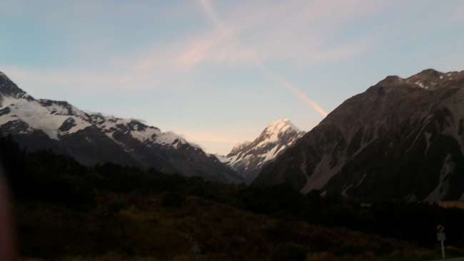
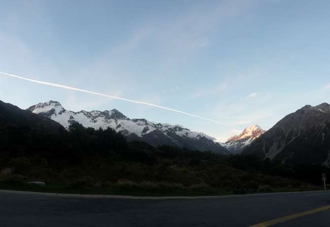
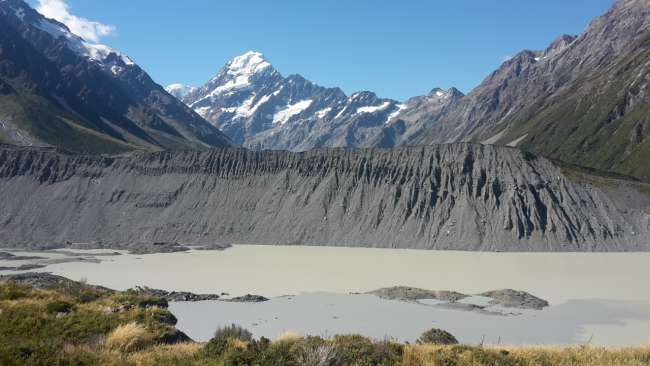
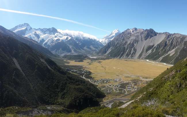
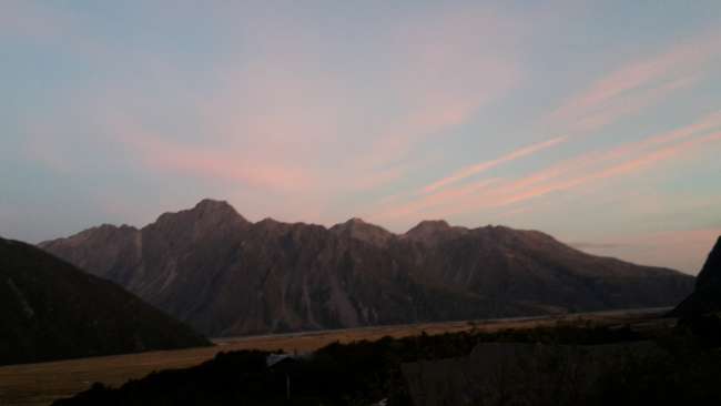
As the next morning showed, the great weather had held up overnight, so there was nothing to stop me from enjoying more beautiful hikes and views. First, I decided to go to the Tasman Glacier, where the Tasman Lake and the Blue Lakes are located. The latter used to be blue, but now they are green, which is due to the glacier's changes, which gets a little smaller every year and from whose foot the Tasman Lake starts. This lake also has the typical gray color of glacier lakes, and there are also icebergs in this lake. However, I didn't find the view, even though it was definitely beautiful, as impressive as the one from the Sealy Tarns or the Hooker Lake. Afterwards, for a short lunch break at the hostel, I went to the Red Tarns Lookout. Here, too, there were some steps to be overcome, but there were only half as many as at Sealy Tarns. But the view over the valley was more than worth it. You could admire the village, the glacier lakes, and the mountains all at once. This hike was the last one of the day for me. However, in the evening, I went to 'The Hermitage,' the hotel in Mount Cook Village, again to admire the sunset from there. This view was also absolutely amazing 😍 Mountains illuminated by red sunlight, with a few red clouds floating around - it couldn't get any better, and my time in the National Park couldn't have ended any better 😊😊
Saturday, 25 February
My next destination on my journey through New Zealand was Christchurch. Unfortunately, we had to endure the trip in the Stray bus without air conditioning, so the bus was very hot 😓 In the afternoon, we arrived in Christchurch, where unfortunately, the weather deteriorated soon, so it wasn't inviting to go into the city. So I just went for an evening walk. In between, I was able to talk to an Englishman for a long time, who is apparently an extreme hiking enthusiast and was planning a hike of almost three weeks. I could never manage something that extreme 😮
Sunday, 26 February
The next day, I was supposed to go to Methven in the evening, so I stayed in Christchurch until late afternoon. Unfortunately, it rained until 2:00 pm, so I didn't feel like leaving the hostel. After the rain finally stopped, I went to the city center briefly to do some shopping and then from the hostel to my bus stop. There, I was welcomed by a nice driver who was supposed to take me to Methven in the shuttle bus and spends her free time on motorcycle tours all over the world. It quickly became apparent that she had been to Europe several times and also in the Eifel region at the Nürburgring at the end of 2015. There, she had taken a ride around the Nordschleife in a sports car. Unfortunately, she couldn't remember the name Pomster. But it could be possible that she also drove through our village. The world is small 😉 Since I could talk to her really well about traveling and various experiences, the ride went by quickly. Scenically, there wasn't much to see. The route between Christchurch and Methven is extremely flat. That's why the area is called Canterbury Plains. On top of that, the weather was lousy 🌧 It only became a bit more varied after the Rakaia Gorge, a canyon with a beautiful view. We arrived in Methven in the twilight, a very small town (1700 inhabitants) at the foot of Mt Hutt, where one of the largest ski resorts in New Zealand is located. Therefore, Methven is full of tourists in winter. But not in March. Nevertheless, I have already experienced a lot here. You will find out exactly what in the next report.
See you then 👋
Your Max
אַבאָנירן צו נעווסלעטטער
ענטפער

