
Great Walk: Tongariro Northern Circuit - Days 5 to 7
Được phát hành: 04.03.2018


Đăng ký tin
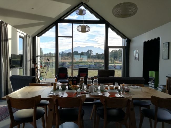
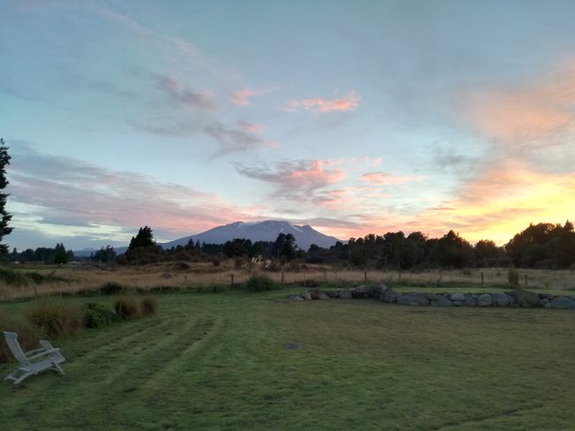
Today we started our first big hike! Full of anticipation, we enjoyed the delicious breakfast from Julie and Wayne and the breathtaking view from their bungalow towards Mount Ruapehu!! They own over 1 hectare of land and this incredible 2-year-old bungalow!
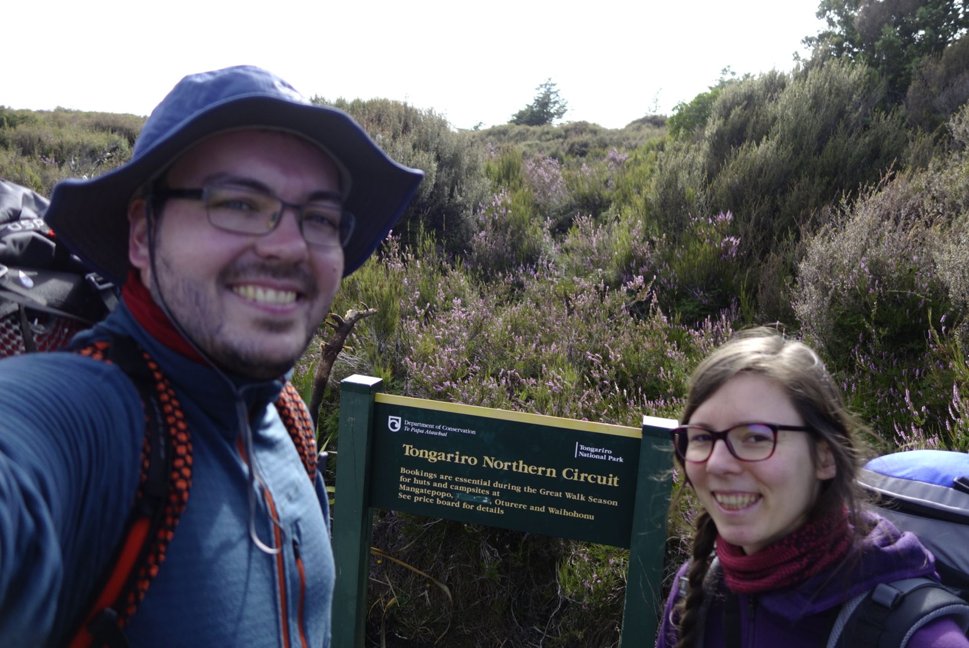
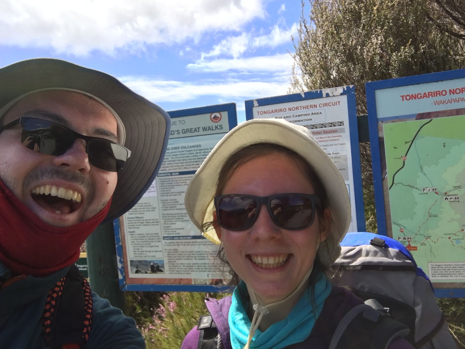
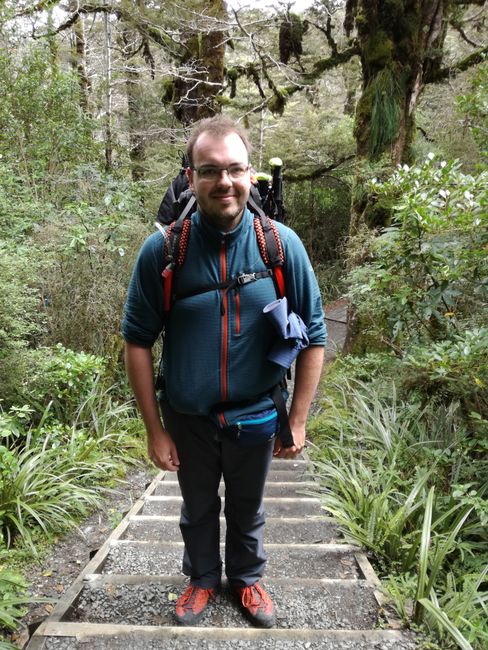
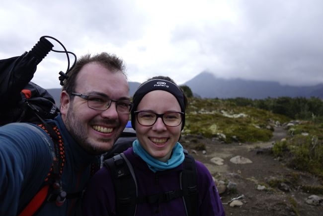
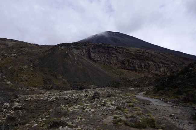
At 9:30am, after just 12 hours of staying, we packed our belongings and drove to Whakapapa Village, which was a 40-minute drive away. This is the starting point of our hike, called the Tongariro Northern Circuit. The Tongariro National Park is a UNESCO World Heritage site. The Maori consider Mount Ruapehu and Mount Ngauruhoe as sacred cultural sites (tapu), although Ngauruhoe is actually just a side vent of Tongariro. When we arrived in Whakapapa Village (pronounced like 'F'), we checked in at the visitor center, received a parking pass for the next three days, and the emergency contact number in case we didn't check in (our families were informed). Finally, at 10:20am, we were at the 'Tongariro Northern Circuit' sign. The backpacks were ready, and so were we!!! Coooolll! Let the 3-day hike begin!

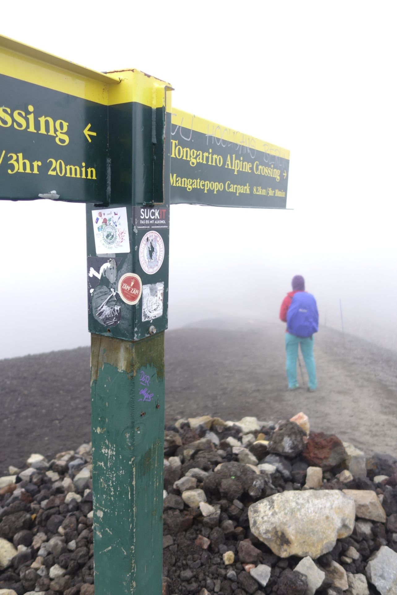
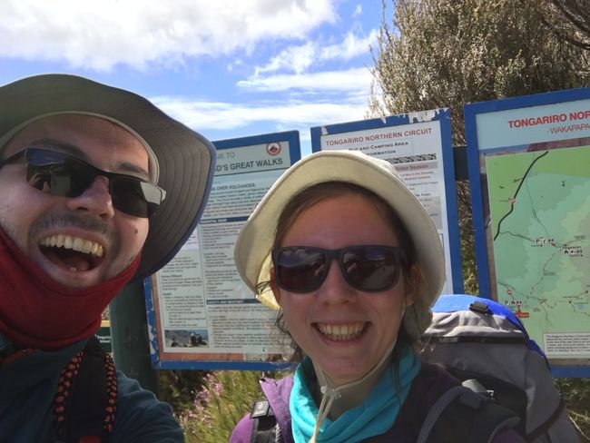
As one of the 'great walks' in New Zealand, it is maintained by the Department of Conservation and well-marked. You can't get lost. The weather forecast varied between cloudy and slightly sunny for the following days. We didn't choose the usual route; instead, we hiked the reverse way to encounter the visitors coming from the one-day hike 'Alpine Crossing' on the volcano on the 2nd day. In the summer, this hike allegedly attracts 4000-5000 people per day! So, we walked from Whakapapa Village to Oturere Hut (1st night), then to Mangatepopo Hut (2nd night), and from there back to the village. We had about 24 kilometers and 200 meters of altitude ahead of us until Oturere Hut. The distance between the two huts was 12 km, but we had to go up to over 1800 m (and back down). Between Mangatepopo Hut and the starting/finishing point of Whakapapa Village, there were only 9 km left and a few insignificant meters of altitude.
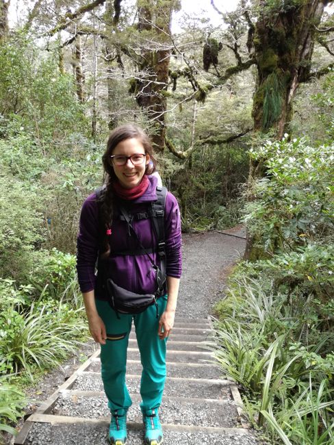
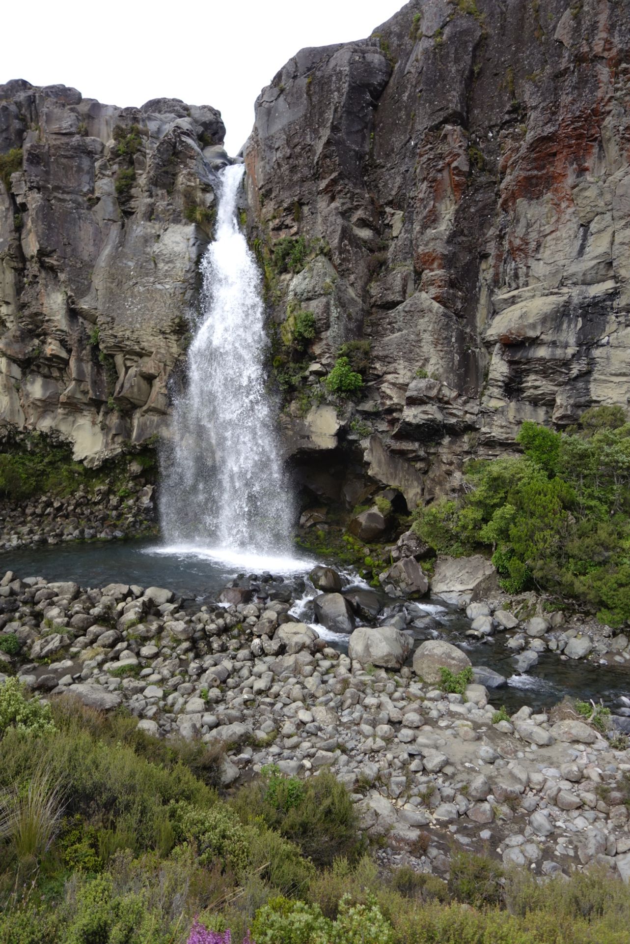
The first detour was to Taranaki Falls. Very beautiful view :) Then we encountered the first serious ascents on slightly rocky terrain... and what can we say? Not just because of the rocky terrain, we now understand why people use hiking poles. In retrospect, they were incredibly helpful in practically all ascents and descents, especially when our leg strength diminished (yes, such wisdom can only come from hiking noobies like us...). Afterwards, we walked through a steppe-like heath landscape to the lower Tama Lake, a crater filled with azure-blue water. We had our lunch break there and met a German girl who kindly took a photo of us :))) Germans everywhere in NZ!!

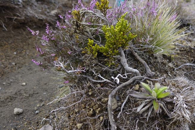
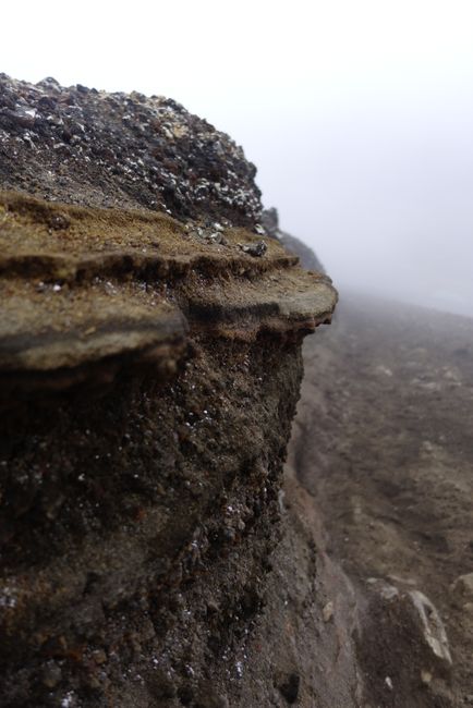
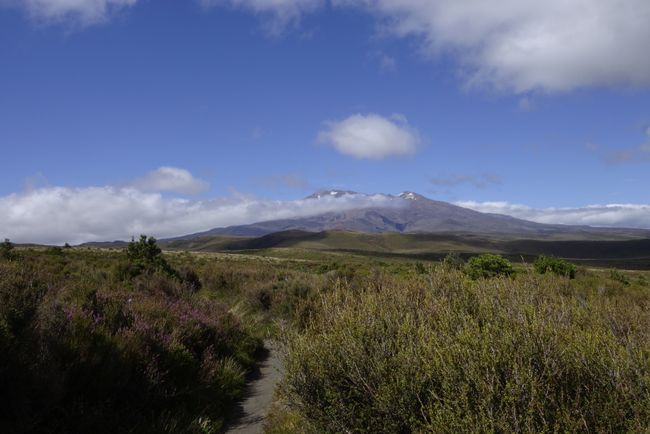
Slowly, the sun began to appear and it got warmer. A river appeared on our left, and here and there we saw bare slopes where the earth had slid down. Interestingly, this exposed the different layers of the earth, which an expert could interpret in relation to geological events :))) Janina was occasionally buzzed by really big bumblebees. There were many bushes, but also the 'Mexican Daisy' (apparently introduced, as we learned in the museum in Wellington), heather, bent grass, and other (colorful) plants. In this stretch, it wasn't so barren yet. In the distance, we could see the volcanoes, which looked different :))) All very impressive! And above all, we were mainly alone; time to let our thoughts wander and enjoy nature!

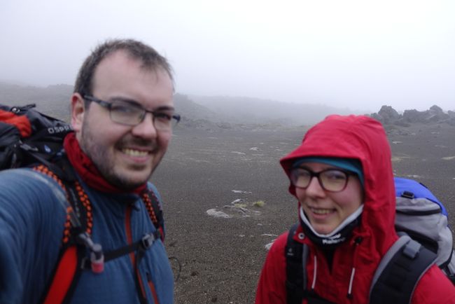
We arrived at Waihohonu Hut at around 4pm. While many people stayed there overnight, we only refilled our water supplies and rested for a while. After nearly 6 hours, our backs already knew we were carrying backpacks ;-) We could also see that Janina should have used sunscreen beforehand.... Nevertheless, at least we match in terms of sunburn on our faces. Red is a lovely color! When Jörg briefly spoke to the hut ranger, he commented on our plan to hike to Oturere Hut next: 'Cool!' Let's see!

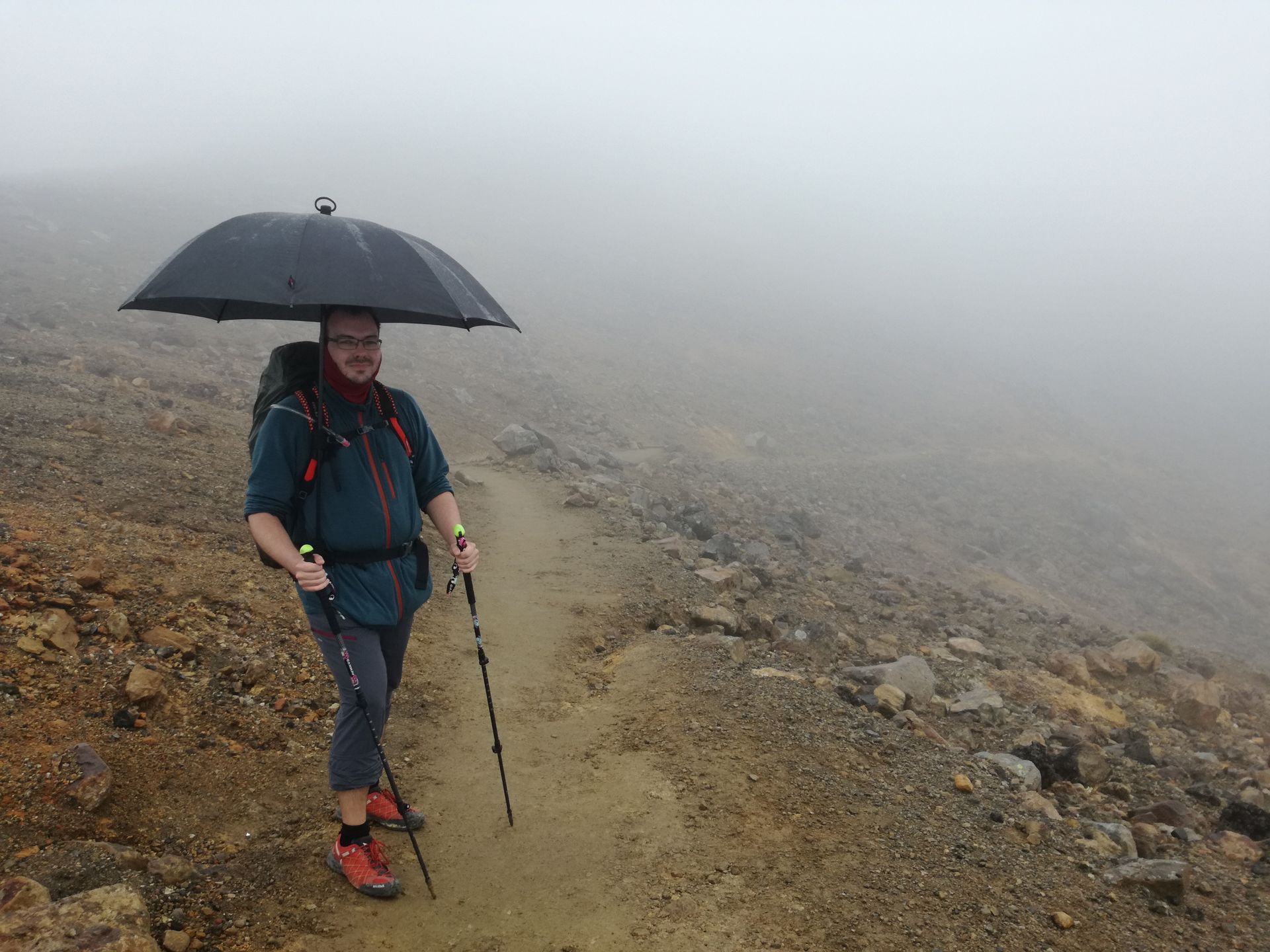
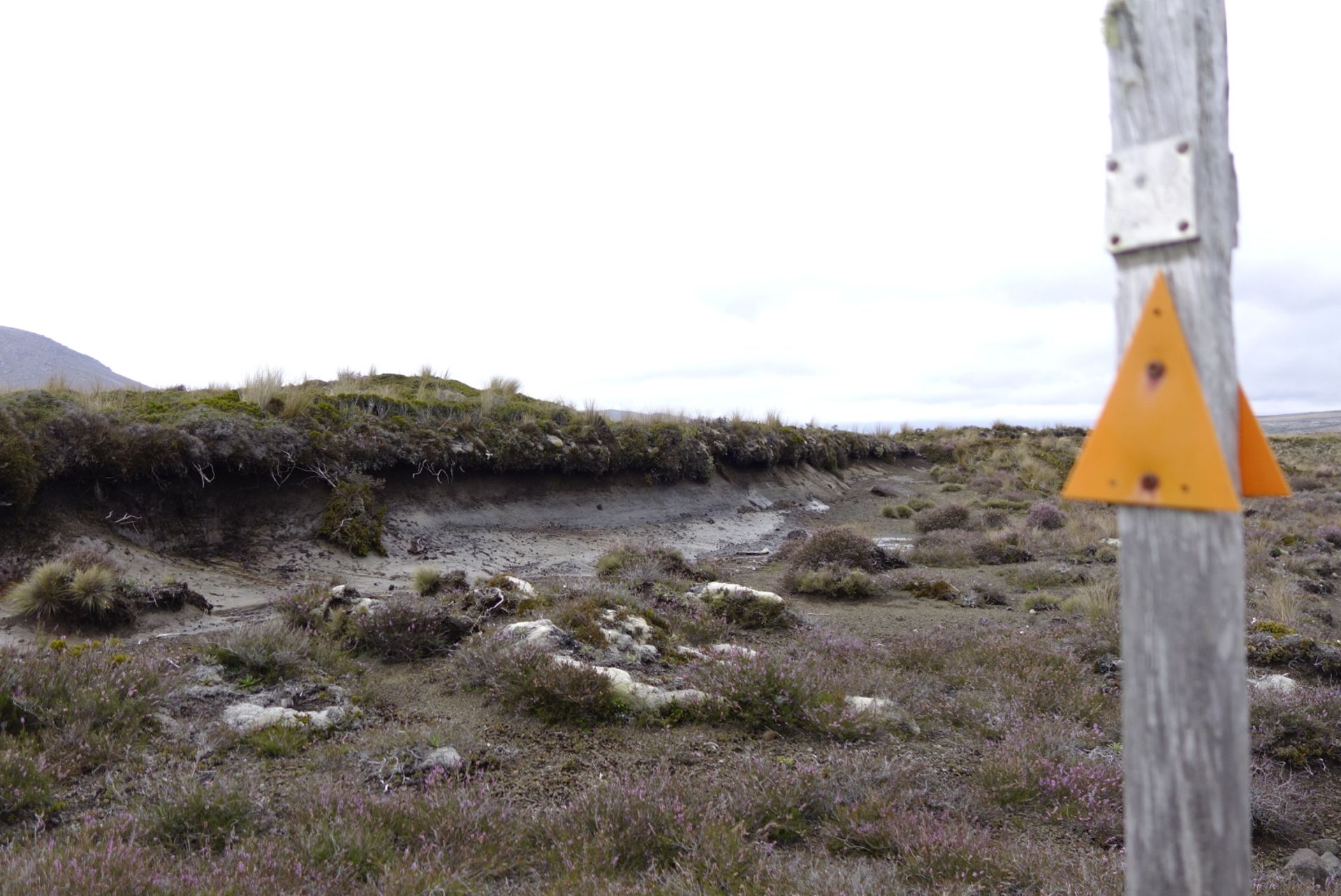
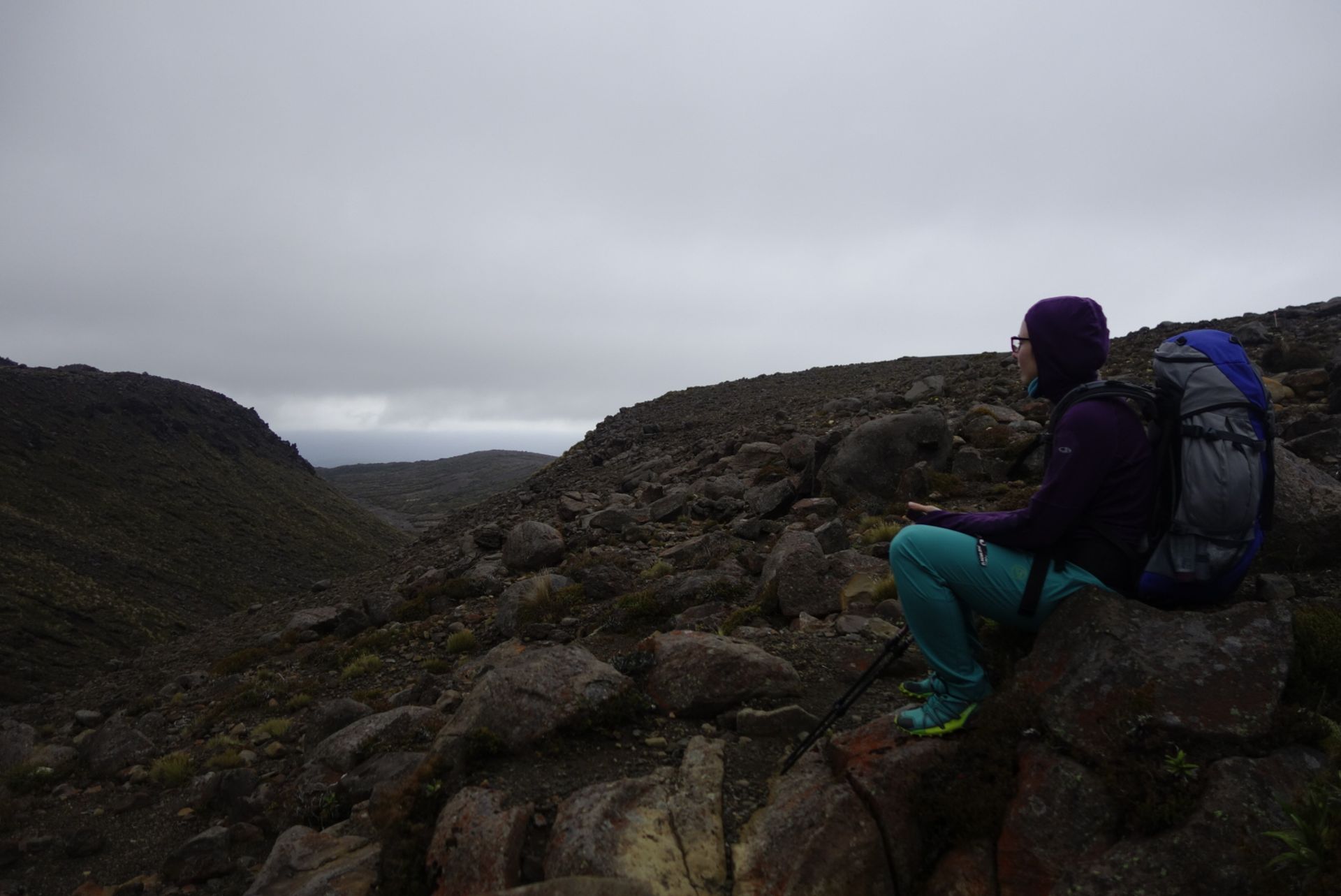
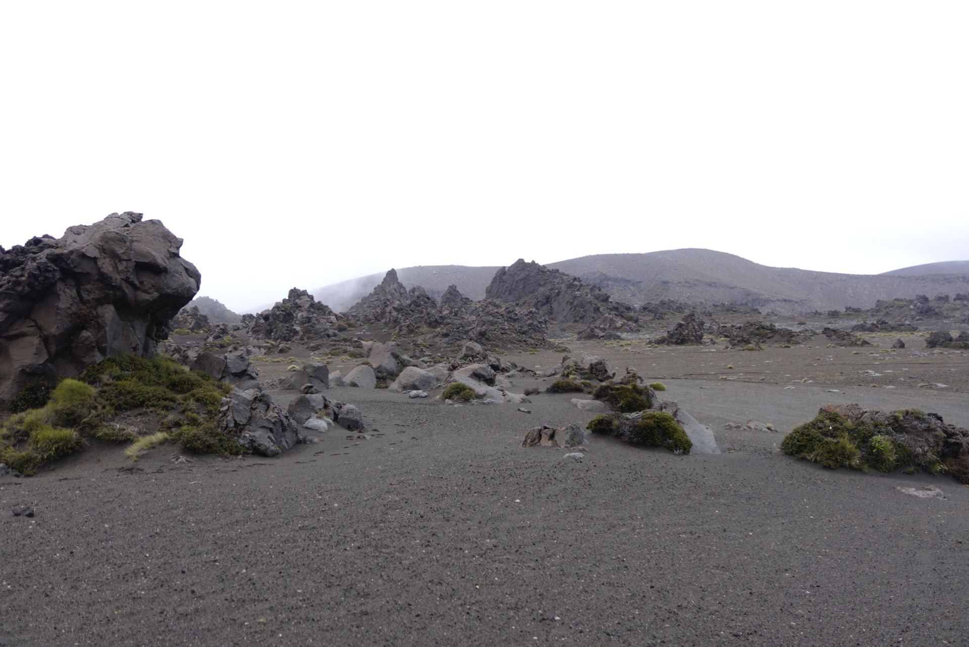
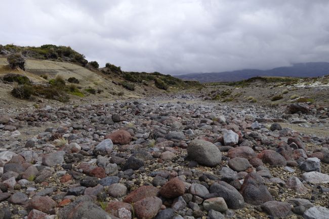
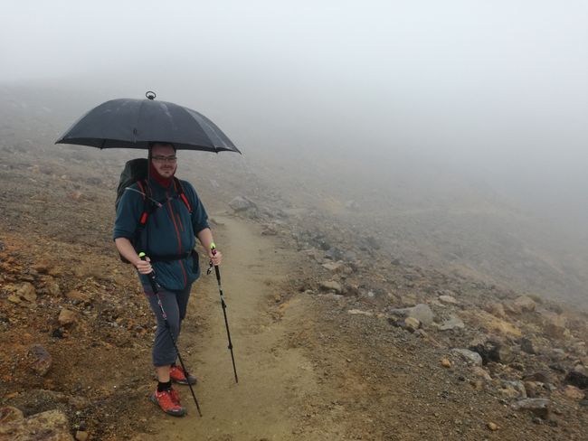
It was challenging but beautiful. According to the map, which was already quite torn, we had to conquer two mountains and valleys with dense vegetation. So far, so good. Then the weather changed, and it started to drizzle. Jörg's hands-free umbrella came in handy. By the way, the umbrella was commented on and admired several times on the 2nd day, and one man wanted to take a photo of Jörg with the umbrella. The customer reviews about the umbrella were actually right. Cute! And the vegetation changed drastically from green to grayish-brown. We felt like we were entering the land of Lord of the Rings. Not a soul in sight (we were actually the only ones on this trail at this time) and mainly rocks and/or barren land surrounded us. Darkness and fog set in, and more dark rocks and cliffs appeared. So, each time we passed one of the faithful trail markers, we were relieved :))
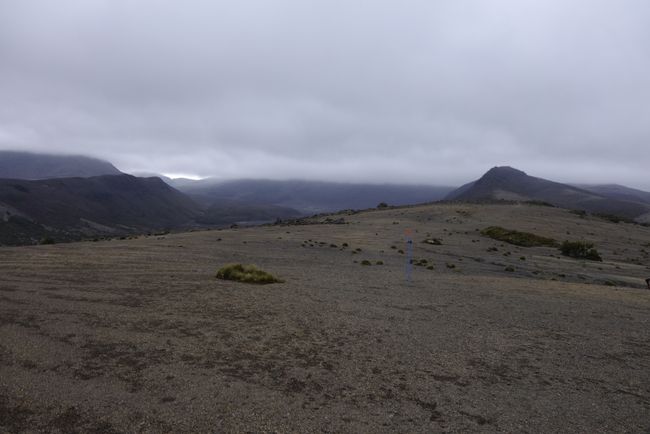

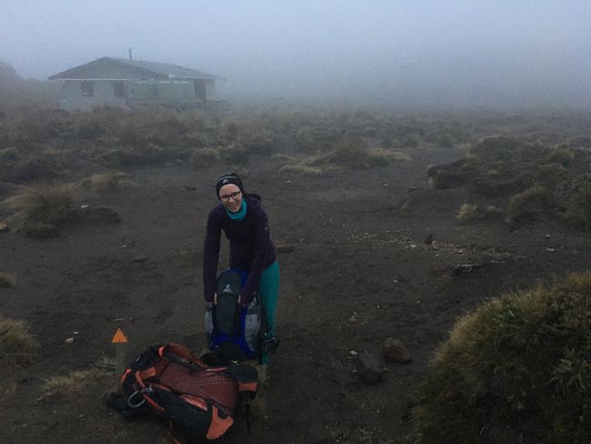
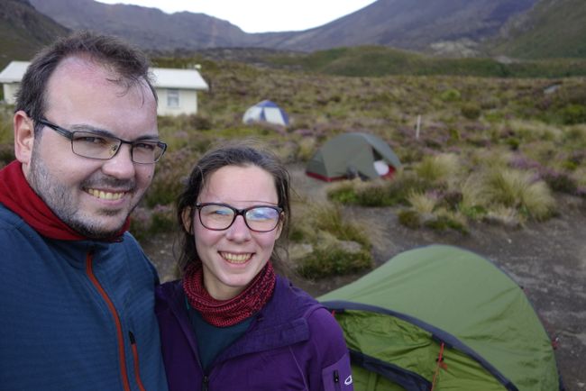
According to the map, we were supposed to cross two mountains before reaching the hut, but there were actually four and a considerable distance left to cover. At one point, a marker indicated '2 km', but it felt like at least twice that distance, not least because of our exhaustion, the rain, and the darkness. We finally reached Oturere Hut at around 8:20pm, with a visibility of only 100m due to the fog. Fortunately, we could still see it well enough - luckily. Janina was afraid that we would have to camp wild... Well, Jörg was too. We quickly set up the tent, by the way, not in the living room for the first time. And just before we couldn't see anything anymore, the tent was up and we were sheltered. Hurray!! When Jörg went to get drinking water shortly afterward with a headlamp, the visibility was barely 10 meters. It's good that the outer shell of the tent has reflectors!
The night was rainy and stormy. Janina slept like a log, Jörg slept like a stone that had drunk 2 liters of coffee beforehand, which means hardly at all... thumbs up! The next morning, we took it easy, especially since we had only about 3.5 hours of hiking ahead of us. The weather was very good, soon too good because the sun was scorching!
The weather god, or whoever, wanted to cool our sunburns apparently...
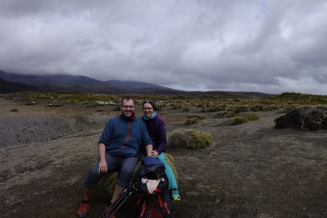
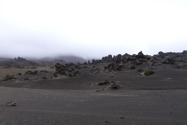
Well, there is no such thing as bad weather, only... you know. We made our way towards Emerald Lakes. Along the way, we increasingly noticed that the landscape was of volcanic origin.

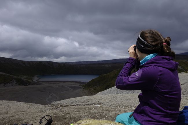
The sacred Blue Lake was enveloped in fog, so we turned back towards the path to the Emerald Lakes. Luckily, it cleared up now and then.
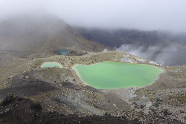
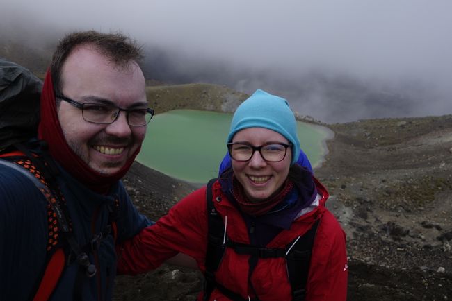
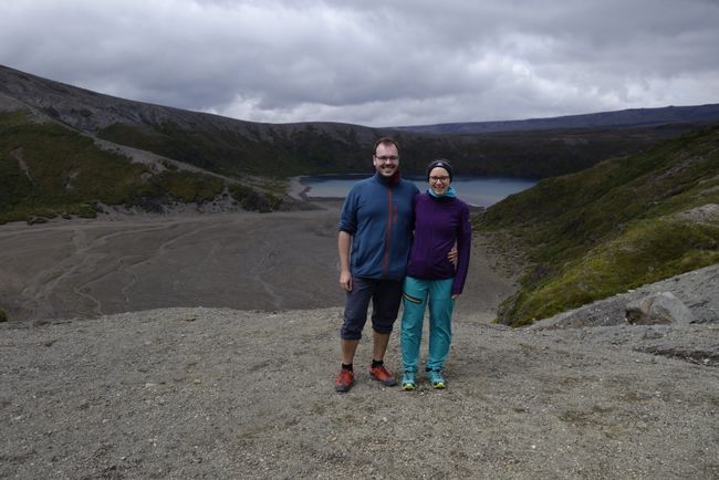
It smelled of sulfur, but even more impressive was the greenish shimmering color of the lakes. The third lake in the background was turquoise. Fantastic!!! Sometimes we heard and felt a rumbling that - as we later realized - came from one of the volcanoes. On the drive to Taupo, we could also see smoke rising from Tongariro. However, it was only at Level 1 'minor activity' and the last eruption was in the mid-1970s. Nevertheless, it was a somewhat uneasy feeling; we were certainly filled with respect. The above photo was taken halfway to the summit of Te Arawhata. The altitude difference between the lakes and the summit was a significant 220 m. It was quite steep. The ground was sandy, like walking on a sand dune: one step forward, two steps back... but with hiking poles, the ascent was quite doable. The day hikers from the Alpine Crossing were generally not as well equipped; they had to be really careful.
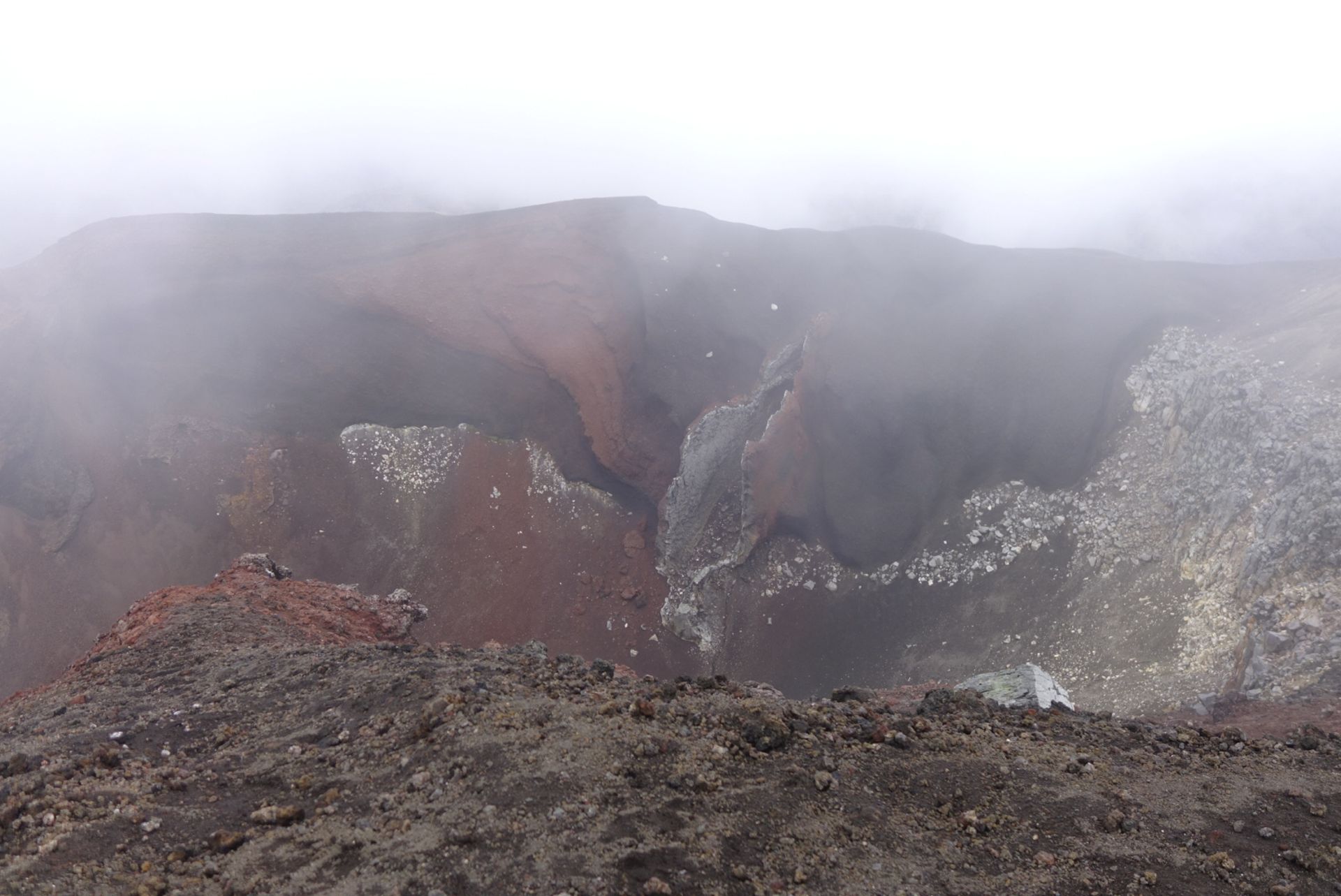
After reaching the summit, we had a great view into the Red Crater.


We continued to the southern crater.
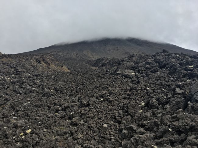
This crater was enclosed by Mount Ngauruhoe (2300 m) and Mount Tongariro (1970 m). Mount Ngauruhoe is known as 'Mount Doom' from the 'Lord of the Rings' movies. Many scenes related to Mordor were also filmed in the rugged valleys of Tongariro National Park. And a fun fact: Every year, many fans climb the volcano to sink their copy of the iconic ring into the crater. Crazy!
Along the ridge of Ngauruhoe, we descended into the valley, passing rock formations that came from pyroclastic flows during the last eruption in 1975. Walking right beside them, you could get a sense of the power and size of such a flow and how small you are compared to it. Since these flows erupt at speeds of over 100 km/h, you practically have no chance to dodge them as you might with a lava flow.
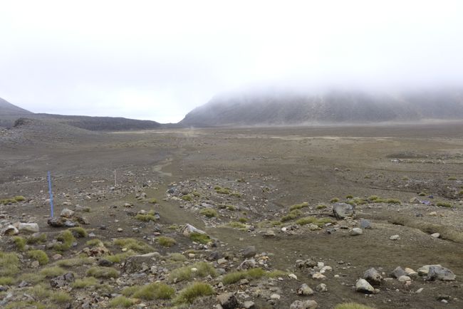
When we reached the valley, there was still an hour's walk ahead of us. We happily arrived at Mangatepopo Hut in the early evening.
The next morning, we took it easy, as we had only about 3.5 hours of hiking ahead of us. The weather was very good, soon too good because the sun was scorching!
In the early afternoon, we arrived at the starting/finishing point. We were done and happy :)))))
Afterwards, we treated ourselves to something delicious to eat at the nearby restaurant :)))) We had been looking forward to the smell of cooked food during the hike. It's the little things in life that make you happy!
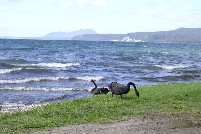
In the afternoon, we drove to our next accommodation in Taupo. We stopped several times at Lake Taupo and even saw black swans that weren't really shy.
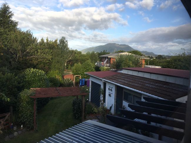
In the evening, we reached the accommodation, which rewarded us with a great view from the bed!
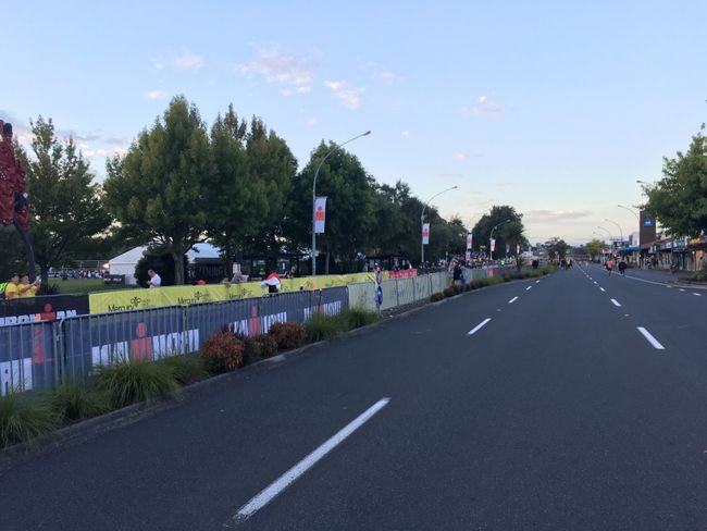
Surprisingly, an Ironman competition took place in the town. It started at 5 am on Saturday and went on until midnight :))) The competitors were probably as exhausted as we were ;-)
Đăng ký tin
Trả lời (1)
Mechthild
Beeindruckende Landschaft und eine großartige Leistung. Wünsche euch noch schöne Tage... und zählt mal die Schafe, es sollen mehr als Einwohner sein