Nord-Nordwest
ที่ตีพิมพ์: 19.11.2016

สมัครรับจดหมายข่าว
After our trip to the northern tip of the North Island, we headed back down south. Since we had already explored the east coast from Auckland to Cape Reinga, this time we decided to drive along the west coast until we reached Dargaville.
**************** 90-Mile Beach ****************
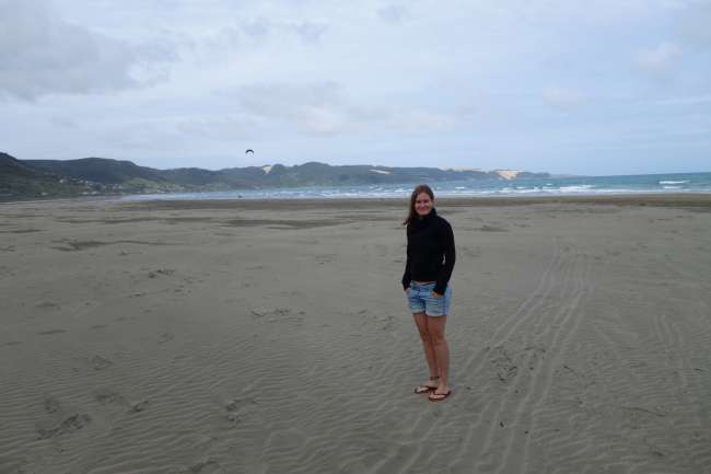
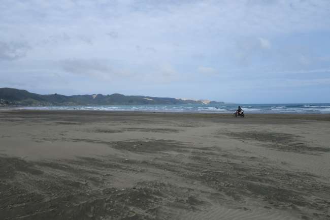
Aside from the sand dunes, we had ignored the 90-Mile Beach so far (literally, hehehe). As we have mentioned before, we prefer grassy hills and trees on the beach rather than... well, just sand.
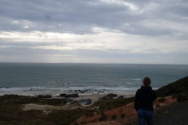
But in Ahipara, we quickly realized that the beach really doesn't have much to offer unless you have a horse, quad bike, kite, or jeep. And we were right:


To make matters worse, it was also incredibly windy... so we quickly moved on! :D
**************** Rawene ****************
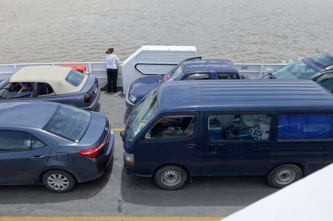
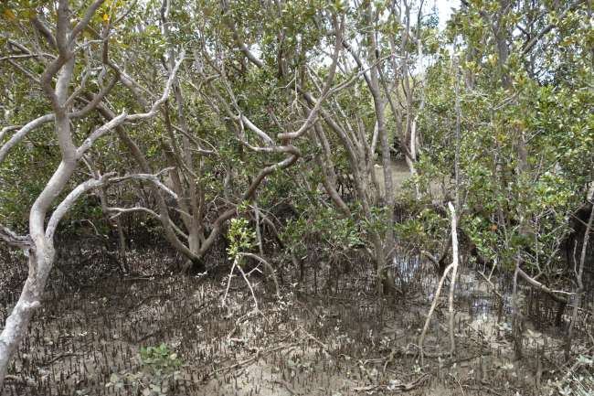
A little further south, a gap appears in the otherwise straight west coast: a large natural harbor forms an 'inlet' with mangrove forests, which means brackish water (= a mix of saltwater and freshwater). We crossed this mangrove delta with the car ferry from the town of Kohukohu to Rawene:

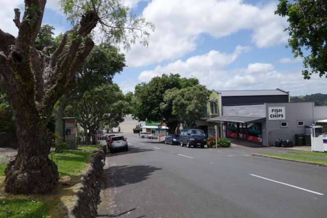
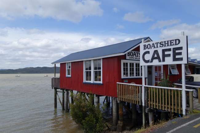
Rawene is a quaint little town...


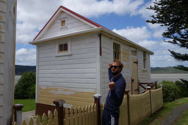
...with a bit of history: this is how small the prison was in 1898

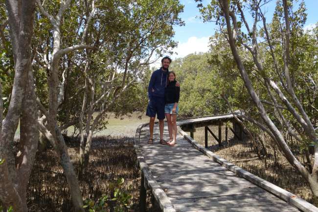
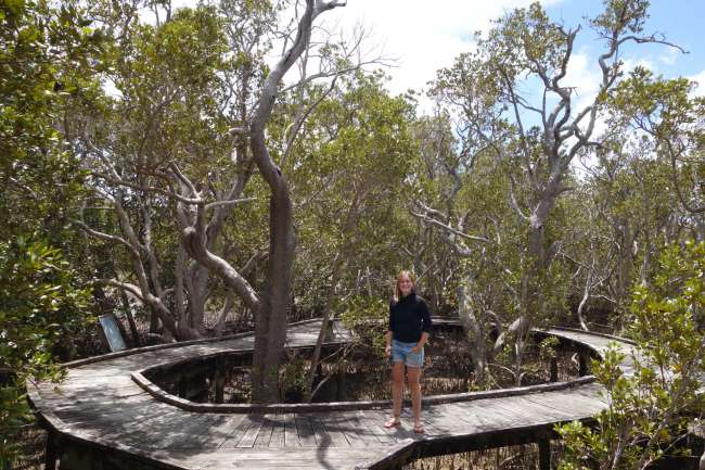
...and with a lovely mangrove boardwalk:


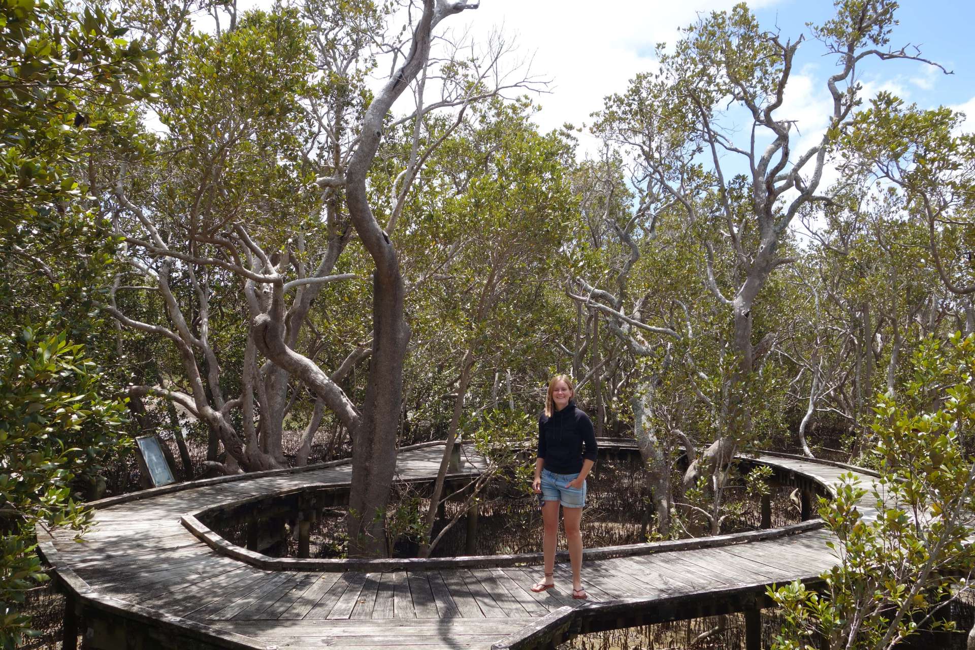
If you walk along the boardwalk during low tide (like we did), it smells a bit like rotten eggs due to the mud.
But it was still a nice walk!
************** Wairere Boulders Park ************
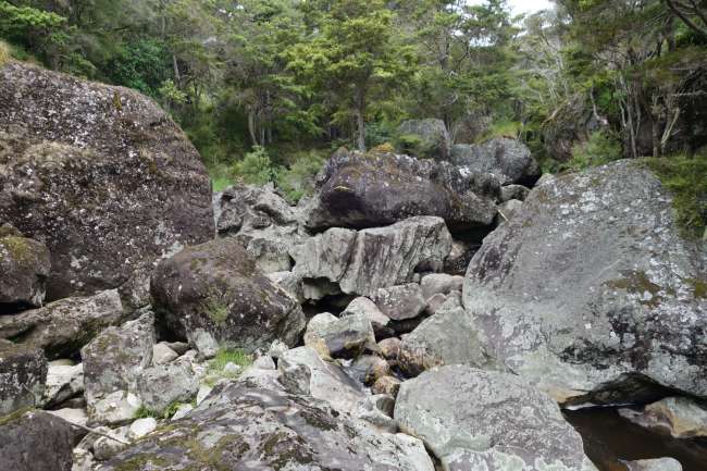
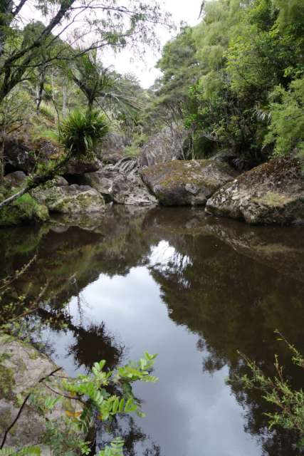
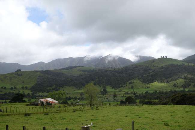
We made another detour to the Wairere Boulders Park. The owner, a Swiss man, is happy to explain everything about the unique features of the rocks. It's quite interesting for geology enthusiasts, as this is the only place in the world where eroded basalt is found. Besides that, it's a beautiful walk through stunning landscapes - although quite far off the beaten track.


*********** Arai-Te-Uru Recreation Reserve **********
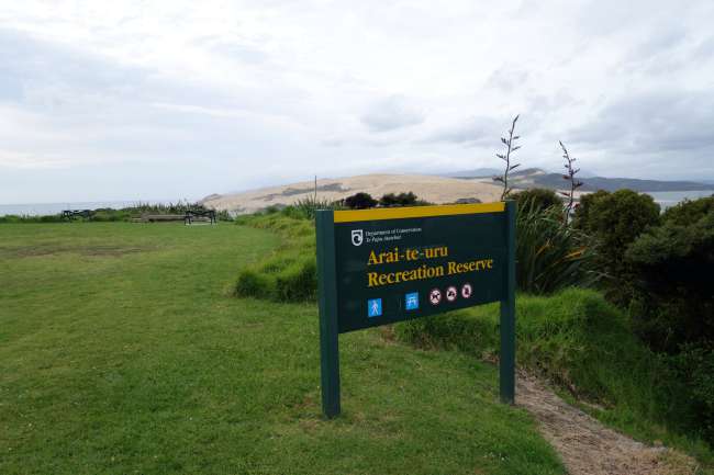
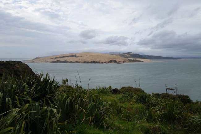
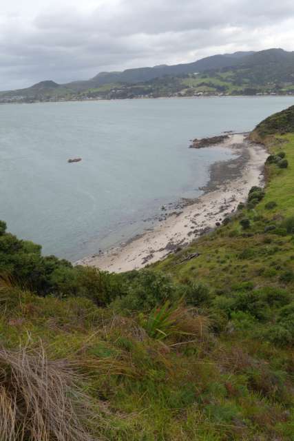
If you follow the Hokianga Harbour (the river delta with mangroves) back to the sea, you will end up at the Arai-Te-Uru Reserve. Although there are no signs explicitly stating 'camping allowed', there are also no signs saying 'no camping'. :) So we spent two nights in the company of a few other camper vans in the reserve's parking lot. It had been raining for those two days, and continuing our journey was pointless.
But the park where we stayed was very beautiful:

(The 'no camping' sign refers to BEHIND the sign, of course... *Ahem*)


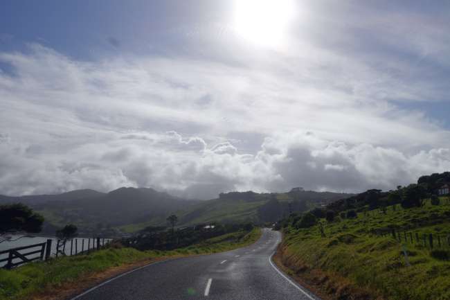
After the sky had finished crying for two days, there were only occasional showers and we were able to continue our journey:


Heading south step by step - first to:
************ Waipoua Kauri Forest *************
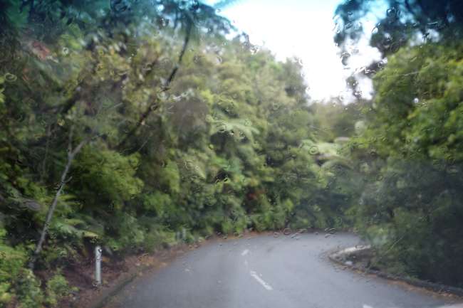
It was still raining a bit. A slightly annoyed view through our windshield:


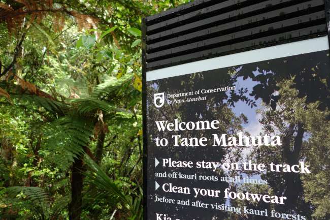
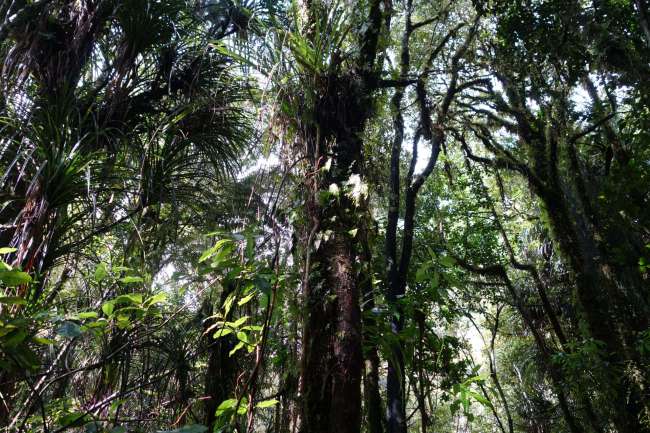
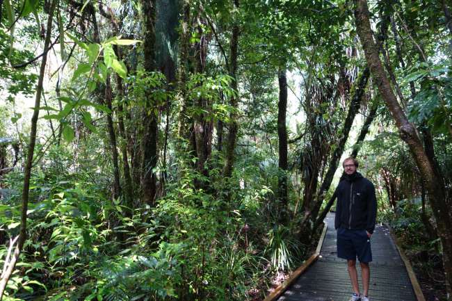
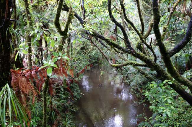
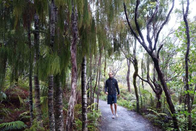
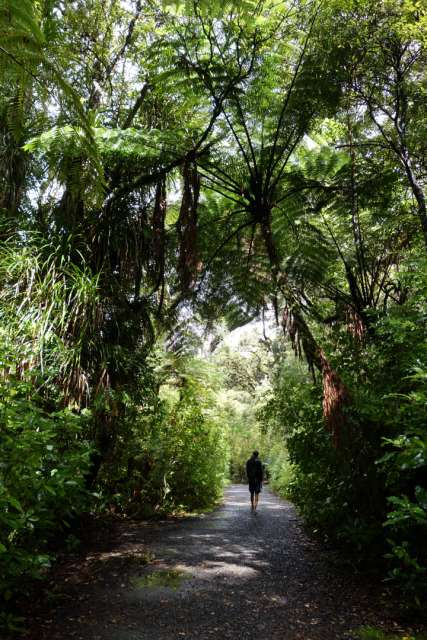
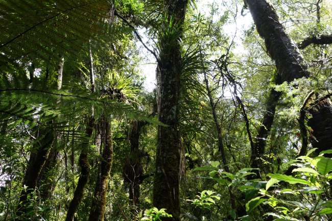
In the Waipoua Forest, there are a few walking tracks prepared for hiking enthusiasts - as is often the case in New Zealand. Here we are on our way to Tane Mahuta, the largest living kauri tree in New Zealand. The forest was already very beautiful to look at:


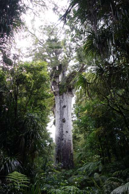
And there it is, the BIGGEST one in New Zealand, with a height of 51m and an almost 14m girth - quite a big boy:

We took this photo from a distance because the whole tree wouldn't fit in the frame otherwise. Thankfully, the workers at the national park cleared a pathway through the forest specifically for taking photos, it seems.
If you want to know more about the largest Kauri tree, check out Wikipedia: https://en.wikipedia.org/wiki/T%C4%81ne_Mahuta
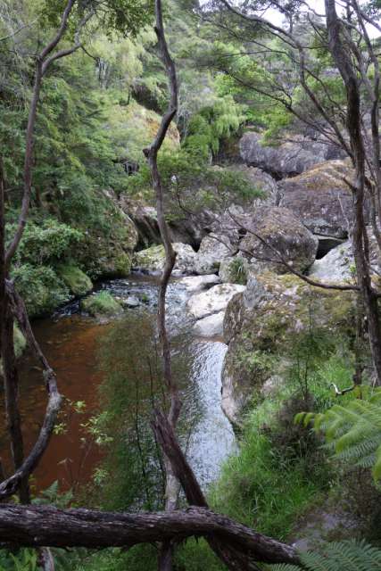
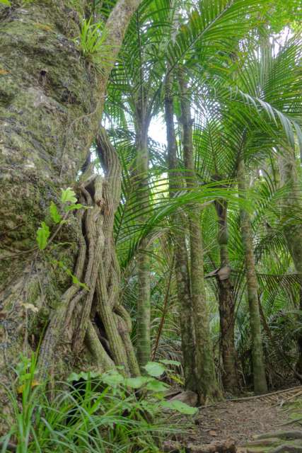
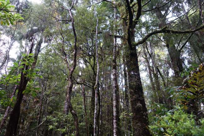
A short distance further down the road, there were a few more walking trails through the forest. The landscape was really primordial:


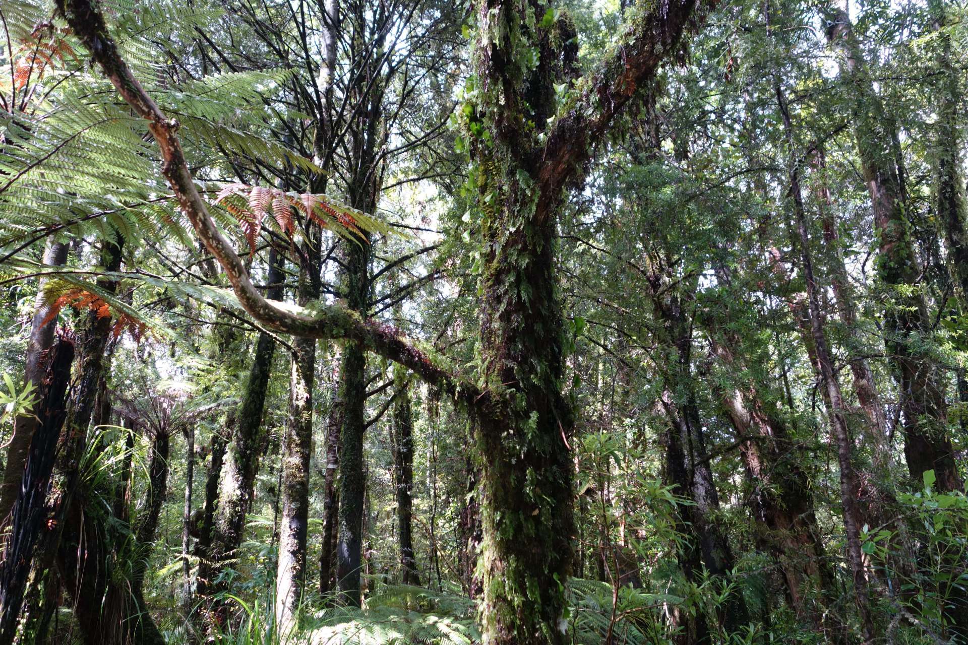

(Okay, it looks a bit bigger in this photo than it actually is, due to the favorable angle... but they don't call them 'tree ferns' for nothing.)
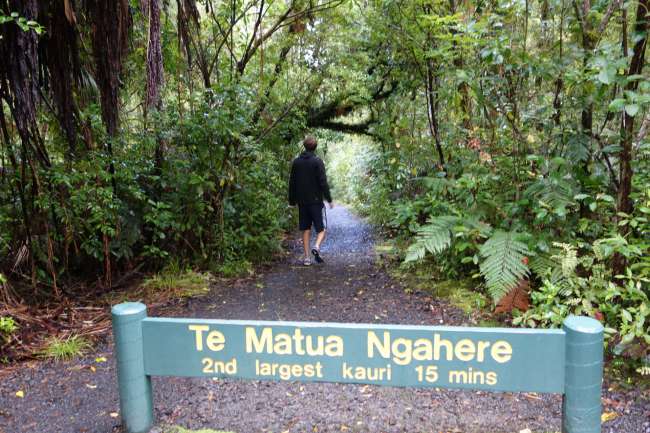
The goal of this second walking trail was:
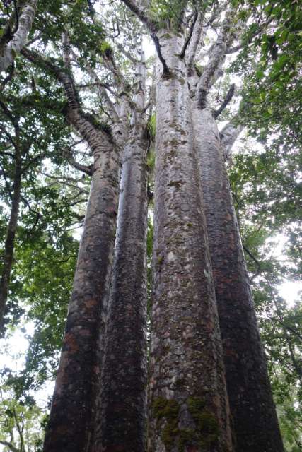
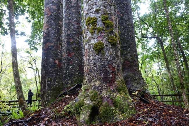
The 'four sisters'

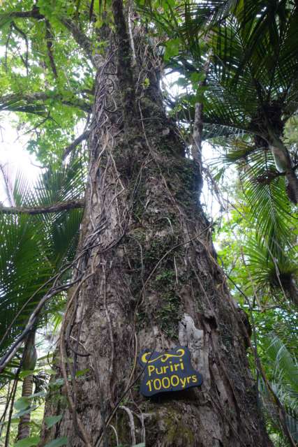
They may not be the tallest or oldest Kauri trees, but they are the only ones that grow so close together. It looked quite impressive!


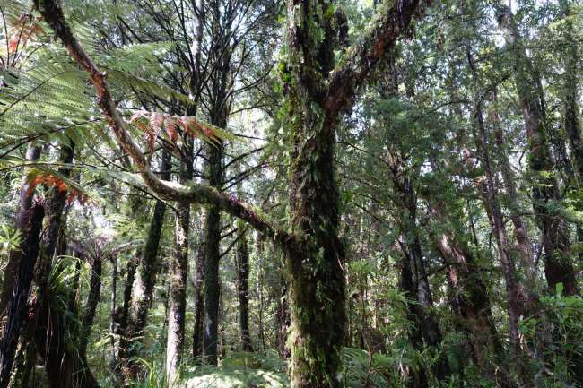
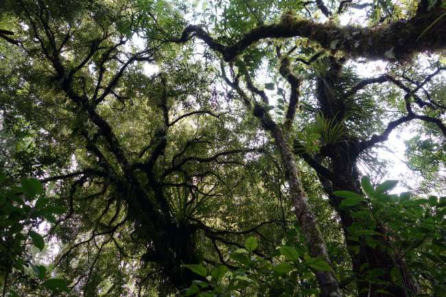
And more forest:


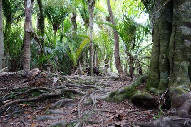
Quirky trees!
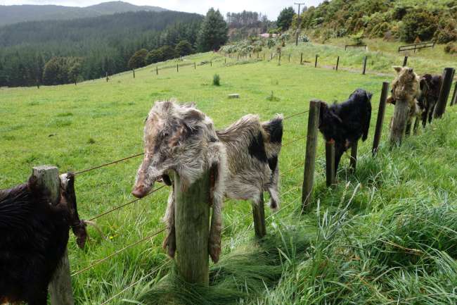
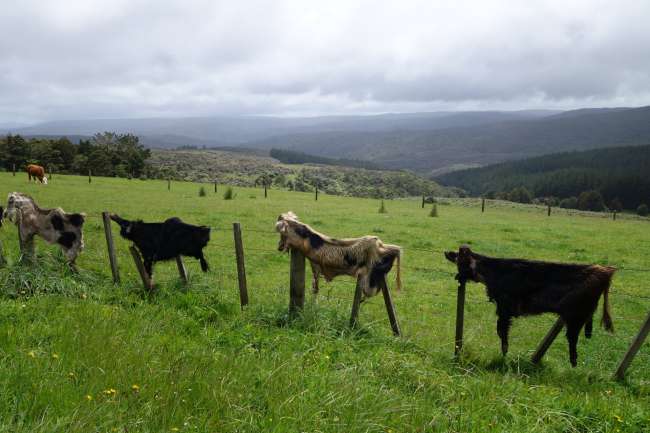
You could also call this interesting fence decoration that we've seen a few times along the road 'quirky' as well:

(Looks like pig and goat skin.)

************* Lake Taharoa **************
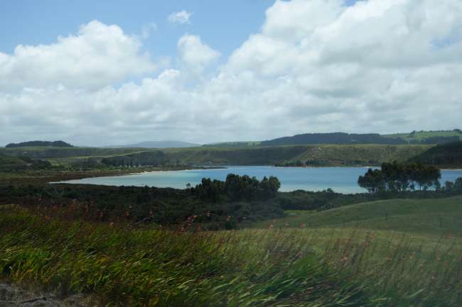
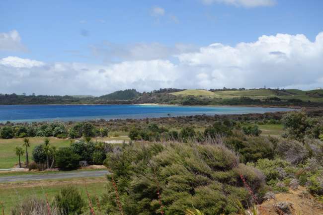
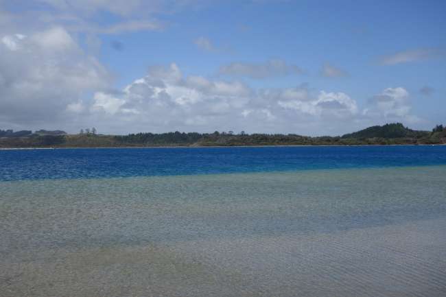
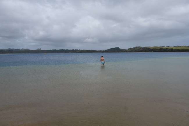
A change of scenery: just before Dargaville, there are a few small lakes that you wouldn't expect between the forests and fields, unless you were told by friends (or travel guides) that it's beautiful there:

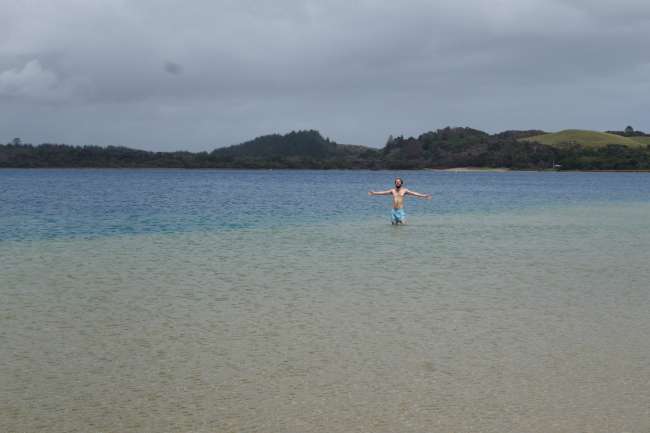
Deep blue, crystal clear water! Wow!

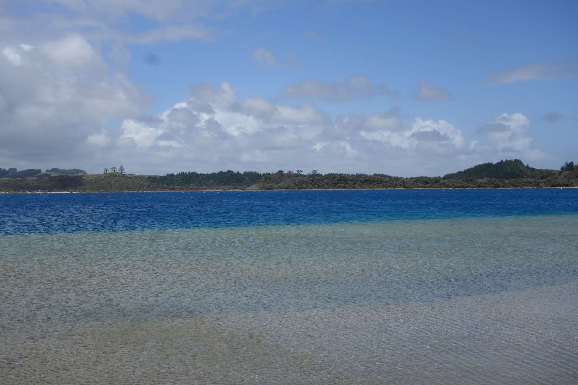
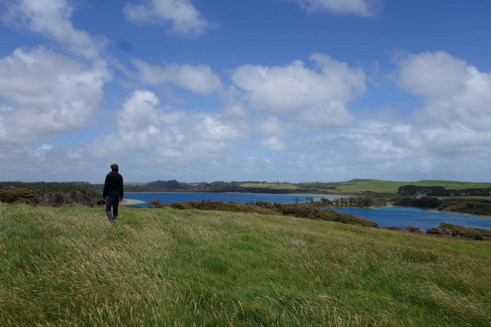

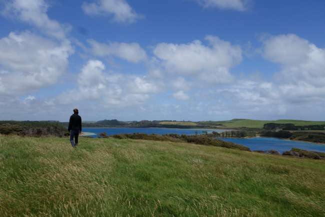
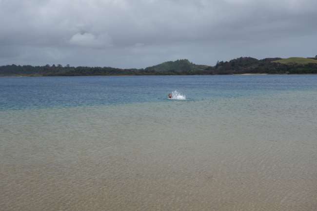
Viking Hannes dares to go into the water again!!! And yep, the water is still verrrrry cold.


(Too bad someone had to take the photos and couldn't splash around in the cold lake.......)
By the way, we don't plan to spend much time on the west coast south of Dargaville, as all travelers and locals say it's not nice there. So, this is the last new stop north of Auckland, in the 'Northland':
************* Dargaville ************
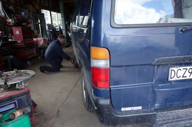
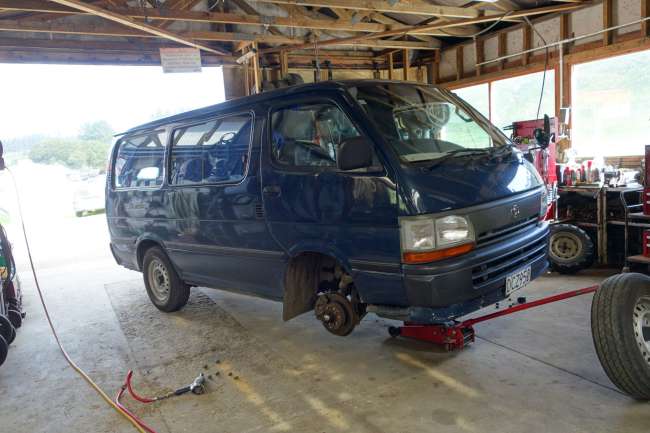
Dargaville is not a particularly beautiful town and you don't really need to come here. There's not much to report about it, except that our van got NEW SHOES!!
At a petrol station with a small automotive workshop, we wanted to have the tire pressure checked, and the mechanic confirmed our suspicion that the tires were quite worn down... and it just so happened that he had tires in our exact size in stock. Cheaper than elsewhere, of course. ;)
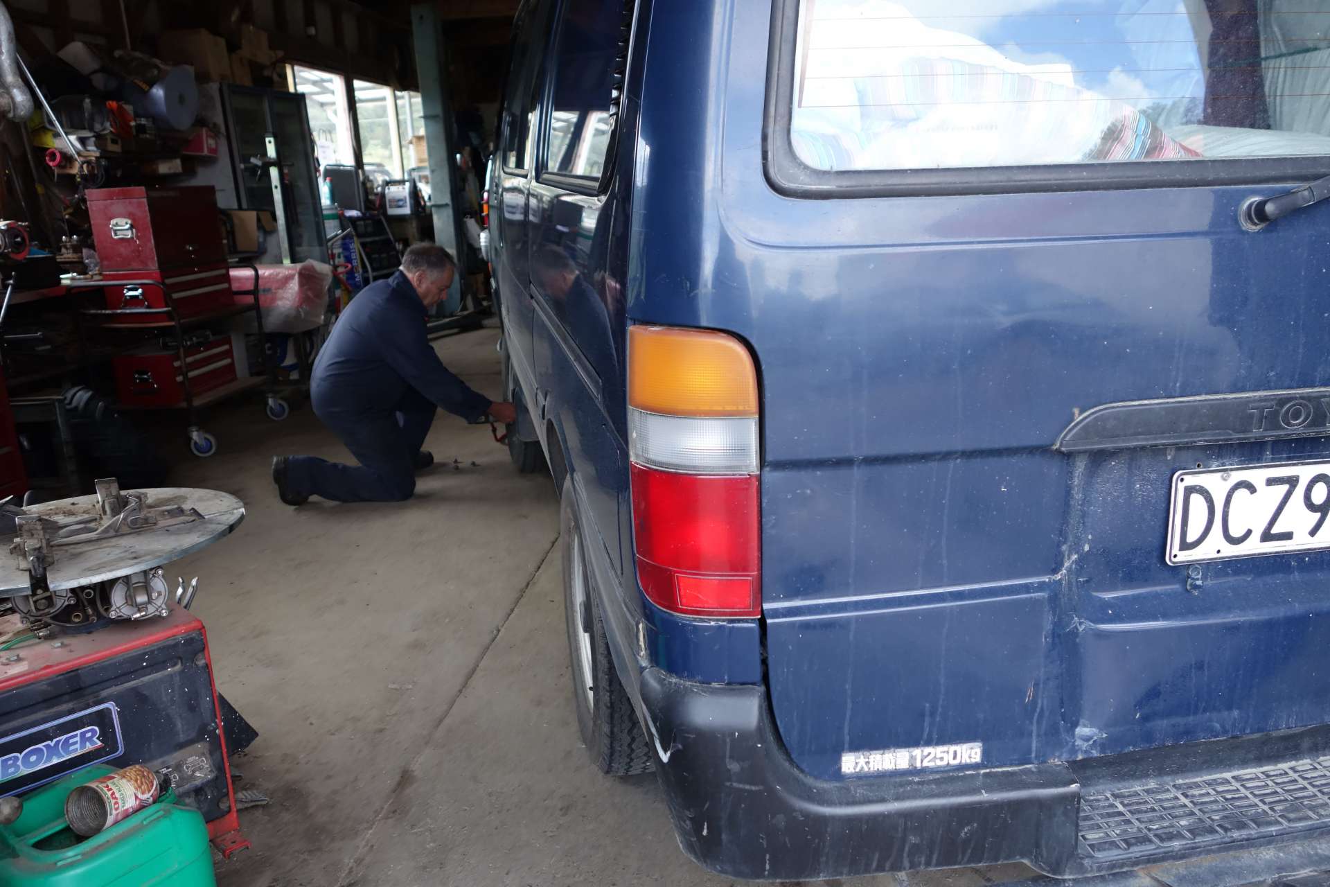

With fresh soles (and a more secure feeling on the gravel roads), we can now continue our journey. (You actually do feel better, even if it's more psychological...)
We're going to spend the weekend on the east coast in Kerikeri with Evan and Sarah, and then we'll drive (past Auckland again) to new territories: right in the heart of the North Island.
Until then!!!
HanNZette.
สมัครรับจดหมายข่าว
คำตอบ
รายงานการเดินทาง นิวซีแลนด์
