Day 8 - Catlins 2.0
ที่ตีพิมพ์: 07.02.2020


สมัครรับจดหมายข่าว
After waking up, the first thing I do is check the website where road closures are documented, and according to the provider, everything SHOULD be open again.
So I decide to give it a try and drive into the Catlins. However, it turns out that the road closure is still in place and the road ends in a lake. But giving up is not an option: On the map I received in Oweka, there are also gravel roads included: So I start my second attempt through Wyndham.
Here, the road closure is lifted and you can see the damage caused by the water: the asphalt is completely beside the road and the road surface needs to be renewed.
After about 15 km of gravel roads, I manage to reach the Southern Scenic Road.
First, I want to go to the Cathedral Caves, as it is low tide and they are only accessible then. Unfortunately, the entrance is closed with the note "Closed until further notice" - great!
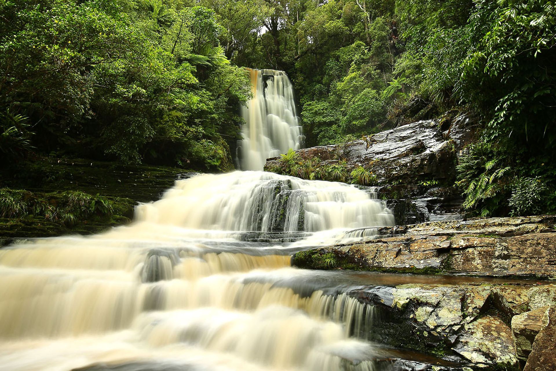
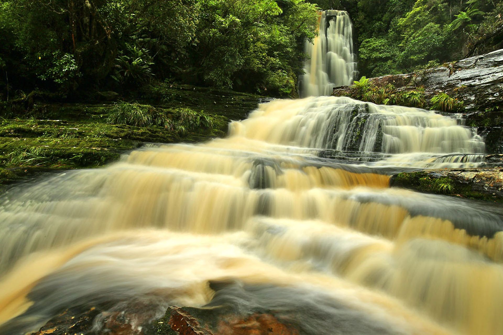
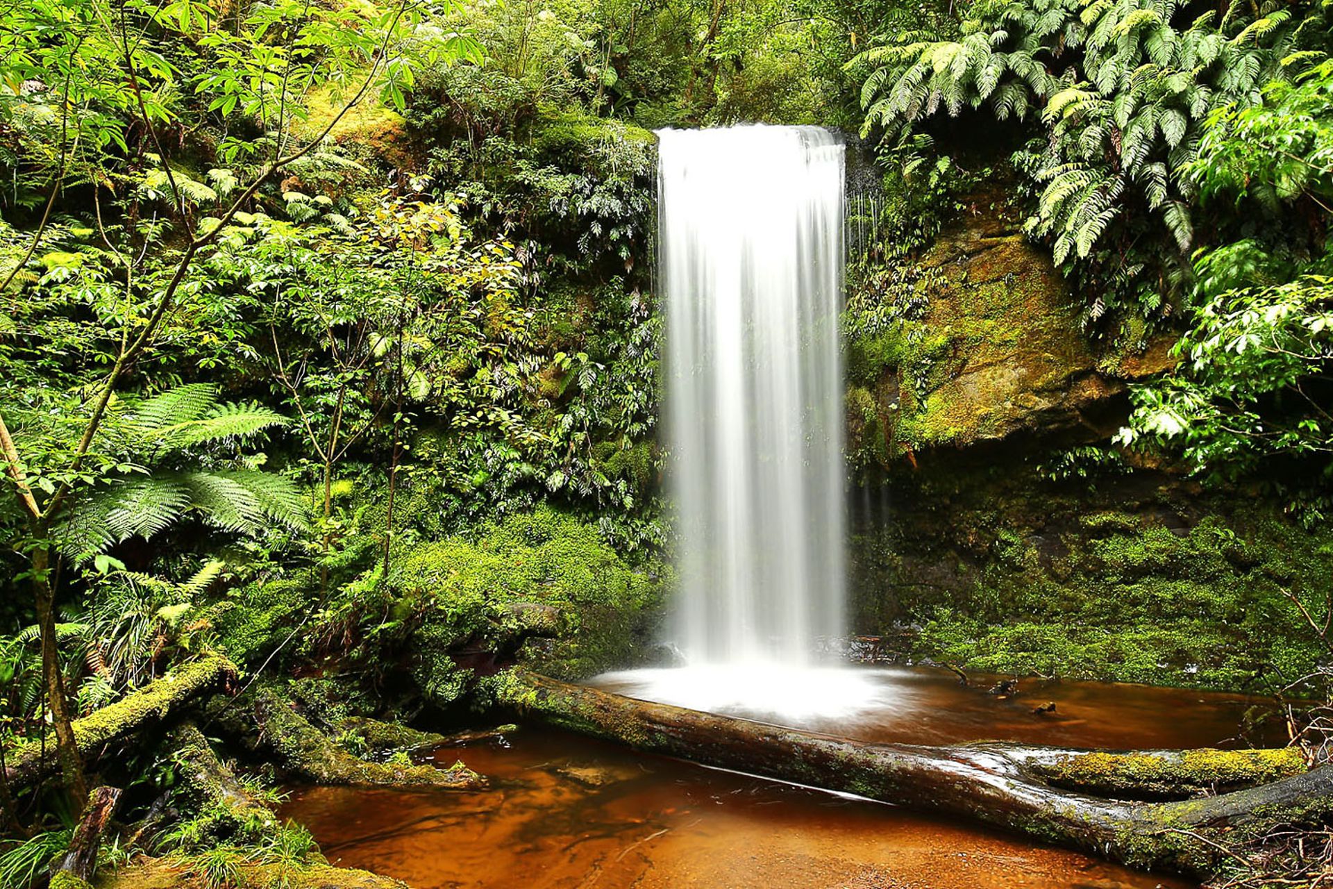
Then I continue to McLean Falls. The visitor parking lot is completely empty. As with all the waterfalls I've visited so far, I hardly meet anyone. I find the falls themselves to be the most impressive.
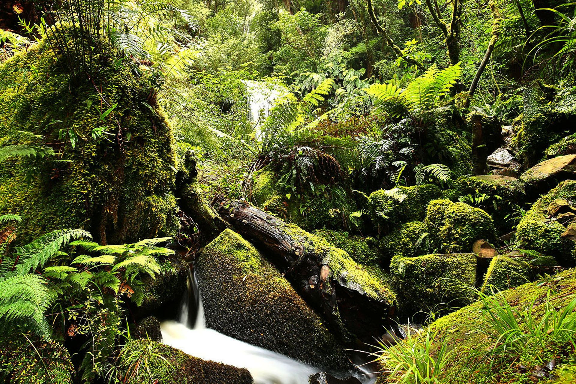
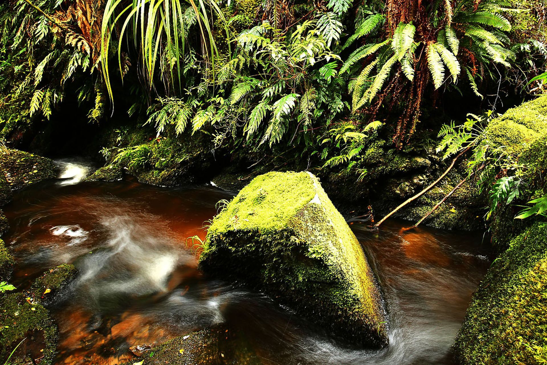
Next, I go to Koropuku Falls. The start of the trail is easy to overlook, as there is only a small pull-off and a wooden sign pointing to it. The path to the falls is very interesting. Not a wide path like the others, but a winding path built with small logs as the base. The waterfall itself is not as spectacular, but the way here was worth it.
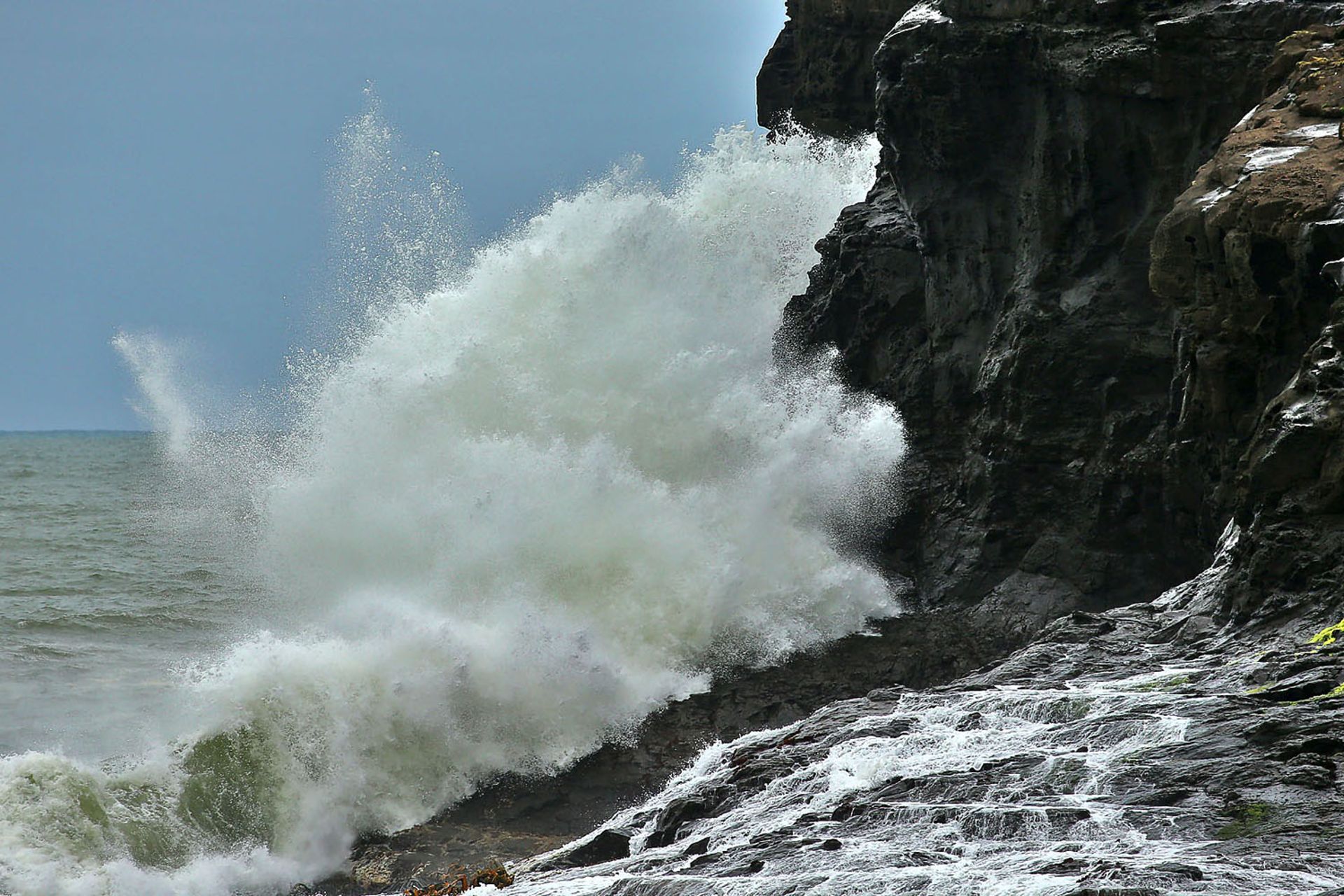
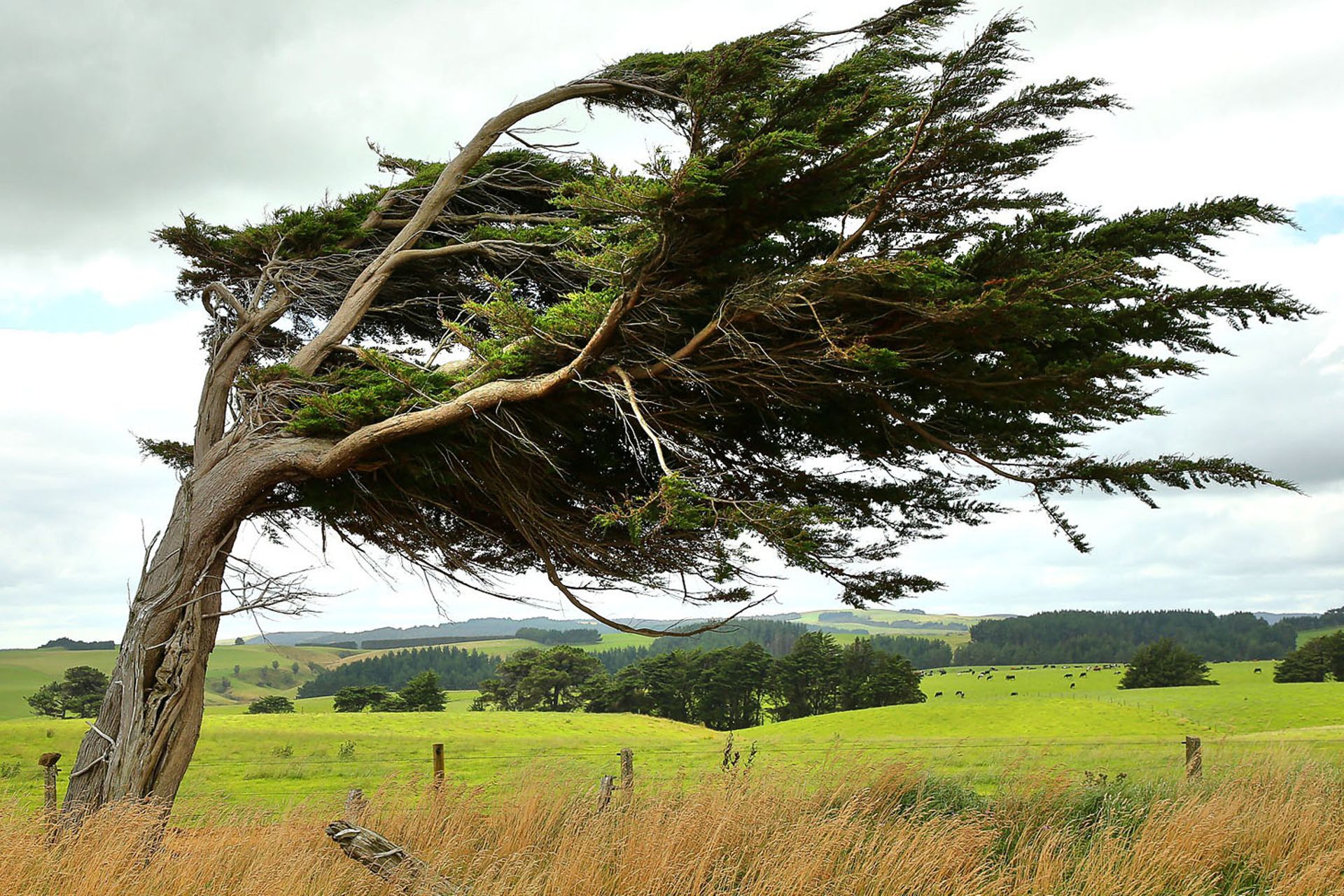
Now I'm heading to Curio Bay with its petrified tree trunks. As expected, there are no penguins to be seen, but the waves here are quite impressive.
Next, I'm heading to the southernmost point of the South Island: Slope Point. After a short walk from the parking lot, I stand in front of a small signpost, nothing really spectacular. So, why come here? Just to be able to say for yourself: "I have been to the southernmost and northernmost points of New Zealand and have therefore crossed New Zealand completely" (Editor's note: I was at the northernmost point, Cape Reinga, two years ago).
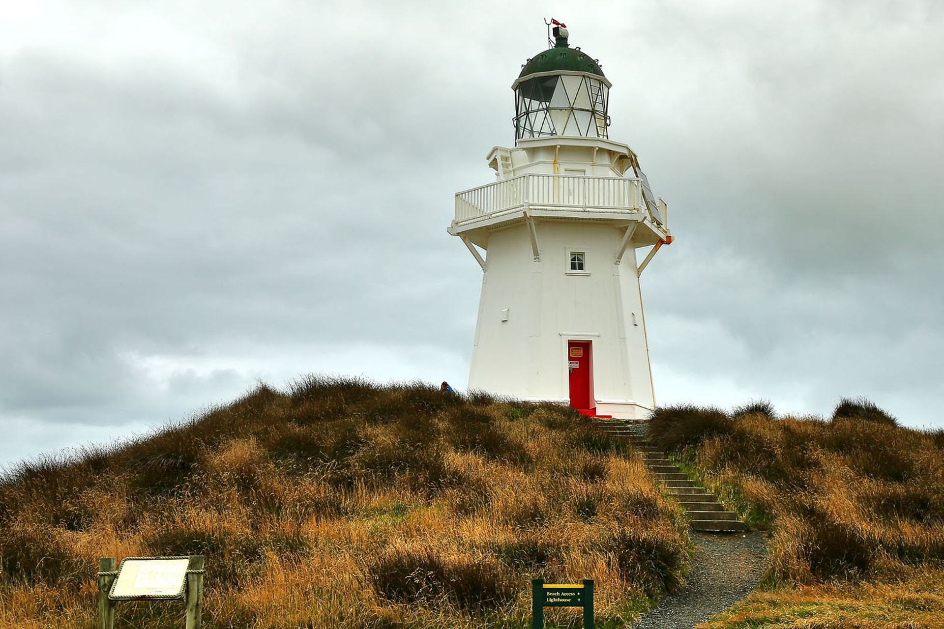
Finally, I go to the Waipapa Point Lighthouse and then comes the exciting part: How do I get to Te Anau now? Either there is a way out of the Catlins at Fortrose or I have to go back the way I came this morning. In Fortrose, the road is still closed, but there is only a rope stretched across the road, no signs, nothing! But with the help of the map, I find a gravel road that eventually leads me back to Wyndham:
Catlins, you didn't make it easy for me.
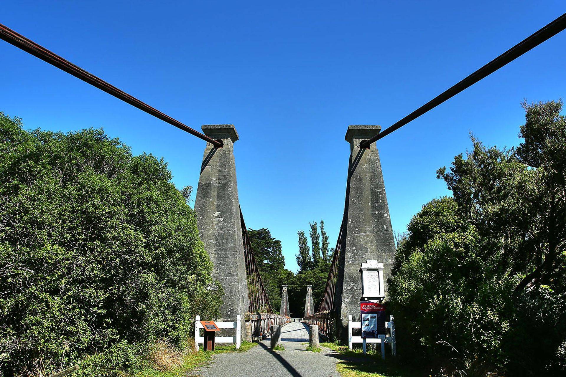
After a quick refueling, I continue towards Riverton and after a short stop at Monkey Island Beach and the Clifden Suspension Bridge, I arrive in Te Anau in beautiful weather.
Since I stayed at the same motel during my last visit, I know that there is a BBQ grill here. So, off to the supermarket to buy a nice steak and some salad. Then I heat up the grill plate in the motel and cook the meat medium - delicious :-D.
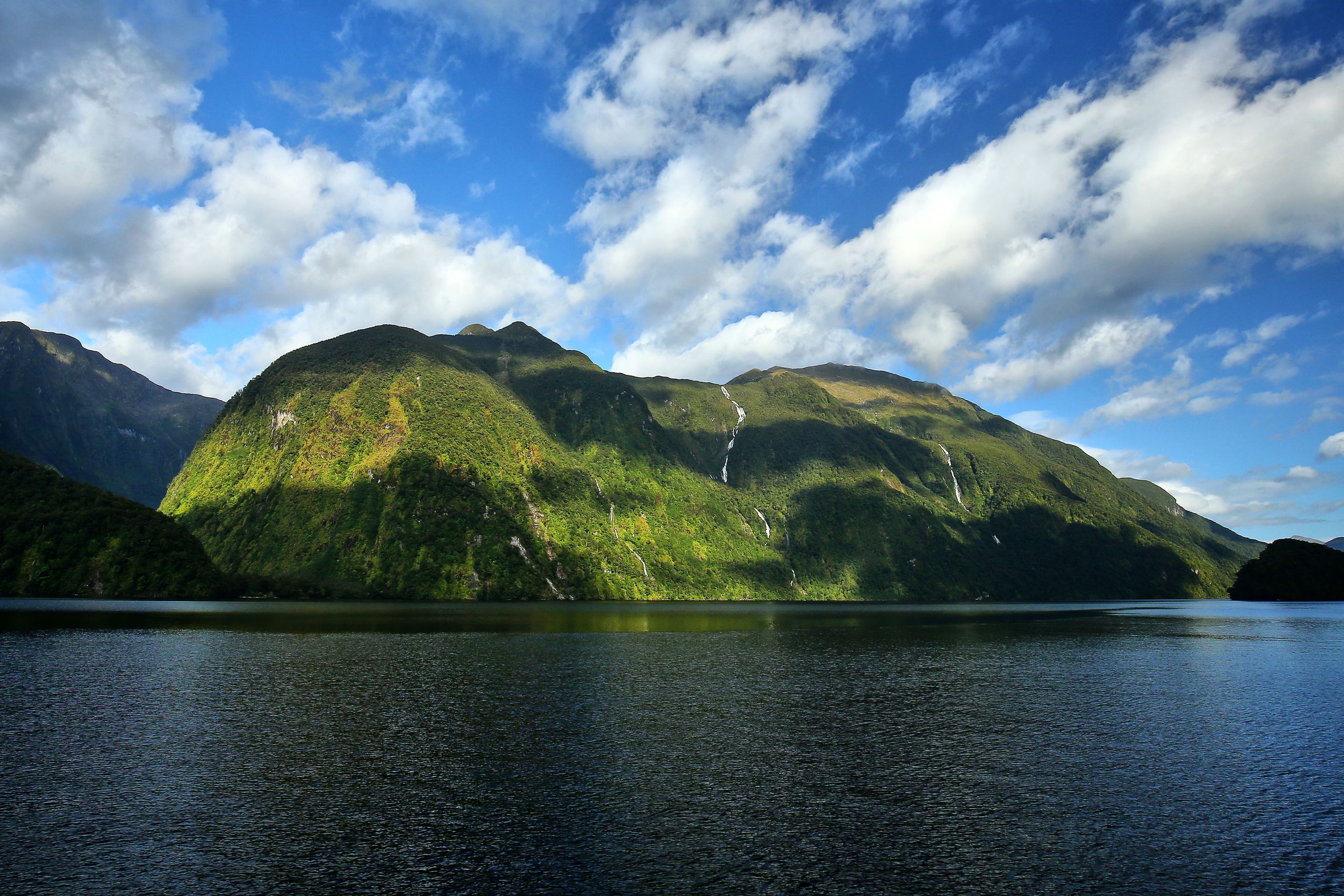
I'm enjoying a cozy evening; tomorrow I'm going to Doubtful Sound.
สมัครรับจดหมายข่าว
คำตอบ