Bolivia - La Paz and Yungas in Coroico

ที่ตีพิมพ์: 09.07.2018

First things first. Whoever manages to leave a comment here or in another post will receive a personal postcard. :-D

La Paz

The panorama provides a good impression of the city structure.
And from the other side.

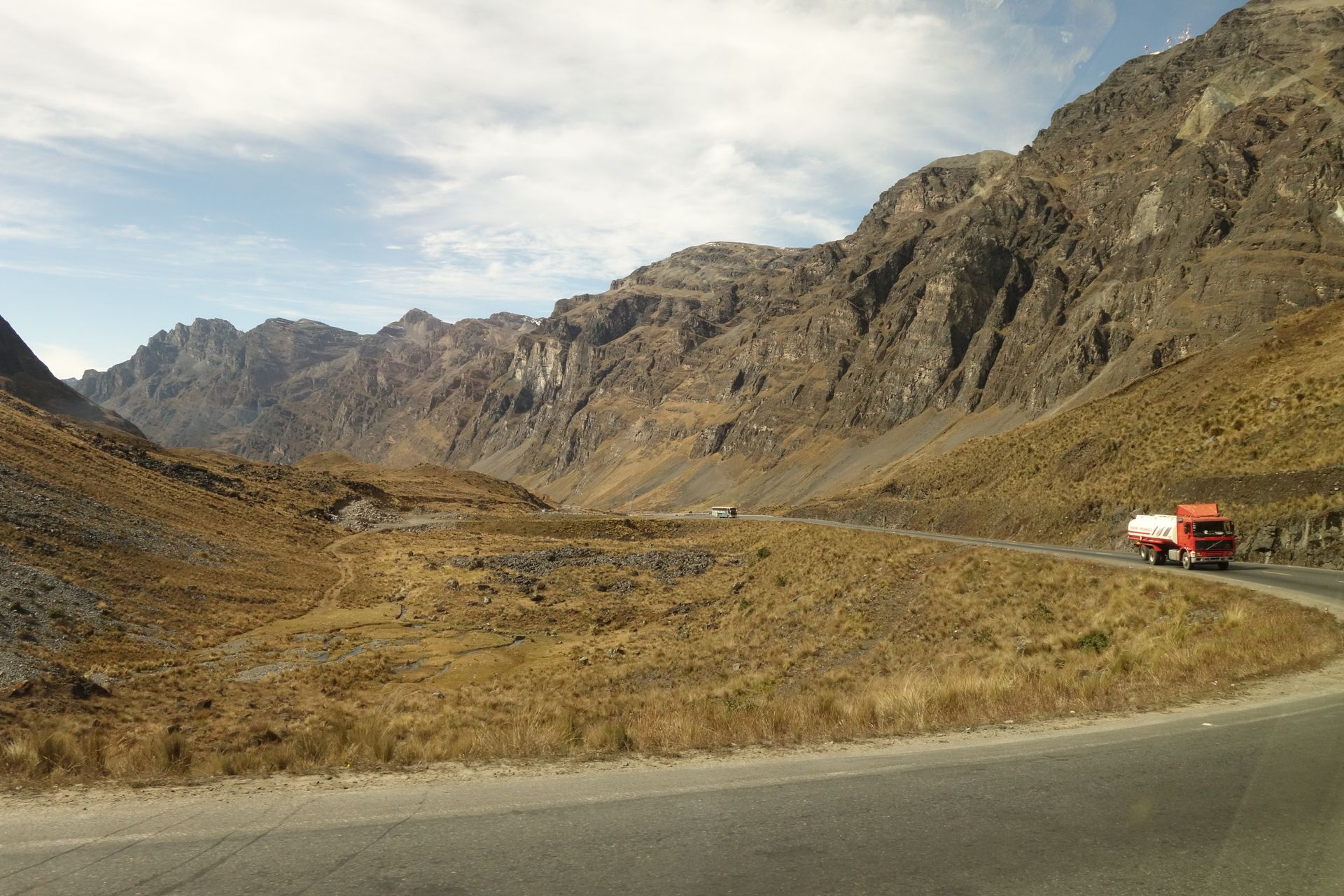
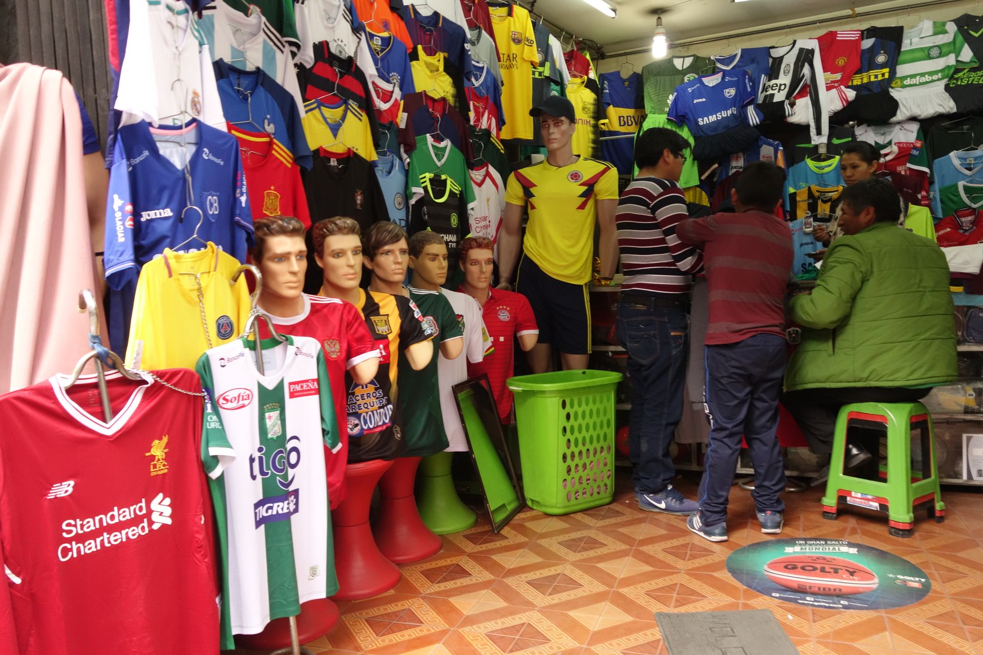
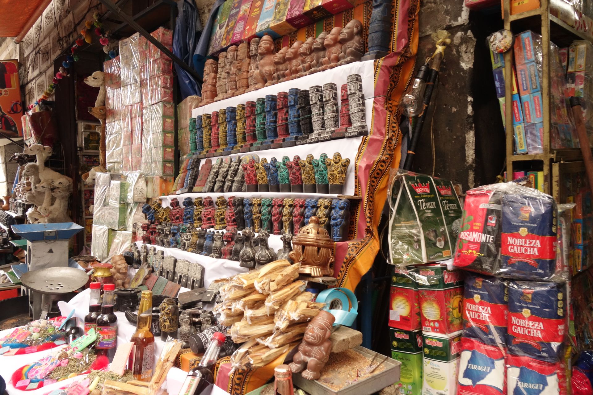
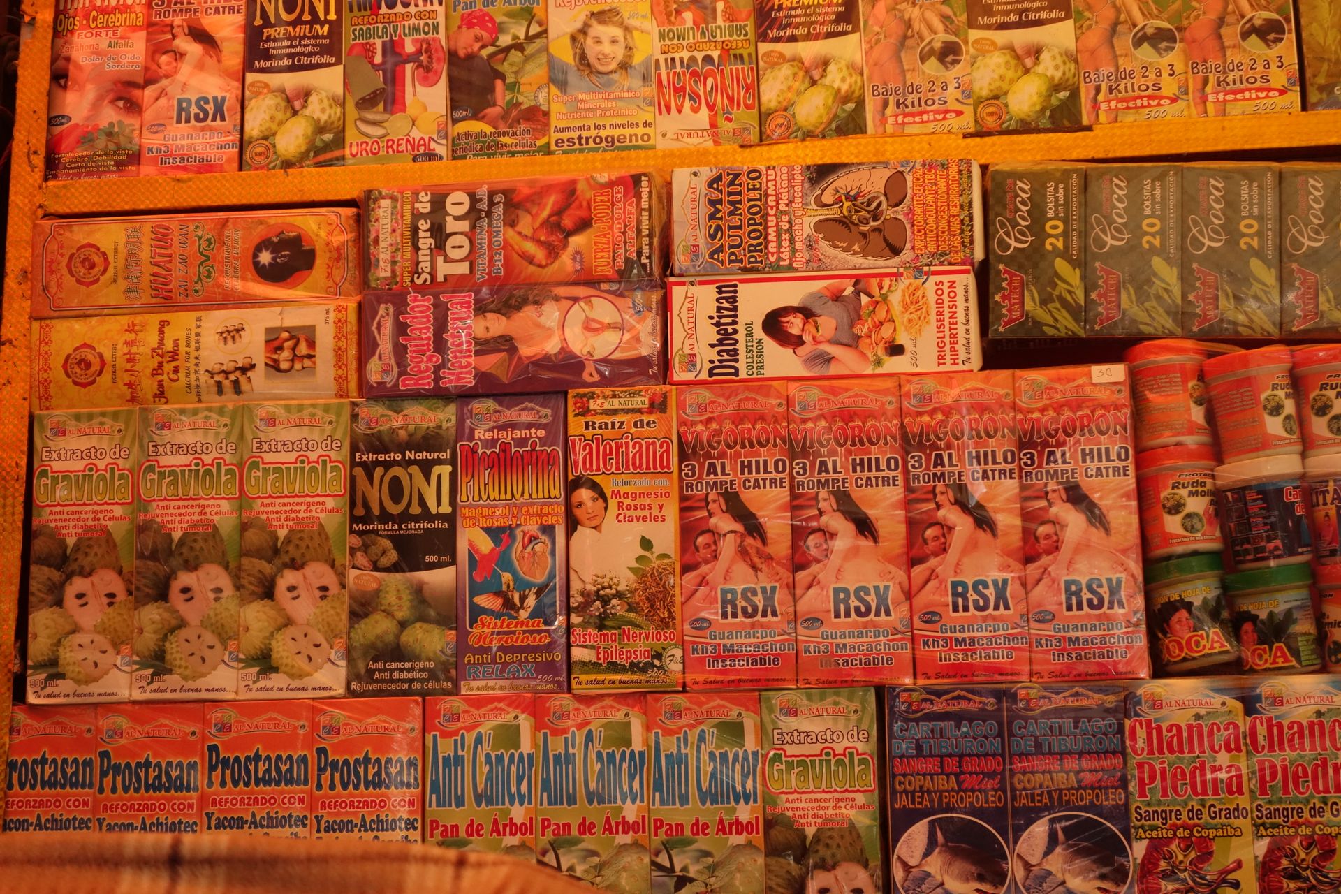
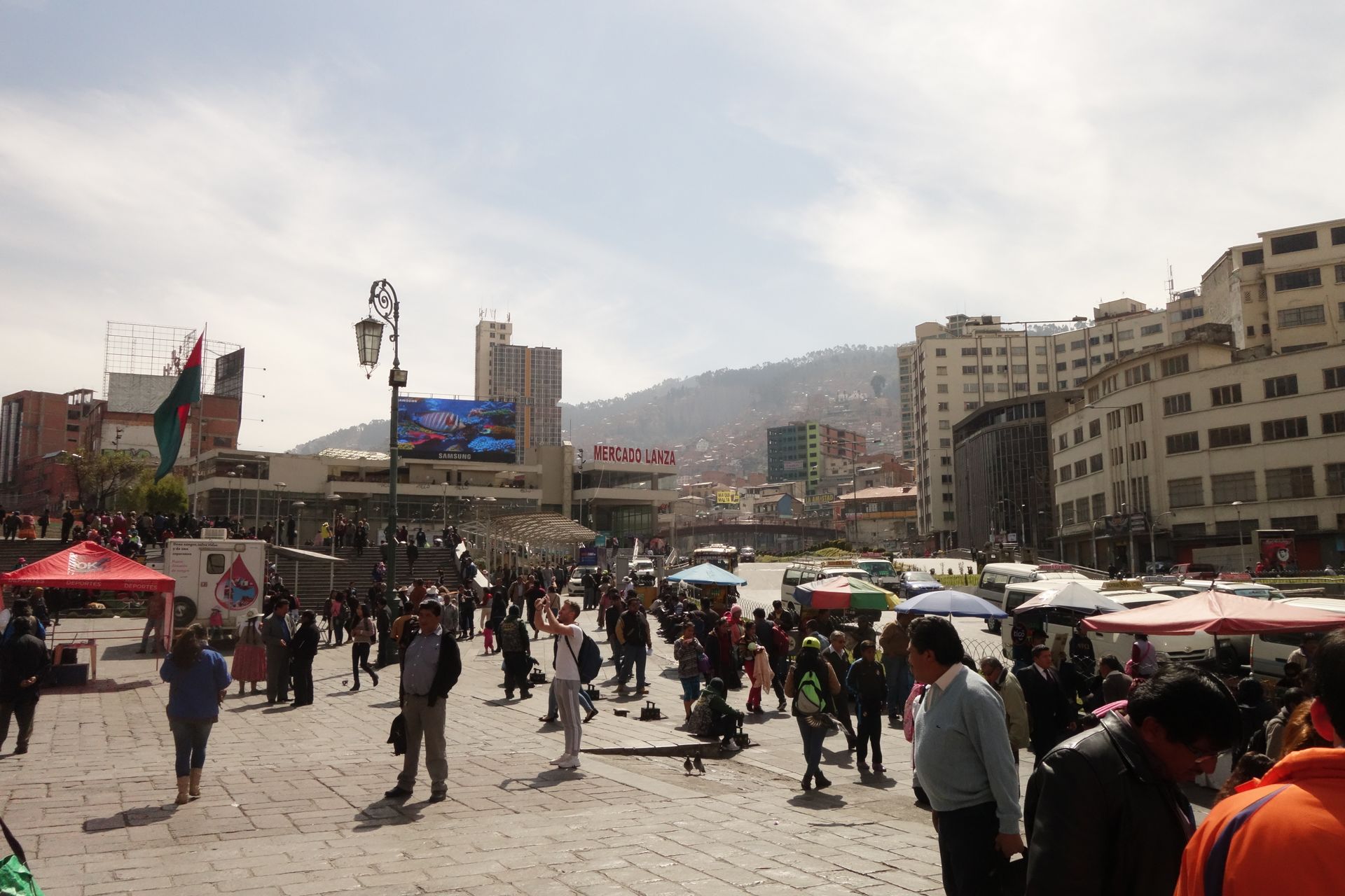
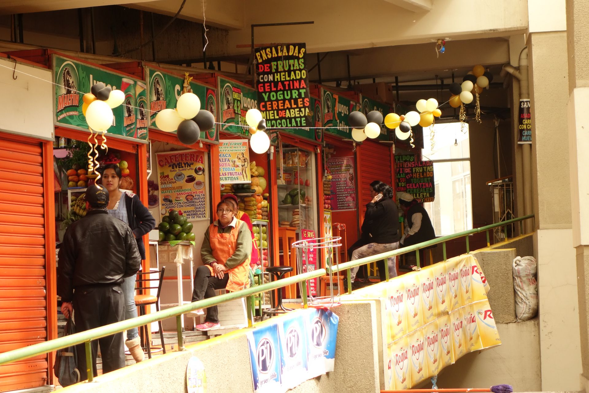
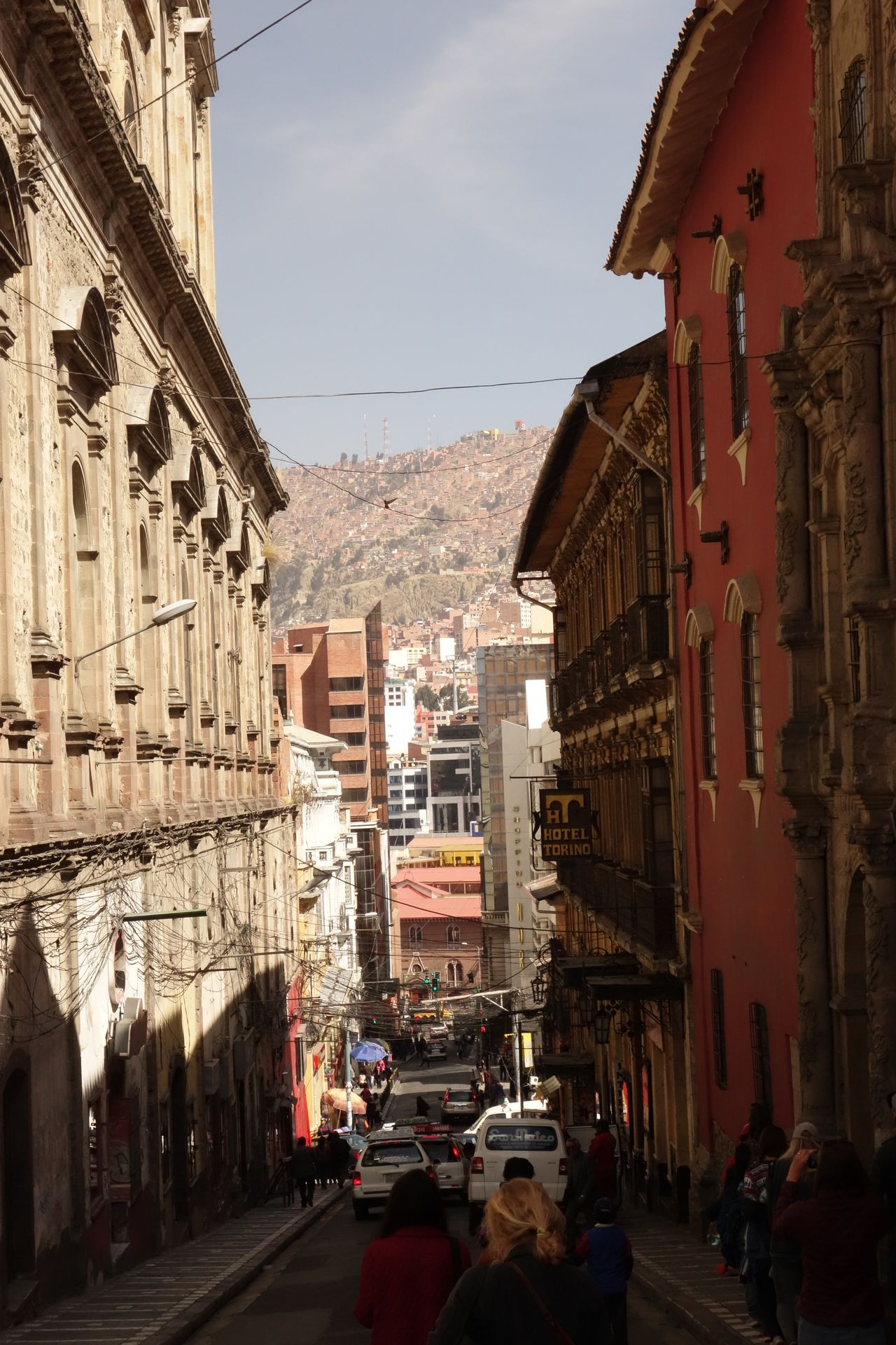
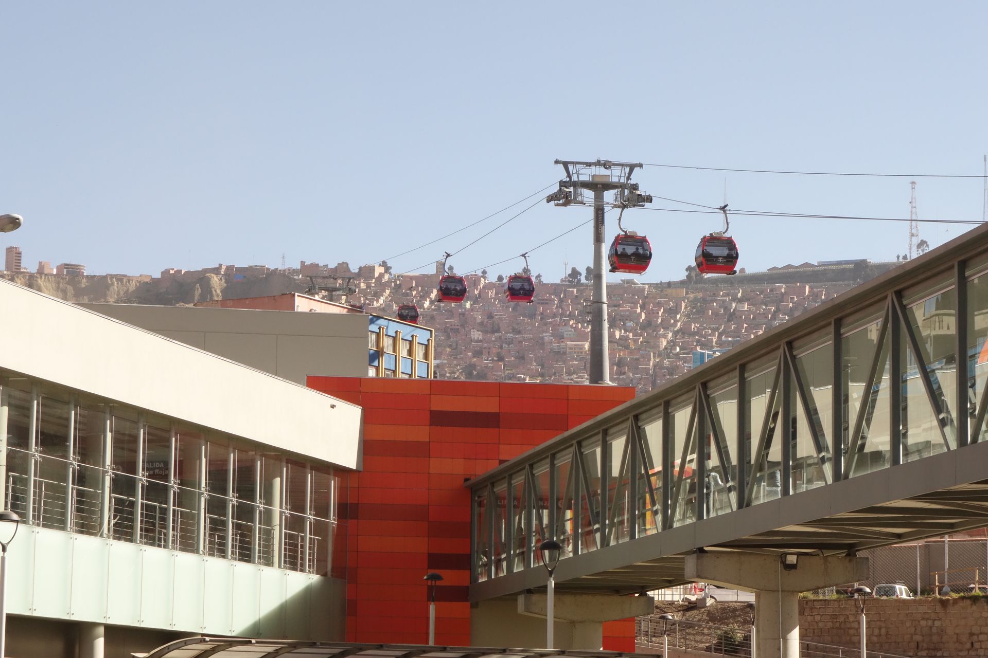
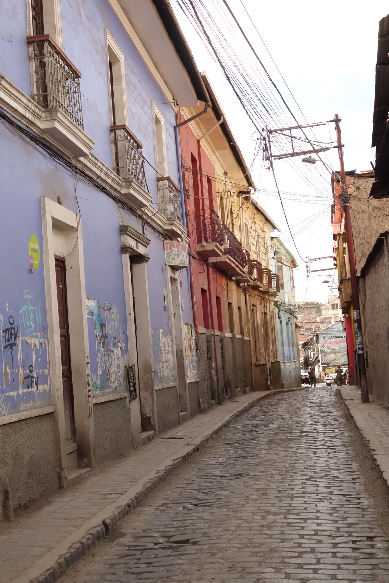
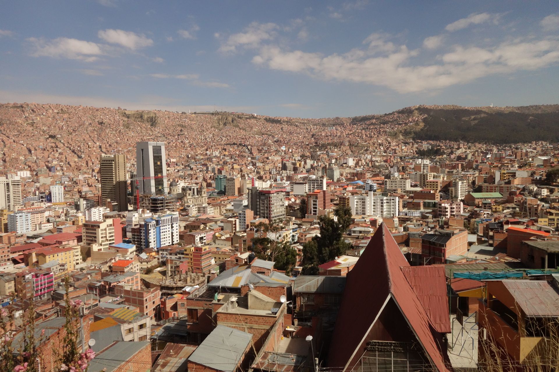
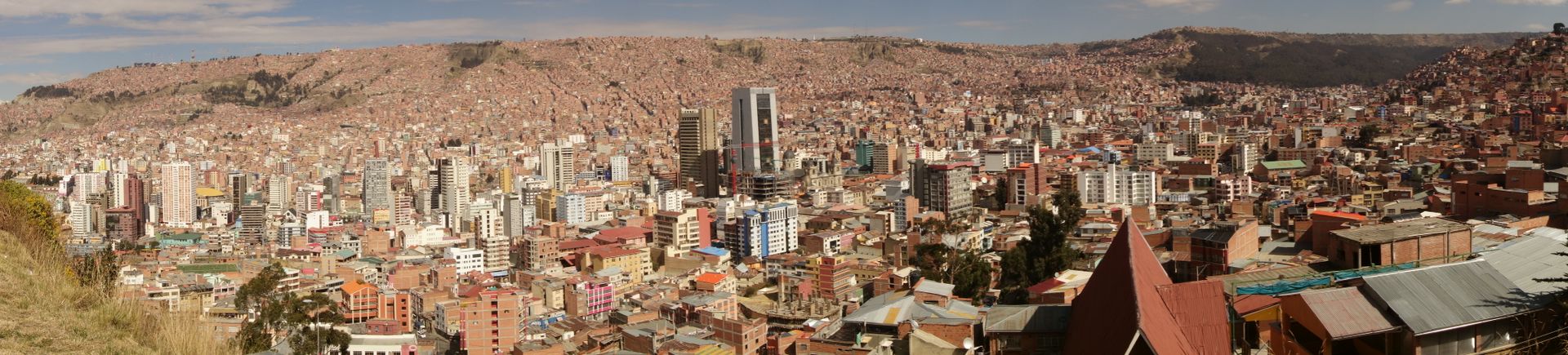
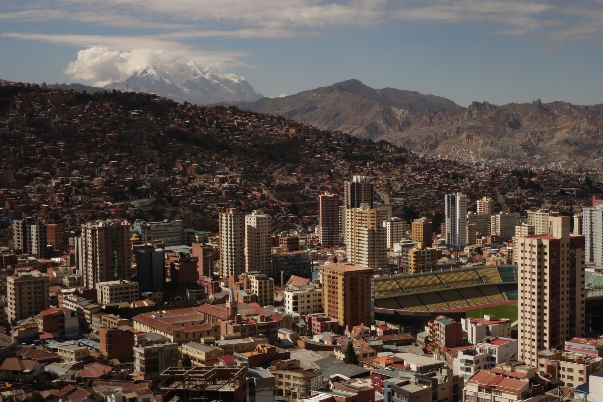
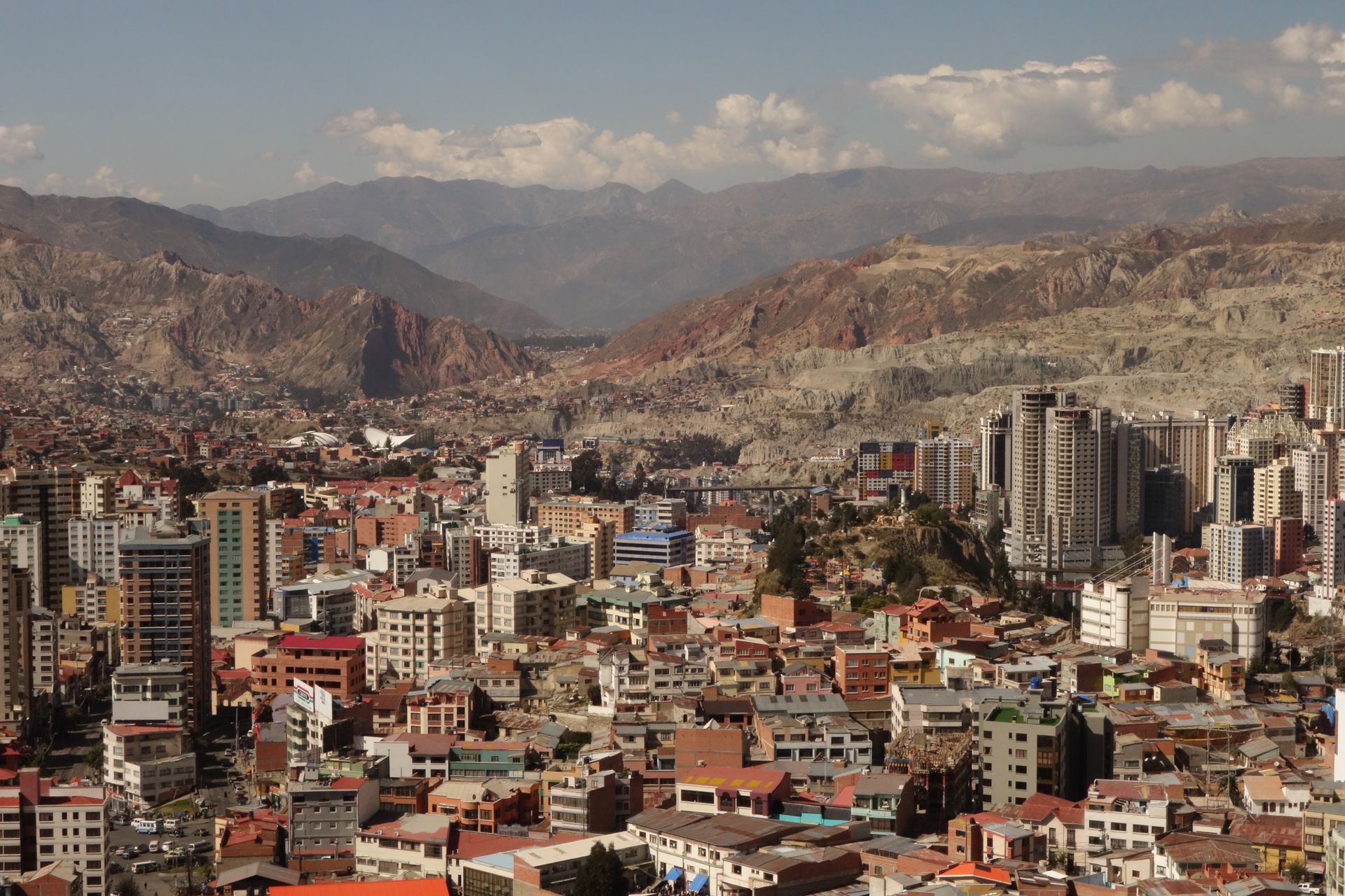
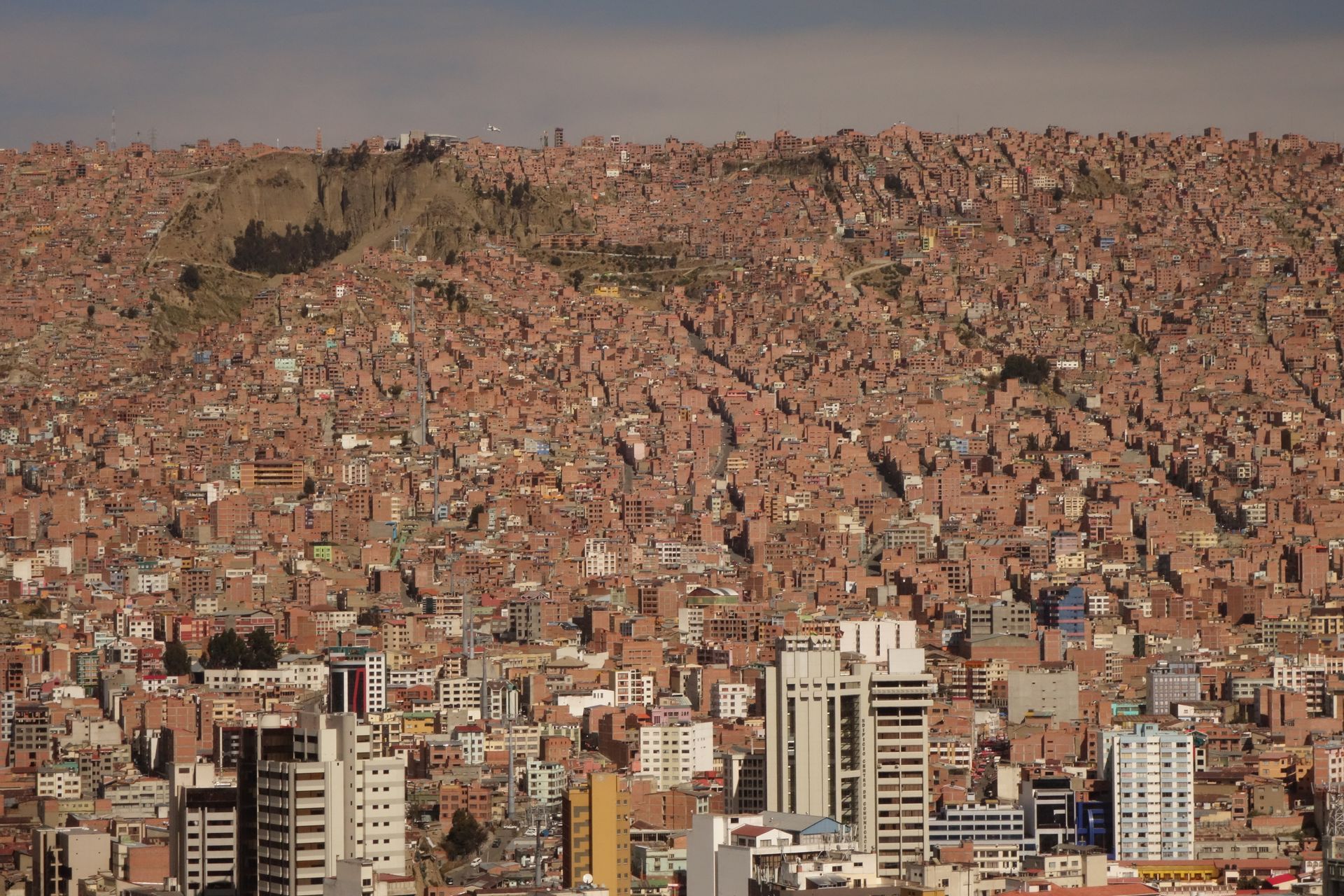
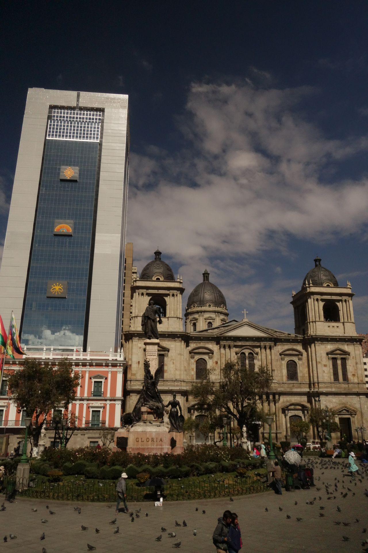
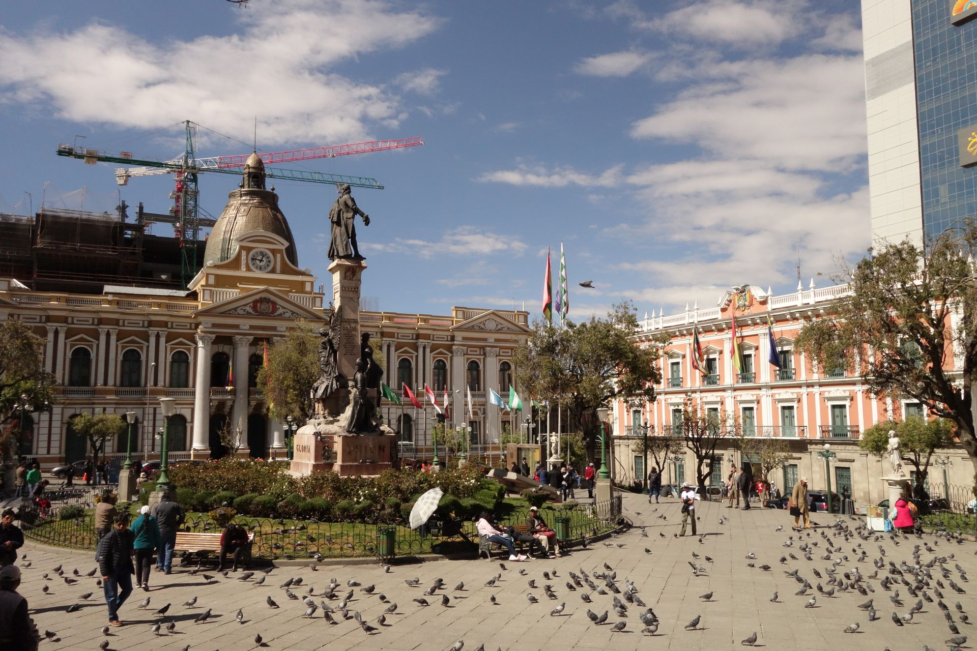
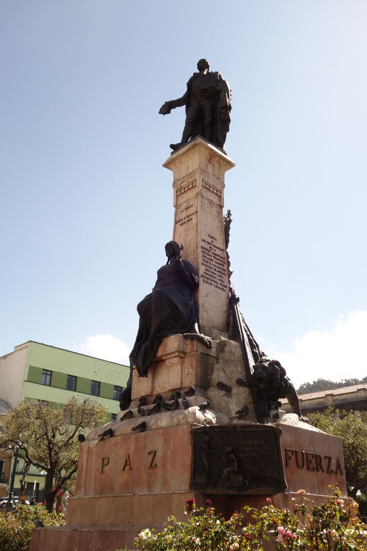
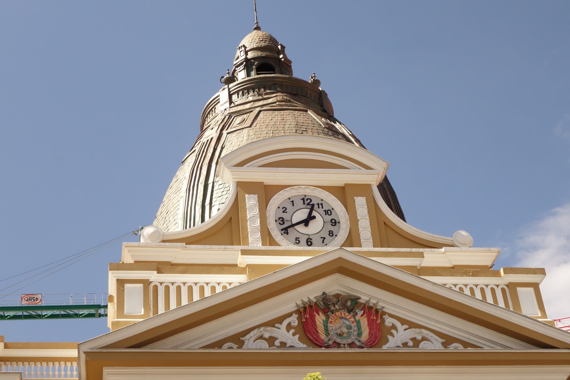
After successfully crossing Lake Titicaca by bus, we quickly arrived in La Paz. The city is located impressively in a huge basin that you enter from above. The city center with its many skyscrapers is located at the bottom in the middle of the basin. This means that you constantly see the built-up slopes all around and behind them the snow-capped peaks of the Andes - or Cordillera Real. La Paz is surprisingly modern and tidy compared to the other major cities in South America. But in the end, it's just like any other big city. Therefore, I didn't stay there for long. I watched some World Cup football, wrote the blog, took a city tour, and used the main highlight - the cable cars. These are the typical gondola lifts that you know from ski resorts, only here they go across the city. They connect the lower (better) areas with the higher (poorer) areas. This is a successful urban design that relieves traffic on the streets and simplifies transportation through the city - and at affordable prices. And at the same time, it's also a tourist attraction. The traffic in the city is still immense, of course, but apparently better than before.

You can buy everything in La Paz.
Especially unusual things at the witch market.
San Francisco Church in Mestizo style.
Indoor market. You get shouted at from all sides to buy freshly squeezed juice. Since the shops next to each other always offer the same things, it
Indoor market. You get shouted at from all sides to buy freshly squeezed juice. Since the shops next to each other always offer the same things, it's a big competition. Of course, this is the same for all other products. And the things are very tasty and good.
Here you can get a good impression of how high the outskirts of La Paz really are. At the top edge, the huge upper city - El Alto - begins.
Like in a ski resort.
The huge central cemetery. Each small chamber is a grave.
View of the basin.
View of the basin.
In the background, the mighty Illimani. Symbol of La Paz.
Selfie with Illimani.
Impressive what they build on the slopes.
You can still find some old streets.
The oldest street Jaen.
The historically most important Plaza Murillo - you could also call it Pigeon Square.
The bullet holes from 2003 are not supposed to be closed. As a reminder of the dead when police and military shot across the square.
As always, historical buildings are dominated by bank palaces.
The clock runs backwards. I already forgot the story behind it.


Coroico - Yungas

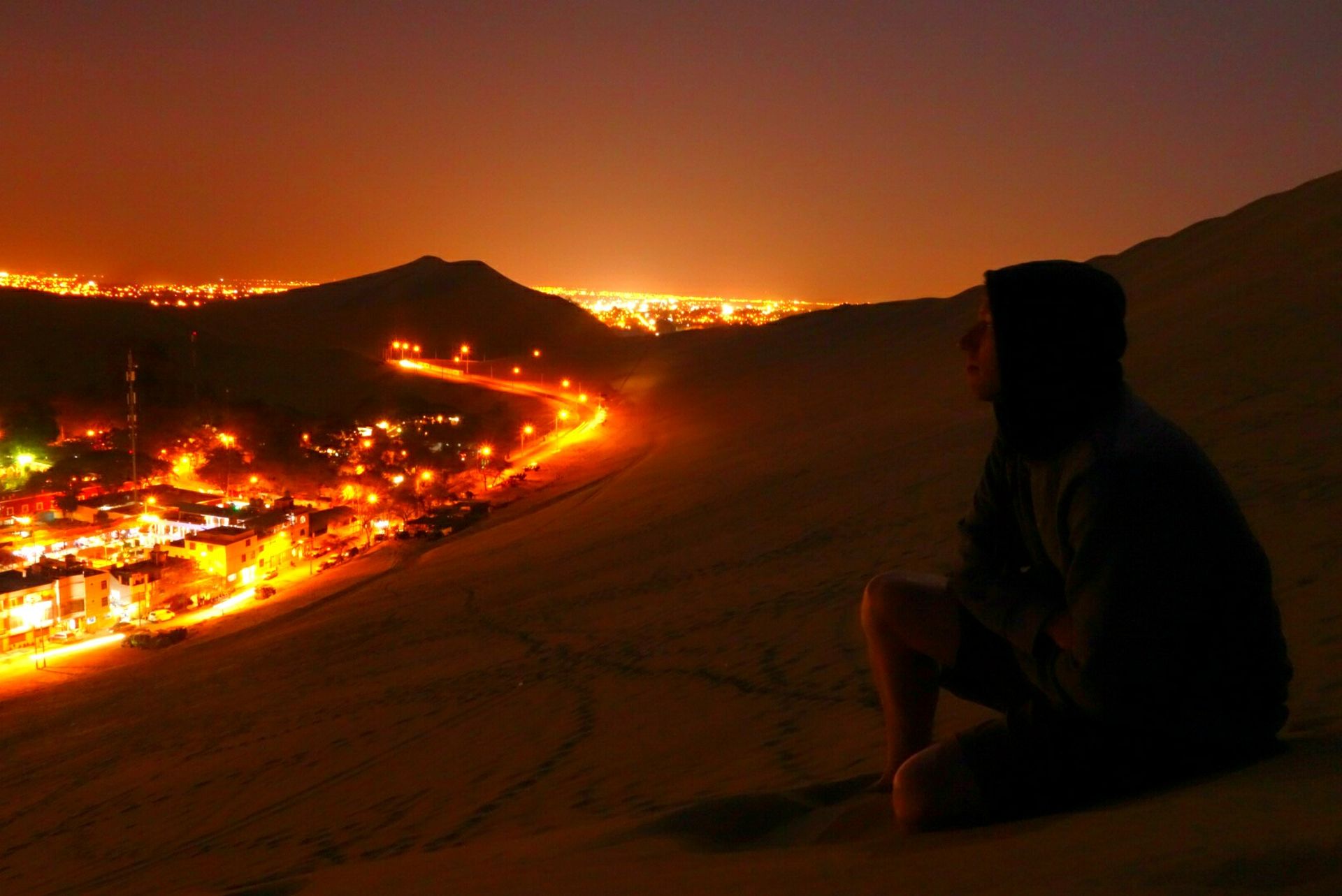
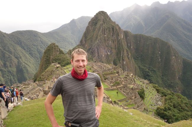
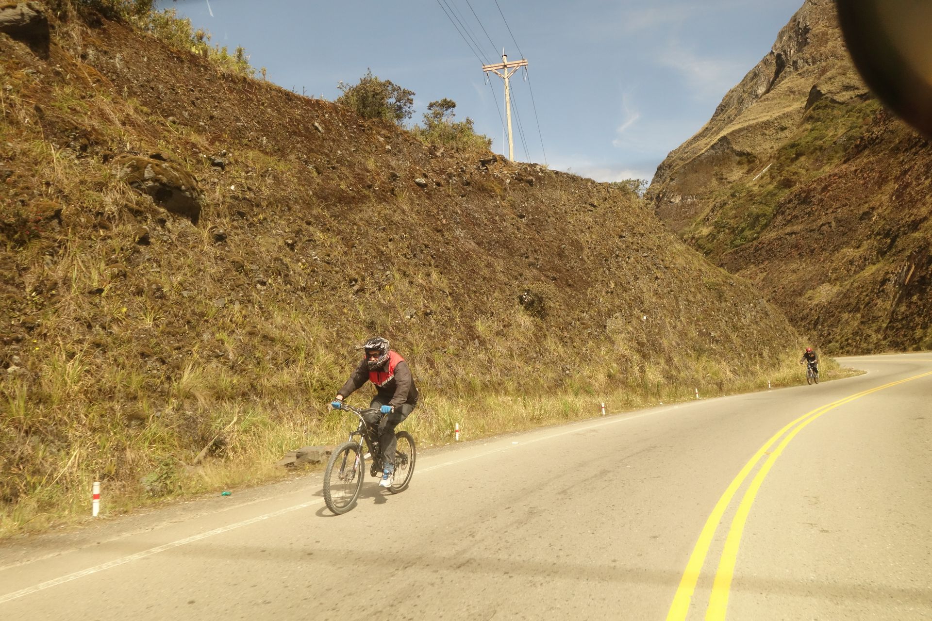
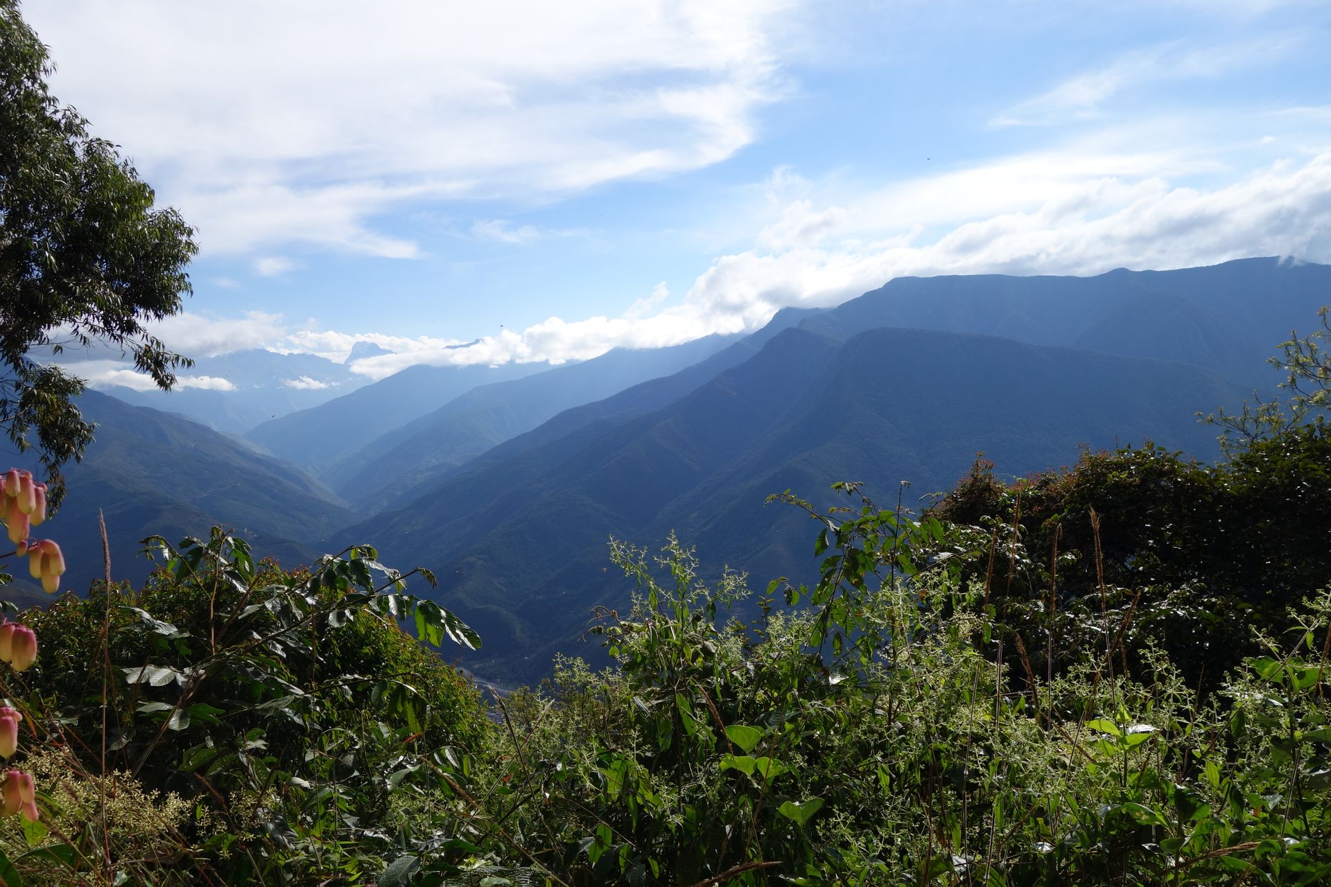
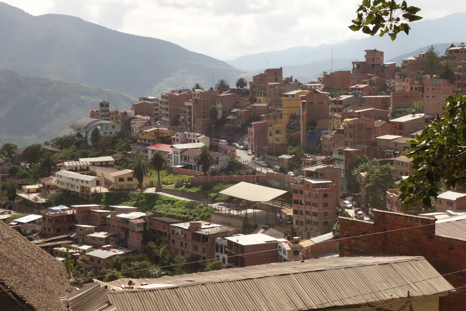
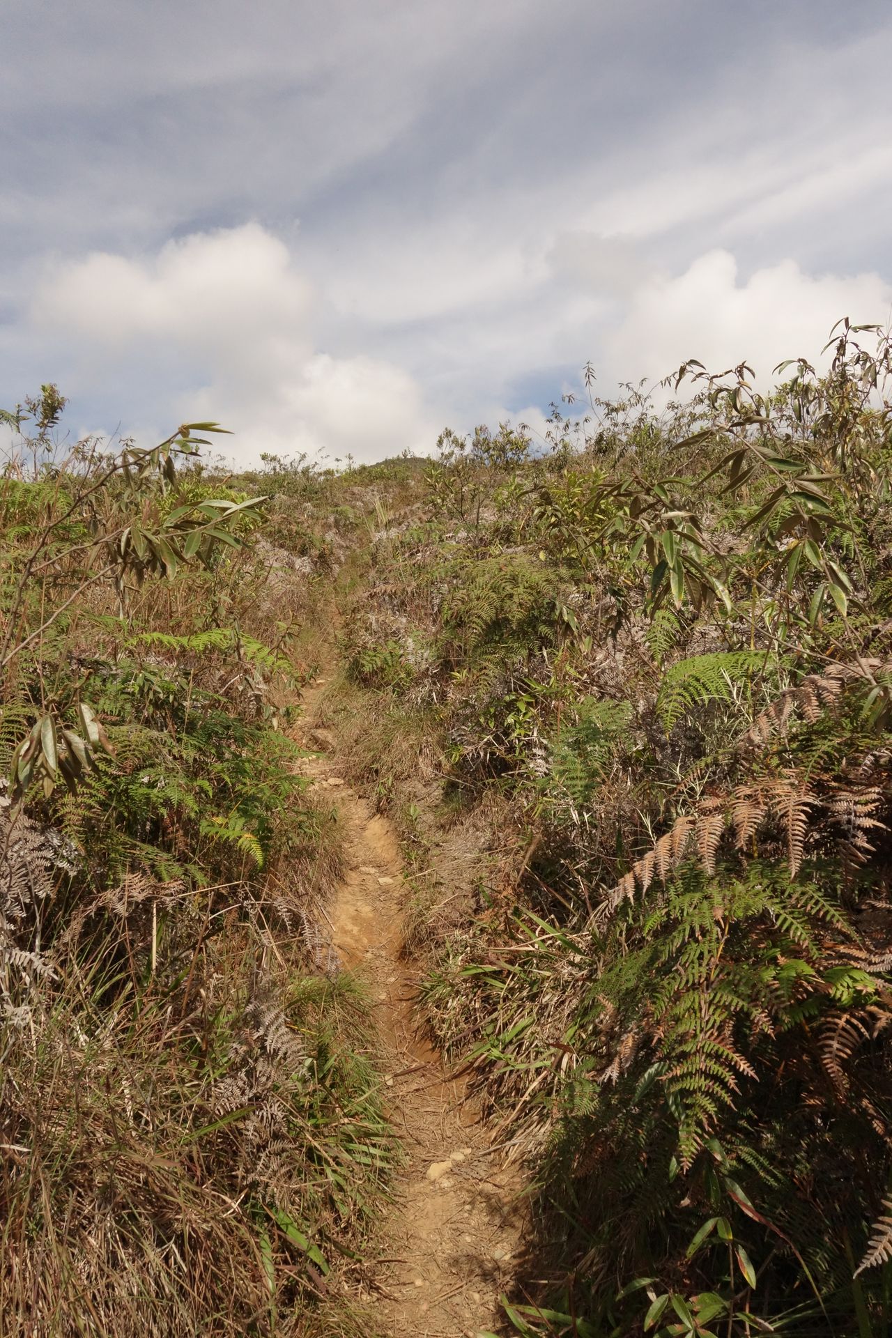
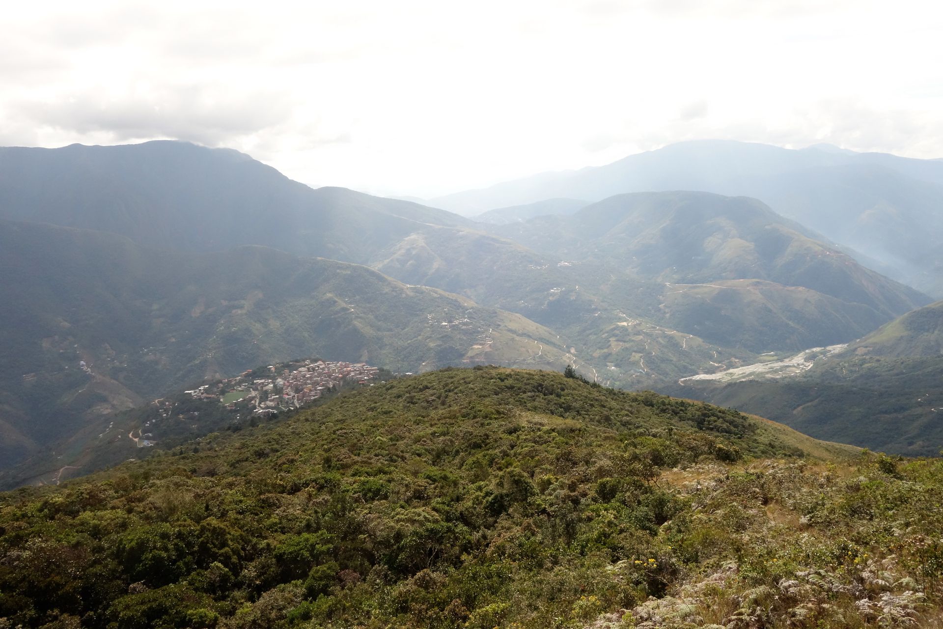
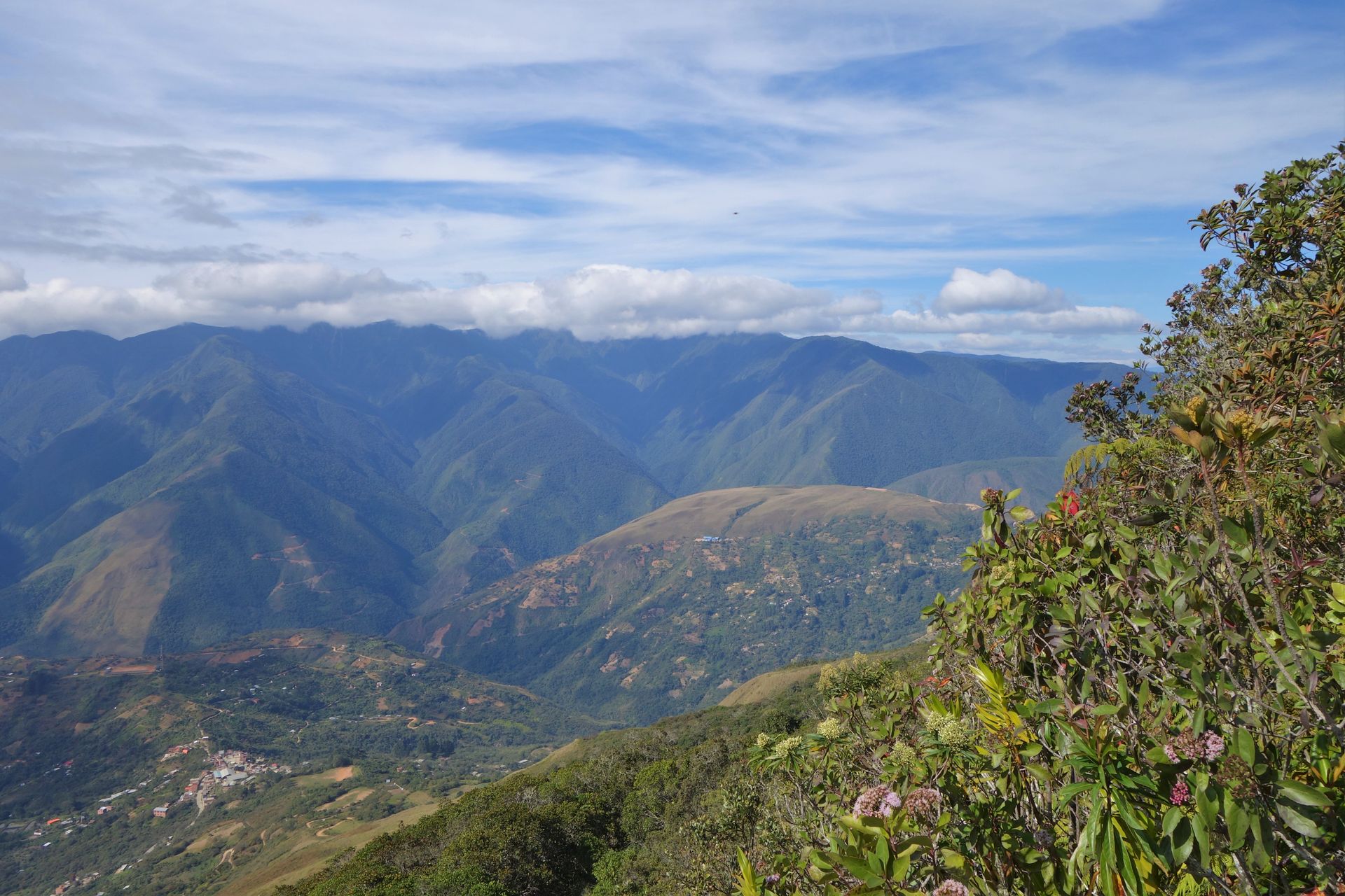
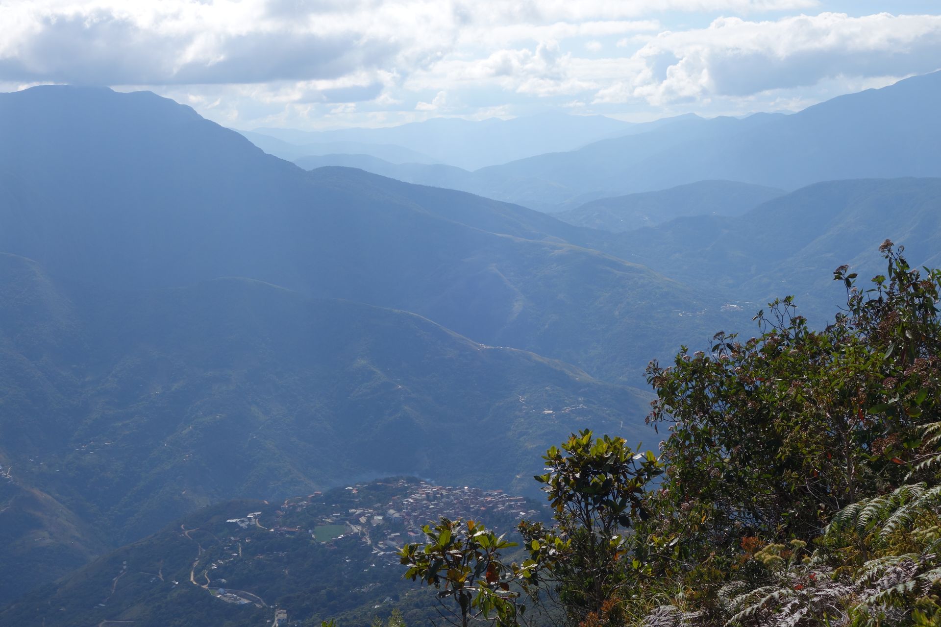
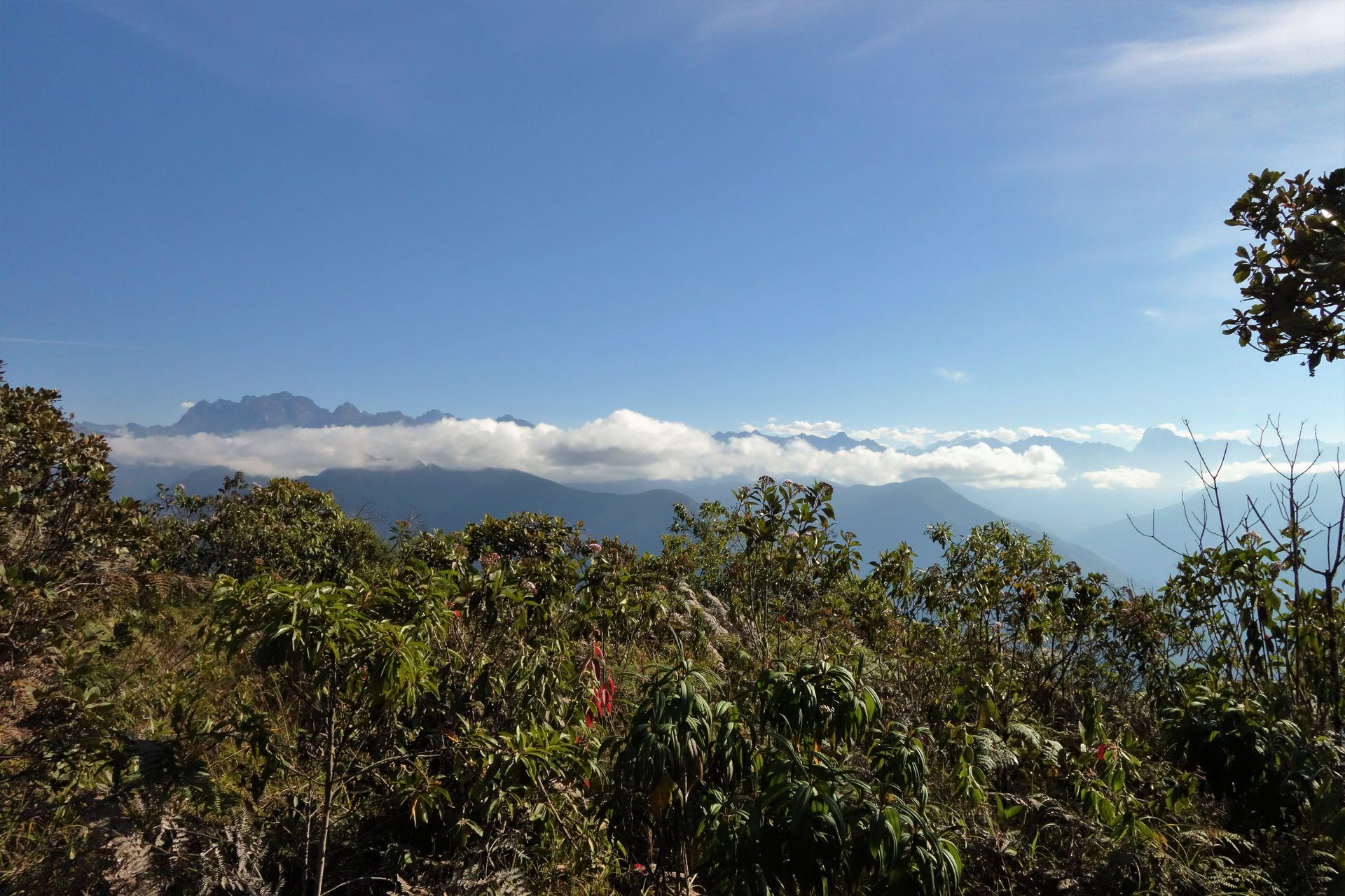
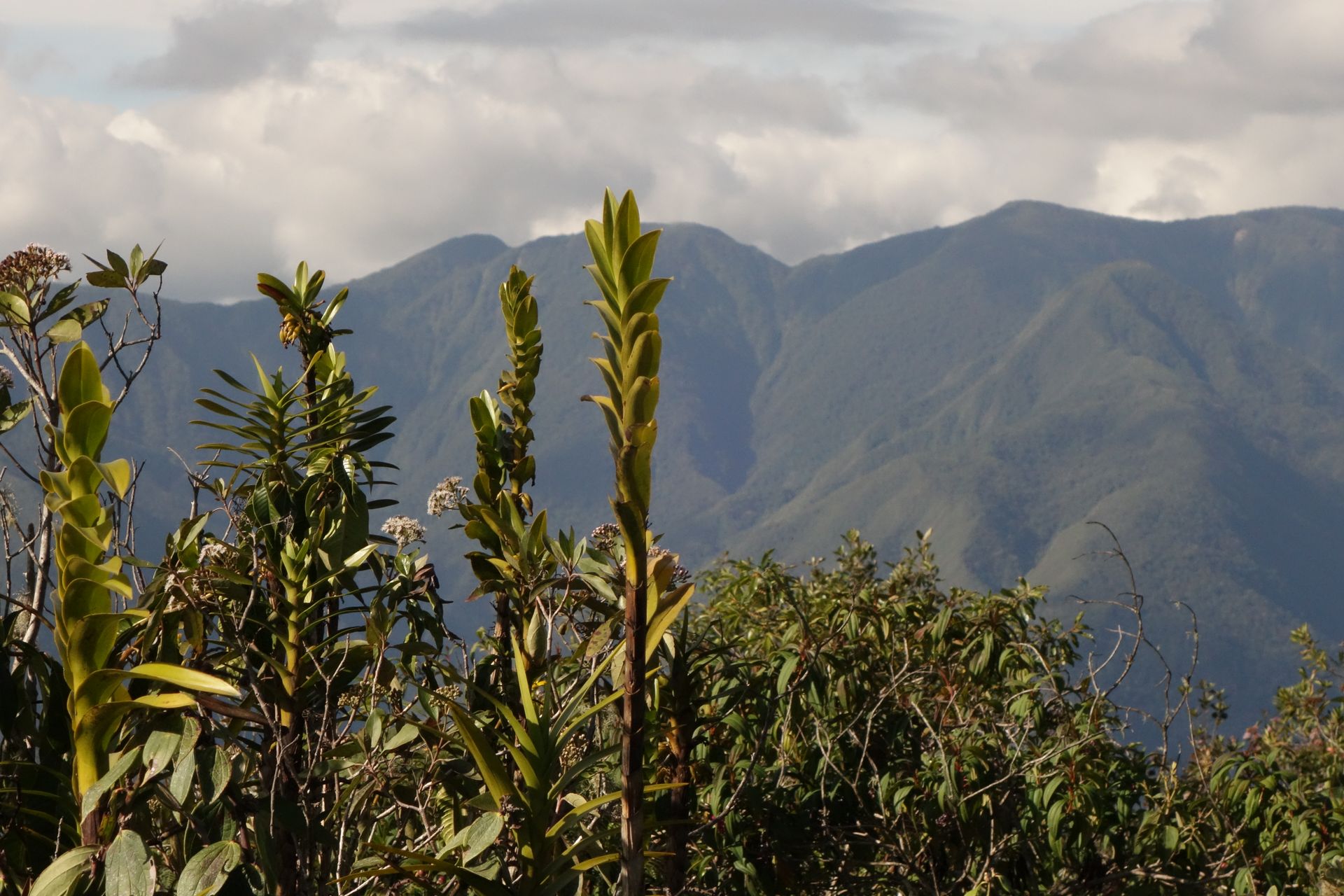
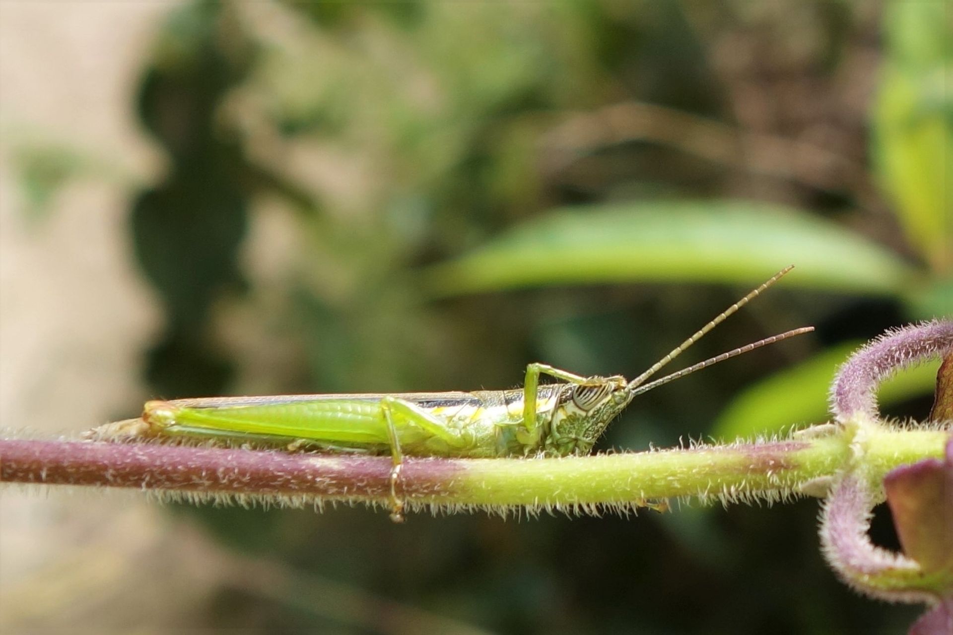
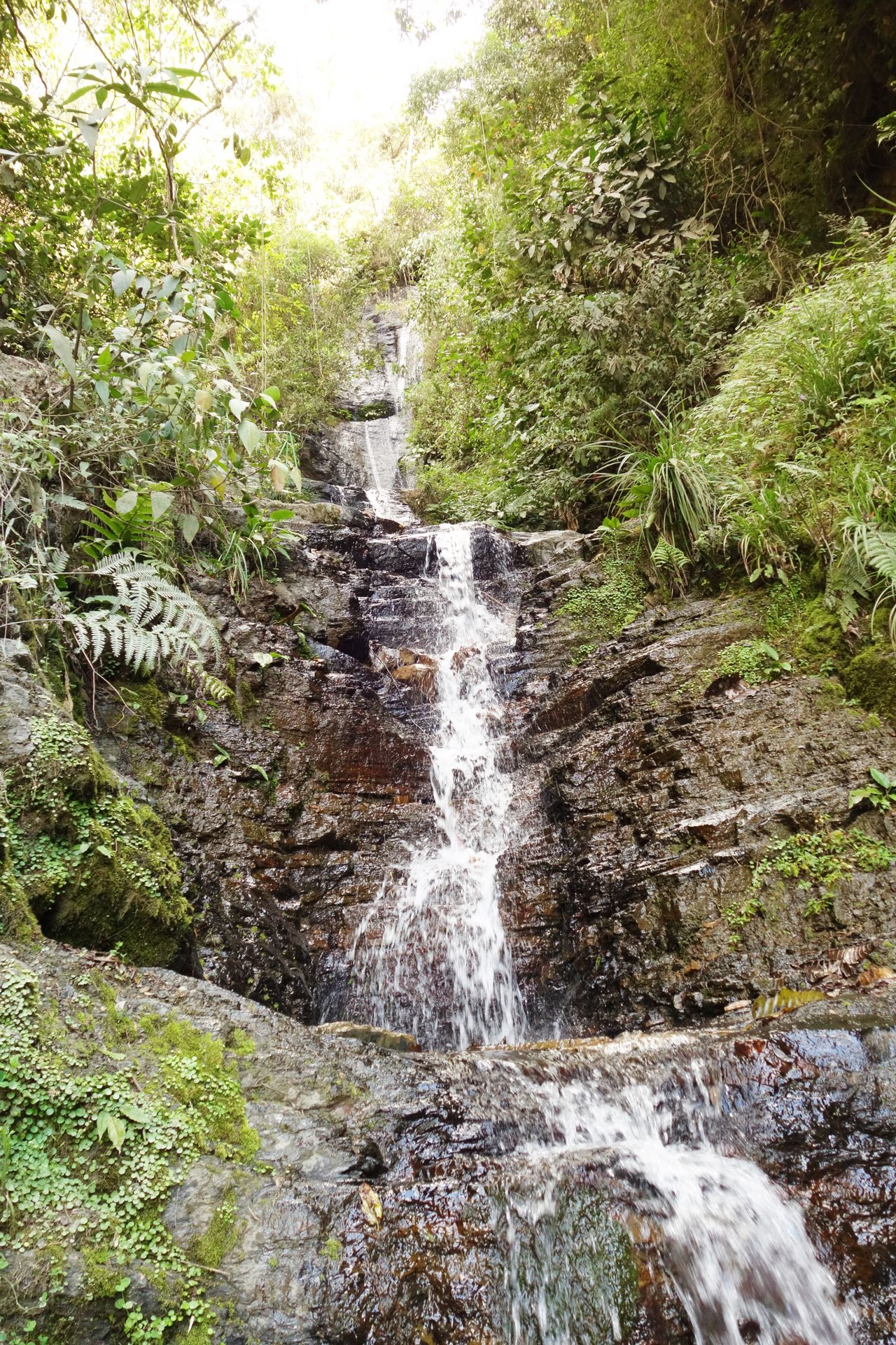
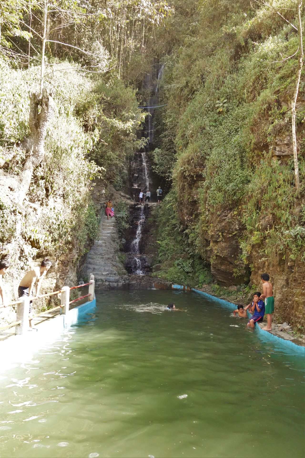
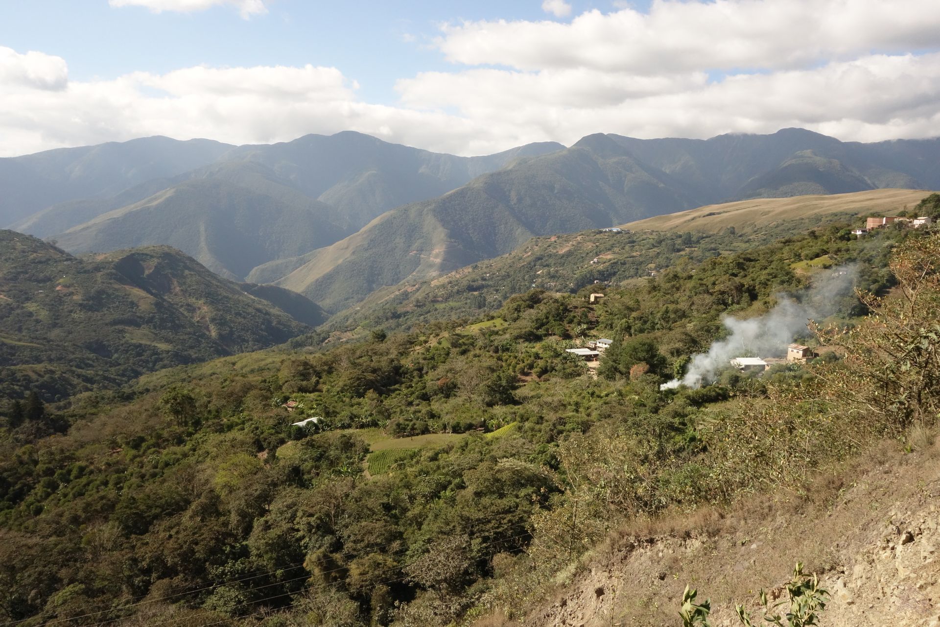
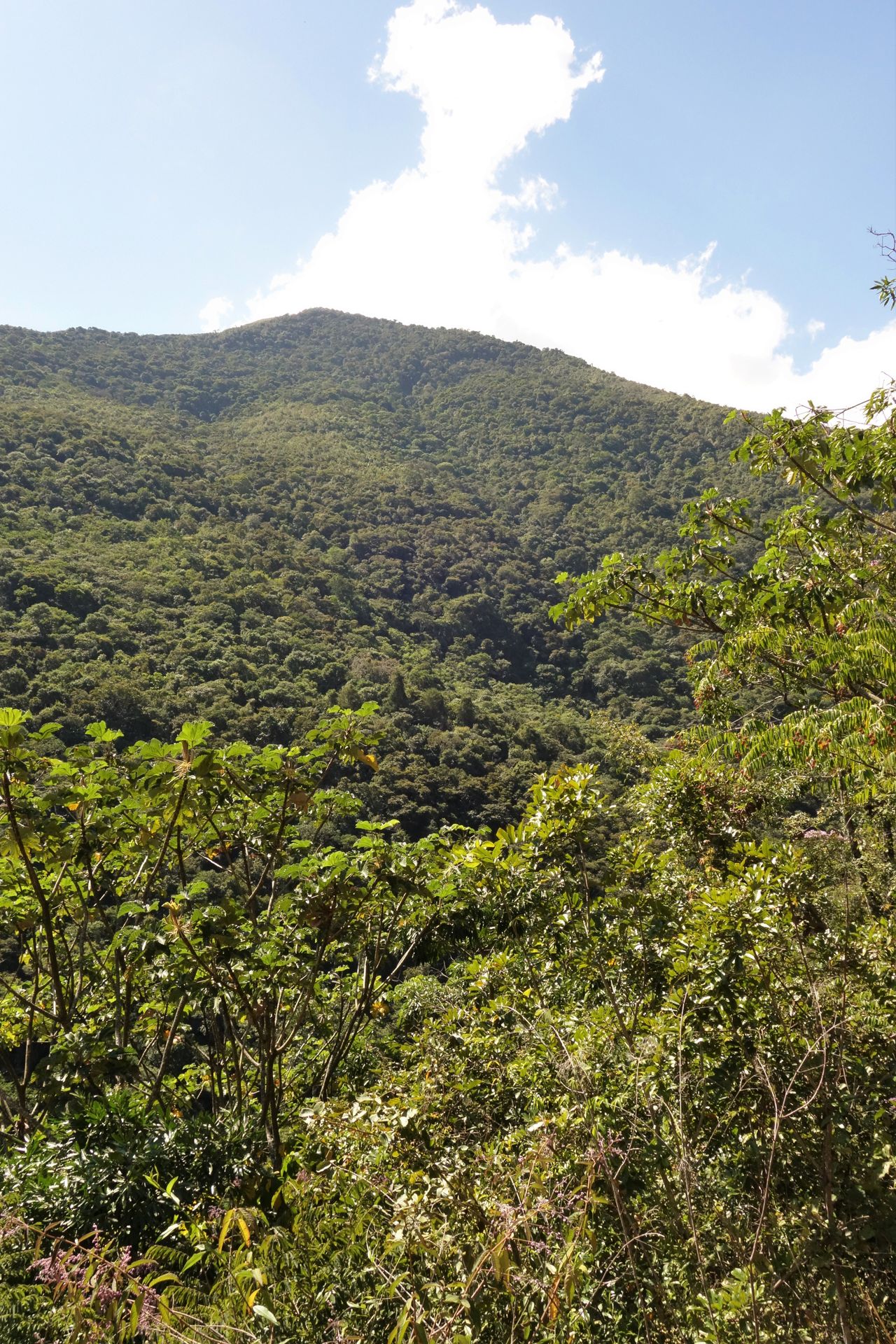
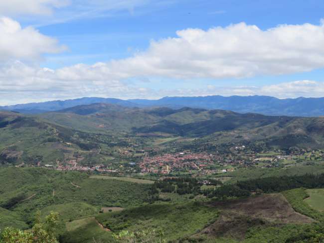
Then we continued to Coroico - La Paz is still above 3600m, so it can still get quite cold at night. Coroico (1740m, 2500 inhabitants), on the other hand, is much lower in the Yungas, which represent the transition from the highlands to the lowlands of the rainforest. It is warm, green, and mountainous there. A rather sleepy, not very beautiful place. However, the location and the view are all the more impressive. Located directly on the slope, you can either climb the local mountain Uchumachi, descend to the waterfalls, or walk to the cold, refreshing natural pools of the river in the valley. I did all of that. I also wanted to bike along the Death Road. Because you have beautiful views there and the road is not as bad as it sounds, as there are no longer any cars driving or crashing there. Unfortunately, there were no group tours available at that time, so I had to postpone the tour for now. The onward journey to Rurrenabaque also had to be done by bus. I had read that you can also do it with a 3-day boat tour through the rainforest. But even there, nothing could be arranged at such short notice. And I didn't want to wait another week in Coroico.

From the barren high plateau, we went downhill a bit.
That
That's how tourists drive along the Death Road. However, the main section is no longer paved and almost not used.
Coroico up close...
Coroico up close...
...and from afar
...and from afar
On the ascent to Uchumachi, you had to fight your way through various vegetation.
But once you reached the top, you had a great view of the evergreen Yungas.
Even the bees were busy up there.
And other companions were also interesting to observe.
With best regards
With best regards
With photos, you can influence a lot. At the waterfalls, it looked like this.
But even so... it wasn
But even so... it wasn't quite as natural anymore.


คำตอบ

โบลิเวีย
รายงานการเดินทาง โบลิเวีย
#la_paz#yungas#coroico

รายงานการเดินทางเพิ่มเติม