6.10. Fundy National Park
ที่ตีพิมพ์: 21.10.2018
สมัครรับจดหมายข่าว
At night it gets quite chilly, so I get the duvet from the second bed on the gallery. We get up around 8am, have breakfast from our own supplies with a view of Alma, the harbor and the national park from the dining table. The gas station in town has a fairly well-stocked small shop and we not only get gas ($1.29/liter) but also a coffee and continue driving into the park.
The weather is absolutely beautiful, but with 11°C and a lot of wind, it's not suitable for light clothing.
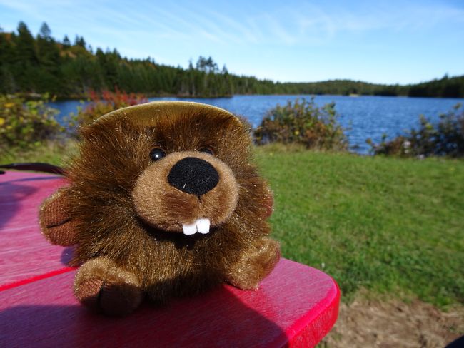
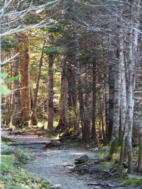
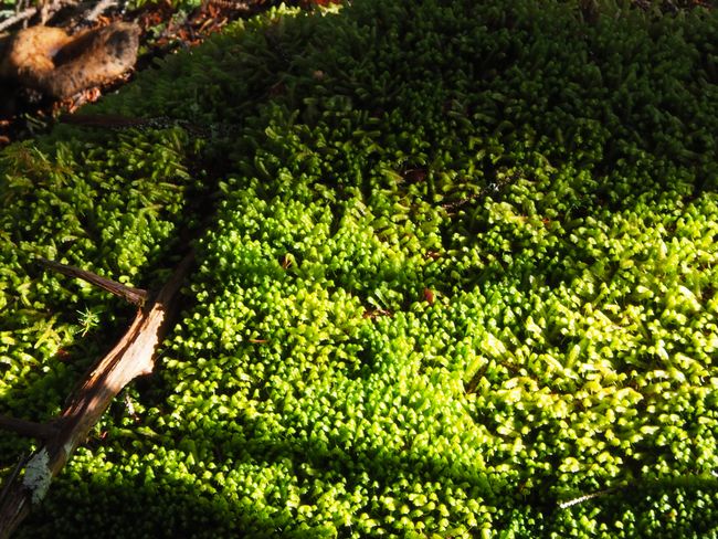
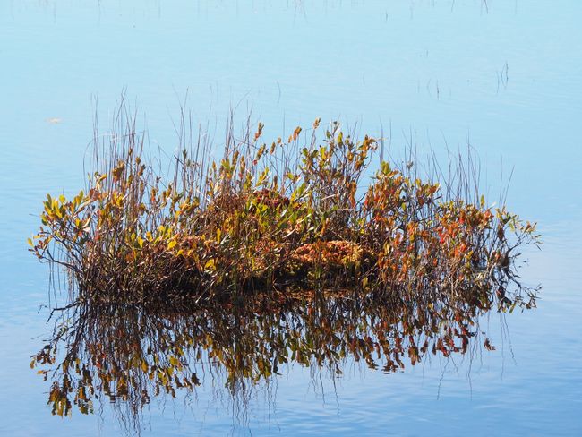
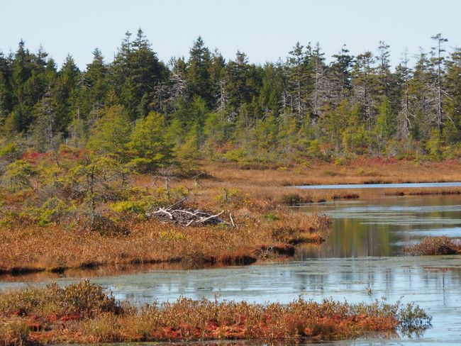
The Fundy National Park is only 20km long - at least the road that goes through it. Of course, there are several hiking trails here and on the south coast, there are also cliffs, possibly even a bear. We decide on a circular route to Caribou Lake, which partly runs along a boardwalk. There are few people on the way and at the end of the path, you can look at a swamp area that looks more like a lake - Caribou Lake. According to the information board, the bog here is 4m deep and a few years ago two moose sank here. One could be saved, the other could not. Unfortunately, the visible beaver lodge does not offer any animals. We walk the beautiful path through dense forest, over sunlit boardwalk sections, along mosses and colorful birches back to the parking lot and continue along Route 114 to the north. The small national park does not have any other roads that cross it, only a few often unpaved side roads that eventually lead to nowhere or back to Route 114. The animals that live here do not get used to the presence of humans like in other national parks and therefore avoid them, which is why sightings are a matter of luck. There are about 300 moose and some black bears here, as the ranger at the Wolfe Lake Visitor Center later tells me. But we only see warning signs and a few squirrels.
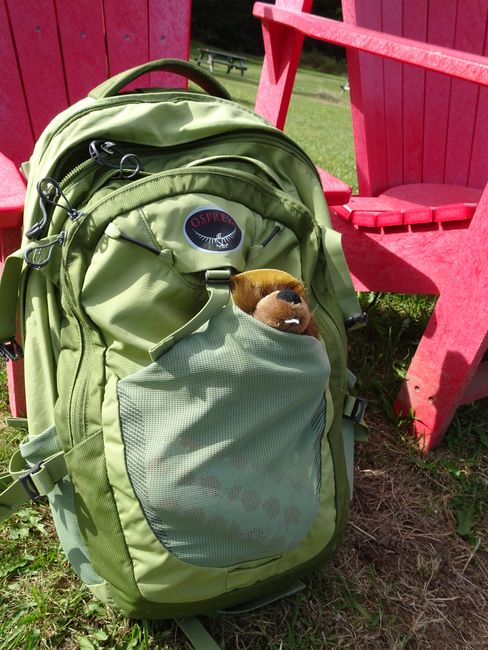
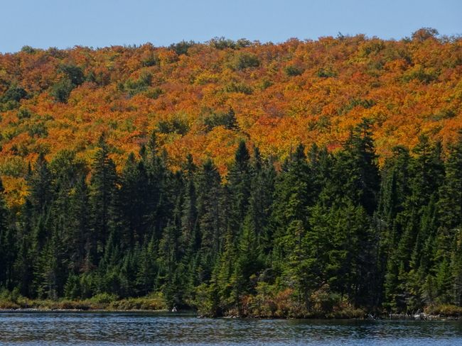
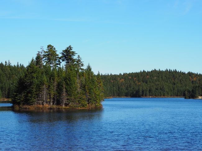
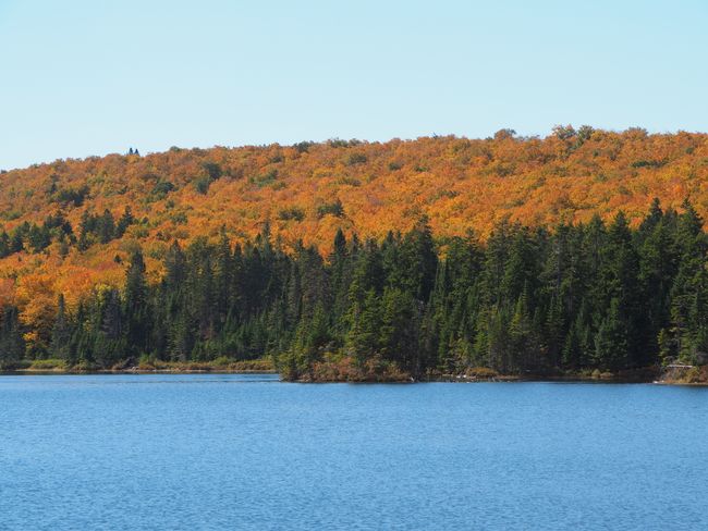
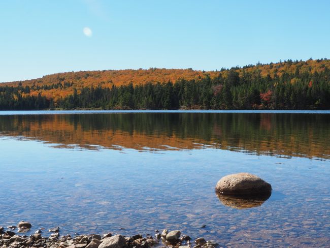
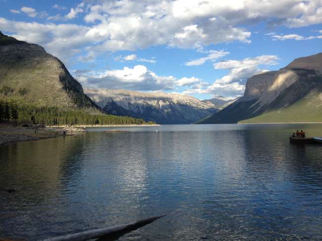
First, we stop at Bennett Lake and briefly sit in the red Adirondack chairs (called Muskoka chairs in Canada). The park administration puts them in particularly beautiful viewpoints. We sit in the blazing sun, looking at a very Canadian scene with a forested island in a mirror-smooth lake, on which two people are kayaking among colorful autumn forests. The cold wind blows from behind, so we soon leave here, although we see a bald eagle soaring above us.
A little further north on the park road, we reach Wolfe Lake, where the second visitor center is located at the northern park exit. New, modern, and with beautiful Adirondack chairs on the terrace and again an ensemble of red chairs on the shore of the lake. Now you can even sit in a wind-protected corner of the visitor center without jackets. However, the thermometer in the car still shows no more than 12°C. Shadow temperature.
To check what an unpaved road to a pond looks like, where we could potentially see moose in the evening, we drive down one of these side roads and end up after 100m at a wide puddle with an unpredictable bottom. So turn around - no moose sightings for us tonight.
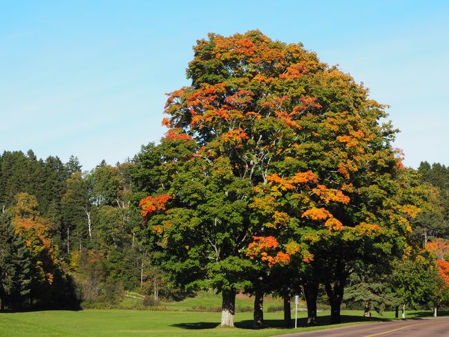
We turn around, drive down Route 114 to the south and head to Maple Grove. An area that - as we were told - offers many maple trees in the most beautiful colors. Well. We turn onto another unpaved road, bump to the beginning of a hiking trail where another 4-5 cars are parked, and start walking. Only spruces around us. Not a single maple tree. So on we go - another curve, another bend, and another one. Only spruces. Why is it called Maple Grove here? There is not a single maple tree growing here! A group of hikers comes towards us, whom we ask. They say: Nope. No maple trees. They walked here for 2.5 hours to reach a coastal viewpoint, but there are only spruces. What are these people at the visitor center talking about?
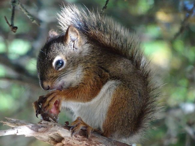
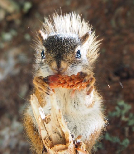
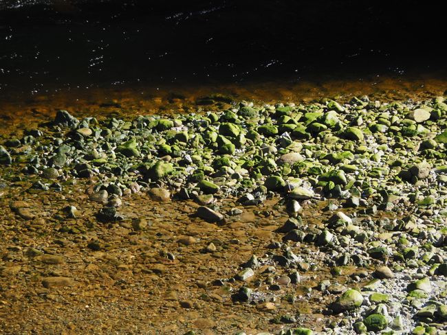
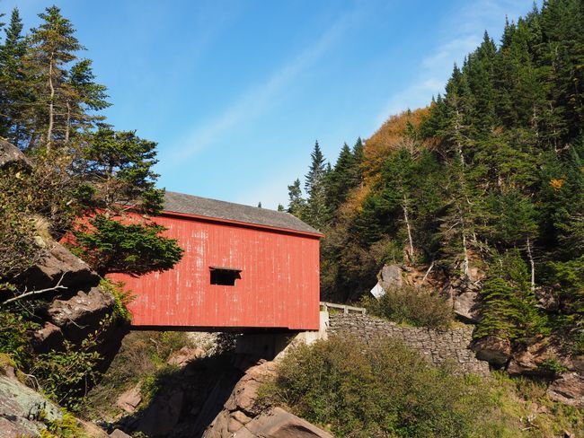
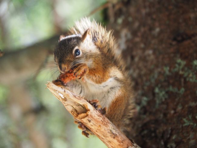
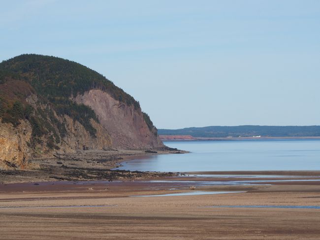
So back to the car and continue bumping over some potholes and big stones until we reach Hastings Road, which runs paved to the right and takes us to the covered bridge of Wolfe Point. The bridge dates back to the early 1990s, so it's not really an antique, but a pretty photo motif. The Lower Oxbow River runs under it and a few hundred meters further it reaches Fundy Bay. Now it's low tide and we only see stones. We continue along the road until the end, briefly observe a squirrel that likes to be photographed while feeding on a spruce cone, and drive to Matthew's Head, actually to hike a trail there. We look down on Herring's Cove, but then decide not to hike the trail after all, as there is absolutely no information about the condition, route, and duration of the trail. In the end, you are supposed to stand on a 25m high cliff and have a great view. But what you see - apart from water, if it were there - whether it is a circular route or a one-way street, where you end up after 2 hours - everything remains unclear. Overall, the information here is really poor.
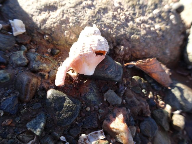
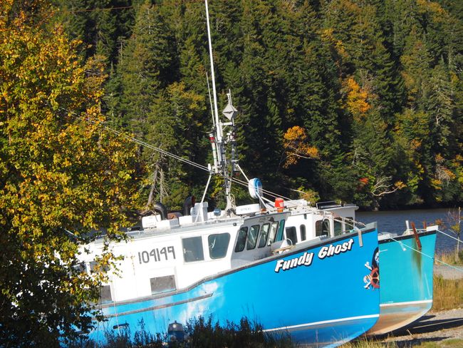
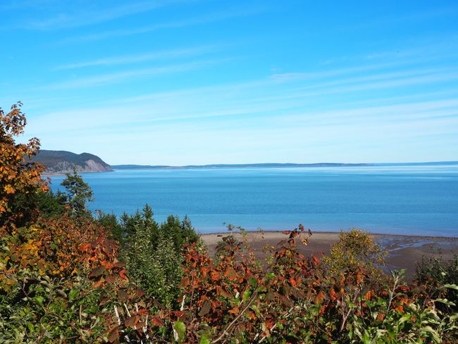
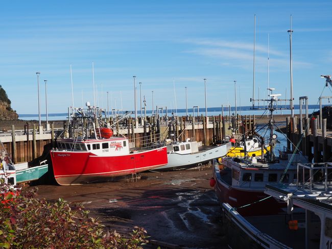
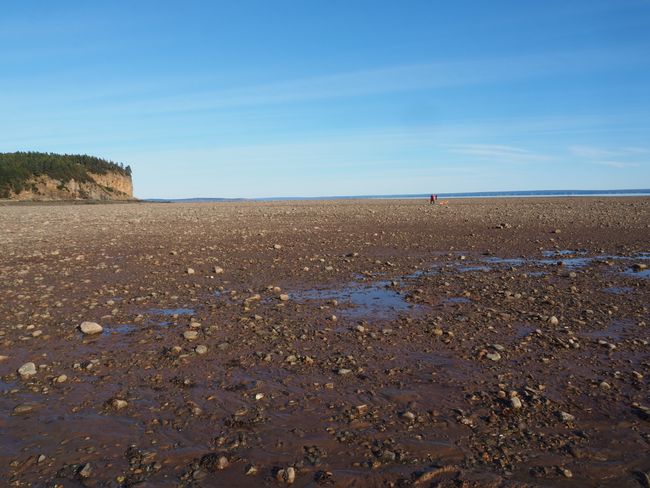
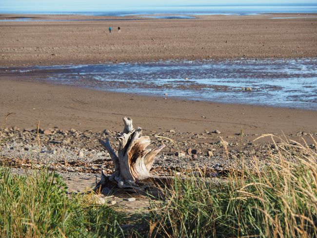
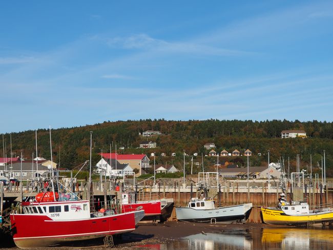
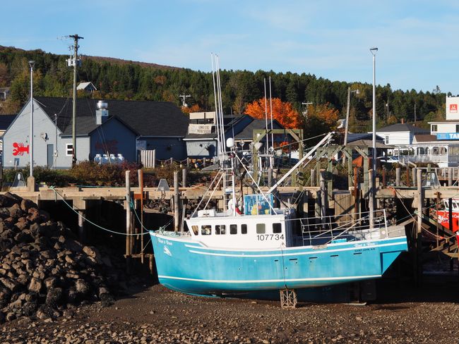
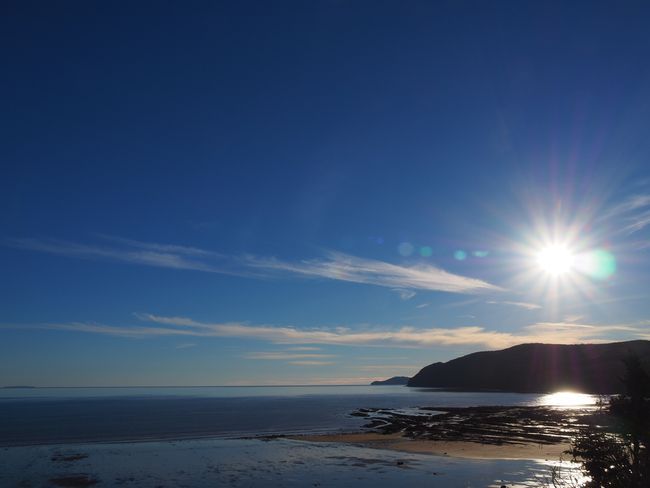
So at 4 p.m. we are back in the car and on our way back to Alma. We park right at the entrance to the town and walk around on the huge tidal flat, look at hermit crabs, mussels, and seaweed. It's unbelievable how far you can walk into the Bay of Fundy now. The fishing boats are stuck in the mud and are several meters lower than at high tide. The tidal range in Alma is around 10 meters.
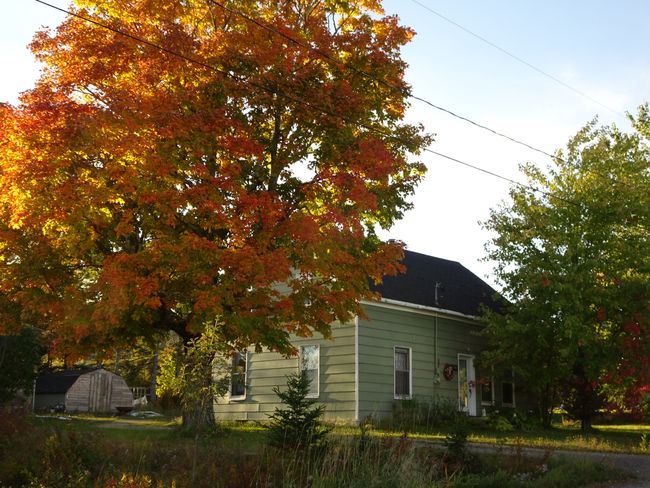
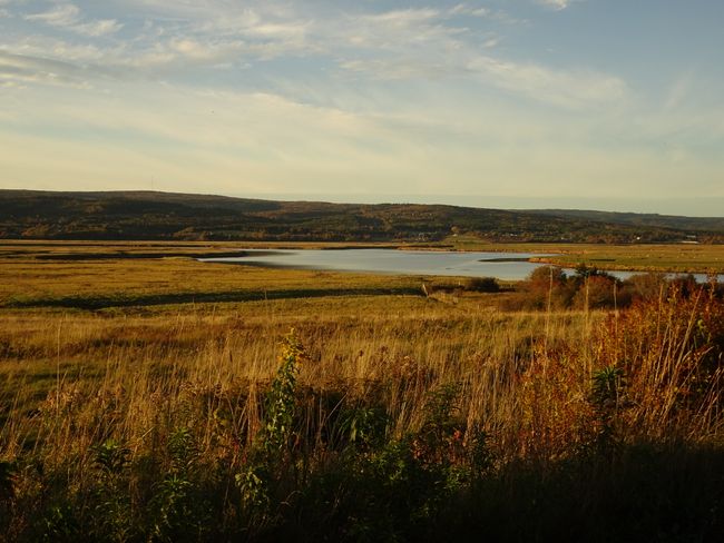
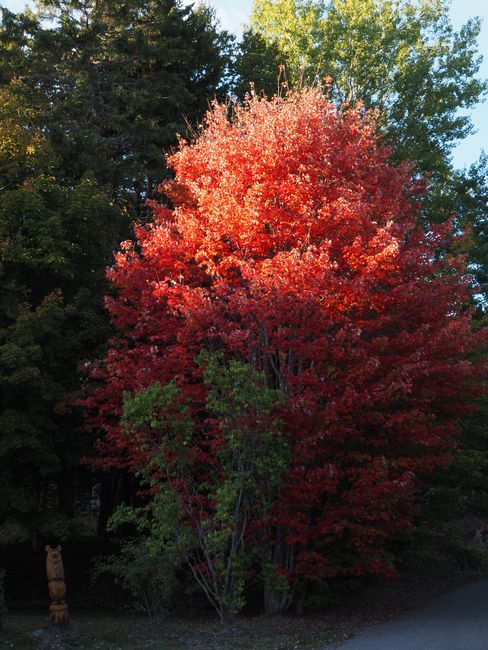
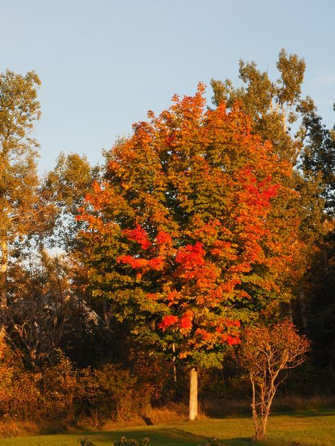
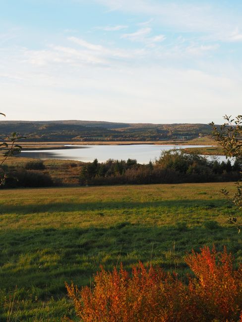
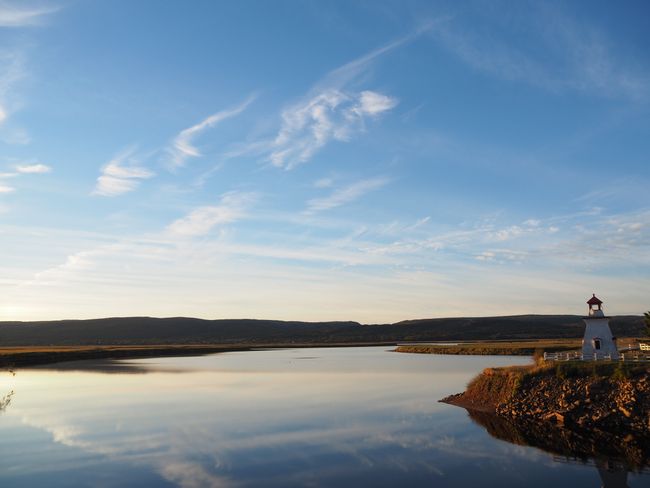
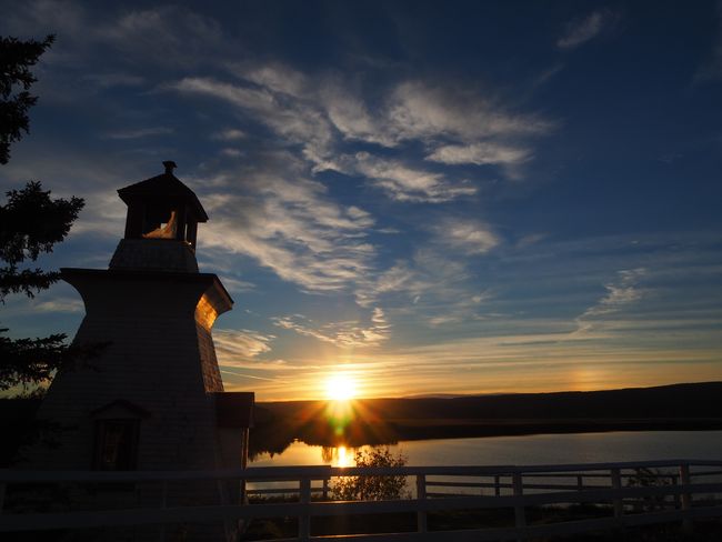
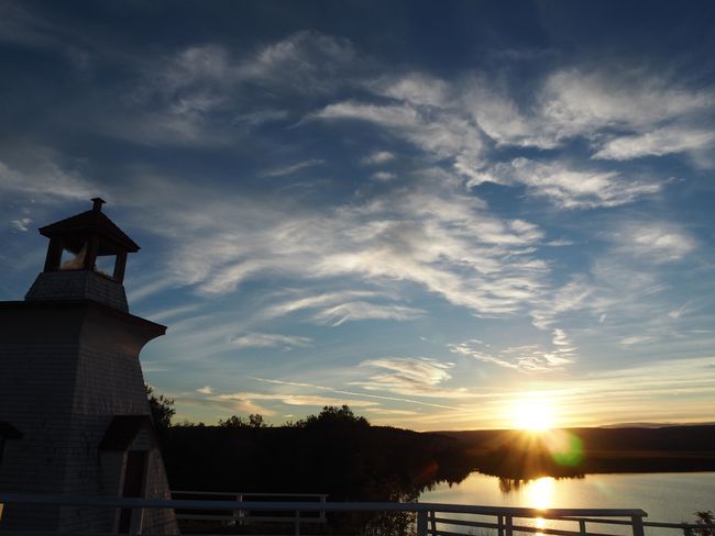
To use the evening light for photos, we drive from Alma further north, towards the tip of the Bay of Fundy, but then turn onto Route 915, which is a slightly bumpy but paved side road of Route 114 and is quite peaceful with nice views. At Riverside Albert, we find picturesque red and colorful trees and turn onto another side road through the marshland. We soon follow Mary's Point Road on the Mary's Point Loop, which unexpectedly takes us to a lighthouse that is a fantastic motif in the setting sun.
So we end up driving back in the dark and only reach the Boathouse Restaurant at 7:20 p.m. A quick, delicious salmon with maple honey glaze and a whole bunch of tasty fries - and the person is happy.
Our cabin probably has 30°C. This morning we had all the heaters and the electric fireplace running. It's unbearably hot on my gallery, I open the window and we reduce the heat. However, the night is still not so pleasant under the roof.
สมัครรับจดหมายข่าว
คำตอบ
รายงานการเดินทาง แคนาดา
