26.11.2019 Quito Pichincha
ที่ตีพิมพ์: 28.11.2019

สมัครรับจดหมายข่าว
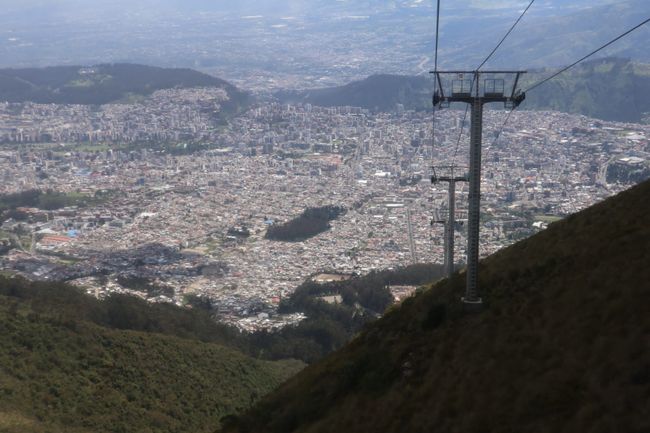
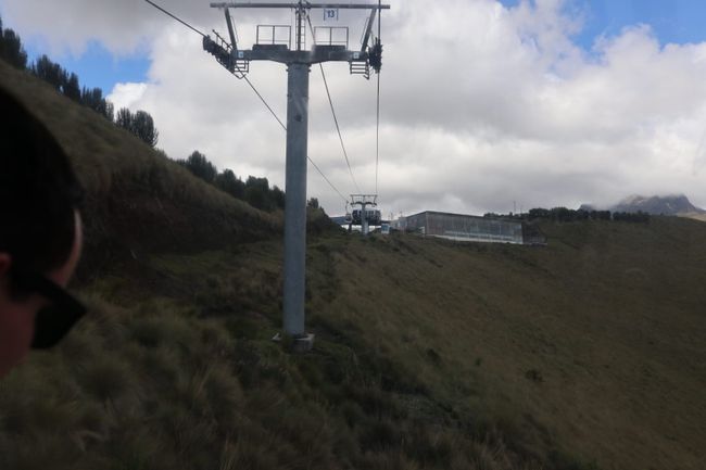
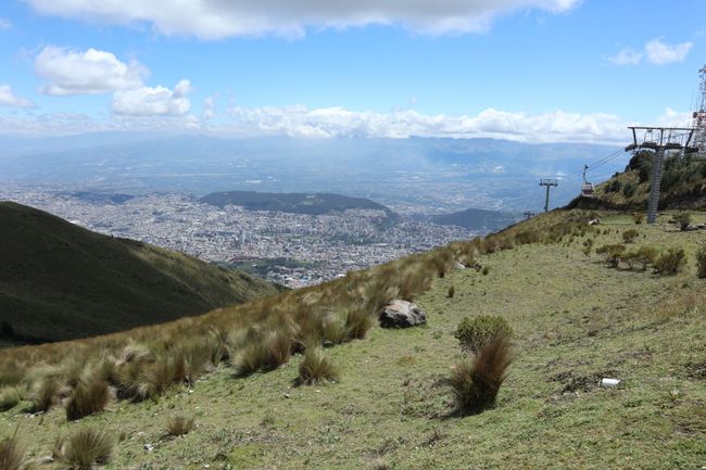
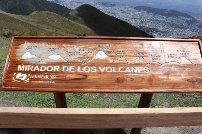
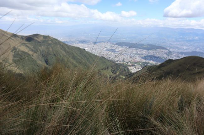
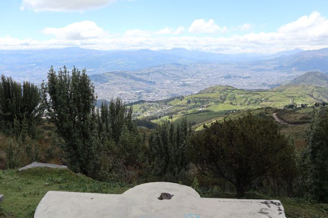
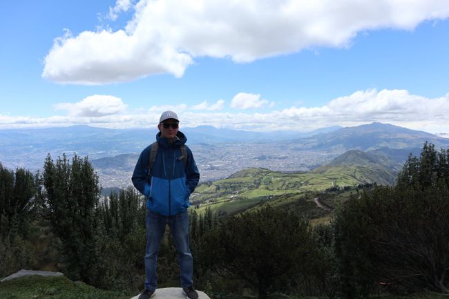
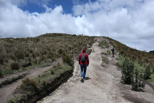
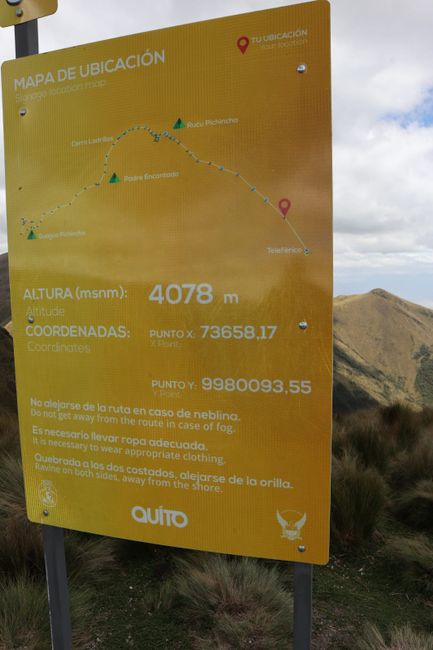
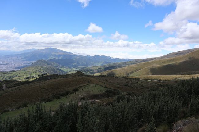
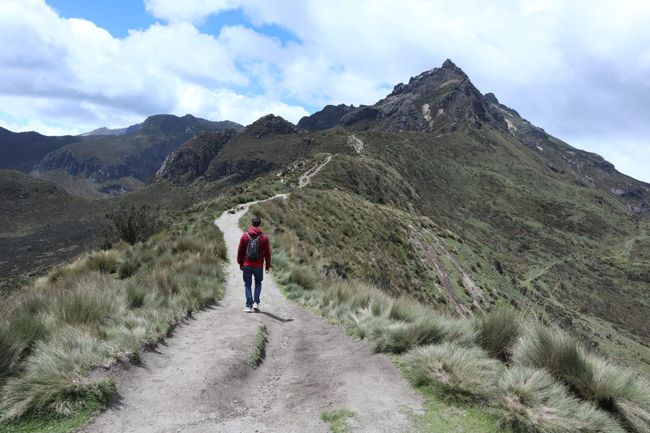
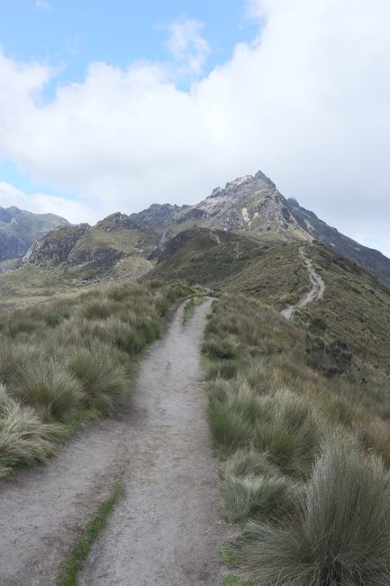
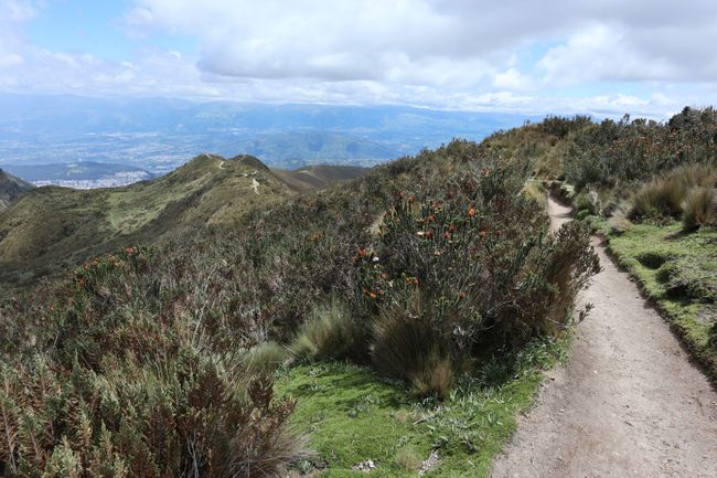
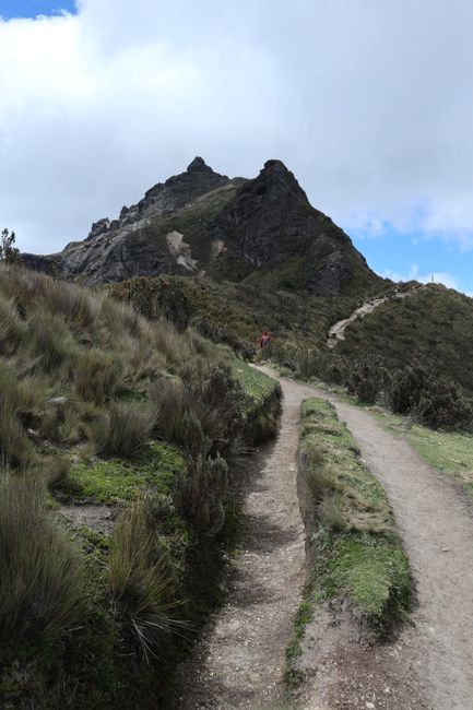
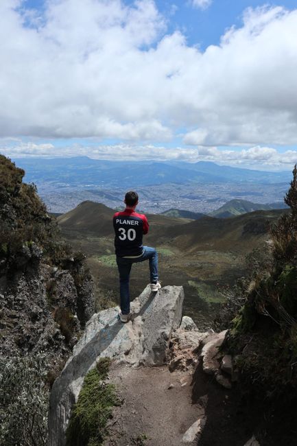
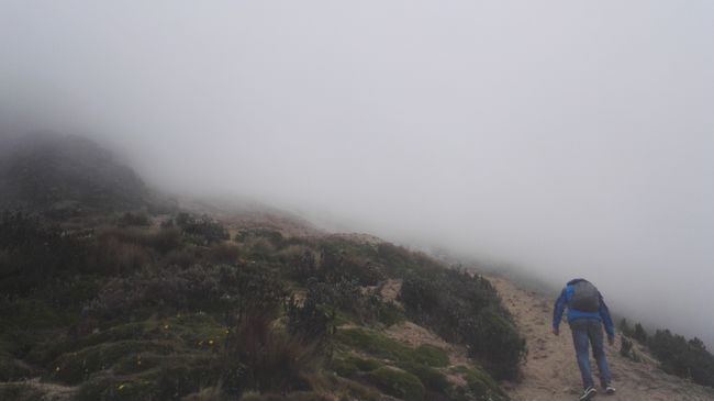
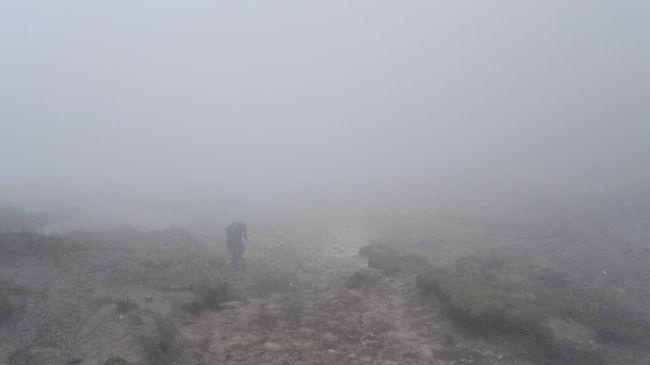
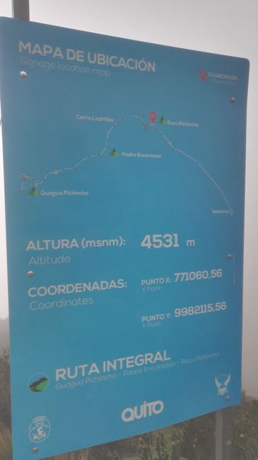
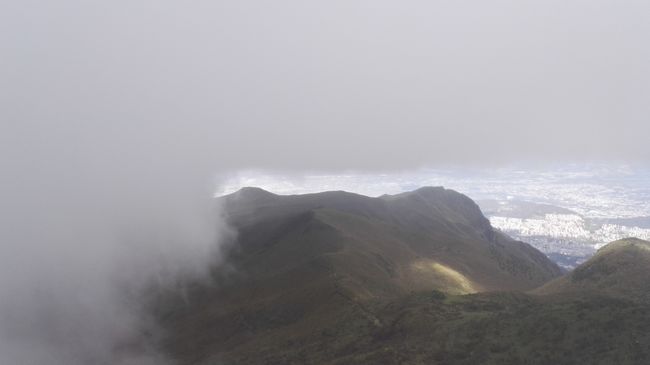
After breakfast, we immediately start to TelefériQo. This is the name of the cable car that takes us from the outskirts of Quito up to 3950m. From there, we have a beautiful view of Quito and then continue on foot to the Pichincha volcano. We walk for about 3 hours, gaining more and more altitude. The last sign indicated an altitude of 4531m. From this point on, the path became more difficult and the weather deteriorated as more and more clouds moved in, into which we ran. The path eventually consisted only of a steep sandy slope with no clear path to be seen. In addition, we had no visibility up or down and did not know when we would reach the summit. The altitude made the ascent even more difficult, every step robbed us of our breath. We reached a partial summit from which the destination was signposted for another half hour. Due to the difficulties mentioned, we decided to turn back at this point, as the goal could no longer be reached together. The estimated altitude was 4600-4700 meters. It took us about 2 hours to return to the cable car and at least another hour to the hostel.
สมัครรับจดหมายข่าว
คำตอบ
รายงานการเดินทาง เอกวาดอร์
