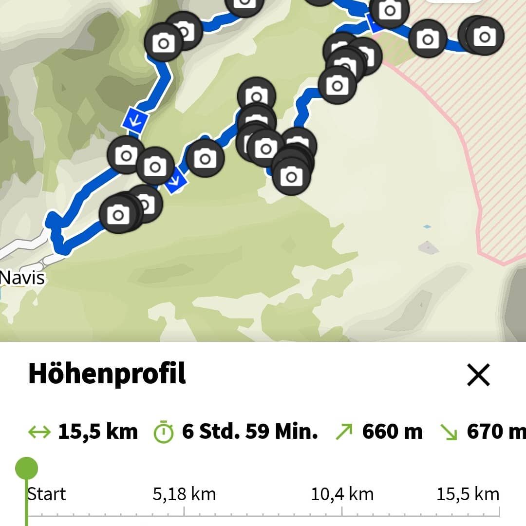
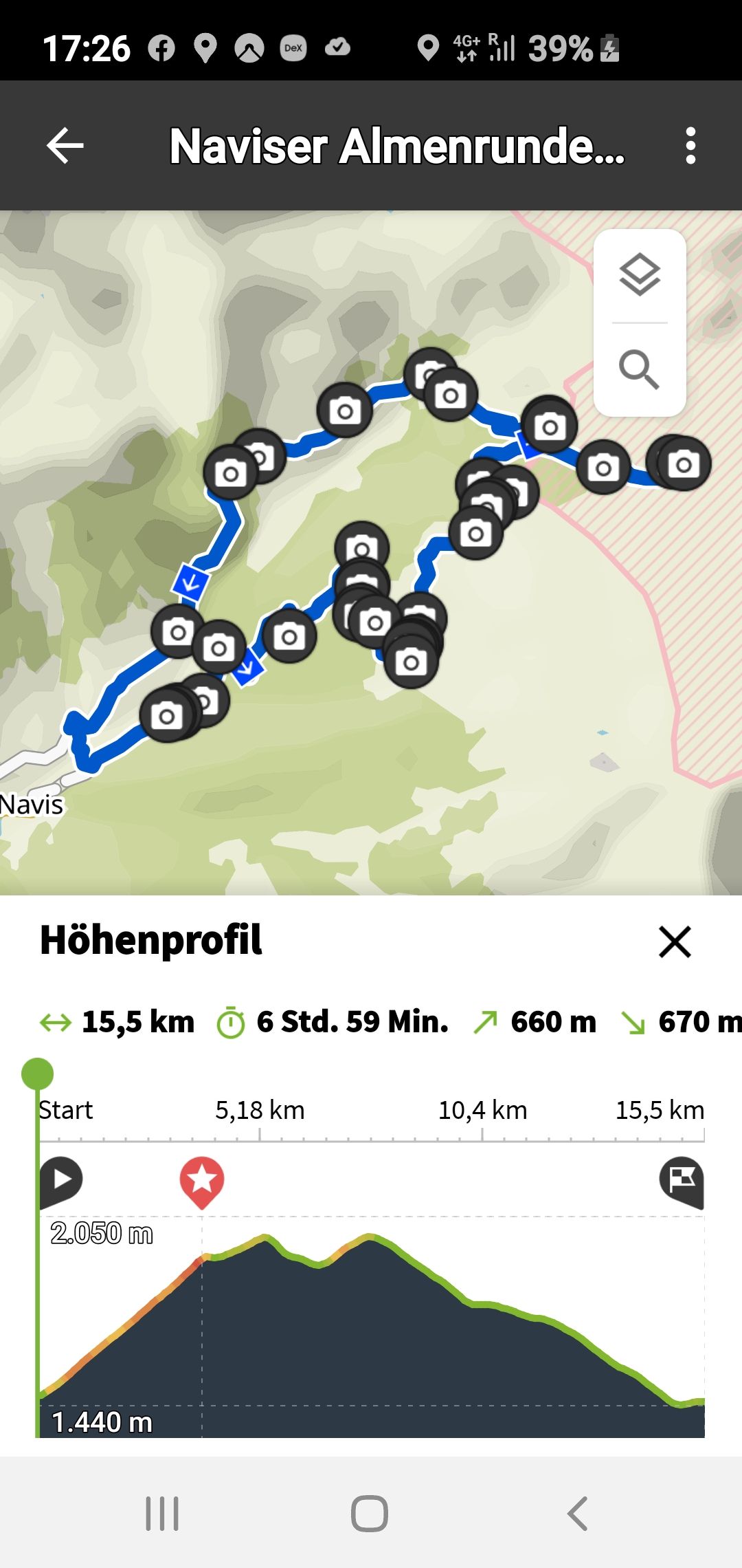
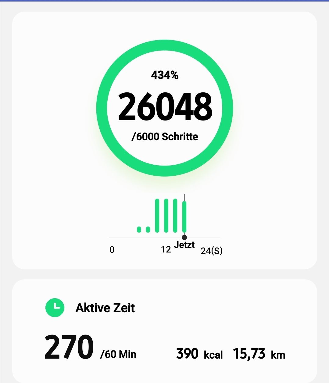
The Almenrunde from/to Navis - 7 hours, 700 meters altitude, 26,000 steps
Нашр шудааст: 01.02.2021


Ба бюллетен обуна шавед
September 3, 2020
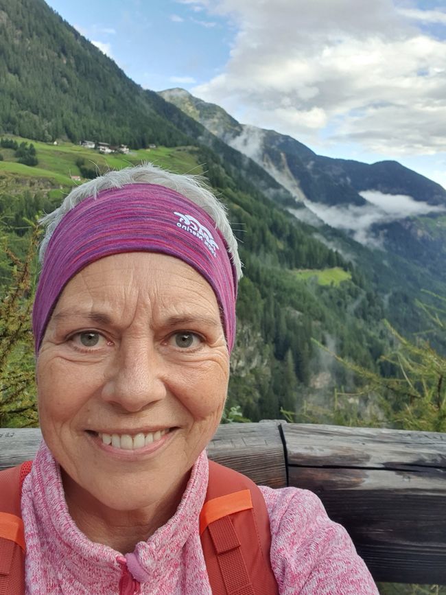
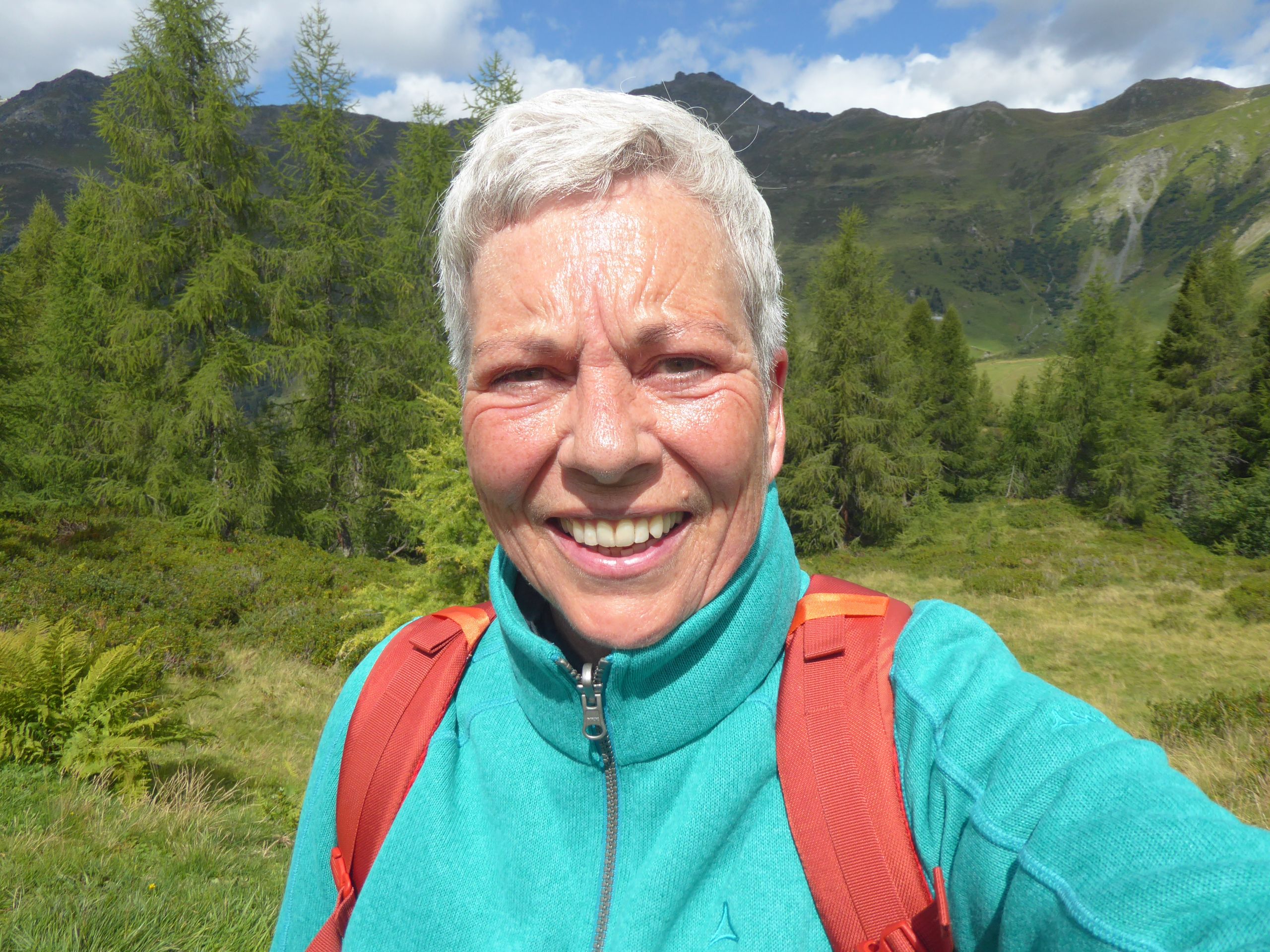
13°I wanted to do this hike, but I wasn't sure if it was too much for an untrained city dweller like me.
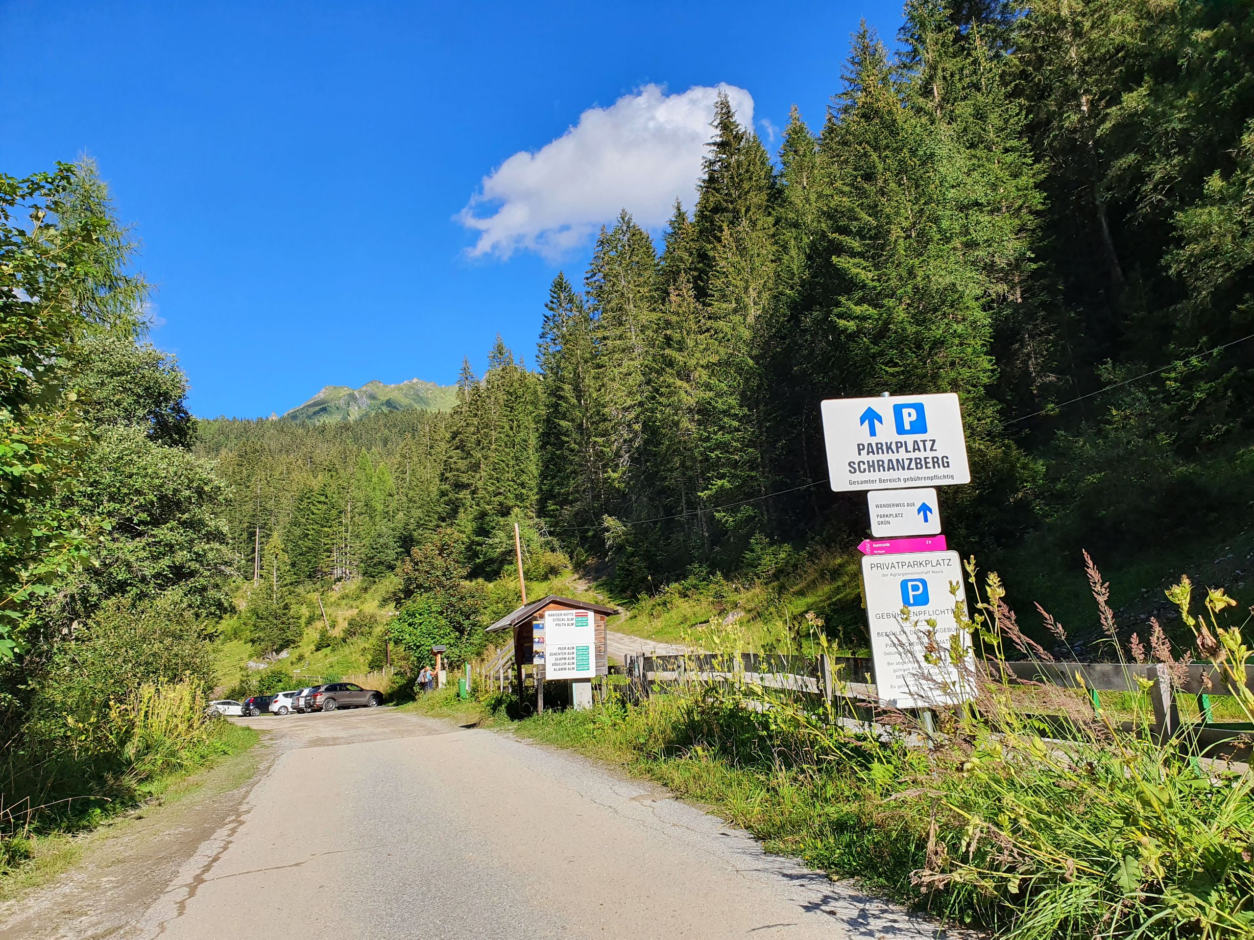
So let's see how it goes. I start at 10 o'clock at the parking lot at 8 degrees. I am 1400m high here and have to climb to 2000m.
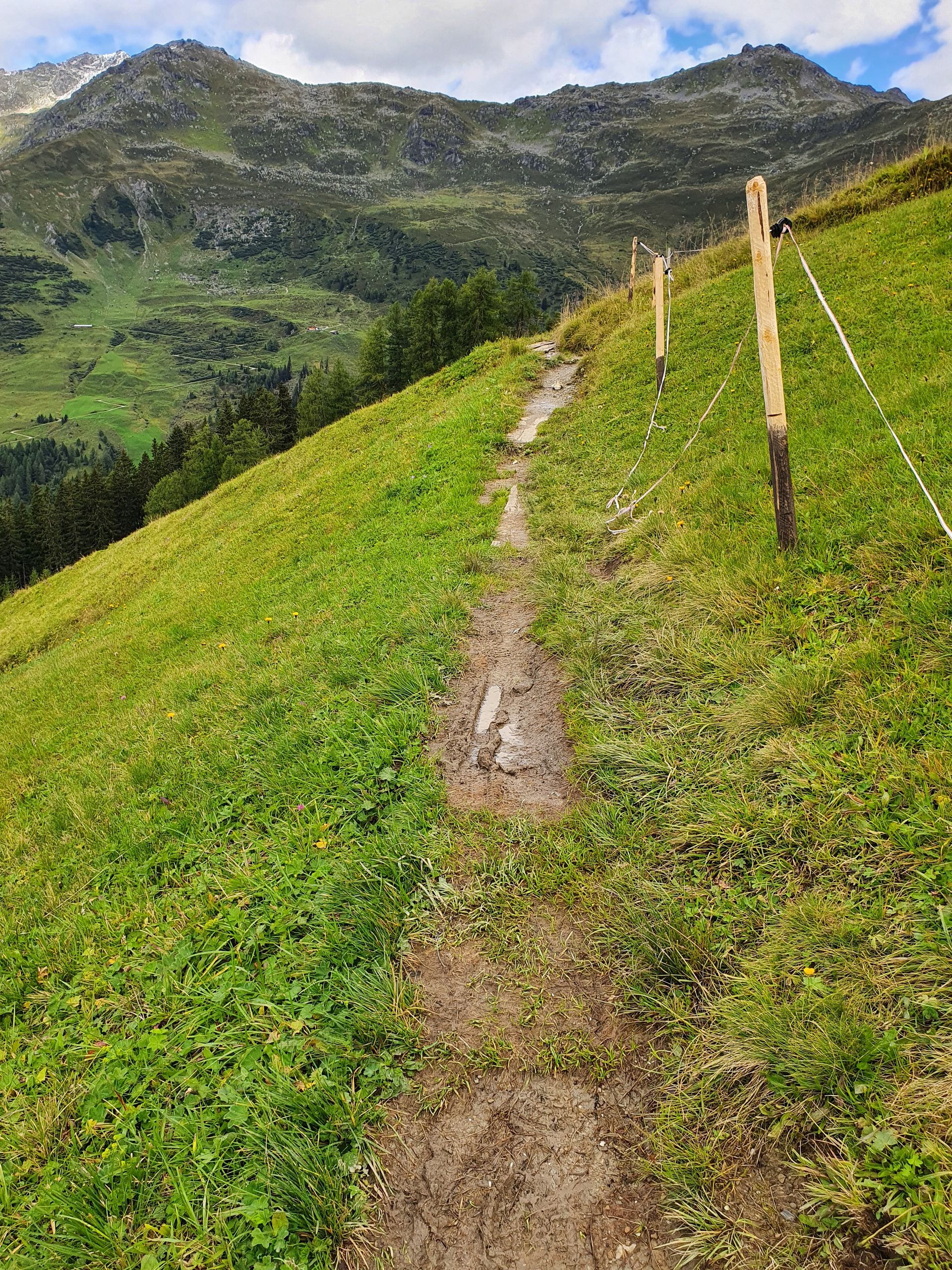
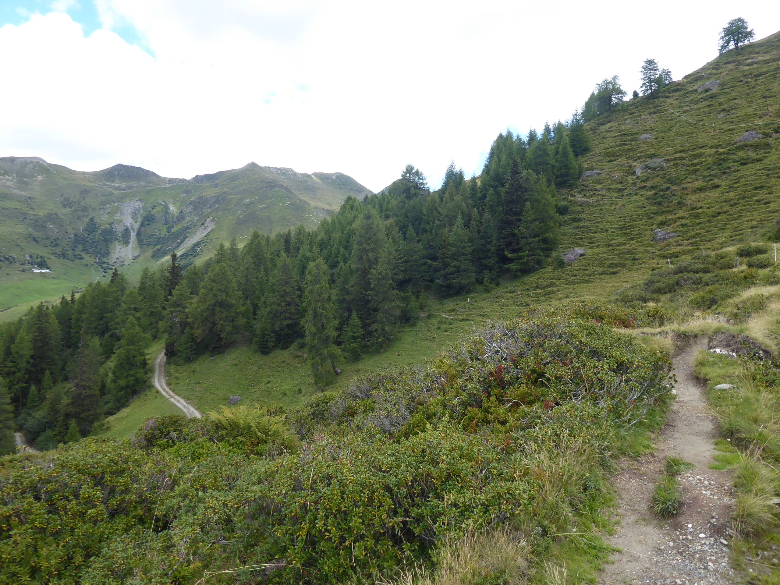
The path leads through hiking trails of the Tuxer Alps. Somehow the signage is already stupid and I can't shake the feeling that I'm on the wrong path.
Ultimately, the path I follow is actually the bike-friendly route to the alpine pastures and accordingly a drivable forest road. It annoys me a bit, but there are only 2 e-bikers to be seen. Practically everyone here rides e-mountain bikes.
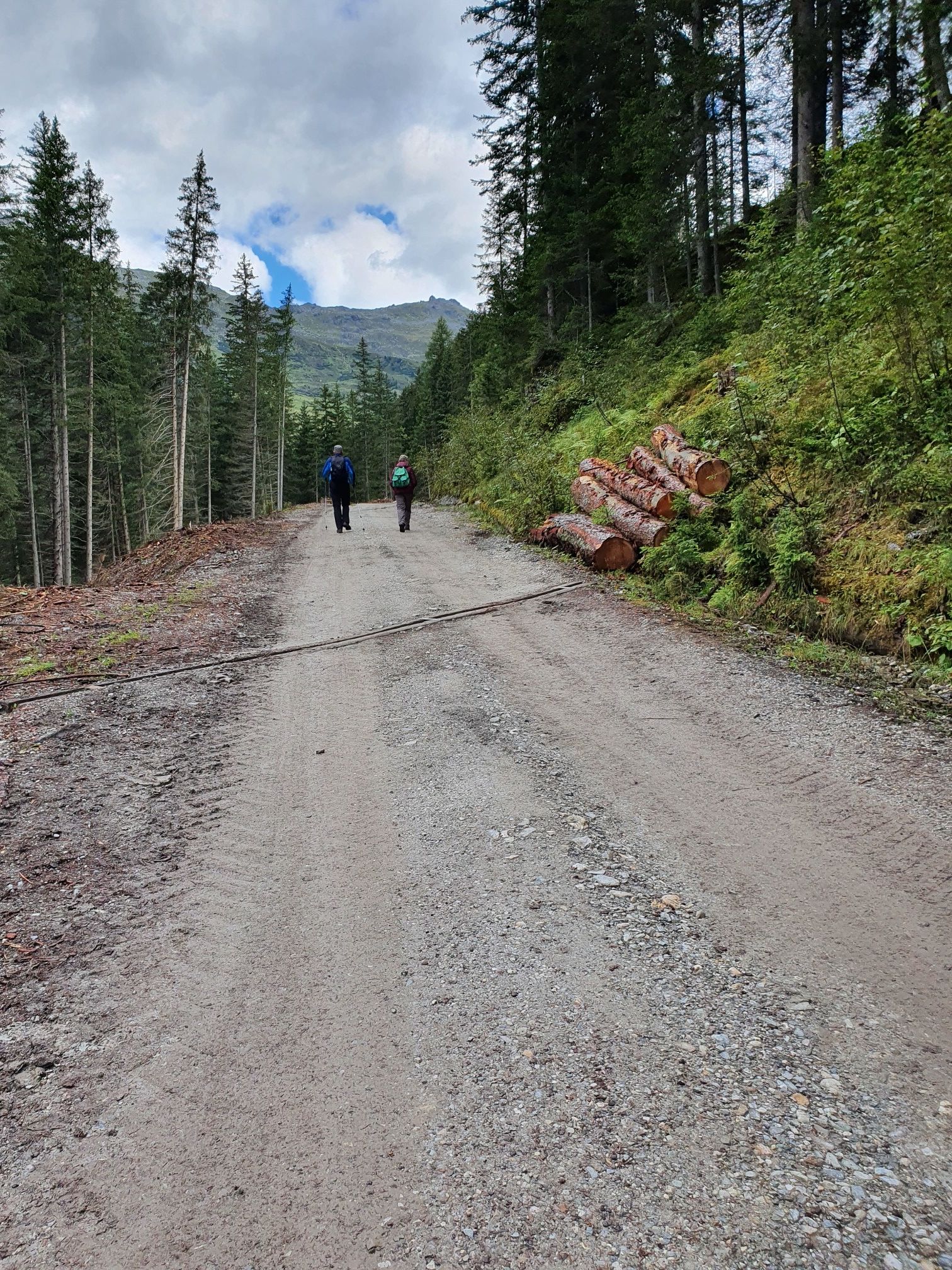
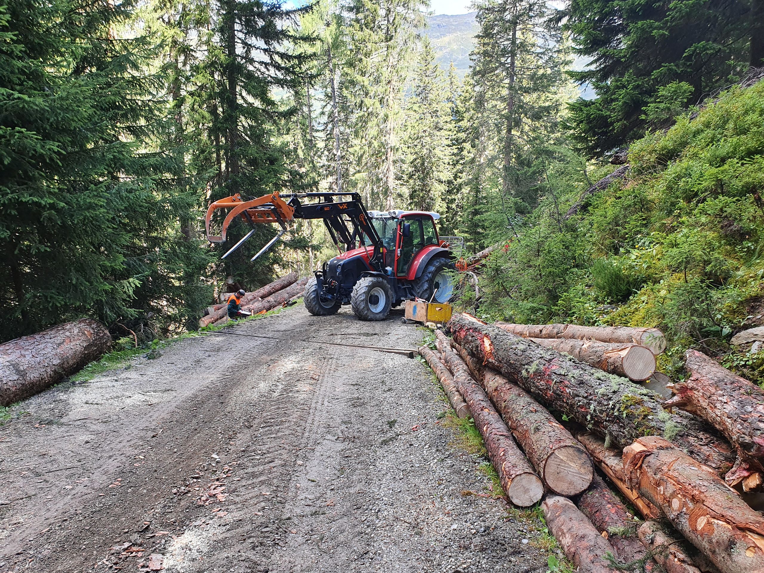
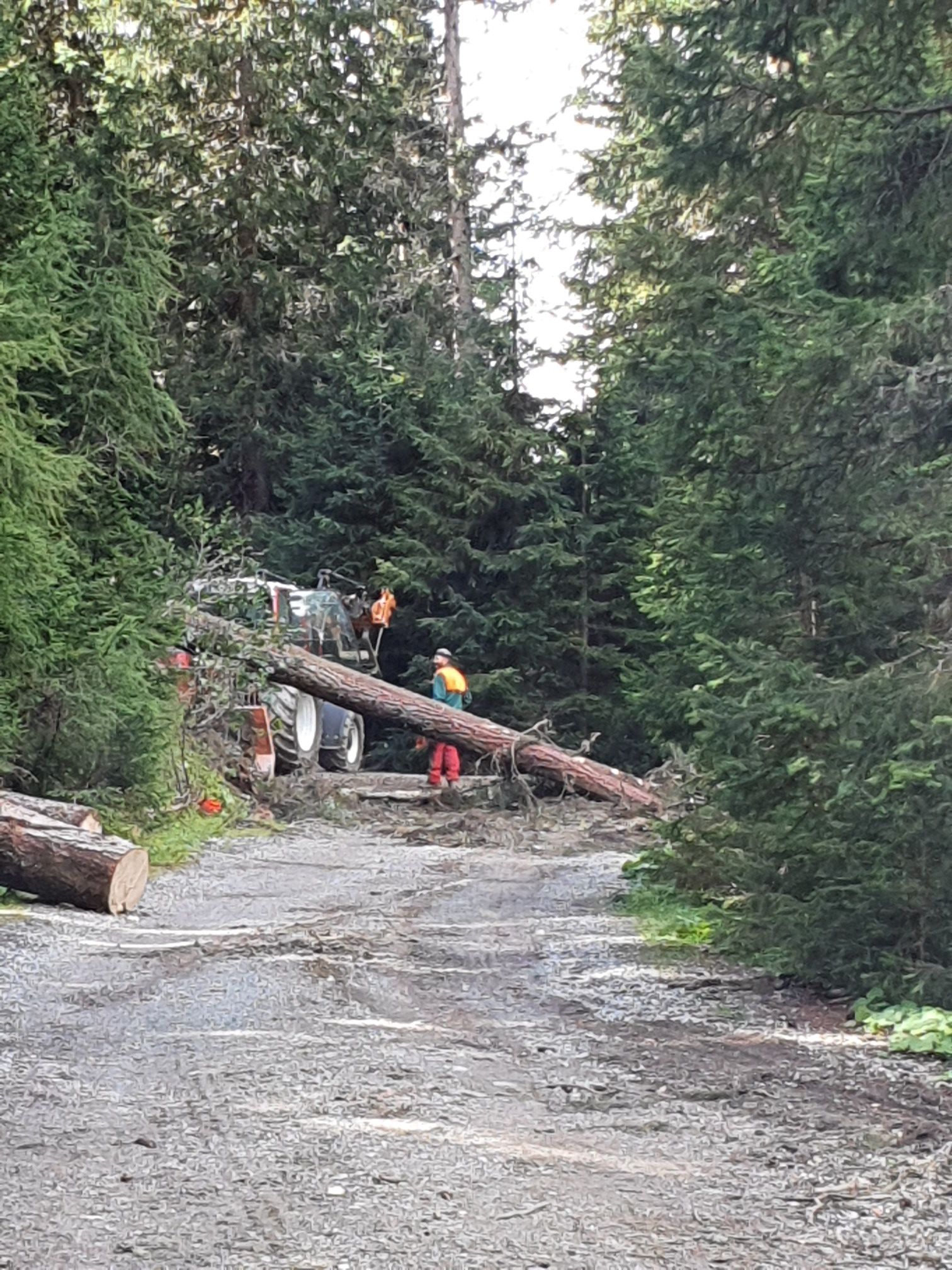
It's constantly uphill. After just under 3km, there are tree felling works and you are not allowed to go any further. I am on the verge of a scream when one of the workers waves and I crawl under a fallen tree and continue climbing through the forest.
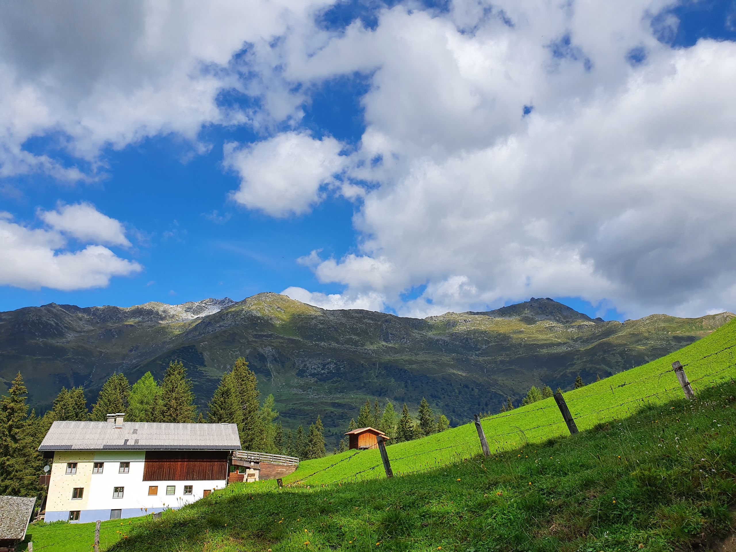
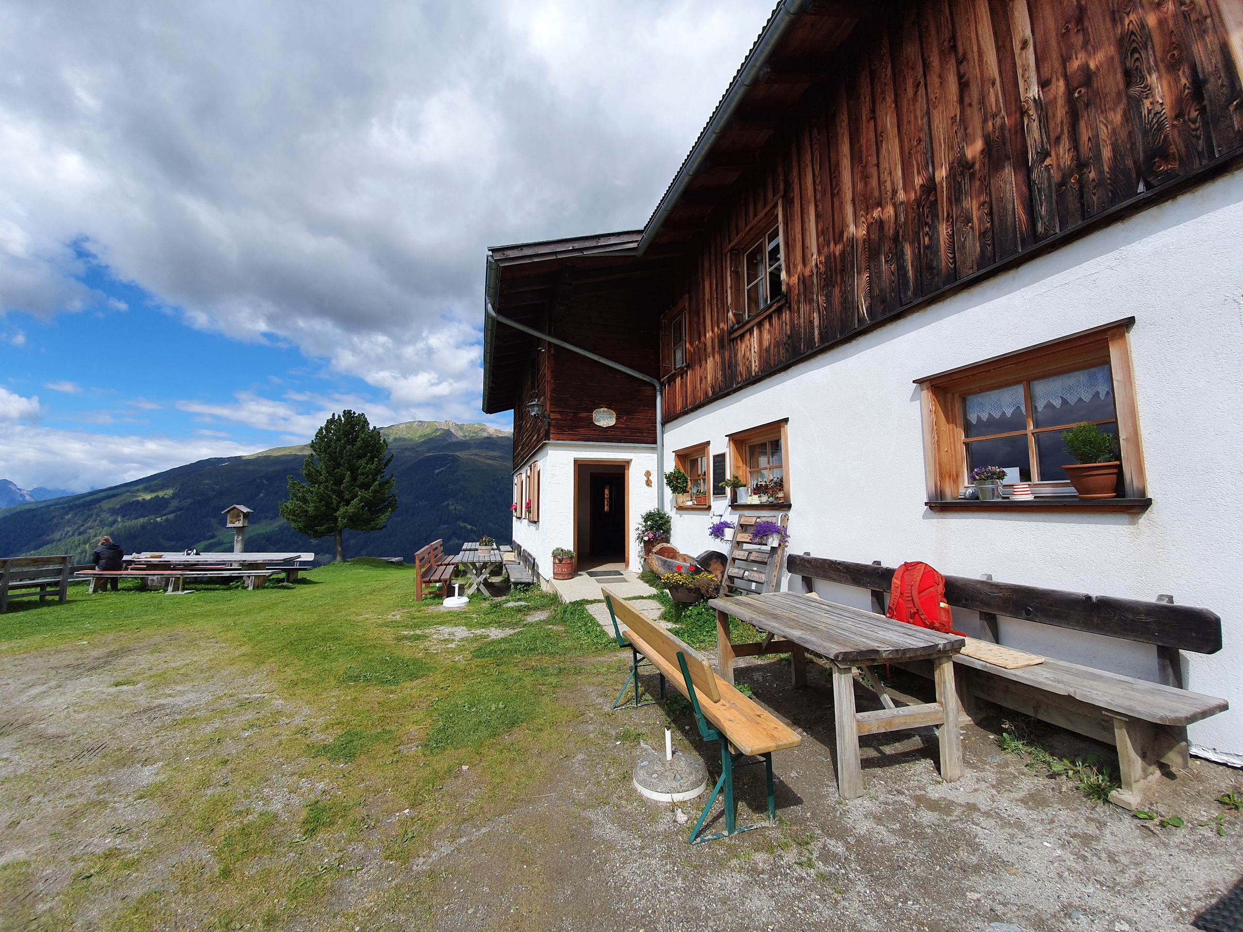
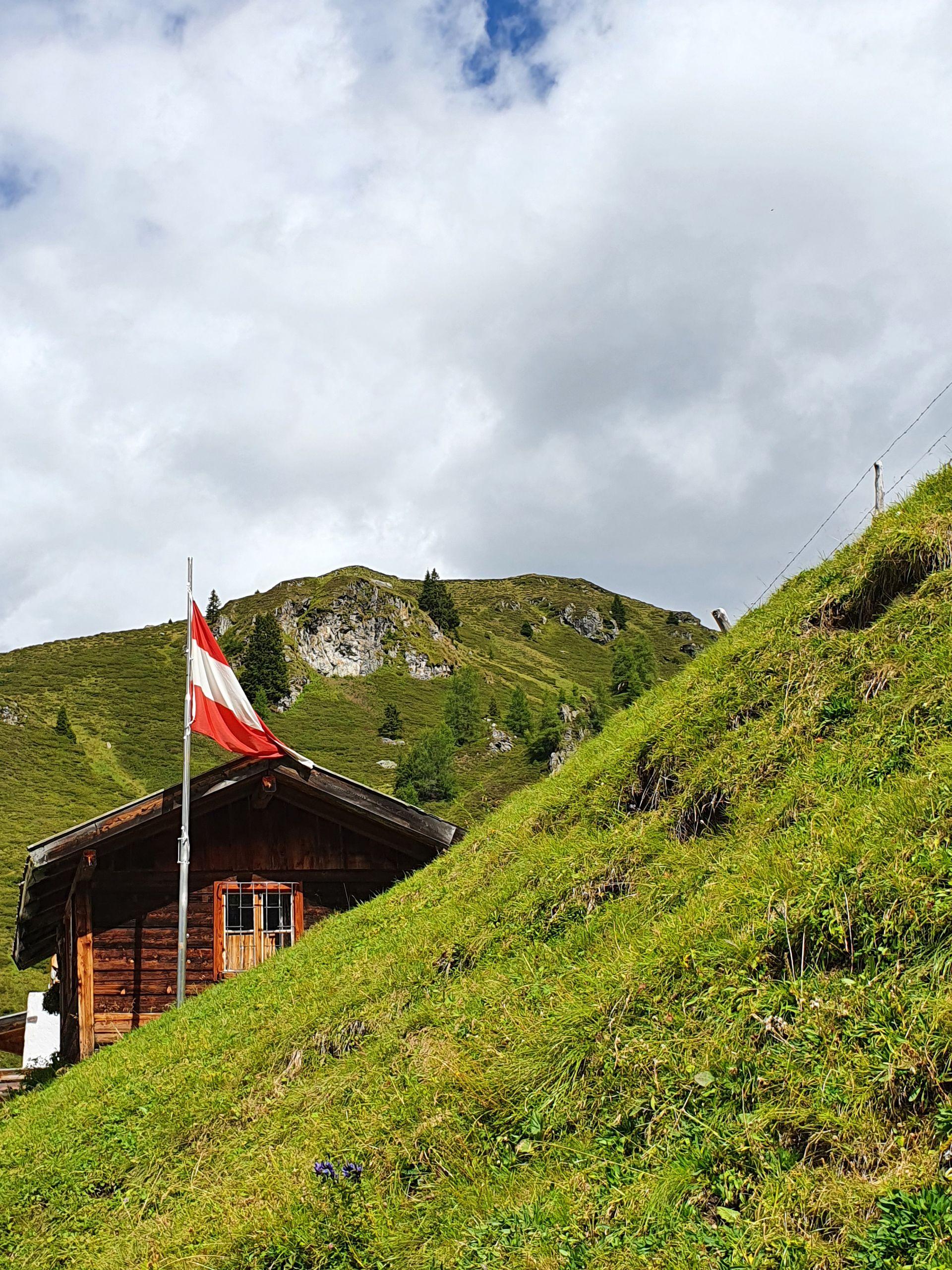
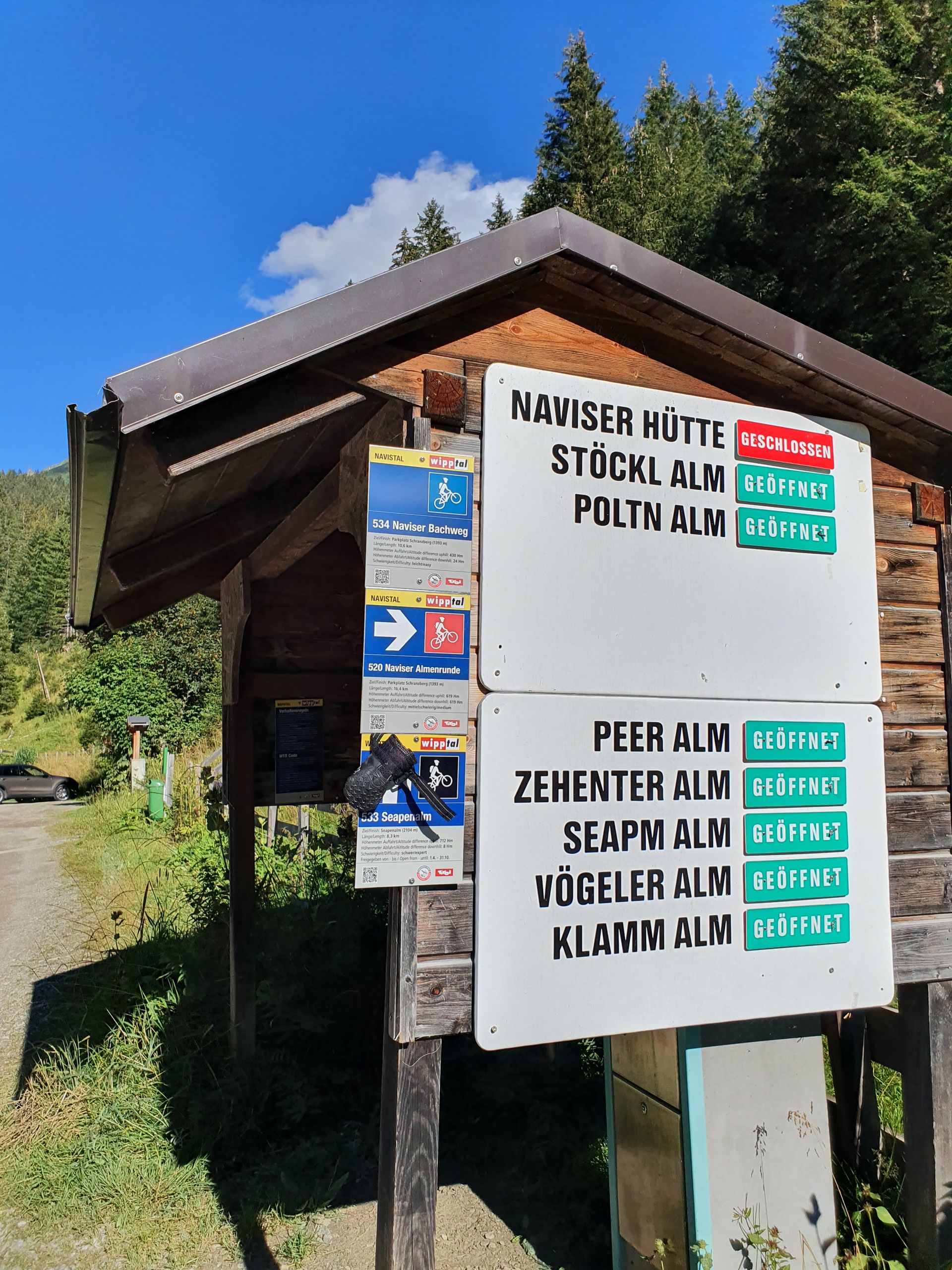
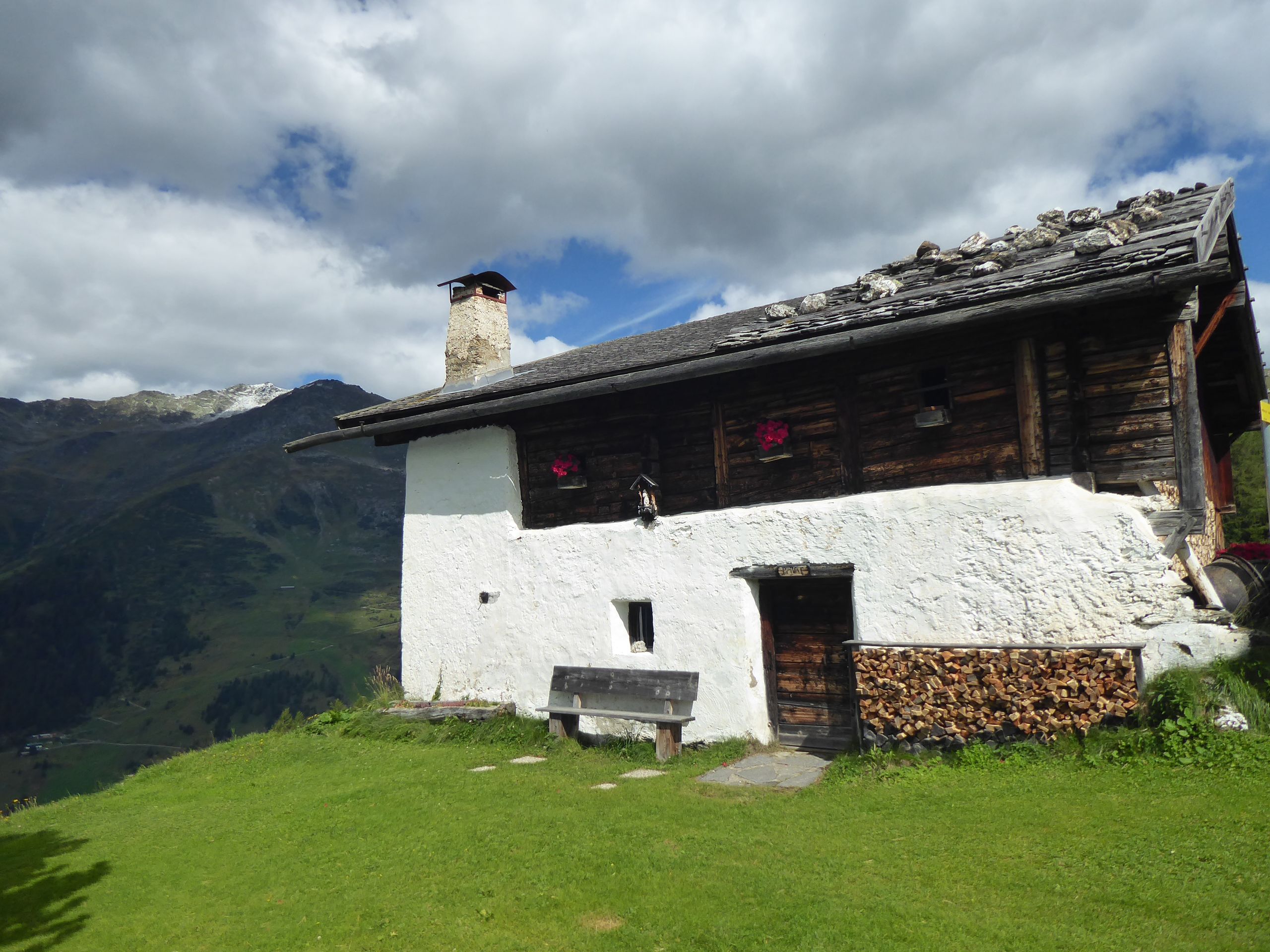
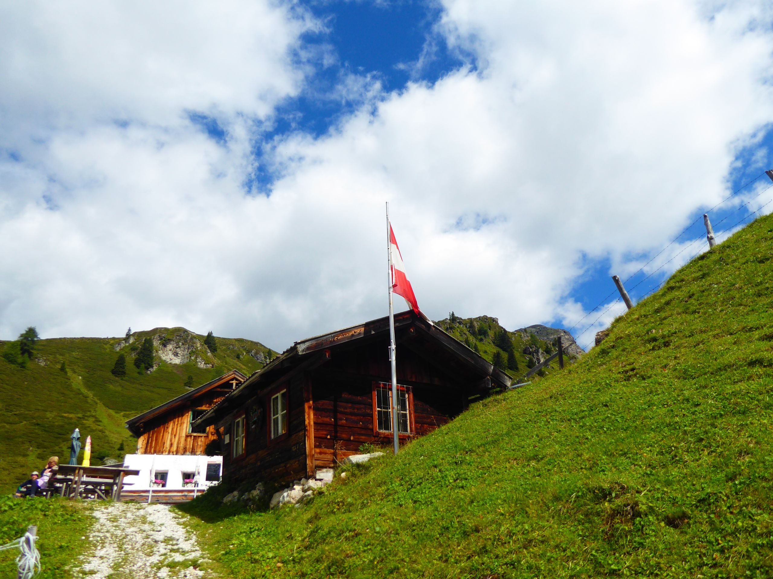
The first alpine pasture is the Naviser Hütte on the way, it is closed and I try to find out via Komoot which alpine pasture should be next.
Somewhere up there is the Klamm Alm at almost 2000m. In between there are still 2-3 other alpine pastures.
The path remains steep and I continue on. After half an hour I reach the Stöcklalm. I am already at 1882m altitude. The first 480 meters of altitude have been completed.
A break of 20 minutes and a cold cola later, I continue. The young alpine innkeeper recommends a narrow path that would be much nicer than the forest road... Unfortunately, that wasn't such a great idea.
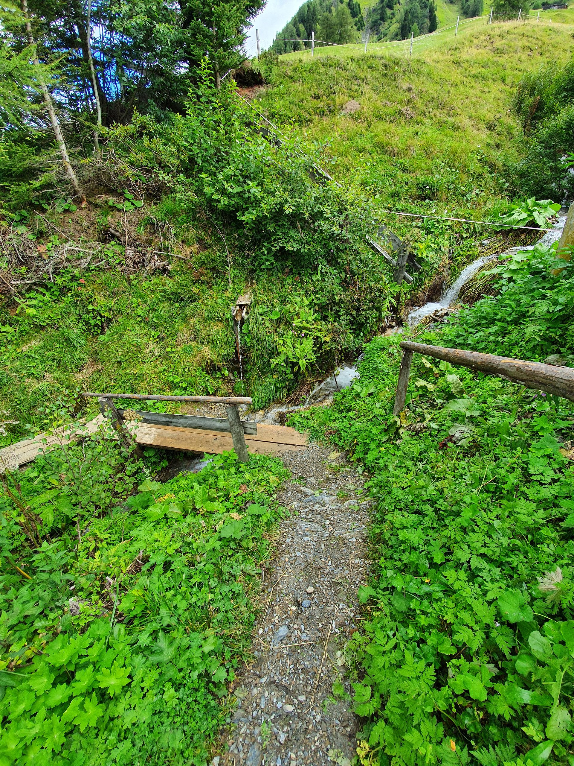
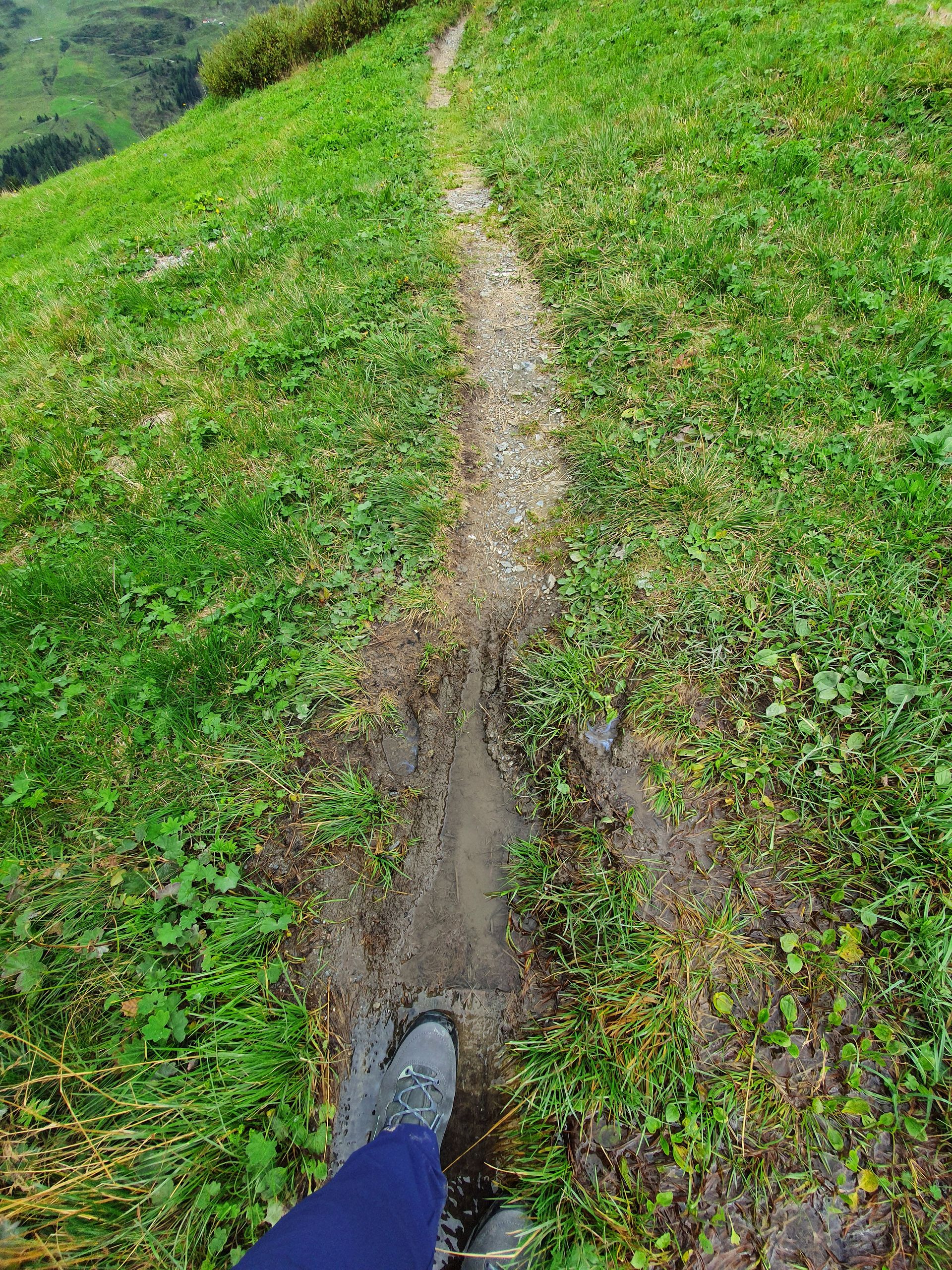
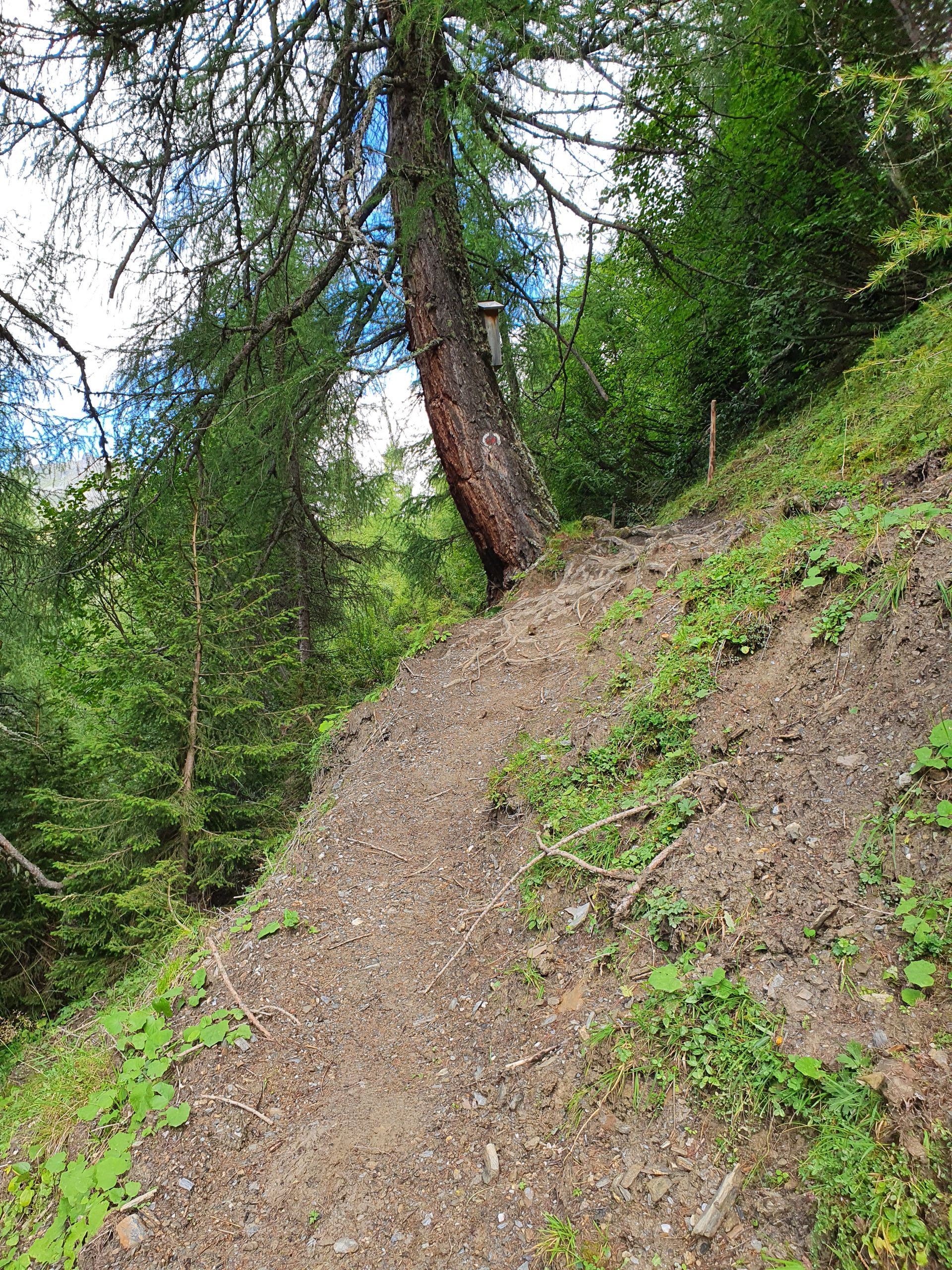
I climb over a few fences and walk through a few shallow streams and follow an extremely muddy footpath, which is partly covered with slippery boards, and I almost trip once.
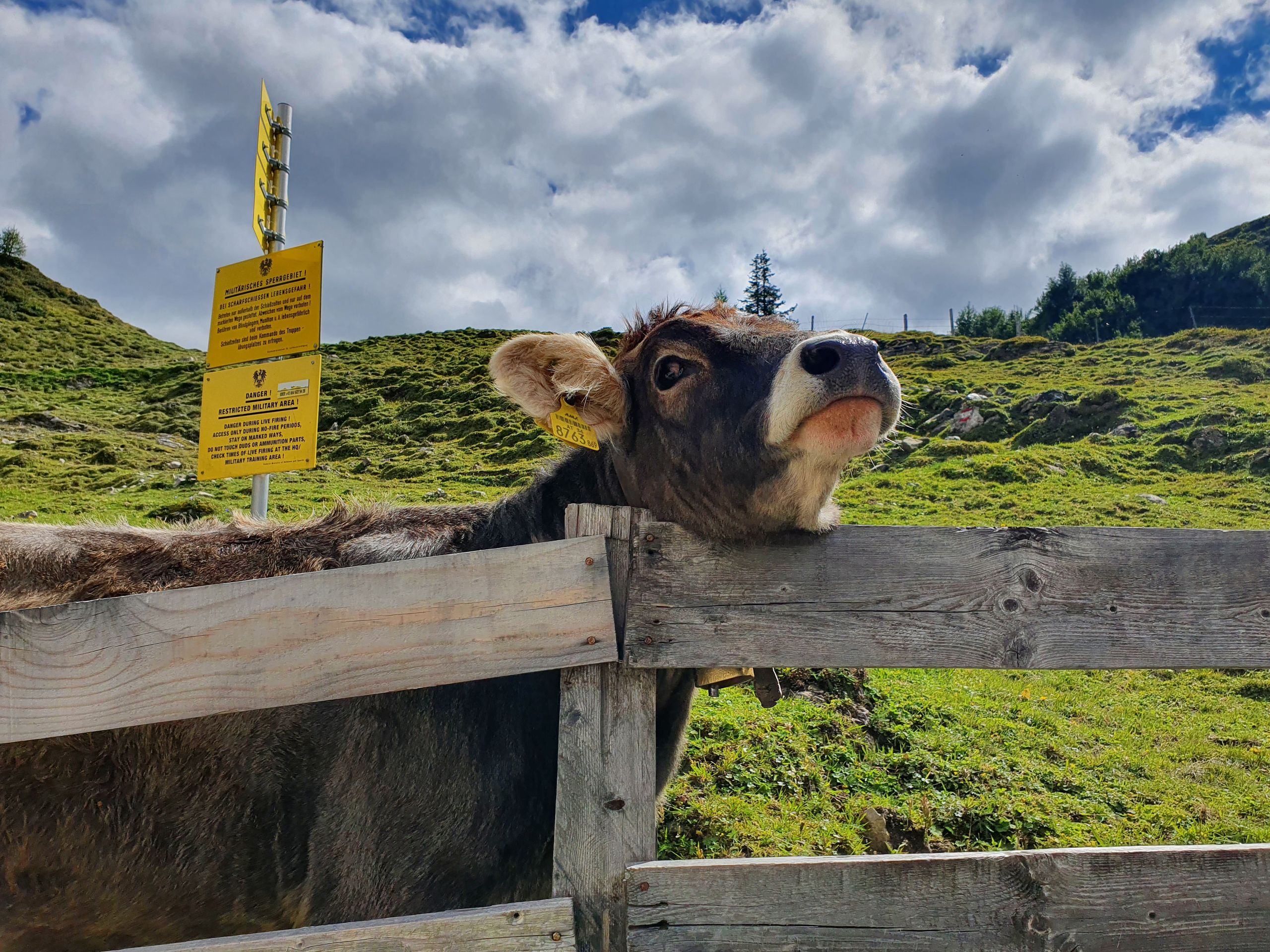
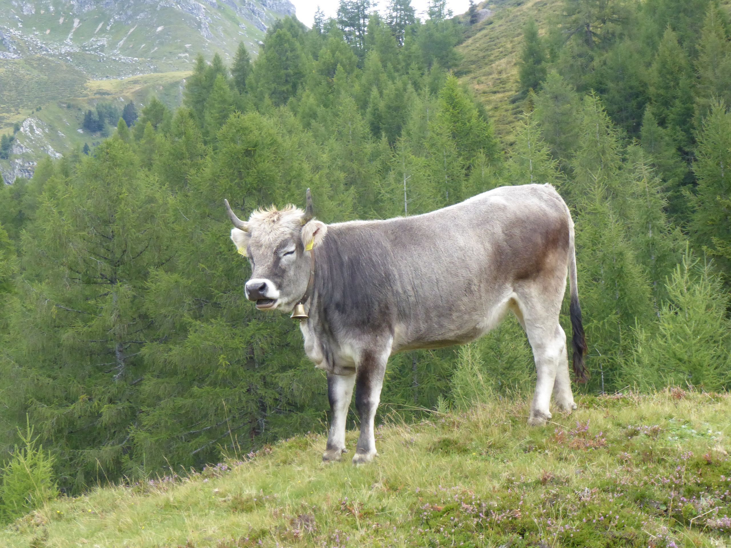
Behind the next alpine pasture there are cows on my way. I'm not so thrilled about that, but I sneak behind a cow and follow this path, which now leads into a forest. Slippery roots up and down, I'm slightly annoyed 🙄, because turning back is not an option anymore.
The path reaches a meadow, at the end of which there is a fence again and behind it a gurgling mountain stream, which carries a lot of water and offers only slippery stones. I look back and forth to find a flat spot, but I always have to step on at least two stones, the stability of which I would only find out once I step on them or already have wet feet or am lying in the stream. I have to give up and climb back over the fence and walk back along the dirty path, cursing, for 20 minutes until I find a junction to the Klamm Alm, which would have been only 20 minutes above this stream.

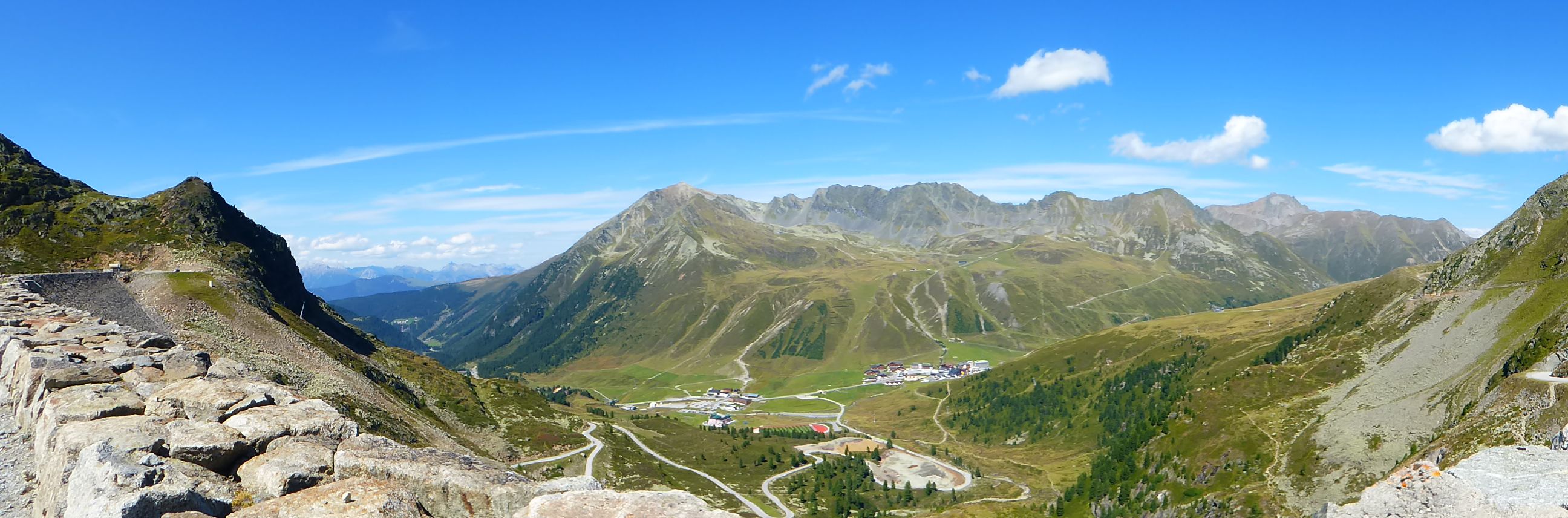
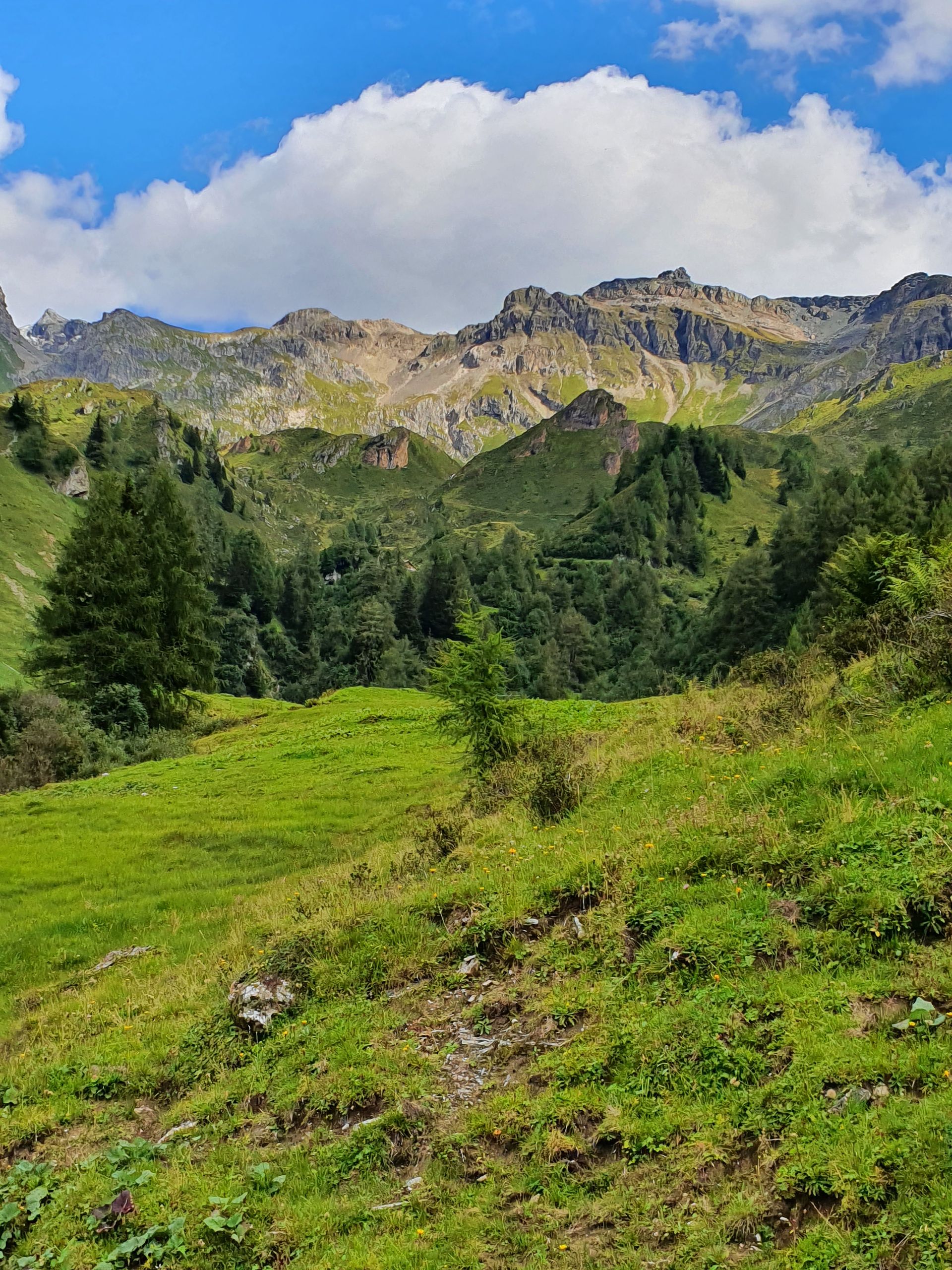
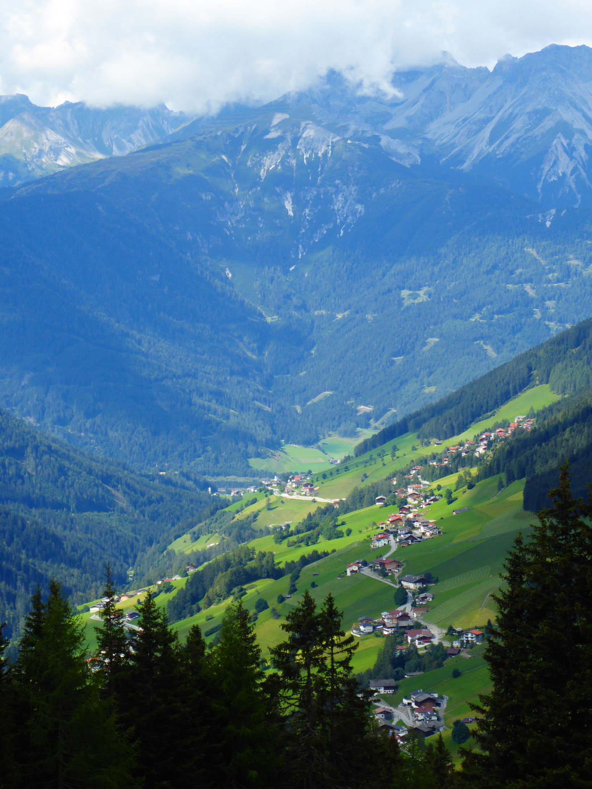
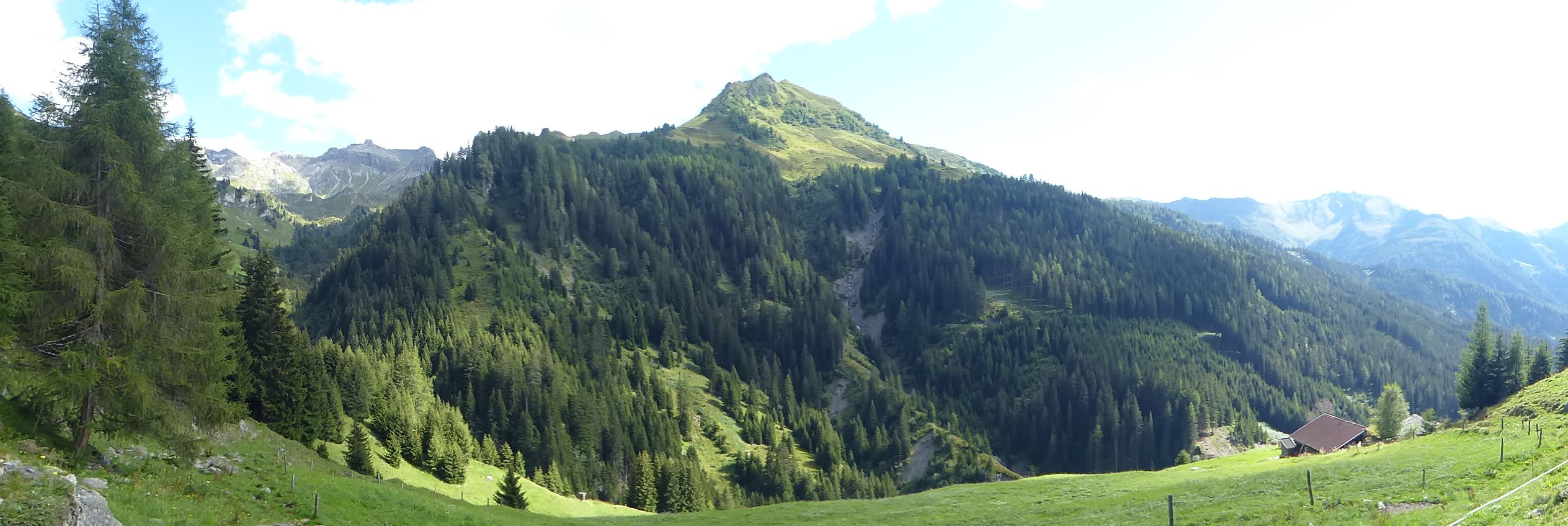
Of course, the forest road is wider and not muddy, and apart from the fact that it continues uphill, it is much easier to walk than this supposedly beautiful path, from which I am now away. The panorama, which I have had around me the whole time, is simply fantastic.
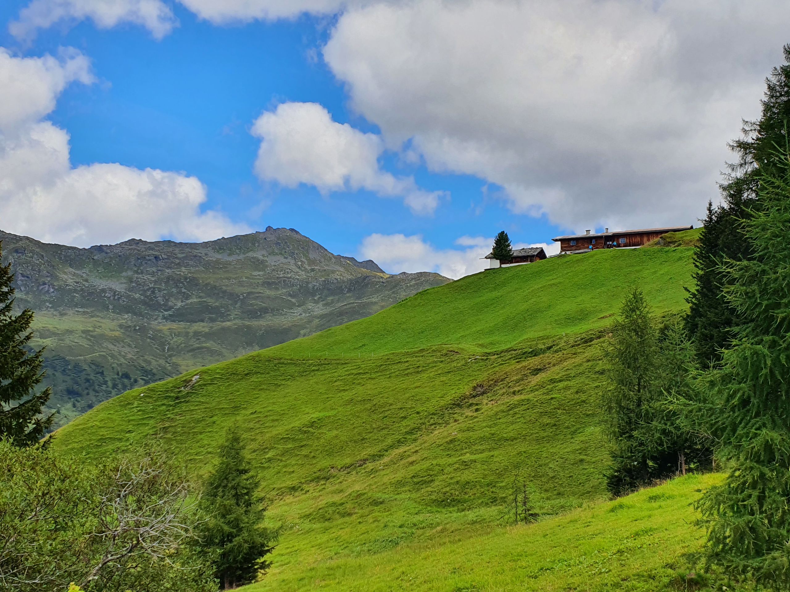
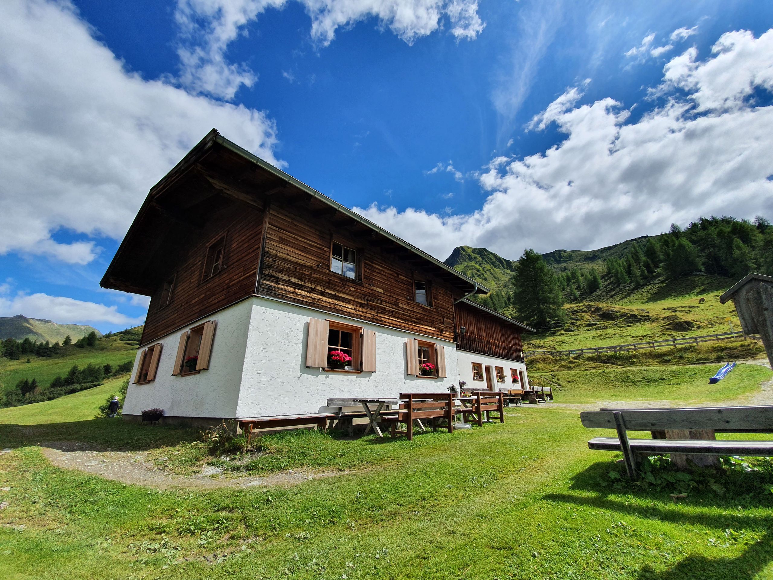
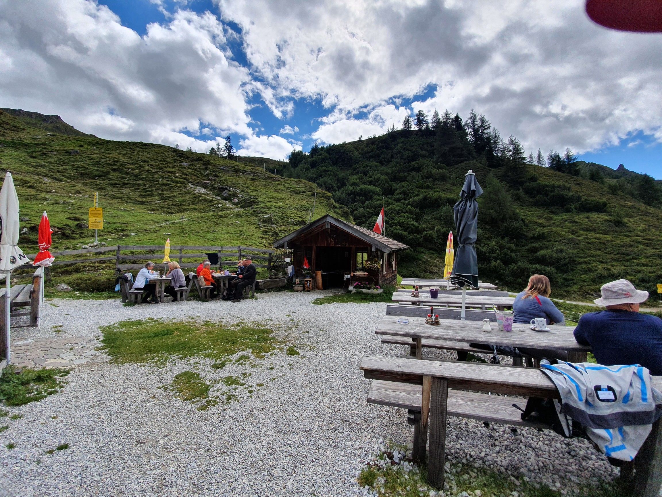
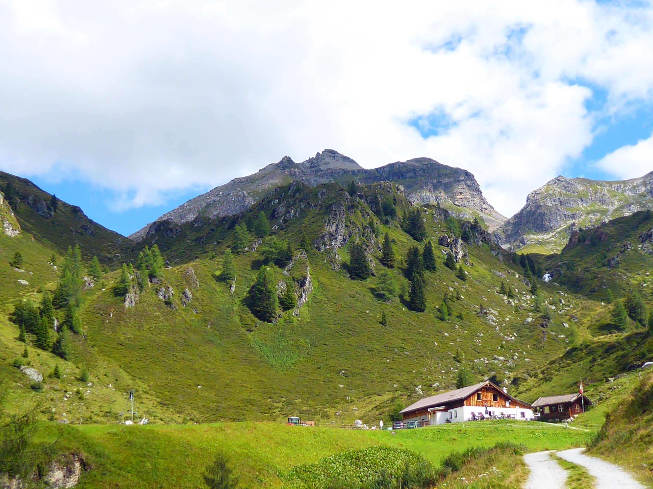
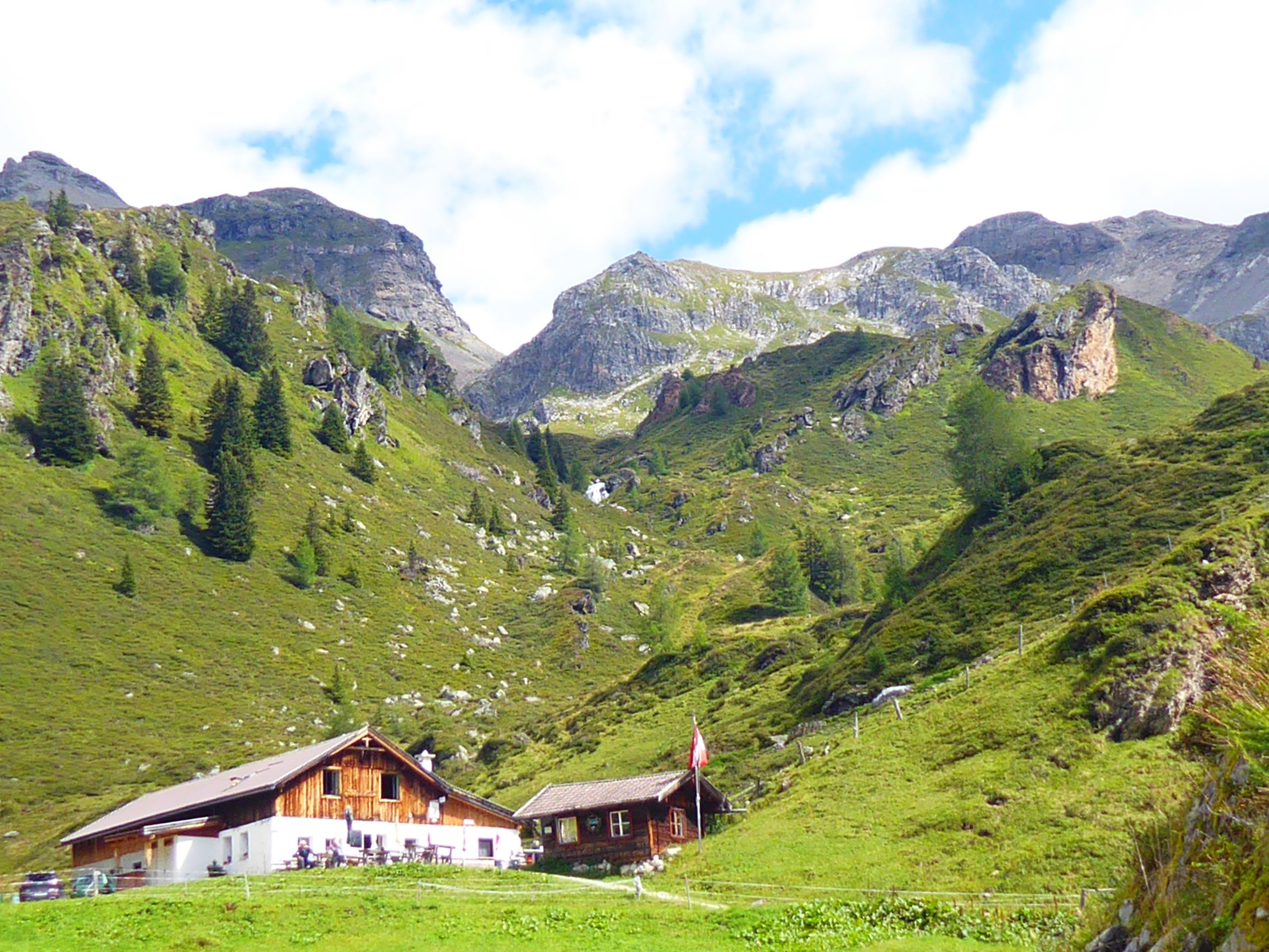
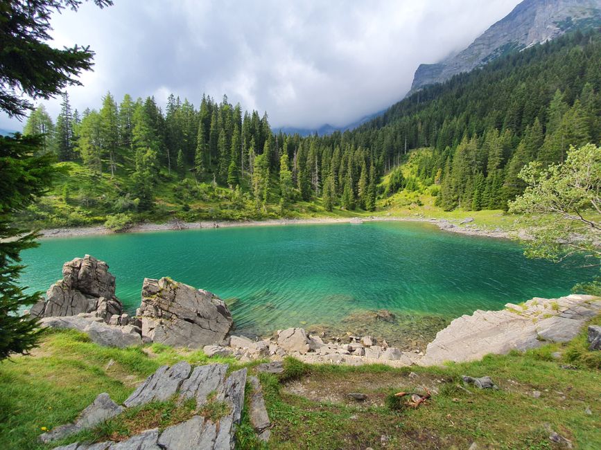
I am slowly above the tree line when I reach the Klamm Alm at almost 2000 meters around 1:30 pm. Here a wild stream rushes down through a canyon, and above the alpine pasture you can see rugged rocks.
I think I deserve a small snack after walking uphill for 3.5 hours and treat myself to a piece of apple cake. Unfortunately, it's not that great and tastes like it's from the day before.
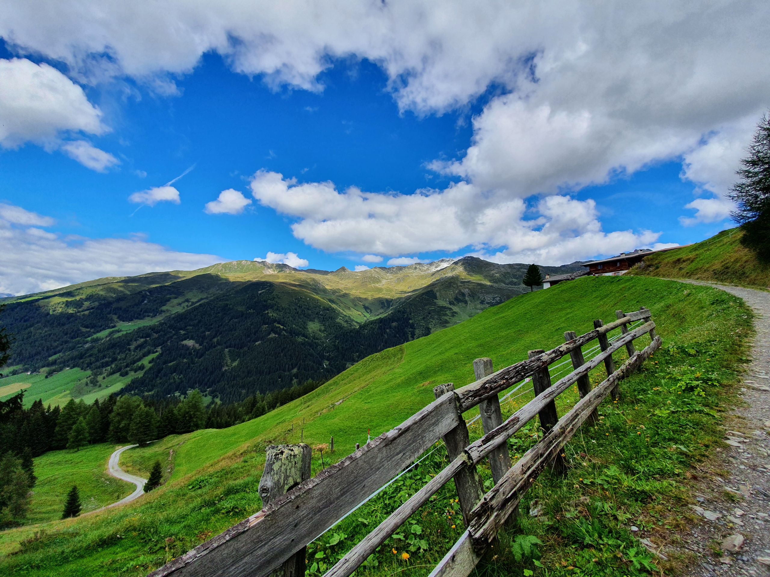
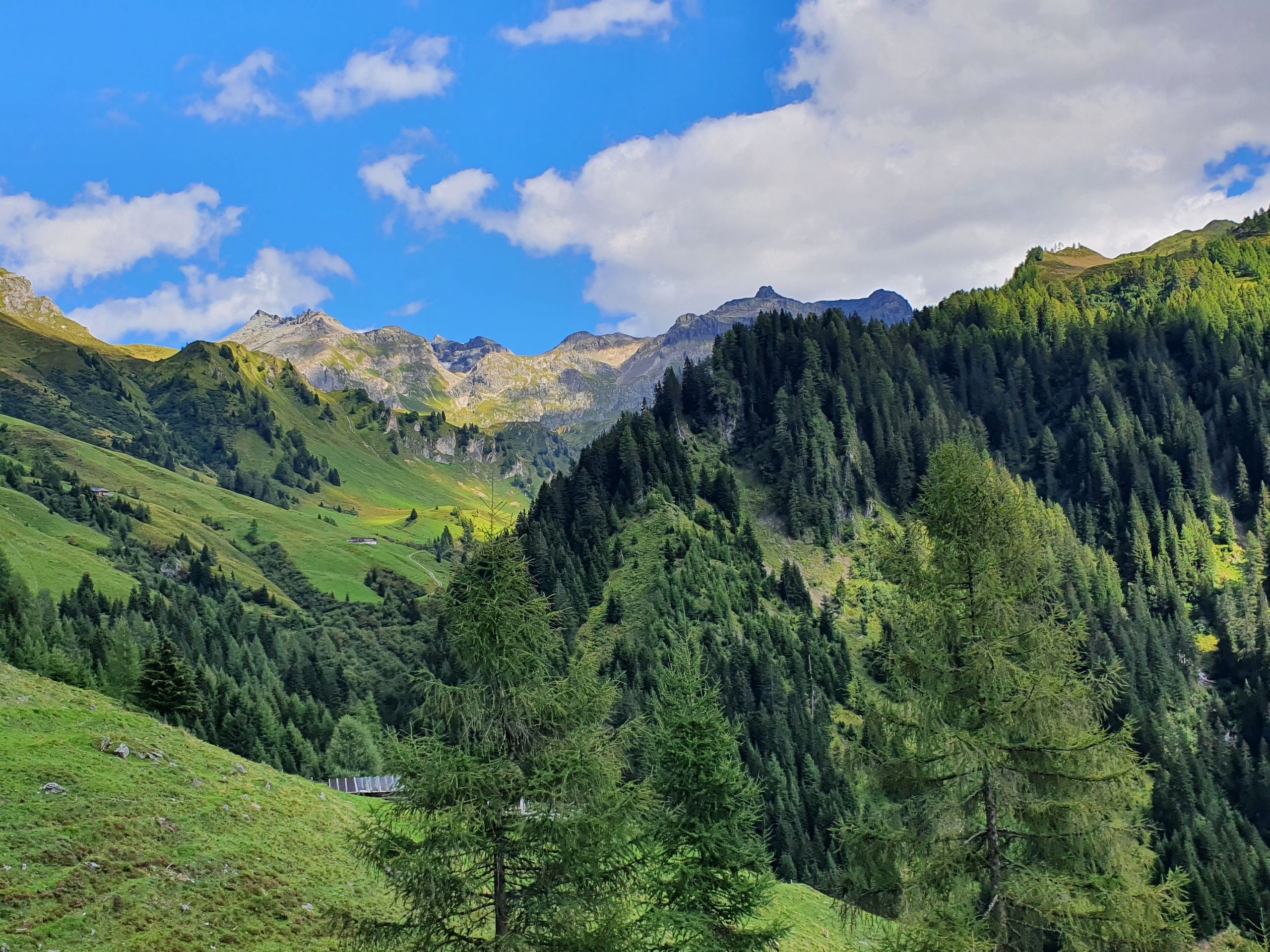
But the view is simply amazing. I regret not being able to spend more time here, but the descent will surely take at least 2 hours (in the end it was 3 hours). It's about 2 pm when I set off again and consciously choose the bike path. Since it should be no more than 11 degrees, I now walk with 2 jackets on top of each other and wouldn't mind wearing gloves. The path is like walking downhill and it's incomparable to the way there 😊
It leads along several small waterfalls and due to the good condition of the path, I can enjoy the magnificent view very much. It's a dream! Especially now that the sun is shining. The Peer Alm at 1600m is my third stop.
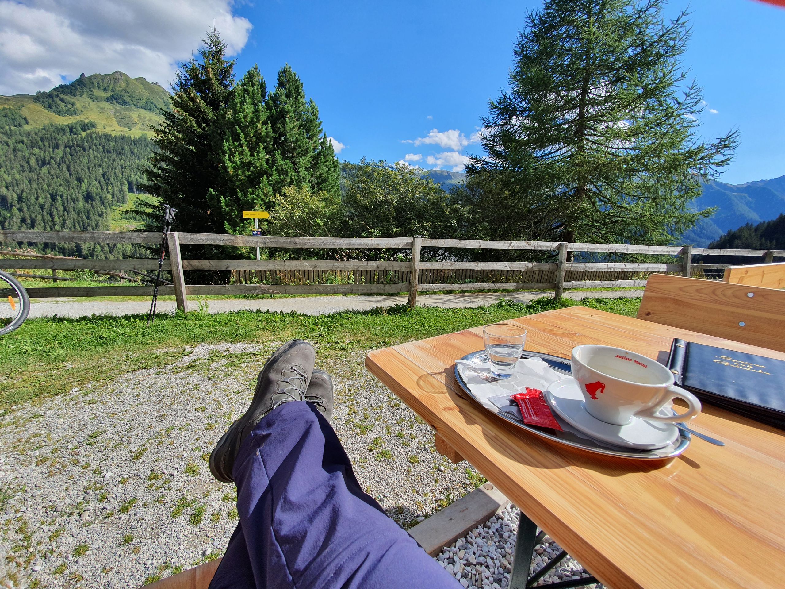
I sit in the sun, enjoy a delicious cappuccino, and take a short break of 20 minutes. Here I can part with my thick fleece jacket and continue walking in the thin jacket. Since this route ends at the parking lot 'Grün', but not at my parking lot on the other side of the river, I have to take a detour of about an hour, as after looking at the steep shortcut through a forest, I prefer to walk longer than to break my ears there. So the return leg covers the last approximately 4km on an asphalt road with a considerable gradient, to lead back to the car for at least another 1.5km. My feet are a bit sore, but I'm glad I have my hiking boots.
Without them, it's impossible here. At 5 pm, 7 hours after I started, I'm back in my car. I'm already a bit proud.
But tomorrow I will sit somewhere in the sun and let others hike. At the Raststätte Europabrücke I get a cheese sandwich and a cappuccino, sit in the sun for a while until it sets behind the next mountain, and then drive back to my apartment in Ausserkreith. Shower, feet up, end of workday.
Ба бюллетен обуна шавед
Ҷавоб
Ҳисоботи сафар Австрия