Trip to Northern Norway Part 2: Hiking and Camping at Fredvang and Å
Imechapishwa: 09.04.2021


Jiandikishe kwa Jarida
The hike begins
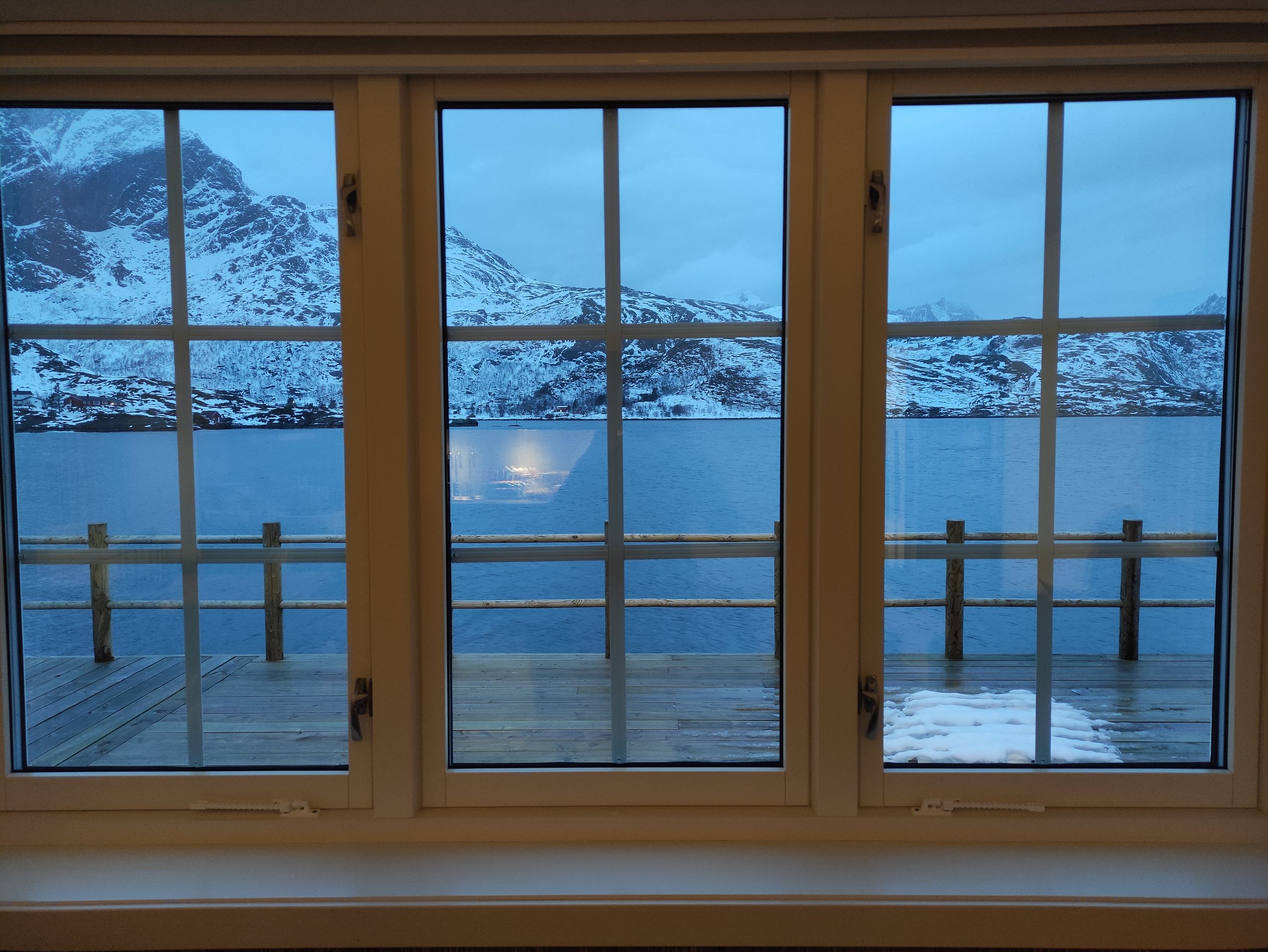
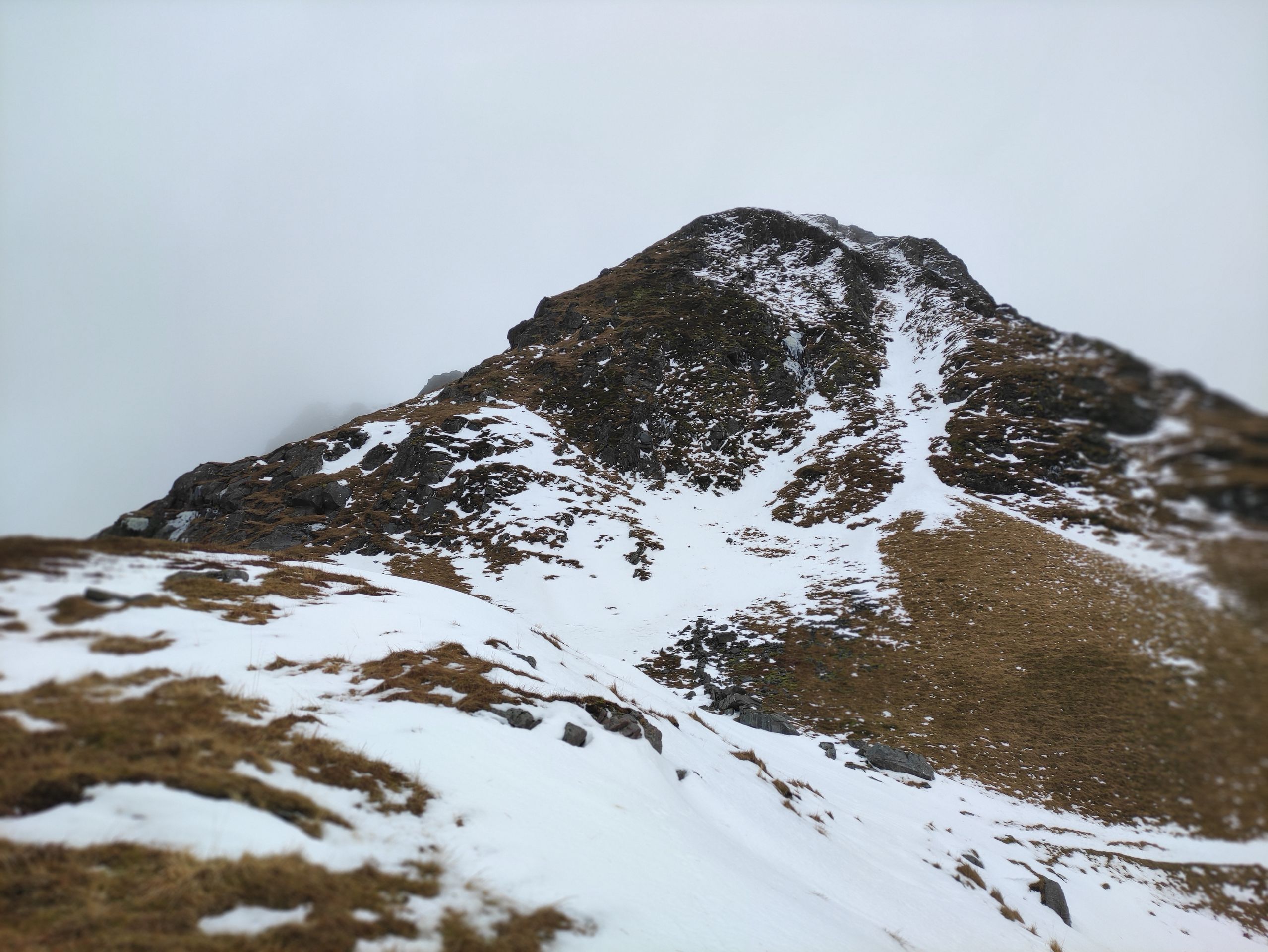
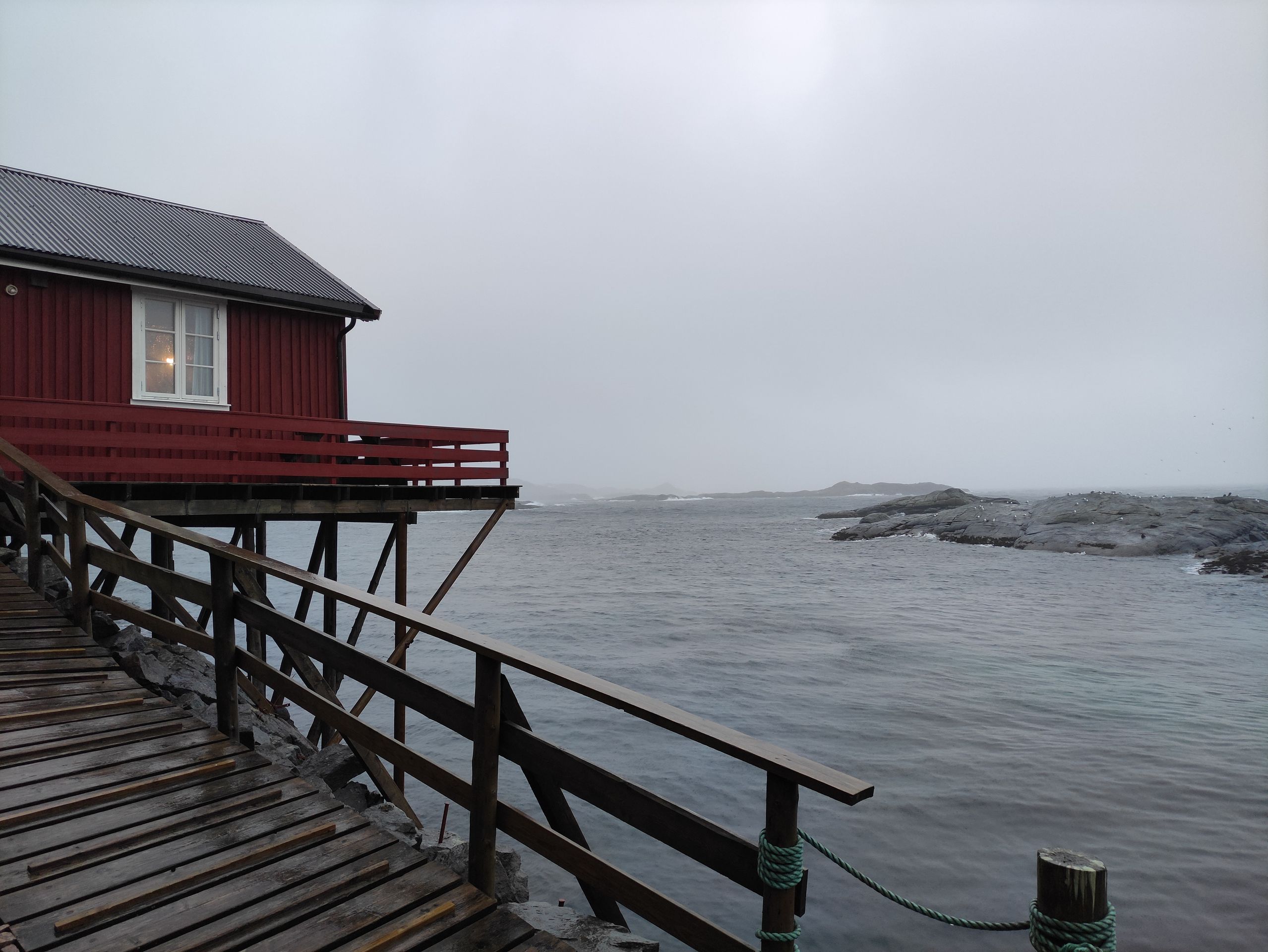
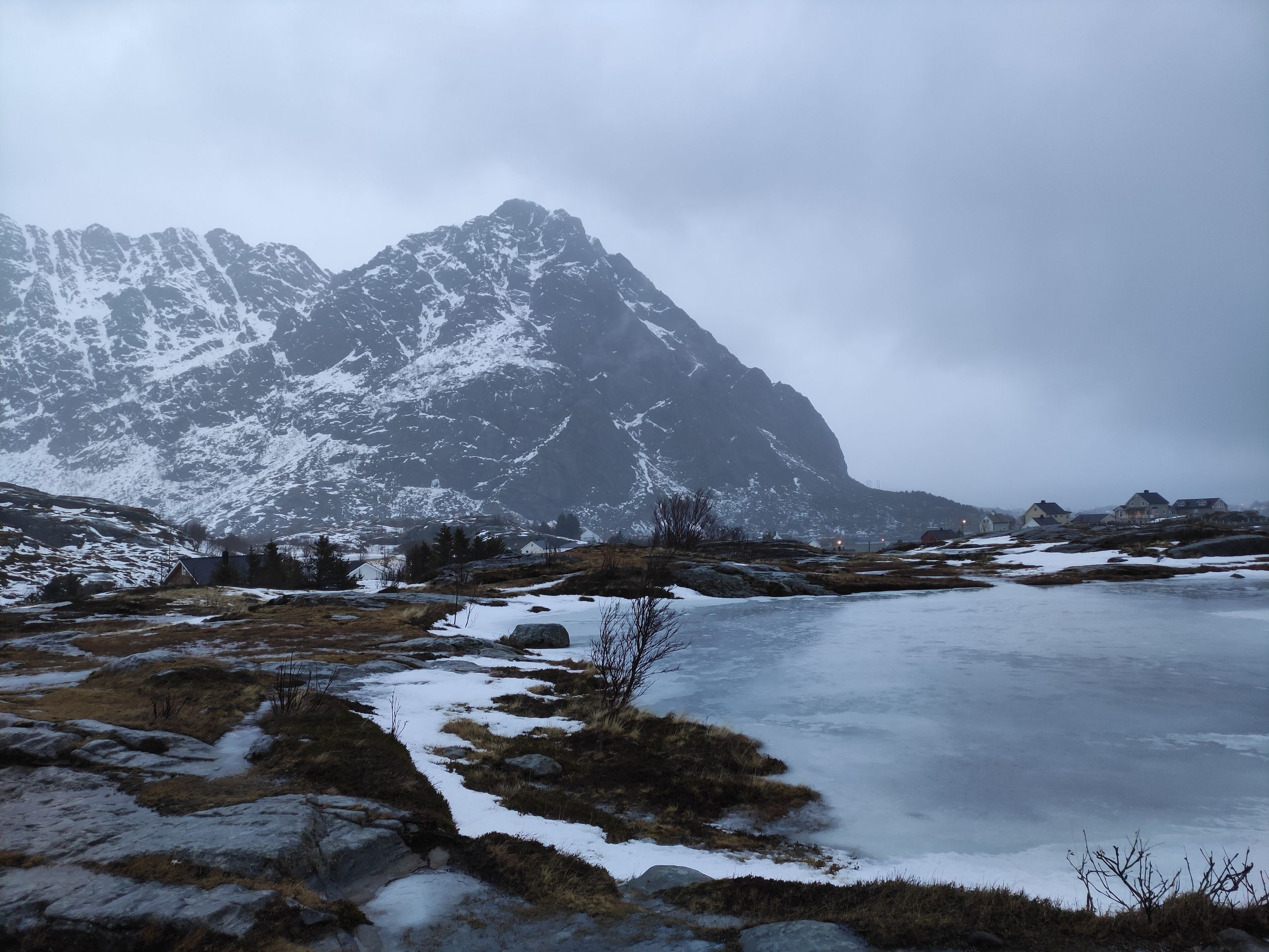
On Monday afternoon, we reach our accommodation in Ramberg near Fredvang. It is a cute, red wooden house, built on stilts directly above the fjord. We make the final preparations for our hiking trip, such as preparing the food. The landlord of the house lives right next door and we start a conversation with him. We tell him about our planned route. We had planned to hike for three days in the mountains near Fredvang, including the famous Kvalvika Beach and the high mountain Ryten. Pål, our landlord, is somewhat skeptical and concerned about the bad weather. Due to almost continuous rain in the past few days, the snow conditions have changed and the avalanche risk has increased to level 2. Pål contacts a friend of his who lives in Fredvang and is familiar with the area. She also believes that our plan could be dangerous due to the bad weather and recommends an alternative, shorter tour that stays on the front side of the mountains near the coast. We decide to follow the advice of the locals, although I am very disappointed that I will not be able to see the Kvalvika Beach and enjoy the magnificent view from Ryten. But safety comes first.
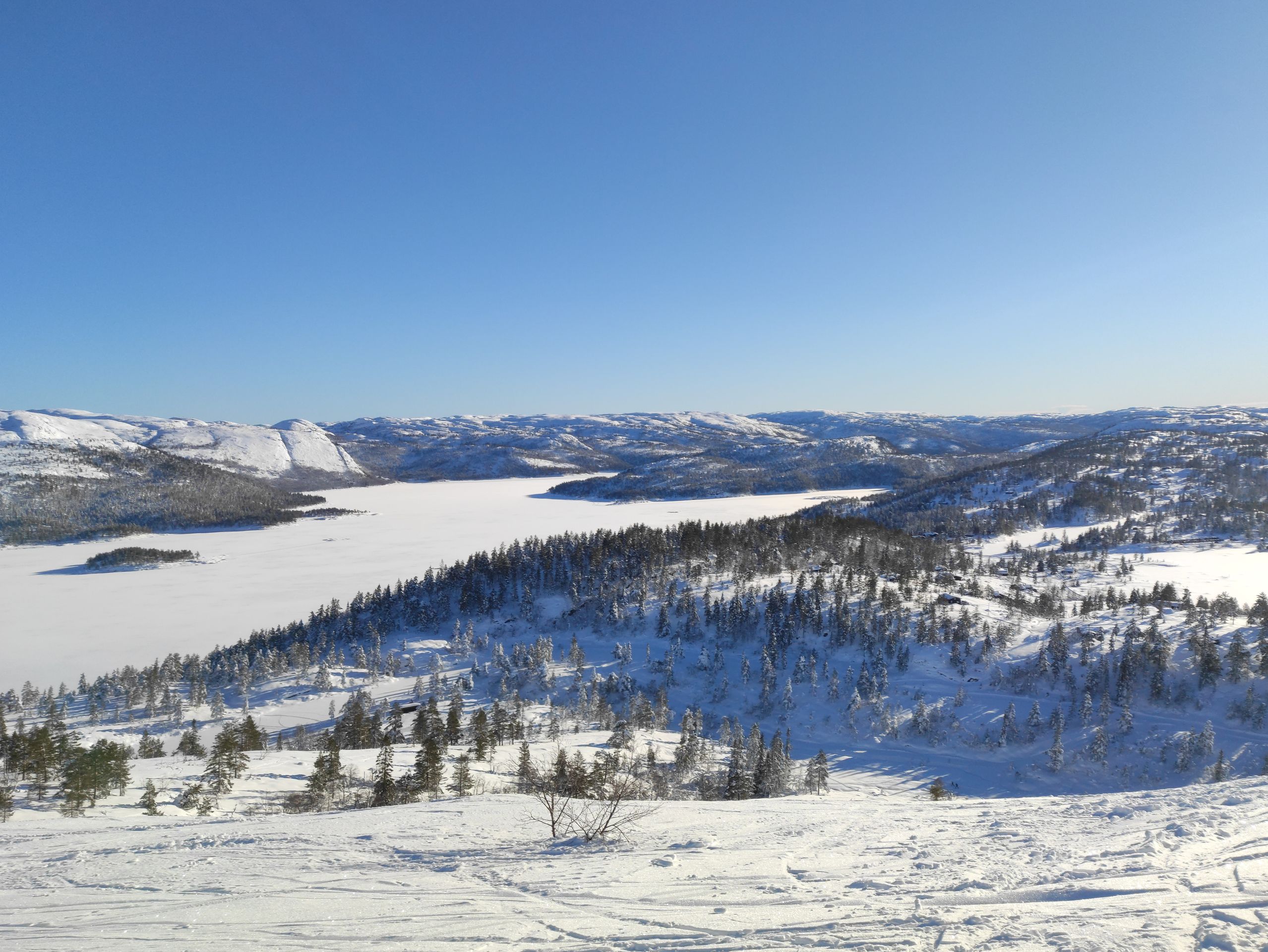
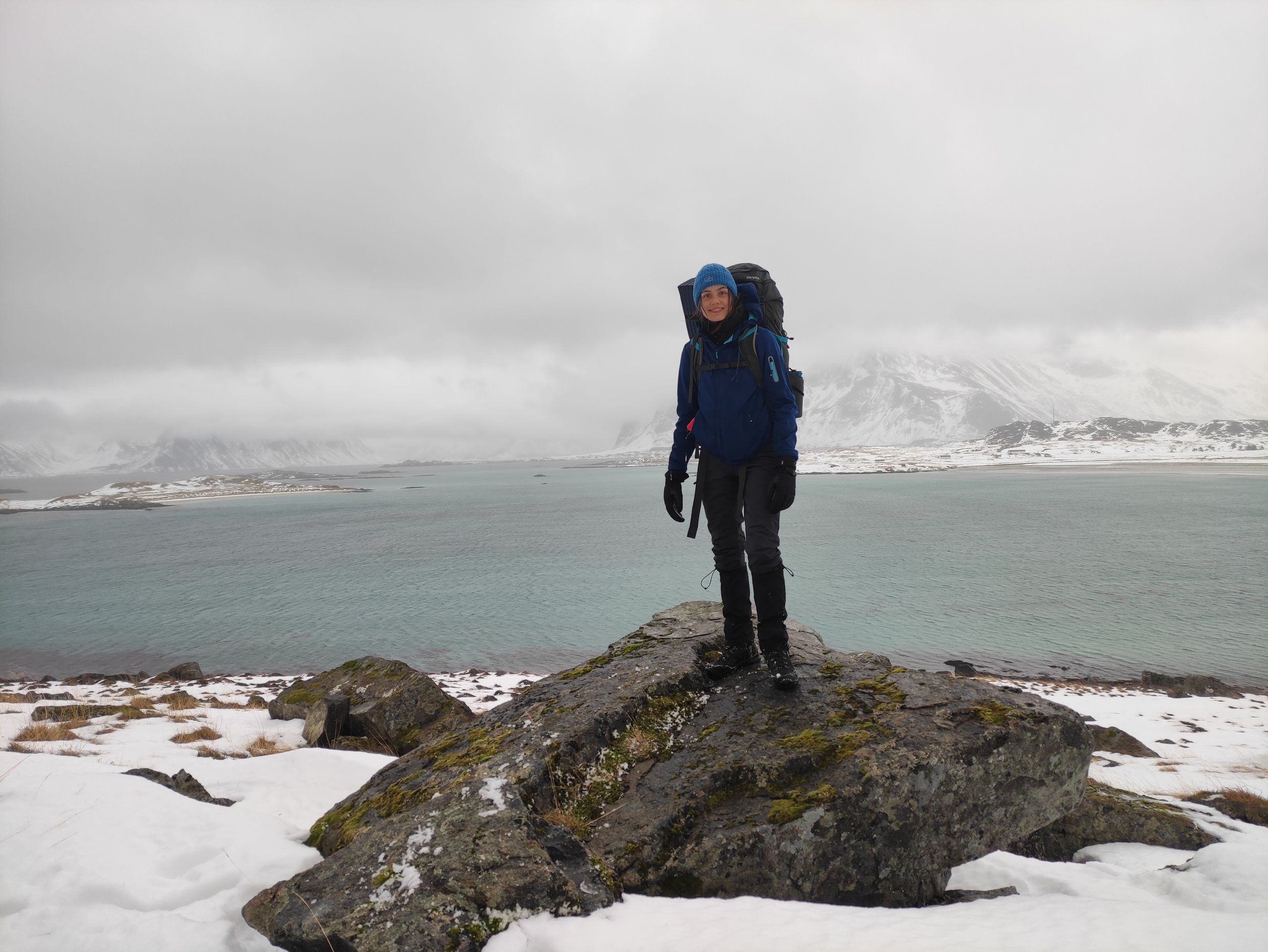
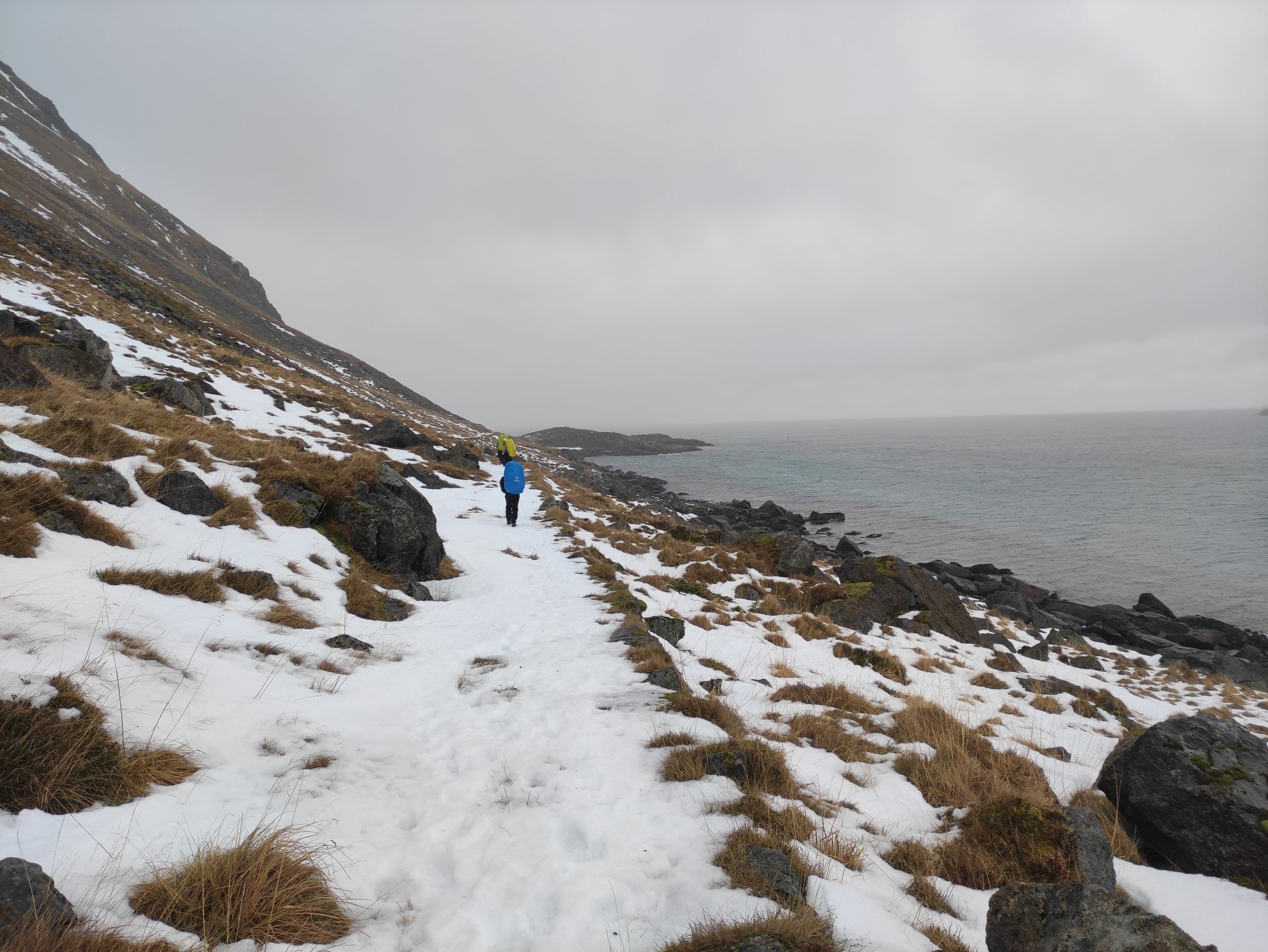
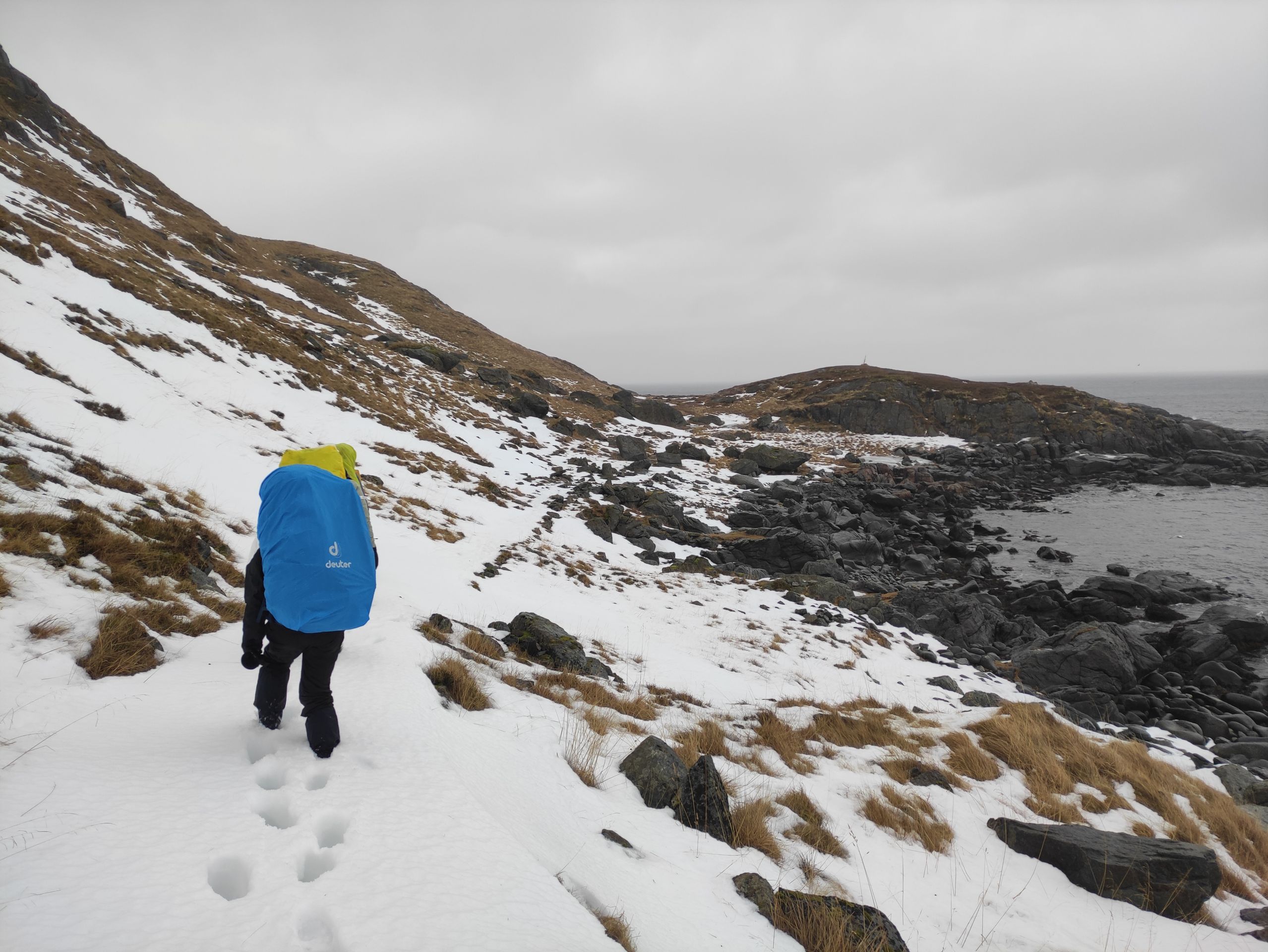
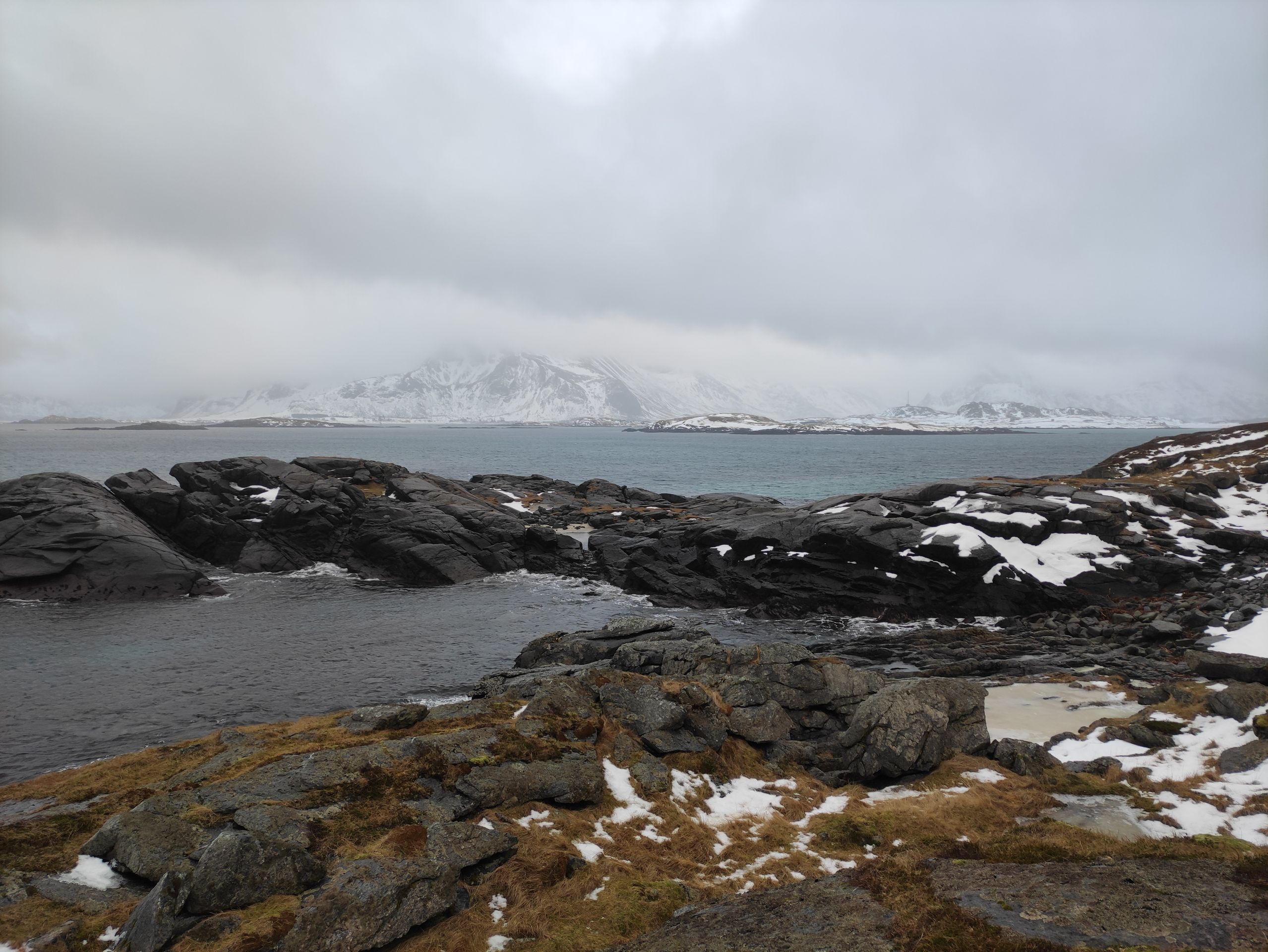
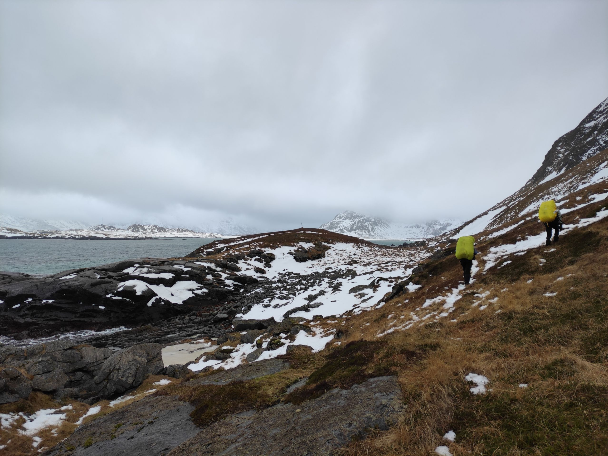
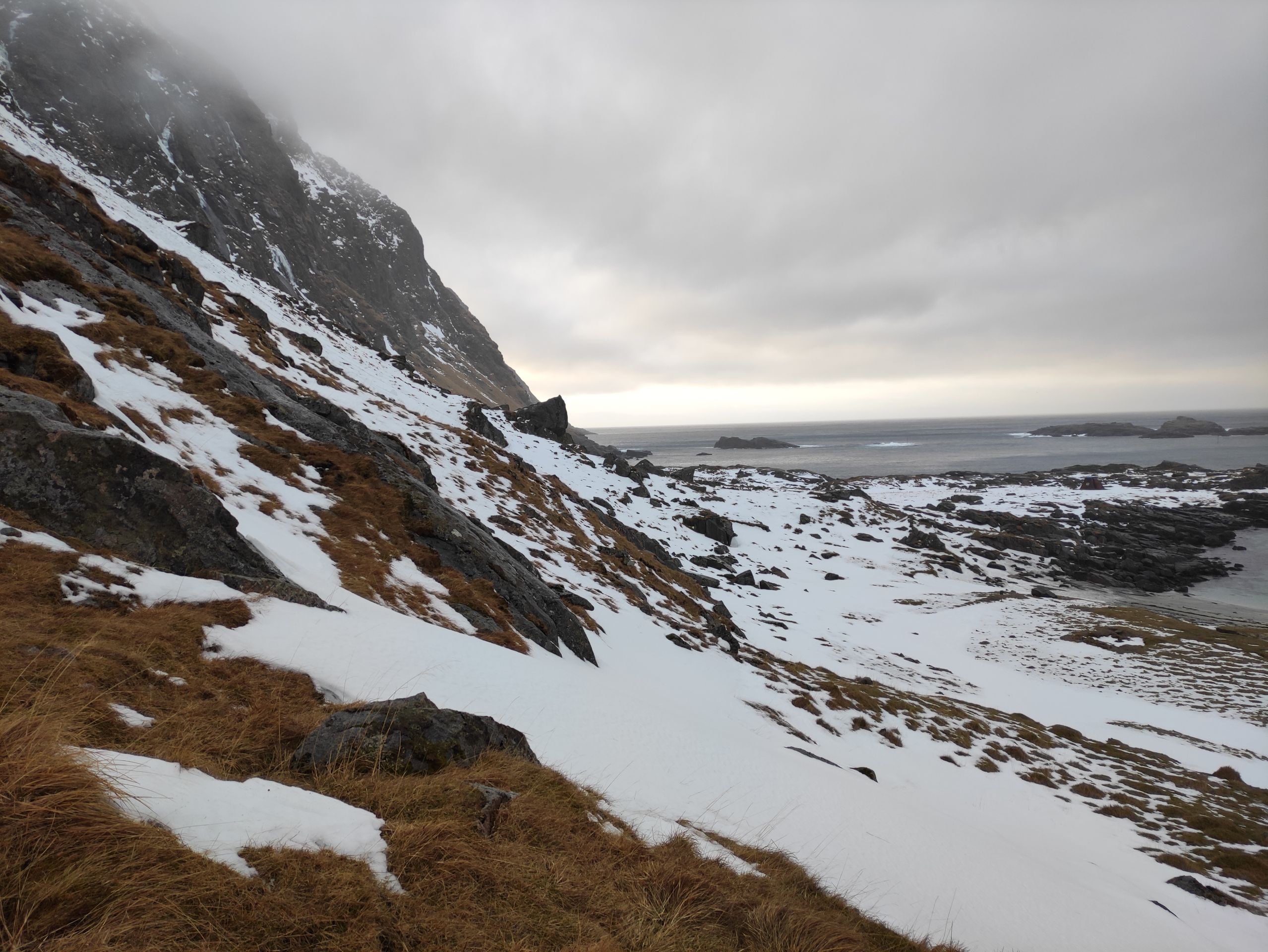
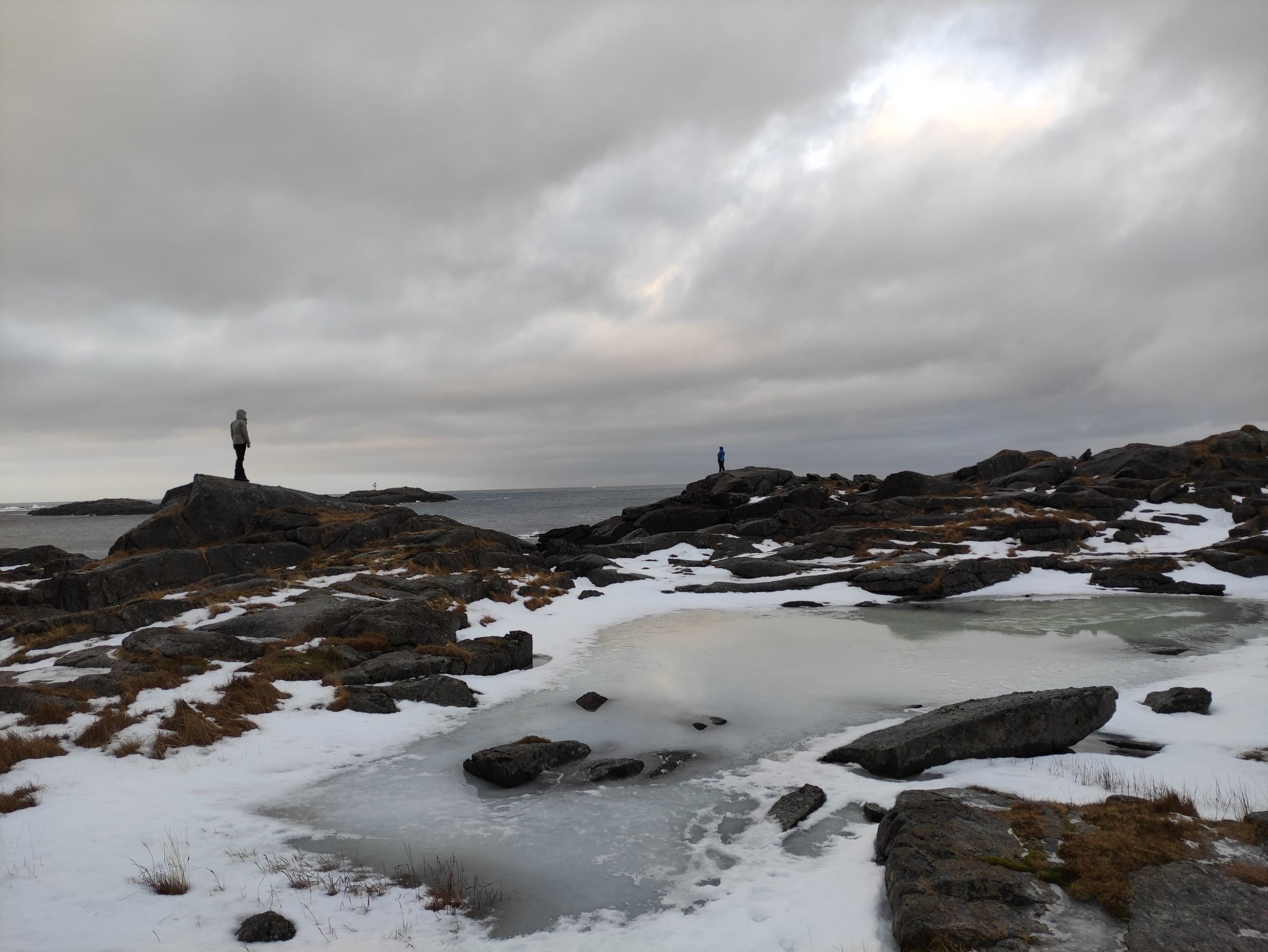
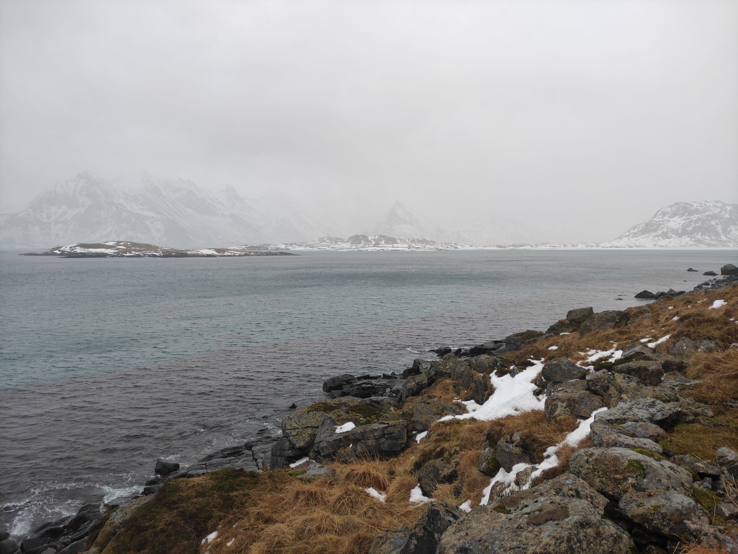
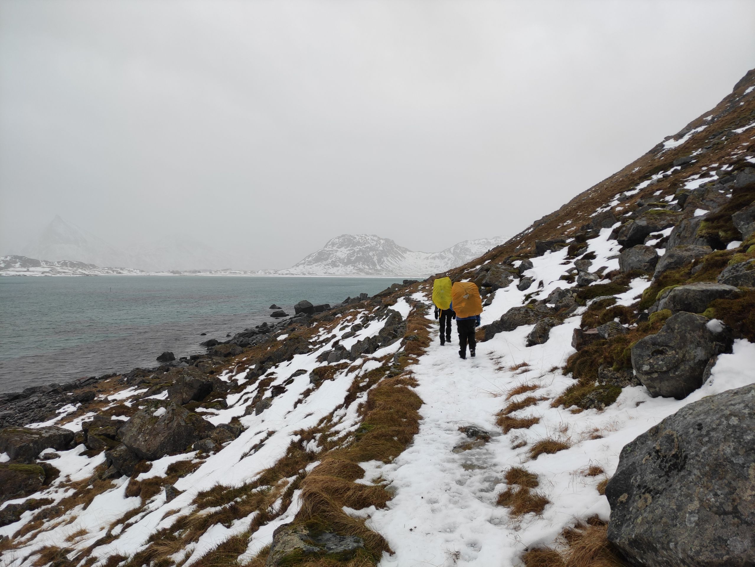
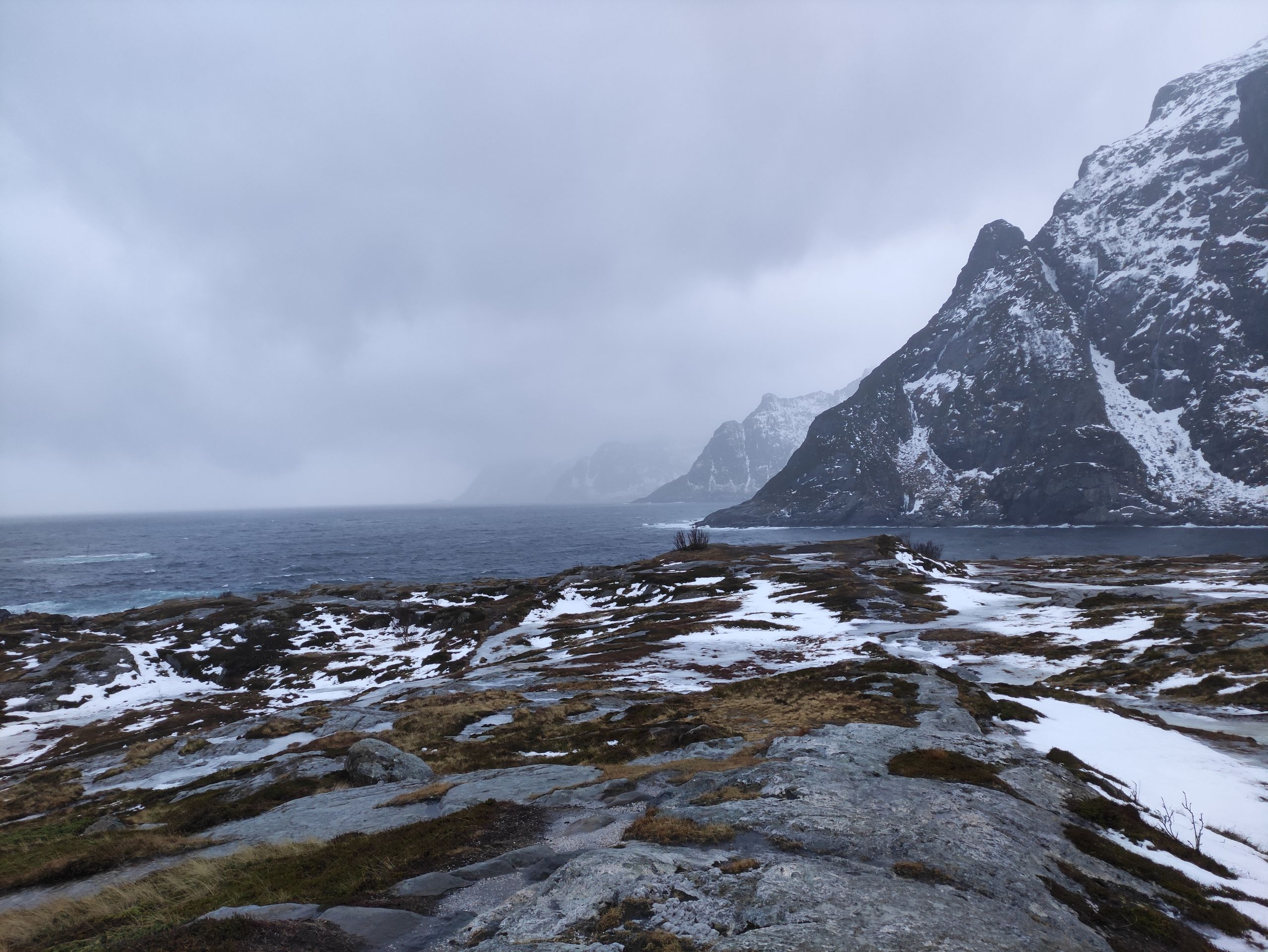
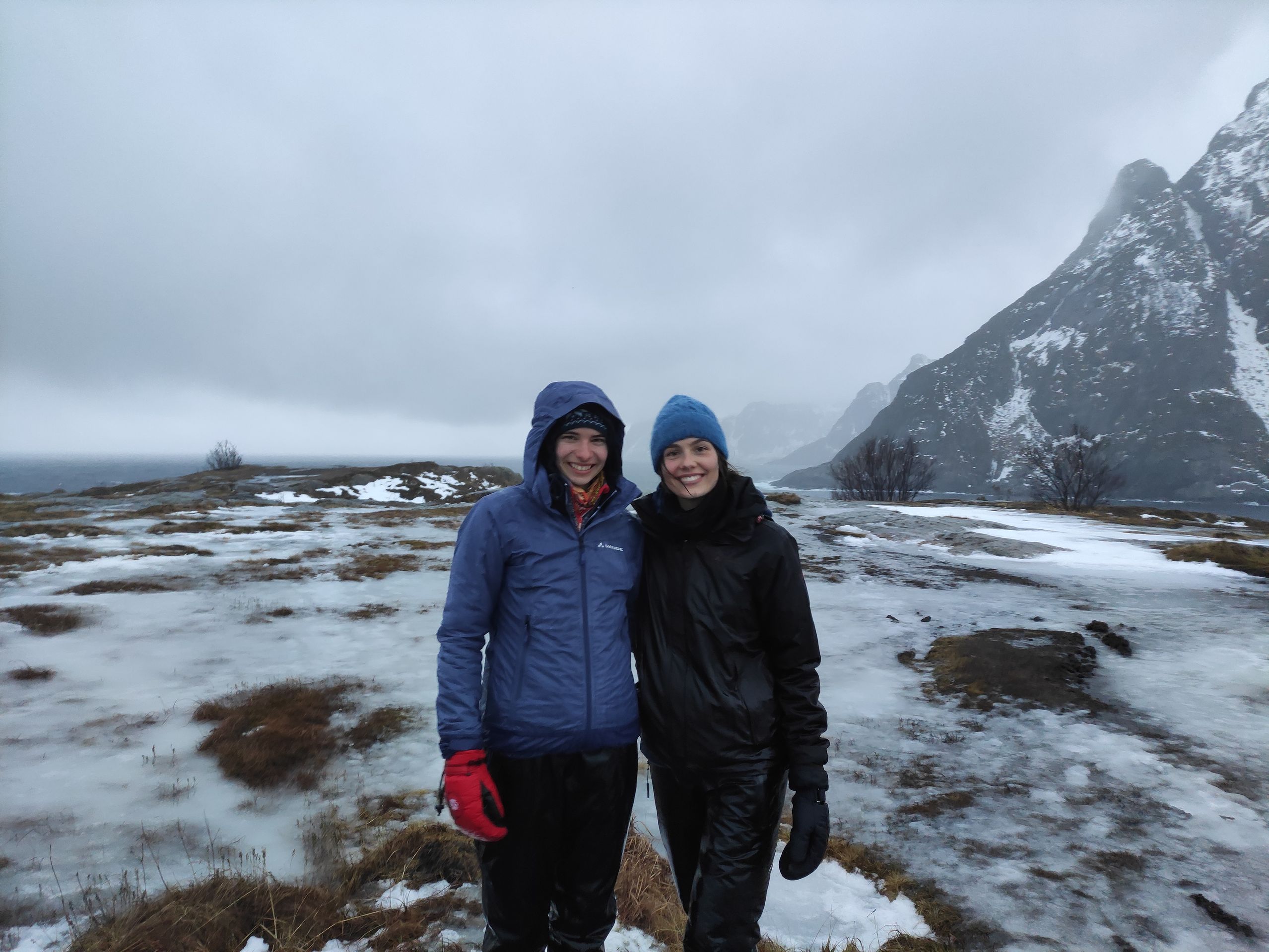
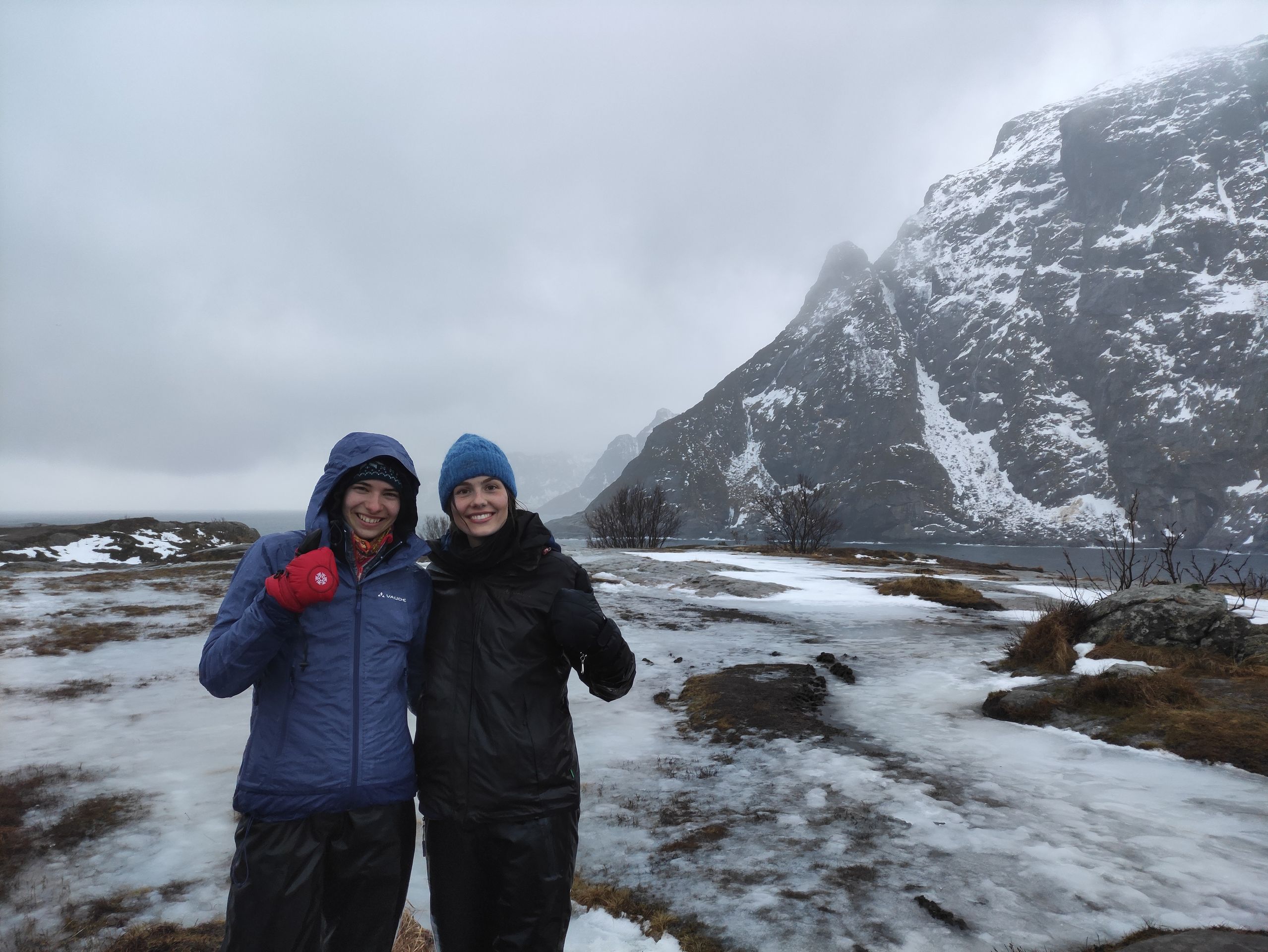
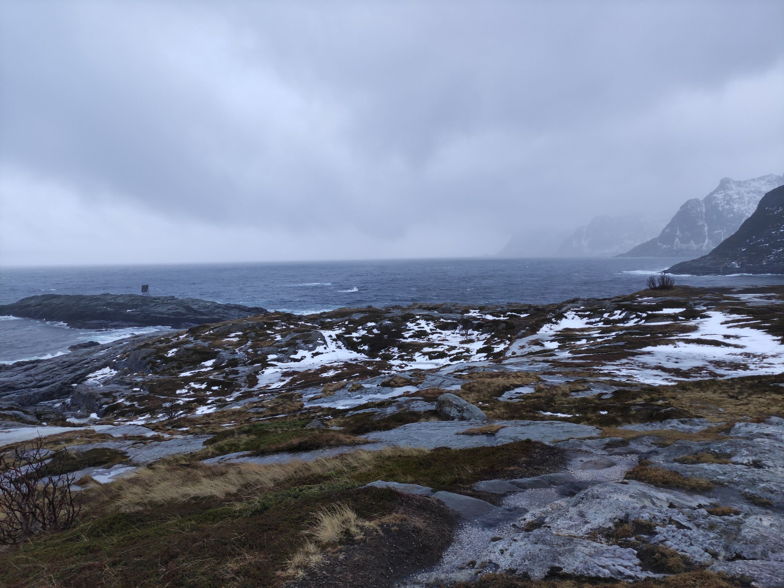
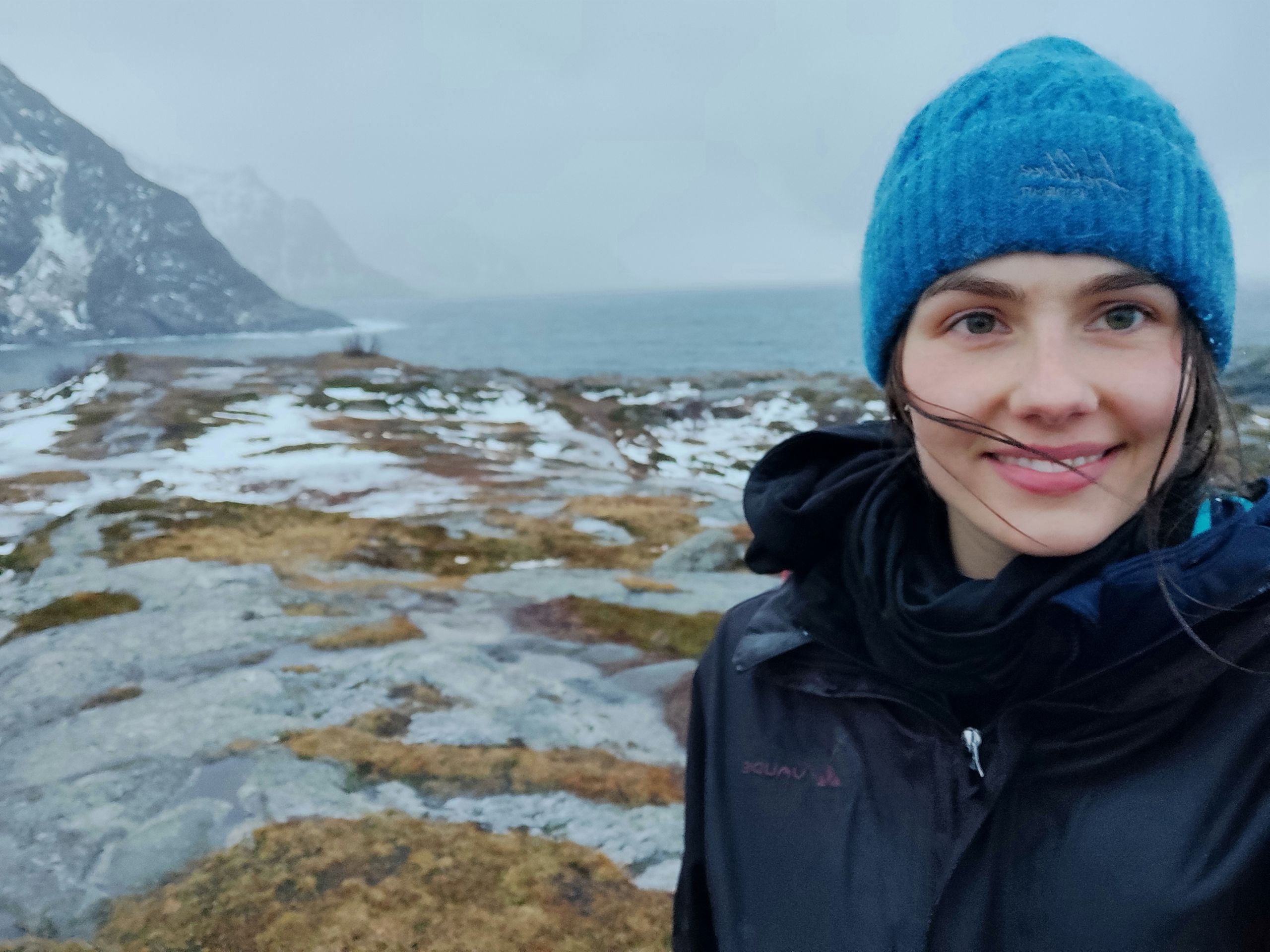
It is Tuesday afternoon and we pack our backpacks. So, the first night of our hike, we will be camping at a beach that is only a few kilometers away. Therefore, we start hiking in the early afternoon. It is raining and raining. Right at the beginning of the trail, the snow is very deep, so we regularly sink up to our hips. Getting out of the hole again with the large and heavy backpack is sometimes not that easy. As walking in deep snow is extremely exhausting, after a while, I walk along the slippery rocks and stones down by the water. After some time, the amount of snow decreases, thankfully, and it becomes easier to walk again.
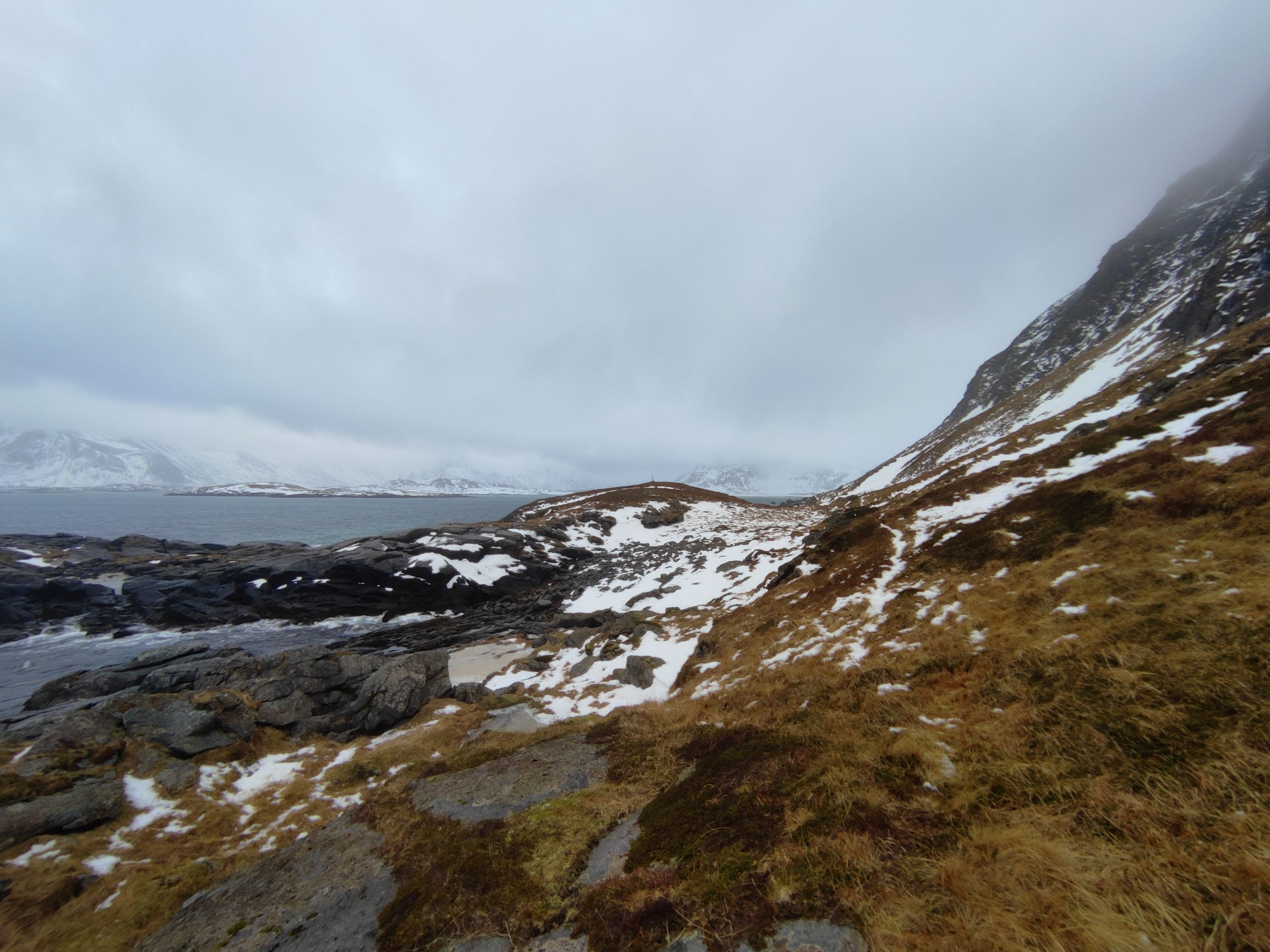
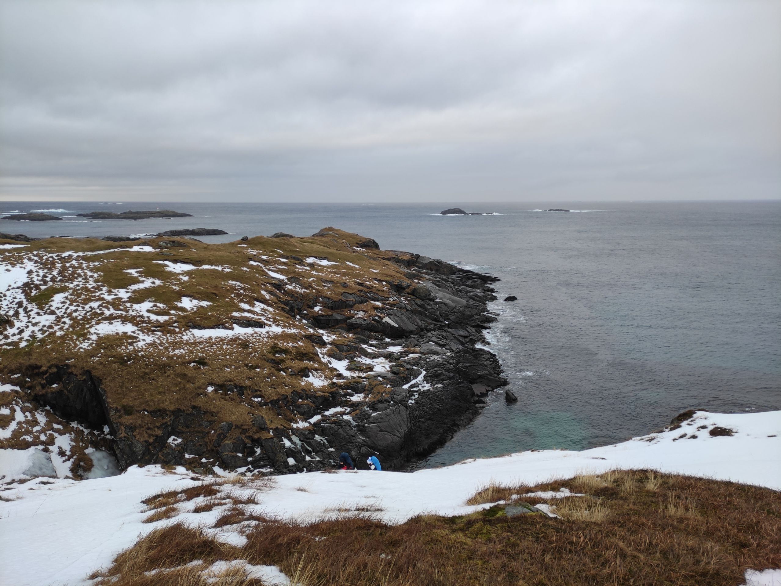
The beach where we want to spend the night, Mulstøa Beach, is now just around the next curve. Since we can no longer continue along the coast because it becomes too rocky and steep, we have to hike up the mountainside for a little while. But it is also very steep, wet, and slippery.
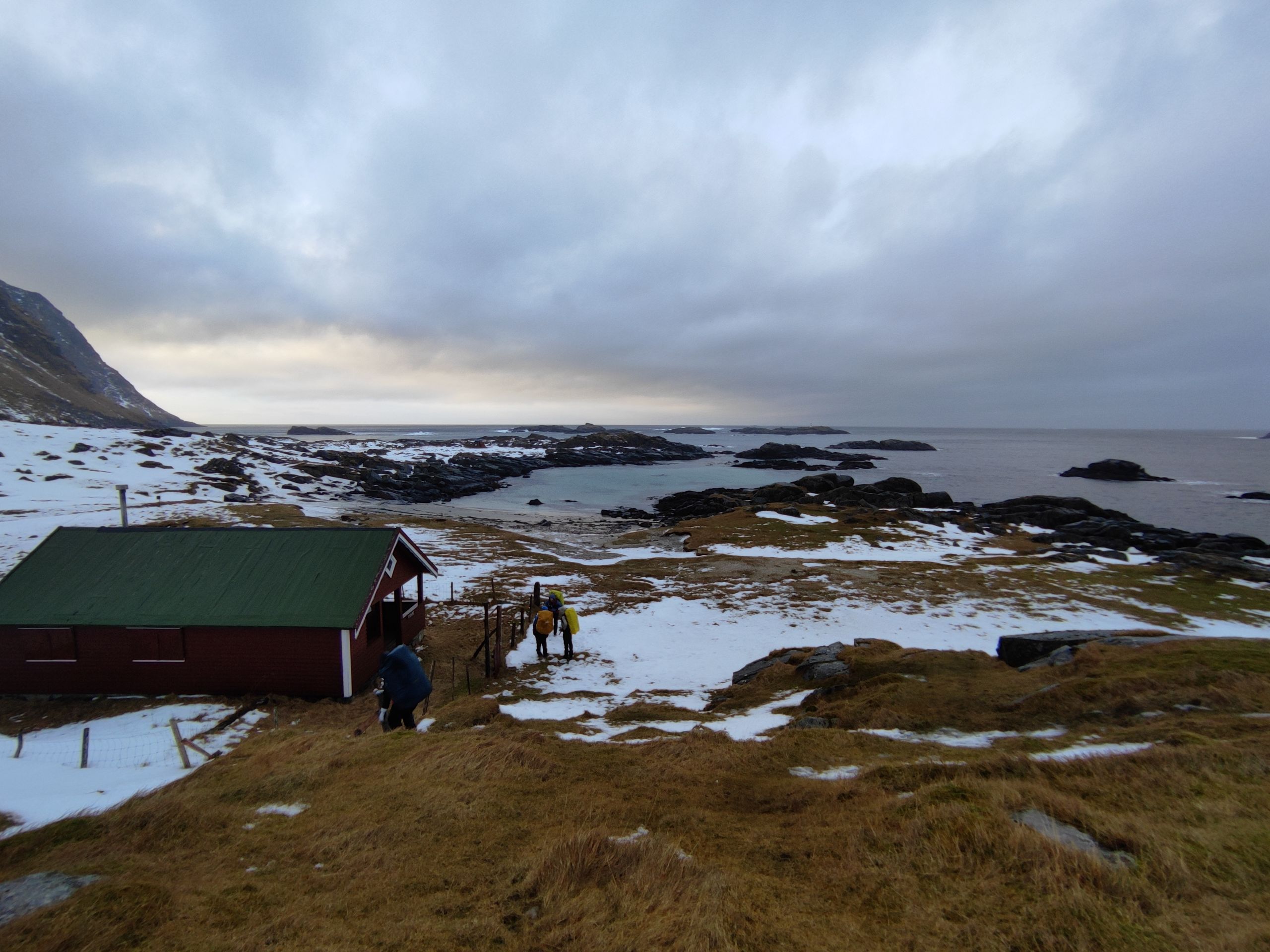
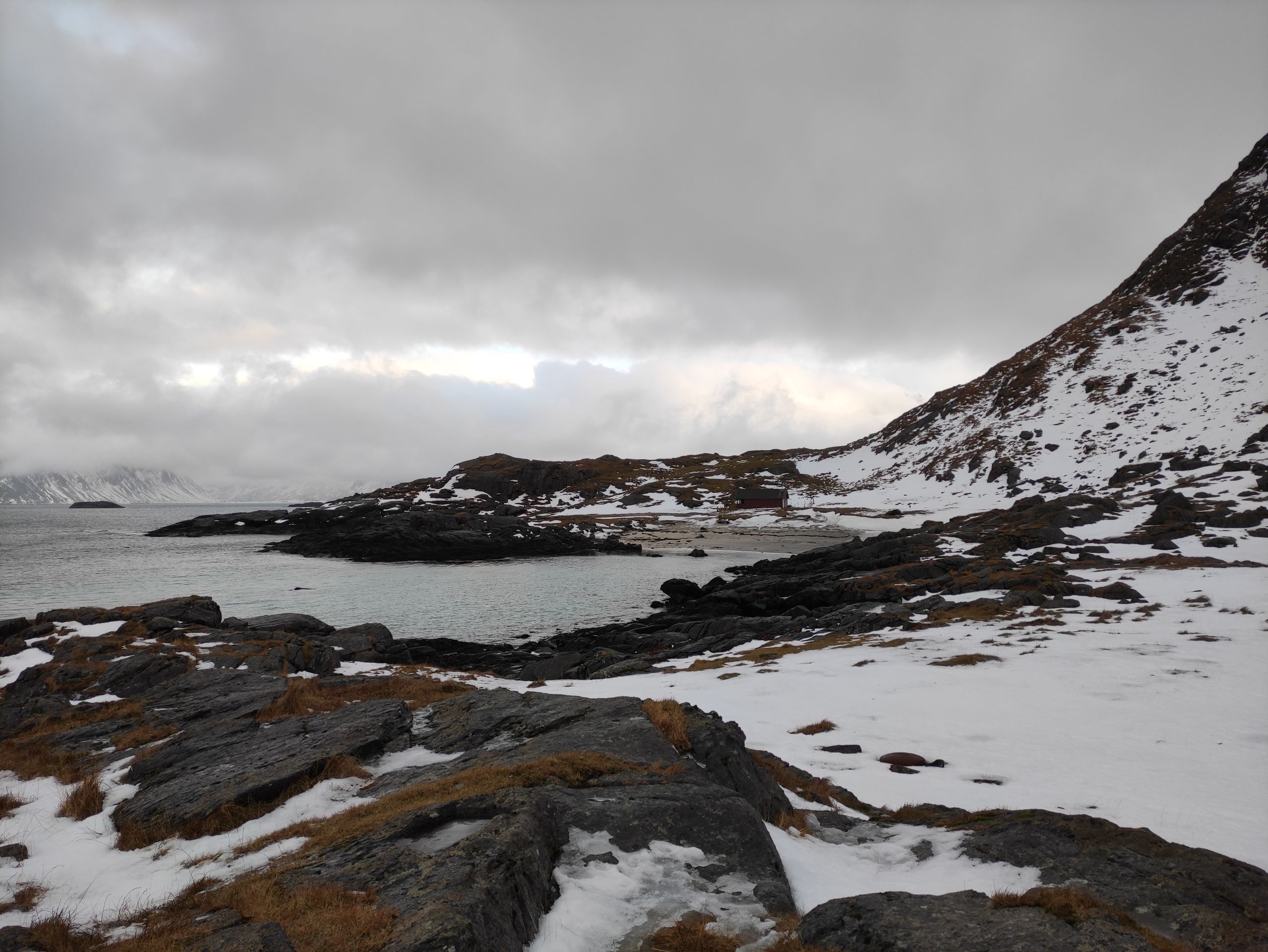
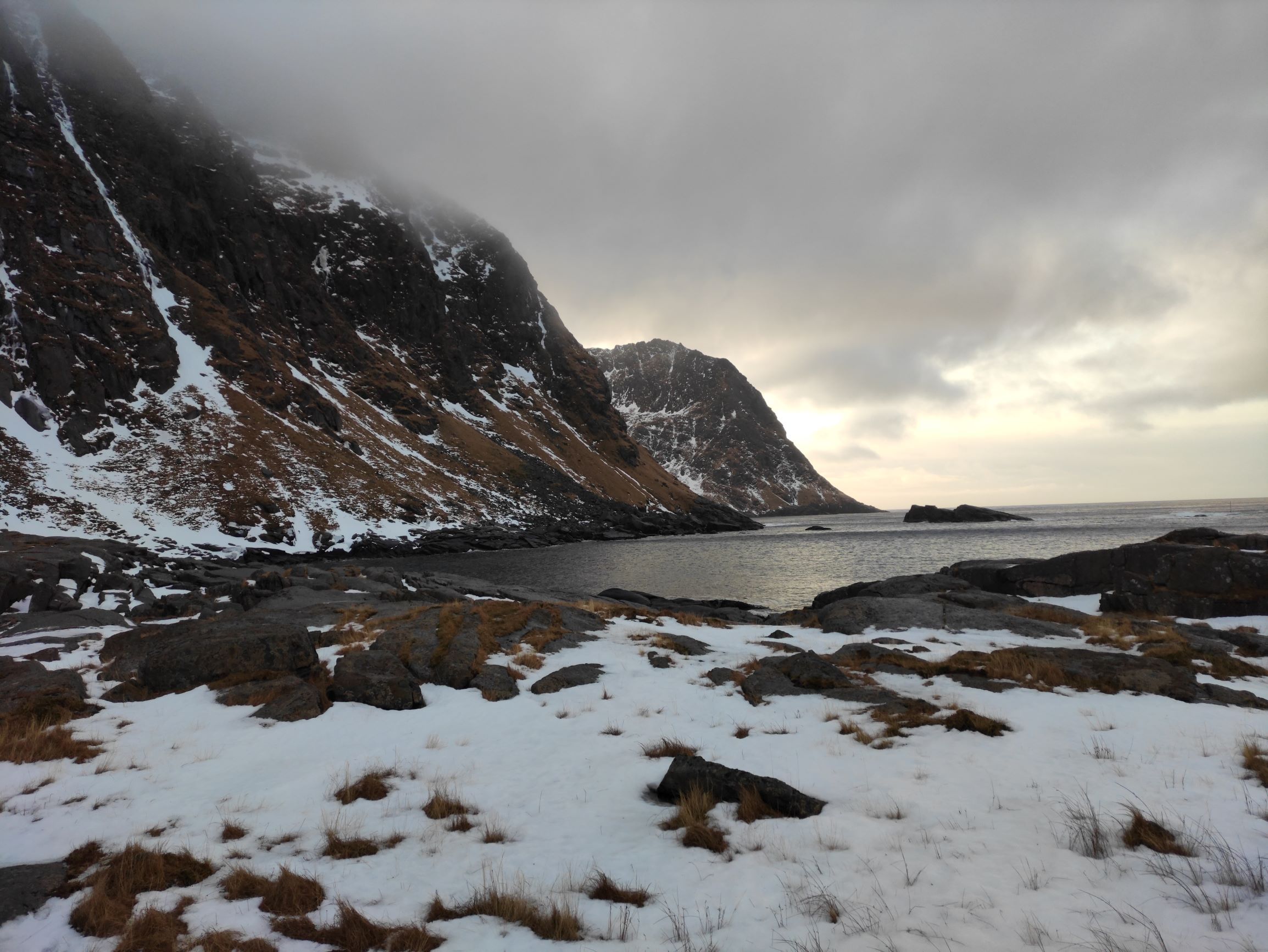
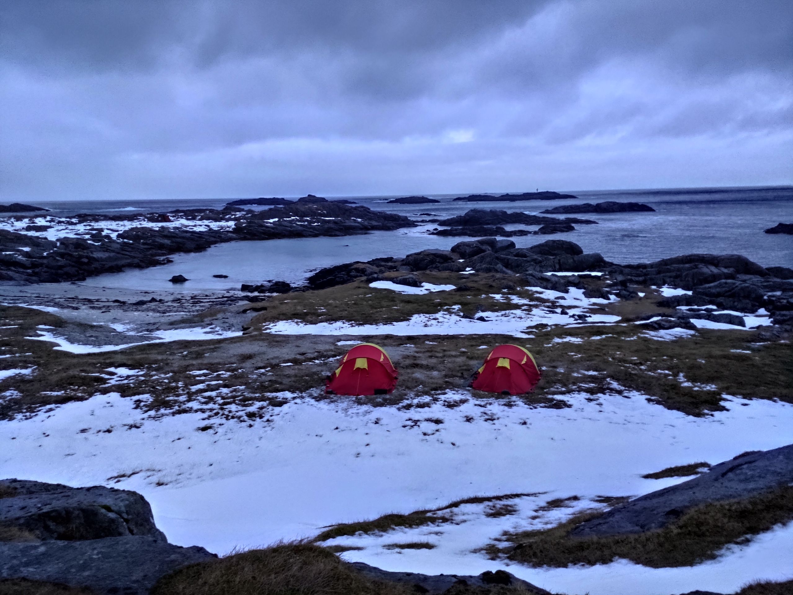
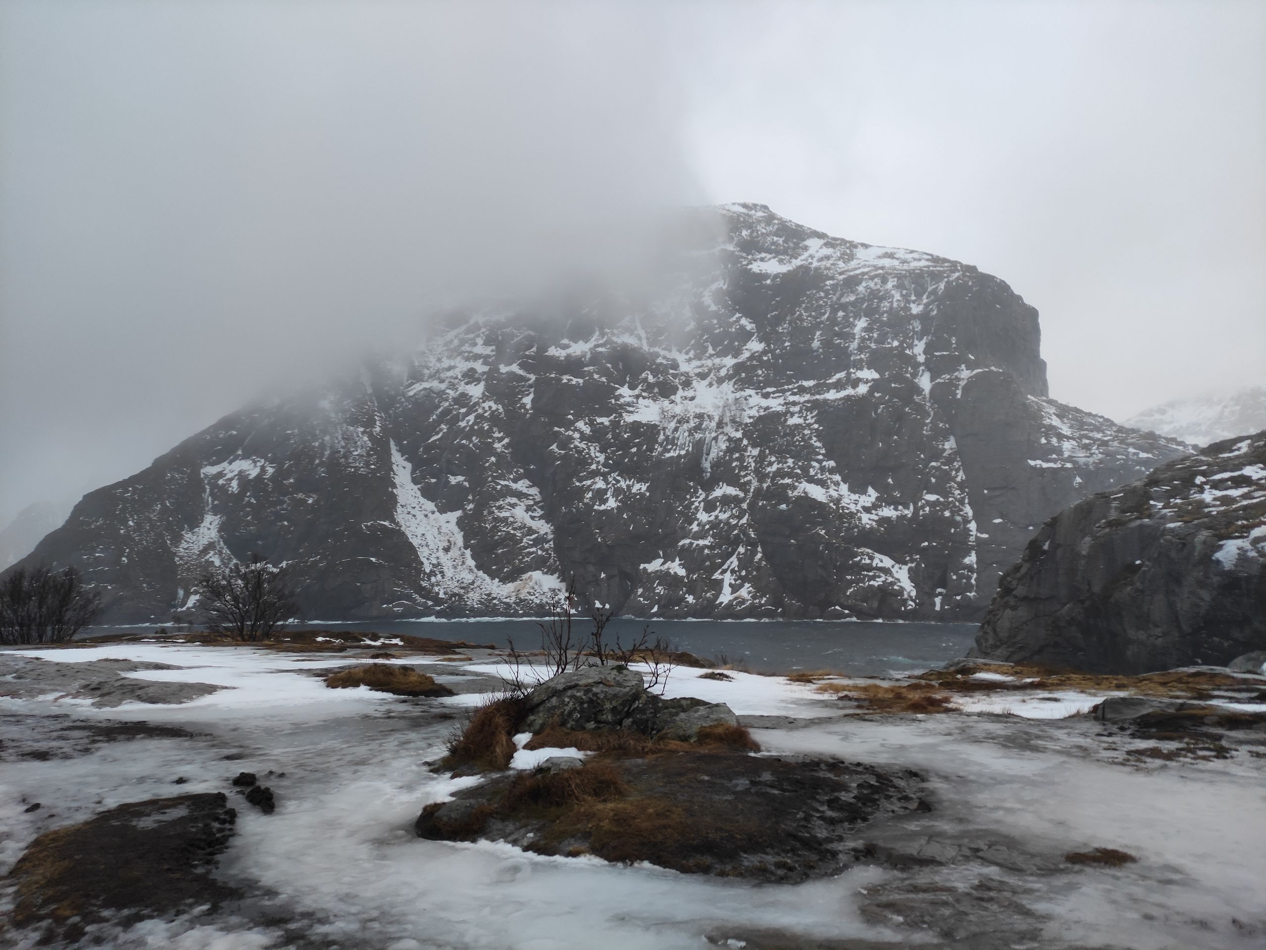
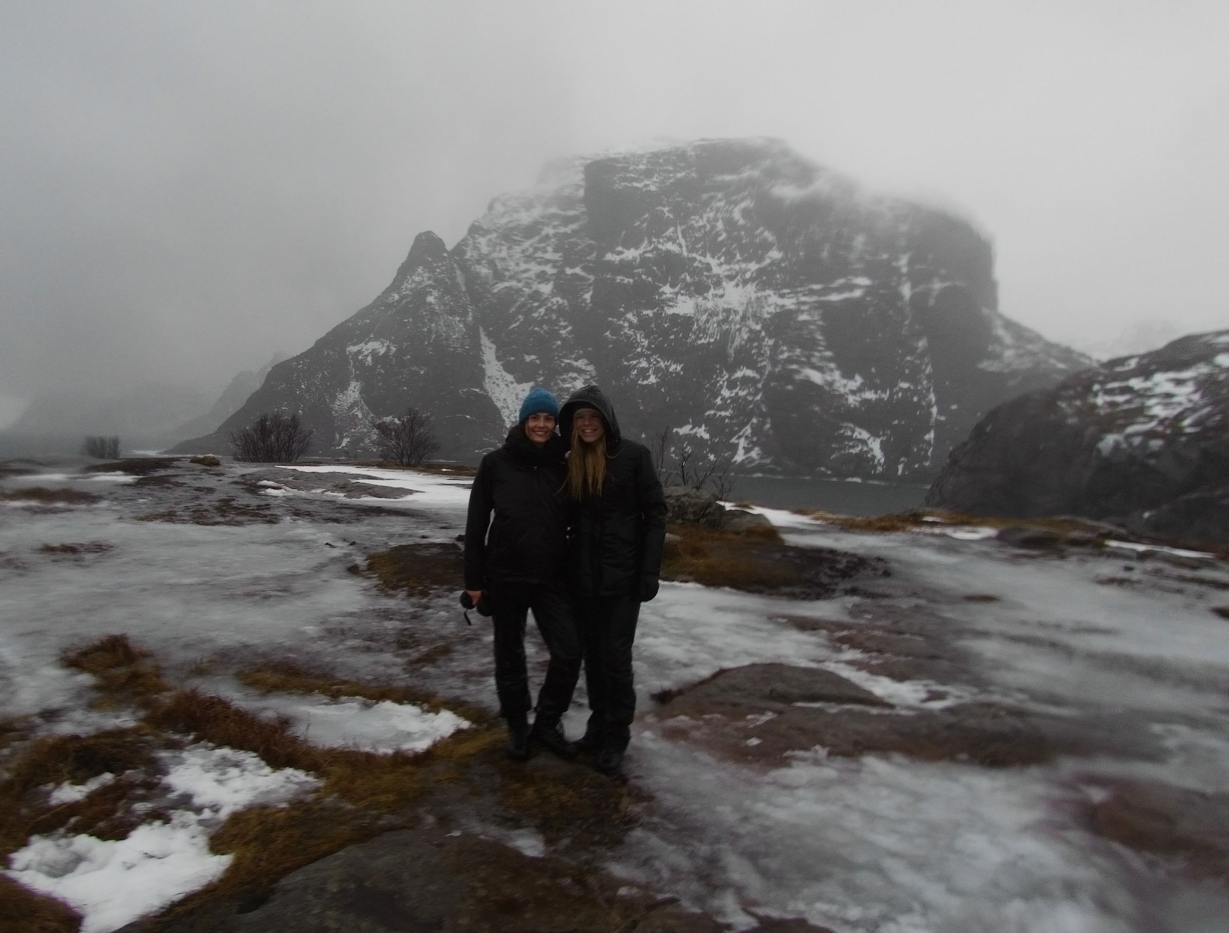
Even I am glad when we finally reach the beach after this passage. The surroundings at Mulstøa Bay are fantastic! We are at a small beach with many shells and turquoise blue water, and behind us, the tall mountains rise above us, half hidden in the fog. A mystical atmosphere! We put down our backpacks and walk around a little.
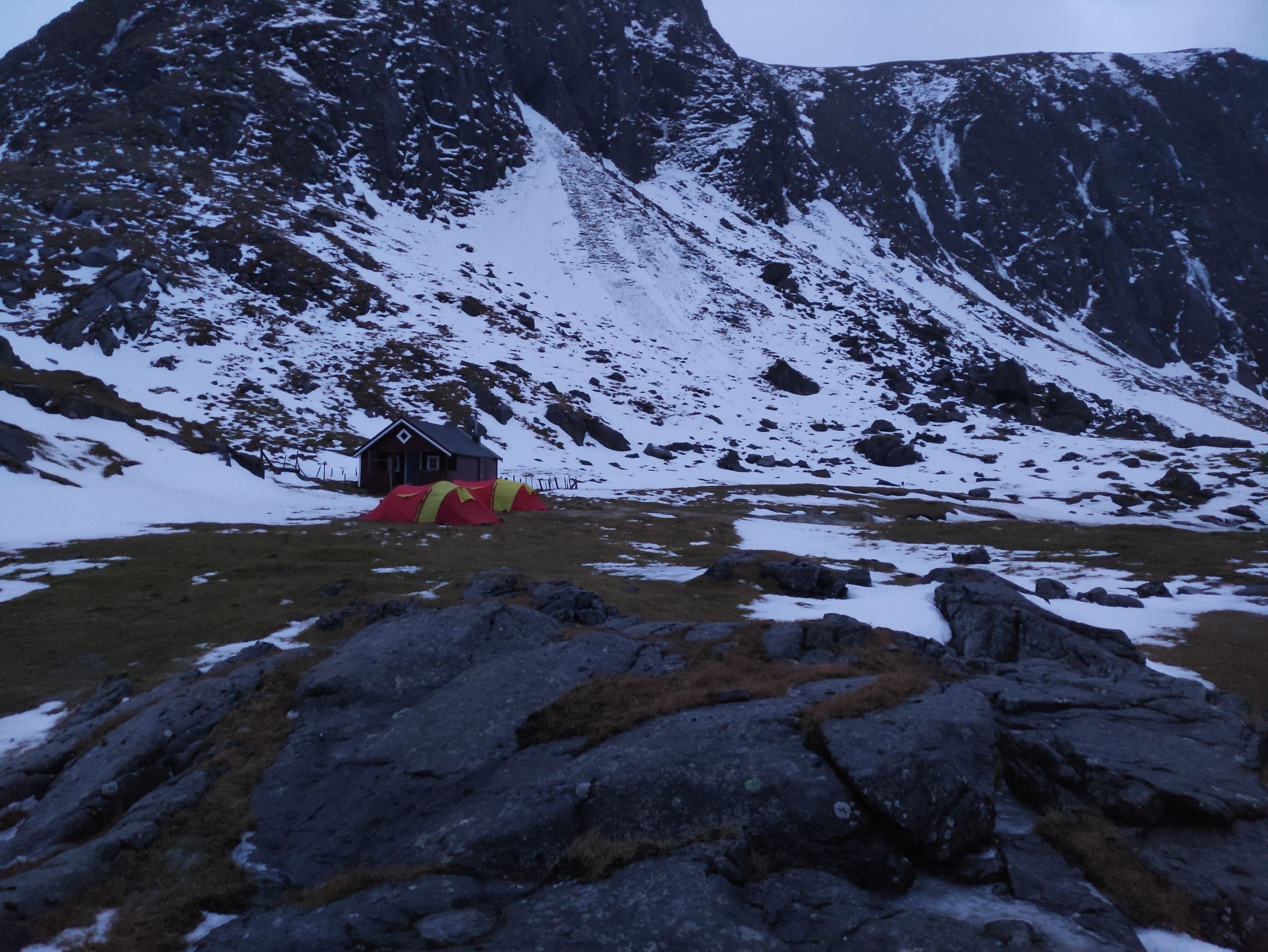
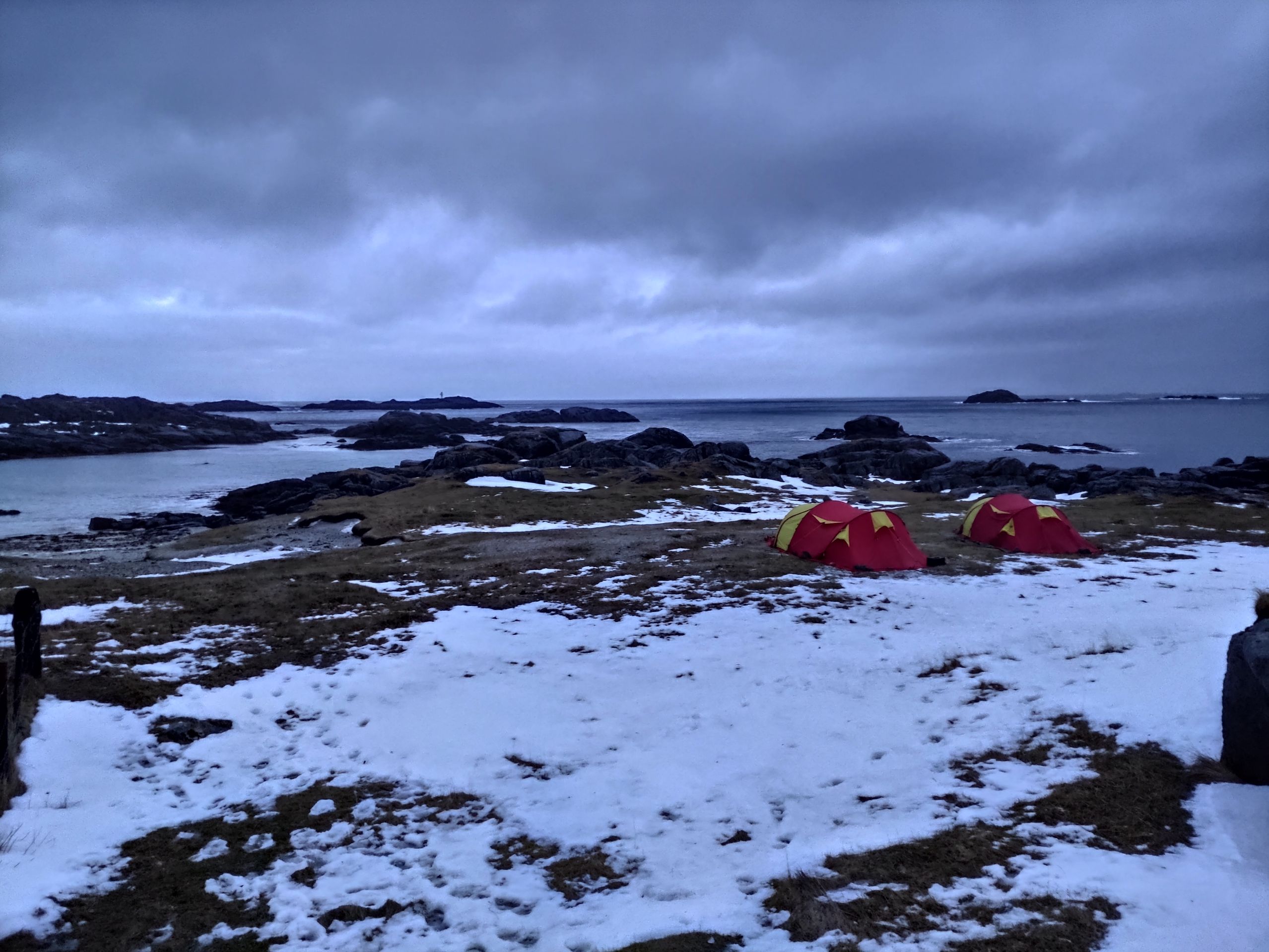
But soon we set up our tents because it is already getting dark around 4 or 5 p.m. We spend the rest of the evening mainly in the tent, as the rain doesn't stop.
Things don't go as planned
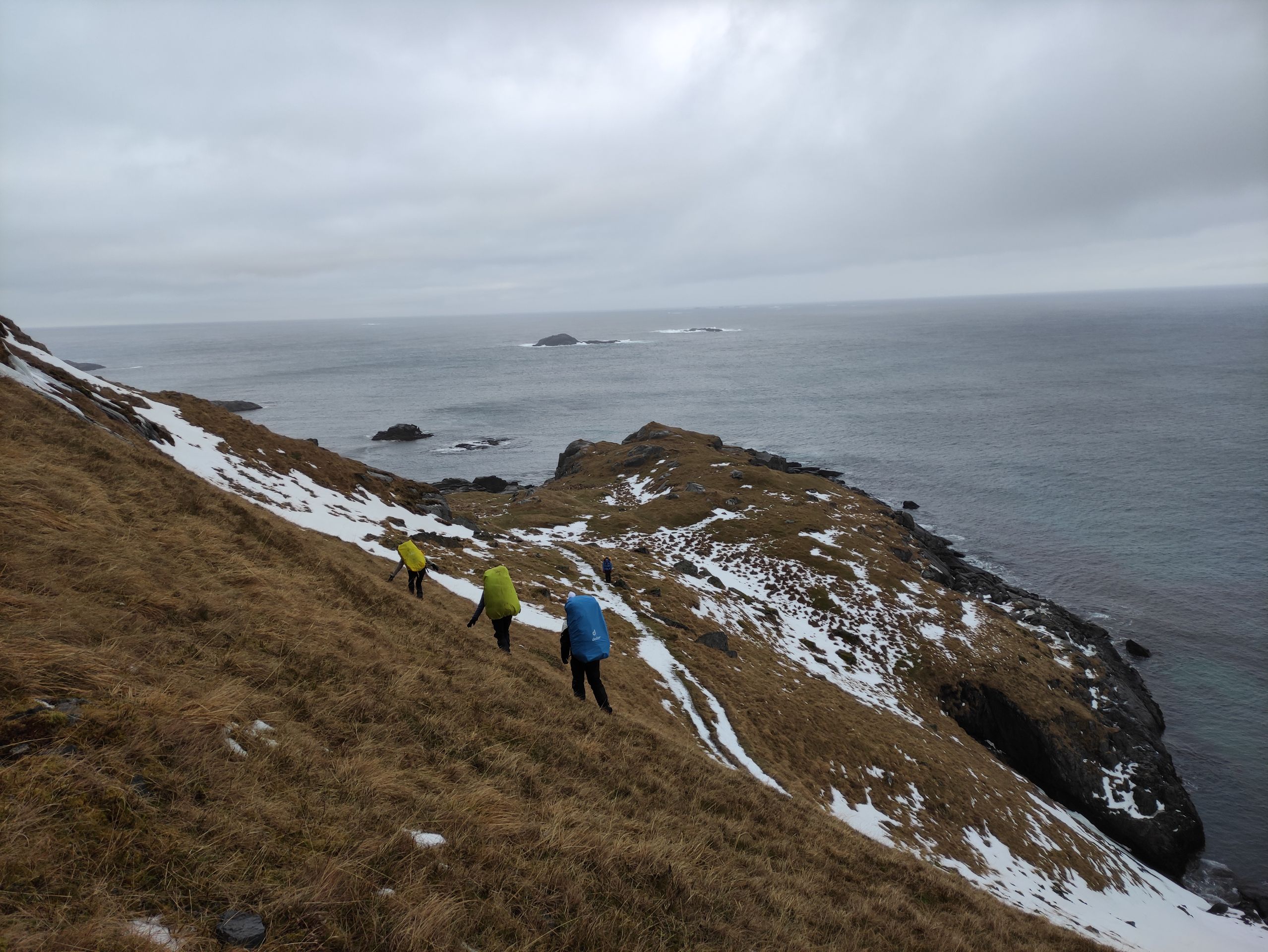
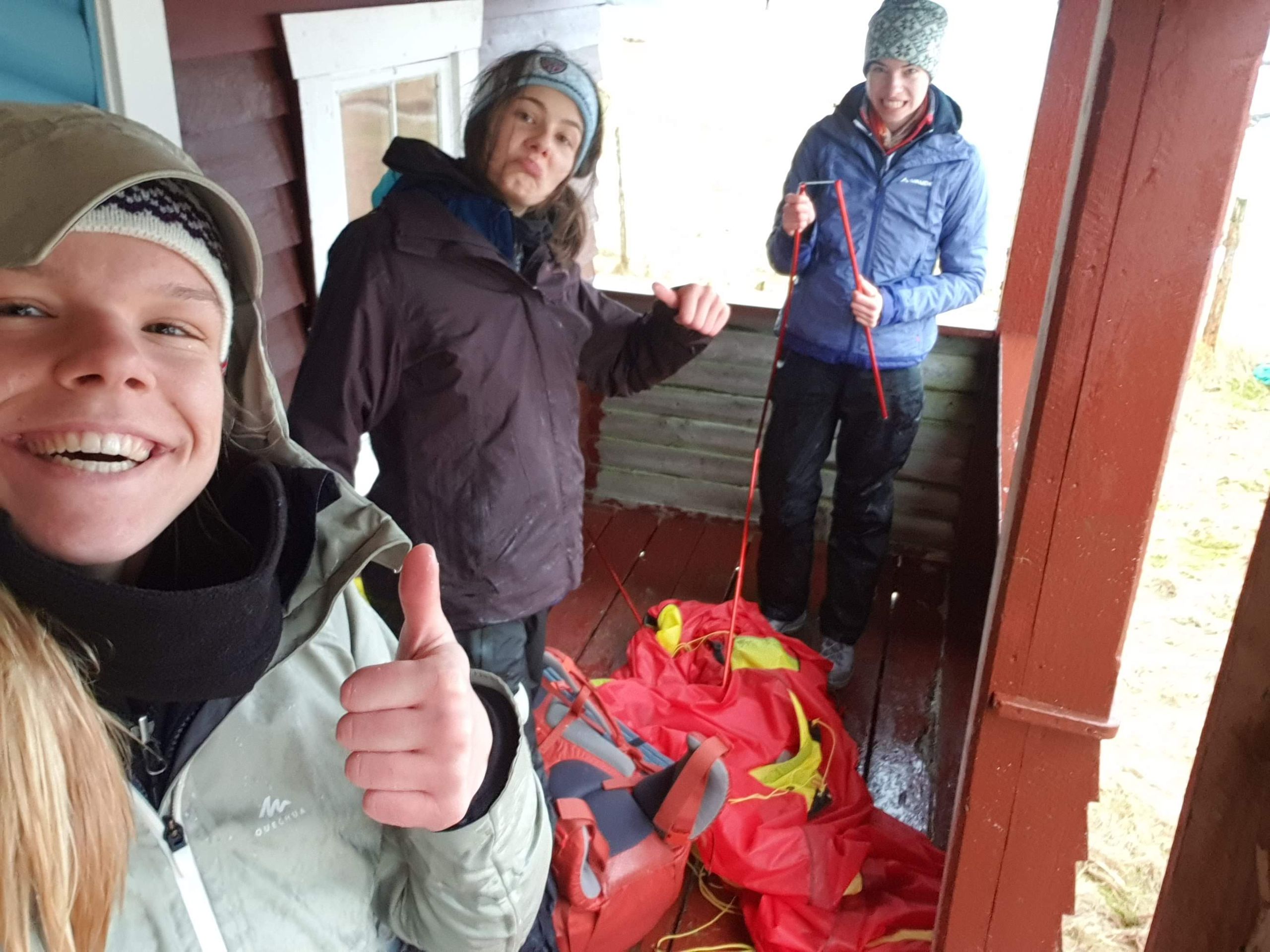
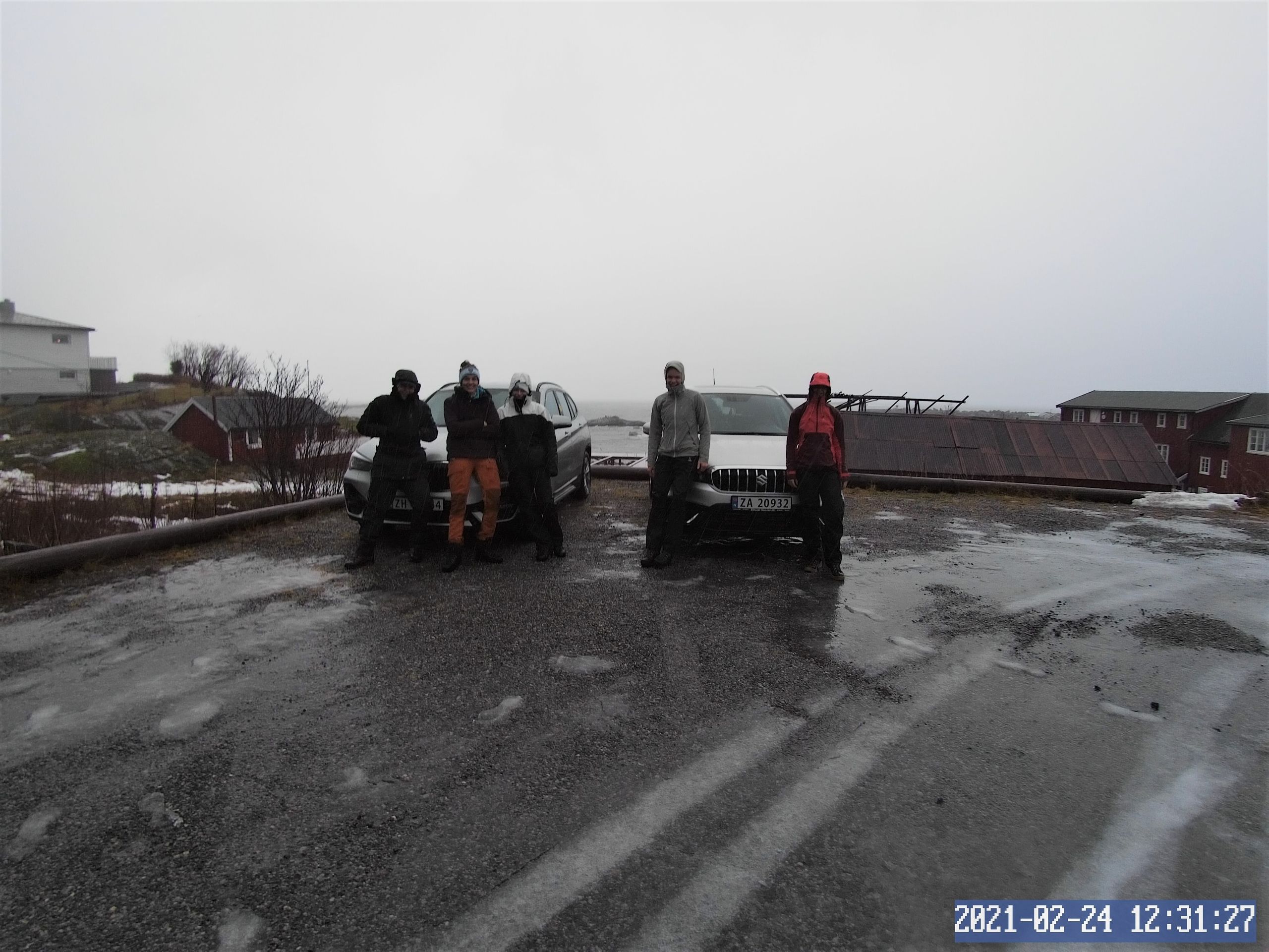
As it is relatively mild on the Lofoten Islands and the temperature only drops to around 0°C at night, I'm not freezing at all. Unfortunately, something else wakes us up at 7 a.m. on Wednesday morning. We hear our camping stove equipment clattering in the vestibule of the tent, and the tent rustles loudly. It is quite windy. Maike is the first to slip out of her sleeping bag and collects our camping stove equipment, which the wind has already scattered in the vestibule and outside, and hammers the pegs back into the ground that the wind had blown out. If I weren't still in the tent, it would probably have blown away. Unfortunately, it doesn't take long until all the lines are loose again, and we realize that we probably won't be able to hold the tent much longer in this storm. We discuss with the others what to do because continuing the hike is no longer an option. The decision is rather between enduring another night here in the storm and rain, hoping for better weather, or walking back the steep passage above the cliffs in the strong storm. After one of the tent poles breaks, the decision is taken out of our hands, and we pack everything together.
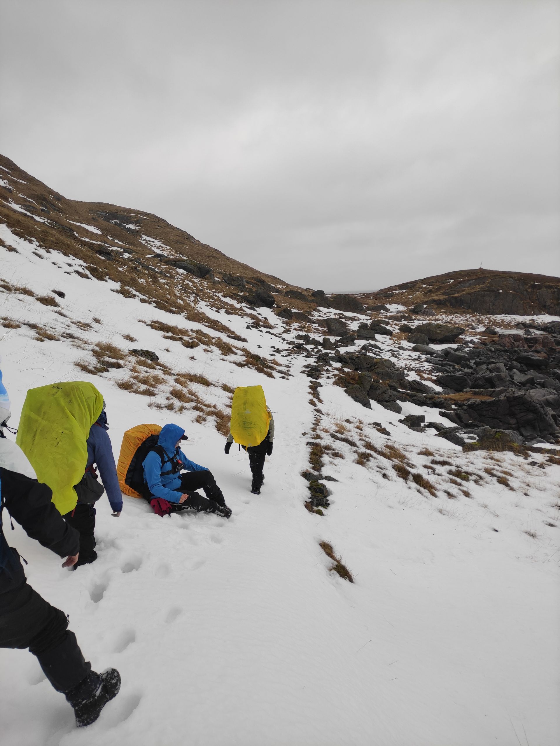
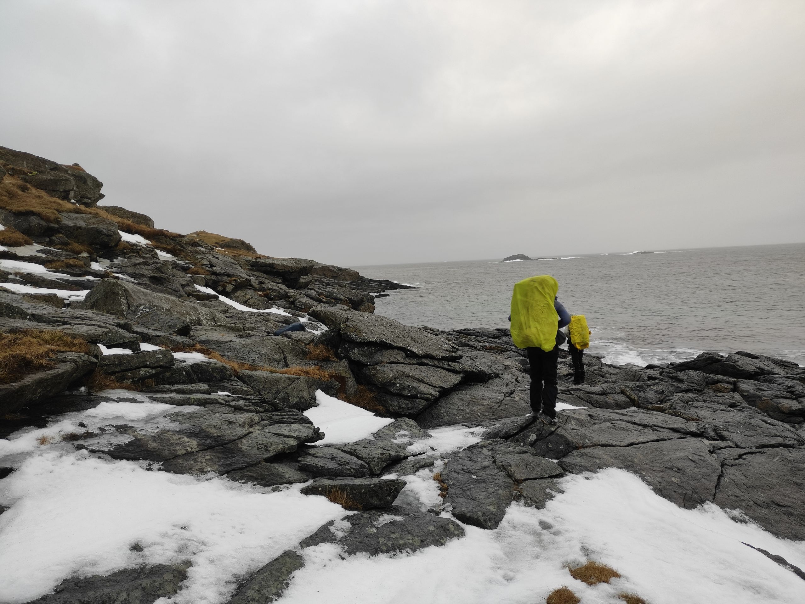
After trying the steep passage without backpacks first and luckily finding that it is not windier up there than down below, we pick up our backpacks and walk carefully back towards the parking lot.
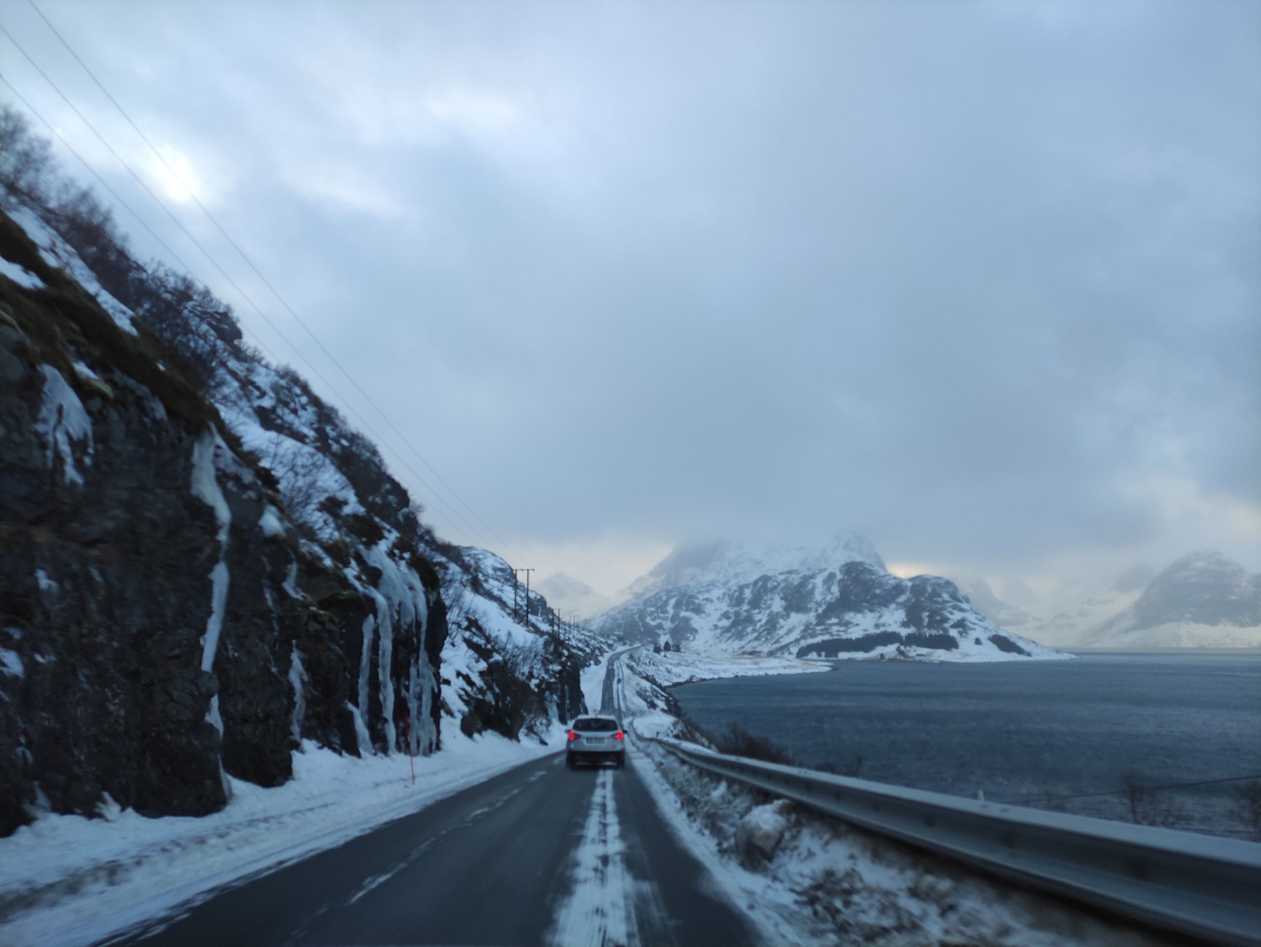
I think we are all relieved when we finally reach the cars again. Everything is soaking wet due to the heavy rain and snow on the ground. I can wring out my gloves and headband, and my feet feel like they are swimming in my shoes. Even Gore-Tex won't help anymore. Unfortunately, we can no longer continue hiking, and the second night outside is literally washed out. The first thing we do now is drive to a café and have a hot chocolate.
We're heading to Å
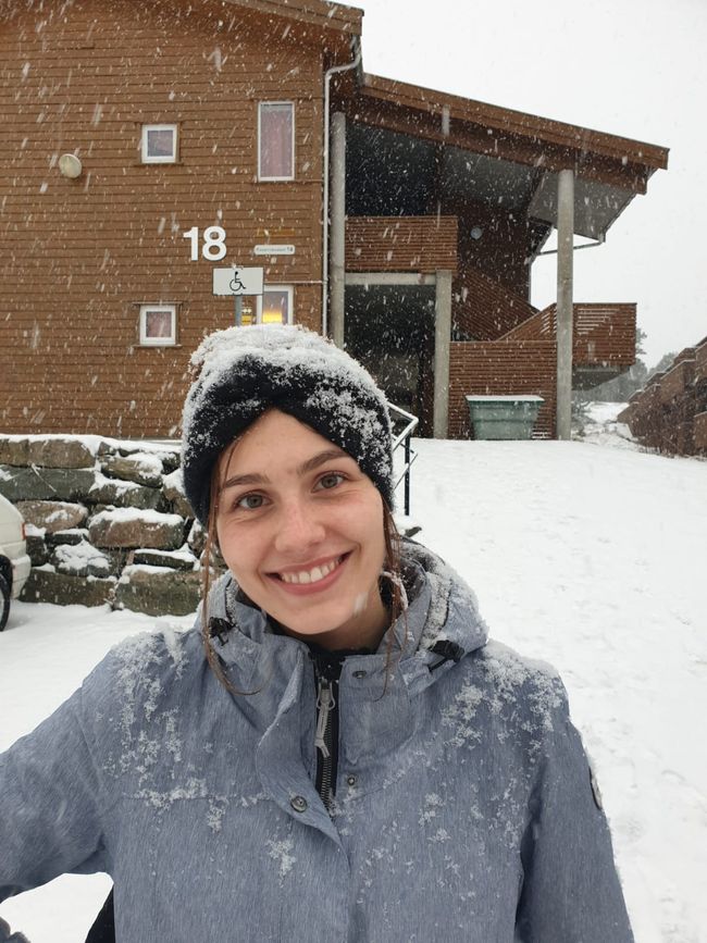
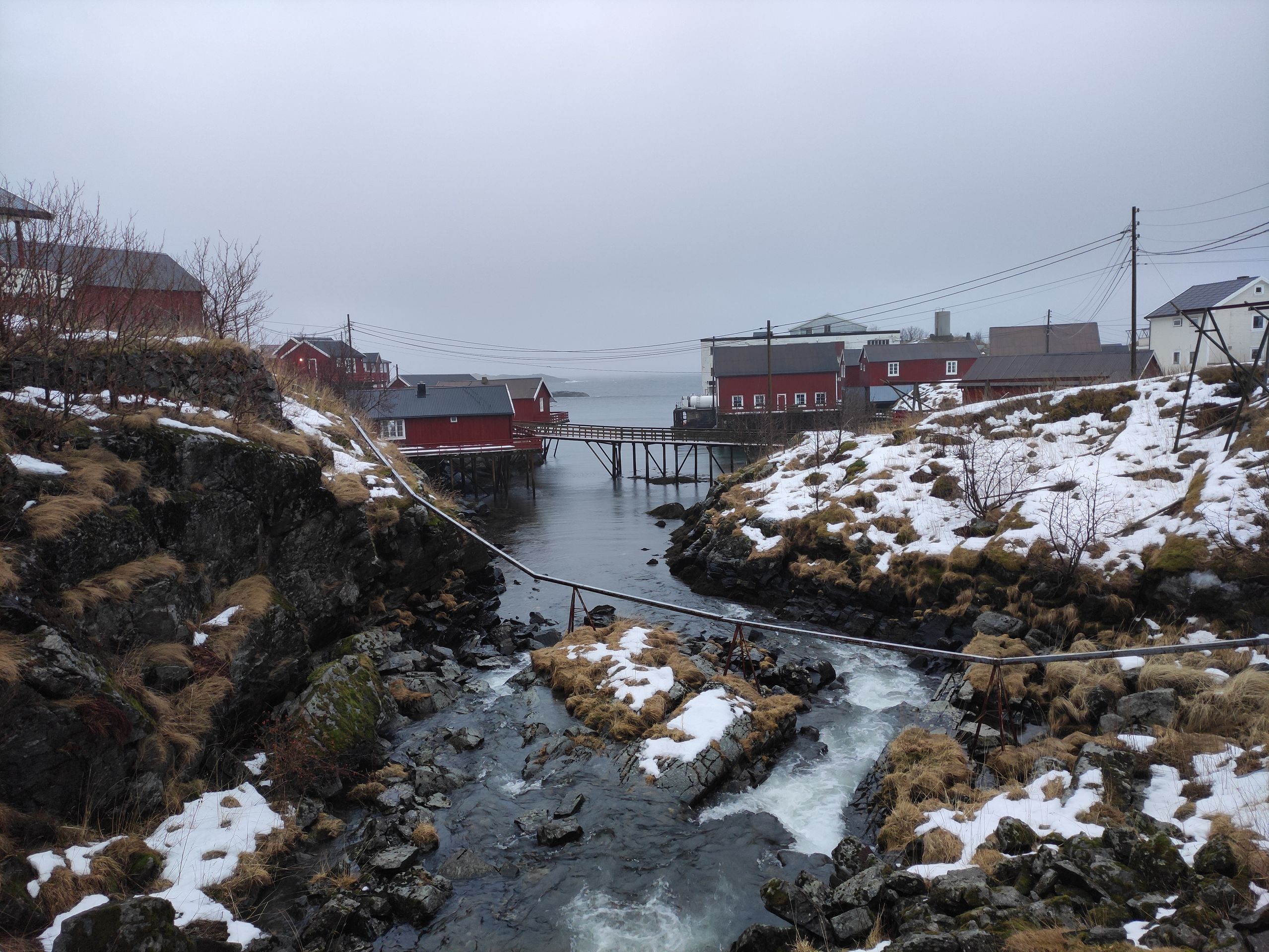
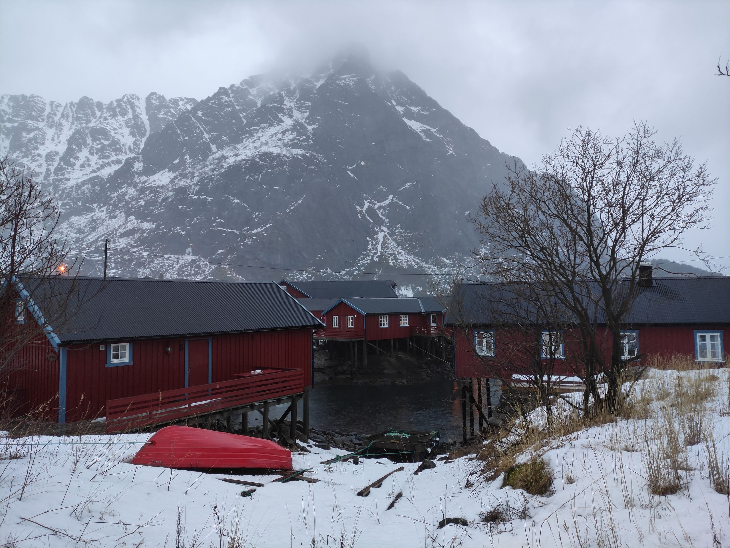
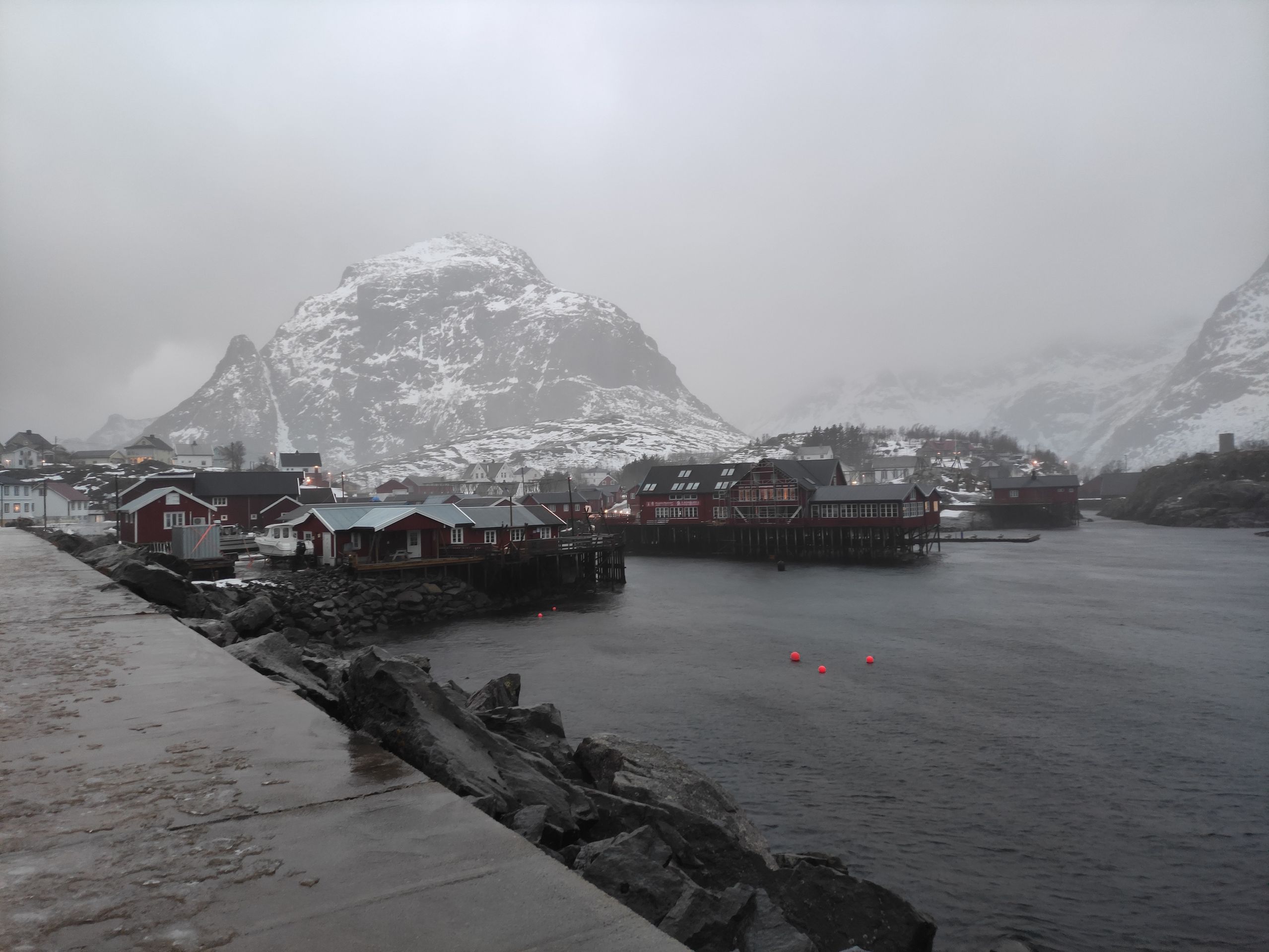
While sitting in the café, we call the landlord of our next accommodation, which we booked through booking.com, and ask if we can arrive one night earlier than planned. Since that is not a problem, we soon set off for Å, the place with the shortest name. Å is a small, cute fishing village and it is located almost at the southernmost point of the Lofoten Islands. Since we arrive at our accommodation in Å in the early afternoon - by the way, another super cozy, red house on stilts right by the sea - we spend the afternoon outside despite the rain. We walk around the village with its red wooden houses, all built on stilts or stone stacks.
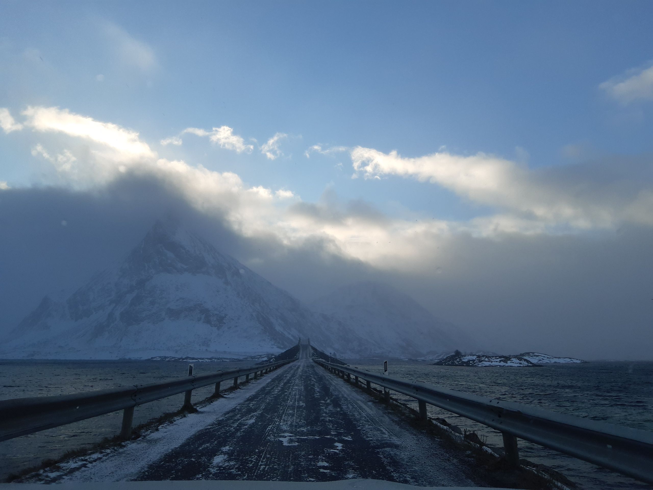
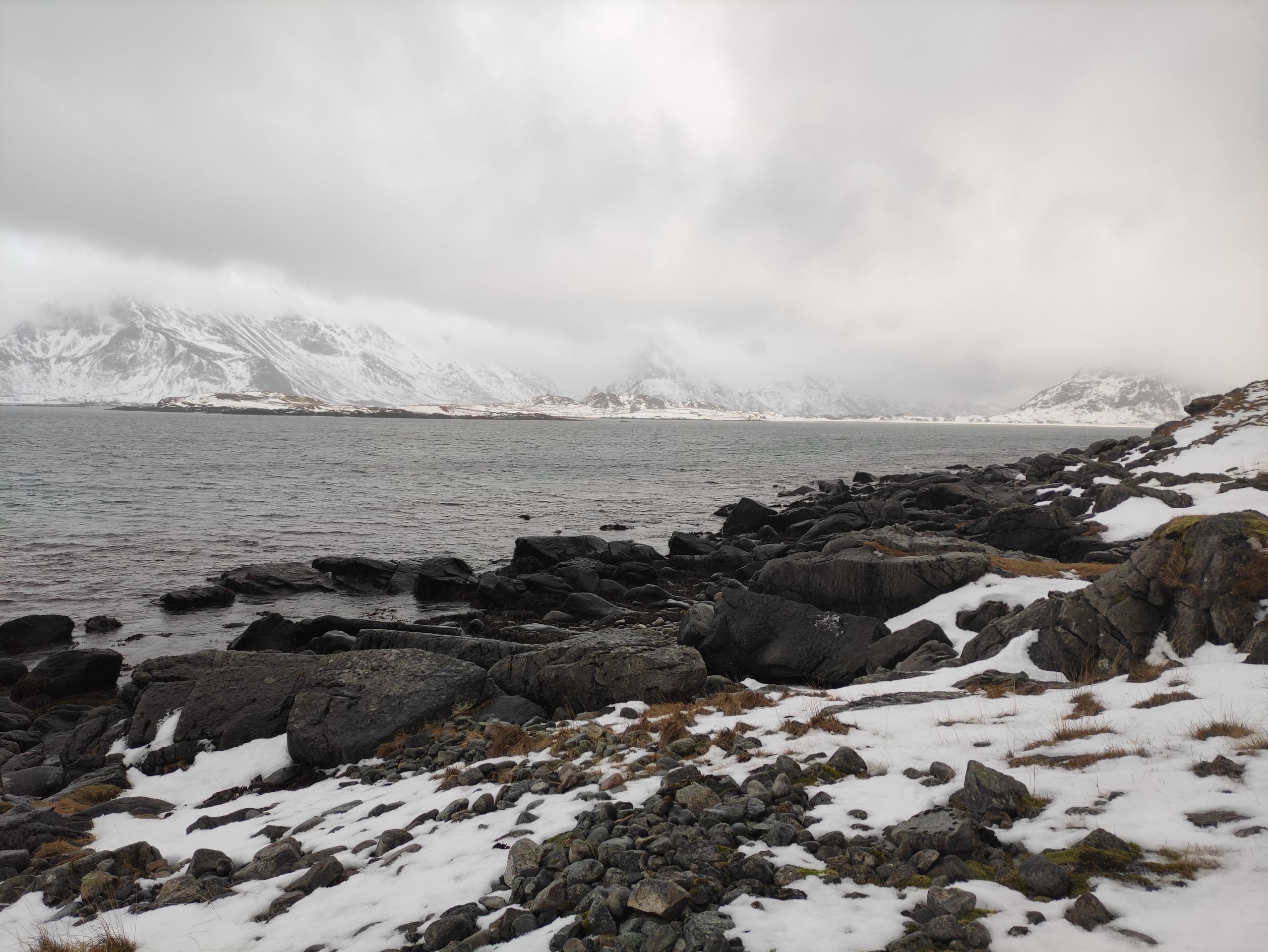
We also spend some time at the southernmost viewpoint of the Lofoten Islands. At the viewpoint 'Utsiktspunkt Å i Lofoten,' the road E10 ends, and I suspect that the 'real' southern tip of the Lofoten Islands is only accessible by foot and only in the summer due to the mountains. We take some photos at the 'end of the Lofoten Islands' and finally find shelter from the rain in the late afternoon.
In the next few days, we plan to drive back up the Lofoten Islands bit by bit and visit some villages, beaches, fjords, etc. along the way. Tomorrow, on Thursday, we have the fishing village Reine, Flakstad Beach, and Nusfjord on our itinerary. You will learn about our journey from Å back to Tromsø in the next post!
Until then, Sara
Jiandikishe kwa Jarida
Jibu
Ripoti za usafiri Norway