From Fairbanks via the Denali and Top of the World Hwy to Dawson City
Rakabudiswa: 26.08.2018


Nyorera kune Newsletter
Sunday August 19th. After 2 x 3 days of 'self-sufficient' camping, Verny needs maintenance, then it's goodbye Denali National Park. A little sad, we drive to the exit and turn north. In Healy, we also need fuel. Actually, we wanted to enjoy a salad for lunch, 'sorry we're out of romaine lettuce', the salad buffet looked so bad, unfortunately, we have no choice but to have hamburgers and pizza! Pha! But that will last until tomorrow morning!
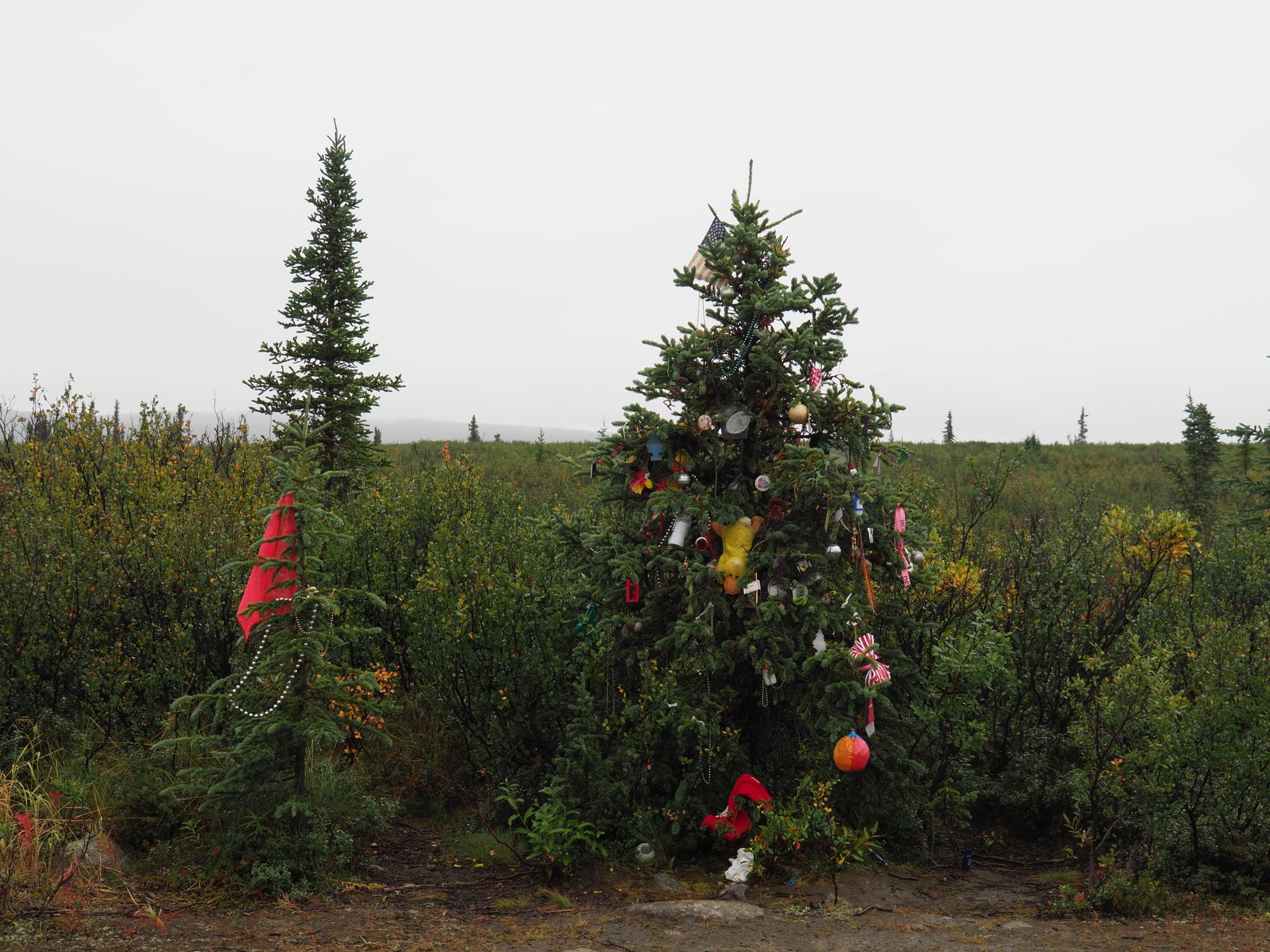
In Nenana, we go to the campground, as usual, here also a 'parking lot', at least a meager birch tree separates the individual sites. While strolling through the 'village', we enjoy a self-brewed delicious beer according to the German Reinheitsgebot in a local restaurant - with a Christmas tree (whether it is still from last year or already for the next one cannot be determined).
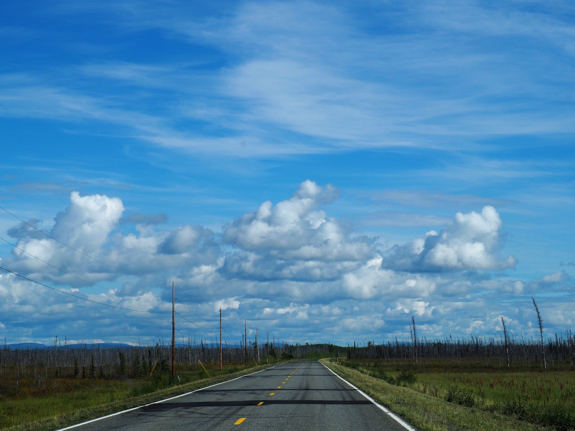
On Mondays, we continue to Fairbanks, we only see animals occasionally, sometimes a moose, sometimes an eagle. In Fairbanks, the refrigerator is filled and we make another stop at GoNorth. It was raining heavily on the way to Denali NP and Verny's roof was leaking (apparently older RVs also suffer from incontinence).
We want to show this and have it sealed as much as possible. As planned, the colleague at the base station applies a silicone sausage to Verny's roof hatch over the old one (at least as thick as a St. Gallen Kindfest sausage).
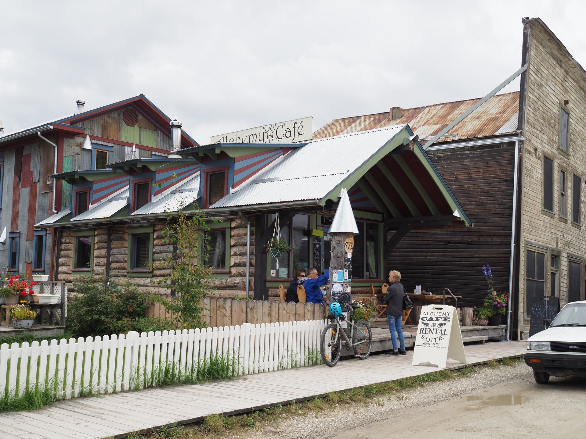
While strolling through Fairbanks, we realize that we don't like the city. Of course, there are exceptions, like a very cool café, the Venue, with a lot of atmosphere and an '8 liter displacement, 12-cylinder coffee machine' that is delivered in parts and challenges the barista with every change in temperature and humidity (we know that). An outdoor shop in the center somehow seems familiar to us, of course, we already bought some 'bare necessities' at Big Ray's in Kodiak. So we go in, we need socks :-). Actually, you could leave Fairbanks out on the Alaska trip, but then you wouldn't be snobby.
Vivienne and Alain, whom we met in Denali, are already in Fairbanks, they highly recommended the restaurant at the campground by the riverside to us, ....and it was delicious! Apparently, it is so popular that we actually had to wait 45 minutes for a table. But it was worth it.
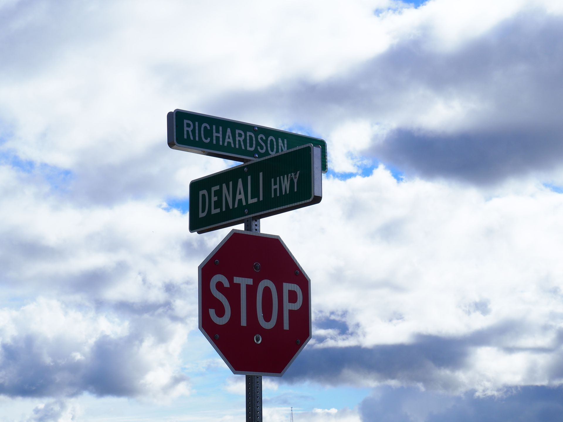
As a conclusion, we had a definite goodbye beer with Vivienne and Alain at 'Yasmin's' snail house (also GoNorth customers). They are heading directly to Tok tomorrow. We want to drive the Denali Highway from Cantwell to Paxson and then the Richardson Hwy from Delta Junction to Tok. That's why we're heading south again, back to Cantwell.
Until then, we struggled with the decision of how to proceed after Fairbanks for a long time. A ranger at Clam Gulch on Kenai had planted the idea in our minds that you can already see the Northern Lights in Coldfoot at the end of August, that's a promise! Neither Google orgies, studying the Milepost, Bob Kaufmann's blog, predictions from various weather services, nor our 'local Aurora Probability apps' could help. The more information we gathered, the more difficult it became. Driving up and down the Dalton Highway would be about 560 miles, it takes a lot of time, with the weather forecast? Maybe only until the Arctic Circle? Or just as far as the wooden bridge that crosses the Yukon River? Alternatively, driving or flying/driving with a local provider to save time? But the weather won't get better just because we go with a tour operator, and with heavy cloud cover and a low Aurora probability, there will be no Northern Lights in the next 2-4 days over Fairbanks or Coldfoot. Hmmmm... Is the time investment justified if we don't see the Northern Lights or visit the Gates of the Arctic Park? Can we really 'take in' the landscapes if we fly or rush up and down? Driving the Dalton Highway and the Denali Highway, isn't that taking too much time away from the time budgeted for the parks and Vancouver Island in Canada?
Finally, the idea came to us to ask Marcel (our super travel consultant from MapleLeaf.travel in Switzerland). Immediately we got an answer and an elegant solution! Instead of the Dalton Highway, which is heavily used by trucks from and to Prudhoe Bay, we could drive the Dempster Highway in the Yukon. It offers the same scenic beauty without the trucks. Besides, you can still see the Northern Lights in Whitehorse, and the night starts earlier further south. This seems to be the perfect solution, let's do it.
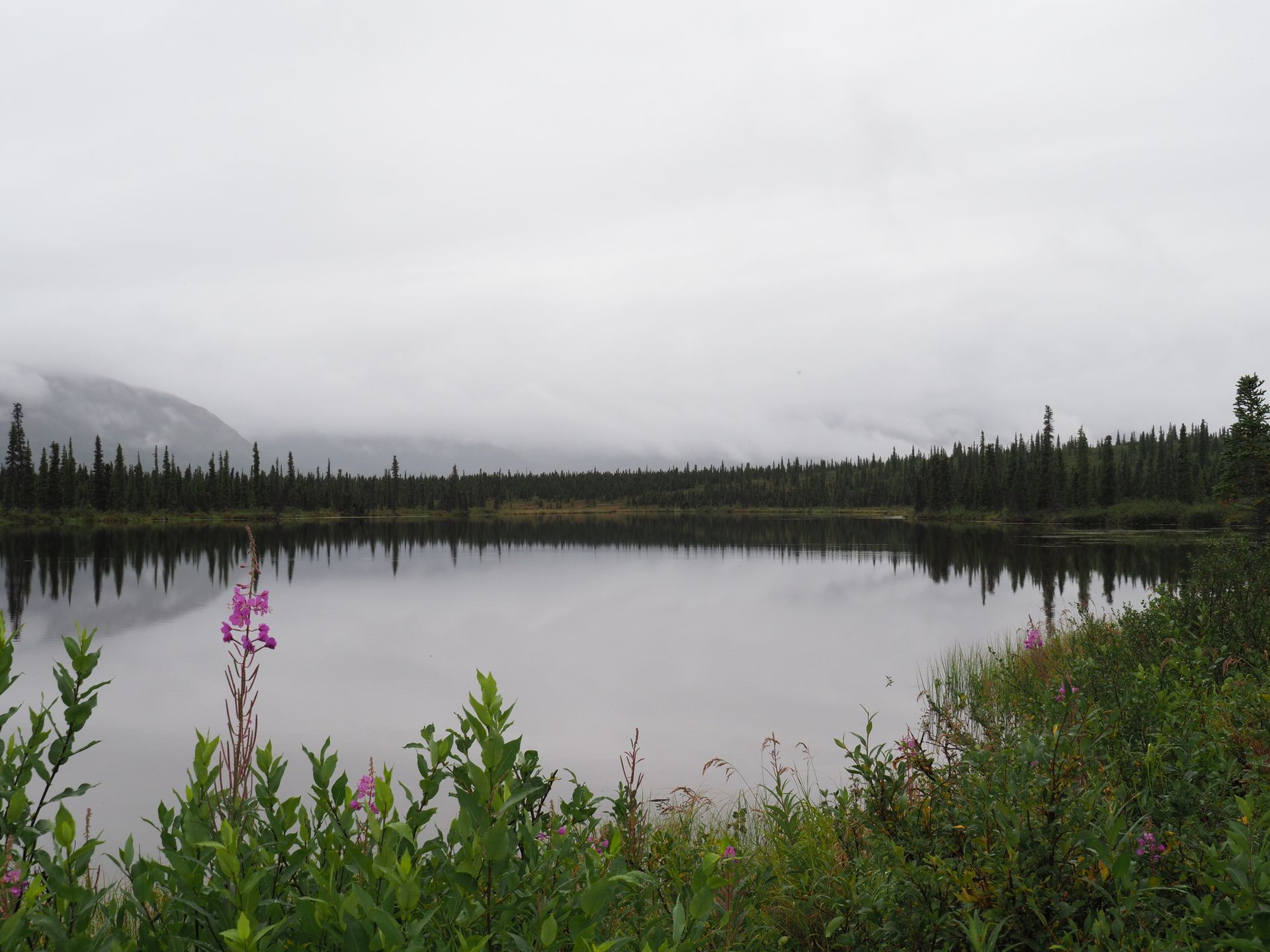
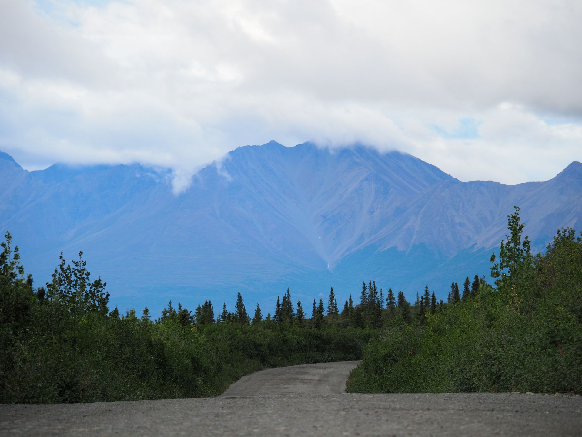
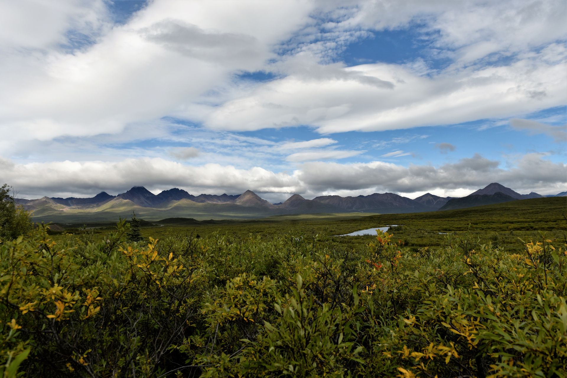
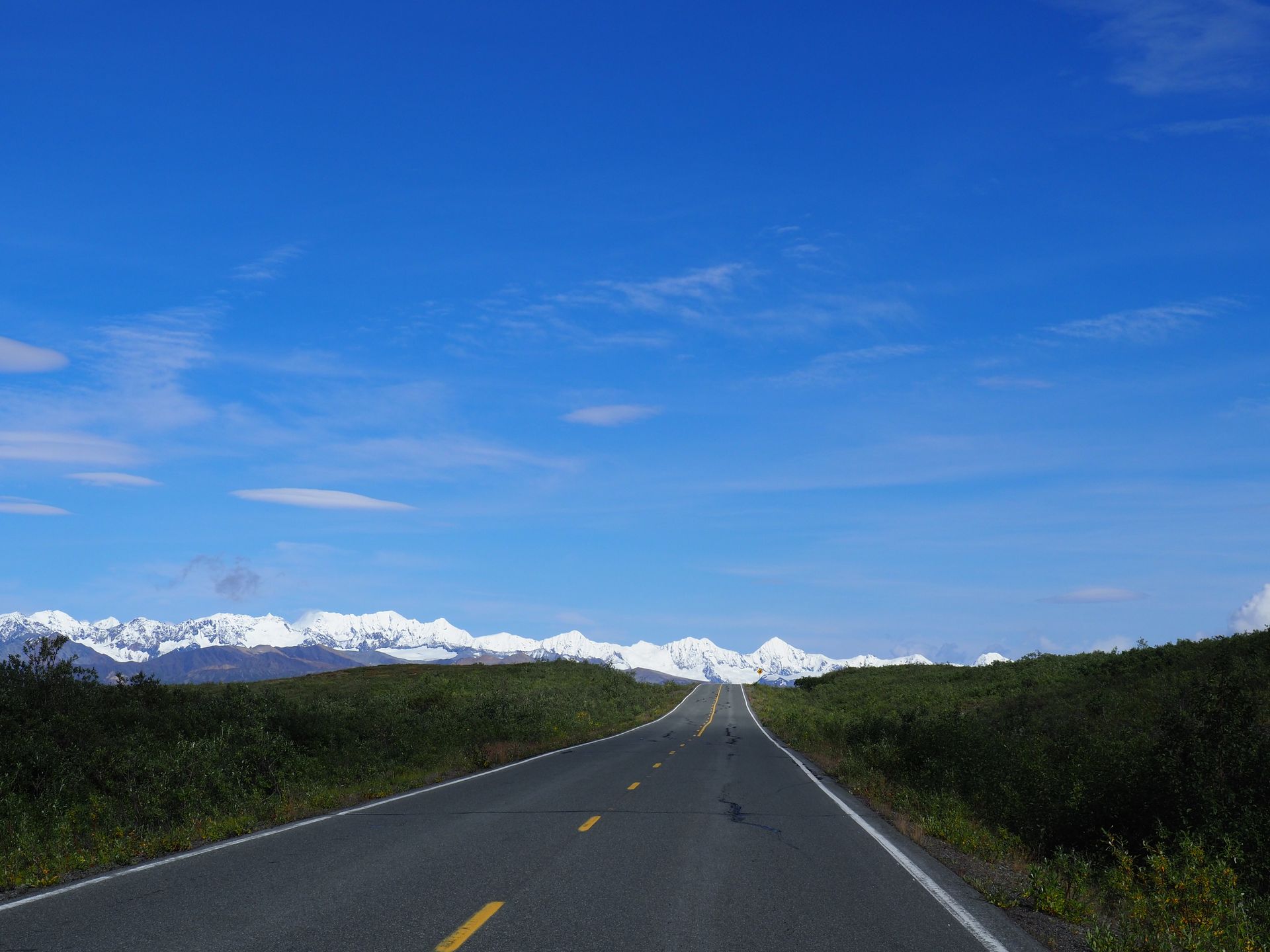
On the Denali Highway, we have rain, but we still see the beauty of nature, simply magnificent. After a few miles, we see campers everywhere, large campers with trailers with 4x4 ATVs on them. What are they doing? Don't Alaskans have to work?
They are hunters! We stop at the Clearwater Lodge for a coffee :-) A very small wooden container, furnished very western-style. Empty, except for the two guys working there.
They explain to us that in August it's caribou hunting (1 permit per caribou), and in September it's moose hunting, that's why the Denali Highway is soooo busy! With us, guys with rifles and camouflage uniforms only start wandering around in September, that's why there is confusion.
In the middle of the highway, we find a cozy spot for our Verny and make ourselves comfortable in pouring rain.
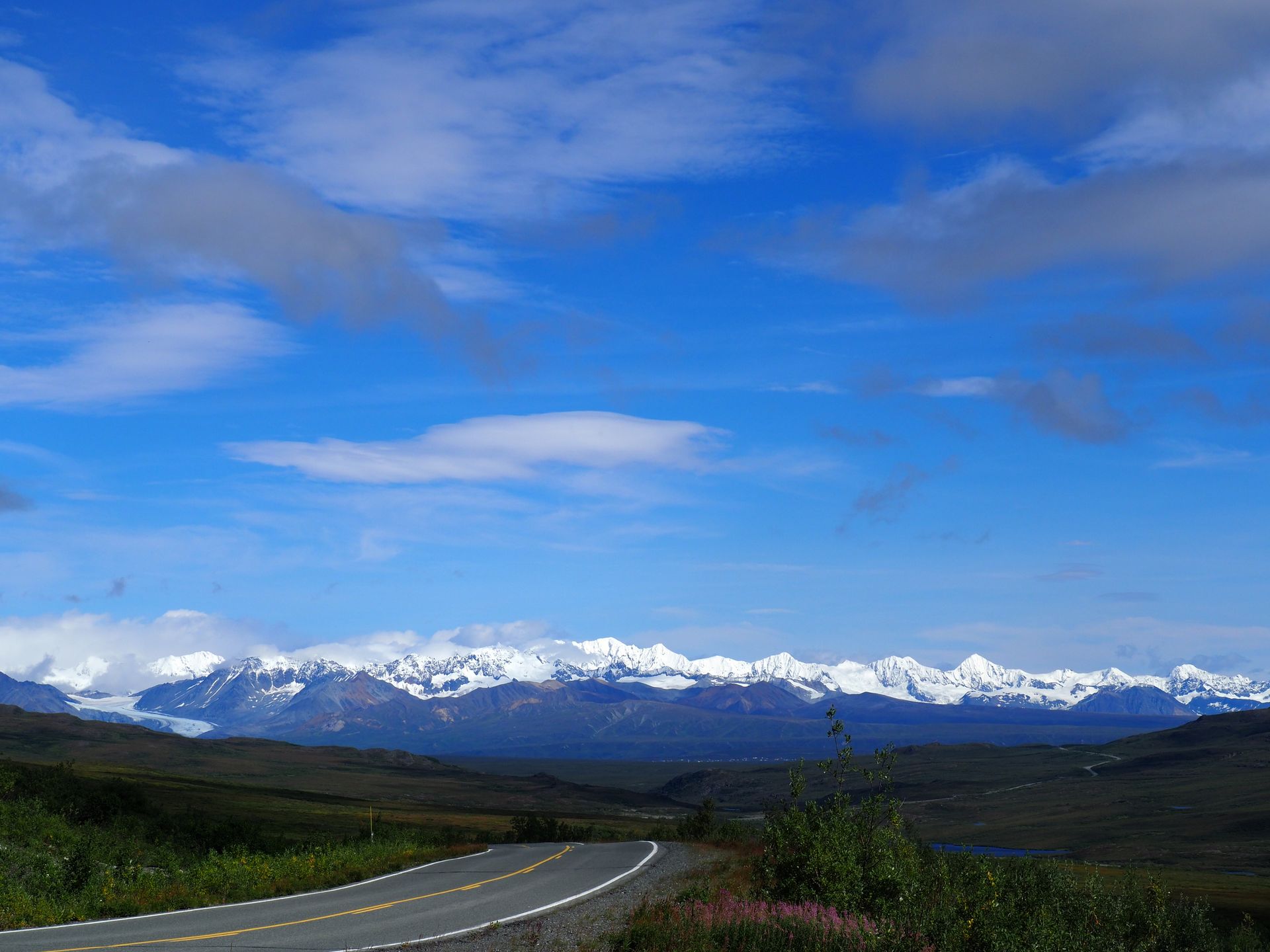
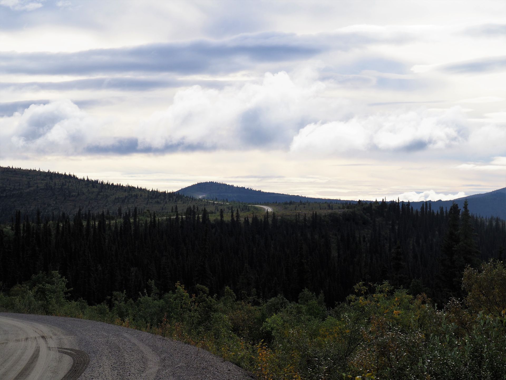
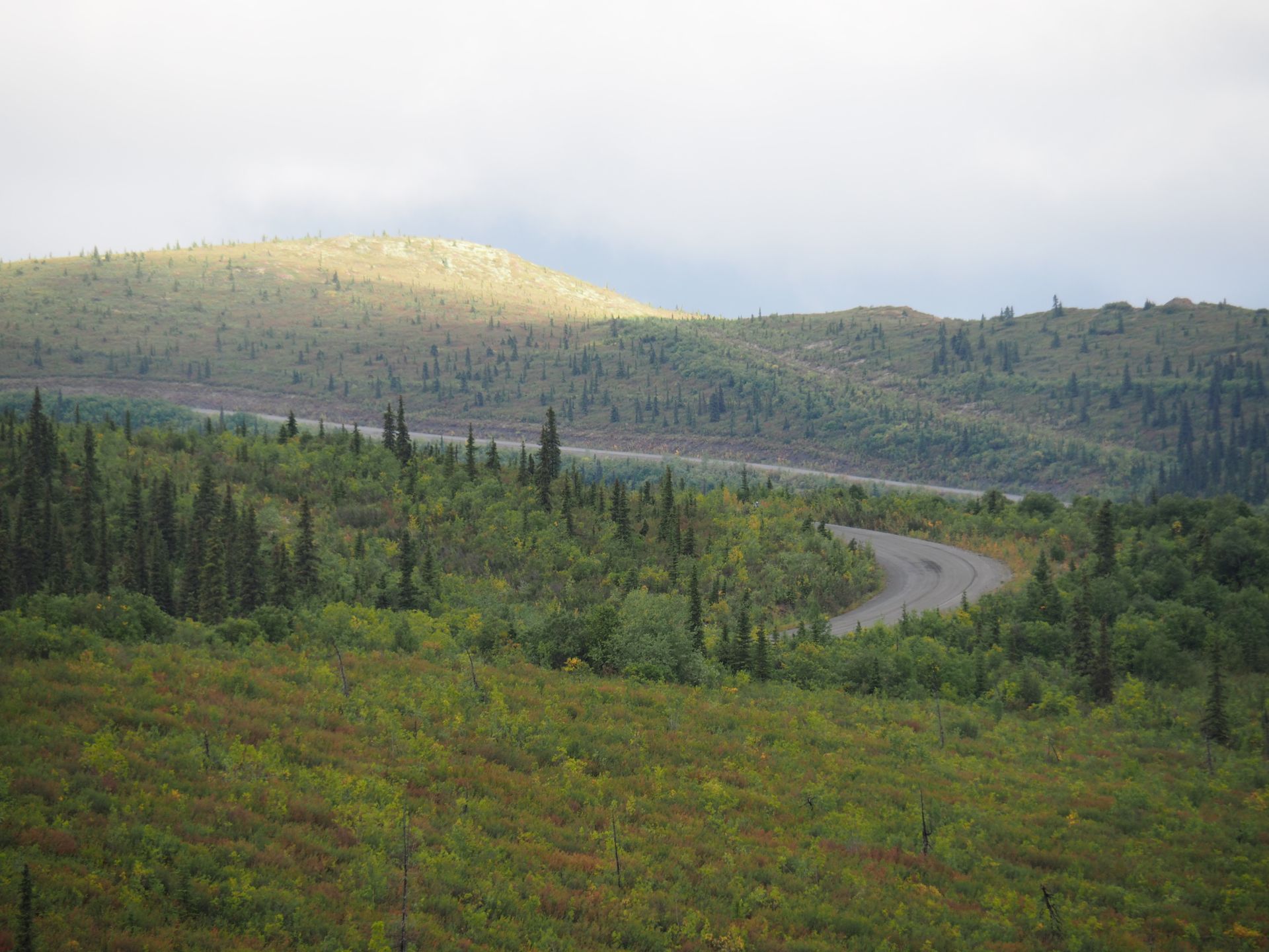
The next morning brings dry, better weather, still around 10 degrees Celsius. With better visibility and livelier colors due to partial sunshine, the second half of the highway is spectacular! The detour was more than worth it! The road and scenery are very similar to the Denali Park Road.
In the Mc Laren River Lodge, we treat ourselves to a coffee, admire locally produced Damascus knives, and stroke caribou fur. The last 21 miles are paved again but no less beautiful! The snowy Alaska Range in full sunlight! Highway to heaven?
In Paxson, we head north on the Richardson Highway towards Delta Junction. We keep seeing the above-ground part of the Alyeska Pipeline. This structure, running through the wilderness of Alaska, is as fascinating as it is ugly. Built in just over two years for $8bn, from Prudhoe Bay to Valdez, it is 800 miles long, with a diameter of 48 inches (1.22 meters), it passes over three mountain ranges and more than 500 streams and rivers. And all this through one of the most seismically active zones in the world. The fact that the lessons from the 1964 earthquake were taken into account during the construction is proven by the pipeline during the earthquake on November 3rd, 2002 with a magnitude of 7.9, about 50 miles west of the pipeline. The strongest earthquake on the 'Denali Fault' since 1912. The ground moved horizontally by about 18ft and vertically by 2.5ft.
Almost no more traffic, nature slowly turning red and yellow. A moose eating at the side of the road and a northern hawk owl on a tree that flees when we stop to photograph it make the attention rise on the passenger seat.
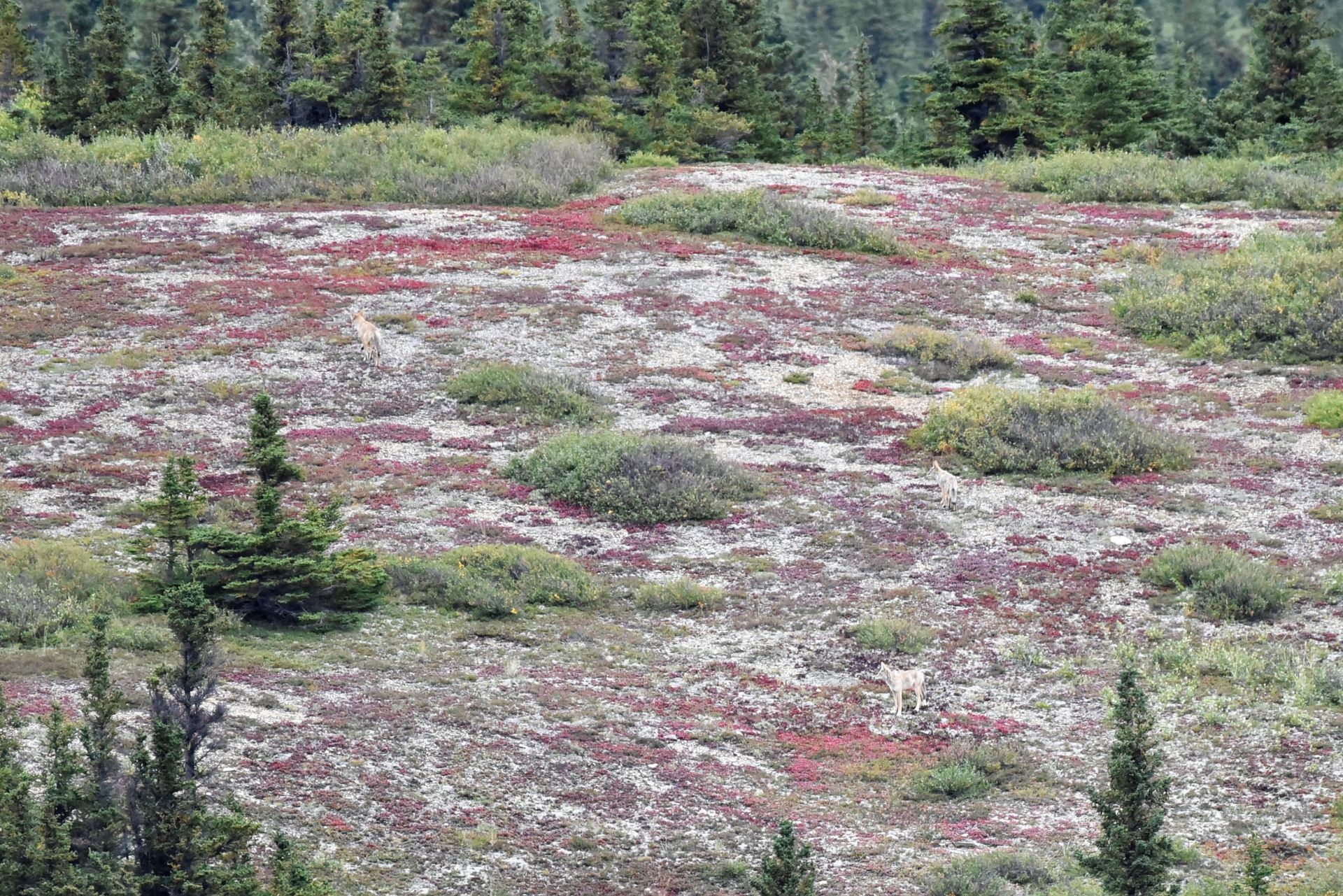
Shortly before Delta Junction, we park next to the road above a small lake to spend the night. While having an aperitif, Marcel spots 3 wolves, or are they lynxes? We are still not sure, and a playful moose that almost disappears completely in the lake while eating. During our dinner, she suddenly jumps up. What did she see?
A huge spectacle! The next morning, she is back in the lake and having breakfast 'in the pacific'!
After doing the dishes, we head to Delta Junction. Verny is completely dirty. He urgently needs to be cleaned, otherwise, we will never get the dirt off. After cleaning - he is squeaky clean again- we head towards Tok. Delta Junction, Milepost 1422 is the end of the ALASKA Hwy (Mile 0 is in Dawson Creek, CAN).
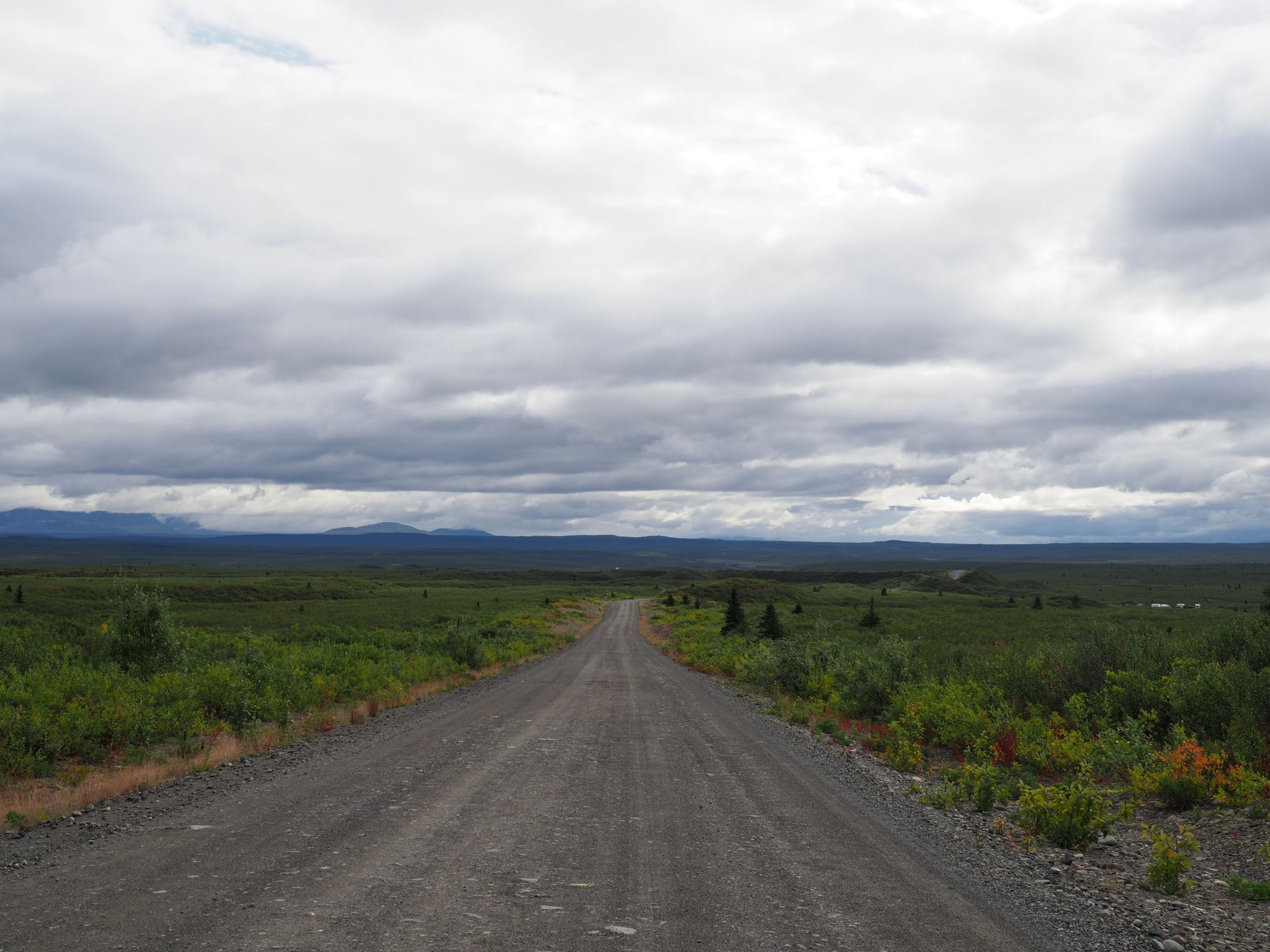
The highway to Tok feels like it has ZERO curves! No traffic, no animals, just nature, hills, mountains, plains, grasses, trees, bushes, everything is there.
We've been to Tok a few weeks ago, the circle is closing slowly, soon it will be bye-bye Alaska! Yukon, here we come!
Tok is sleepy, has a few souvenir shops, a Three Bears, and Edy's. 15 miles further south, there is the turnoff to the Taylor Hwy to Chicken. Before the border, some alcohol, meat, and fresh vegetables/fruits have to be taken away from the potential conflict risk. Shortly before the pass, we therefore indulge in a restful night with a sumptuous menu and top-notch Merlot before crossing the border into Canada. In the morning, we continue to Chicken. The 'village' runs on electricity from a diesel generator and without running water.
Folks from 'Top of the World St. Moritz' travel the 'Top of the World Hwy' towards the Canadian border. The crossing goes smoothly, the officer checks our passports, wants a little travel information, and then says 'Welcome back to Canada'. From now on, it's kilometers again, no longer miles, and Pacific Time, so 9 instead of 10 hours behind Switzerland.
50 km after the border, on the Top of the World Hwy, we camp on a hilltop and enjoy the panoramic view! ....and Verny is completely dirty again...!
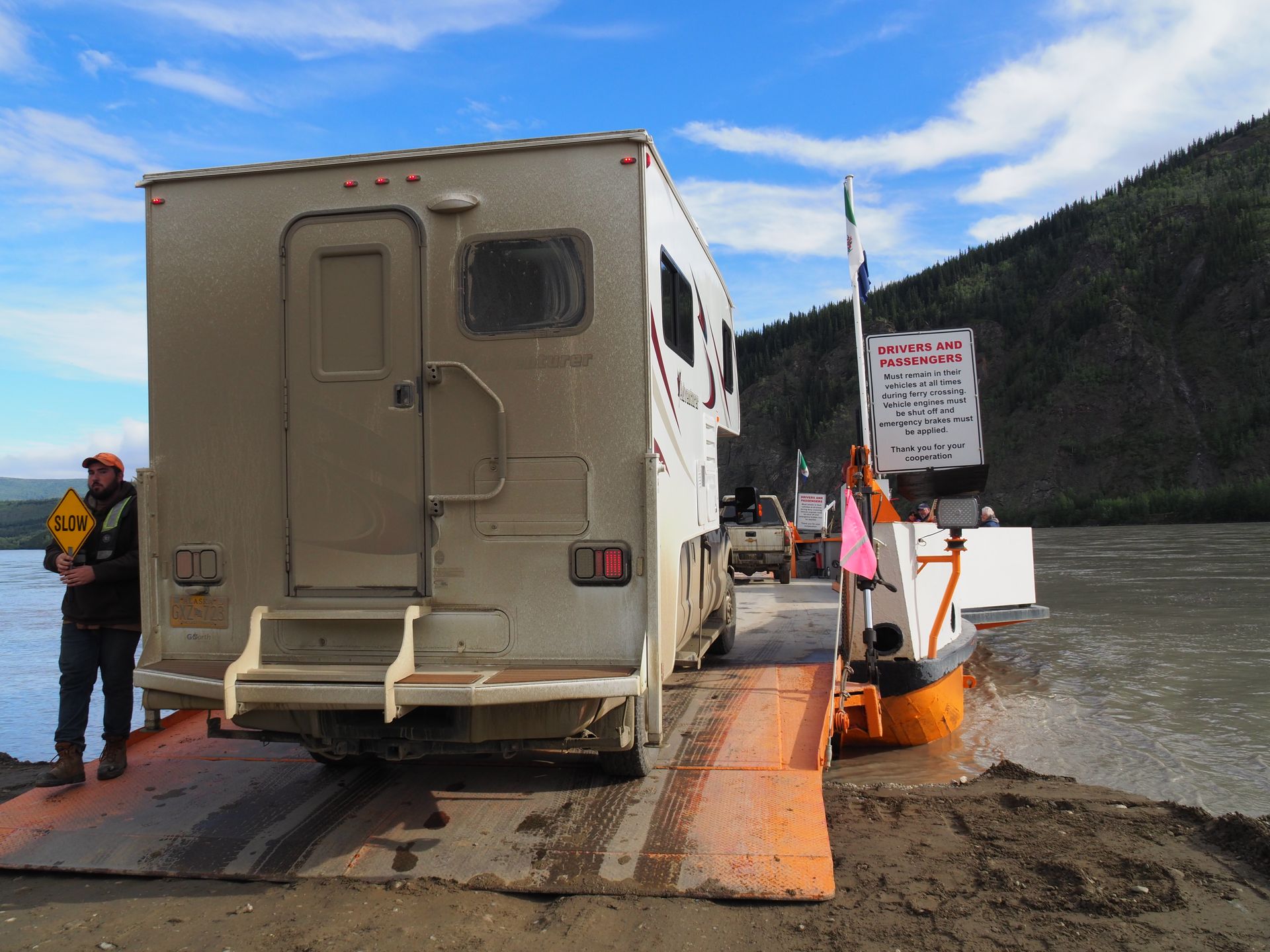
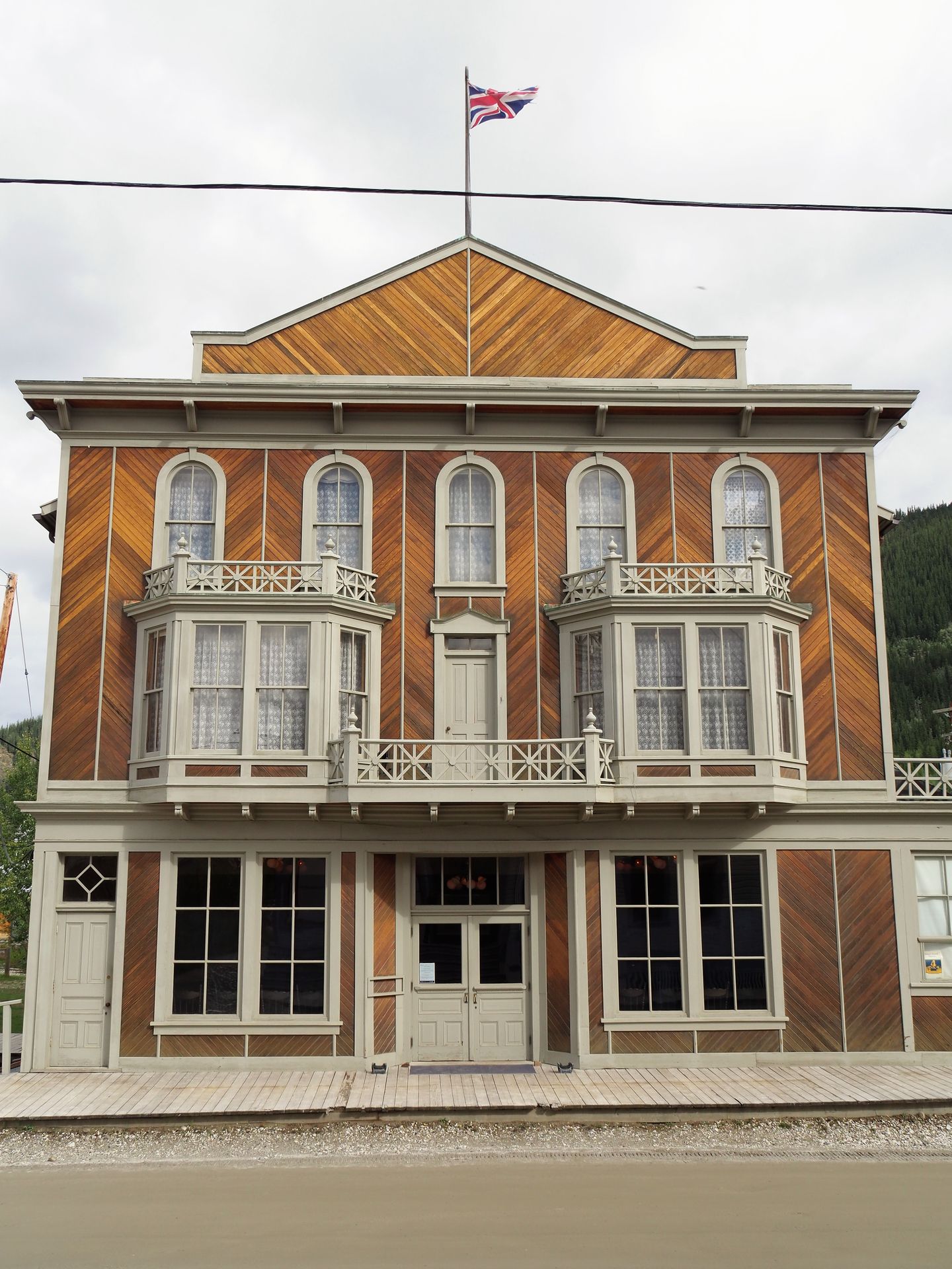
In the morning, motorcycles and all sorts of rally cars rush through our 'living room' (www.alcan5000.com/2018) on the stage from Dawson City to Cooper River. Riding along the Yukon is super cool, the ferry drifts incredibly in the current from shore to shore. In Dawson, it's time to get rid of waste again, stock up on food, water, and gasoline. We're ready for the Dempster Highway, but more on that next time.
Goodbye
Nyorera kune Newsletter
Pindura (1)
Silvia
Ist ja wieder gewaltig dieser Bericht, wie Bilder.
Wünsche gute weiter Reise in Kanada!!!
Mishumo yekufambisa USA