5.2.2018: The little brother of Scotts Track (see 'Hardest Day Tramp ever')
Objavljeno: 10.02.2018


Naročite se na glasilo
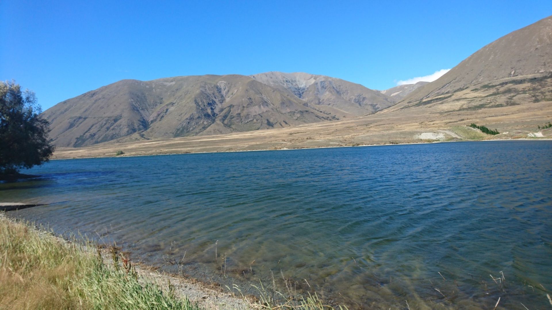
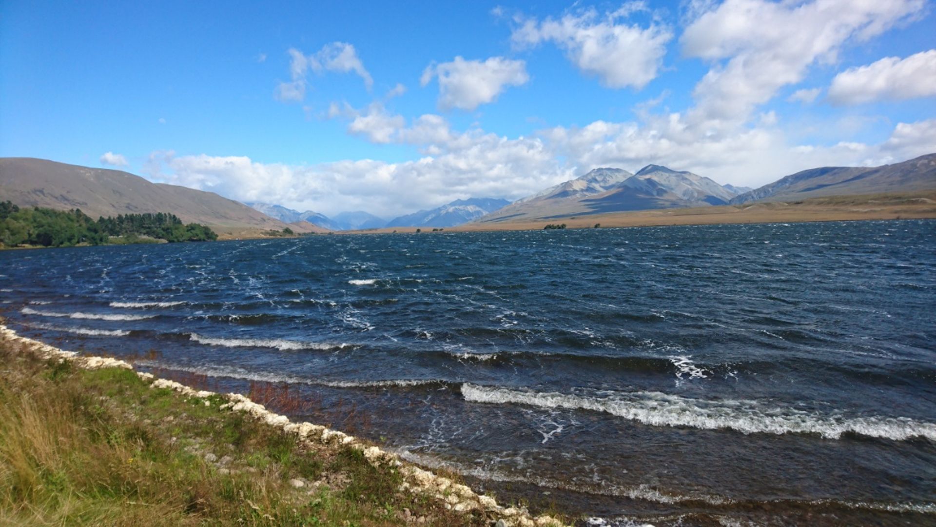
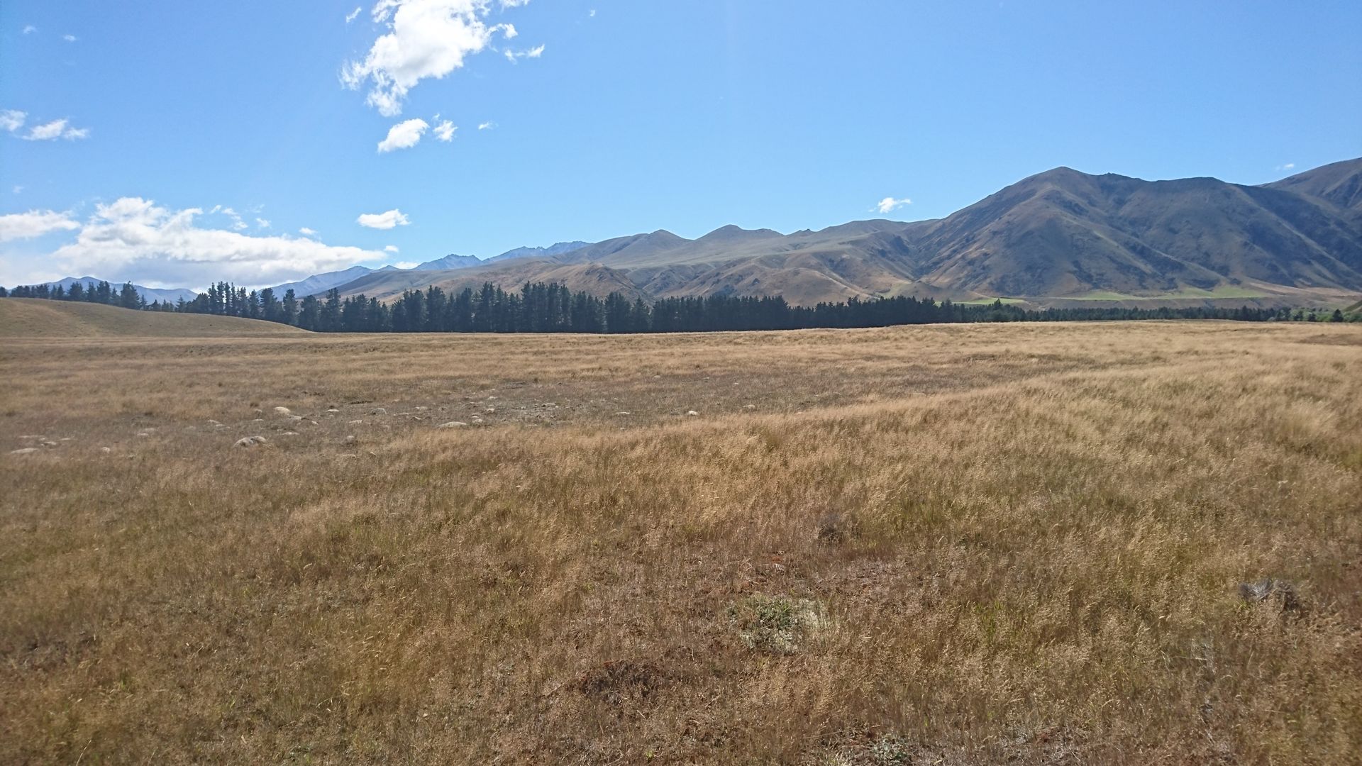
I won't make it to 'Edoras' today, the road is simply too bad and takes a lot of time, but I don't want to miss Lake Clearwater. After a few kilometers, the asphalted road gives way to a good but increasingly worse gravel road. I reach the lake in strong winds, being the only one in shorts and a top among all the vacationing Kiwis (tomorrow is National Day and some have taken a day off to have 4 consecutive days off). After strolling along the lakeshore for about 20 minutes, I realize that this is not the expected Lake Clearwater, but Lake Camp. After another kilometer, I finally reach the actual destination, but the desired view is denied to me. On the one hand, it is far too windy for a reflection of the surrounding mountains, and on the other hand, one searches for snow in summer on the mountain ridges in vain, and without snow, the panorama is far less impressive.
Now I can devote myself to my hike. It starts from a surprisingly crowded parking lot at the end of a quite bumpy and narrow gravel road. Instead of the 27 km long hike, I decide (again on recommendation of my guidebook) for a nearly 10 km long circular walk. I read on the internet that you should plan at least 5 hours for this, and that's exactly what I estimated. I should have read the whole article in the book again, which mentions something about 'difficult' as well as 5.5 to 6.5 hours.
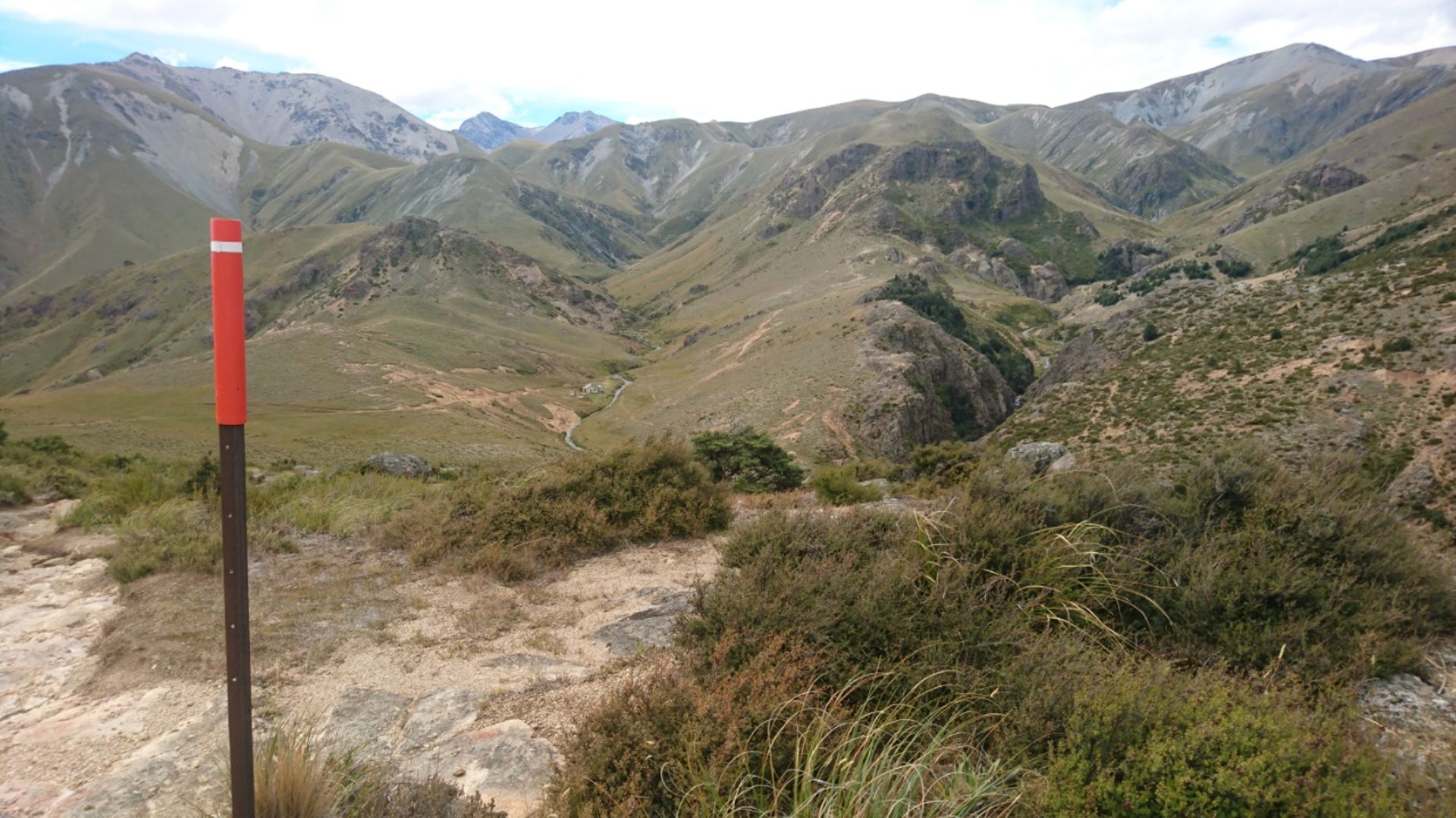
With enough provisions and water, I head initially on the very strenuous Rhyolite Ridge Track. The well-developed hiking trail then gives way to an extremely steep scree slope, where I repeatedly slide. In addition, the orange markers are so far apart that I accidentally skip one and struggle 'off-road' to reach the only one visible at the top. More than once, I unintentionally trigger a small avalanche. The view is absolutely fantastic, although you don't want to enjoy it for long in the strong wind, which makes the whole endeavor even more difficult. The first 1.8 km are done and took me a little longer than the advertised hour.
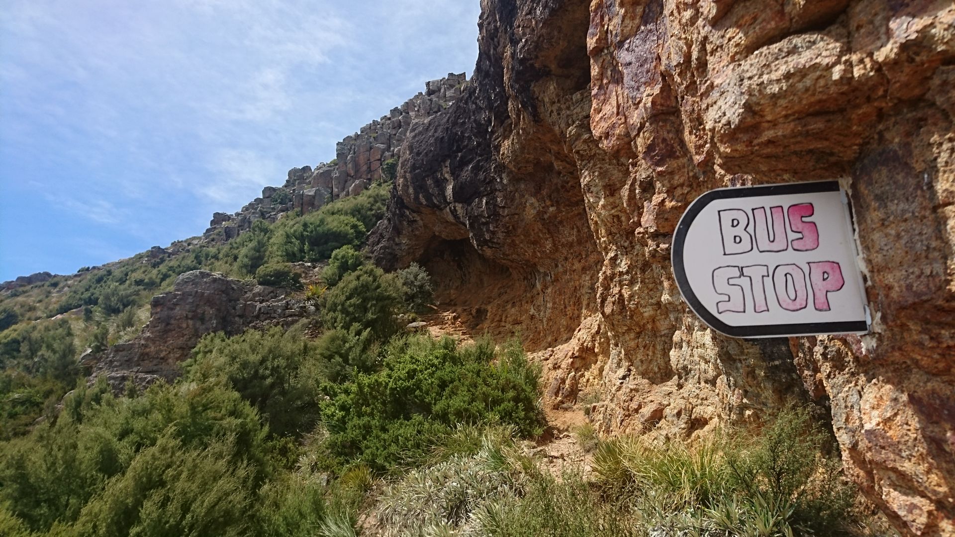
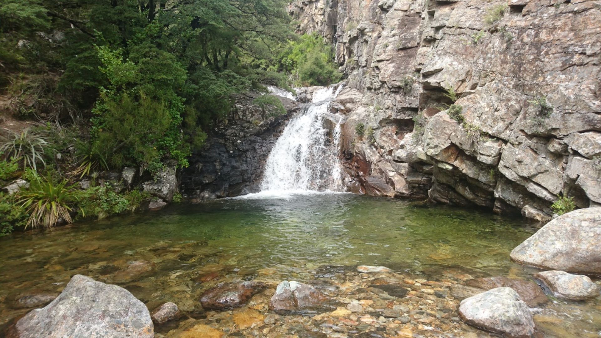
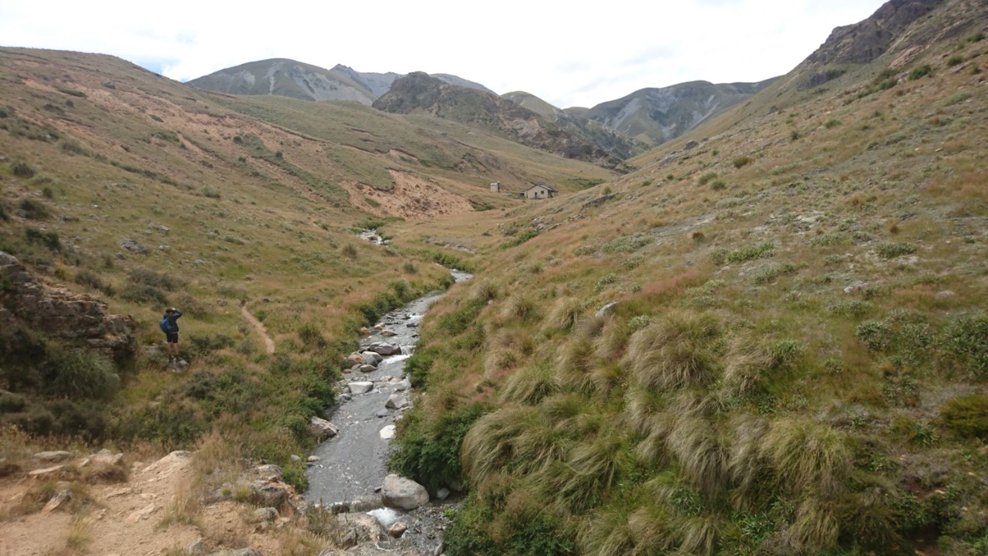
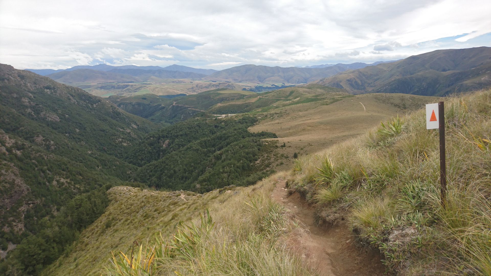
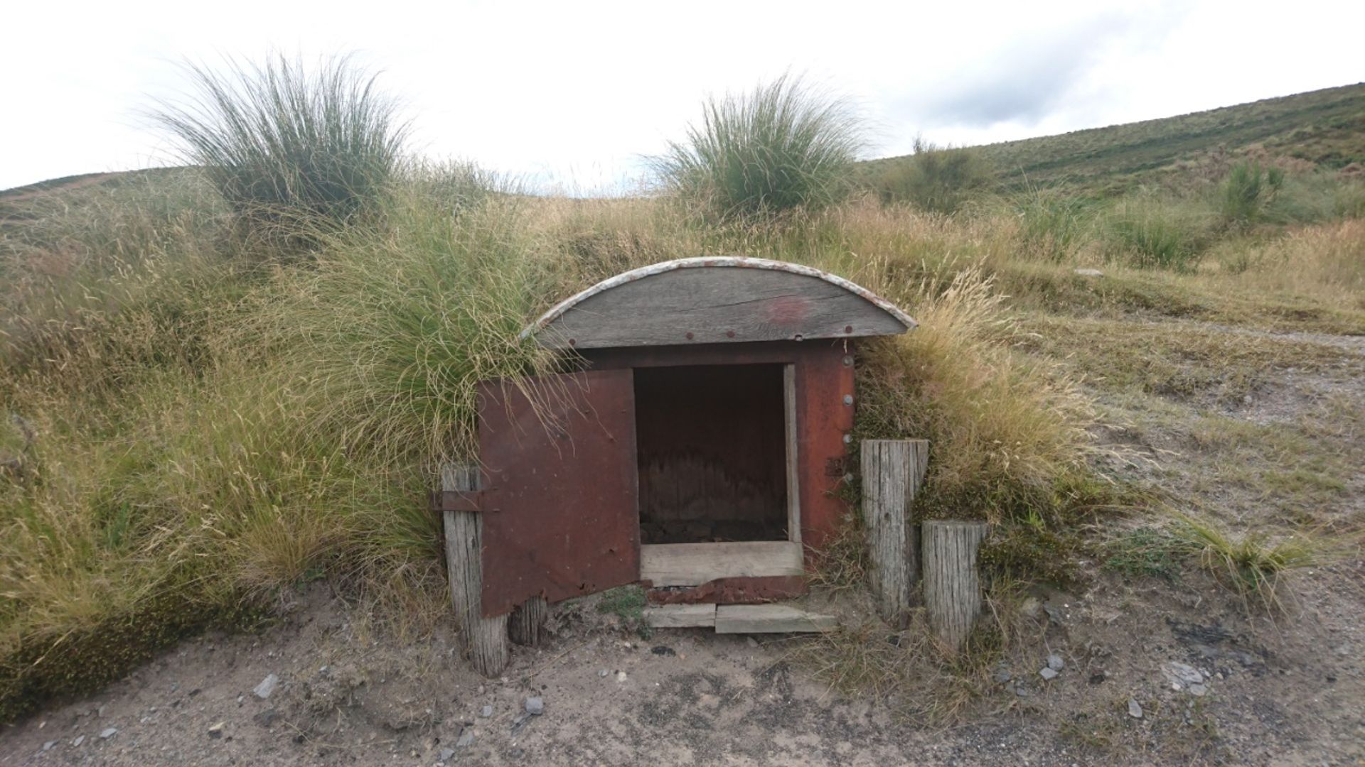
Short break behind a somewhat wind-protected stone. It continues on the Mt. Somers Track, which is already partially overgrown, through a tussock grass plain until the path winds up again. The funny bus stop overhang gives the next reference point about my location and at the same time marks the highest point of the hike at 1,130 m. On clear days, you can see all the way to the Southern Alps from here, but today they are shrouded in clouds. Once again, I miss a marker and plow through low thorny bushes that scratch my bare calves and over loose rocks to the next visible one. Although it is already 2 p.m., I dare not take a lunch break and push myself to keep going. Eventually, I catch sight of the eagerly awaited Woolshed Creek Hut in the distance and reach the mentioned waterfall as well as the small green shimmering Emerald Pool. The markers frequently change their shape. Although they always have orange in them, it is confusing to suddenly come across a small orange triangle on a tree instead of a staff with an orange tip. Many a hiker has thus lost their way and mistakenly followed the markings to an animal trap set up in the bush. Suddenly, the track on the mountain ridge seems to end. But I can't have missed a marker, can I? Becoming slightly panicked and furious about the poorly maintained path, which keeps making me slide, as well as the sparse trail marking, I run back a bit, but can't find an alternative turnoff. So, I sprint back across the river (where I wonder what hikers do when it floods after heavy rains and can't be easily crossed by jumping from one stone to another) and panting up to the mountain ridge. Upon closer inspection, it turns out that the track continues well hidden on the other side. At times, I follow the supposed hiking trail on a whim due to the lack of markers, which ultimately turns out to be correct. After crossing the narrow suspension bridge (not for people with a fear of heights) and a short detour to the grass-green Emerald Pool, I finally reach my turning point - the Woolshed Creek Hut. I take a short break to catch my breath on the bench in front of the hut, but after just a minute, I'm back on my feet. The extremely intrusive bumblebees are to blame, immediately flying into my backpack and onto my water bottle.
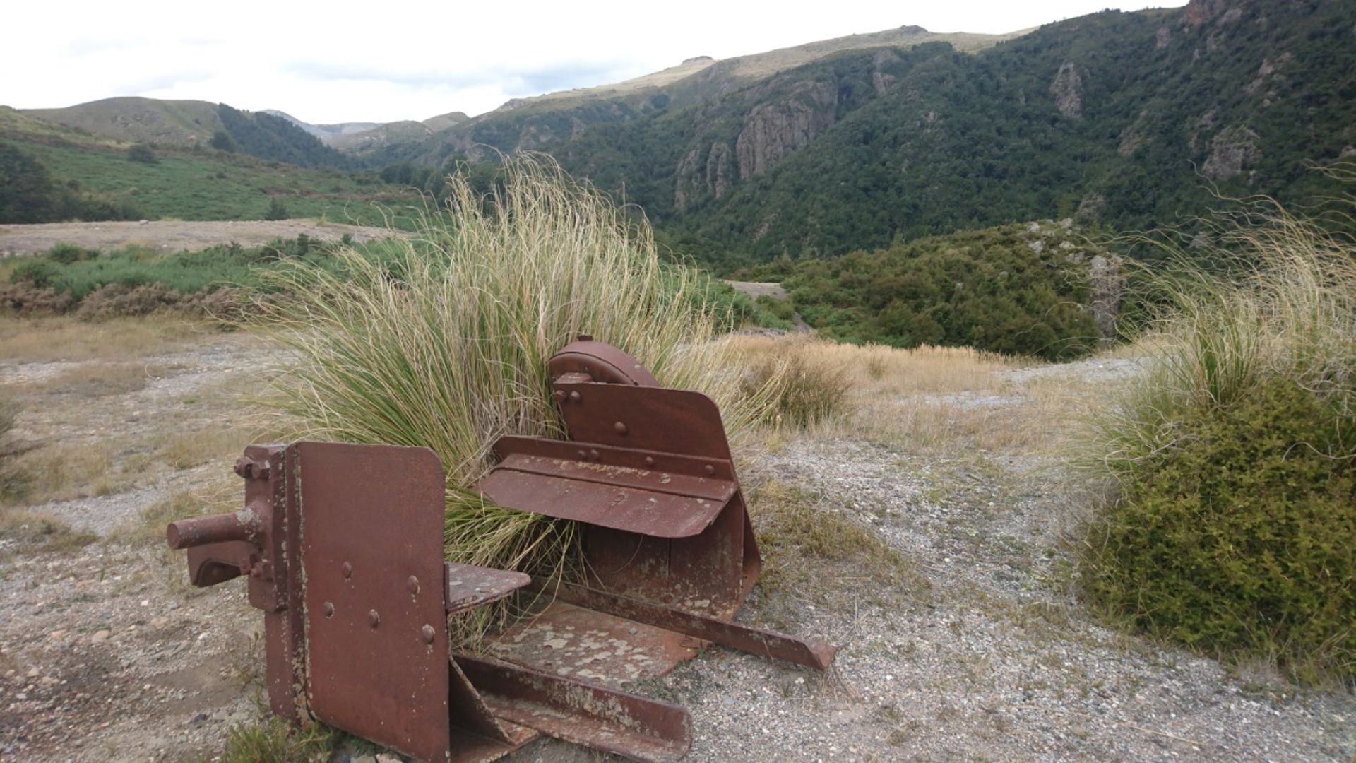
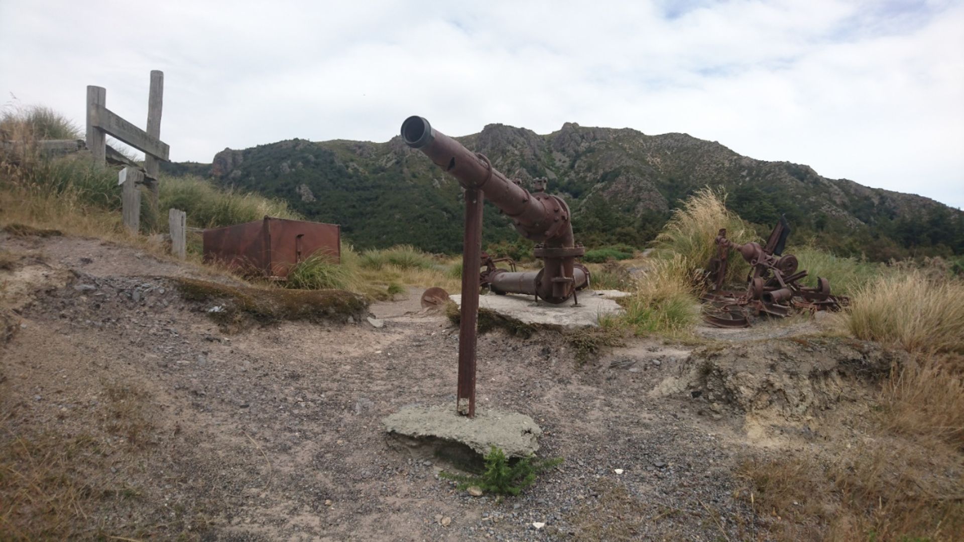
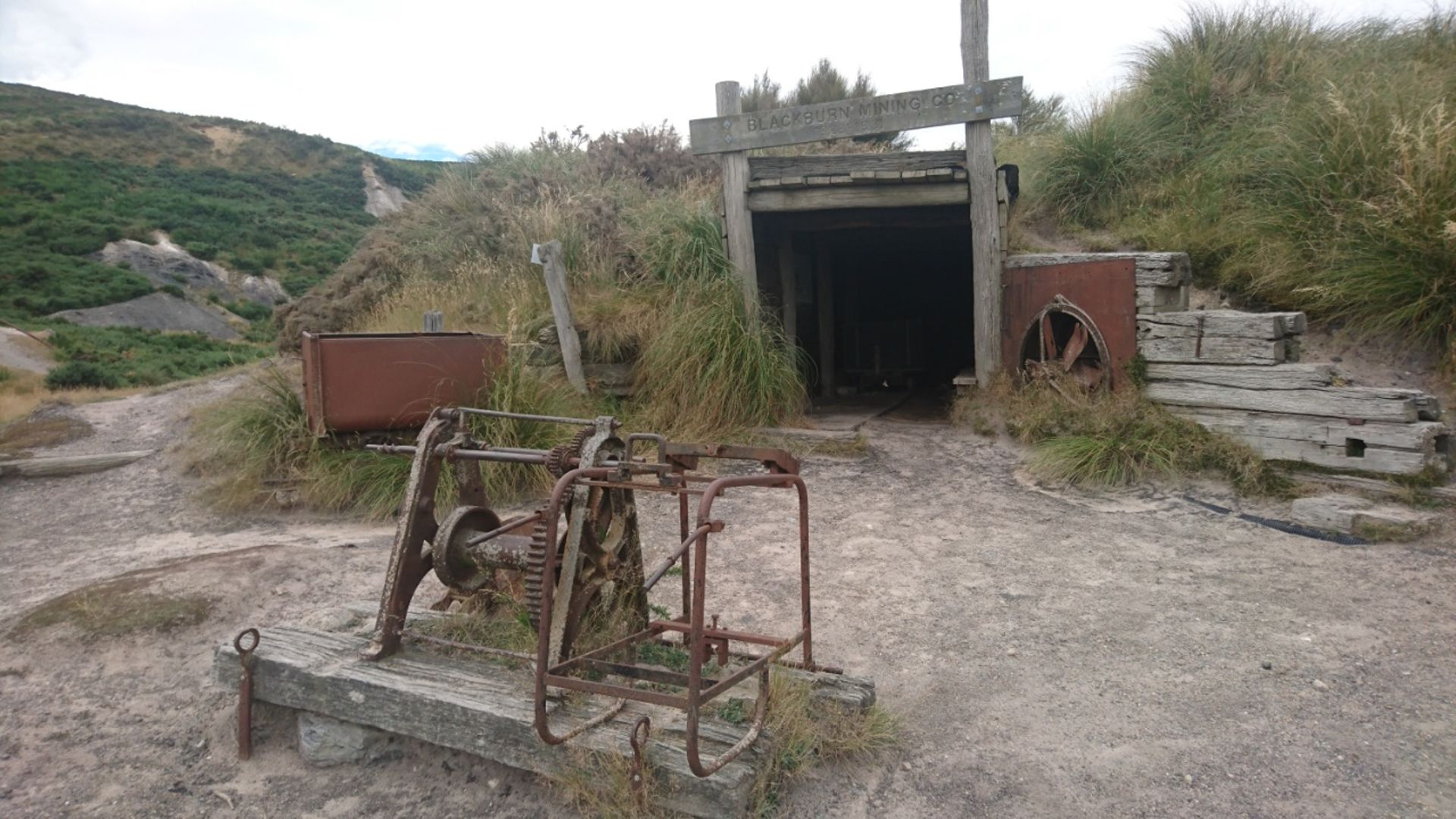
From here, the path leads back to the parking lot via the Miners Track. Either I missed a marker right at the beginning again, or you really have to skilfully maneuver along a rather steeply sloping stone bed just above the river. Not so easy. Probably even less so in wet conditions. I quickly leave the hut behind and work my way up from 814 m to 934 m. From here, it's pleasantly downhill through easy and well-signposted terrain, where I make up a lot of time. The last highlight is the remains of the former Blackburn coal mine before the track reaches the parking lot. I'm so glad to finally be there!
In fact, I managed the Mt. Somers Loop Track in 5 hours, but the fun was left behind. The views from the track are beautiful, but whether it's really worth the 60 km detour from State Highway 1, everyone has to decide for themselves. In my case, it doesn't make it into the top 10.
Naročite se na glasilo
Odgovori

Poročila o potovanjih Nova Zelandija