Day 11 - Rondane
Objavljeno: 08.08.2018
Naročite se na glasilo
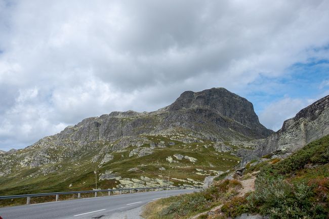
It's time to make some more kilometers to the north, eventually we want to reach the Lofoten islands. We leave the camp at Vangsmjøse and continue driving on the E16 towards east. To go further north, we have to take road 51, which passes east of Jotunheimen. Google Maps leads us there on the shortest route, but unfortunately Google doesn't know that this road is in very bad condition and is currently under construction. The latter means that we encounter a digger three times that is about to remove the road surface. Each passing is a nerve-racking experience, as the diggers leave anything but a smooth track behind and don't leave much space to pass, while there's a drop down the mountain on the right side.
Finally, we are on the road 51, which goes straight north. It also takes us through the winter sports resort Beitostølen, which looks just like an overcrowded winter sports resort in our region Allgäu, but in Norwegian architecture.
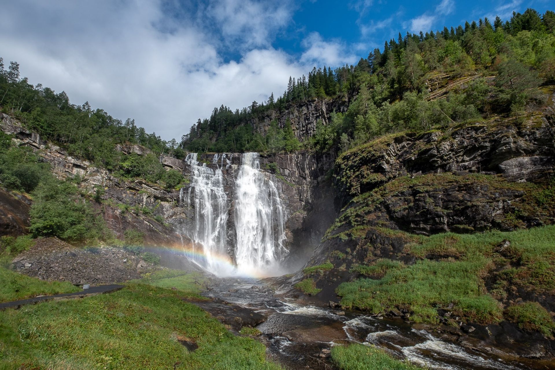
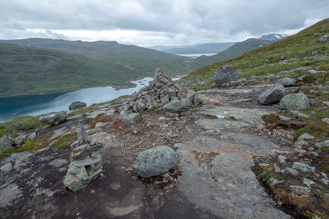
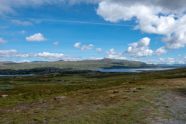
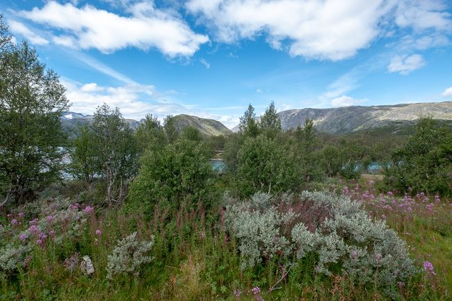
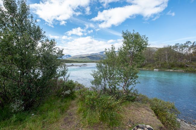
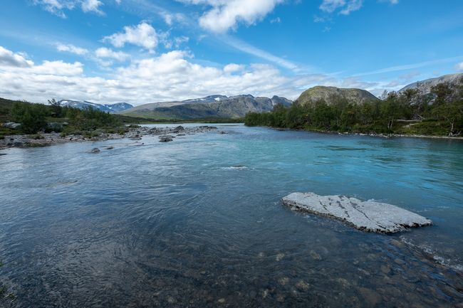
Shortly afterwards, it gets really interesting again, we return to Jotunheimen, which is on the left side of the road. Impressive peaks on the left, extensive fjells on the right. Already at the beginning, the scenic impression seems almost unbeatable, but with every kilometer, the nature becomes even wilder and more beautiful. Alongside the road flows the raging mountain river Sjoa, which finds its way through numerous waterfalls and deep rock gorges. I am speechless in the face of this natural beauty, and at the same time sad because we are only passing through here. How much I would love to stay here for a longer time and explore the different facets of this landscape! However, as already mentioned, being able to see everything is a wishful thinking. We will return.
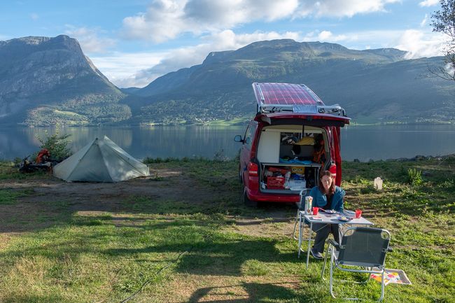
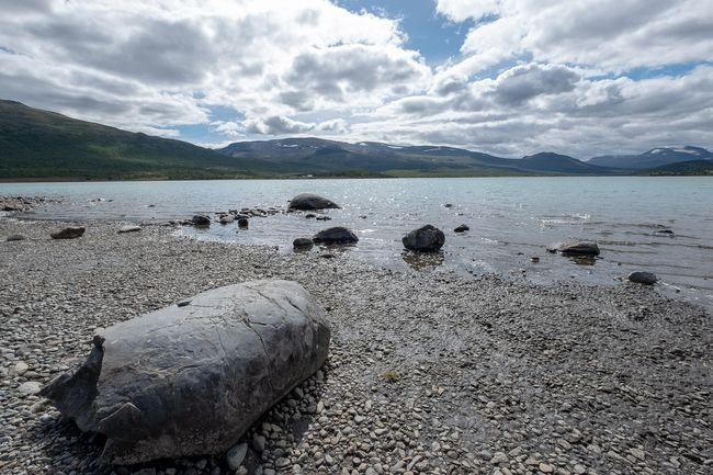
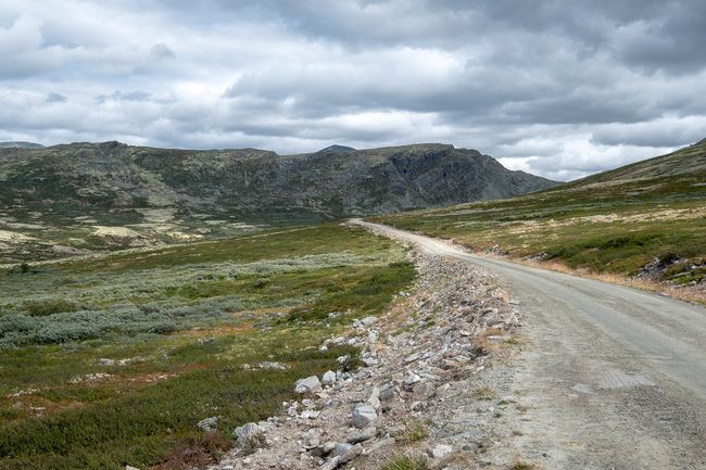
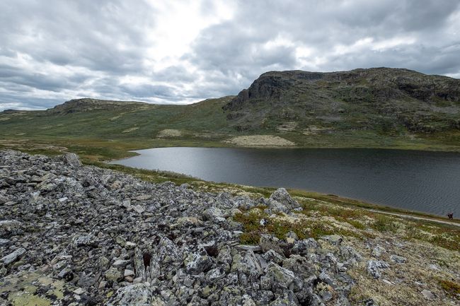
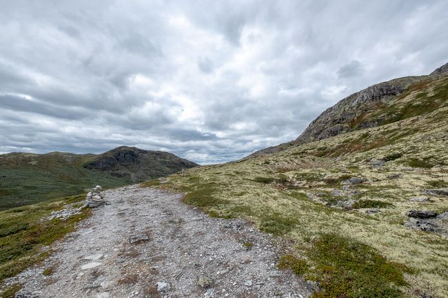
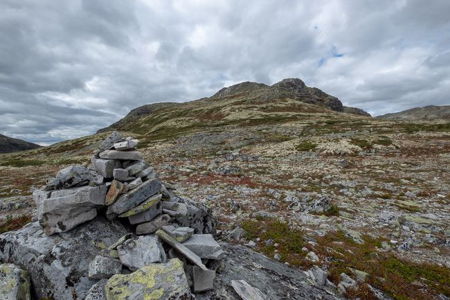
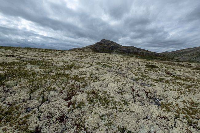
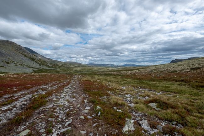
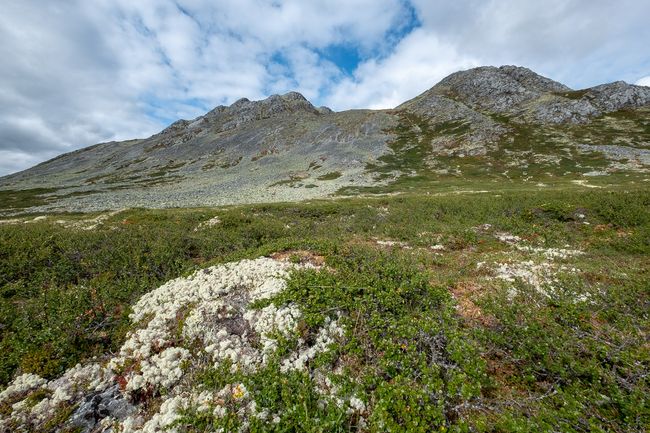
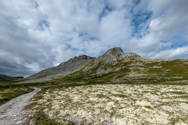
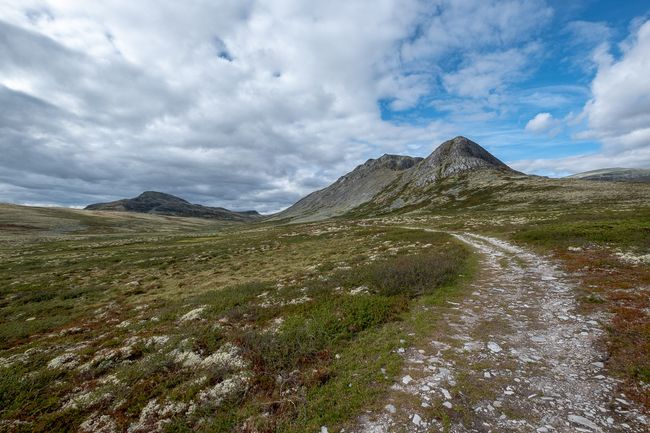
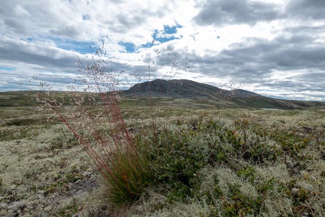
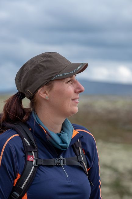
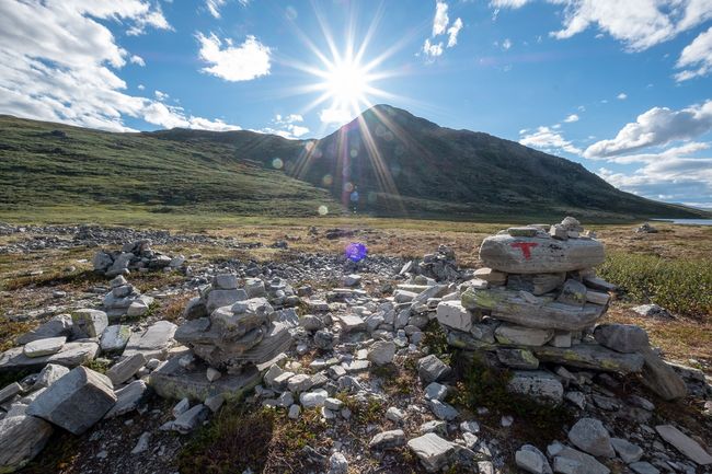
Today's stage ends in the regional "metropolis" Otta, which is located at the mouth of the river of the same name into the river Gudbrandsdalslågen. After securing a camping spot, we drive up to the Rondane mountains to do a little hike at the end of the day and to alleviate my Jotunheimen melancholia. We climb up steeply through a picturesque number of hairpin bends to Høvringen, and the last kilometers lead over a toll gravel/tar road to Lake Høvringsvatnet, where we start the tour. We arrive at the right time, because the few hikers who are also walking there are already on their way back home.
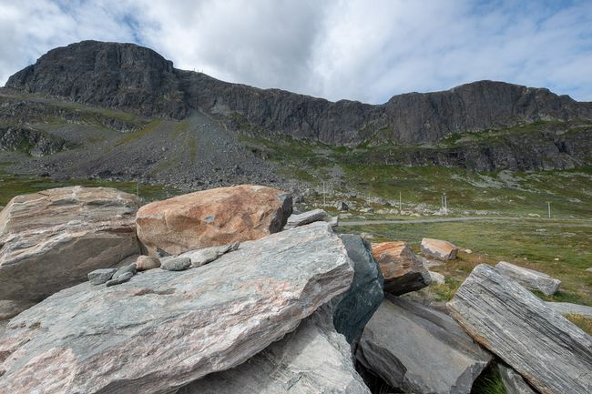
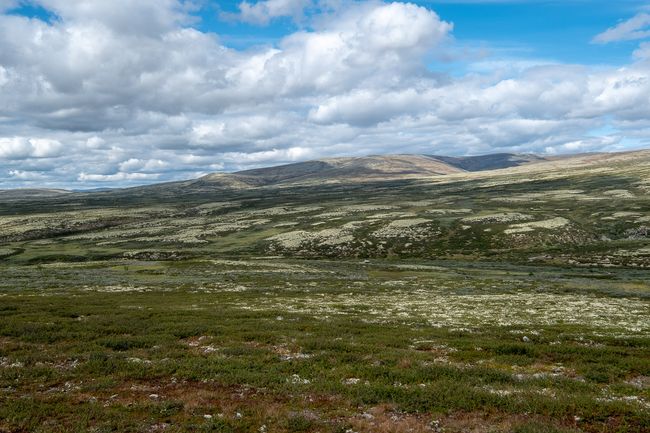
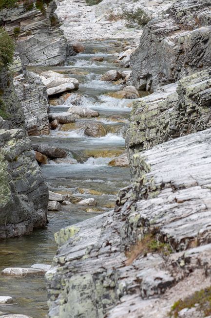
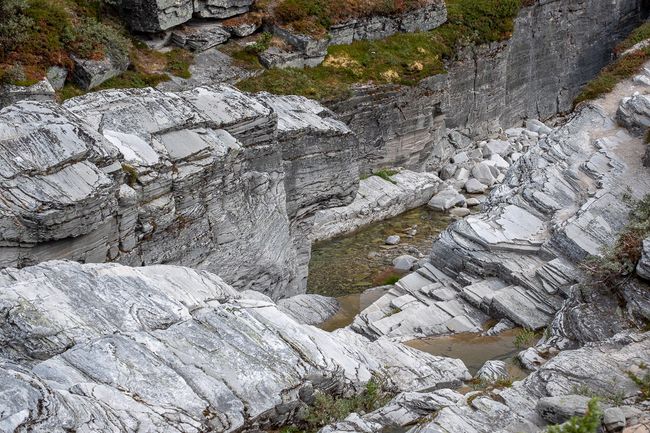
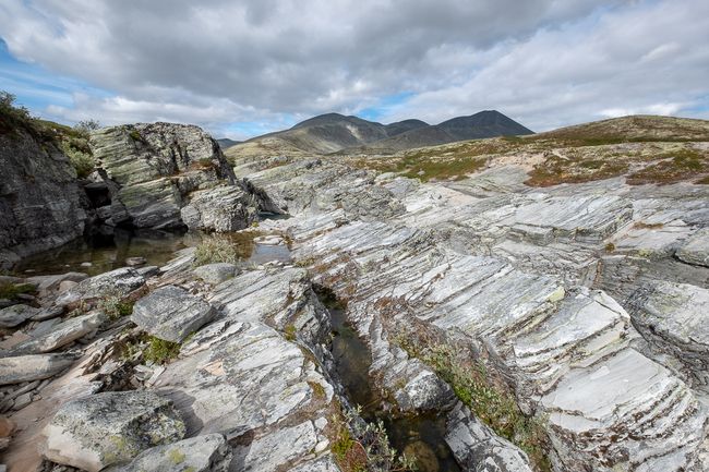
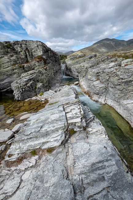
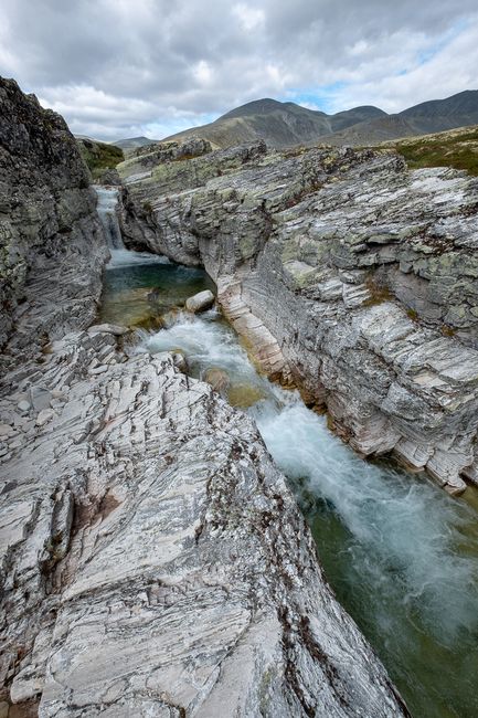
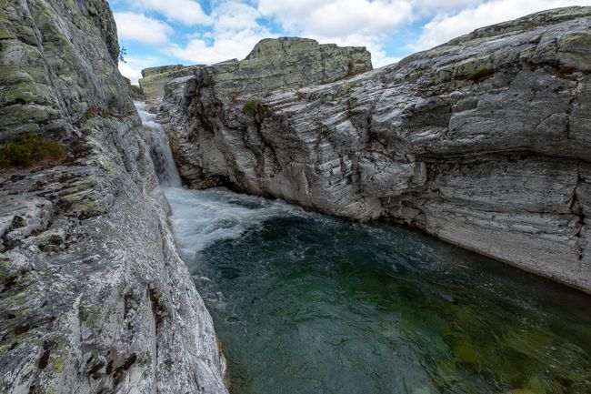
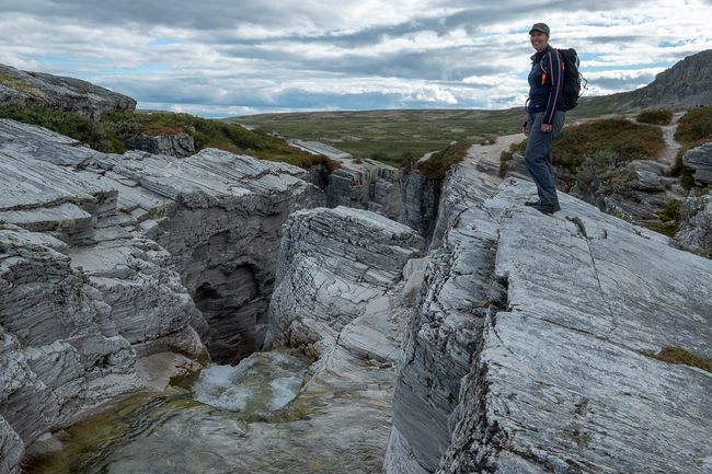
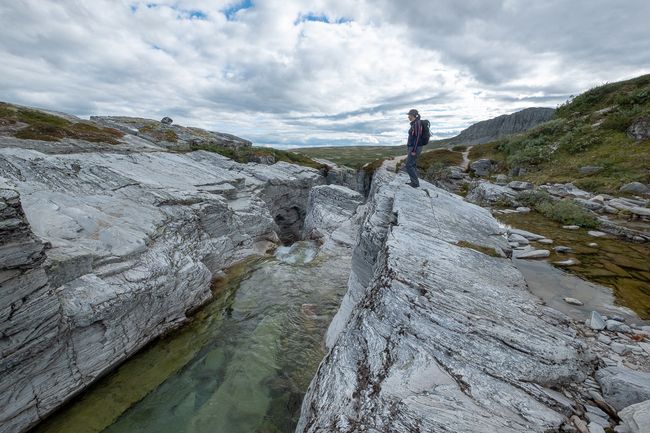
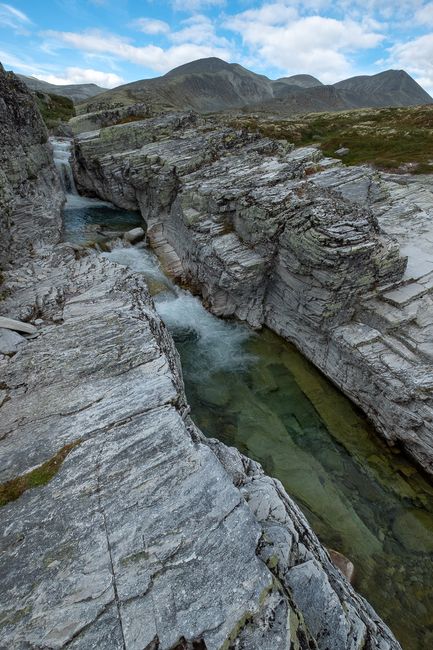
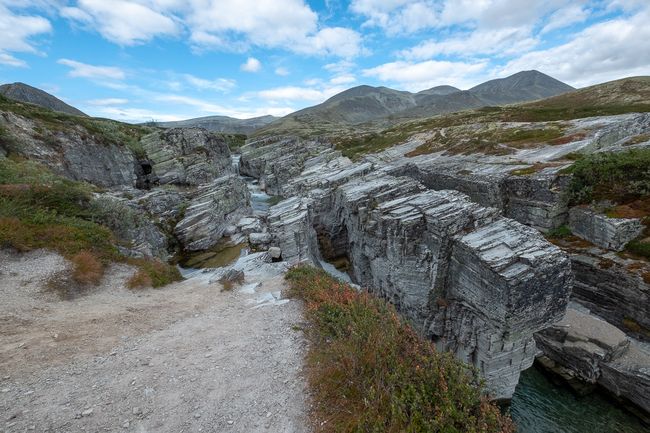
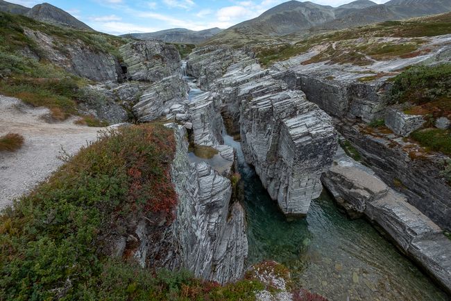
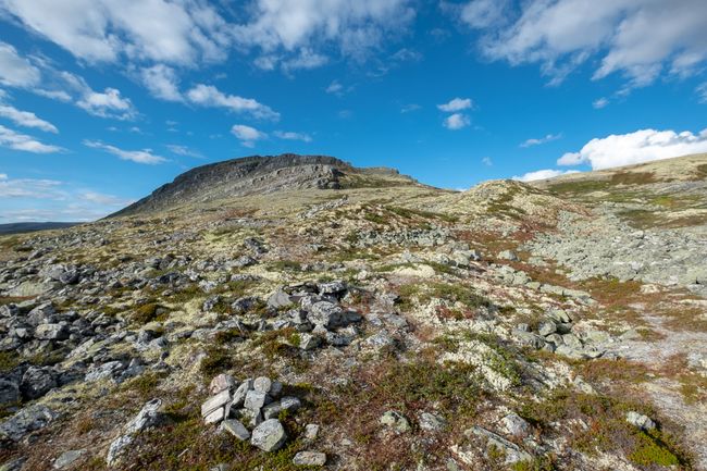
The hike is easy, the landscape beautiful. The highlight of the tour is the small river Vesle Ula, which flows through a canyon near the Peer-Gynt cabin. It looks as if a gigantic rock block has been sliced into slices with a knife, which then fell to one side.
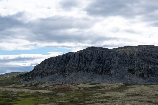
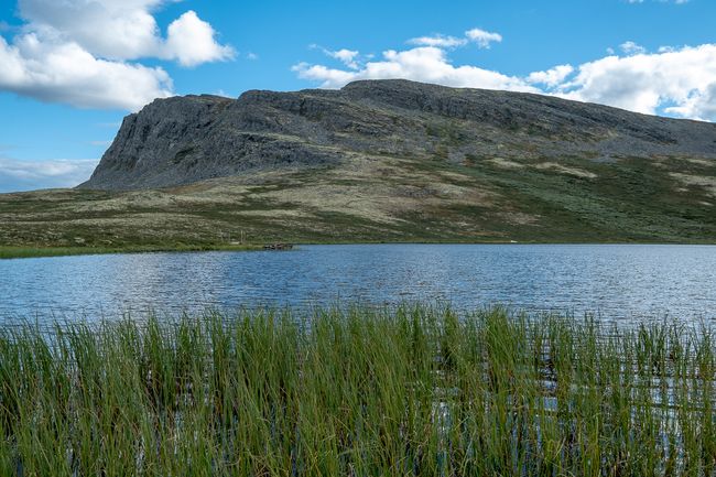
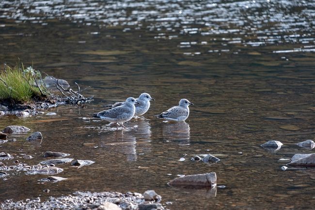
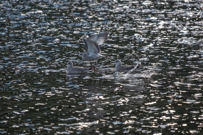
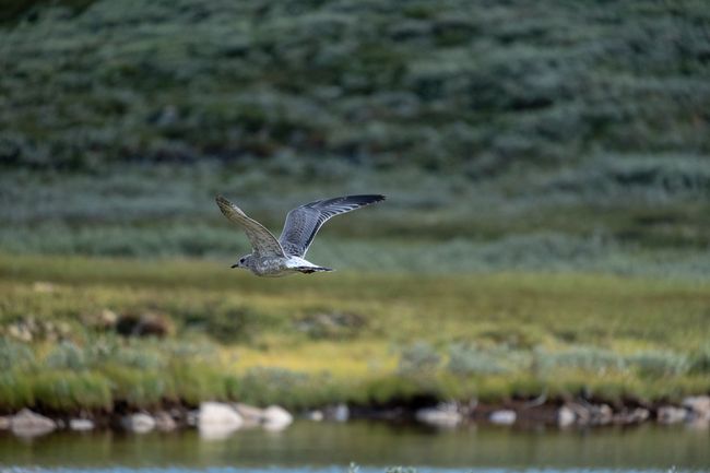
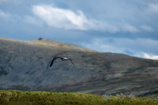
Back at Høvringsvatnet, I decide to end the tour with a little swim in the lake, which surprisingly isn't that cold. The sun slowly sets behind the peak located by the lake. A small group of seagulls circles above the lake. Life is beautiful.
Naročite se na glasilo
Odgovori (3)
Bernhard
ja!!!Anna
Tolle Fotos! Wünsche euch ne gute zeit!!😊Dominik
Danke, euch auch eine gute Zeit, mit weniger Regen als hier ;)