Rakiura Track (modified)
प्रकाशित: 05.02.2020
समाचारपत्रस्य सदस्यतां गृहाण
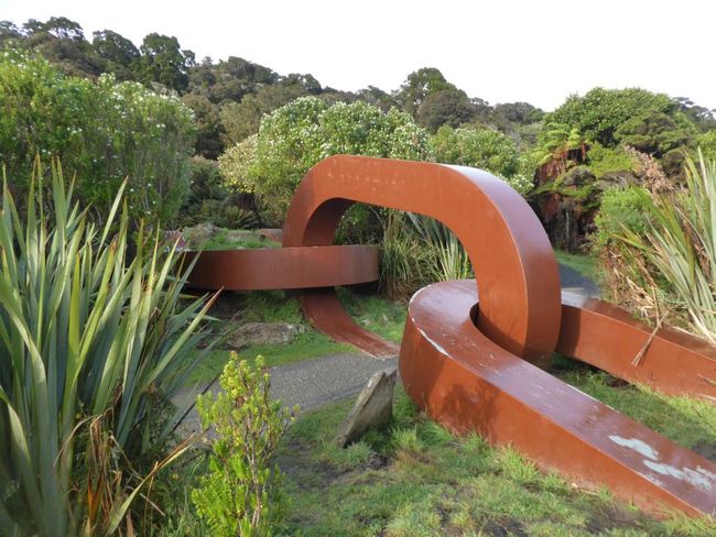
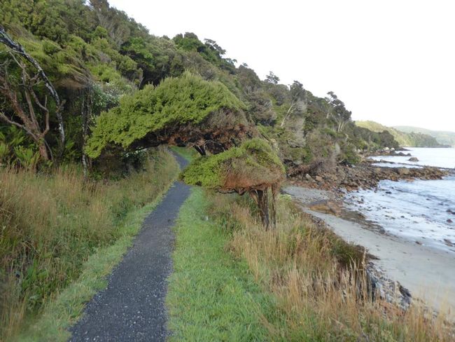
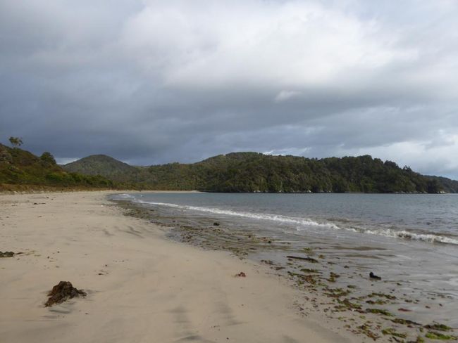
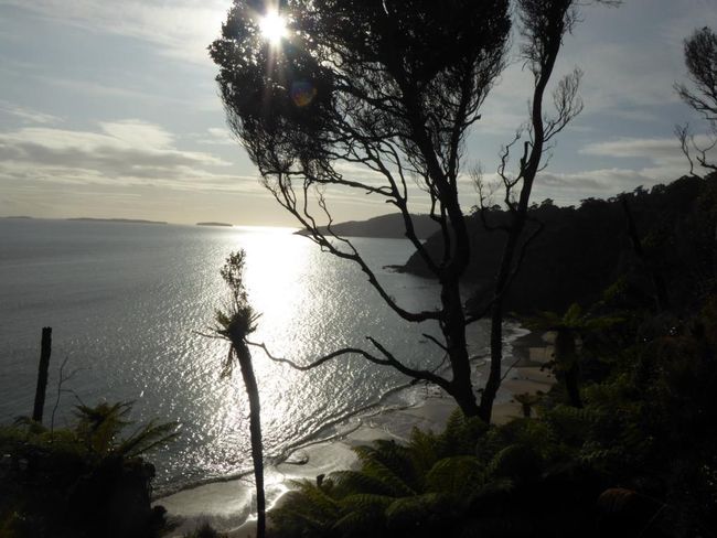
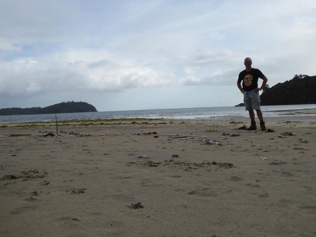
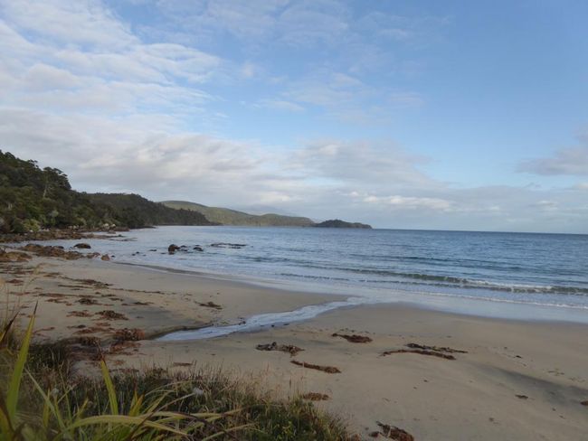
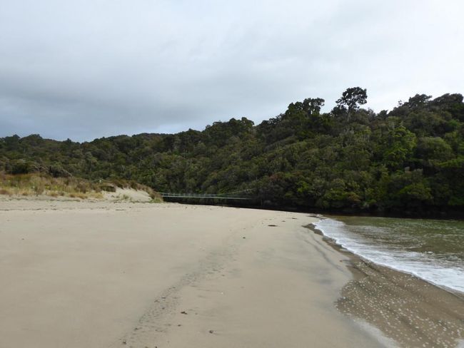
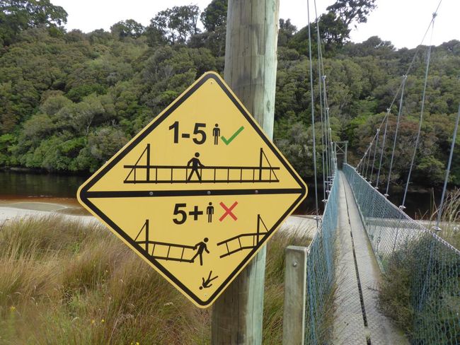
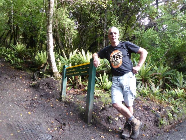
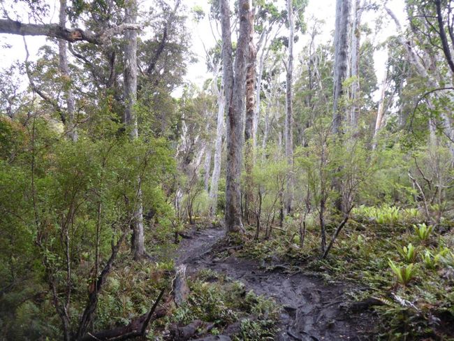
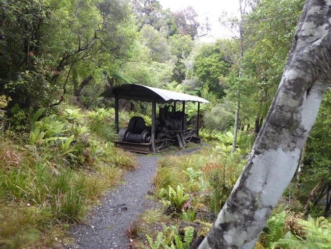
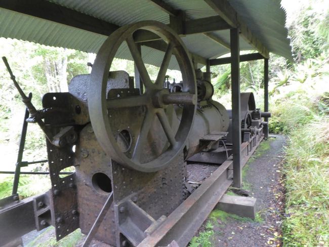
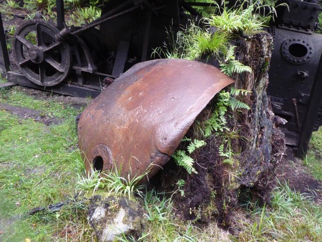
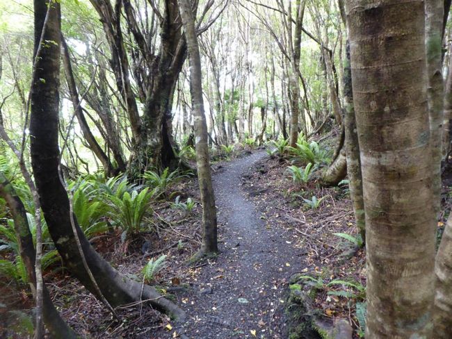
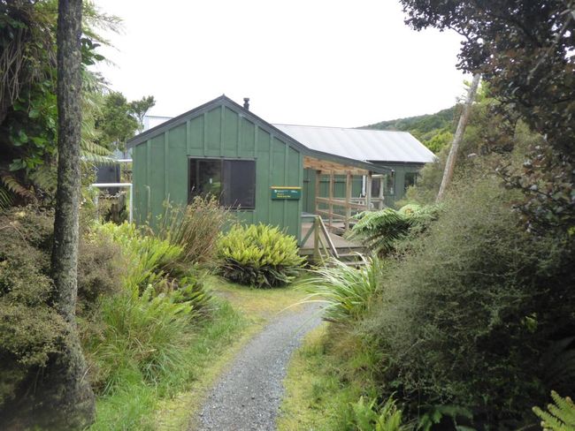
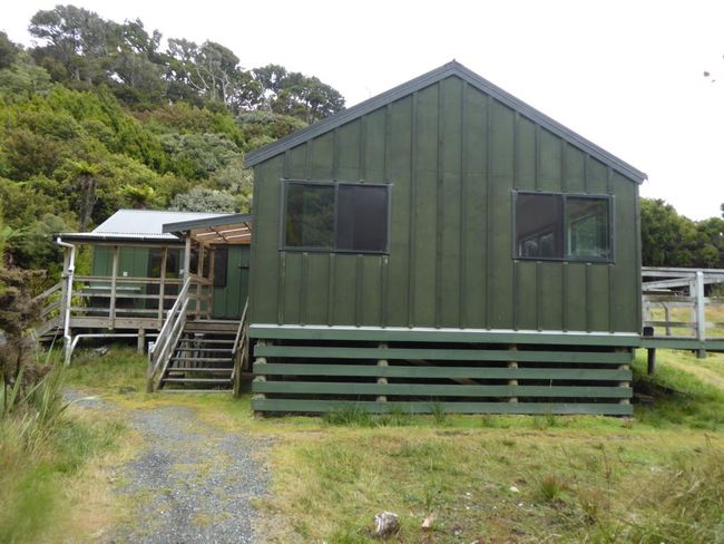
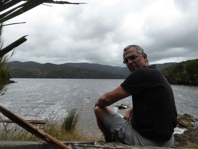
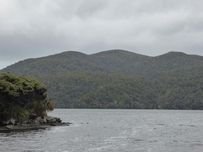
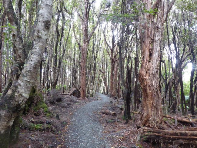
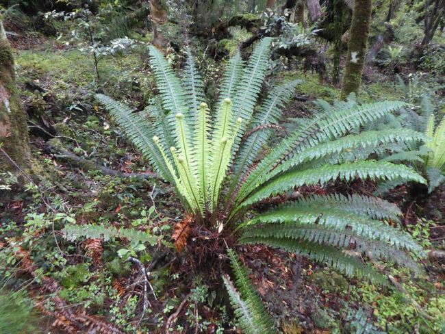
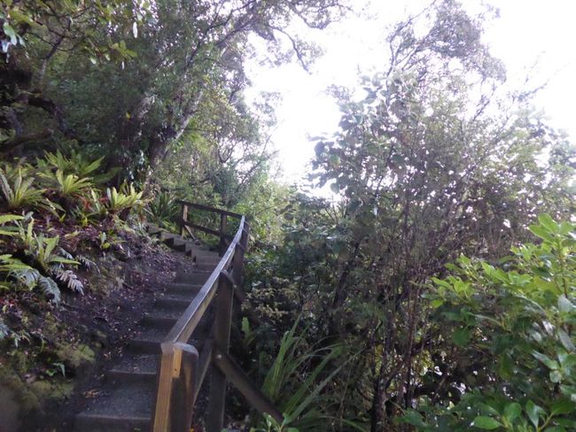
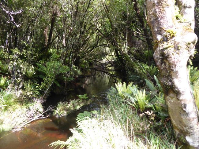
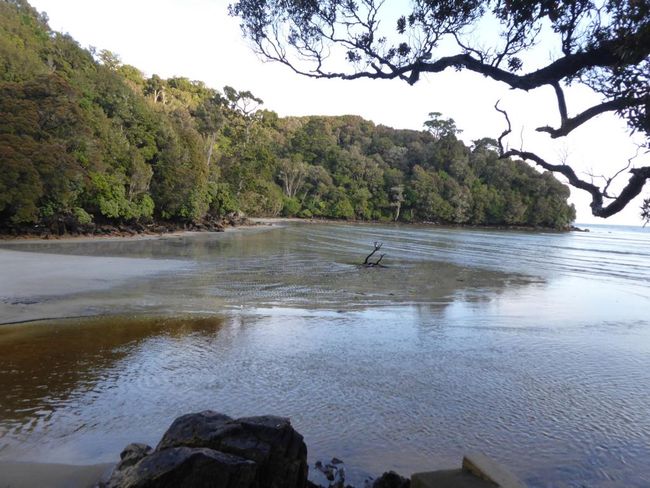
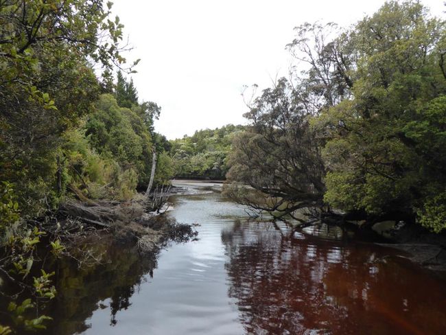
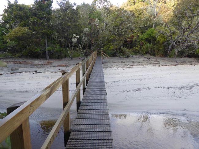
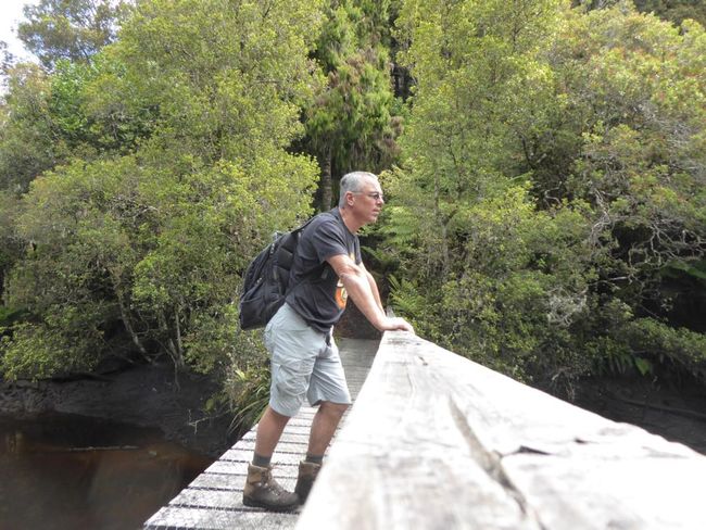
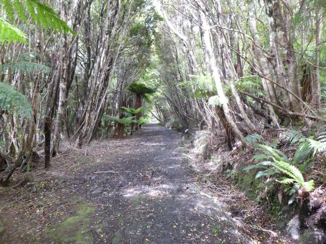
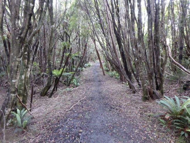
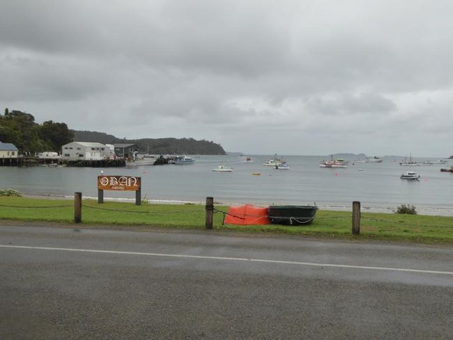
Yesterday I consulted extensively with Wolfgang, my senior track operations manager, to see if I could manage the estimated 28 km ('25 km is always doable...And you can add another 3 to that too...'). And today, at 8:00 sharp, I'm in Aaron's car, who kindly takes me to the parking lot at the starting point of the track, saving me an hour of walking on the roads. I start the recording mode in the specially installed hiking app before I begin the trail under a perfect blue sky after the anchor chain passage (referring to the Maori legend of the island's formation). The path resembles a single trail in the Siebengebirge, but with a little gravel. Sometimes you can also walk directly along the beach, but mostly the trail leads up and through the forest. I hear many bird sounds, and I also see some, but much less than expected. However, once a deer briefly crosses my path, but it's gone before I can even grab the camera. Otherwise, ferns, yews, and conifers dominate the landscape, all stems are wet, and everywhere is mossy. After 1.5 hours, I reach the junction to the North Arm Hut, and I skip the detour of 4 km to the first hut (Port William Hut) and back. Then I pass 2 rusty machines... They are steam-powered winches from the last century. Intensive logging was carried out here until 1930, and the winches were simply left here later. When I look at the skid with which the logs were dragged to the trail, it must have looked pretty devastating here afterwards. On this path crossing the island, I have to climb a ridge about 250 meters high. The trail is noticeably muddier (it's raining again), and in some places, I hop from root to root to avoid sinking too deep. After 3.5 hours, I reach the hut, but it's too windy for a break, so I continue on the last section back towards the bay. Now I also encounter a few other hikers, a young woman of maybe 25 will later overtake me while JOGGING (in that moment, I feel old). This rather monotonous hiking gives me the opportunity to mentally review the events of the past years. In the end, the trail becomes a proper road, which used to be a supply road to a sawmill before the paved section down to the bay. After 30 km, 1800 meters of altitude, and almost 9 hours, I'm back at the backpacker hotel, and after a shower, I fall into bed before I make something to eat in the communal kitchen. Tomorrow morning, the ferry will take me back to the mainland. Let's see what comes next...
समाचारपत्रस्य सदस्यतां गृहाण
उत्तरम्
