On the way to Wildspitz
Опубликовано: 20.04.2018


Подписаться на новостную рассылку
Wildspitz (https://wildspitz.roundshot.com/) is the highest mountain in the canton of Zug, standing at nearly 1500m above sea level.
You can start by taking the bus from Zug to Unter-Ägeri. After passing through the village and a few dairy farms, you'll continue along the Hüribach on a paved road towards the mountains.
The time indications on the signposts often lead us astray - sometimes it's 2h50, then again 3h20 to get to Wildspitz. It seems like all paths somehow lead to Wildspitz.
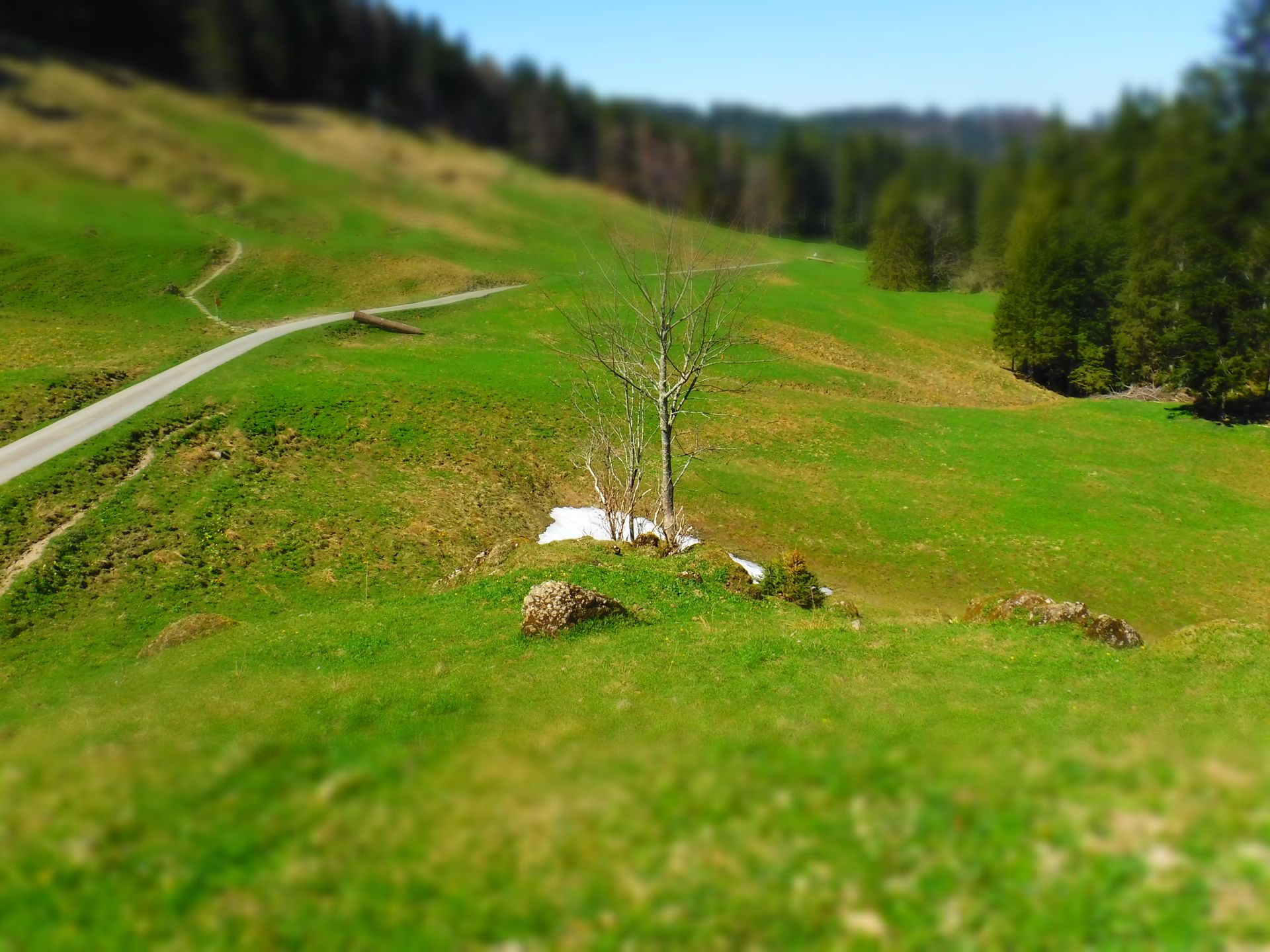
The path to the forest is very sunny, paved, and unspectacular. For adventurous hikers, it is recommended to cover the first part of the path by car or bike.
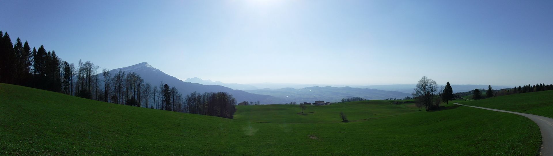
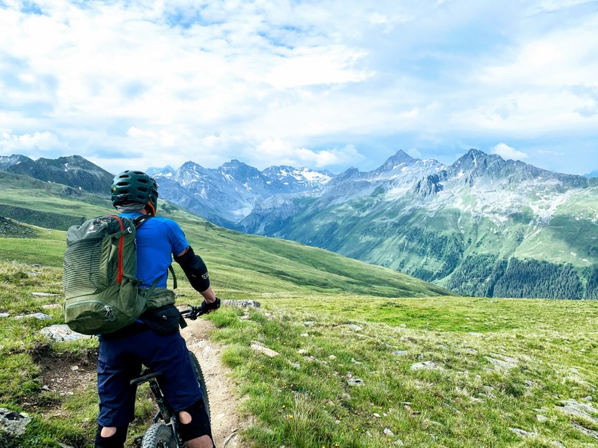
Once the first ascent begins, you'll be welcomed by beautiful buttercup meadows.
Through the forest, there are some steep flights of stairs leading up. After yesterday's training on the Zugerberg (https://vakantio.de/computerlyrik/zugerberg-der-hugel), this is a piece of cake!
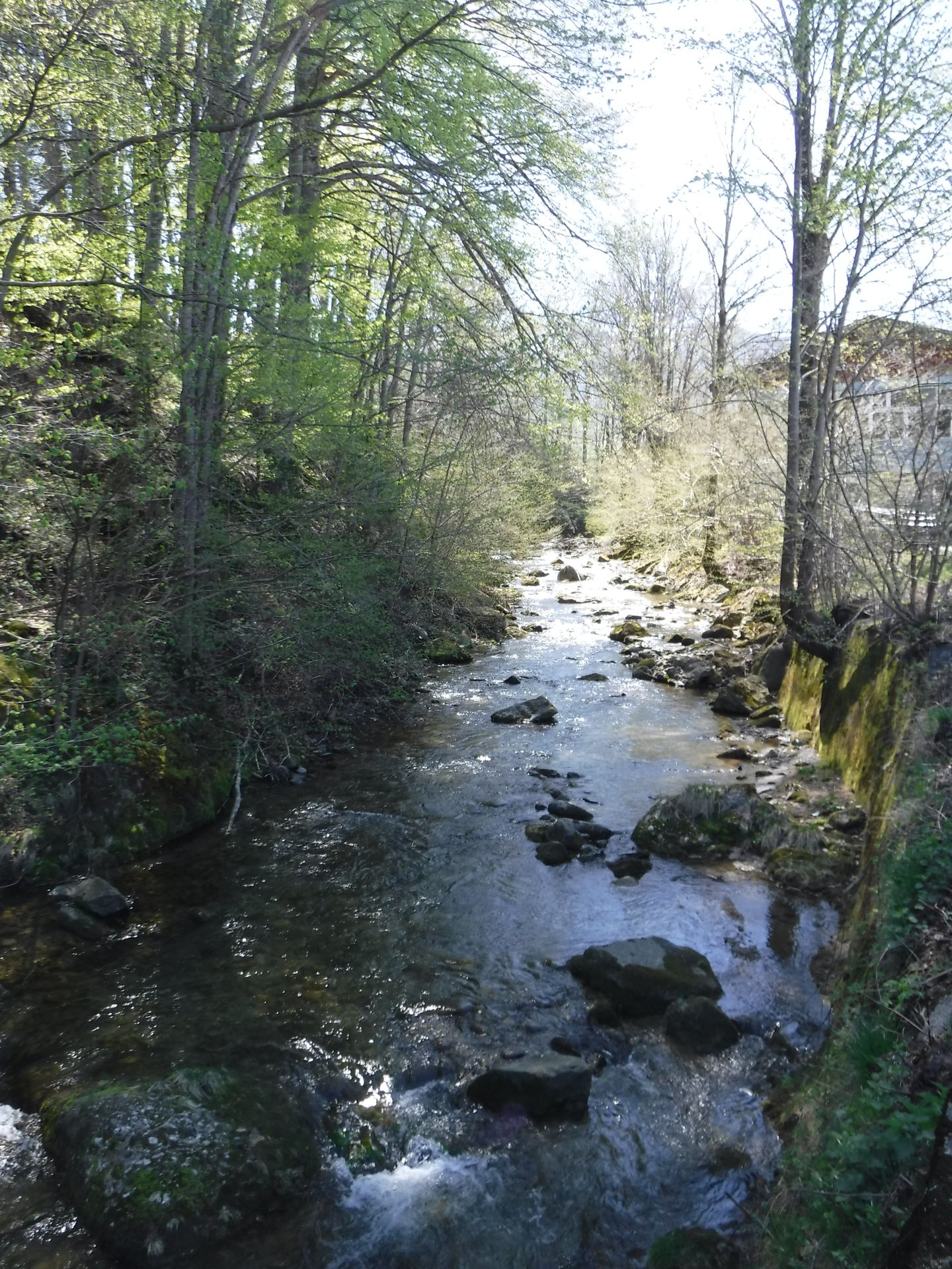
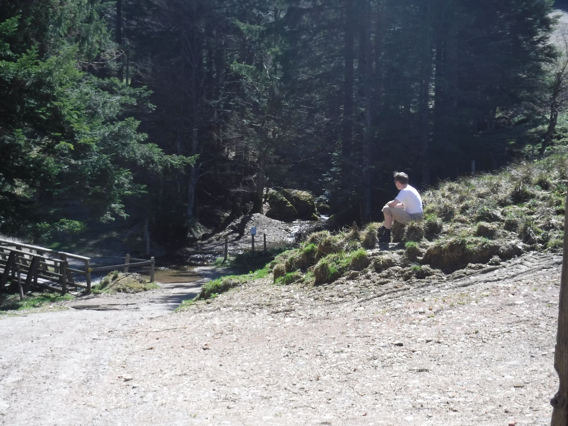
Just before Zuger-Alpli, you'll come across the Alpli stream and a short break is recommended. Behind the trees, the Alplibach rushes down the mountain in several small waterfalls.
Unfortunately, Zuger-Alpli was closed - like many restaurants in mid-April.
Generally, the route is only open from May - we will find out why later. Nevertheless, it is worth venturing up in this wonderful weather.
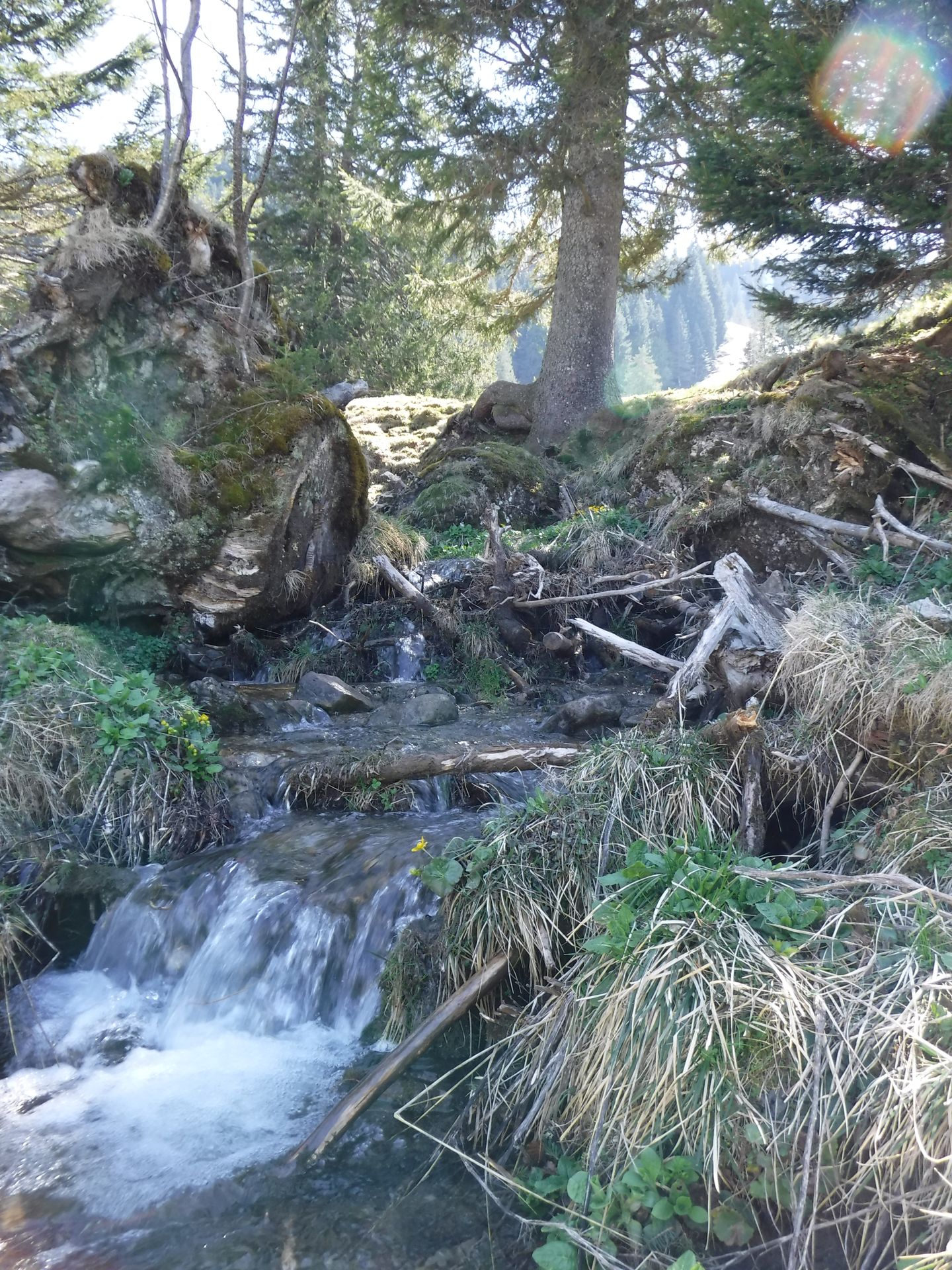
Through steep stair serpentine paths along the waterfalls of the Alpli stream, you reach the highest alp on the route: the 'Ober-Alpli'.
Here, there is a barbecue area where you can enjoy yourself - provided you have the necessary grilling utensils. Additionally, you can admire the fairytale origin of the Alplibach.
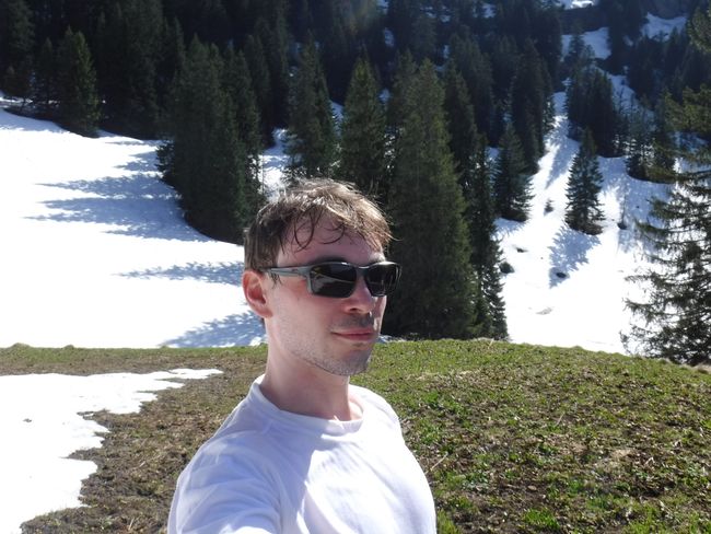
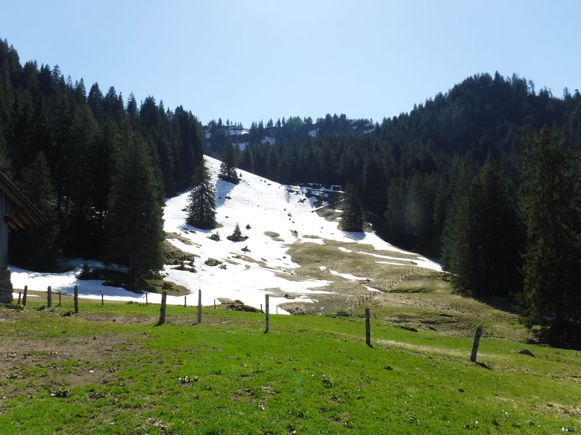
A glance upwards reveals: Even in mid-April, there is still snow at summery temperatures!
The ascent continues and sometimes we sink knee-deep into the existing snow cover!
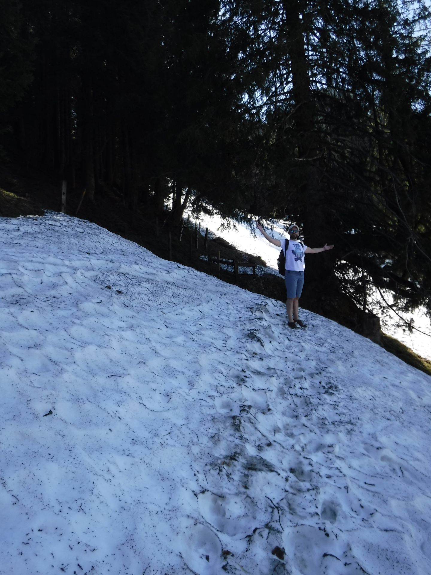
Halfway up, we are faced with a large snow field and the hiking trail is no longer visible. We decide to take the shortest route - steep uphill.
Suddenly, we find ourselves back in a flat, almost continuous snowy landscape.
Judging by the landscape, there must have been a glacier here in earlier times.
By now, we have lost any hiking trail. Neither the hiking map, nor Google Maps or OpenStreetMap can help us further.
We briefly attempt to ascend to the summit of Wildspitz through the forest. However, due to the advanced time - it is now after 5pm and after a 5-hour, 1000-meter ascent - we begin the descent.
A final look into the valley towards Ägeri.
It was a challenging adventure tour with great places and discoveries. According to Alex, this was even a more demanding tour than the over 300m higher Rigi (https://www.rigi.ch/).
Подписаться на новостную рассылку
Отвечать
Отчеты о поездках Швейцария