
July 3rd: The road trip can begin!
خپور شوی: 22.07.2020


Small note:
Since I experienced so much in a single day and was in different places, I will create an overview page with the date, followed by the "report" for the whole day, the pictures of the first experience, and the route map of the respective day (pay attention to the letters). The pictures of the other events of the day will come in the next entries, with the corresponding text section (so they will be repeated). It may be a little complicated, but when you later look at the map, all the places will be marked.
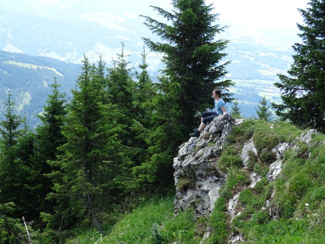
Goodbye, Dale (for now) (A)
After loading the last things into the car, I said goodbye to my coordinator Margrete. I already said goodbye to my roommates and Malvine, who was visiting, the night before.
Ausevik (B)
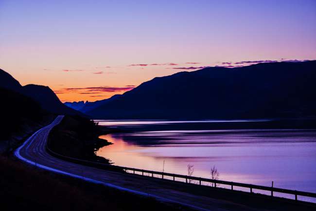
In heavy rain - typical Vestlandet weather - I started driving. After passing through Førde, I headed towards Florø, but not all the way. I turned off onto a narrow road that wound its way down valleys and up mountains in several switchbacks and crossed several beautiful bridges. The view of the Eikefjord was fantastic, even though it was slightly obscured by the low-hanging clouds.
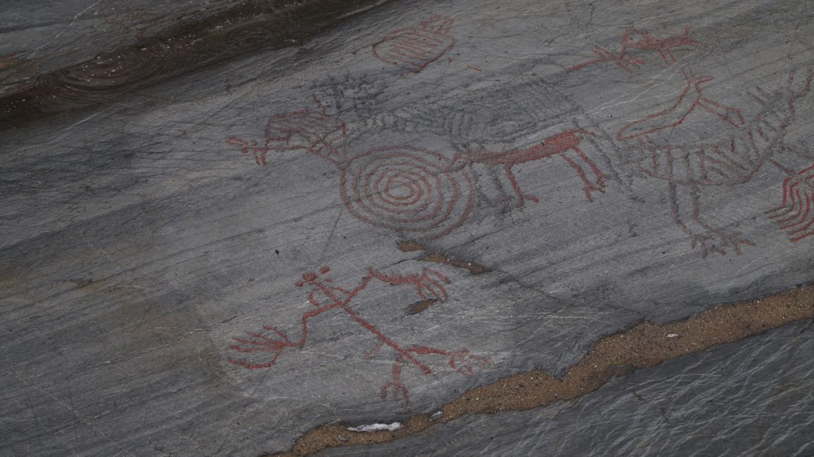
I arrived in Ausevik around 11 am, and there was a very well-kept toilet at the parking lot. Then I walked on a wooden path to the rock carvings, which I could now really see because they had been retraced in red paint - and the paint was not washed out, as was the case in Strongfjorden.
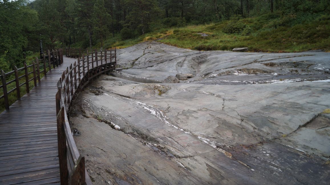
The path was relatively short, but all the pictures were explained. Due to the rain, I shortened my stay there and read the photographed signs in the car - while eating a cheese sandwich that I had spread with a fork.
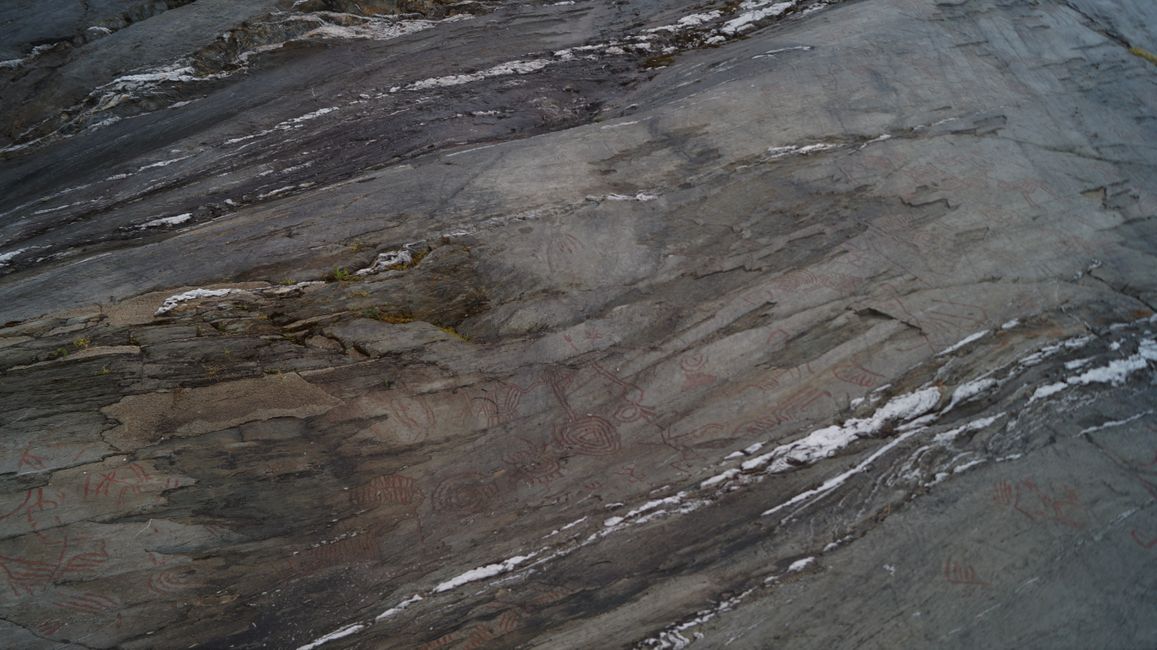
What I learned: The red deer was often depicted in Ausevik because people could identify with the way of life of these animals - they saw them as helpers both in times of need and in the imaginary world. Rock carvings were used at that time to connect with other powers.
Florø (C)
Afterwards, when I drove to Florø, the rain stopped and the sun was shining in the city itself. I drove to the airport first in search of a parking space, then found one in the city center, which is located on a peninsula.
I had imagined everything to be a bit bigger in the westernmost city in Norway, but the "downtown" consisted only of a street by the harbor lined with relatively old Swiss-style houses. I was done in five minutes, so I decided to climb the local hill. On the way, I encountered old facilities from World War II, and at the summit, I had a decent view of Florø. On the way down, I ended up at the airport, and since my parking ticket was about to expire, I had to hurry. But at the lake in the middle of the city, I just had to photograph the seagulls.
Gloføykje (D)
I was supposed to meet Gro at a parking lot where the road to Florø crossed the road to Svelgen. But the parking lot was full, and I was early, so I drove a little further and waited at a nicer parking lot with a view of a waterfall and a fjord arm. One after the other, we first drove to Svelgen, where we did some shopping at the local supermarket, and then we went to her parents' house.
The house is wonderful, right at the height of the cliff (Europe's highest!) of the mountain Hornelen, and from the living room window, there was a beautiful view of that mountain and the many boats on the fjord.
In the evening, I helped Gro mow the lawn and carry the boards we had brought into the sheds before the mosquitoes started swarming because the wind died down and eventually stopped. After mowing the lawn, we took a walk on the beach, and Gro told me that sometimes otters could be seen there.
ځواب
د سفر راپورونه ناروی