Alaska & Yukon im Herbst: 6000km mit Grizzlies, Goldgräbern und Polarlicht
vakantio.de/alaskaundyukonimherbst
Dempster Highway, Goldrush - and only 200km to the Arctic Circle
خپور شوی: 14.08.2019
خبر پاڼه کې ګډون وکړئ
09.09.2014 / Dawson
We were able to sleep through the night - unfortunately, there was no call about a visible Aurora. Maybe they just forgot to call us? After the previous two or three nights with little sleep because of the Northern Lights hunt, getting up at 8:00 am is still difficult, because it feels like it's only 7:00 am since we are in a different time zone. The hotel restaurant is big and empty when we go there for a quick breakfast at 8:45 am. Buffet for CAD 16 (11 EUR) or á la carte. I decide to only have a hot oatmeal for 6 CAD. We watch a group of Americans boarding their own tour bus from Holland America Lines. They are scanned with metal detectors. It must be a group that has been traveling together for days, always with this bus - what nonsense?! As if suddenly they would turn into terrorists. But this is surely a standard regulation for Americans.
The weather is cold and initially a bit cloudy. The few plants in the hotel courtyard are frozen with hoarfrost. But it clears up and we drive towards Dempster Highway at -3°C after scraping the car windows.
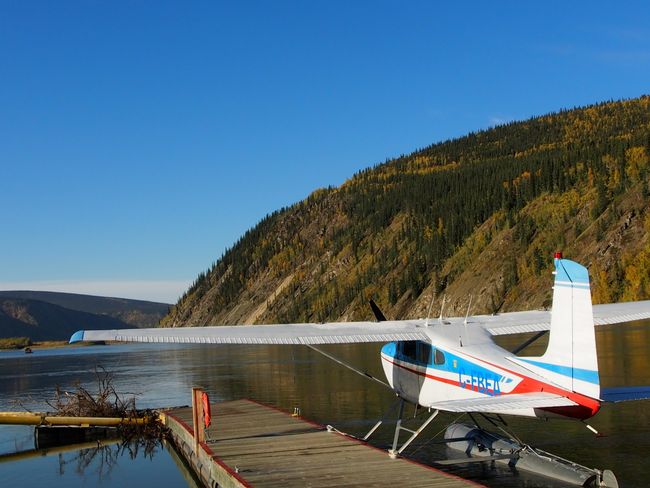
The view over the Yukon River today is really beautiful in the sunshine. So let's go.

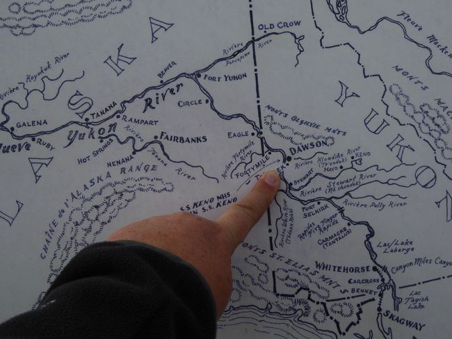
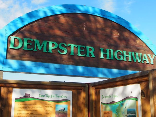
We want to drive on the Dempster Highway to Tombstone, where there is a Visitor Center. The landscape along the highway must be amazing because parts of it were never glaciated, so it has remained a truly primal landscape that was never covered by 200m of ice. The highway is about 700km long and ends in Inuvik, a good distance north of the Arctic Circle, in the Northwest Territories. We are now only 200km away from the Arctic Circle.
 The turnoff to the unpaved Dempster Highway (Highway 5) is about 40km from Dawson. It was opened only at the end of the 1970s and essentially follows a sled dog trail of the Inuit. In winter, the two (then frozen) rivers further north are crossed by car, until then a ferry shuttles back and forth. Only at the beginning of the freezing period and during the thaw, it is not possible to pass here and the Dempster Highway there is closed. But that is far away from where we want to go today. Our destination is only about 80km from the start of the Dempster Highway.
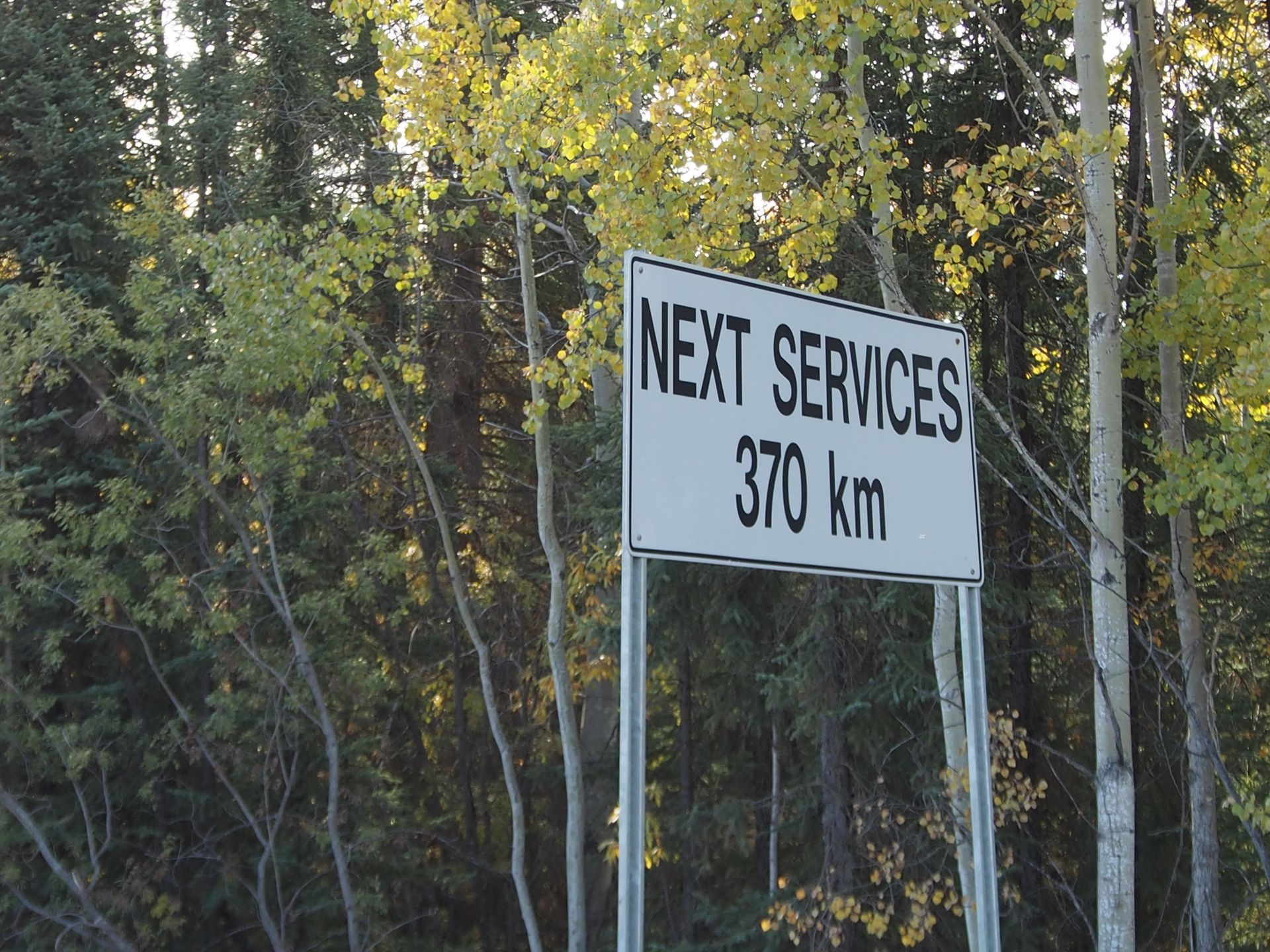
A sign tells us that the next gas station is 370km away. But we refueled in Dawson for 1.58 CAD per liter (approximately 1.12 EUR/Liter). That is quite expensive compared to prices in the US, so a gallon costs about 6 CAD, which is equivalent to about US$ 5.36.
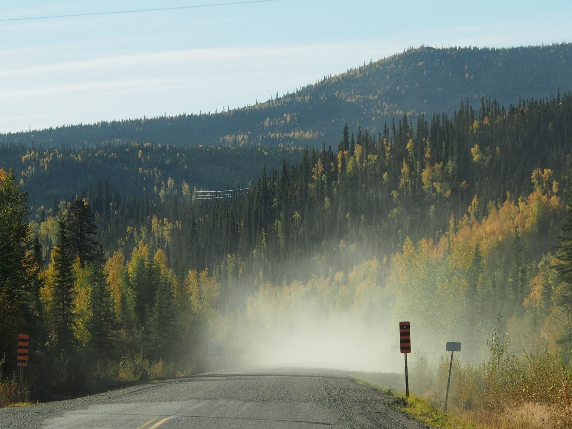
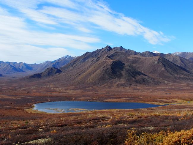
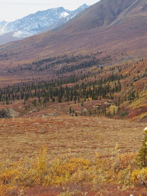
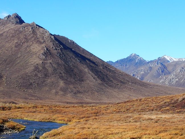
The road is in good condition. There are ruts and potholes, but it's still pretty good and better than the stretch between Chicken and Boundary yesterday. The landscape here resembles a true lunar landscape in some places. Blue, almost circular lakes lie next to the road at the foot of the rugged mountains on the left and right. The fall foliage is again fantastic. Black spruce, the thin spruces that always look almost stunted, stand among millions of yellow birches. The sky is blue and initially the Klondike River runs alongside us.
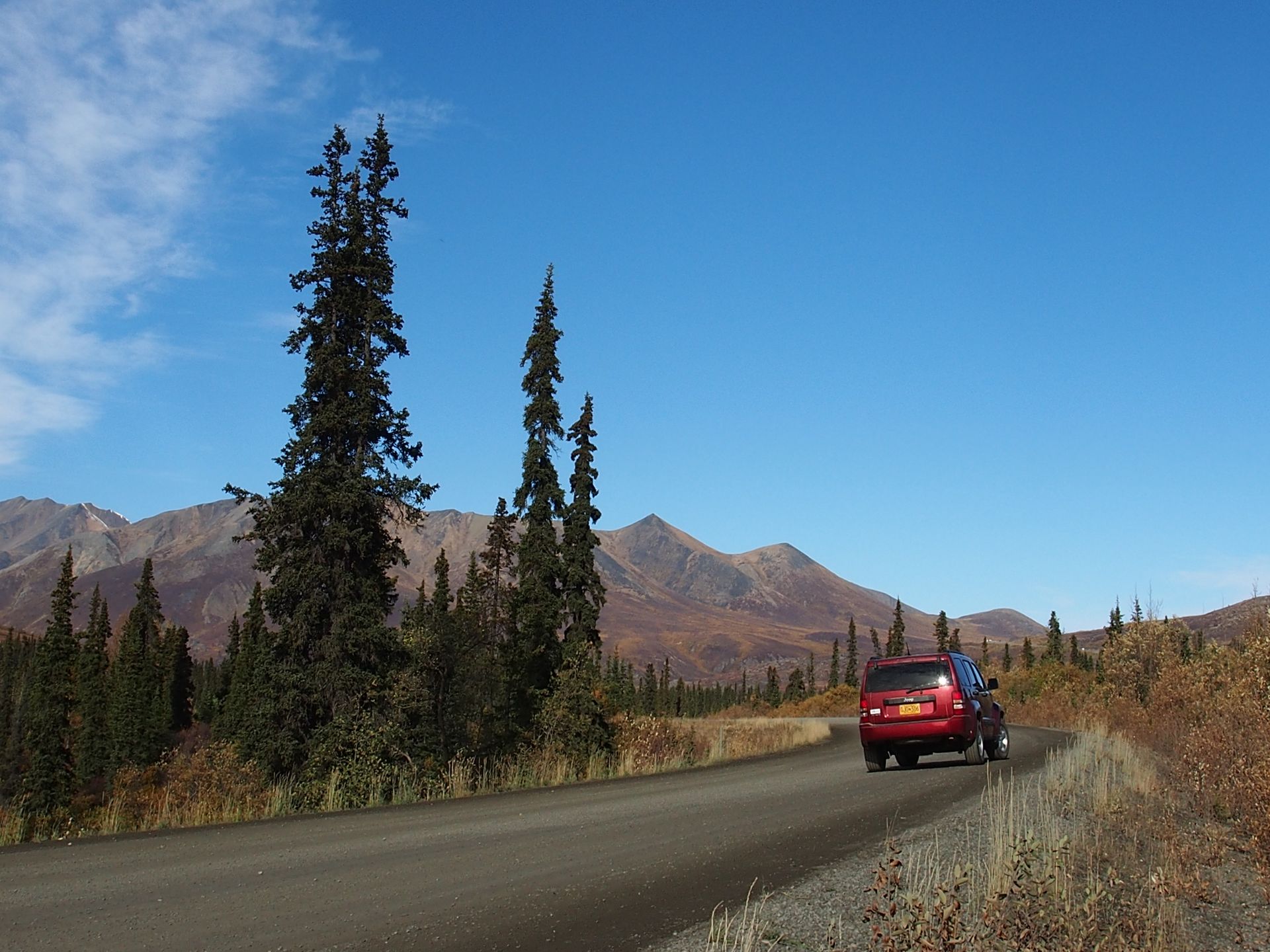
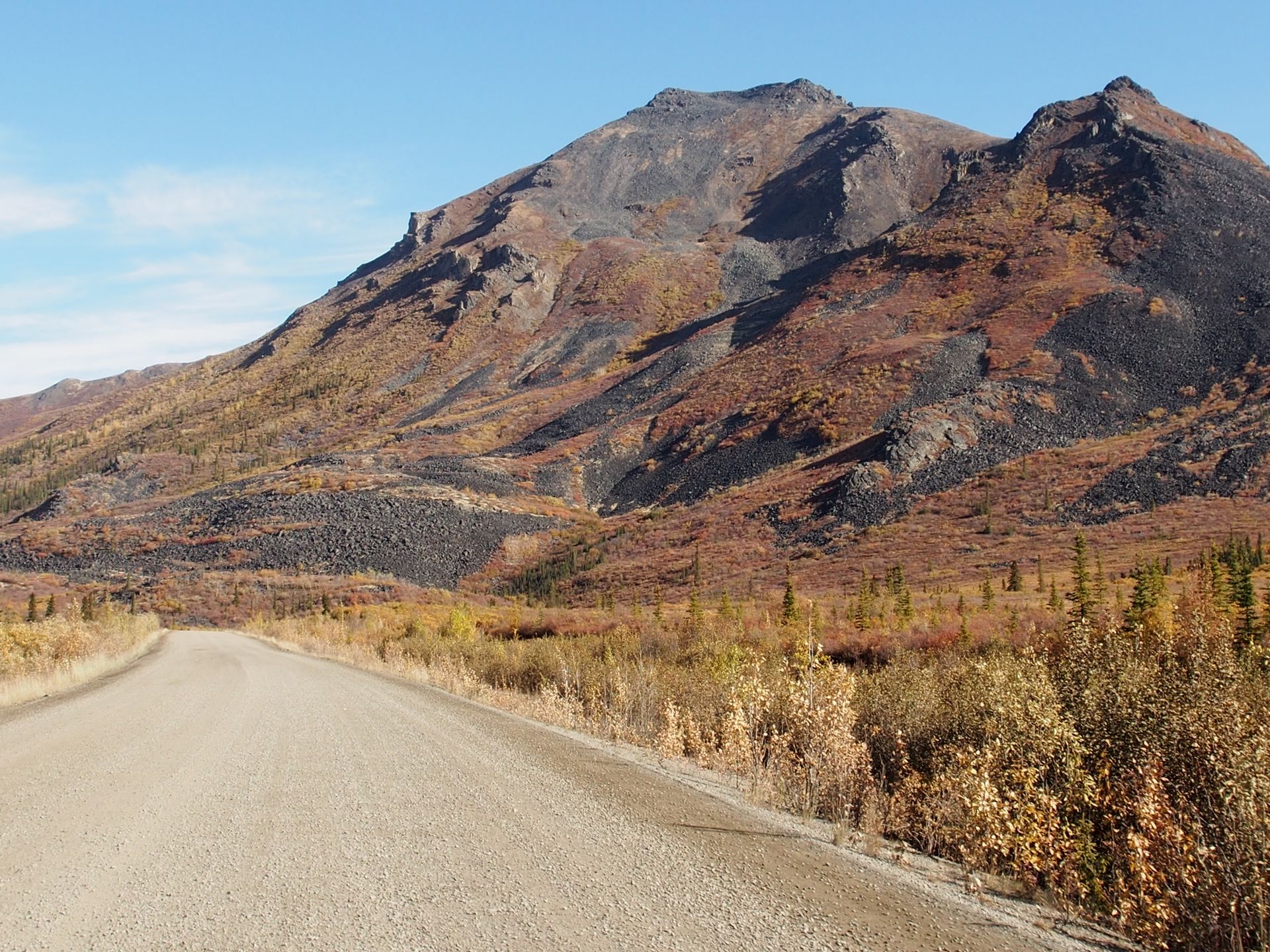
After 73 kilometers, we reach the Visitor Center in Tombstone and learn that even in this area, which is a "teritorrial park," hunting is allowed. Foreign hunters pay 20,000 to 30,000 Canadian dollars to shoot a moose. Locals only need a hunting license. However, foreign hunters need a guide and have to pay for the hunting rights. The meat of the shot animals is distributed to those in need. The hunter can keep the antlers as a trophy. As yesterday, there are also pickups parked in practically every parking bay here, some with refrigerated trailers or cargo beds. The latter are mostly used for transporting ATVs, which allow the hunters to go deeper into the forests without having to walk for hours. The Visitor Center is lovingly done and will soon close as well.

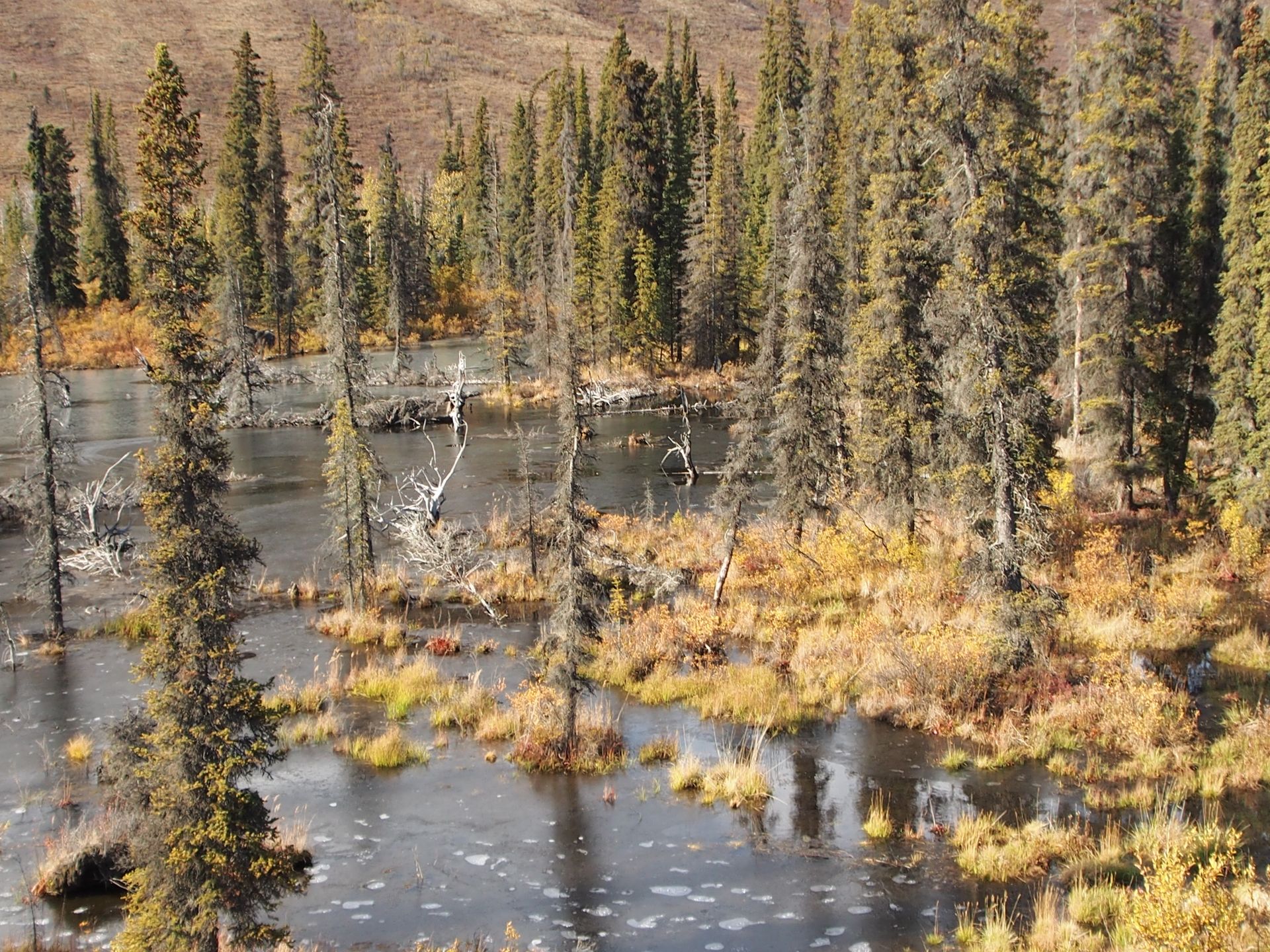
We drive another 4km and have a nice view of Tombstone Mountain, which is about 35km away and has a striking jagged shape. Another 6km pass without sighting any Dall sheep or caribou, although there is said to be a smaller herd of them living here. A huge herd of 150,000 caribou lives somewhere north along the highway. Probably also because of the hunters, they have withdrawn significantly from this road. The landscape here is called Arctic Tundra, with low bushes and isolated spruces. We are practically driving through a huge wide valley the entire time. A beaver dam in a pond covered with slight ice is next to the road.
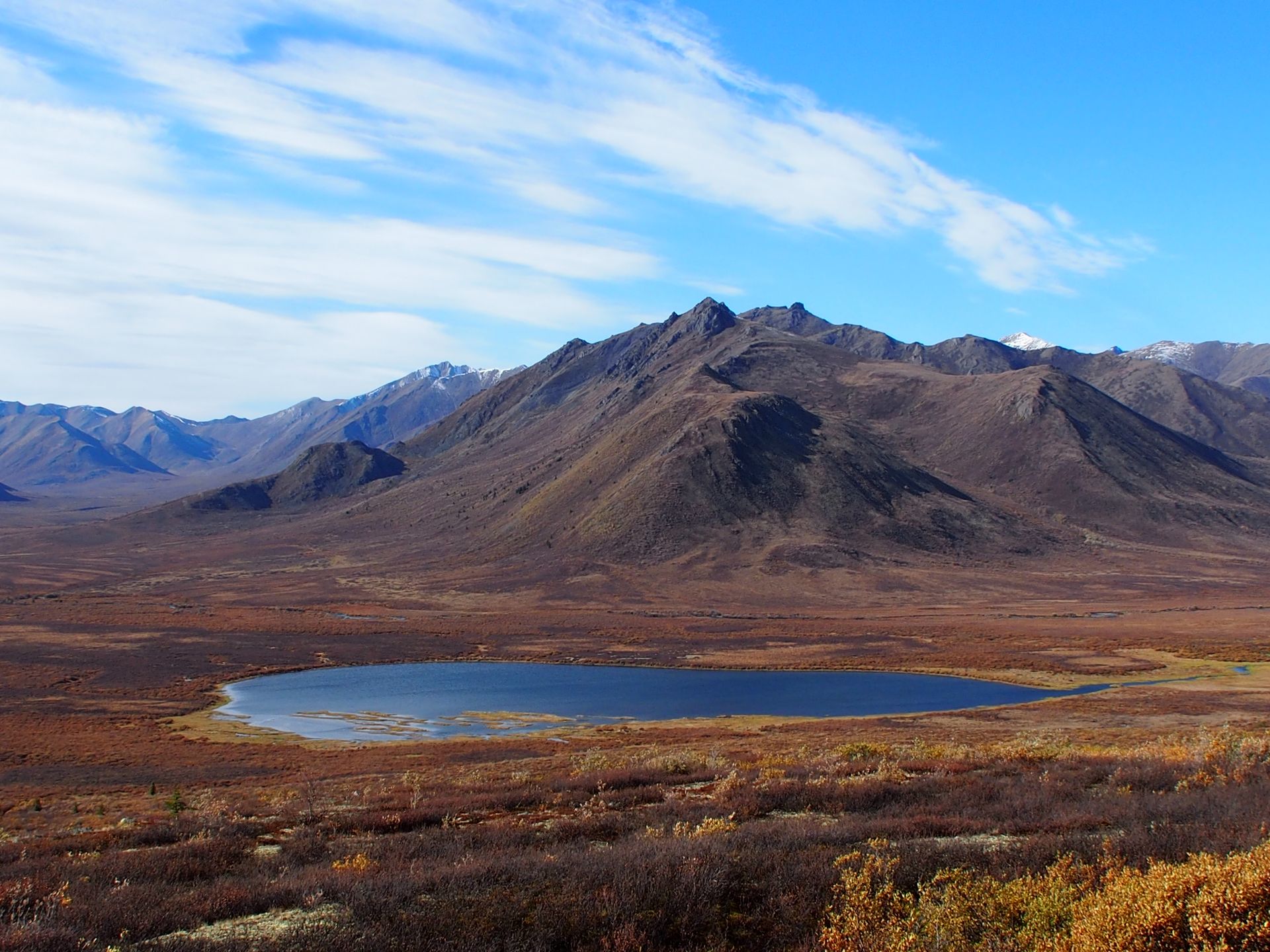
The road ahead seems to be a bit rougher behind the Visitor Center. Well, we wanted to turn around here anyway.
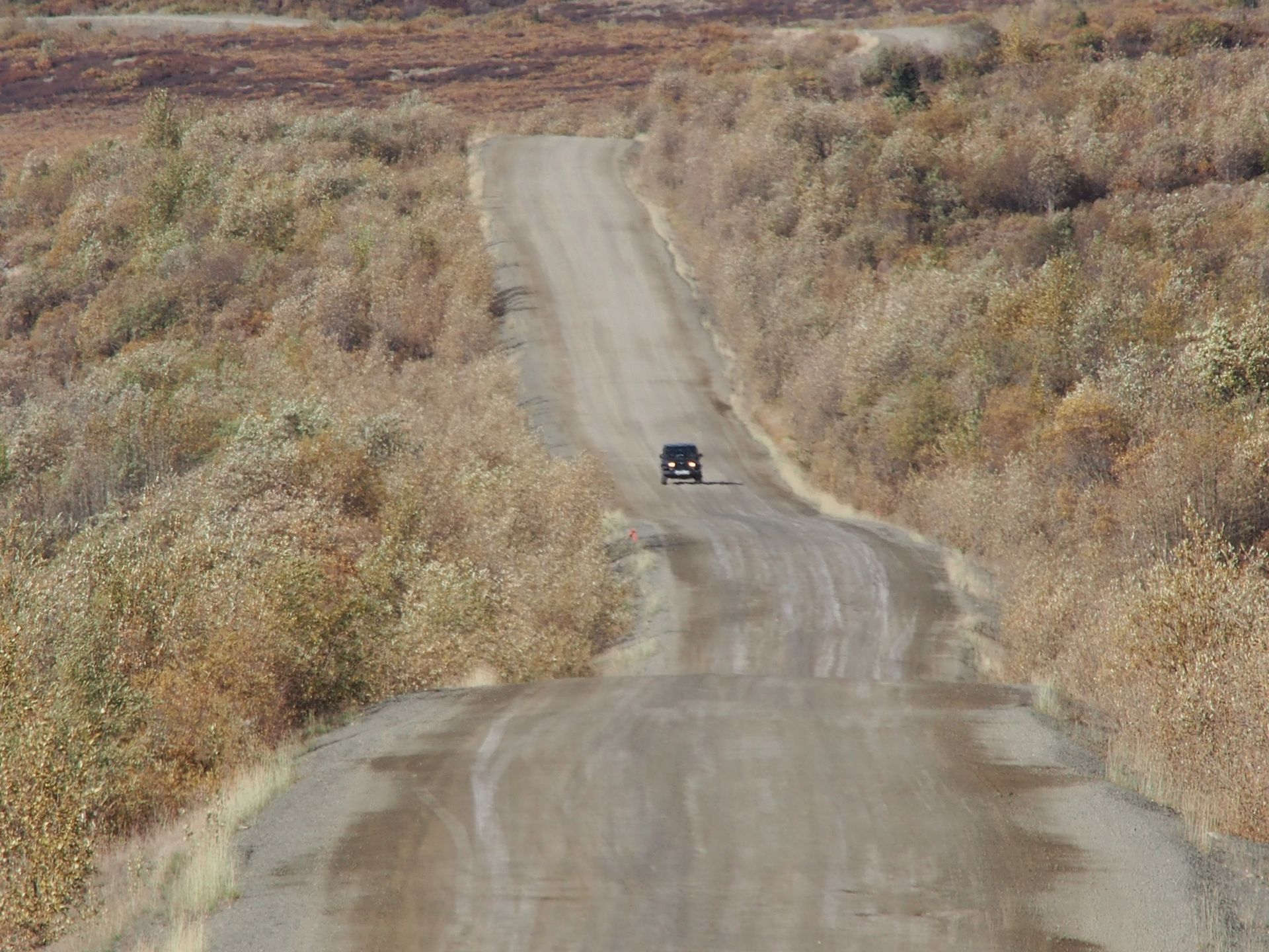
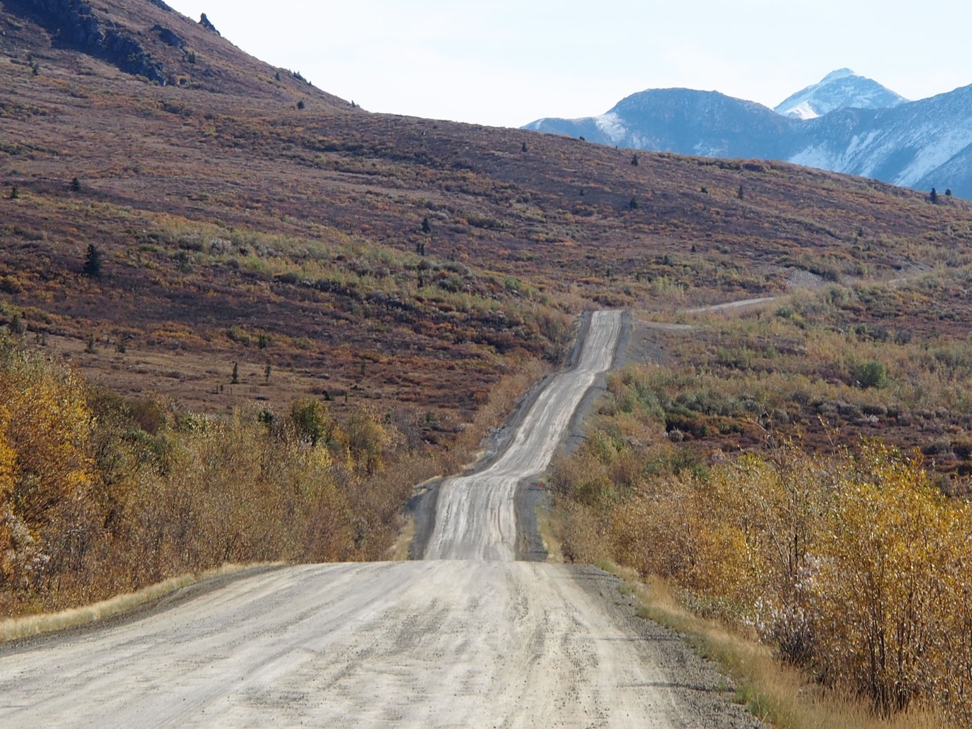
Dempster Highway
We drive back towards Dawson and turn off before the town to Bonanza Creek. It used to be called Rabbit Creek and this is the place where three figures found the first nugget in the Klondike River in 1896, triggering the so-called Klondike Gold Rush.
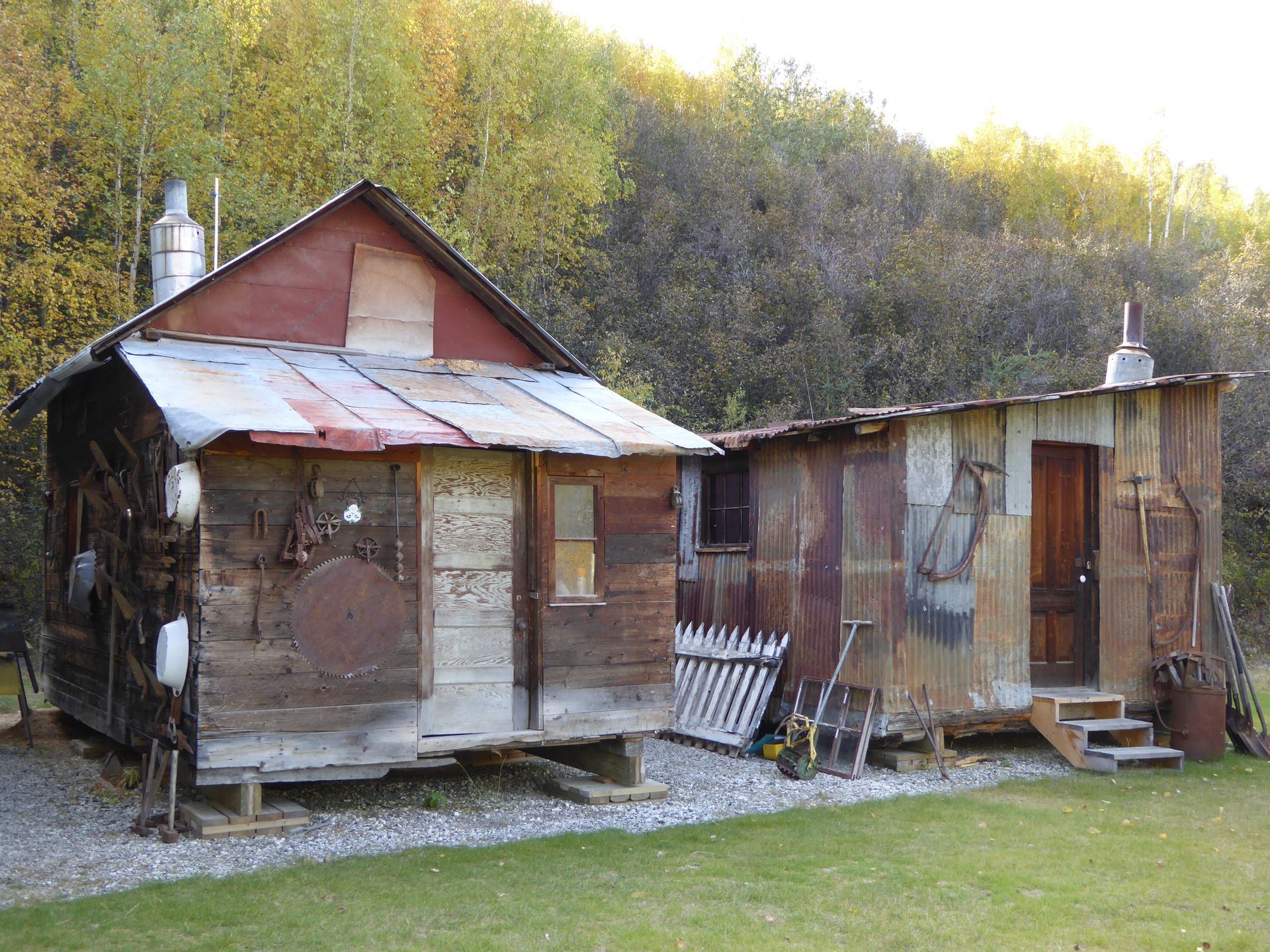
Bonanza Creek
In the first 3 years, gold worth 29 million Canadian dollars was mined here, which is many times that amount in today's value. Dawson experienced a boom in residents back then and at times there were 30,000 people living here.
Today, Dawson City is still the second-largest city in the Yukon with over 1,300 residents. The majority of the 75,000 residents of the Yukon (around 27,000 people) live in Whitehorse. The Yukon has about 35% more area than the entire Federal Republic of Germany, where over 80 million people live.
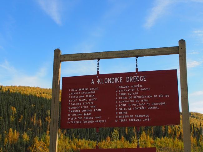
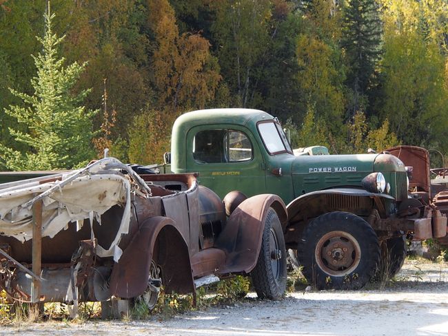
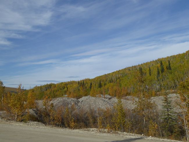
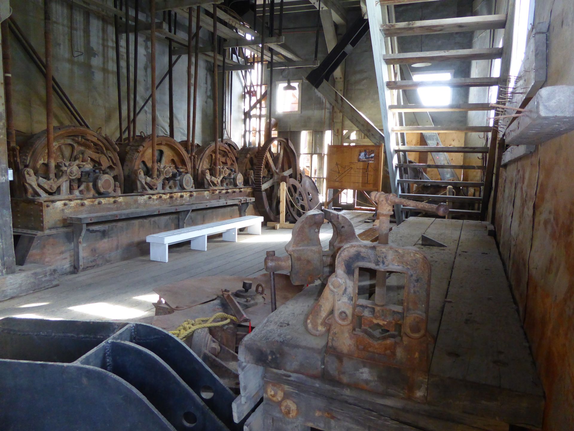
At Bonanza Creek and also on the other side of the Klondike Highway, there are still many gold mines in operation and mining has been going on here for over 100 years. In the past, so-called "dredges" - floating excavators - were used for this. Gold mining machines that moved forward in a snail-like manner and used huge shovels to extract stones and separate them from the gold. One of the largest dredges is Dredge No. 4, which is now on display as a historical monument at the end of its mining site (unfortunately not for us, we are too late). In good times, this thing produced 23 kilograms of gold per week. But of course, it also dug up huge amounts of useless rock, which lies like endless sausages along all paths in this area. Many dredges have been in operation here.
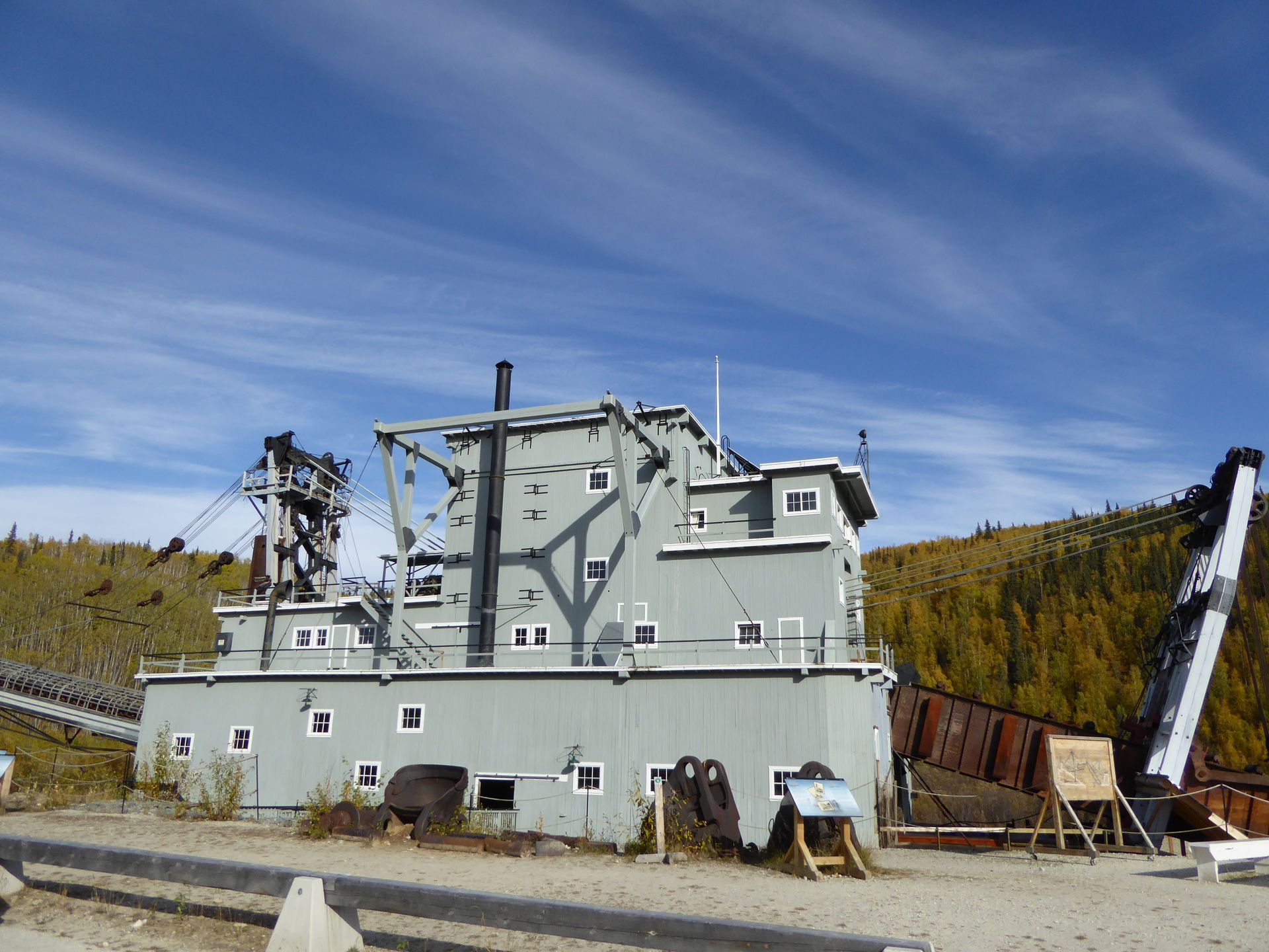
Dredge No. 4
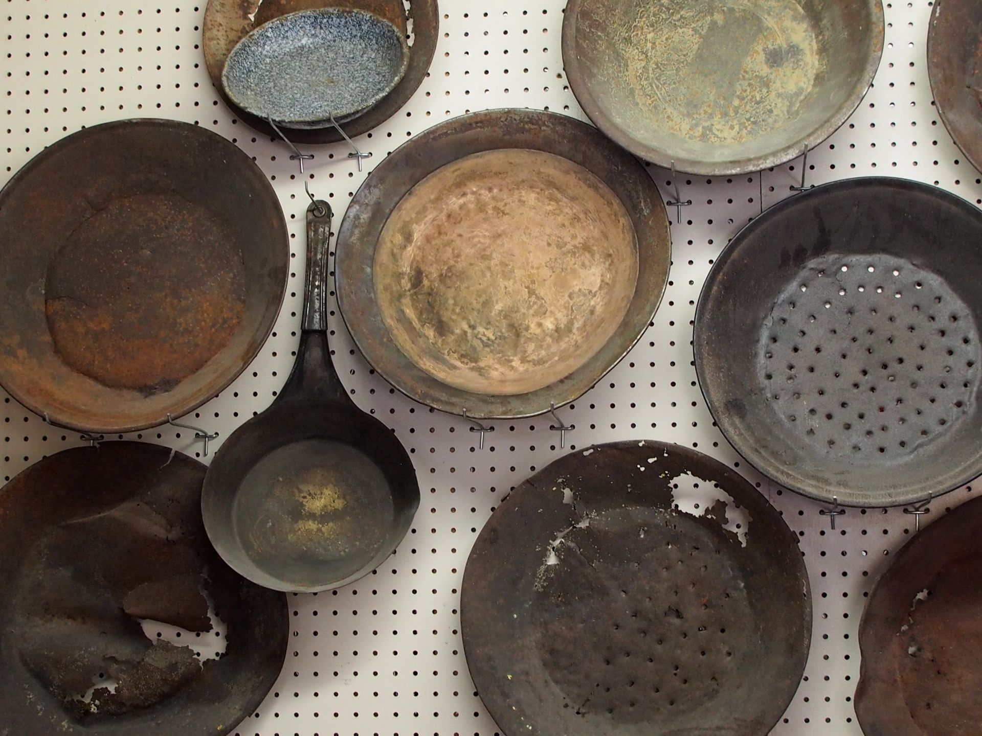
Claim 33 is located on the way back to the road. The lady who operates something like a souvenir shop among original goldminer huts shows us nuggets and explains that the found gold is never pure. You can only obtain that when you melt the gold and remove the unwanted components. So the nuggets she sells there look rather dull, but they are all found here.
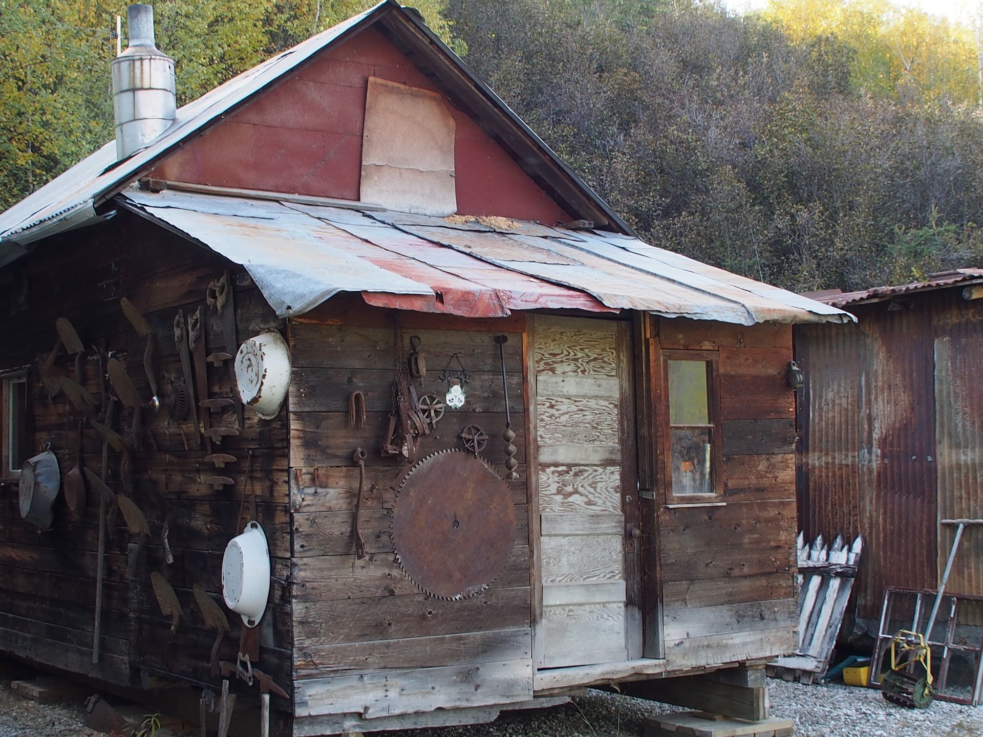
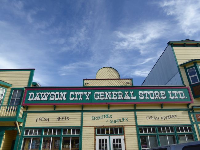
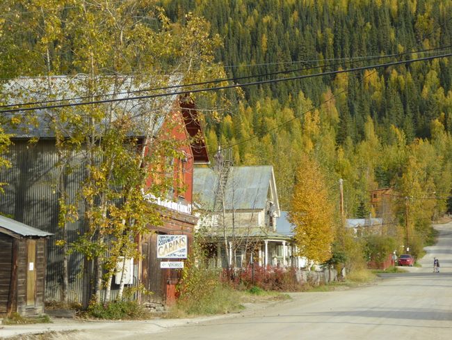
Back in Dawson, we visit the general store, buy some food, and see more crooked houses in the streets. The reason is the permafrost ground, which thaws every summer. The wooden houses have no stable foundation and therefore sink in on themselves over the years/decades. It looks a bit like a film set.
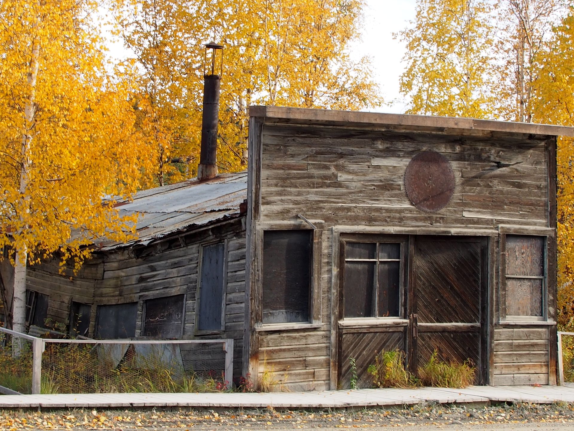
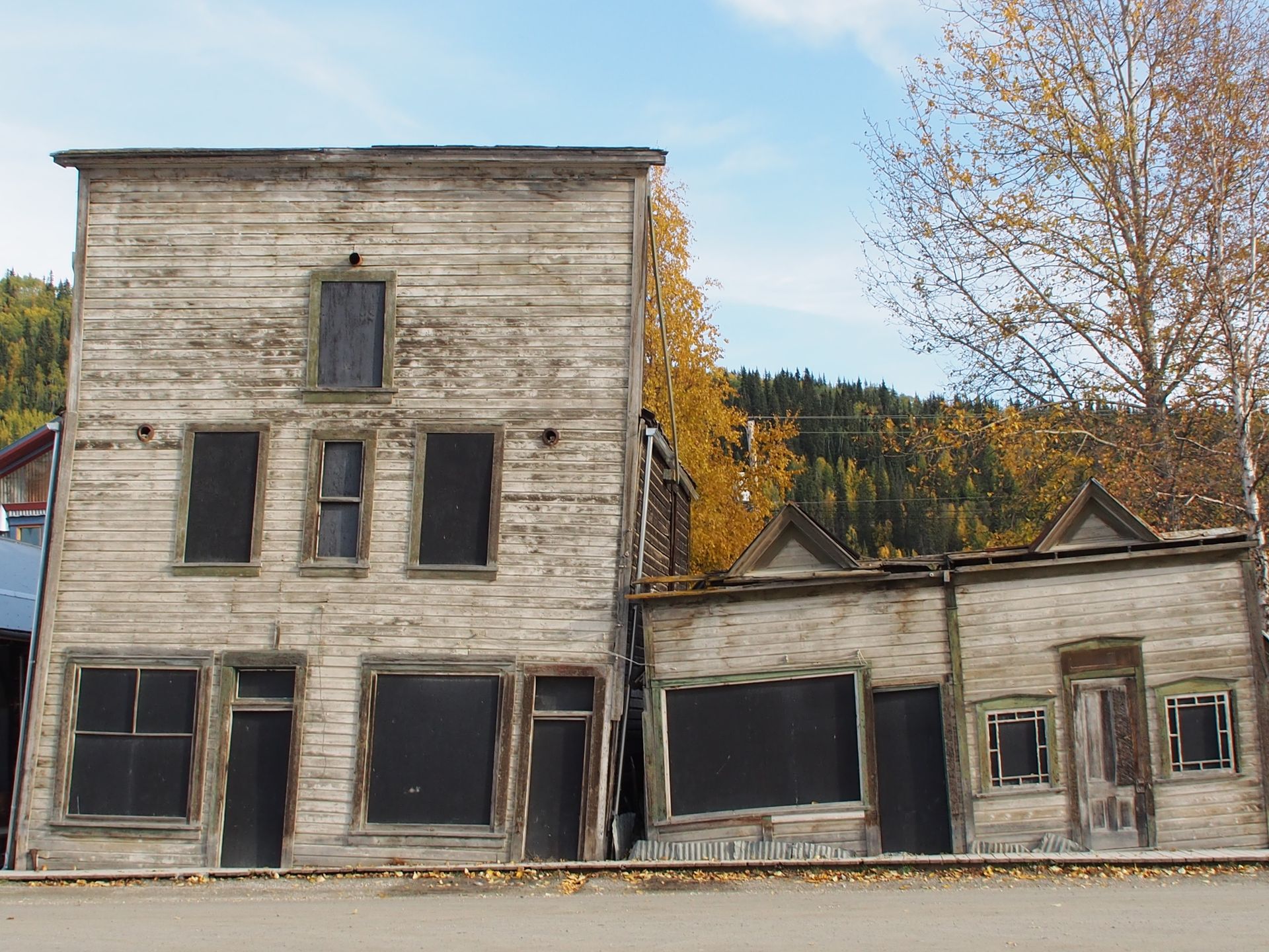
We then briefly eat something in an unheated restaurant. As long as the setting sun shines in, it's fine, but when it sets behind the hills opposite, it's better to sit there with a jacket. It's also end of season and they probably don't want to have heating costs anymore...
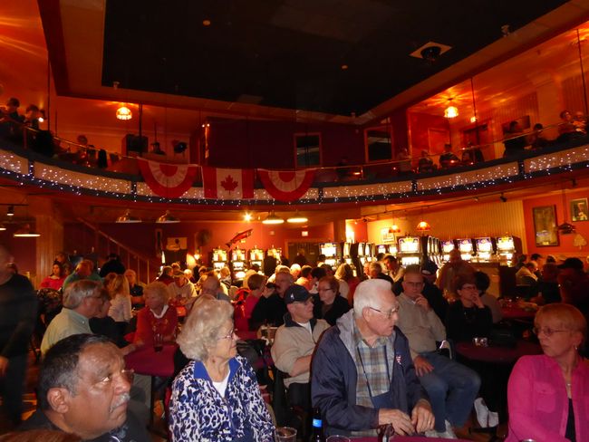
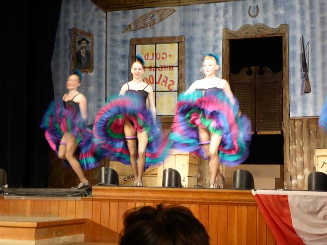
After a short stop at the hotel, we walk to Diamond Tooth Gerties, a real institution in Dawson. Show hall, pub, diner, and casino all in one. There are three shows per evening. Admission costs $10, but this morning at breakfast, a waiter gave us two complimentary tickets. We also attend the second show, which starts an hour after the first. It's a bit different from the first one. Blackjack tables are being played behind us, and drinks are being consumed at a long bar next to us. Shortly before 11:00 pm, we leave for the hotel, bundle up warmly, and drive to the local mountain "The Dome". It's just under 900 meters high and we hope to see the Northern Lights up here tonight. The path is pitch-black and on top of the summit, an incredible wind is blowing, causing the car to shake. We don't see the Northern Lights. I fiddle around with my camera to get a good nighttime shot of Dawson, which I succeed in. We have a good view of the city lights and the Yukon River.
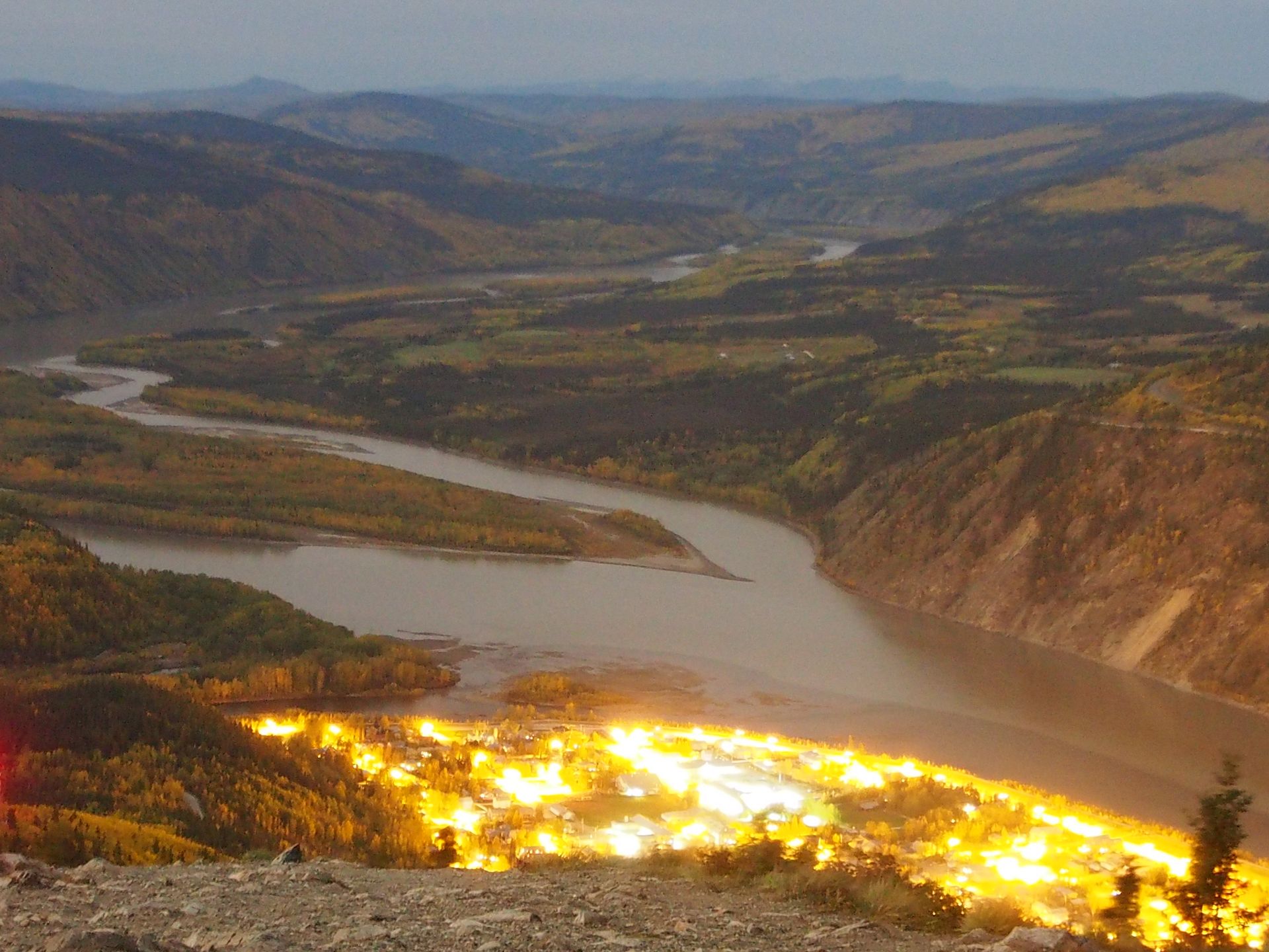
Dawson and the Yukon River at night
We arrive at the hotel shortly before 1 o'clock. My cough, which I have had since Homer, continues to bother me and annoy. So I take a cough suppressant again and hope that I don't annoy G. all night.
Total distance: approximately 300km
خبر پاڼه کې ګډون وکړئ
ځواب
د سفر راپورونه کاناډا
