Easter holidays in Bergen and at the Sognefjord
ਪ੍ਰਕਾਸ਼ਿਤ: 23.05.2021

ਨਿਊਜ਼ਲੈਟਰ ਦੀ ਗਾਹਕੀ ਲਓ
500 km to the northwest and sightseeing in Bergen in the rain
The Easter holidays are coming up! Maike and I have a week off, so we want to take this opportunity to get to know Bergen and go hiking at the impressive Sognefjord (Norway's longest and deepest fjord).
So on Monday morning, March 29th, we set off for Bergen. We drive about 500 km to the northwest. Along the way, we experience everything from snow to rain to sunshine and discover beautiful rest areas.
Towards the end of the journey, we drive past a few waterfalls, such as the Steinsdalfossen.
Since you can't drive too fast on the roads, we are on the road for about eight hours. In the early evening, we finally reach our accommodation in Bergen. It's an Airbnb room in a student dormitory.
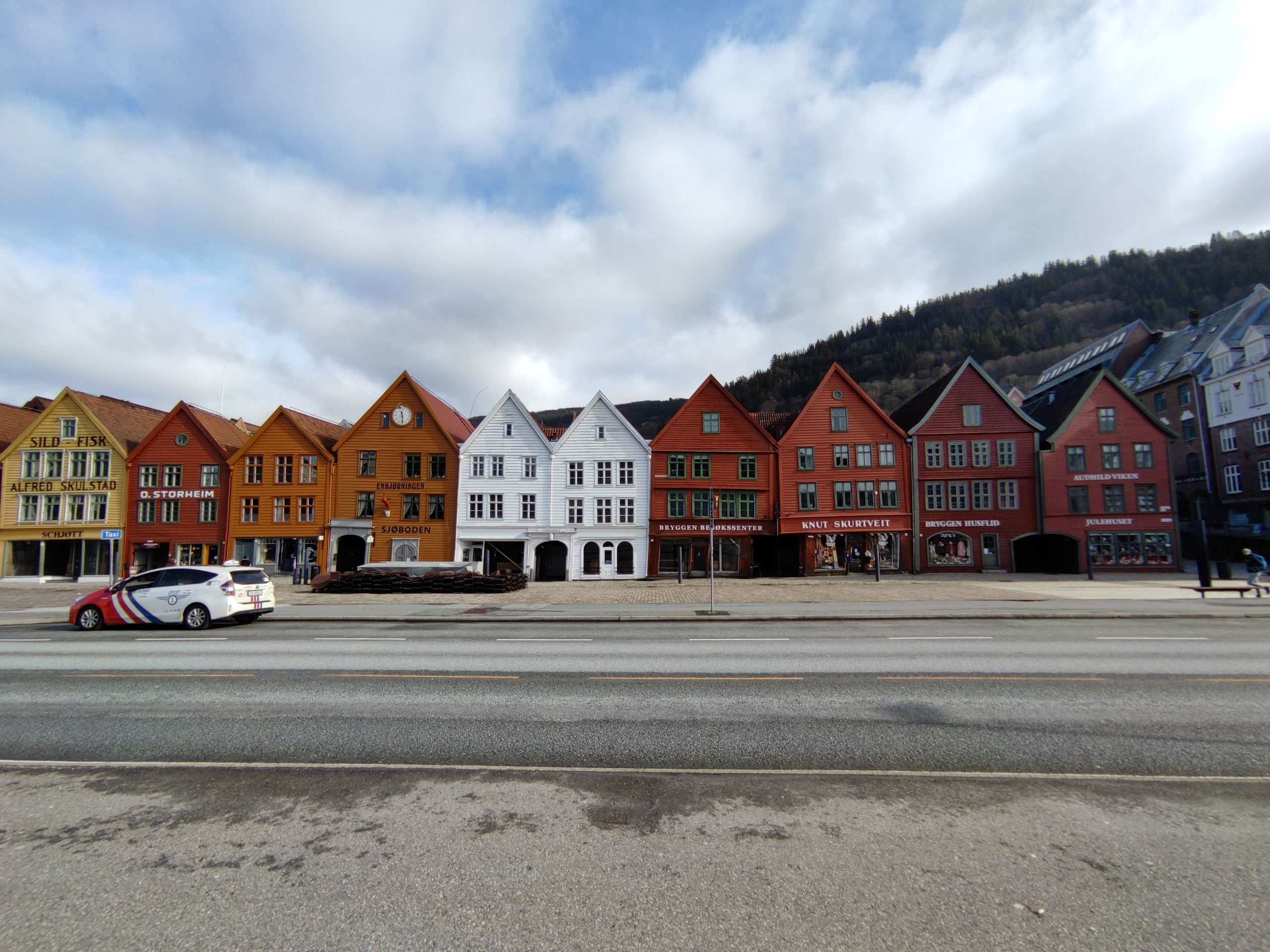
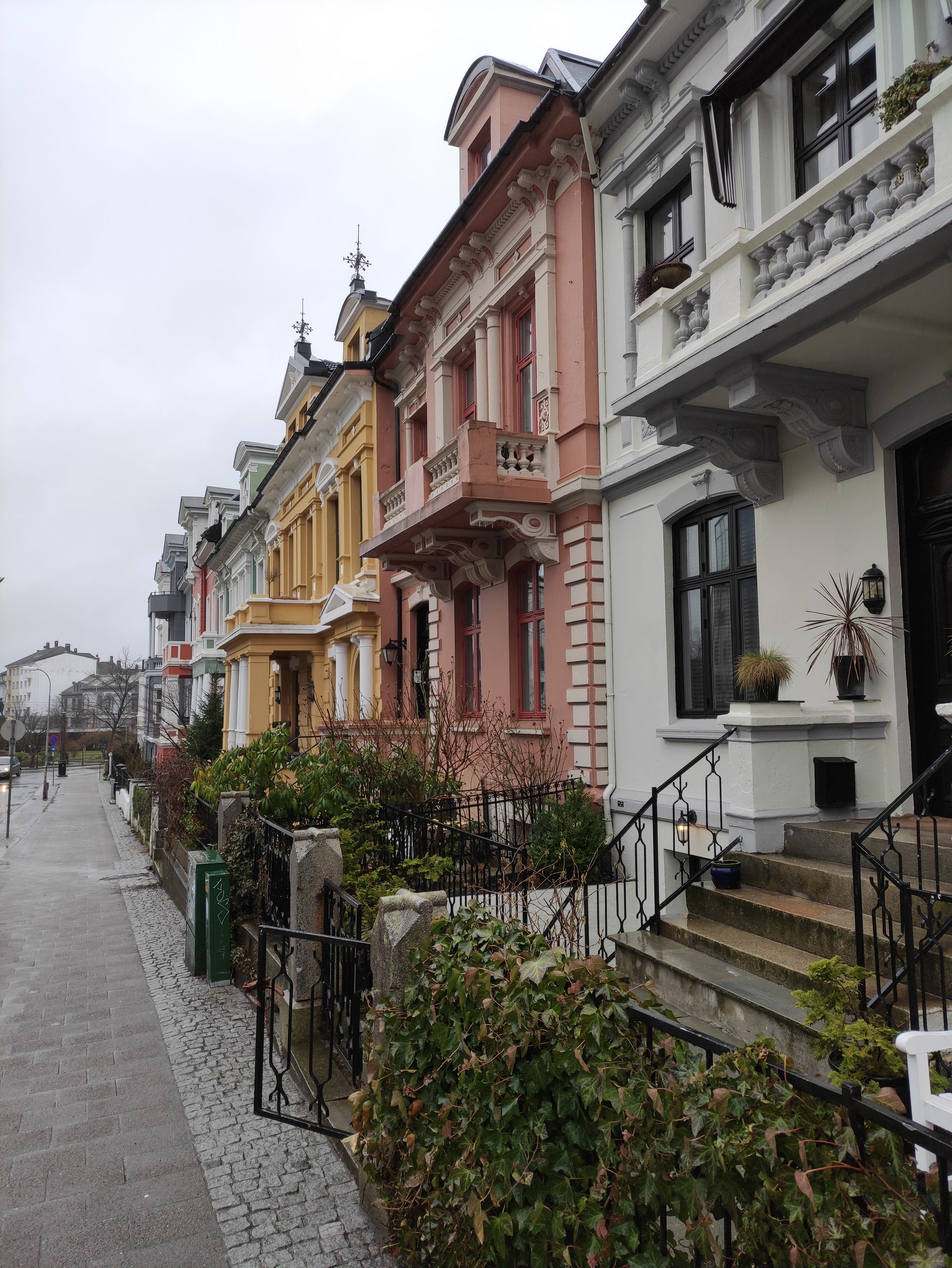
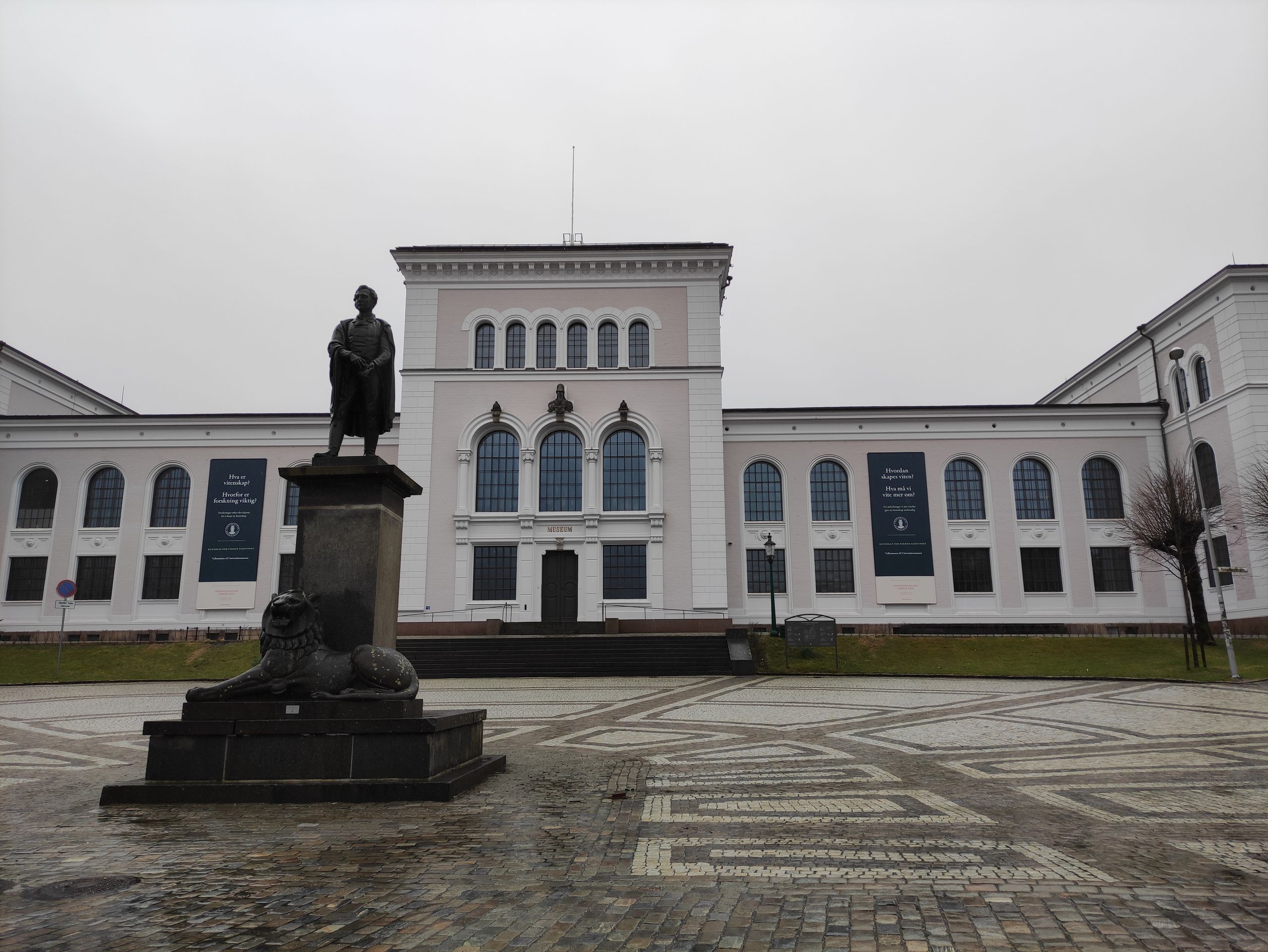
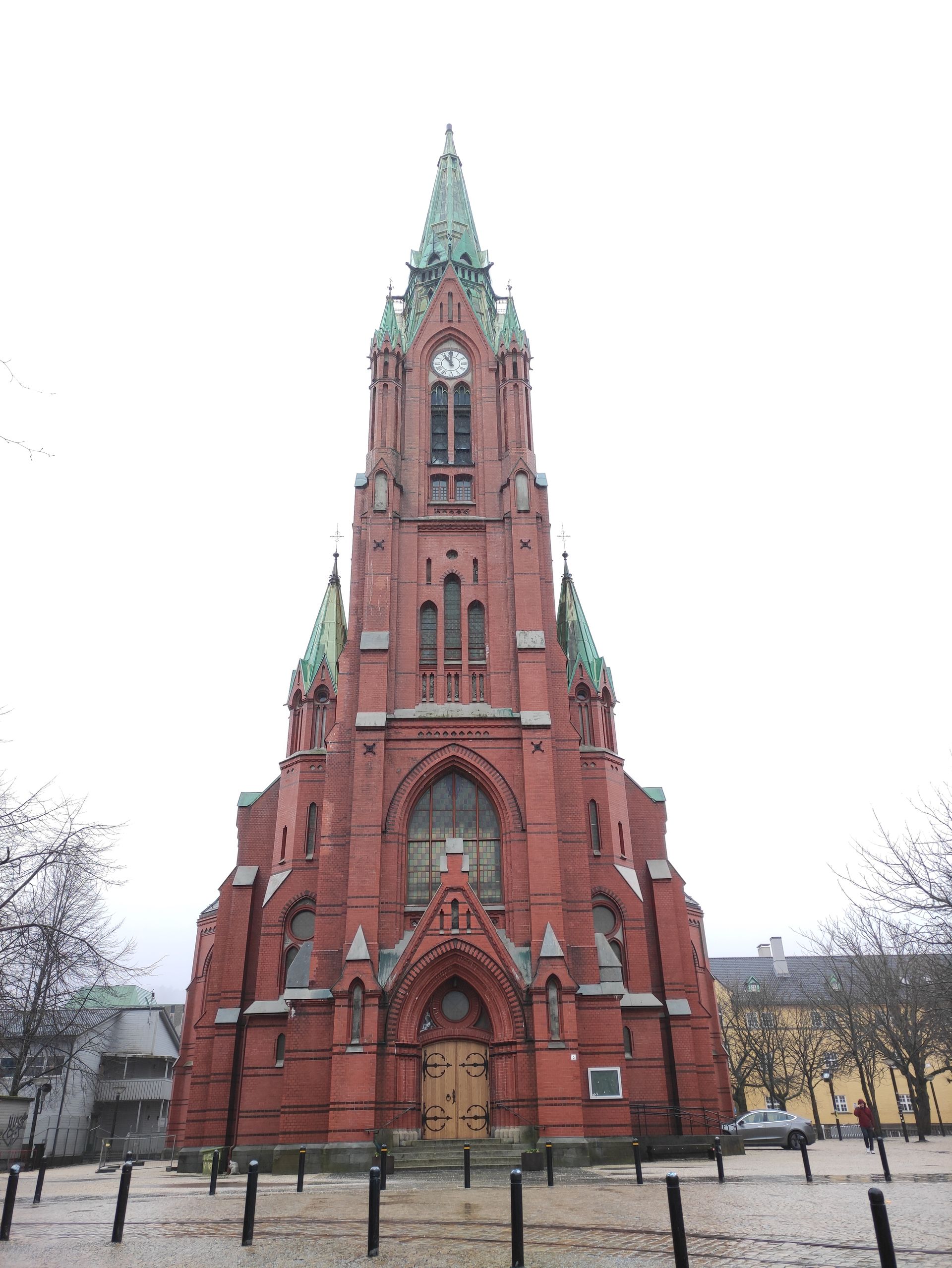
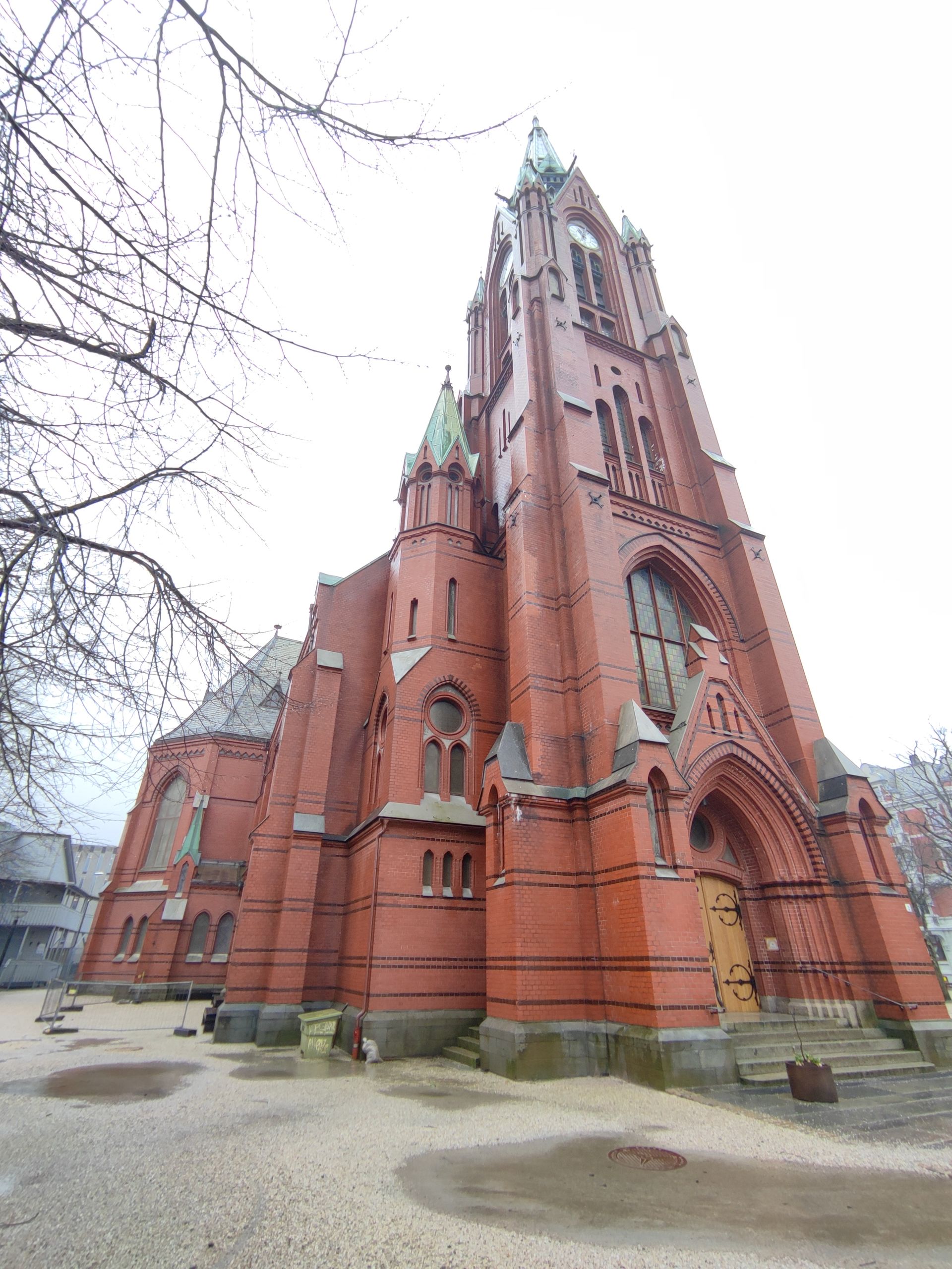
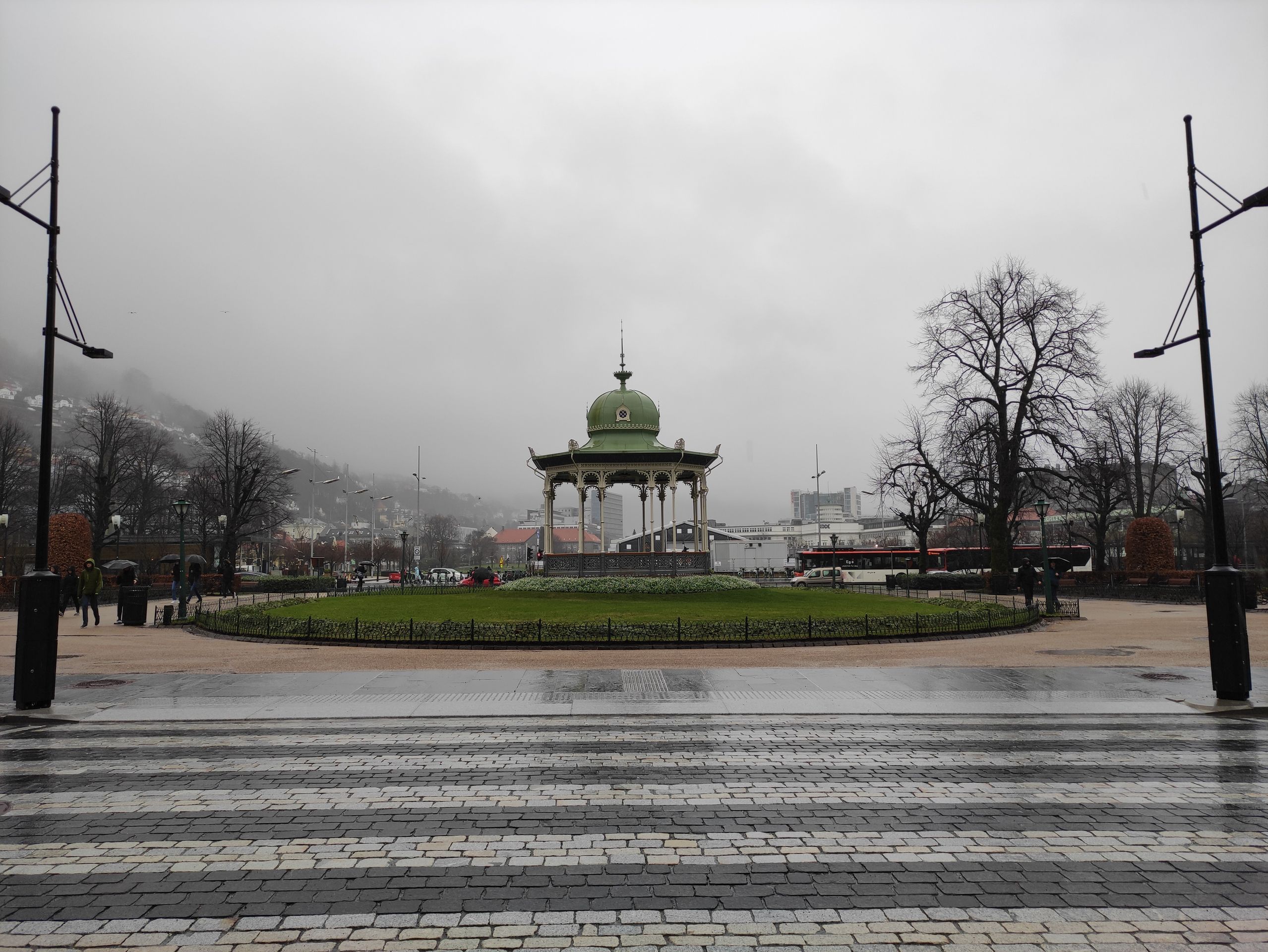
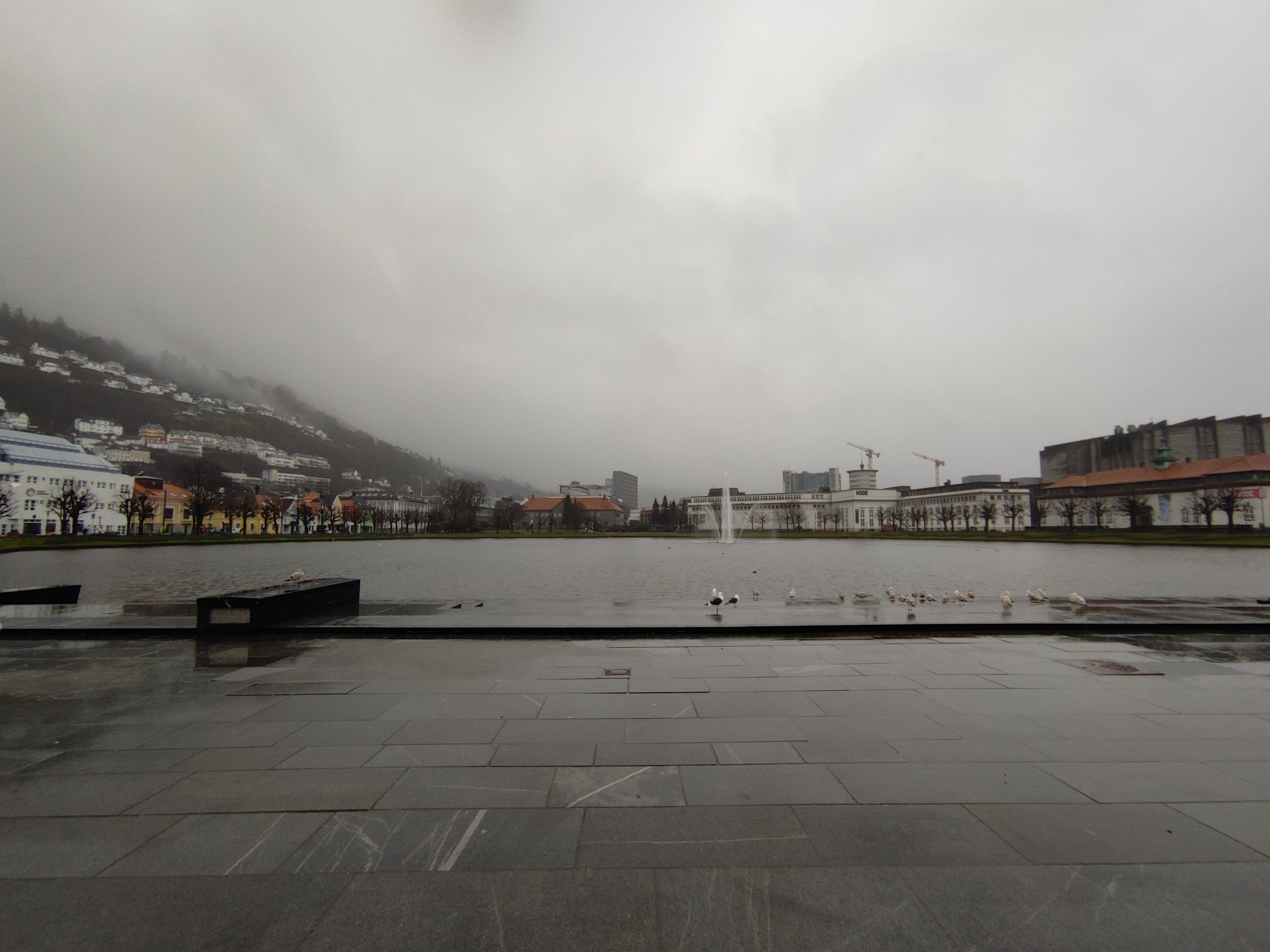
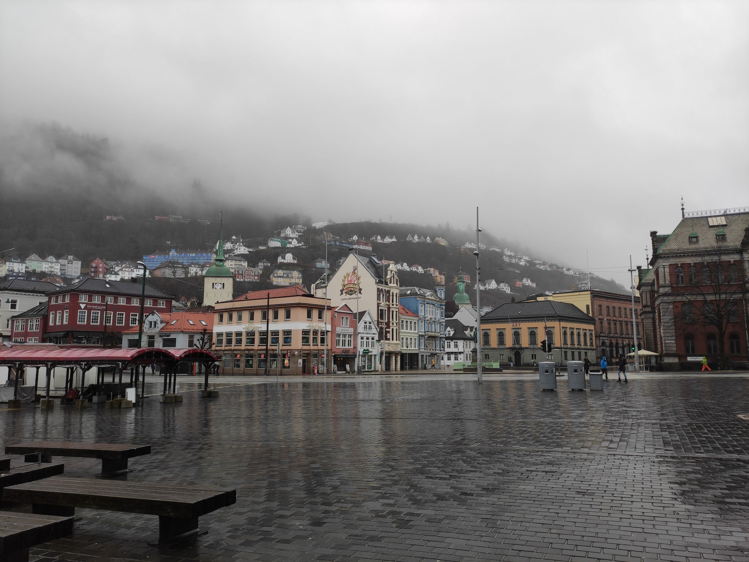
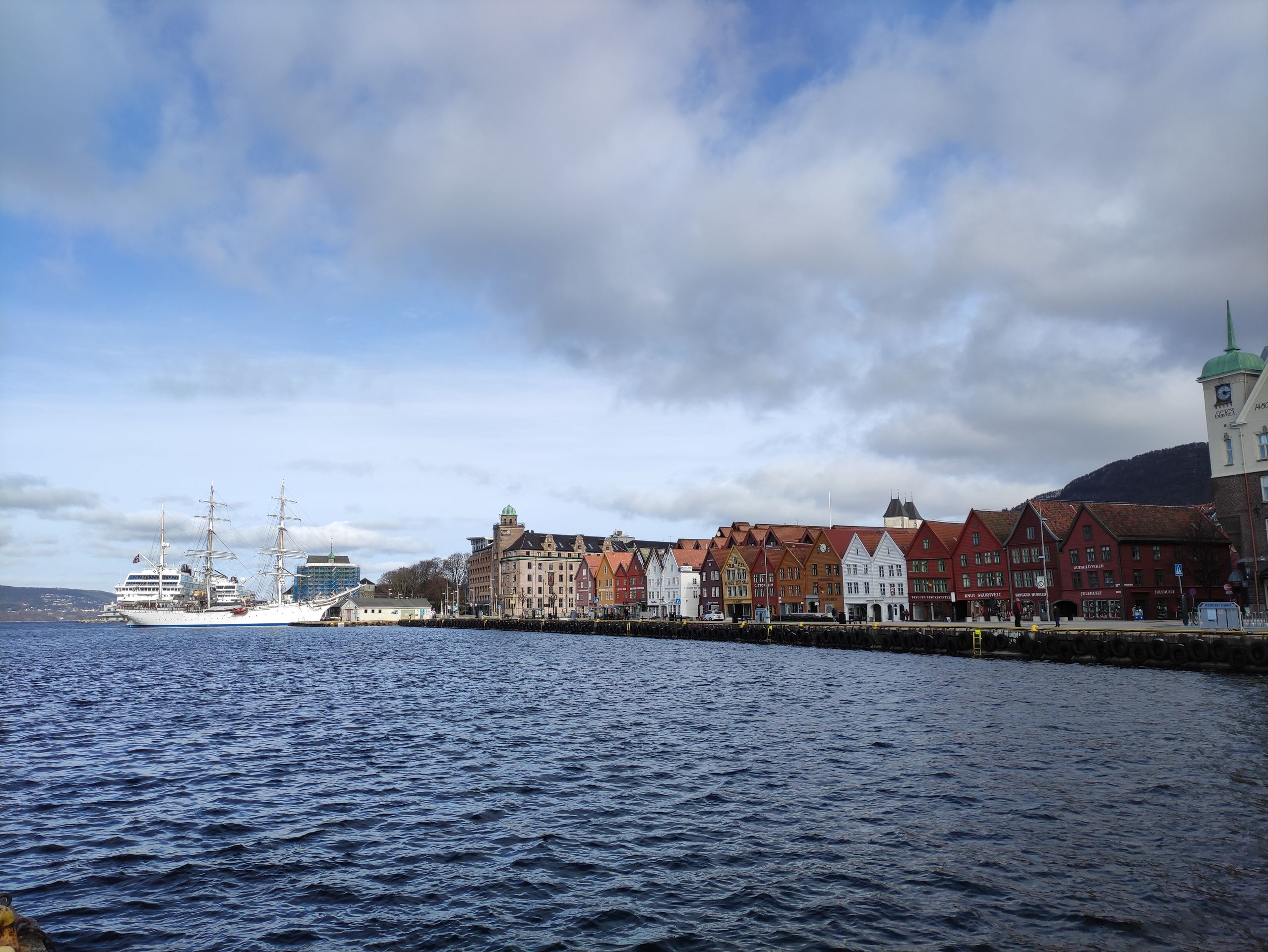
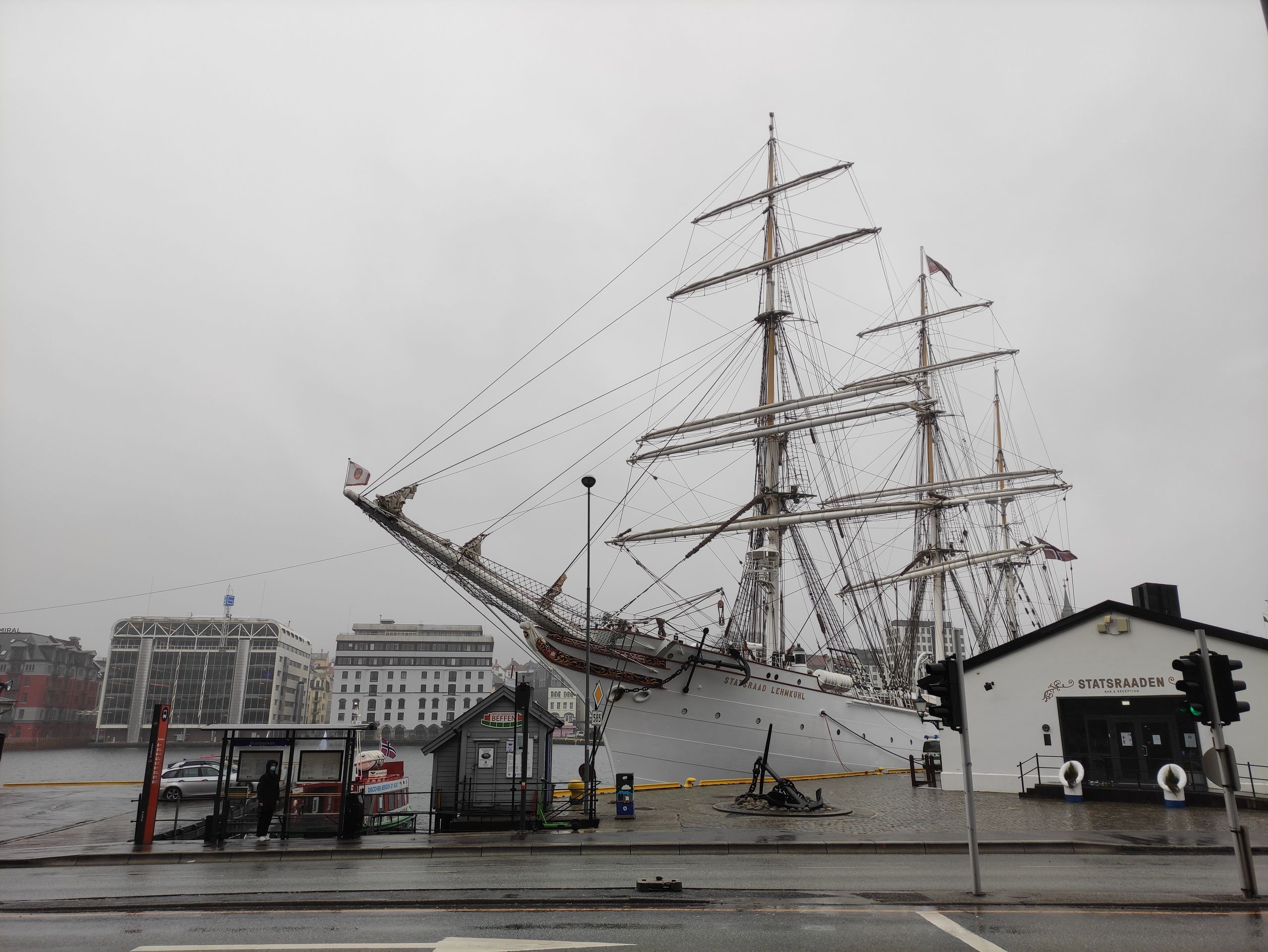
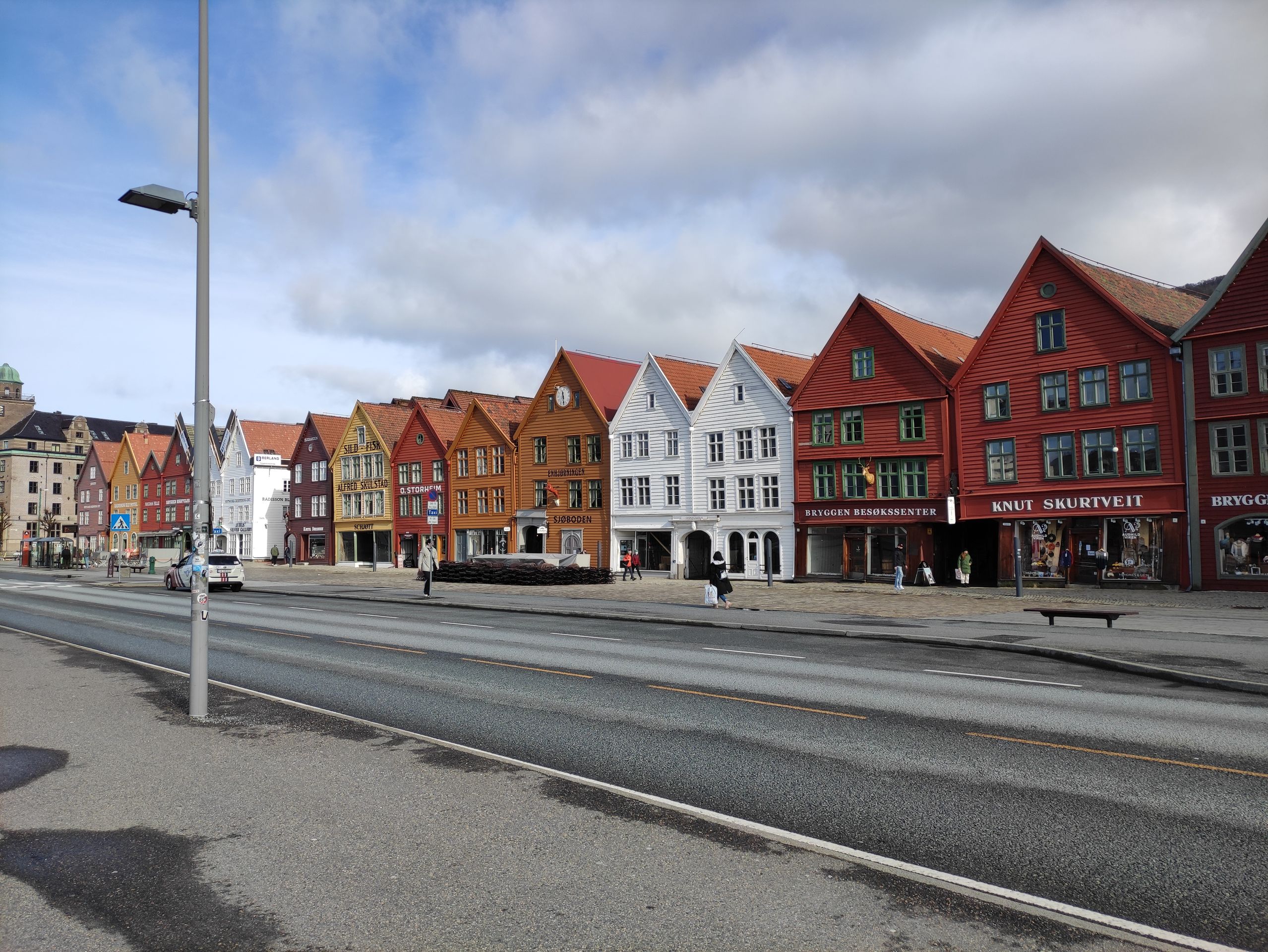
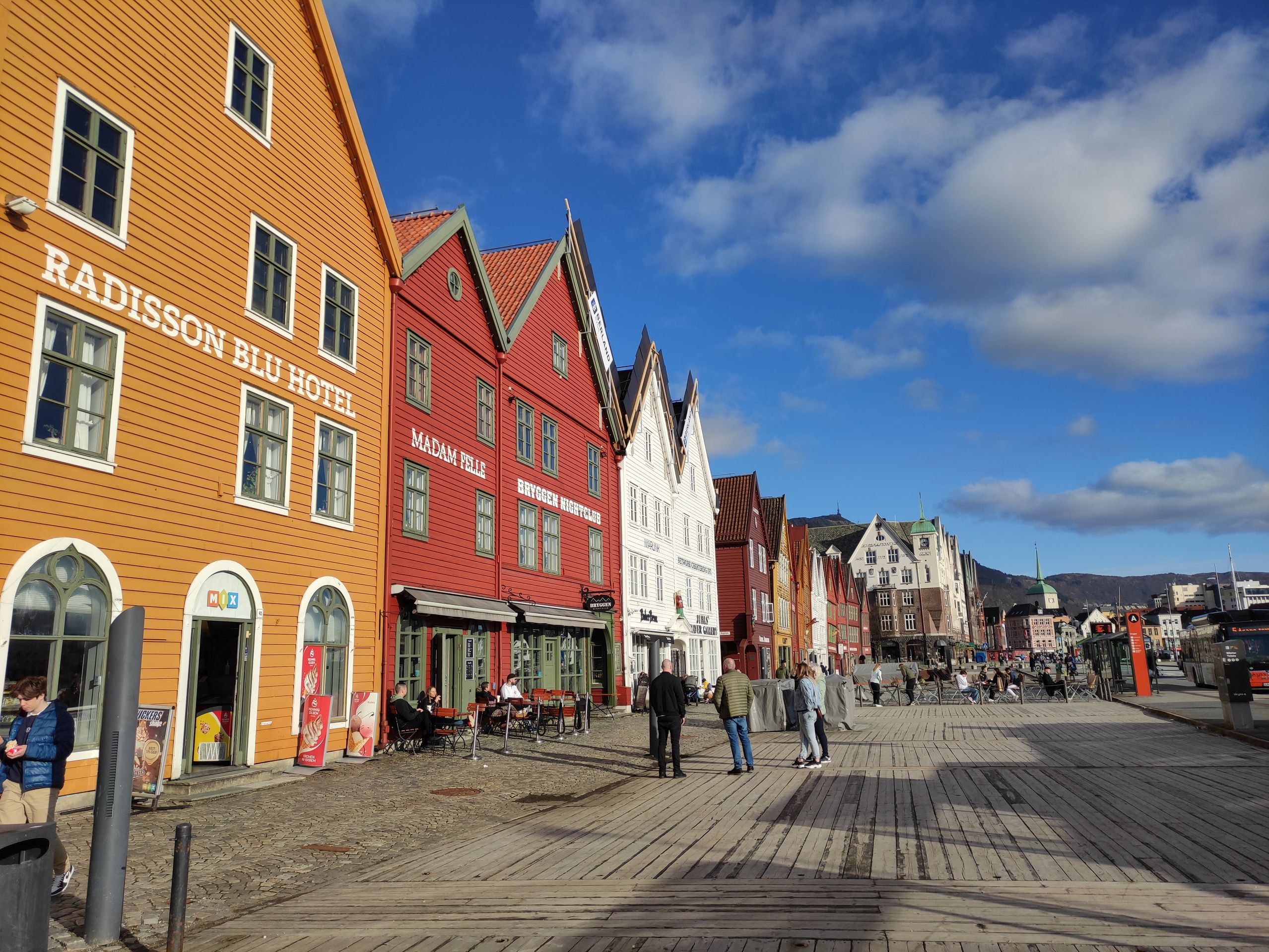
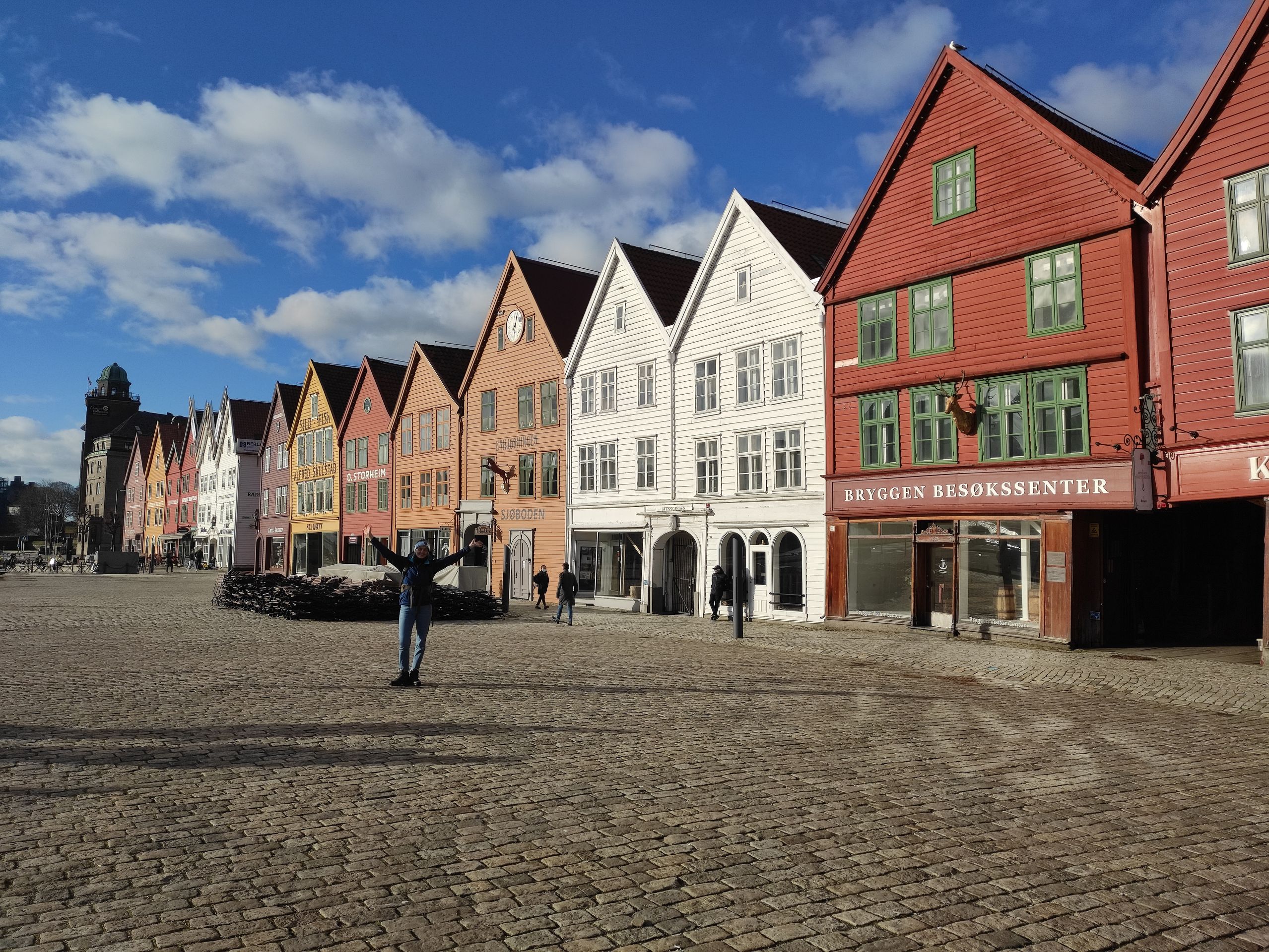
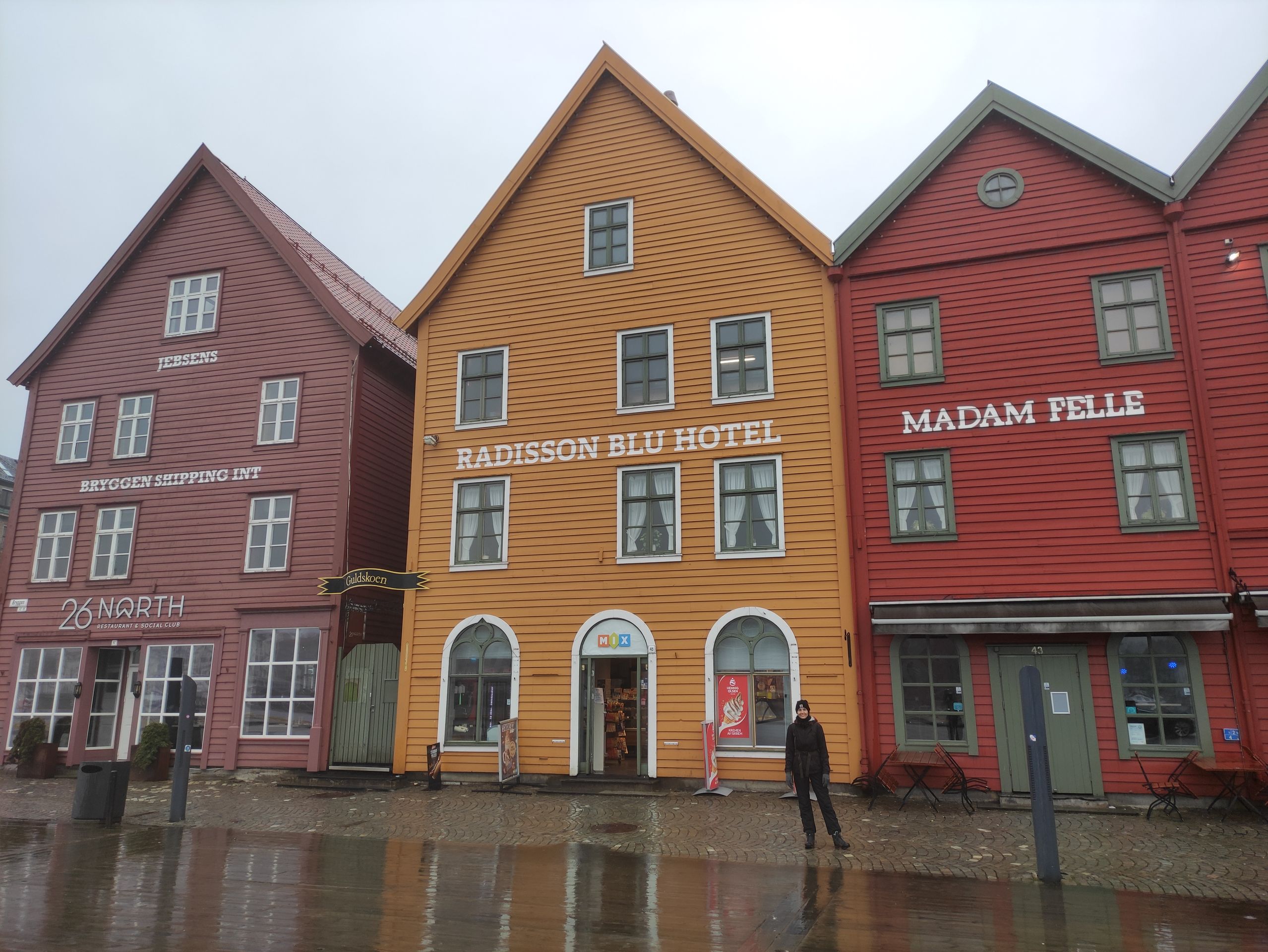
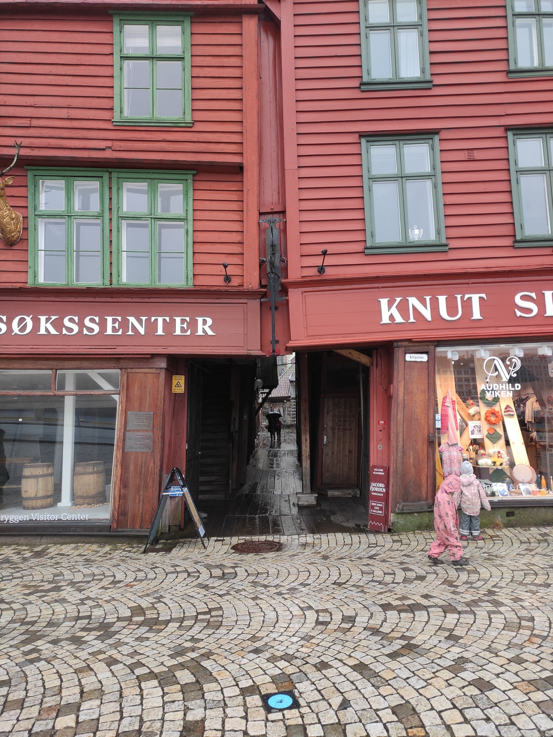
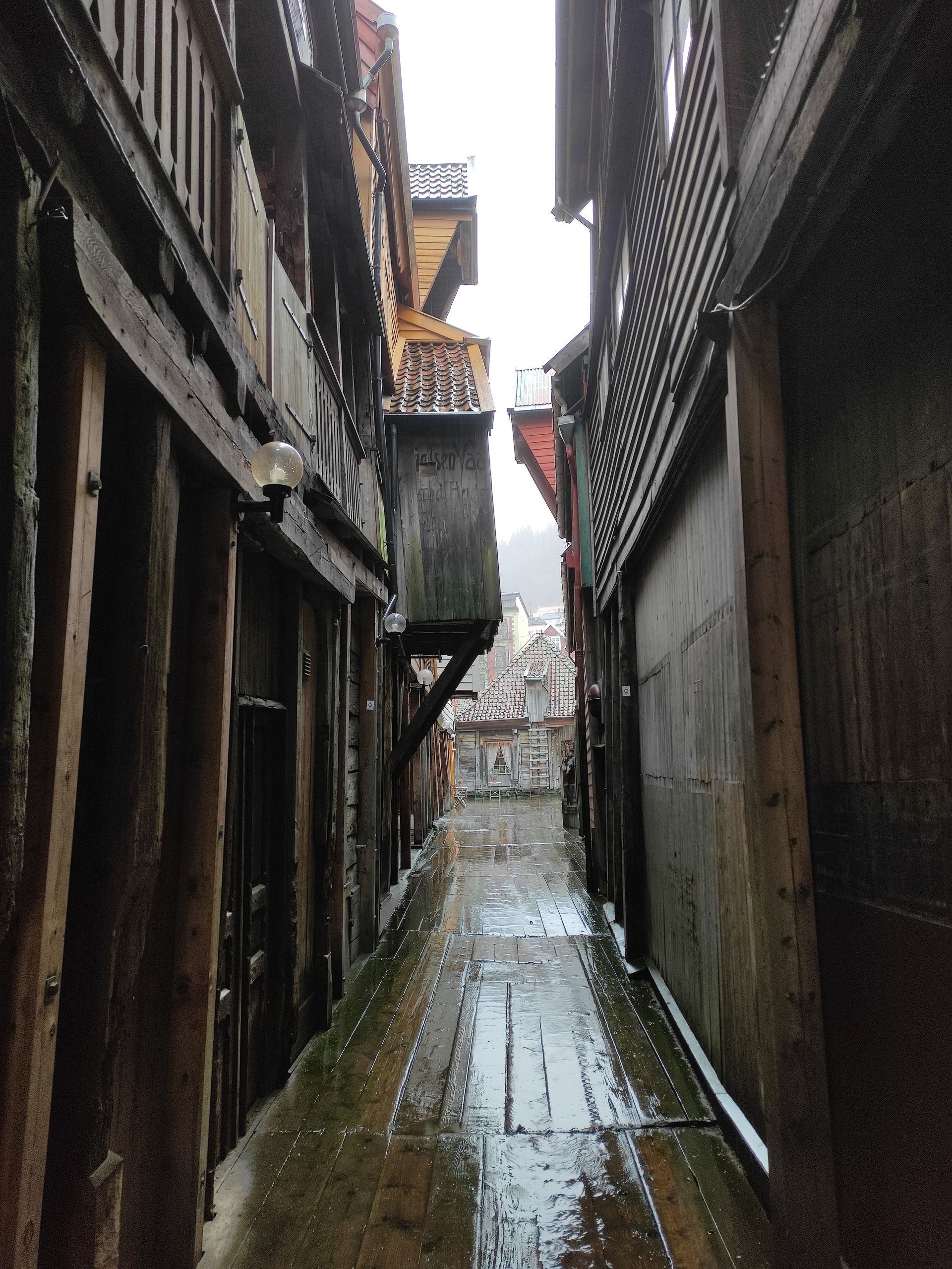
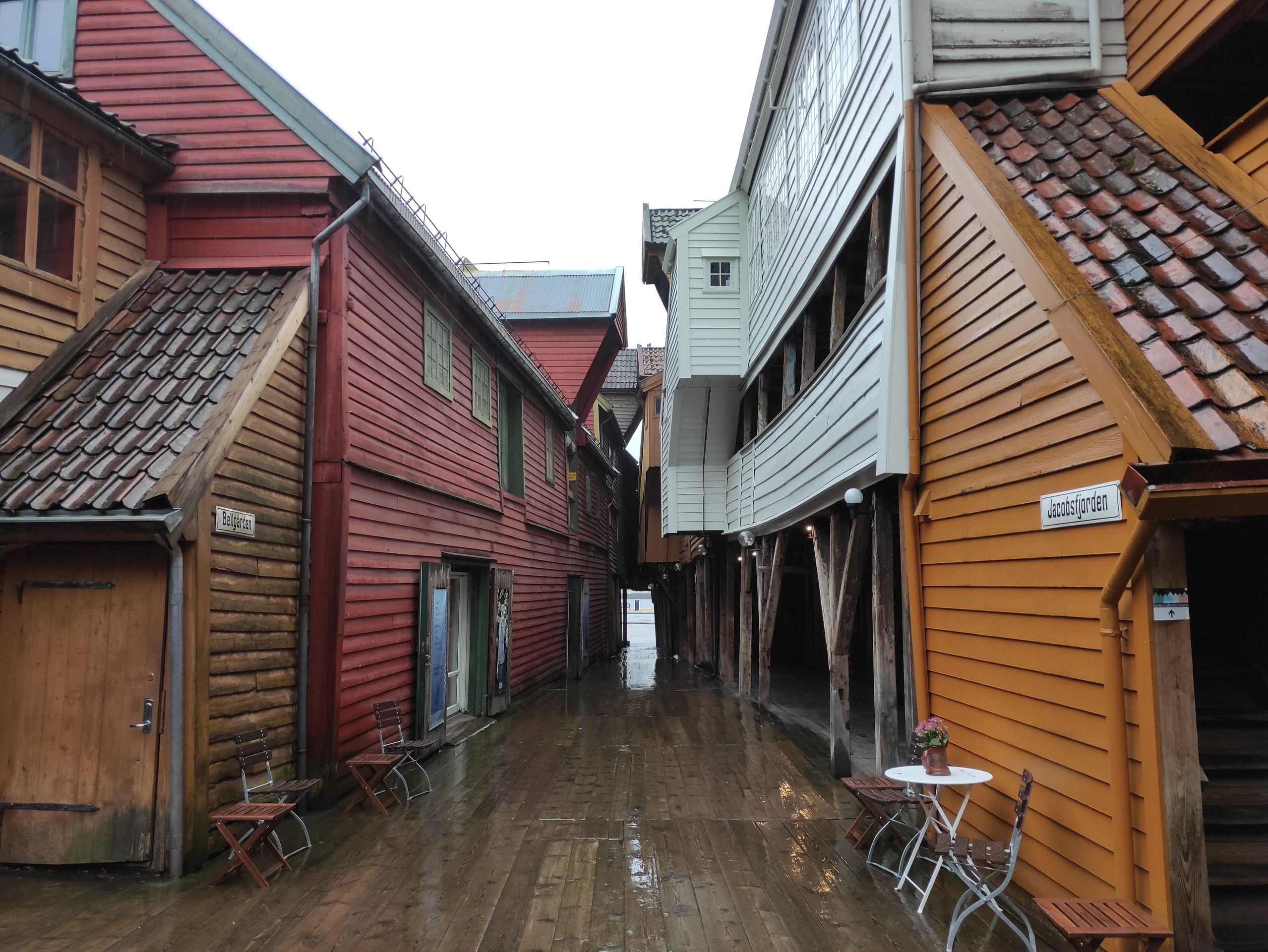
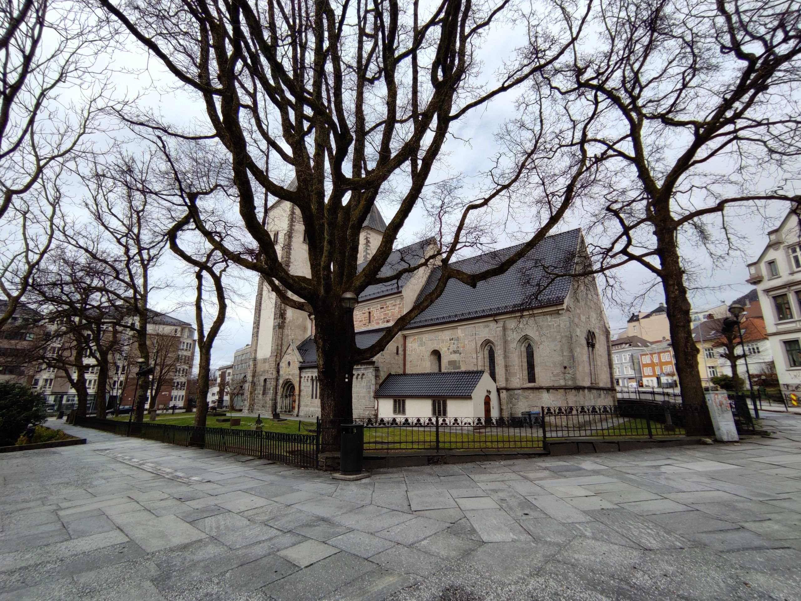
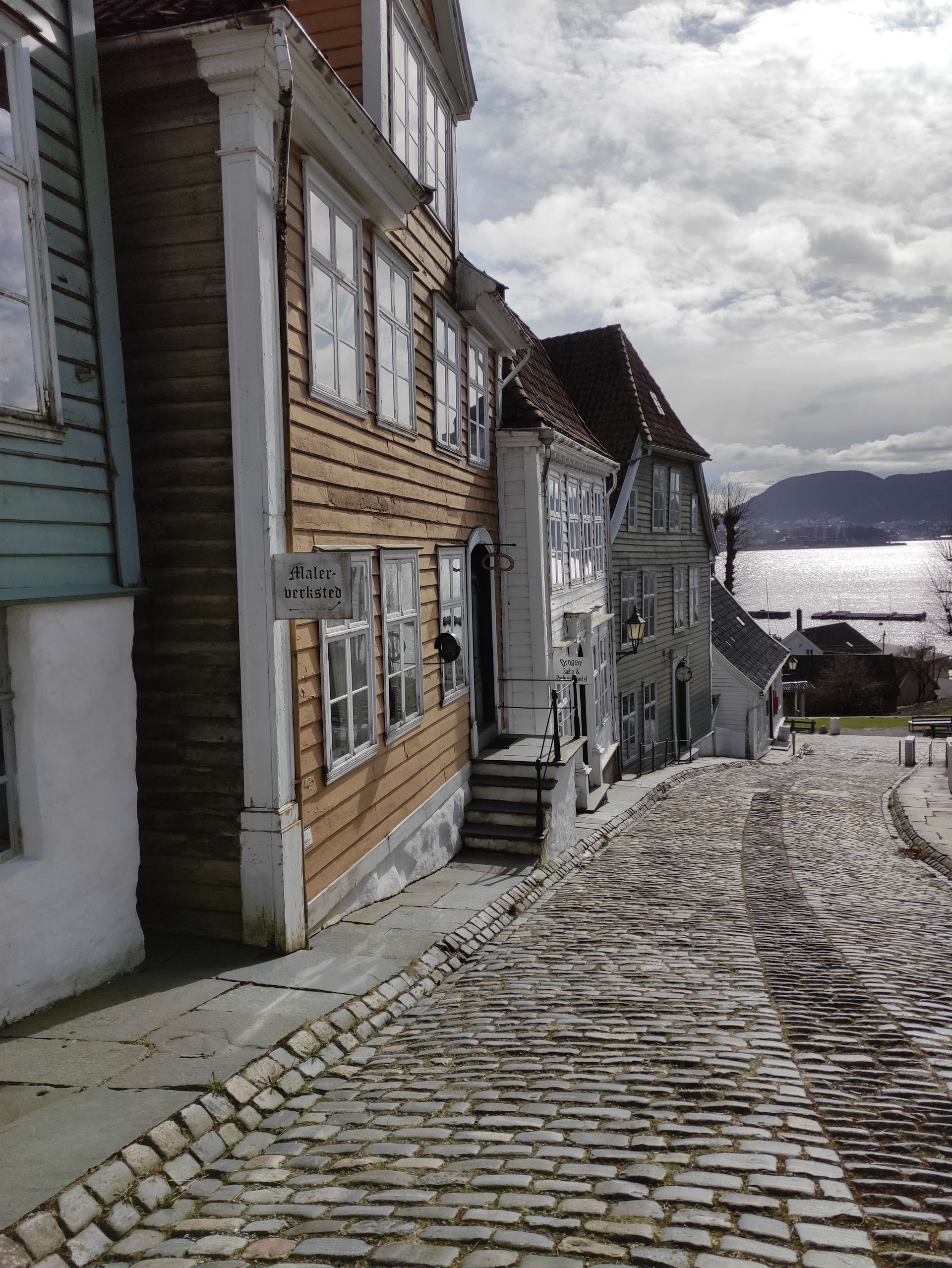
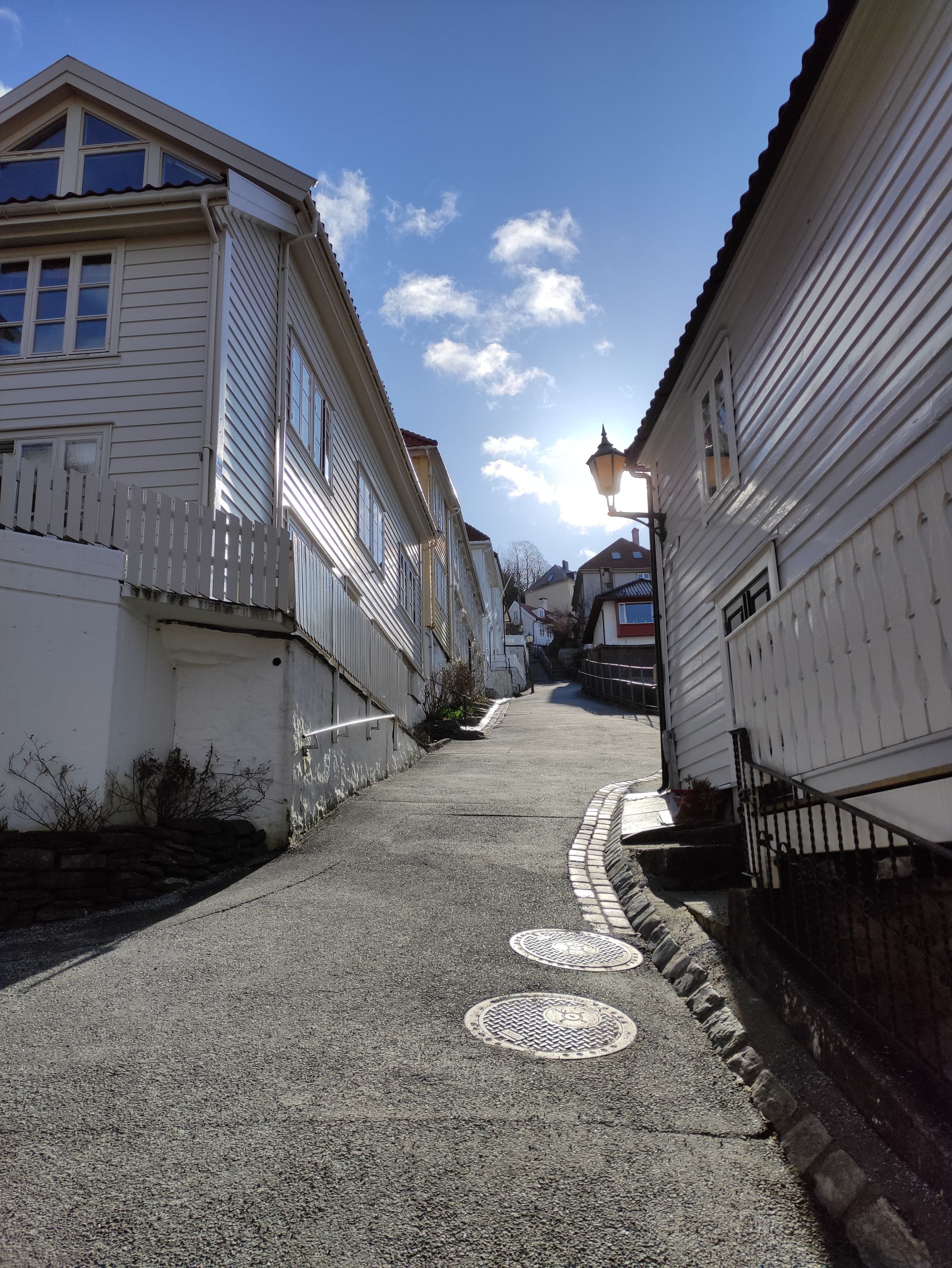
The entire Tuesday was actually planned to explore the city of Bergen, but our joy is limited because it is raining continuously all day. Nevertheless, we put on our rain gear and walk into the city. Among other things, we visit St. John's Church, the Festplassen (Festplatz), Bergen Cathedral, the Market Square with the historical fish market ('Fisketorget'), the Håkonshallen (The banquet hall of King Håkon Håkonsson), and of course the famous Hanseatic quarter 'Bryggen' with its colorful houses, which is a UNESCO World Heritage Site.
Actually, we only wanted to stay in Bergen for one more day to go hiking. But because the weather was so bad today and we would like to see Bergen without much rain and fog, we decide to stay an extra day and go hiking the day after tomorrow. We can also extend the Airbnb room for one more night without any problems.
New day, new luck - and the sun is shining!
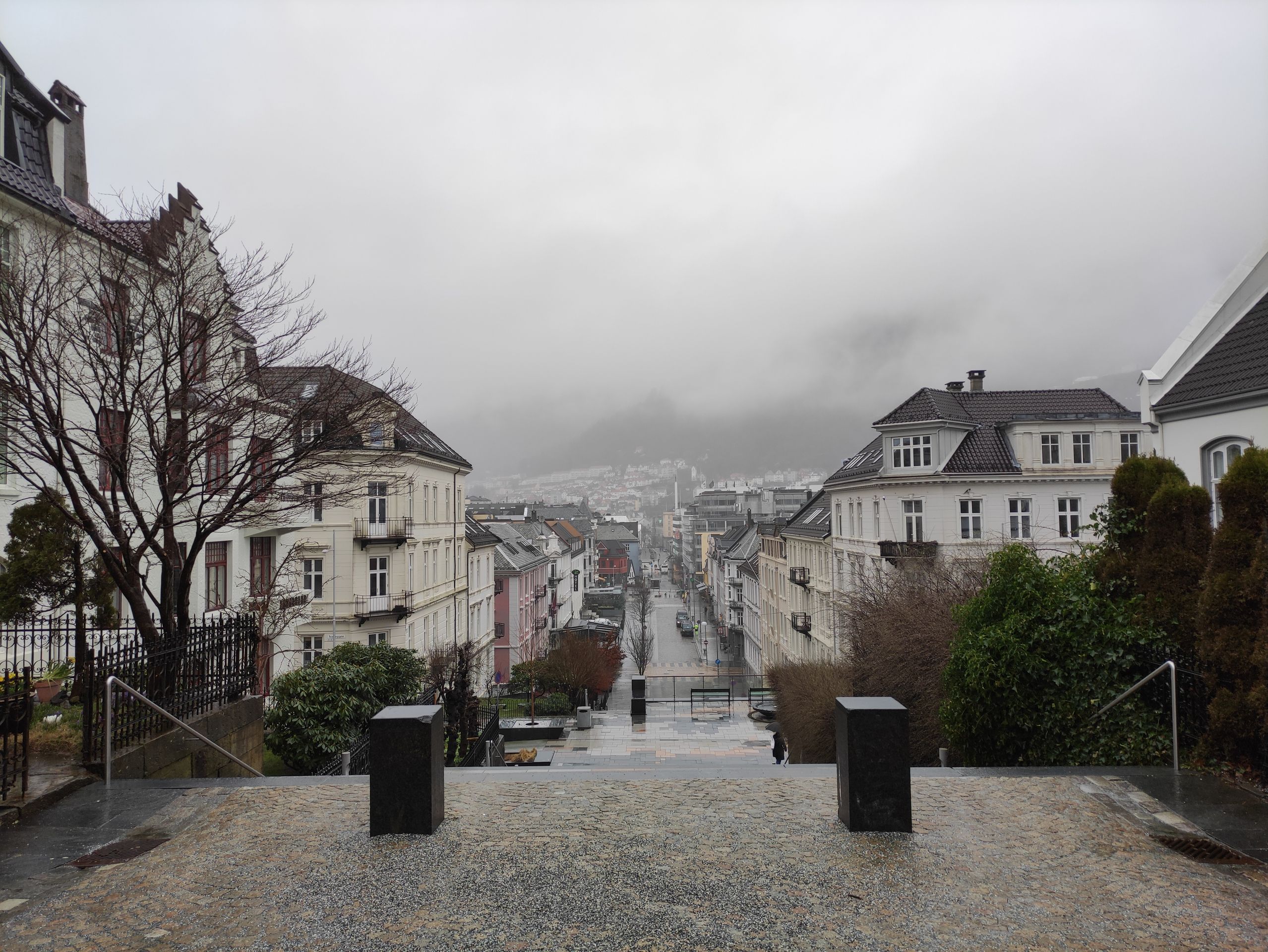
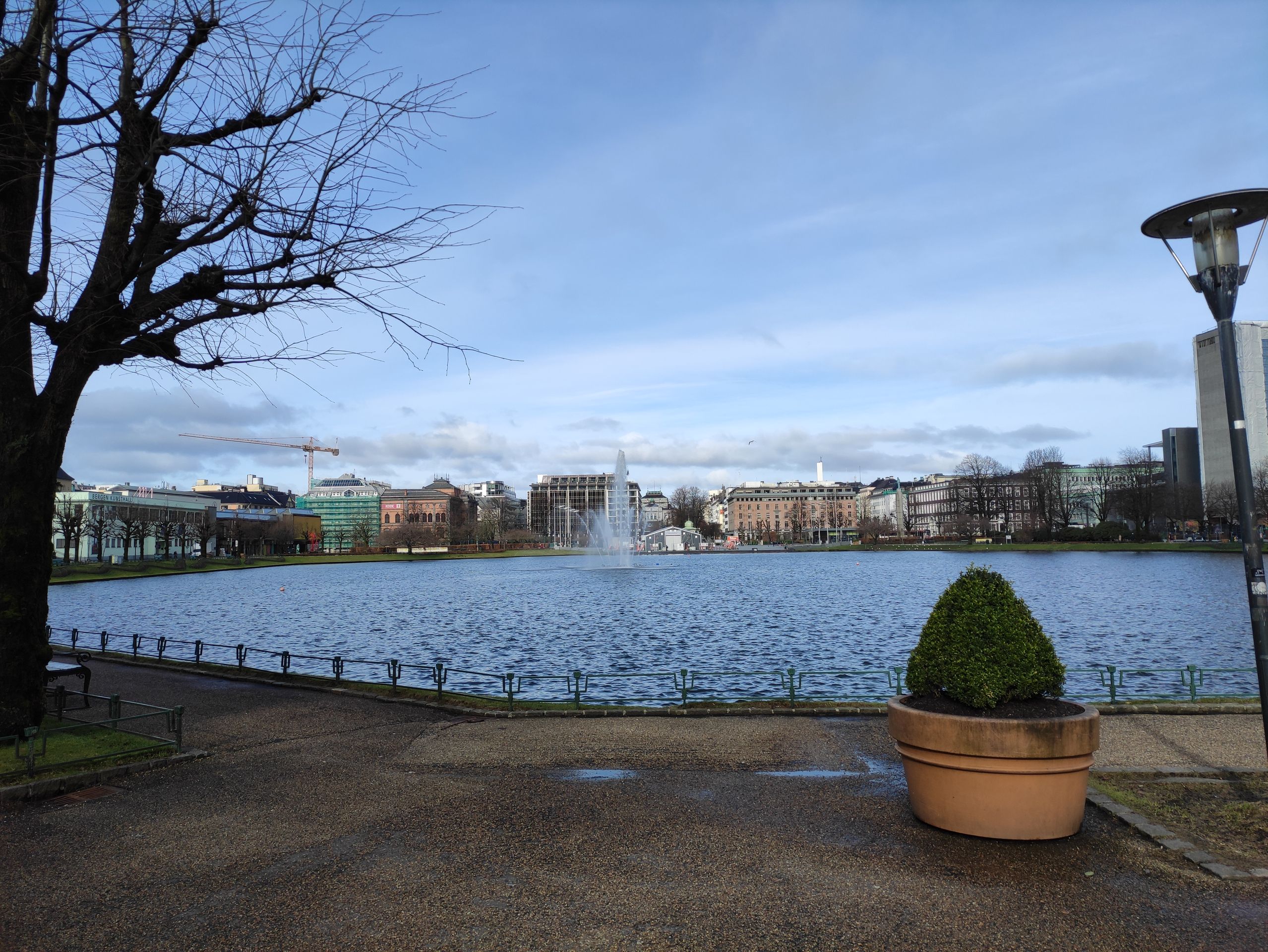
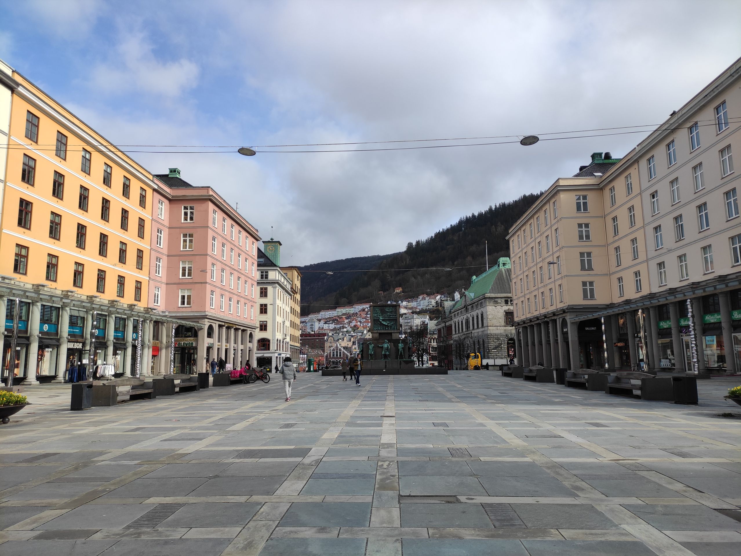
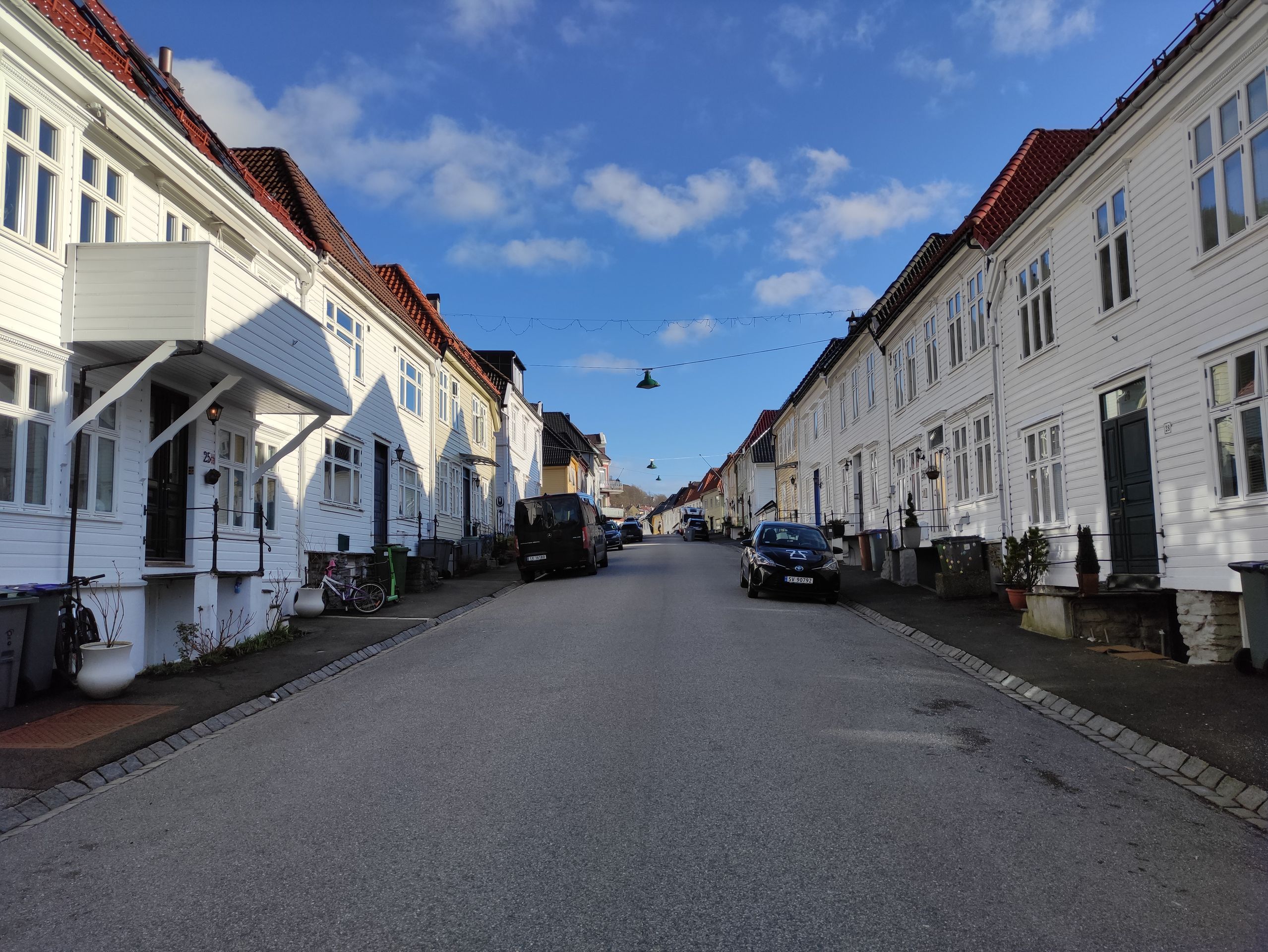
Fortunately, the weather is much better today, and Bergen looks like a completely different world. We walk through the city again, and even though we have already seen most of it yesterday, it looks so much more beautiful in the sunshine!
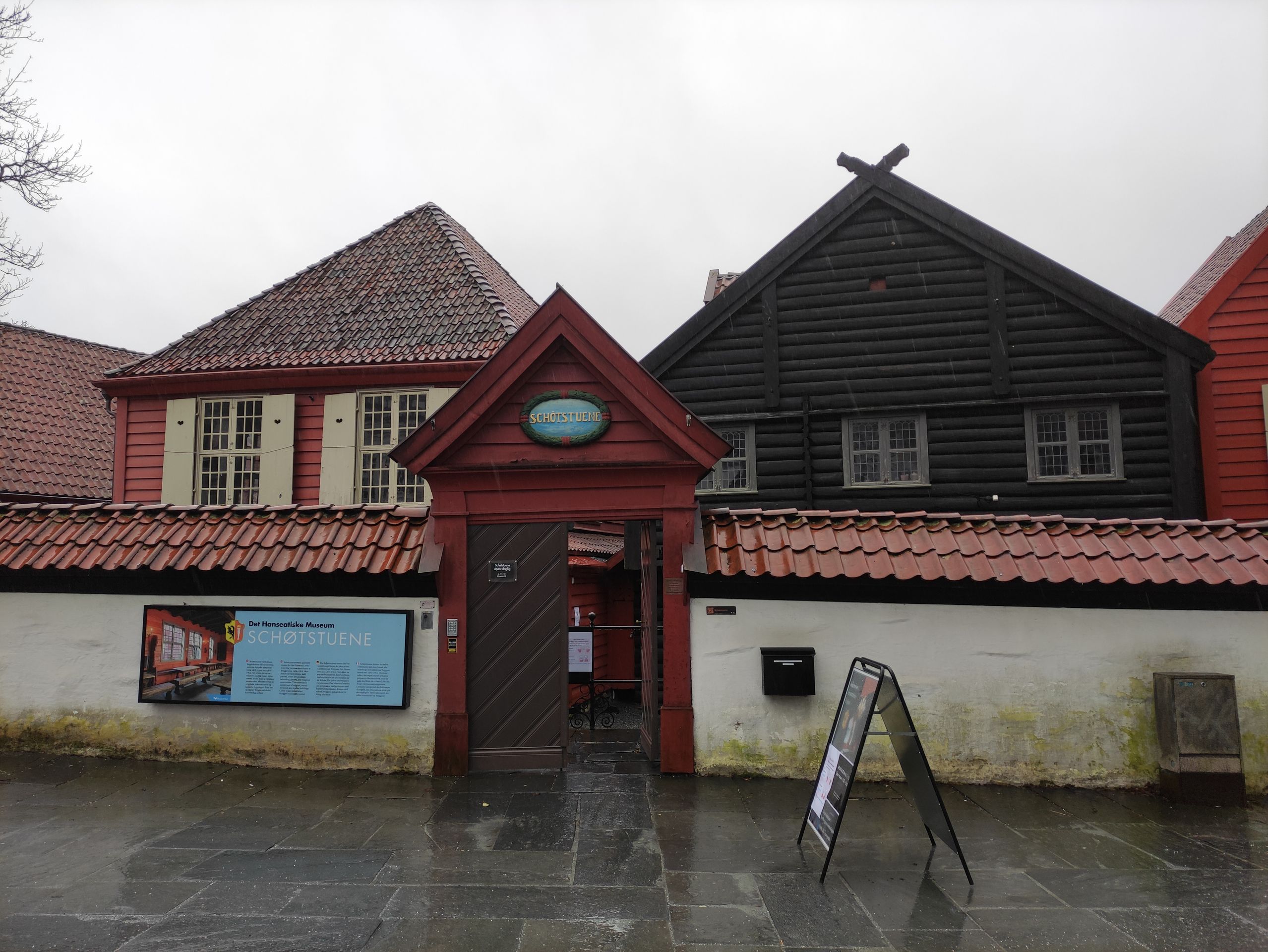
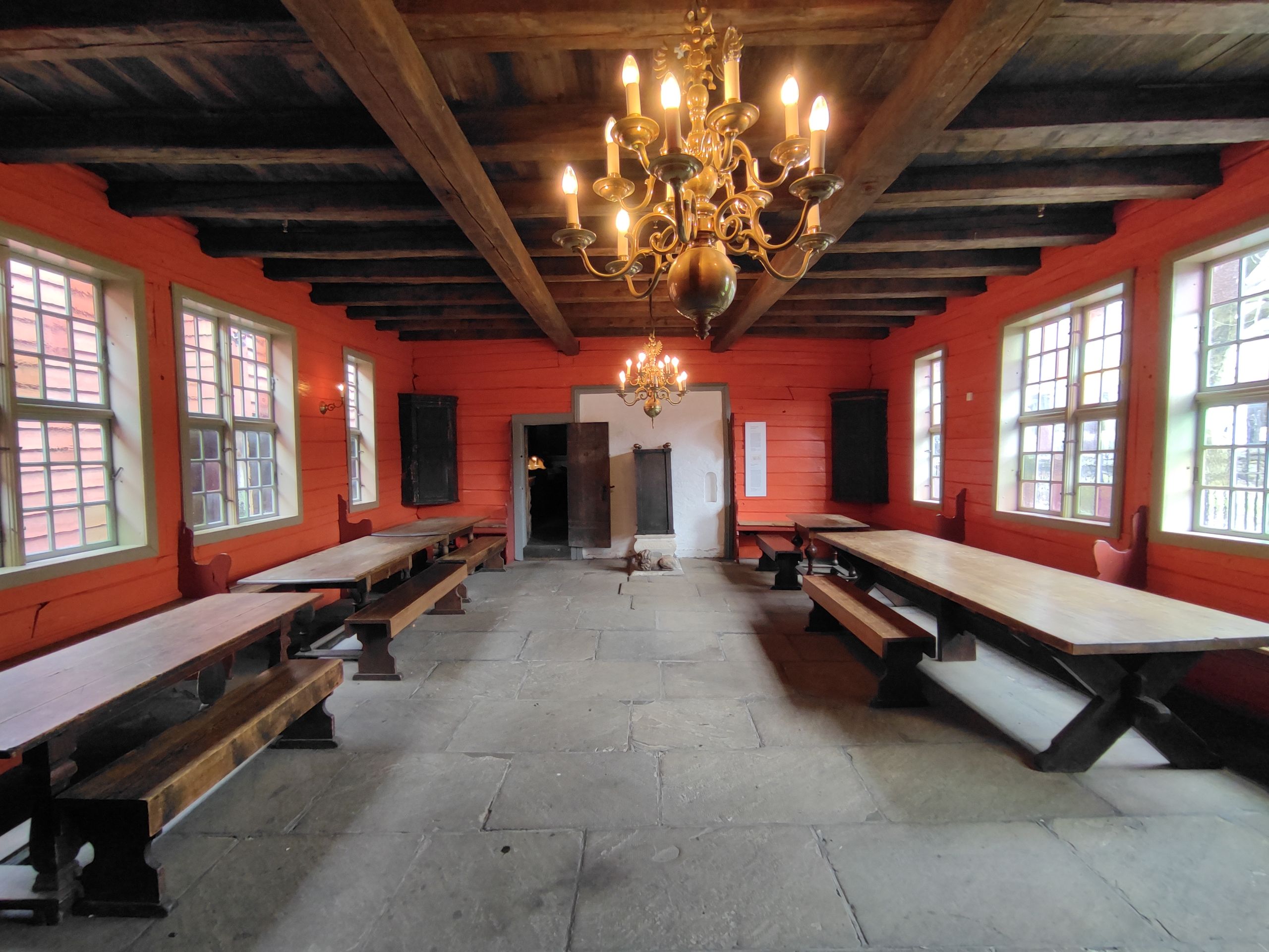
To learn more about the significance of the famous district Bryggen, we visit the Hanseatic Museum. There, the history of the district and the life of the Hanseatic merchants are explained, and above all, the houses and lounges of the former merchants are reconstructed/restored and exhibited.
Here I learn that Bergen's Bryggen district is significant because it played an important role in trade during the Middle Ages. The Hanseatic League, an association of Low German merchants, established a trading post in the Bryggen district in 1360, which controlled trade in the city for 400 years. In Bergen, for example, the famous stockfish was transshipped. I also learned in the museum that the famous colorful houses in Bryggen were built on gravel, construction debris, garbage, and sand, which is why they have been sinking and tilting for several years. Currently, efforts are being made to raise the houses with elaborate techniques to renew the foundations.
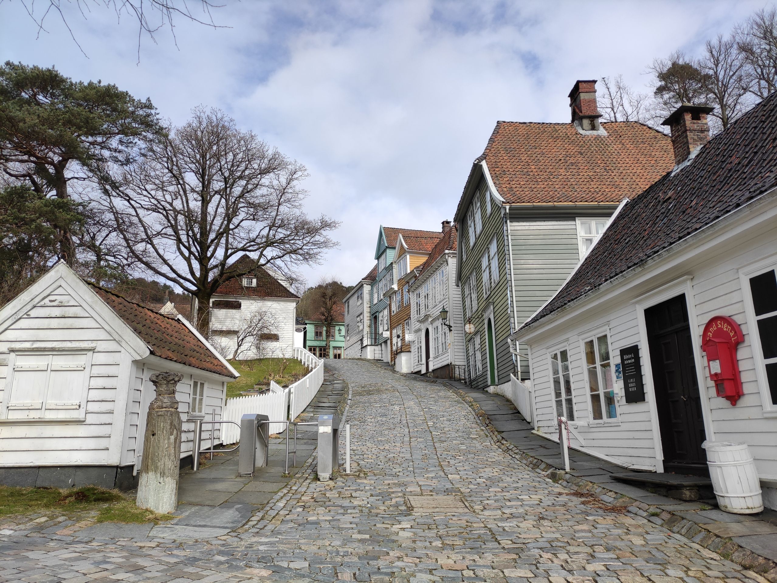
After this interesting museum visit, we continue walking to the outskirts of Bergen, where the Old Bergen Museum ('Gamle Bergen'), an open-air museum, is located. The Old Bergen Museum is a reconstructed urban environment with around 50 wooden houses from the 18th, 19th, and 20th centuries. Unfortunately, the museum is closed, so we cannot go inside the houses, but we can still walk through the museum village and recognize from an information board which people used to live in the different houses.
It is very exciting to see how the city was built in the past and which people lived in which houses.
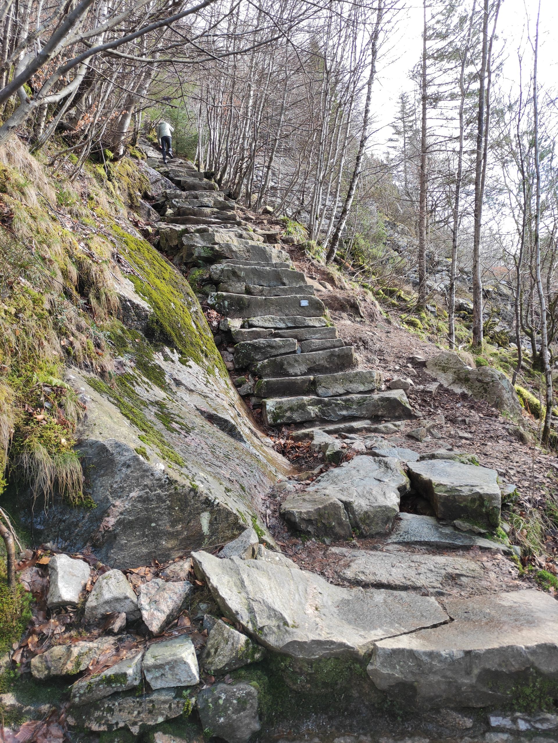
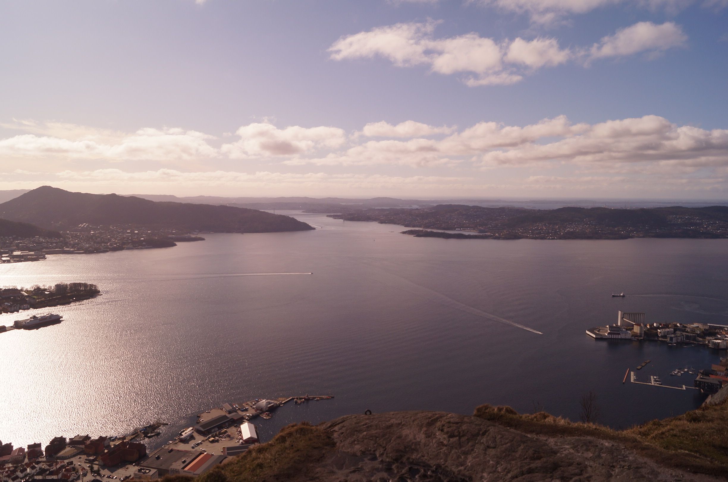
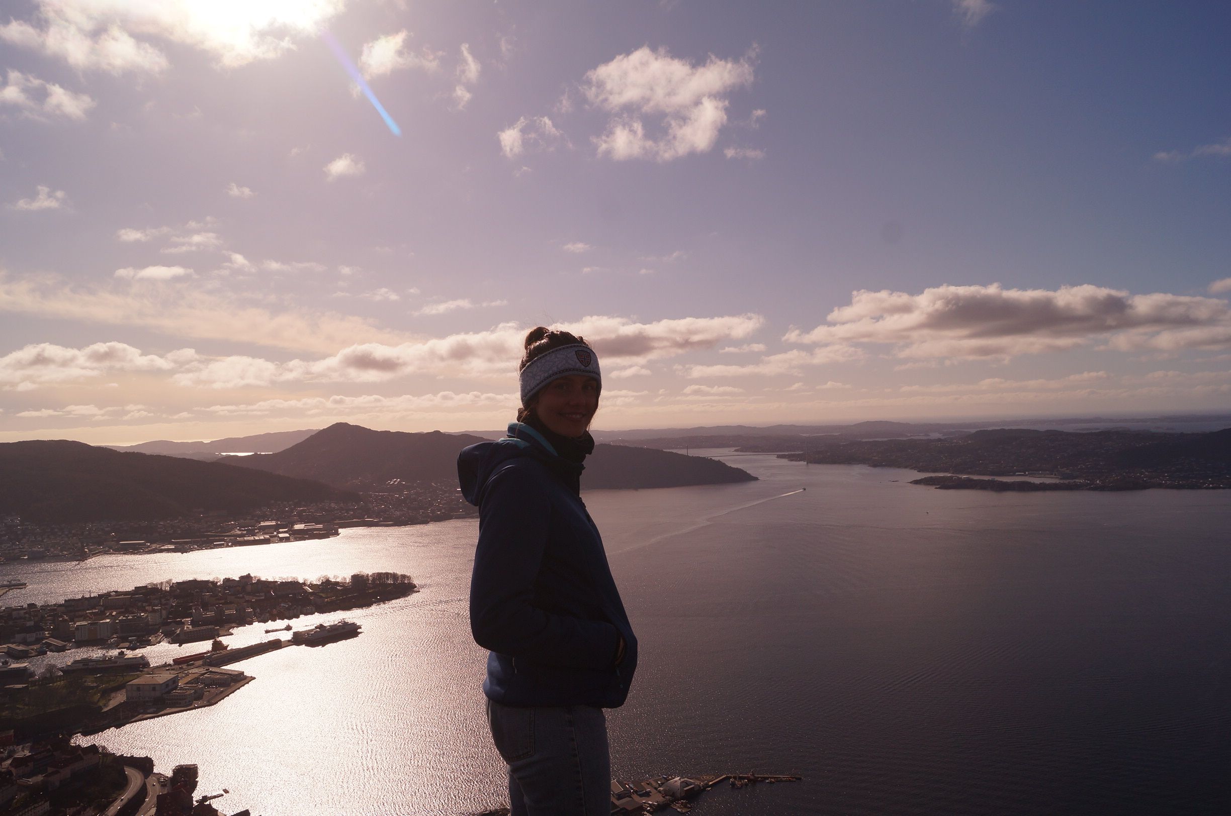
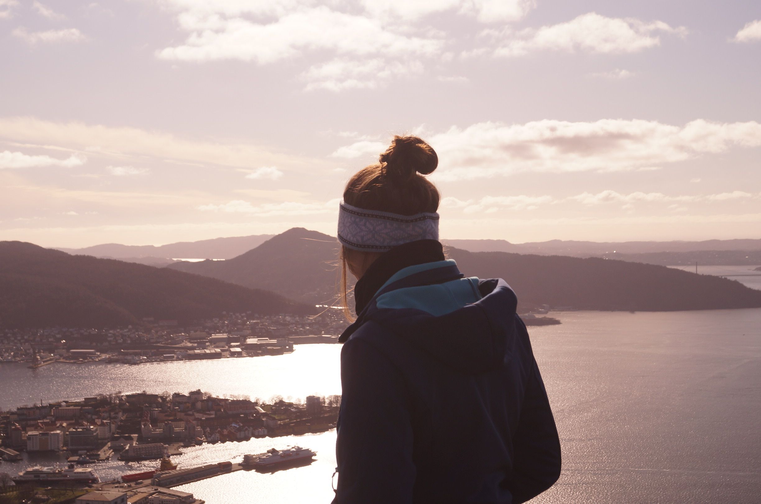
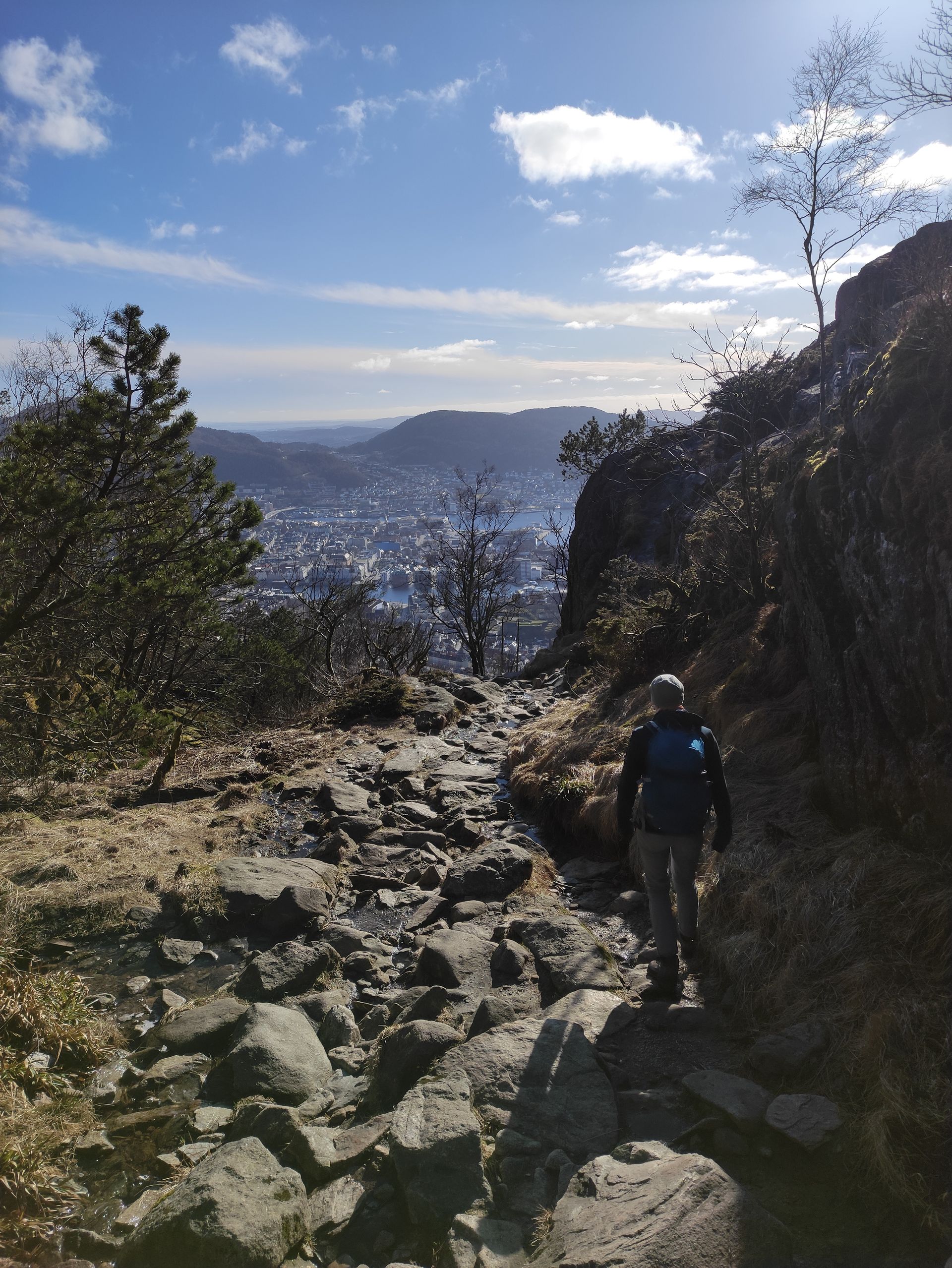
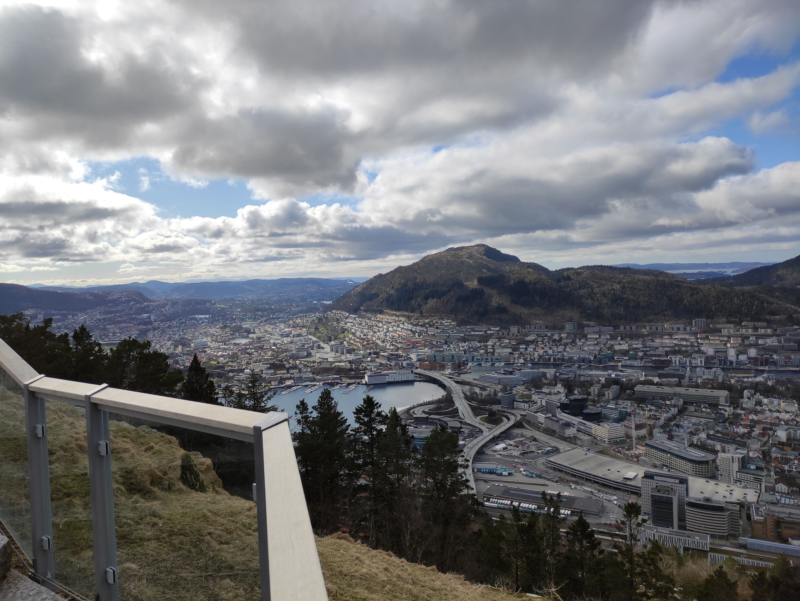
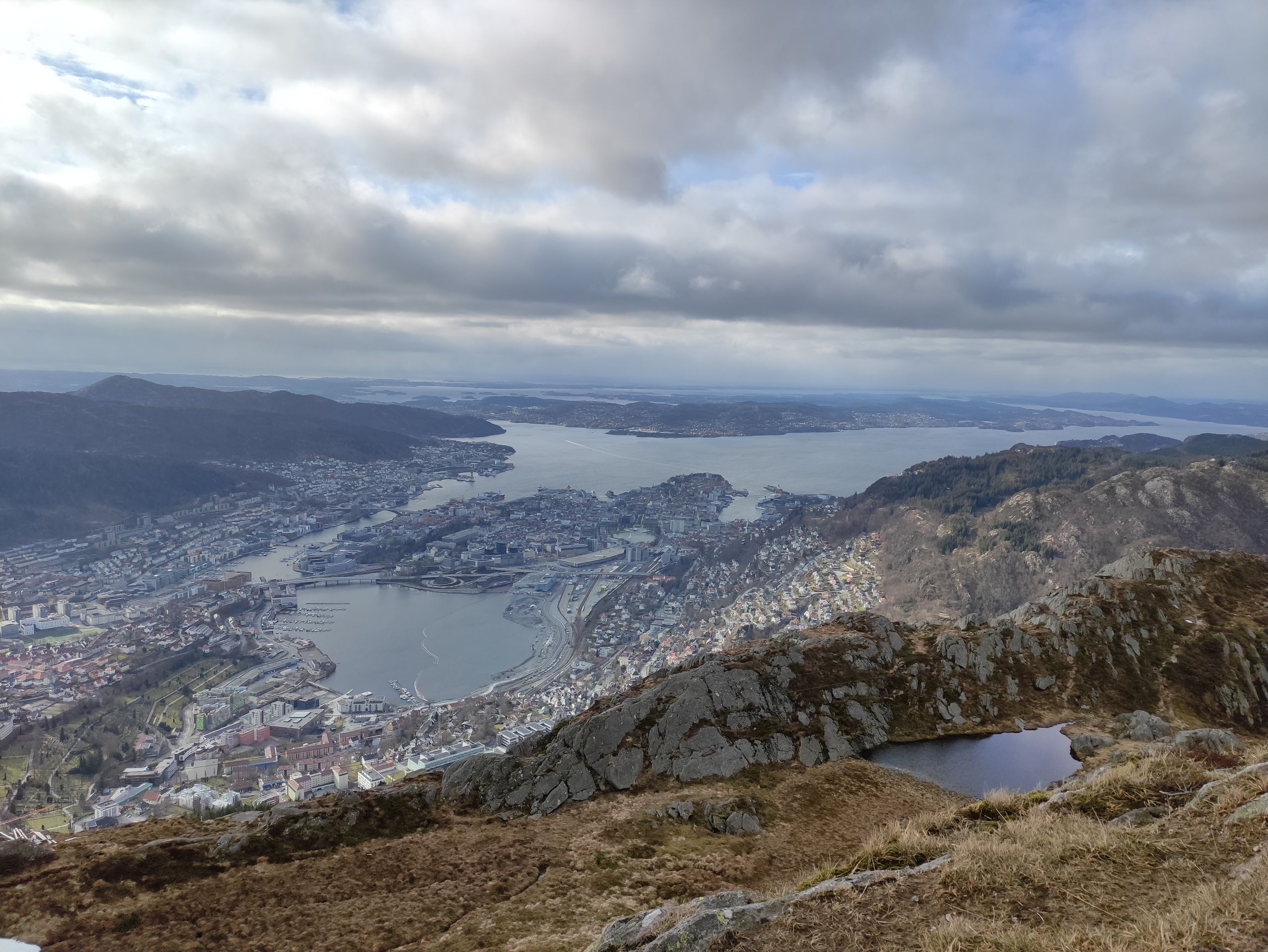
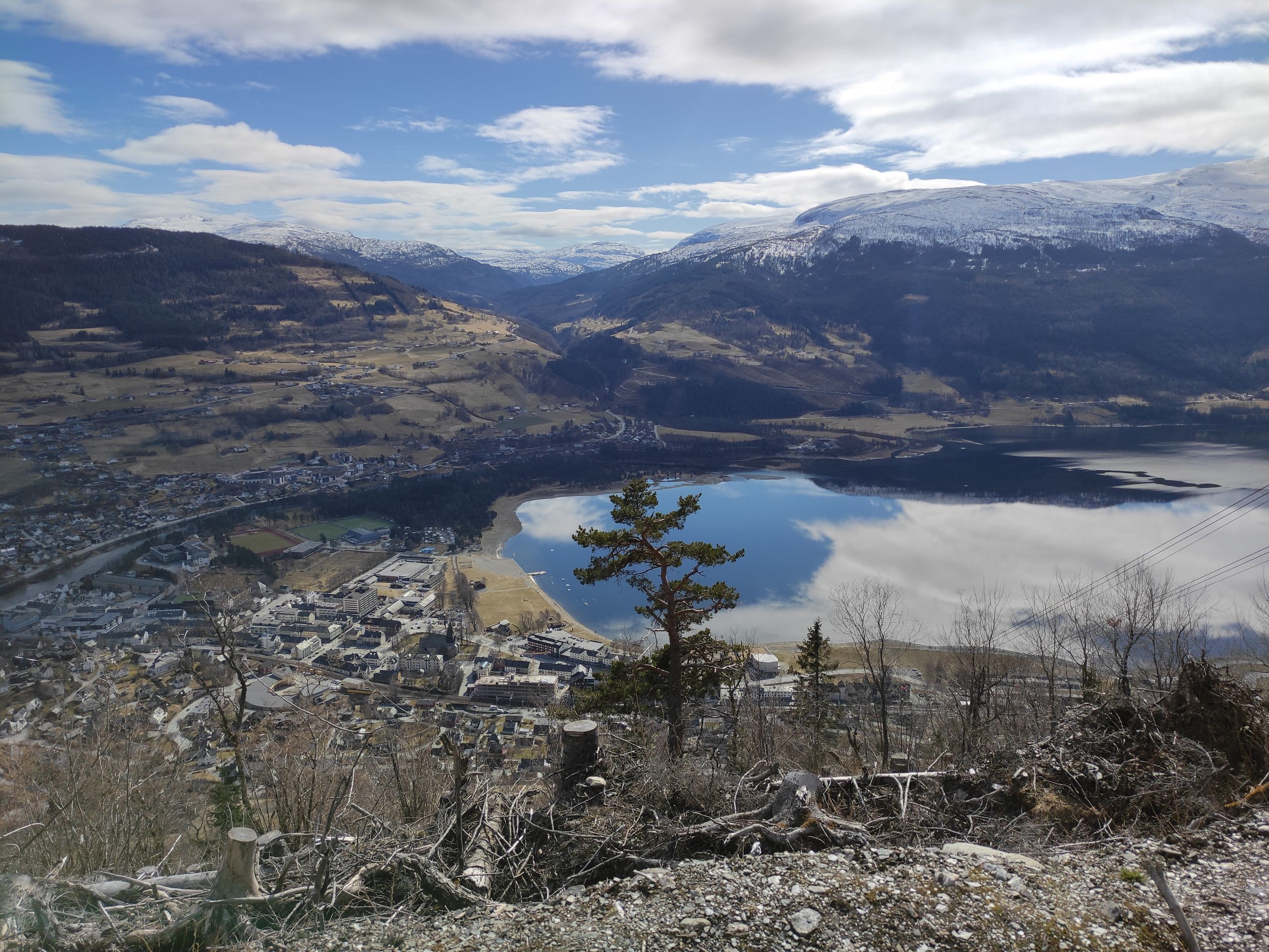
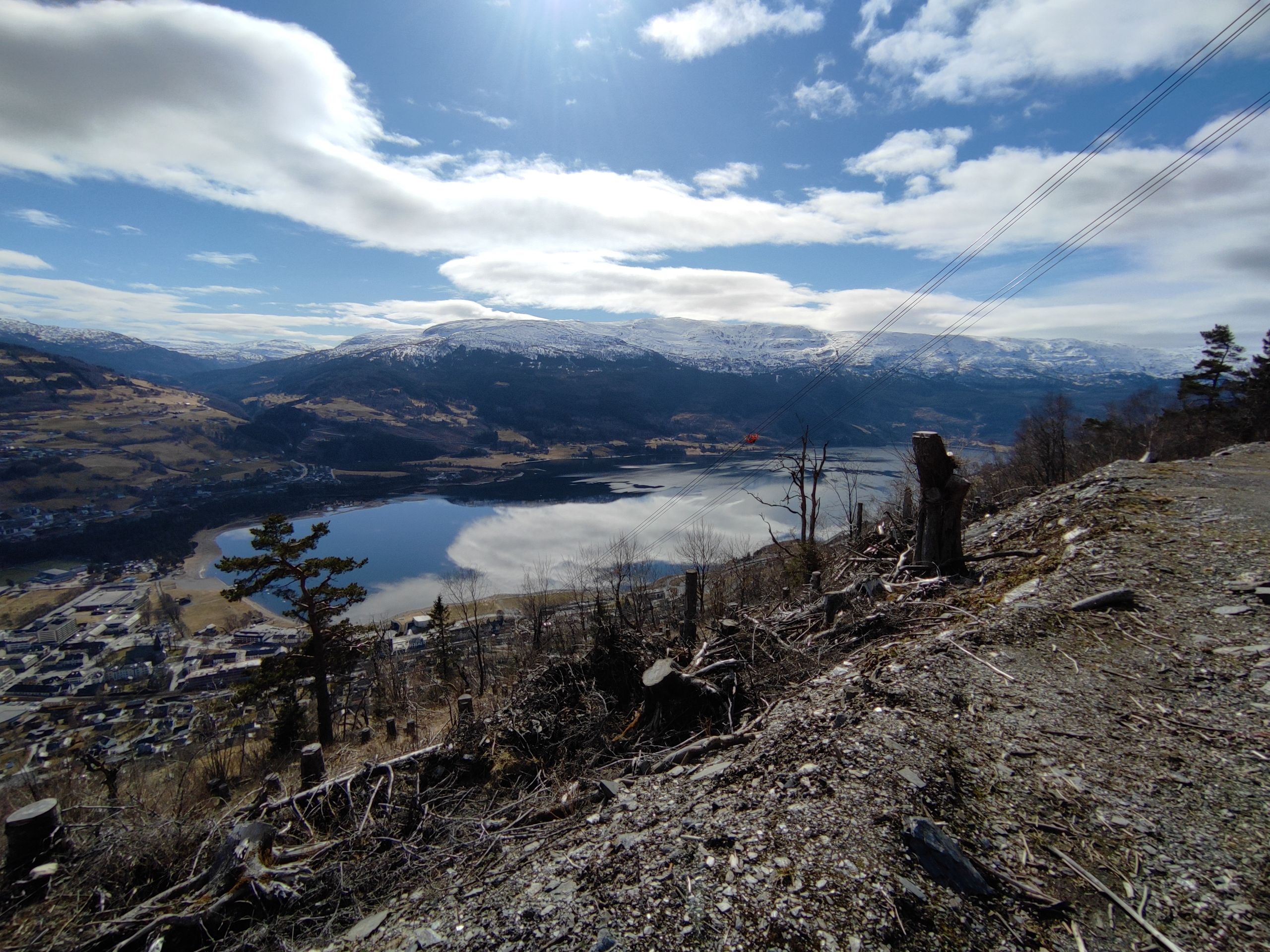
We take a different route back to the city as we want to visit a well-known stone staircase with about 900 steps, the 'Stoltzekleiven'. We decide to hike up. It takes about 40 minutes until we reach the top, and I can't remember the last time I was so out of breath. But the view is definitely worth it, as you have a view of Bergen, the fjord, and you can even see the sea.
We enjoy the view and the sun for a while. On the way down, I can feel my knees and thighs. We walk back to the accommodation through the city. Today we have walked a total of 18 km.
Bergen and its mountains: From mountain to mountain in Bergen, or: hiking in the mountains
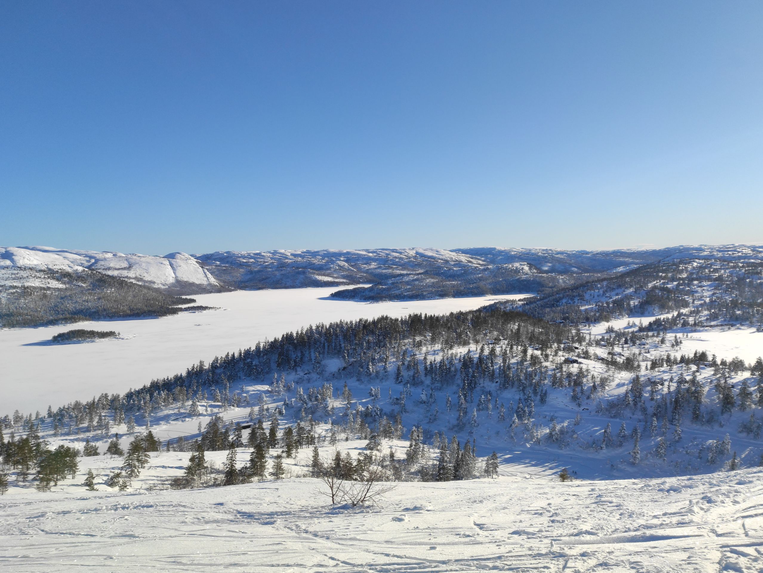
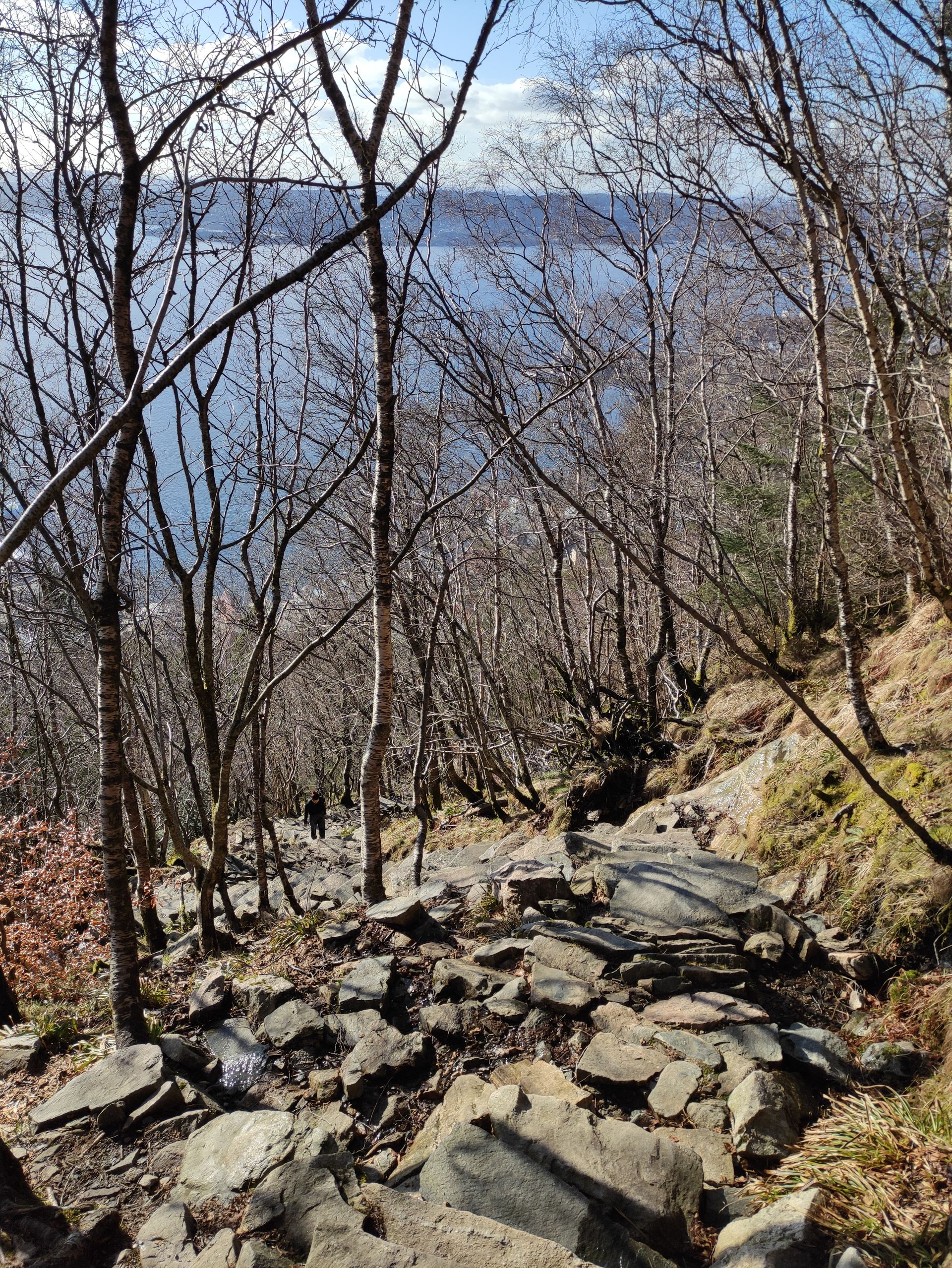
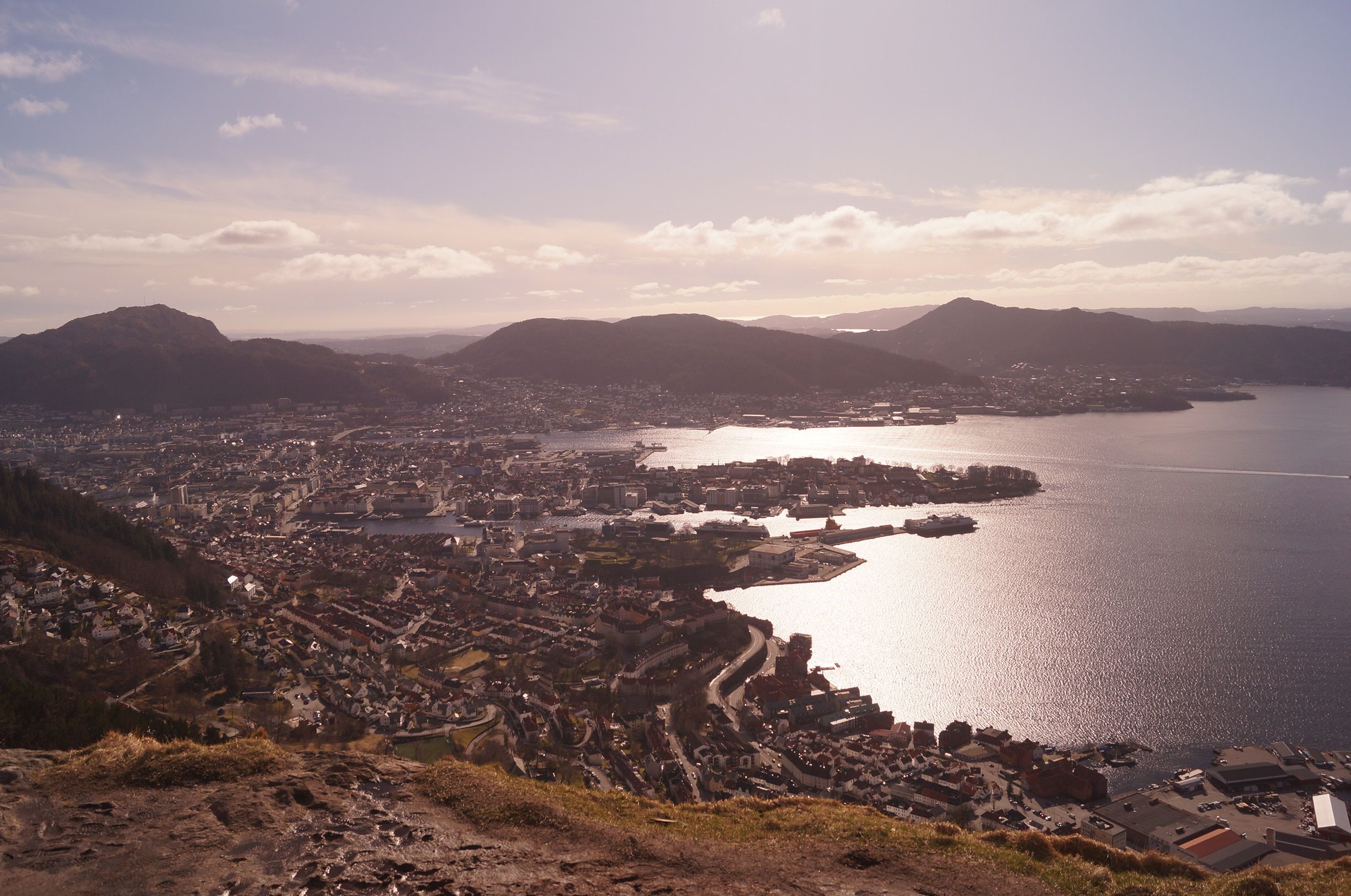
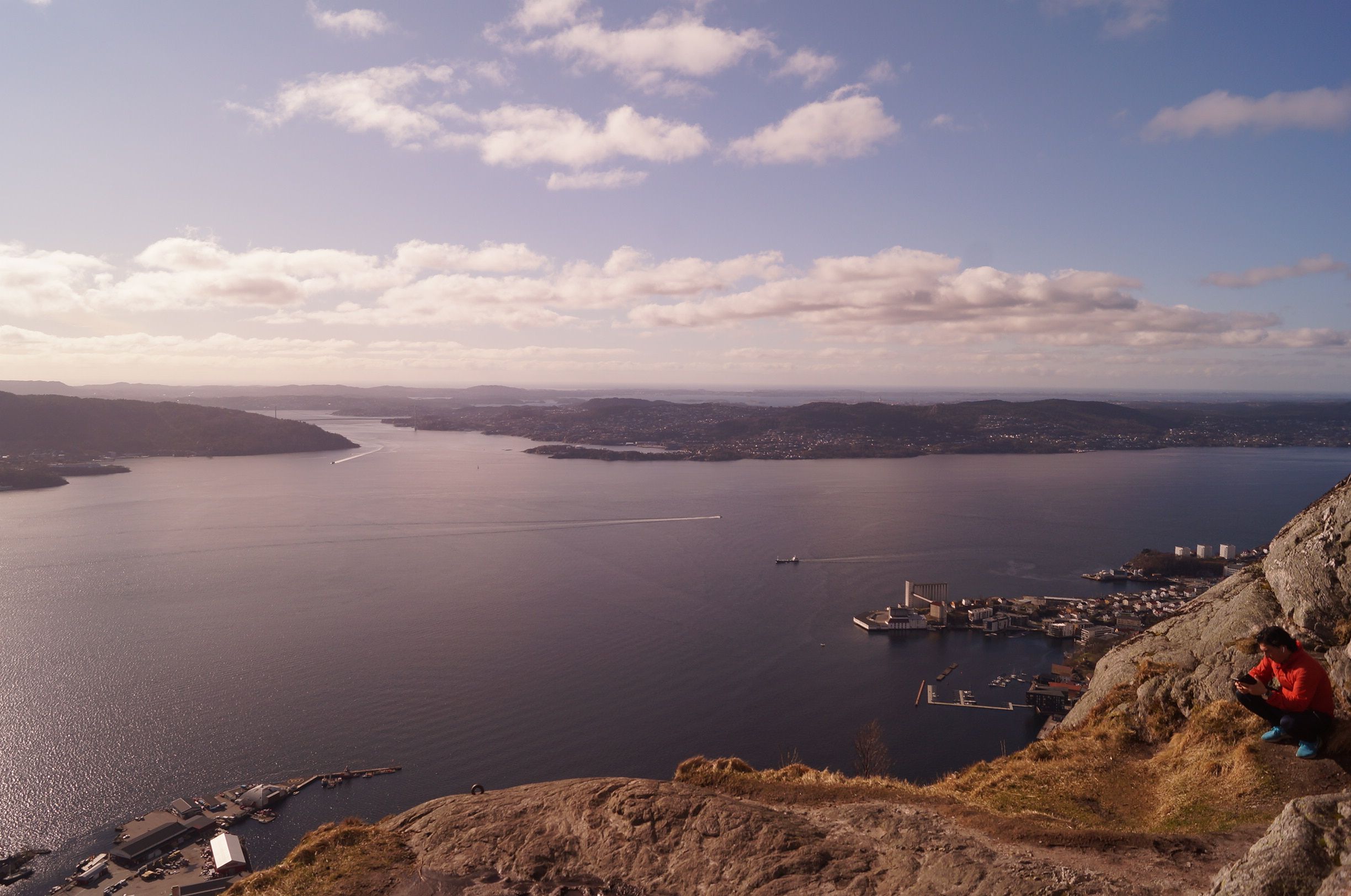
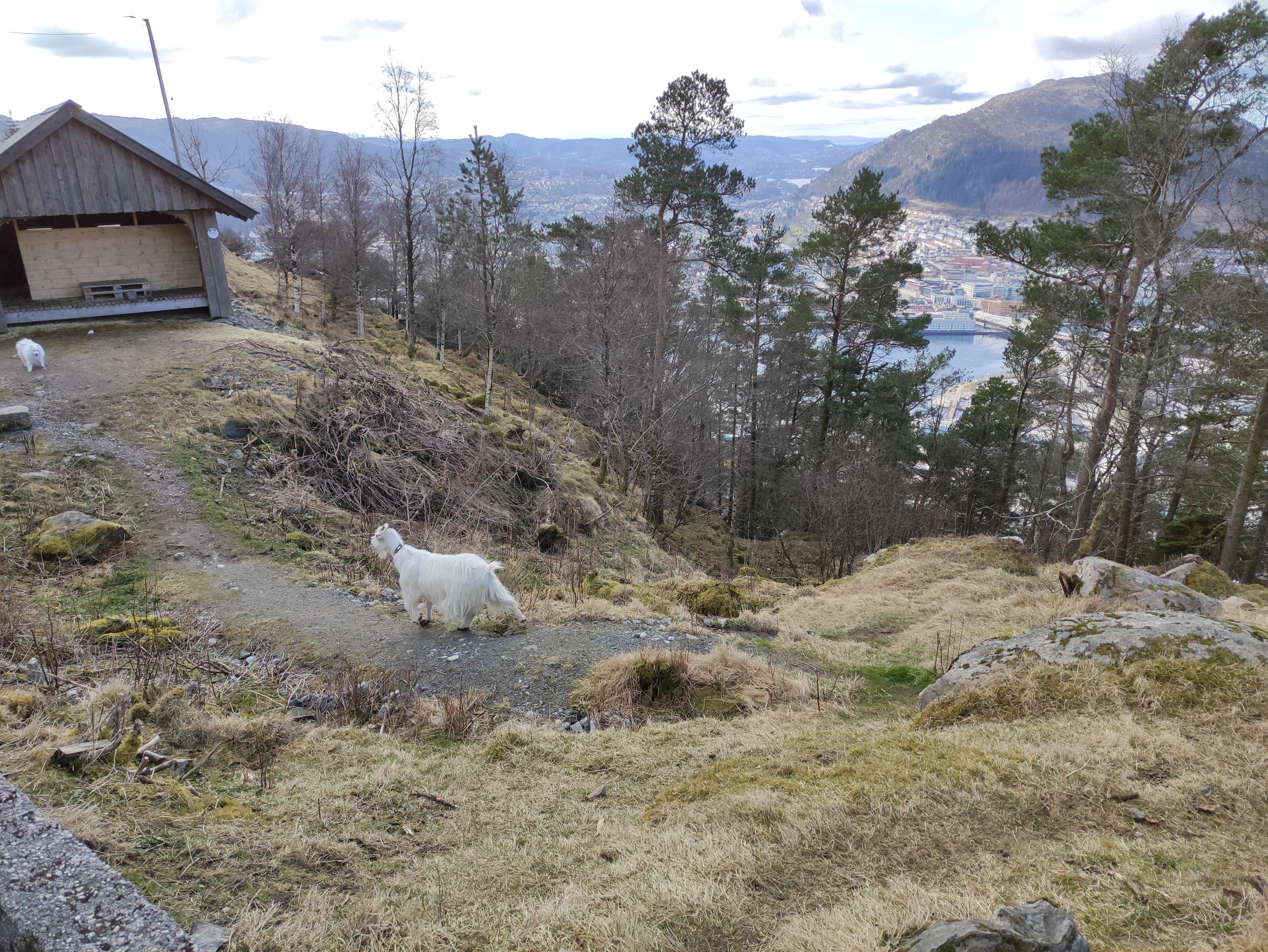
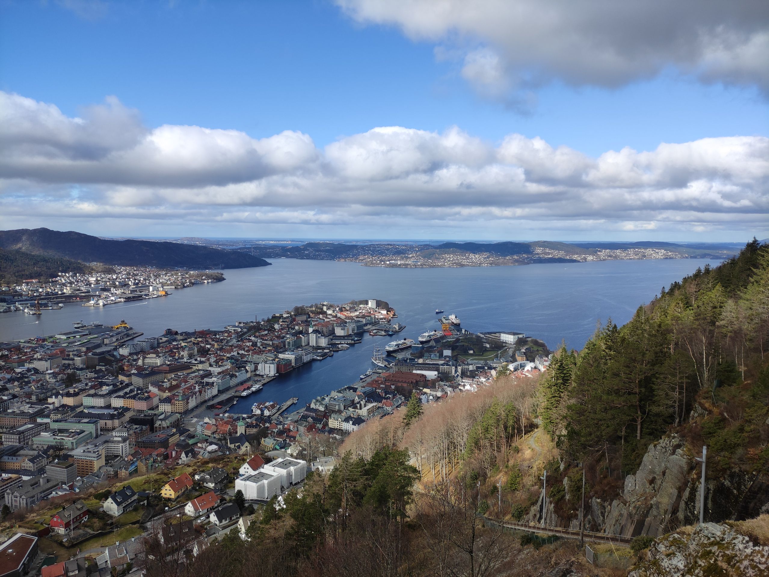
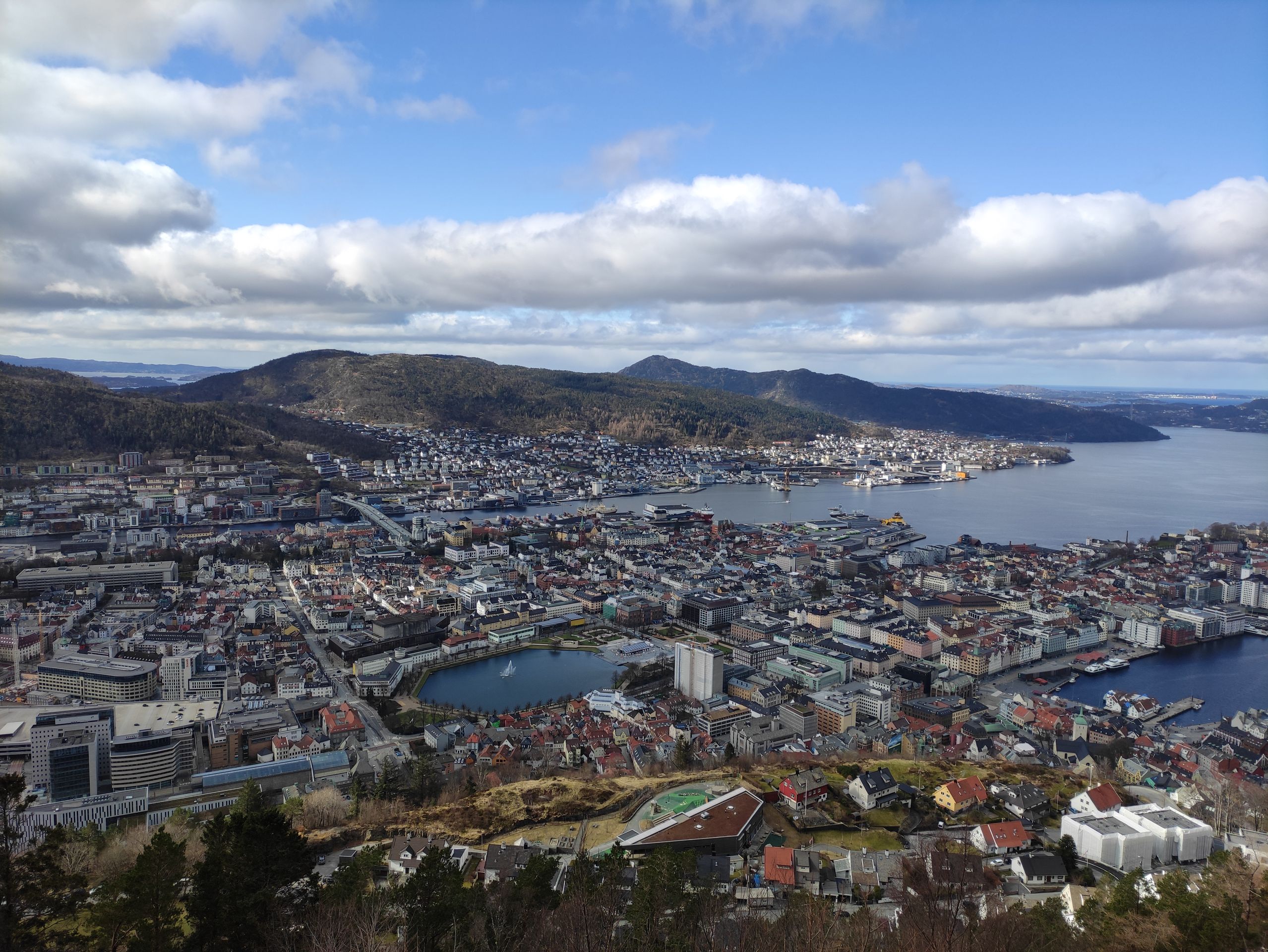
On the third day that we spend in Bergen, we want to hike from the mountain Fløyen (320 m above sea level) to the summit of another mountain, the mountain Ulriken (643 m above sea level). The hike is 13 km long and is expected to take four to six hours. However, instead of taking the funicular up to Fløyen, as planned for the hike, we decide to hike up. By the time we find the starting point of the hike and reach the top, we are already out of breath. When we reach the top, we have a magnificent view over Bergen and take a short lunch break near the cable car station.
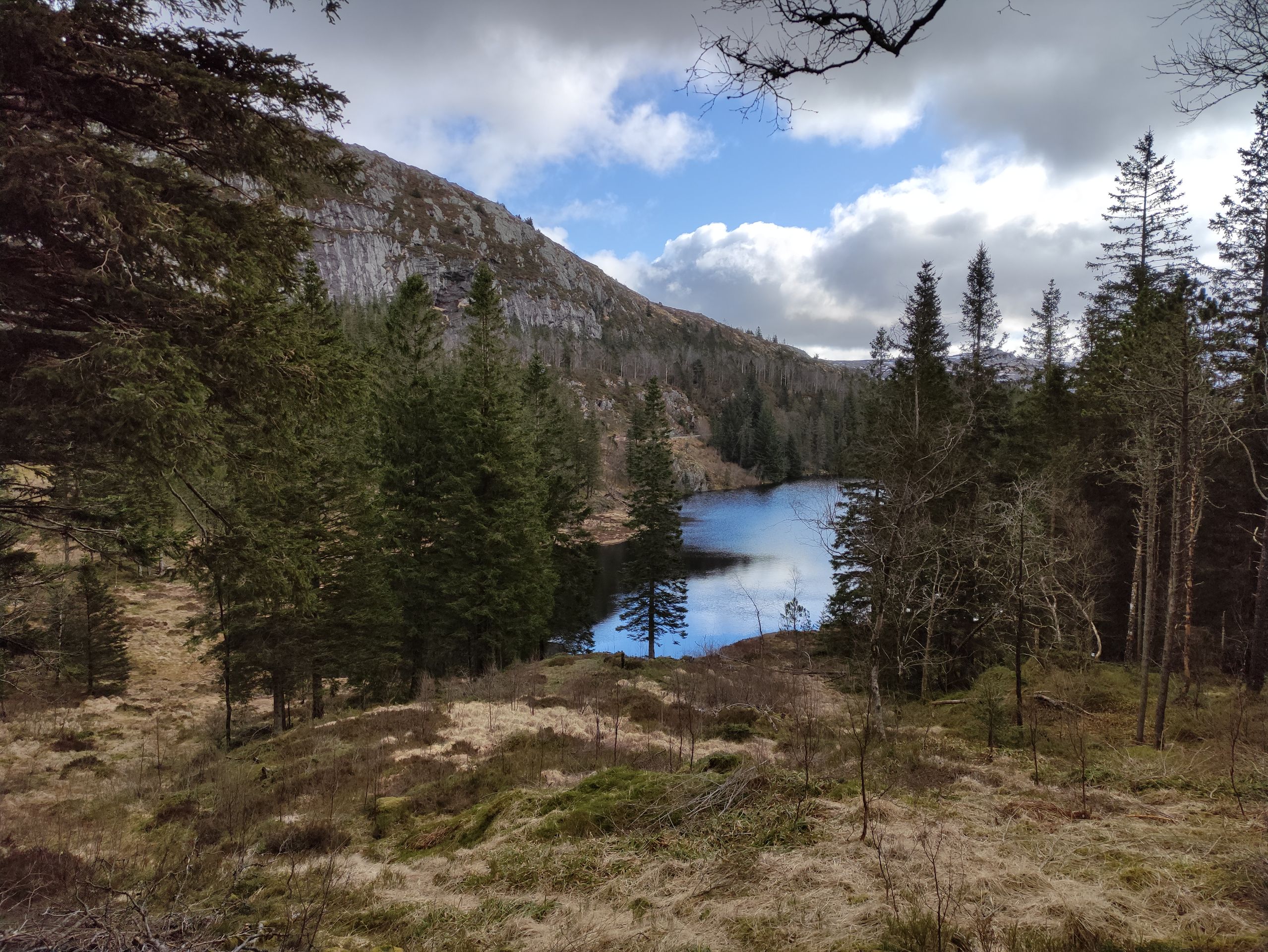
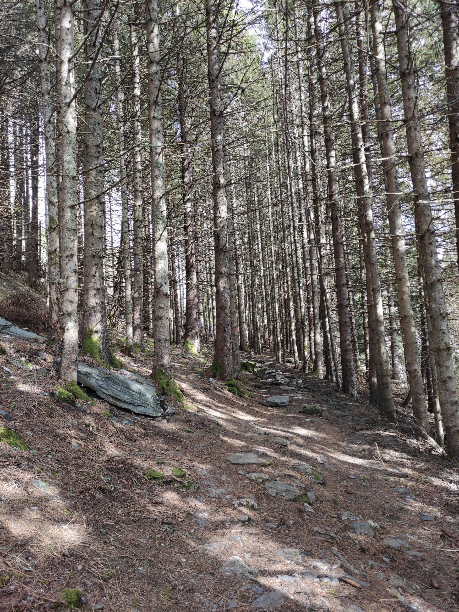
Then we start the 13 km long hike. As the trail leads away from the cable car station, we initially walk on a paved and slightly wider path, which is quite busy. After a short time, the trail turns into a proper hiking trail. It goes up and down through an impressively beautiful landscape.
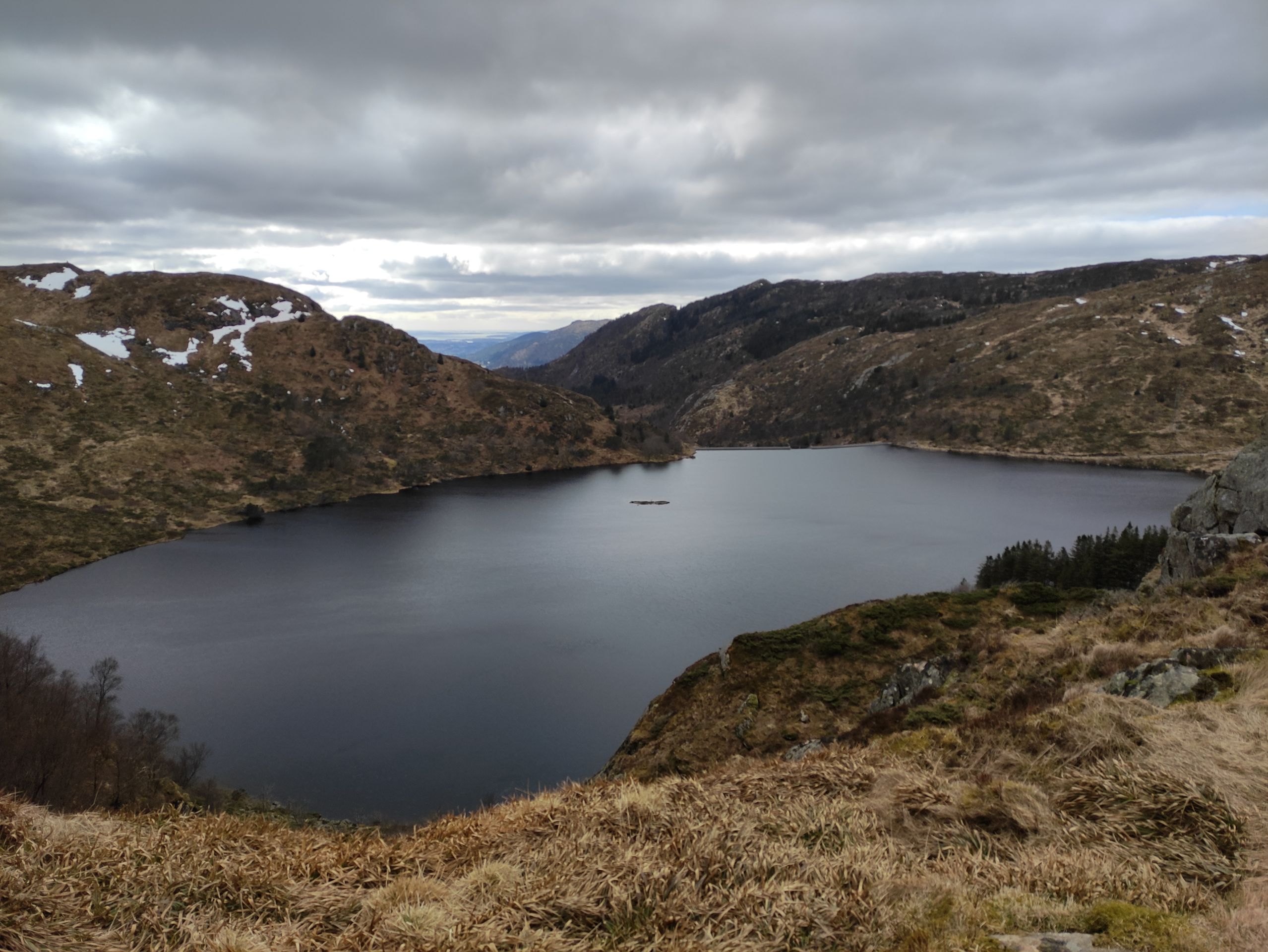
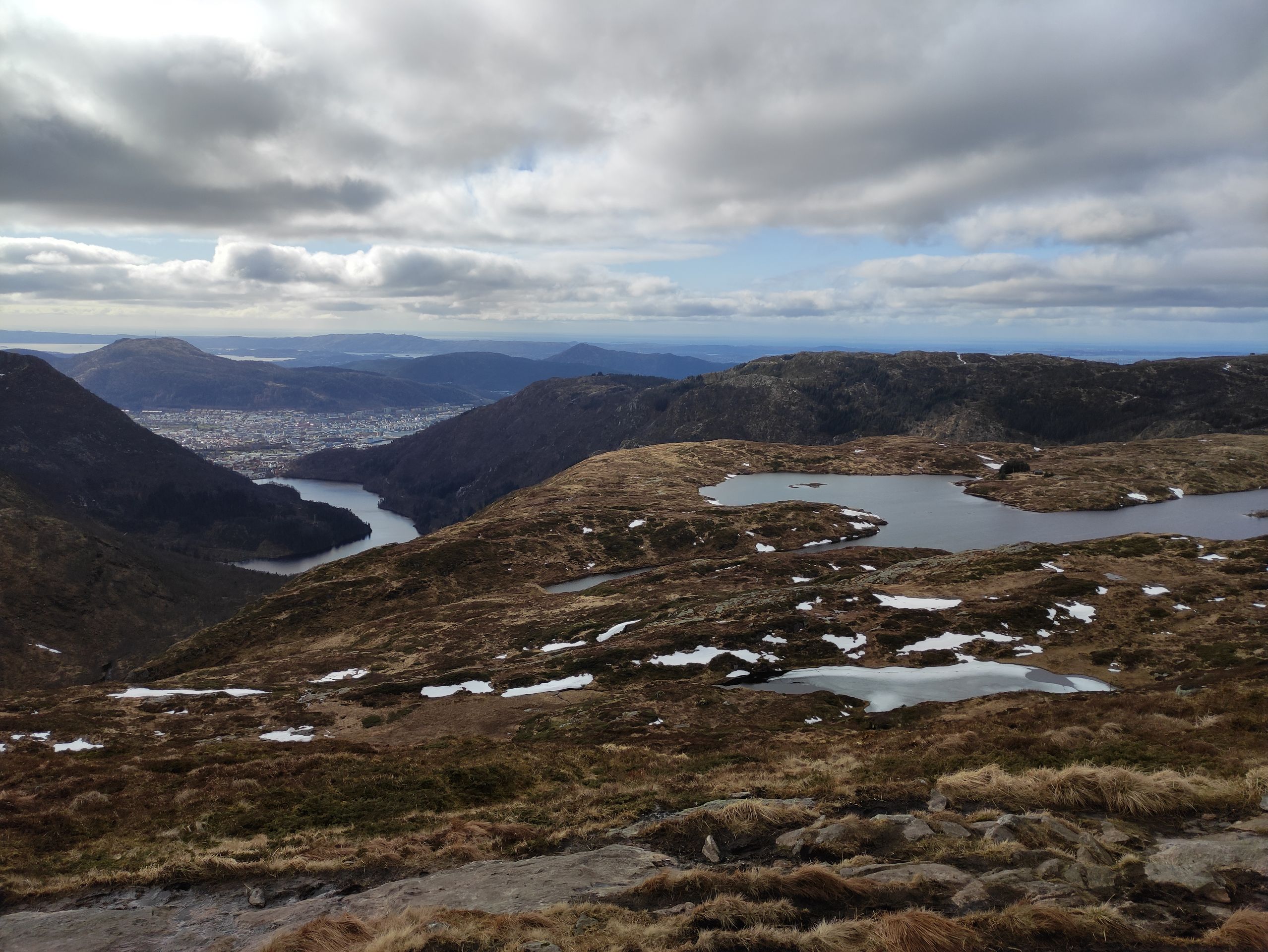
However, towards the end, the hike becomes quite long, as everything looks similar up in the highlands of Vidden, and the surroundings hardly change. There are quite a few people on the hiking trail, probably because it's Easter. We are even overtaken by many joggers. It's a mystery to me how you can jog on such hiking trails - the Norwegians are crazy! After a few hours, we finally reach the summit of Mount Ulriken. There is also a cable car station there. Unfortunately, we cannot take the cable car down as it is temporarily closed for renovation. So we take another break - again with a beautiful view - before we start the descent. The descent is more challenging than expected, as the path suddenly turns into a mountain bike trail and ends in streams. It is steep and slippery, and in the end, our legs are quite sore. We have hiked a total of 25 km today and were on the go for almost nine hours. I have blisters on my feet, but fortunately, someone invented blister plasters.
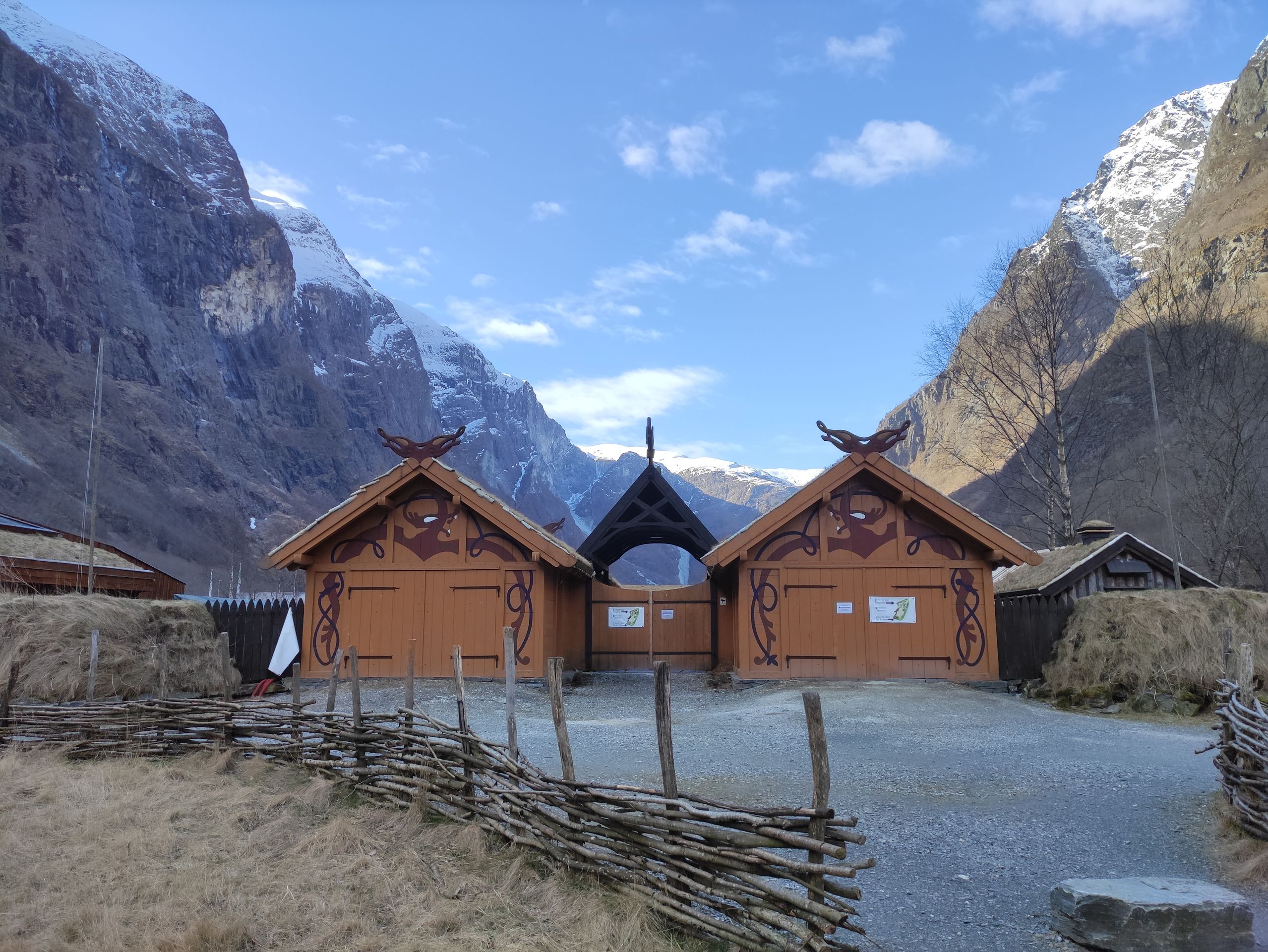
Stave church and the search for a place to sleep
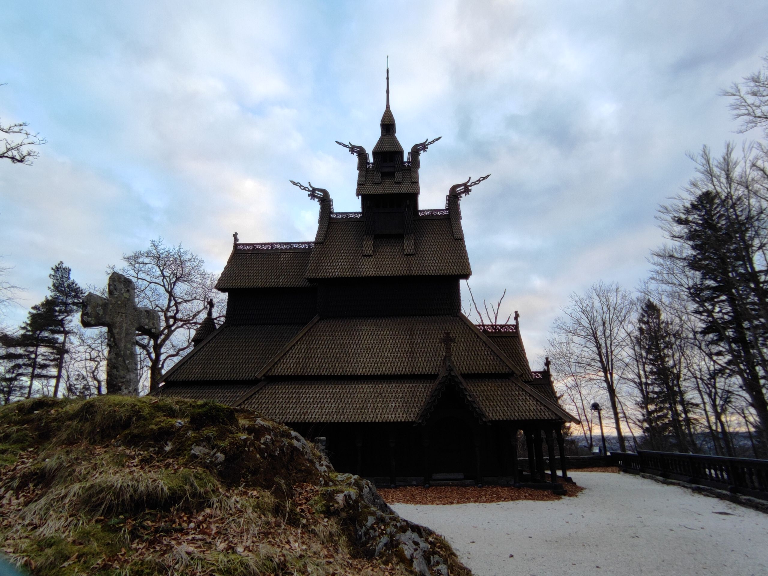
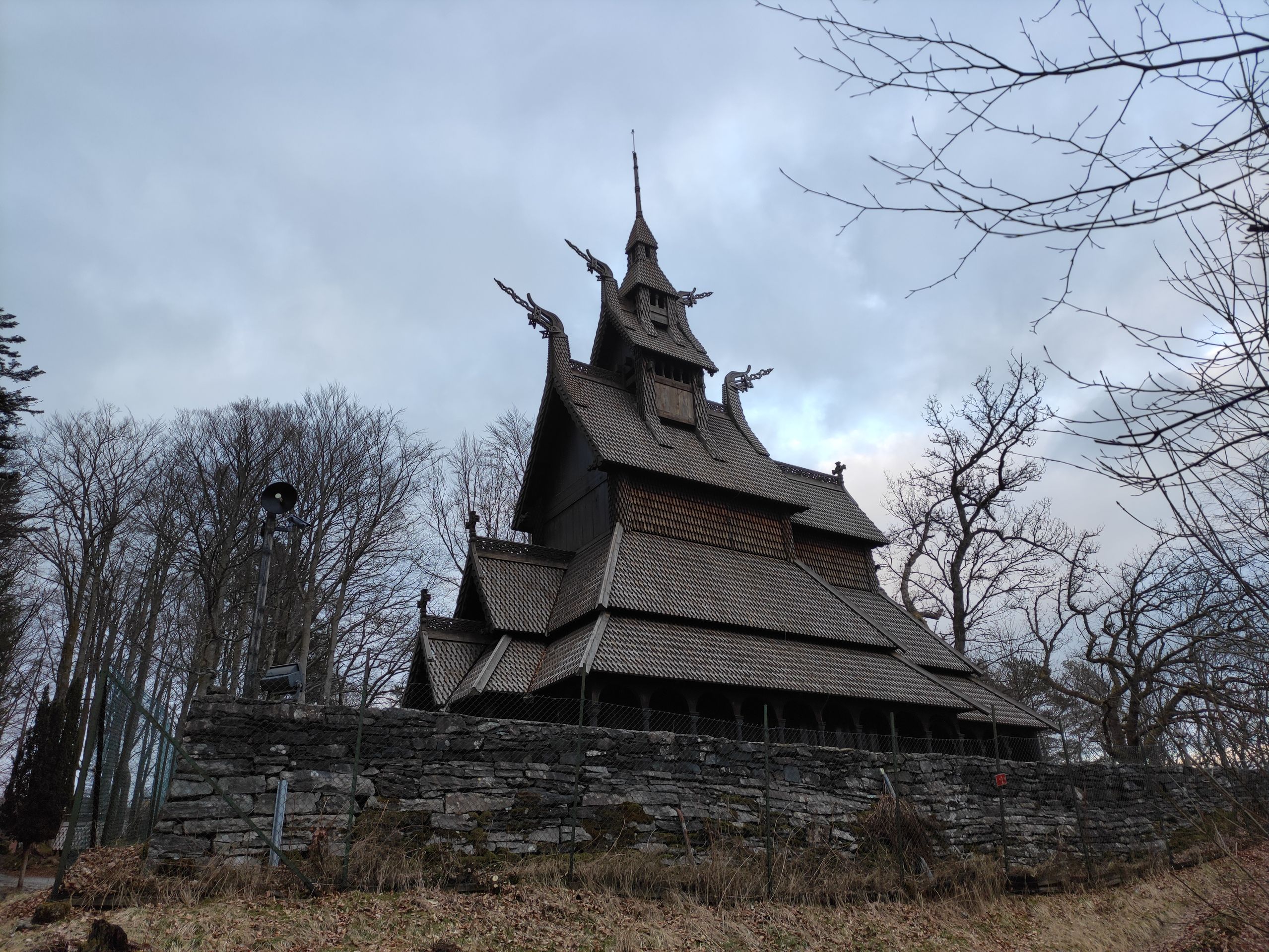
When we arrive at our accommodation after our hike in the early evening, we pack our things and load the car. Tonight, we will leave Bergen and continue to the Sognefjord, where we plan to go hiking for a few days. However, on the outskirts of Bergen, we stop briefly to visit the 'Fantoft Stave Church'. Unfortunately, it is closed - like all the churches we have seen so far - so we can only admire it from the outside. Nevertheless, it is definitely worth a visit as it creates a very mystical atmosphere!
The 'Fantoft Stave Church' is a replica of the former Fortun Stave Church, which was built in 1150 near the Sognefjord. Stave churches are a special type of building; they are characterized by the name-giving stave construction (a framework of vertical posts, called staves, on which the entire roof structure rests) and are entirely made of wood. Stave churches were mainly found in Scandinavia; Norway still has 33 of these buildings - one of them is the 'Fantoft Stave Church'. Researchers estimate that there were once nearly 2000 stave churches in Norway...
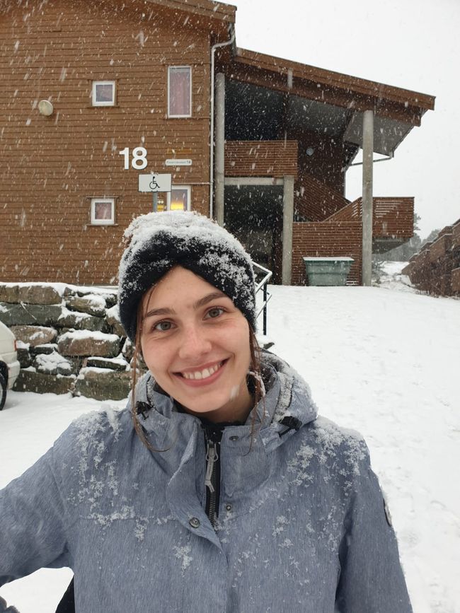
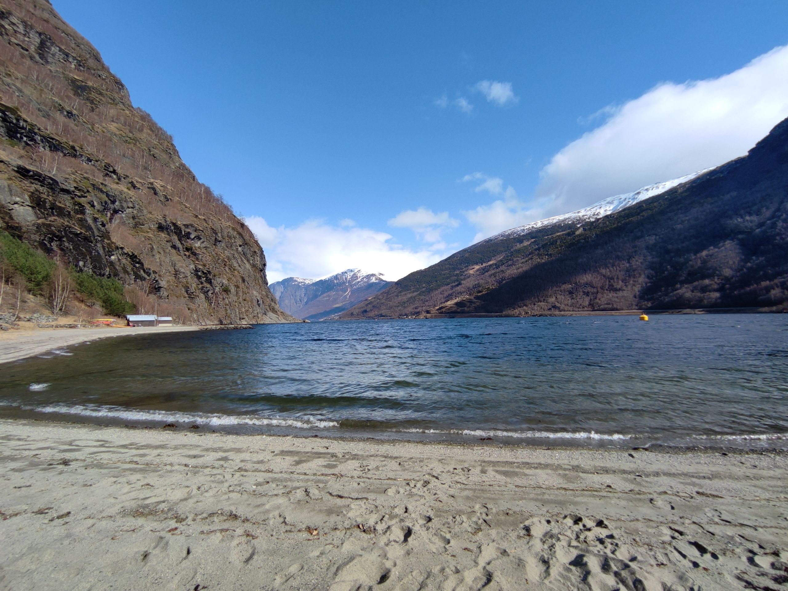
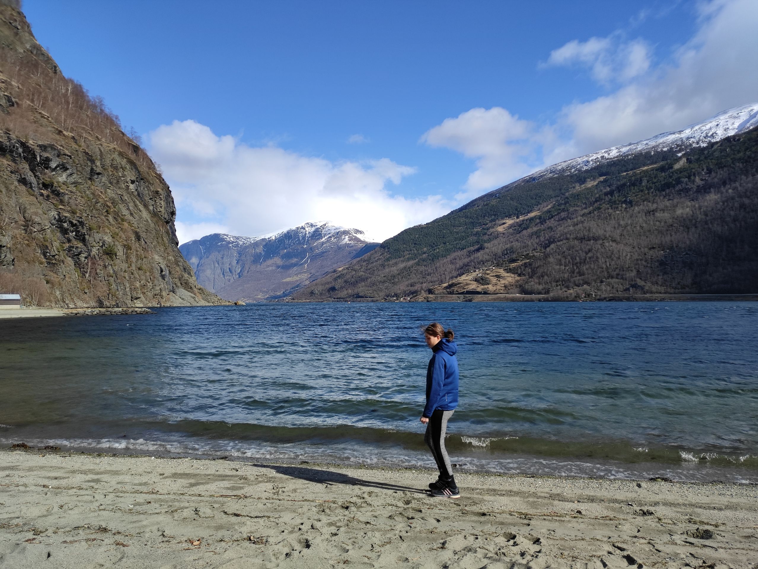
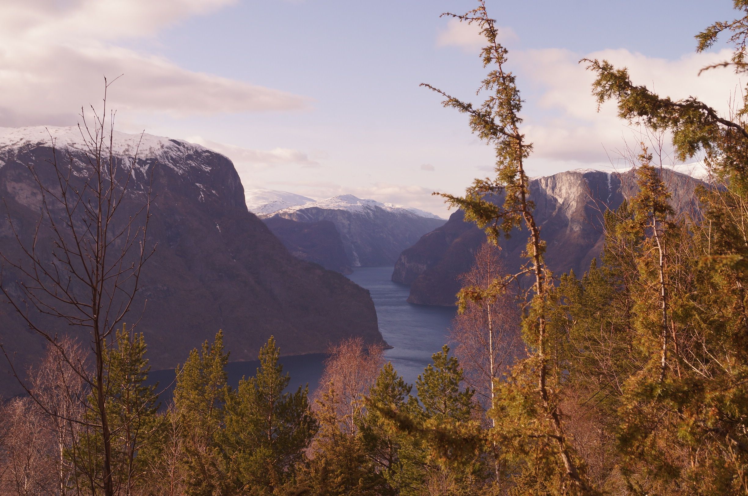
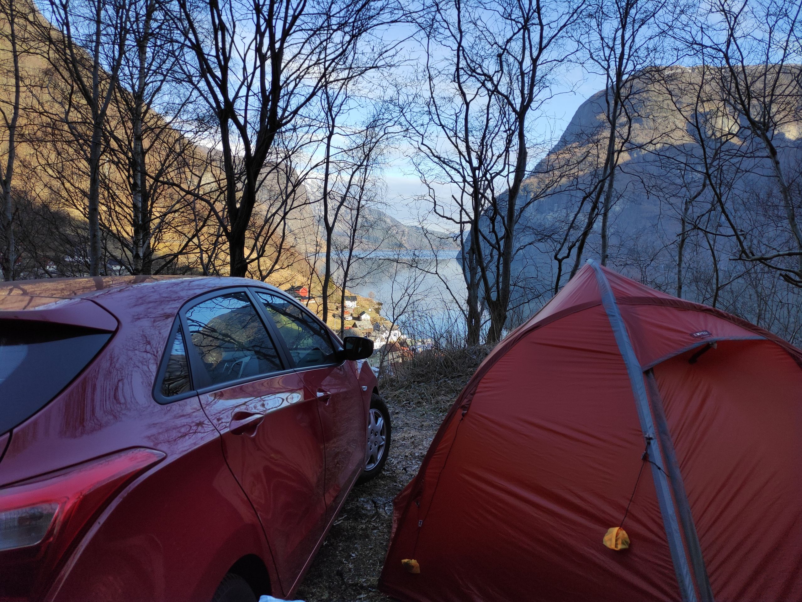
After the short stop, we continue driving to the village of Flåm, which is located at the end of the Aurlandsfjord. The Aurlandsfjord is one of the many branches of the large Sognefjord. It takes about two and a half to three hours to drive from Bergen to Flåm. Initially, our plan was to camp wild for the remaining nights. For Flåm, we had already chosen the beach right by the fjord as our spot. But unfortunately, there is now a 'no camping' sign on the beach in Flåm, and it is already dark, and we cannot find an alternative. Since it is late and the search for a suitable spot remains unsuccessful in the dark, we set up our tent at the campsite, which is right next to the beach, at 11 p.m.
Flåm, Stegastein, and a failed attempt at hiking
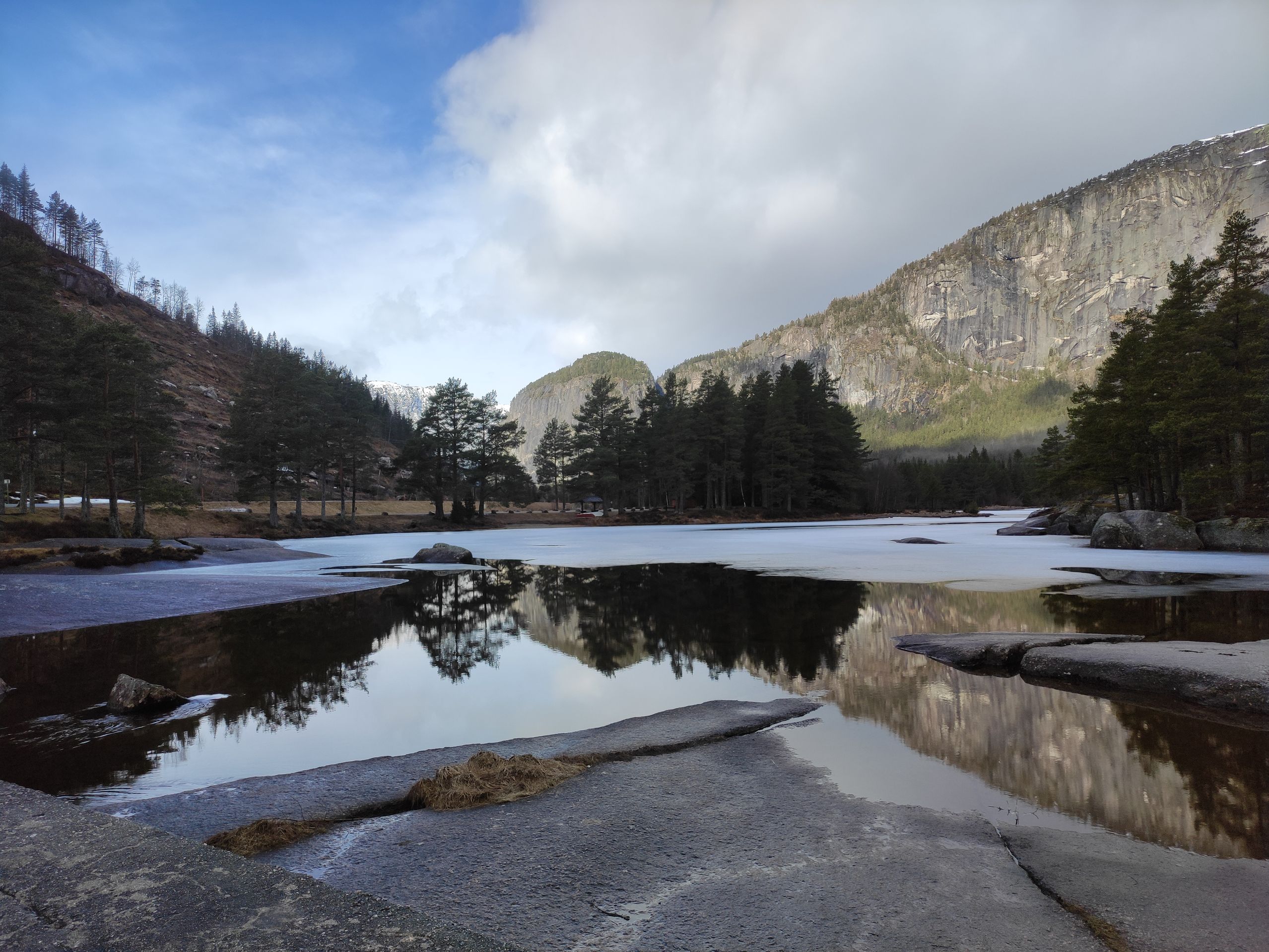
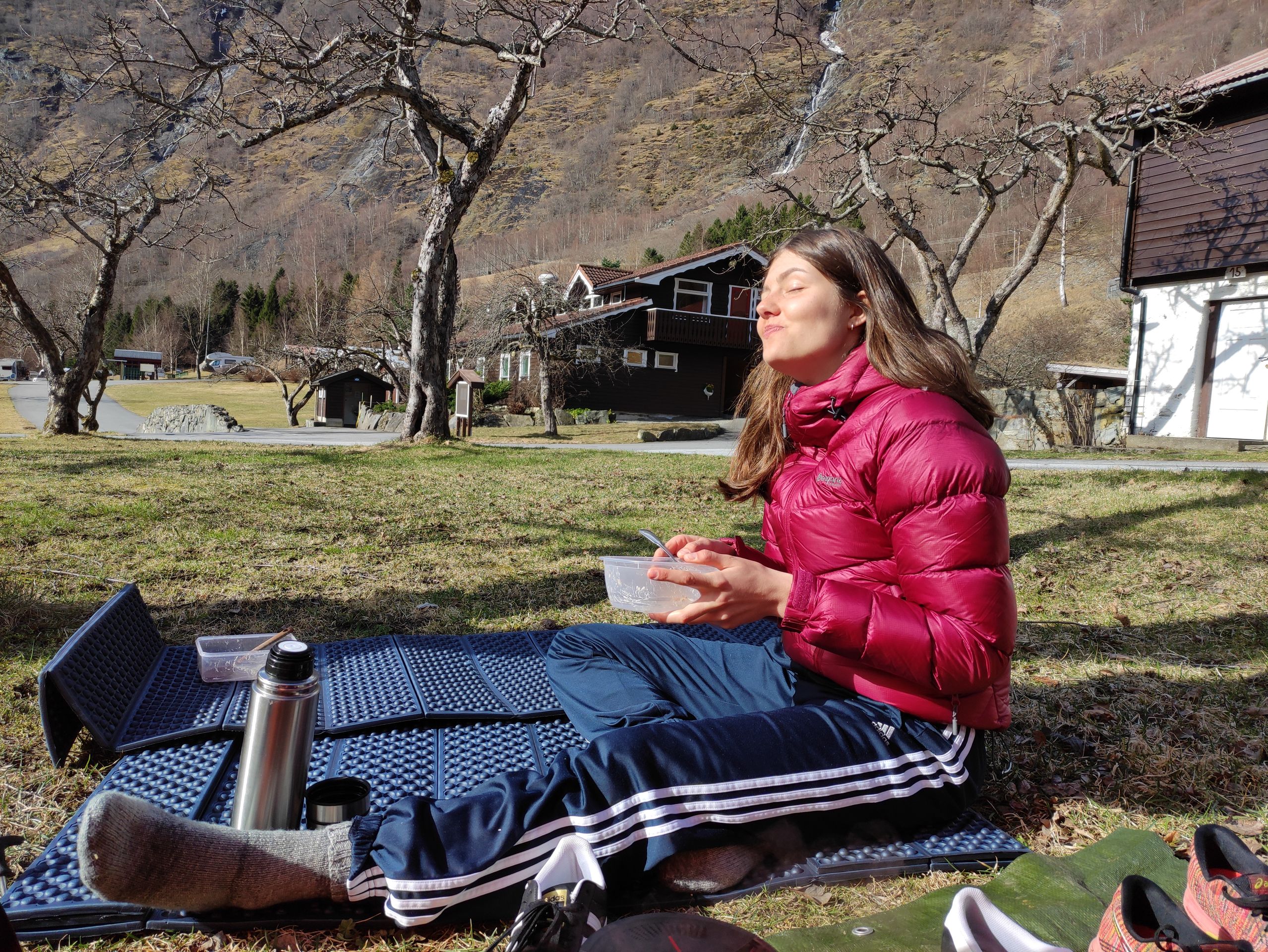
In the morning, we sleep in and wake up to bright sunshine. Now that it is light, I see that we spent the night on a beautiful apple orchard. We have breakfast in the sun and then pack up the tent.
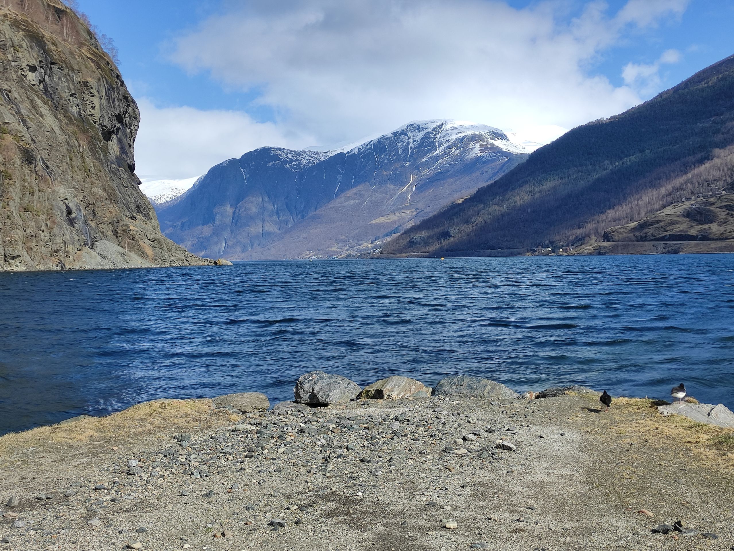
Afterwards, we walk to the beach and realize that it would have been a very nice place to spend the night. At the beach, I can observe two oystercatchers that immediately remind me of my time on the North Sea.
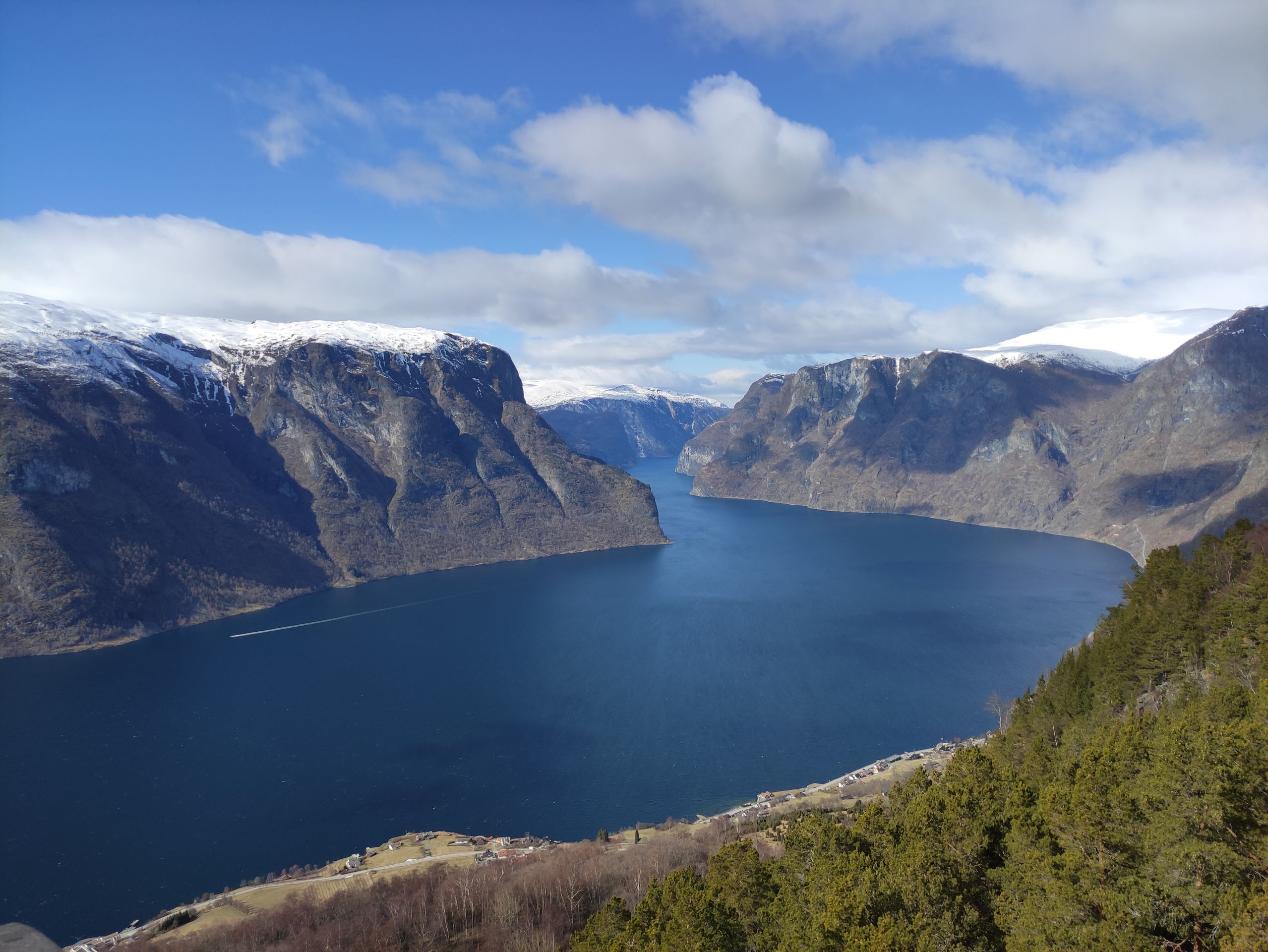
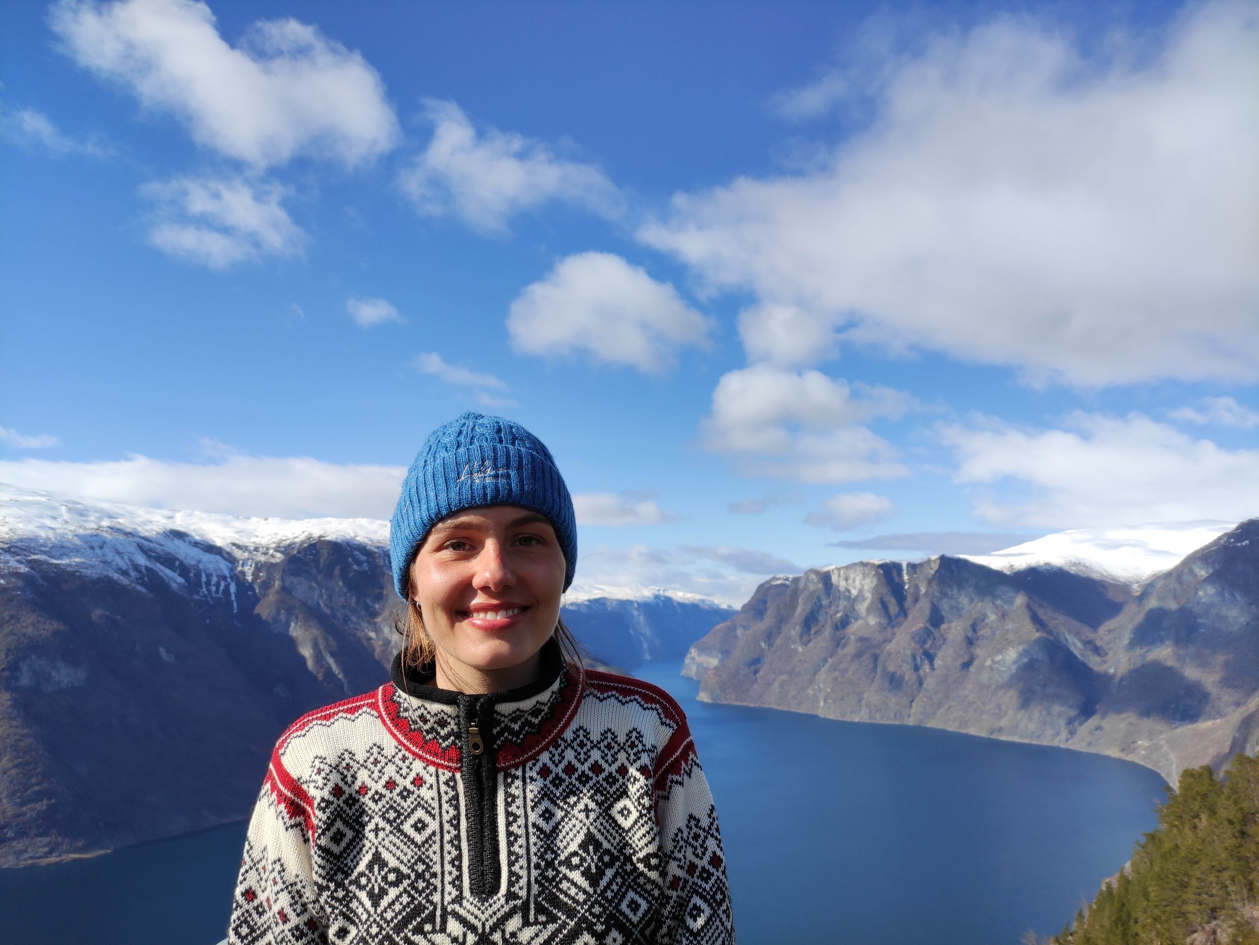
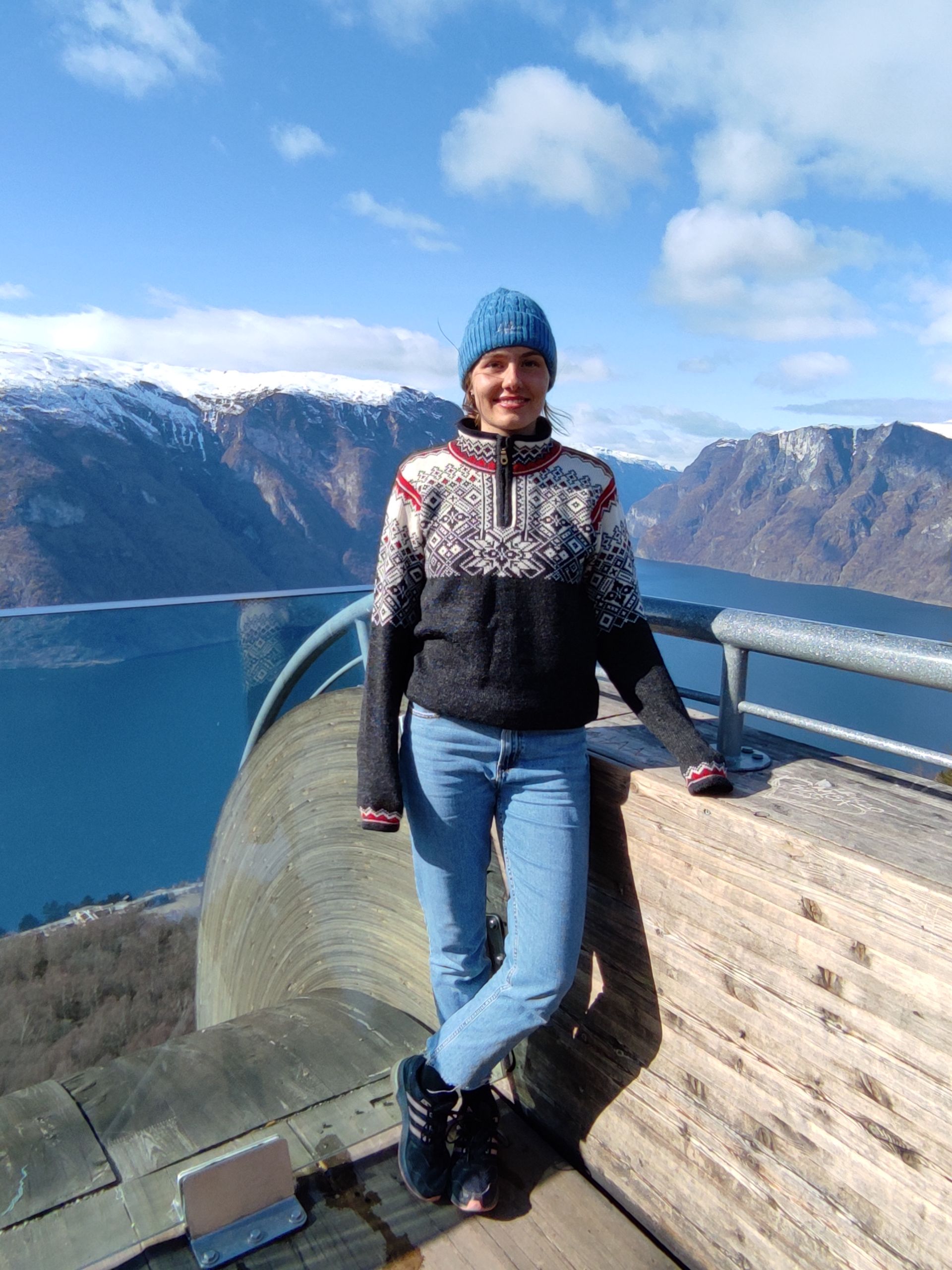
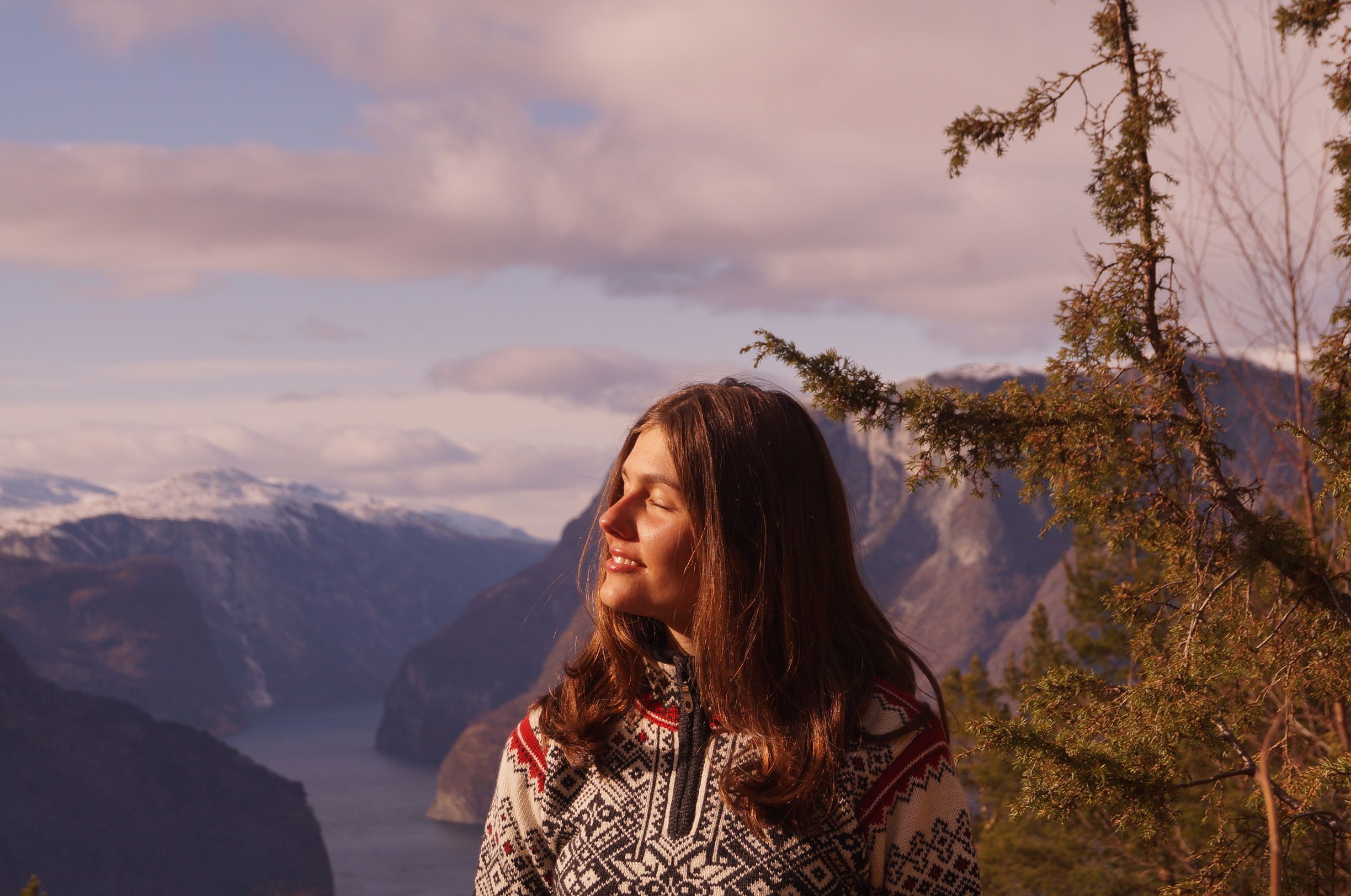
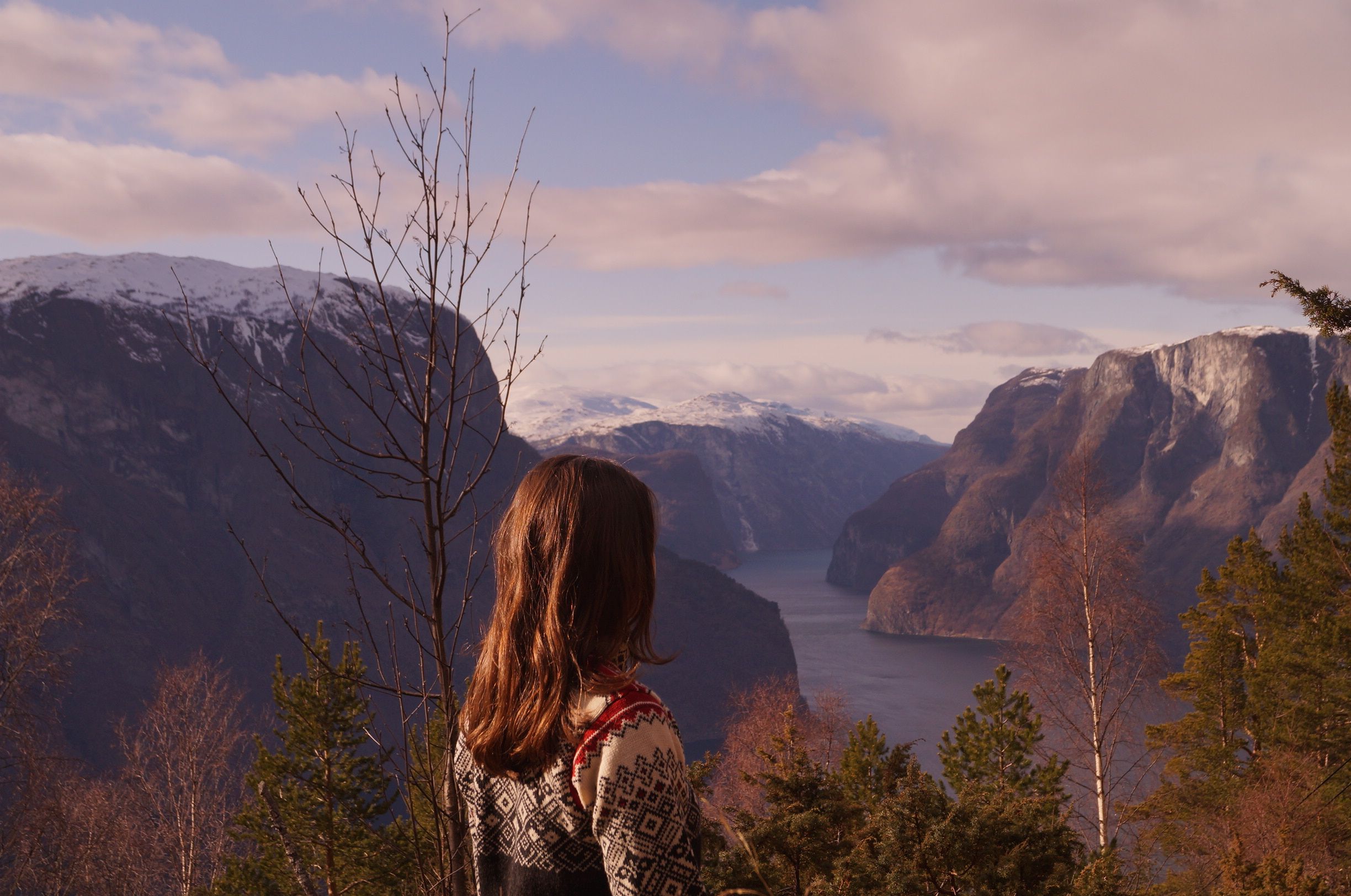
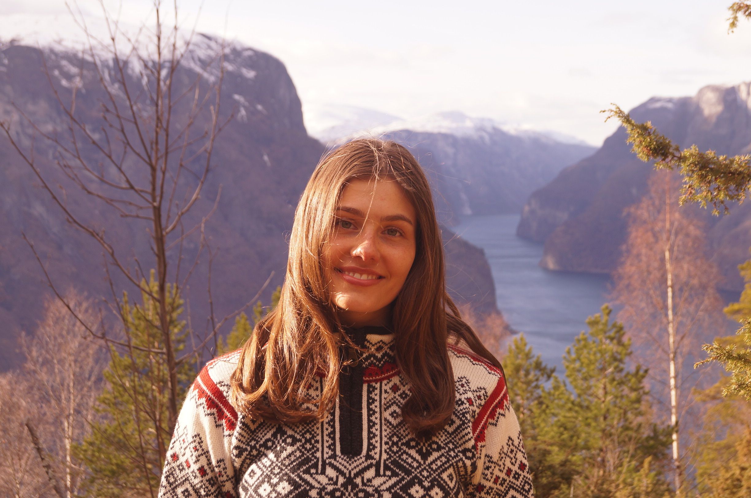
Today, we want to drive to a viewpoint above the fjord. We drive about 20 minutes up a serpentine road. Once we arrive at the top, I realize that the view from up here is one of the most beautiful views I have ever seen!
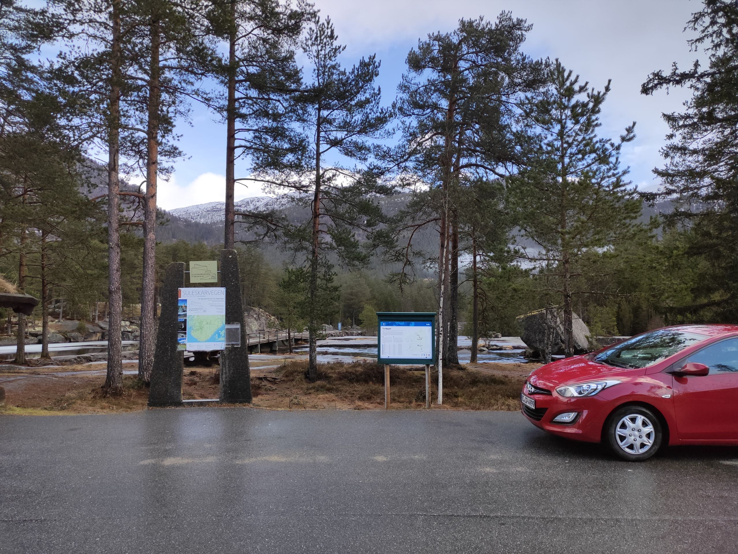
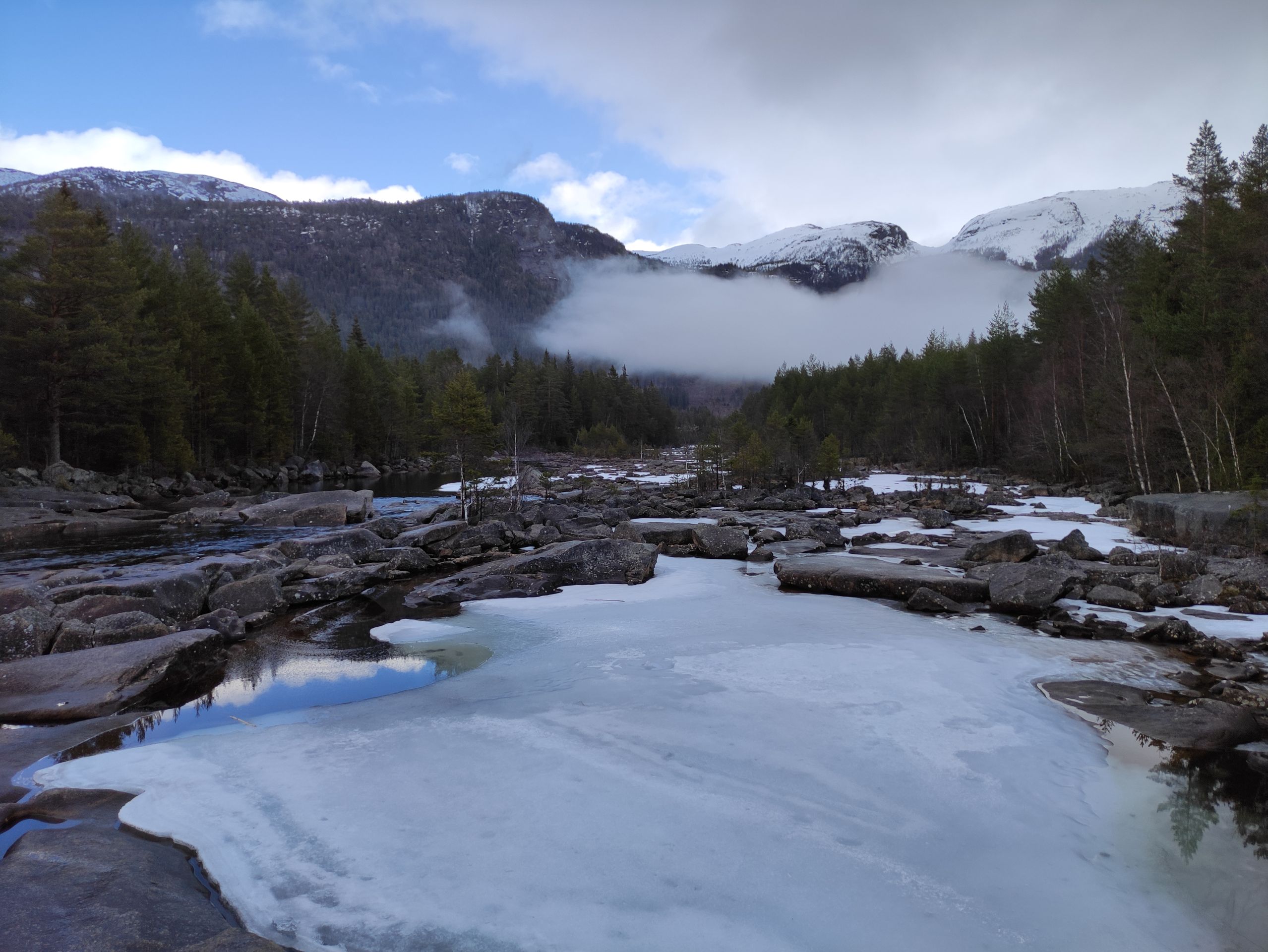
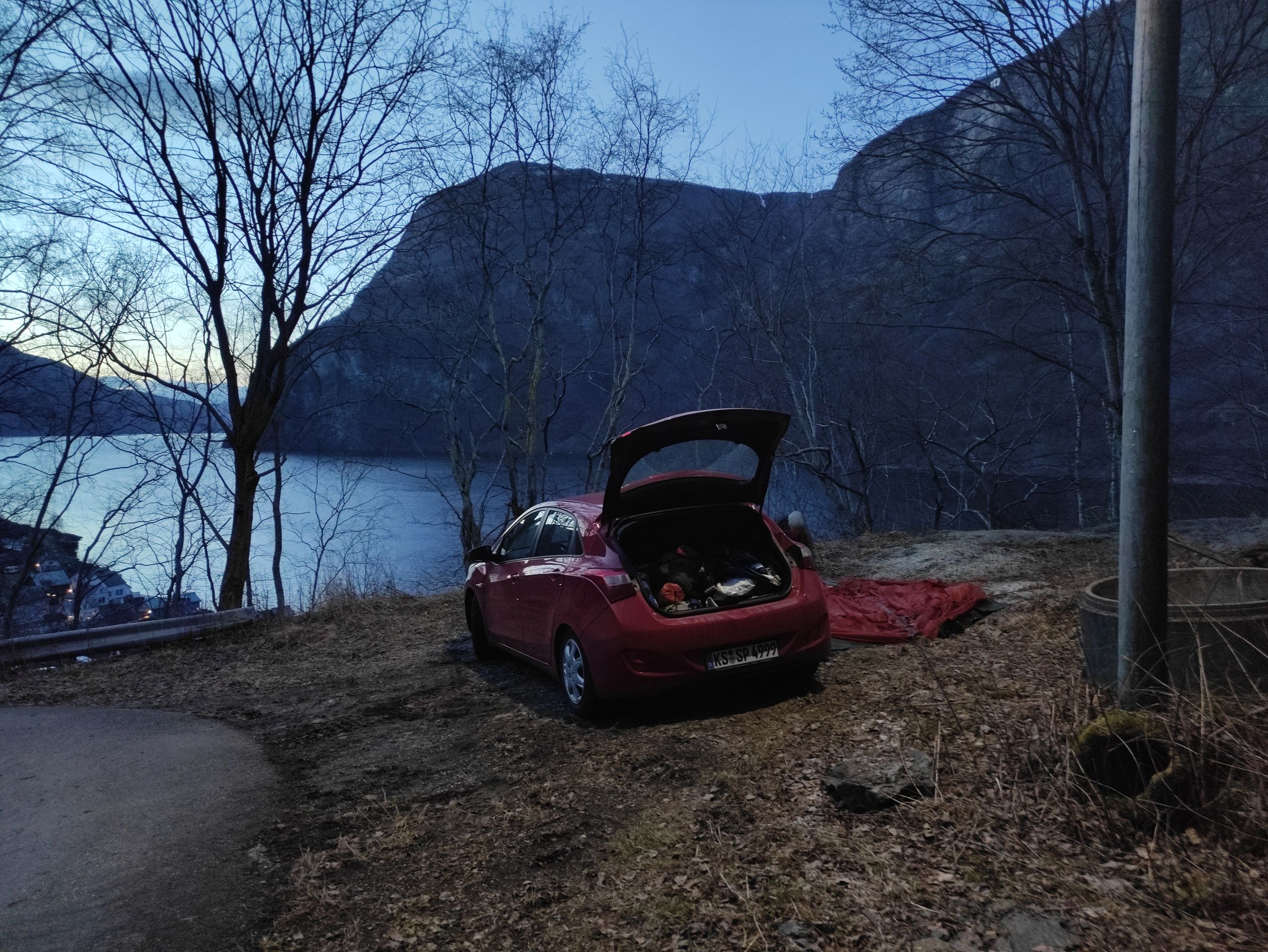
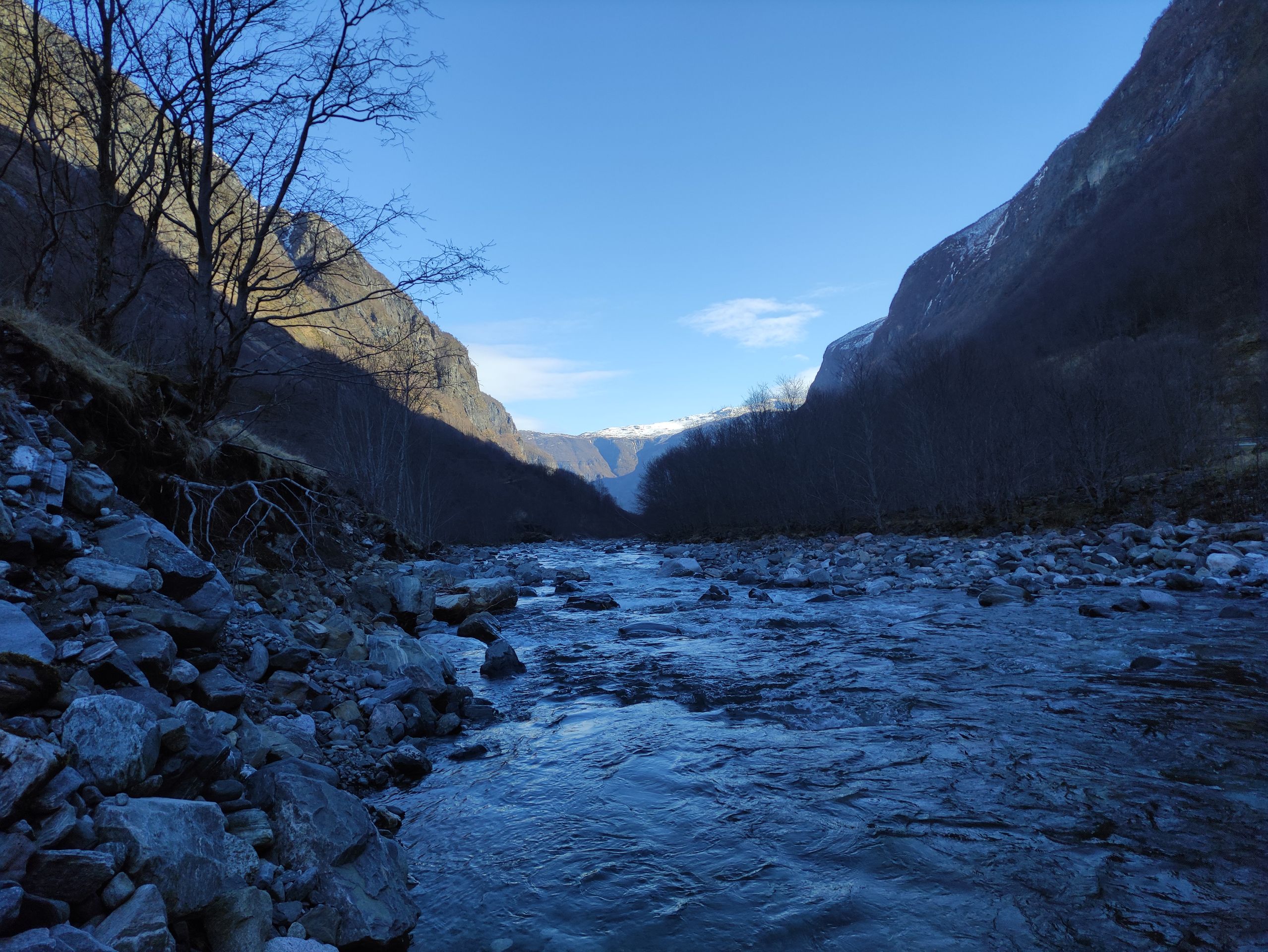
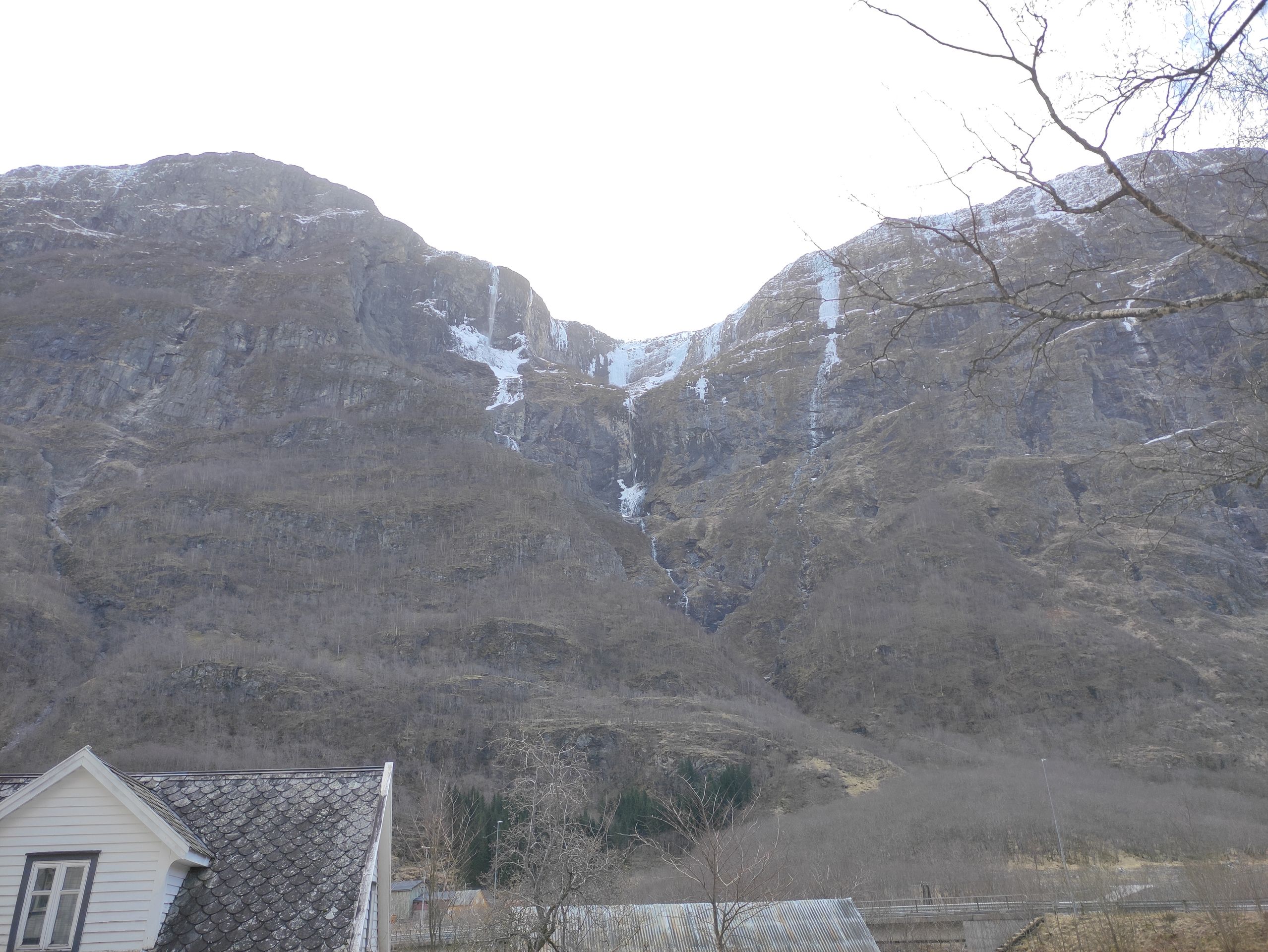
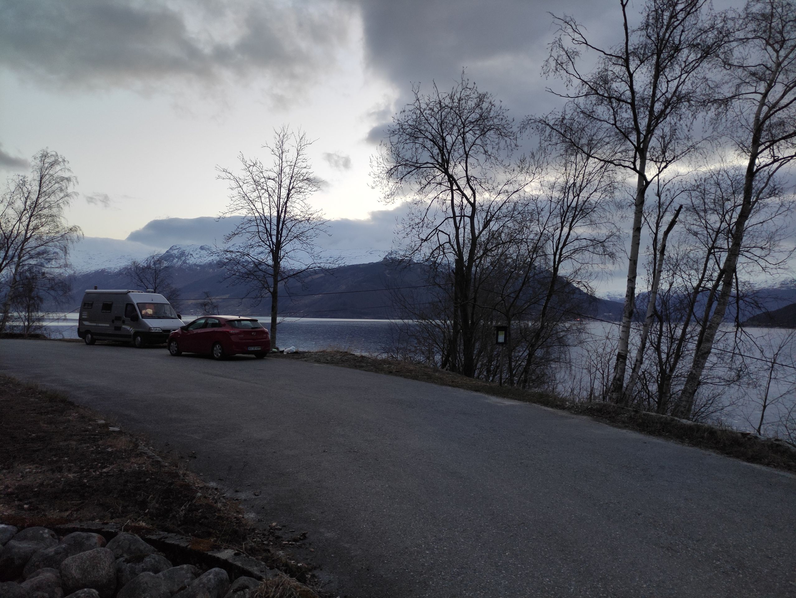
Back at the car, we search the internet for a hike for tomorrow. We search through various websites, as the tourist information offices are unfortunately closed due to the coronavirus. But we quickly realize that hiking in the Sognefjord area at this time of year could be very challenging. Most of the hikes we find are summit hikes and are only accessible in mid-summer, as there is still too much snow at this time of year. Other hikes, which lead along the lower parts of the fjord, often have their starting point in places that can only be reached by boat. Since the tourist information offices, which are currently closed, organize these boat transports to the starting points of the hikes, these hikes are also not possible. After a longer search, we finally find a hike. It is not located directly at the fjord, but it is still supposed to be beautiful and varied. The hike starts in Østerbø. Østerbø is an hour away from our current location. So we set off for Østerbø, where we plan to stay overnight and start hiking early tomorrow morning. On the way there, we drive through some tunnels. Just a few minutes before arriving in Østerbø, we drive through the last tunnel, and suddenly the world looks completely different! Everything is covered in white, there is snow up to 40 cm deep, and it is only about 0°C. Disappointed, we turn around and drive all the way back. We drive to Unredal, one place further than Flåm. There we look for a place to sleep. The search is also difficult here. In the end, we park in a bay at a bend in a serpentine road with a view of the fjord.
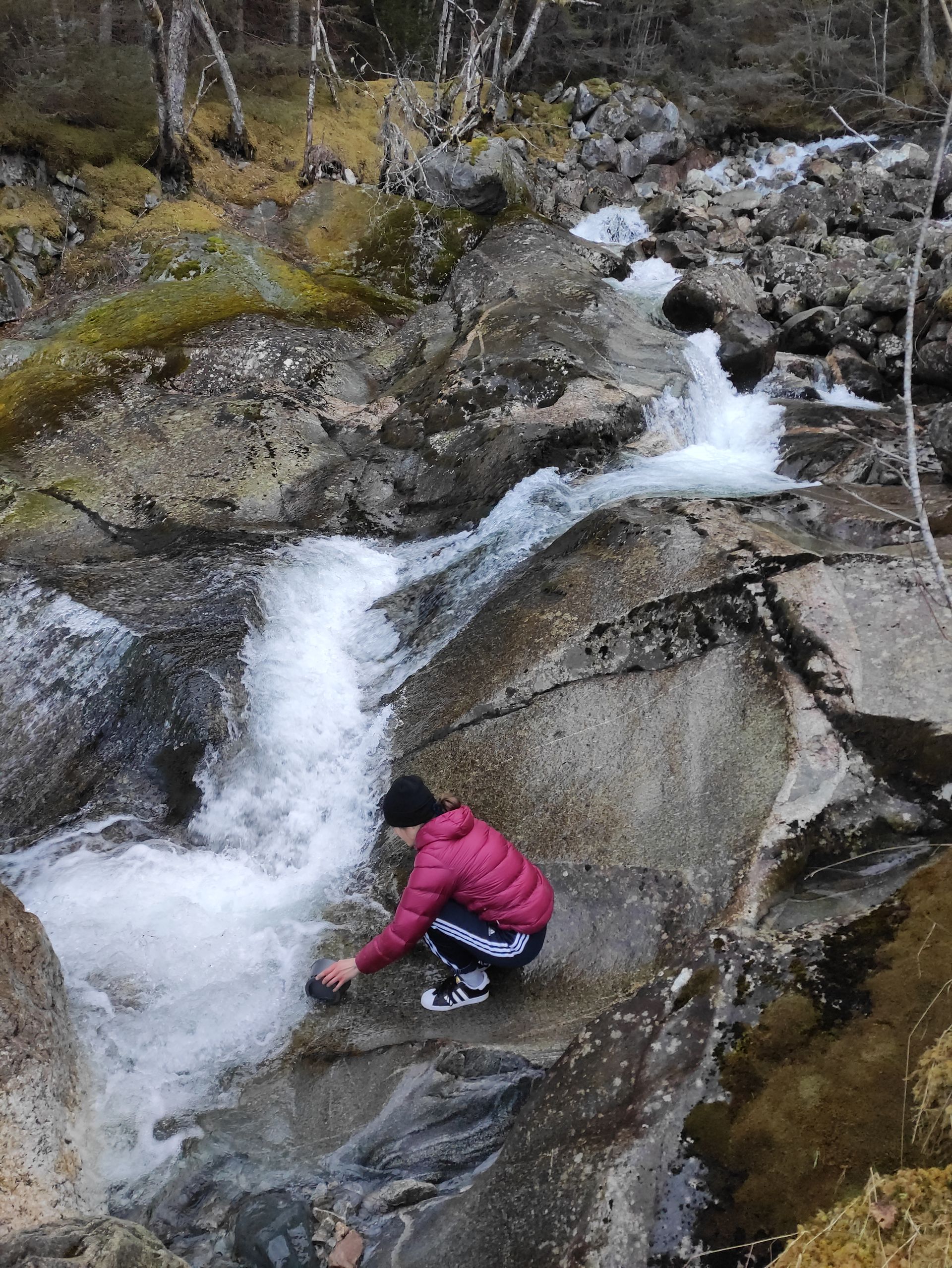
The road leads only to a few houses, and therefore, only one car passes along the road the next morning. We wash the dishes in an ice-cold stream on Saturday morning.
Viking Village (Gudvangen), Tvindefossen, and hiking in Vossevangen
Since hiking here at the Sognefjord is still difficult at the moment, we have decided to drive back about an hour to the south today, to Vossevangen. Because near Vossevangen, we found a nice hike yesterday above a lake.
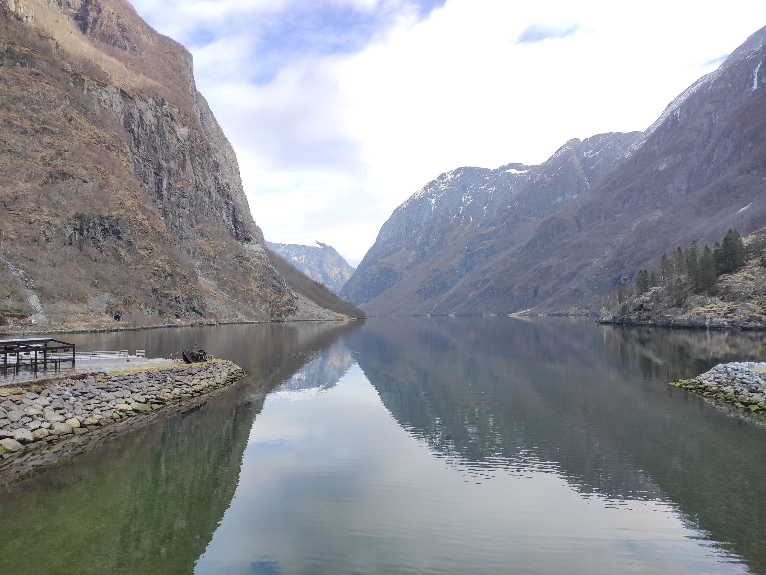
On the way there, we also visit the town of Gudvangen, which is located at the end of the Nærøyfjord - another branch of the Sognefjord. During the Viking Age, the town was an important trading place. Nowadays, it is a popular tourist destination as a 'Viking Village'.
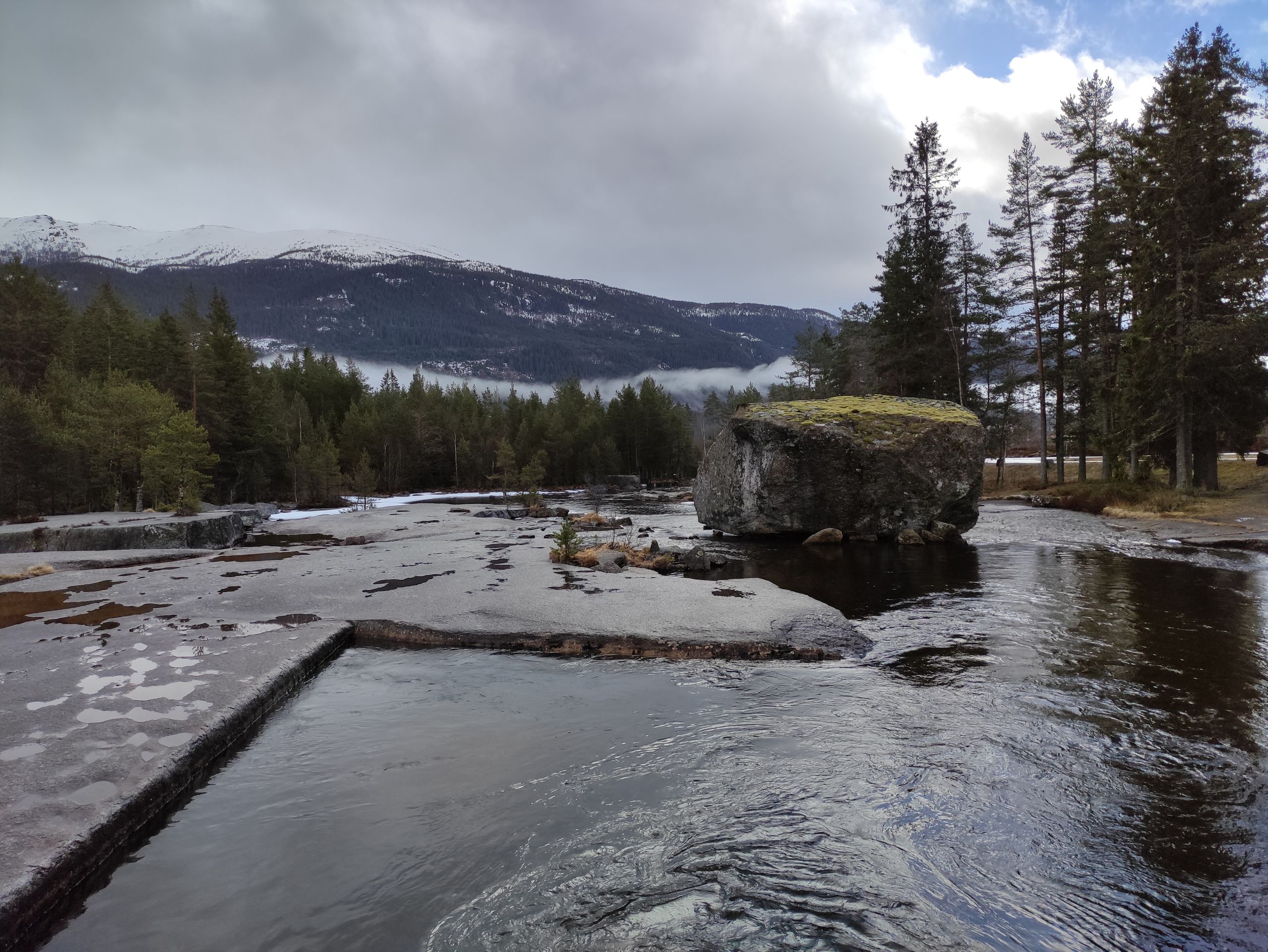
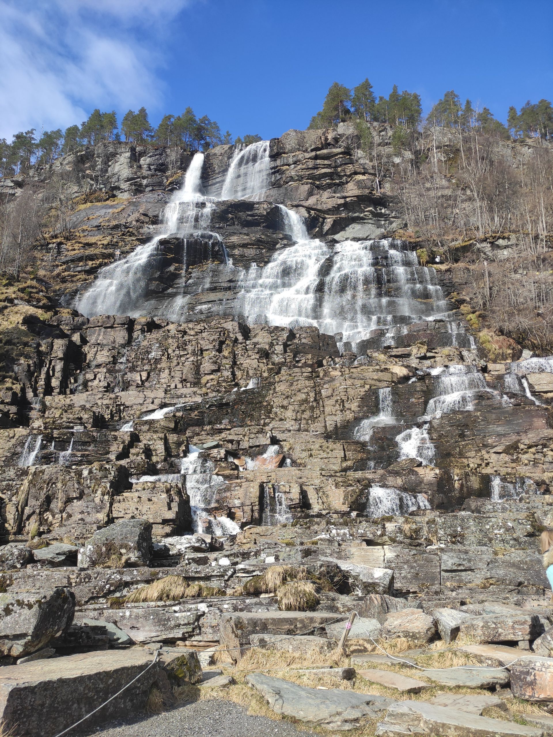
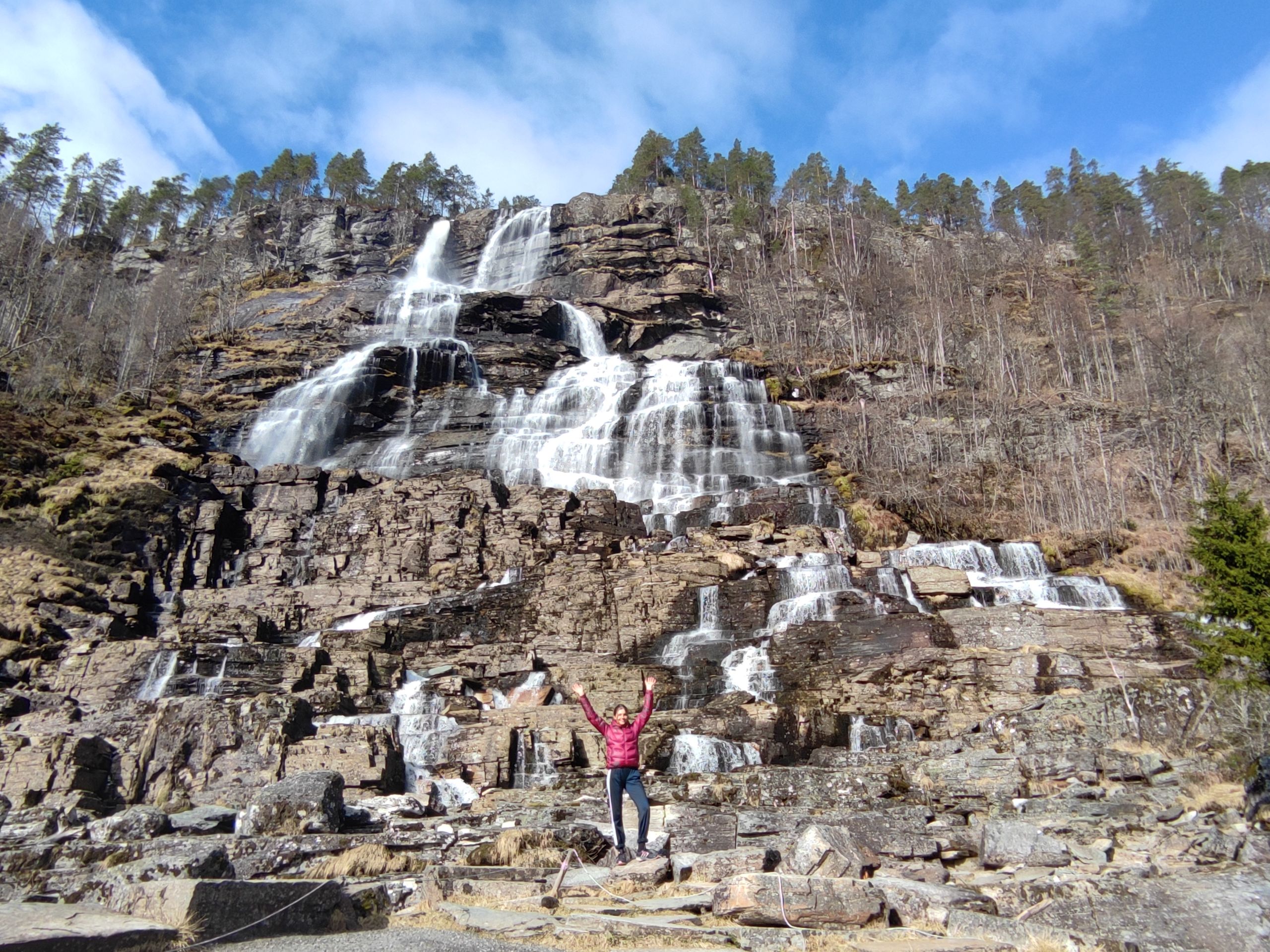
On our way, I discover a larger waterfall off the road and spontaneously stop. The waterfall is called Tvindefossen.
At noon, we finally reach the hiking parking lot in Vossevangen. At first, we have about 500 meters of altitude ahead of us. Below a cable car, we hike up through narrow paths in the forest. We reach a cabin where we take a short break and enjoy the view of the large lake, which now seems much smaller.
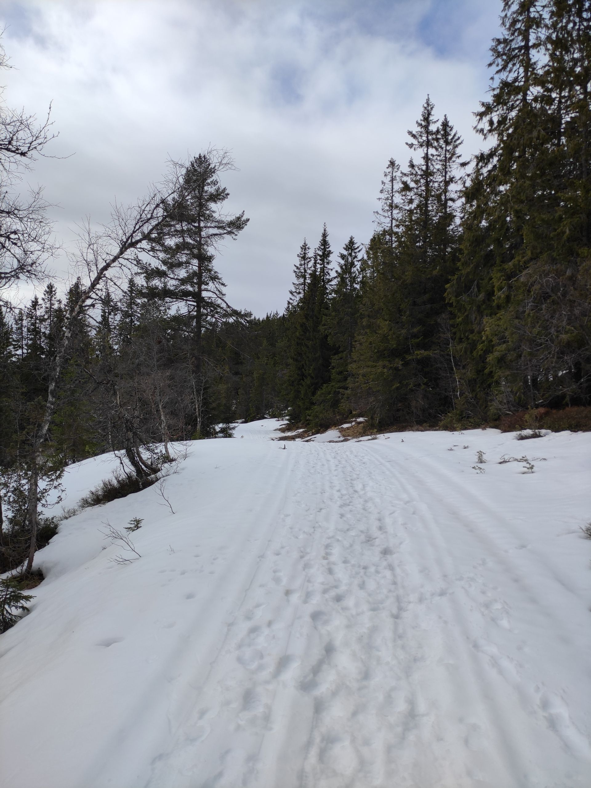
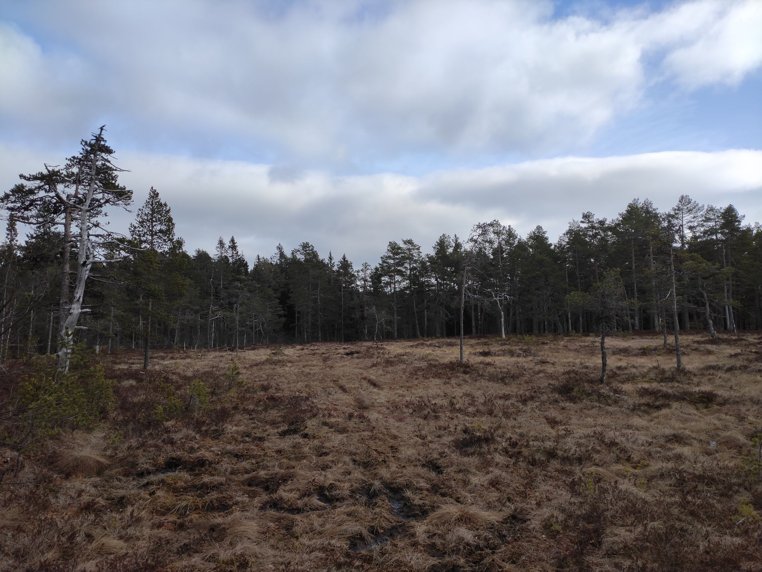
We are quite amazed to see that there is still snow up here. That's why we shorten the hiking route a bit to avoid walking into even higher altitudes. We continue walking a little further through the snow at the level of the cabin and then take a turnoff to follow the circular trail back to the parking lot. Instead of hiking through snow, we now walk on muddy forest ground, so our feet get wet within a short time. But it's still warm and scenically very beautiful.
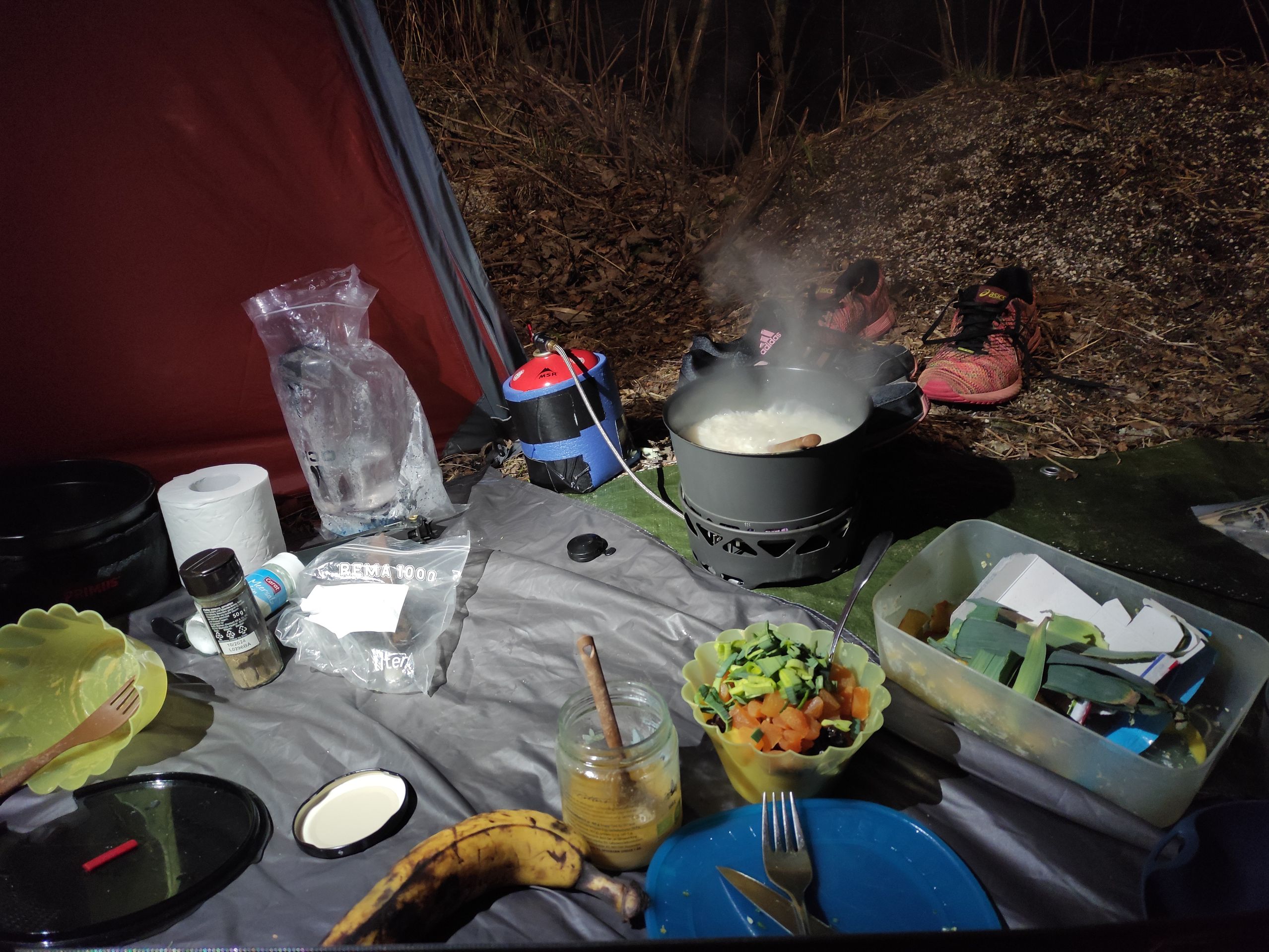
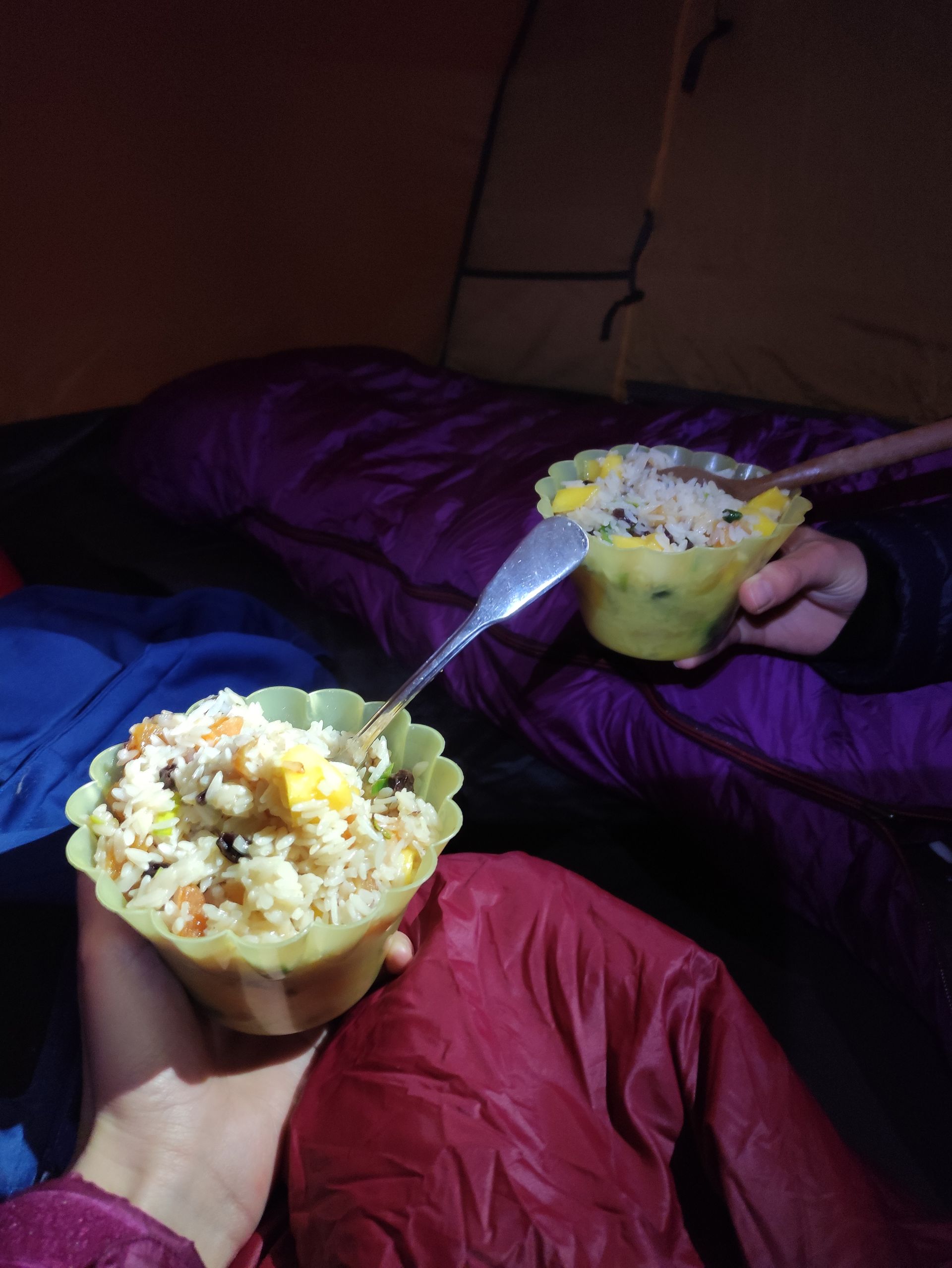
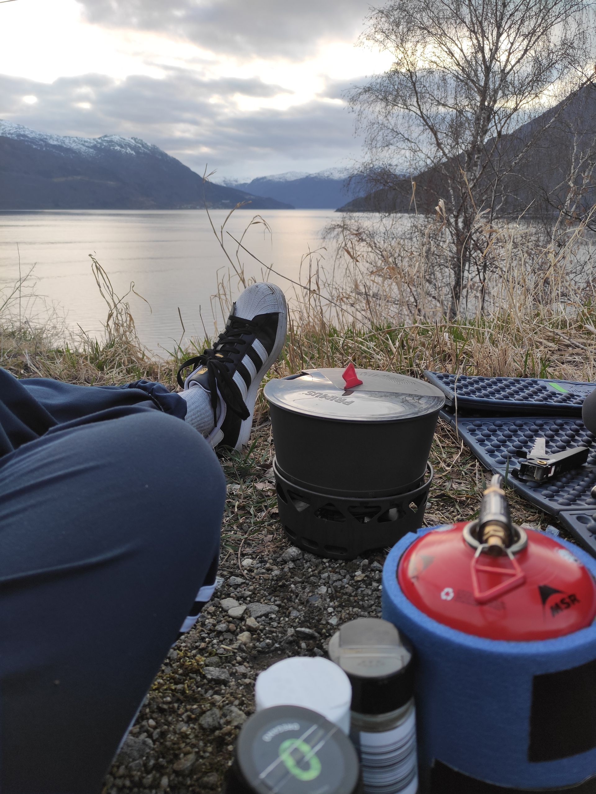
When we are back at the car, we decide to drive towards Kristiansand and keep an eye out for a place to sleep along the way. At 8 p.m., we stop at a parking lot right by the fjord. We cook our dinner on the camping stove and decide to set up the tent here and spend the night.
Because driving all the way to Kristiansand would have taken another six hours, and it's already getting dark, and we are tired, we prefer to have another night as a stopover. The next morning - it's Sunday now - we only have breakfast and walk to a river, where we refill our water bottles for the journey, wash ourselves, and wash the dishes.
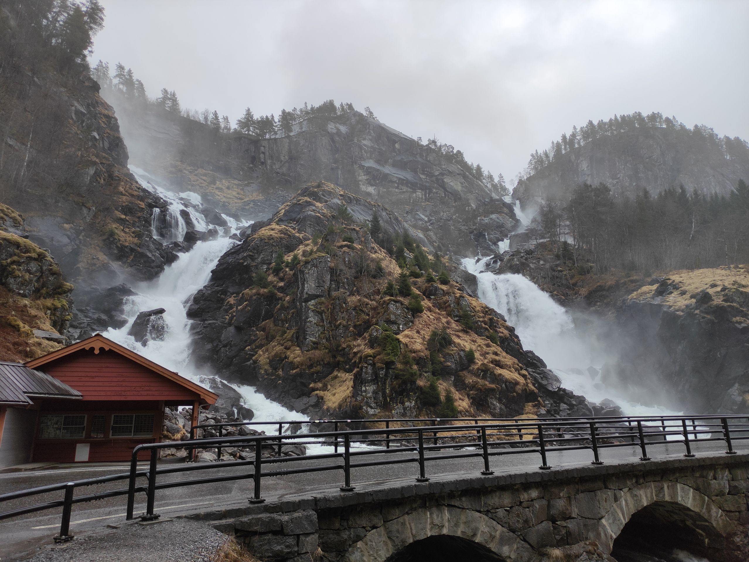
Just as we get in the car, it starts to rain. We drive in the rain the whole time. On the way, we stop at the waterfall Låtefossen.
Then we continue, and we arrive home at 4 p.m.
It will be two more weeks until our next trip. During these two weeks, we will stay at home and do a few smaller things.
Until the next blog post, Sara
ਨਿਊਜ਼ਲੈਟਰ ਦੀ ਗਾਹਕੀ ਲਓ
ਜਵਾਬ
ਯਾਤਰਾ ਰਿਪੋਰਟਾਂ ਨਾਰਵੇ