Multi-day bike tour to the South Cape
ਪ੍ਰਕਾਸ਼ਿਤ: 25.05.2021
ਨਿਊਜ਼ਲੈਟਰ ਦੀ ਗਾਹਕੀ ਲਓ
Planning
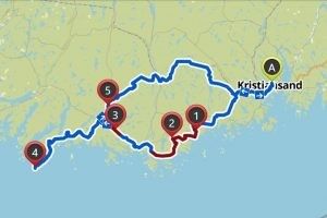
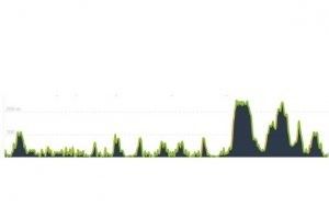
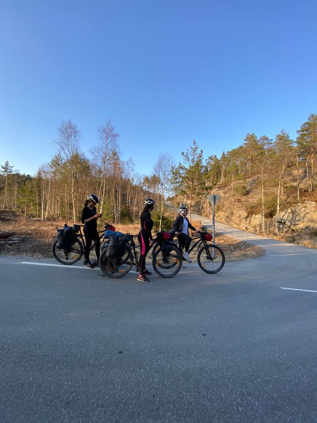
From April 18th to 20th, we are on our bikes heading to the South Cape. We planned a route in advance using the 'komoot' app. This app was very helpful in planning because it provides information on distances, elevation profiles, and the type and terrain of the road. The route we planned is 220 km long. It goes along the coast to the South Cape and then makes a loop through the inland. On the first day, we will try to ride from Kristiansand to the South Cape or the lighthouse 'Lindesnes Fyr' (southernmost point) and stay there overnight. That's about 100 km. On the next two days, we will take the longer and more hilly route and stay somewhere halfway.

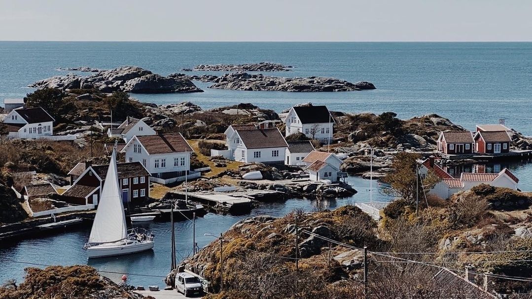
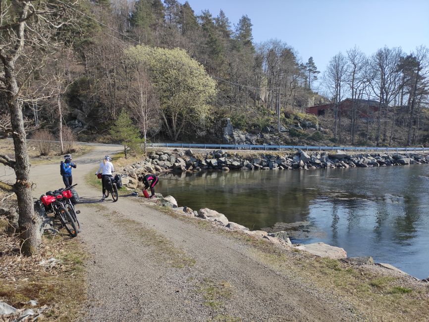
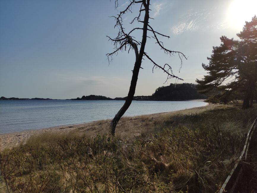
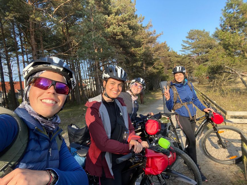
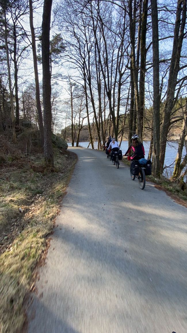
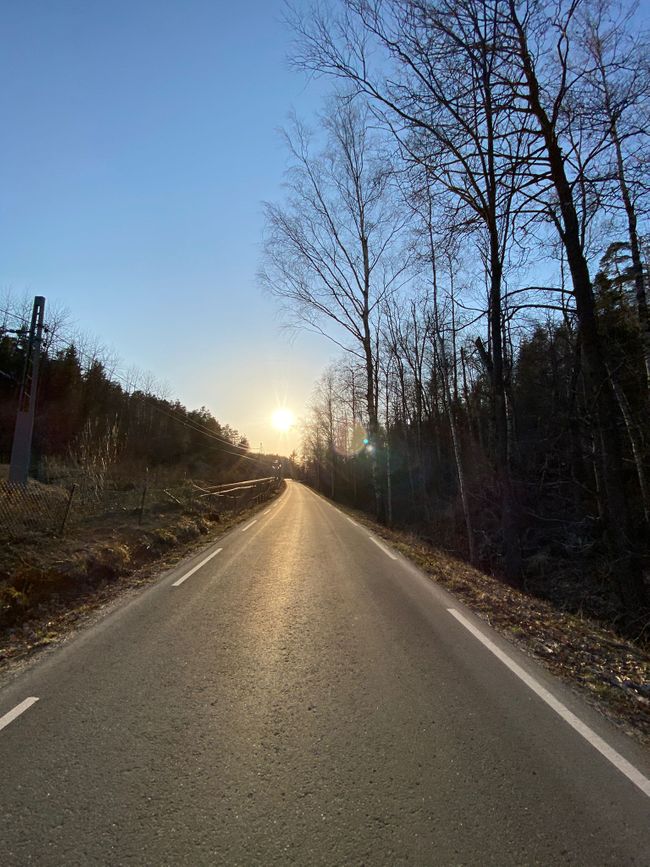
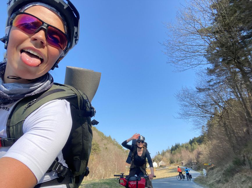
I will meet my group of four on Sunday, April 18th, on campus to start the bike trip. We have great weather, the sun is shining in a bright blue sky, and it's warm enough for me to ride in shorts. The coastal route is incredibly beautiful. Many small, charming villages with houses right on the water or on small islands off the coastline.
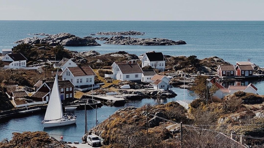
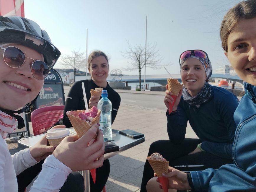
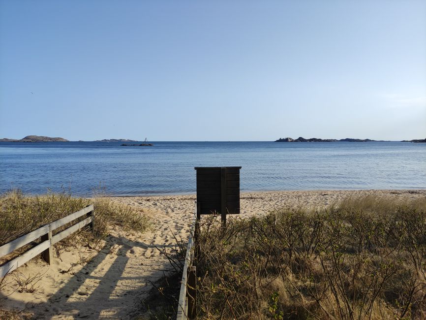
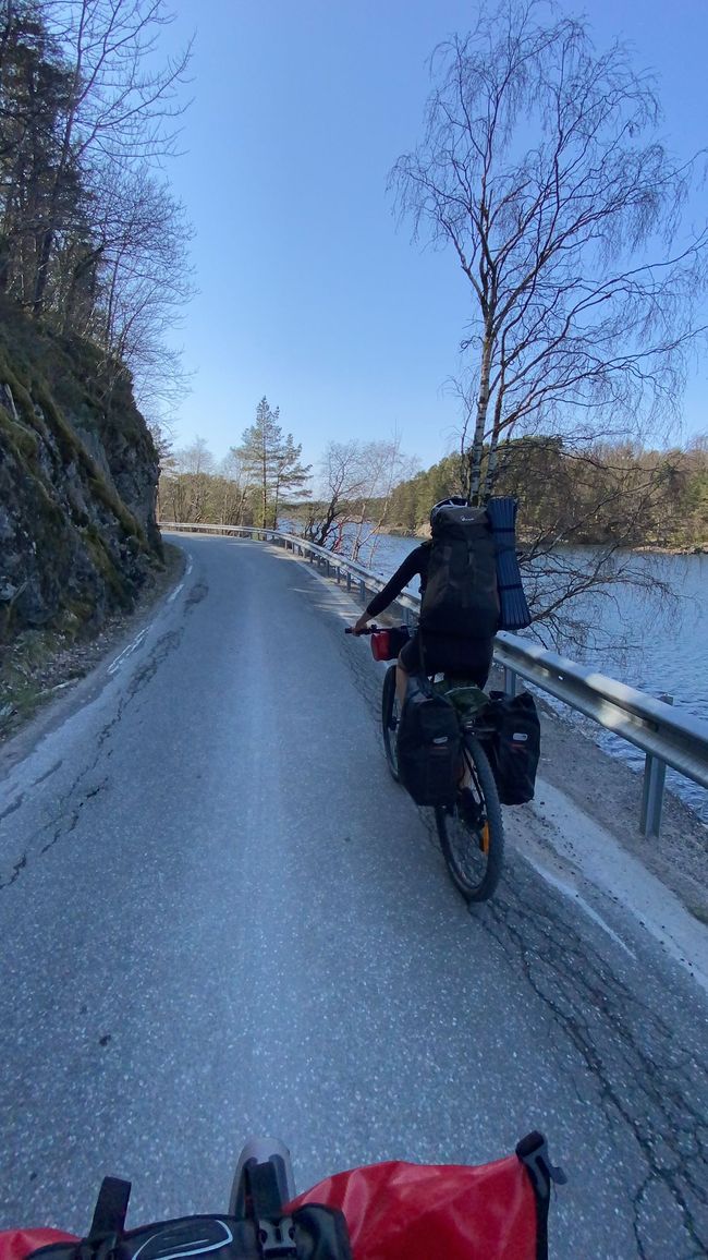
The idyllic little fishing village Ålo stuck in my memory. It looks like paradise here. I definitely want to come back here again. With all the great views from this coastal road, cycling is certainly easier. However, the road is very hilly. The road is rarely flat; it goes up and down the whole time. After a few hours, I'm pretty exhausted from all the mountains, and I feel it in both my legs and my backside. Every time I think that maybe that's the last hill, the next one already appears. To motivate ourselves, we decide to take an ice cream break in Mandal. Mandal is a little behind the halfway point. We arrive in Mandal around 5 pm and enjoy our ice cream, refill our water bottles, and take a look at the 800 m long beach in Mandal, which is quite large for Norwegian standards and has been voted the best beach in Norway several times.

But we can't spend too much time here because we still have less than half of the distance ahead of us and we should arrive before it gets dark. So we get back on our bikes and continue. The stretch after Mandal is actually flat, and that feels good. However, it doesn't last long, and soon it becomes hilly again.
The last two hours feel like an eternity. The mountains, especially on the Lindesnes peninsula, get higher and longer toward the South Cape. Every time I reach the top of a hill, I hope it's the last one. But as soon as I conquer one hill, I already see the next one. That's how it goes for the last two hours, and it's also a mental challenge.
After nine hours and 100 km, we finally arrive at the South Cape!
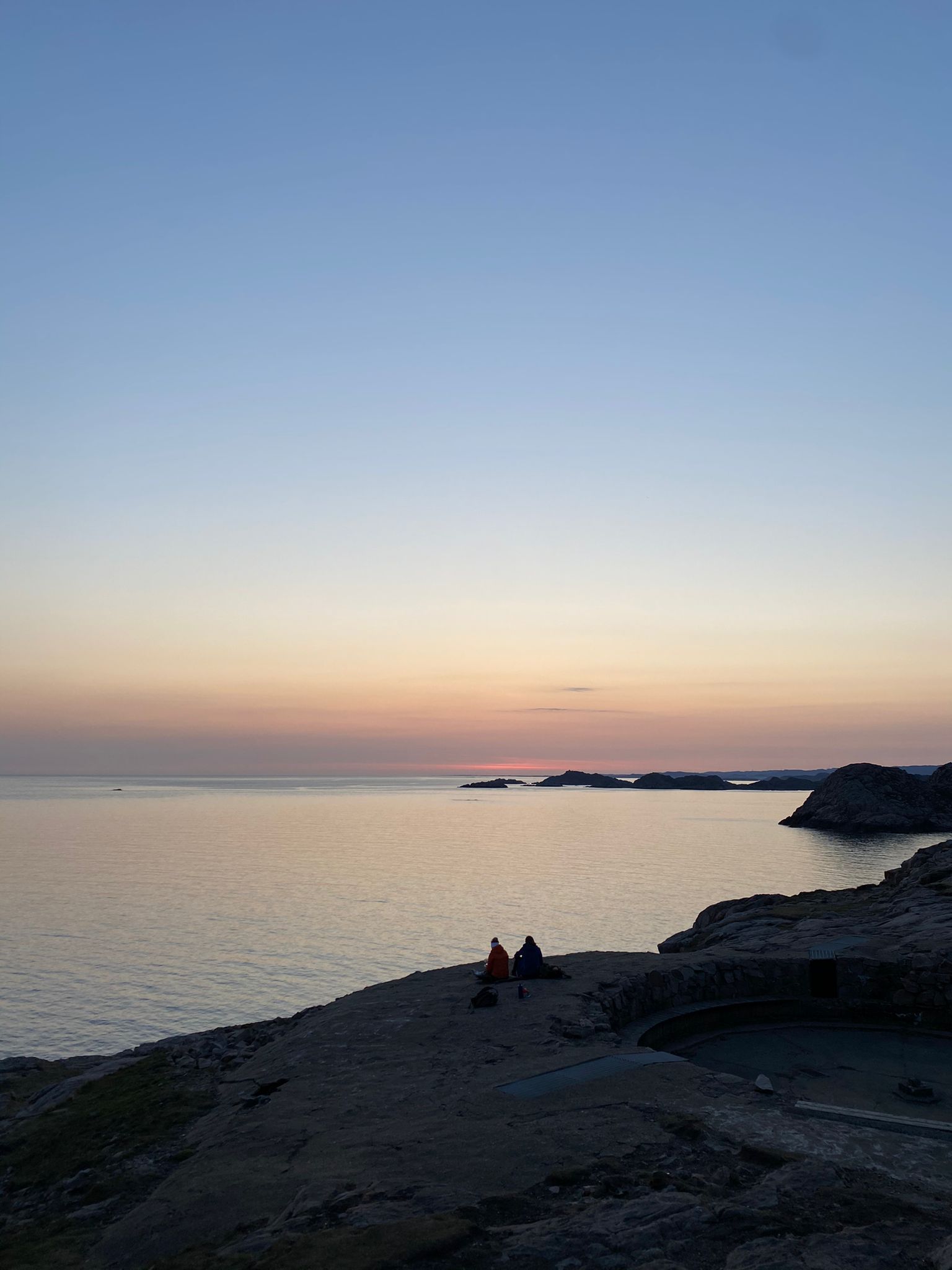
Our legs are burning, our butts hurt, and we are tired. We hardly took any breaks along the way, and if we did, they were short breaks to eat and drink. Today, we burned around 5000 calories, and I noticed that I ate a lot during every small break.
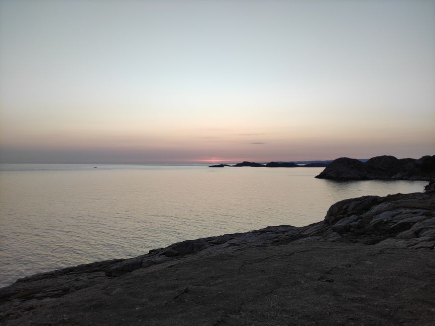
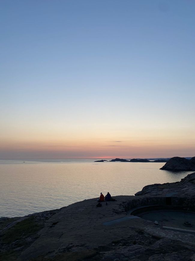
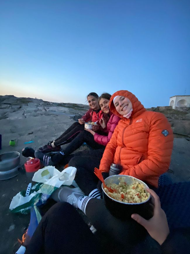
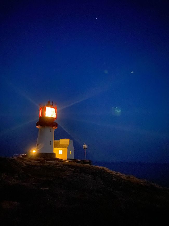
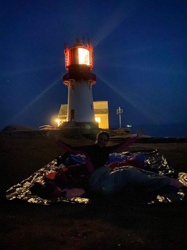
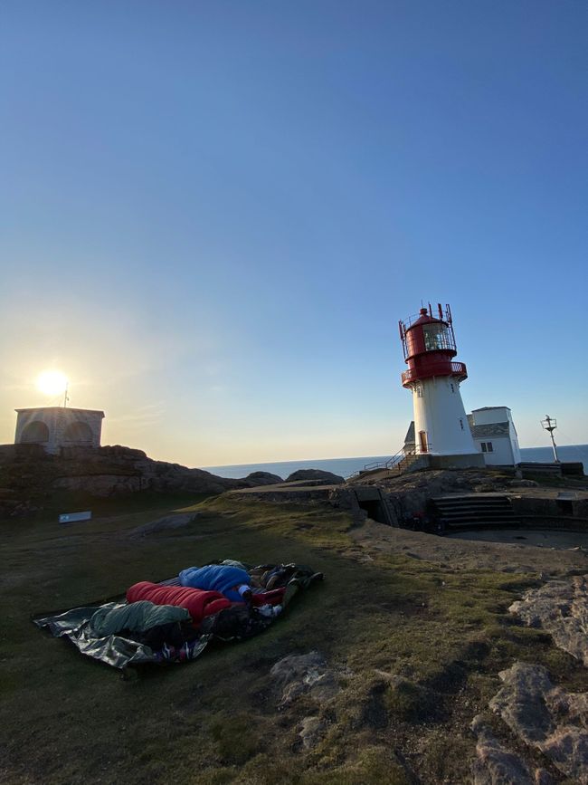
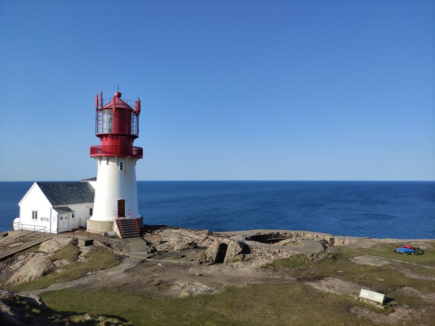
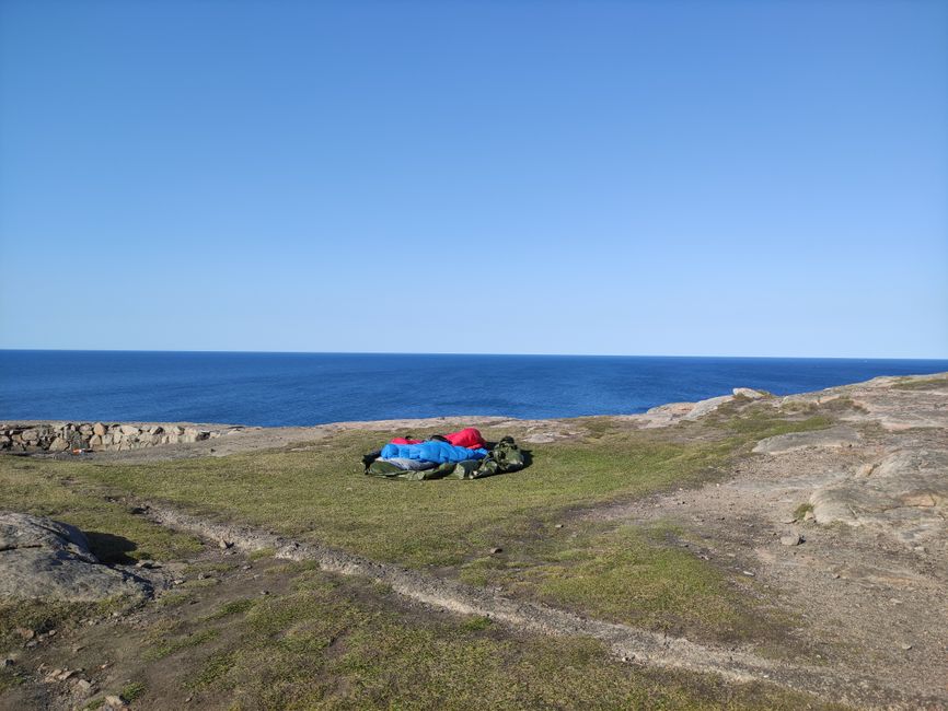
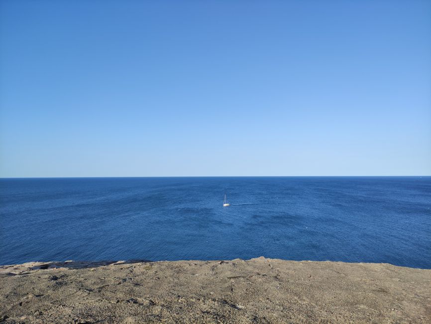
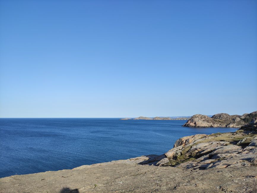
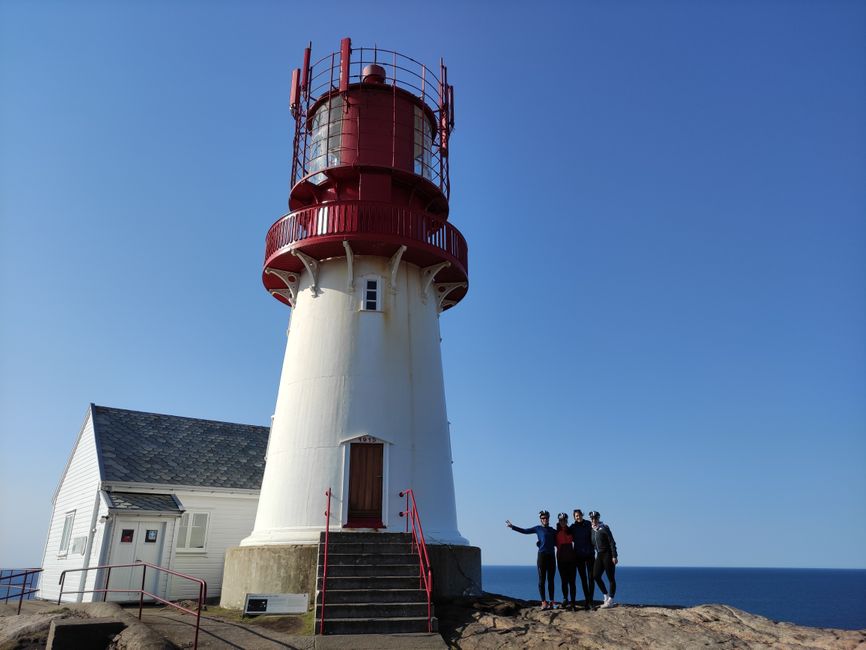
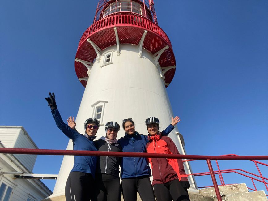
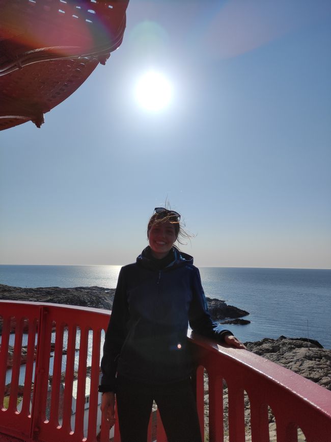
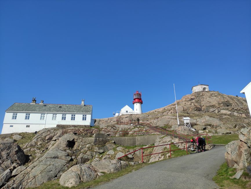
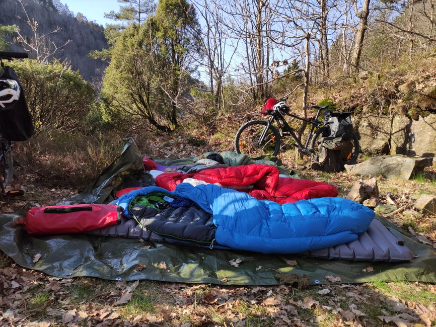
Unfortunately, we miss the sunset at the South Cape by only two minutes, but we still enjoy the evening glow and twilight. We sit on the rocks above the sea and cook on our camping stove. Afterwards, we take out our sleeping mats and sleeping bags from the bike bags. We don't set up the tent - we didn't even bring it - because the weather forecast for these days is warm and dry. And indeed, we have a pleasantly warm night with 10°C. We're super tired and make ourselves comfortable right next to the lighthouse. The lighthouse is the southernmost point of the mainland and is called 'Lindesnes Fyr'. It is also the oldest lighthouse in Norway (1656).

The light of the lighthouse doesn't bother me at all during the night, on the contrary. In addition to the beam of light from the lighthouse, we also have a wonderfully clear starry sky. Because it is such a cool place to spend the night, I don't want to close my eyes and fall asleep. For that, I am rewarded with two shooting stars!
We are proud that we managed to do this without much training beforehand. I also learned a lot about my body today: when I think I can't go on anymore, it's not yet the limit. After just a few hours of cycling, I thought I wouldn't be able to conquer another hill, but six hours later, I was still on the bike and rode up numerous other hills. So this day was definitely worth the experience. But whether I would plan such a hilly route with so many kilometers for just one day again... probably not.
Second stage: Monster hills and personal limits!?
When I wake up the next morning, on April 19th, the sun shines directly into my face, and it's relatively warm.
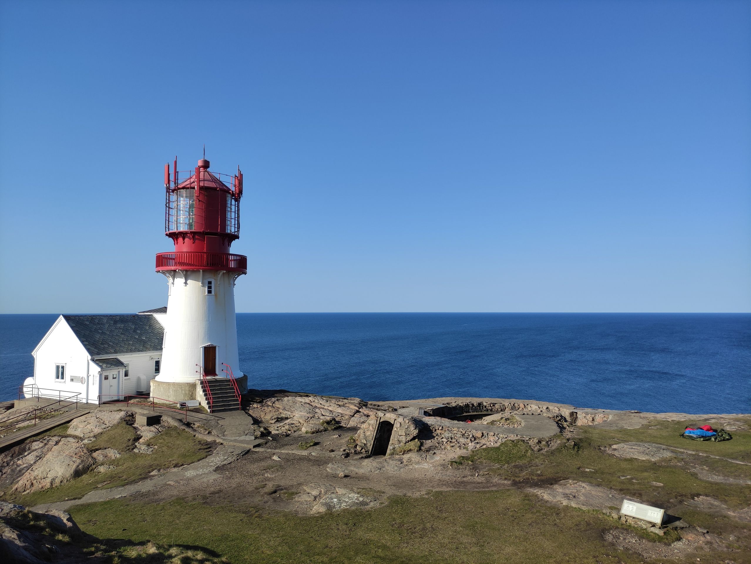
First, we have breakfast. As always when we are on trips, we have porridge because it takes up the least space and is lightweight and quick to make on the camping stove. After that, we pack up our sleeping gear and take a look at today's route. We are somewhat skeptical as we examine the elevation profile more closely and see that today, in addition to the many hills, there are also two very long and steep hills waiting for us.

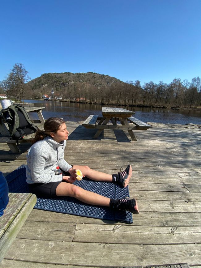
Since we are still pretty exhausted from the previous day and because of the two big hills, we decide to shorten the route a bit. Our first goal today is Vigeland, where we want to refill our water bottles and have our lunch break. But first, we have to ride back across the hilly Lindesnes peninsula. We arrive in Vigeland around 12:30 pm after about 30 km. After refilling our water bottles, we sit down on a wooden pier by a river and have lunch. I also take a little nap in the sun. The focus is on recharging energy because shortly after Vigeland, the long, steep hill awaits us. After the nice, sunny lunch break, continuing to ride requires some effort, but there's no other choice. When we reach the first big hill, I'm a bit skeptical. It's a gravel road that goes steeply uphill through a forest. After a short time, we get off our bikes. But since bicycles with all our luggage in the bike bags are quite heavy and tend to slide on the steep gravel road, pushing the bikes is not easier. So we get back on our bikes and ride up the hill in the lowest gear. I'm amazed at how long you can endure in the lowest gear despite the steep incline. It takes quite a while, almost three hours, until we finally reach the top. The climb stretches over about ten kilometers. Then, fortunately, we go downhill for a while. The downhill ends in a small village. There we take a small snack break in the early evening sun - it's 6 pm. Since we can't sleep comfortably in this village, we continue riding. We enter the forest again, and before we know it, we find ourselves at the foot of the second big hill. Since we didn't find a suitable place to sleep between the two hills, we decide to tackle the second hill today as well. By now, it feels like being in a kind of flow because even though you are actually tired, you stop feeling it and just keep going and going. The second hill is not as steep, and we are also riding on a paved road, which makes it easier. We need significantly less time for this second hill. As we roll down again, we keep an eye out for a place to sleep. But here in the forest, we don't see any flat areas, and it's cold and dark. We keep riding until we finally find a spot by a lake at 9 pm. Today's distance was 90 km. We only cook and then go into our sleeping bags.

Third stage: Back to Kristiansand and a little birthday celebration
I wake up, and once again, the sun is shining. So Norway is giving me great weather on my birthday.

Since we rode so far yesterday evening, we only have about 20 km left to ride to Kristiansand today. There are no more big hills waiting for us today, so it literally goes smoothly. We arrive home by noon.
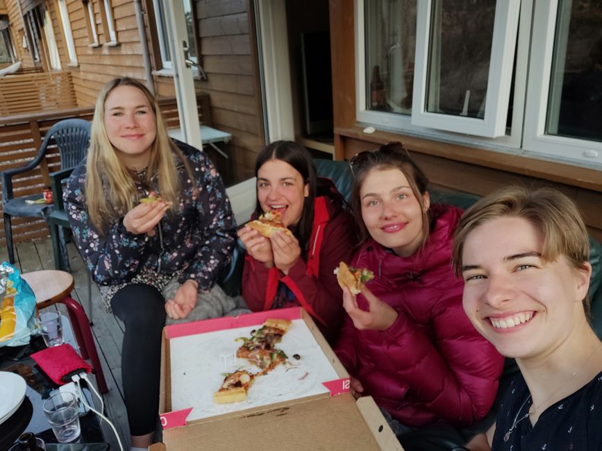
First, we unpack and take a shower. Then we order a delicious pizza, enjoy a Lillet and the sun on the balcony.
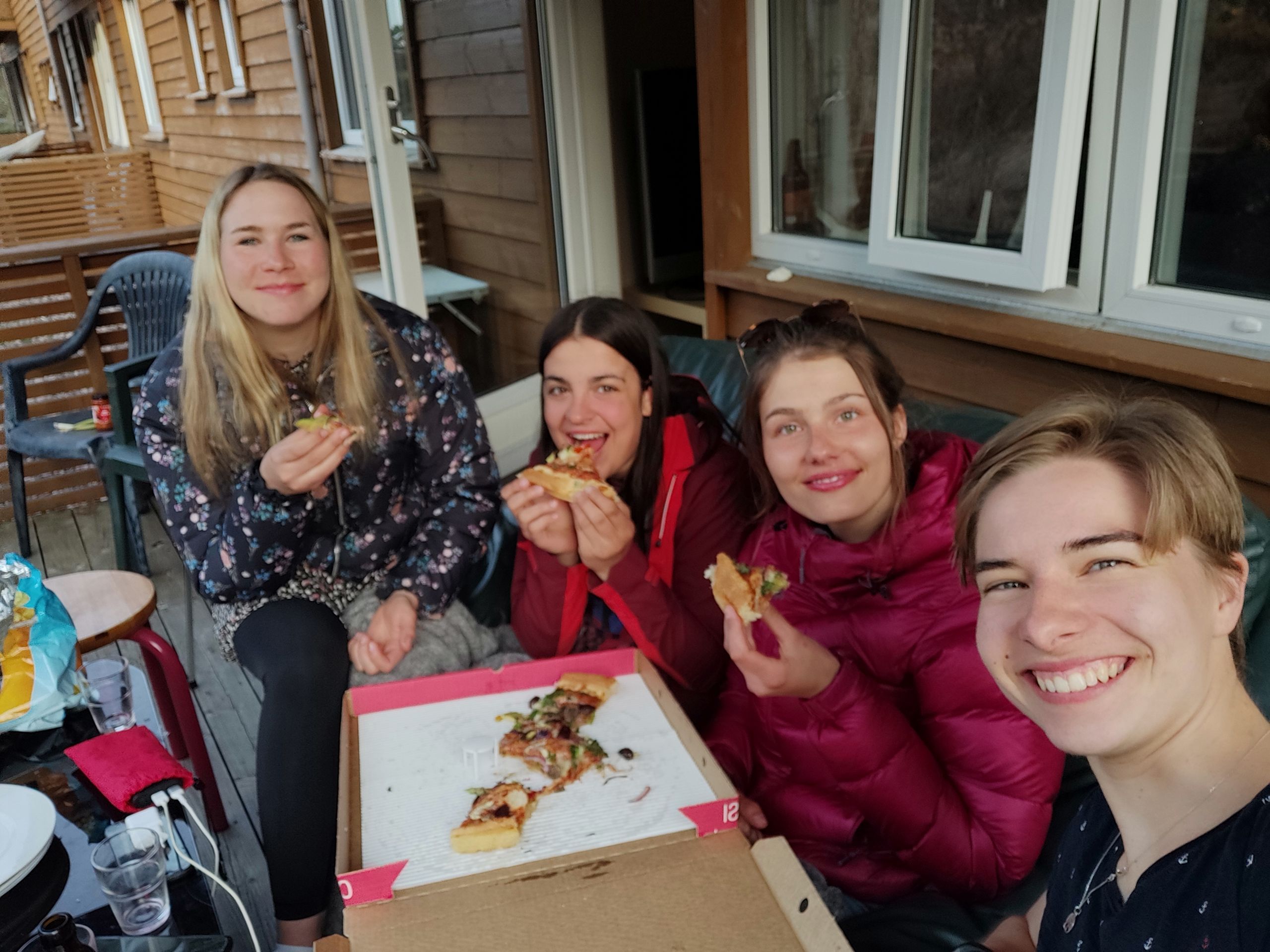
In the evening, when the other groups have also returned, we all sit together.
In my next post, I will tell you about my next trip to the west coast, which I spontaneously decided to take. I'm going to Stavanger, hike to the Preikestolen (a famous rock formation), ride along the west coast, and hike to the Brufjell Caves (Norwegian: 'Brufjellhålene'). It's going to be exciting!
Until then, Sara
ਨਿਊਜ਼ਲੈਟਰ ਦੀ ਗਾਹਕੀ ਲਓ
ਜਵਾਬ
ਯਾਤਰਾ ਰਿਪੋਰਟਾਂ ਨਾਰਵੇ
