Chornohora
Lofalitsidwa: 30.06.2018


Lembetsani ku Newsletter
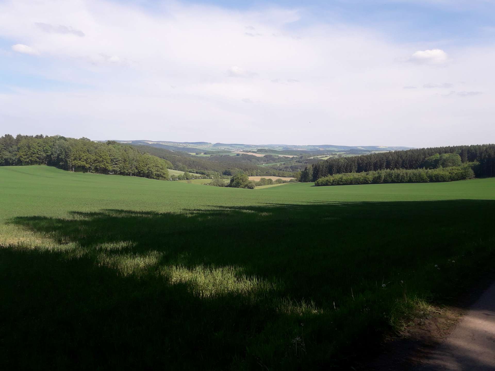
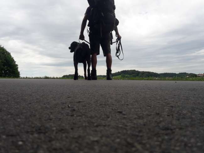
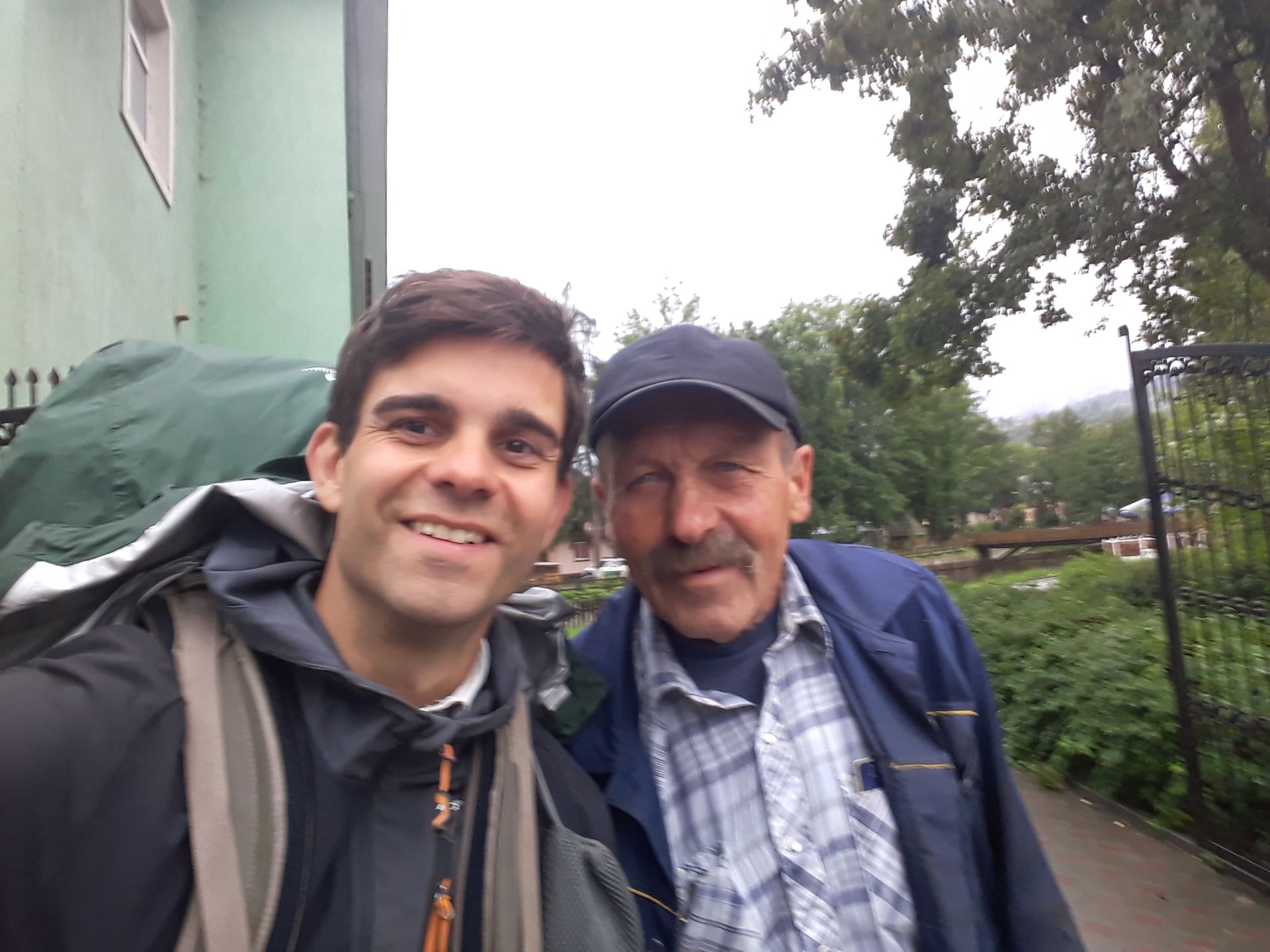
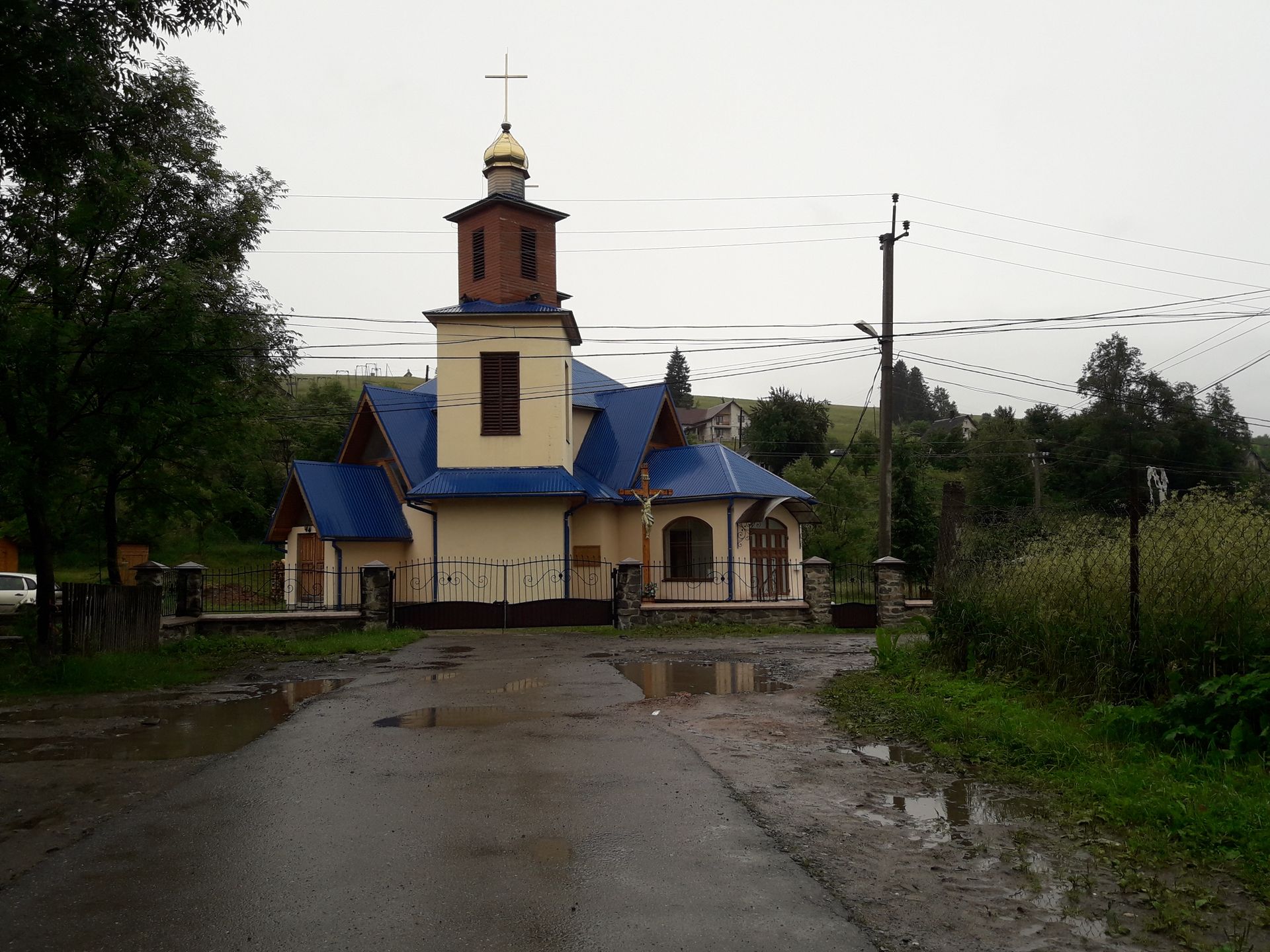
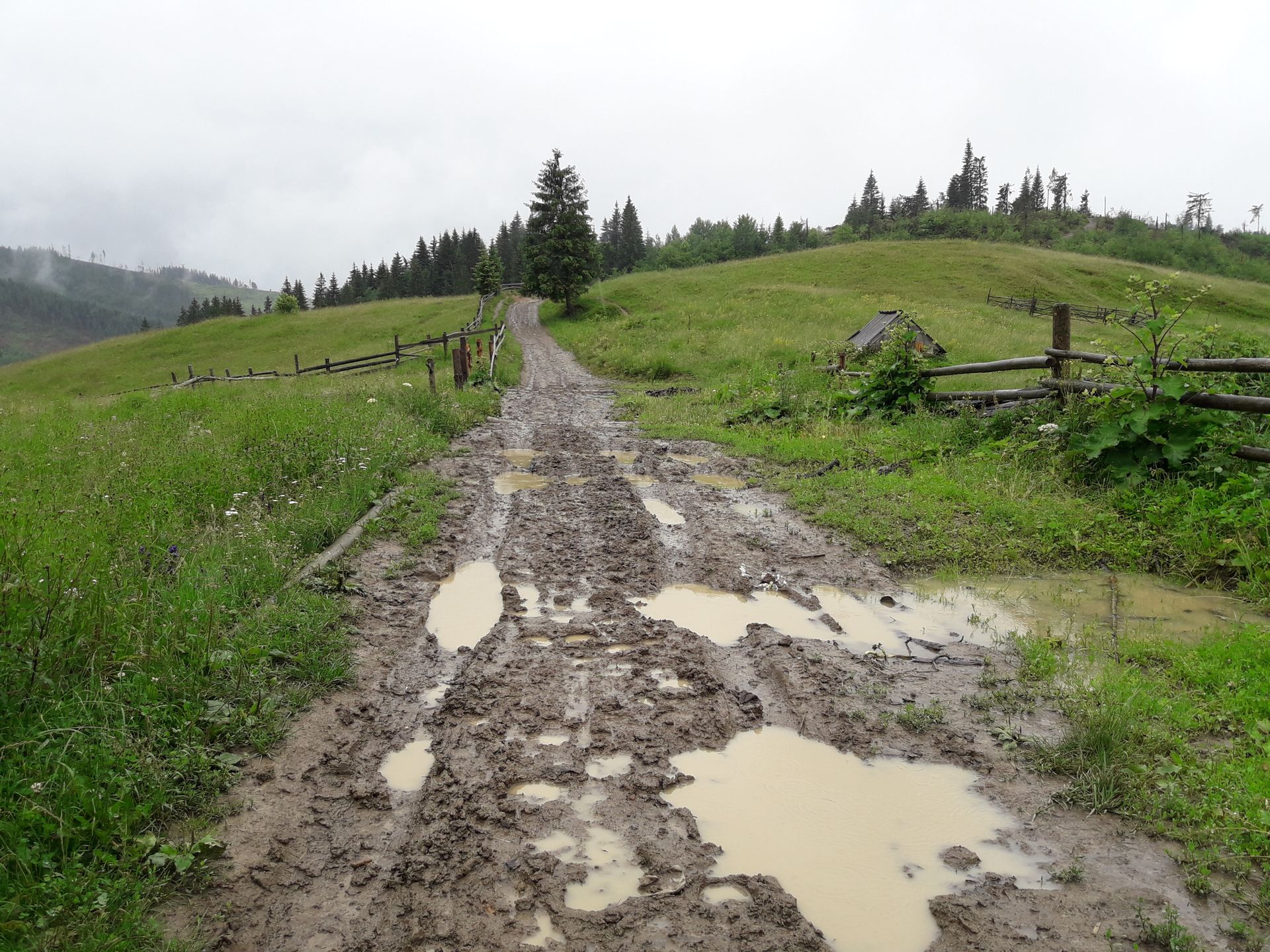
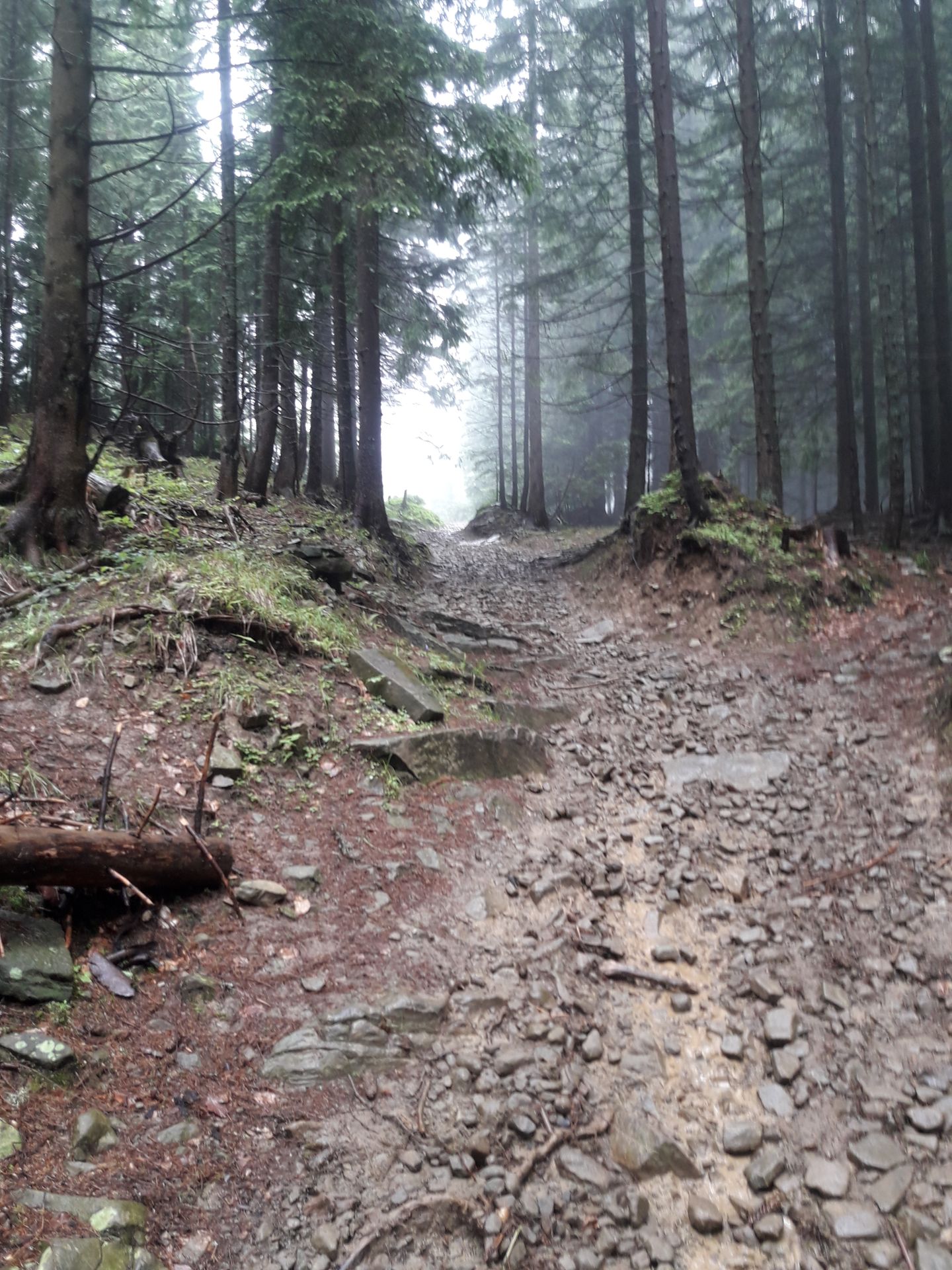
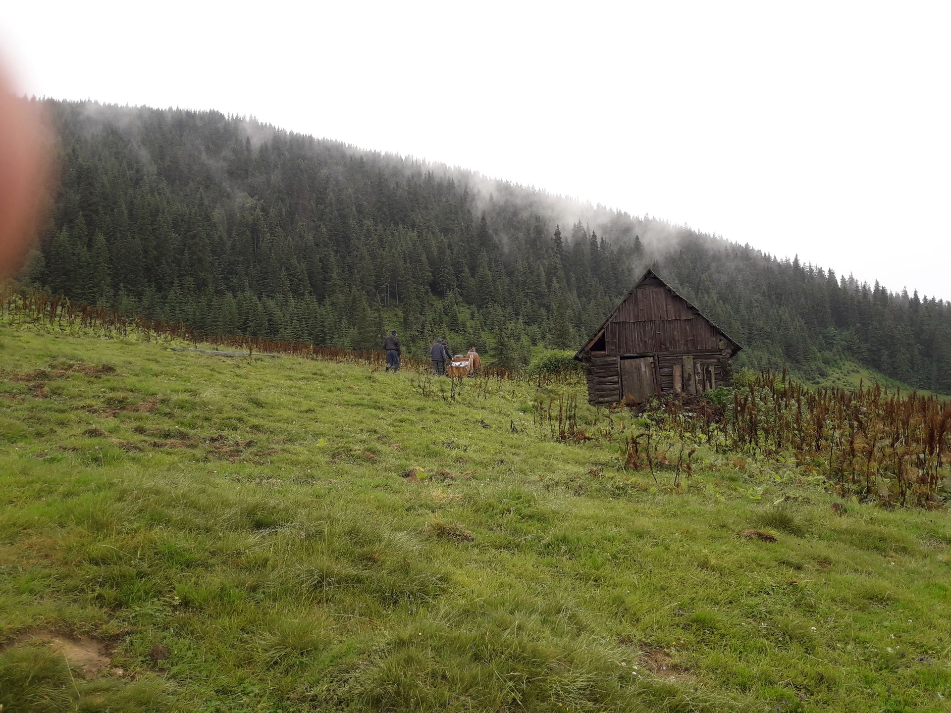
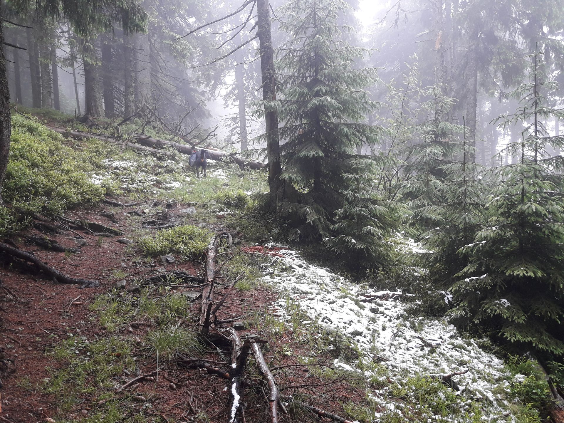
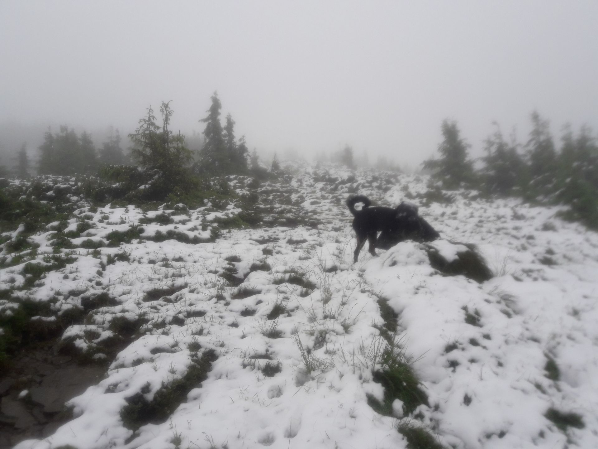
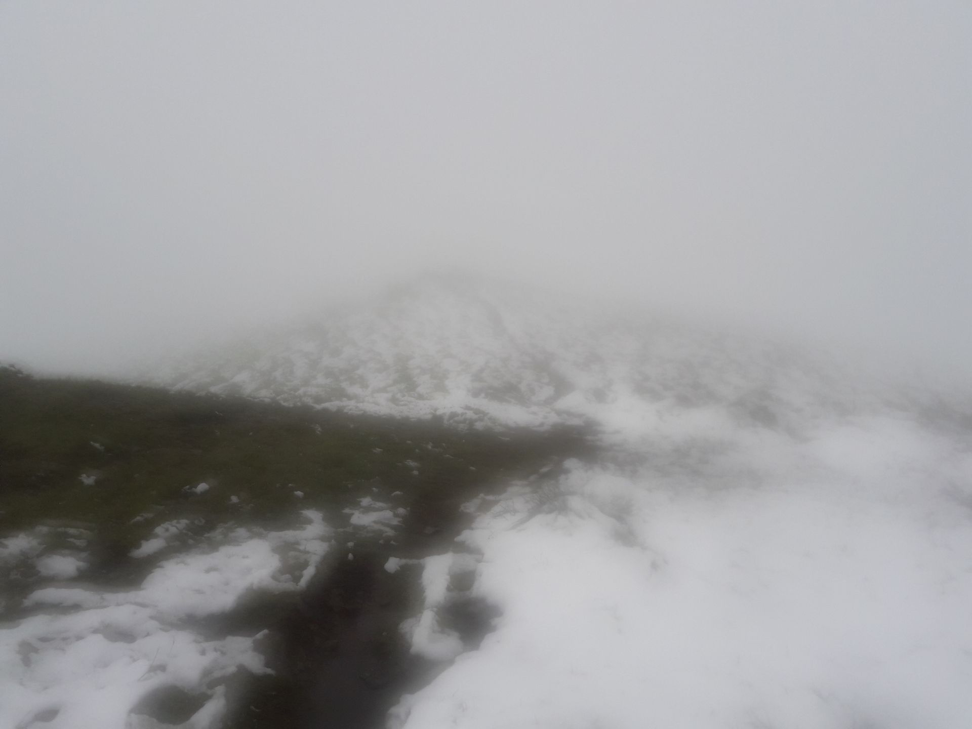
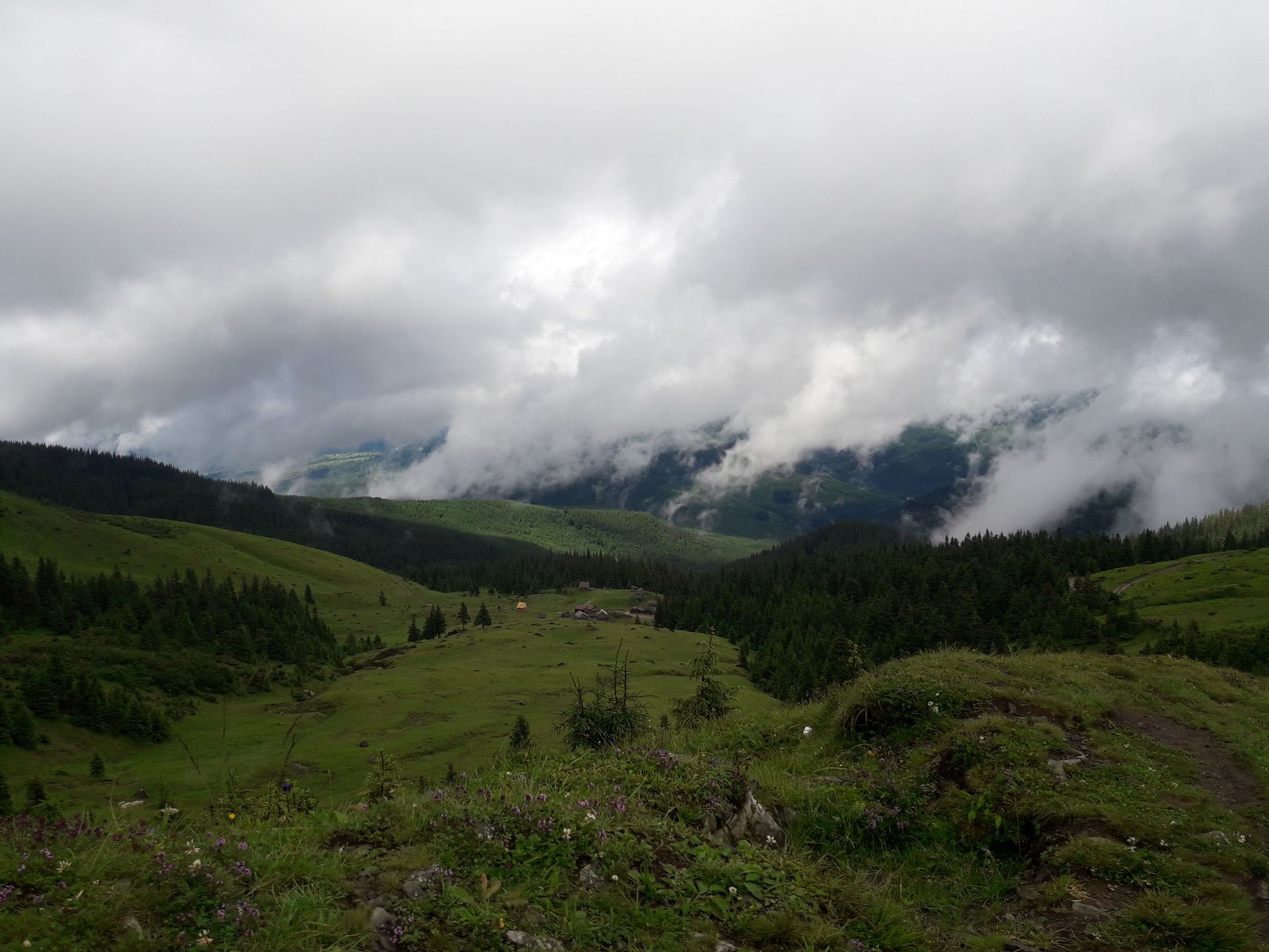
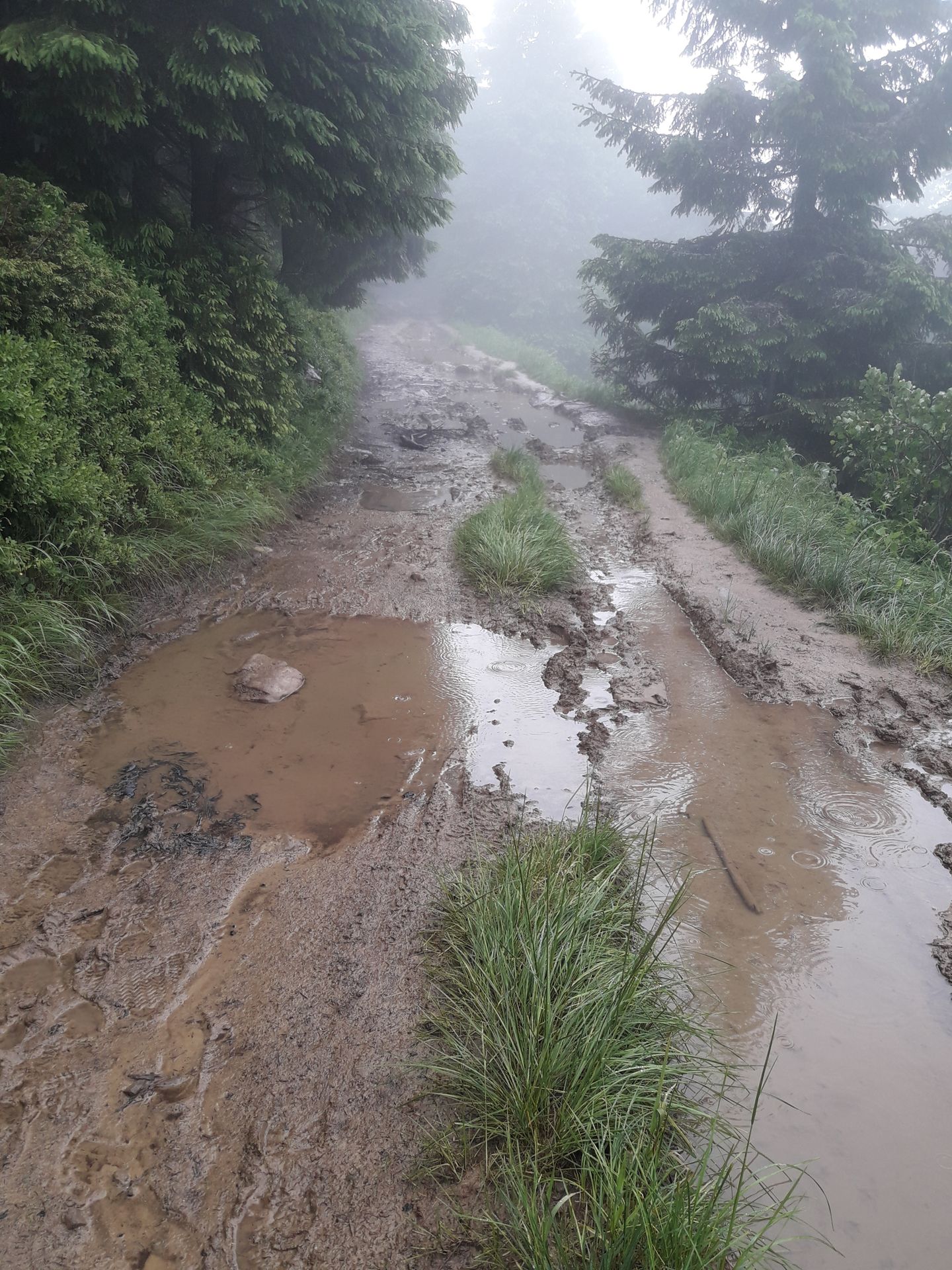
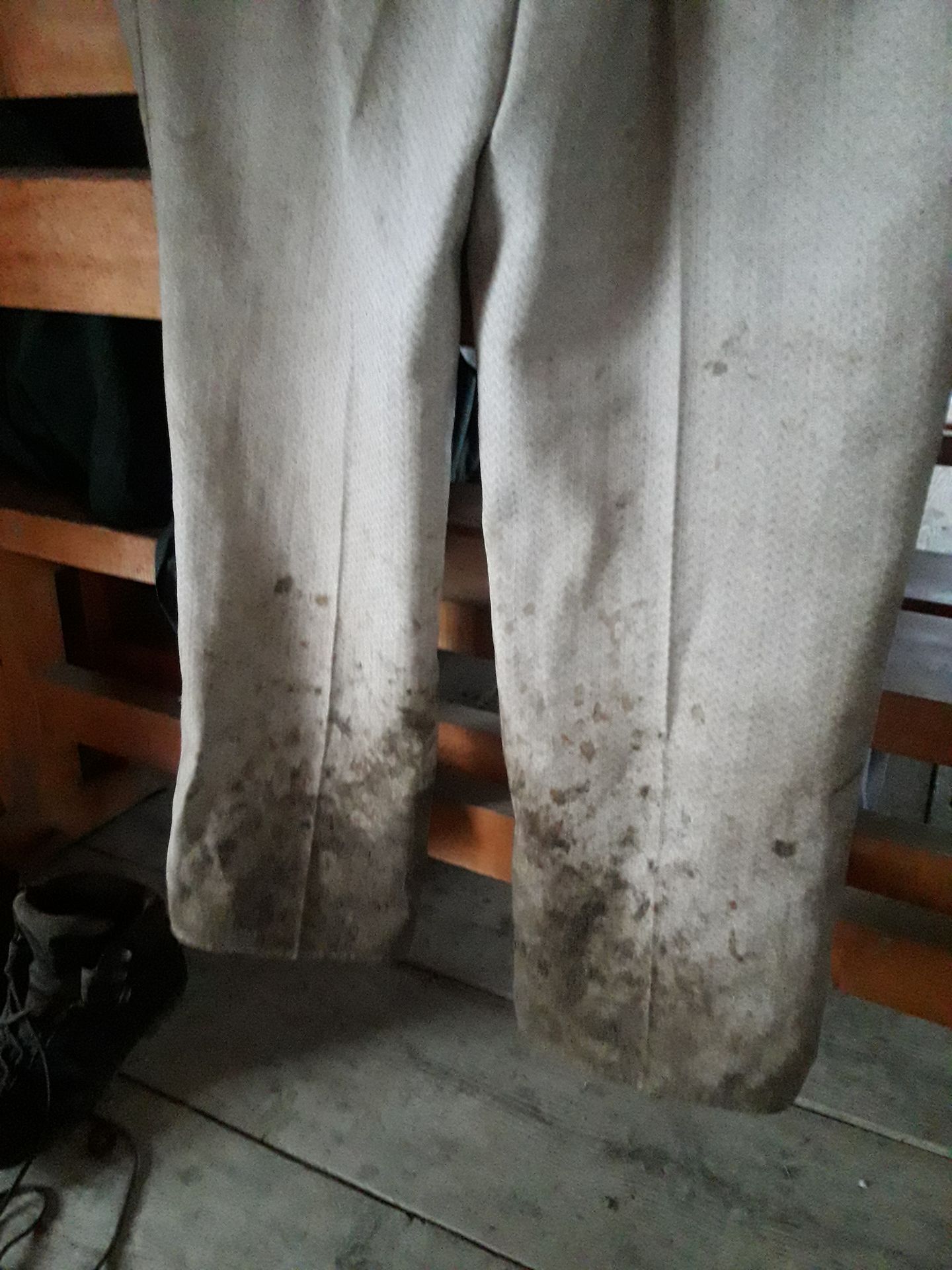
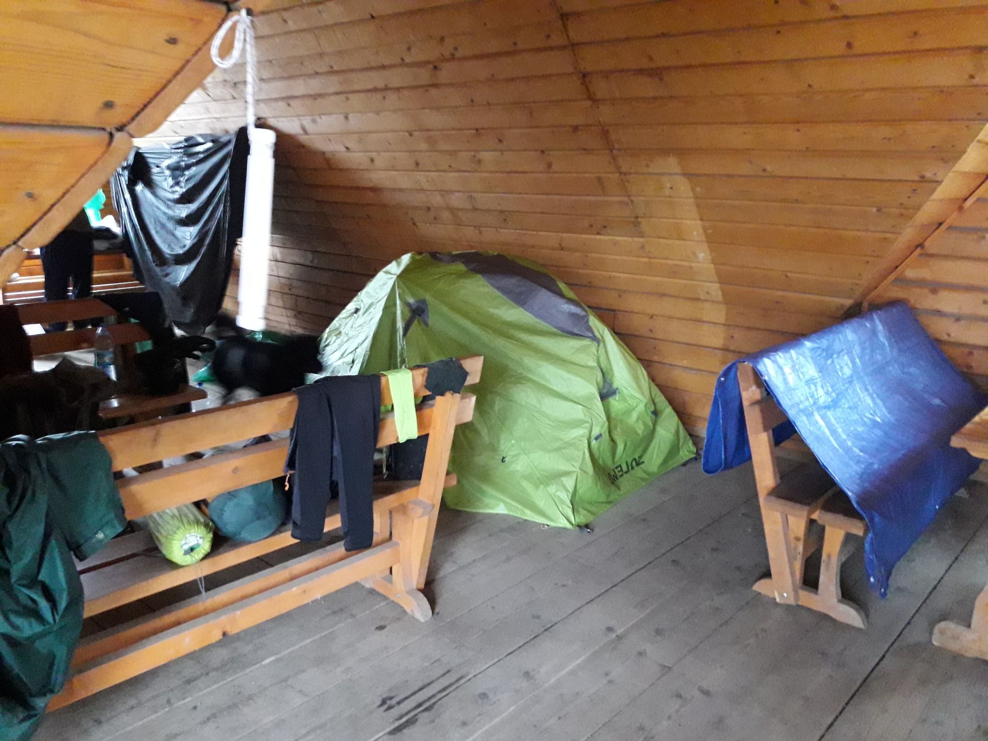
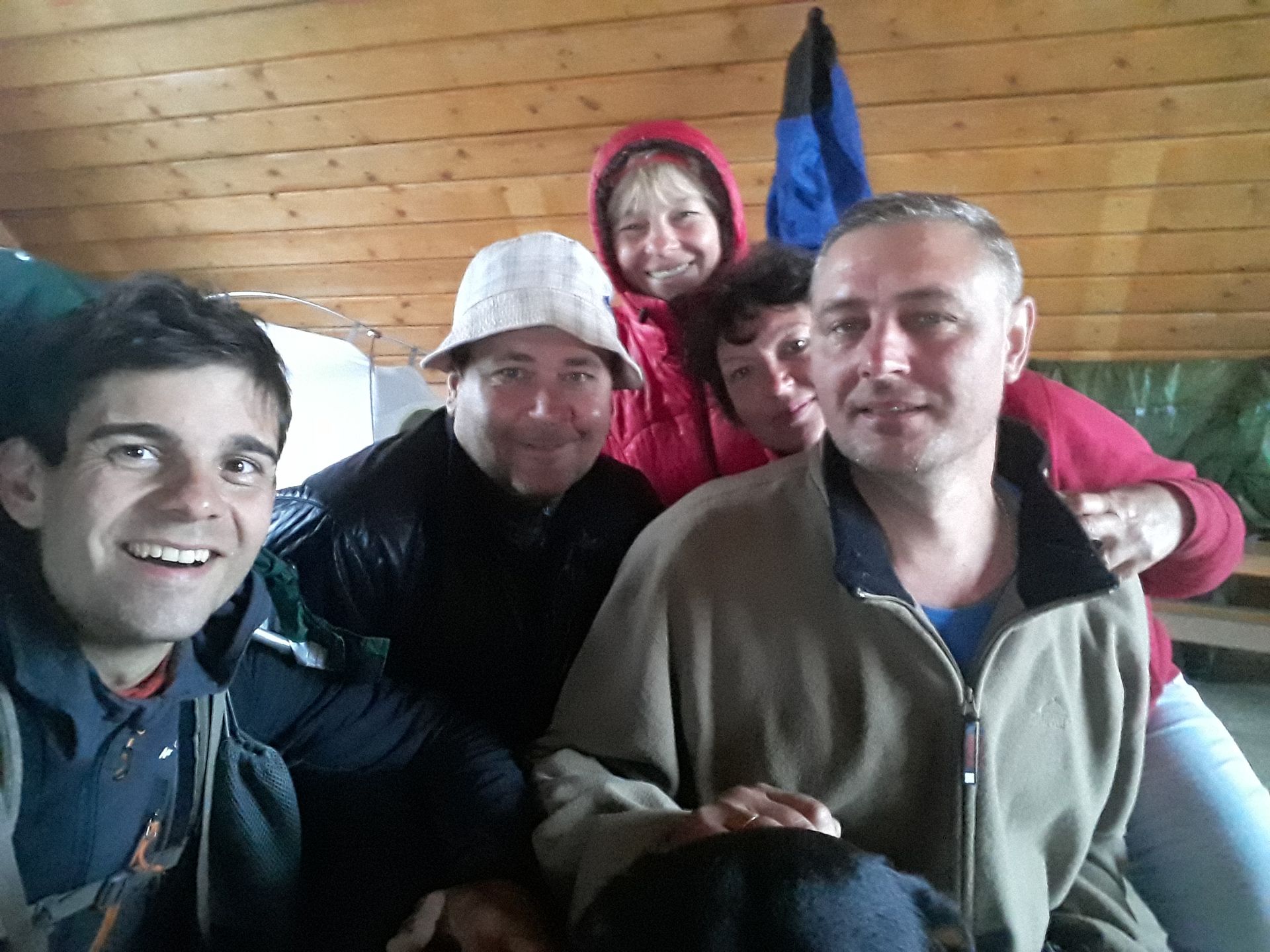
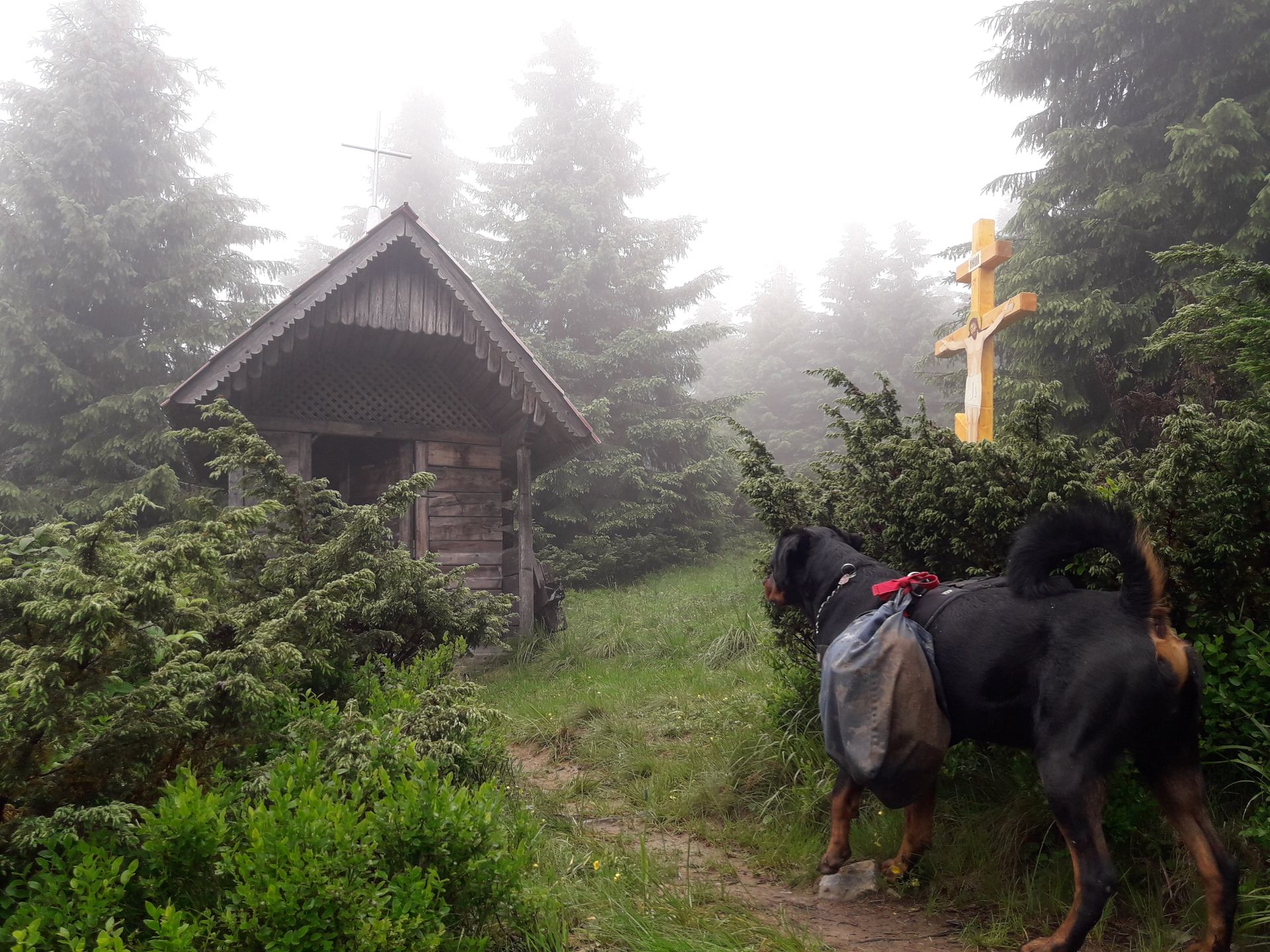
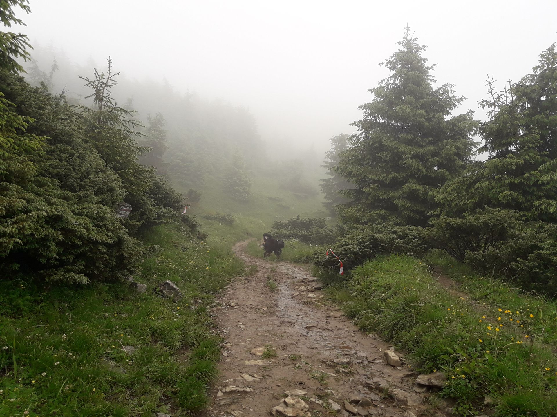
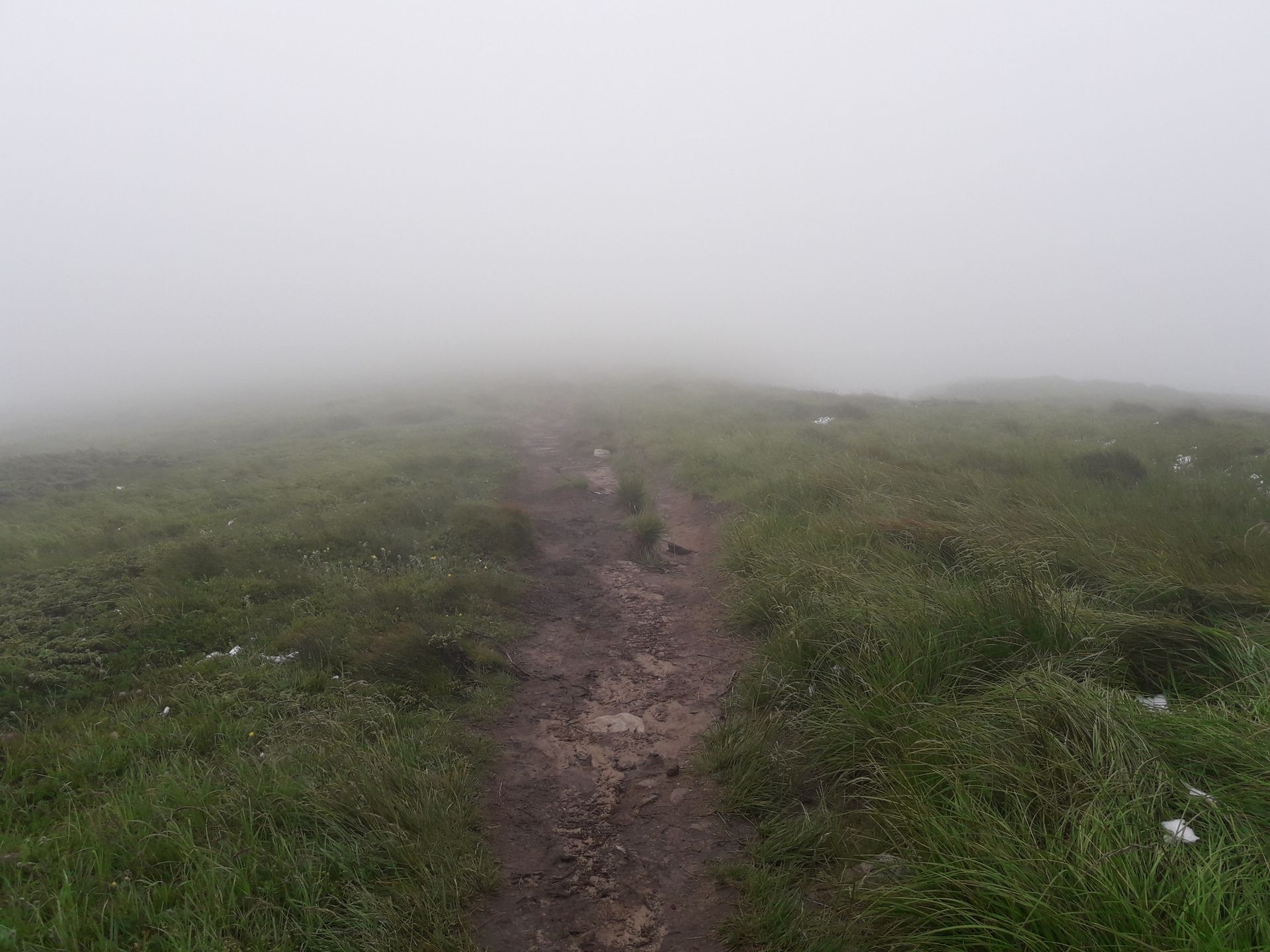
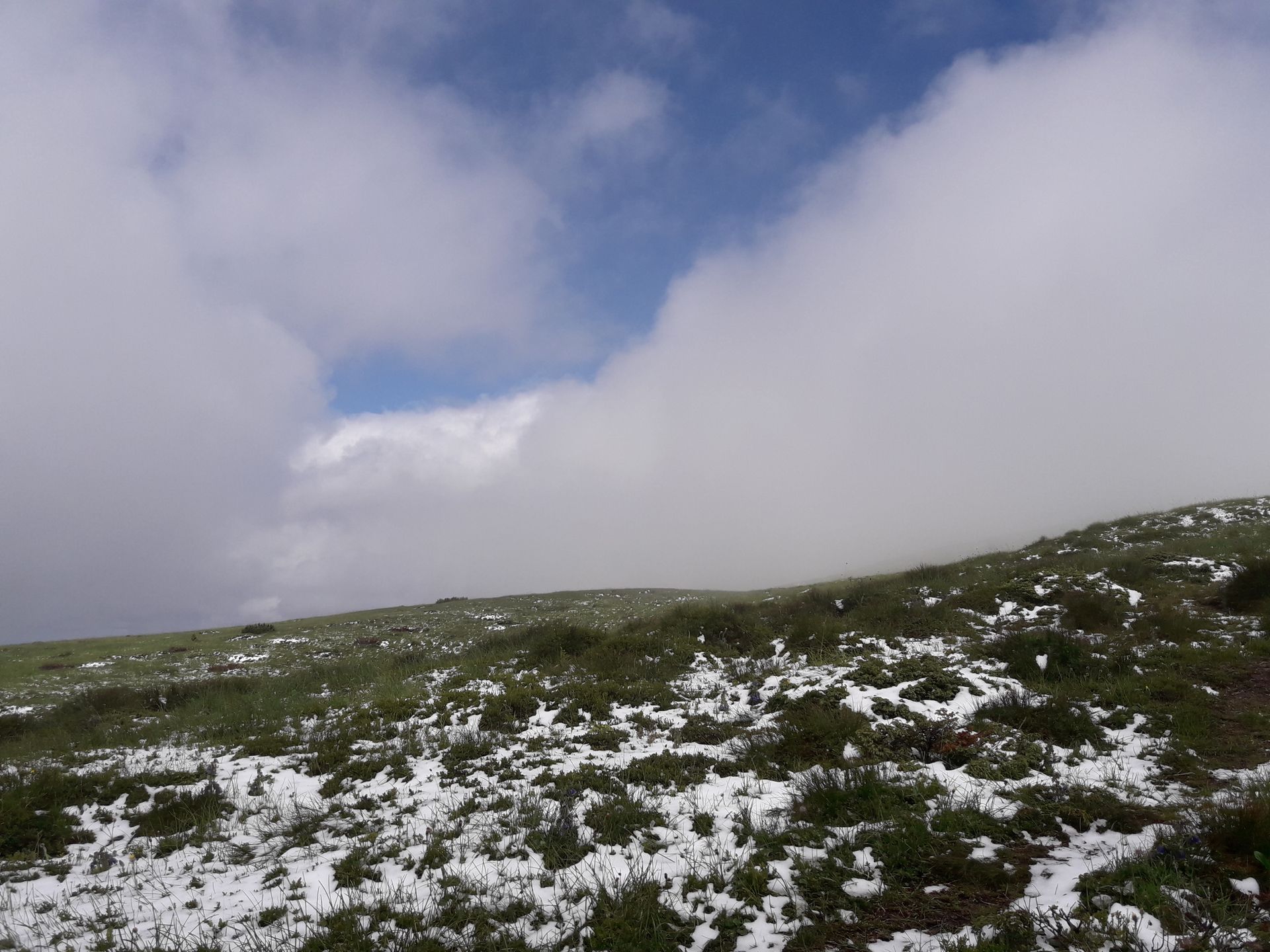
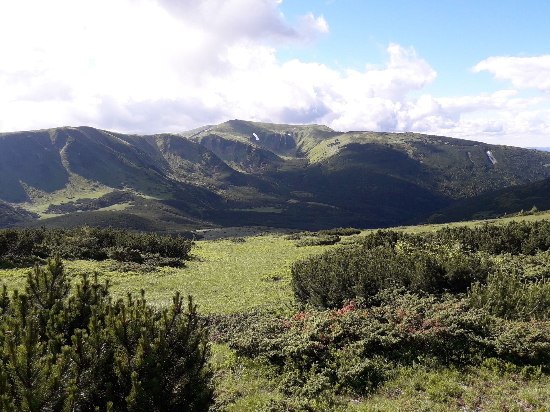
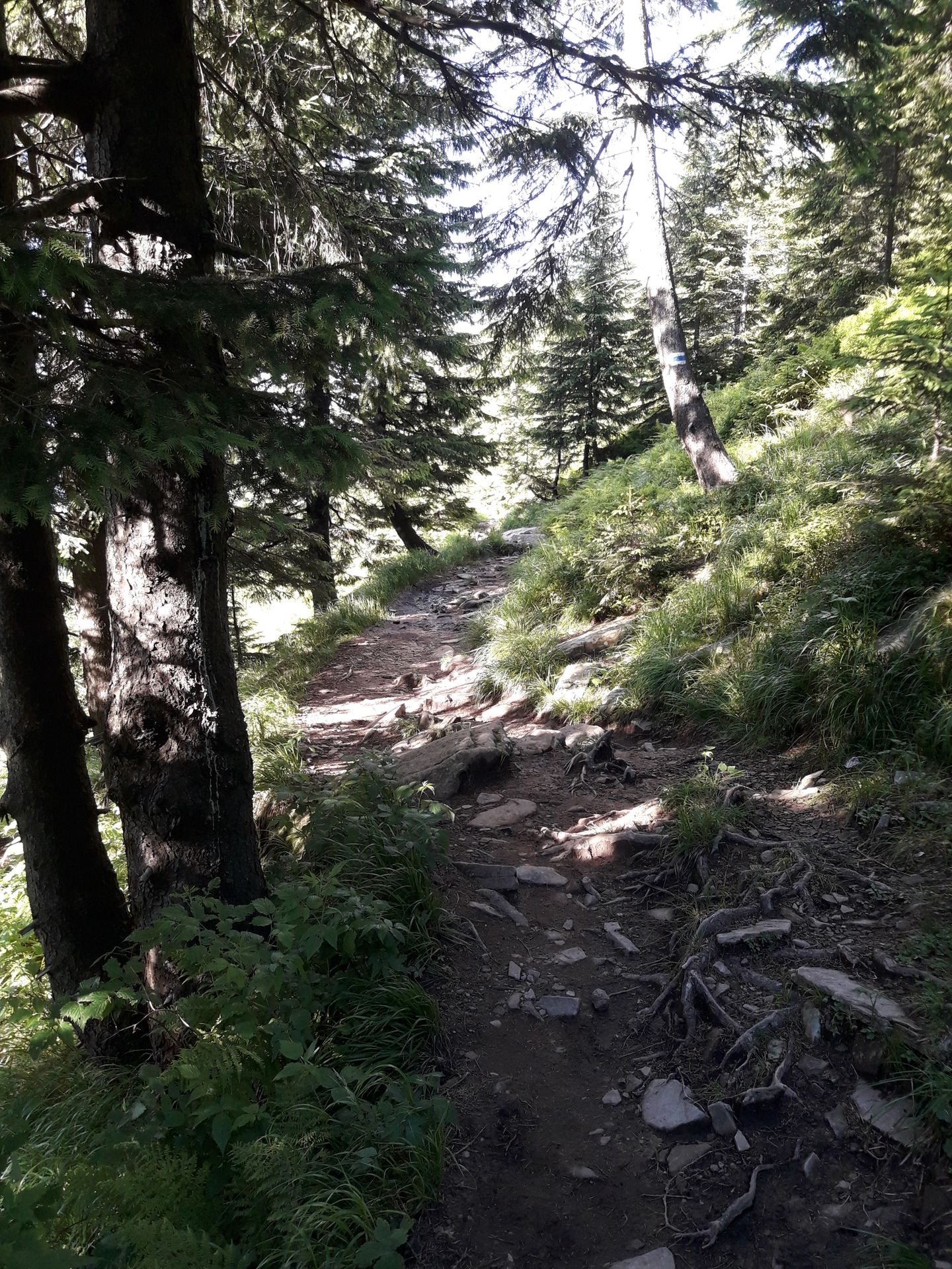
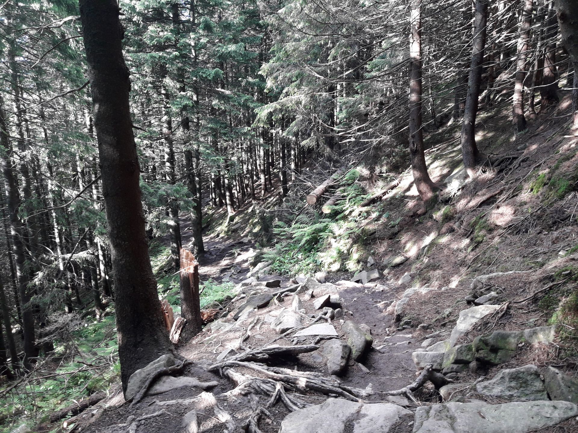
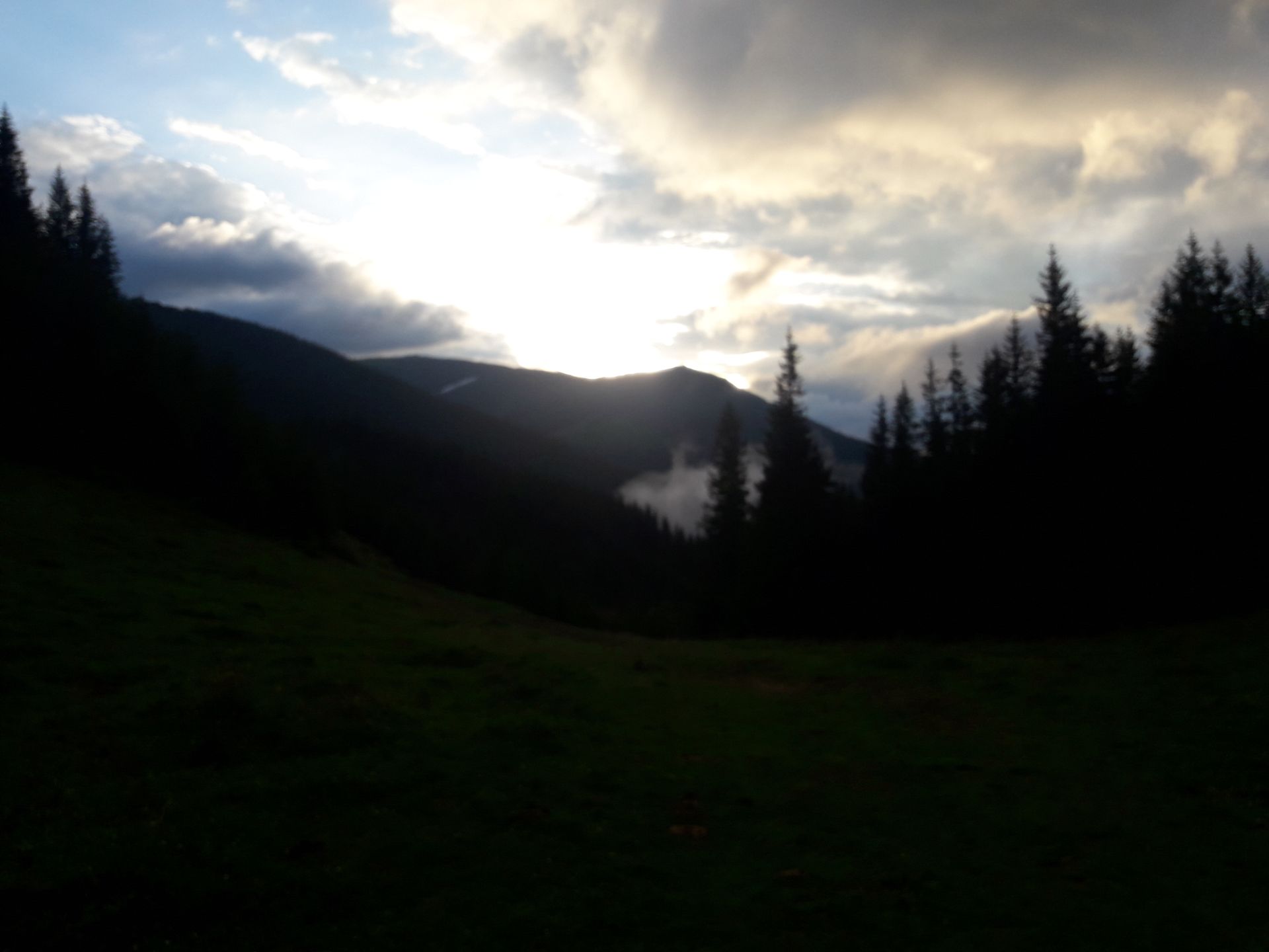
On Saturday morning (June 23, 2018), Aljoscha gets up around six o'clock and makes coffee. It's also time for me to get out of bed. After a shared breakfast - I'm offered bread, sausage, bacon, and coffee - we say goodbye and I set off with Rango into the mountains. I have planned a ridge hike on a section of the Chornohora (Black Mountains). The mountain range is the highest in Ukraine and part of the western Ukrainian Carpathians. After leaving Jasinya to the southeast, the trail leads us through a wet meadow. After 10 minutes, my feet are soaking wet. Then we continue along a frequently traveled path. The next few hours turn into a real mud battle. There's no improvement in sight, as it starts drizzling again. After about three and a half hours and nearly 9 km, we take a break at Polonina Shessa, a collection of small huts. Some residents are just leaving for the valley with horse and cart, probably to sell dairy products. I have a sandwich to eat for strength and gather some blueberries that are plentiful all around. Unfortunately, the weather is too bad to linger, with drizzle and cold wind forcing us to move on. After another 90 minutes of hiking, I notice that we have deviated from the trail and decide to go about 500 m cross-country. We have now crossed the snow line and have to struggle through waist-high snow-covered bushes at times. It's quite a challenge. After finding the path again, it leads us up white slopes to Mount Petros. A subtle snowstorm accompanies us for a while. We reach the 2020 m high summit at 2:45 p.m. The weather still doesn't invite us to linger or enjoy, so we immediately start the descent. Due to the wet slopes, the descent is much more unpleasant than the ascent. At times, I slide down the path. Now we also encounter several other hikers, until then we seemed to be the only ones enjoying the mountains. After descending to about 1500 m, we walk about 5 km at the same altitude along the mountain ridge to a shelter where I plan to spend the night. We reach the establishment at five o'clock and settle in. After covering over 21 kilometers and conquering over 1300 vertical meters, we are both quite exhausted. I chat with a few other hikers and am invited to warm tea and cookies. Rango also gets plenty of treats. My vague knowledge of Russian comes in handy here as the network quality is too poor up here for my translator. I then retire to the sleeping quarters shortly after nine o'clock.
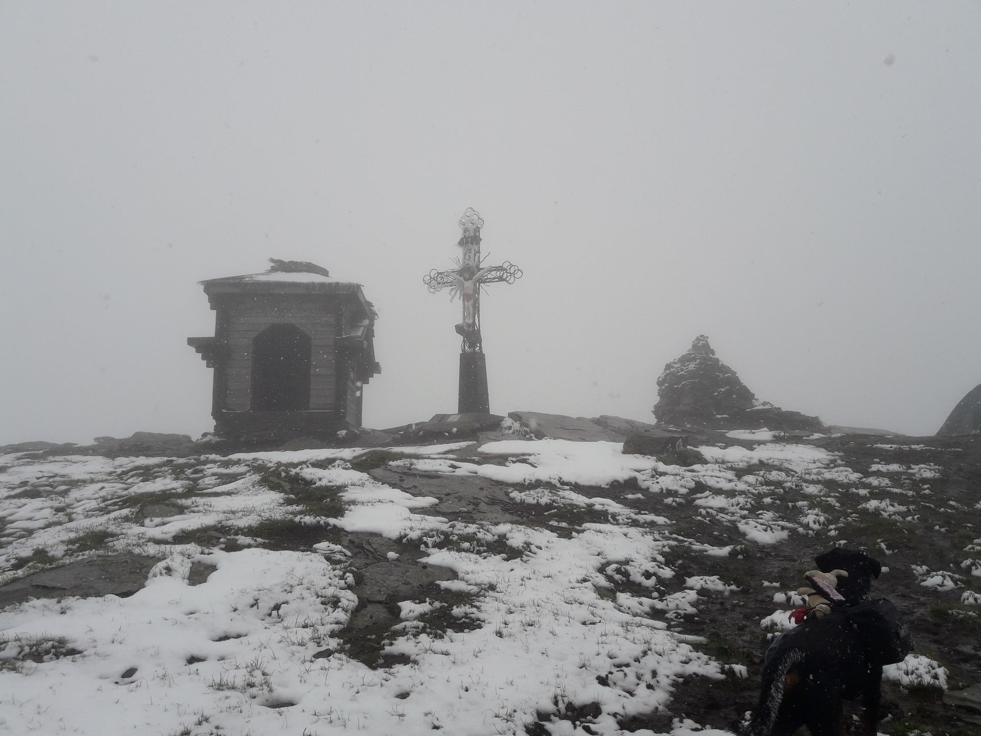
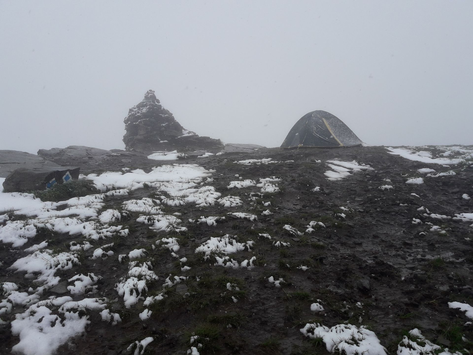
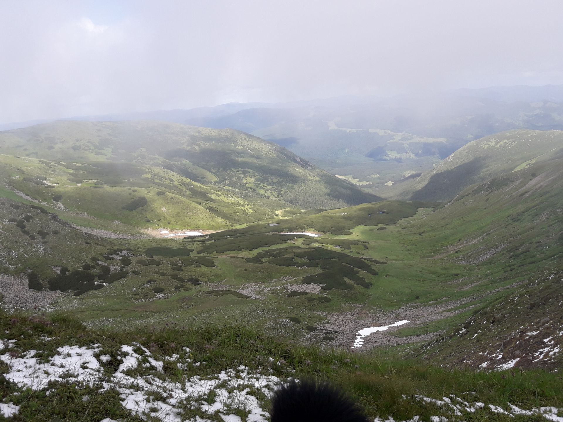
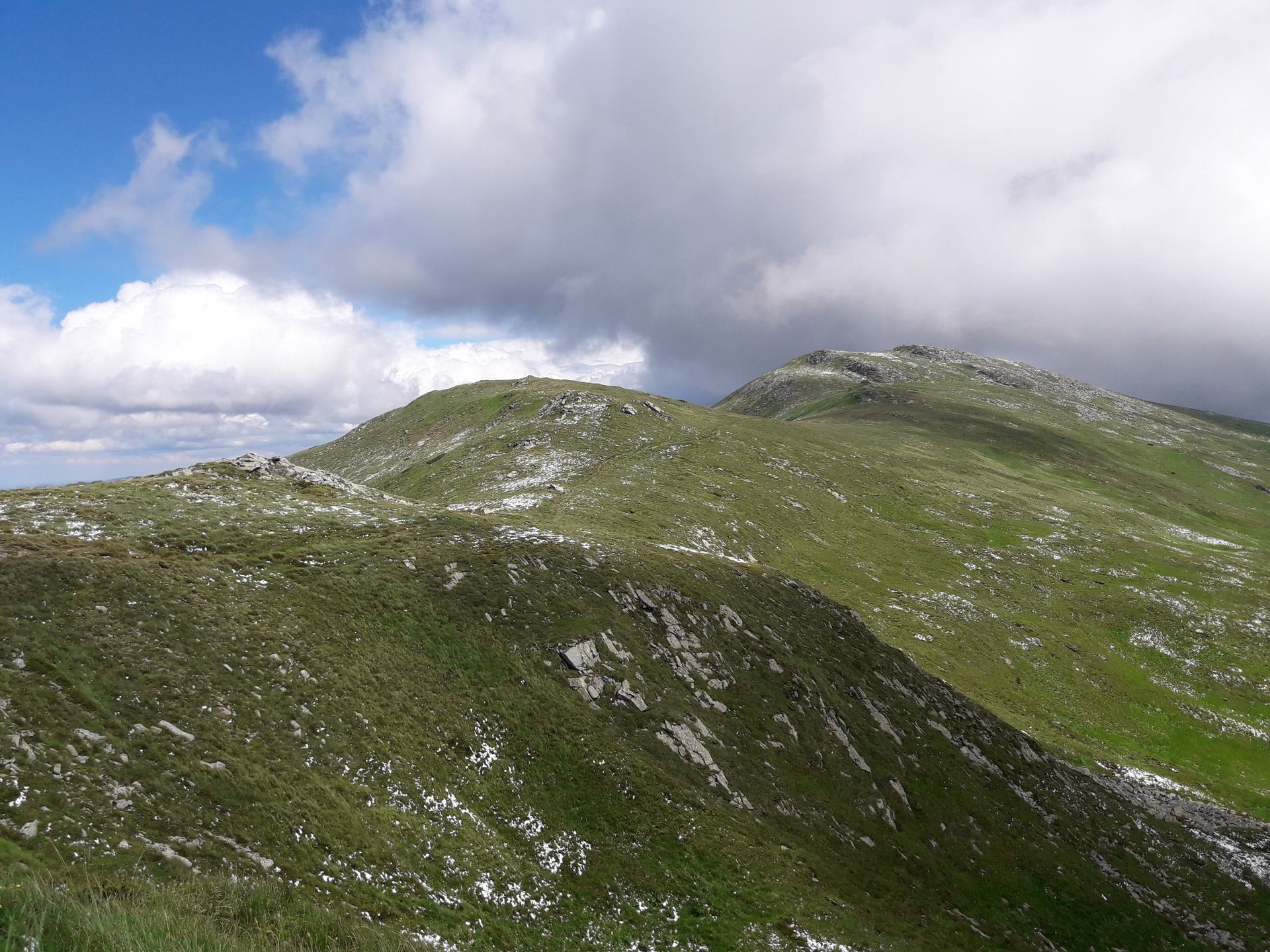
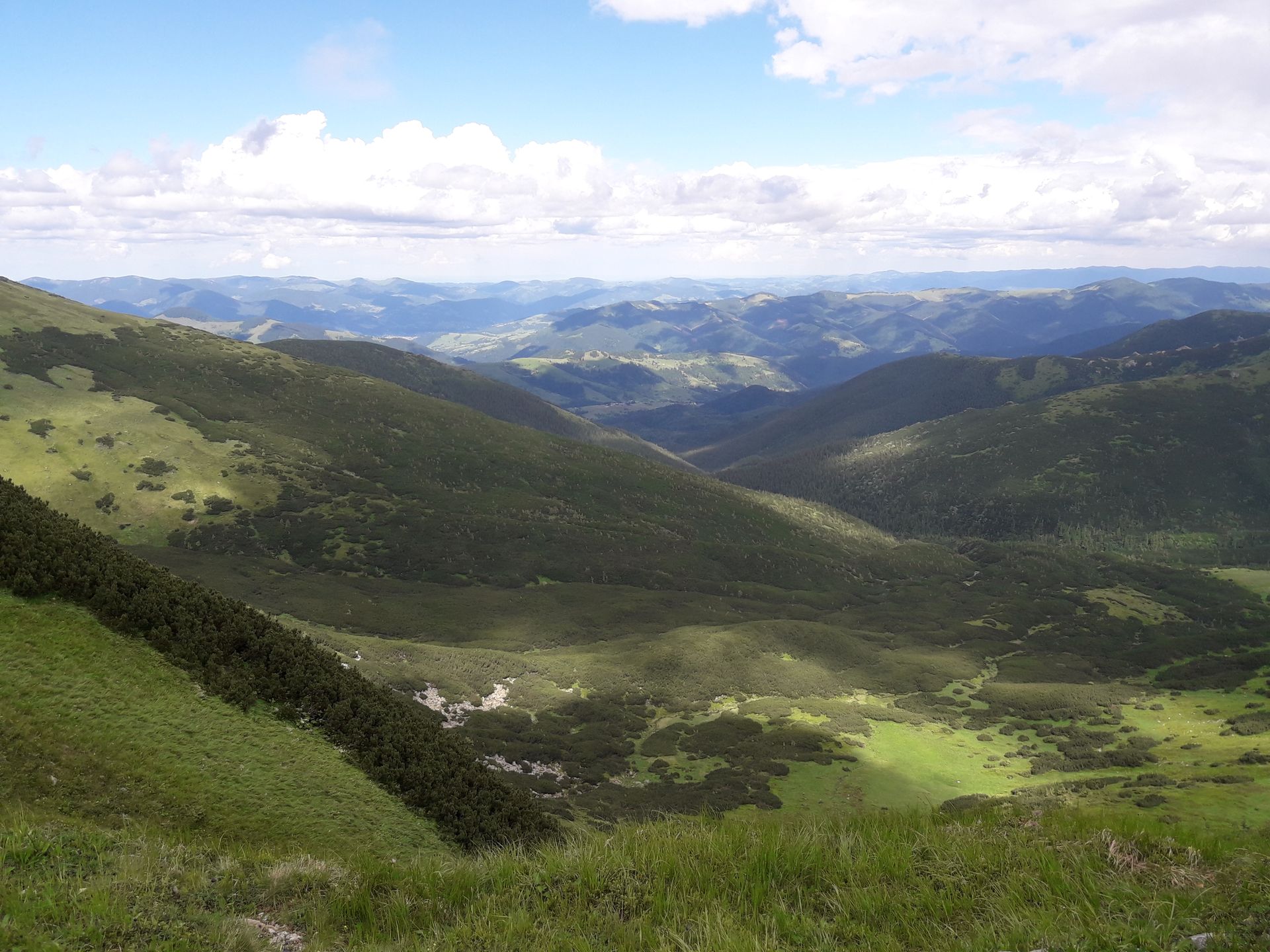
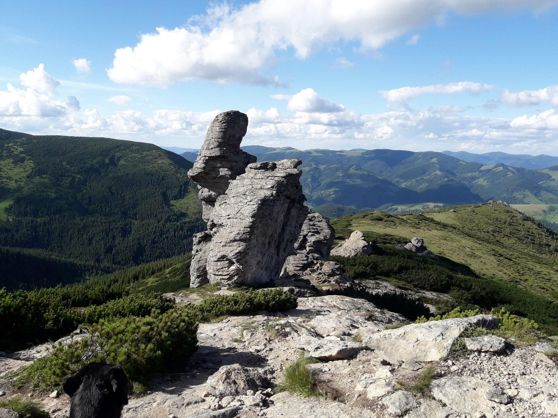
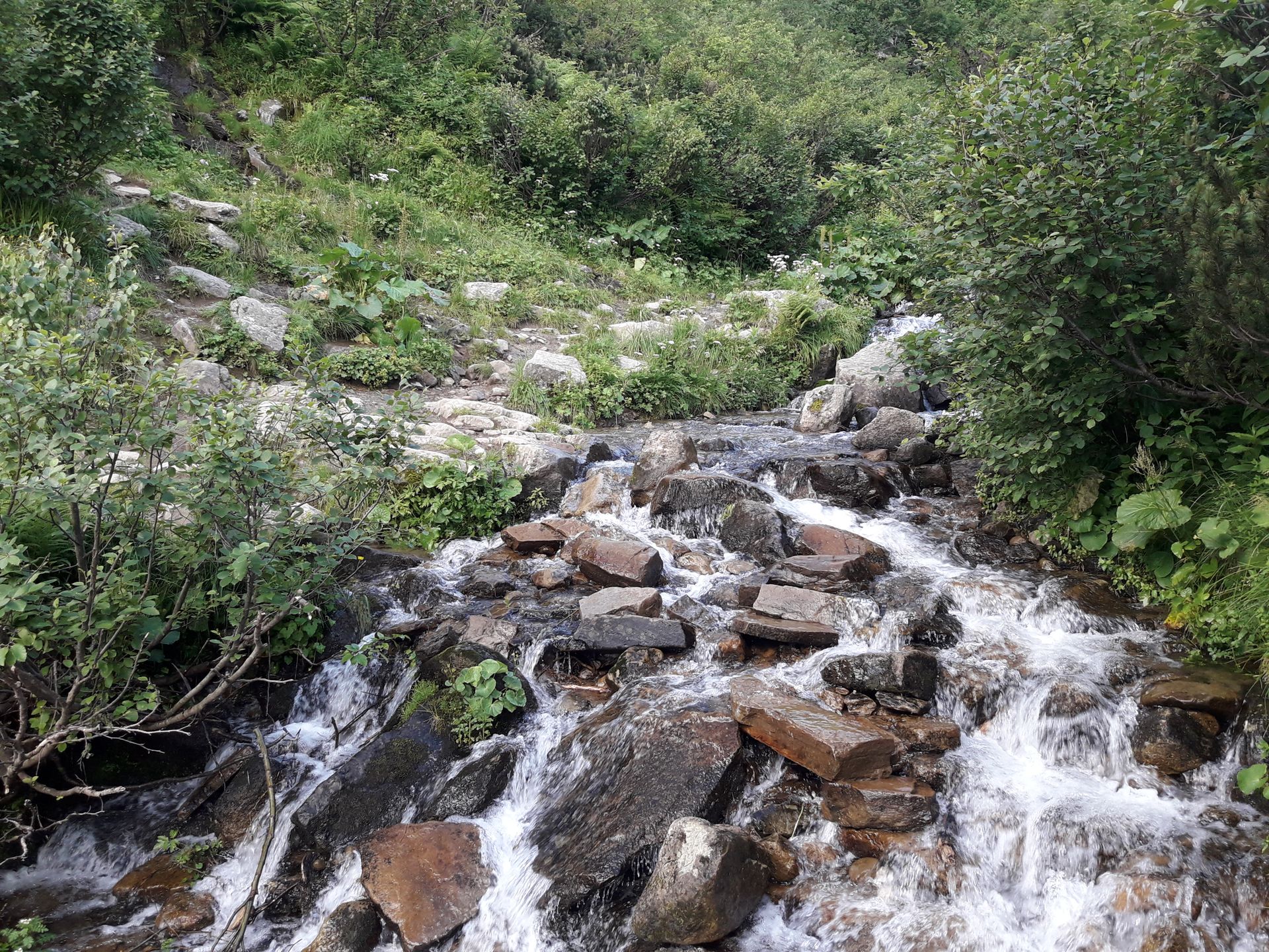
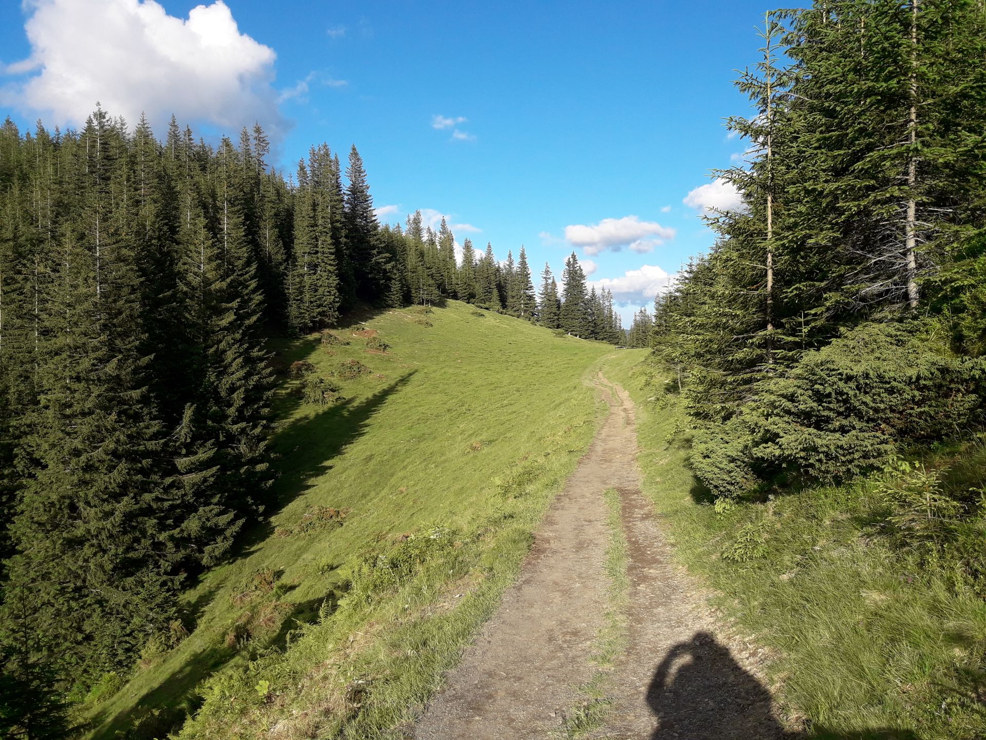
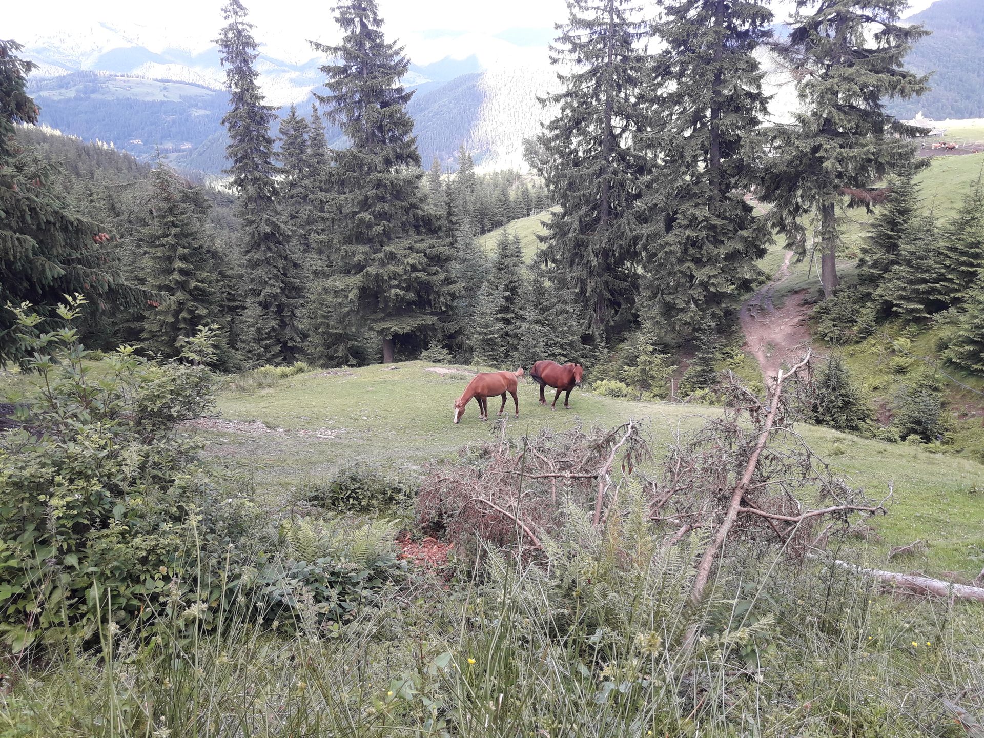
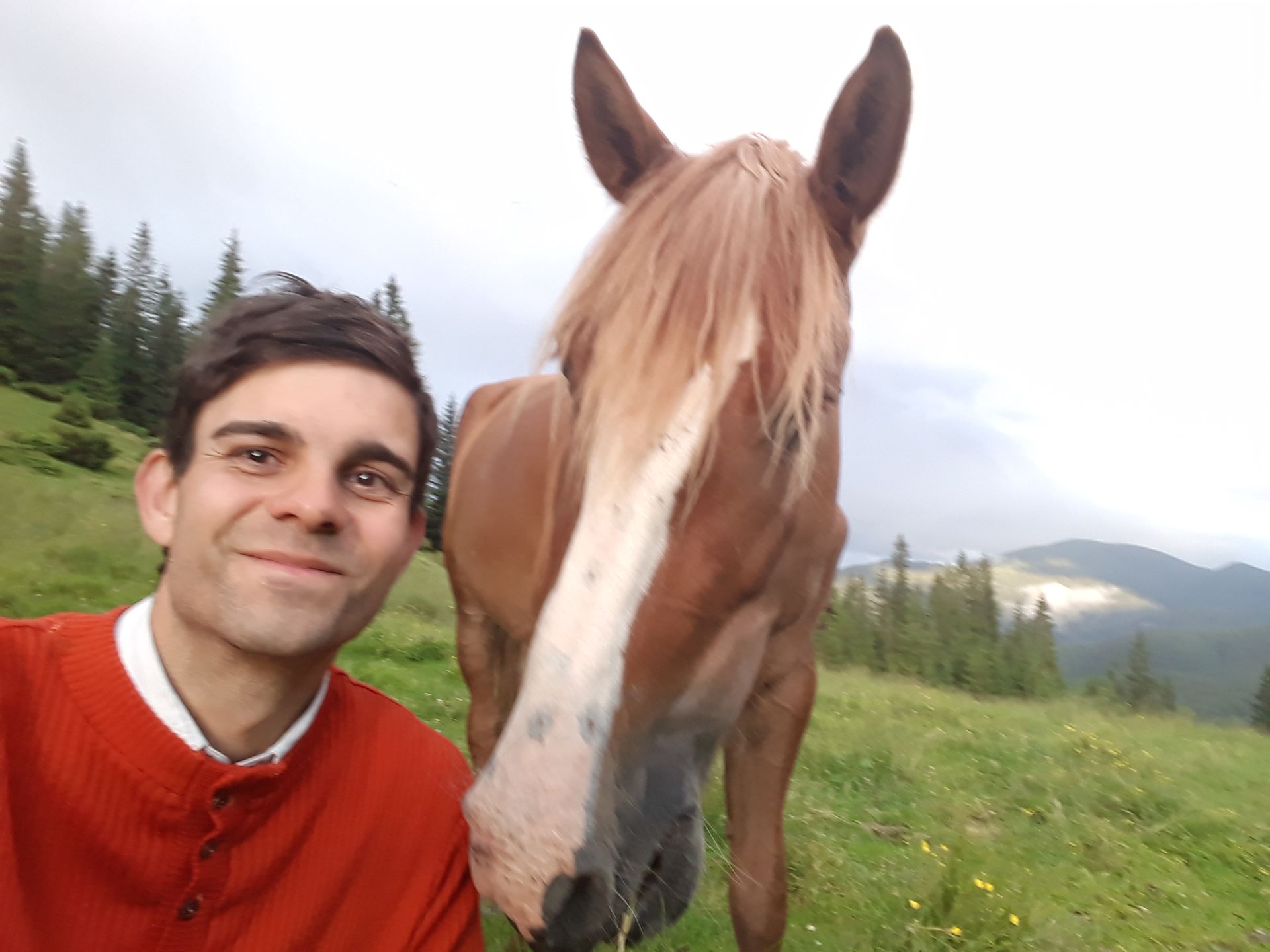
The next morning, there is a general sense of departure around eight o'clock, and we also get up. I am treated to a coffee for breakfast, and Rango gets a bowl of leftover couscous. We exchange a few more words, and by half past ten all our stuff is packed. We return to the ridge path, heading southeast. Although there is no precipitation, a strong wind is blowing, pushing foggy air masses up the mountainside constantly. So after 45 minutes, I decide not to climb Mount Hoverla, the highest peak in Ukraine at 2061 m. We continue hiking along the mountain slopes and sometimes along the ridge of the mountain range without being able to see much of the landscape around us. This only changes around half past two, near the 2001 m high Pebra, when I catch a glimpse of a piece of blue sky for the first time and the clouds slowly dissipate. Half an hour later, we can catch the first rays of sunshine, and the clouds clear, revealing the surrounding landscape. Time for a little break! Afterwards, we walk along the mountain ridge for another hour and a half until we start the descent about 2 km before Pip Ivan. I briefly consider climbing to the remote castle, but unfortunately there are no fresh water sources until there, and my supplies won't last until the next morning. The wind has calmed down a bit by now, and we can walk down the mountainside in the evening sunshine. We have truly landed in a magnificent area. We reach the intended hut near the Podnik spring shortly after seven o'clock. There is no accommodation available here, but according to a sign, various dairy products can be bought. We go back a few meters along the trail, and I set up camp on a flat piece of pasture. Rango practically falls into the tent. We have covered more than 20 km in the mountains again and are accordingly exhausted. Nevertheless, I decide to wash some laundry at the nearby spring and hope for a sunny Monday morning and a strong breeze overnight. So the day comes to its well-deserved end among grazing cows and two horses.
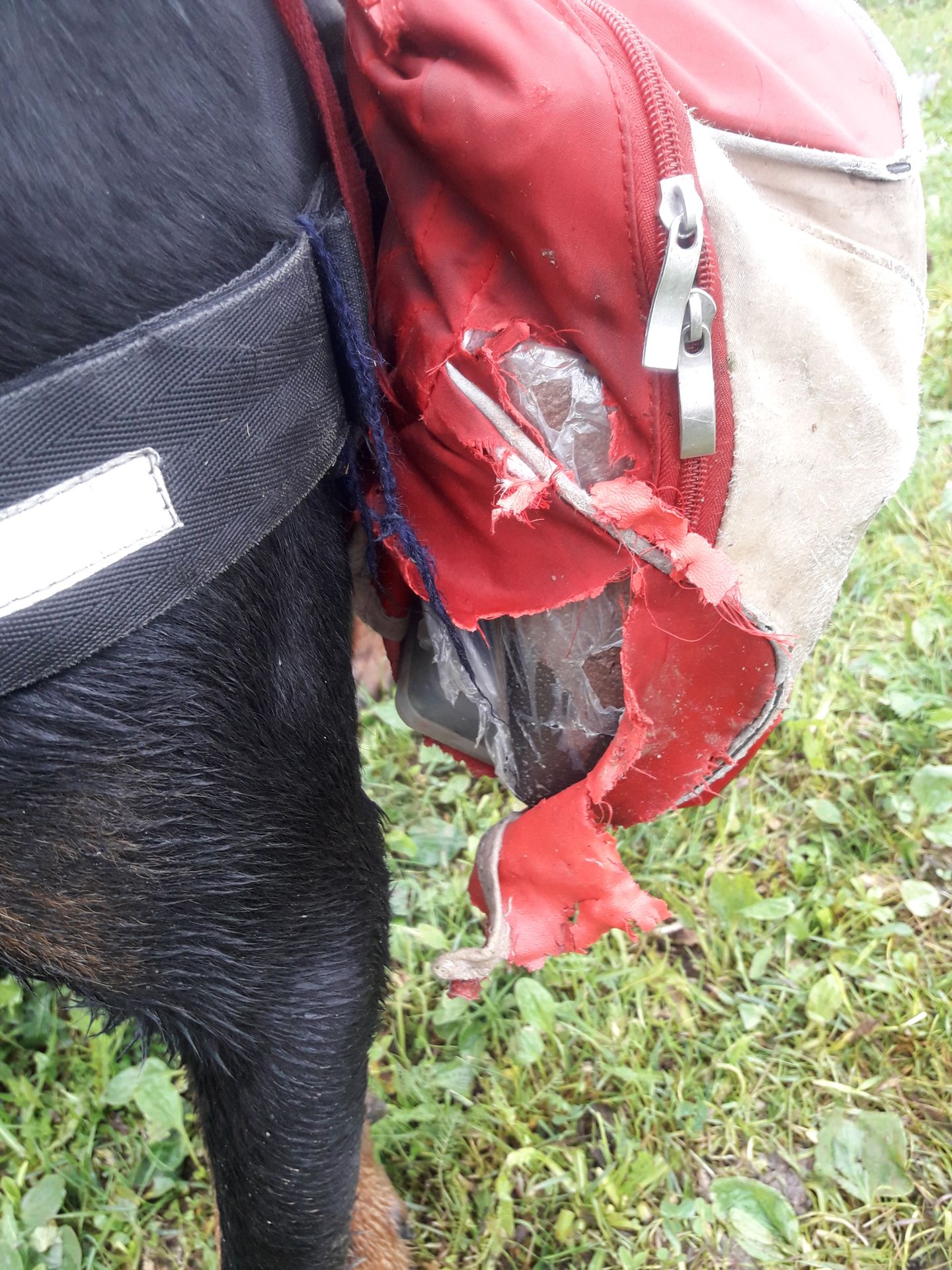
On Monday morning (June 25, 2018), I am actually awakened by a few rays of sunshine tickling the tent fabric around seven o'clock. I put my two pairs of hiking shoes (still soaked) in the sun and attach the solar panel to the tent. Then I go back to bed, as I don't feel like continuing the hike yet. Around nine o'clock, I make a small breakfast and check the food reserves. The supplies should last until the next day, so I decide to take a break and lie down again after breakfast. Rango also shows no signs of wanting to leave the tent. So we doze off well into the afternoon. Then it's time to take down the laundry as the weather threatens to change again. I patch up Rango's backpack again, which he had torn apart on a barbed wire fence on Saturday. I work on a travel report and in the late afternoon, I buy various types of cheese (Brinza, Burda, and a sliced cheese) at the mountain pasture. The sun comes out in the evening and reveals a different face of the surroundings. I brew myself a spruce needle tea for dinner to counter the impending cold and go to bed early.
Lembetsani ku Newsletter
Yankhani
Malipoti amaulendo Ukraine