Neuseeland: 8000km solo durch das schönste Ende der Welt
vakantio.de/8000km_durch_neuseeland
Day 8 - Cape Reinga, where new life arises
Diterbitkan: 07.08.2019
Langgan Surat Berita
22.12.2014
At the Little Kitchen Café in Mangonui, I find an acceptable breakfast, order a half portion and two coffees and I'm already $18 poorer. So the supermarket is somehow cheaper...
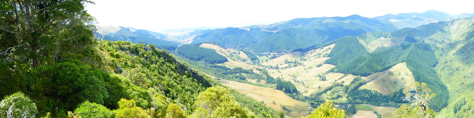
The sun is shining and I leave shortly before half past 9. Today I have a pretty long way to go, as according to the weather report, there will be more clouds and possibly rain in the next few days. In Awanui, I refuel and then turn onto Highway 1F to the north onto the Aupouri Peninsula.

On the way to Cape Reinga
This road leads 105km to Cape Reinga, the almost northernmost point of New Zealand and an important place in Maori mythology.
Due to the curves, you can't go faster than 60 km/h, so I only arrive in Cape Reinga around noon.
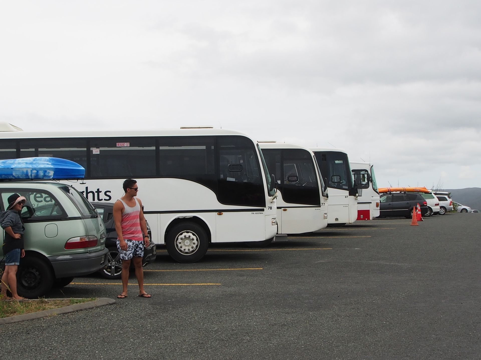
Never before have I seen such a density of tourists. I was already irritated by tour buses on the drive up here, and for the most part, they are Indians, Chinese, and Japanese or Koreans who travel here in groups.
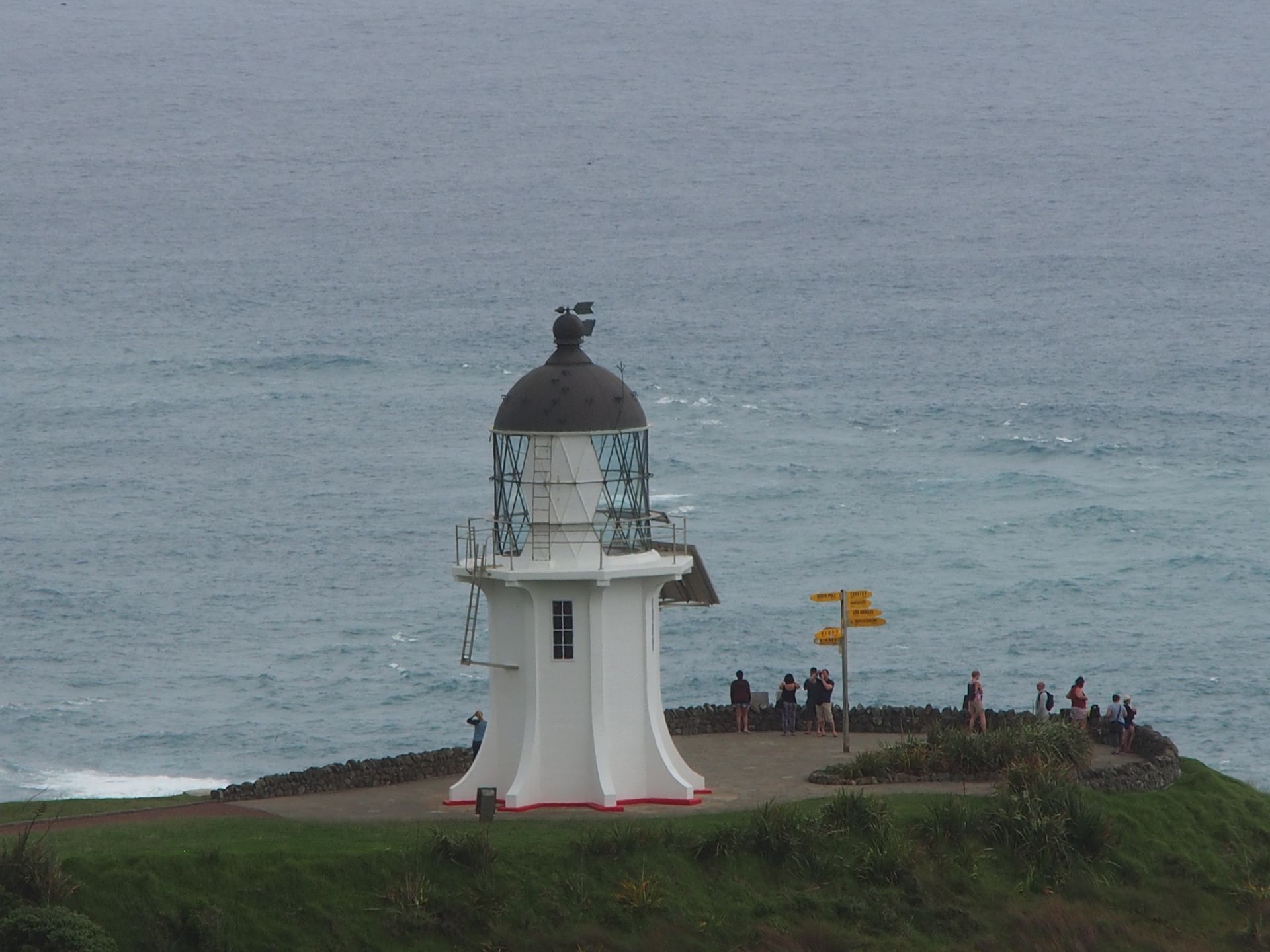
Since this is a sacred place, fortunately there is nothing else here that keeps the masses. There is nothing to eat, drink, or buy - that is tapu (Maori for forbidden). Only parking and restrooms and the path to the lighthouse or some tracks.
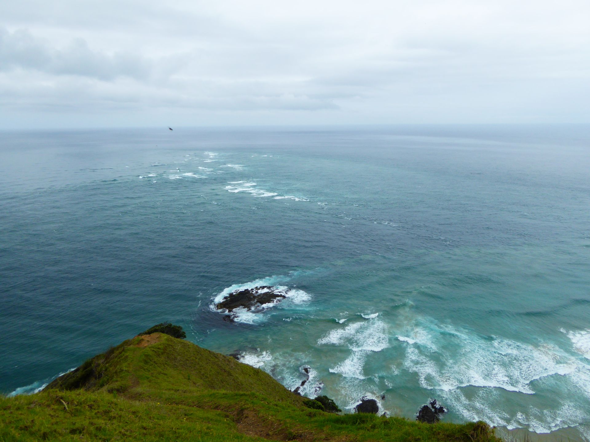
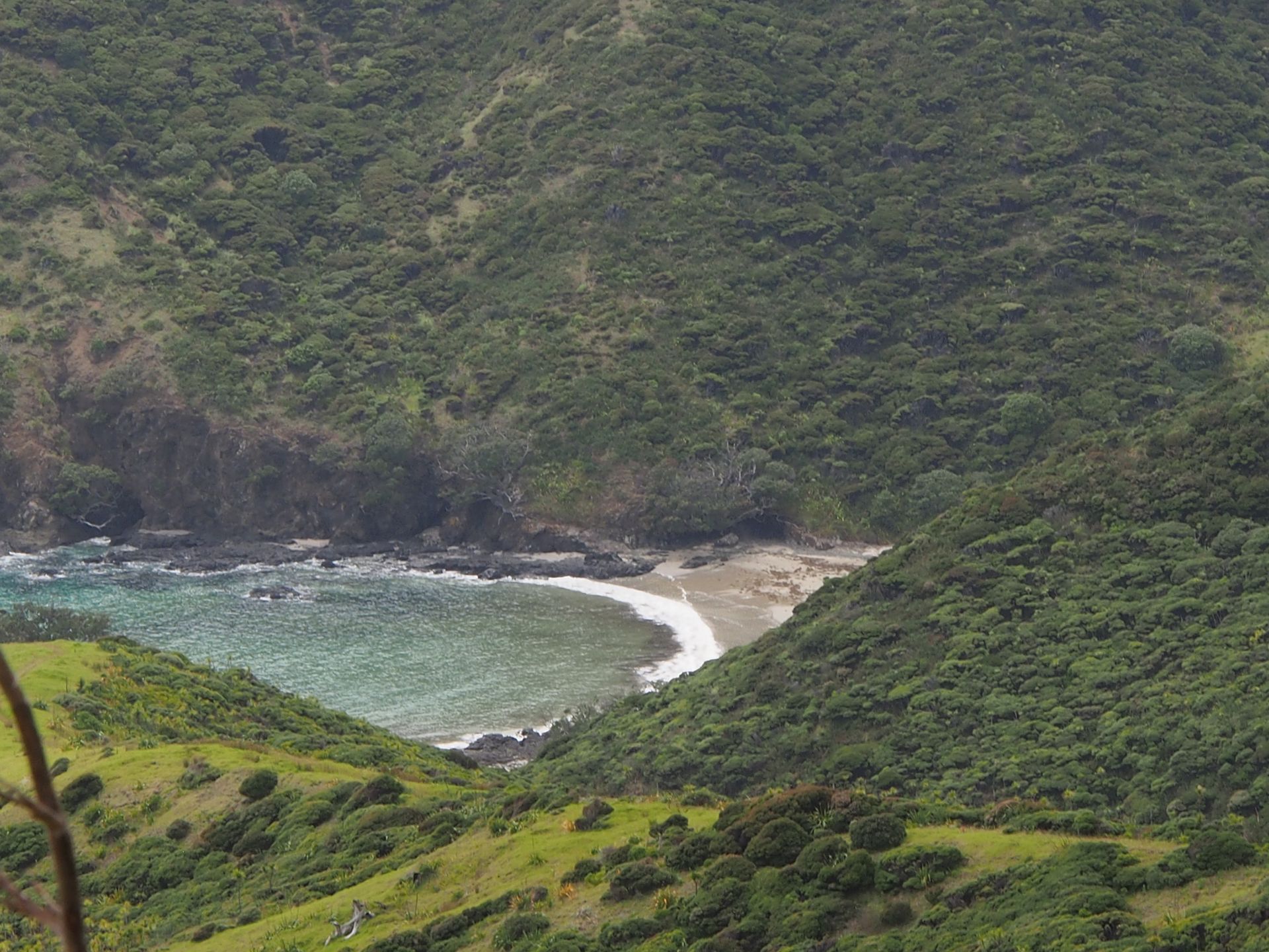
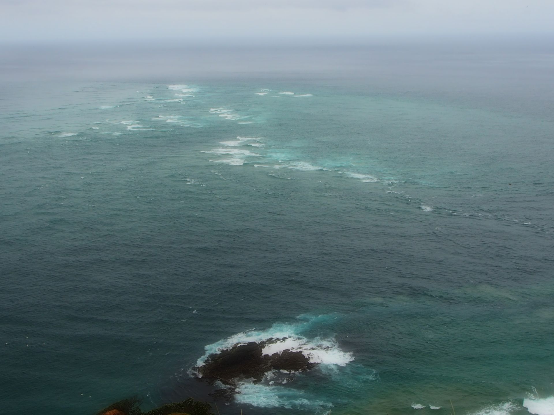
The path down is accompanied by a great view, and from a distance, you can already see the meeting of the two seas: Tasman Sea and the Pacific Ocean. The lighthouse has been there since the mid-18th century. Today it runs automatically and is powered by solar panels. Only 3km further east is the real northern cape of New Zealand, but it is on Maori land and not accessible.
Cape Reinga gets its name from a derivation of the Maori name Te Rerenga Wairua, which means roughly 'Place where the spirit dives into the underworld' in German. In their mythology, this is a sacred place from which the souls of the deceased embark on their final journey to the legendary Hawaiki. They glide into the depths from the roots of the old Kahika tree, which is on the slope of a rock below the cape where the lighthouse stands today.
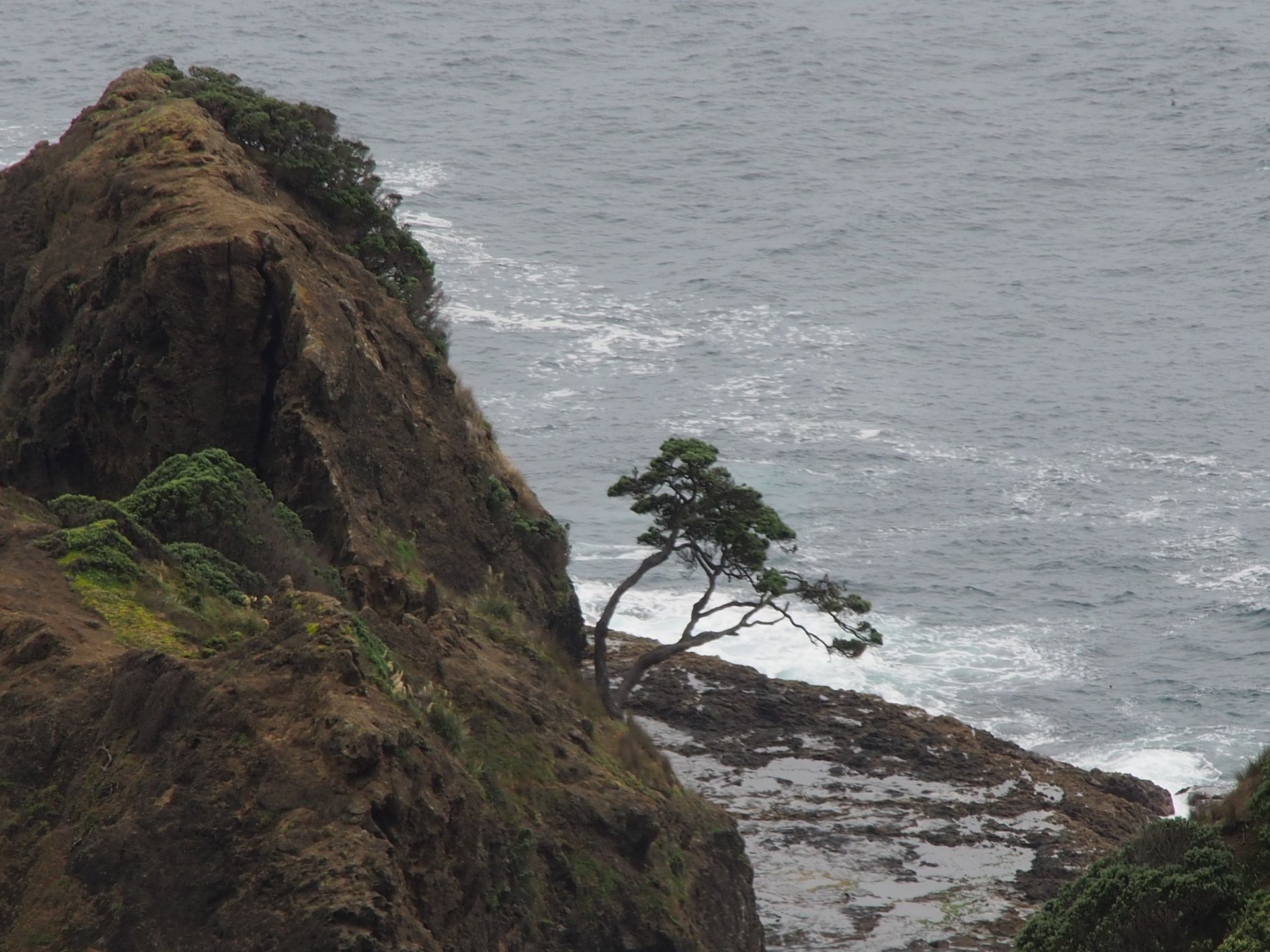
The Kahika tree
They grant themselves one last look back from the uninhabited Three King Islands, which can be seen on the horizon with good visibility - unfortunately not today, because that would be 50km.
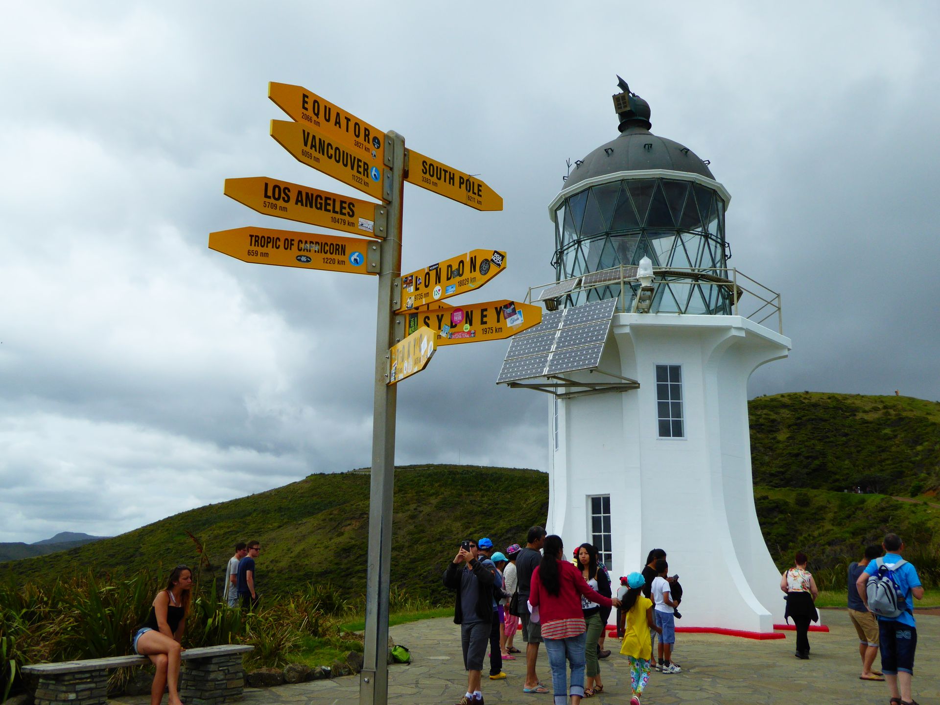
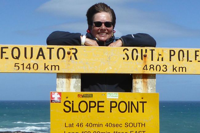
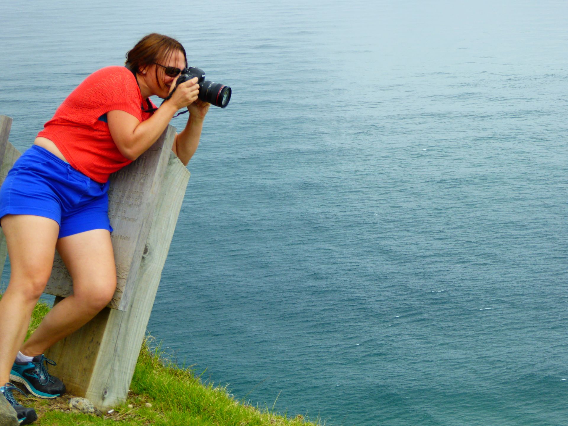
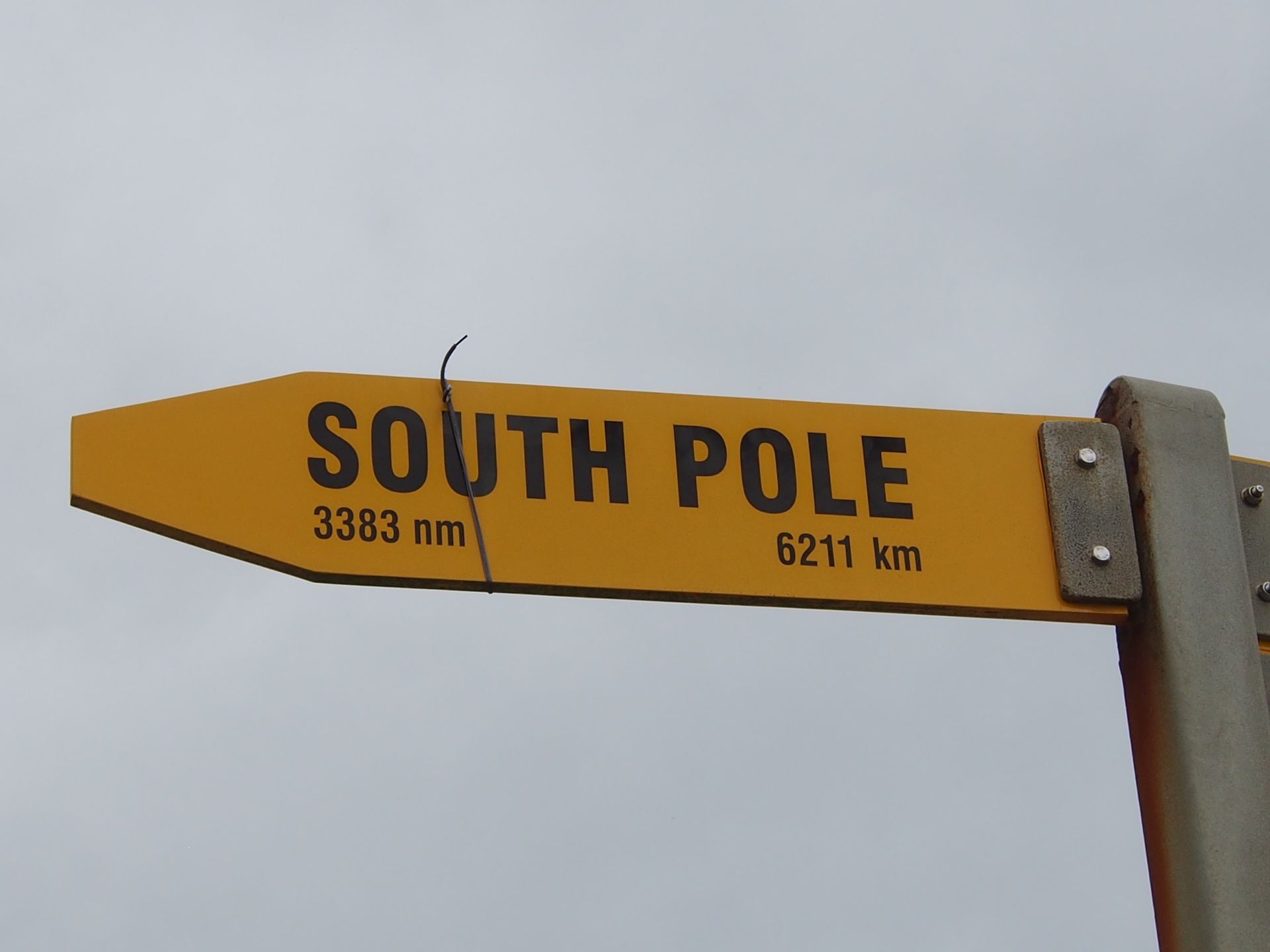
I take some photos of the lighthouse, the meeting waters, and the two seas, and slowly make my way back. The South Pole is only 6,200km away from here. It is three times as far to London. And luckily, the Equator is still closer than the South Pole. It's about 21 degrees today, which may be due to this fact...

In their belief, the Maori also have terms for the two ocean currents, with the western one (Tasman Sea) being the male part that merges here with the eastern one (Pacific) - to create new life again. A beautiful belief for a people that is closely connected to water. Especially in this place, which deals with the souls of the deceased, and right next to it, new life arises from the two seas.
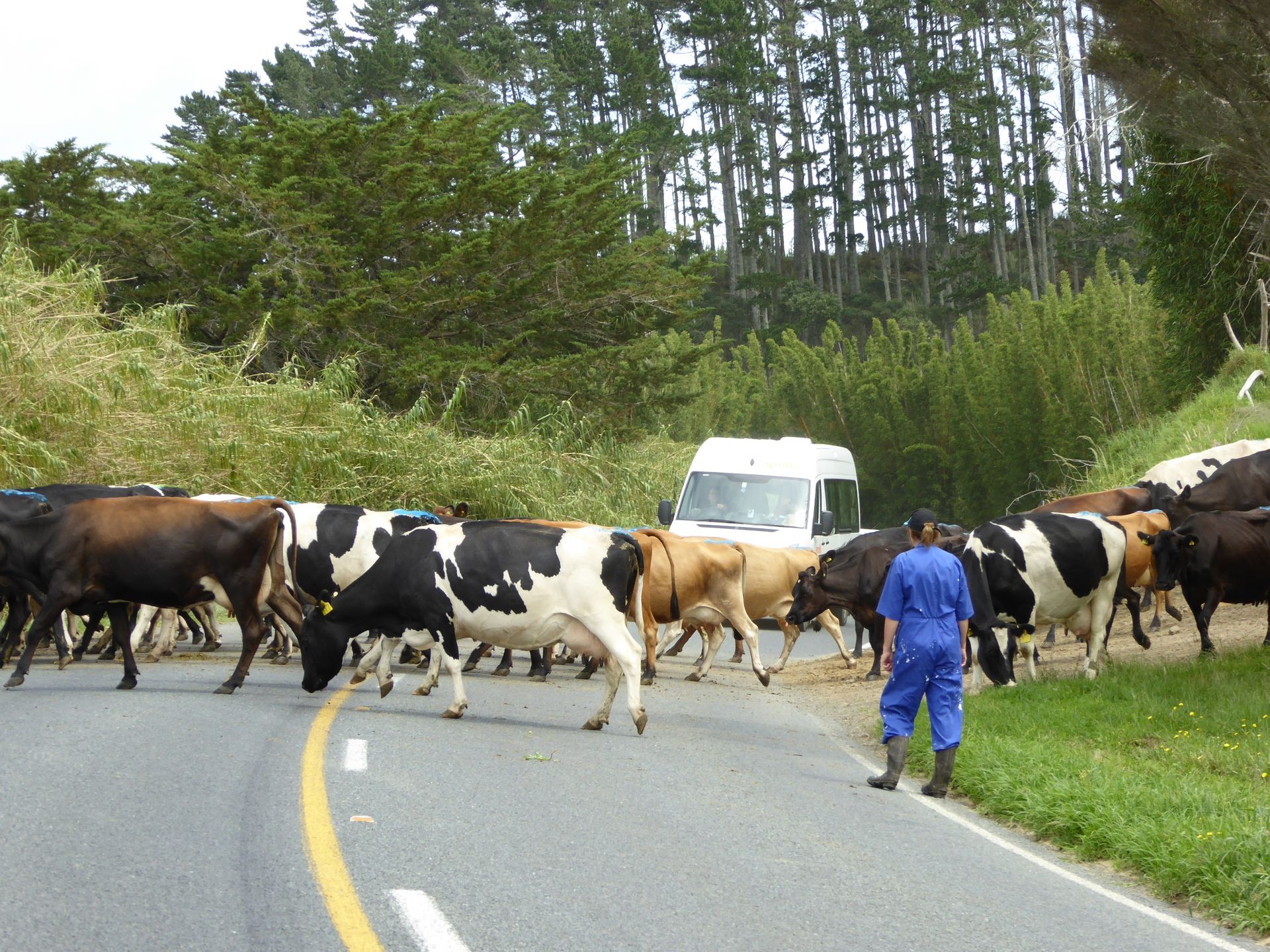
I leisurely walk back up to the parking lot and am overwhelmed by a row of large buses that have now arrived here. That's why I also came across such a caravan of Indians and Chinese.
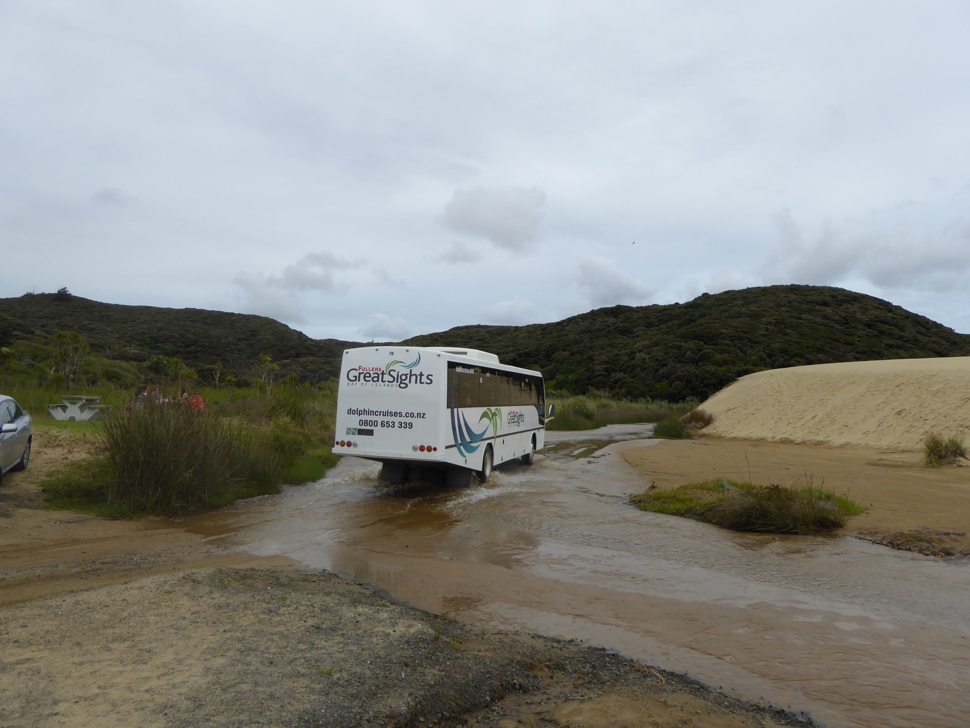
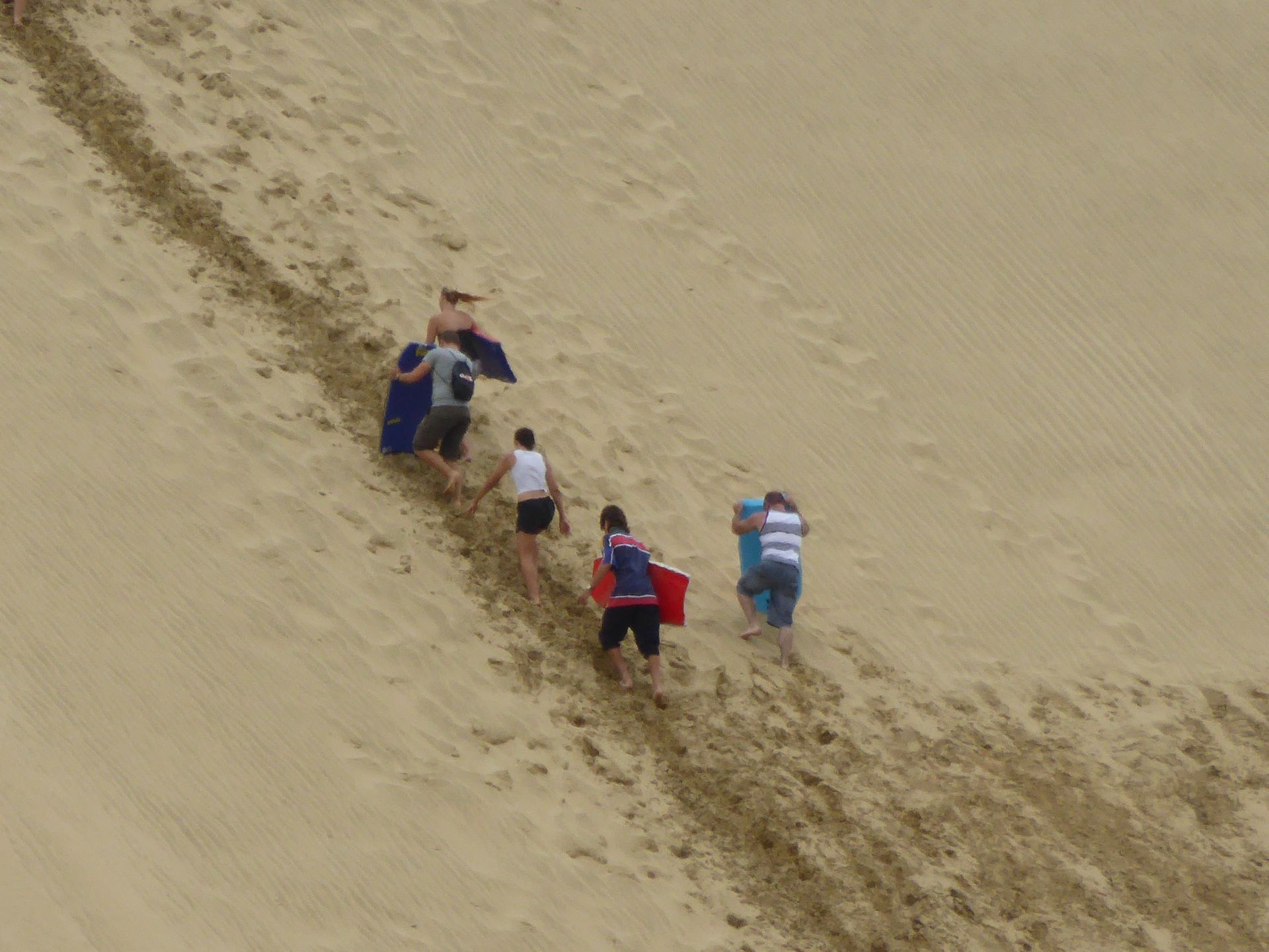
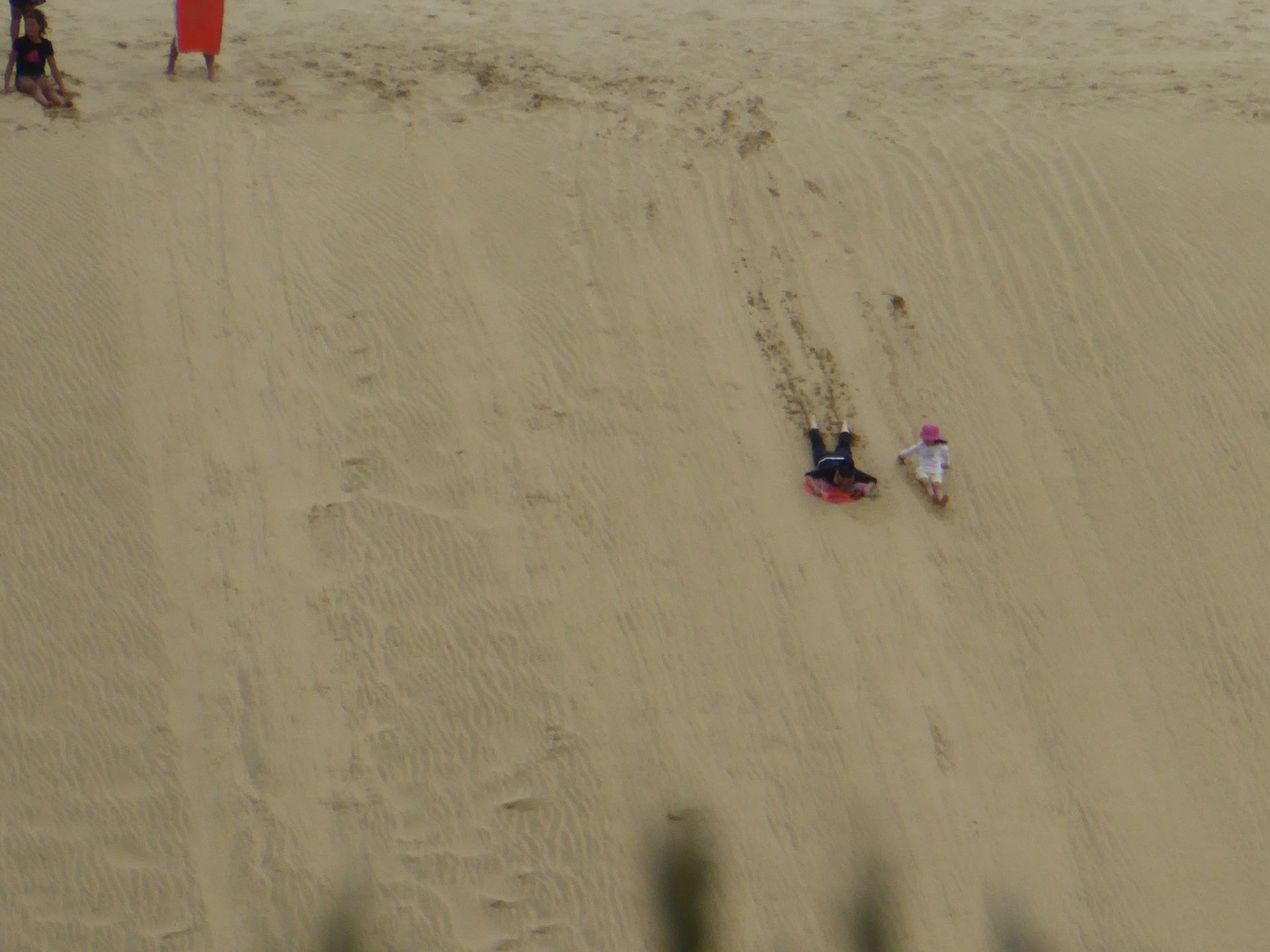
After 1 pm, I leave there and, a few kilometers south, turn off the highway again to the Te Paki Dunes. These are huge dunes that have traveled up to 5km inland. In the middle, there is the Te Paki Stream, a river that is sometimes deeper and sometimes shallower. Here, where I have stopped now, the excursion buses easily pass through, and the people who rent surfboards for dune surfing can also wade through. The chain of people who laboriously climb up the dunes reminds me of the gold miners of the Yukon who had to climb up with all their mining gear over White Pass in winter. However, these ones are wearing shorts and carrying a small board...

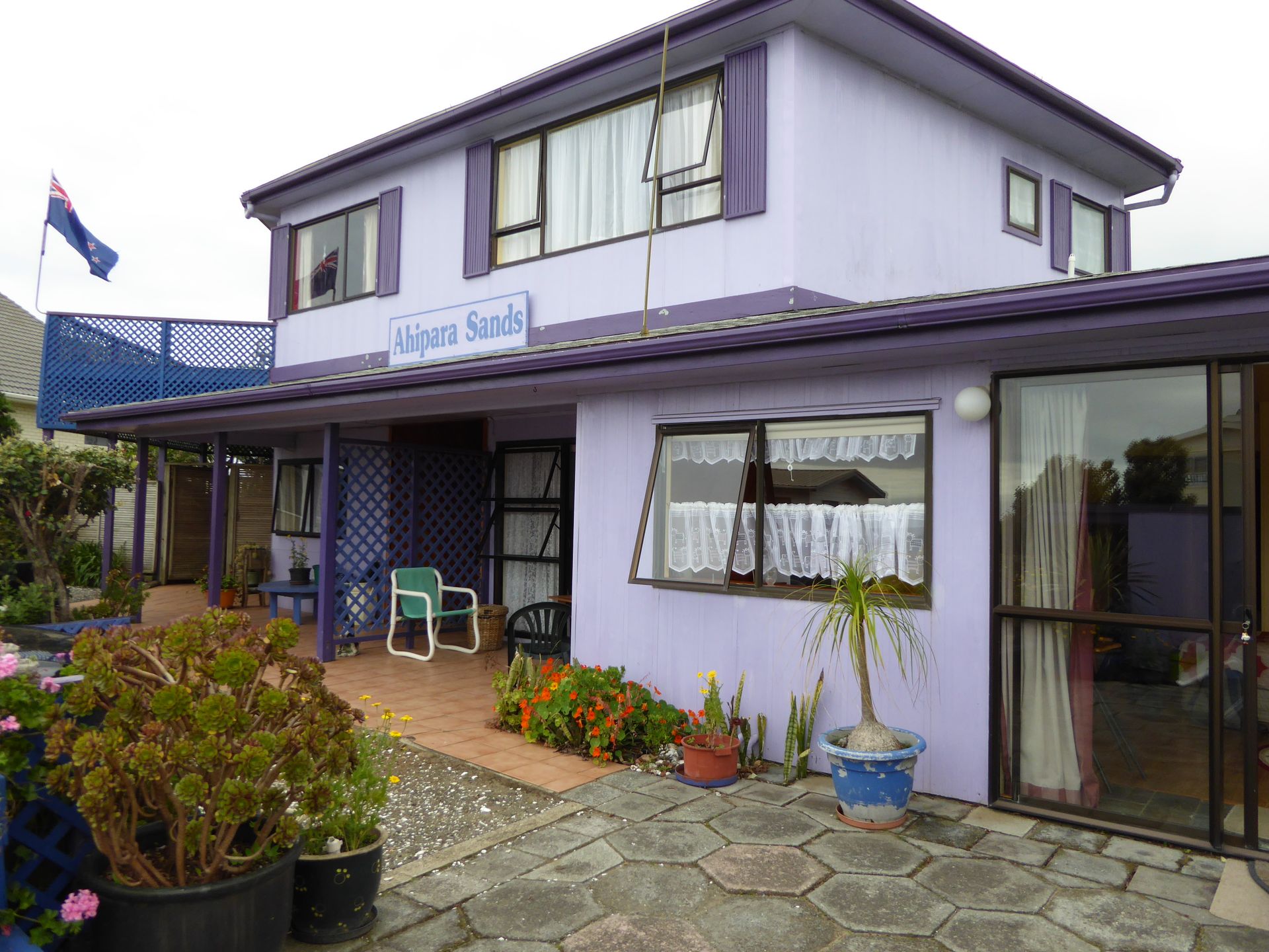
Certainly a fun thing, but you will surely have sand everywhere afterwards. I drive the gravel road back to the main road for 3km and, after leaving the peninsula, go through Kaitaia and turn here, to settle in Ahipara directly on the beach of the Tasman Sea for the next 3 nights.
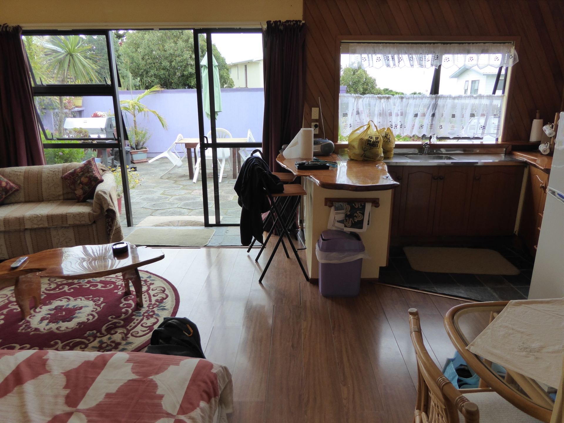
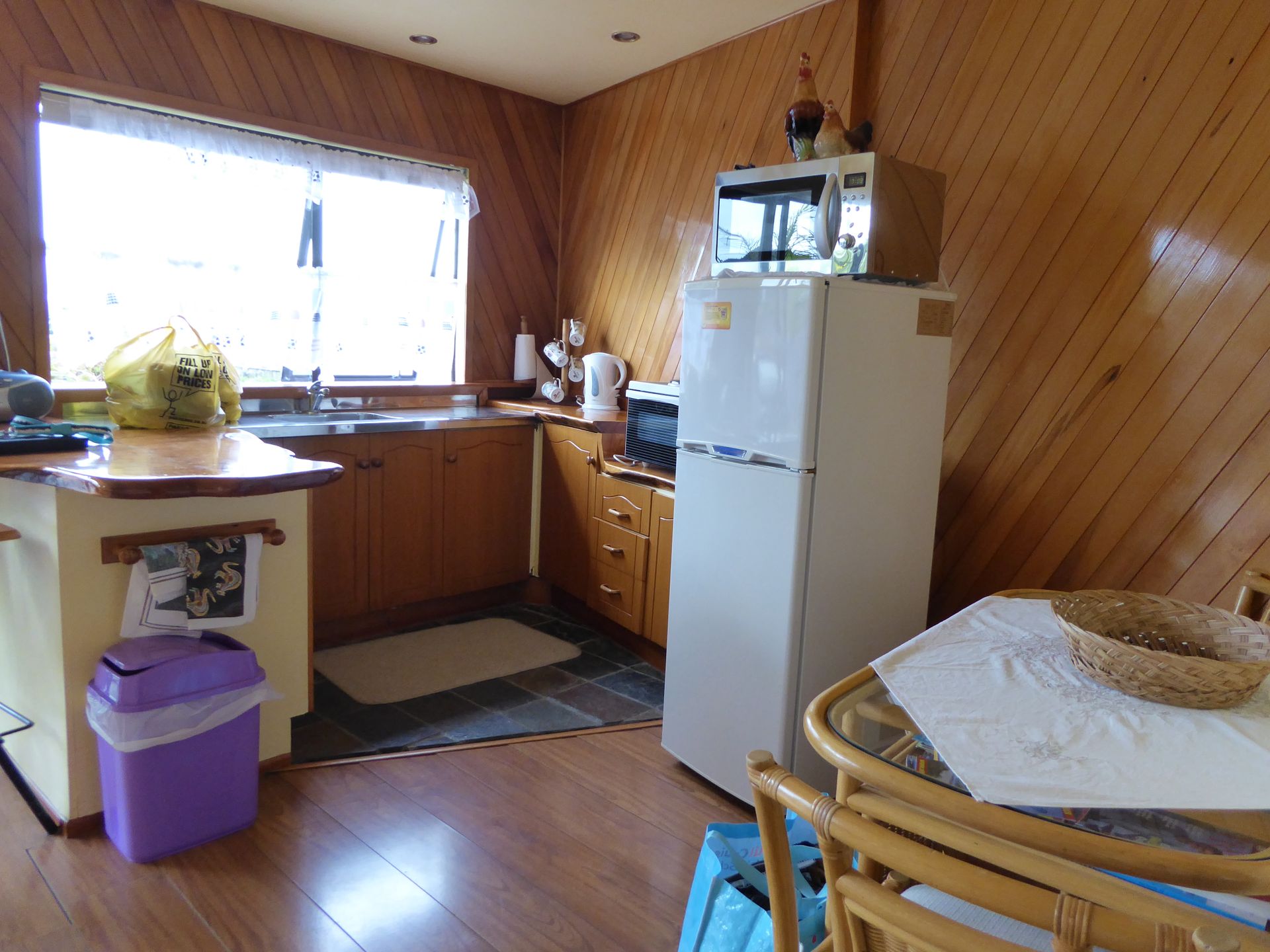
The Ahipara Sands Apartment is located in a residential building that rents out two vacation apartments on the ground floor. Mine is the smaller one, but it is already suitable for a family that will arrive here for Christmas - the cribs are already in the living room. I have a fully equipped kitchen, a bedroom, and a bathroom, and there is a rather poorly functioning Wi-Fi. The beach is 30m away, and from the small terrace, you can see and hear the sea.
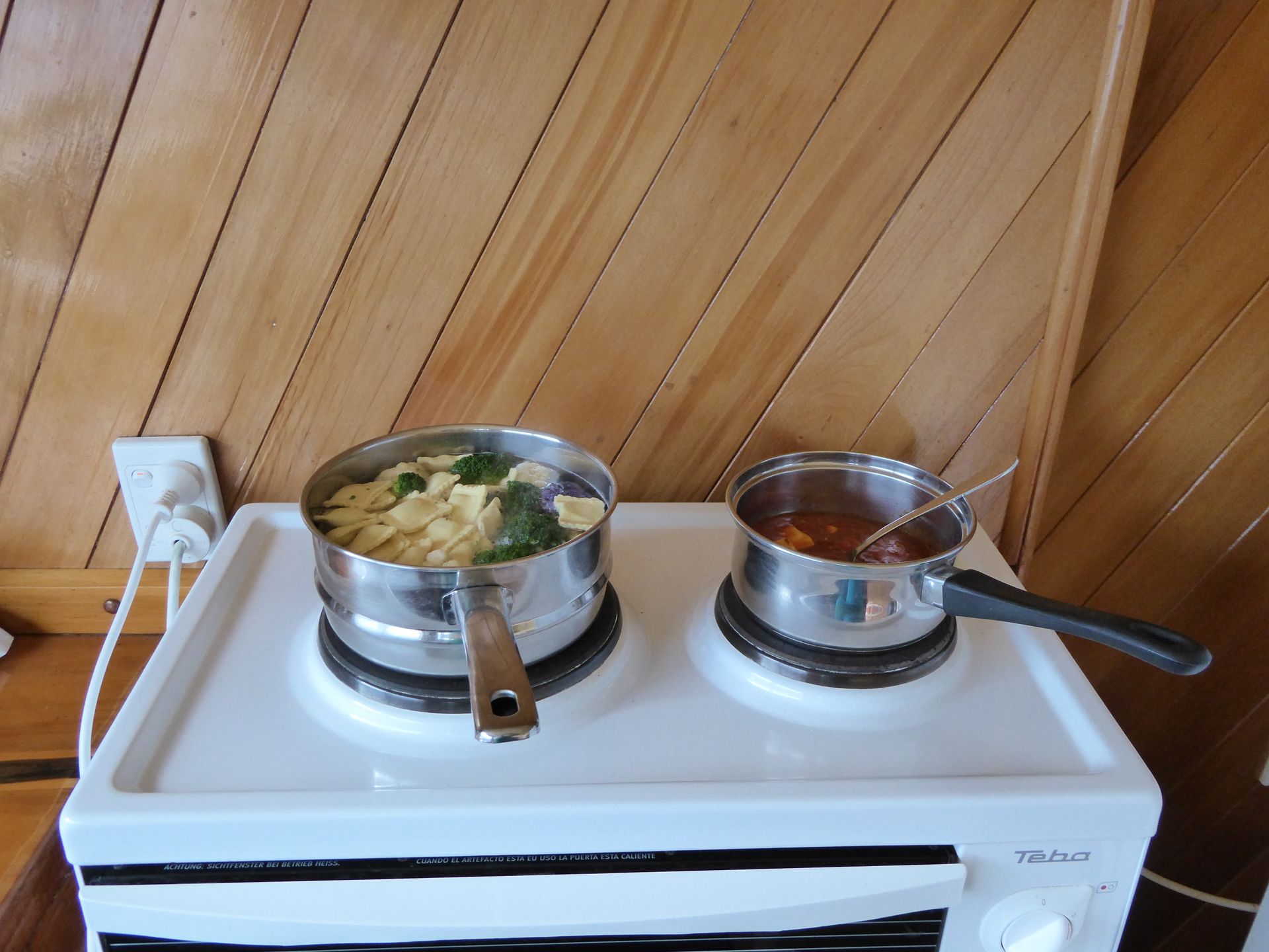
However, I have to drive the 14km back to Kaitaia because Ahipara doesn't have a store, and I do need something to eat for the next few days. So, back, shop, and back to Ahipara again. I cook pasta with tomato sauce and treat myself to a white wine.

Unfortunately, the smoke detector beeps all night, and you somehow can't get used to such a noise, like to the sound of the sea. So I sleep little, mostly with headphones on.
Total kilometers: 298 km
Langgan Surat Berita
Jawab

Laporan perjalanan New Zealand