Island Lake, Fremont Peak, Joy on Earth
Whakaputaina: 08.09.2021
Ohauru ki te Panui
23.8. – 25.8. Island Lake
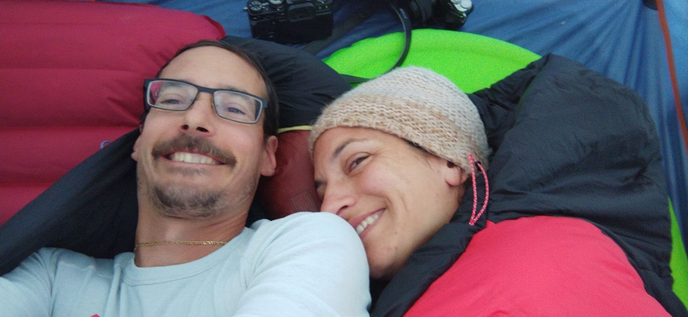
In the morning, Amelia sings "Happy Birthday" to me in bed, a great start to the day.
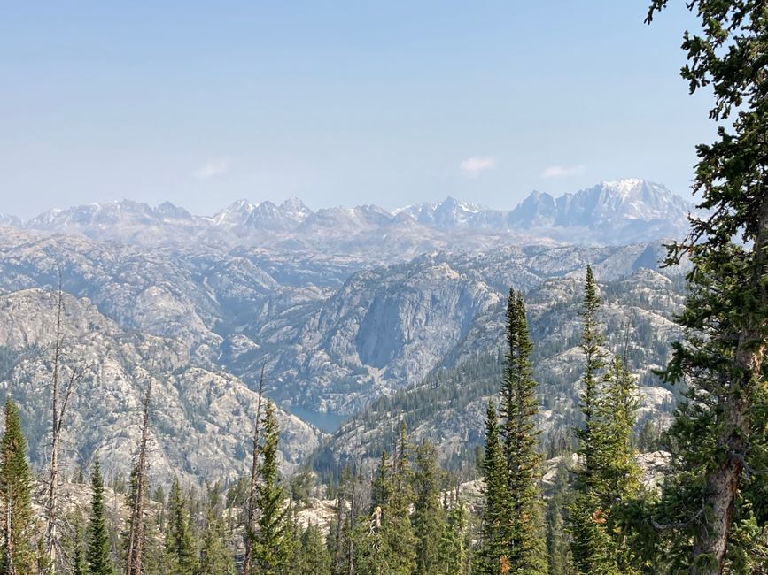
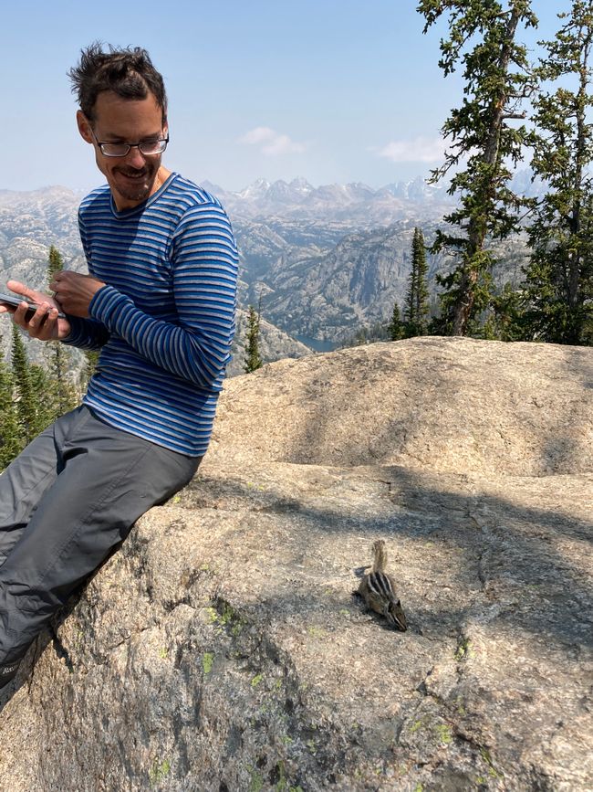
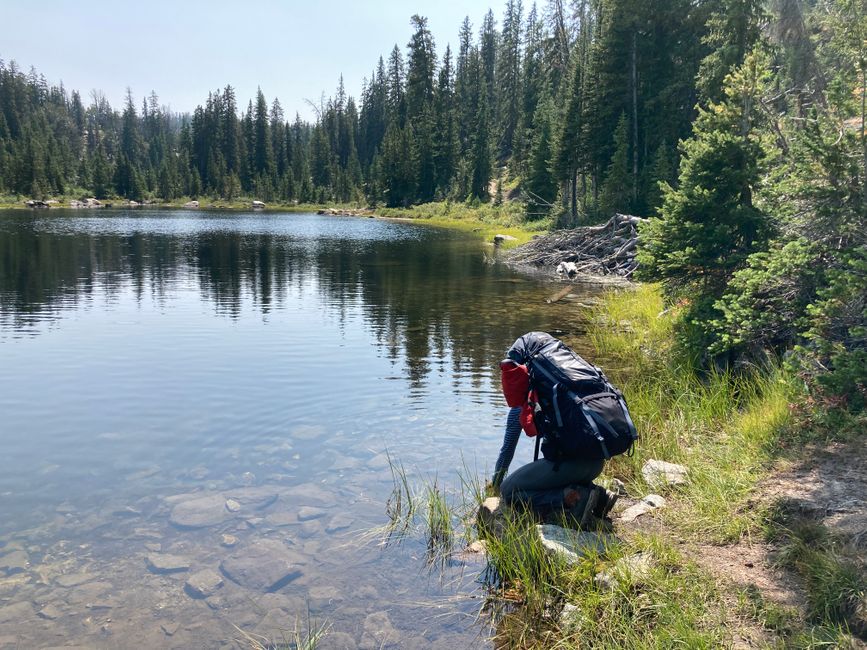
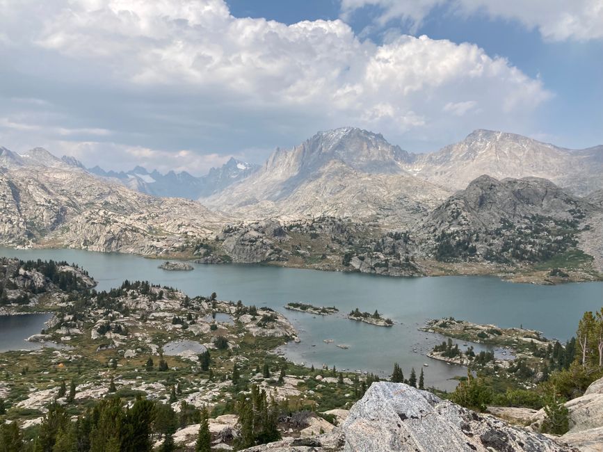
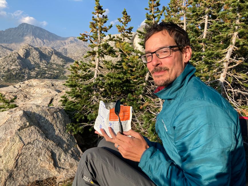
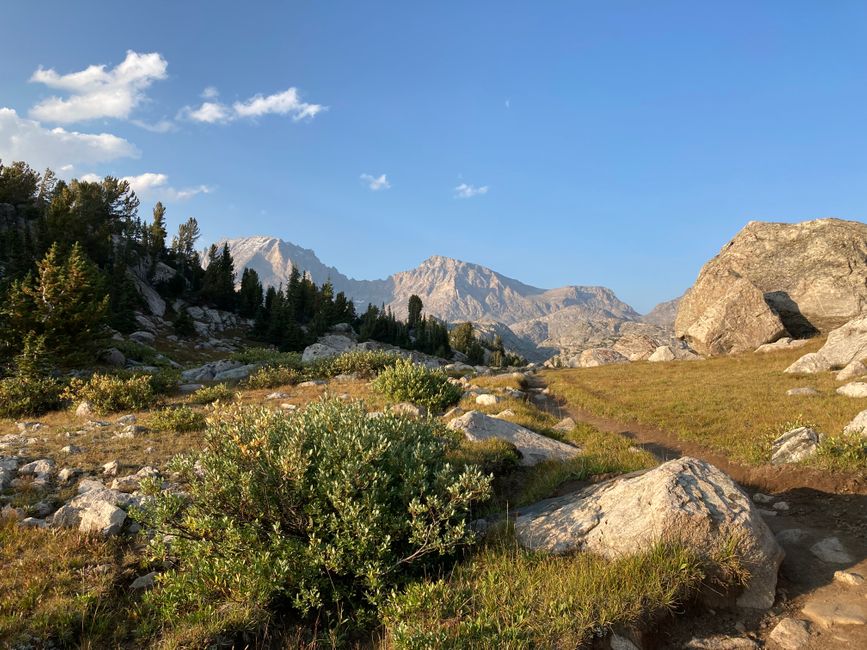
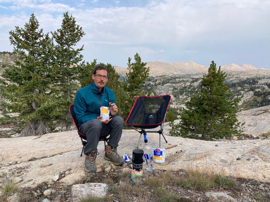
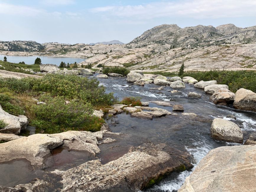
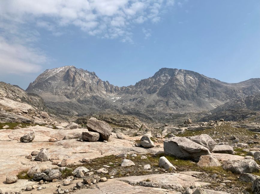
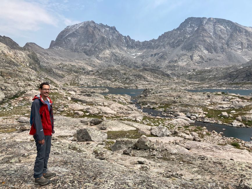
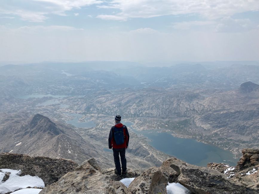
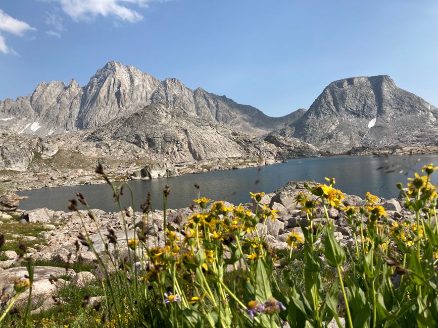
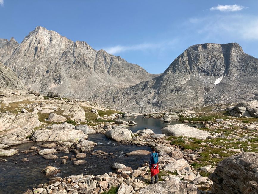
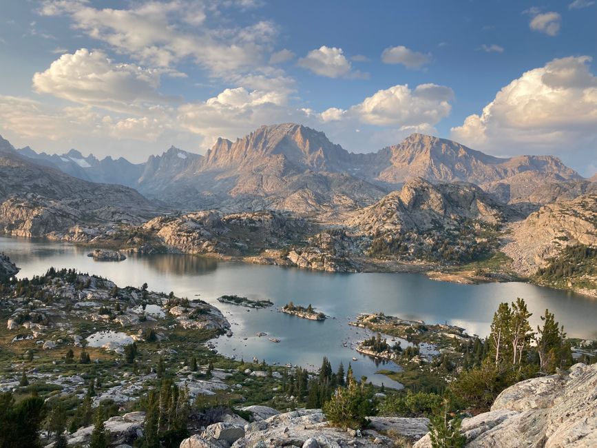
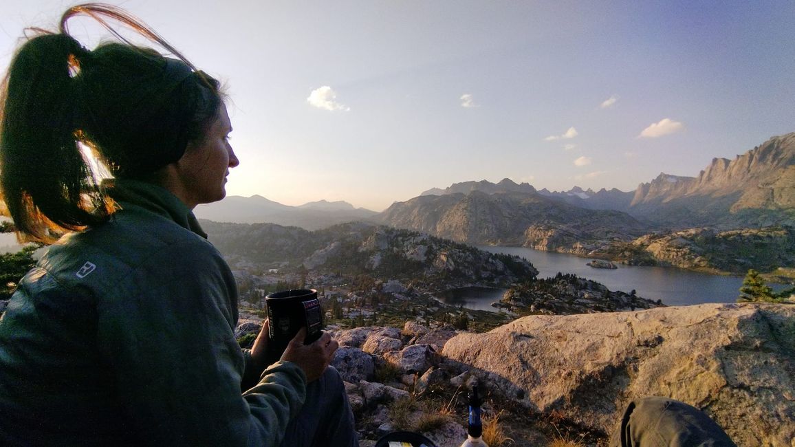
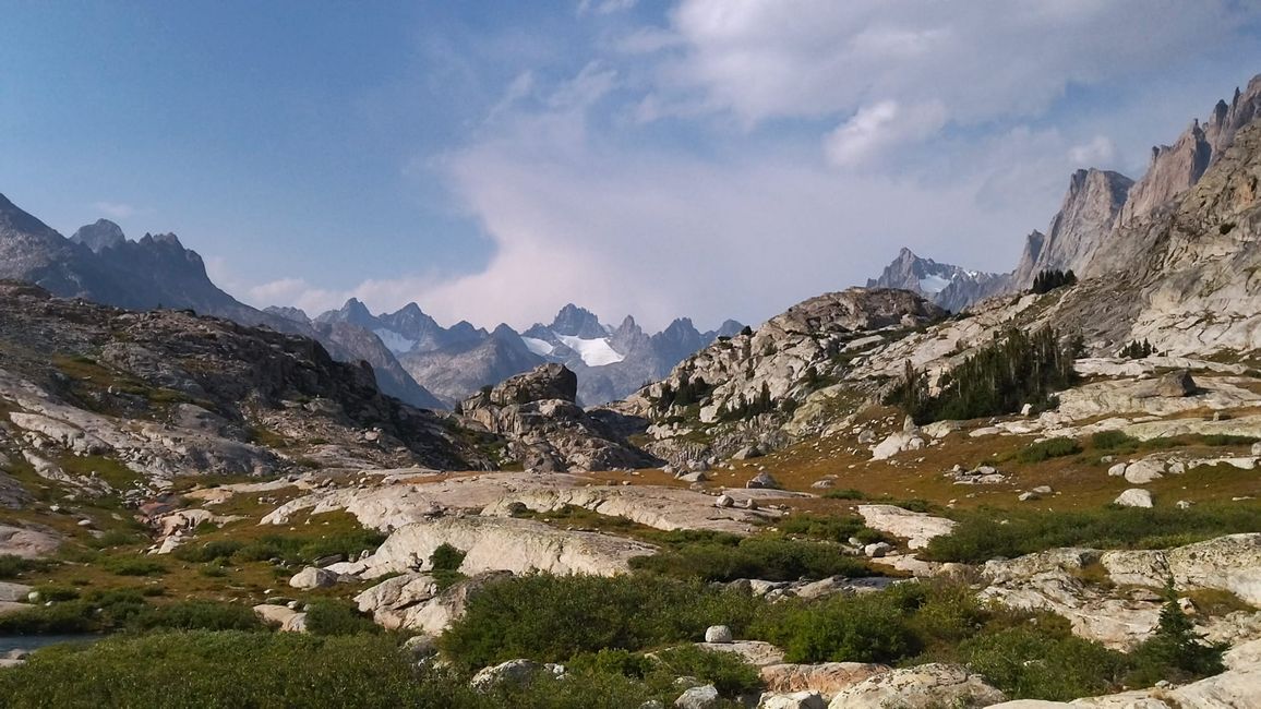
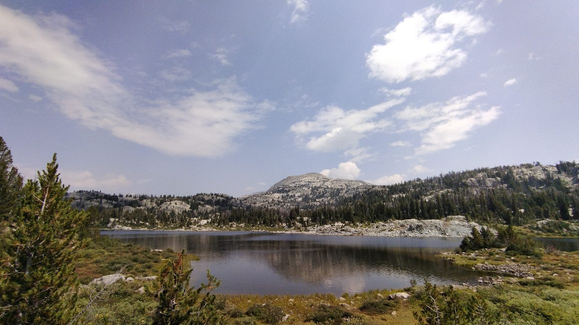
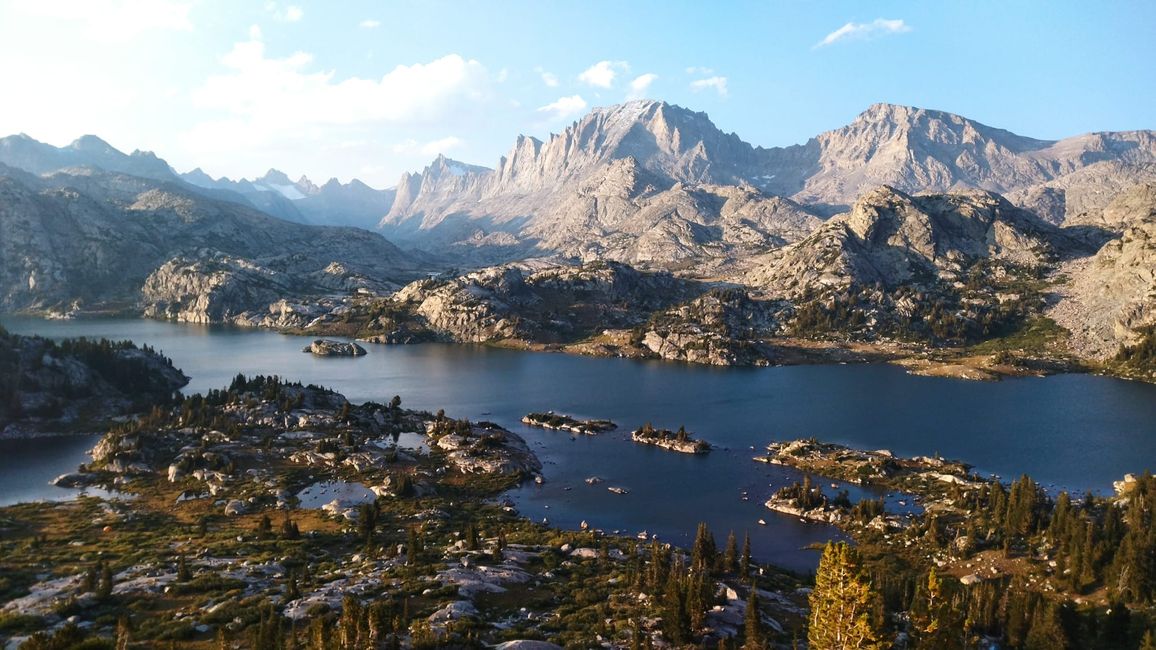
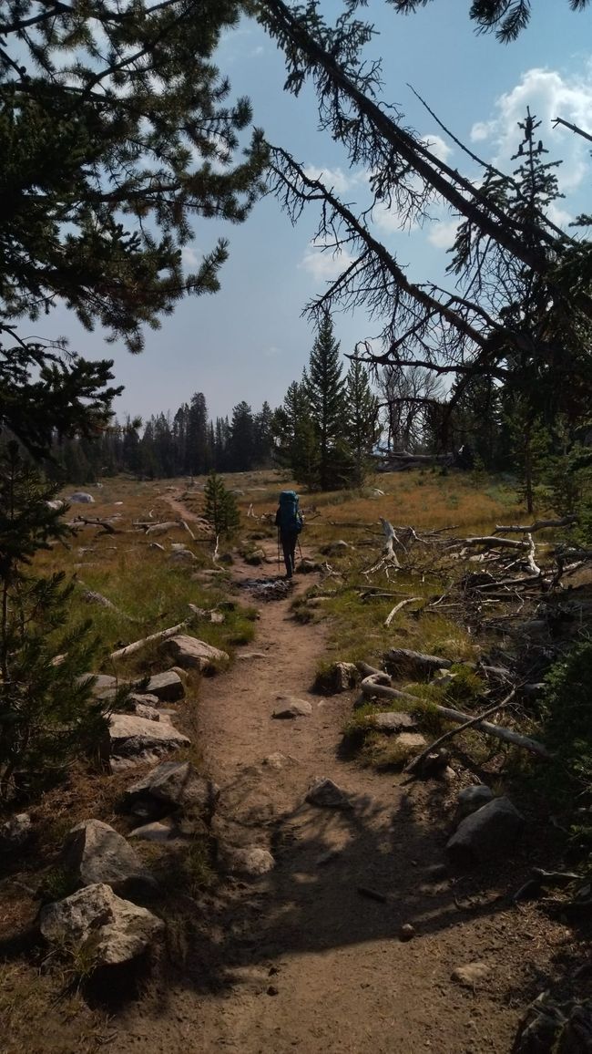
Afterwards, we have to cover the approximately 20km to Island Lake. The first three hours lead exclusively through the forest. As soon as you reach Photographers Point, you get a first impression of the landscape, both the view and the distance that lies ahead. From here on, you approach the 4000-meter mountains on the horizon, which form the continental divide, in a constant up and down. Numerous mountain lakes fill the valleys that you wander through, from small ponds to the size of Lake Oeschinensee. After 7.5 hours, we decide to set up our camp high above the lake. About 400 meters away is a small lake to fetch water, offering the most wonderful view the area can offer. During dinner, we keep looking over to Fremont Peak, which towers over us with its impressive 4177 meters. John had told us that you can simply climb up there, which seems somewhat underestimated when you take a closer look. As a birthday present, I receive a map of the Wind River Range as a souvenir.
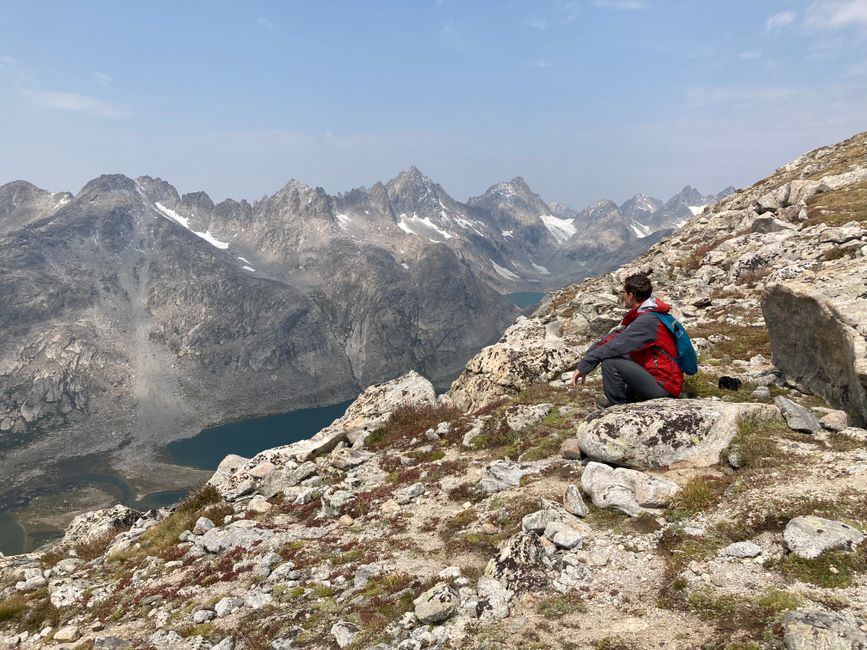
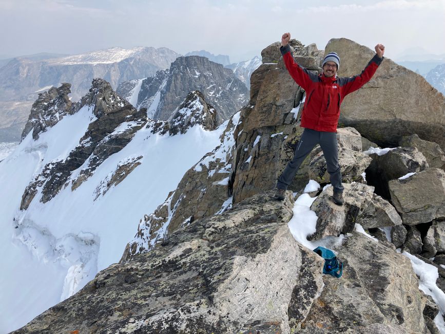
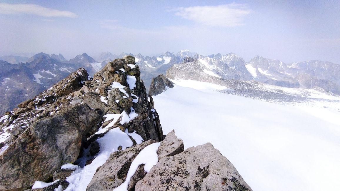
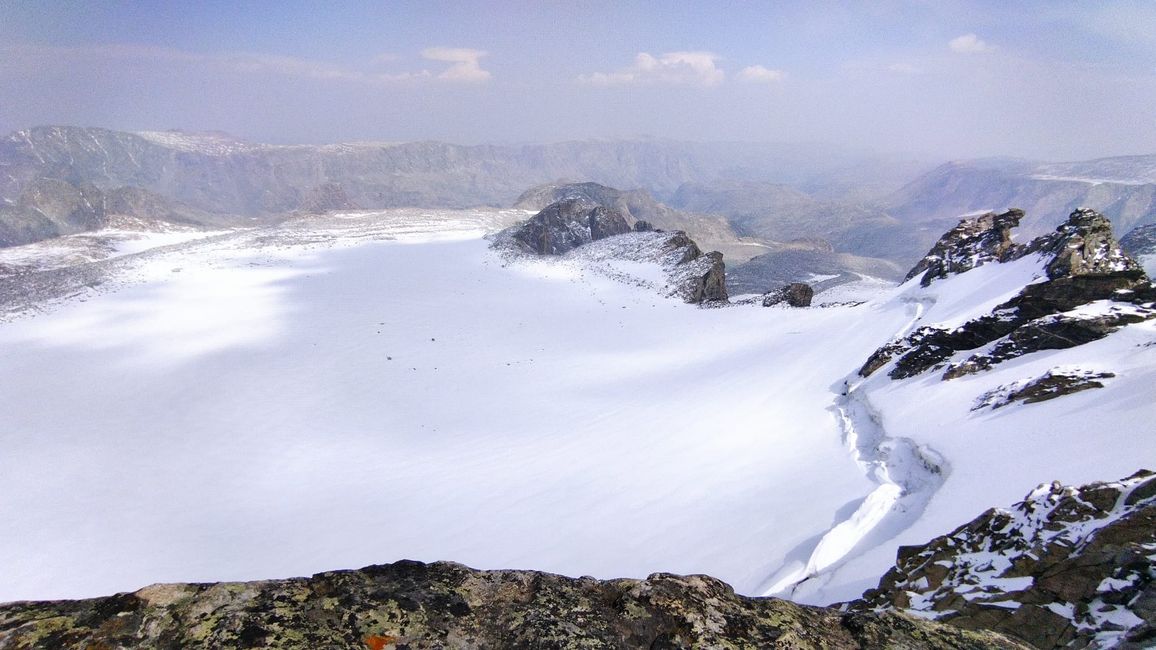
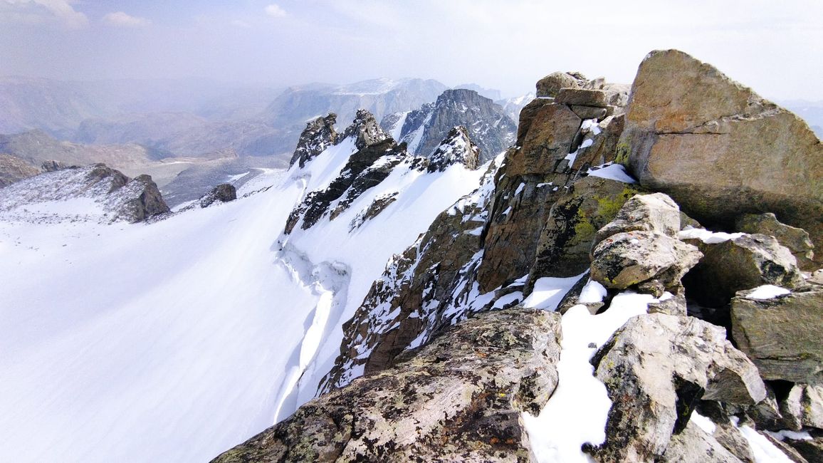
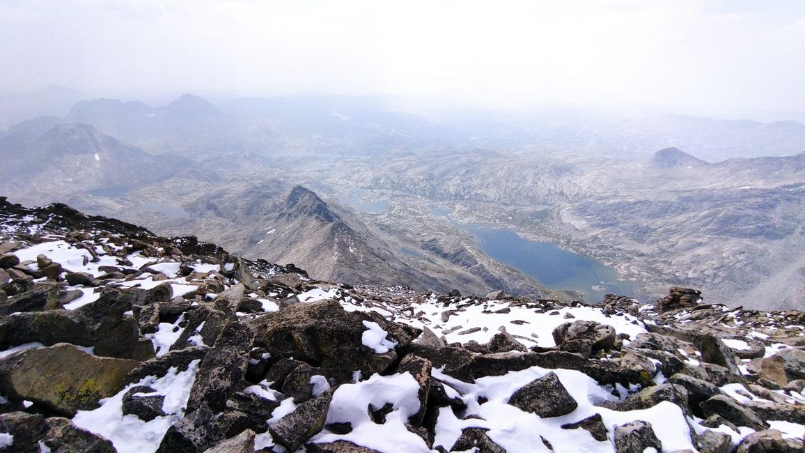
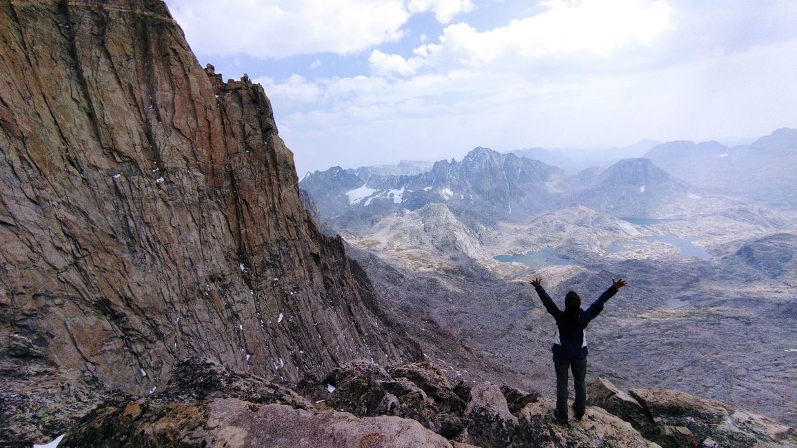
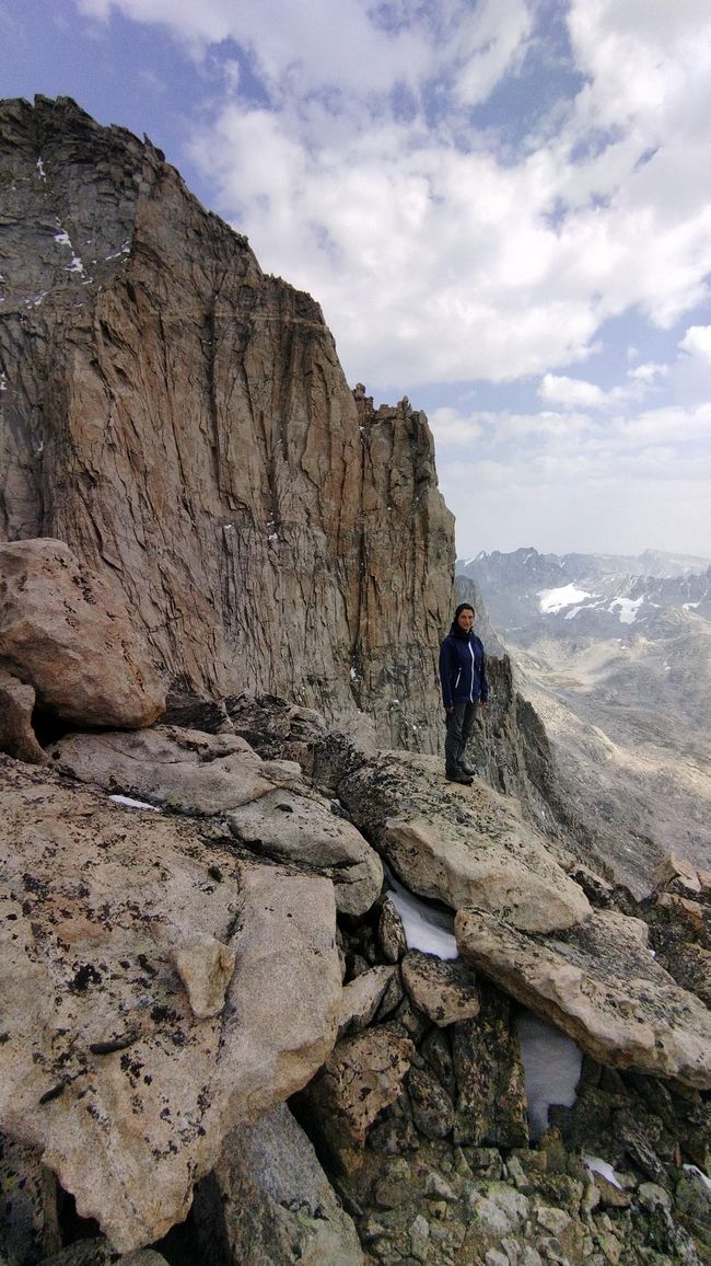
Unfortunately, the night was not so pleasant, as my sleeping pad has a hole and the ground at 3100 meters above sea level is already very cold. Nevertheless, after breakfast, we set out to get closer to Fremont Peak. We decide to at least attempt to climb this mountain. Up to the ridge at 3700 meters, it is at least a "mere" rocky terrain and scree slopes. During lunch, we think it is doable, unless there is a steep step to overcome somewhere. So we attack the "east wall" and are only briefly delayed by the snow that fell three days ago. (Yes, it snowed in August). We are ecstatic about reaching the summit! Without a map and without equipment, we have conquered the mountain! The view of the west-facing glaciers and the desert beyond is breathtaking. Standing on top is only half the battle and descending is always a bit more difficult. But we manage that too, apart from Amelia's bleeding thumb. The 2-hour return trip to the camp seems endless, but the cat bath in the mountain lake is super refreshing. Once again, we enjoy the most beautiful view since the start of our journey and fall asleep contentedly.
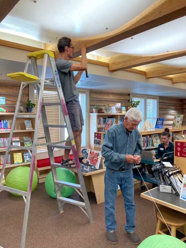
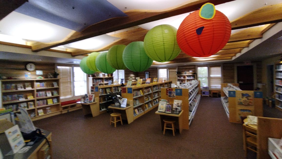
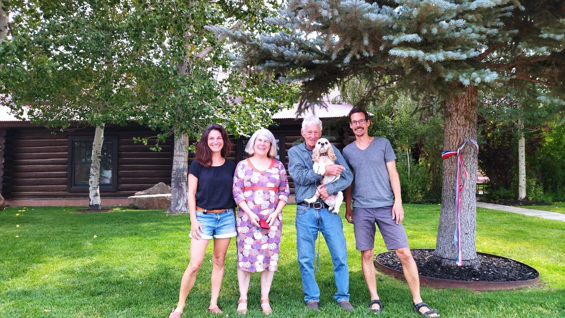
We hike back to the Elkhart Trailhead, which takes 6 hours. I am looking forward to dinner at the Wind River Brewing Company, which offers not only good beer but also delicious food. Before that, I try to repair my sleeping pad. I fill it with water and see where it leaks. Somewhat unconventional, but it works. The restaurant is popular and unfortunately, we have to fill the 45-minute wait time with beer consumption. ;) Due to the dog "Pooch" sniffing at my leg, we enter into a conversation with an older couple who lives in Pinedale and decide to dine together. It turns out to be a wonderful evening with good conversation, too much food, and satisfied faces. In the end, we are allowed to stay overnight in the Hohl's driveway (the paternal side of the family is from Appenzell), shower, do laundry, pet the cat, and enjoy a latte macchiato. Dave built the house himself and is currently expanding the cabin in the mountains. At the age of about 75, the man still has a lot of energy. We help Sukey at her workplace to set up the Very Hungry Caterpillar in the form of lanterns. She works at the library and proudly shows it to us. It is truly a gem, where you can hang out all day in peace. Afterwards, Dave takes us on a tour of the village, showing us all the important things in Pinedale.
The plan is to visit the Green River Valley, which forms the northern boundary of the range. The drive takes a while and due to the cold forecast for the night, we decide to just take a walk. The 20 km round trip is not too strenuous and we photograph Squaretop Mountain, an icon of Wyoming, in the beautiful evening light. Only the many fires in California and Oregon slightly darken the sky.
The night is exceptionally cold and we are glad not to be stuck in the tent.
Ohauru ki te Panui
Whakautu
Ripoata haerenga USA
