Oregon Trail & Pony Trail - from Colorado through Nebraska to South Dakota
Tihchhuah a ni: 30.08.2019

Newsletter hi subscribe ve rawh
01.06. / Wednesday / Denver-Scottsbluff-Hot Springs
It is completely overcast as we depart from the hotel at 68°F (20°C) at 10:00 am. The mountains are barely visible and are covered by a yellow smog bell, which is not really the case here.
First we drive to the airport, trying to change our seat reservation for the return flight. The Lufthansa lady, who appears slightly confused, says that it is not possible. Hmm.
So, we take the highway north. Today (only), we actually want to drive to Scottsbluff in Nebraska and stay there overnight. On the way, we want to visit Cheyenne in Wyoming, which is said to be a particularly beautiful town.
First, we drive through a monotonous landscape. Cheyenne, the place that advertises itself in brochures as a historic city with a historic center, is a dead hole. We drive around, thinking that we have not seen the historic area yet, but we only find a few vacant houses of older construction and drive out of Cheyenne without stopping, continuing east-northeast towards Nebraska.
The landscape is vast and flat, the so-called High Plains. It is actually just desolate and very very flat. Occasionally, you can see a few cows, who share an estimated 100 hectares of grazing land among three of them.
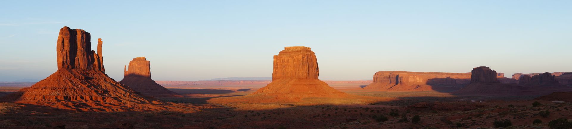
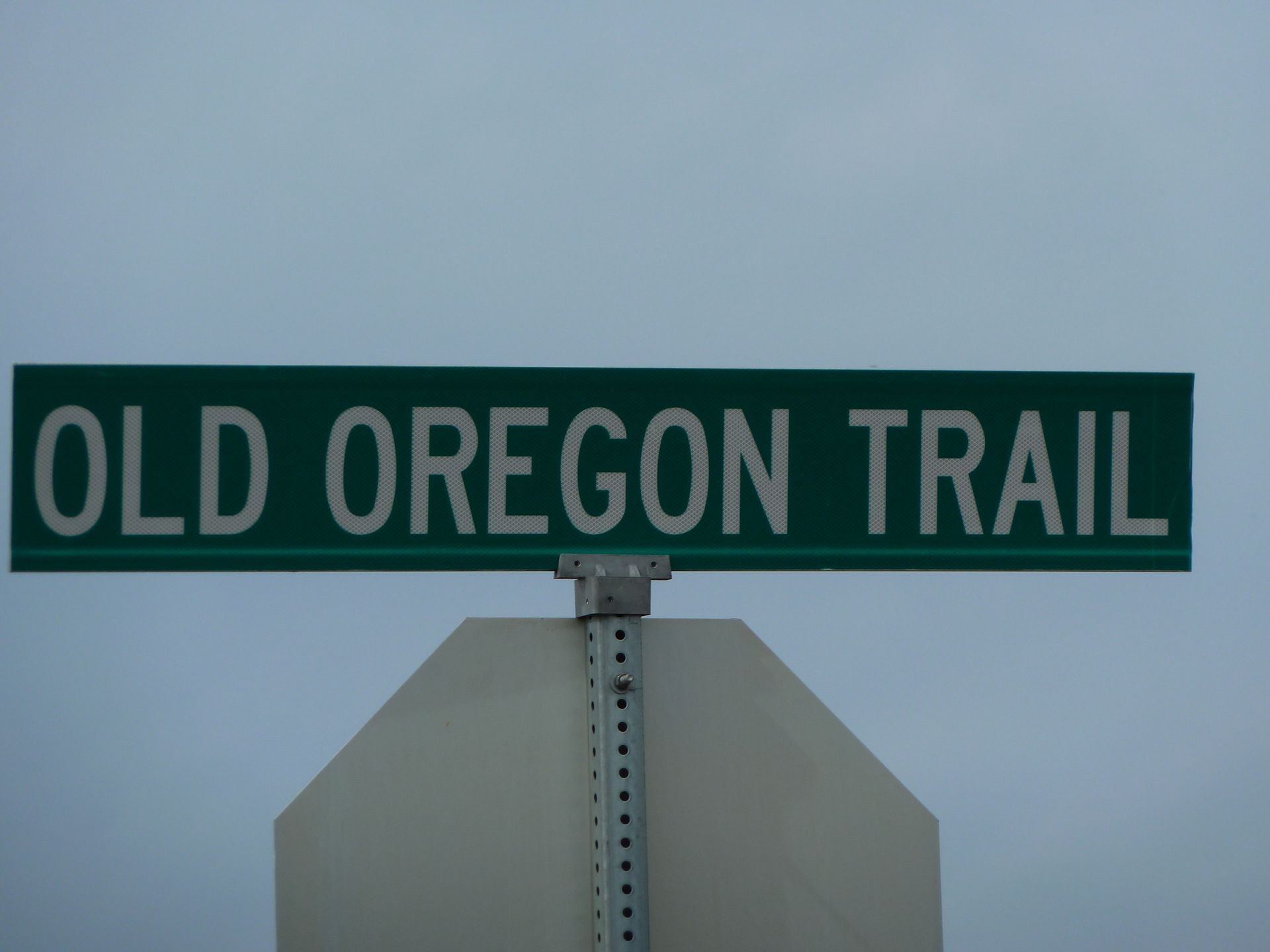
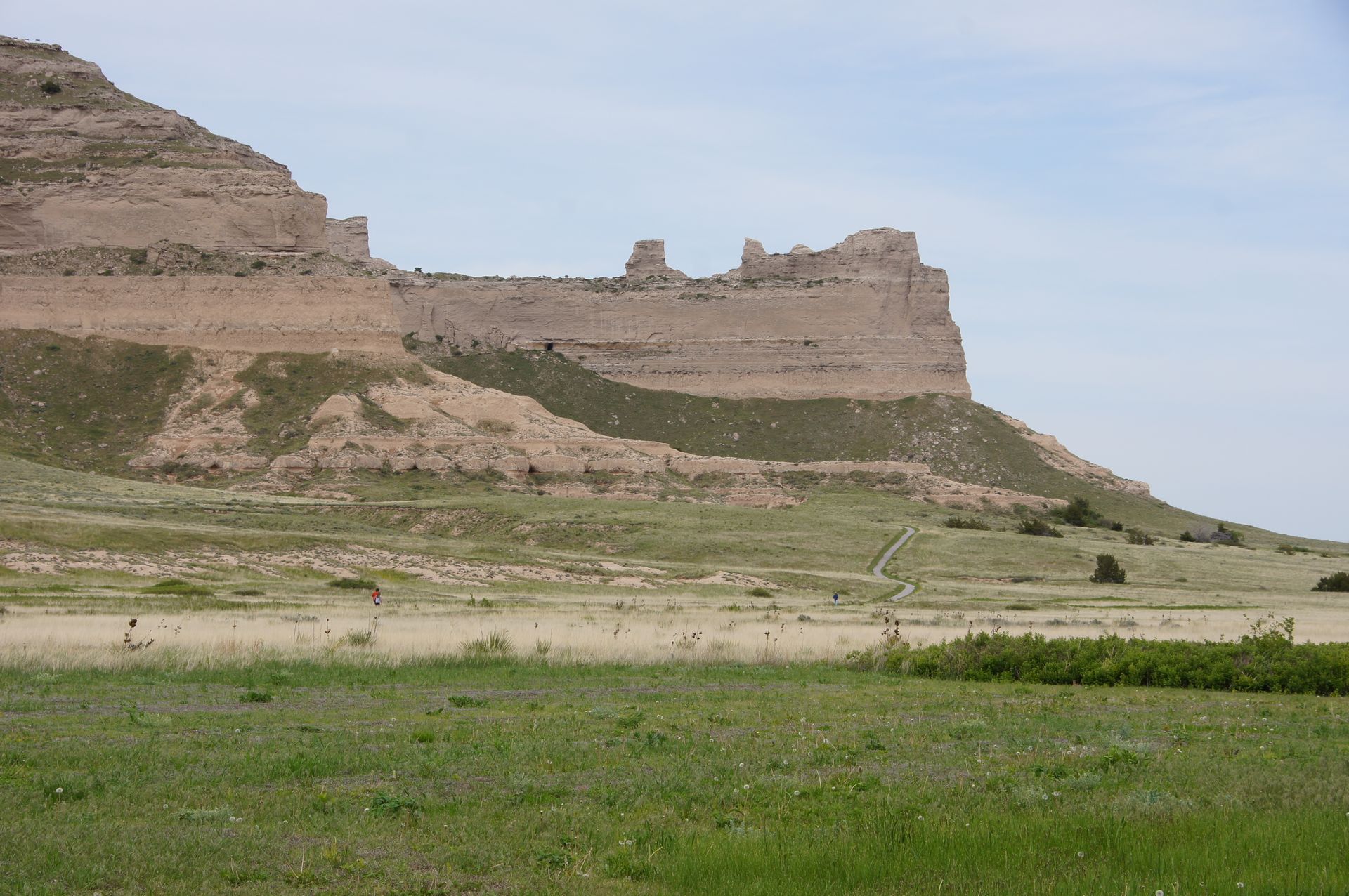
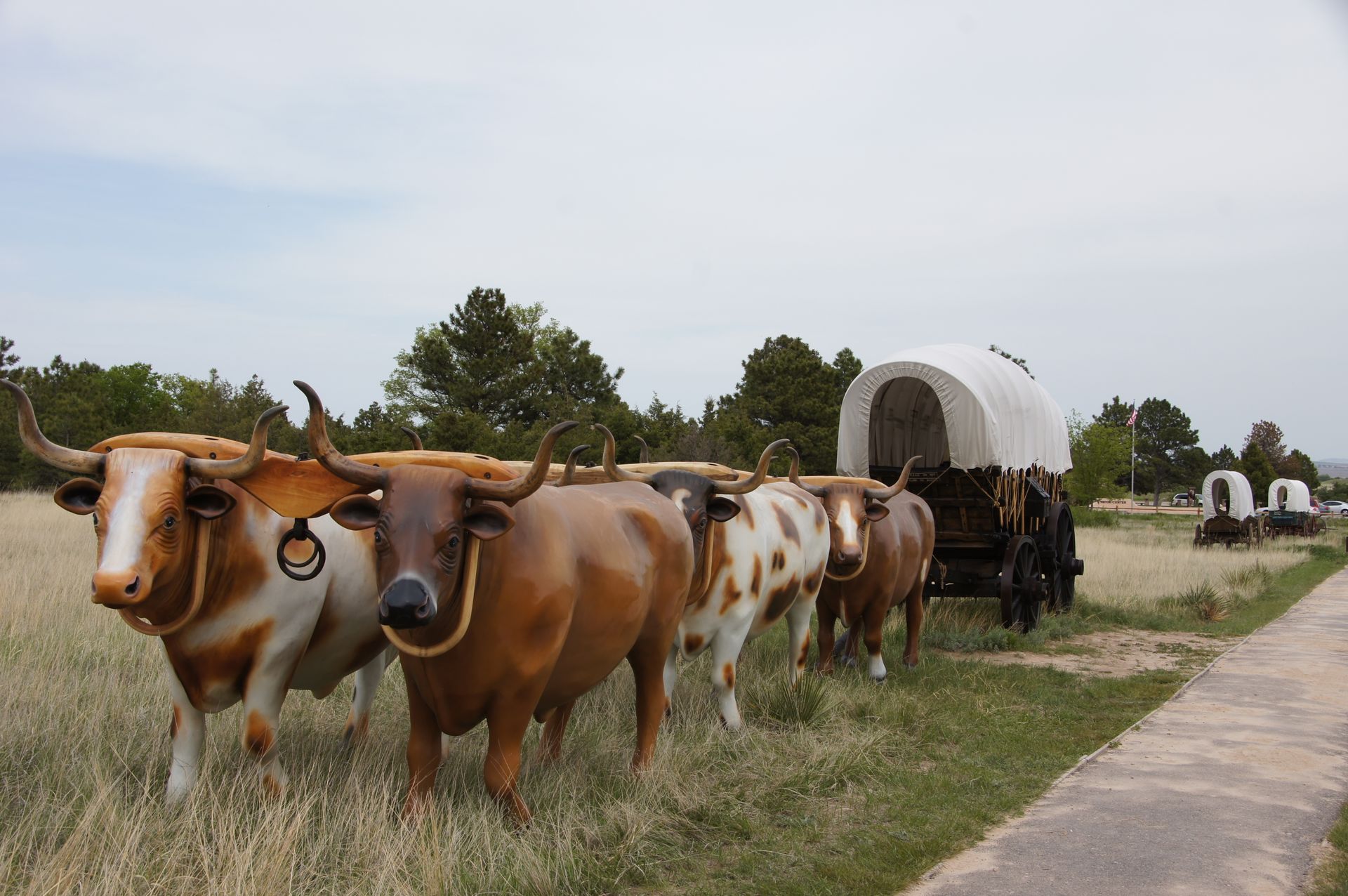
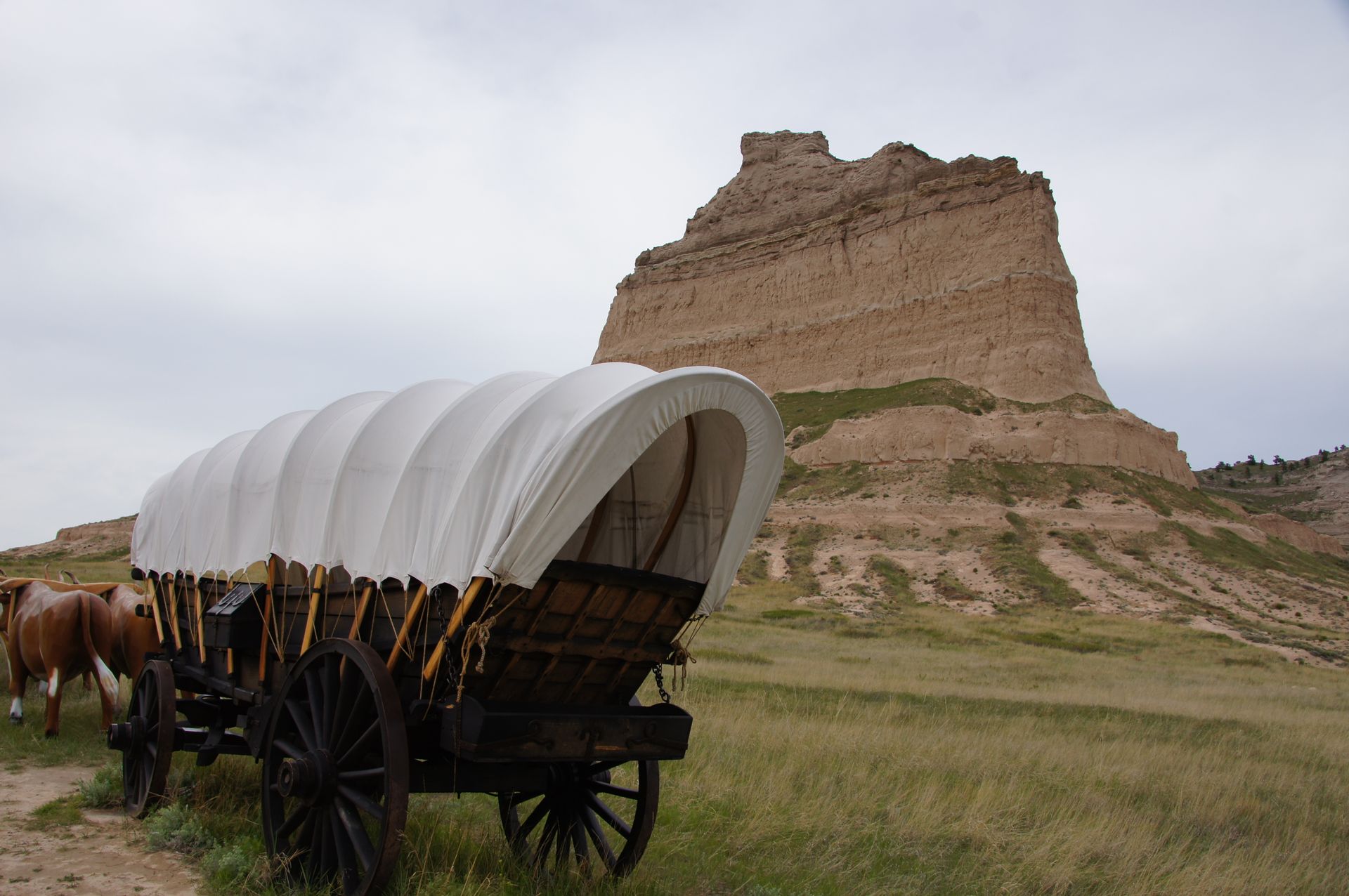
The road is straight and often visible to the horizon. We reach Scottsbluff around 4:00 pm and briefly look around here at the visitor center at some documents about the Oregon Trail. A landmark of this trail were the mountain peaks, in front of which we are standing here.
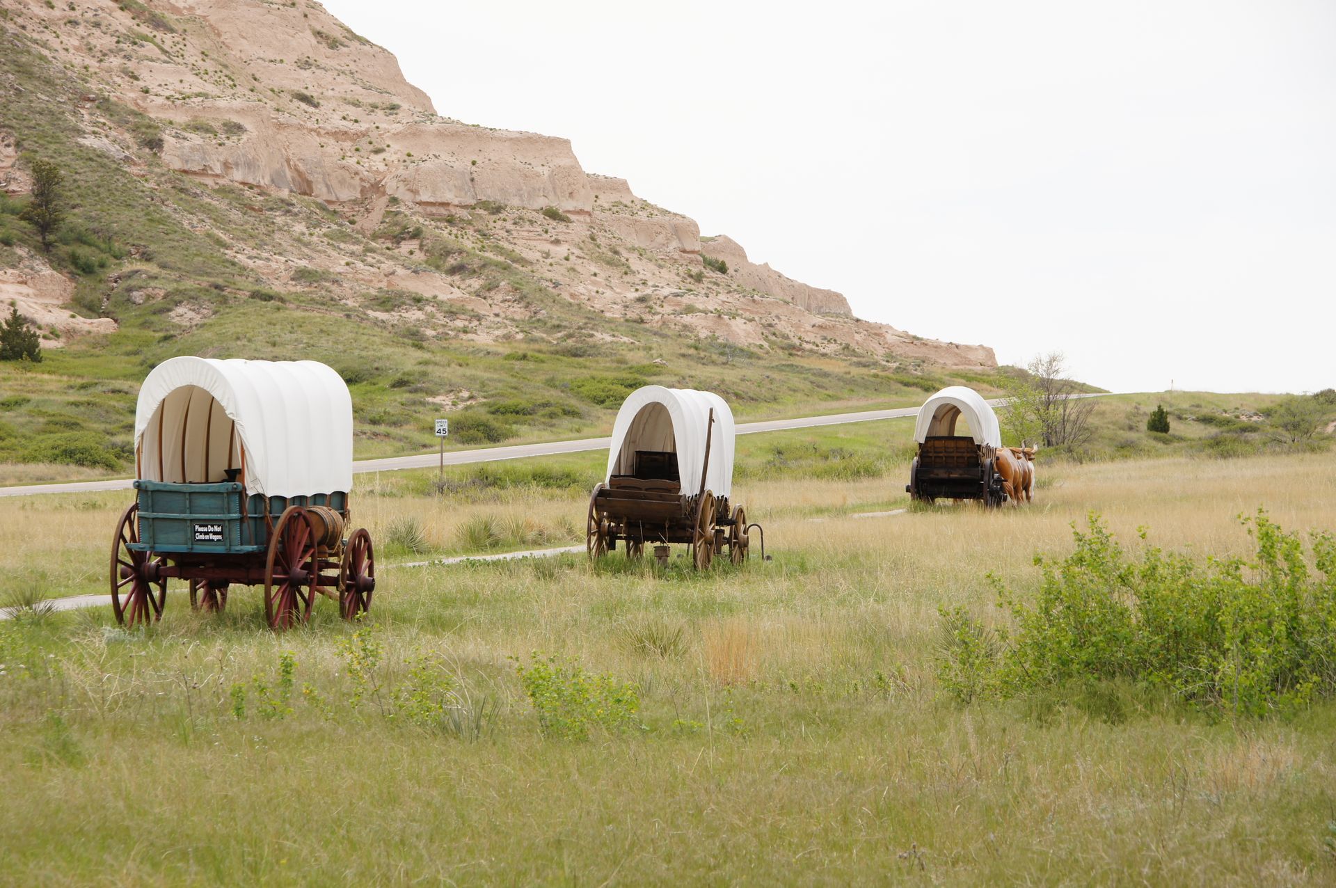
The first settlers who wanted to make the western United States their new home came over the Oregon Trail in the mid-19th century. They had to cross the Rocky Mountains and travel westward along this route from the east or even from the center of America, spanning about 3,500 km. With covered wagons - through steppes, deserts, and mountains. Incredible hardship, considering that we are driving along here today in an air-conditioned car.
I was unfamiliar with the fact that in the early 19th century, Canada and America actually wanted to settle together in the area west of the Rockies. However, about 35-40 years later, there was a compromise to divide the entire area along the 49th parallel. So, the south was now American, and the north was Canadian.
During this time, the Mormons also started on the Oregon Trail, but then turned south and ended up at the Salt Lake near Salt Lake City, where their center is still located today.
20 years after the California Gold Rush, the Oregon Trail was history. There was a railway connection from east to west starting in 1869, making the settlement of the West much easier.
At the visitor center we are heading to, you can still see the wagon wheel tracks of the many covered wagons over long distances in the otherwise grassy ground. Unbelievable. After more than 150 years!
The Pony Express, which we will encounter several times on this trip, also went through Scottsbluff.
This mail delivery service did not last long but became famous because there were incredible speed records. The route, about 3,200 km long, led from Missouri (St. Joseph) to California (Sacramento) and was actually the fastest mail delivery from east to west for only one year.
The system was like a relay race. Therefore, a trading post was set up every 20 km to exchange horses or ponies, among other things. In total, there were 153 trading posts on the route, with around 500 four-legged animals and 80 couriers. Just as in a relay race in sports, the handover of the mail to the next rider had to be done at breathtaking speed: Only 2 minutes were allowed for this (if only today companies like DHL could do it that well...!).
The riders - who covered distances of an average of 80 km, but a maximum of 300 km, and carried about 10 kg of mail - were not allowed to weigh more than about 60 kg and be younger (!) than 18 years old. This led to the fact that it was often poor teenagers, often orphans, who took on this job (the youngest rider was only 14 years old). Buffalo Bill was one of them! The fastest ride over this 3,200 km distance had special significance: It was the inaugural speech of Abraham Lincoln, which was transported across the country in 7 days and 17 hours.
Since the routes often ran through hostile Indian territory, and the riders were not allowed to carry weapons, the job was not exactly safe and led - along with the telegraph line, which became active in the early 1860s - to the discontinuation of the entire system due to financial problems. Fortunately, there was only one rider murdered by Sioux (out of about 120 who held this job within that one year). Overall, only one shipment was lost out of the 650,000 miles covered by the entire relay!
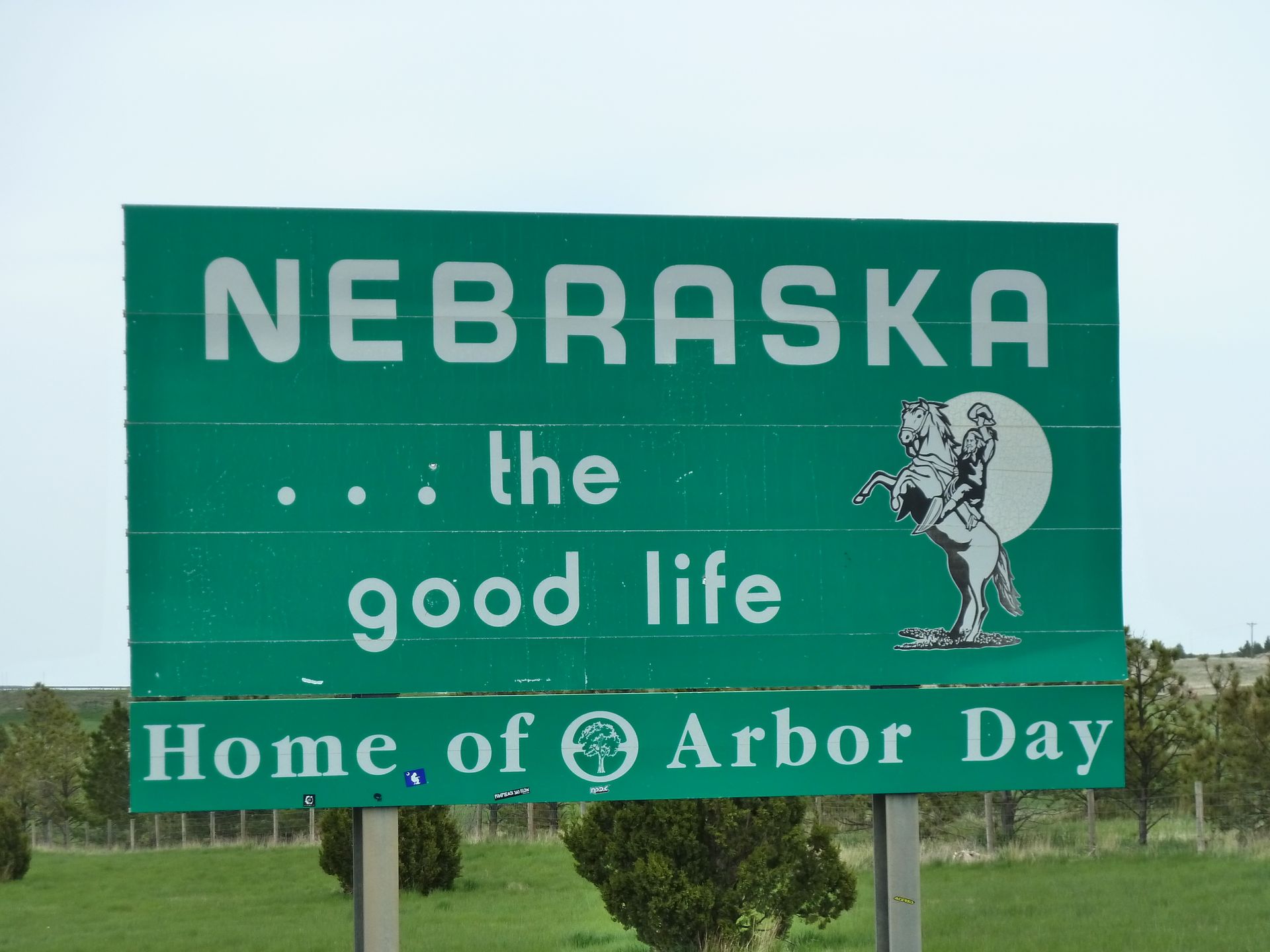
The area here is strung with rugged rock formations, and due to the sandy soils, there are only pastures here and no agriculture for miles around. We decide to leave this boring area in Nebraska behind us and continue driving at 4:30 pm.
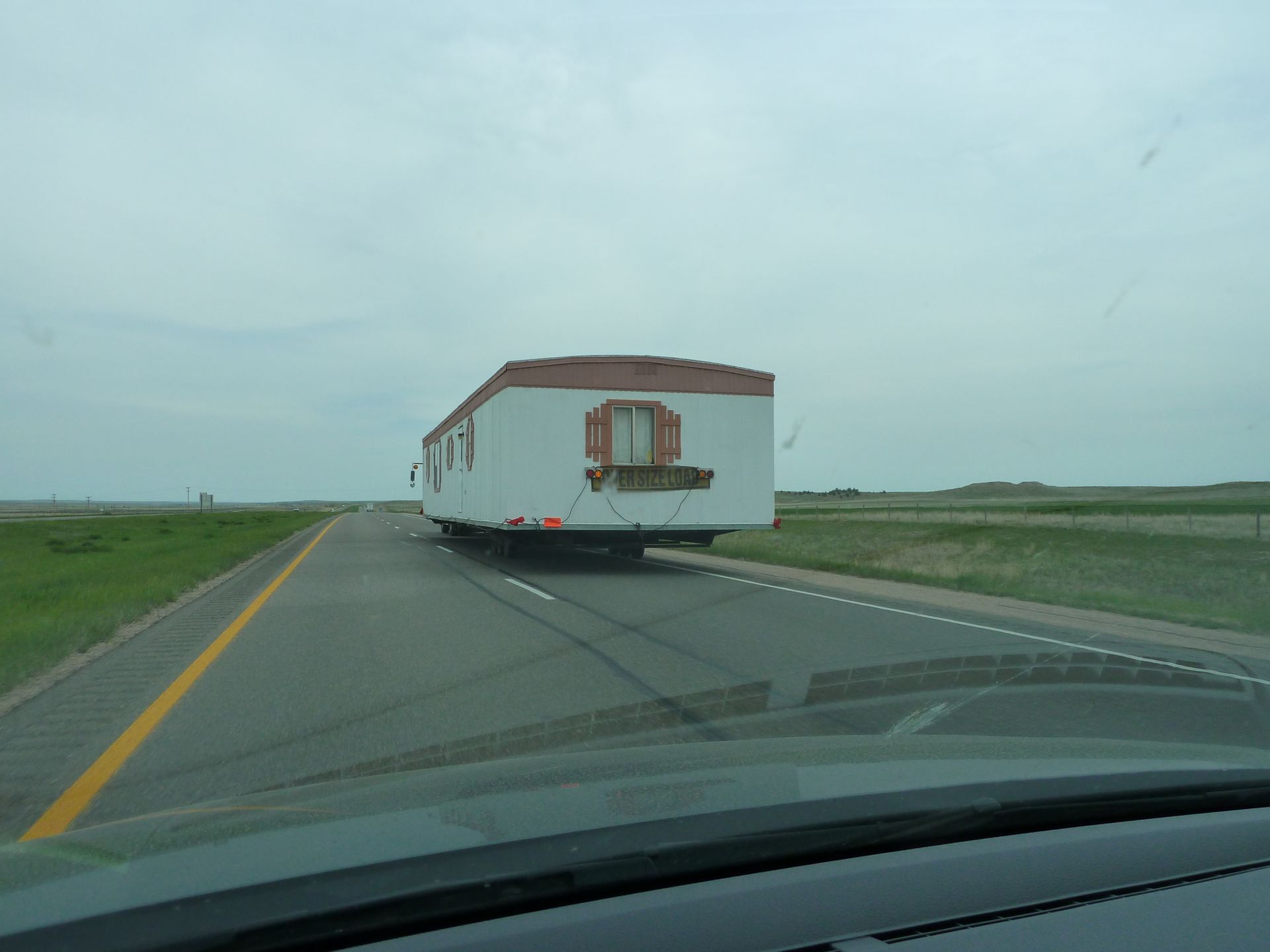
We have decided to drive another 161 miles to Hot Springs in order to reach Custer State Park faster tomorrow. This means that today we are unexpectedly driving long distances by car and only reaching our destination after 450 miles (720 kilometers). Driving a car is still a relatively relaxed activity in the USA, as we sometimes drive stretches of 30 miles without seeing another car. You practically roll through the area and just have to hold the wheel.
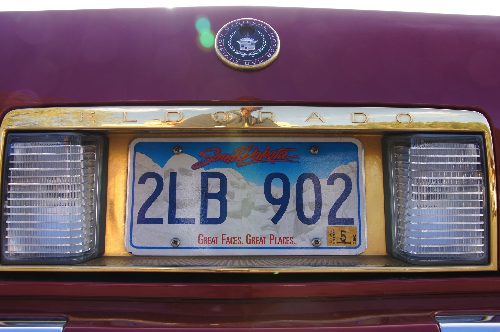
Hot Springs is located in South Dakota. We easily find a hotel for $68 and walk to the neighboring (mediocre) steakhouse and are in the hotel at 9:00 pm.
Newsletter hi subscribe ve rawh
Chhanna
Khualzin report USA