Huaraz - Hiking in Huascarán National Park
Naipablaak: 27.11.2018


Agsubscribe iti Newsletter
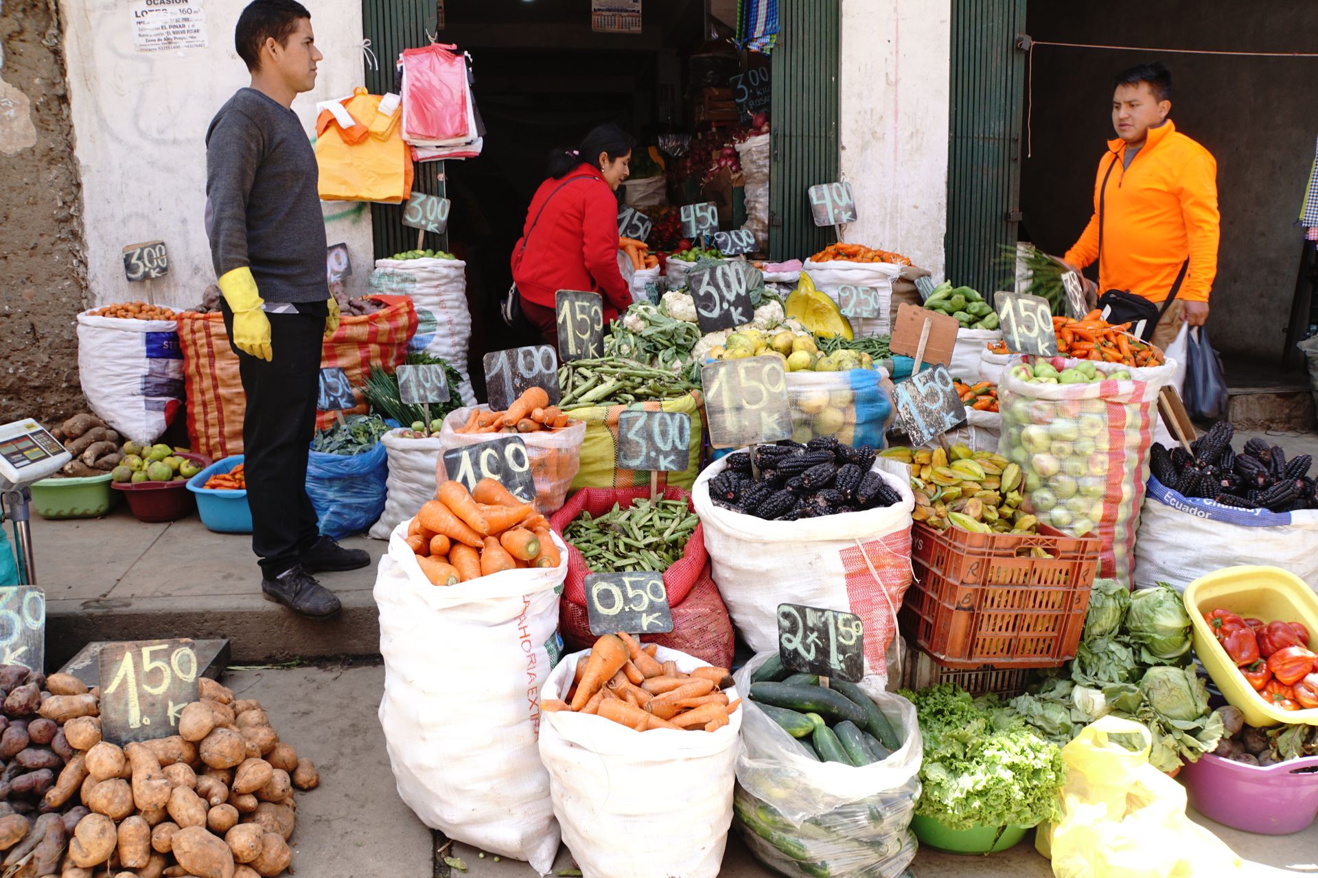
After the Salkantay Trek, Juli returned to Germany. For this, he had to first go back to Lima, where we could still accompany him. The farewell was sealed with a lavish dinner at the well-known Isolina, where we (accidentally) ordered tripe. Apart from the unusual texture, it tasted exquisite. That same evening, we continued to Huaraz by night bus, a small city in the Ancash region, about 450km north of Lima.

The city is the starting point for various hiking tours in the high mountain region of Cordillera Blanca, where Peru's highest mountain, Huascáran at 6,768m, is located.
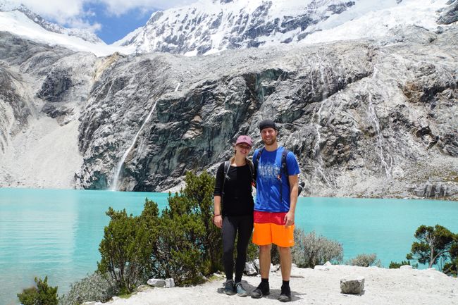
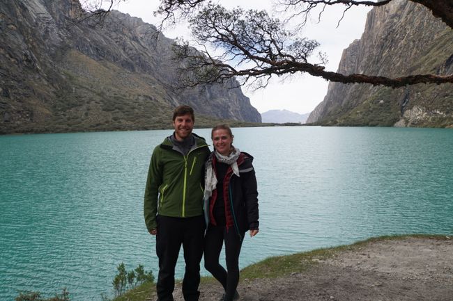
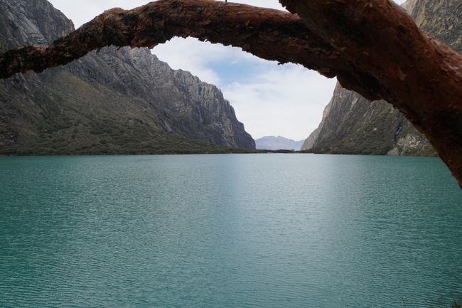
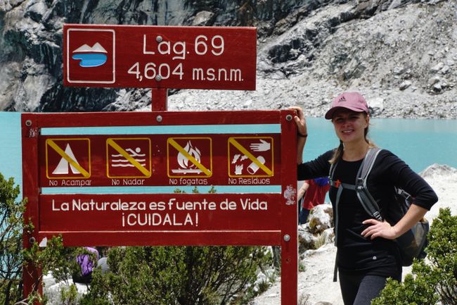
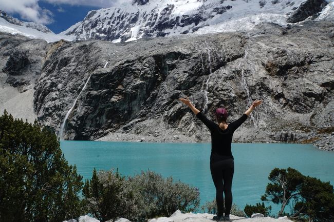
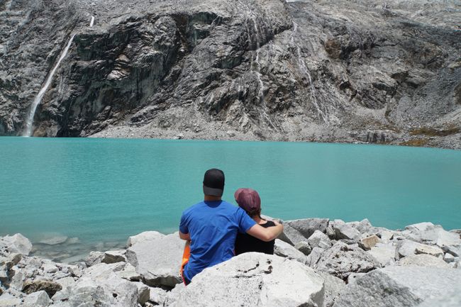
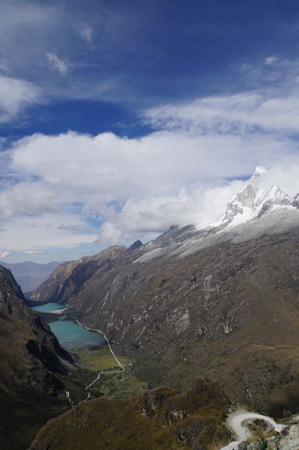
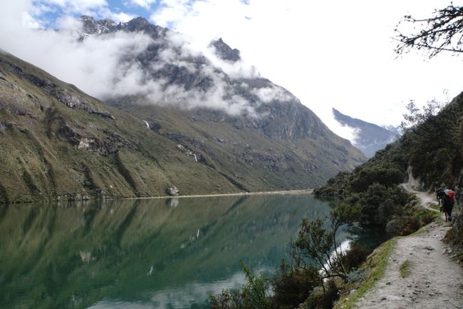
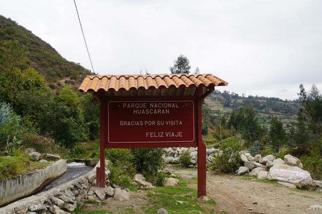
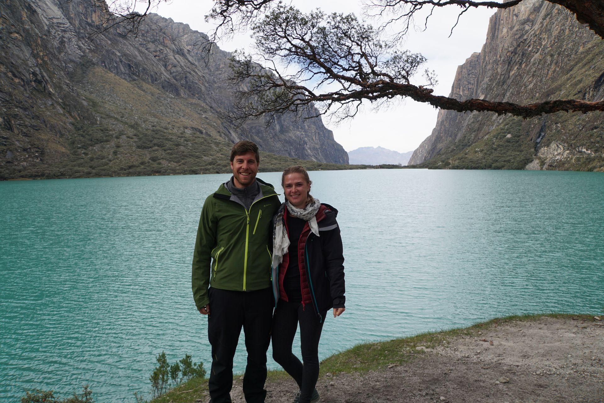
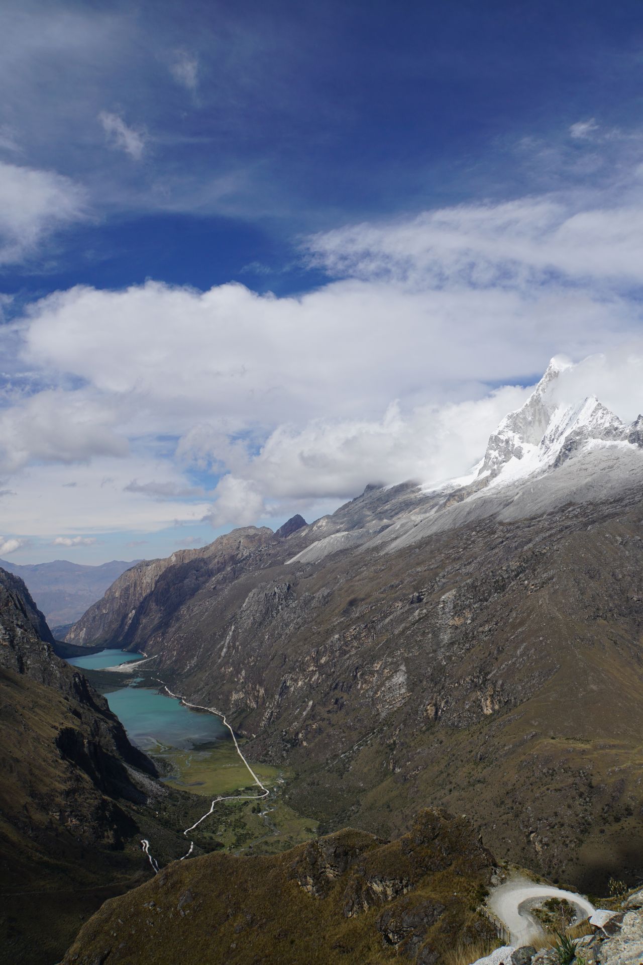
To acclimatize to the altitude, we first take a day trip to Laguna 69. This turquoise blue lagoon is located in the middle of Huascáran National Park at 4,600m and is ideal for acclimatization. The trek to Laguna takes about 3 hours and is worth a trip in itself. First, we stop at the dark green shimmering Llanganuco Chinancocha for a small photo shoot.
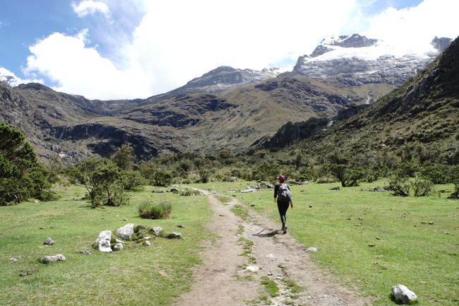
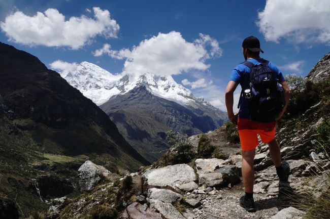
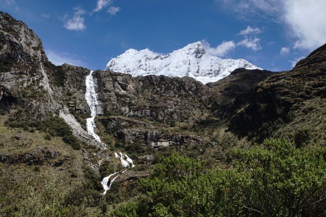
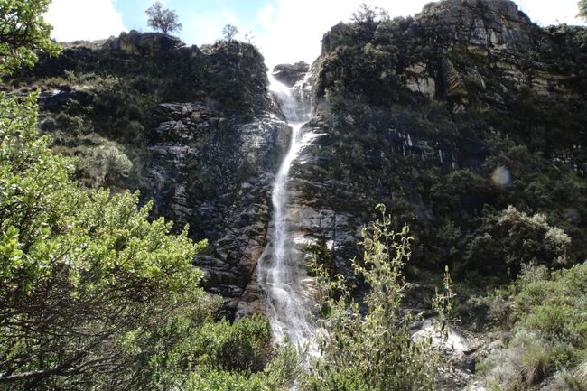
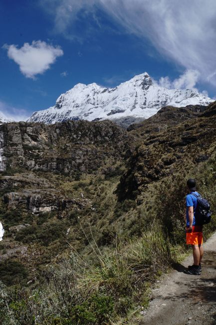
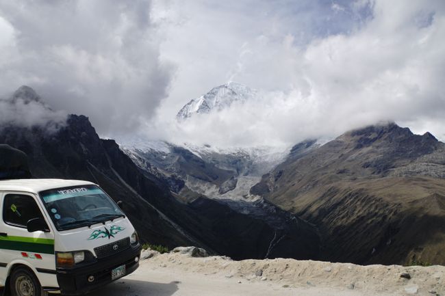
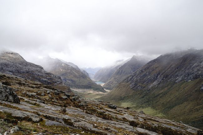
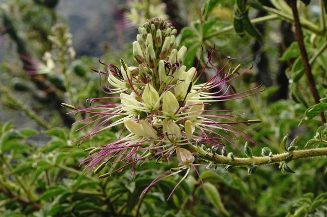
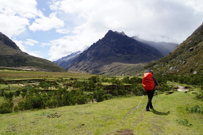
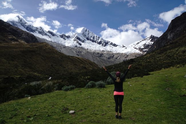
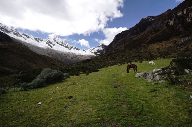
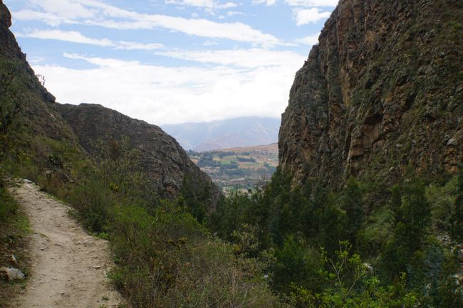
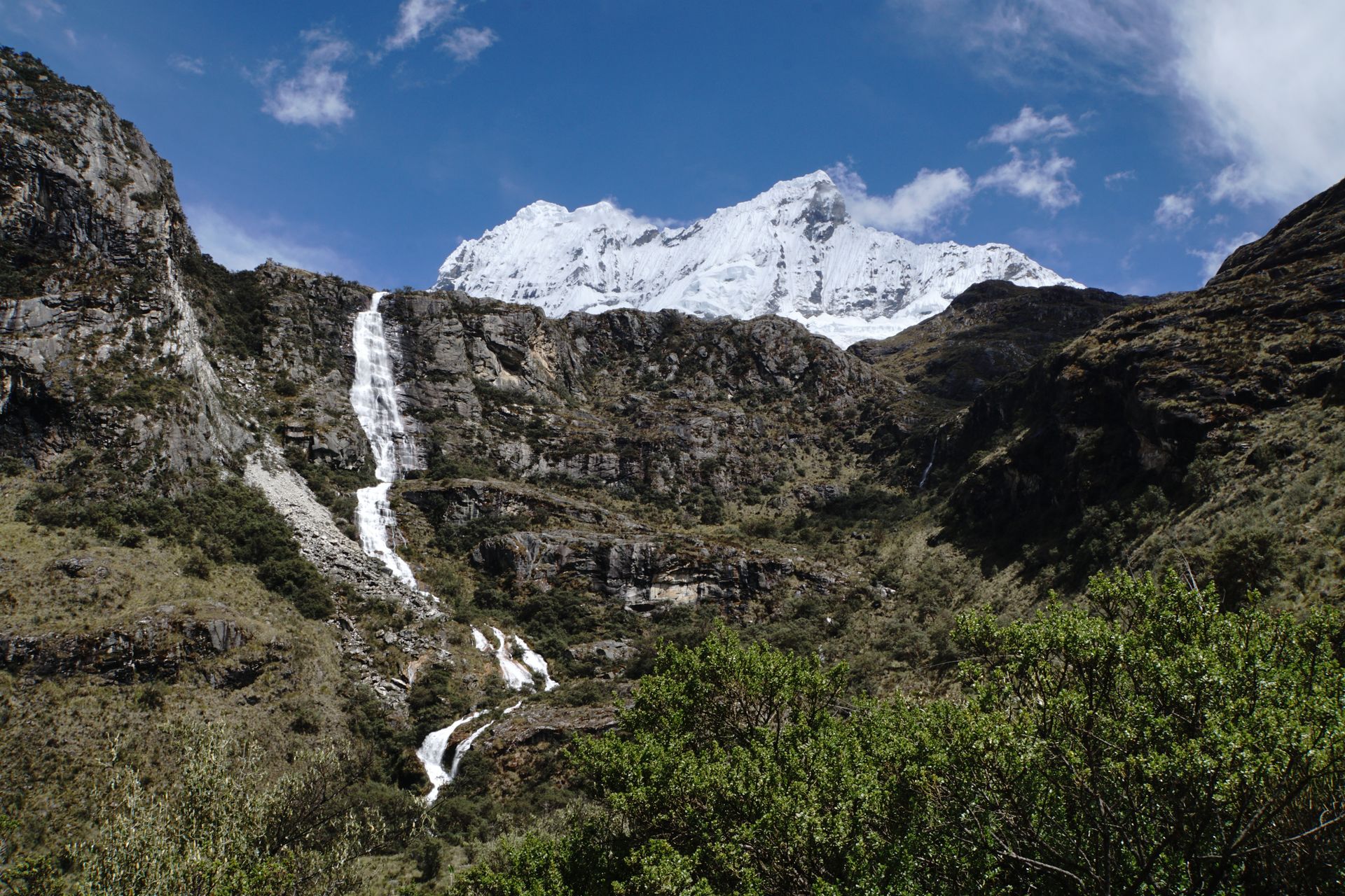
Then our actual hike through Huascaran National Park to Laguna 69 begins. The landscape is breathtaking! All around us, we are surrounded by the snow-covered peaks of the 5,000m and 6,000m peaks of the Cordillera Blanca. Flowers in all shapes and colors line our path, and we come across small waterfalls that cascade down the steep cliffs, with the gentle wind blowing a fine mist of water over the valley.
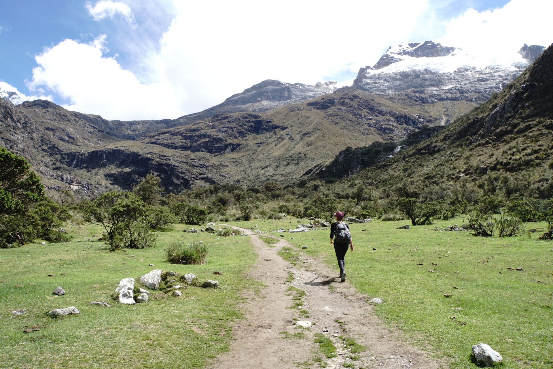

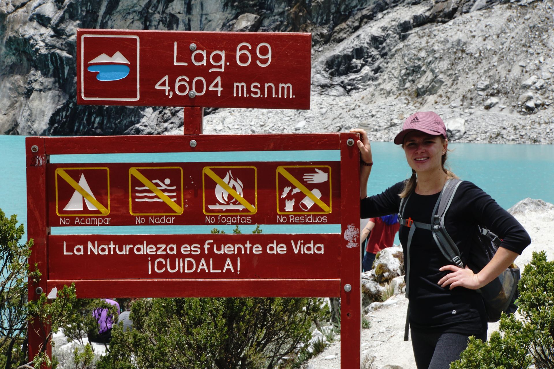
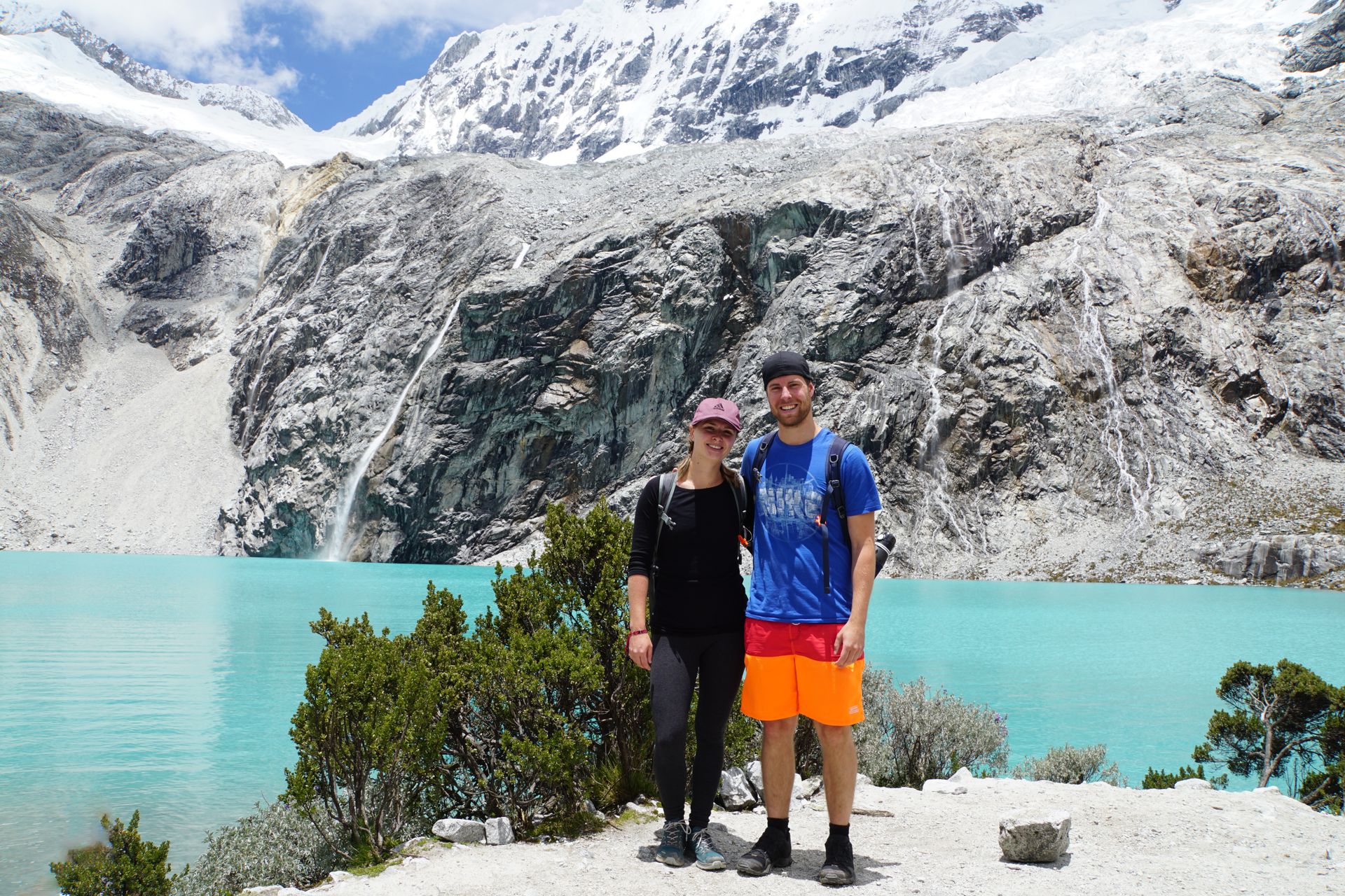
We climb a total of almost 1,000 meters. The last few meters are particularly challenging, as the path winds steeply up the mountain in switchbacks. Once we reach the top, all the effort is forgotten, as we gaze upon one of the most beautiful mountain lakes in Cordillera Blanca, the bright turquoise-blue Laguna 69, located at an altitude of 4,680m above sea level. Several small waterfalls flow from the edges of the surrounding glaciers, the ice crackles and crunches, and above everything, the white peaks of the 6,108m high Nevado Chacraraju loom. It's beautiful! And when the sun peeks out from behind the clouds and the water begins to sparkle, we can only sit and marvel at the lagoon.

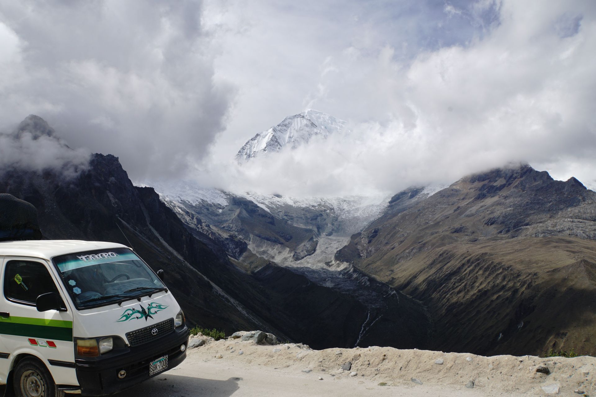
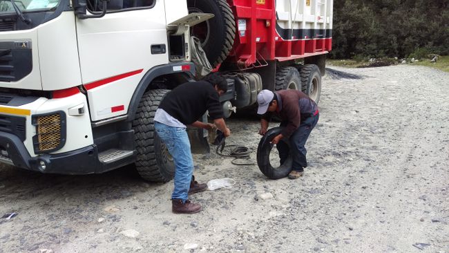
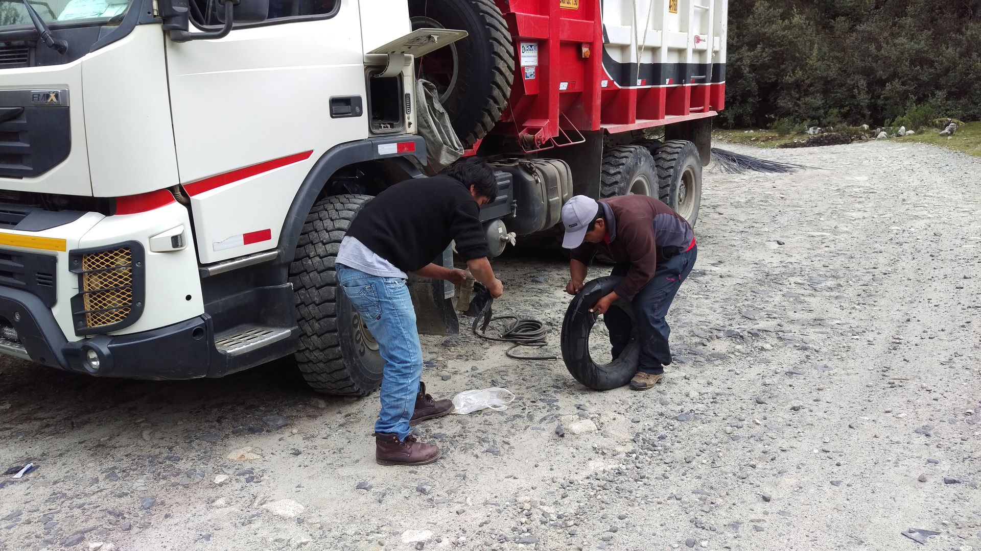
But about 15km before reaching our destination, the second tire bursts... and we don't have a spare anymore. Felipe continues driving very slowly and carefully. Luckily, we pass a truck that has obviously lost parts of its cargo. The driver helps Felipe with compressed air, patches, and glue. What follows is quite a spectacle: For almost 20 minutes, the first burst tire is worked on with a pickaxe until the rim comes off. Then the hole is located, found, and expertly patched, everything is put back together, the tire is mounted, and we can continue. Necessity is the mother of invention!

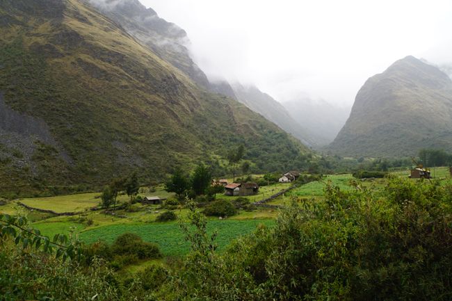
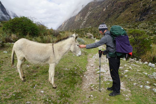
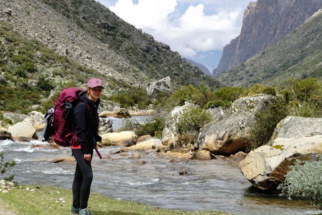
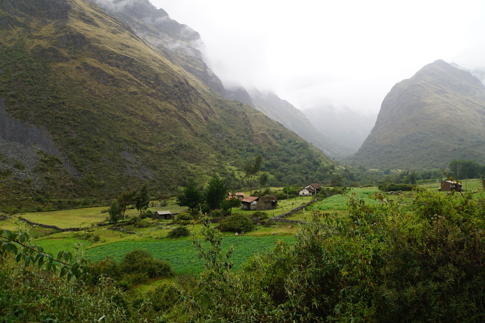
In the afternoon, we finally start our trek. We initially thought we would be on the trek for four days and three nights. However, the trail turns out to be much easier and shorter than expected. Unfortunately, it starts raining after about 30 minutes, and it won't stop anytime soon. Our new rain ponchos are put to the test right on the first day. The first stage of the Santa Cruz Trek is characterized by green meadows. The path passes many small houses of self-sufficient people. Behind the houses, there is a small field, in front of the houses, there is a pig or cow, sheep, and many chickens. Pure idyll, even in bad weather.
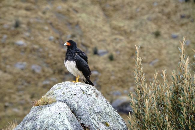
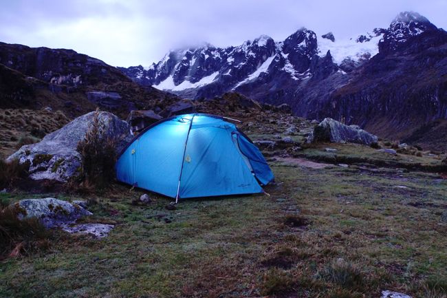
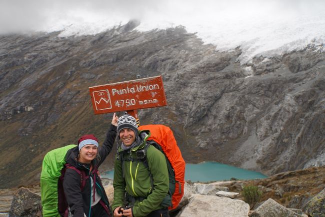
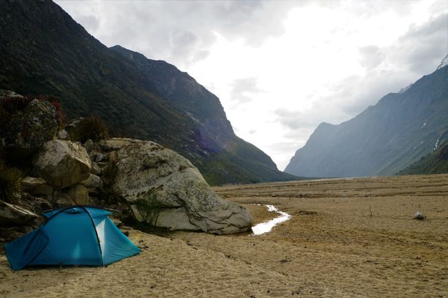
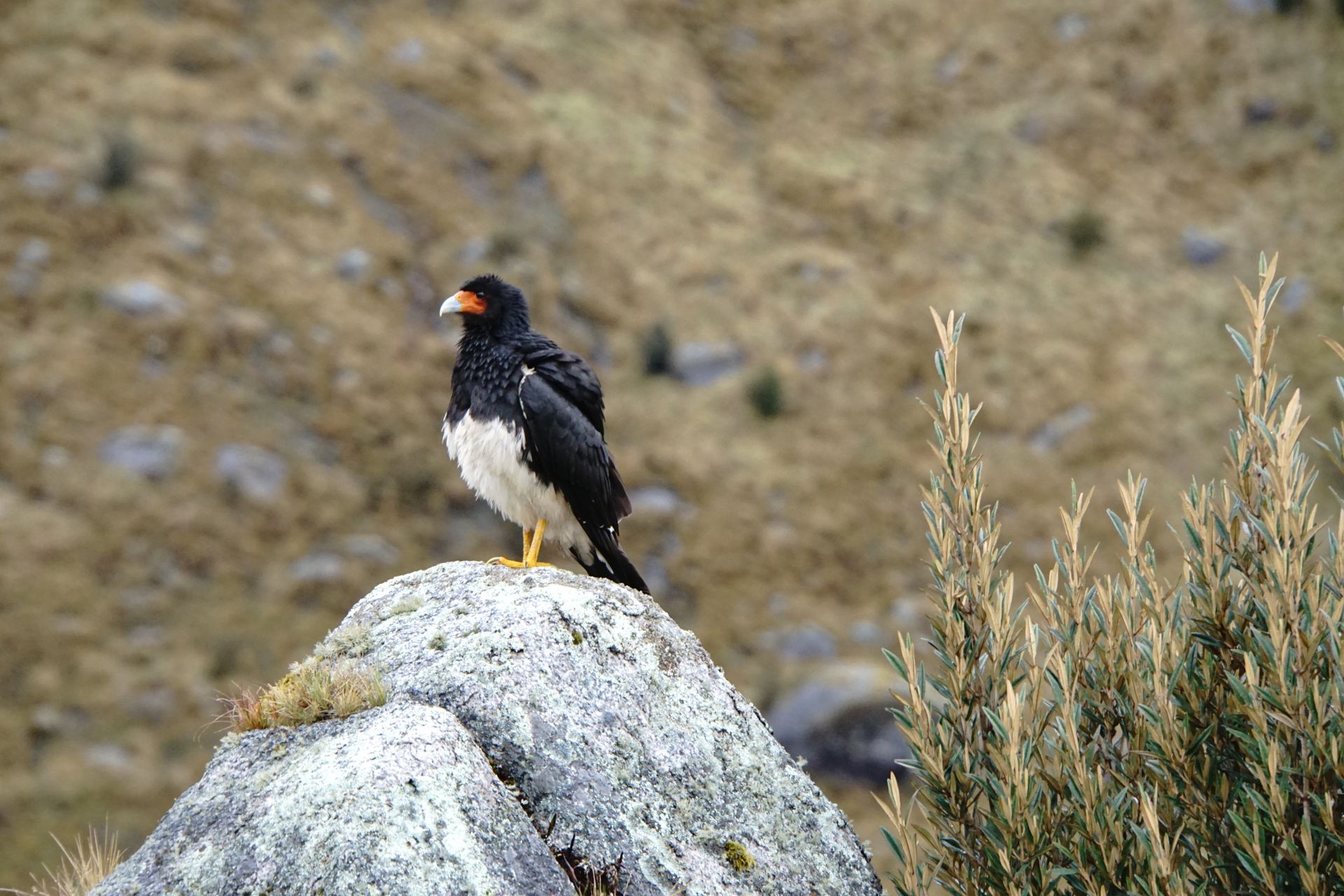
At some point, we are just soaking wet. The path itself doesn't make it any better. Apparently, it has been raining here for a while, and the ground is saturated with water. Countless small streams meander through the grass. Markus reaches a low point in his mood, but my efforts to cheer him up with the music from 'The Lord of the Rings - The Fellowship of the Ring' are successful (after all, the hobbits also hiked in wind and weather!). The weather is so bad that we decide to keep going further than originally planned, just so we don't have to set up our tent yet. This turns out to be a wise decision. This way, we start the first day with part of the ascent to the pass. We gain about 500-700 meters in altitude, the sky slowly clears up, and we reach an unofficial campsite before dark. As the Huascaran National Park is not as luxurious as the Salkantay Trek (no toilets, covered campgrounds, or hot showers here!), this campsite is not much different from the official ones (the only difference being that they are marked with a sign indicating the name). We set up our first camp under a mighty white mountain peak, observed by beautiful, though somewhat stern-looking, birds.
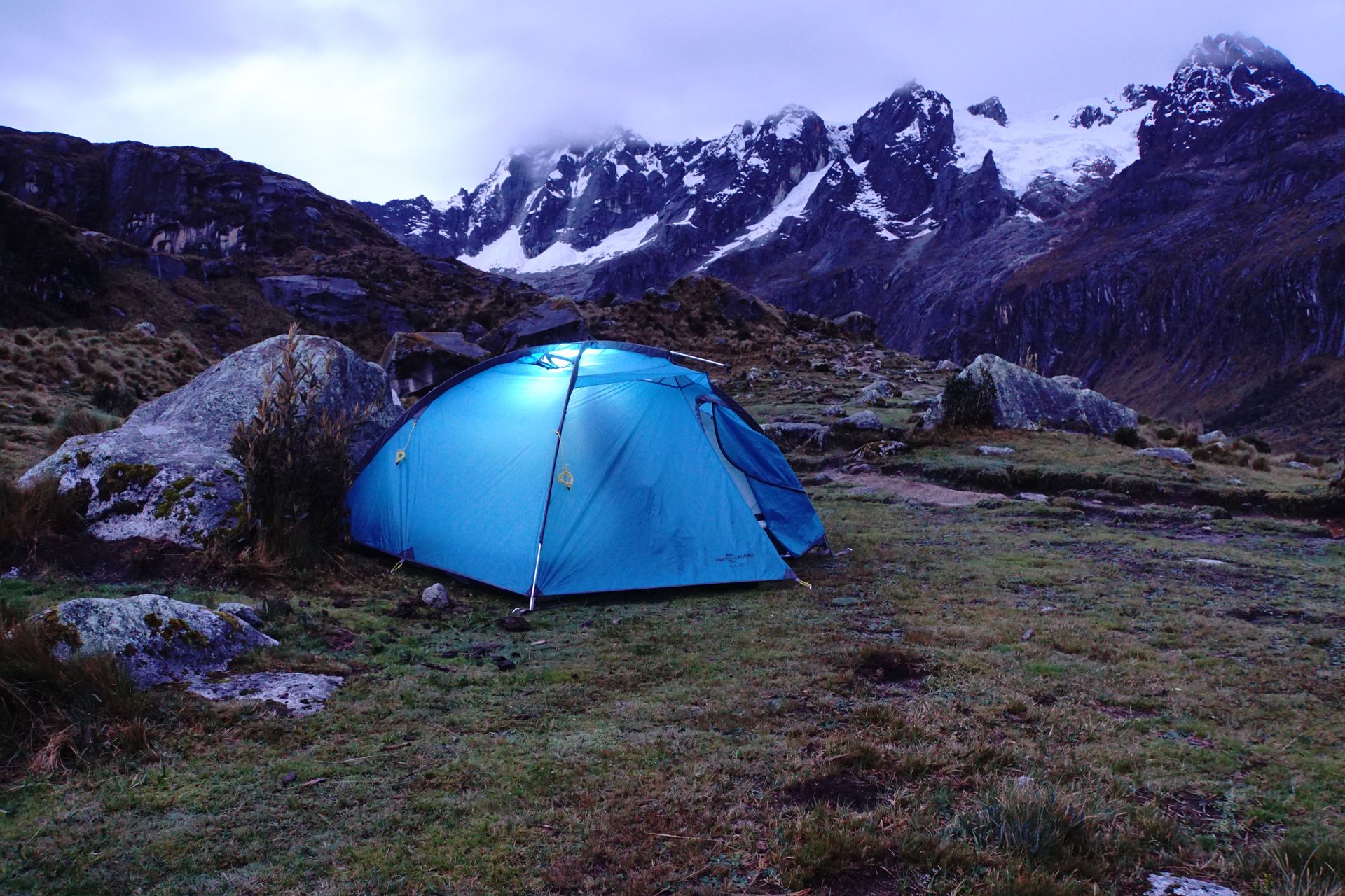
The next morning, we don't have many kilometers ahead of us. However, time is running out today. The last collectivo from Cashapampa to Caraz leaves at 2 p.m., from where we can take another one back to Huaraz. Luckily, the path is all downhill now. And we can't get lost anymore, as we just have to follow the river, which gradually turns into a raging stream.

When we arrive in Cashapampa, two other backpackers are already waiting for a collectivo. Lucky us! Despite the rather adventurous driving style of our collectivo driver (the description rally driver fits better), we arrive safely in Caraz. From here, it's a piece of cake, and we're back in Huaraz before 6 p.m.
Agsubscribe iti Newsletter
Sungbat (1)
Hallo, eine sehr schöne Landschaft die ihr erkundet. Wir hoffen, dass ihr immer noch Lust zum Wandern habt. Nach den Strapazen 🤔🤔
Markus, hoffentlich hat es dich nicht richtig erwischt. Wobei Peter schon verstehen kann, wie man sich bei einer Männergrippe fühlt 😉🙂 viele liebe Grüsse aus dem kalten Deutschland Conny, Peter und Luca
Dagiti report ti panagbiahe Peru nga
