Day 16 - Dunes, Ayo Rocks and the Hooiberg
Diterbitkan: 30.01.2024
Day 16 (August 21, 2023)
We actually want to go to Arashi Beach, but the weather here in Aruba isn't as good as we are. While I would have liked to see a cloud on Curacao, some sun would actually be nice now. It's very cloudy - snorkeling and the beach somehow don't make much sense in this weather. But what do we do today? So first have breakfast in peace and quiet and chill out.
We later decide to load the car with everything (swimming suits, snacks, drinks and beach equipment), then we drive off towards Arashi Beach and see what the weather is like. On the way we stop at the Super Food supermarket and have a small lunch. Today we decide on sandwiches, baguettes and wraps.
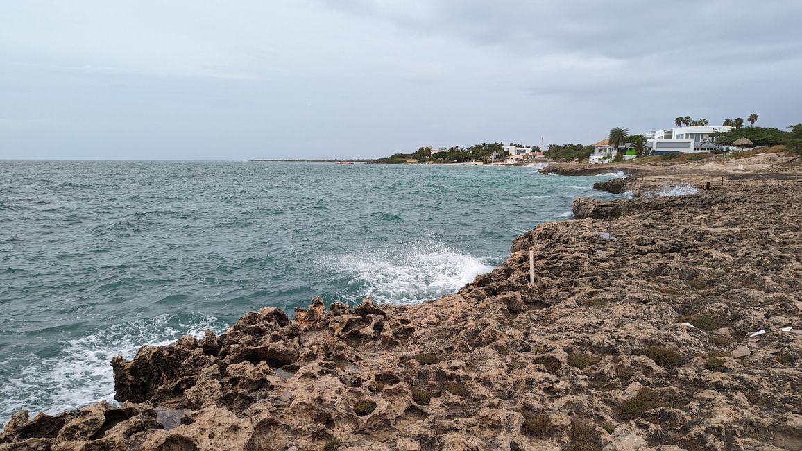
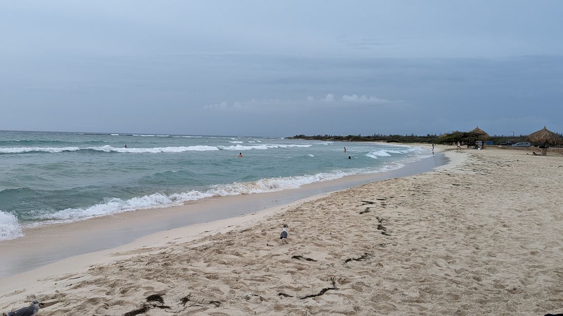
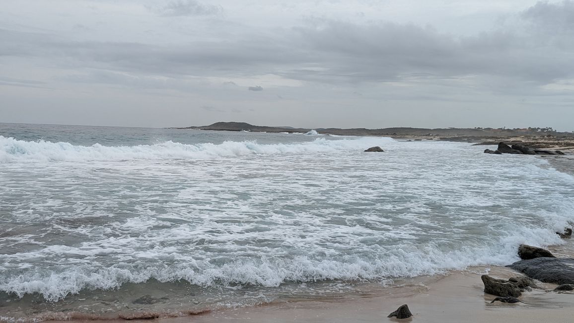
After dinner we drive up the coast towards Arashi Beach. As expected, the weather is very poor. The pictures on the Internet that I looked at in advance showed turquoise blue water, not a single wave - today there are waves rolling onto the beach and unfortunately the weather doesn't make anything look turquoise.
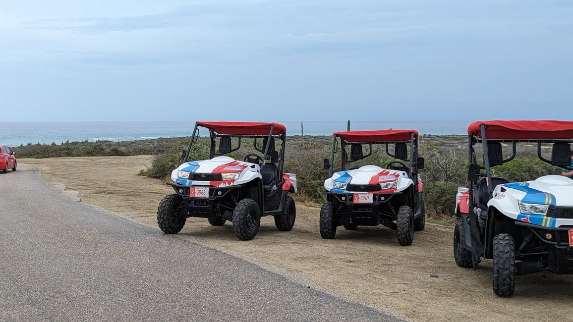
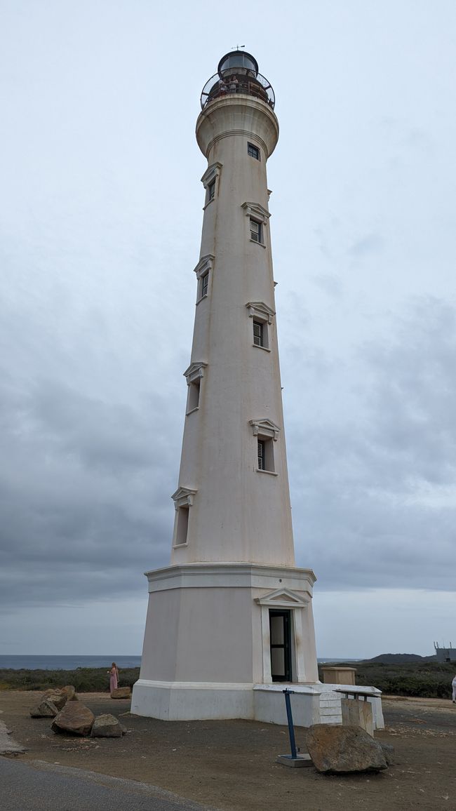
We continue to the California Lighthouse, but decide not to climb the lighthouse because we don't want to pay the entrance fee. There are several quads parked in front of the lighthouse - there's probably a safari going on here. We had thought about it in advance, but then we decided not to go on a safari after our flights became so expensive due to the cancellation.
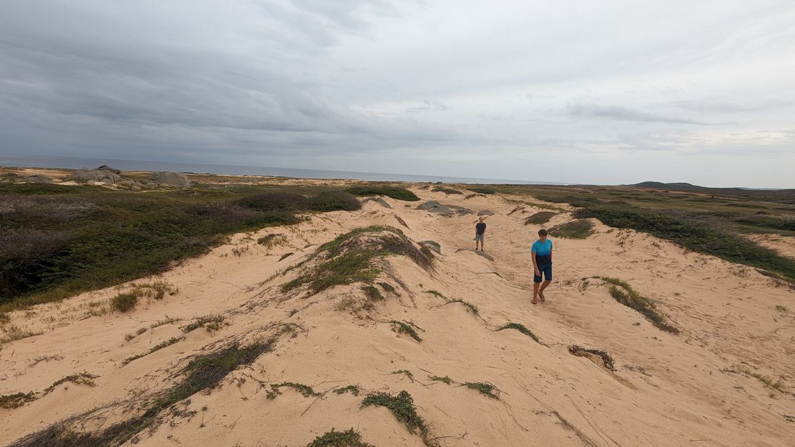
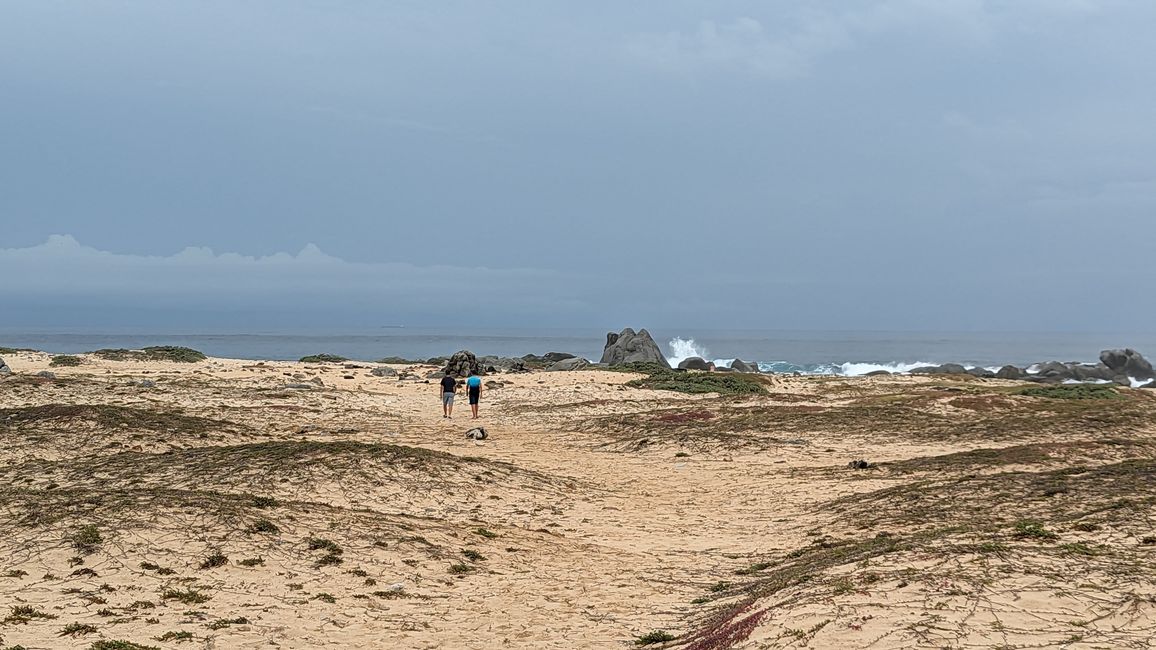
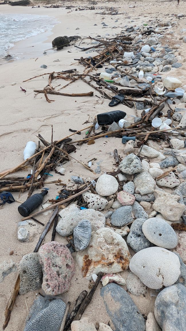
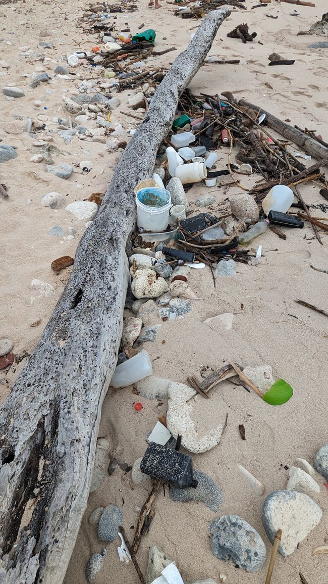
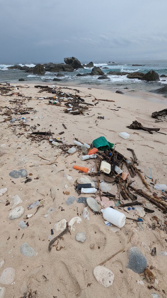
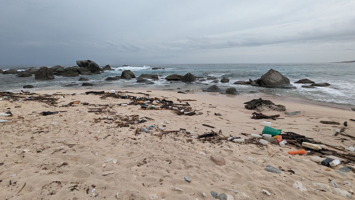
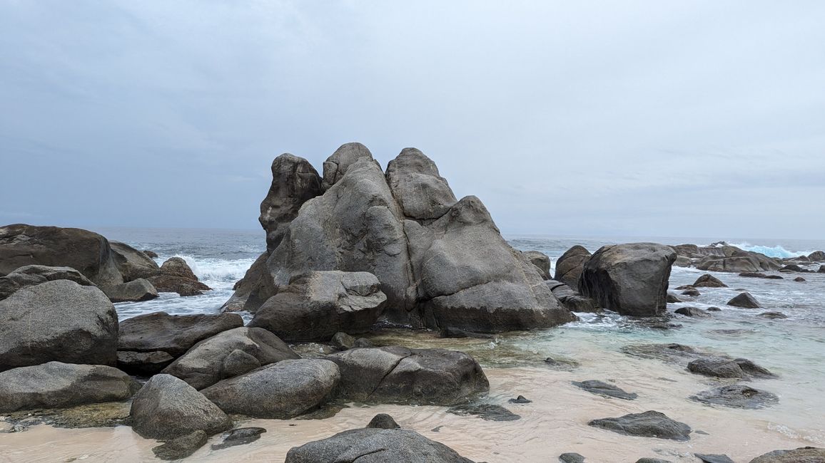
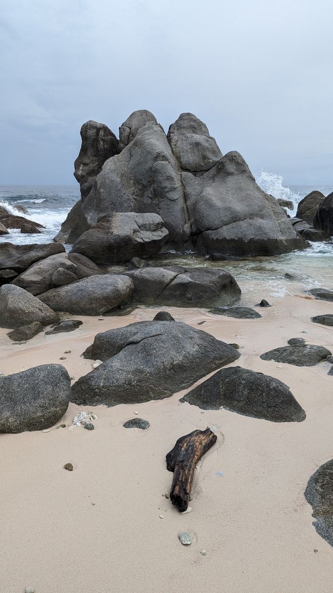
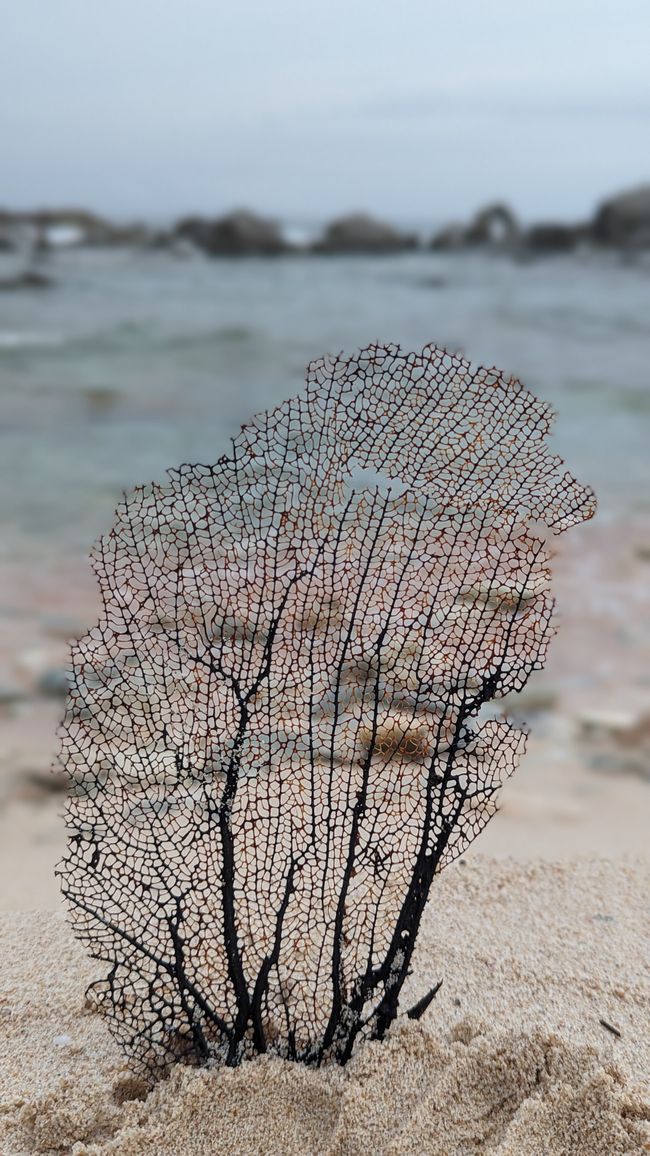
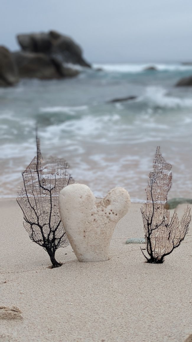
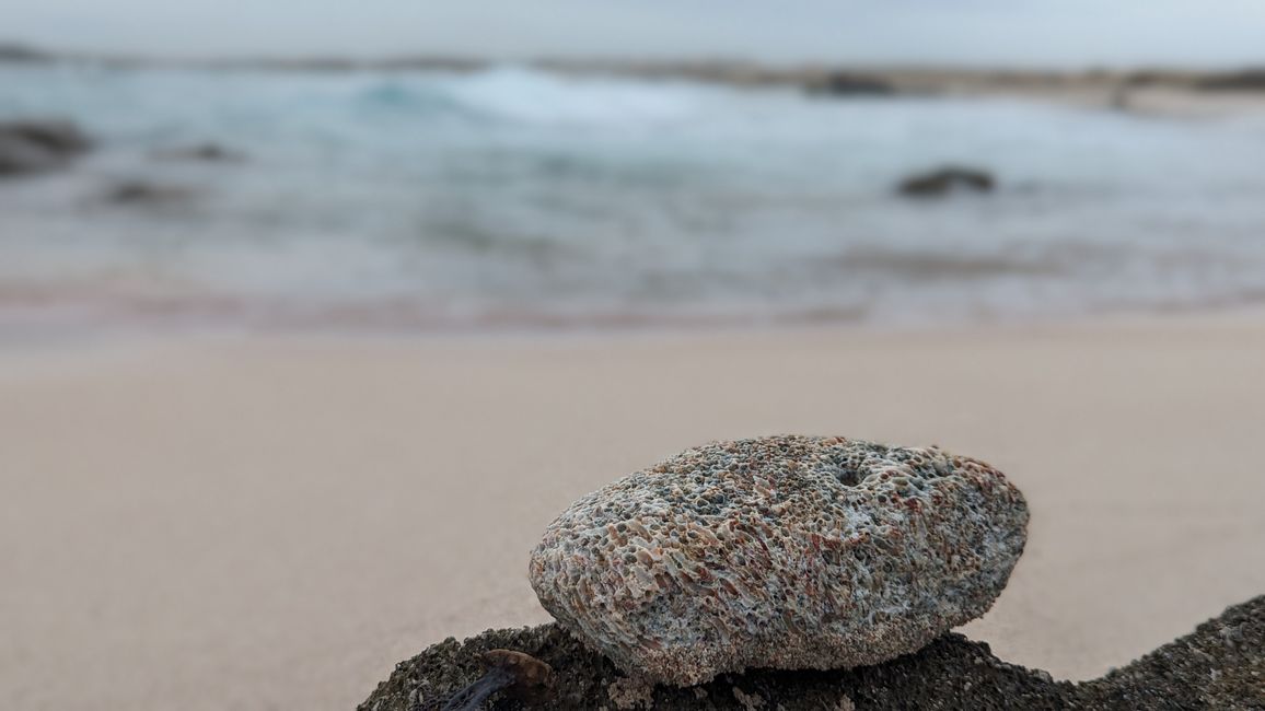
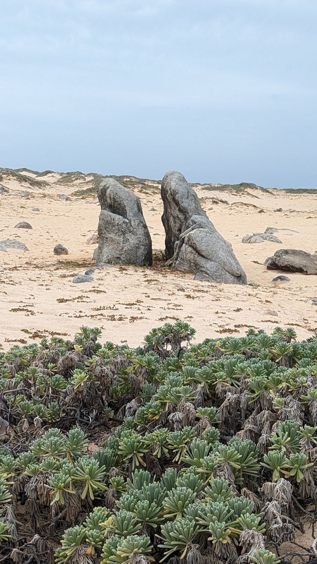
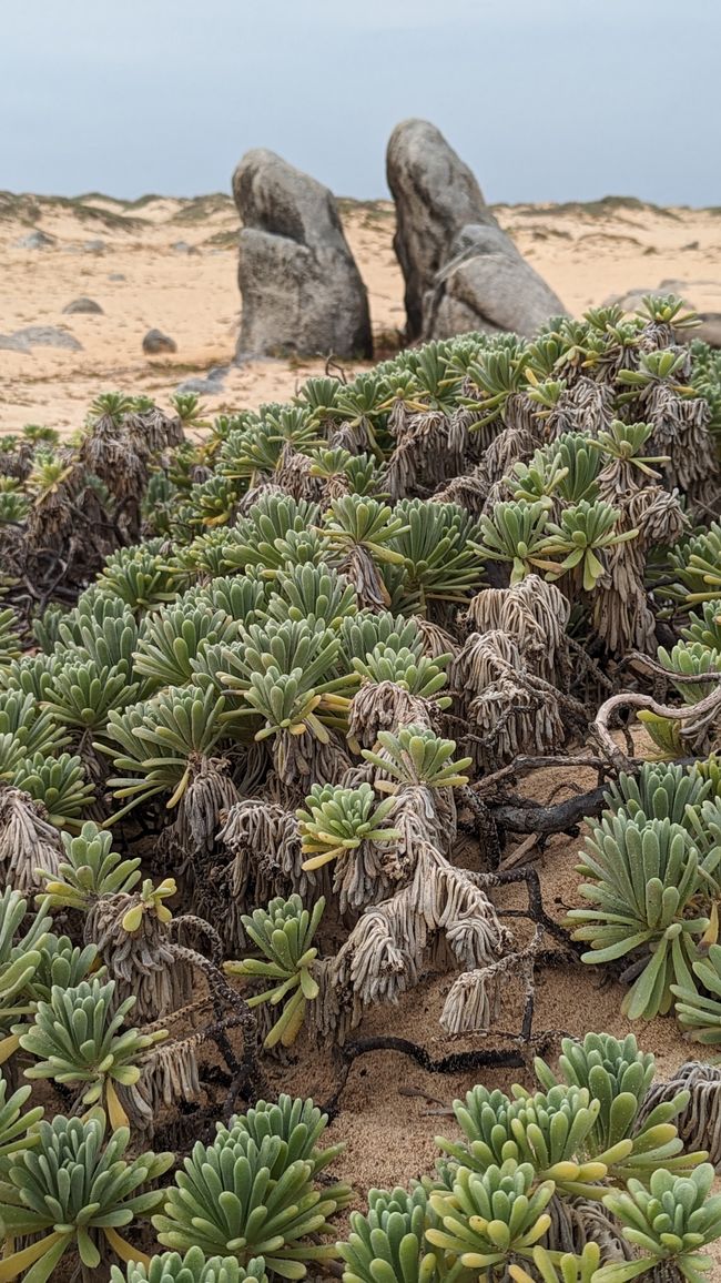
We stop a bit below in a parking lot at the dunes and take a walk through the Sasariwichi Dunes to the beach. Although there is no sun, it is terribly hot and humid. At the sea, I am horrified by the rubbish that has washed up here. Mountains of rubbish are piling up here. Everything is represented - plastic waste, nets, shoes, leftover food and most of all plastic bottles and canisters are represented. Sad…
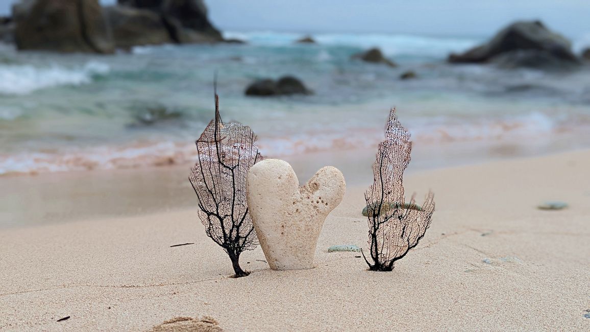
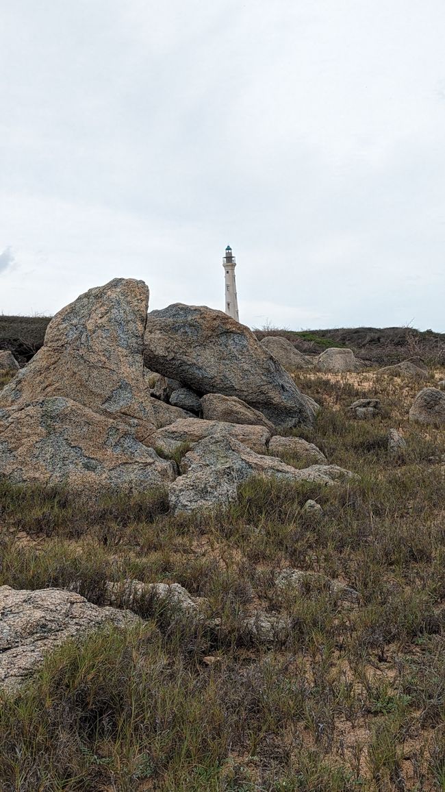
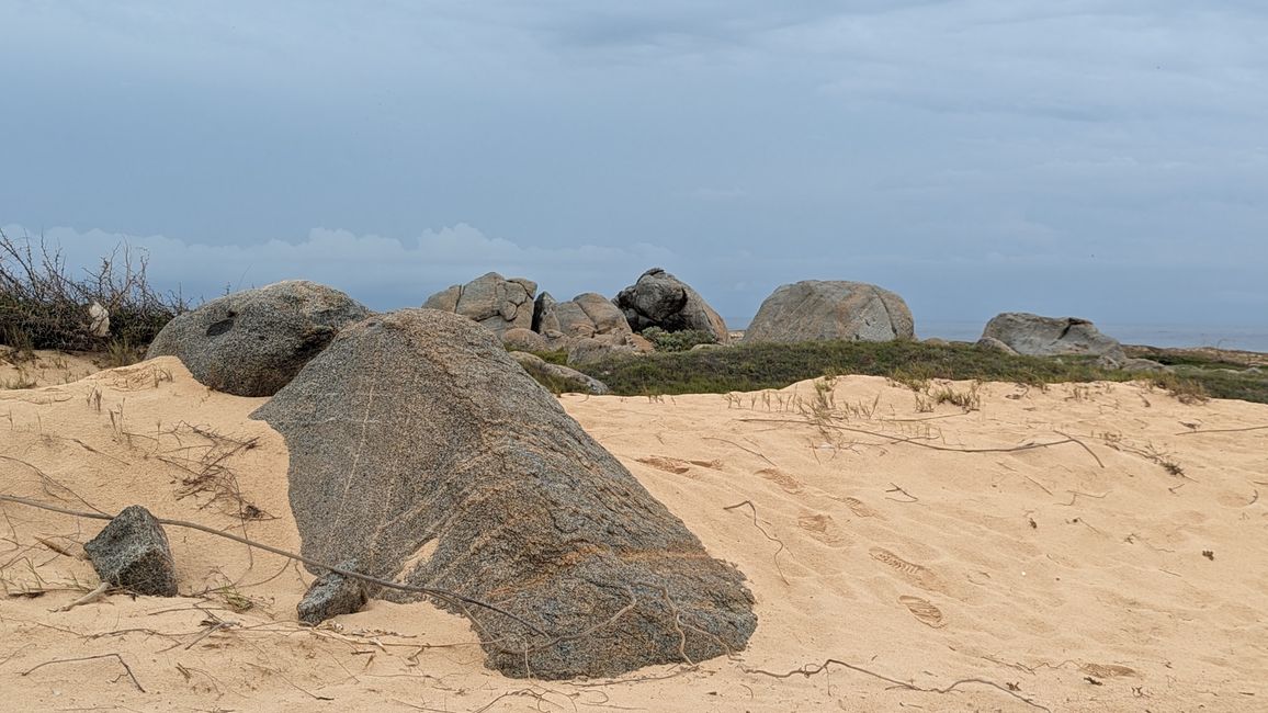
Otherwise it's fascinating to watch the waves splashing on the beach and I think a rock looks like a camel with two humps.
The weather isn't getting any better, so we continue driving and forego a swim at the beach.
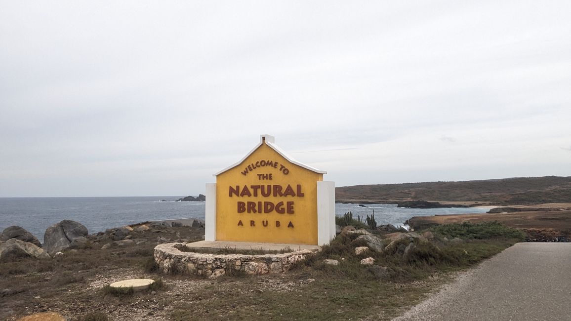
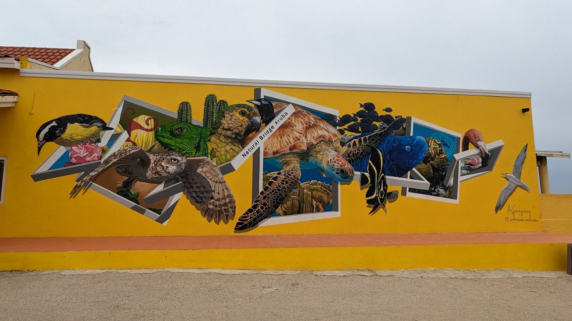
Next stop: Natural Bridge, Aruba.
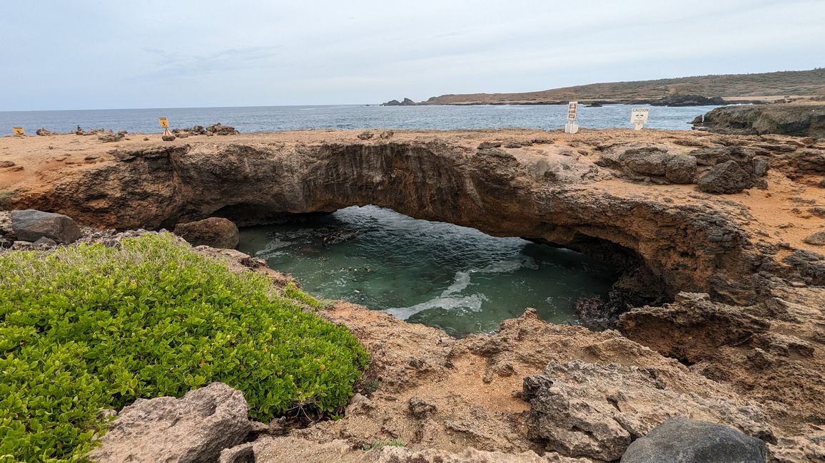
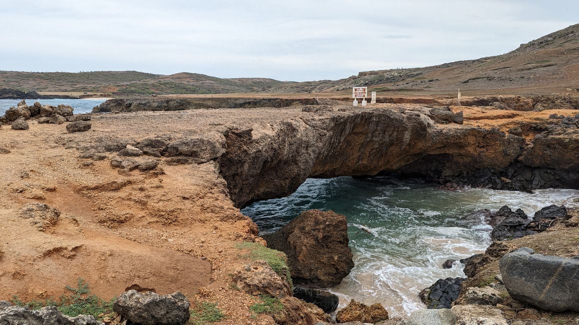
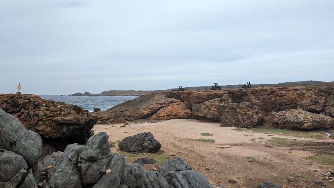
There are also several quad tours here. We stop in the parking lot and look at the small natural bridge. The large bridge collapsed in 2005. It was even protected as a natural monument. The bridges were created by leaching coral limestone that sea surf had eroded into the stone over the centuries in Andicuri Bay on the northeast side of the island. With a total length of 30 meters, the large bridge was the largest natural arch bridge of its kind in the Caribbean. The highest point was around 7.6 meters above sea level. It could also be driven on by vehicles.
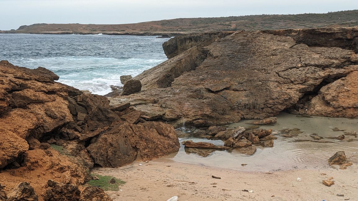
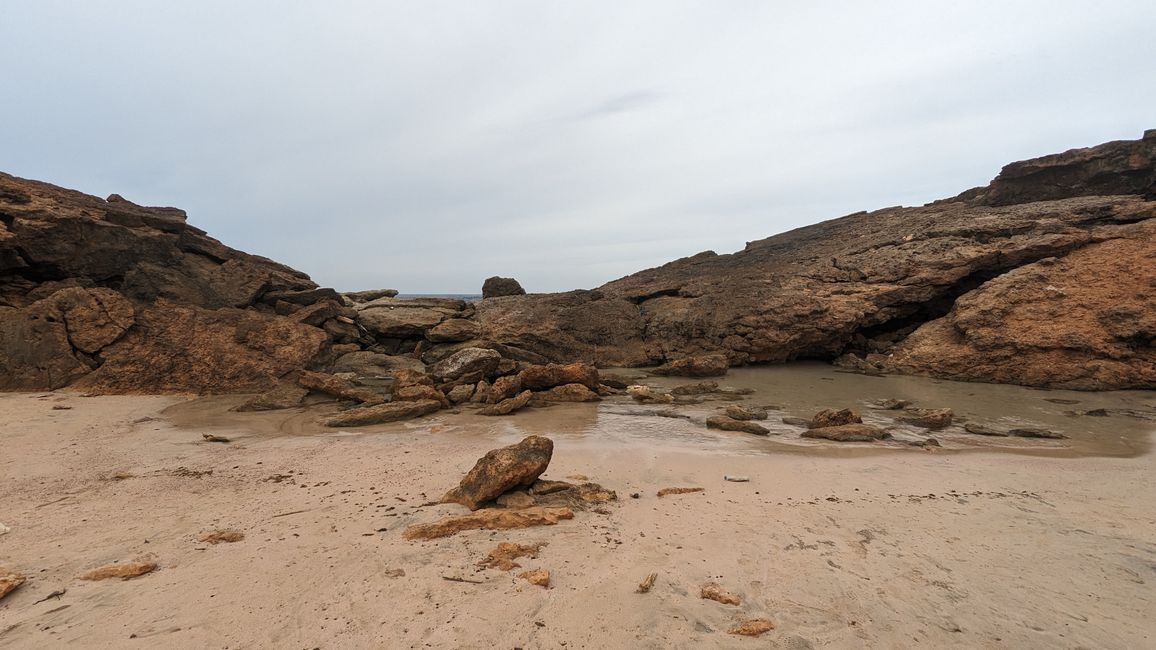
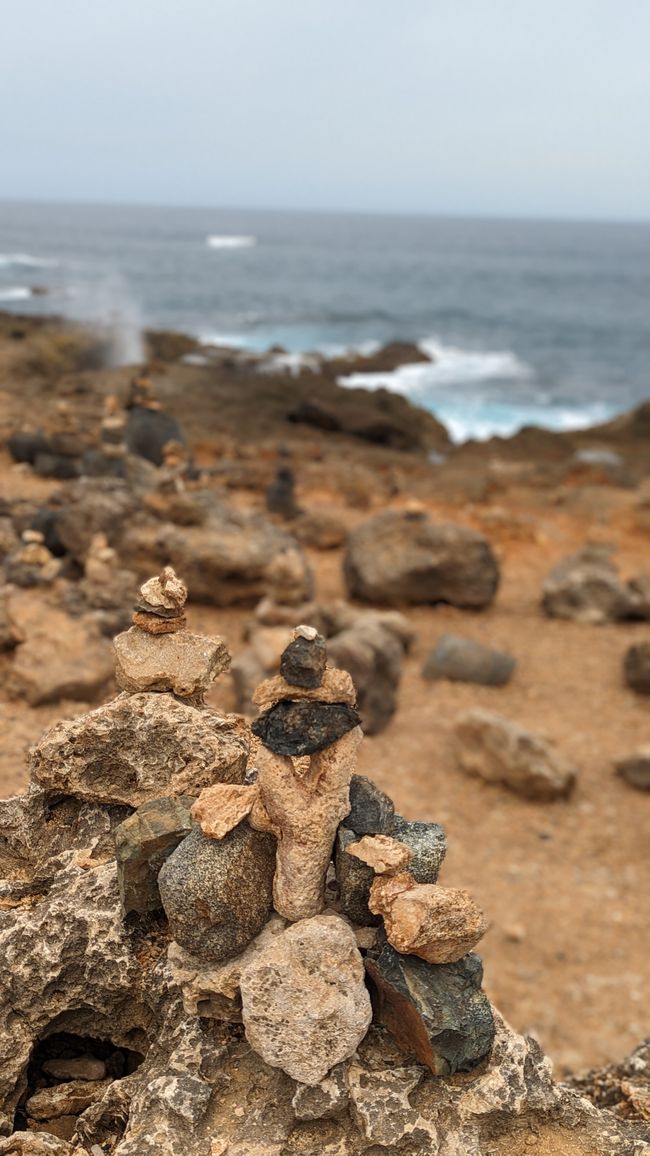
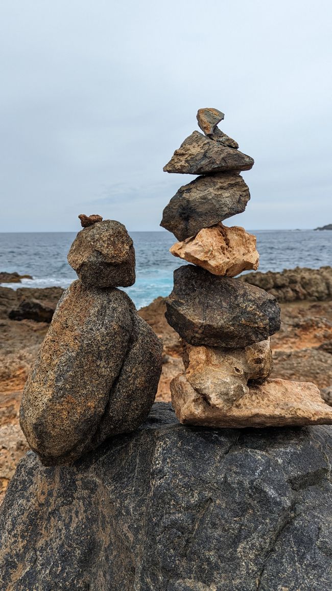
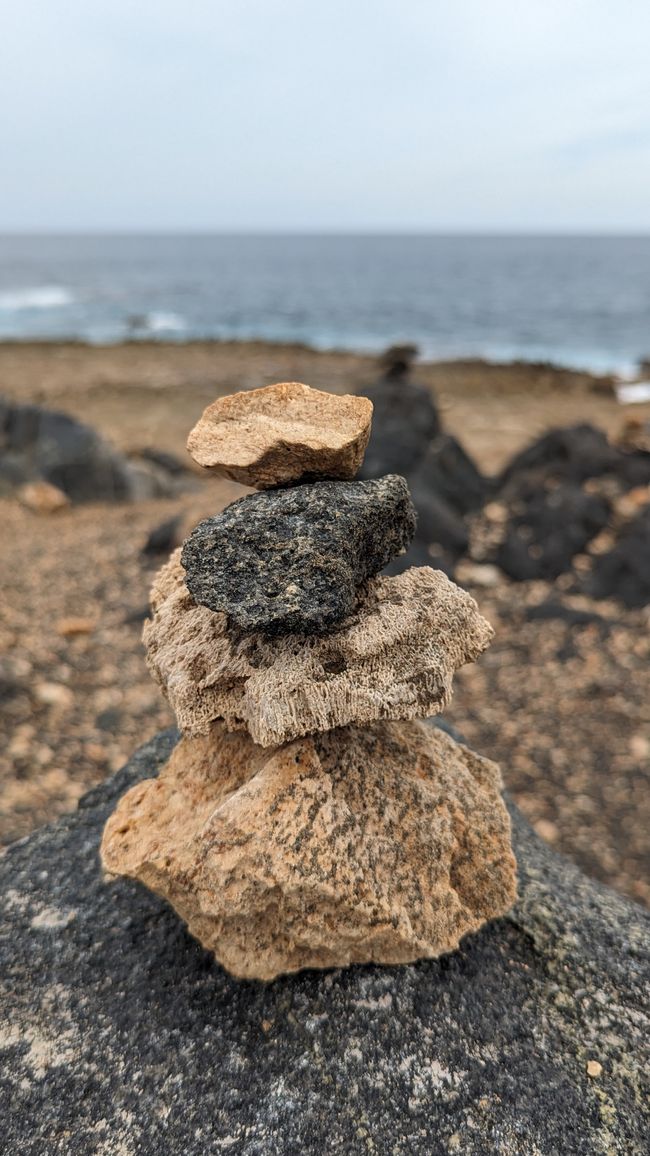
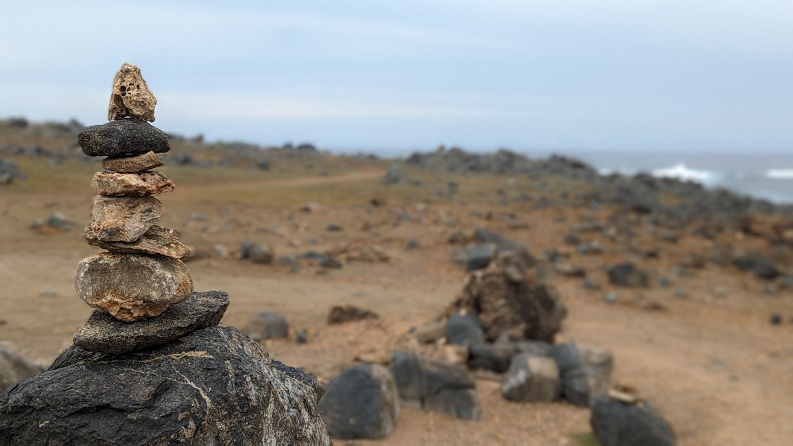
The large bridge was the symbol of the island, the much smaller bridge is right next to the collapsed bridge. I walk with Sohnemann down to the collapsed bridge, where the sea water squeezes under the stones and forms a small lake. Afterwards we look at the countless stone towers on the coast.
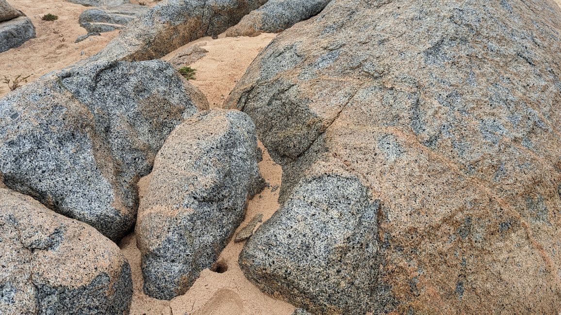
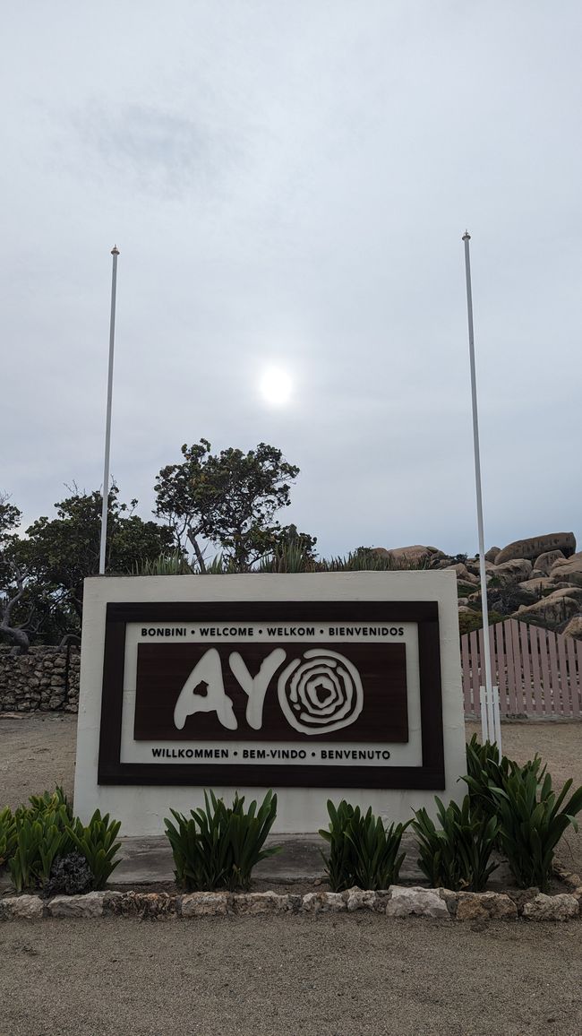
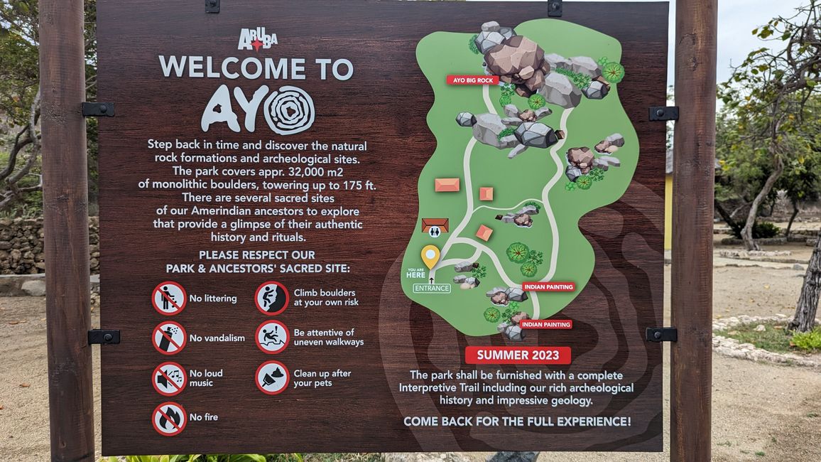
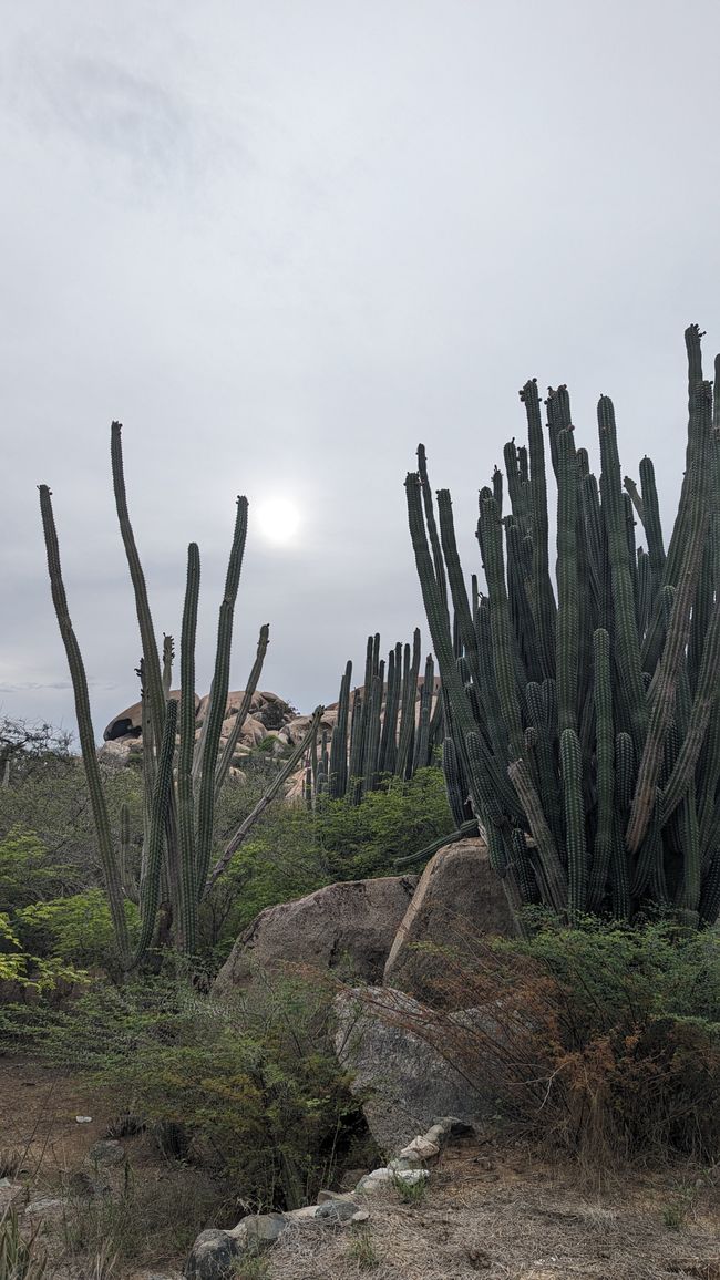
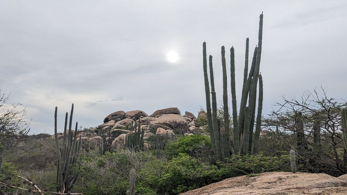
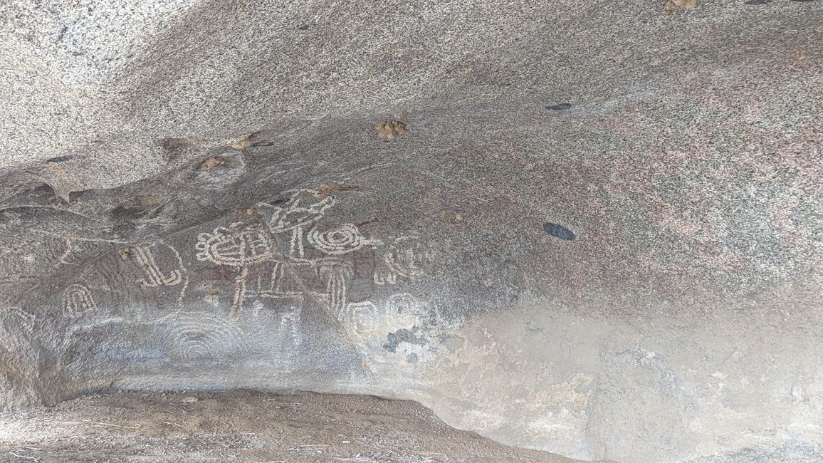
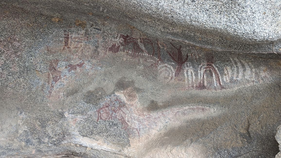
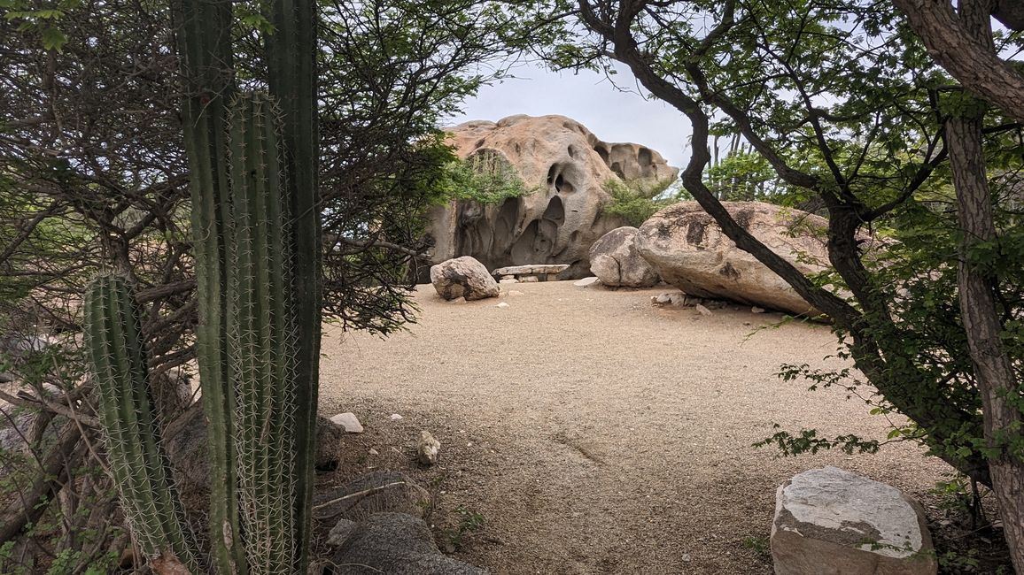
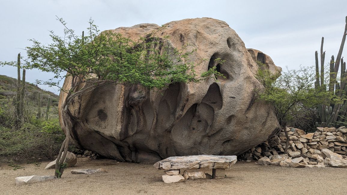
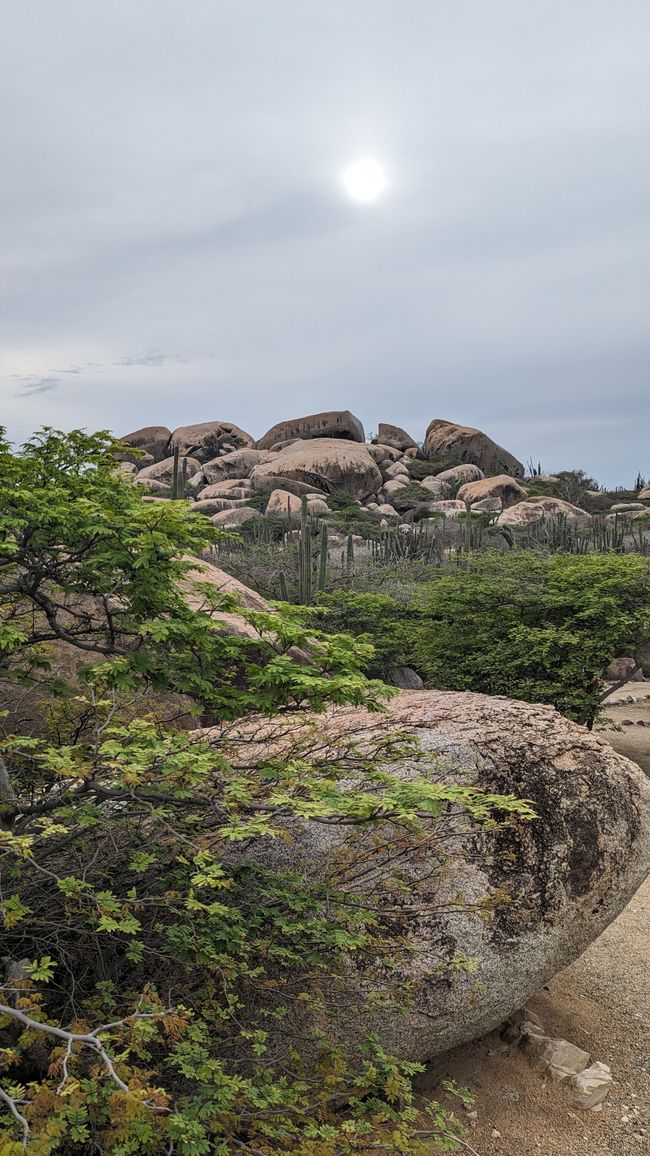
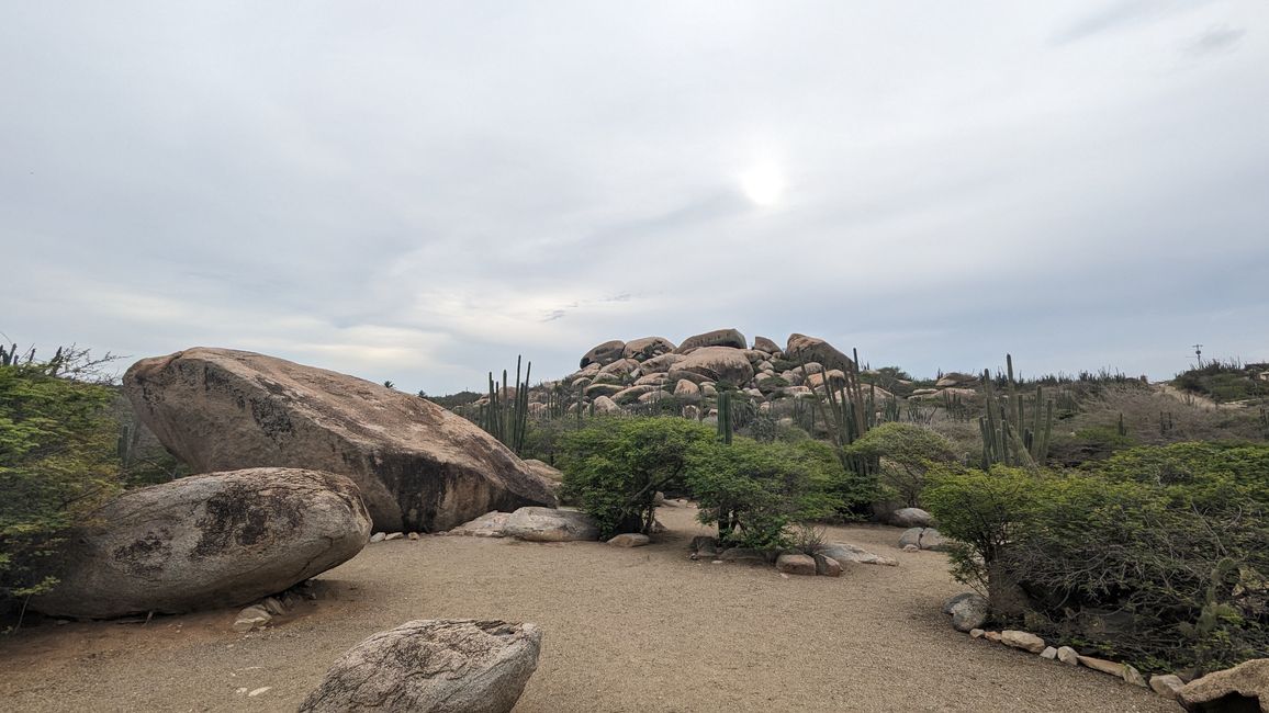
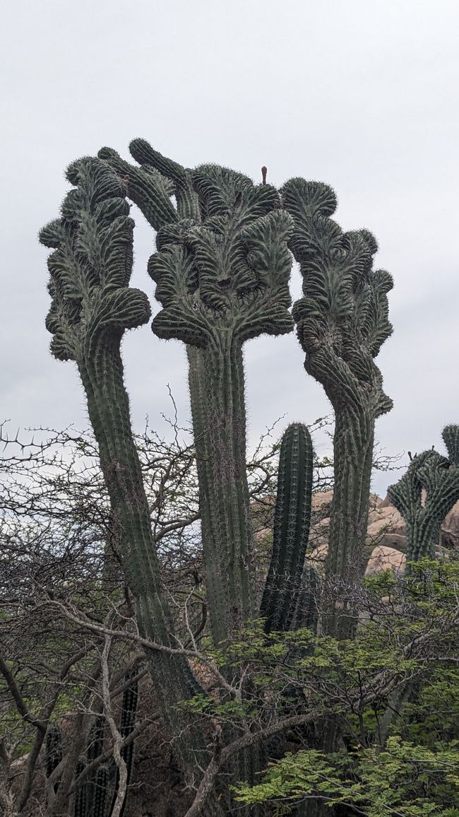
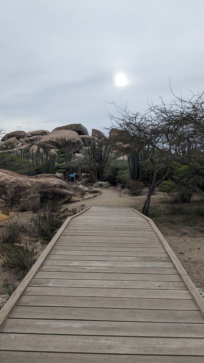
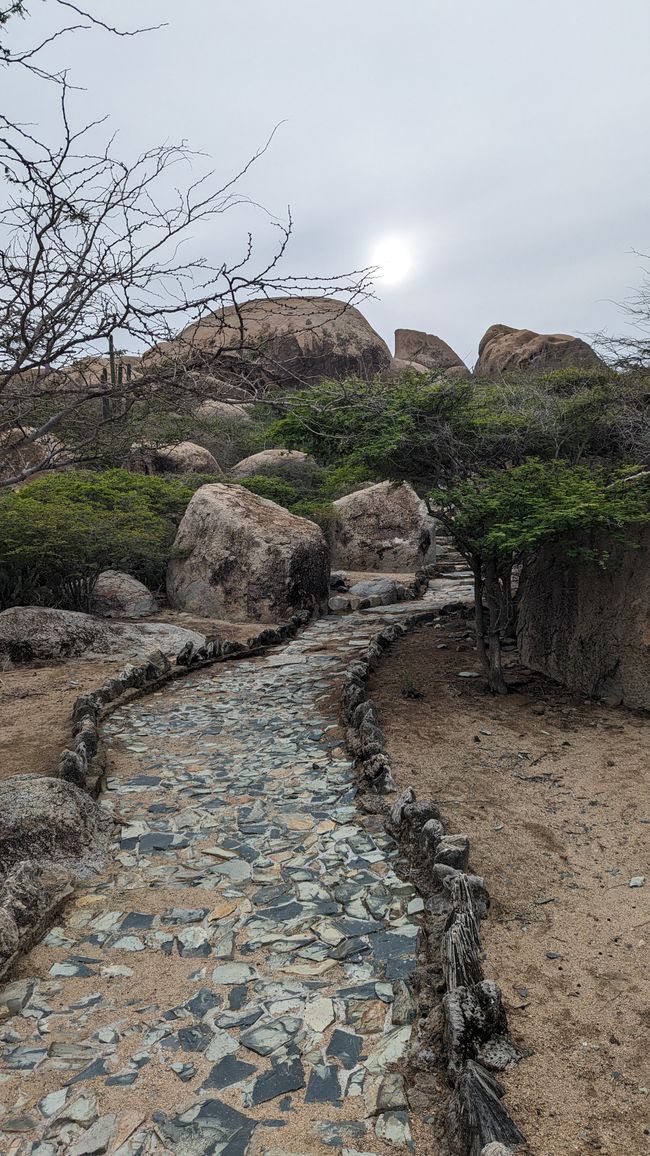
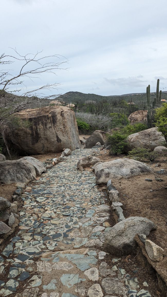
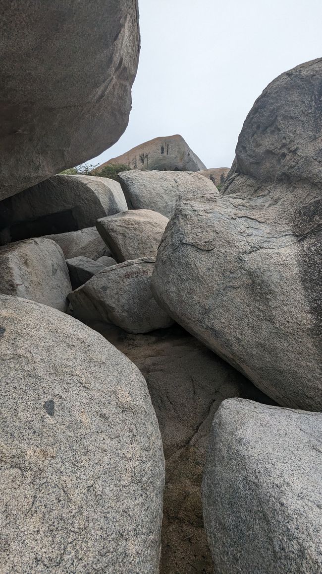
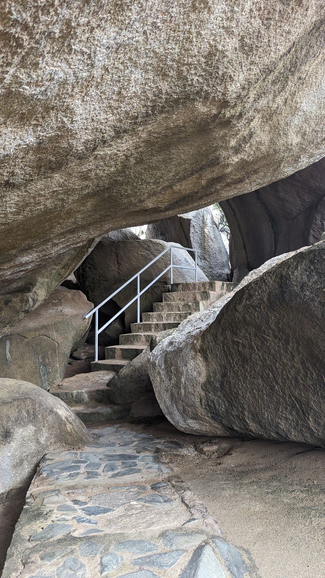
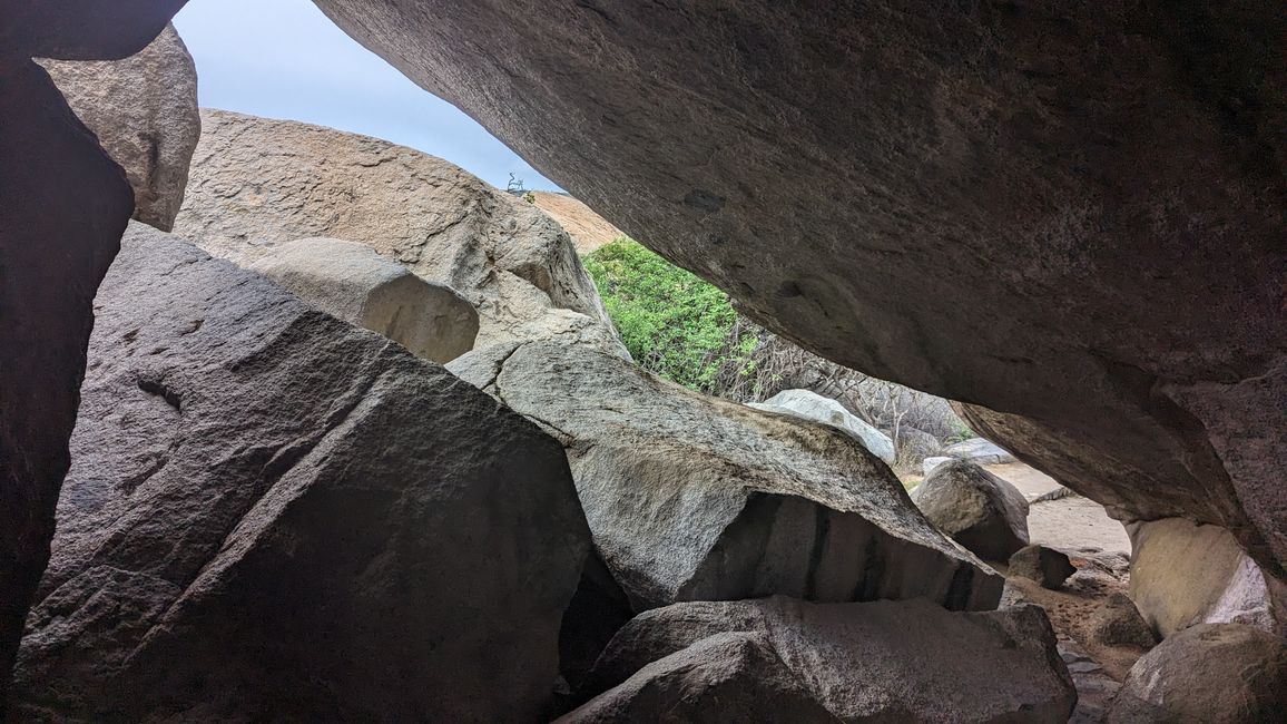
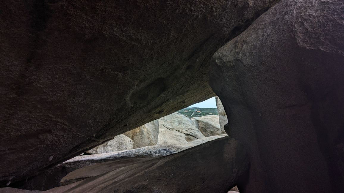
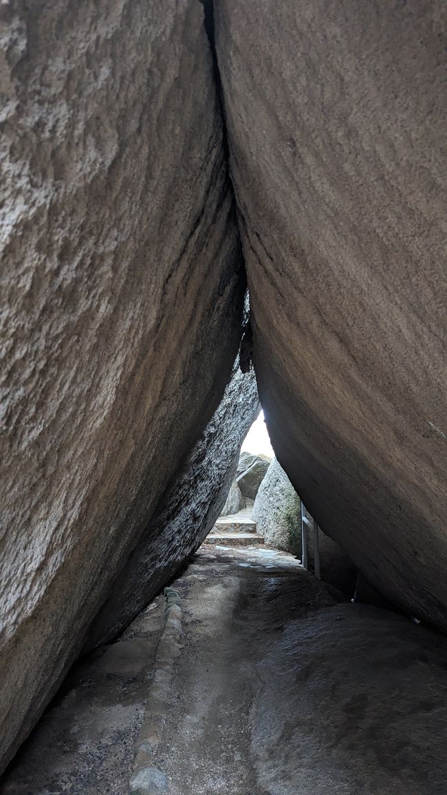
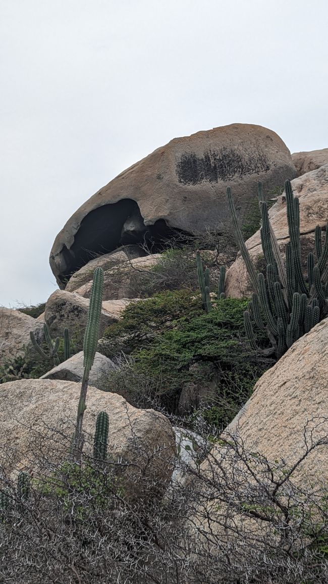
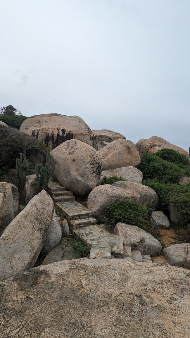
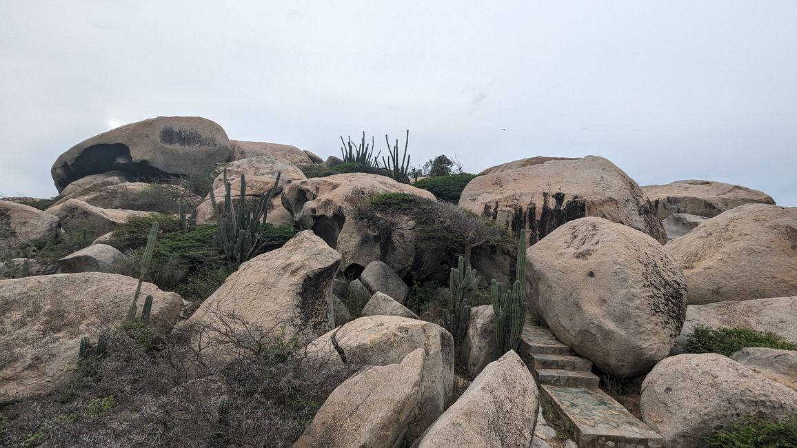
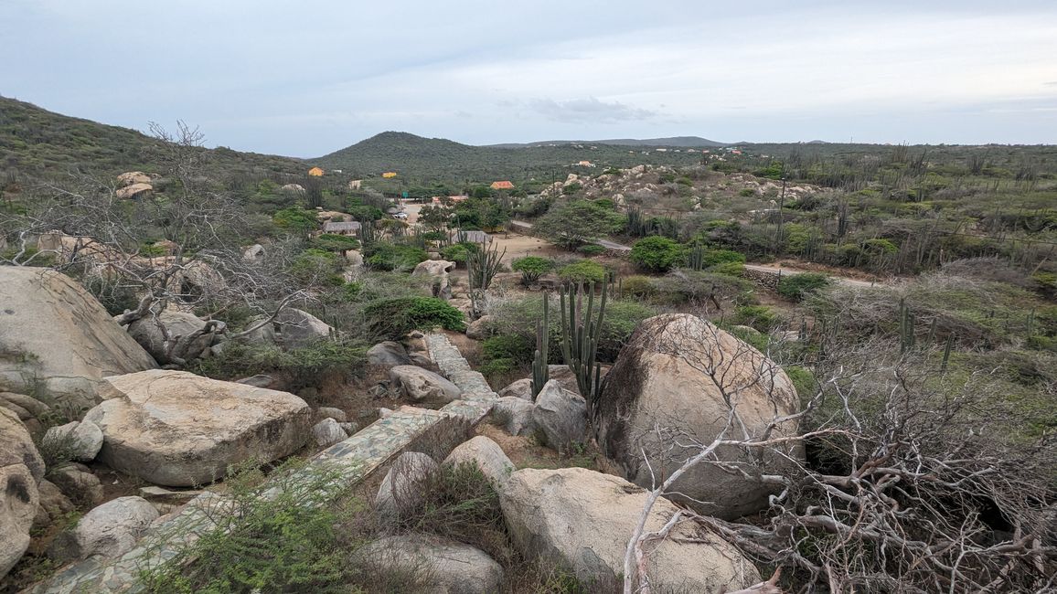
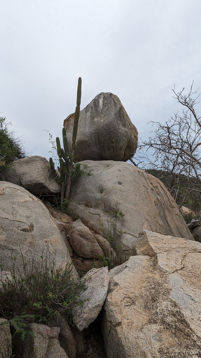
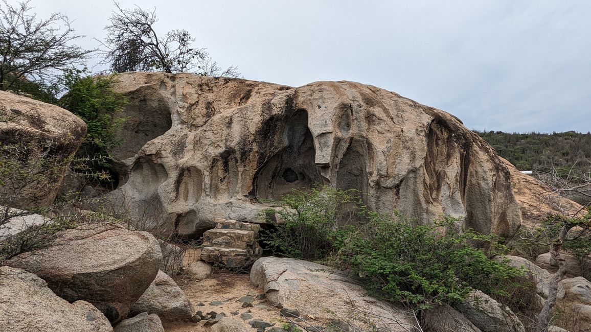
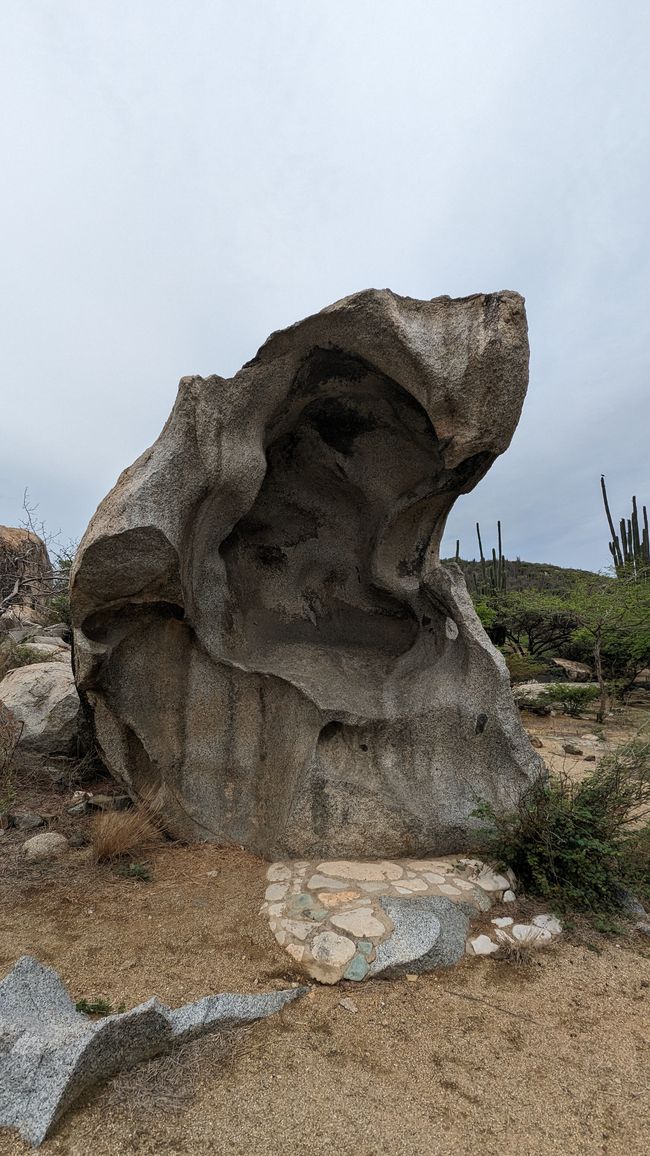
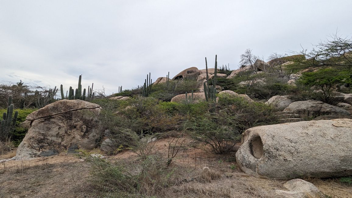
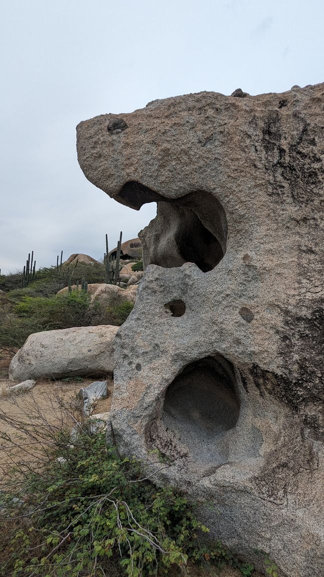
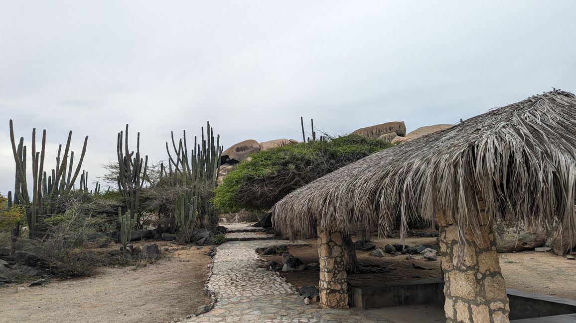
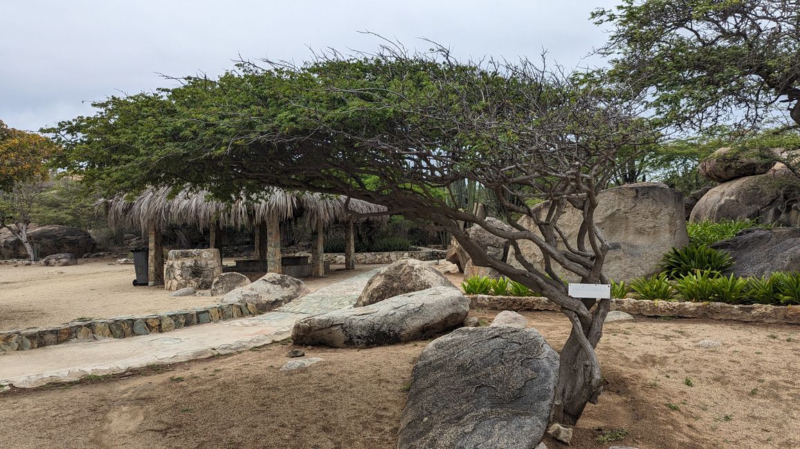
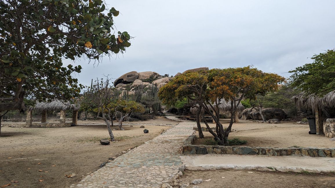
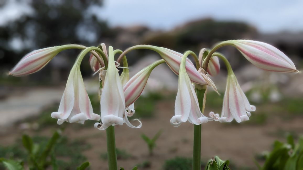
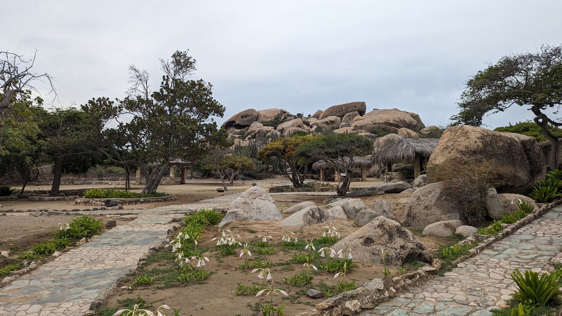
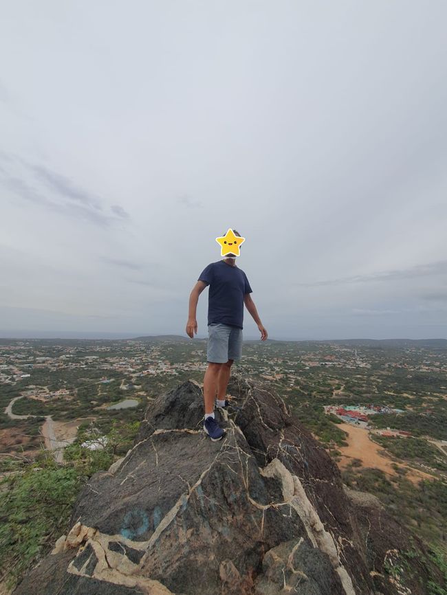
We continue to the Ayo Rock Formations, rock formations with petroglyphs of the Arawak, who were the first to settle the island. We are pleasantly surprised here because the small park is really very inviting, beautifully designed and it's really fun to climb the paths through the rock formations. The view from above is also great, even if the weather is mixed. We really like the park! Definitely recommended!
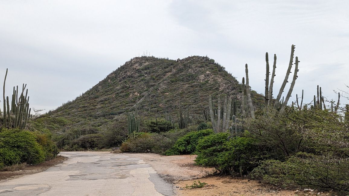
On the way back we drive to Hooiberg. Two of us also have to climb the highest mountain in Aruba...
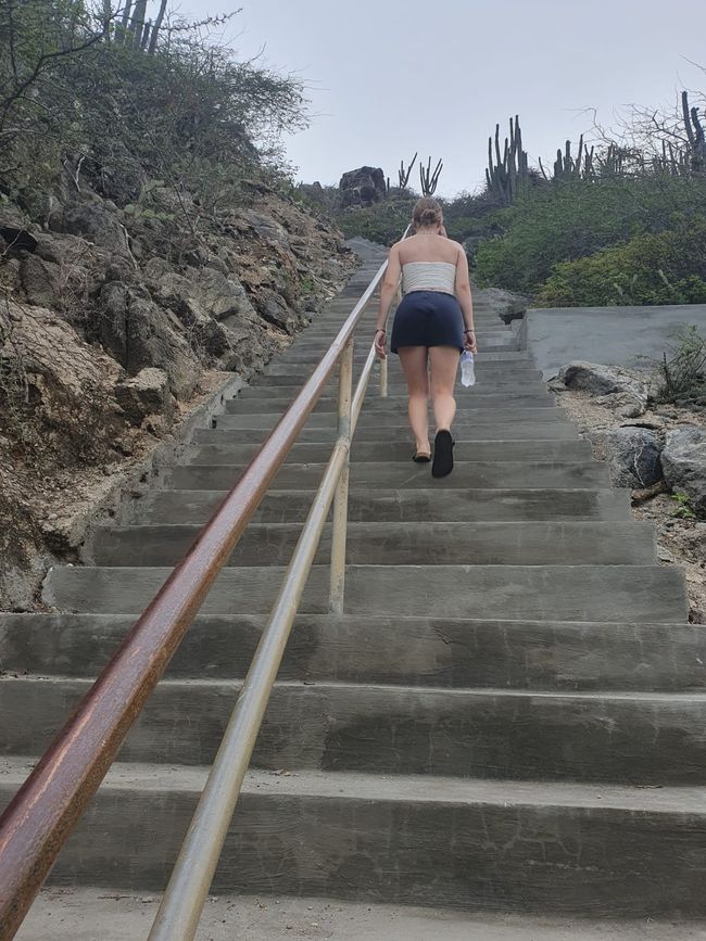
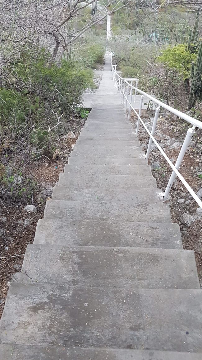
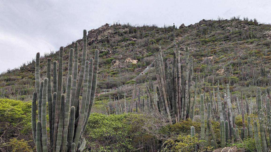
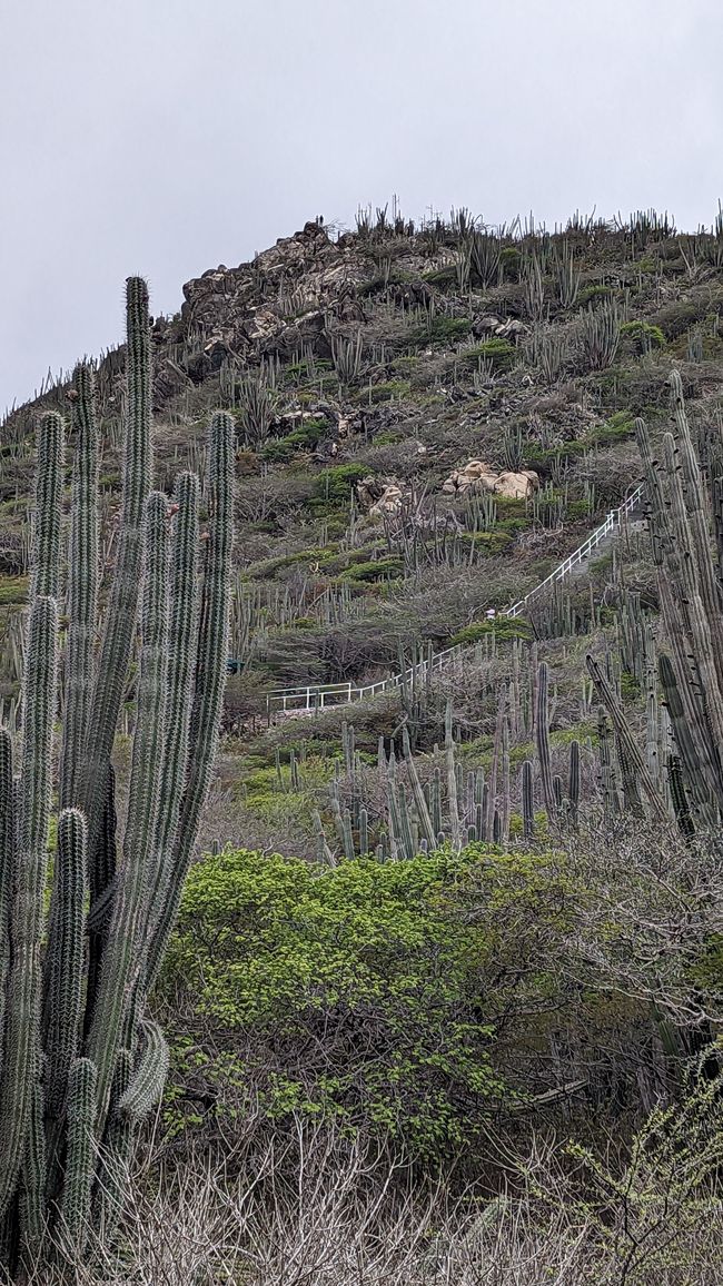
Sohnemann and I sit down on a rock with a can of soda and watch the two of them climb the 562 steps to the 165 m high Hooiberg. The mountain got its typical volcanic cone shape from the tectonic uplift of the Caribbean Plate several million years ago when the Pacific Ocean was formed. In principle, it is one of the elevations of a coastal hill range below the sea surface that extends from Venezuela into the Caribbean Sea.
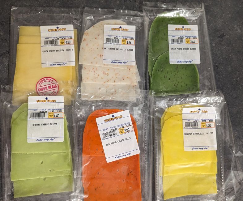
After the two get back downstairs, they go back to the villa. After cooling down briefly in the pool, we enjoy the sunset with bread and colorful cheese. Welcome to Aruba – good Dutch cheese is a must here too!
Menjawab
Laporan perjalanan Belanda
