
Oregon, Washington State & Vancouver Island
vakantio.de/oregonwashingtonundvancouverisland
Long Beach (WAS) & Mount St. Helens (OR)
Objavljeno: 22.08.2019

Pretplatite se na Newsletter
Wednesday 20.06. Lake Quinault - Mount St. Helens - Kelso (332 miles)
The sun is shining! Unbelievable! At 8:30 a.m., we get in the car and drive from Amanda Park towards the coast. The road runs through dense forests and shortly after 9, we reach the Pacific. The places there are desolate, poor, lifeless. No trace of a seaside atmosphere, holiday resorts or anything like that.
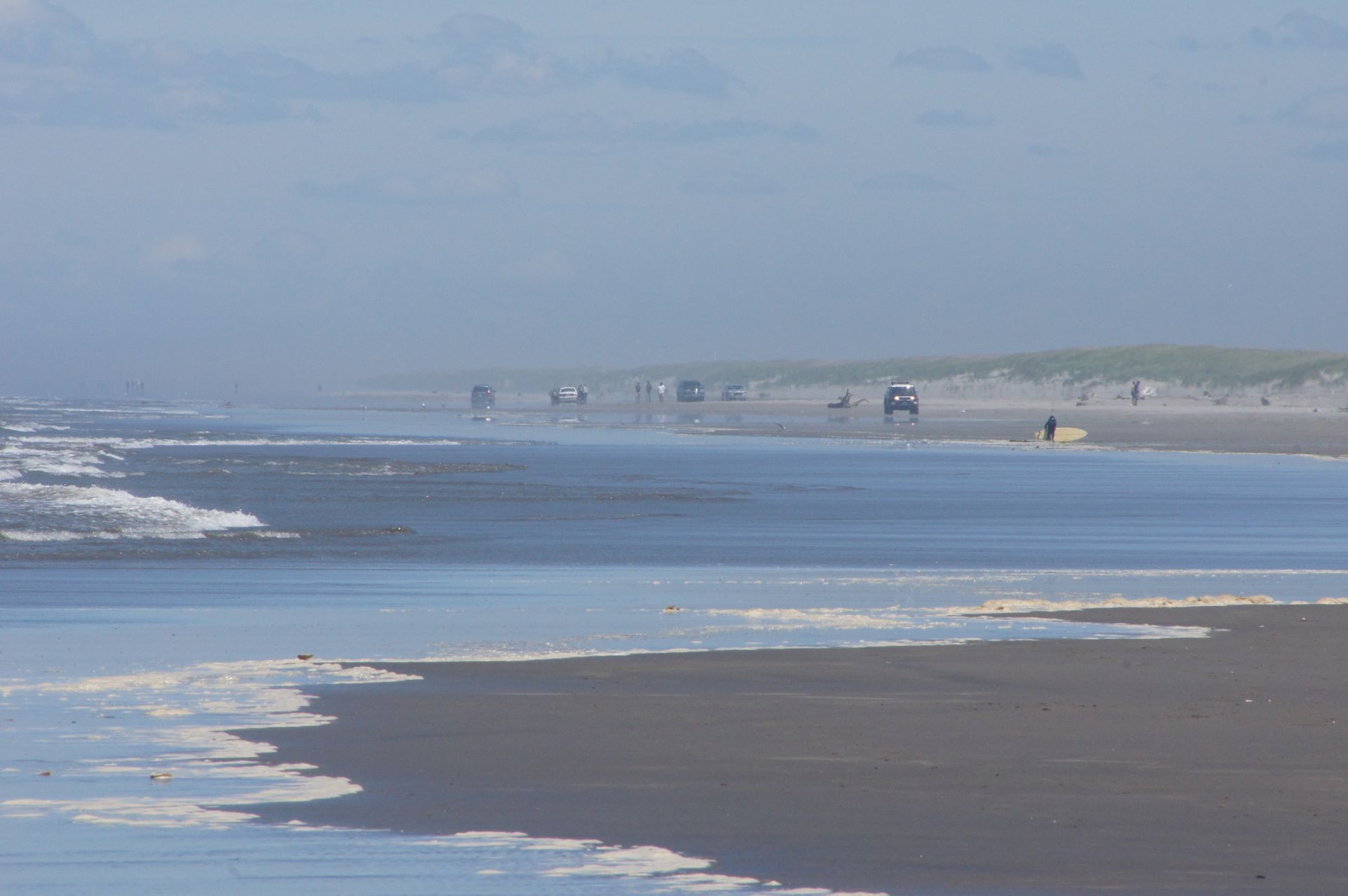
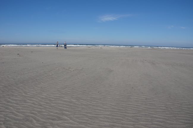
At the wide beach, a cold wind is blowing again. If you want to use the wide beach here, don't think about sunbathing. Rather think about wind jacket, fleece, and fast movements! So let's continue south - maybe it's warmer there...?
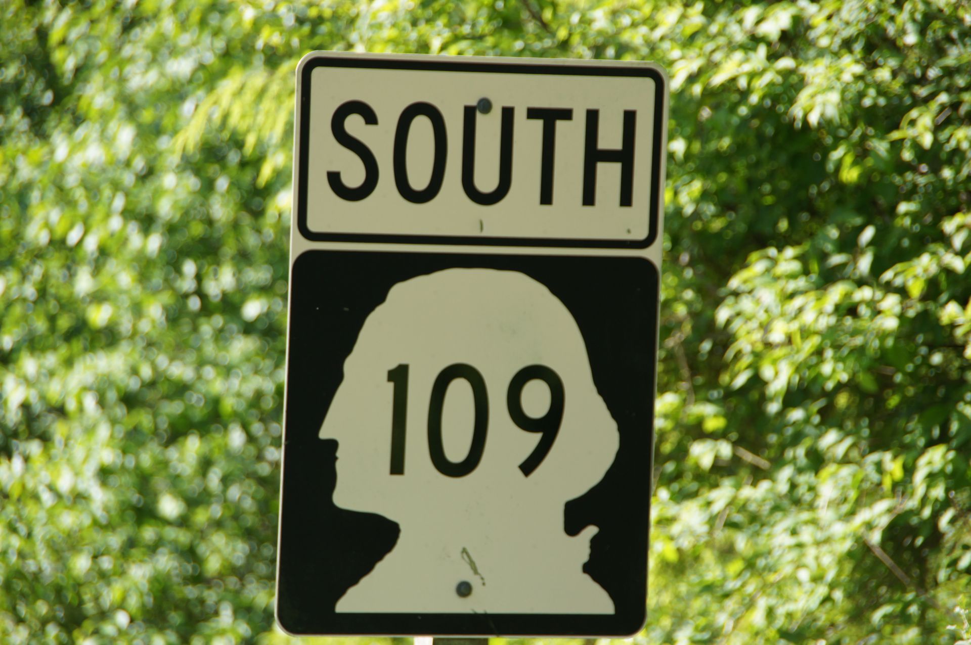
Greetings from Washington
In one of the towns we pass through, we find a sign that says "strawberry milkshake" and we stop there. Freshly made, absolutely delicious - a poem! We will remember it for years to come!
Long Beach - supposedly the world's longest beach - is located on a peninsula off the mainland. Although "mainland" is also more like a kilometer-long tidal landscape that is under water at high tide. However, these are miles inland, where we see mud, grass, and slush. There are boats in the tidal flats, so the tide must eventually come all the way here. Hard to imagine.

Long Beach

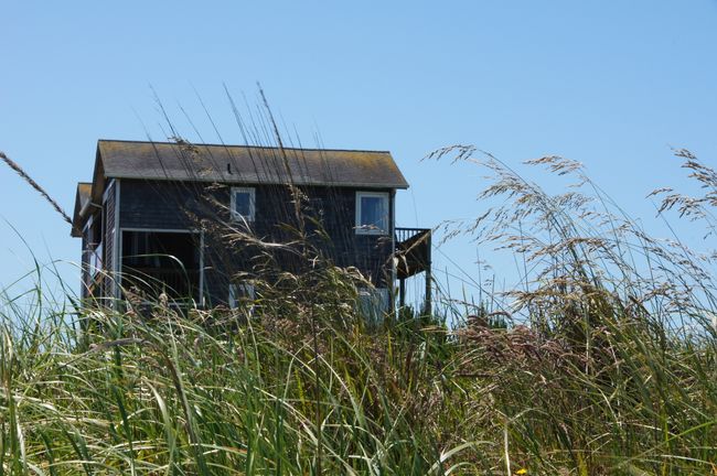
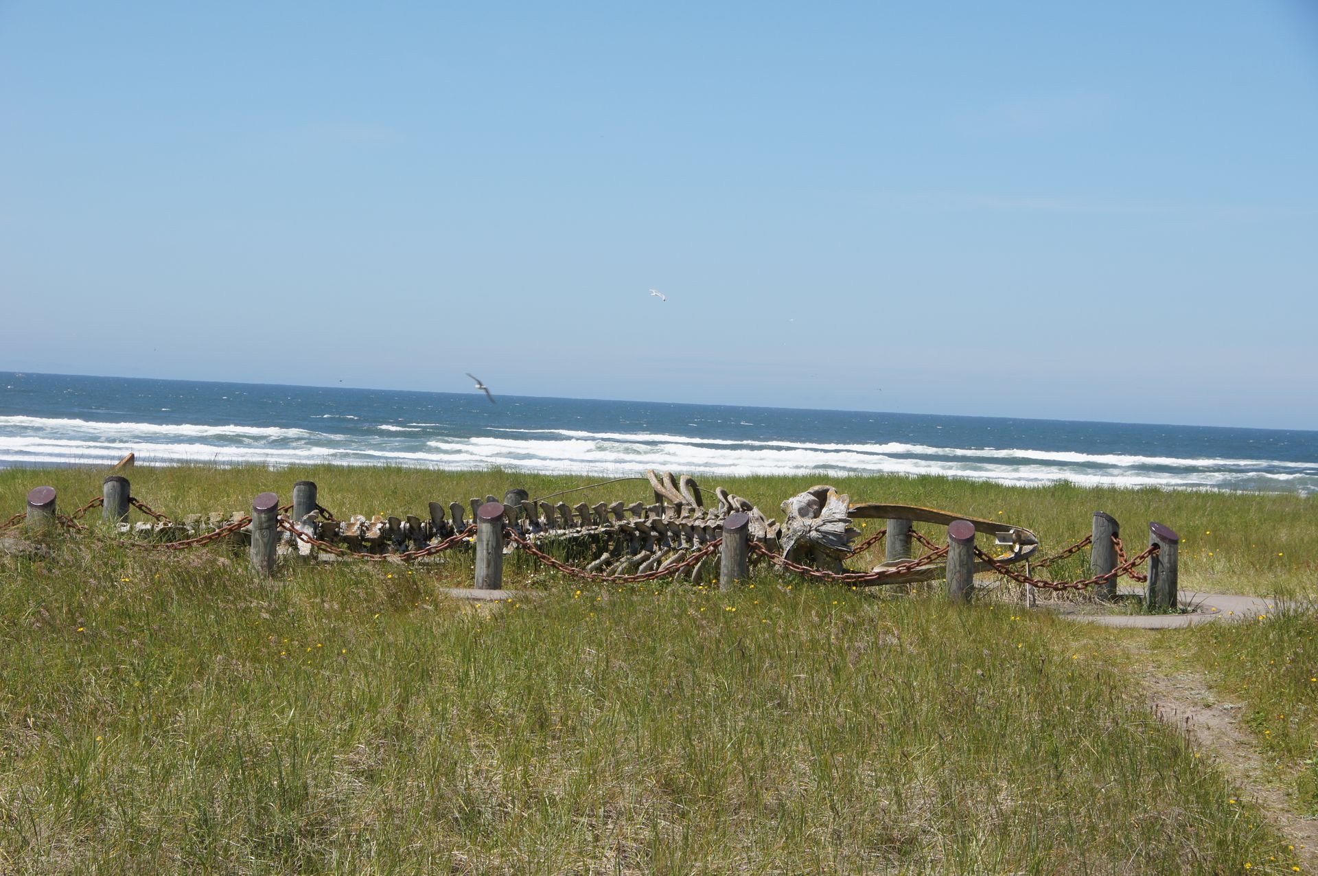
By noon, we are in Long Beach and walk across the firm sand to the tide line - always wearing a fleece jacket and hood. The sun is shining, but the cold west wind doesn't mind. There is an old gray whale skeleton in the beachgrass that we look at and then we need something warm. We didn't have breakfast today, so we're hungry too.


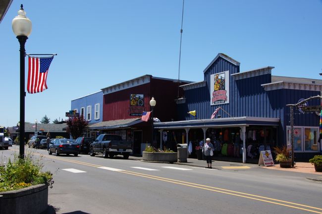
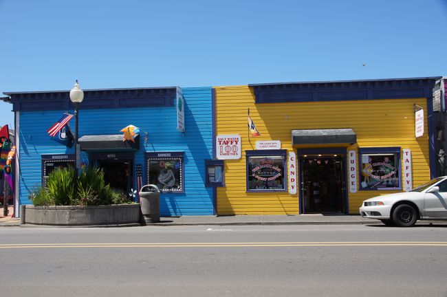
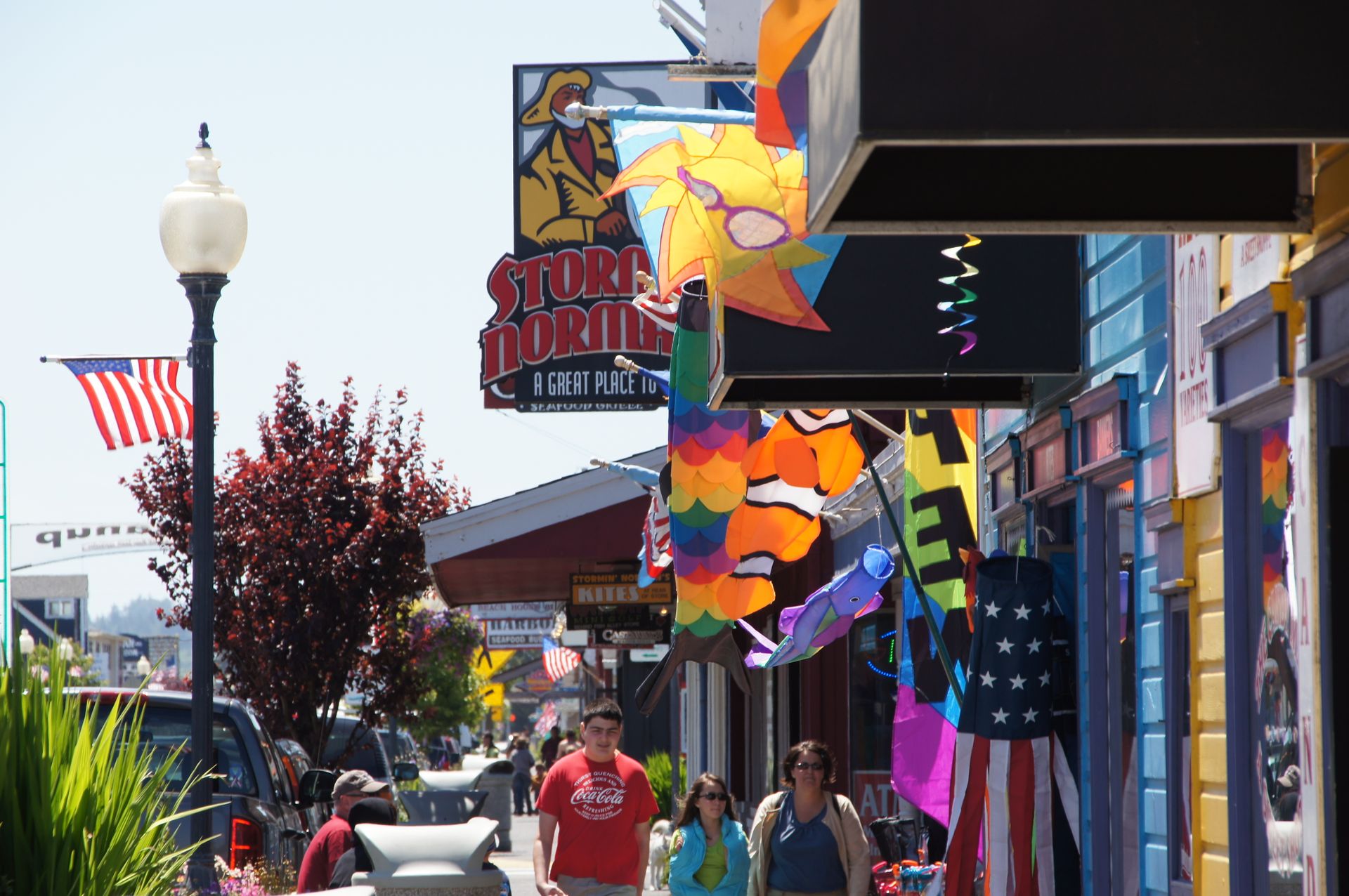
On the main street of Long Beach, we find a burger place that makes fresh fish burgers and we settle in there protected from the wind (but not in the sun, but it doesn't matter where - you always need a jacket here). My halibut burger is really delicious.
Since the sun is still shining bravely, we decide to continue driving quickly and head for Mount St. Helens.
We cross the Columbia River on a gigantic bridge to head further south and today we reach Oregon.
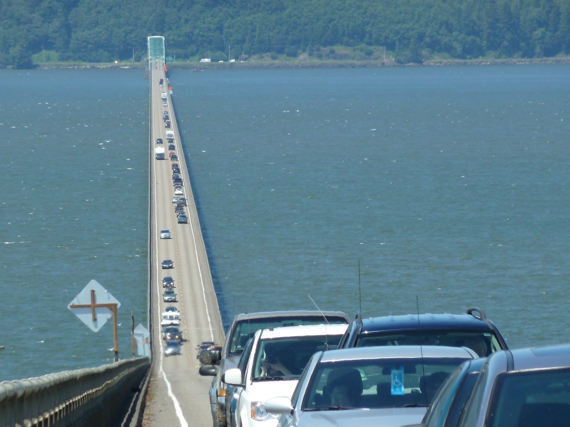
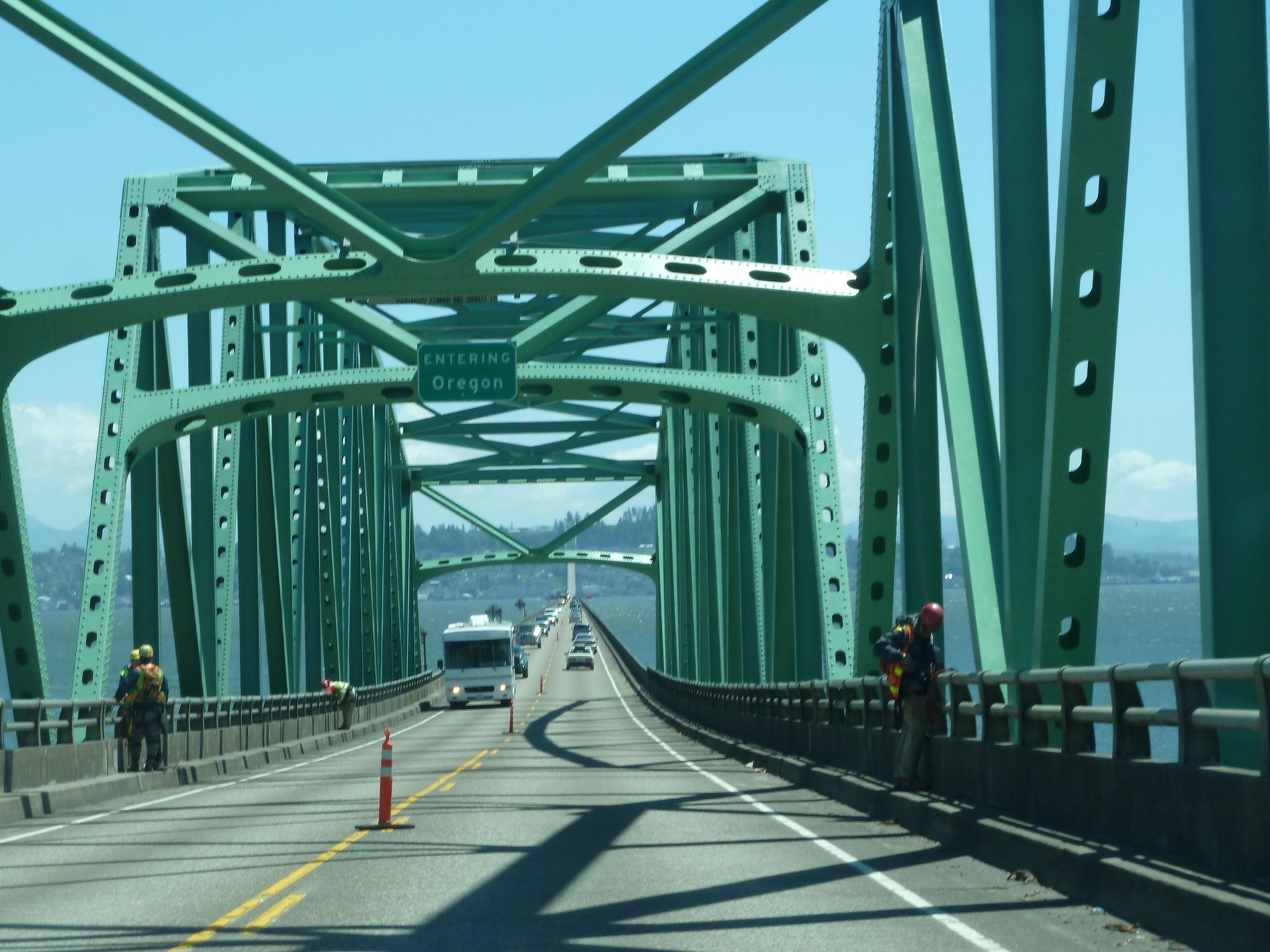
By 3:30 p.m., we are in Kelso (WAS), drop off our bags at the hotel we booked in advance, and get back in the car at 4:00 p.m. to head inland. The distance from the Visitor Center at the park entrance to the viewpoint at Mt. St. Helens is about 50 miles and we are told that the visitor center at Johnston Ridge Observatory closes at 6:00 p.m. But we would need about 1 hour and 15 minutes.
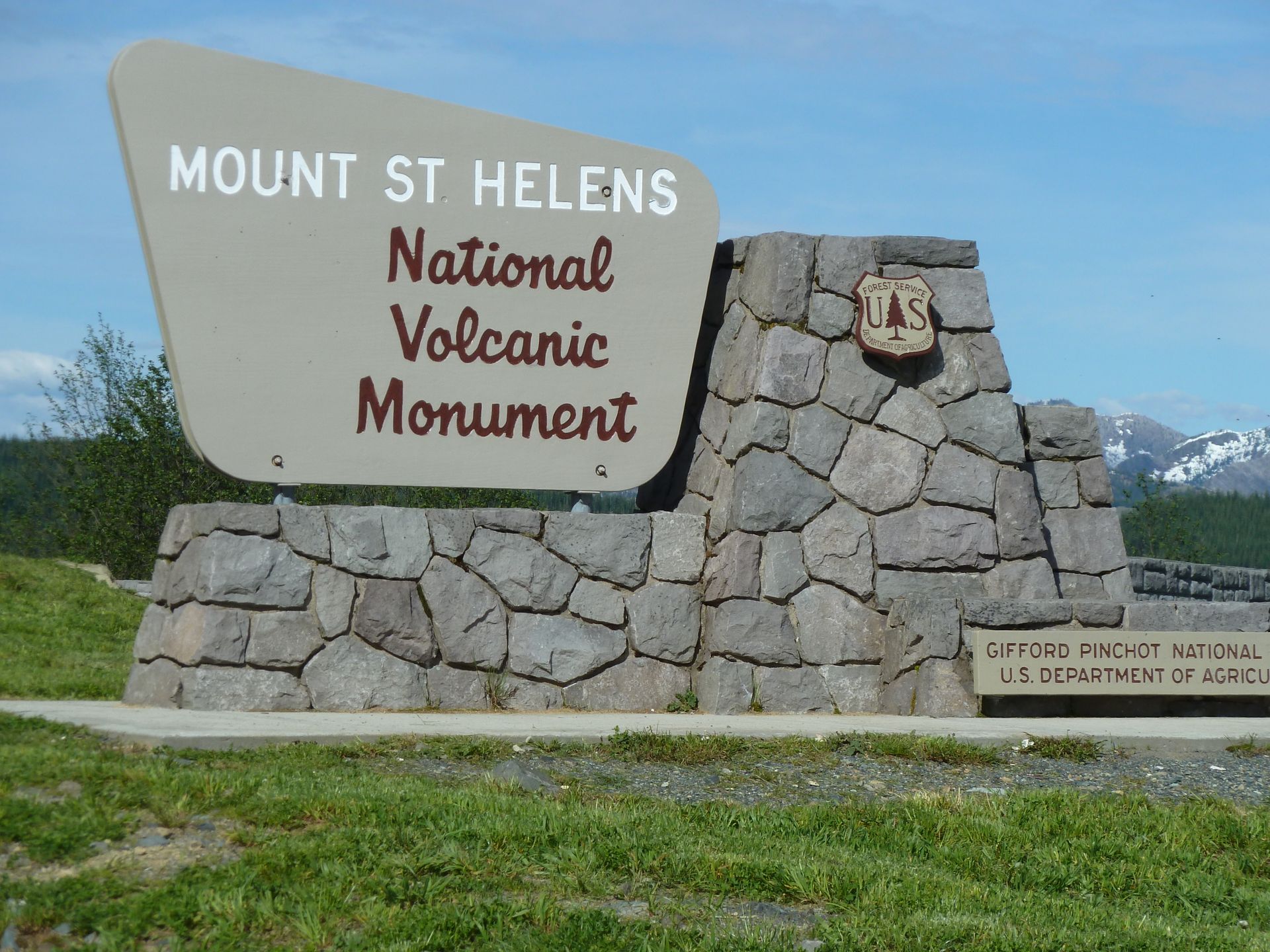
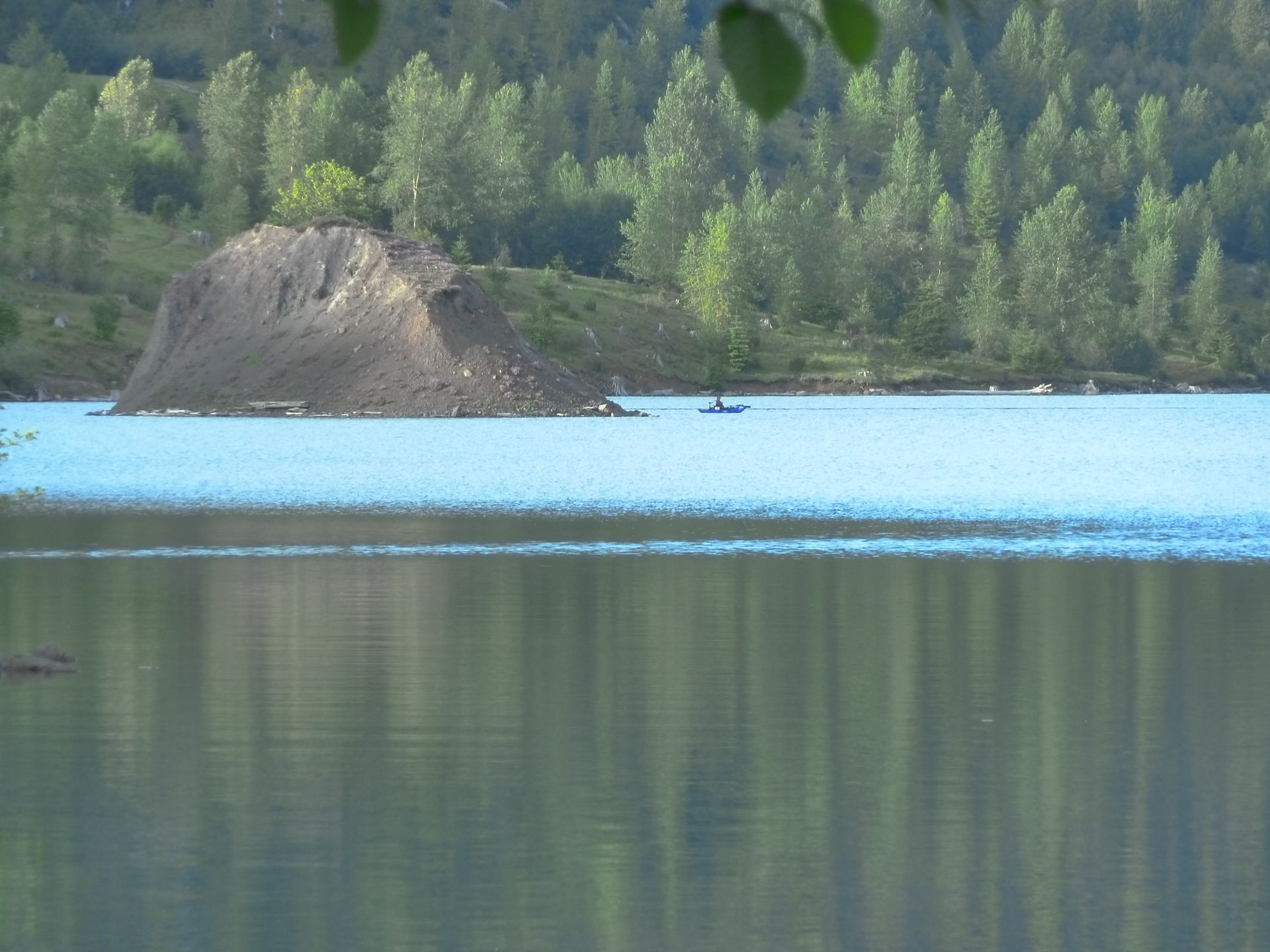
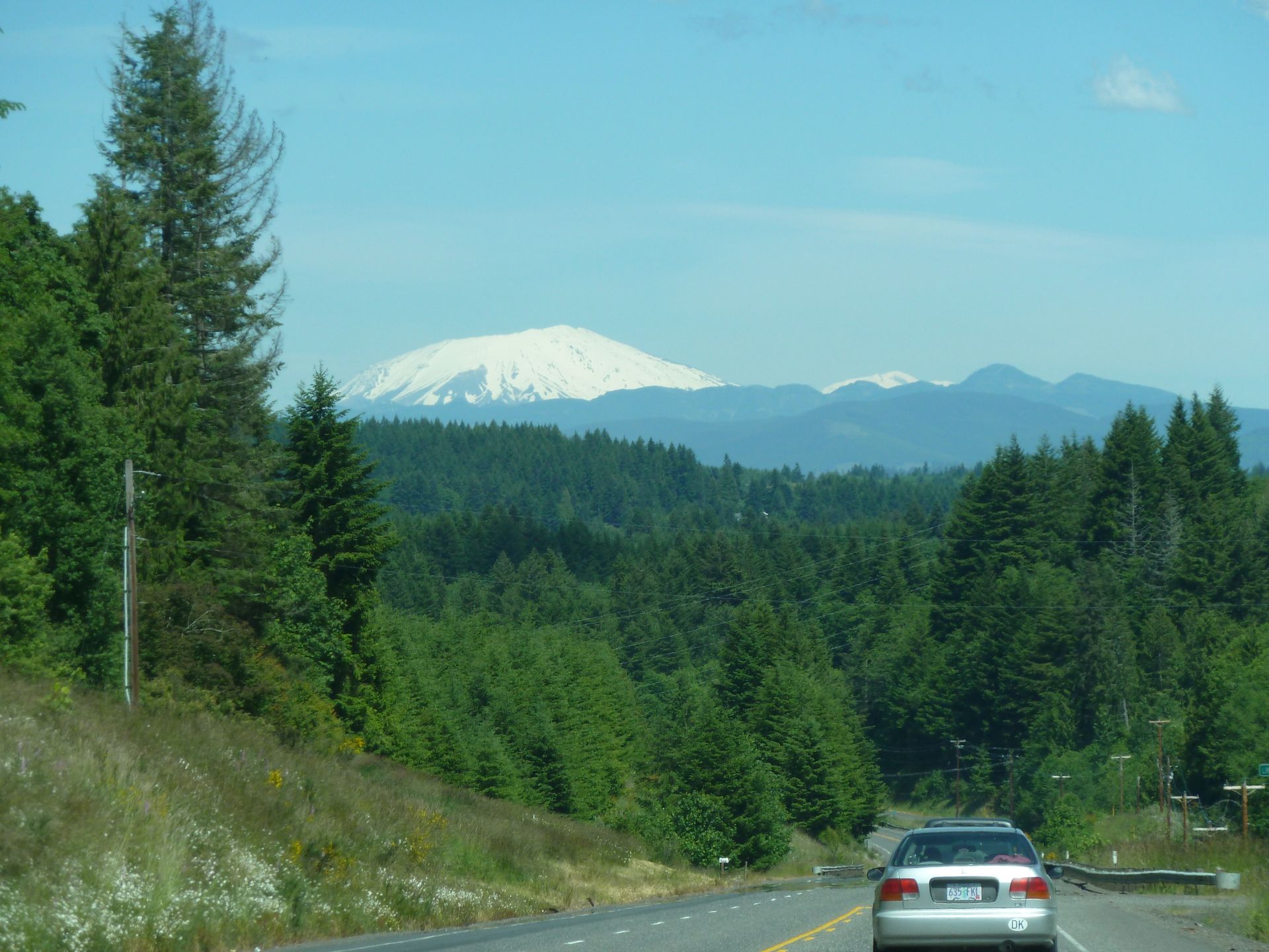
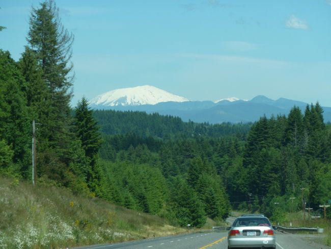
I step on the gas and we rush through the mountainous landscape and through forests with gigantic views of snow-covered peaks at an altitude of around 1,800 meters. We arrive at the Johnston Observatory shortly before 5:30 p.m. and at 5:40 p.m. we can still watch the last info movie.

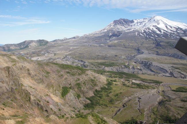
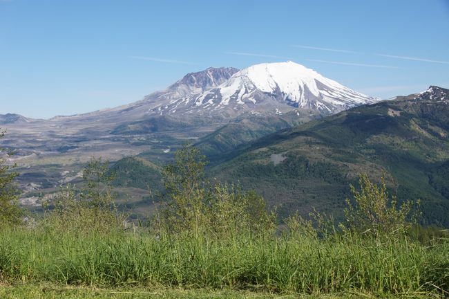
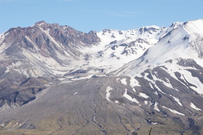
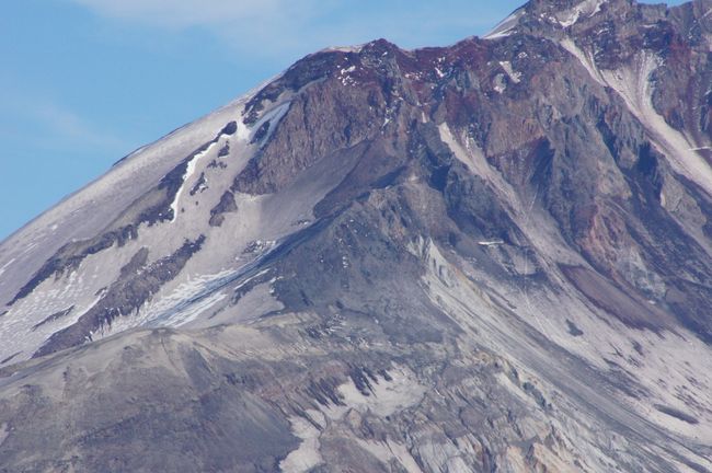
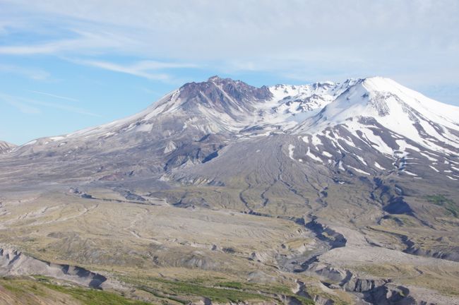
The last eruption of Mount St. Helens was on May 18th, 1980 and affected the entire region. It blocked the Columbia River with rocks and set fire to forests 30 kilometers away. The mountain lost 415 meters of height due to the blown-off summit and is now characterized by a 500-meter-long gaping crater. The eruption, considered a rather small one by experts' standards, released the energy of 500 Hiroshima atomic bombs. The debris and mudflow rushed down the slope at speeds of 400 km/h and crashed into a lake, creating a 200-meter-high wave that splashed up the surrounding slopes and took down thousands more trees.

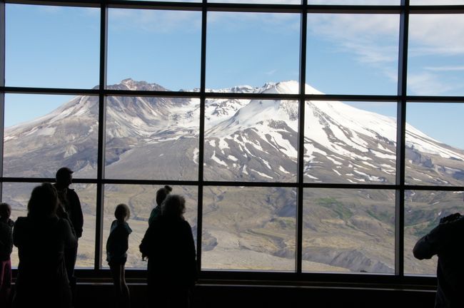
In the Johnston Observatory
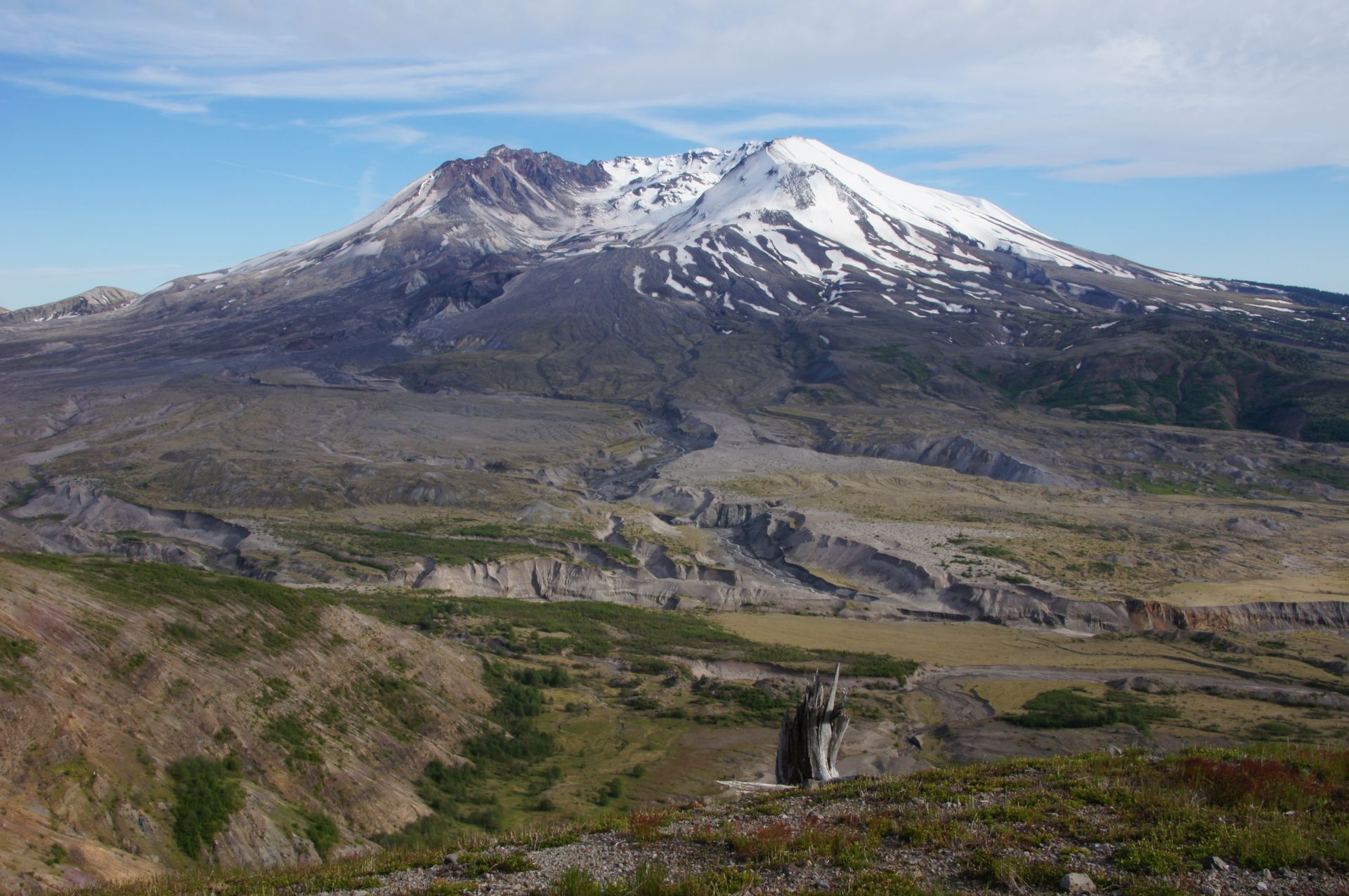

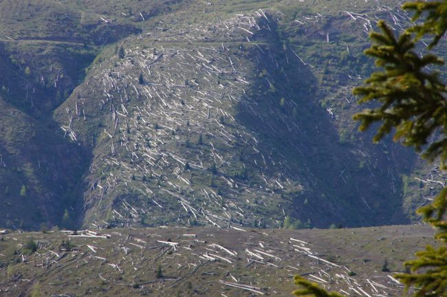
Around the observatory and on the more distant slopes, you can see fallen tree trunks everywhere, all aligned in one direction like matchsticks. You might think that forests have been deforested up to the horizon. But they are all tree victims of the volcanic eruption in 1980, practically all neatly laid down in one direction due to the flow direction of the lahar.
Since 1857, Mount St. Helens had been considered a dormant volcano, but it erupted again on May 18th, 1980 after a series of earthquakes starting on March 20th. The entire northern summit of the mountain slid downhill. The summit of Mount St. Helens was at an elevation of 2,950 meters before the eruption, but it is now about 400 meters lower. An area of about 500 square kilometers was affected in all possible ways. Due to ash, gas clouds, mud, water, rocks, etc. 57 people died, including the volcanologist David A. Johnston, who was measuring the gases of a fumarole at the time. Approximately 3 cubic kilometers of rock were moved during this eruption.
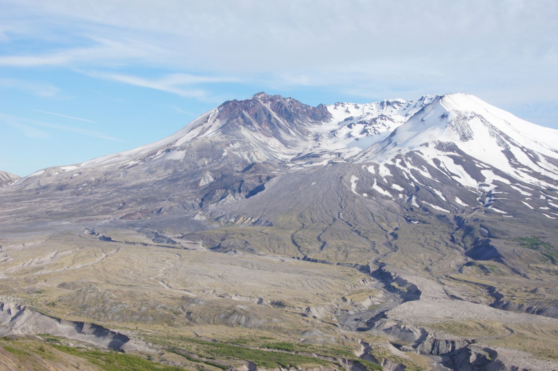
Volcanic ash and gas clouds were expelled up to an altitude of 18 km, beyond the troposphere and into the stratosphere. The ash eruption lasted nine hours and could be detected in the eastern United States three days later. Some of the ash entered the jet stream and circumnavigated the earth in two weeks. Even in Germany, people noticed it.

Pyroclastic flows reaching temperatures of over 640 degrees Celsius raced downhill at a speed of 400 km/h and destroyed the entire fauna and flora of the area. Two weeks after the eruption of the pyroclastic flows, temperatures of over 400 degrees Celsius still prevailed.
Equally dangerous was a lahar, which caused further devastation by mixing with the ice and snow of the upper mountain areas and racing down at a speed of 120 km/h. The usual (high) water levels were exceeded by 9 meters. Unbelievable!

It's a strange feeling to walk around here now. Not that you wouldn't feel safe, but this mountain already radiates a gigantic power that no one can contain. We take a short walk and then start heading back so we don't get too much into the twilight and get animals in front of the car, if any.

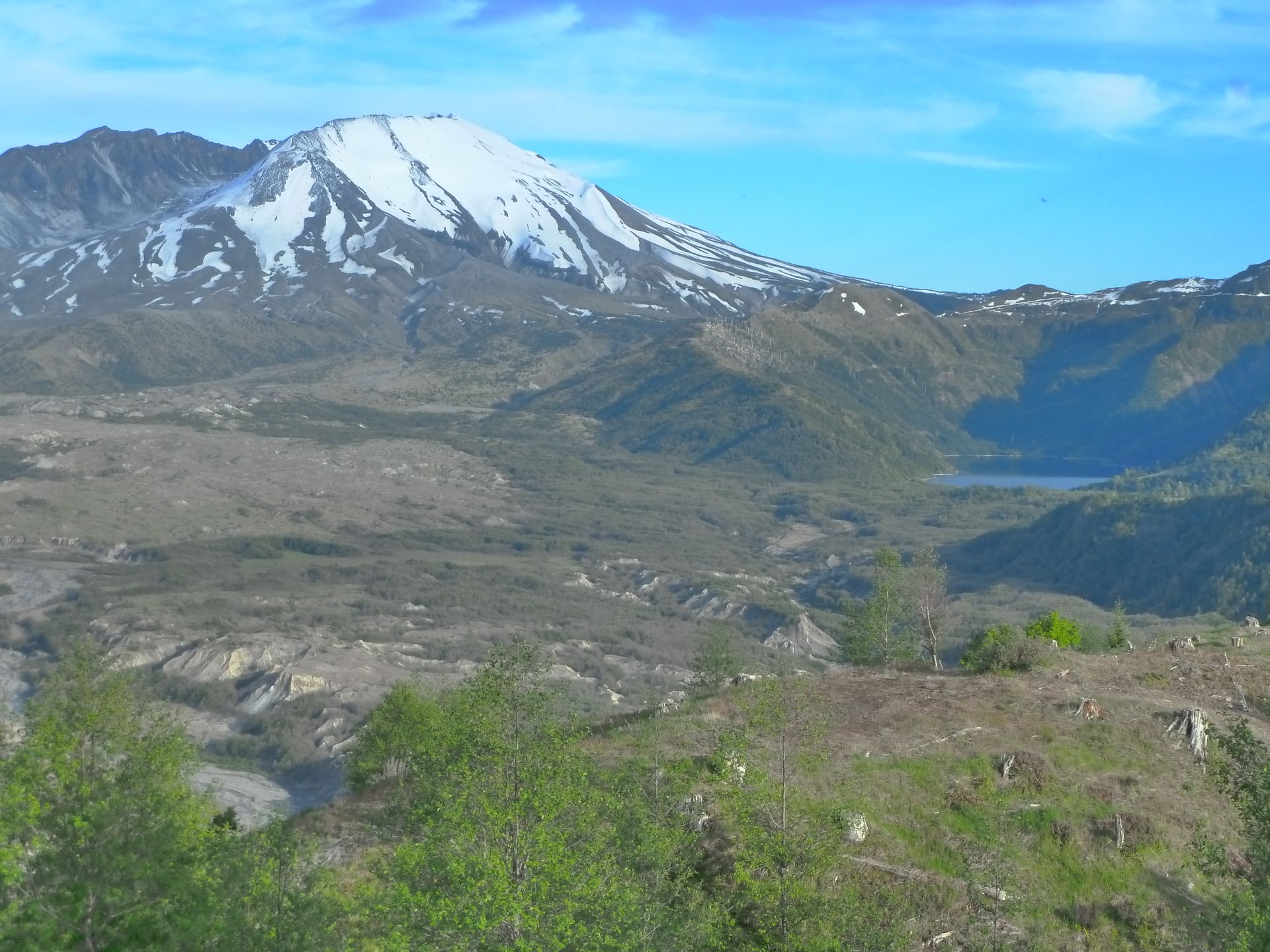
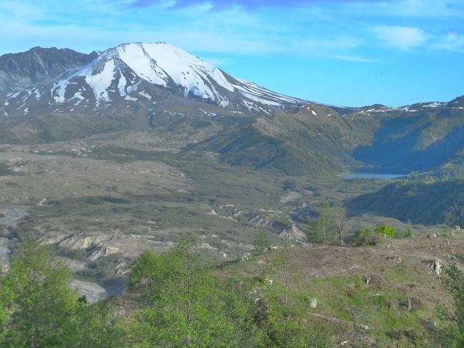
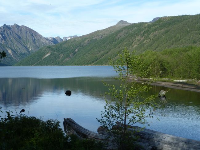
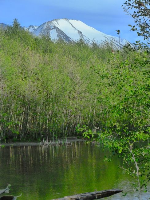
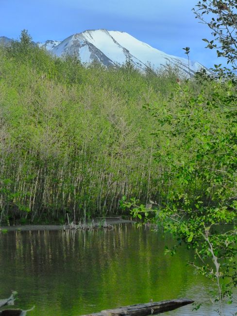
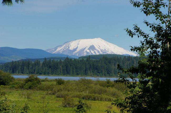
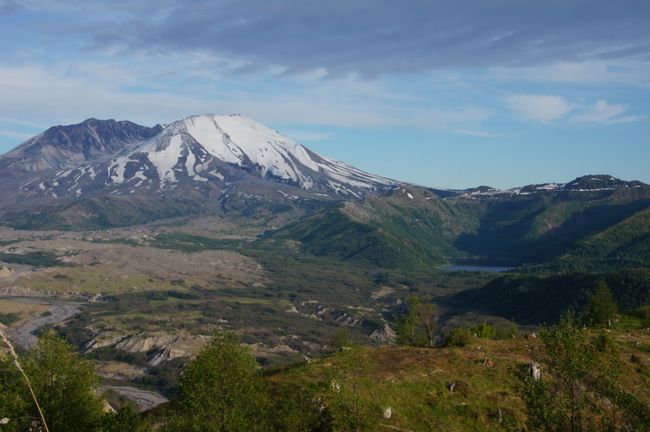
View from the viewpoint of Coldwater Lake (the lake is on the right)
We quickly stop for a photo at a viewpoint of Coldwater Lake. Mount St. Helens is cloudless, and that alone is extraordinary and we are happy to see it like this.
We arrive in Kelso (WAS) at 8:00 p.m. and quickly get something to eat at Safeway. We are at the hotel by 8:45 p.m., having driven about 320 miles. That was not planned for today. The side trip to Mount St. Helens alone was 120 miles, which would have been on the agenda for tomorrow. So we have a little more time tomorrow and will arrive in Portland earlier - who knows what the weather would have been like tomorrow. Perfect day!
Pretplatite se na Newsletter
Odgovor
Izvješća o putovanju SAD
