April weather in the Franconian Switzerland
प्रकाशित: 16.05.2021
May 2021
For a short trip, my friend and I set off for the Franconian Switzerland in mid-May, where we wanted to do some hiking.
The Franconian Switzerland is a tourist area in Bavaria and geologically belongs to the Franconian Alb, a low mountain range. The Franconian Switzerland is characterized by these mountains and the numerous castles that can be found there.
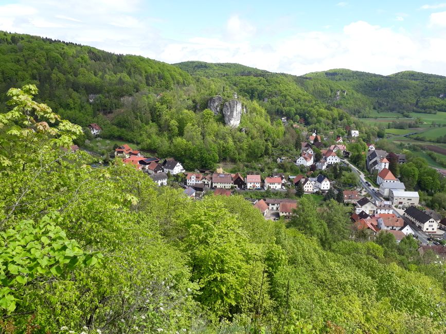
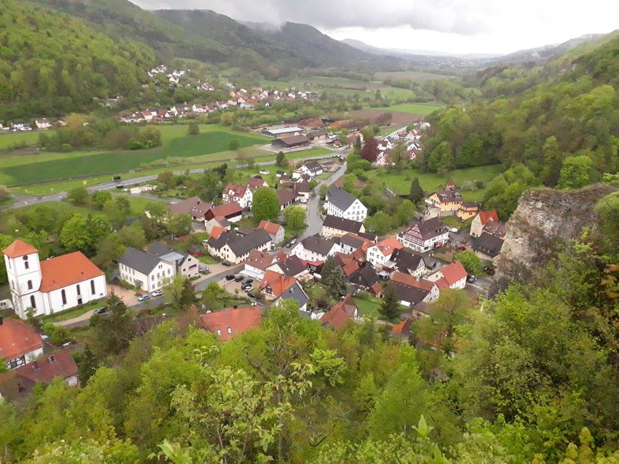
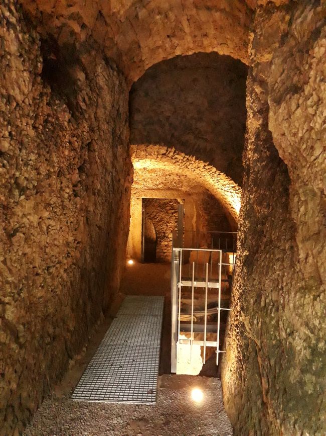
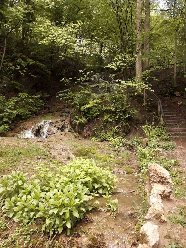
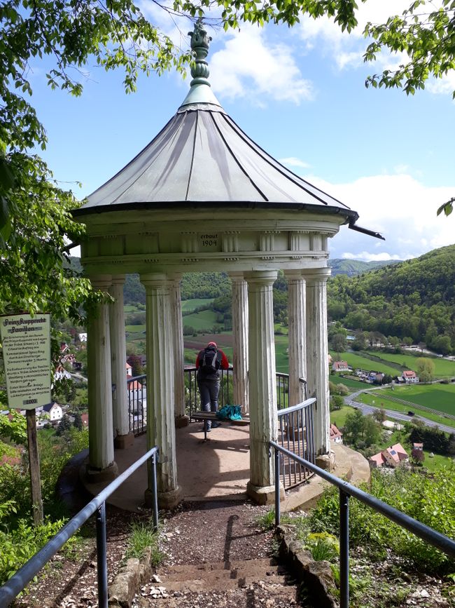
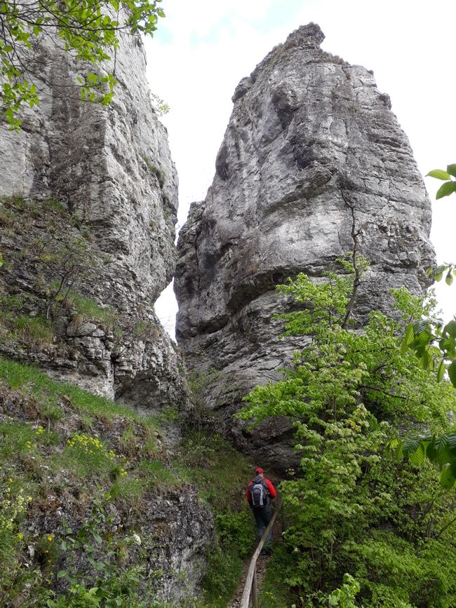
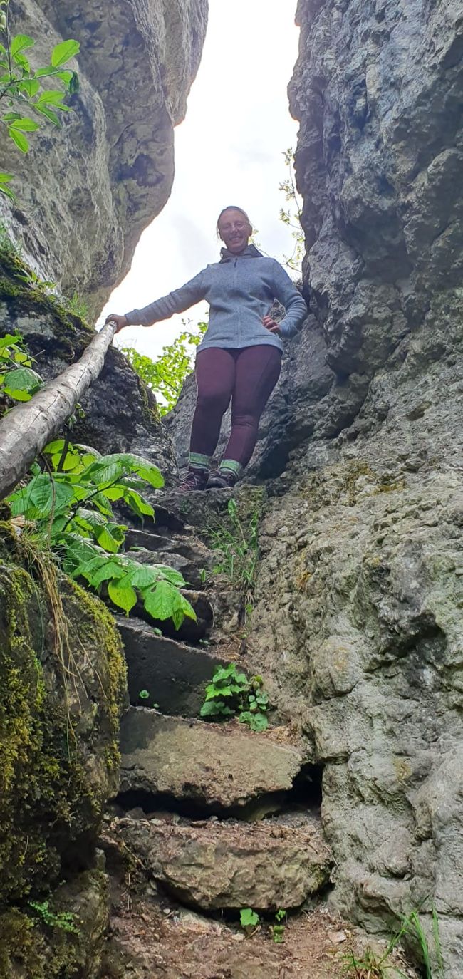
First, we started hiking in Streitberg. The weather was changeable, with light rain. We walked along a narrow path with many stairs, first through the village, then up to the ruins of Streitburg Castle. There is a lot of interesting information to read about the jurisdiction in the Middle Ages and a great view, which was unfortunately quite cloudy in our case. Because we did not follow a specific hiking trail, our path led us downhill again, passing large and impressive travertine terraces. In the short time, it had become very sunny. From the castle, we had seen a pavilion on another mountain, which we now headed to. The path was steep, narrow, and a bit slippery, but very varied with rocks and along the slope. The pavilion is very beautiful, and again we were rewarded with a great view. It was built in 1904 and refurbished almost 20 years ago. Still in the forest, the path finally led us to a rock gate. It is truly impressive! Sturdy footwear is urgently required to pass through the two closely spaced rocks.
Then the path went downhill again. Once at the bottom, we considered where we wanted to hike next when we saw dark clouds on the horizon. In no time, the clouds reached us and made the decision for us. We quickly walked back to the car on a flat path. It was a good decision because it started to drizzle, lightning and thunder could be heard, and before we knew it, it was pouring rain. Fortunately, we managed to escape the hail by seeking refuge in the car.
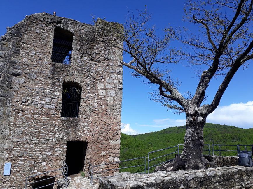
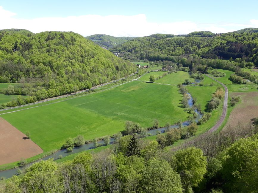
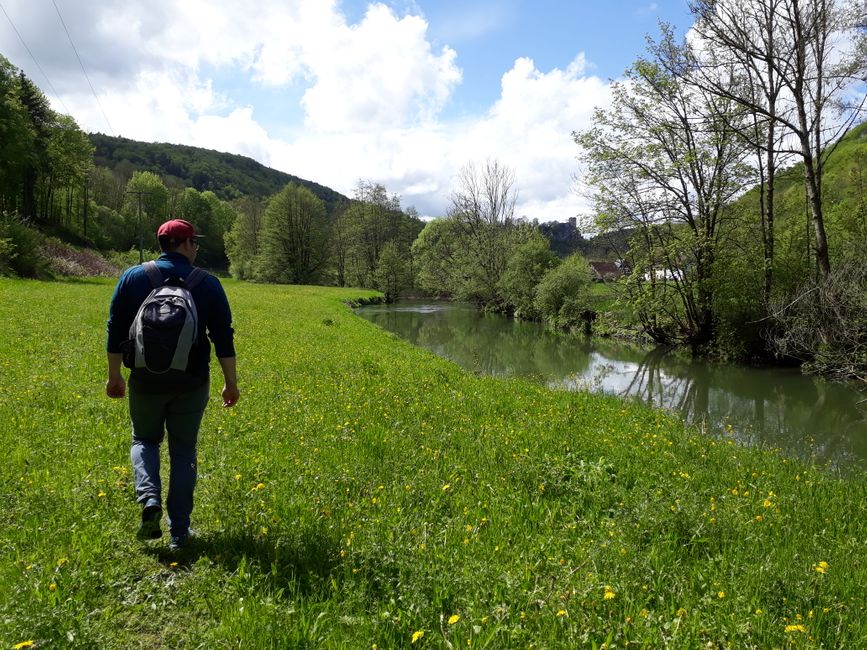
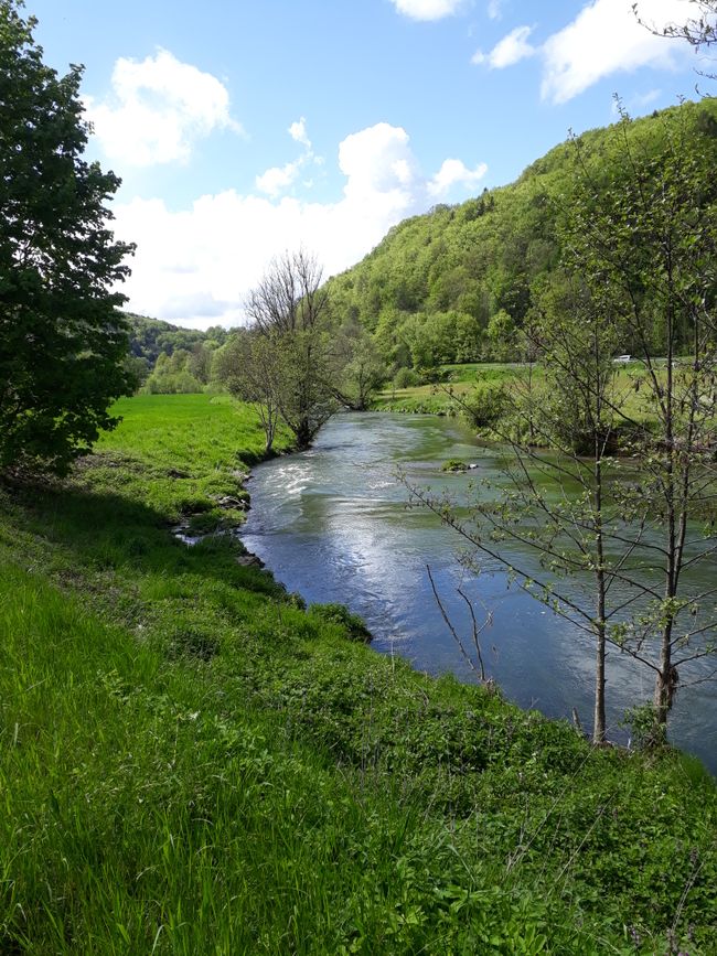
A second hiking round started again in Streitberg, where we first crossed to the other side of the Wiesent river in bright sunshine. There is a large parking lot for hikers, and it was really busy! We followed the hiking trail through the forest and steeply uphill to reach Neideck Castle. It is a larger area, and most of the castle is in ruins, but one tower was intact. From the top, we had an optimal view of the Wiesent Valley. We then followed it through the forest to Muggendorf. Unfortunately, we were not so familiar with the area here, and we simply followed any path that led back to Streitberg. Unfortunately, the path soon disappeared. Apparently, the situation was similar for many other hikers before us, as a narrow path led alongside the Wiesent river through the grass for about 1.5 km. I love things like this! Eventually, we came back to a paved road that led us back to Streitberg. The sky had become very dark again, but this time we were able to protect ourselves from the rain. That's how our little short trip ended.
उत्तर
यात्रा रिपोर्ट जर्मनी
