10.01.2018 Day 4 Vulkan Special
Hoʻopuka ʻia: 30.01.2018

















Kau inoa i ka Nupepa
Good afternoon, dear participants!
0130...The alarm goes off...I'm dying. It's the middle of the night and it's sweltering hot. We're heading out at 0200 for the sunrise tour to Mount Batur. I really wonder why I volunteered for this. I shouldn't have let the girls talk me into it. On the other hand, I would have to listen to them the whole time, why I didn't join and what I missed.
And so, ten of us, tired, hungry, and sweaty, start our journey towards Batur. There's no chance of sleeping in the bus with the road conditions and shocks. It's about a two-hour drive without traffic. We slowly bump and jolt our way up and down the mountains. Around 0430, we finally reach the foot of Batur. You can see (despite the darkness) that this is a hotspot for tourists. Lots of small buses and big cars adorn the parking lot. Groups of people are bustling around in the night, searching for a mountain guide.
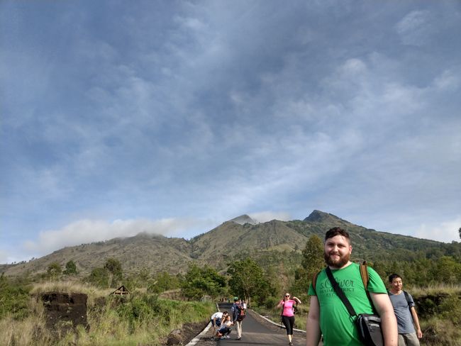
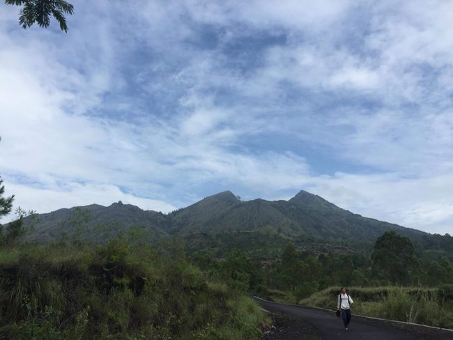
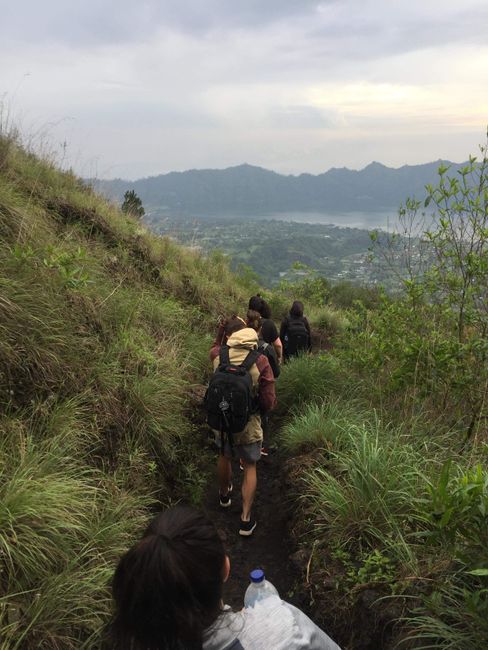
We had already organized everything in advance, so our guide duo doesn't keep us waiting long. We quickly receive flashlights and off we go. The beginning of the path is still easy. It's an asphalt road that gently curves towards the summit. After about 500m, we leave the road and enter a trail. It's still pitch black, humid at 26 degrees Celsius, and we pick up the pace. On the mountain in front of us, we see the lights of the other groups. It looks like light worms climbing up the mountain. After another 700m, the terrain starts to change dramatically. There are big rocks on the path and you have to watch where you step. In retrospect, I wonder why no one broke their legs.
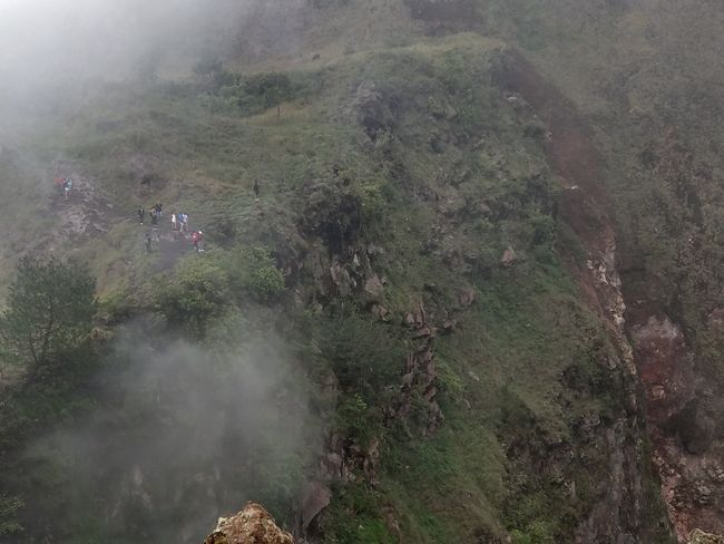
The path narrows and becomes steeper. Now we zigzag up the mountain. We've climbed about 2/3 of the volcano when I start to struggle for breath (greetings to 13 years of smoking). And so, I have to slow down a bit. As the sun slowly rises, we reach the mountain hut on the edge of the crater.
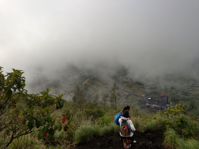
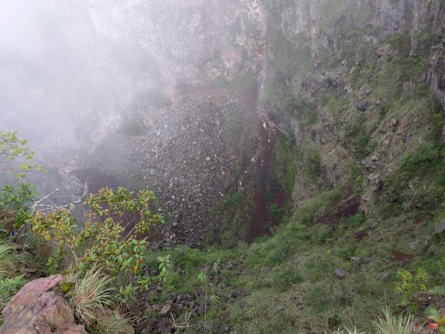
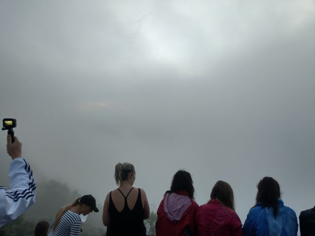
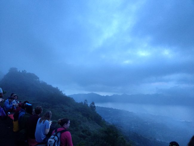
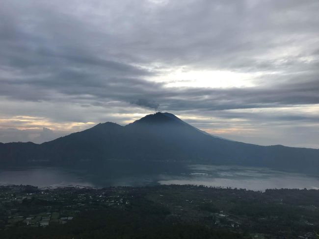
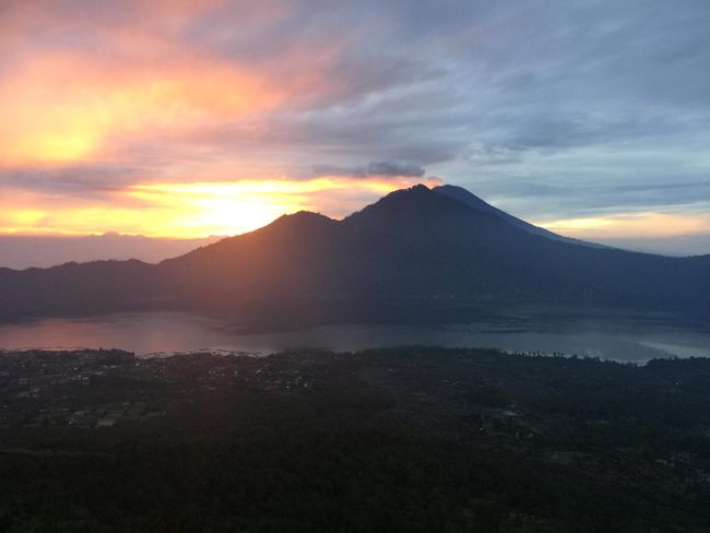
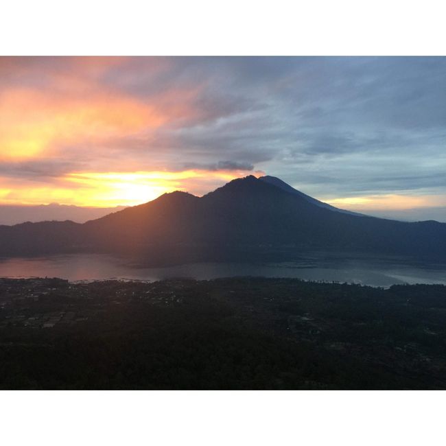
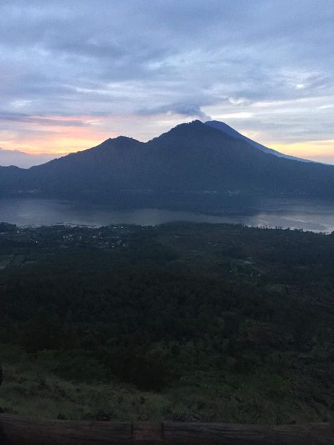
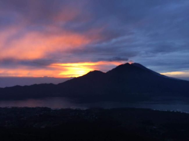
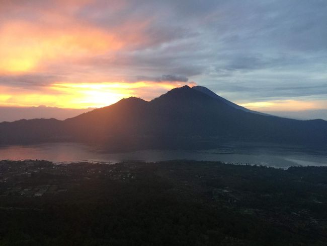
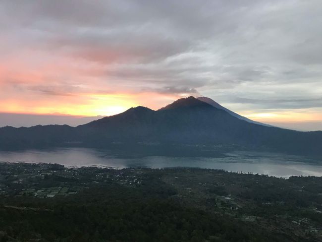
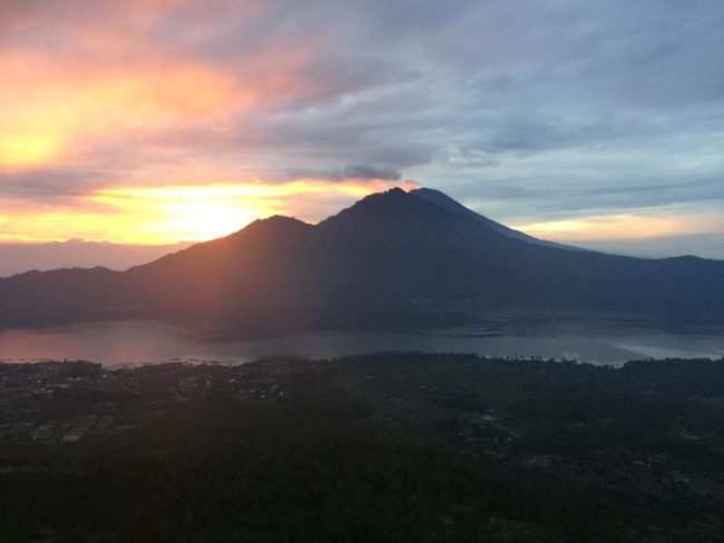
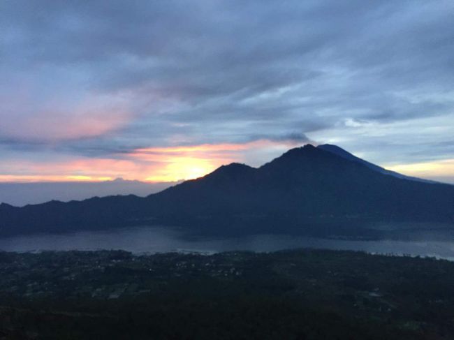
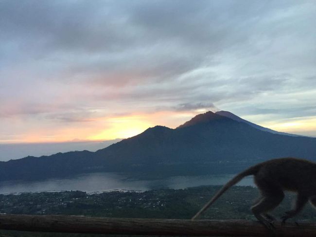
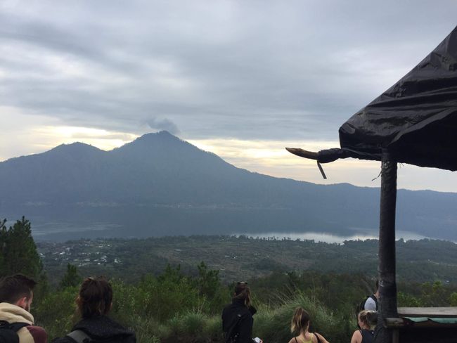
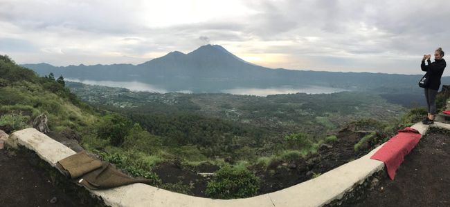
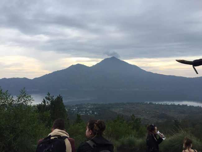
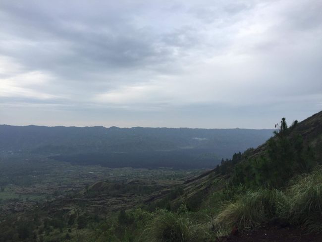
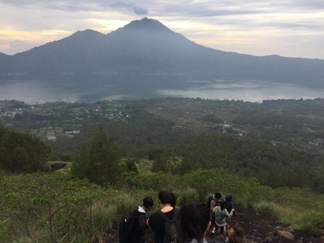
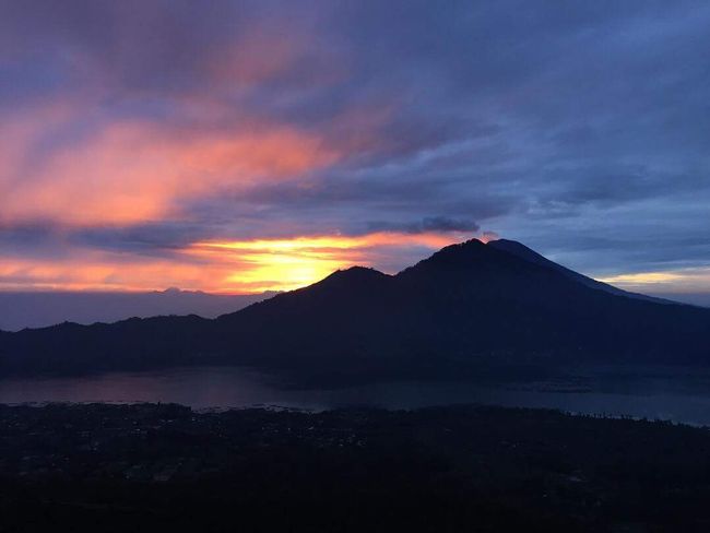
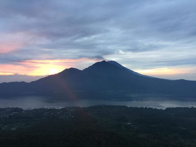
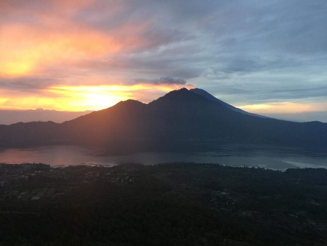
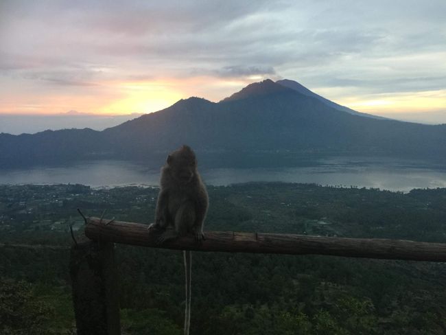
It's an incredibly beautiful sight. It's cloudy, but occasionally the clouds disperse and you can see a large part of Bali. The play of colors between the sun and the clouds is breathtaking. There are shades of red, orange, and yellow everywhere. That alone made the exhausting climb worth it. It's also a bit cooler up here. Fortunately, I packed a change of shirt and my army sweater. So I quickly change clothes. To warm myself up from the inside, I order a delicious noodle soup and a Balinese coffee from the guys at the hut. I have to say they know how to season their food.
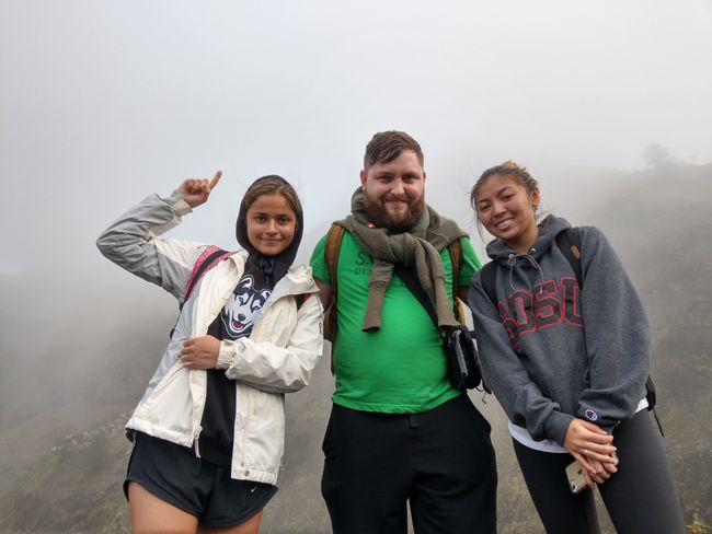
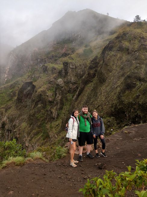
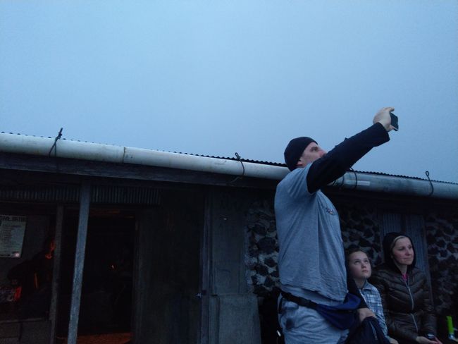
Strengthened and motivated, I explore the area with the two girls who stayed at the hut. The rest of the group continued to the peak of the volcano. I didn't really feel like going there anymore because from there you don't see much more than from the hut. Oh yes, the hut is located at an altitude of 1717m, as the photo in the attachment proves.
The young ladies who stay with me are Tiffany and Julia, the two Americans who came along. So we explore the area together and take lots of pictures.
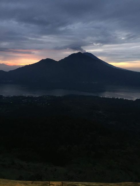
Batur is an active volcano. It's connected to a network of underground tunnels that run through Bali. Agung is the big brother of Batur, which is also currently smoking heavily. Agung's last eruption was in 1963 and cost many lives on the island. A month later, Batur also erupted, causing more deaths. So it can be assumed that if Agung fully awakens, Batur will also erupt a month later. Currently, Agung is only smoking and I hope it stays that way until I leave. The columns of smoke alone are awe-inspiring from a distance.
The volcanic activity is a curse and a blessing at the same time for Bali. It brings death but also life, because the ash and mineral-rich lava rock make the island so fertile. The curse of one generation is the blessing of the next.
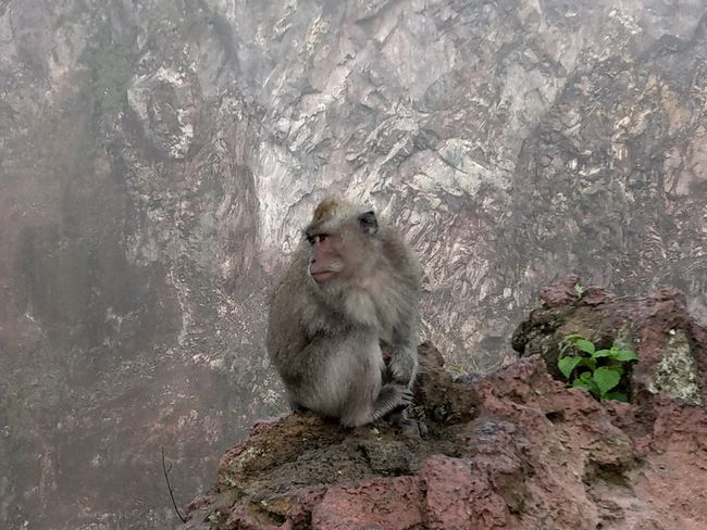
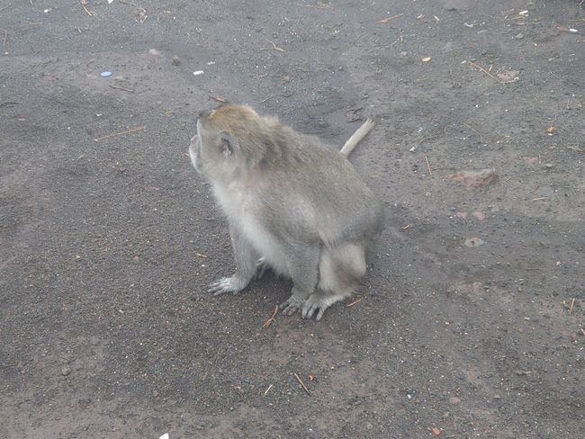
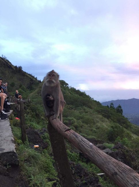
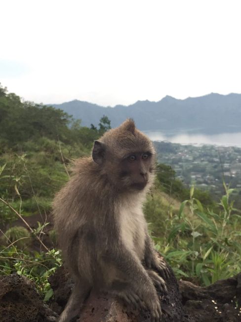
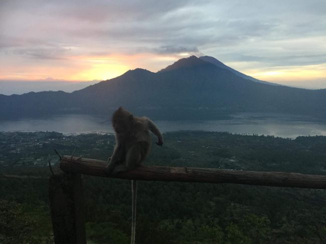
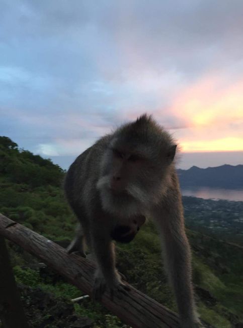
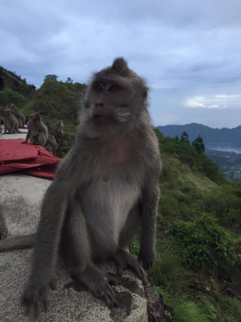
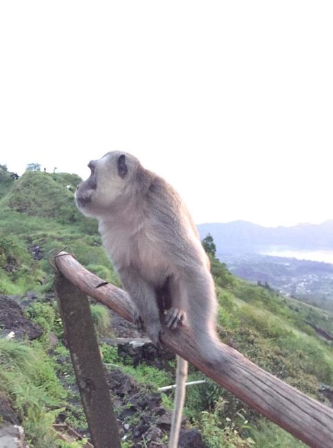
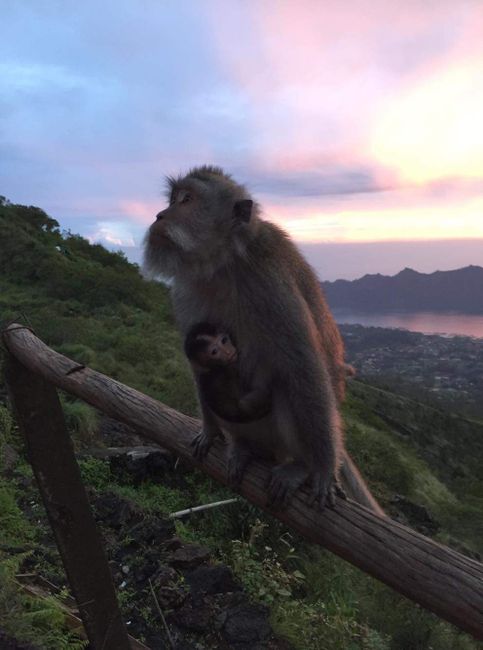
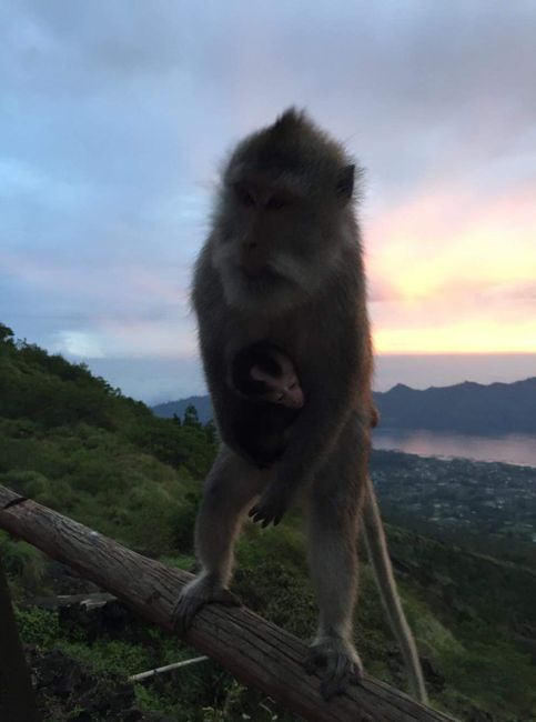
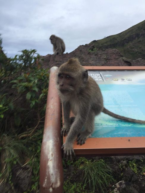
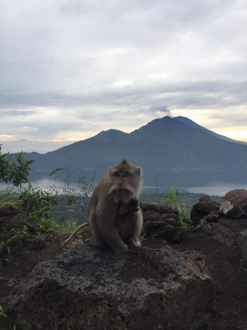
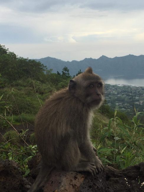
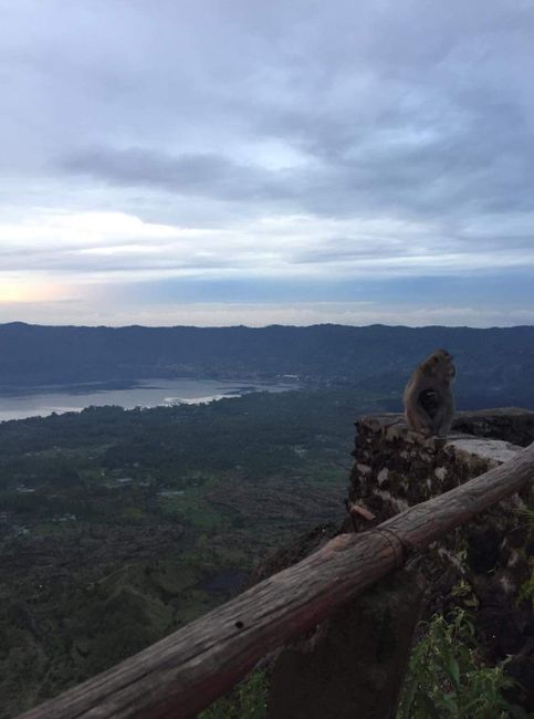
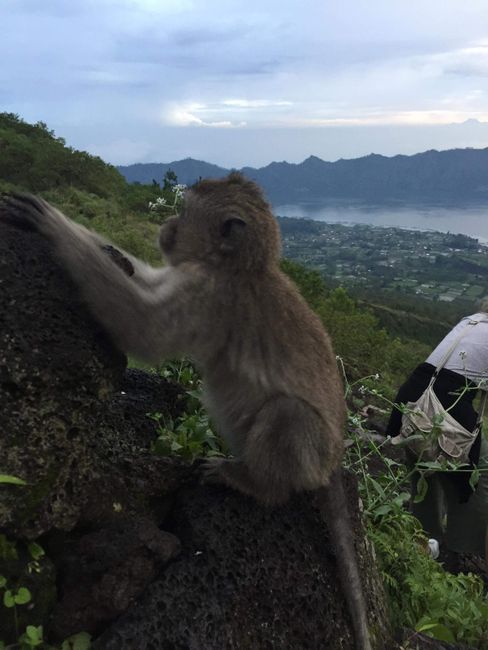
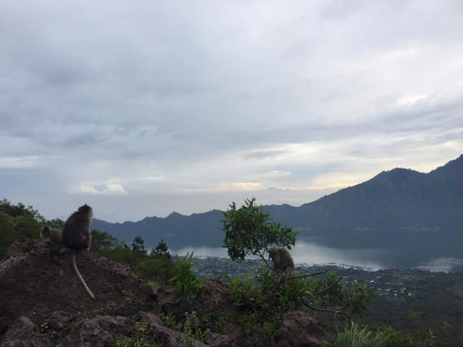
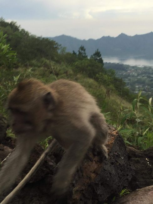
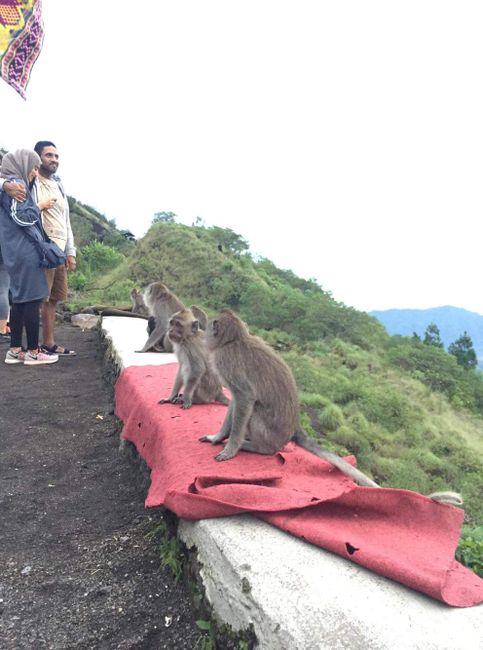
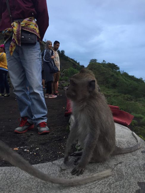
Up here on the mountain, there is a large group of monkeys that have settled here. They used to live at the foot of the mountain, but since tourists started climbing the volcano, they now live at the top. The monkeys are really cheeky. They open bags or jump on people to get food. A niche created by humans. We spend a few hours up there. After we've had our fill of the landscape, we make our way back. We take a different route down, which seems even more dangerous to me in retrospect than the ascent route. But maybe I just saw more of the path on the descent. =D The last third of the way is paved again. Here, we see all kinds of fields along the roadside. Chili, onions, or garlic dominate the cultivation. They seem to thrive well at this altitude
Exhausted, we reach our starting point. The total distance covered was 3.5km with an elevation of about 1.5km each way (so 7km & 3km for those with dyscalculia). It was very exhausting, but the view was worth it. I can only recommend it to anyone visiting Bali.
So, that's it for the special. See you again on Sunday. Selamat Tinggal!
Kau inoa i ka Nupepa
Pane (2)
De Buitre
super bericht danke. weiter so andi der baliban...
gruß aus dem kalten passau
jürgenAndreas
der baliban versucht sein bestes ;) danke fürs lesen und das lob.
geht runter wie butter =D