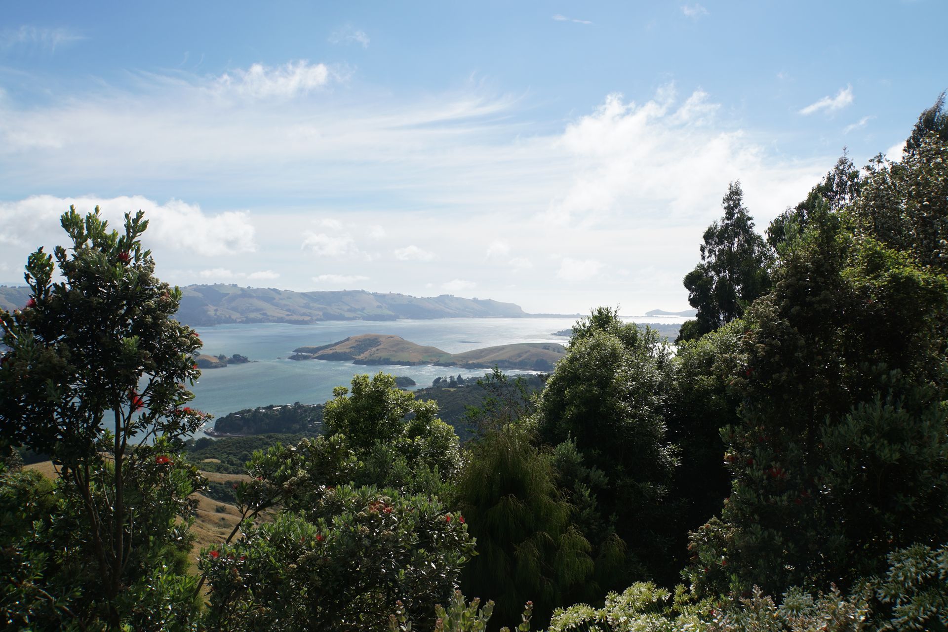
On the road on the Southern Scenic Route
Hoʻopuka ʻia: 31.03.2019


Kau inoa i ka Nupepa
While still in Te Anau, we decide to drive along the Southern Scenic Route in the next few days to spend our last days in New Zealand before we drop off Klaus-Gunther in Christchurch and take our flight to Vietnam with a stopover in Kuala Lumpur. The Southern Scenic Route leads in a U-shape from Queenstown through Te Anau and the Fjordland, past Bluff, from where you can take a ferry to Stewart Island, and Invercargill to Dunedin. In large parts, it follows the southern coastline and takes curious tourists to all the major attractions of the Pacific coast in the so-called Southland. It was introduced as New Zealand's first tourist route in 1986 and still remains very popular today without being crowded. In fact, we enjoyed the almost nonexistent traffic here on Highway 6 or SH95. Along the route, you can discover some nice small towns, beautiful beaches and lighthouses, as well as penguin and sea lion colonies. If you're very lucky, you might even be able to see whales. It's almost impossible to get lost, as brown signs and symbols guide even the most directionless drivers. That sounds very promising.
However, the first day of the route literally falls into the water. It's pouring down rain, and the wind blows the rain almost horizontally onto our windshield (maybe the guy from Trier with Laura is passing by; to calm you down: we weren't exposed to life-threatening hurricane-like gusts, as you might think; it was very heavy rain (note: Laura: very)). This makes it unnecessary to stop briefly for photos or even hikes. So we miss a short walk at Lake Hauroko, the deepest lake in New Zealand with a depth of 462m, as well as a short hike to Monkey Island, a tiny little island south of Orekupi that can only be reached at low tide and is said to have a very beautiful beach. Instead, we drive straight to Invercargill, where we have lunch, finally visit a hairdresser again, and spend the afternoon at the southernmost Starbucks in the world to update our blog. It should be mentioned that we could have discovered much more along the route than just the two hikes, but these two destinations appealed to us the most. It's a pity, but you can't choose the weather, and we have been lucky so far.
But by evening, the rain still hasn't stopped, and we're facing a wet and uncomfortable night when we arrive at the selected campsite. Not a single tent is set up on the lawn, which we already interpret as a bad omen. The friendly elderly man at the reception is also duly surprised that we seriously want to set up our tent for the night, and out of a good mood, he offers us a cabin for the same price as the campsite. The only condition is that we should sleep in our sleeping bags so that the bedding doesn't have to be washed. We're blissful! A real roof over our heads and even a small fan heater! And if we're honest, a thin sleeping mat is simply no comparison to a real bed.
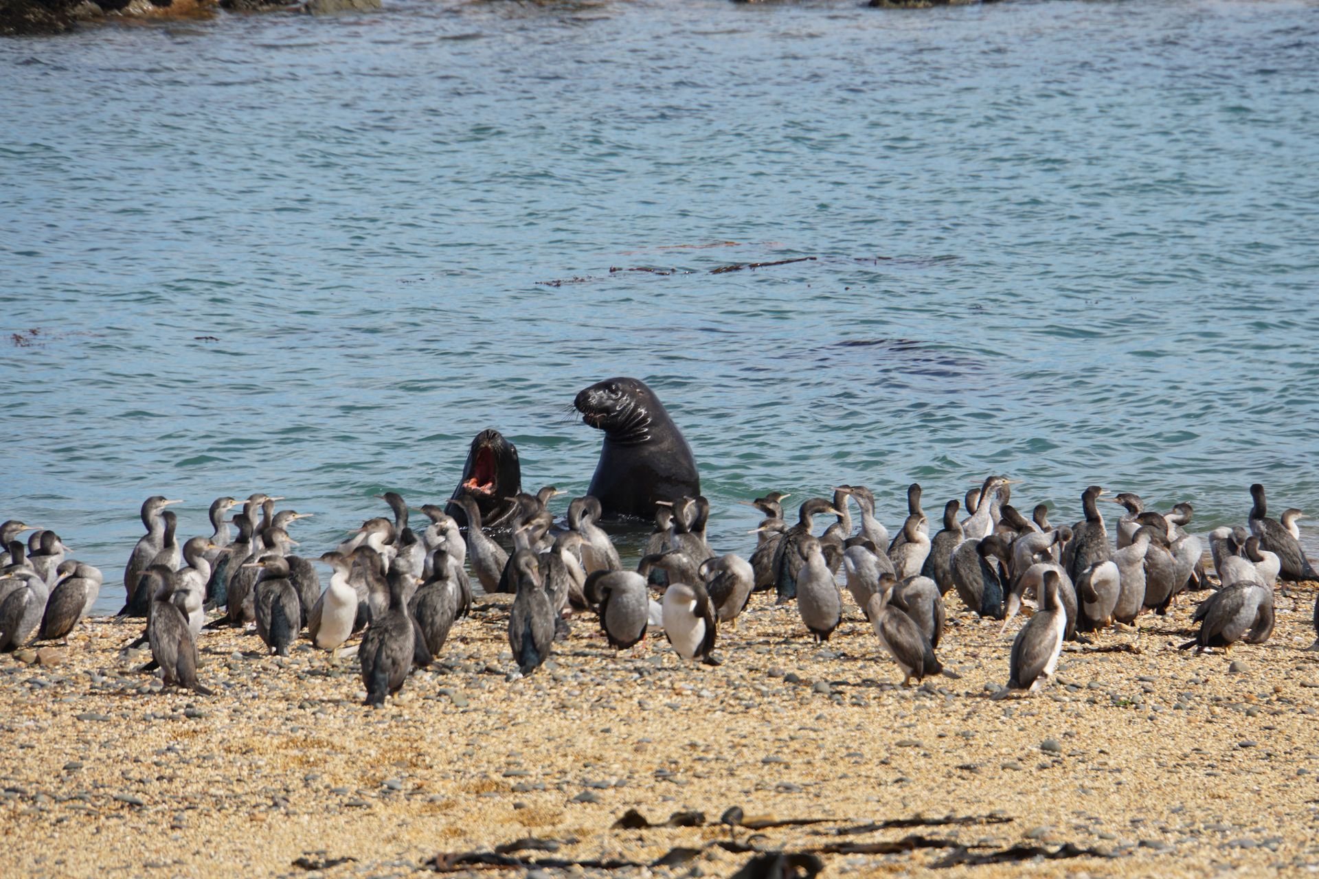
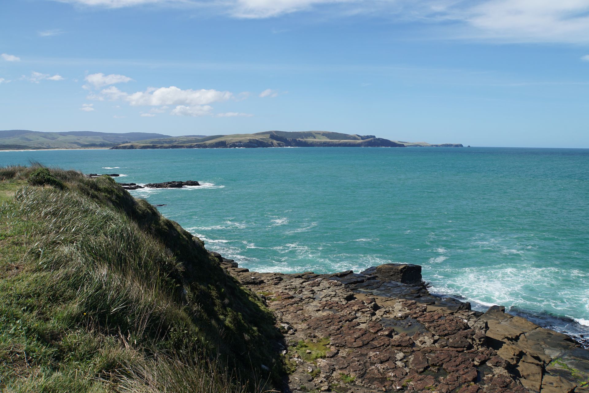
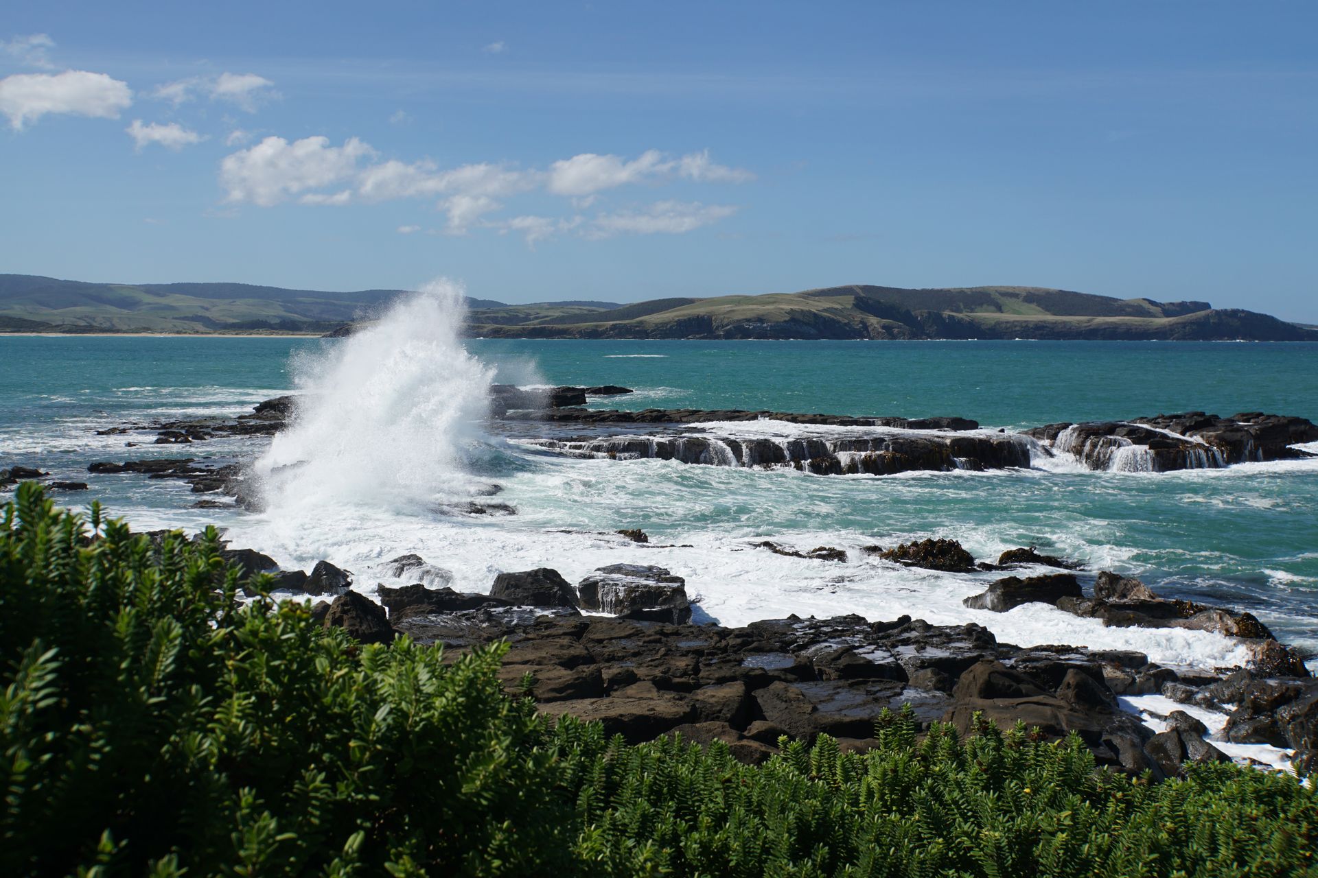
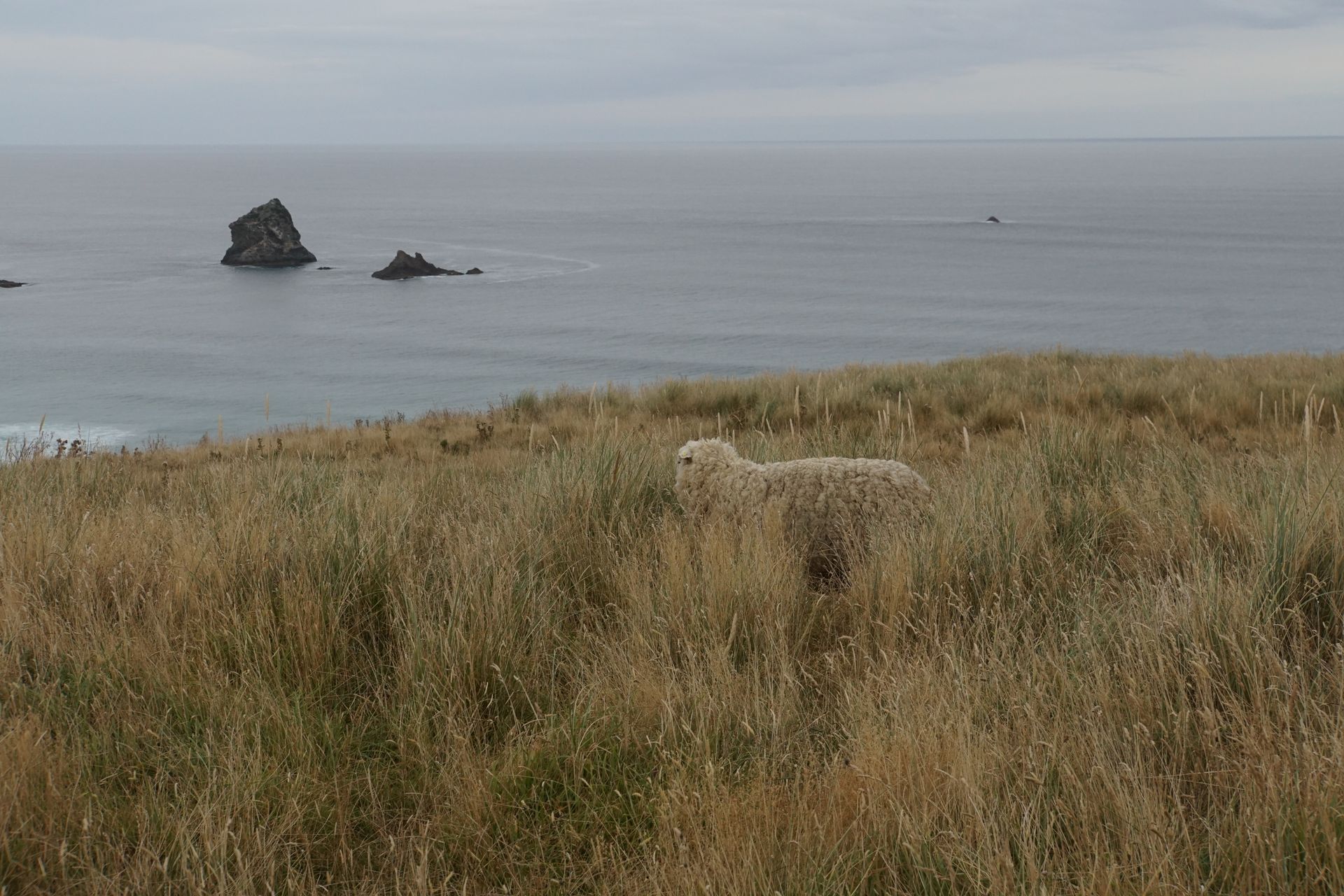
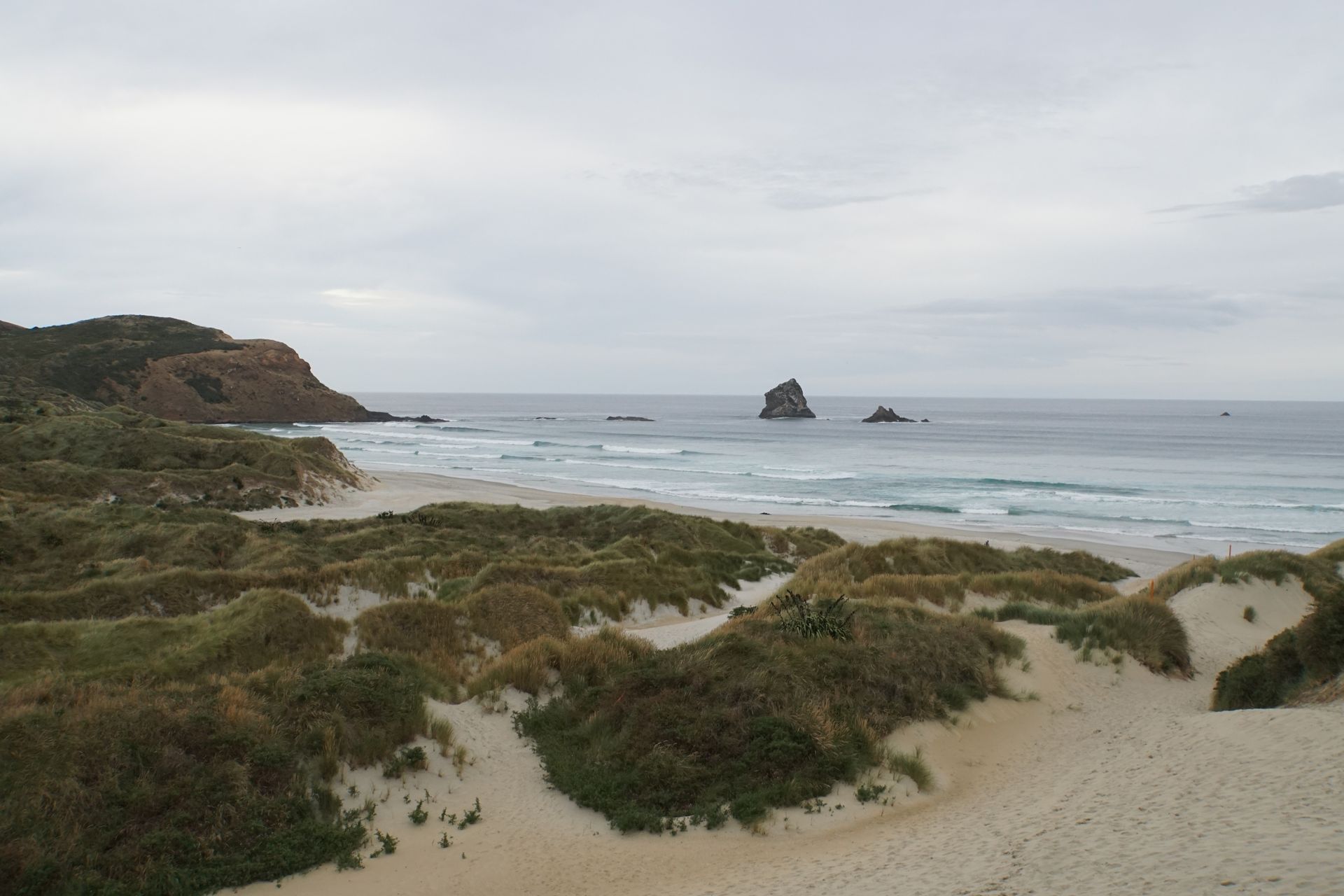
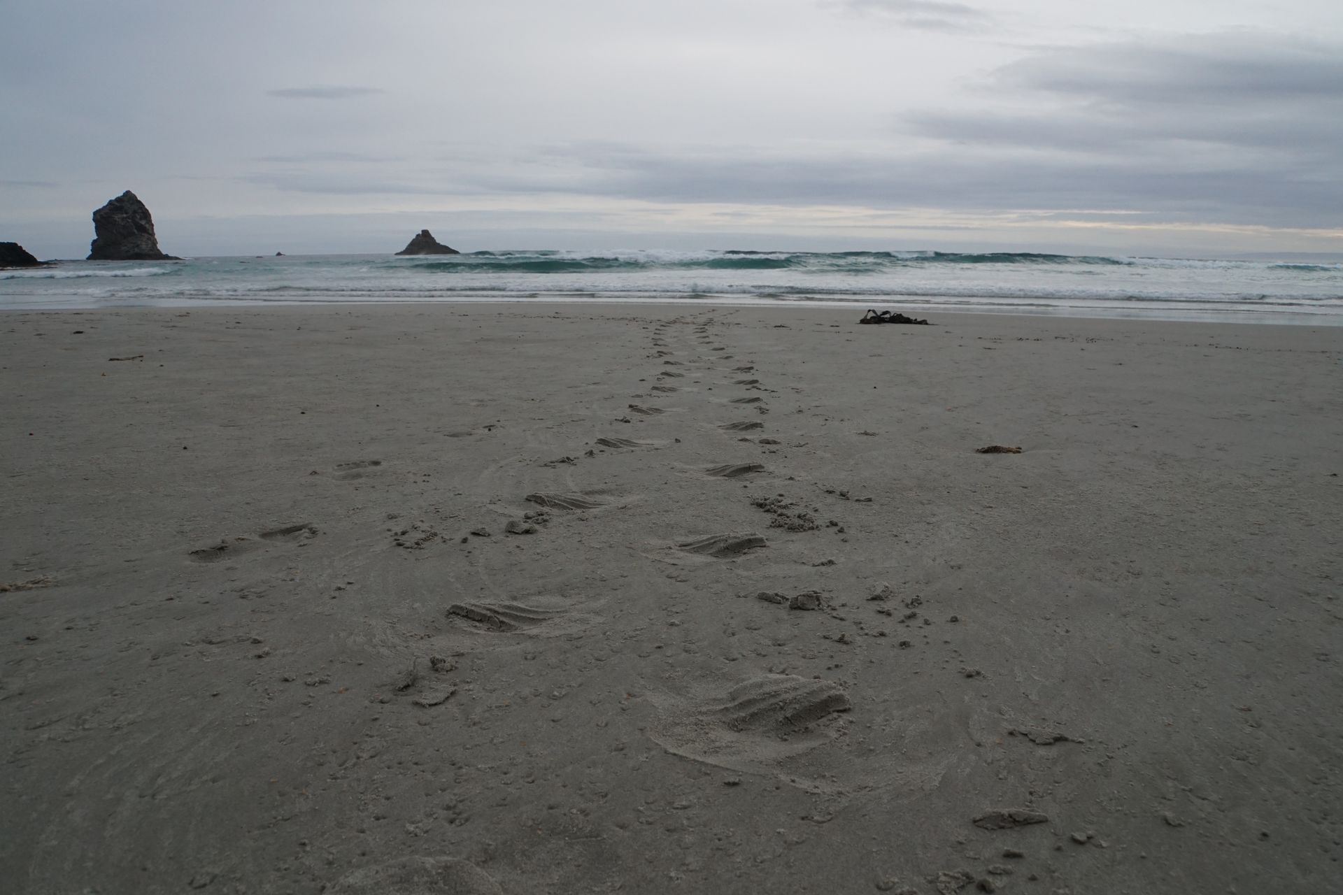
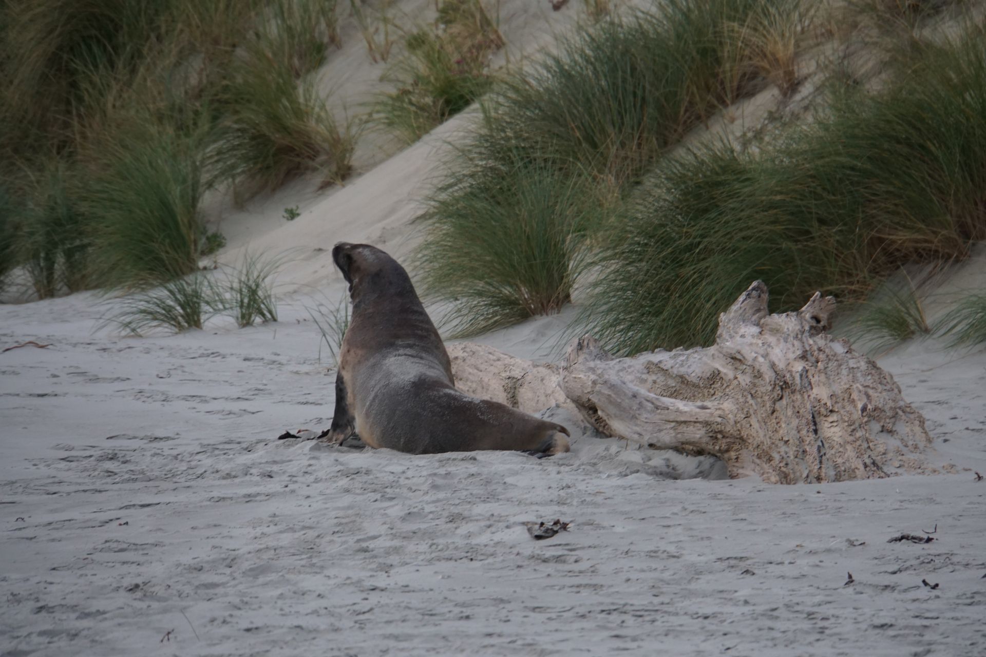
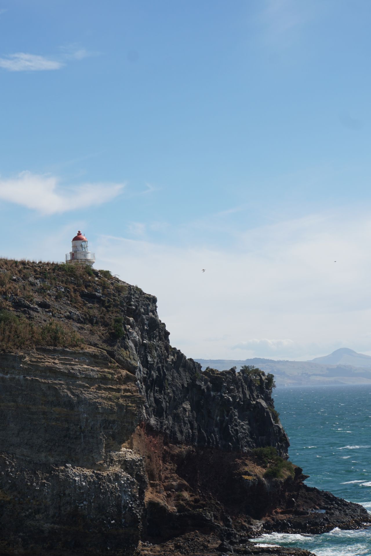
Warm, dry, and rested, we start the next day with the best weather for our second attempt on the Scenic Route. Our first stop is at Waipapa Point, where a beautiful white lighthouse stands. Here we watch the waves and spray of the Pacific, stroll along the brightly yellow beach, and observe two sea lions completely absorbed in their play in the shallow water on the beach. A third one watches the whole thing from a safe distance.
The lighthouse at Waipapa Point
The waves break close to the coast, and the spray splashes several meters high
The two don't even let the tourists bother them - and the cormorants stay relaxed too
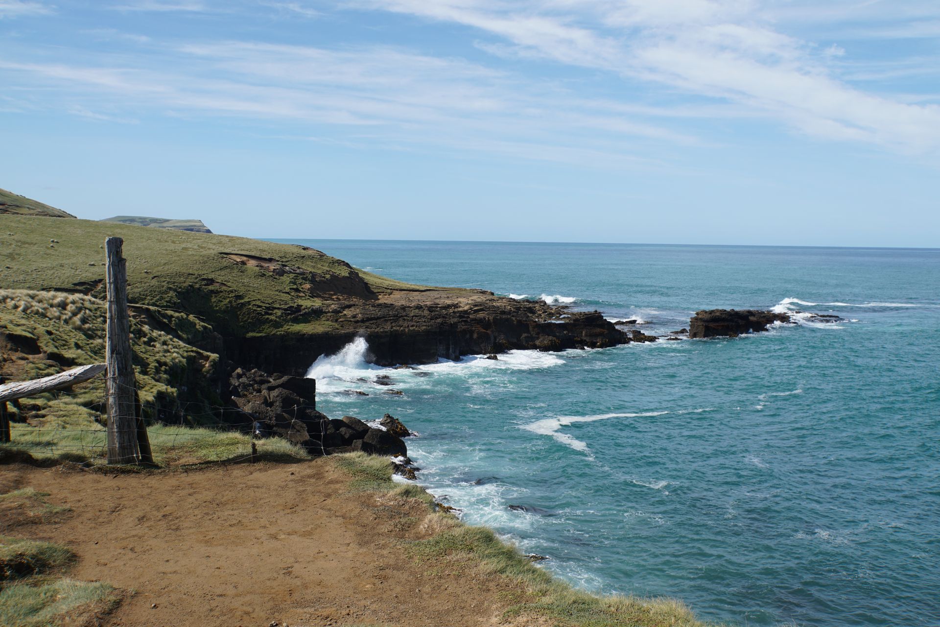
Next stop is Slope Point, the southernmost point of the South Island of New Zealand, which is basically the counterpart to Cape Reinga where we stood almost 6 weeks ago at the beginning of our New Zealand tour. Here we have a small picnic and let our gaze wander over the expanse of the ocean to the horizon.
We're now almost three-quarters of the Earth's circumference away from the North Pole
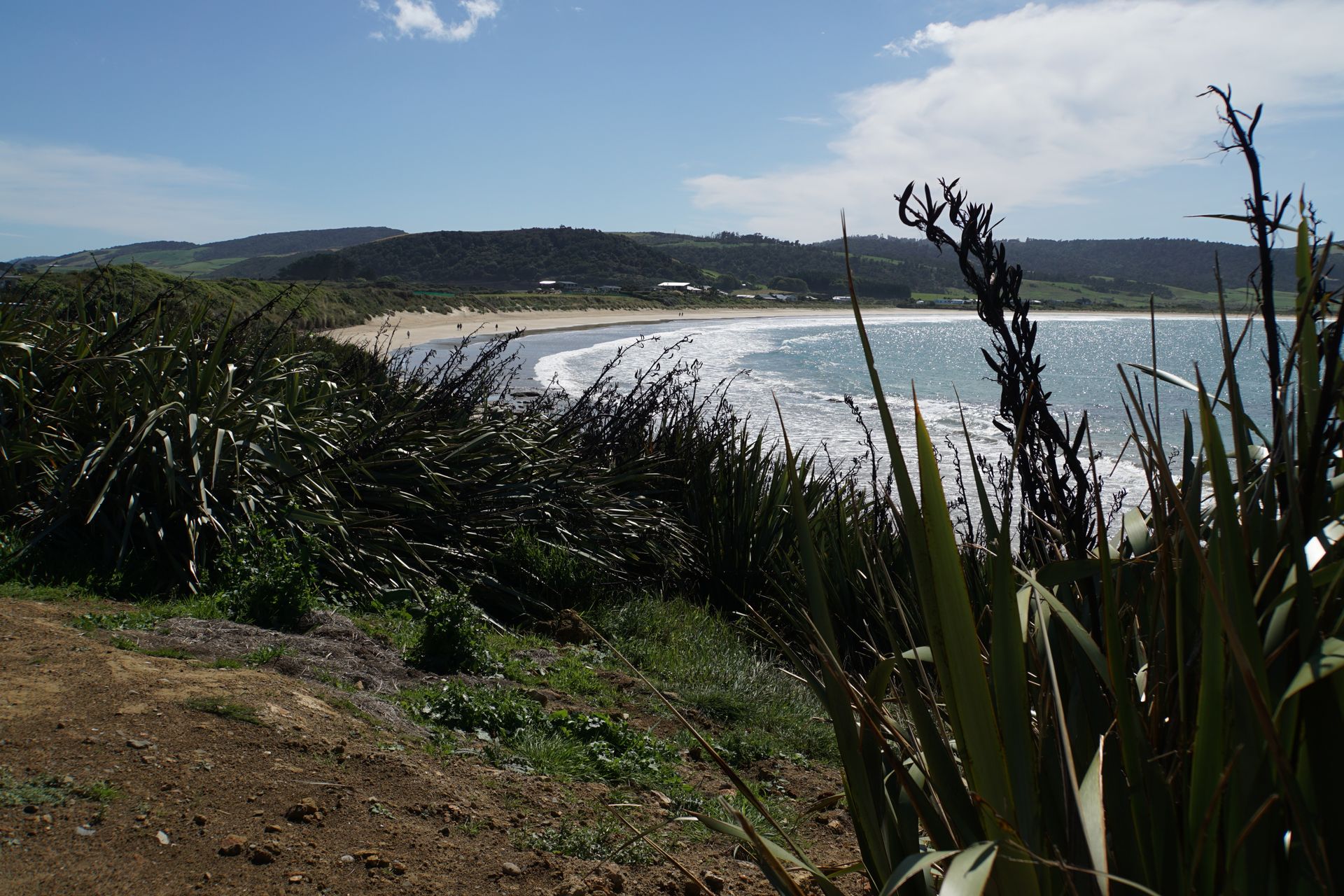
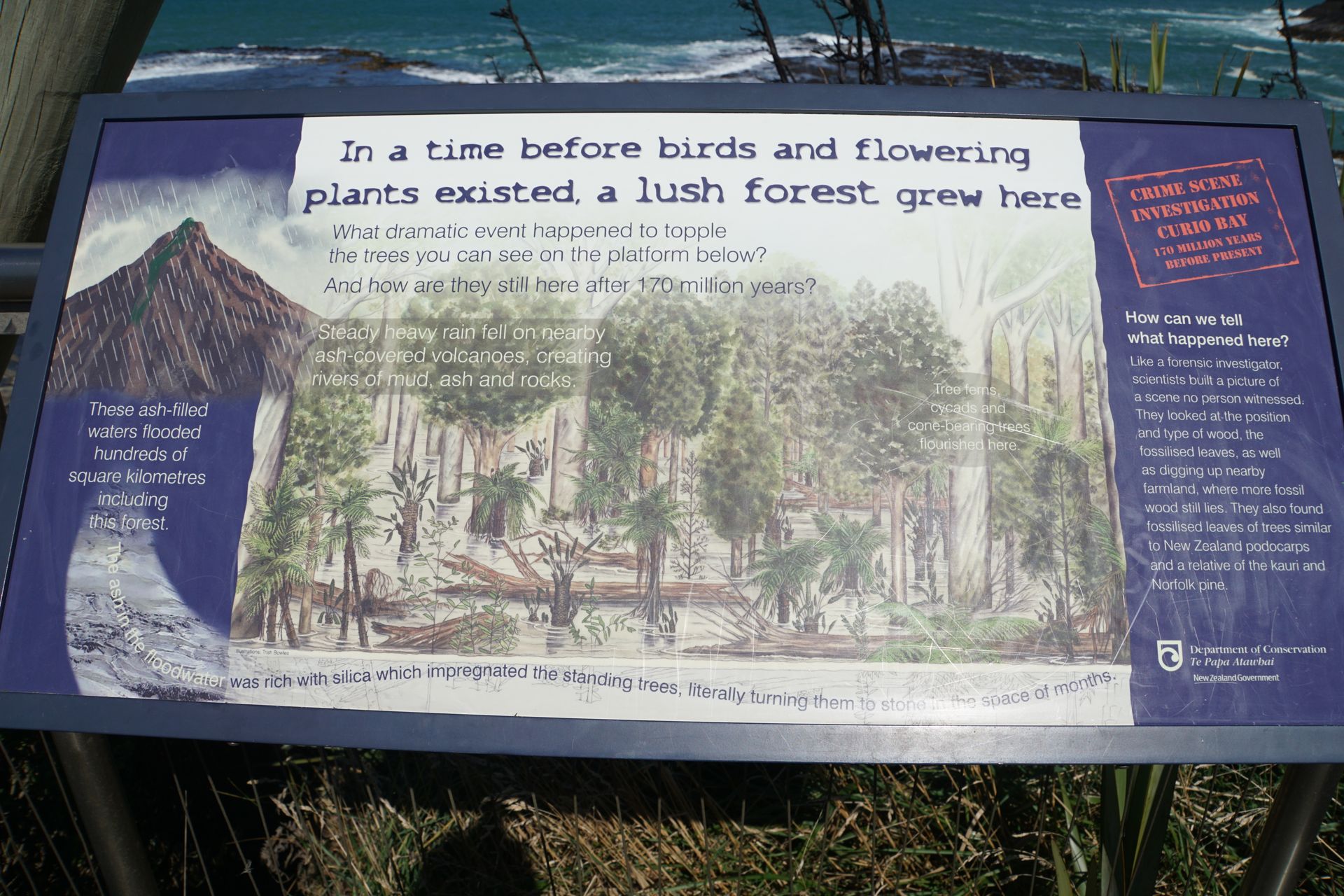
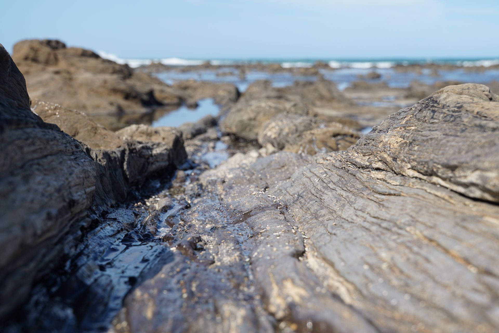
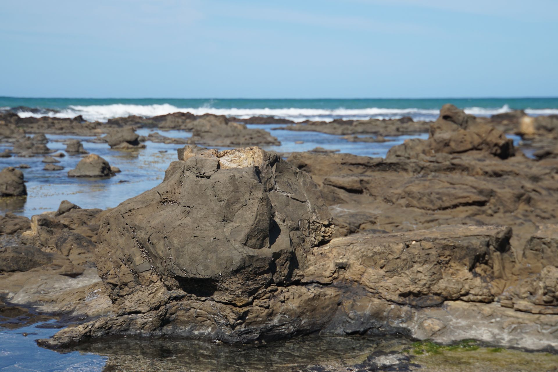
We then continue to the neighboring Curio Bay. Here we can admire a 180 million-year-old petrified forest. In fact, we have to search a bit and read the information boards before we know exactly what we're looking for. But then the stone tree stumps, bark imprints, and roots are clearly visible in the rock of the coastline.
In addition, the rare yellow-eyed penguin lives here, whose breeding colonies are only found in the southeast of the New Zealand South Island. Unfortunately, we don't see any specimens of this highly endangered species because they can only be observed at dusk when they return from their search for food, and we are here in the middle of the day.
Our planned stop at the Cathedral Coves a few kilometers further doesn't work out, as access is only open in the morning. Apparently, the path to the cave is impassable during high tide, and we've already missed low tide. So we go straight to the Purakaunui Falls. According to the brochure, these are the most photographed waterfalls in the country, so we don't want to miss them. The waterfalls, which, by the way, adorned a stamp in 1976, are only about 20m high, but they cascade down in beautiful cascades and are considered the landmark of the Catlins, as the area east of the Southland is called.
The sun is peeking through the clouds, bathing the Purakaunui Falls in golden light
We find a very lovely small campsite in Owaka, and after a rich omelet with fresh mushrooms and tomatoes, we drive to Nugget Point for the sunset. Here too, there is a white lighthouse that was built in 1870 and is still in operation. The exposed location of the lighthouse and the many rocks below the cape, which also gave it its name, attract around 45,000 visitors every year. Despite the strong wind, we're actually not alone and have to wait often enough for the right moment for a nice picture. So it hasn't been this "crowded" anywhere else on this route so far, but the trip was still worth it.
The blue hour at Nugget Point
Swoosh!
A large male on his way into the water
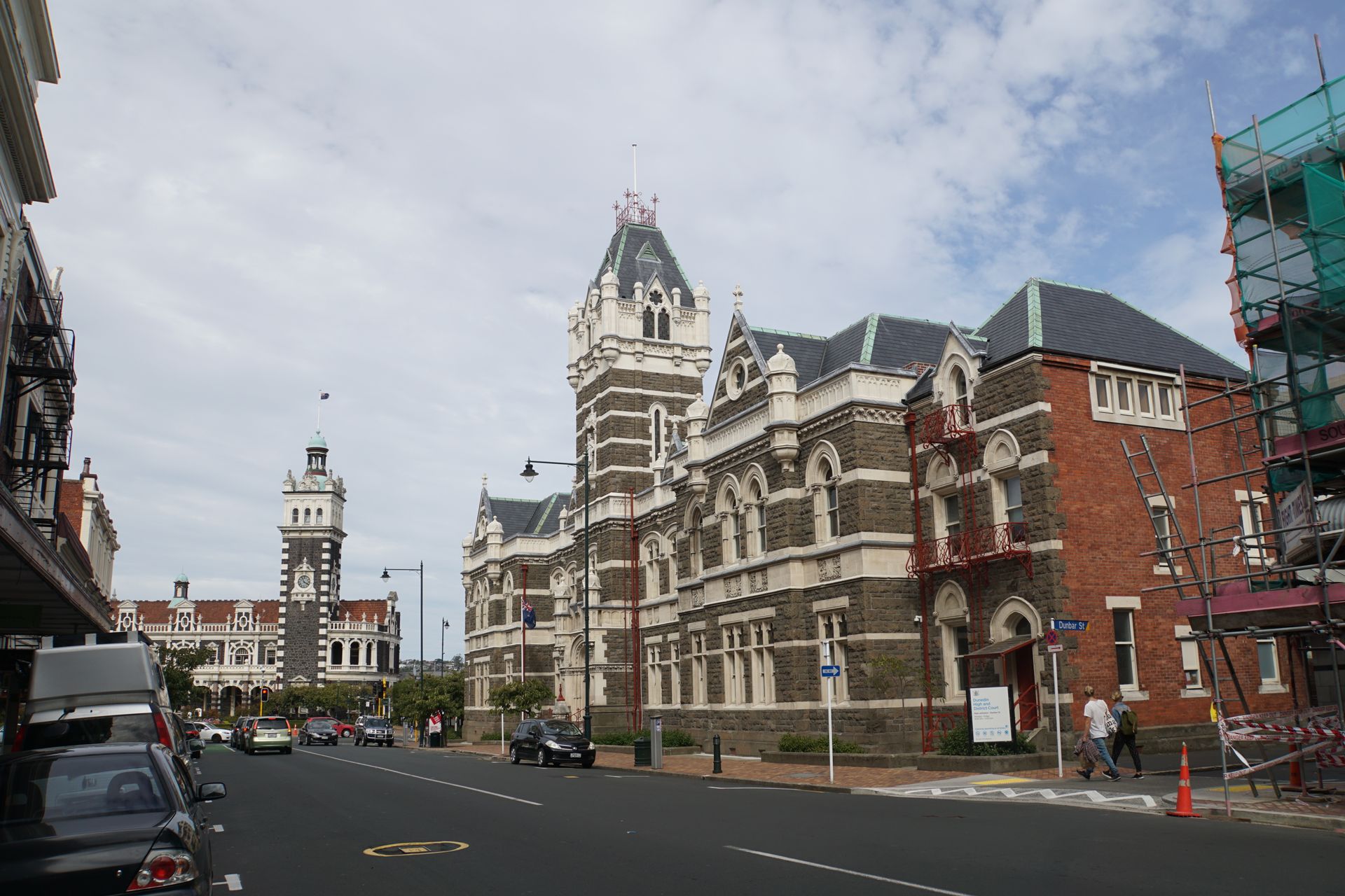
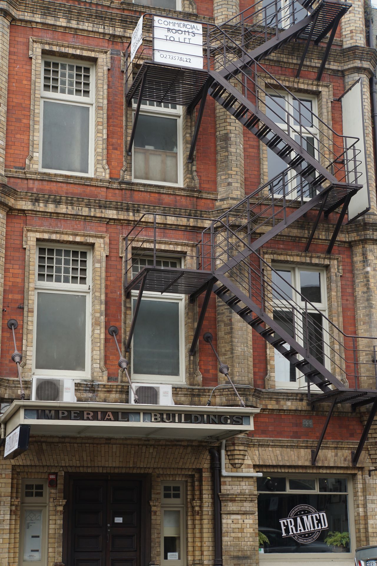
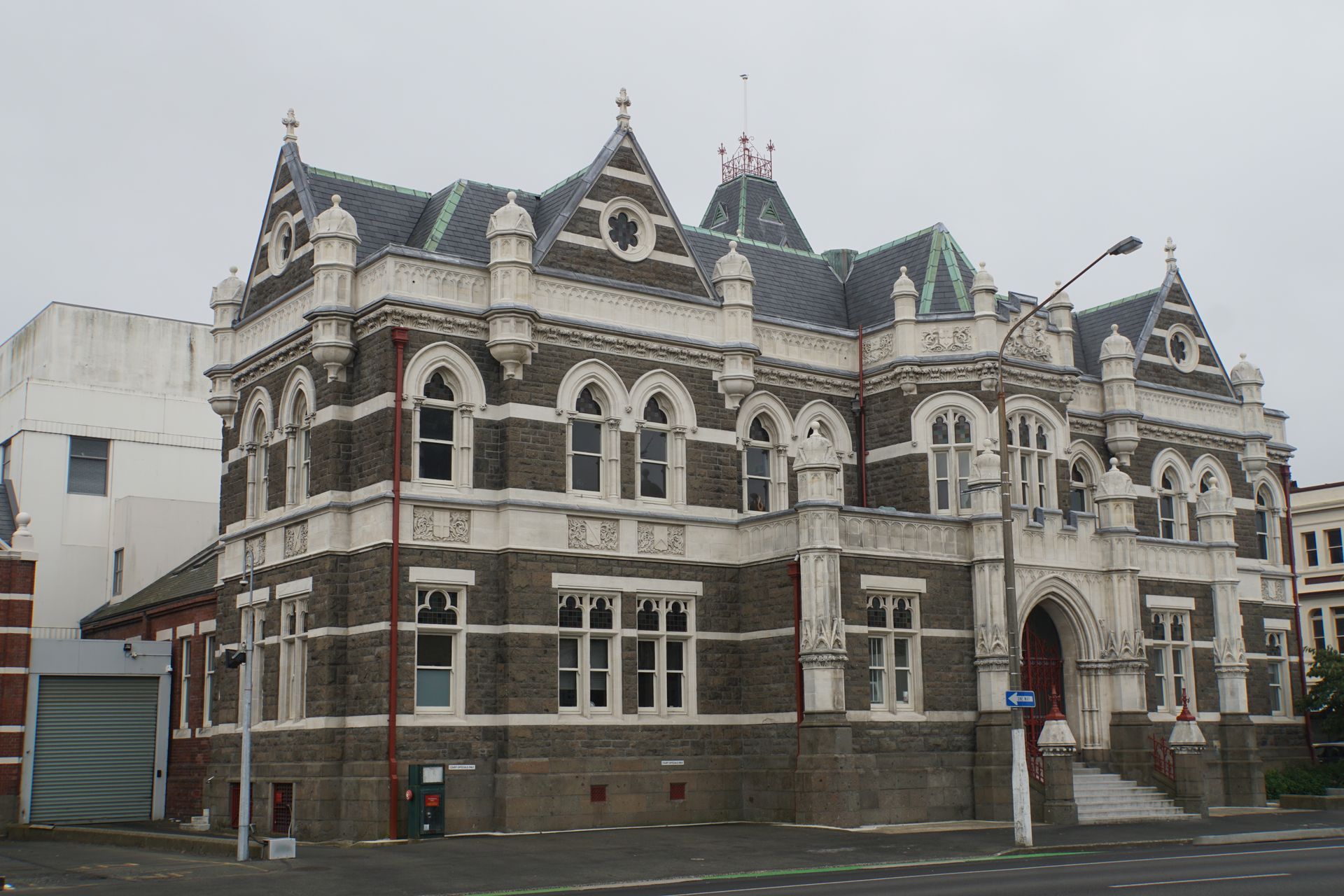
Today, the city looks somewhat shabby in some places, even though the old facades still remind of its former wealth
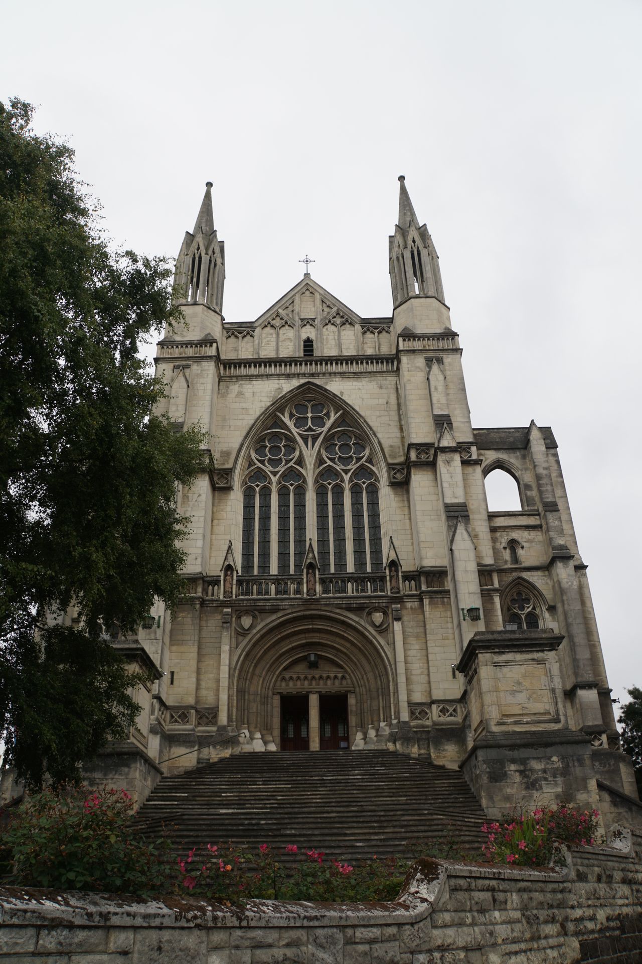
St. Paul's Cathedral
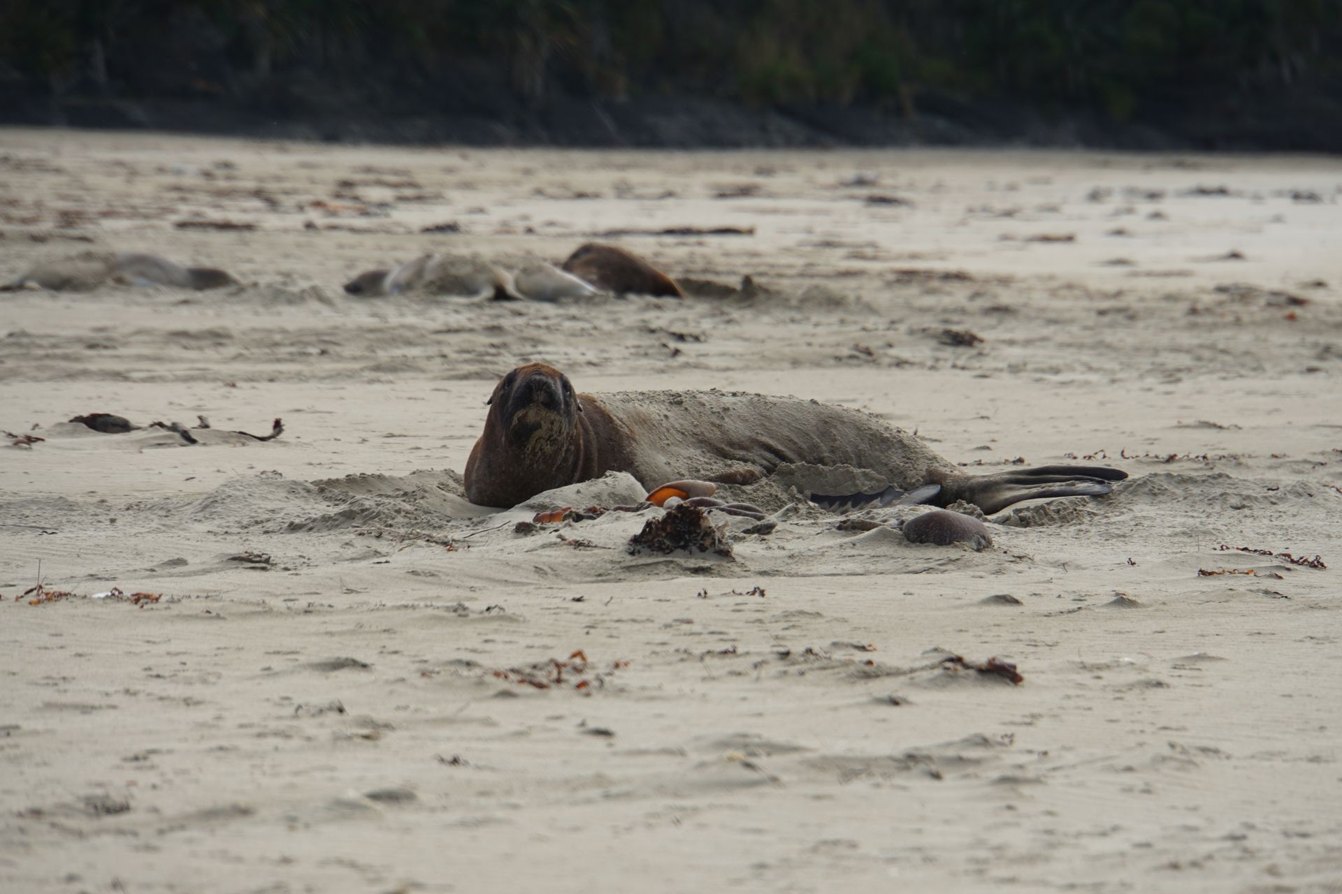
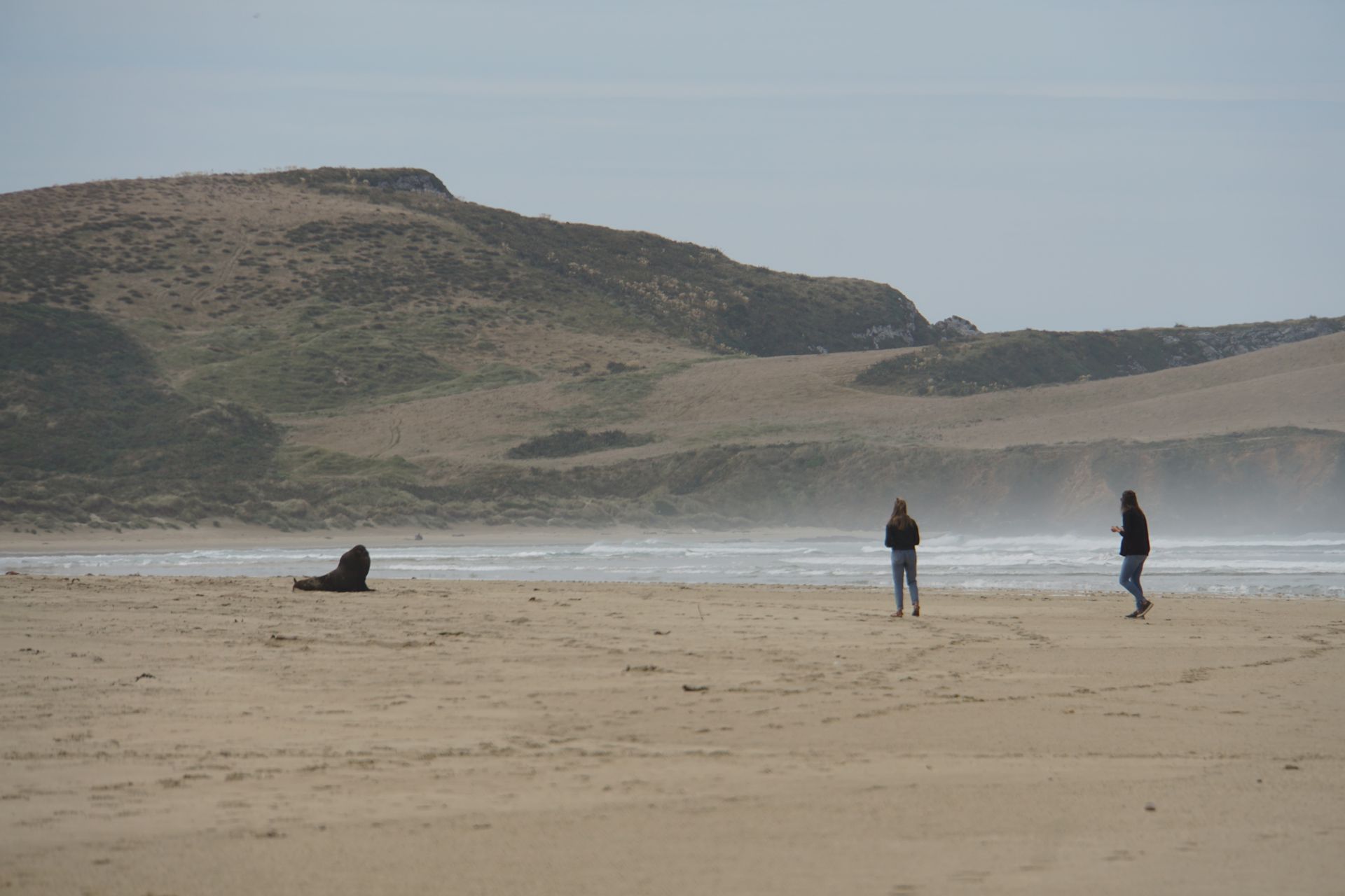
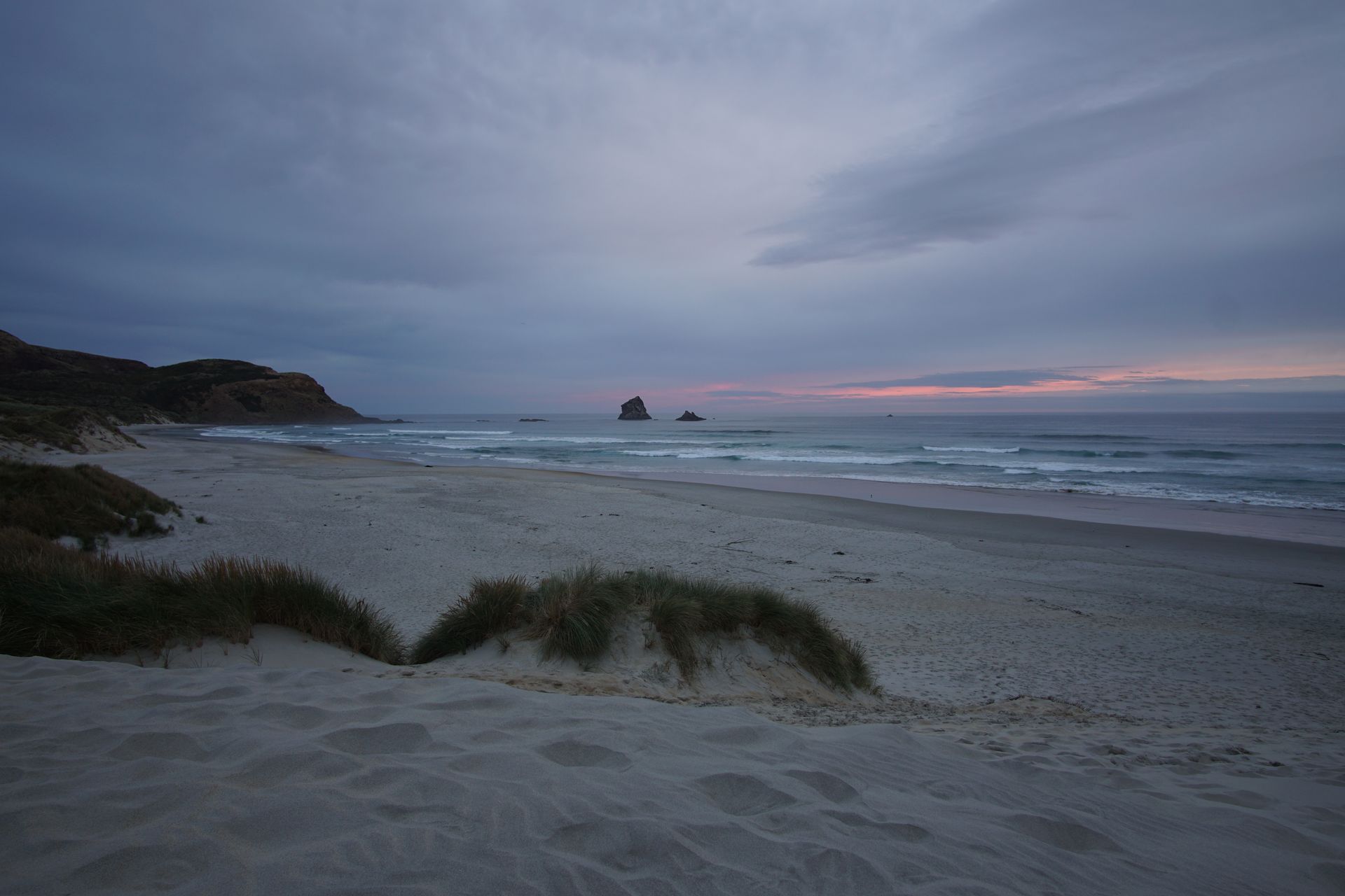
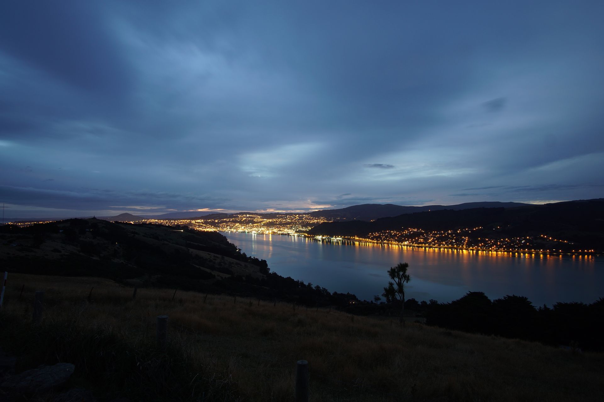
In the evening, we go to Sandfly Bay. Here, there is said to be another colony of the very rare yellow-eyed penguins. Unfortunately, we don't get to see any of these very shy animals, but we do see a beautiful sunset. And again, a sea lion poses for us, and contrary to our fears, we're not bitten. Apparently, the sandflies are no longer hungry. On the way back, we have a wonderful view of the brightly lit city with its natural harbor.
Sunset at Sandfly BayDunedin at night
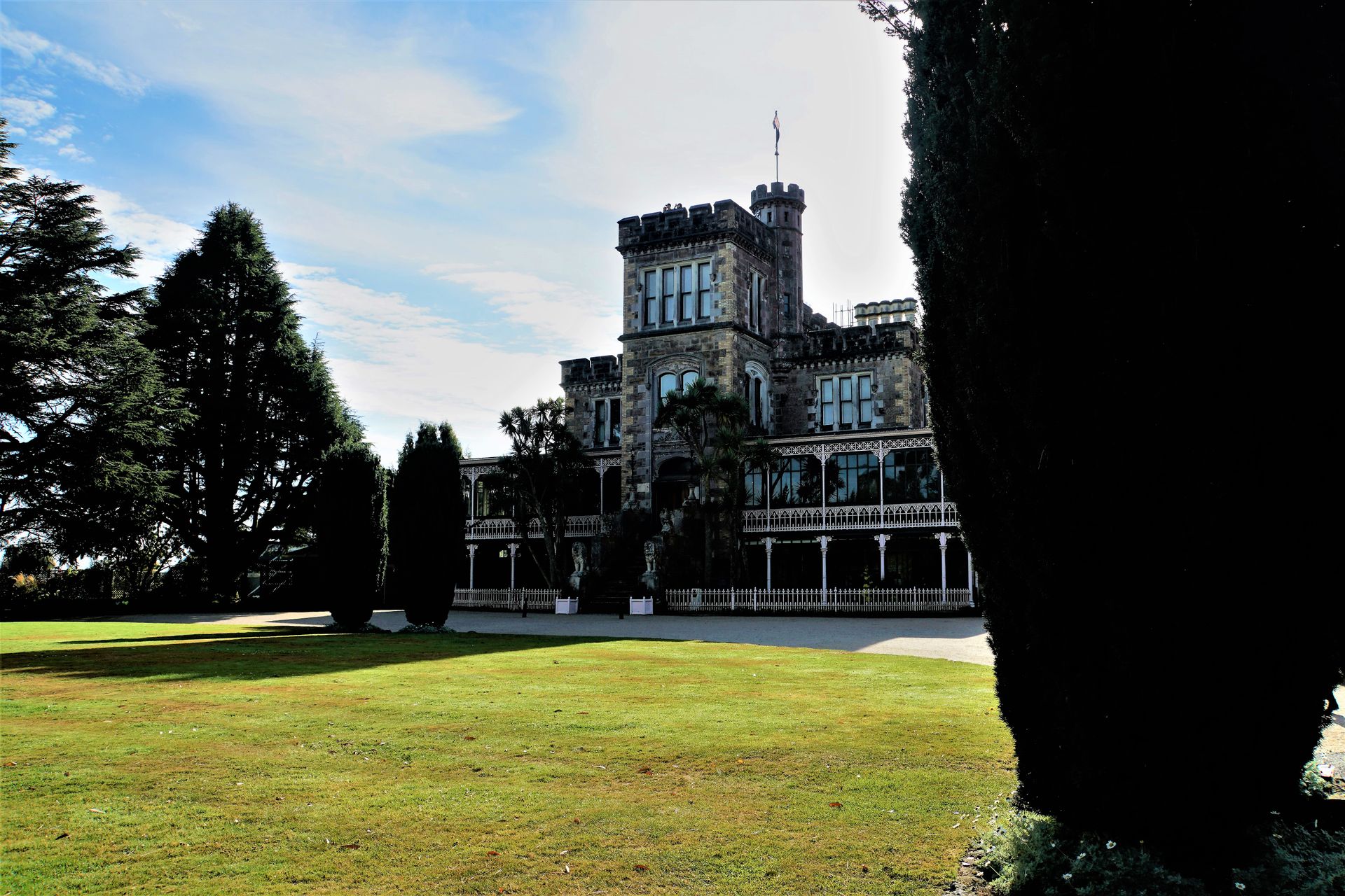
Next morning, we visit Larnach Castle, which strictly speaking is not a real castle but a very elegant industrialist's villa.
Larnach Castle
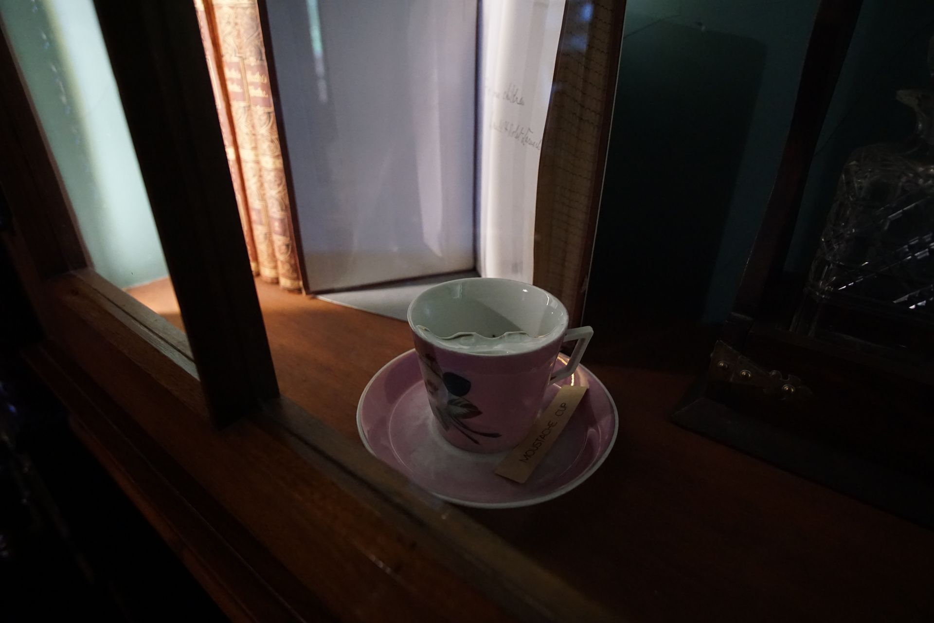
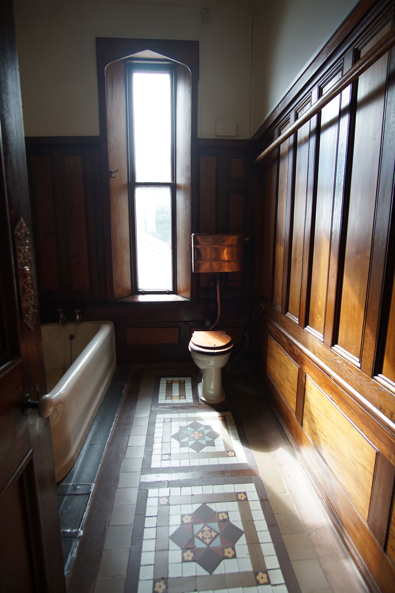
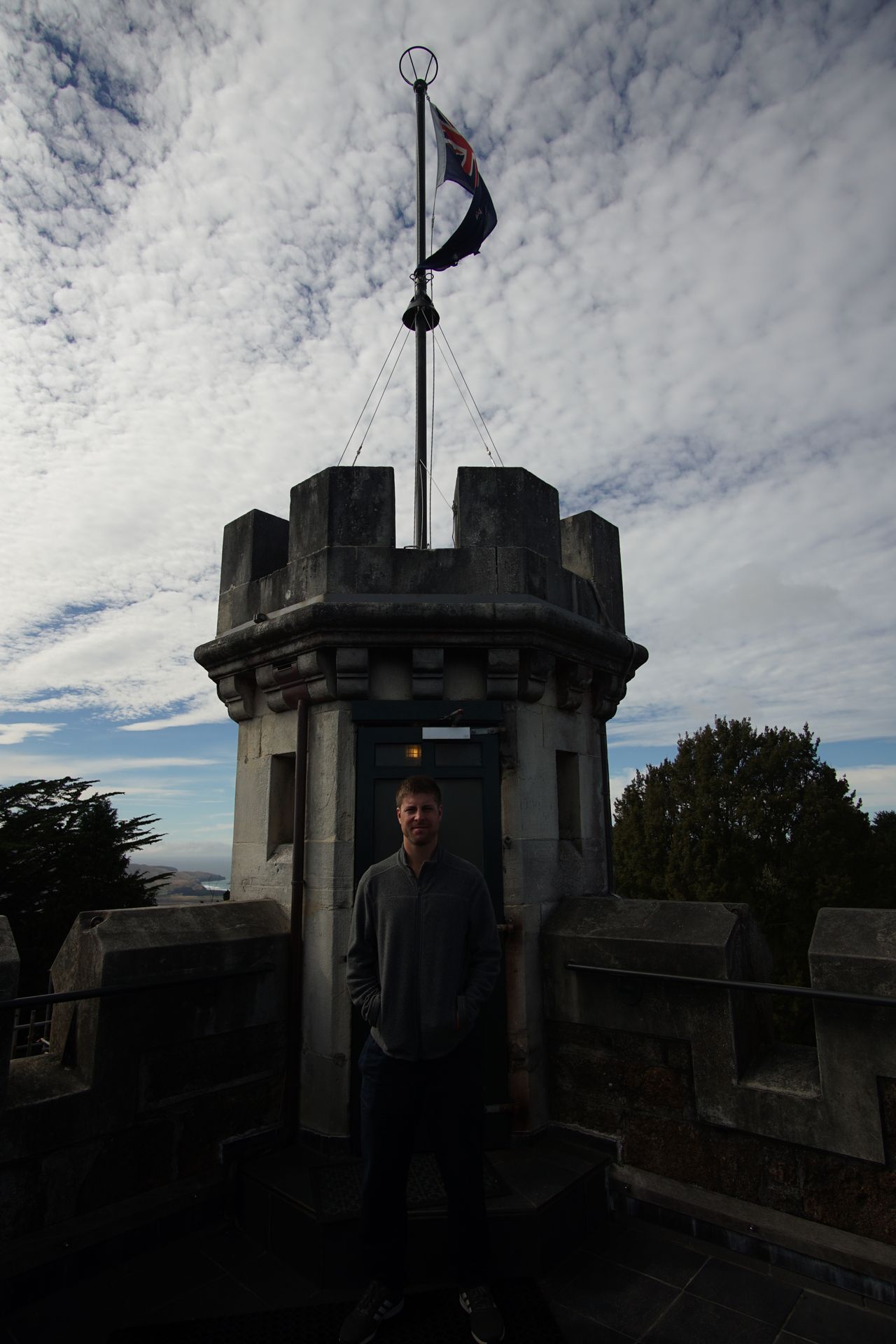
The industrialist William Larnach had the house built based on the model of his British uncle's country house. Glass from Venice, marble from Italy, stone from Aberdeen in Scotland, and exotic woods were used in its construction. You don't skimp on anything! As the saying goes: Money doesn't play Rolex. After Larnach's suicide, the villa was no longer inhabited and fell into disrepair over time until the young Barker couple acquired the building in the 1960s and lovingly and diligently restored and renovated it on their own. They still own the villa to this day. A film and many information boards inform visitors about the dramatic and tragic history of the builder, about the feuds among his heirs, and also about the entire renovation phase. We smirk a bit at the photos of the playing children on the construction site and the makeshift living and sleeping rooms of the family at the beginning of the construction work. Today, the lovingly restored house is one of the main attractions in Dunedin. We understand why, because in addition to the fascinating historical and family backgrounds, the property impresses with its beautifully designed gardens and a great view of Otago Bay and the city.
The music roomBehind the gardens, the view opens onto Otago Bay
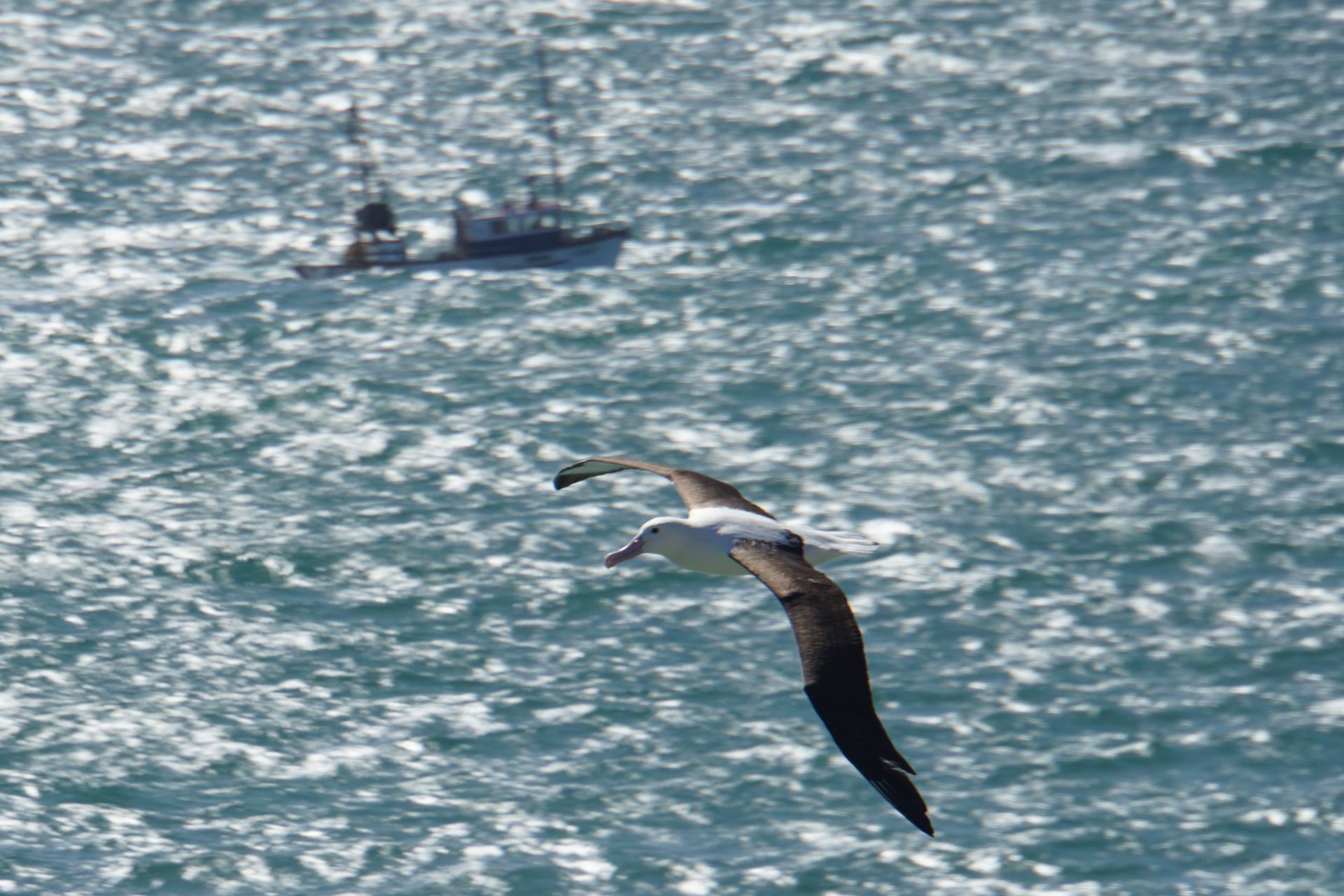
Afterwards, we drive to the northern tip of the Otago Peninsula, the 30km long and up to 12km wide peninsula above Dunedin. Here we want to visit the Royal Albatross Center, where we can see the only mainland-based royal albatross colony in the world. Unfortunately, the entrance fee is very expensive, and since the huge birds glide over our heads already before reaching the center, we prefer to join the other spectators at the cliffs (don't worry, there was a railing) and wait for the next bird to fly in front of our lens.
The gigantic birds with an average wingspan of 3m glide past the lighthouse at the edge of the cliffs
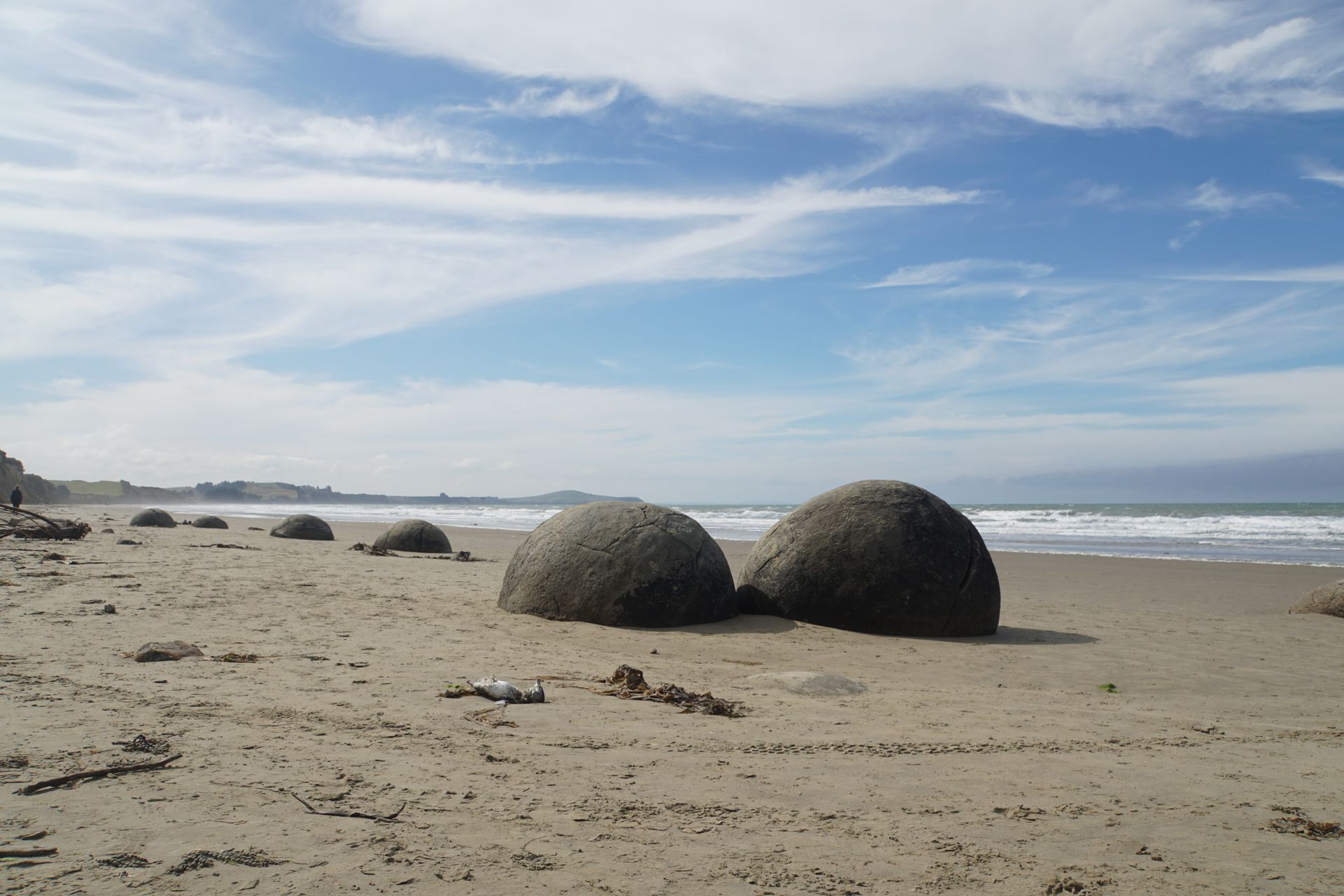
We make a five-minute stop at the Moeraki Boulders Beach, where we can admire giant stone balls in shallow water. Then we continue to Christchurch, our last stop in New Zealand.
The spherical stones are a popular photo motif
Kau inoa i ka Nupepa
Pane

Hōʻike huakaʻi Aotearoa