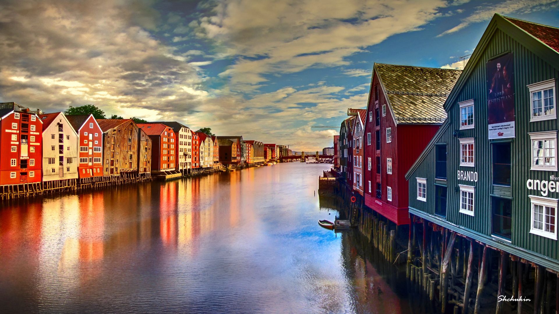

Saturday trip to the west coast (29.05.21)
Hoʻopuka ʻia: 07.06.2021


Kau inoa i ka Nupepa
My roommate Clas has finished his exams and in that context he asked me if we could use my very practical means of transportation to go on a hiking trip. He had chosen a supposedly worthwhile destination on the west coast.
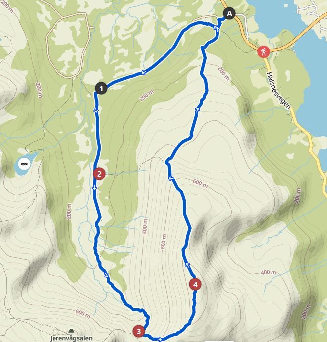
The mountain "Skarven" could be reached about two and a half hours drive towards the coast and was located on the island "Tustna". My other roommate Håkon had also spontaneously decided to come along. And so we set off on that Saturday shortly after noon to see some coast.
The journey was as always. In Norway, you just need to drive in any direction to see picturesque landscapes. And so the journey was not boring. Of course, also because of the interesting topics of conversation. On the coast, the sunshine gave way to a cloudy sky, but this did not detract from the landscape and raised my hopes of coming back from a trip without a sunburn. Despite applying Nivea sunscreen, which costs three times as much here (€15 per spray can, SPF 50, water-resistant and of course for children), I was not eager to roast all day.
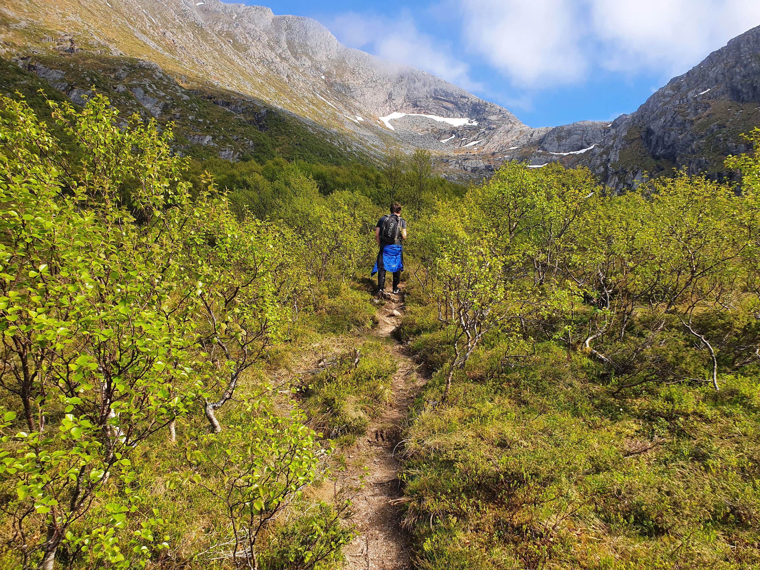
The path started next to the road in a little forest, and despite the enlightened sky, the trees offered a somewhat shady path.
The hiking trail we followed was described as an official hiking trail on the Norwegian hiking website www.ut.no (ut = out). But that does not mean, of course, that we could expect well-trodden, well-maintained paths. Norwegian hiking trails are only real hiking trails when the mud squelches between your shoes with every step and you are literally forced to deal with the vegetation. But as they say, no pain, no gain, and so we hiked through the valley to climb the mountain ridge at the end of the valley.
The path became drier, but also rockier, and you had to jump over a few rocks to make progress. The sun also had a clear shot on the open area and made us sweat. Along the way we actually encountered some deep patches of snow. Unusual sight for early June.
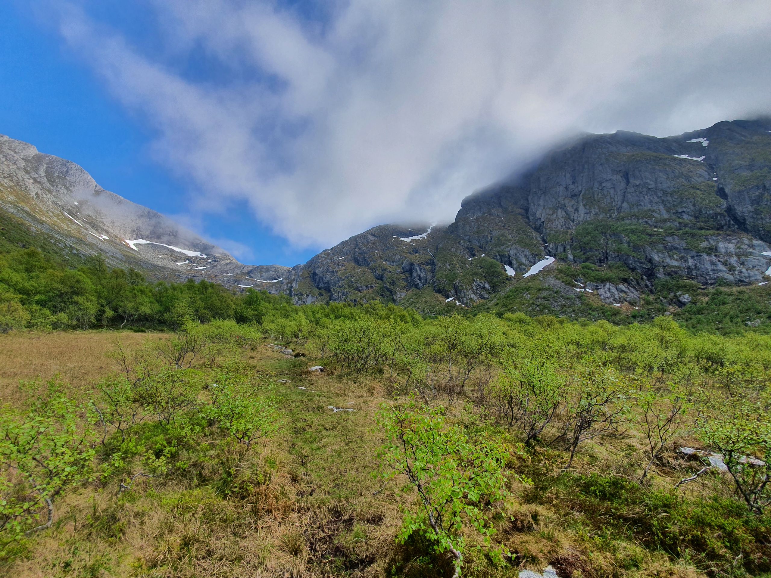
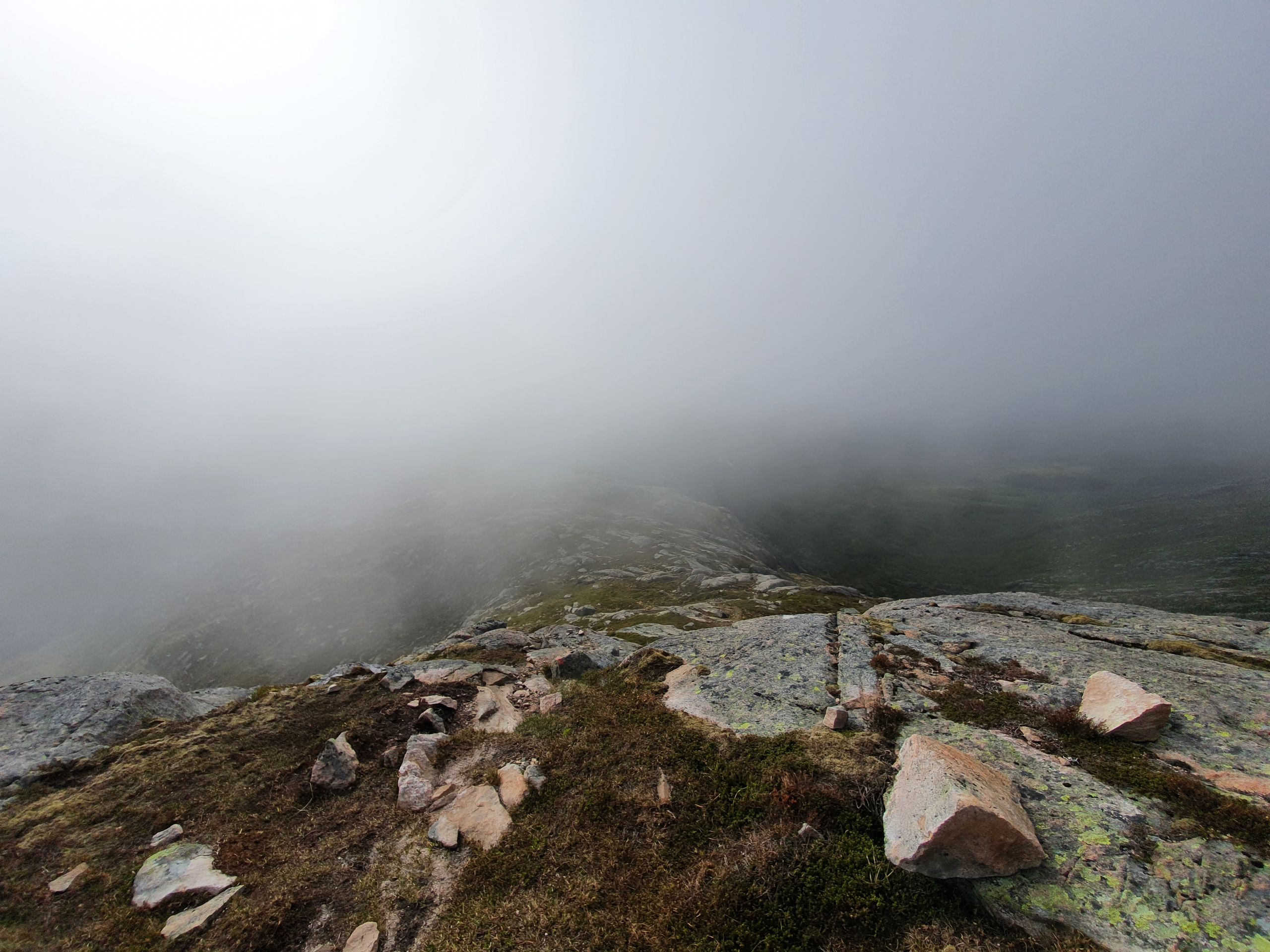
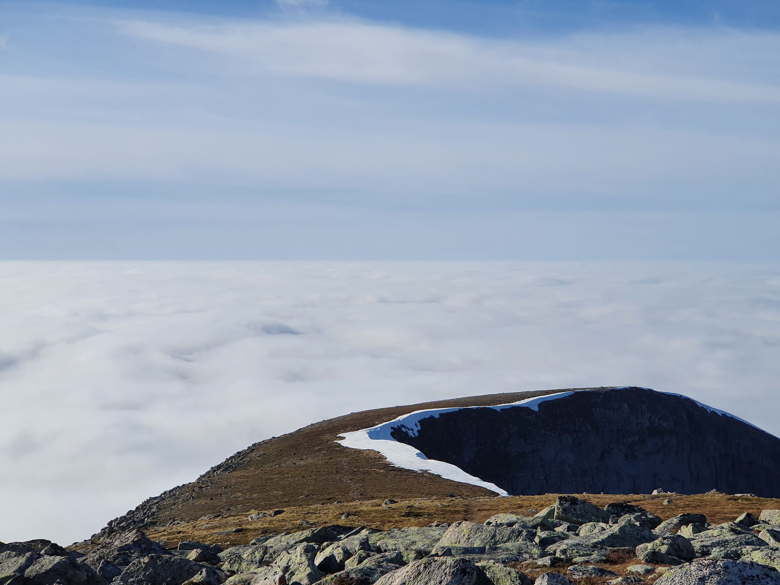
And with every meter of ascent, the valley receded further below us and offered us an increasingly varied scenery. When we reached the first ridge, approaching clouds became visible. But this time, of course, below us, as we were already above the cloud cover. The clouds poured down the back of the ridge on which we had ascended. Very impressive, even without time-lapse.
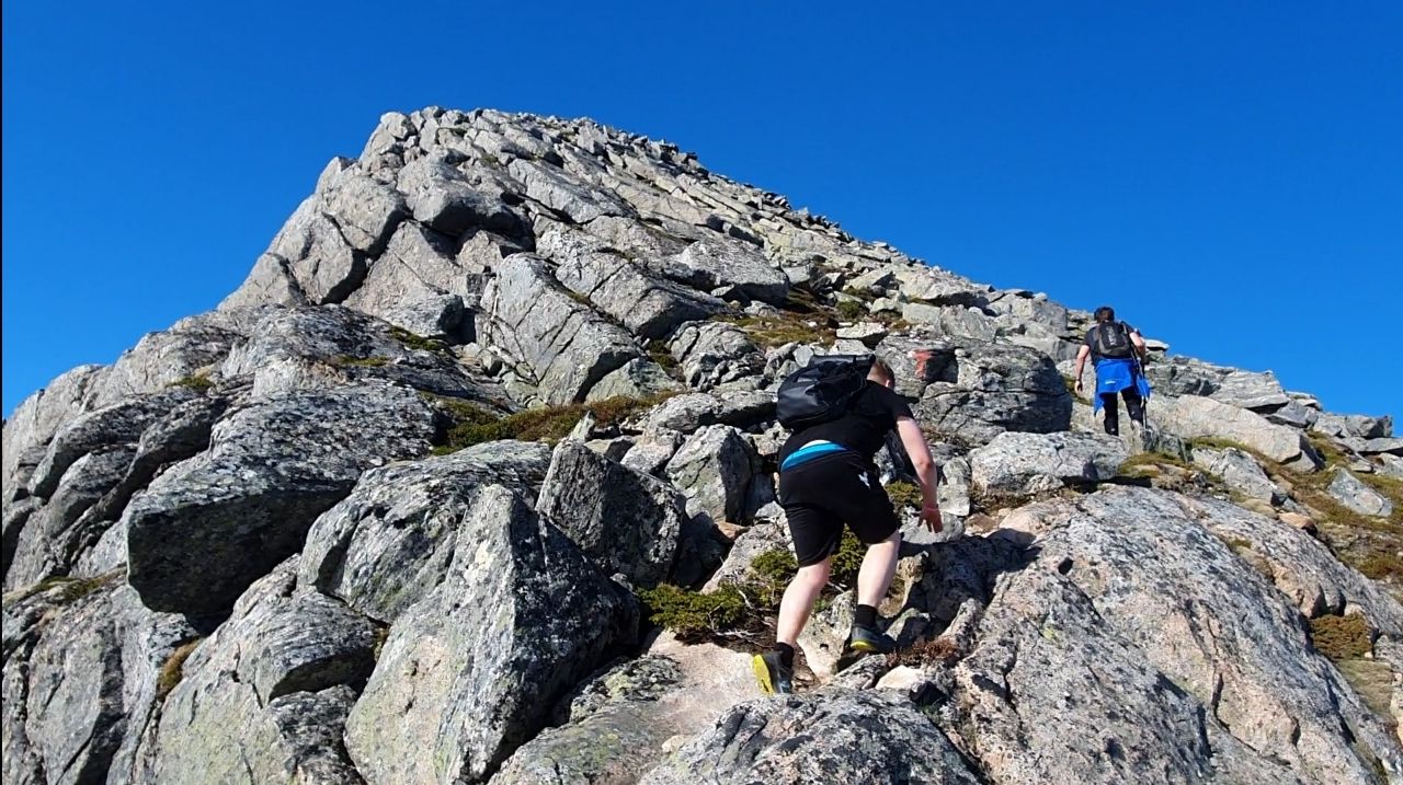
We reached the most challenging part of the route. The path was completely replaced by rocks, and for a distance of about 300 meters, a height of 300 meters had to be overcome (1 meter forward and 1 meter upwards!). Good footwear with a non-slip sole is essential. In this section of the route, you have to choose your own path (the previous trail is no longer visible, the rocks are the trail). Despite the scorching sun, it was an absolutely exciting and fun ascent.
Since the cloud cover in the valley had closed by now, a white plain lay below us. With outstanding mountains, one of which we had just climbed. The summit awaited us soon, and we signed the logbook, which awaited the mountaineers in a letterbox mounted on site.
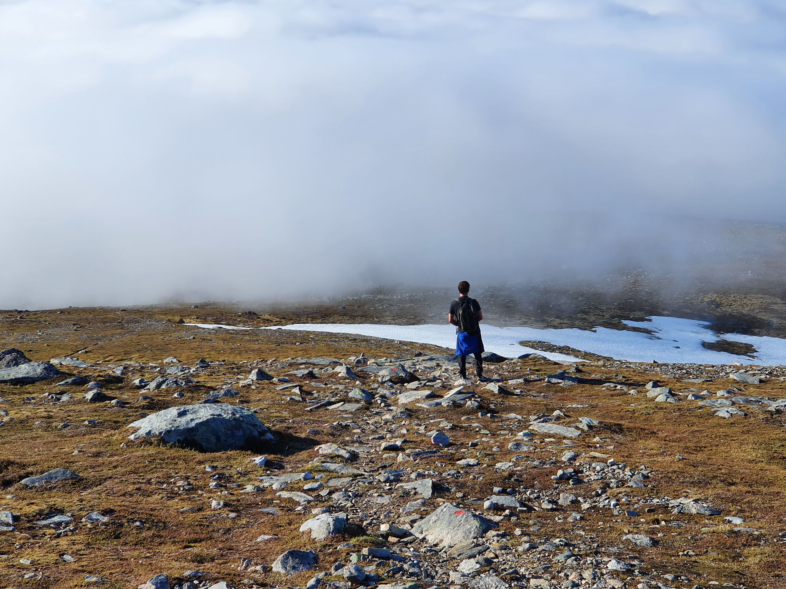
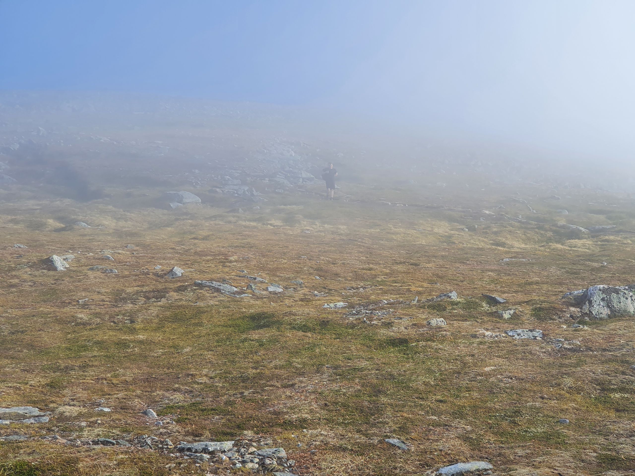
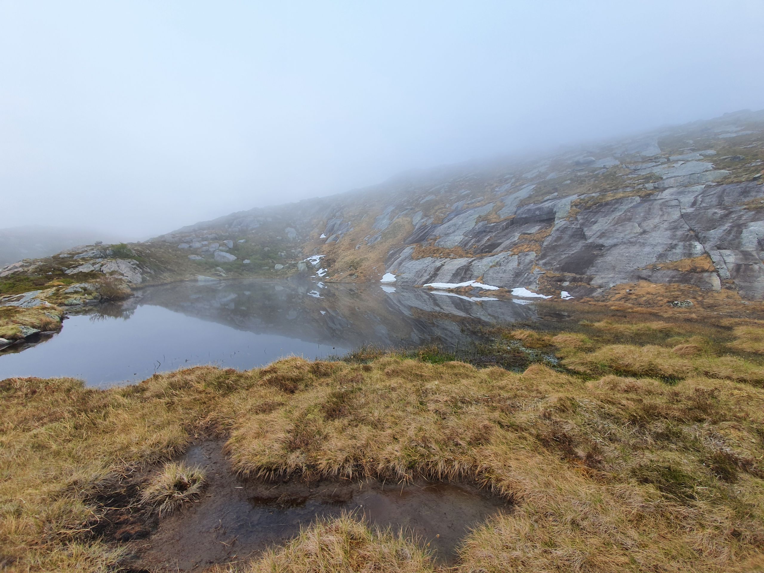
By now it had gotten late, so we decided not to take a long break and started our descent. As we descended along the mountain ridge on the other side, it was flatter this time and we had enough time to admire the barren mountain ridge interspersed with snow patches. Soon we met the cloud cover, and entering it, we were surrounded by a pleasantly cooling mist. Besides the exciting ascent, this was definitely one of my highlights. The increasingly marshy-looking landscape with occasional rocks in the fog gave the impression of a fantasy landscape. Bird calls, which could be heard here and there in the silence, added to the atmosphere (although our conversation topic about gender, although interesting, was somewhat in contrast).
On the way back, we eventually lost the trail and decided to make our way back to the road through rough terrain. Not a big problem, as it was only about a kilometer away. We reached the parking lot again around 8:00 pm and set off for a comfortable ride back.
Kau inoa i ka Nupepa
Pane
Hōʻike huakaʻi Nolewai