
Oregon, Washington State & Vancouver Island
vakantio.de/oregonwashingtonundvancouverisland
Oregon Dunes & Diamond Lake
Argitaratu: 23.08.2019




Harpidetu Buletinera
Friday 29.06.
Already at a quarter to nine we leave the Lakeside Lodge in Lakeside/OR and the Tenmile Lake South and initially drive to the John Dellenback Dunes Trail.

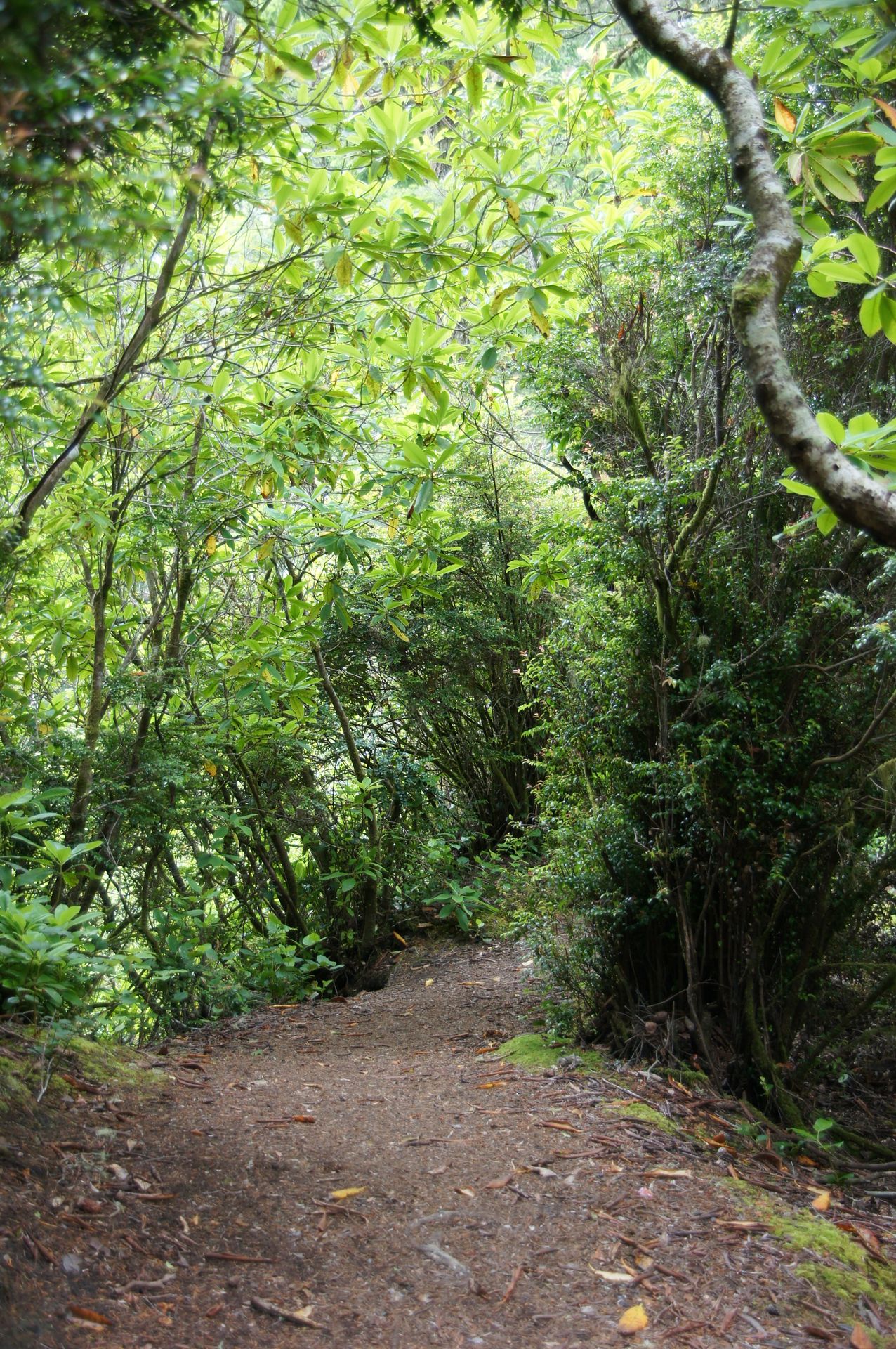

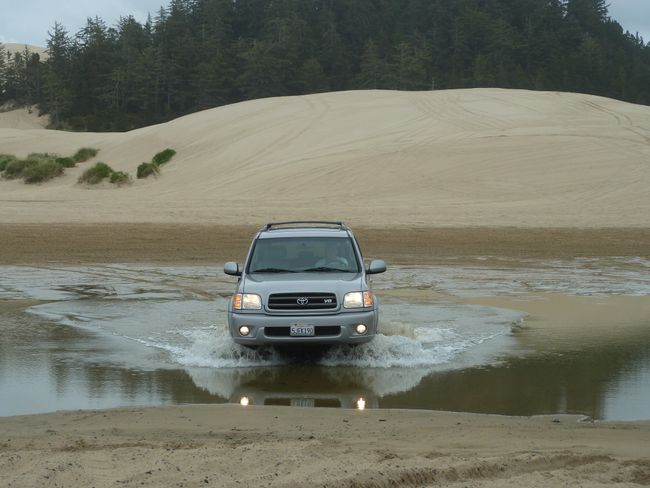
We walk through the forest and soon in deep dune sand with a great view. The dunes stretch for 70 kilometers along the coast here.

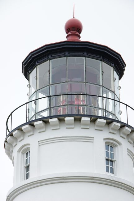
The attempt to visit the Lighthouse in Winchester Bay fails because you cannot go inside. The sky is completely covered and again the photos turn out accordingly.
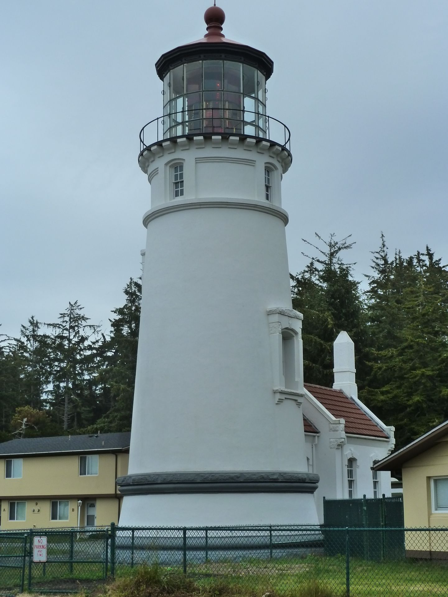
Lighthouse in Winchester Bay
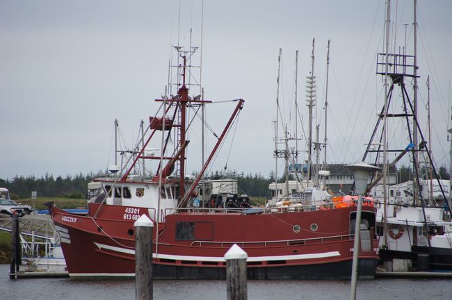
However, from the lighthouse we see lots of ATVs rumbling around in the sand dunes and between the trees, and off the coast there are huge oyster and crab farming stations.

Oyster and crab farming
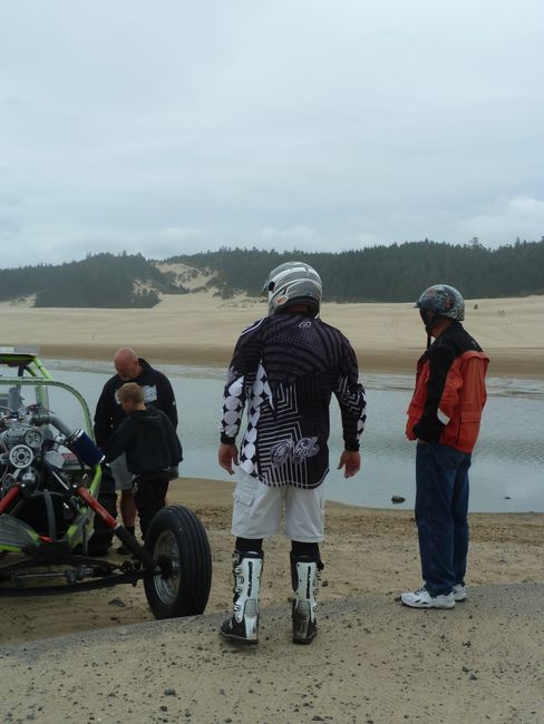
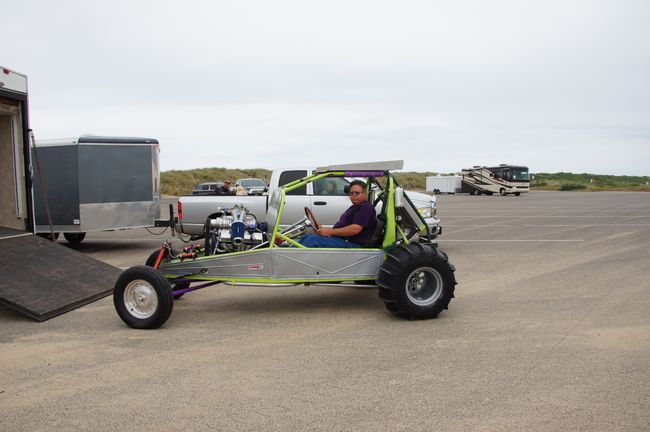
So we drive down and watch people on ATVs. It's actually a sin to be blasting through these great dunes with these stinking vehicles. Some people have arrived here with motorhomes, in the back of which are the 4-wheeled motorcycles, and then they go up the sometimes really high dunes.
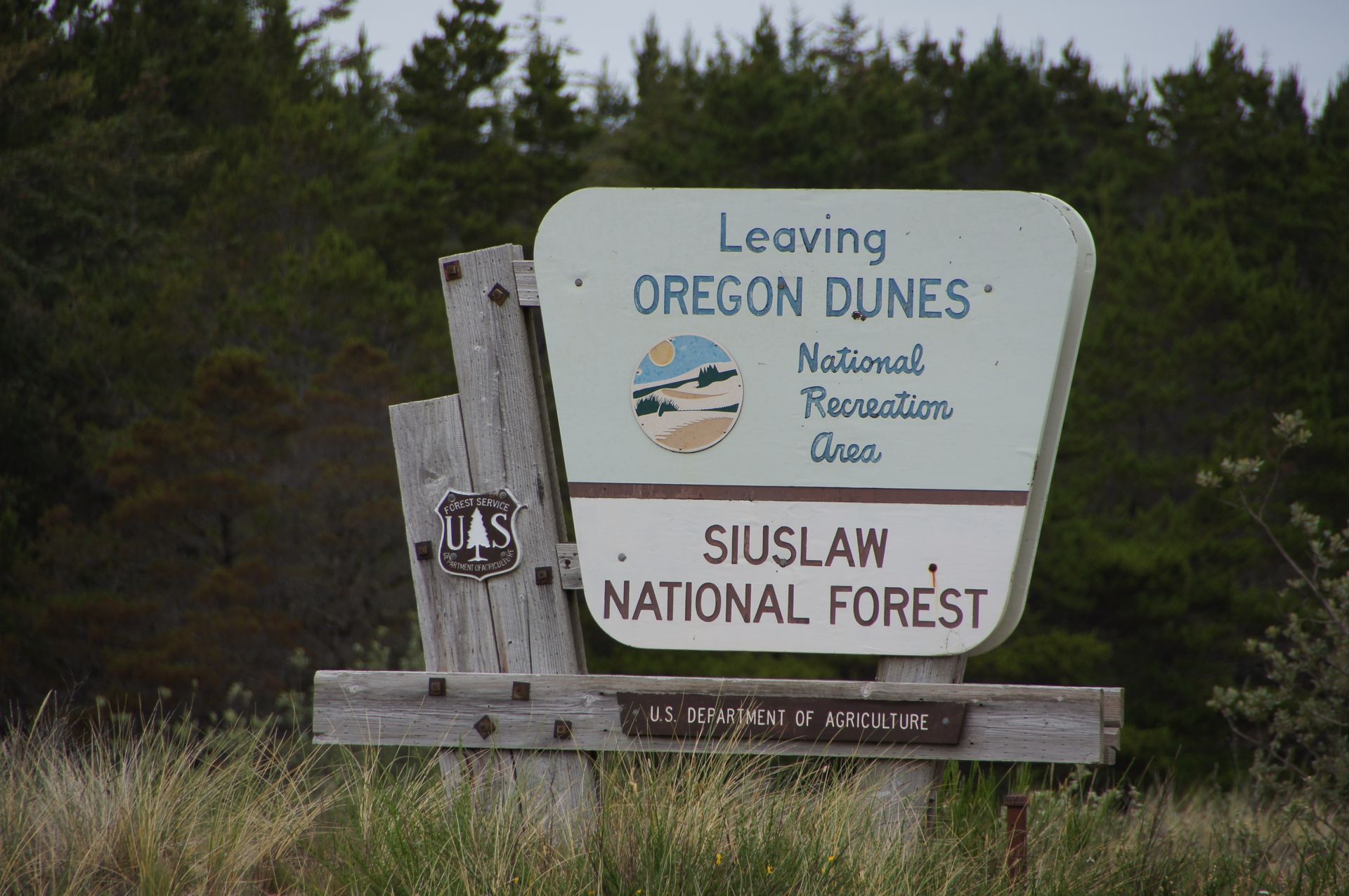
'National Recreation Area' and then it smells like gasoline and the ATVs are clattering around...Exactly my humor.
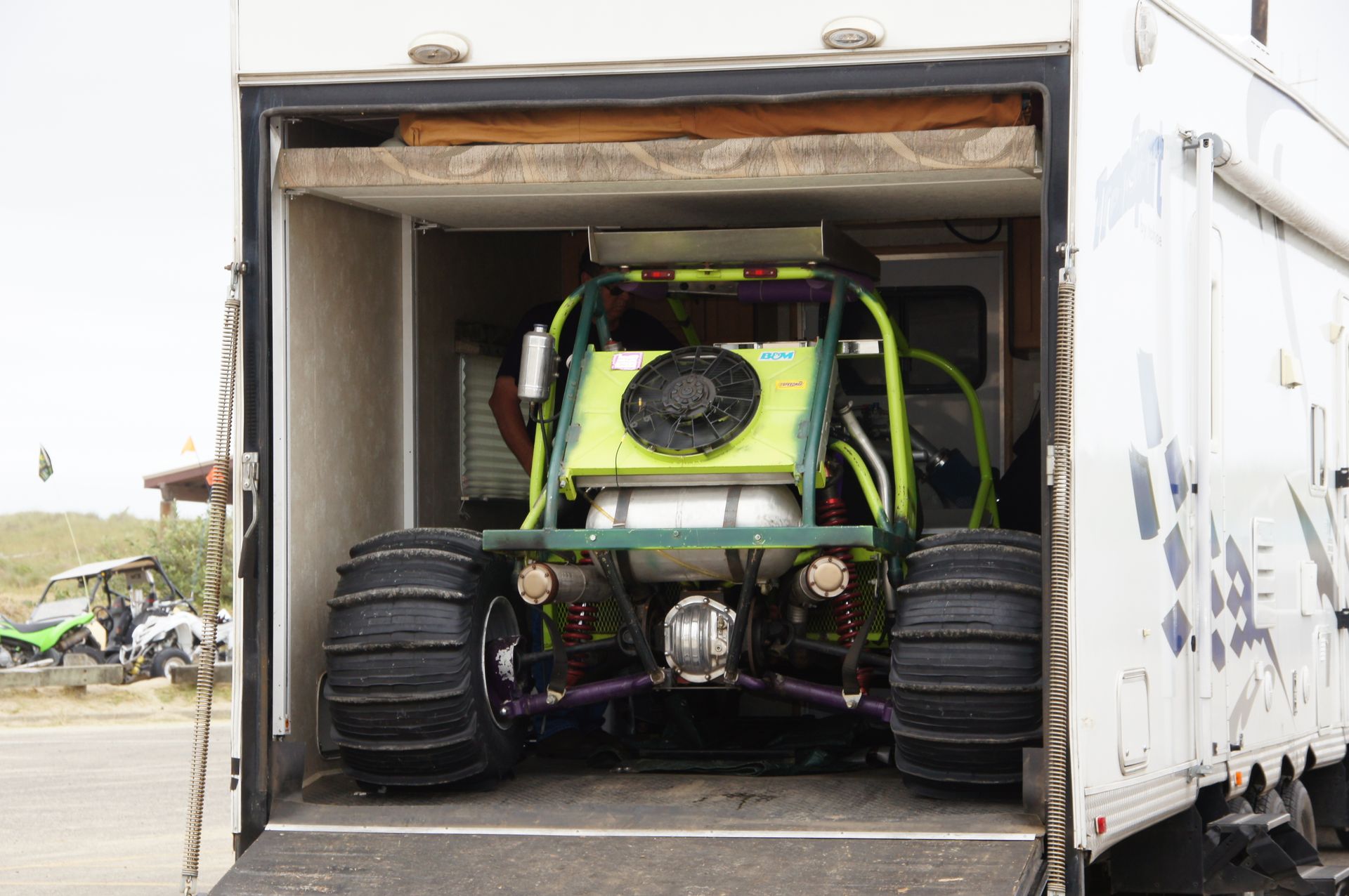


It starts to drizzle - what else? At 11:30 we are in Winchester Bay and want to have breakfast, but there is nothing left for breakfast and so we continue south towards Coos Bay.
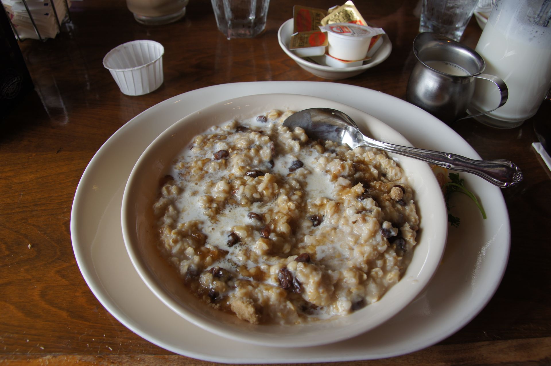
Just before Coos Bay, in North Bend, we find a great place that doesn't look like much, but serves amazing food. After two weeks in the USA, finally hot oatmeal with raisins and brown sugar! And afterwards even a club sandwich on hazelnut toast! Sooo good! I order a hazelnut steamer, thinking it's coffee, but I get hot milk with hazelnut flavor. It doesn't wake me up, but it tastes heavenly!
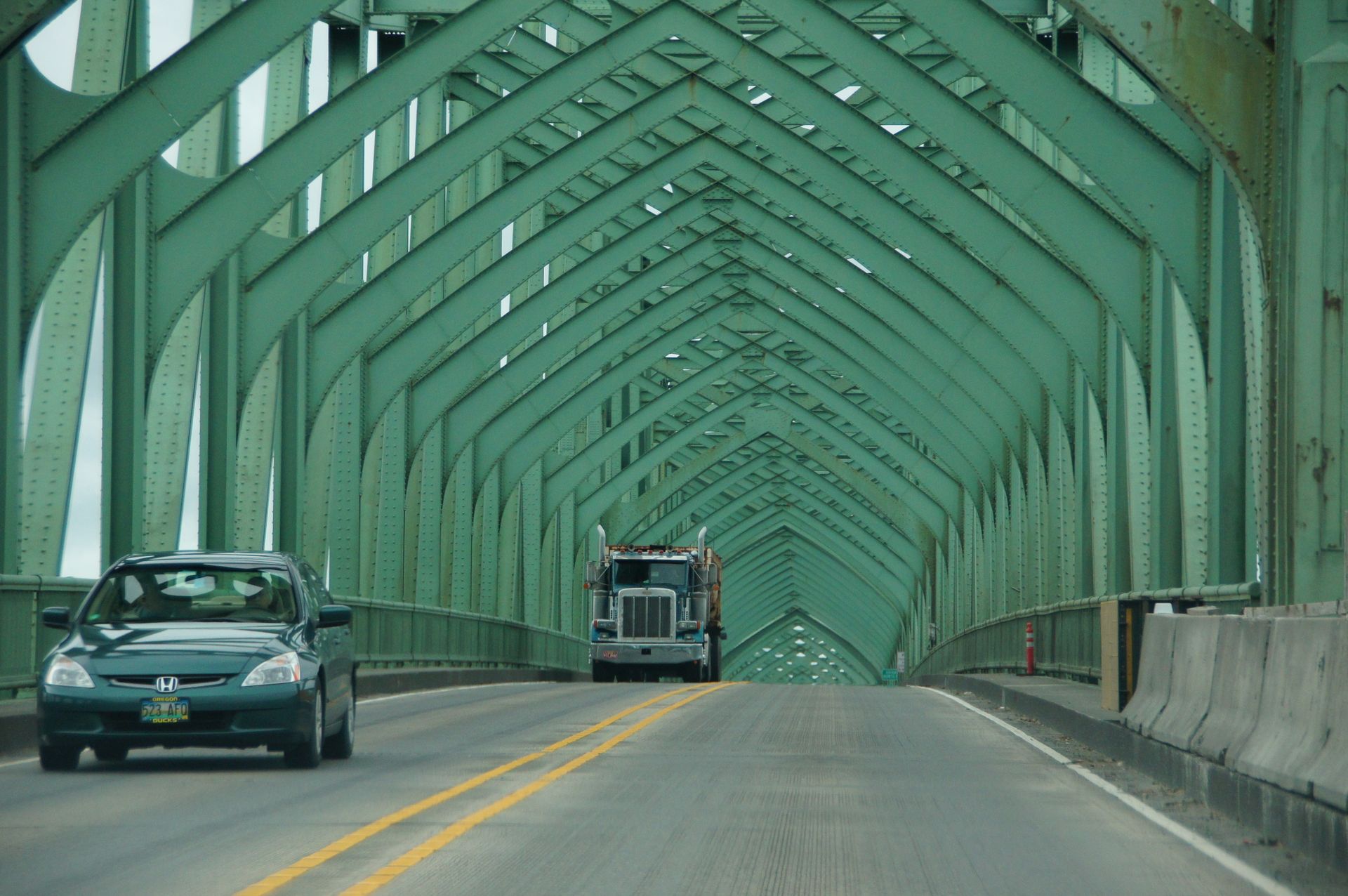
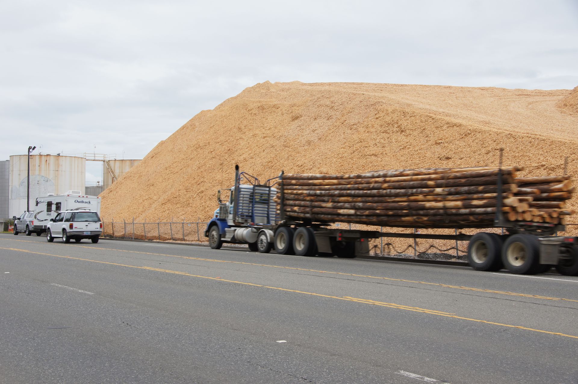
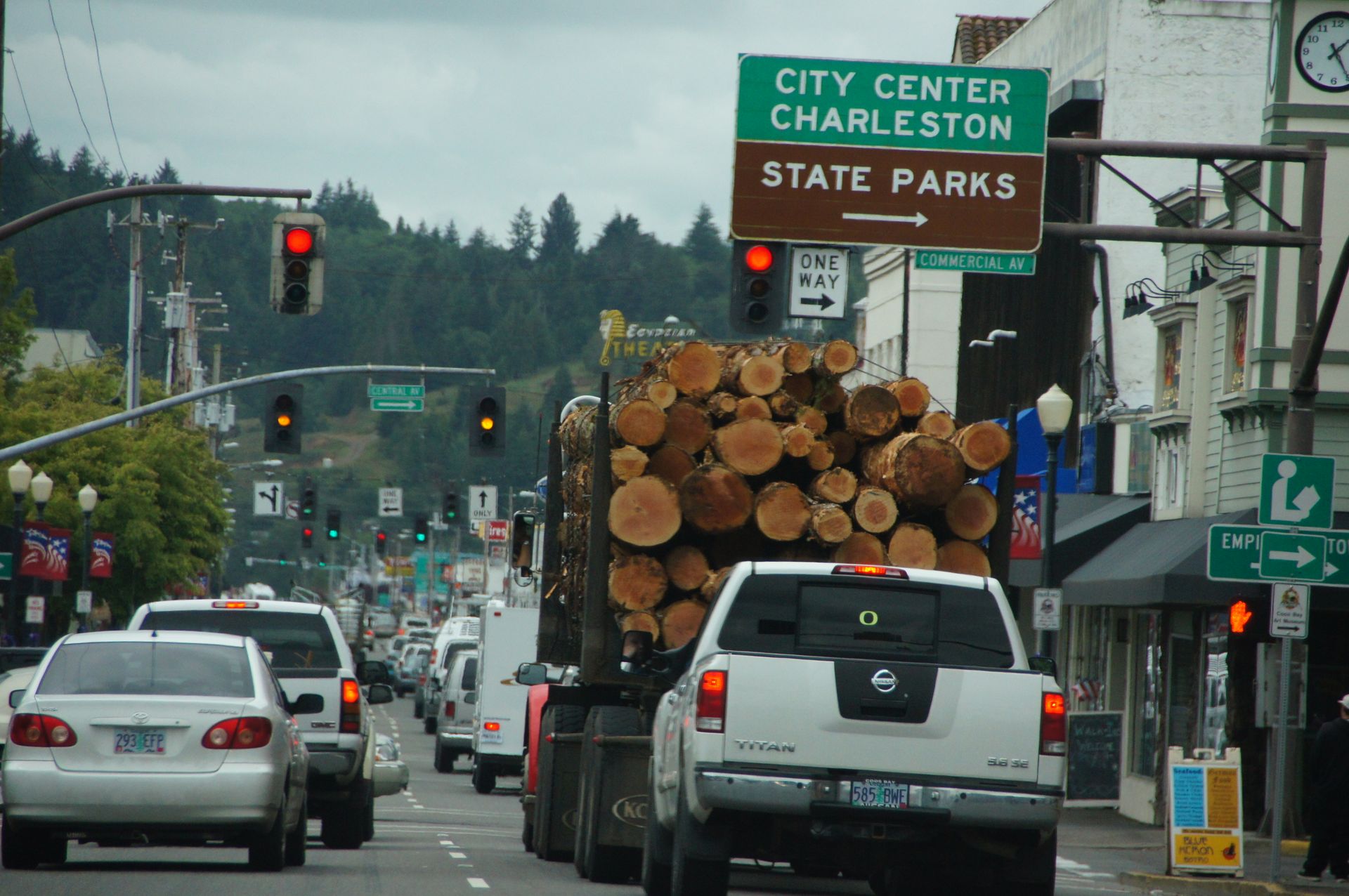
Almost unable to walk without falling forward, we sit back in the car shortly afterwards and soon drive through Coos Bay, which is not as stunning as we thought. We encounter a few of the gigantic trucks with endless logs speeding around here as if there's no tomorrow.
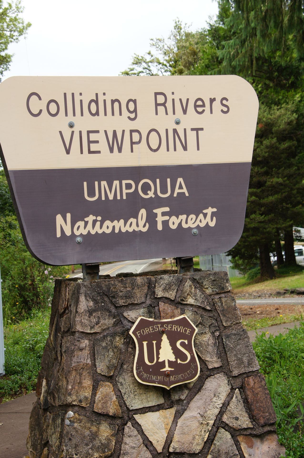
So now we're heading away from the coast to the east on Highway 138 and we're initially accompanied by the Coquille River. The landscape opens up to a wide, green valley framed by gentle hills. In Glide we see the unique spectacle of two intersecting rivers. The Little River and the North Umpqua meet here foaming and you can observe this spectacle from a bridge.

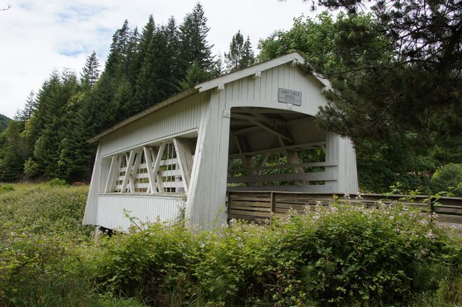
In Roseburg it is supposed to be beautiful and there are supposed to be covered bridges there. However, we don't see any of it, but we have already spotted a small covered bridge elsewhere. So we continue along the Scenic Byway along the North Umpqua River.
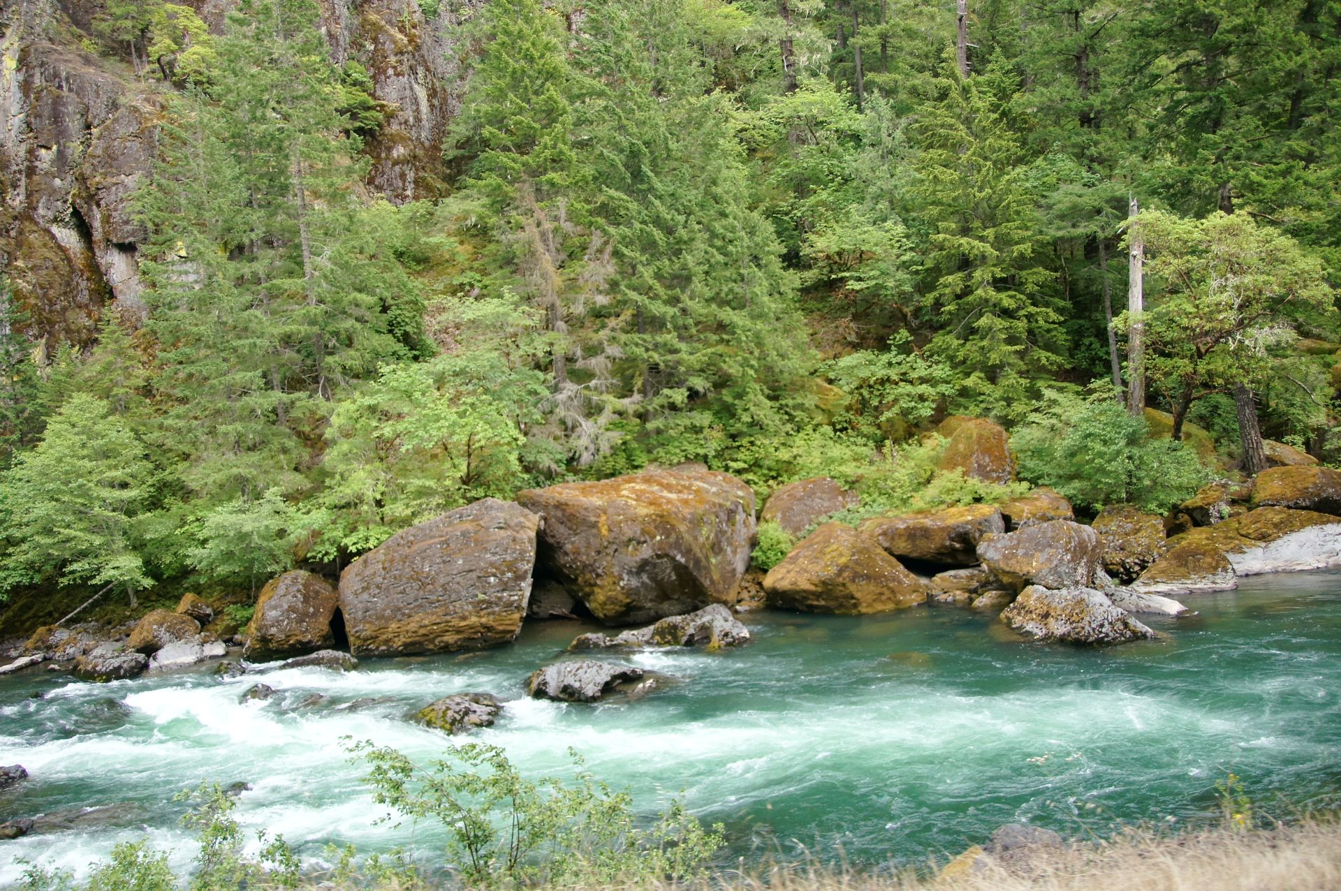
North Umpqua River
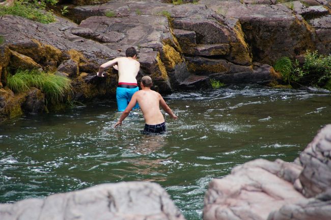
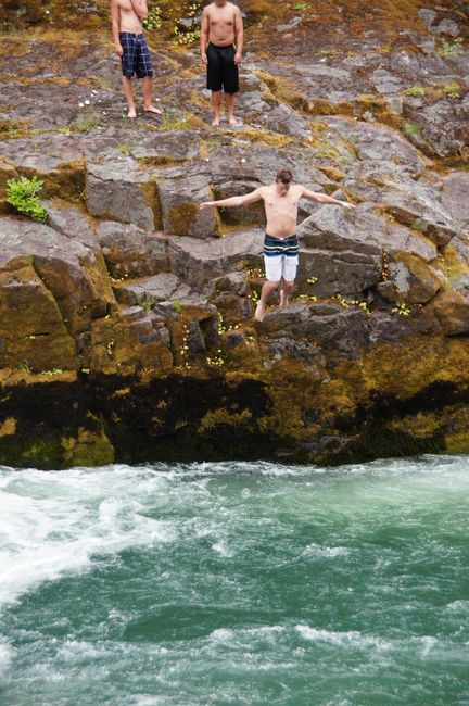
The river is emerald green and rushing fast. A mountain river with rapids that has dug a deep bed between the rocks and runs through a dense forest. We rush past it and look for Steamboat (what a name inland?!) after the exit to the Steamboat Falls, where salmon and trout jump up the small falls between May and October. On the way there, we pass a group of young people jumping from the rocks into the rapids of the surely cold river.
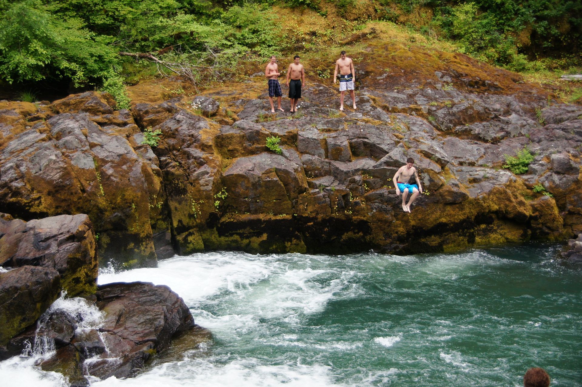
Before we get to the jumping salmon, we come across a couple who have driven their car into the ditch. We take the woman with us and drive her - against our planned route - to the Steamboat Inn, the only hotel for miles between Roseburg and Diamond Lake. There is no cell reception here, not even for the Americans. Due to this delay, the experience of the jumping salmon is now cancelled and we head towards accommodation, as it is already 6:30 pm.
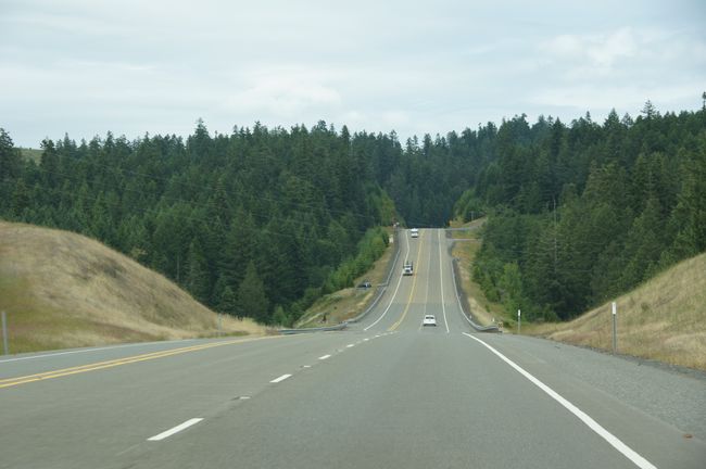
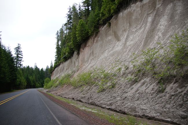
The drive continues along the North Umpqua River and soon the road rises to 1,500m. The road runs constantly through dense forest now and there haven't been any towns for many miles, let alone gas stations, restaurants, or motels.

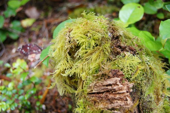
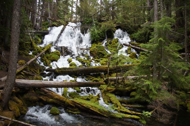
However, there are millions of campsites and hiking trails. Just before Diamond Lake we reach one of the picturesque waterfalls nestled in the forest. It cascades over bright green moss-covered stones. However, as soon as we leave the car and stop, we are attacked by dozens of mosquitoes that suck our blood. Swatting at them, we reach the waterfalls, wonder about other people there in shorts, and quickly stumble back to the car after taking two photos. The next point is the Diamond Lake Lookout, which is slightly elevated.

Mount Bailey at Diamond Lake
In front of us is the lake and behind it is Mount Bailey, a "shield volcano" over 2,500m high and part of the Cascade Range that runs north to south in Oregon. Shield volcanoes are formed by the flow of very low-viscosity and low-gas lava, which leads to very distinctive shapes, specifically these shield volcanoes.
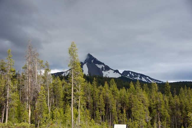
The mosquitoes are relentless and it is difficult for us to enjoy the beautiful view here. Behind us is the 2,700m high Mount Thielsen.

Mount Thielsen
We are here in the middle of the Umpqua National Forest and the view is actually fantastic over Diamond Lake where we have accommodation today.
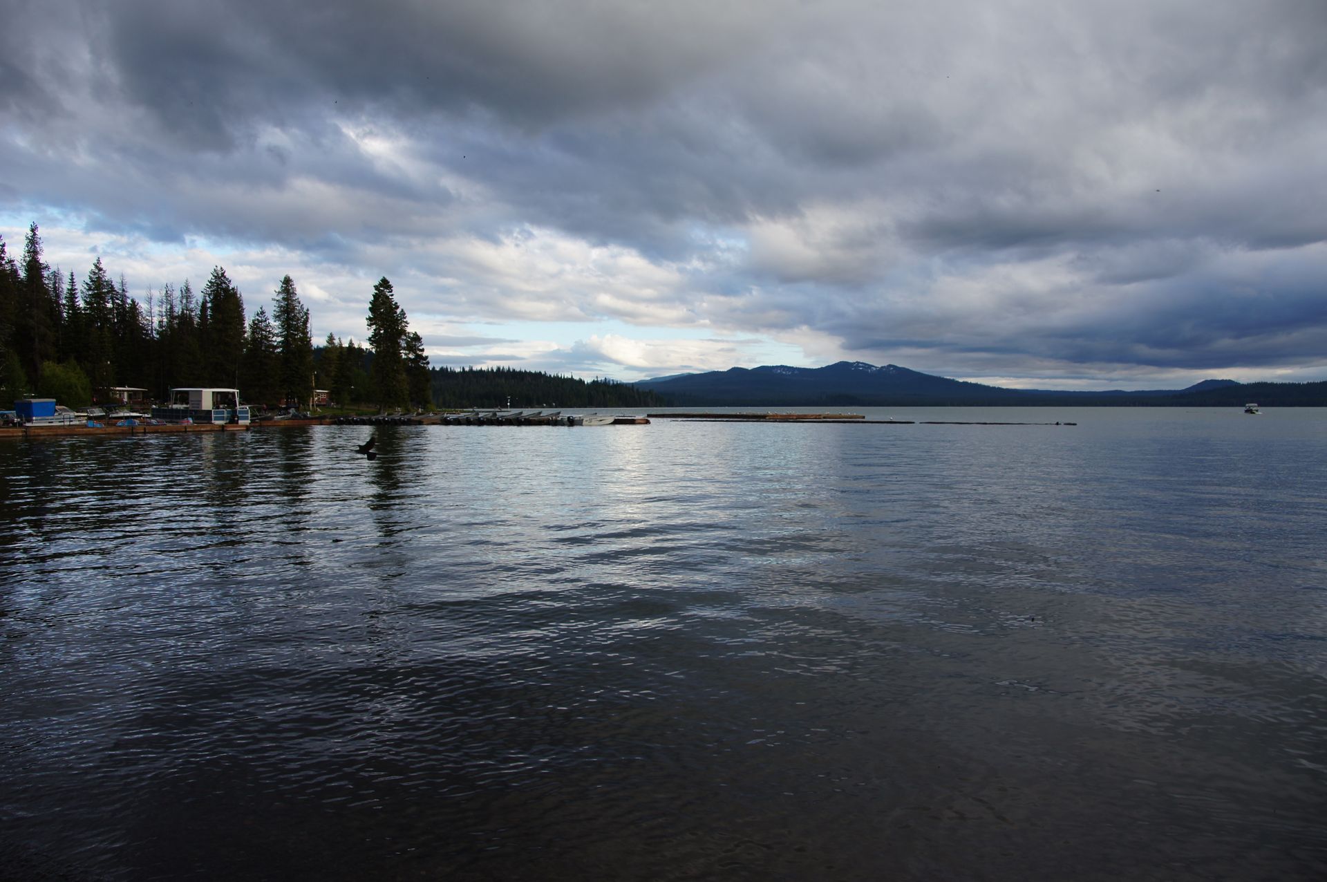
Diamond Lake - more like a black diamond...
So we quickly flee from the bloodsuckers back to the car and drive to the Diamond Lake Lodge, which appears to be very basic. Here there are spaces for motorhomes as well as motel rooms, of which we have booked one. For $99 in the season, that's a good price, but the performance is not very convincing and very basic.

Diamond Lake Lodge


But it is the first hotel since Roseburg, which is about 80 miles behind us, apart from the Steamboat Inn where we dropped off the injured woman a while ago. First, we try to get into the room without mosquitoes, and then we end up killing another 10-15 mosquitoes.

We quickly eat a soup in the hotel's restaurant and enjoy the view of the lake and mountain through a window where millions of mosquitoes are pressing their noses. We walk along the shore for a short while, but due to the mosquitoes, really only for a very short while. A break by the fireplace in the reception area is cozy and provides Wi-Fi. We're in the room at 10 pm, kill a few more mosquitoes, and then it's quiet.

Total distance: 229 miles
Harpidetu Buletinera
Erantzun
Bidaien txostenak AEB
