Neuseeland: 8000km solo durch das schönste Ende der Welt
vakantio.de/8000km_durch_neuseeland
Day 37 - Ciao West Coast - heading north
Wotae: 09.08.2019

Wɔ Nudɔdɔ na Nyadzɔdzɔgbalẽ
20.01.2015
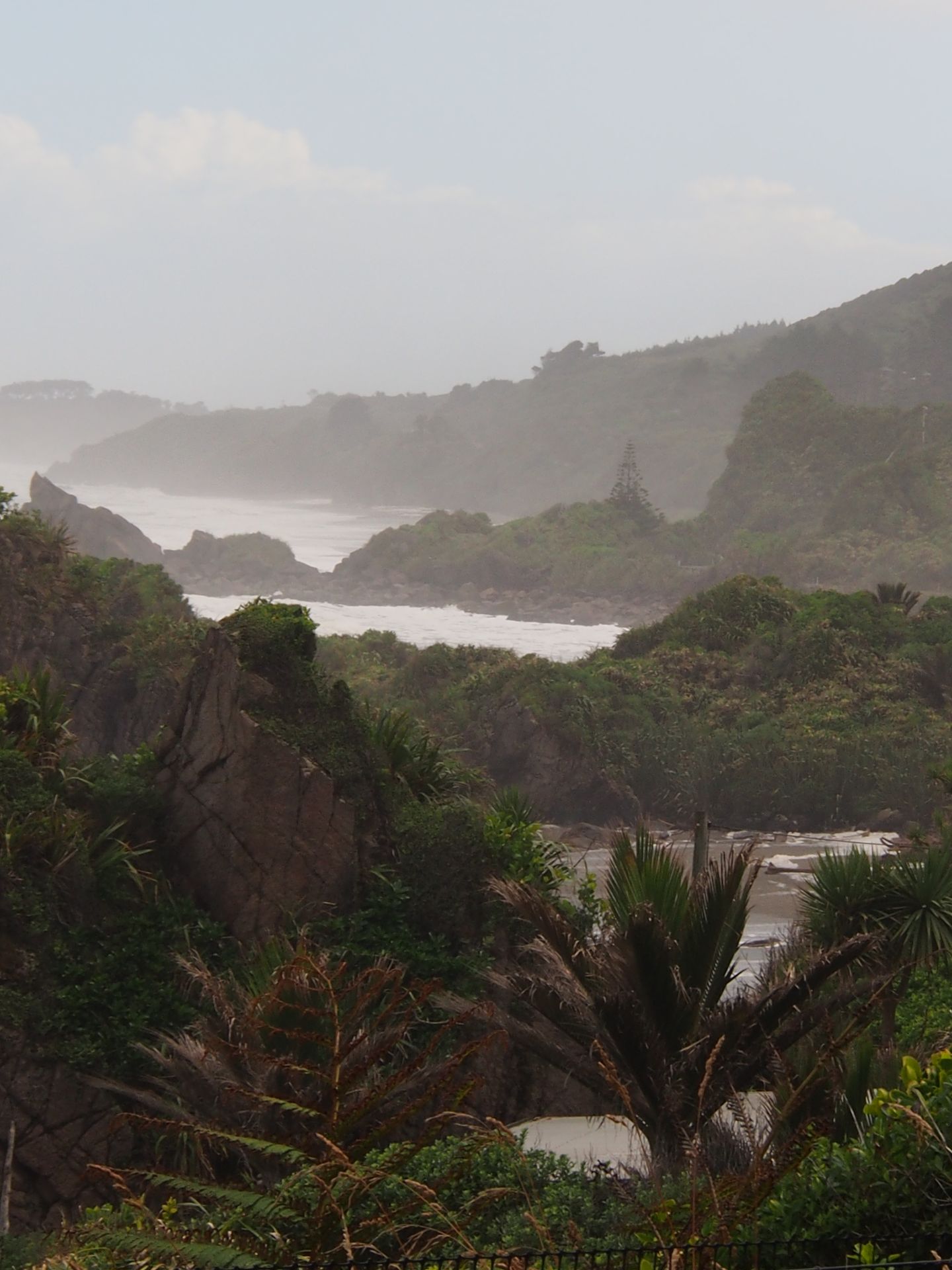
When I wake up at 8:00 am, it's pouring rain. I'm getting tired of the West Coast. Today, I will drive all the way up to Abel Tasman in a long and annoying journey. I don't want another day with this lousy weather. When I grab a coffee at the pub across the street, the sun is already shining again and the humidity rises from the trees on the rock wall behind the hotel.
It's not as cold as it looks with 14 degrees Celsius. I had considered taking a walk on a track along a river, which starts 100m behind the hotel and only takes 1.5 hours, but considering the heavy rain of the last few hours and the overall uncertain weather, I give up. I don't feel like slipping on muddy forest paths, putting on and taking off rain gear every 10 minutes, and getting tormented by bloodsuckers on top of it all.
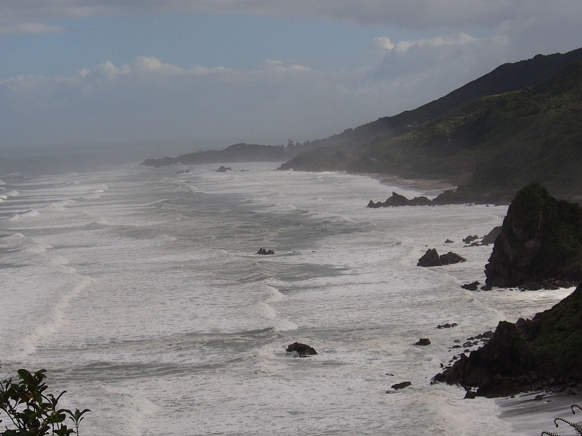
A quick look at the beach shows that it's high tide now. The surf is powerful and it looks pretty intense in this long bay. There are not more than 3 people brave enough to go into the water. Together with a cormorant, I briefly observe the play of the waves and then drive off. Within the first 9 kilometers, I have already been caught in 3 rain showers and drive accordingly cautiously on the extremely curvy coastal road. Actually, the views are too beautiful not to stop here - if it were possible. A penguin warning sign surprises me here. What kind of penguins can be found here?
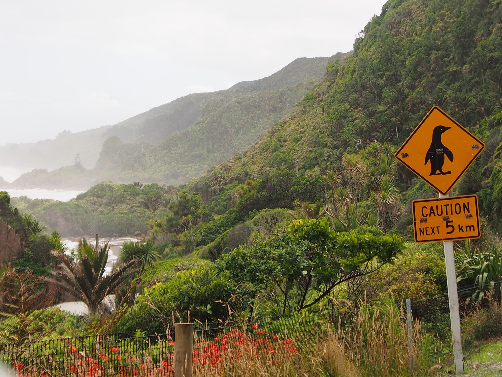
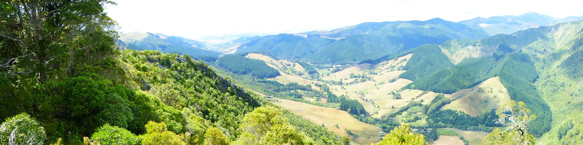
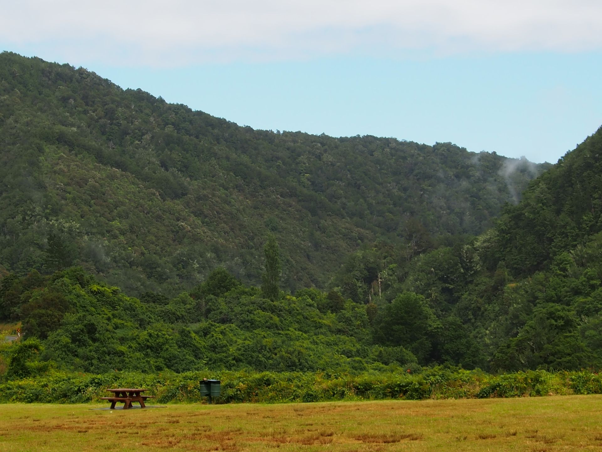
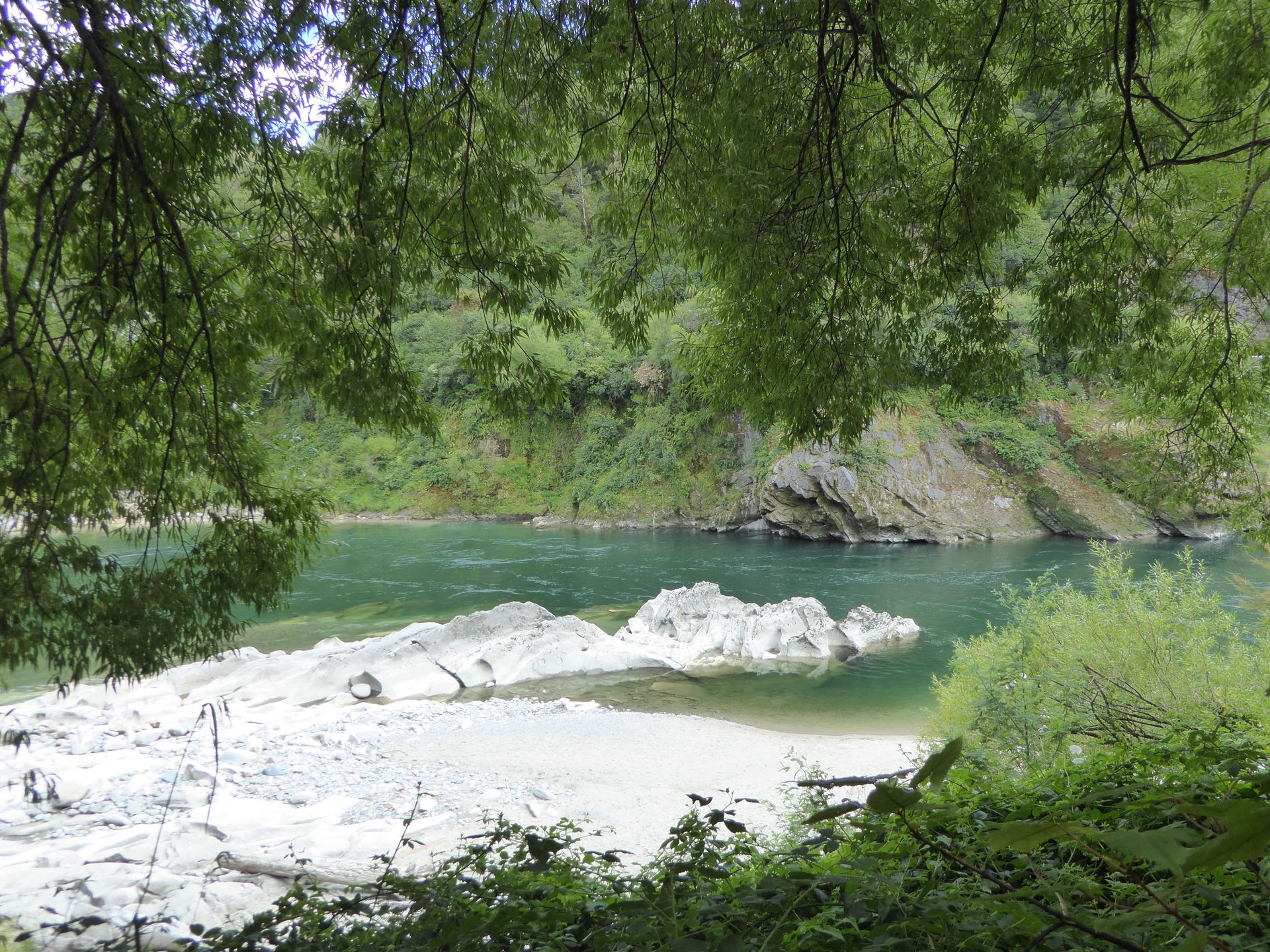
The steep coastline is easily 20 to 30 meters high - do the penguins climb up there? Well, I don't see any penguins and I wind my way along the road, sometimes at a snail's pace, so as not to fly off the curve. My route does not lead to Westport, but passes east of it and then into the mountains. Next to me runs the Buller river, which flows into the sea at Westport. It has carved a deep gorge for many kilometers, which is sometimes wider and sometimes narrower. The drive through the Lower Buller Gorge is already breathtaking.
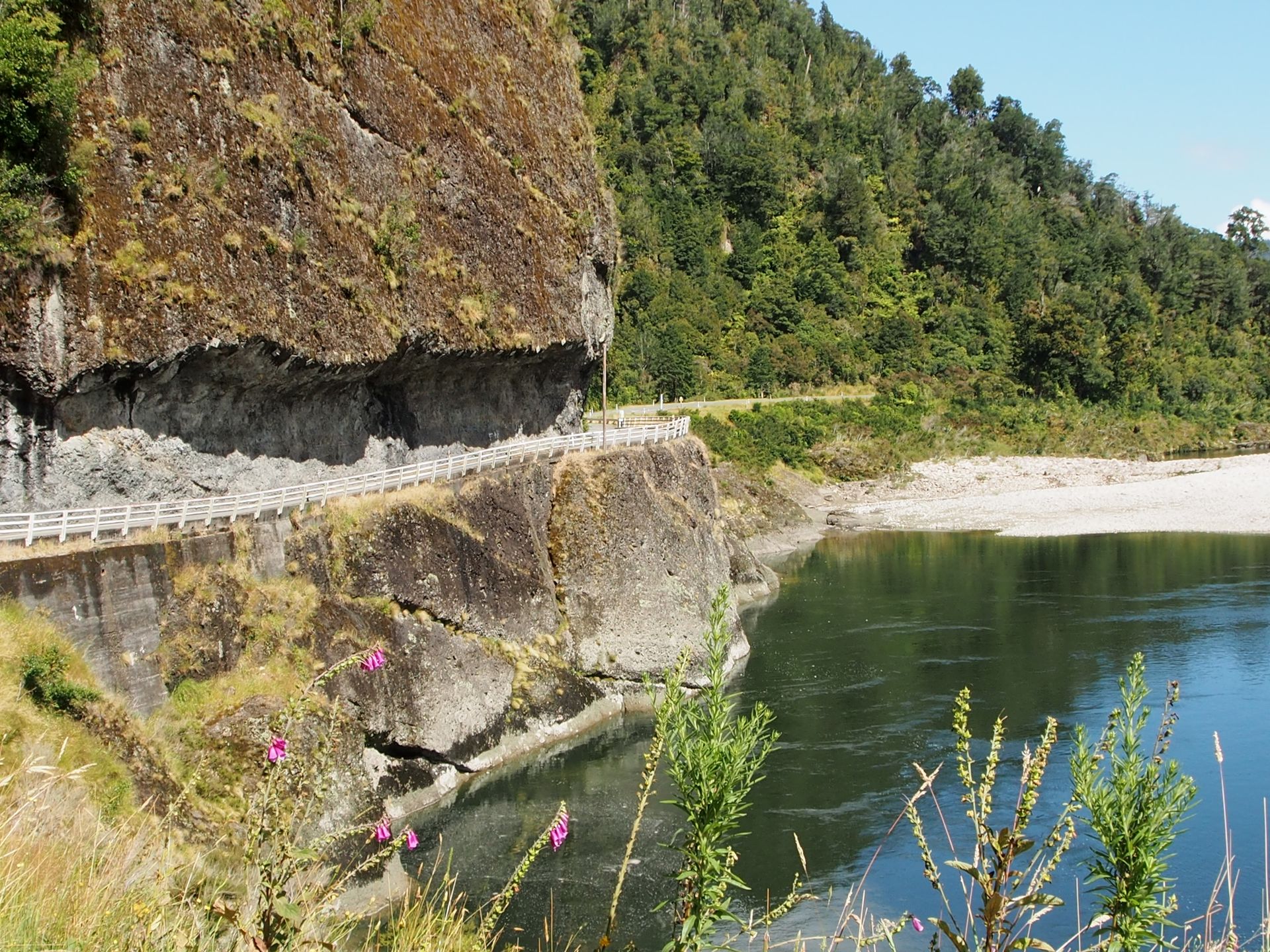
Shorter sections are so narrow that there are not one-lane bridges, but one-lane sections. Sometimes under rock overhangs that look very low. But since I'm constantly annoyed by trucks, apparently they are high enough for them. The visibility of oncoming traffic - even on these one-lane sections - is zero. You really have to feel your way forward. Since I'm driving on the slope, a collision doesn't seem right to me...


Lower Buller Gorge
I pass through the town of Berlins, which consists of exactly one house - a café! Nevertheless, I keep driving because the route seems to be very long due to the many curves. Unfortunately, I have to drive almost 300km today and currently have an average speed of less than 50 km/h.
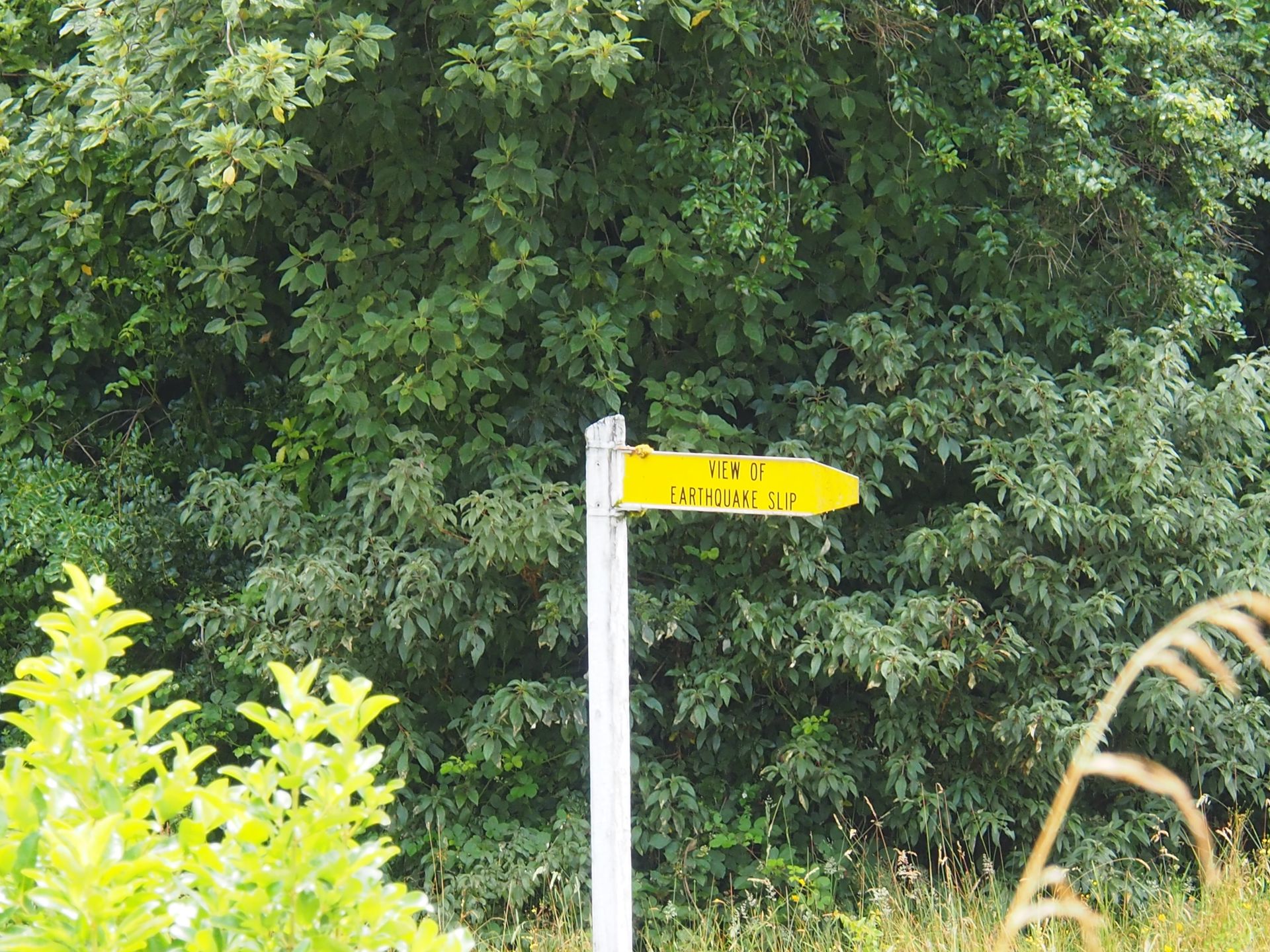
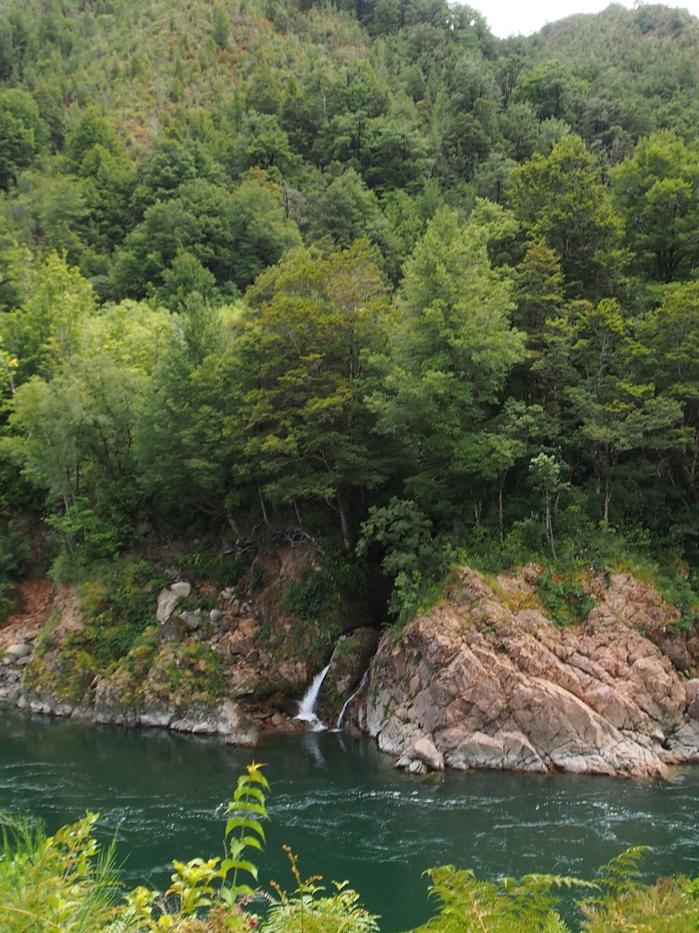
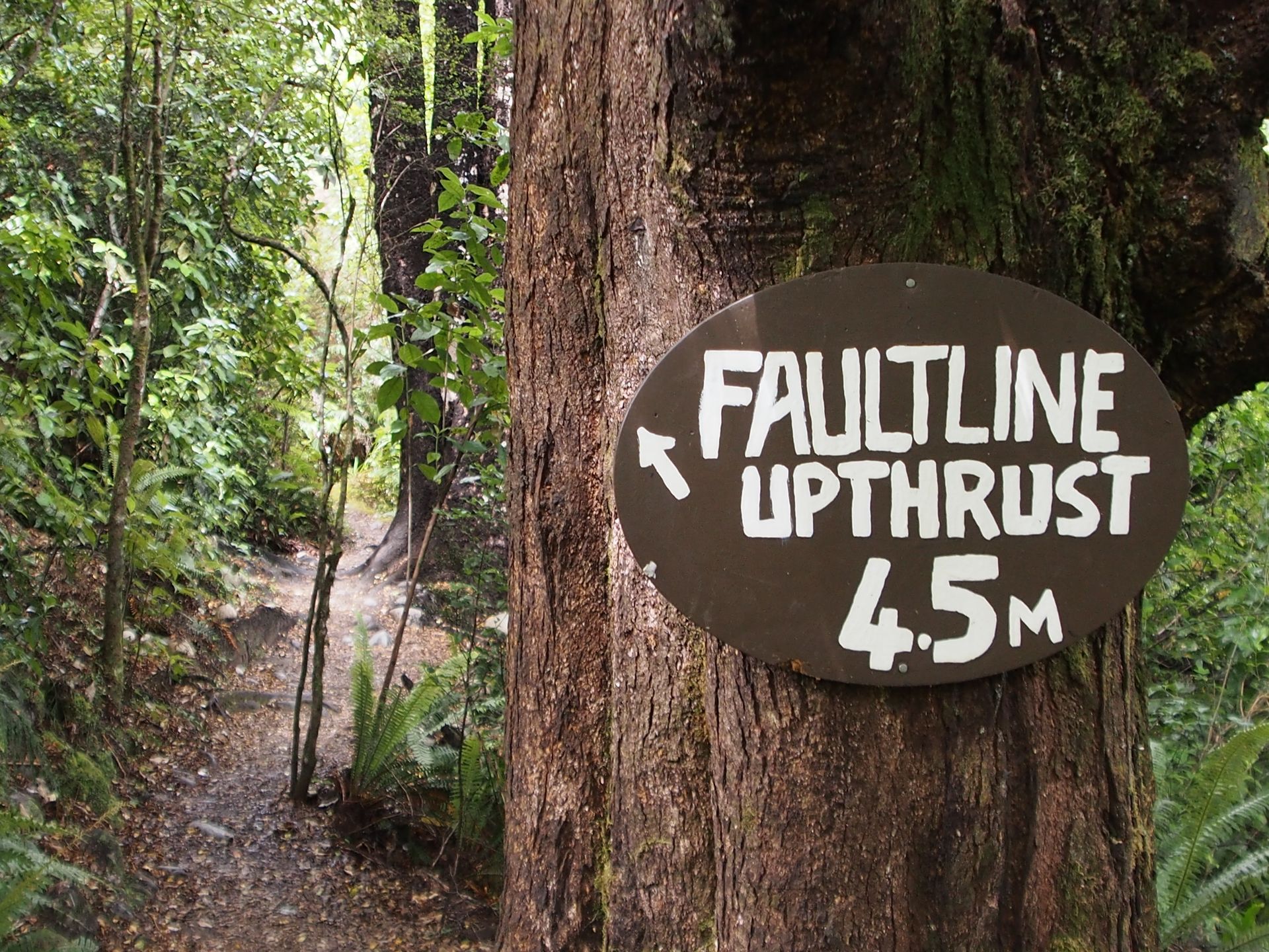
The Buller Gorge runs over a fold in the Earth's crust. There have been several very strong earthquakes here. Landslides and complete mountain splits can be seen here, as well as the uplifting of land by 4.50m during an earthquake in 1929 or a small 10m high waterfall in the river that also originated during the earthquake back then. Tremendous forces are at work here and I am once again glad that my little earthquake in Te Anau remained as small as it was. The river is an internationally renowned area for canoeing. The further east I go, the wilder the river seems to be.
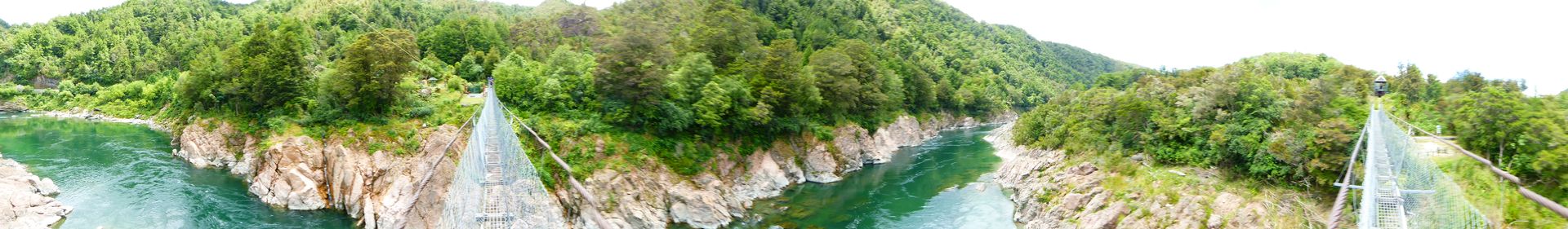
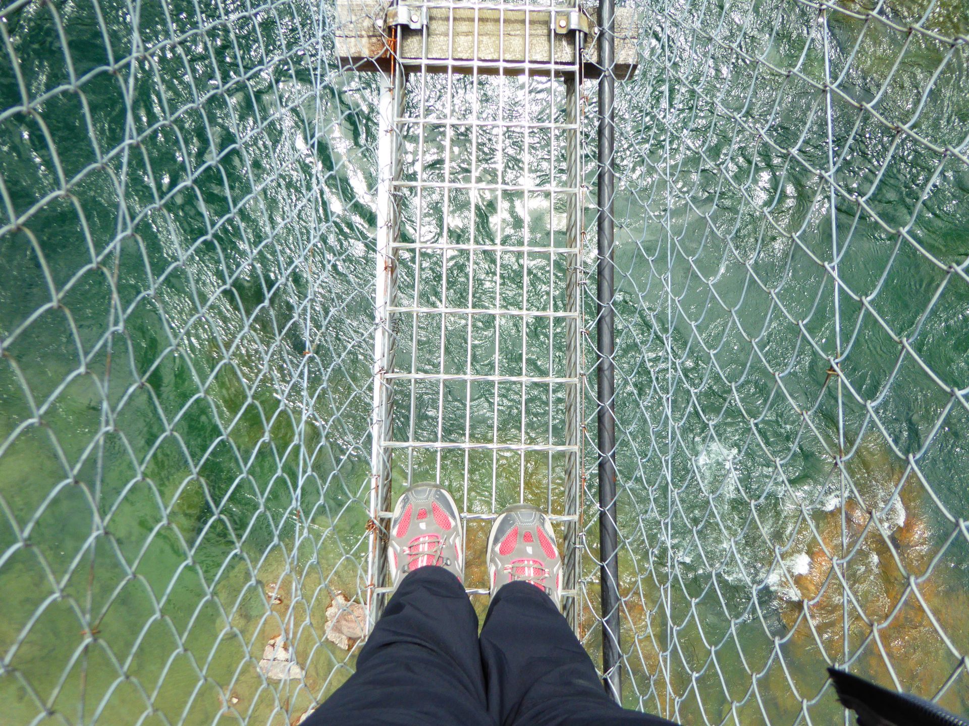
Shortly after 12:00 pm, I take a short break at the The Buller Gorge Swingbridge, buy a ticket for 10 dollars and walk across this very long suspension bridge. It's not easy to keep the camera steady when you're on the bridge with multiple people (going in one direction).

You can't go past each other on this narrow suspension bridge. Therefore, people at the other end always have to wait until the oncoming ones have firm ground under their feet.
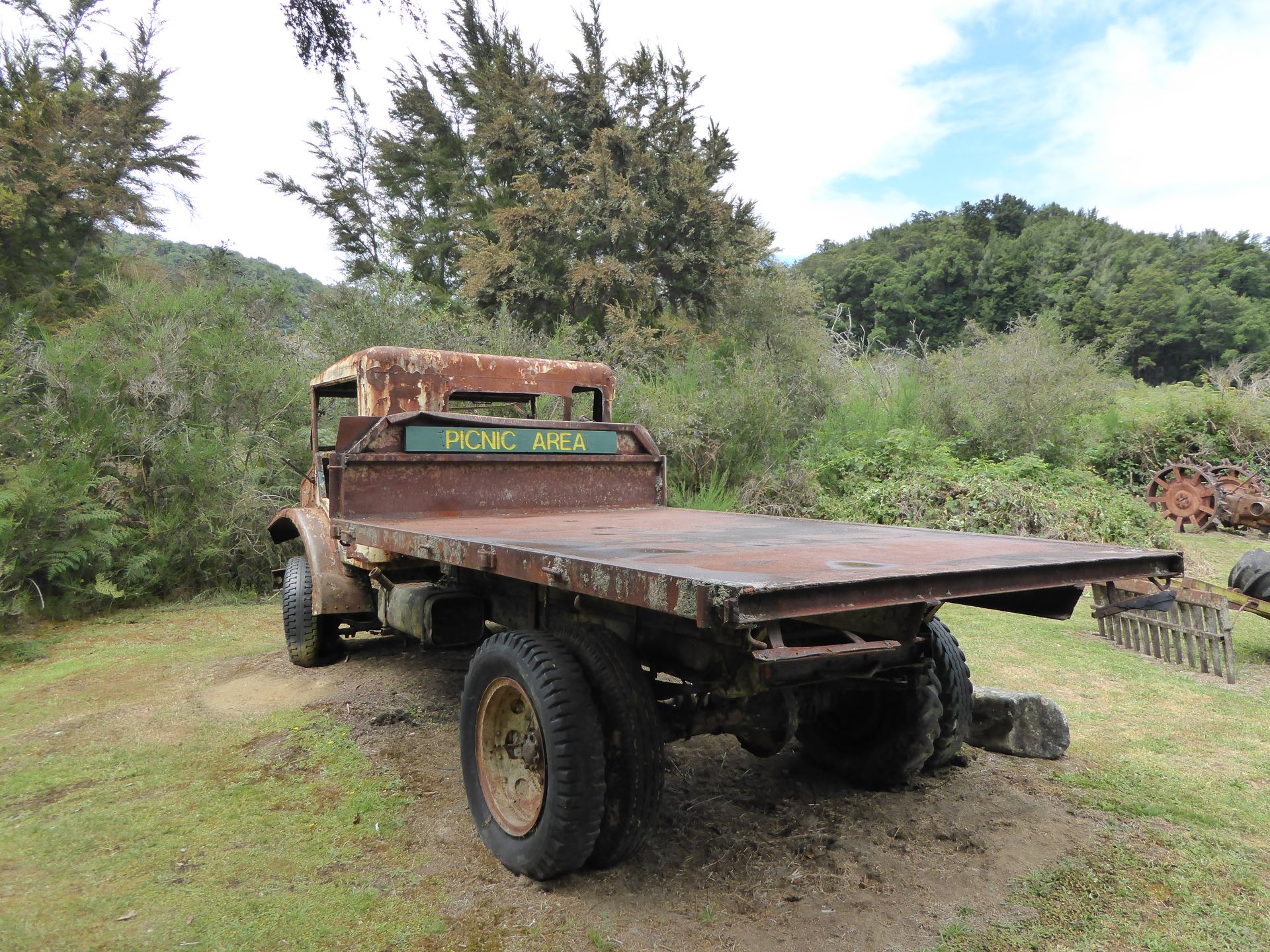
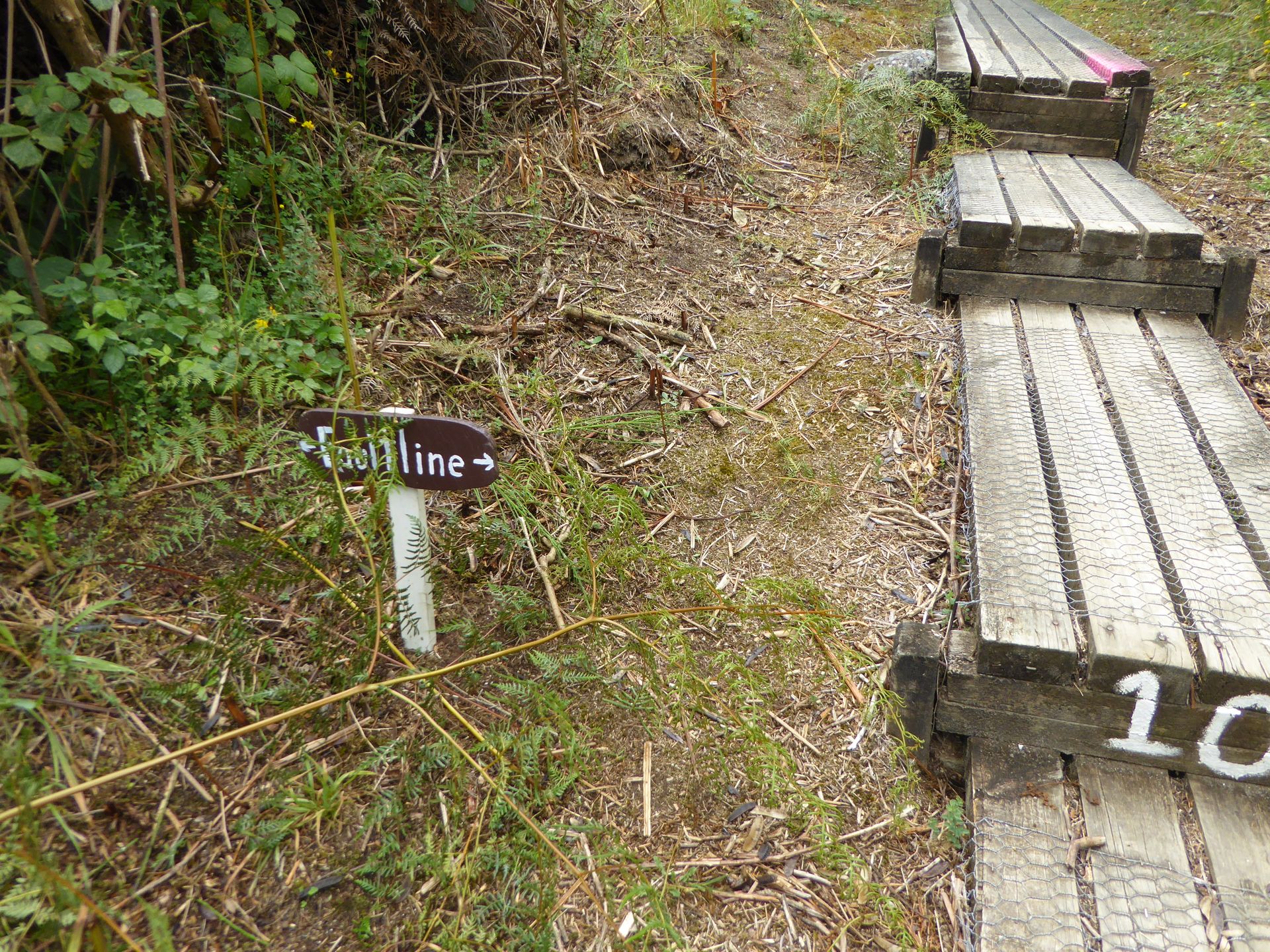
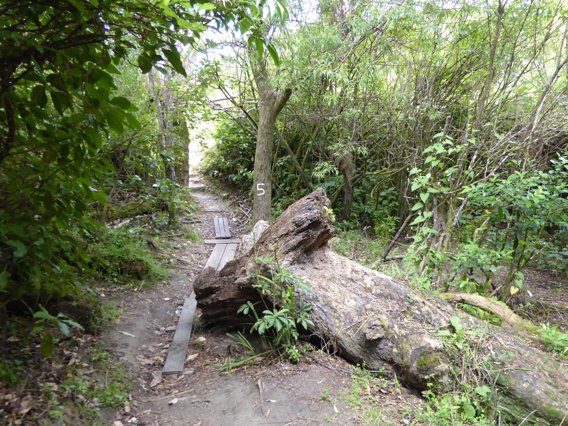
On the other side of the bridge, there is a poorly prepared forest path, along which you can either have a look at one of the many faults from the earthquake 85 years ago, or see some rusty objects supposedly from the gold rush (or placed there for tourists to admire). Except for the suspension bridge, this is not a highlight now.

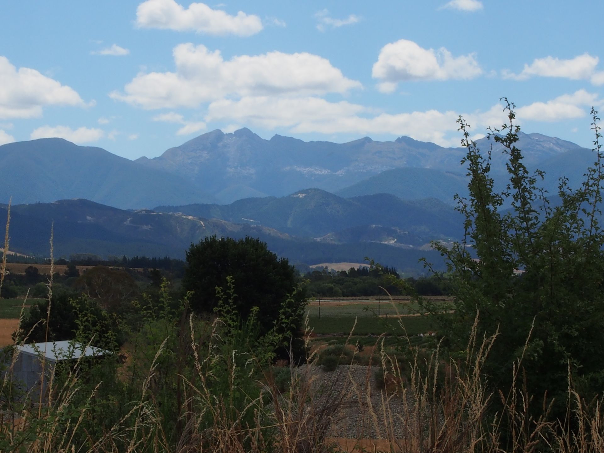
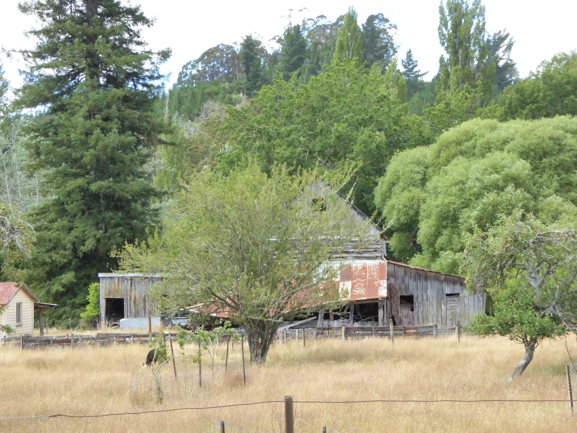
Shortly before 1:00 pm, I continue driving and follow the gorge as I continue winding through the mountains. Eventually, the panorama opens up in front of me and I look into a valley with pastures, agriculture, and a lot of hop cultivation. In between, there are partly completely rotten houses, sometimes apparently still inhabited. Around 3:00 pm, I see the first field irrigation and know that there is less rain here. That makes me happy.
After a total of 6 hours since Punakaiki, I finally reach Motueka after having to go through another valley. I thought it would be better here than in Nelson when I want to go to Abel Tasman tomorrow. Nelson is another 50km further away, which would mean a journey of over an hour for me tomorrow. Because all the boat tours start in Kaiteriteri, which is 13 km away from Motueka (so over 60 km from Nelson).
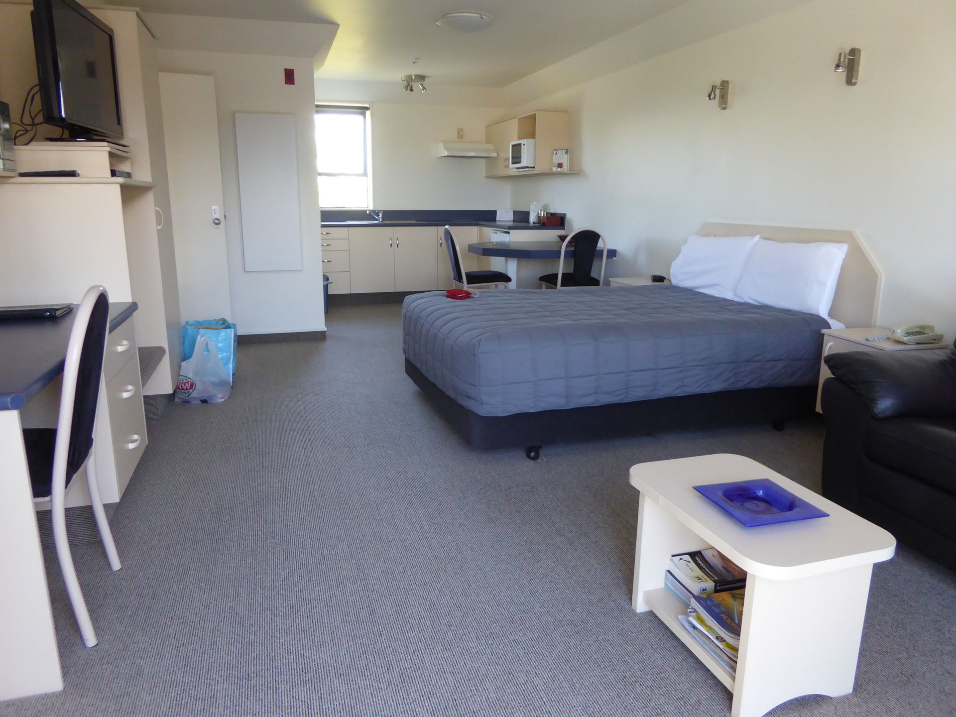
From the very first moment, Motueka annoys me. It's crowded, the main street is a traffic jam, the town is small but very stretched out. Now the search for a motel begins, which proves to be extremely difficult. Either there is a 3-room apartment for the corresponding price, or they forgot to take off the vacancy sign outside and are fully booked, or there is something in a completely remote motel located behind the car dealers' junkyards. In the end, I have to stay in a motel that is way too upscale for me and to make matters worse, it costs 160 dollars. That means I will only stay here for two days and my visit to Abel Tasman will be limited to tomorrow. In addition, I will be self-catering again for two days and bread with cheese will be on the menu again. That's not a big deal, but this hotel rip-off is really getting on my nerves. Here is one of the most popular national parks nearby, and they charge a high price for it. Understandable, but today I'm just fed up with it.
With a gloomy mood, I get back in the car after check-in and drive to the i-SITE to get information about trips to Abel Tasman. Since it can only be reached by boat and there are a lot of options to get there, I wanted some kind of advice. The i-SITE is so crowded that I leave after 10 minutes and go directly to one of the boat providers and just book something. I actually wanted to go hiking in Abel Tasman, but I'm getting a bit exhausted from driving around, looking, reading, organizing, and I want to rest somewhere for a day and I had planned to hike for another day. Now I'm staying here for only two nights, so just one full day, and I'm looking for something where I don't have to hike too much. I choose a tour that starts in Kaiteriteri at 1:00 pm and leads to a beach where you can take a 2-hour hike and then spend about 1 hour on the beach before the boat picks you up again. Clear. That will be booked. 65 dollars please.
I go to the New World supermarket and get bread, salad, cheese, strawberries, and cherries, and sit down with my loot on a waterfront road called Motueka Quay, which is not a pier but is located in a residential area. Surrounded by greedy seagulls, I sit there in the evening sun and read my crime novel. Behind me is low tide and even small boats are left high and dry here. The tidal range is enormous.

I check my emails - fortunately, I have the data card in my tablet, because the WiFi in this expensive motel costs an additional 5 dollars per day.
Distance traveled: 295km
Wɔ Nudɔdɔ na Nyadzɔdzɔgbalẽ
Ŋuɖoɖo

Mɔzɔzɔ ŋuti nyatakakawo New Zealand ƒe agbalẽ