Thredbo - Snow in Summer (Australia Part 27)
Cyhoeddwyd: 24.11.2018
Tanysgrifio i'r Cylchlythyr
From Albury we went to the Snowy Mountains, which truly deserve their name, as we unfortunately had to find out.

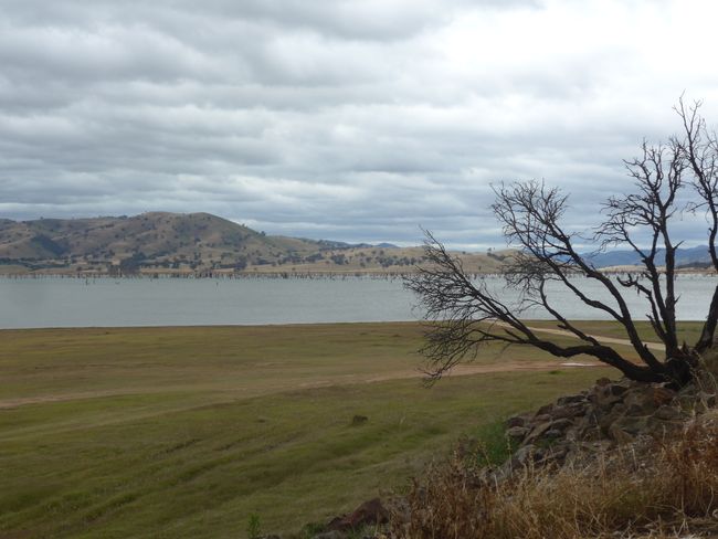
Lake Hume
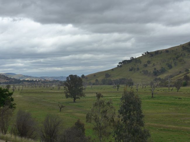
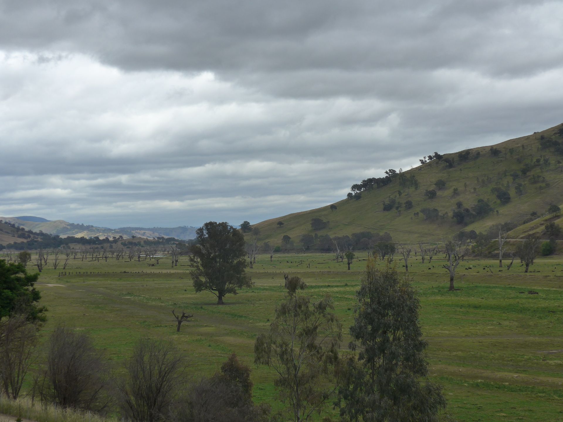
Our drive took us past the huge Lake Hume, for which the town of Tallangatta was relocated. Our guide described that from a lookout point at low water, the old town could still be seen. The water must have been very low for a long time, as the whole area was free and there were already cattle grazing there. Only some streets and foundations could be guessed from the old town.
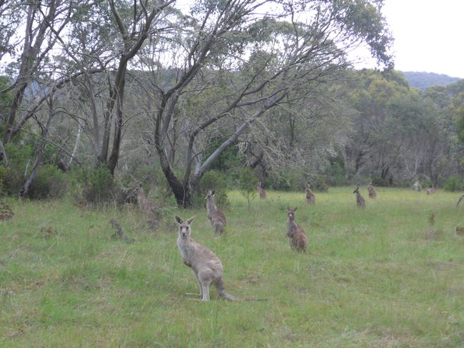
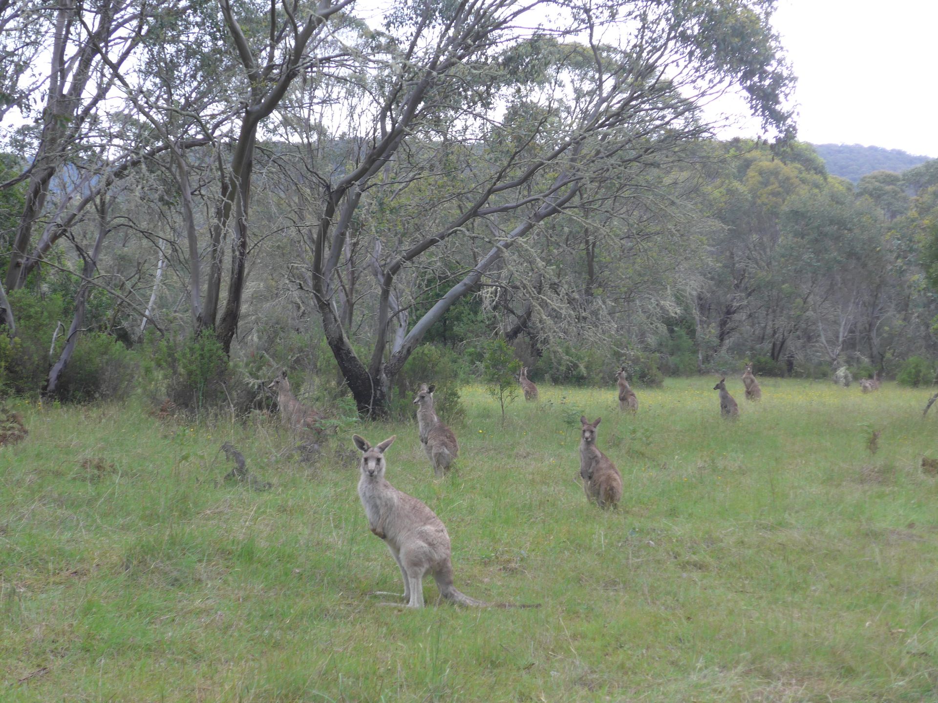
Our journey took us further into the Snowy Mountains, the part of the Australian Alps that is located in New South Wales. We drove into the Kosciuszko National Park and the weather became increasingly colder and rainier. On the side of the road we saw some kangaroos, who didn't seem to be bothered and observed us attentively as we drove by.
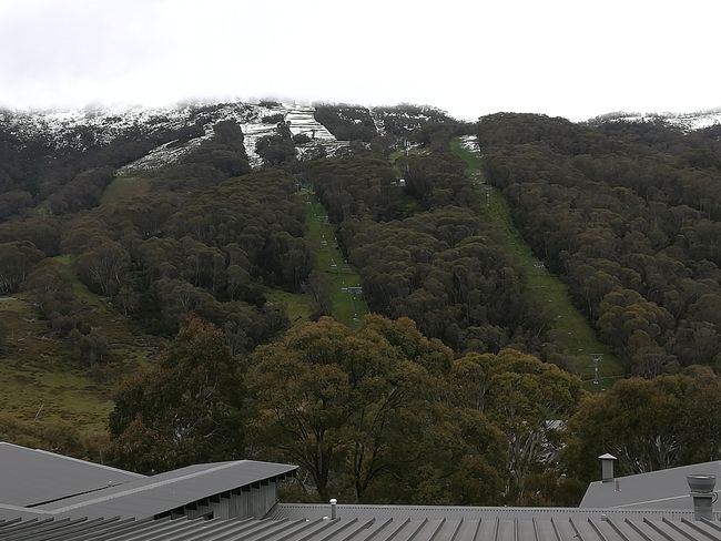
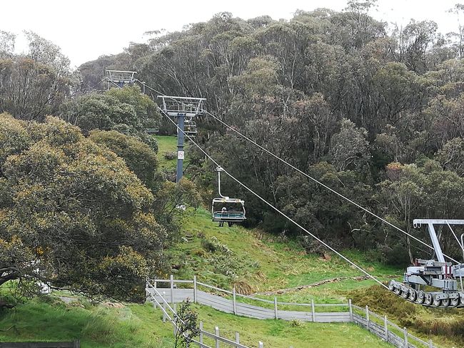
Thredbo is one of the highest villages in the Kosciuszko National Park, which started as a ski resort in the 1950s with the construction of the chairlift and the first accommodations for tourists. Today, about 250 to 300 people live in the village, while it can accommodate about 4300 tourists...

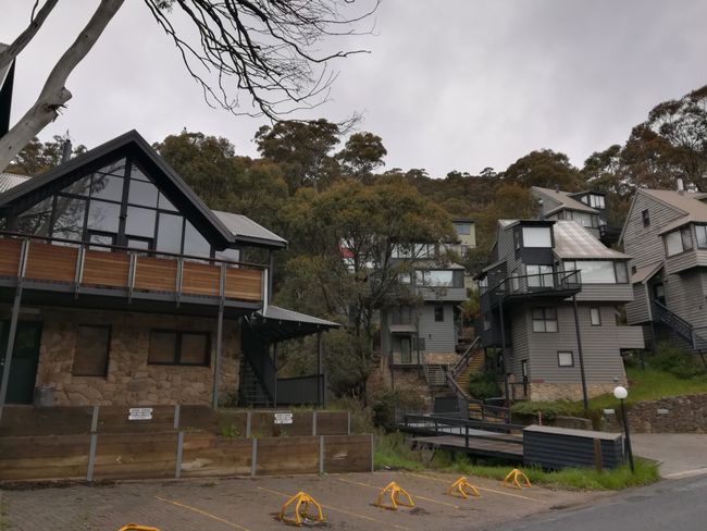
A historic town walk takes you along the 'old' houses in the village, which were built in the 1950s and 1960s. The village is a little reminiscent of a village in the Austrian Alps, especially since one of the founders worked there as a ski instructor before settling here. The houses combine European architecture with Australian elements - such as the ugly roofs that are everywhere here...
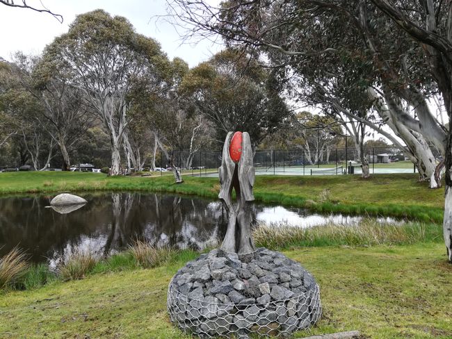
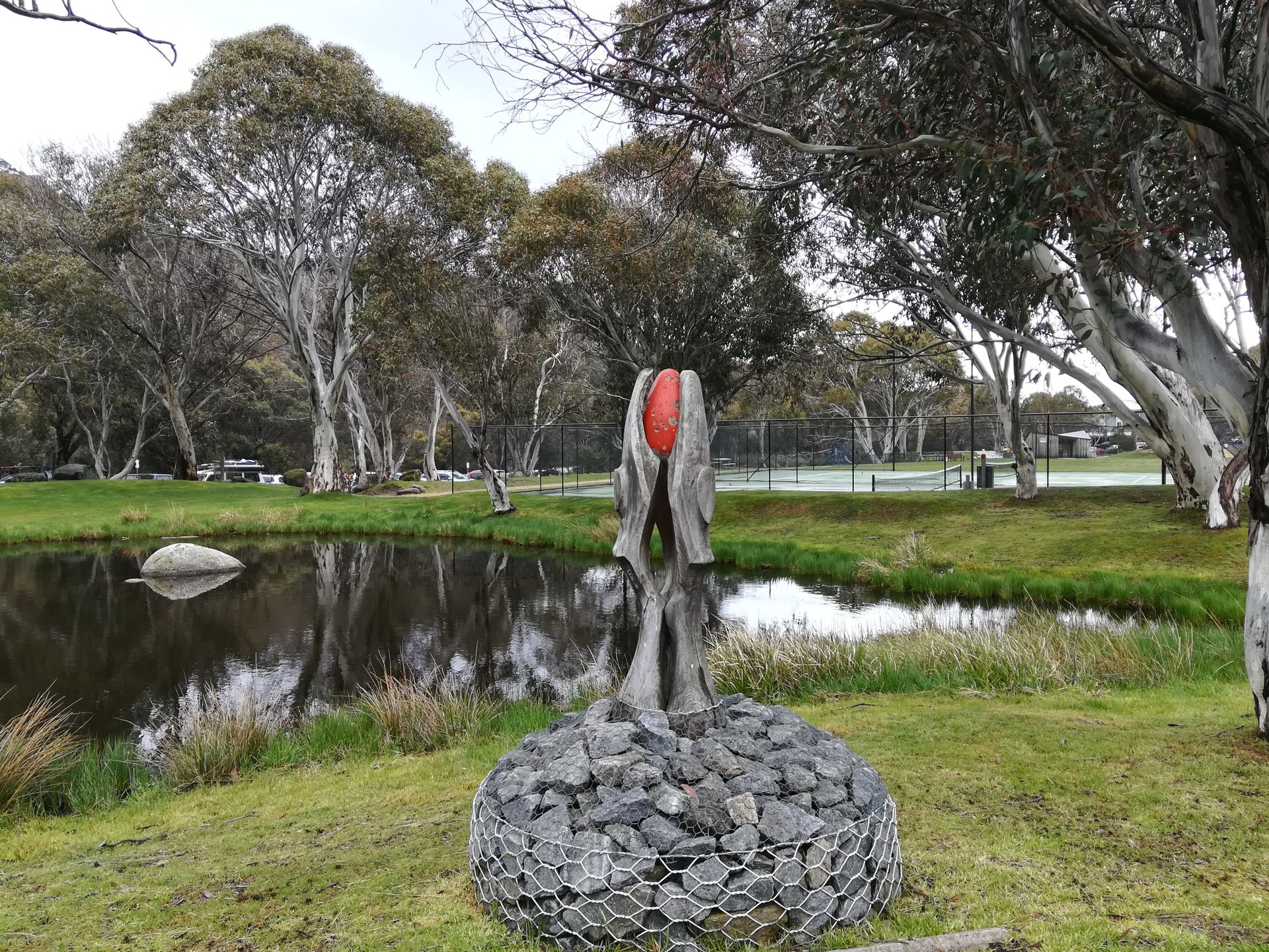
Another walk that we could do independently with an information brochure was the 'artwalk', where we could see sculptures and other artworks in the village.
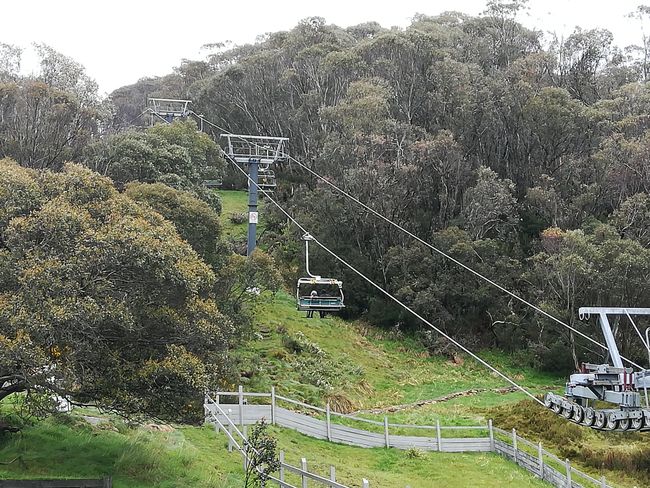
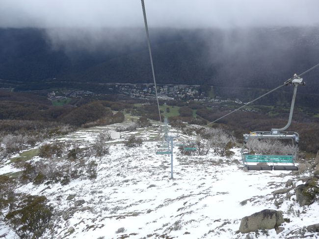
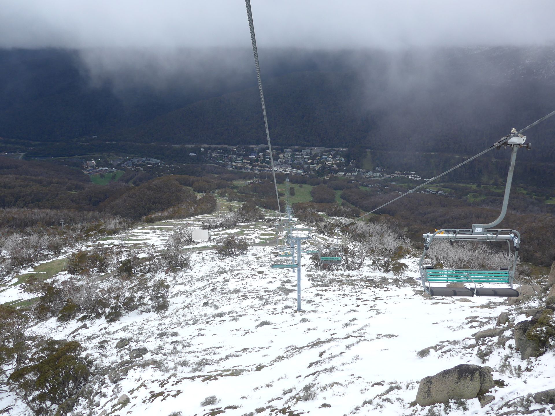
But the main attraction and the actual reason for our visit to Thredbo is Mount Kosciuszko. From Thredbo, a chairlift takes you to a height of 1930m, so that you can climb the highest mountain on the continent relatively easily, from which you are supposed to have a great view. Despite not so exhilarating weather prospects, we wanted to tackle the path and then decide on site when we had to turn back.

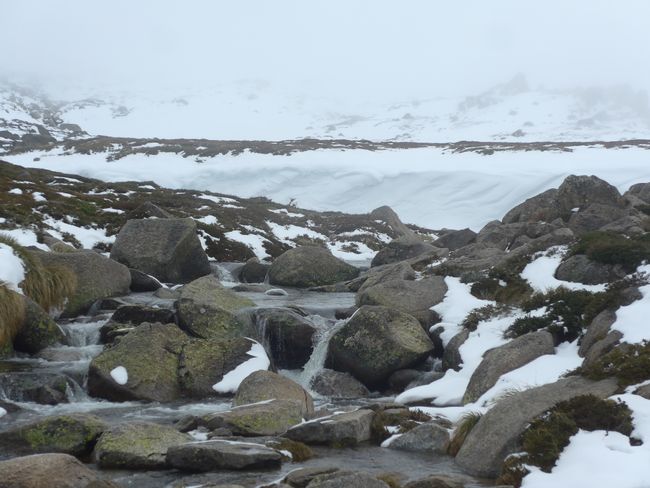
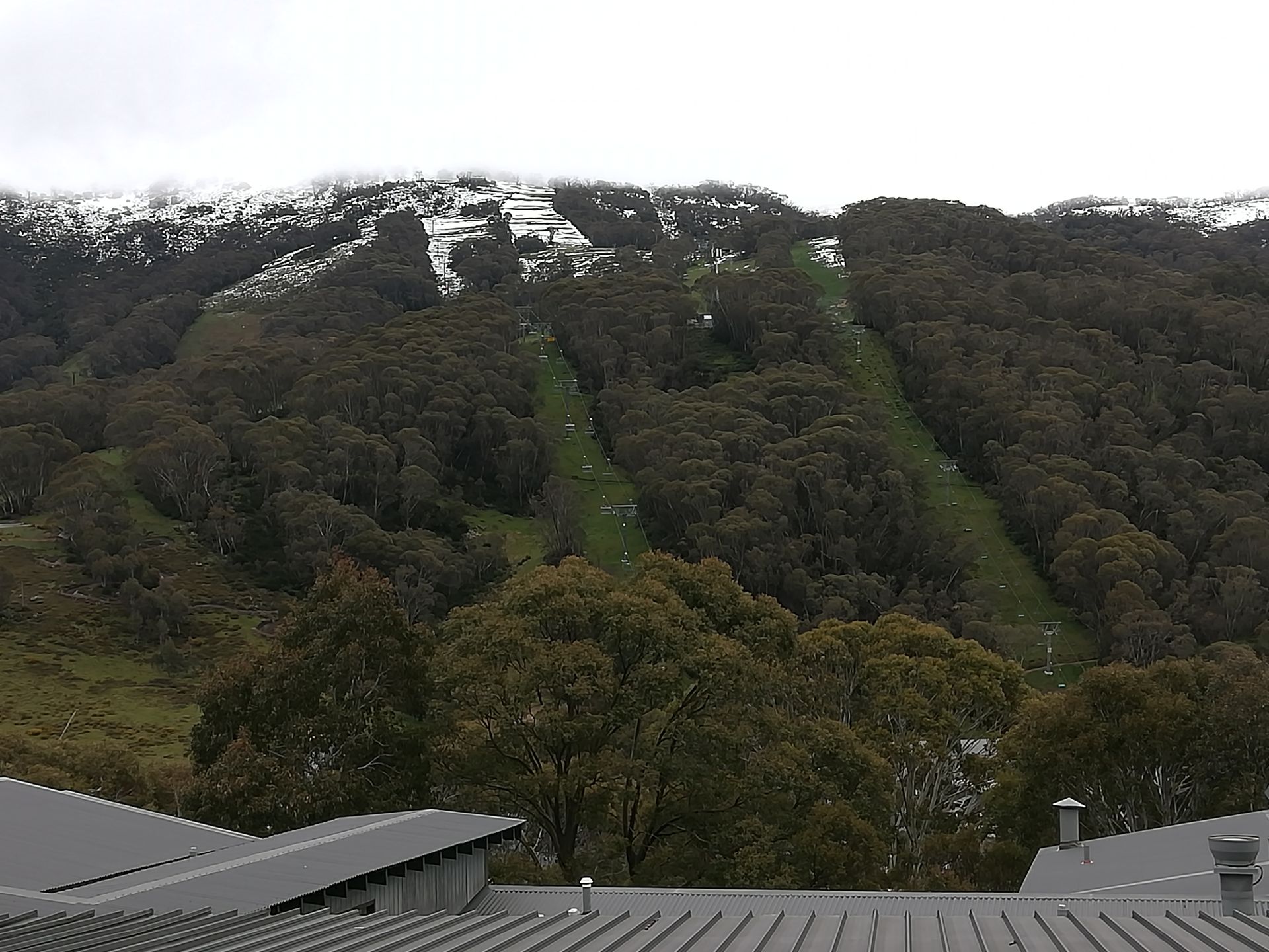
When we got off at the mountain station of the chairlift, we were surprised to see how much snow was still up here. At times, we sank up to our knees in the snow on the way.

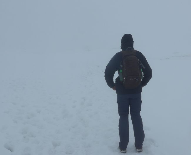
After some ups and downs of the weather, we decided to turn back about 1.5km before reaching the 6.5km long route, as the fog became thicker and the path, which consisted only of the footsteps of the hikers before us, became increasingly difficult to see.
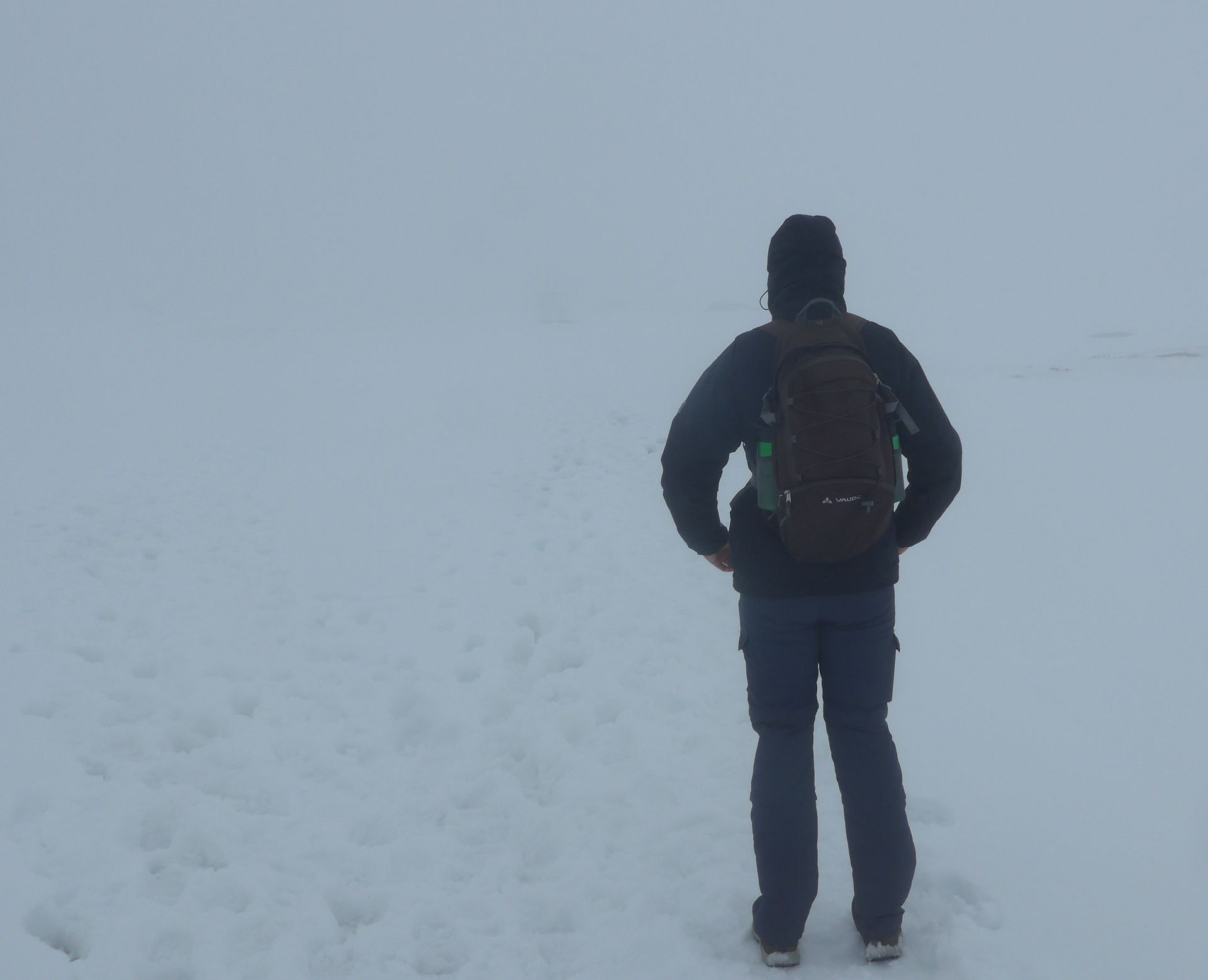
So after a nice winter walk in summer, we took the chairlift back down to the valley without having climbed the summit. However, we probably wouldn't have seen much anyway.
Tanysgrifio i'r Cylchlythyr
Ateb
Adroddiadau teithio Awstralia
