1.1.20 The wild and beautiful East Cape (Part 2) & Whakatane
প্রকাশিত হয়েছে: 15.01.2020


নিউজলেটার সদস্যতা
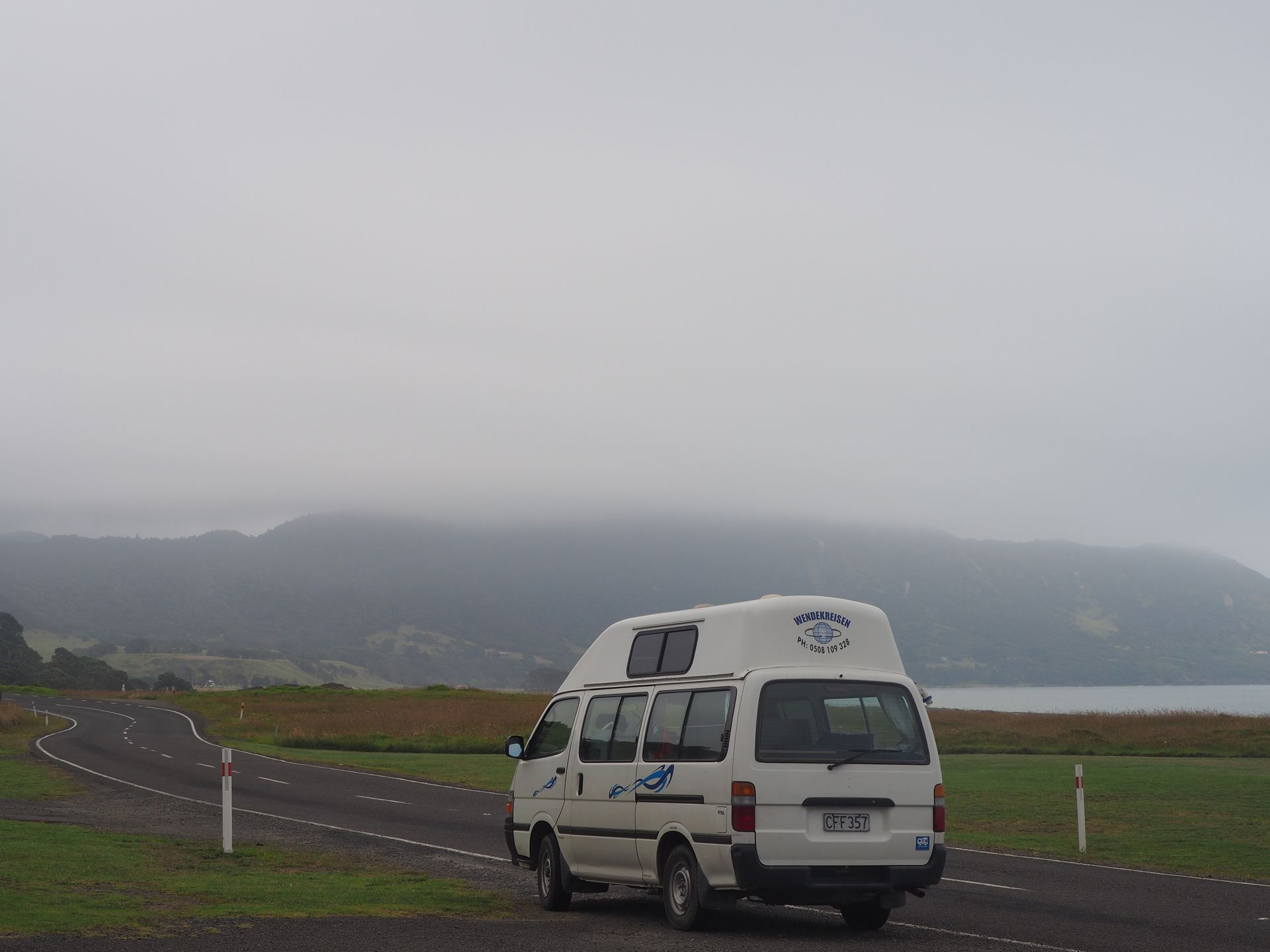
Anyone who thinks that campers get to sleep in on New Year's Day is completely mistaken. At 7:20am on 1.1.20, I stand in front of the four showers, all of which are occupied. Okay, I had breakfast at half past eight, sent some New Year's greetings, and left shortly before 9 after doing the dishes. The sky is cloudy, there is almost no wind, and mist hangs in the hills.
So I start driving, and after 6km, I realize that something strange is going on in the camper behind me. So I stop somewhere and collect the contents of the fridge 🤪. I continue driving, and the landscape is so wonderfully pristine.
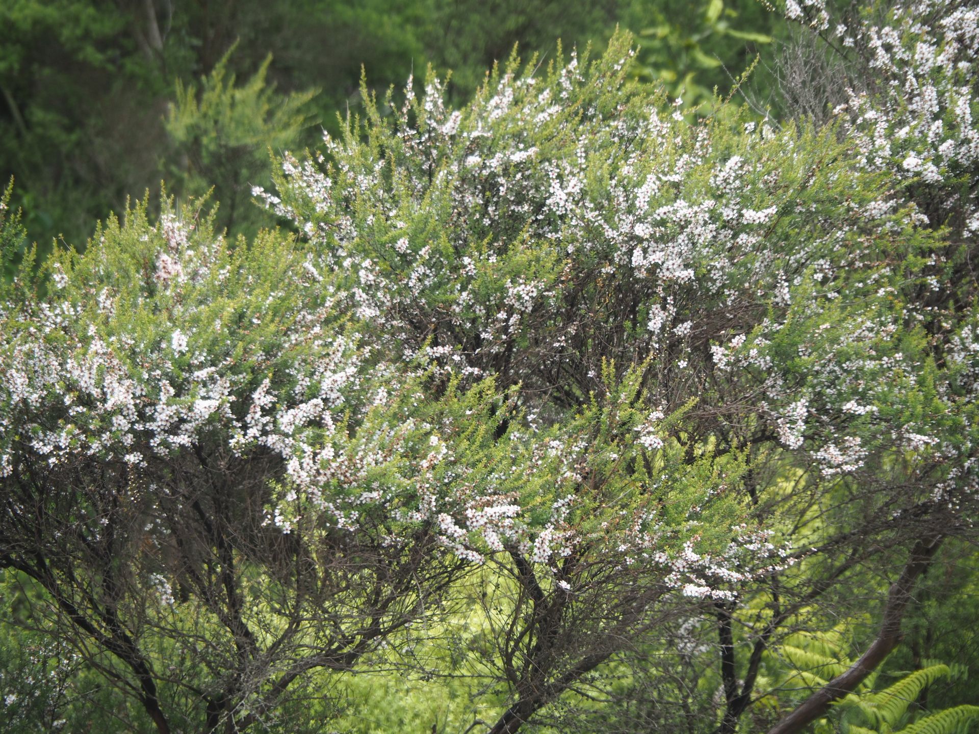
Countless tree ferns, which from a distance always look like palm trees with black trunks, but also numerous Manuka bushes, which with their graceful branches and white or pink flowers look more like ornamental shrubs, but of course serve the many bees.
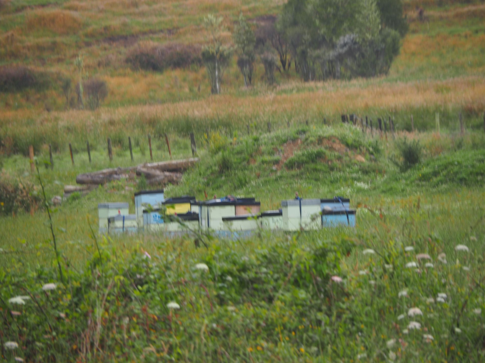
You can always see beehives along the way, while otherwise there are no visible living beings on the route. Wild and beautiful podocarps, these towering trees with their slender trunks and high canopies, can be seen everywhere in addition to non-native coniferous forest.
Flattened possums are also abundant here. And while these animals are considered cute in Tasmania, they are a nuisance in New Zealand. Like weasels, cats, dogs, and hedgehogs, they are a constant threat to kiwis. I wrote about this topic a few days ago when I "visited" the white kiwi. So dead possums and hedgehogs are nothing to be sorry about here. There was once a sign at a wool shop in Octagon, Dunedin that said "Possums - New Zealand's little speed bumps". That's how it is. Possums have incredibly soft fur, which is processed here together with merino wool into wonderfully warm socks, hats, sweaters, etc.
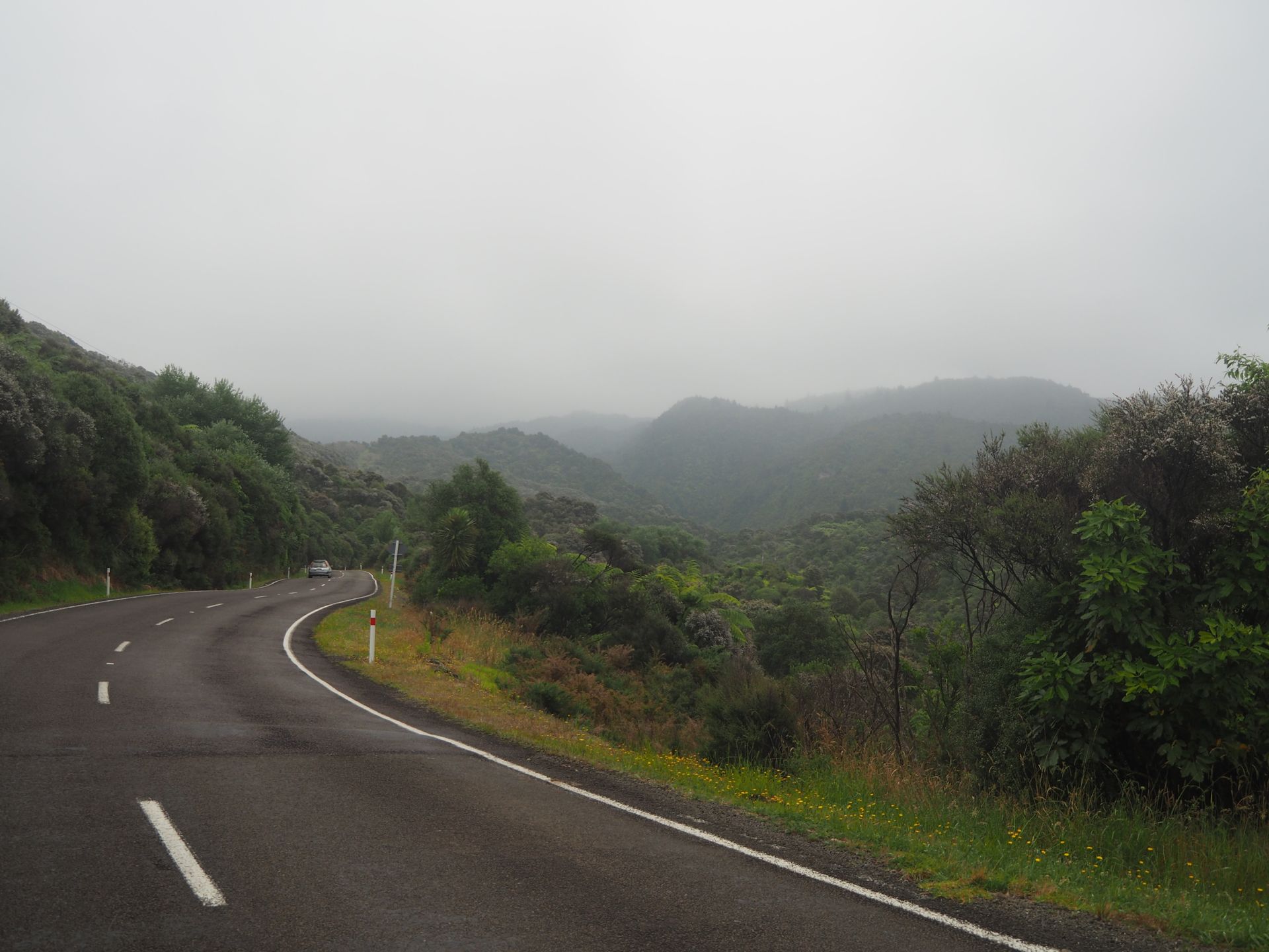
Back to East Cape... The curves are lined up one after the other, and despite my well-behaved Toy Grandpa (pronounced Toyopa, not Toy-Opa 🤣), who likes to take hills in fourth gear, I have to pull over to the left every now and then to let others pass.
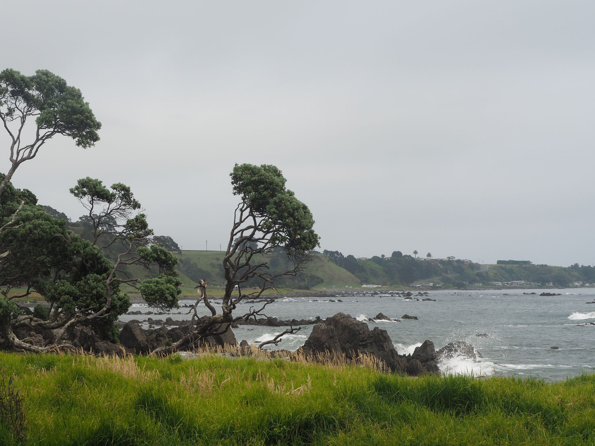
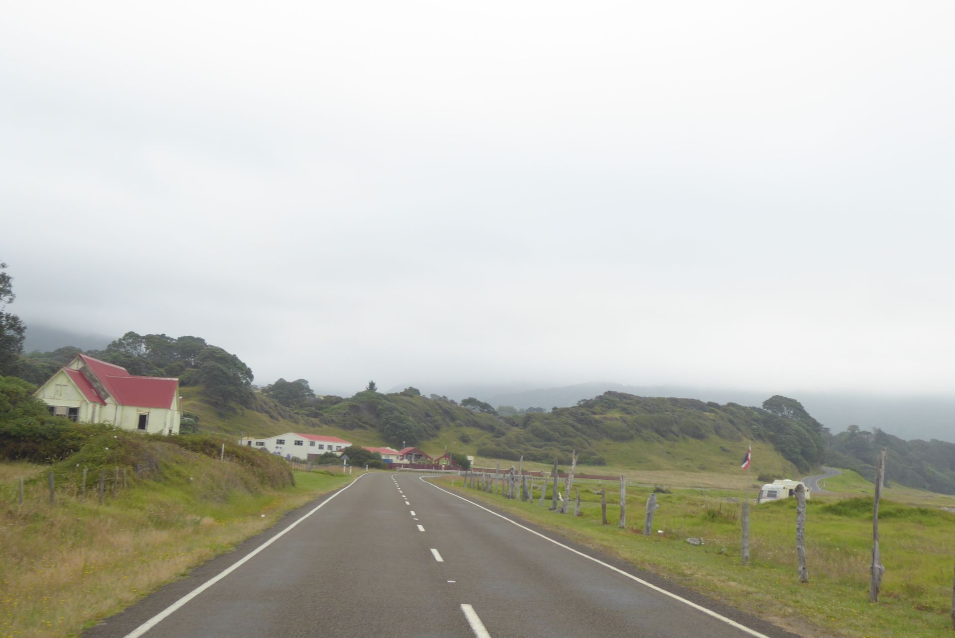
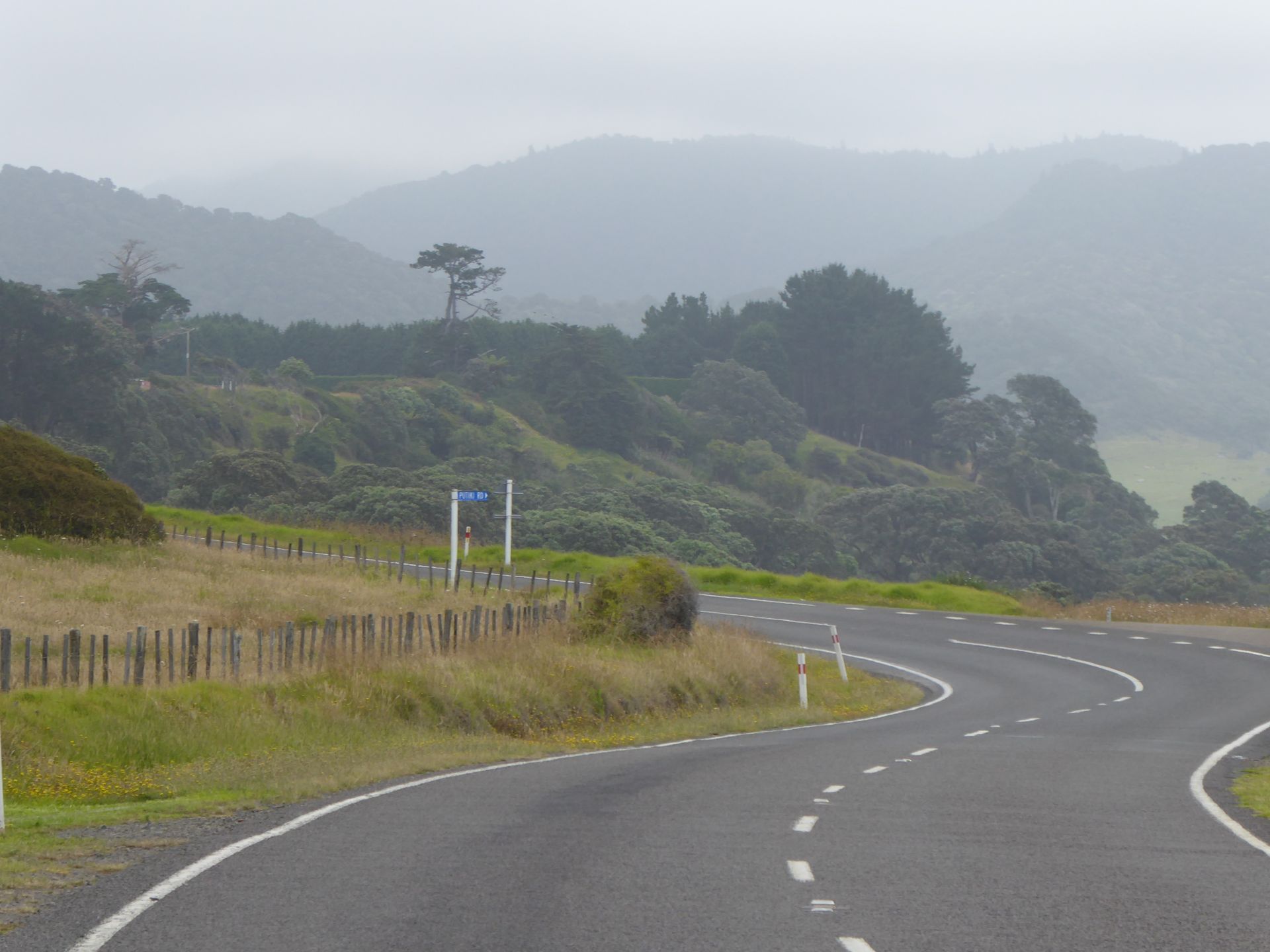
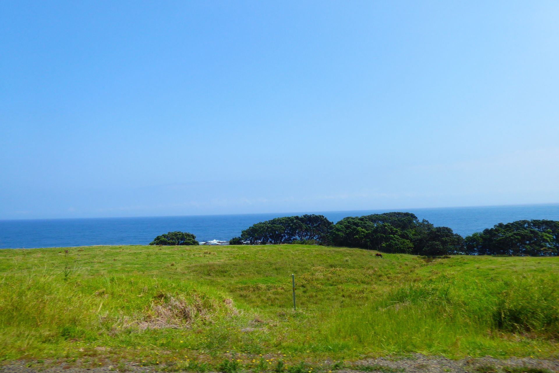
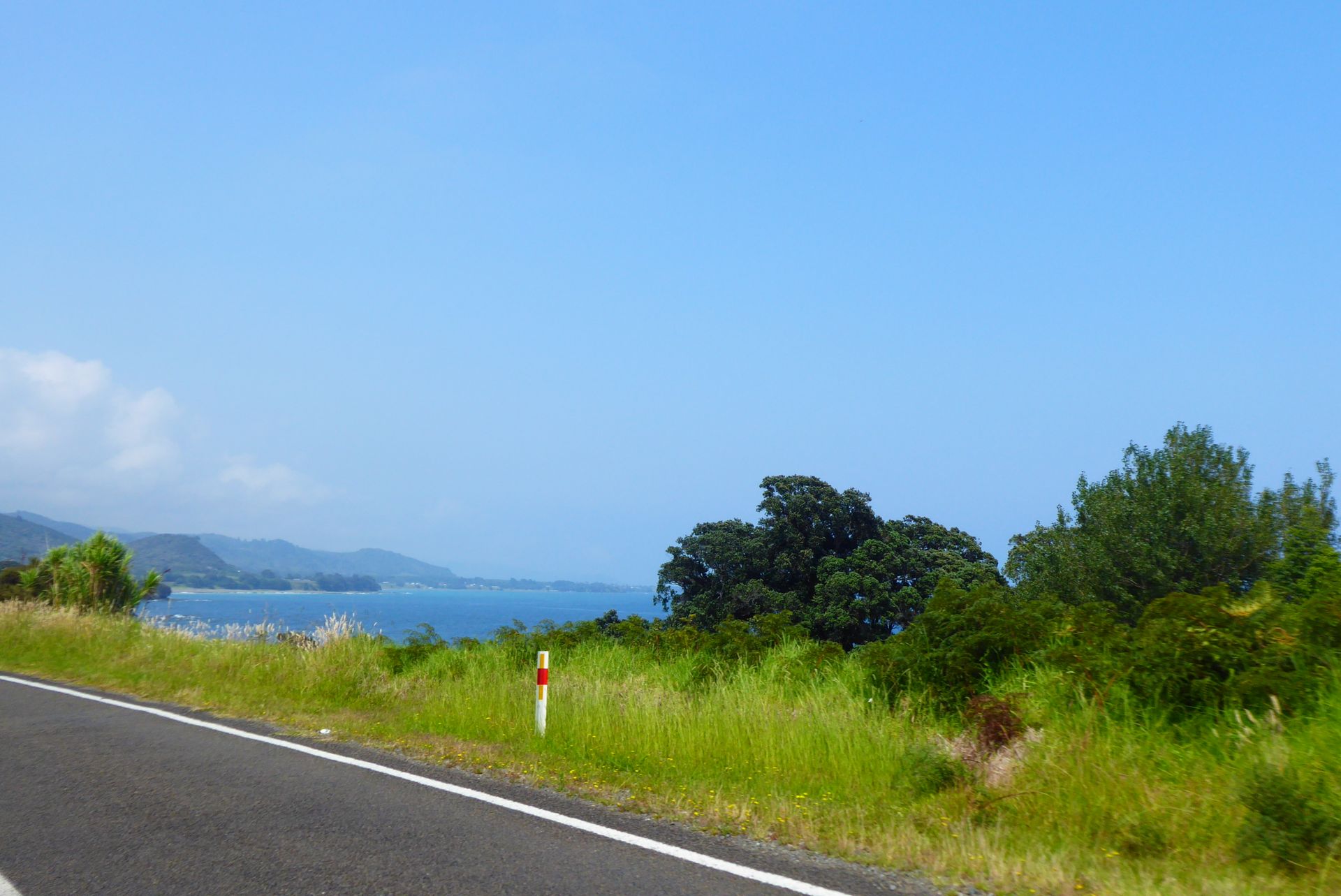
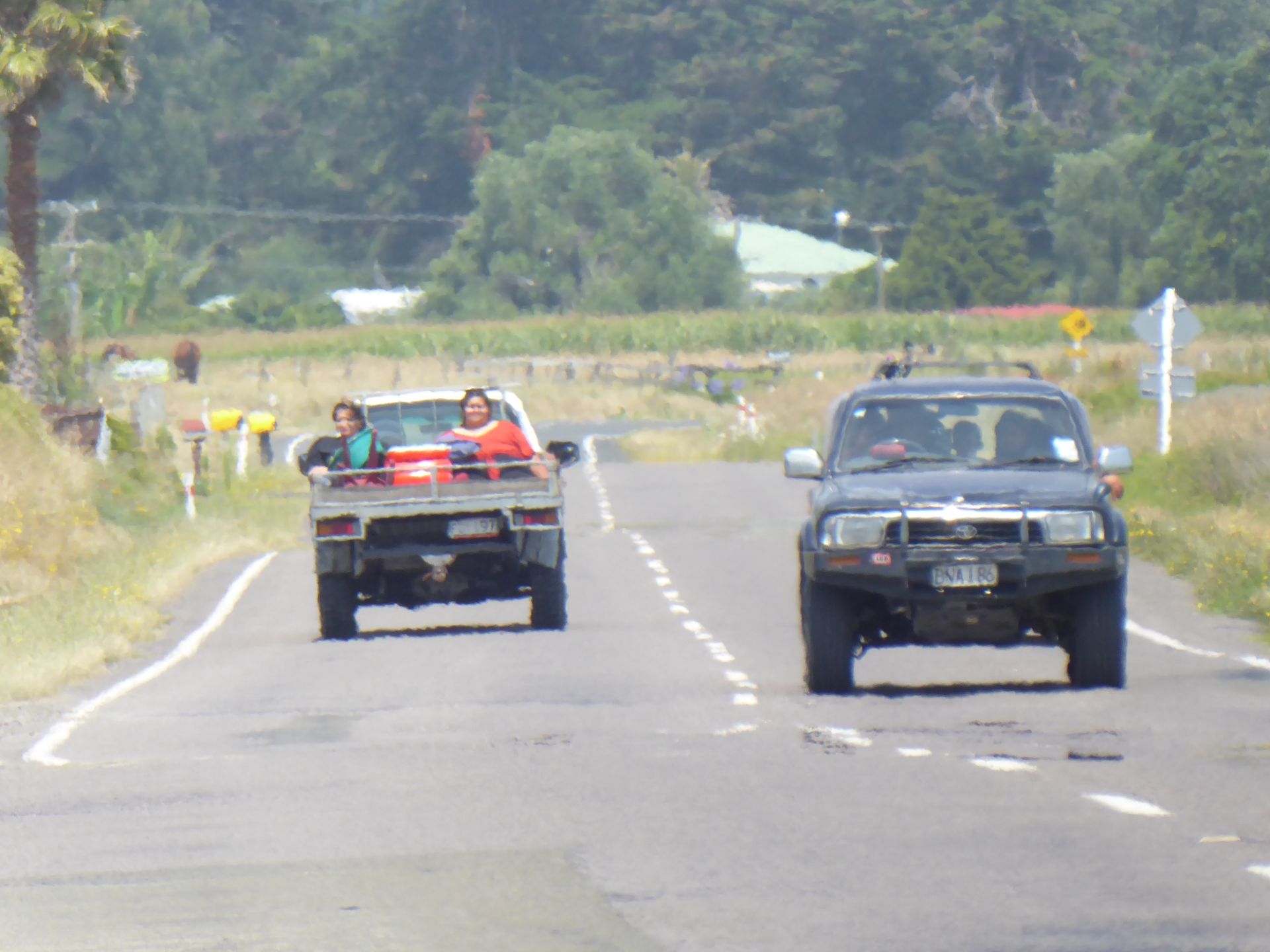
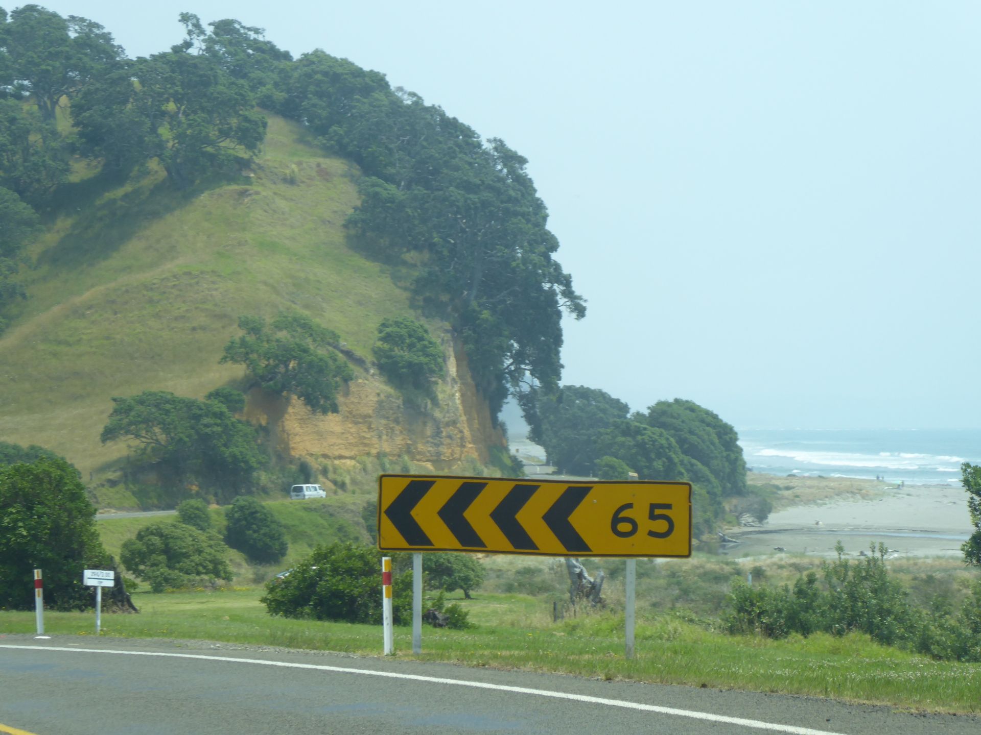
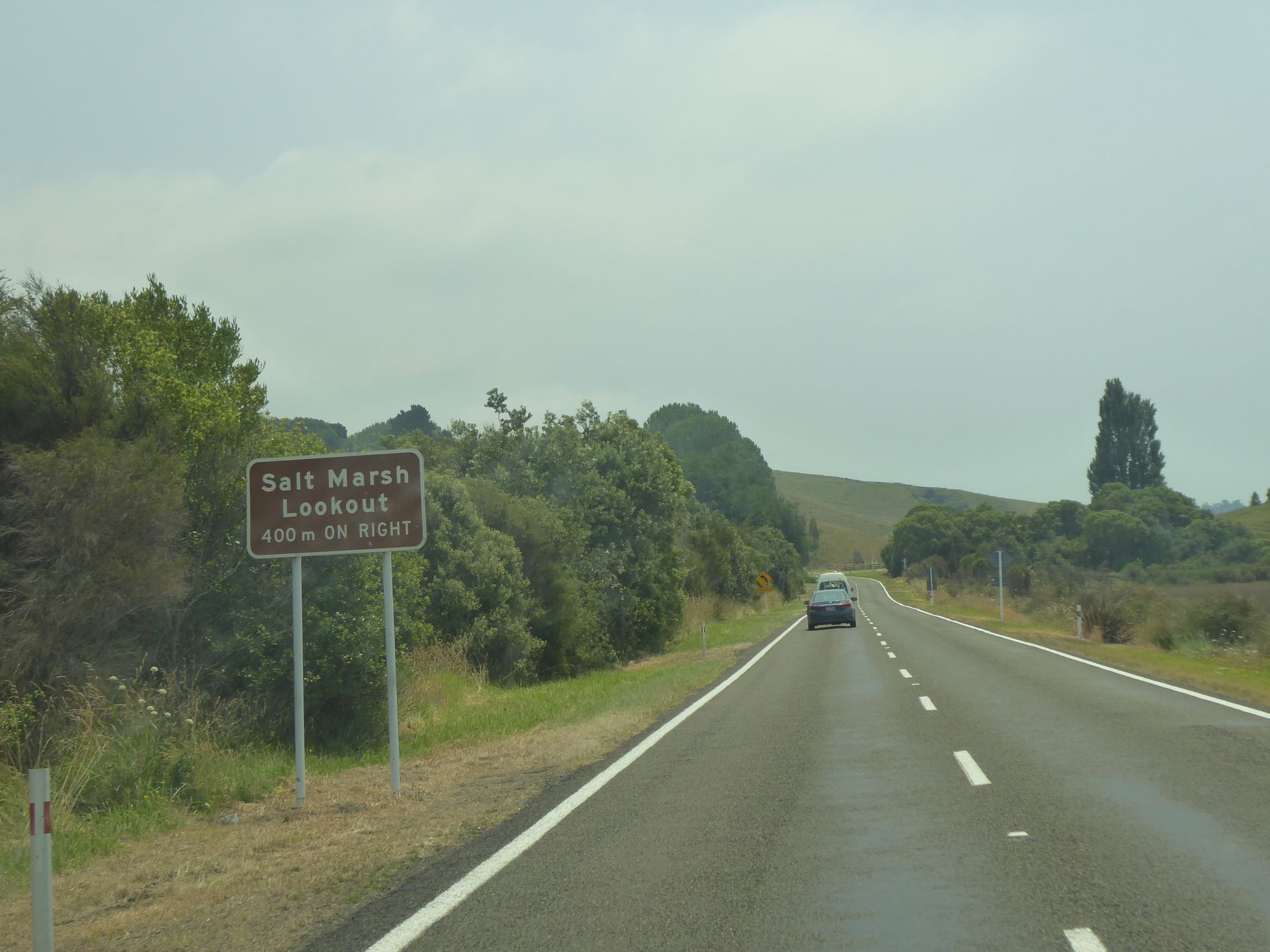
I can usually only take photos while driving because there are no real parking bays or the beloved "slow vehicle bays" that I have grown fond of. The entire route of about 160km to Opotiki has no passing lane and remains single lane in each direction. About 50km from my starting point, the Bay of Plenty comes into view, which the district was named after.
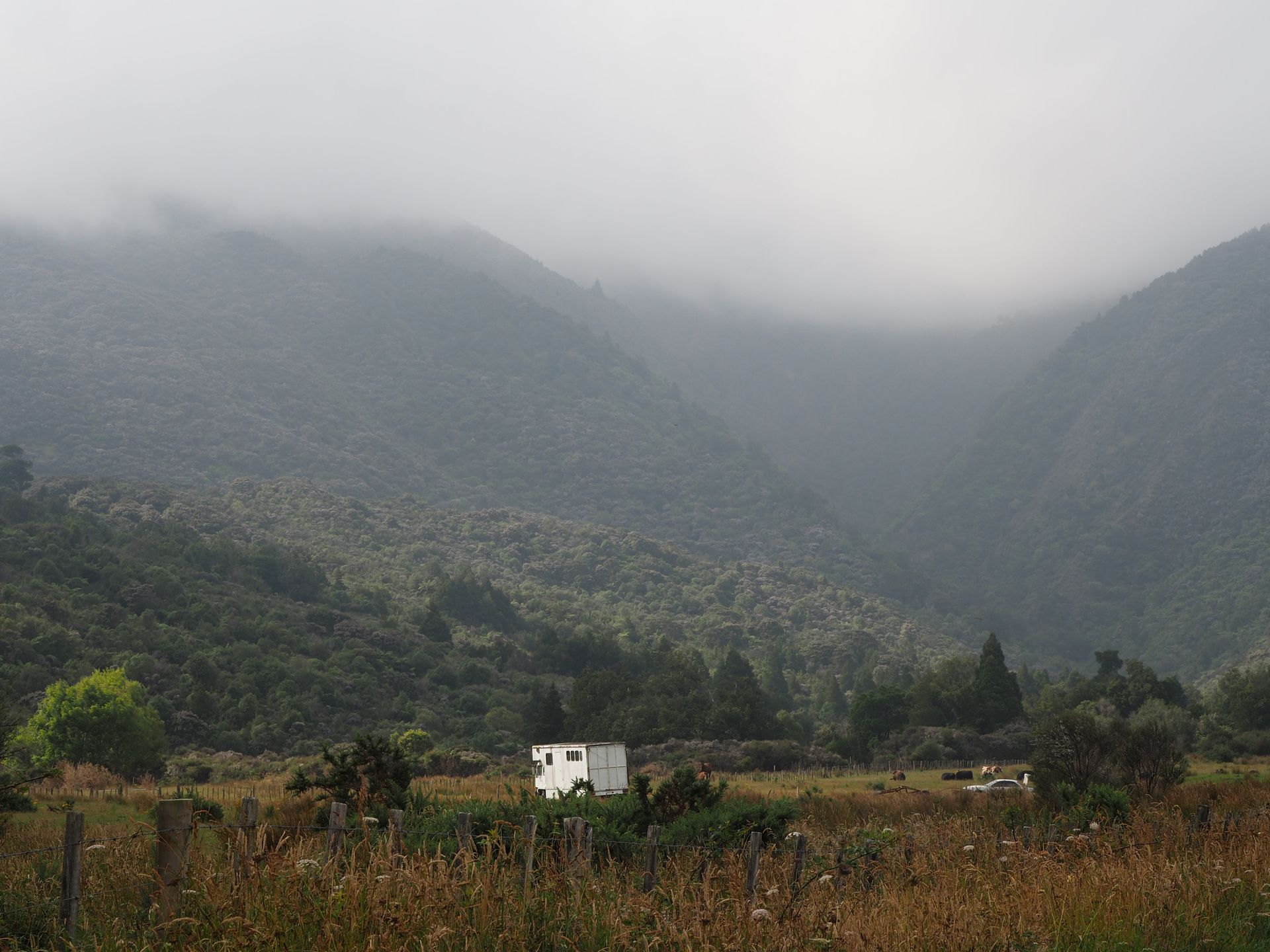
The Highway 35, which I am following today, winds up and down, sometimes along the coast, then about 50-80m above a bay. The beaches are brown, not as dark as a few days ago. Just when I think I don't have to clutch, shift, give gas or brake anymore, the road takes me back into the mountains that rise up on my left to about 1000m. Everything densely forested, unless it has been cleared 🙄. The warning of crossing logging trucks is ubiquitous, but they are also on holiday today. When I have 80km to Whakatane, or rather 130km behind me, almost 3.5 hours have passed! I temporarily get 3 bars of signal to make a phone call home.
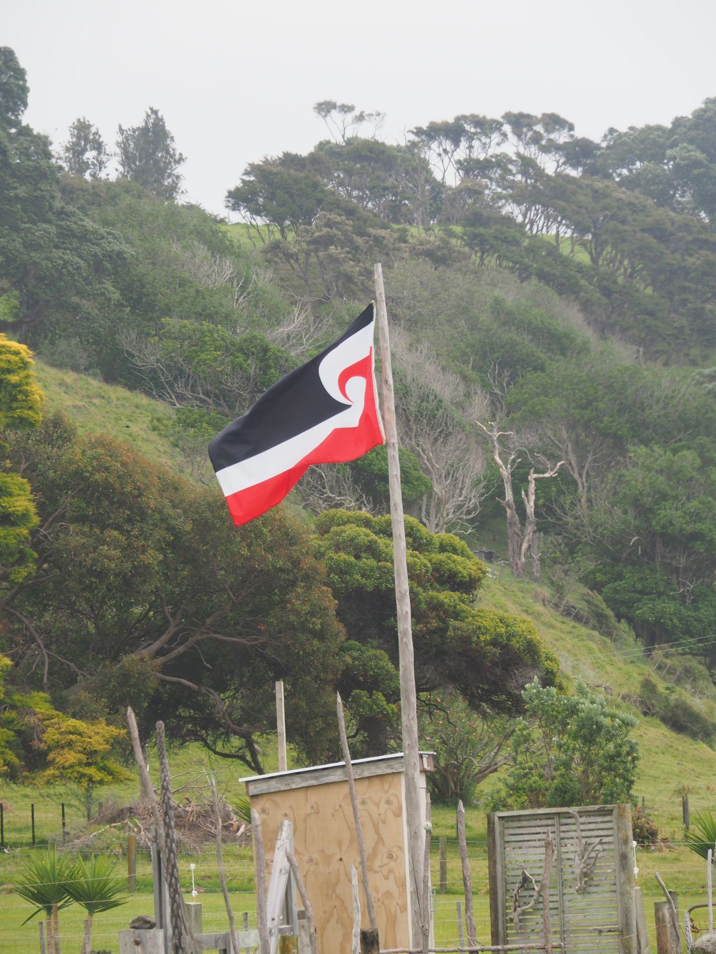
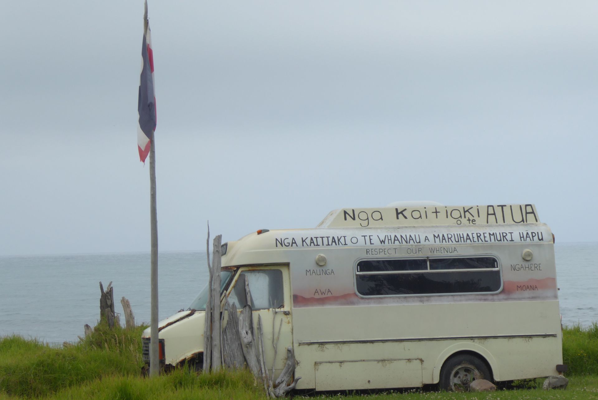
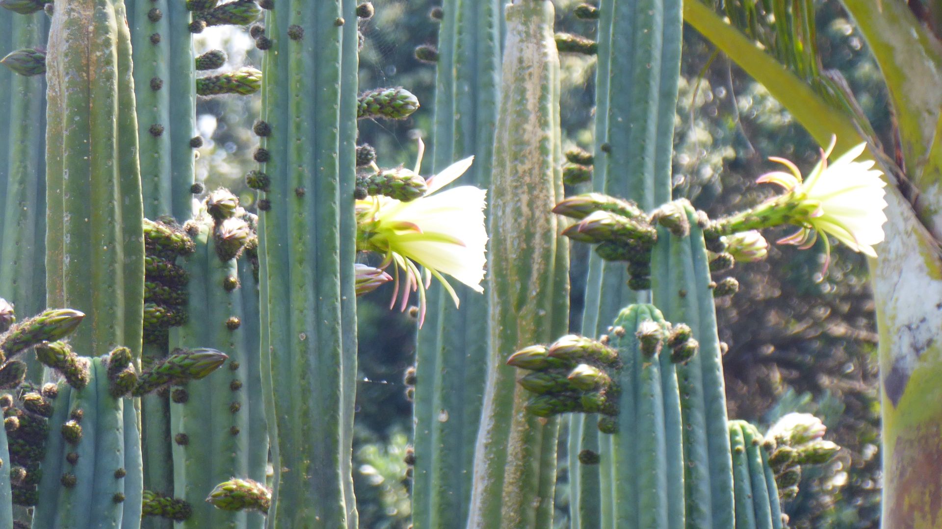
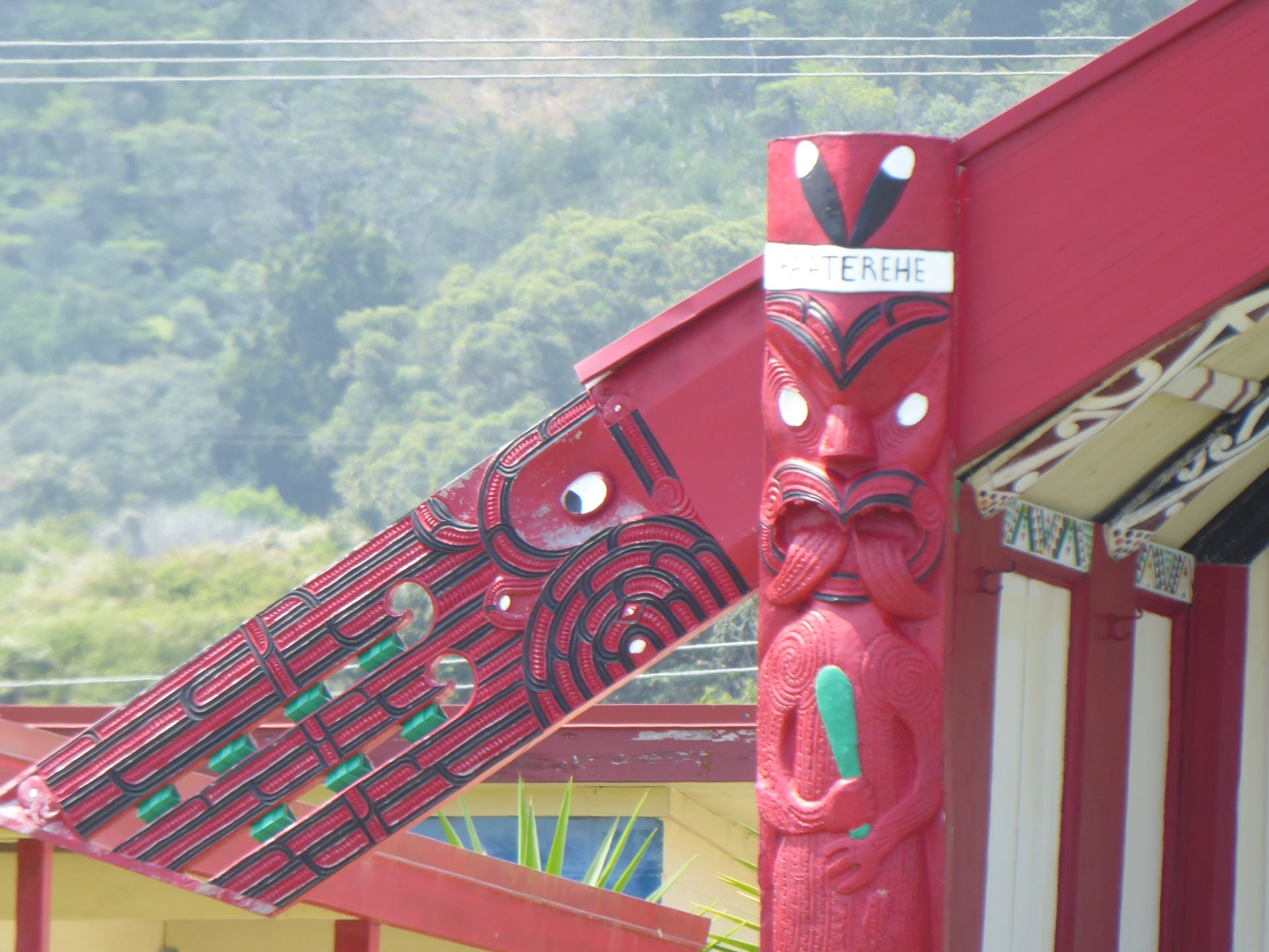
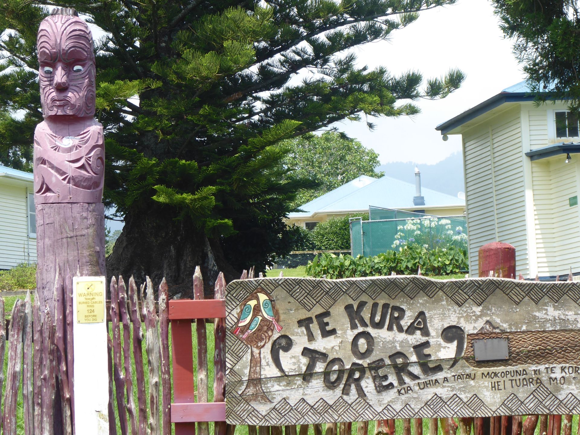
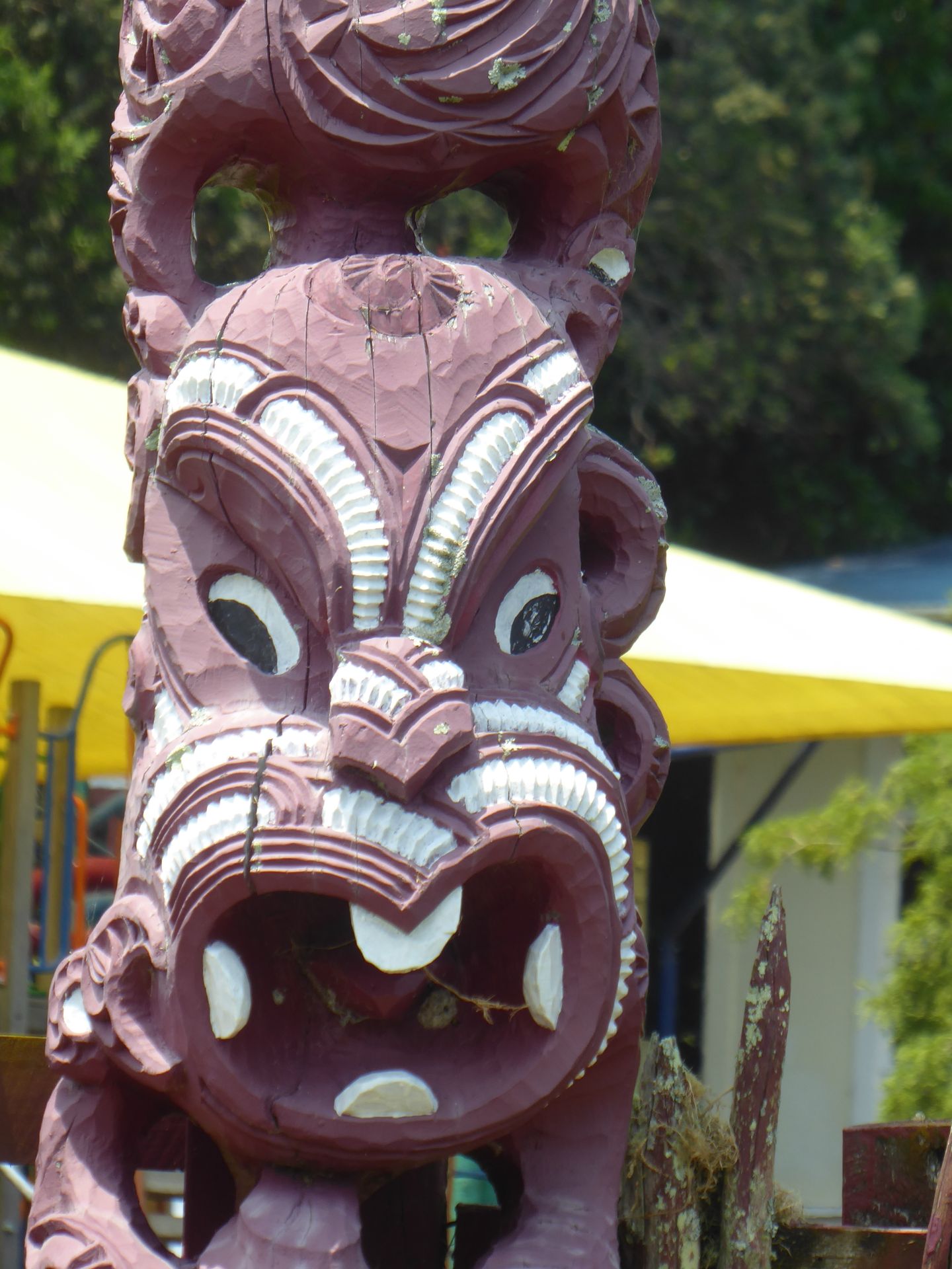
I did stop at a couple of marae and took some photos of plants, but the drive is taking a long time. There are clear indications here from the Maori that this is their land. Somewhere a flag sticks out of the bushes saying "This is our territory" or "respect our whenua". Whenua means, among other things, land in the Maori language.
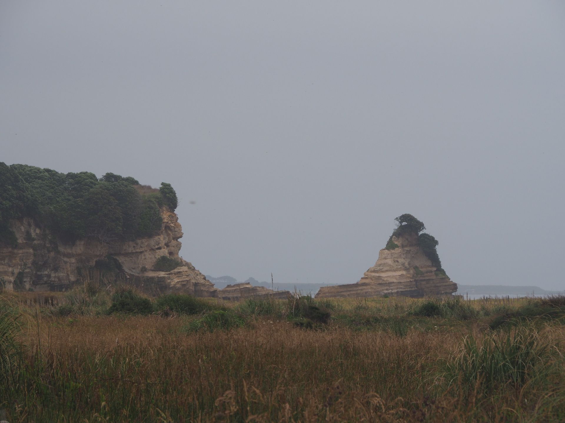
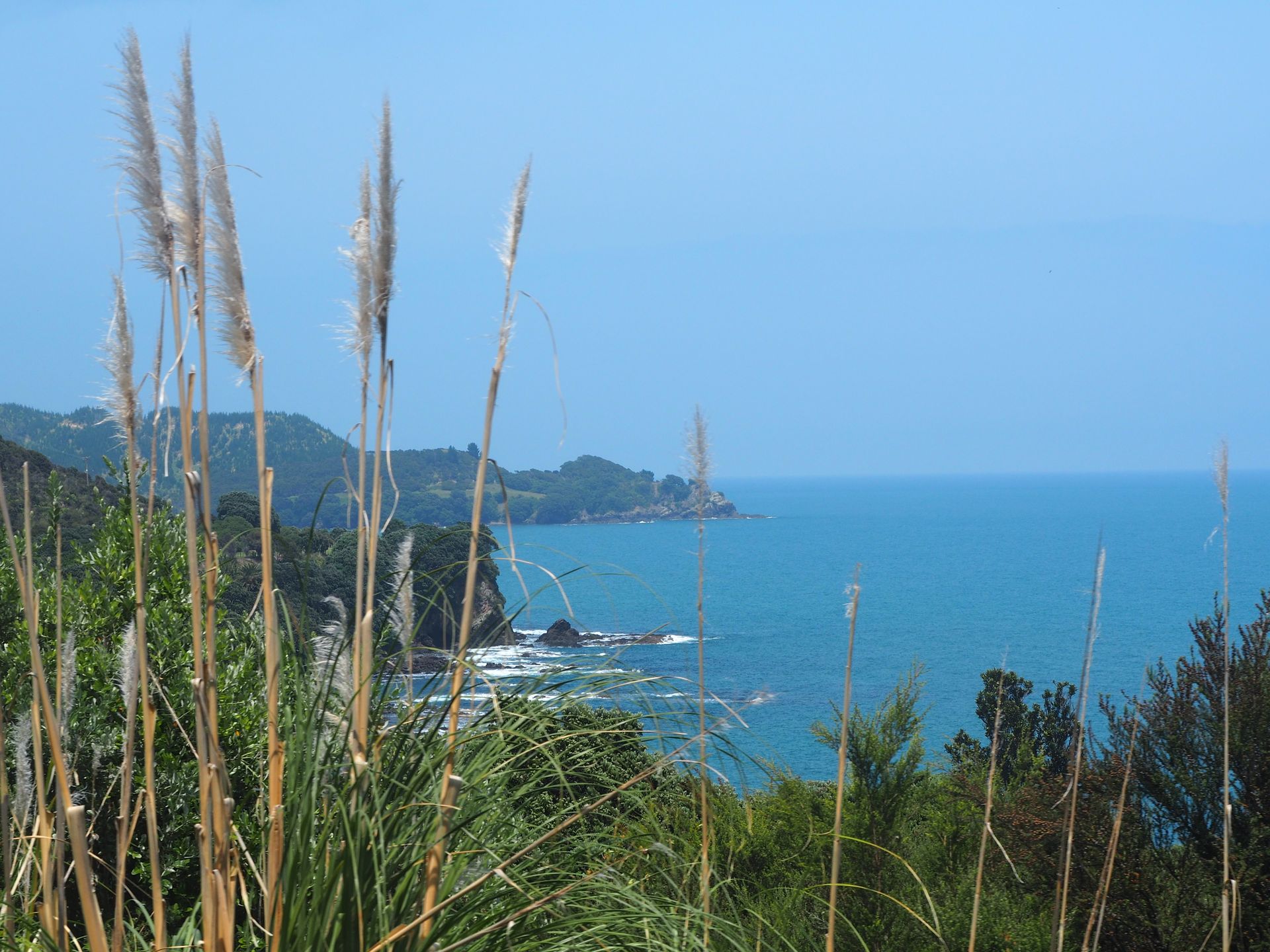
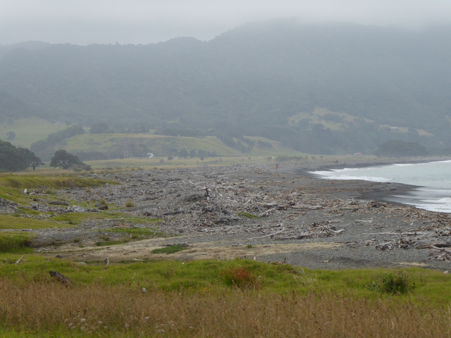
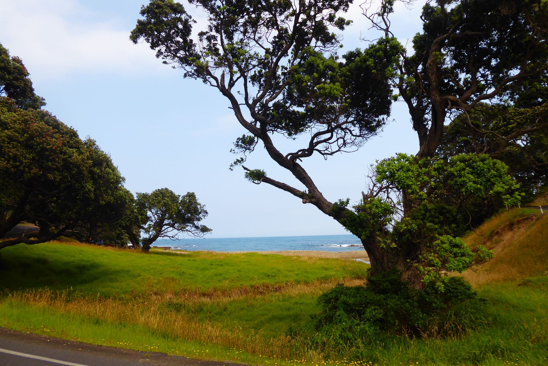
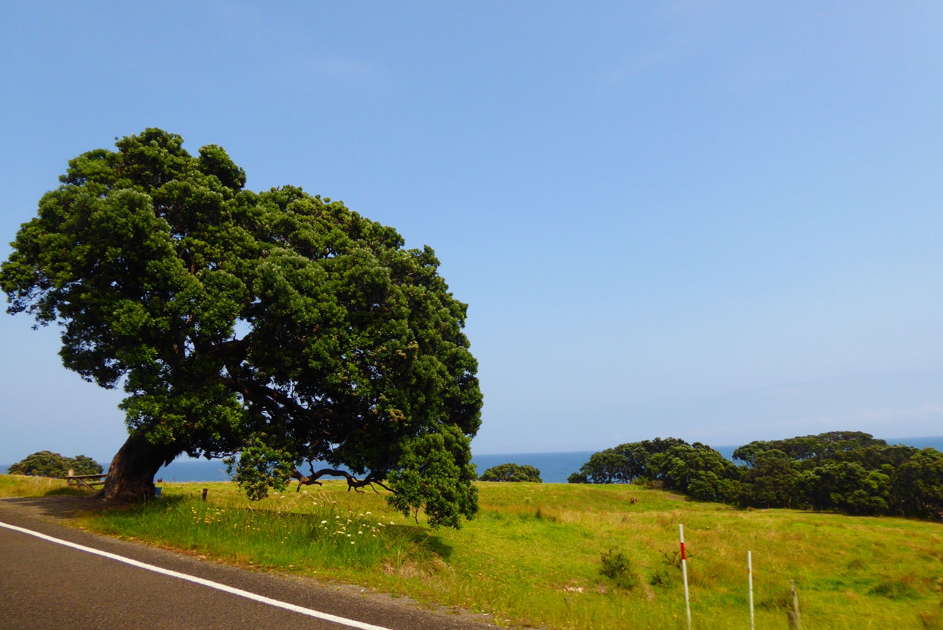
Dreamy bays, narrow bridges over wide, stoney, dry riverbeds are my visual delights and variety.
Knotted pohutukawas cling in large quantities to sandy and stoney slopes. Unfortunately, they are not blooming here yet. The first timid red flowers can already be seen. Driving this section in two weeks would be amazing when thousands of these trees are in full bloom.
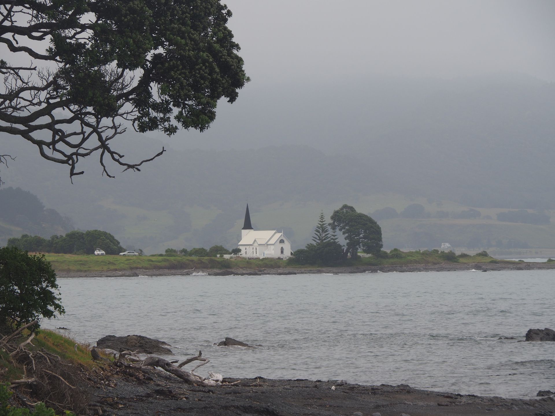
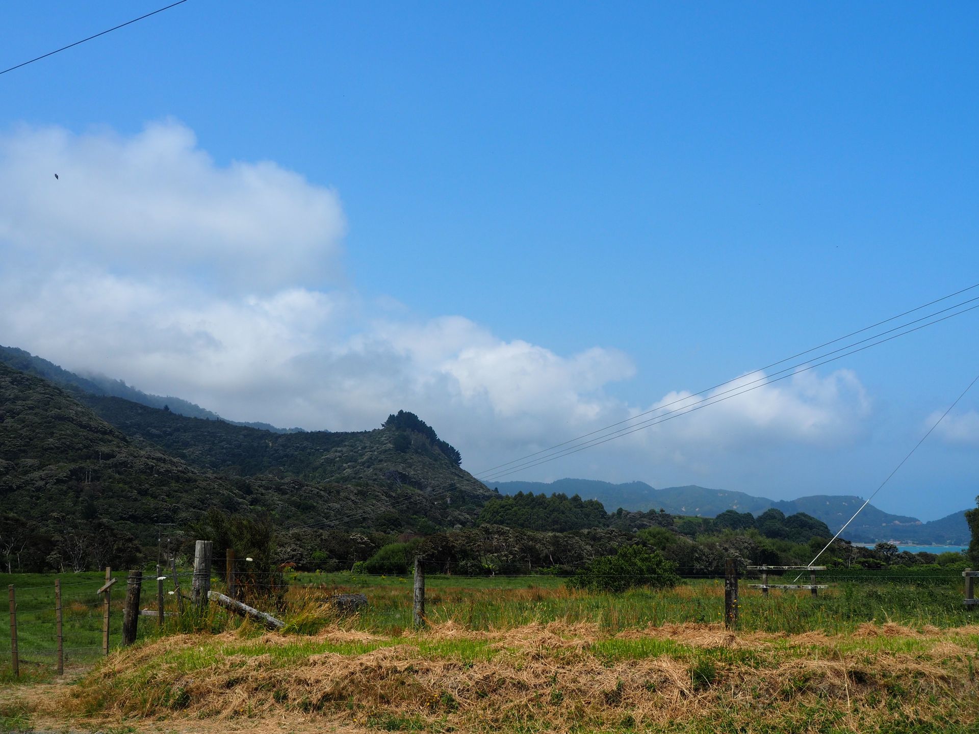
Just before Opotiki - the end point of the East Cape circuit - the weather improves and the sky turns blue.
In Opotiki, I am back in civilization. Finally, a ⛽ gas station with a restroom! While you can find public toilets everywhere tourists stumble around, which are usually clean, the East Cape is somewhat "original" in this regard. I don't have a problem with taking a trip into the bushes, but if there is no suitable passing bay on this curvy route, it can be challenging 😉. What starts behind Opotiki is something that I have never experienced in this form in my 20,000km journey through New Zealand: TRAFFIC JAM! It takes me almost 1.5 hours to drive the measly 44km from Opotiki to Whakatane! 😭 I drive on the Wanui Road, which runs along a salt marsh area that has formed here in a lagoon.
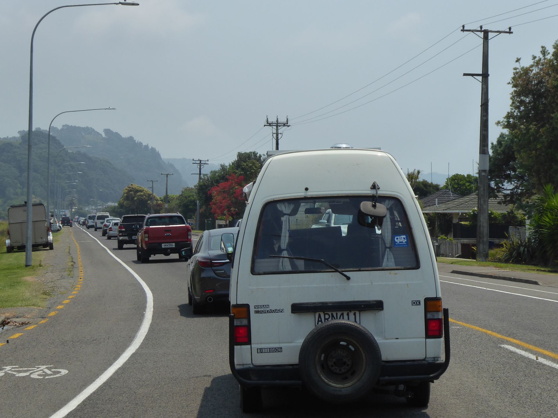
In Ohope, a holiday resort, the line of cars struggles from roundabout to roundabout, and every hill becomes a nail-biting experience for everyone when a truck, a caravan, or a snail 🐌 is driving in front... It is almost half past two, about 5.5 hours after I left Te Araroa. 211km are behind me. I don't cover many kilometers per day, but there are simply extremely long stretches with endless curves and gradients that cannot be taken at a rapid pace with a camper like with a car.
There was one time when I was grateful for my reduced speed when I got caught up in a confrontation between young people today, where one party, in order to be able to effectively throw stones at the others, simply parked their off-road truck across my lane, because the opponents' car was in the driveway. So stones were flying, and I was glad that there was no oncoming traffic at that moment.
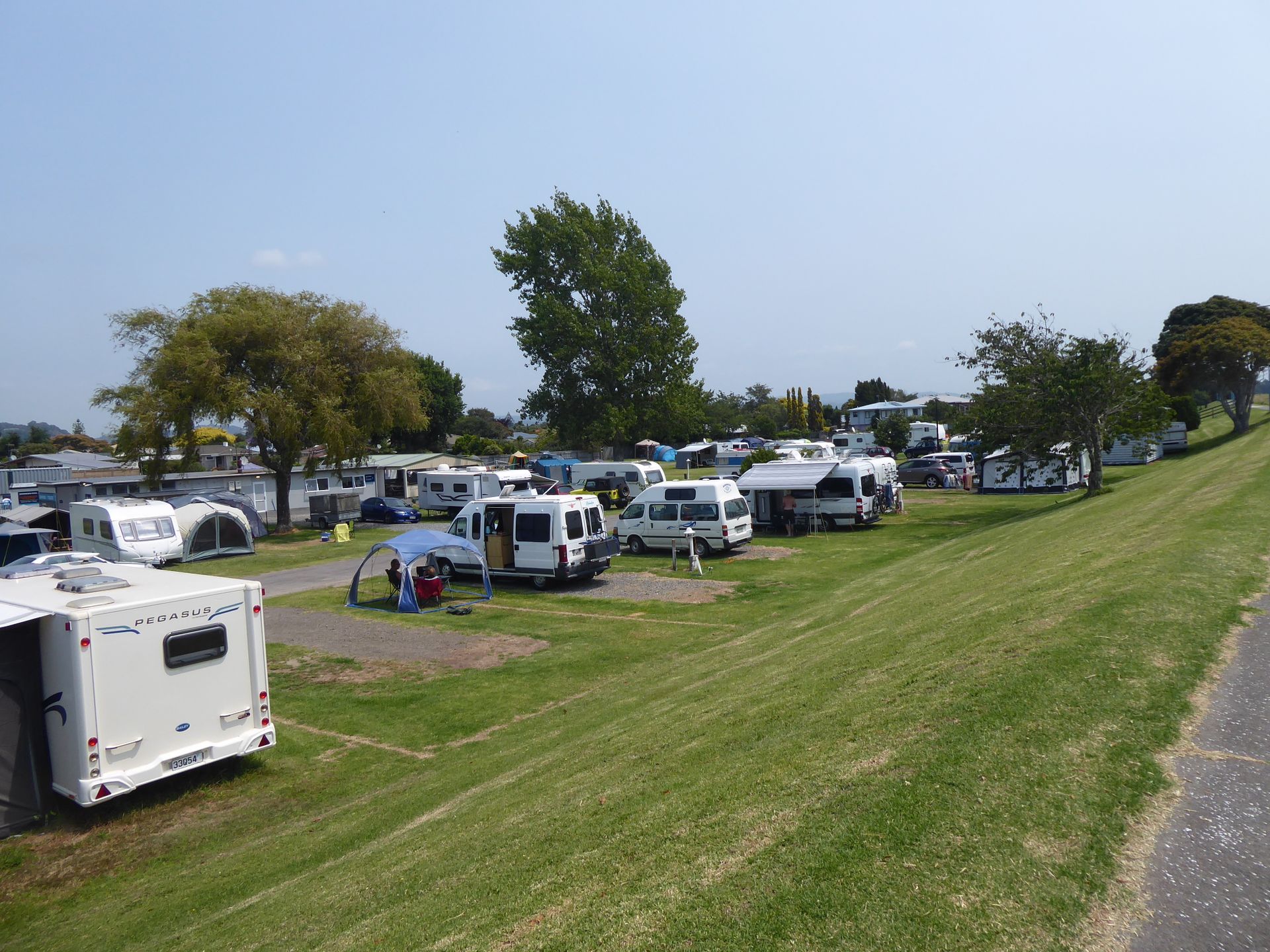
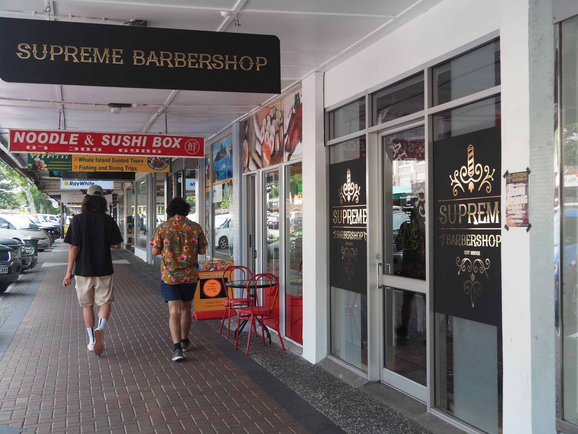
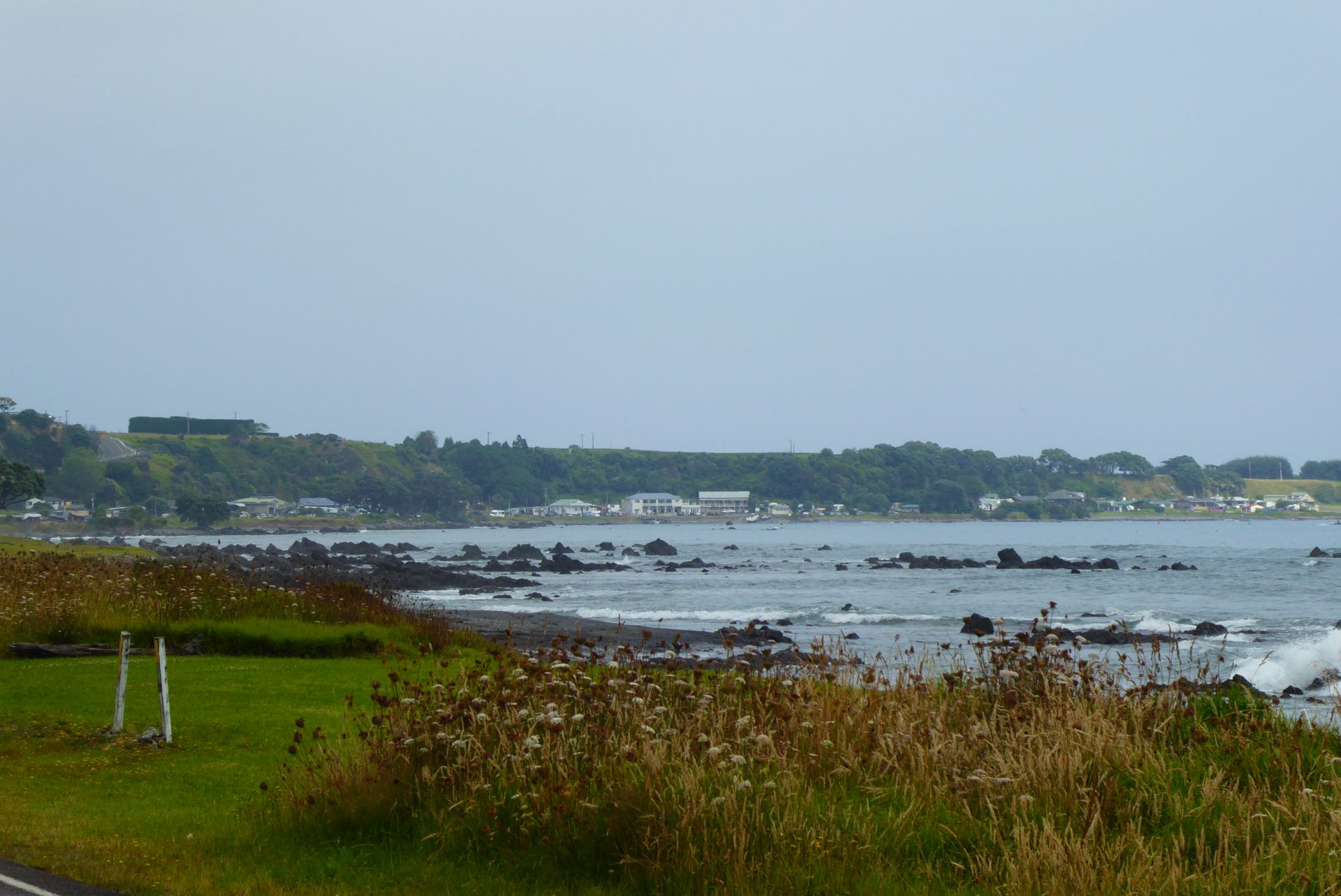
The Whakatane Holiday Park is situated beautifully behind the dyke. Because Whakatane is located on the Whakatane River, which practically runs parallel to the sea. This rather small river meanders between the campsite and the sea, and on the opposite shore is the Pacific Ocean. The sun is making a valiant effort, but it remains slightly overcast. After these hours in the car, I need some exercise and walk up to the dyke behind my camper and stroll into the city center.
Unfortunately, everything is pretty deserted. The tourist information office has been closed since 2pm. I manage to grab a cookie in a bakery that is already clearing everything away 30 minutes before closing time. They tell me that I have to take everything with me or come back tomorrow because they don't serve coffee anymore. But they charge an extra 15% because it's a holiday. I hope the employees benefit from it and not just the owner.
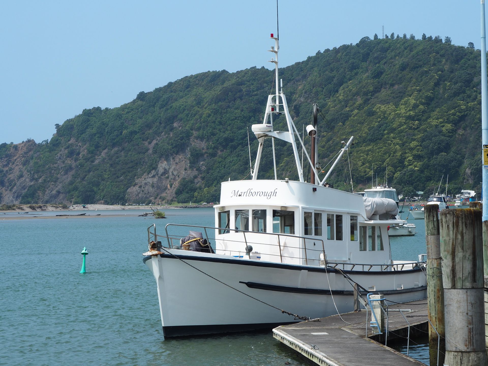
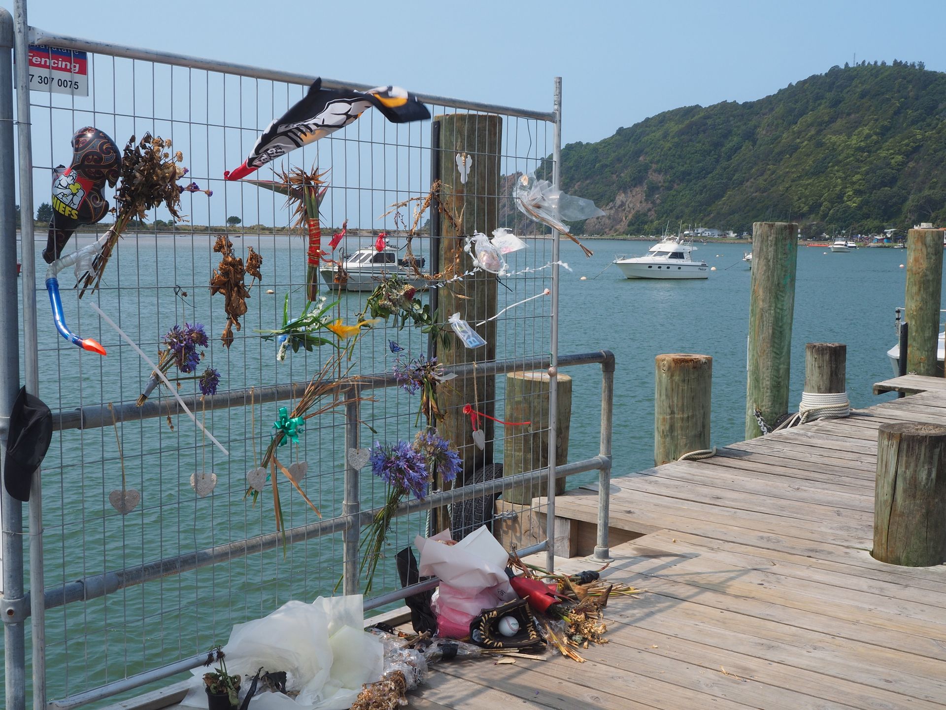
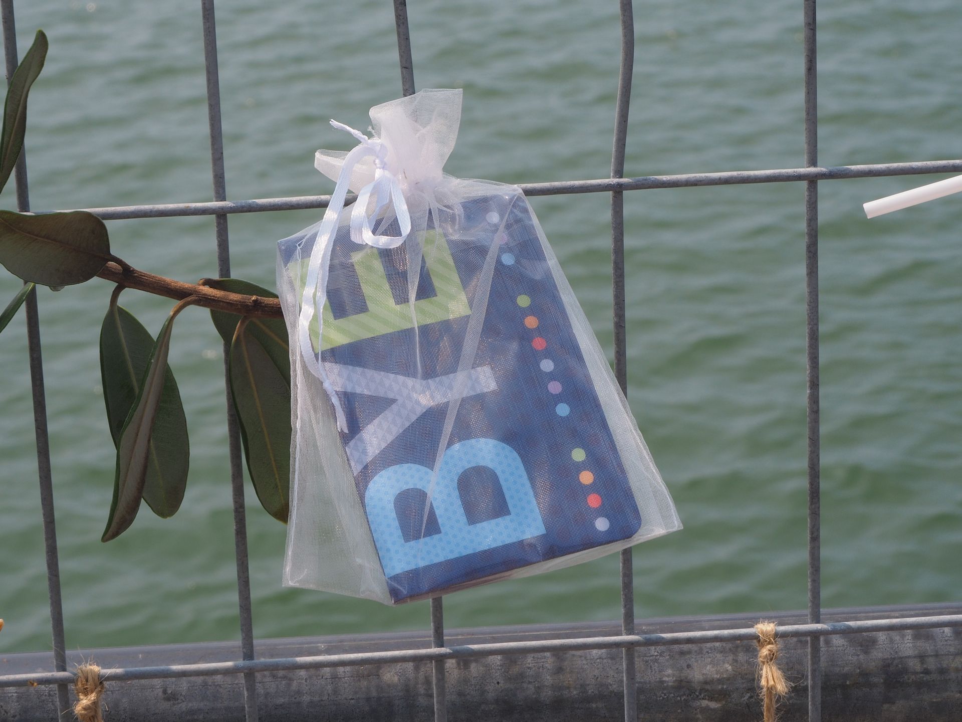
I walk along the White Island Tours jetty - the excursion agency that was able to rescue many of their guests on December 9, 2019, during the volcanic eruption on White Island. However, by now, almost 20 people have died, and two are still missing. There are still a few memorial messages hanging on a fence. White Island is about 50km off the coast of Whakatane.
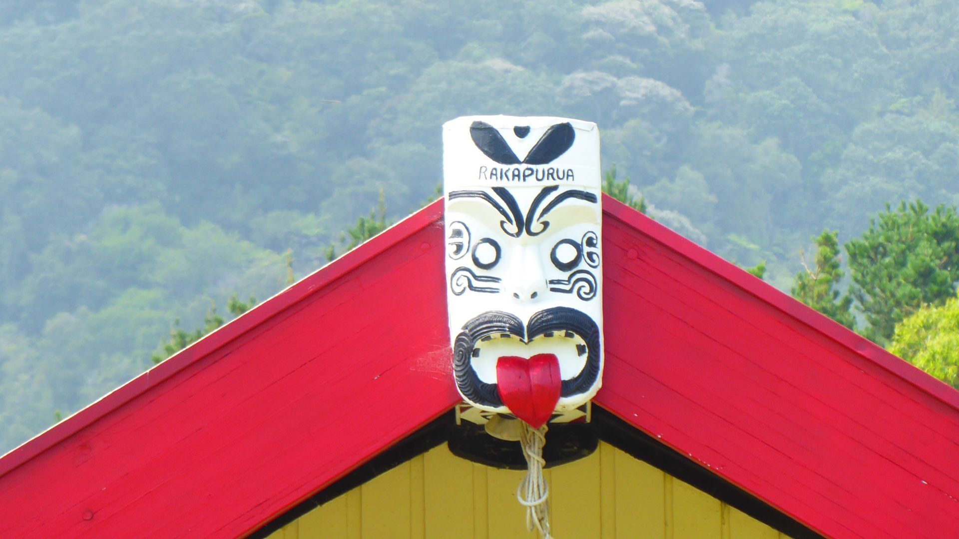
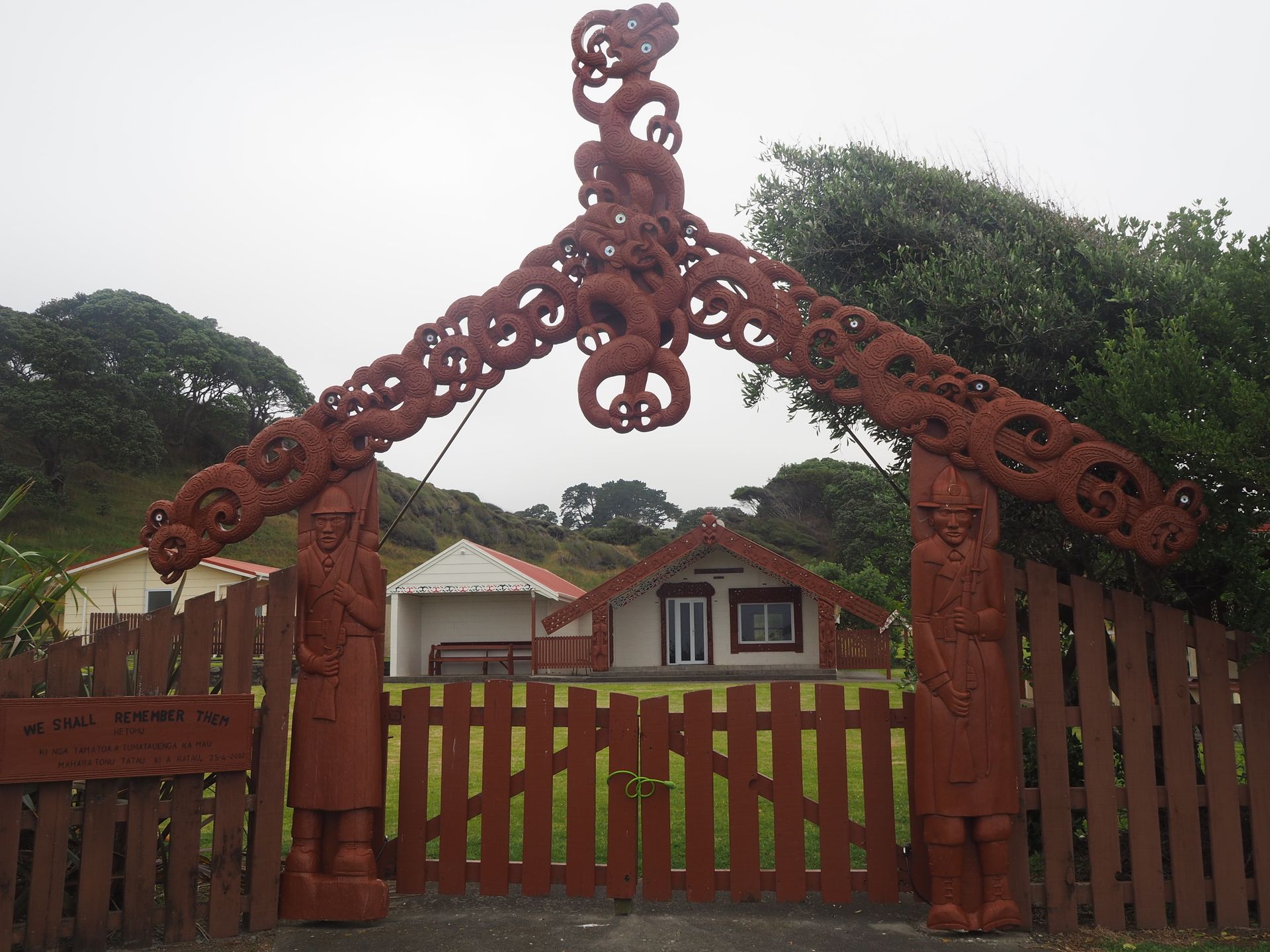
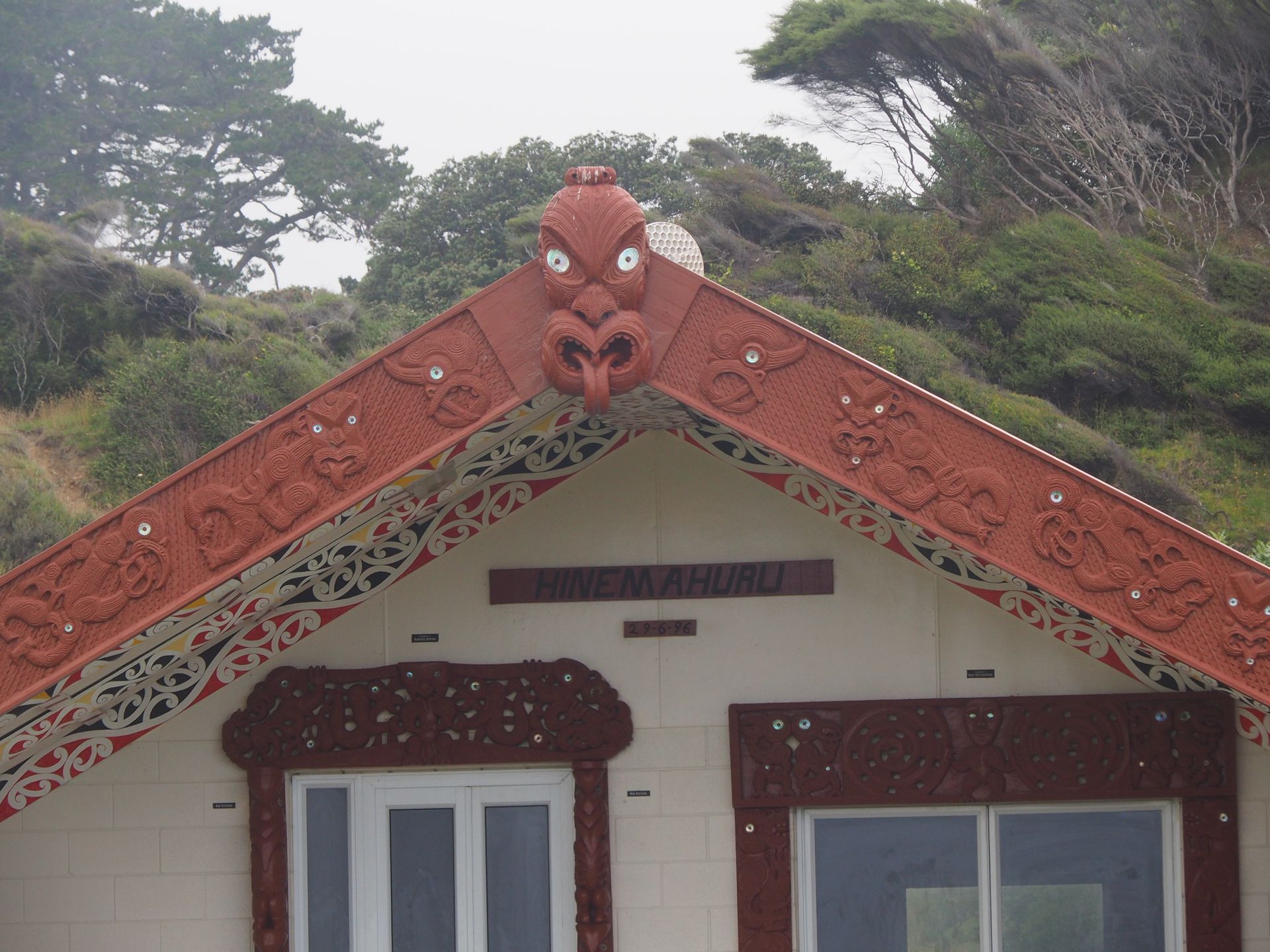
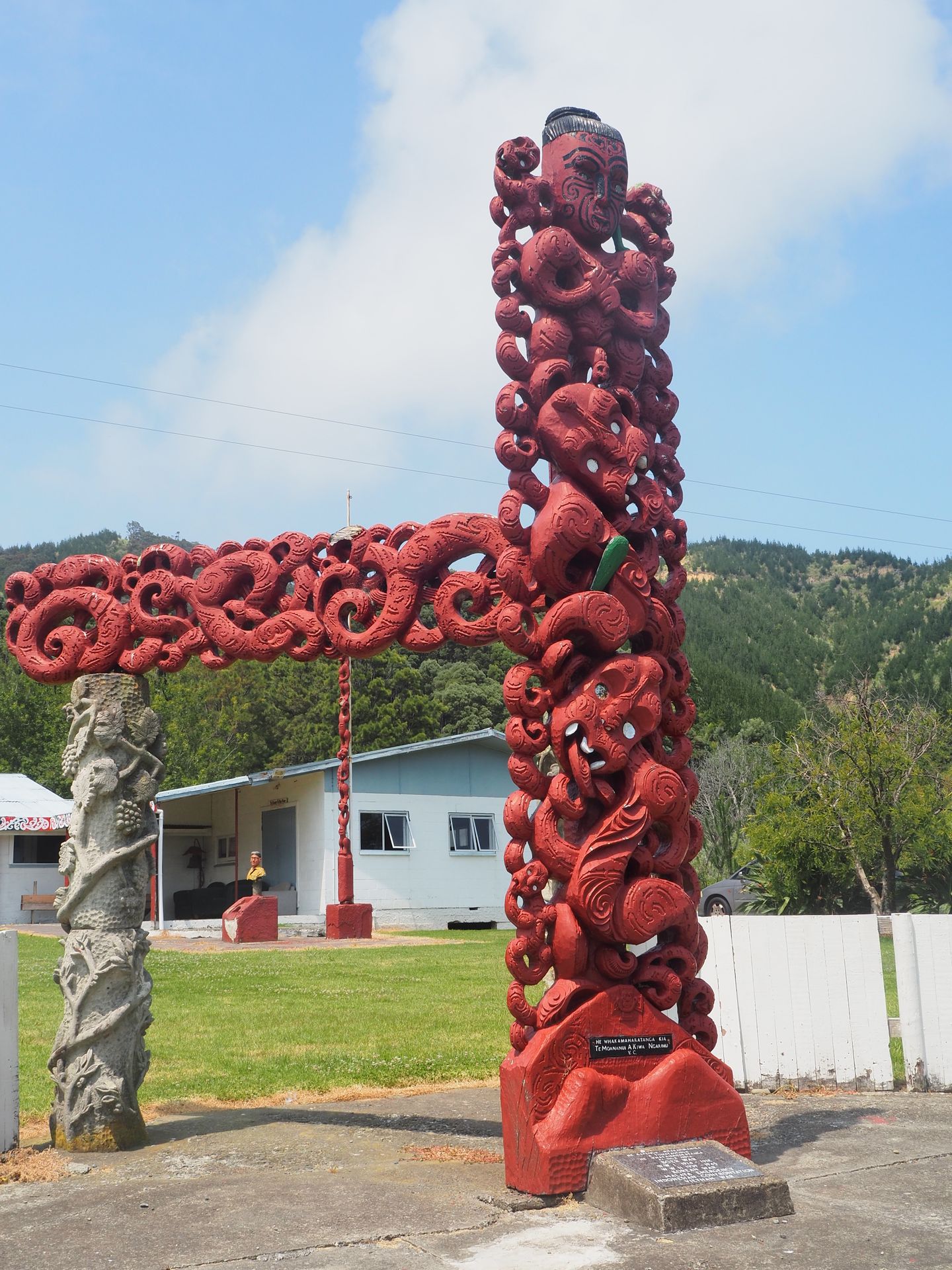
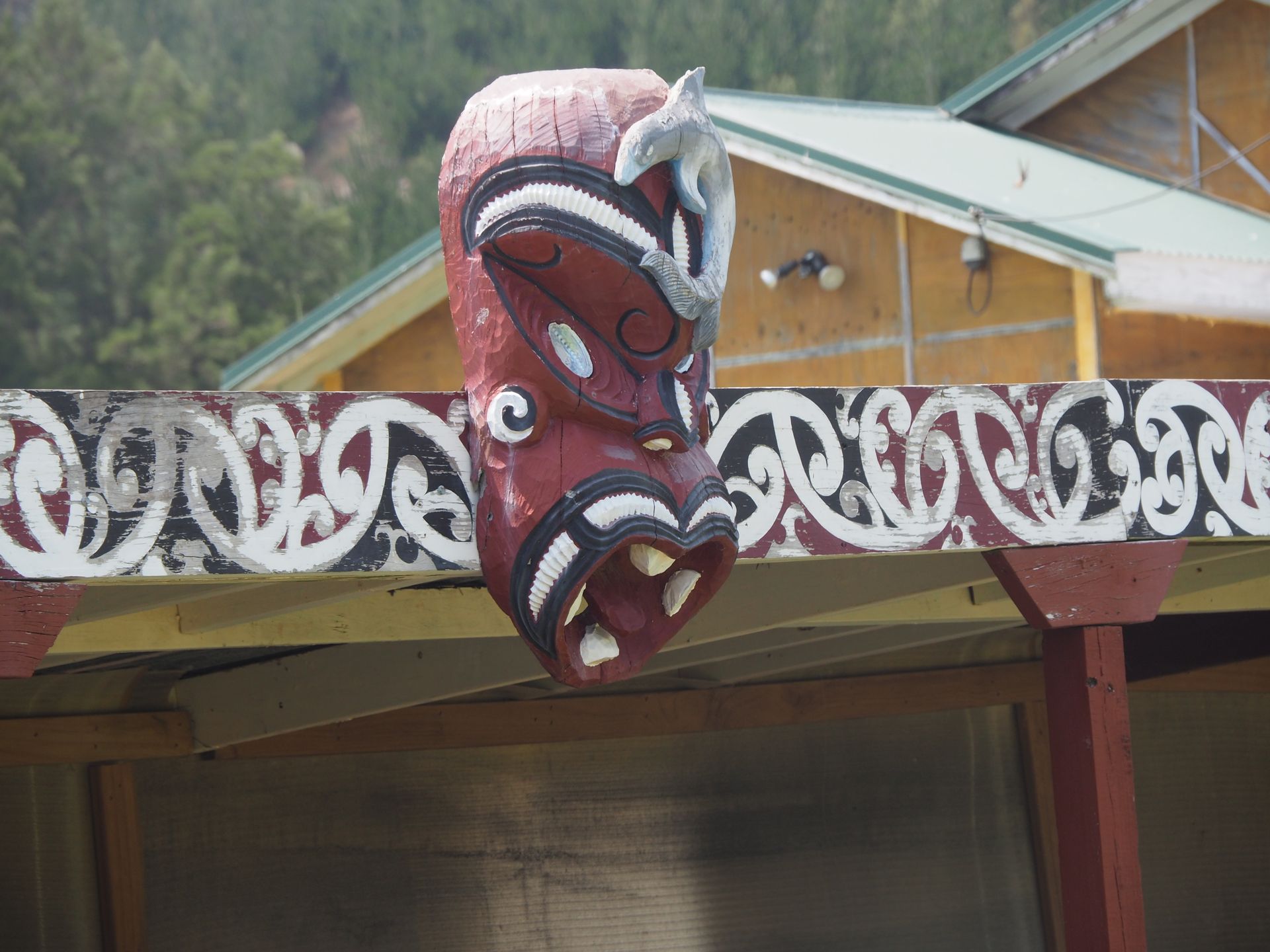
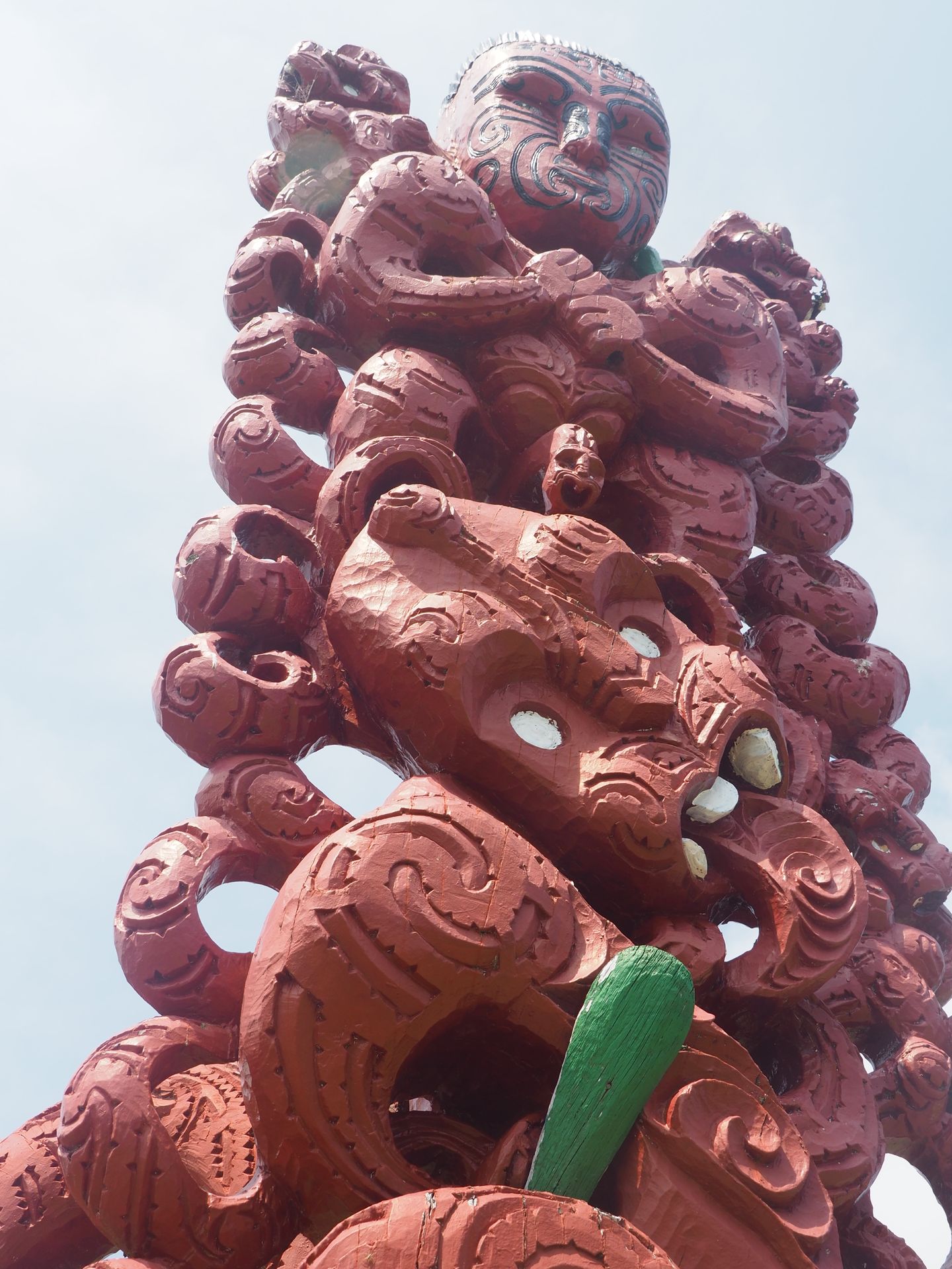
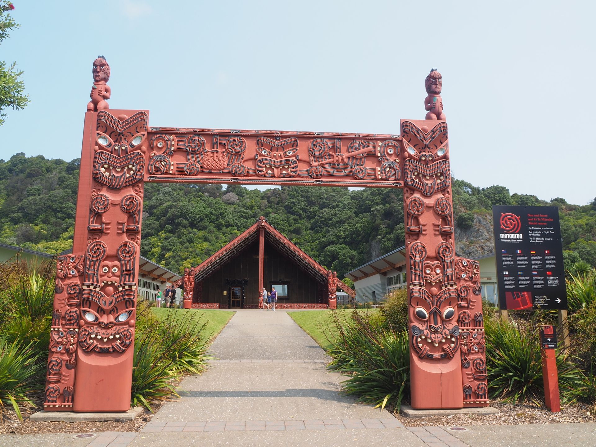
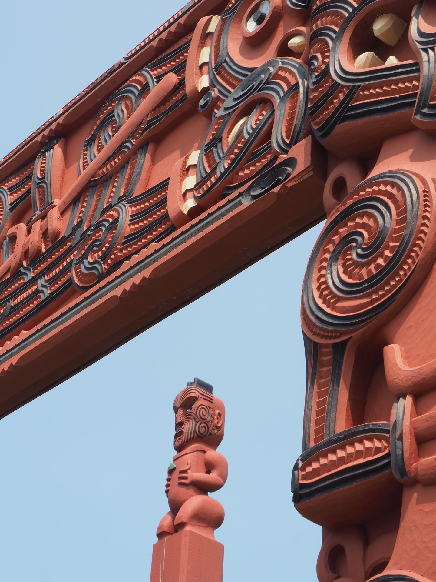
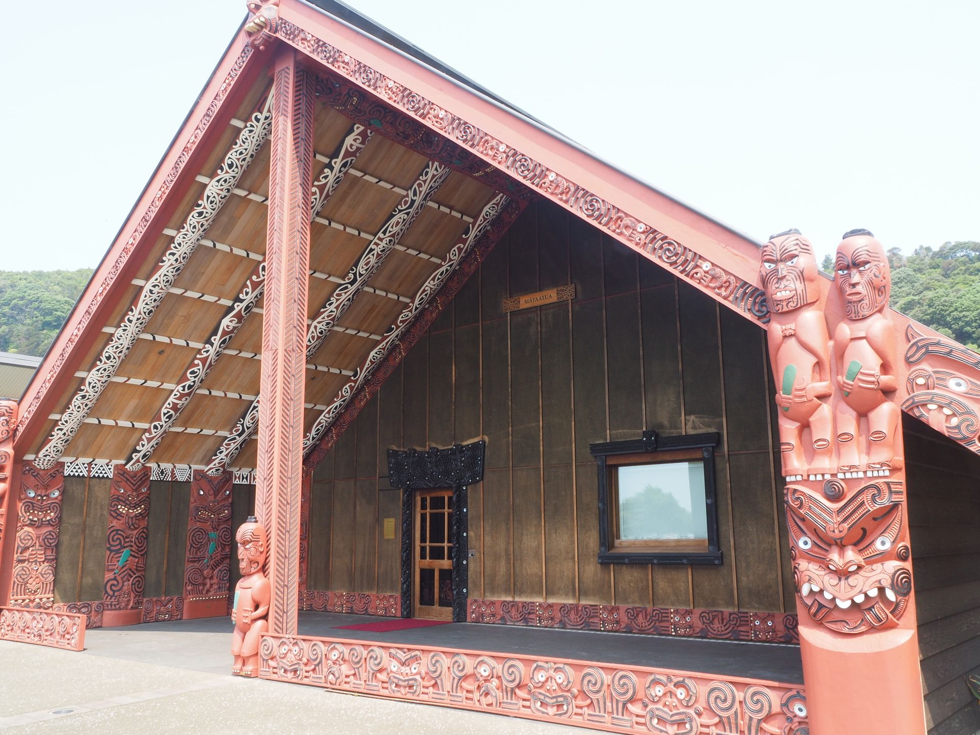
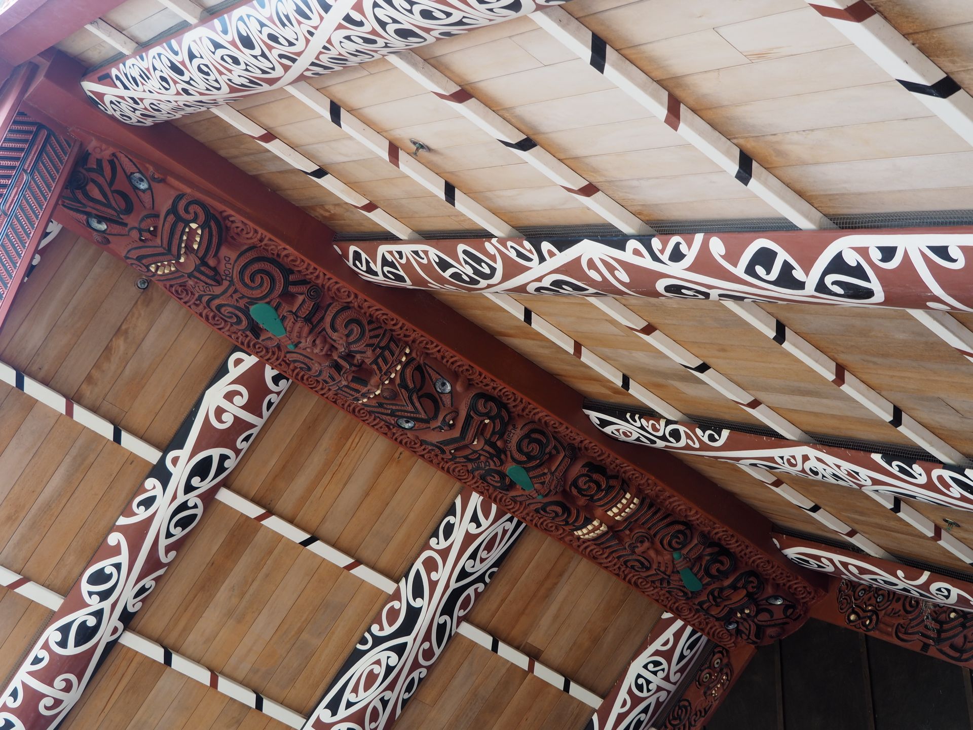
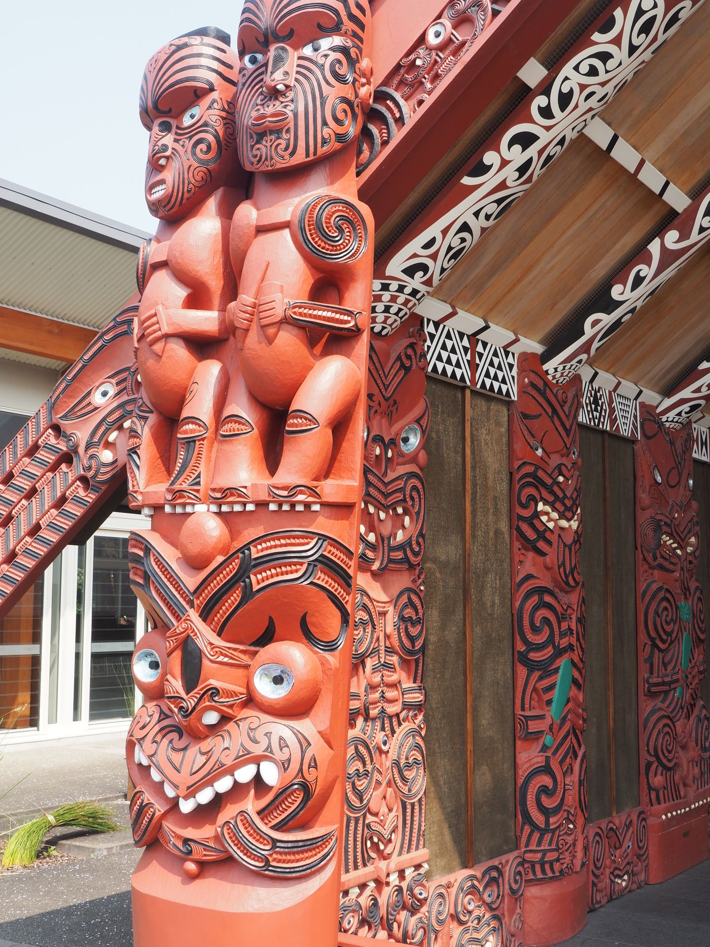
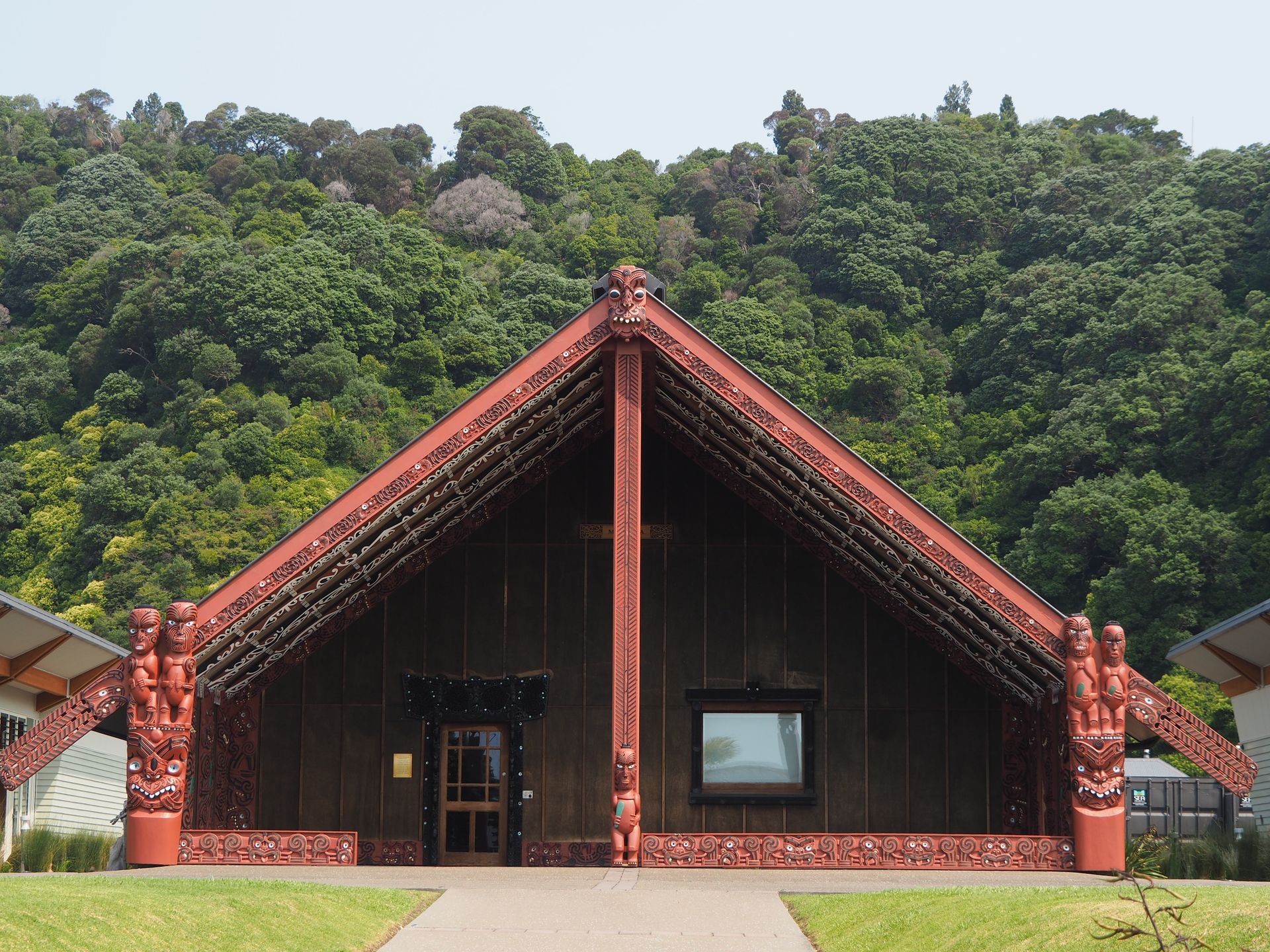
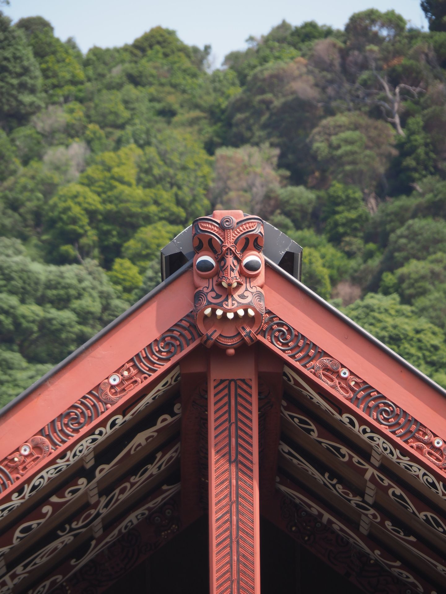
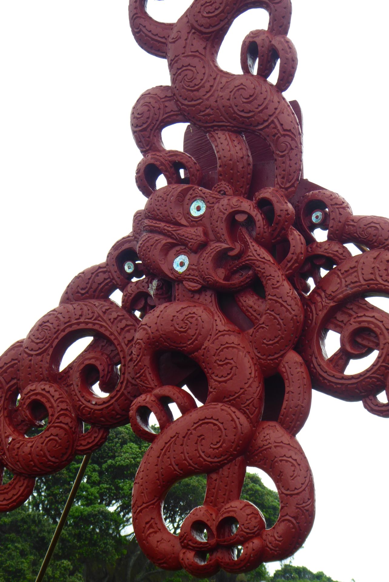
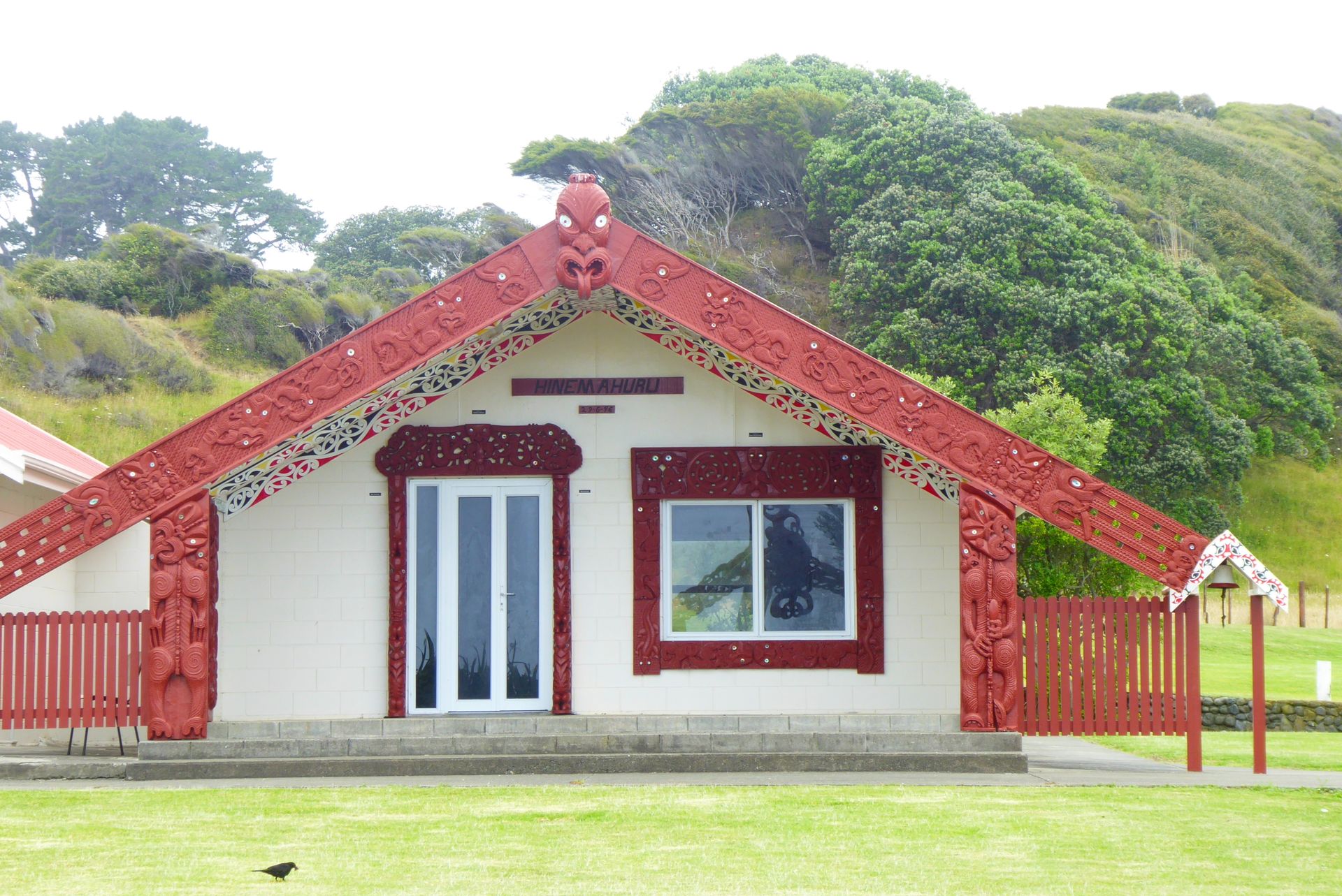
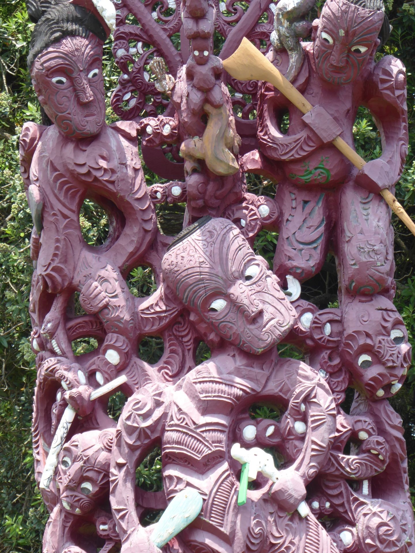
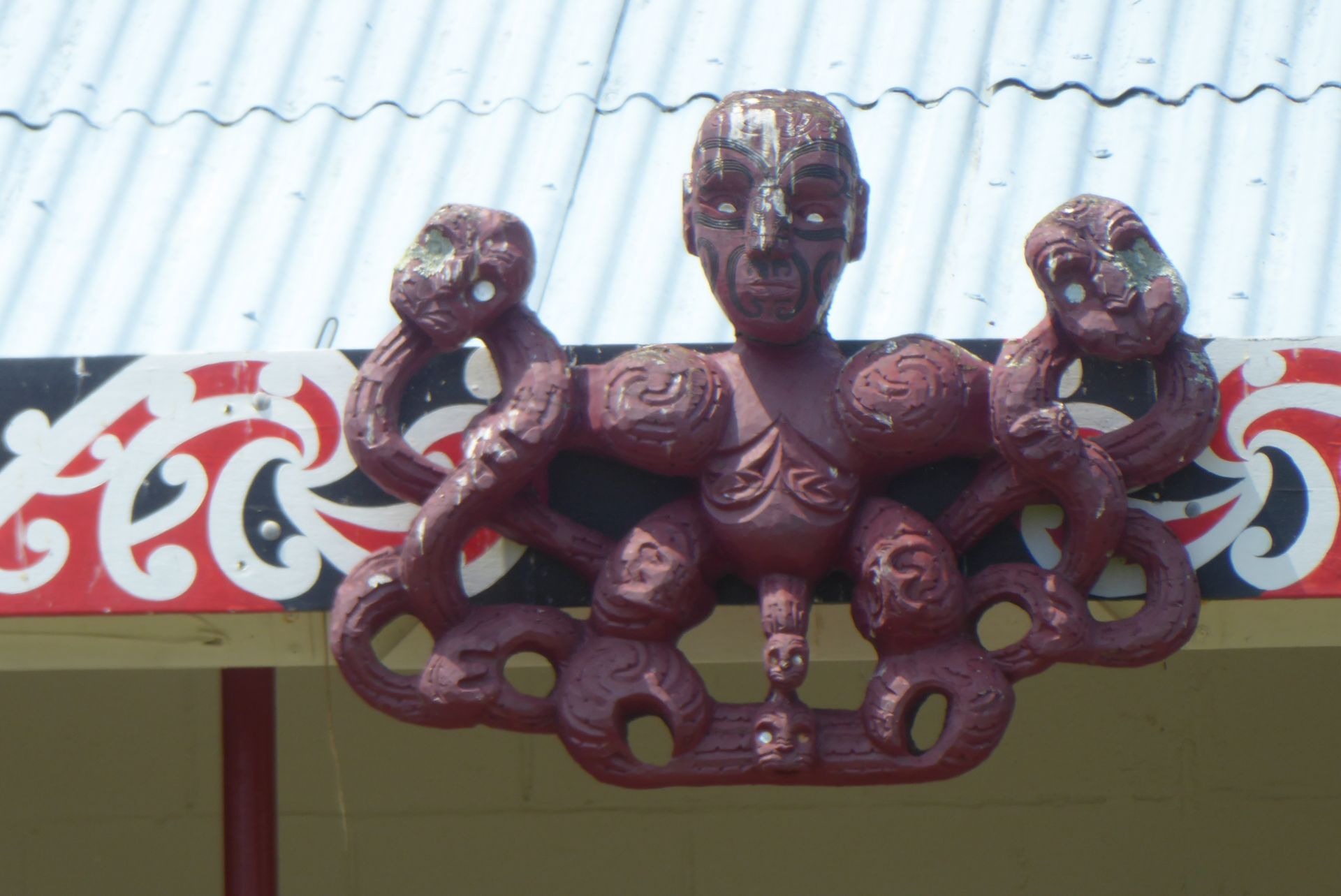
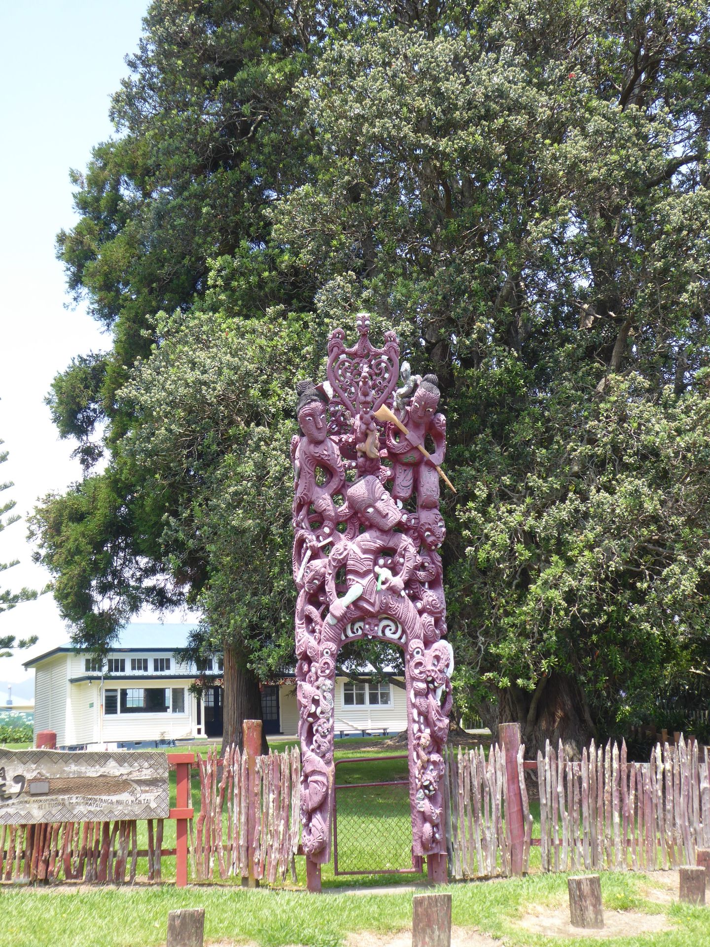
The Mataatua Marae is very impressive. A huge assembly house that is almost 150 years old. Paradoxically, it was built as a gesture of goodwill by the Ngati Awa to Queen Victoria, although the British had caused great distress to the indigenous community.
The marae has a remarkable history, as it was completely dismantled several times and sent around the world. In Australia, it was put together incorrectly, so the elaborate carvings were on the outside instead of the inside and exposed to the elements. It was in various cities in England, collected dust in museum cellars, and then spent over 70 years on the South Island in Dunedin.
In 2011, after 15 years of restoration, it was returned to the Ngati Awa here, at its place of origin and its tribe. I am greeted by a woman, watch a film about the adventurous journey of this building, but unfortunately, I cannot join a guided tour anymore. The last one was at 4pm, and now it's 4:10pm.
Whakatane is considered the longest inhabited settlement in New Zealand. Mythology says that the canoe of the ancestors (named Mataatua, like this assembly house today) landed here. When it was in danger of being carried into the sea by the current, Wairaka, the daughter of the captain Toroa, saved the canoe Mataatua. With the exclamation 'ka whaka tane au I ahau' (I have to act like a man here), she and other women saved the canoe, and that's how the place got its name. Whether the men were in the pub at that time is not recorded 😉.
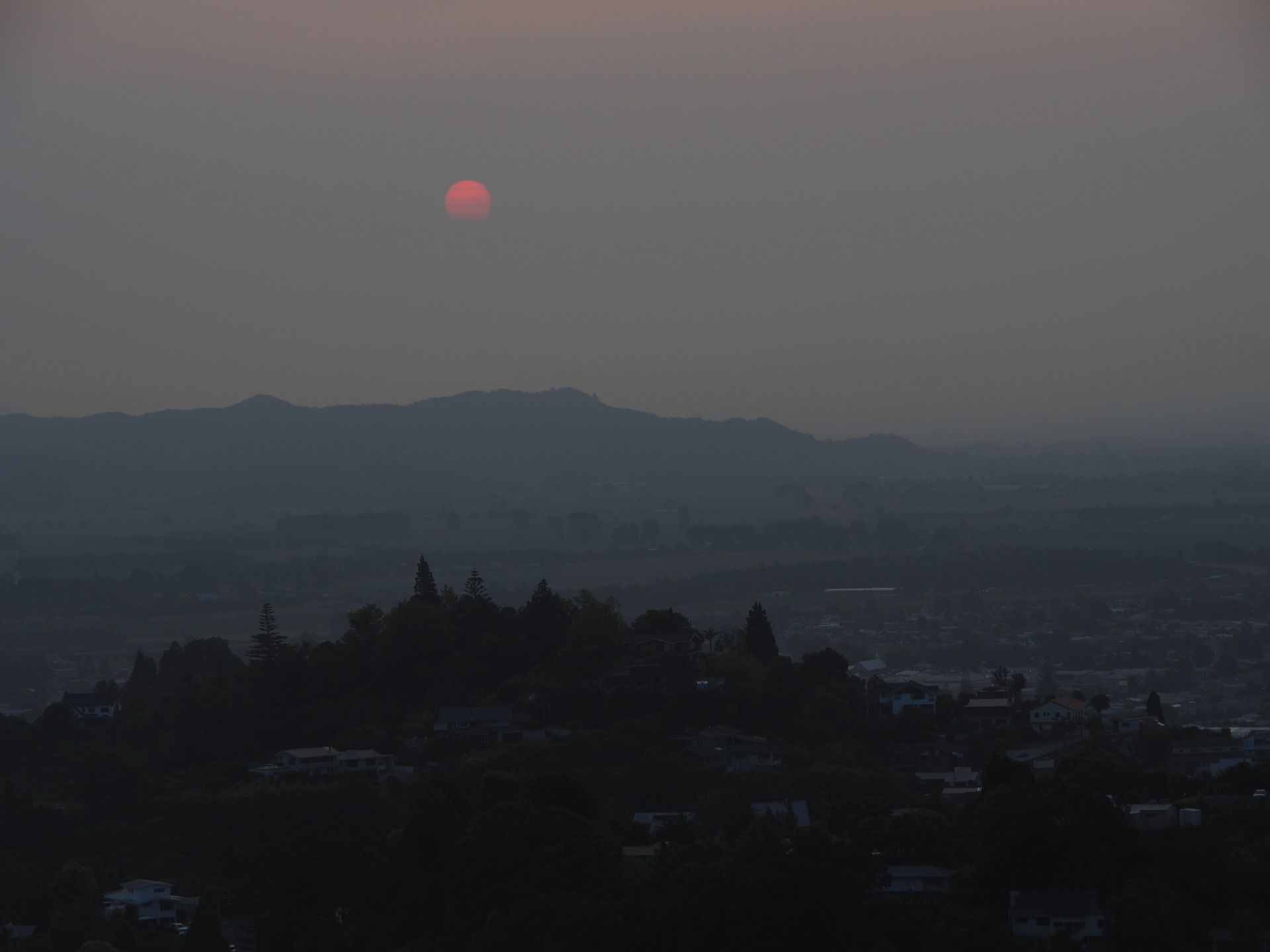
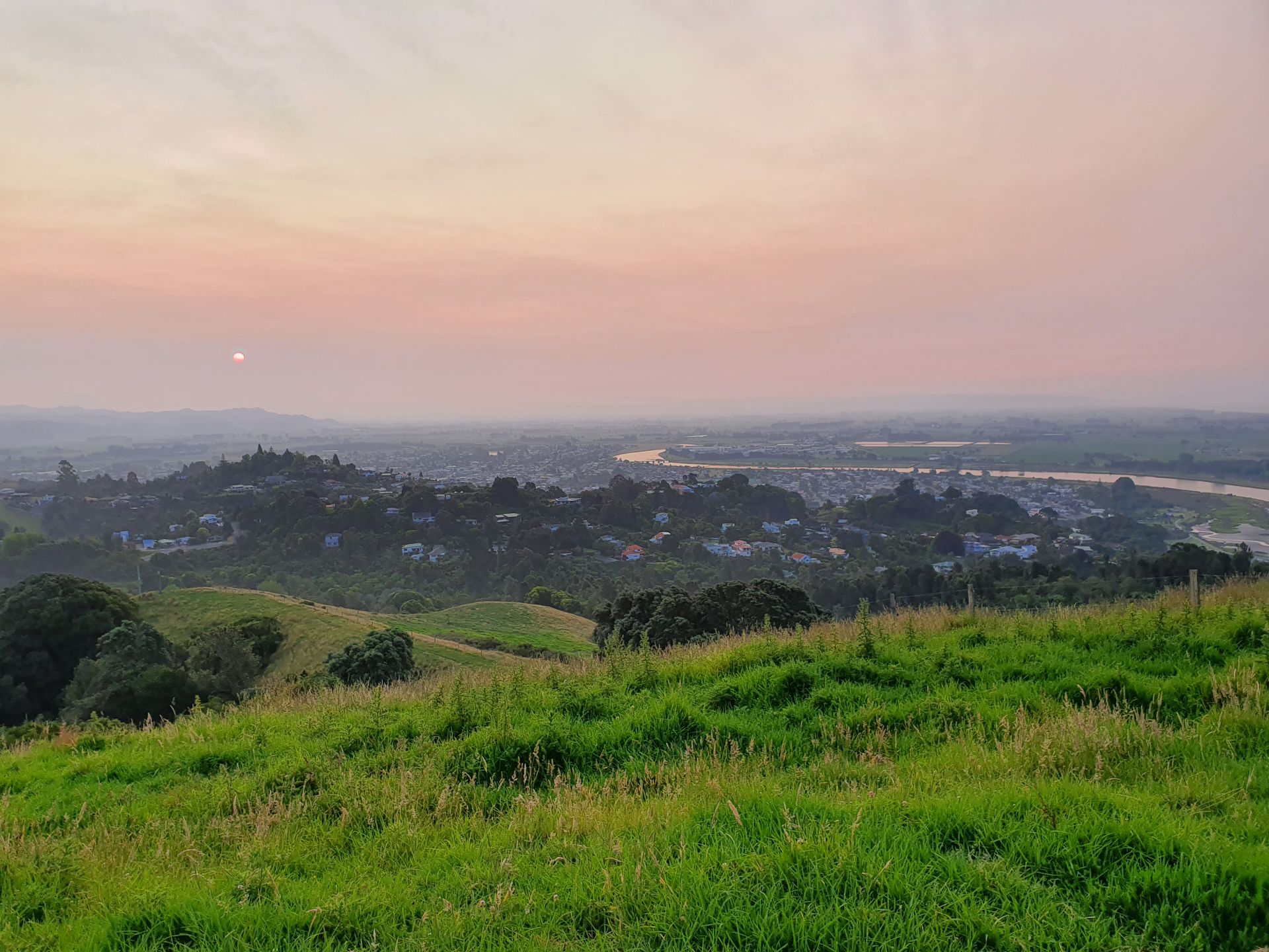
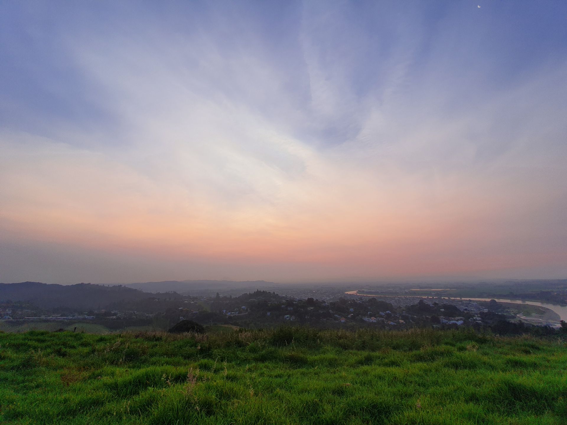
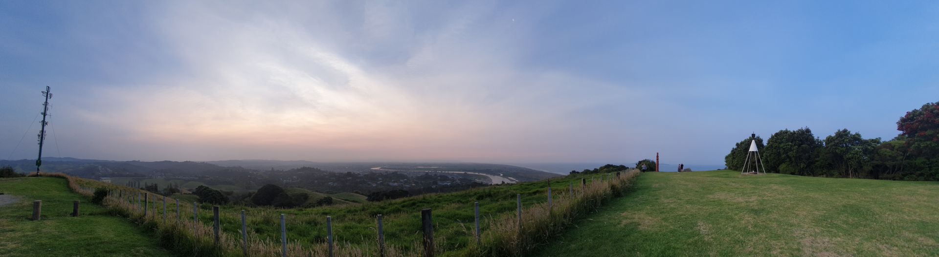
After returning to the campsite, I have a big cup of coffee. It is already 7pm when I finish writing this text in the mild sun. After reheating a canned meal, I drive to the Kohi Lookout, about 6-7km from here. From up there, you have an incredibly great view of Whakatane and the Bay of Plenty, but unfortunately not so much of the sun, which also disappears behind high smog clouds before it can sink. This haze is also hanging over the sea, you can only just see Whale Island, but White Island is not visible. This is due to the effects of the bushfires in Australia, more than 2000km away.
নিউজলেটার সদস্যতা
উত্তর

ভ্রমণ রিপোর্ট নিউজিল্যান্ড