2nd day/ Mauritius- Black River Georges National Park
Wɔatintim: 09.11.2019
Kyerɛw wo din wɔ Newsletter no mu
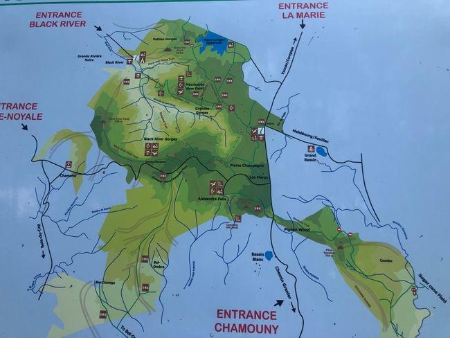
After a nutritious breakfast, we set off at 9 am (which is not early) towards Black River Georges National Park. It is the largest park on the island, covering 6.5 hectares and 3.5% of Mauritius' area. It is also designated as a UNESCO World Heritage site and has approximately 60 km of hiking trails. Even for those who are not keen on hiking, you can still explore the numerous waterfalls and viewpoints by car.
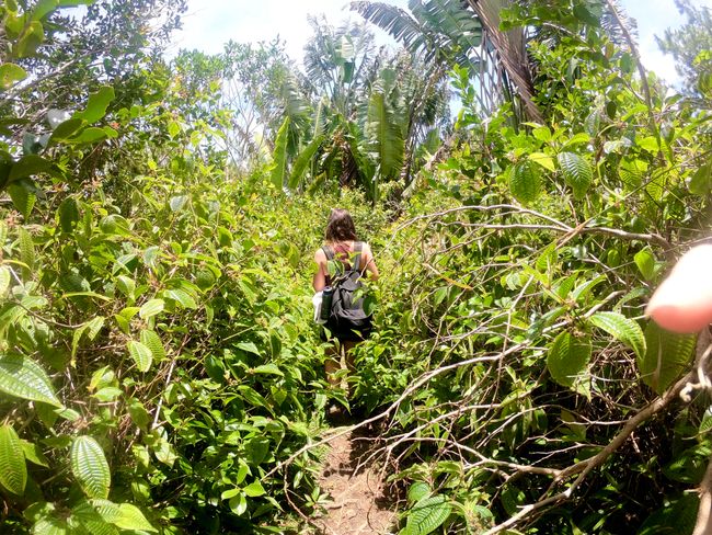
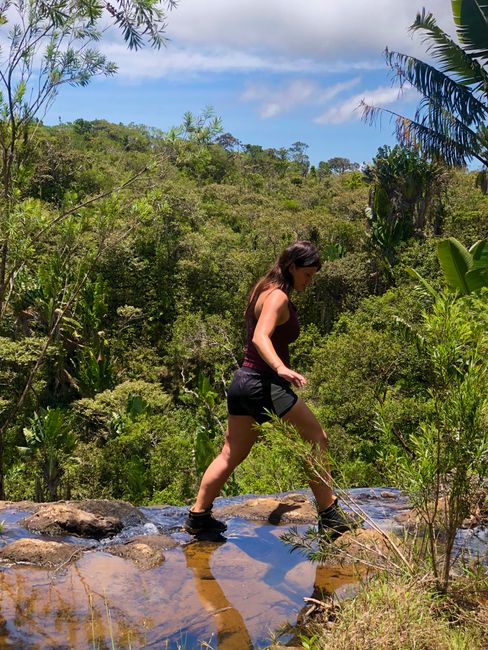
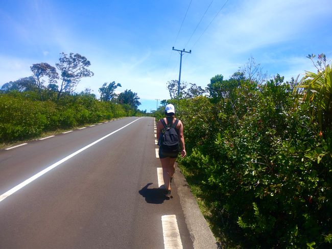
Without a map or GPS, we found one of the two Visitor Centers of the national park named Pétrin. The roads inside the park are well-built and signposted. From there, we took the trails de les Mares, Paillen-en-Queue, and Trochetta until we reached Georges Viewpoint. There were some nice souvenir stalls and a small cart selling drinks and ice cream (very expensive). We also saw monkeys being fed ice cream by tourists, so they were not really afraid of humans.
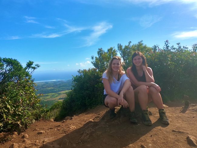
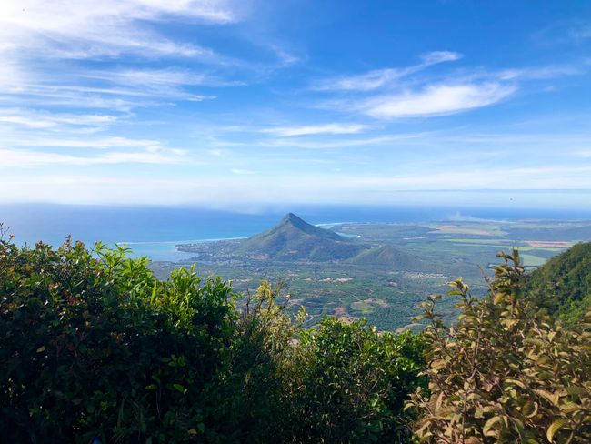
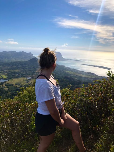
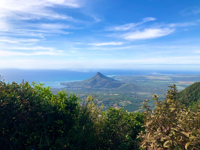
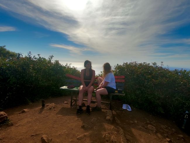
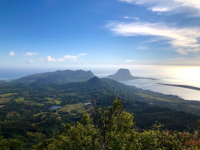
We continued hiking up to Black River Peak, the highest mountain in Mauritius at 828m. It took us about 1 hour and 15 minutes to reach the top. The path was relatively easy, with some ups and downs, but towards the end, there was a small section where we needed to use our hands and feet. There were ropes to assist us :) When we reached the top, it was just the two of us, completely alone with a magnificent view!
After spending an hour there and having something to eat, we started our way back as it was already 4 pm. This is quite late here in Mauritius. Since the distances described on the signs were incorrect, we ended up walking into the night until a very nice couple gave us a ride back to our car. Exhausted, we arrived at our accommodation, had some food, and went to sleep :)
Kyerɛw wo din wɔ Newsletter no mu
Anoyie
Akwantuo ho amanneɛbɔ Mauritius na ɛwɔ hɔ

