Fraser Island - Part 1
Wɔatintim: 21.10.2019
Kyerɛw wo din wɔ Newsletter no mu
The two-day guided tour of Fraser Island began in the morning. I debated and researched for a long time whether to explore the island on my own or book with a tour operator. Fraser Island is the largest sand island in the world, and all the roads are made of sand. That means you can only explore the island with a four-wheel drive vehicle, as getting stuck in the loose sand is a real possibility. Getting out of such a situation might be possible with a partner or group, but it's much more difficult alone. That's why I decided to go on a guided tour.
I was picked up in front of the hotel at 7:25 am and taken to the ferry. It was the first day when there wasn't a blue sky in the morning. It was still around 27°C, but the gray sky was a completely unfamiliar sight to me. But it soon changed...
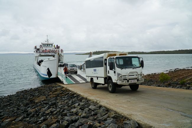
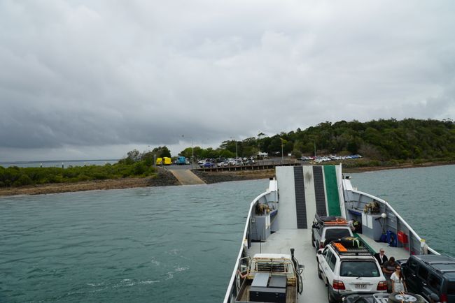
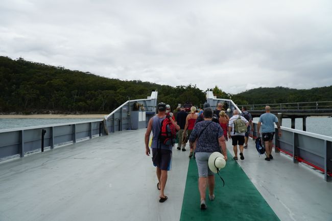
The first thing I found amusing was that all cars, regardless of size, had to reverse onto the ferry, with or without a trailer. For some people who had rented an off-road vehicle specifically for the tour, it was their first challenge early in the morning...
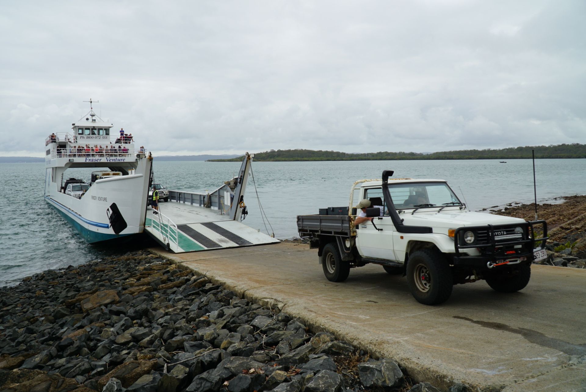
Once we arrived on Fraser Island, the vehicles continued forward from the ferry.
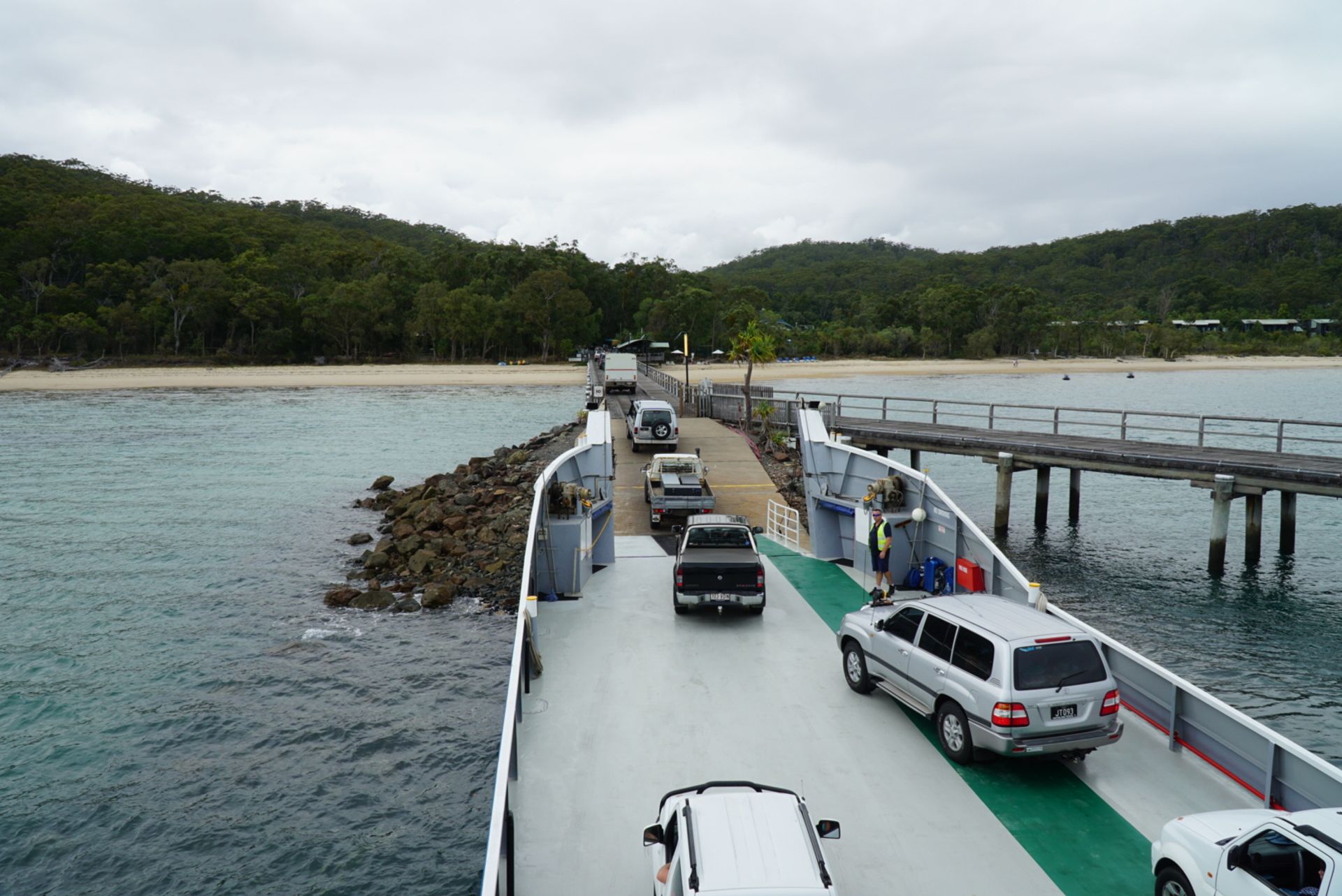
Just like Ayers Rock is now officially called Uluru, Fraser Island is officially called K'gari again, the original name given by the Aboriginal people. It translates to paradise.

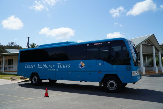
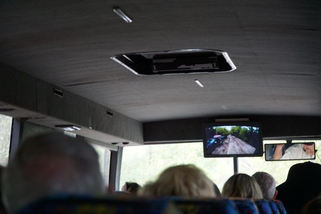
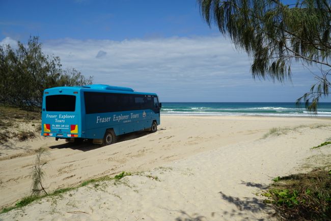
On the island, our bus was already waiting for us. It was a special vehicle with all-wheel drive and, as the driver emphasized, a German MAN engine... The road is only paved for about the first hundred meters...
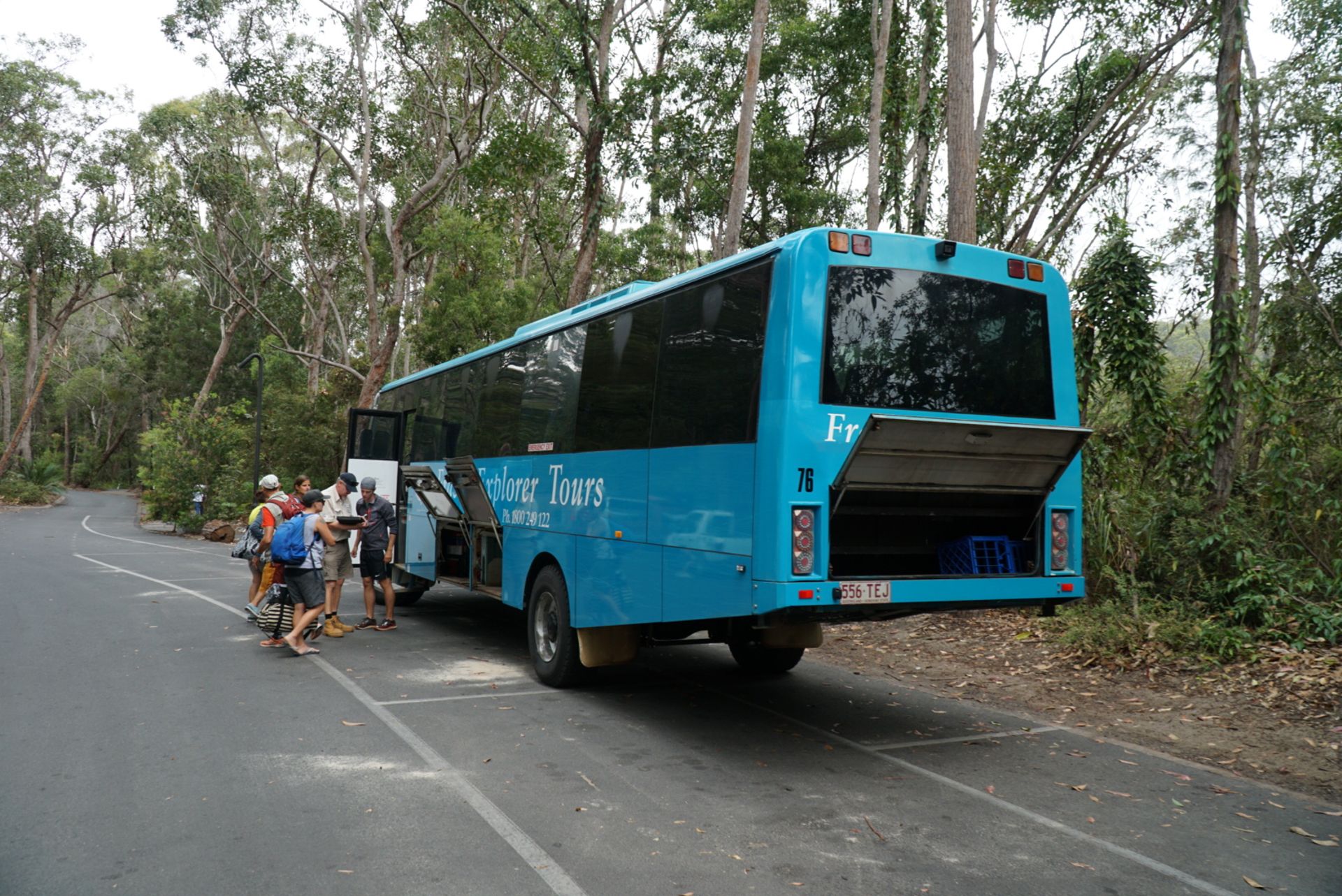
This is what the entire interior of the island looks like...

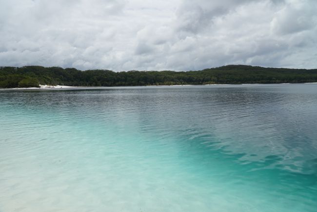
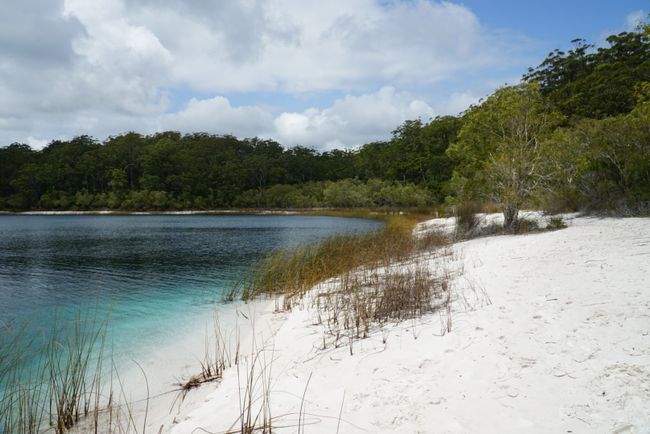
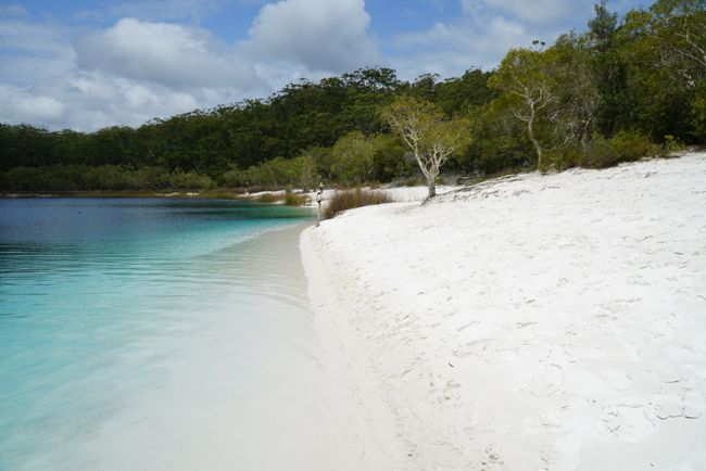
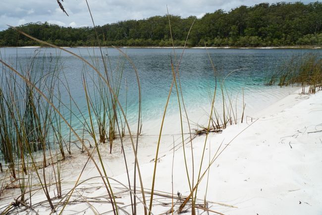
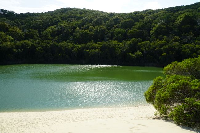
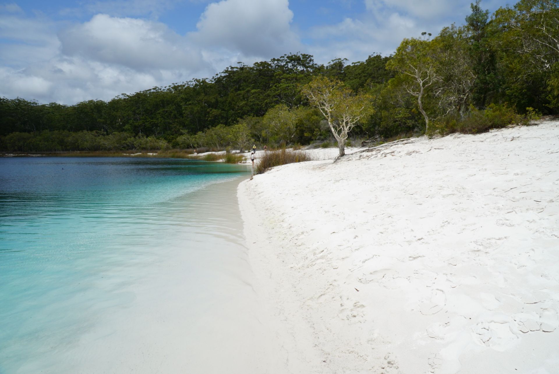
Our first stop took us to one of the 60 freshwater lakes on the island, Lake McKenzie, which is 5 meters deep and has a crystal-clear white sandy beach. And just as I set foot on the sand, the sun slowly came out.
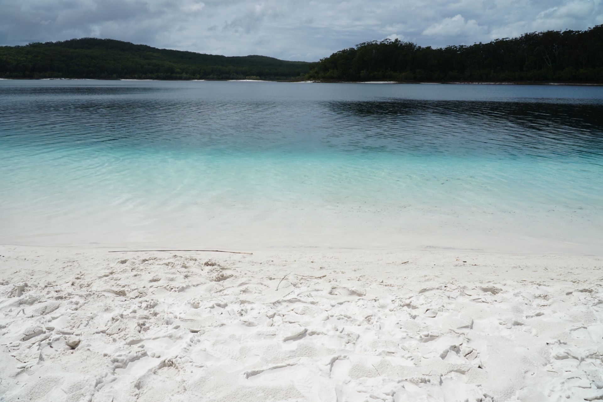
Miraculous things are said about the water. If you bathe in the lake and completely submerge, you will come out 10 years younger... A fountain of youth, so to speak. I tried it, it's not true... But the fact is that the water has a very low pH level, which is good for the skin and hair.
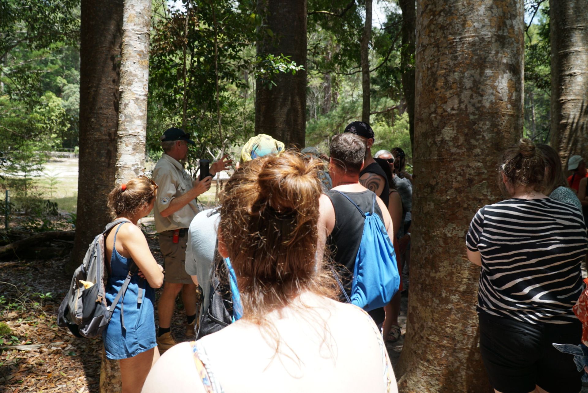
The next stop was 'Central Station,' an old logging settlement and the starting point of a short walk through the rainforest. Many trees were felled here, some of them 1000 years old. And sometimes the 15 children in the settlement weren't enough to encircle the trees when they held hands... It is unimaginable to cut down such trees from today's perspective, but back then it was probably backbreaking work to fell and dismantle them 'by hand.'
The Satinay pines, which are only found here, were used to build the Suez Canal and rebuild the London Docks after World War II, as the wood decays very slowly in water. Ship masts were mostly made from Kauri pines. Once you see photos of the tree, you'll understand why...

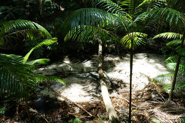
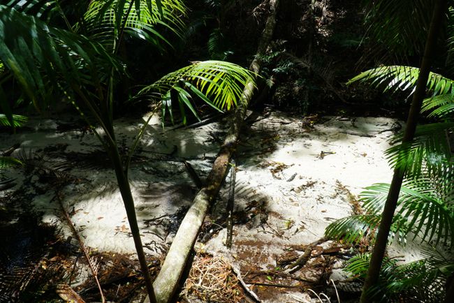
There are small streams flowing everywhere. I tried to photograph them, but even with the naked eye, it's hard to see the water. That's how clear it is...
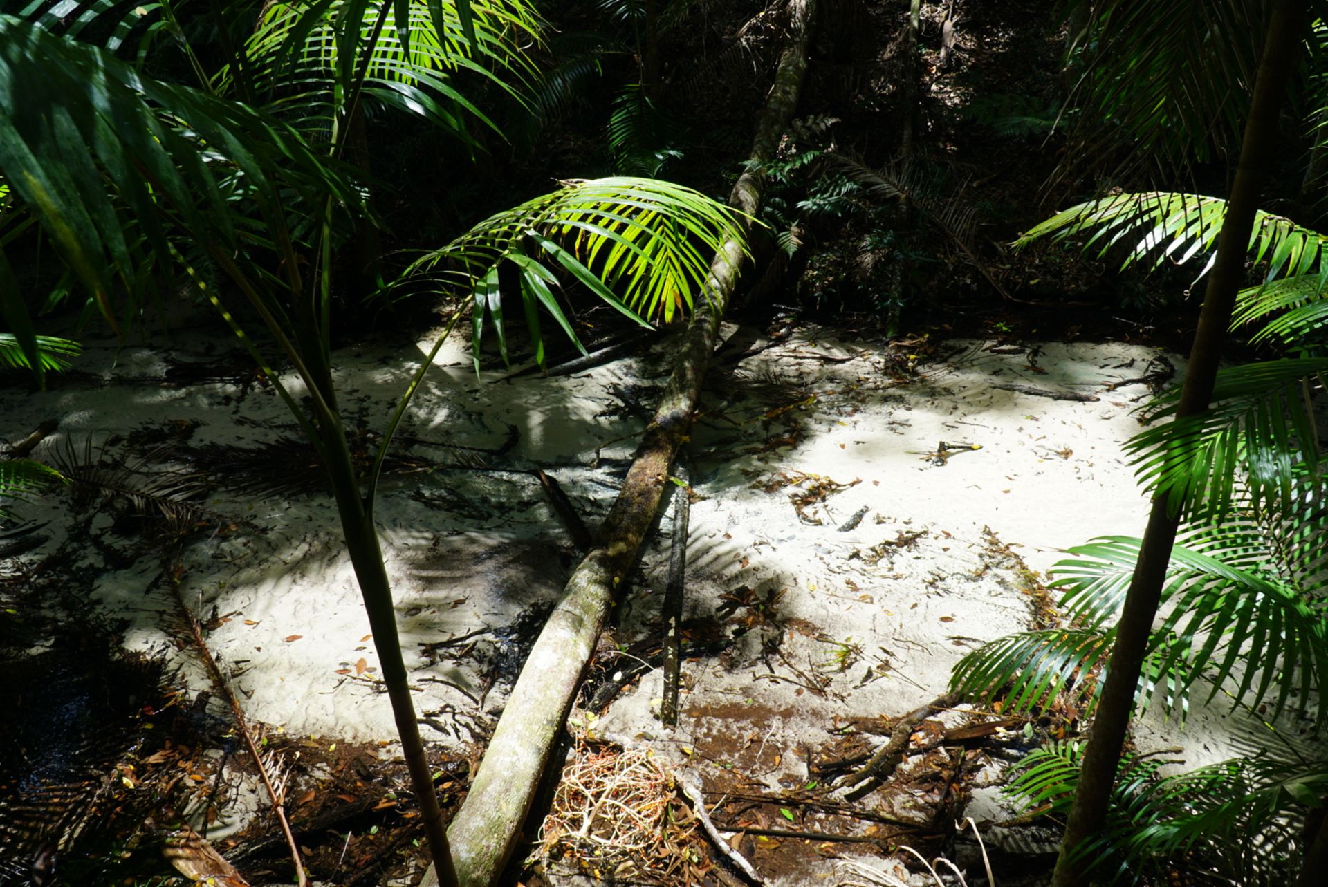
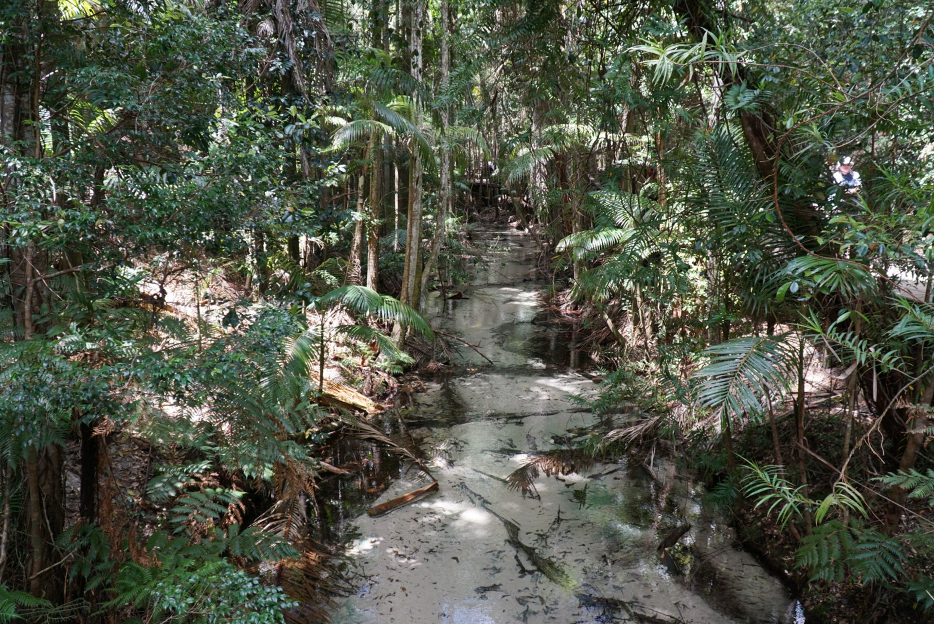
Water is abundant on this island and is of excellent drinking quality. The rainwater must pass through sand up to 100 meters high in some places, then it is filtered for almost 7 years until it reaches a natural water reservoir with a capacity of over 80 million liters under the island. Freshwater streams also flow into the sea along the beach.
After the rainforest, we headed towards Eurong, a small town on the east side of the island that consists of a resort and a few shops. We were supposed to have lunch there, but our journey was abruptly halted... by a car stuck in the sand. However, it turned out later that the car did not have all-wheel drive. So it was their own fault... Throughout both days, the bus always had a front-facing camera running, showing us the driver's perspective. This camera allowed us to witness the bus and driver pulling the vehicle out of the deep sand live... After this incident, the bus driver was even prouder of the MAN engine in the bus...

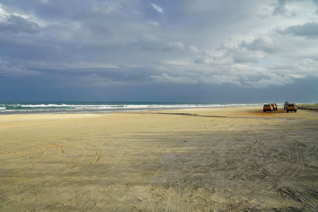
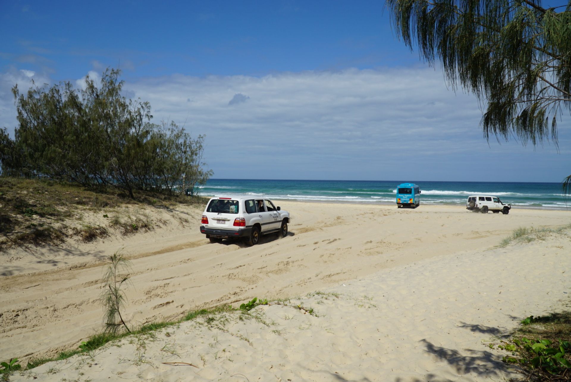
After lunch, we drove for the first time on the highway on the east coast, which is located right on the beach... There are traffic regulations with speed signs, exits, entrances, and regular police patrols.
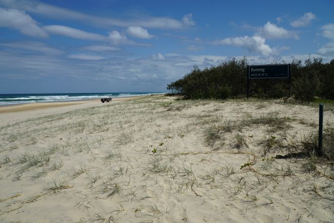
Eurong is one of these exits.
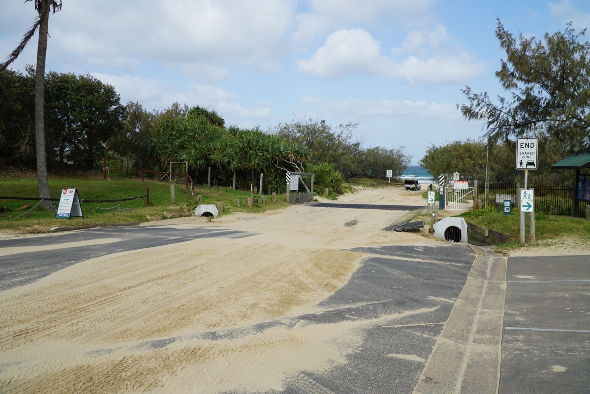
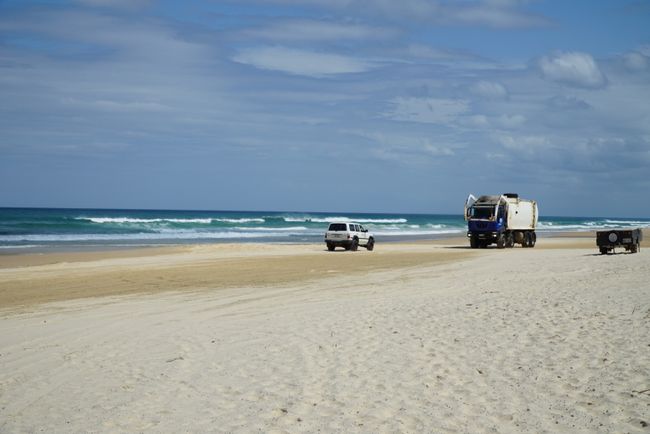
And there is busy traffic here.
Even the garbage collection can only drive along the beach.

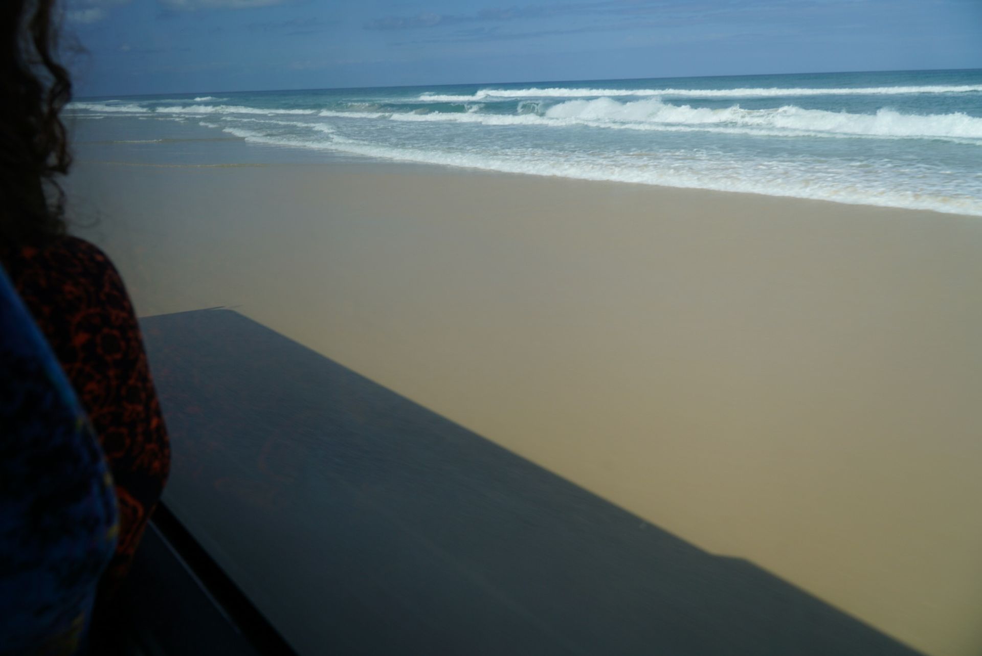
And so, you drive along the beach at speeds of up to 80 km/h. At low tide, the highway is quite wide and solid, but at high tide, it can get narrower, and vehicles have to drive in the soft sand. The highway is about 75 miles long.
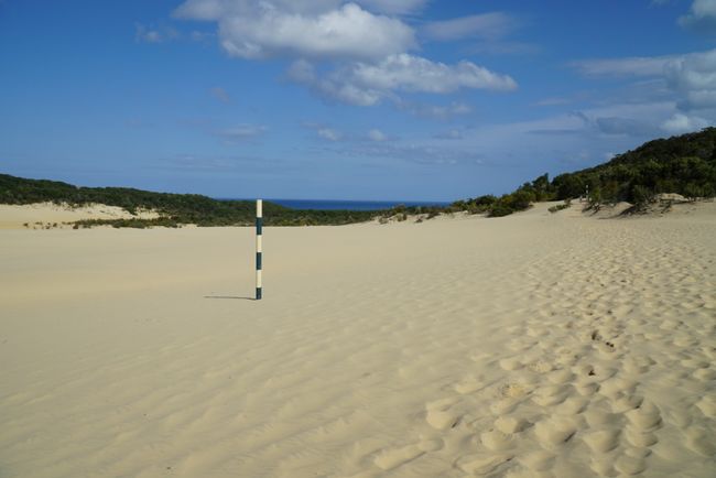
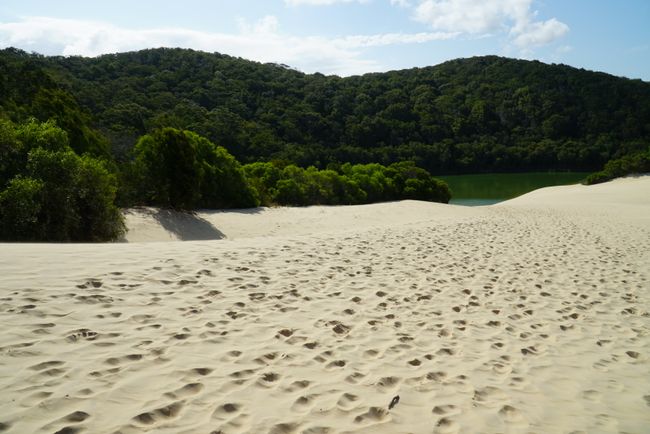
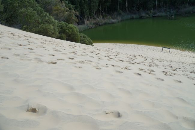
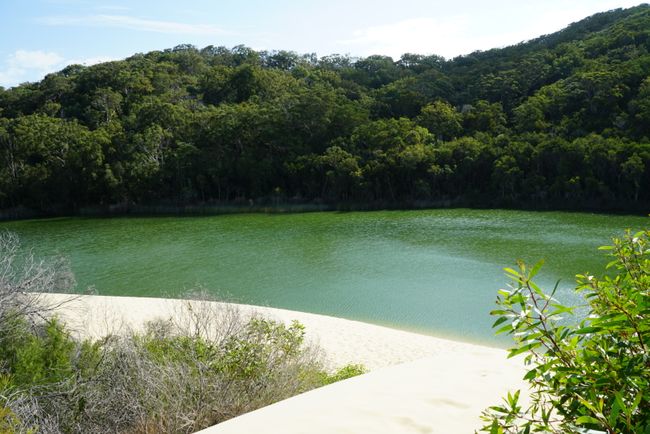
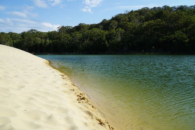
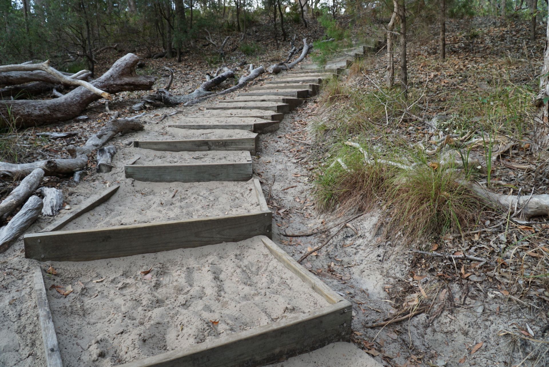
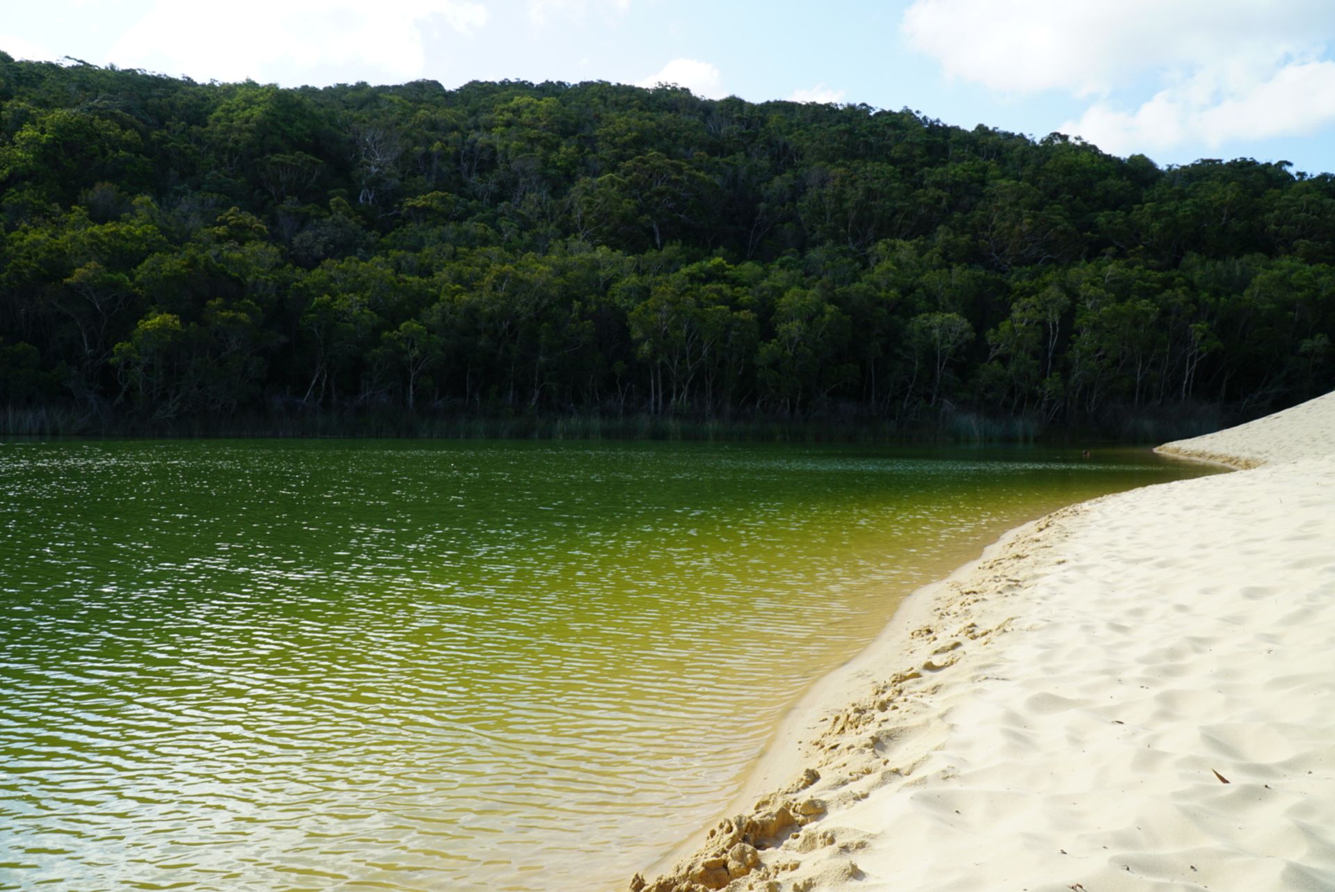
Our last stop on the first day was Lake Wabby. Unfortunately, it can only be reached via a 2.5-kilometer walk. And what did we have to overcome on this way? Of course... stairs. This time not made of stone, but filled with sand.
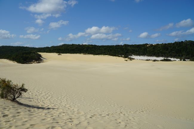
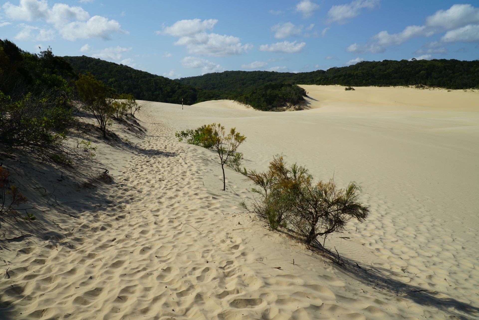
But eventually, we arrived, and in front of us, there was a huge sand dune.

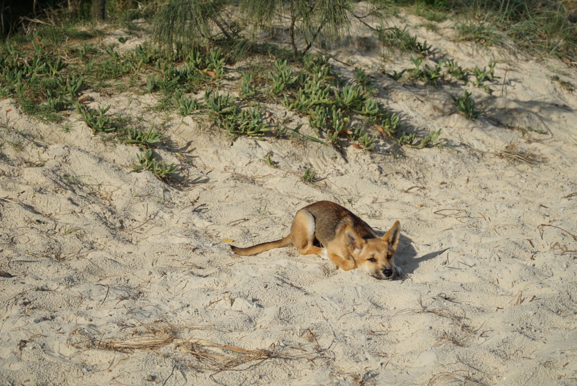
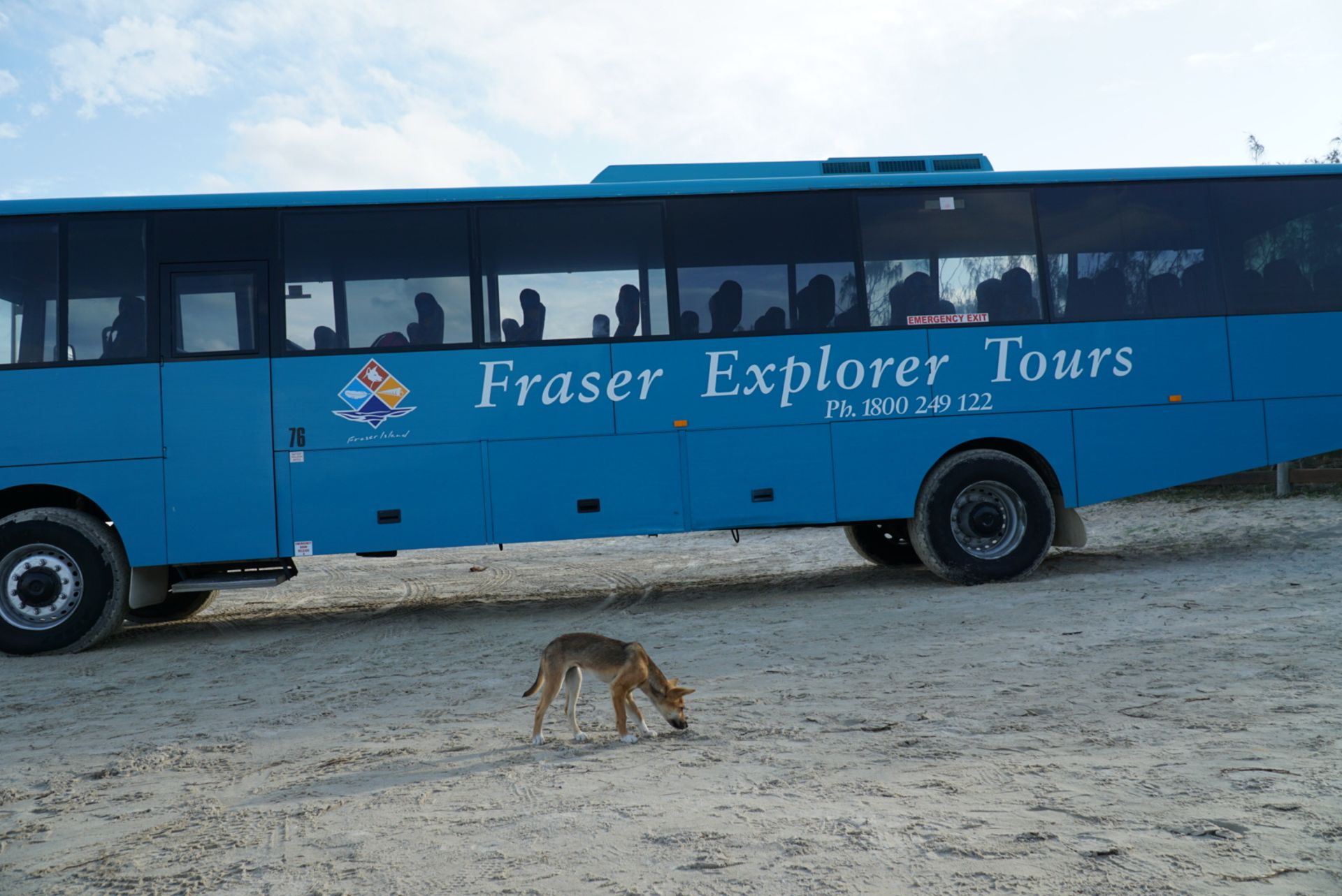
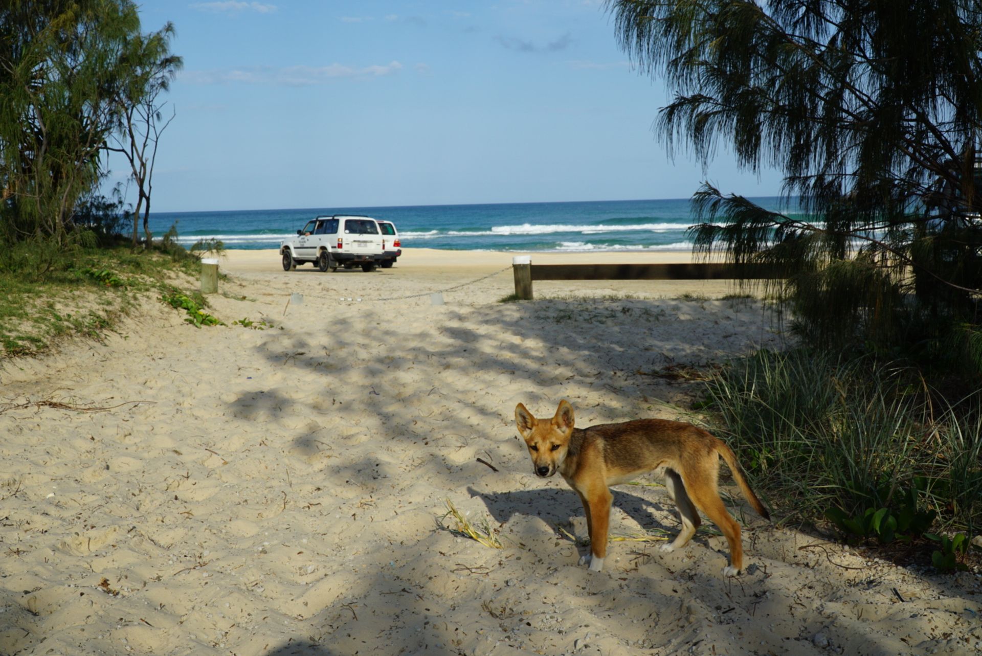

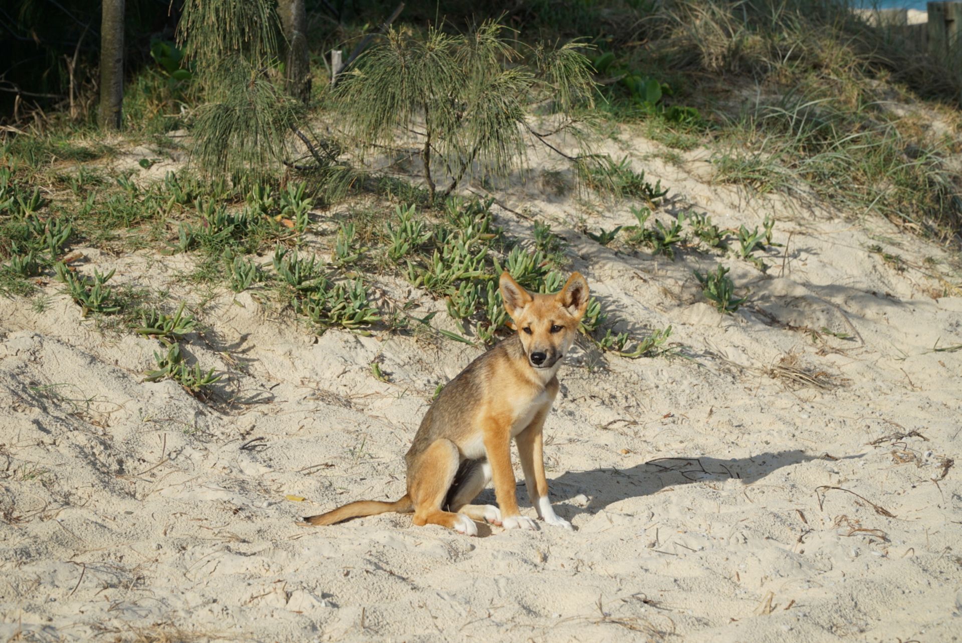


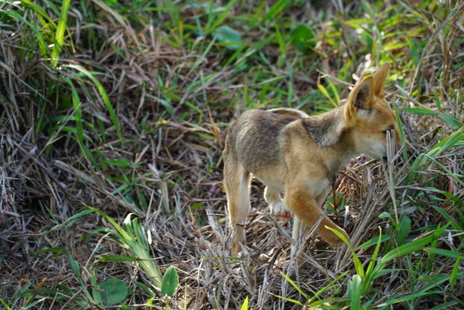
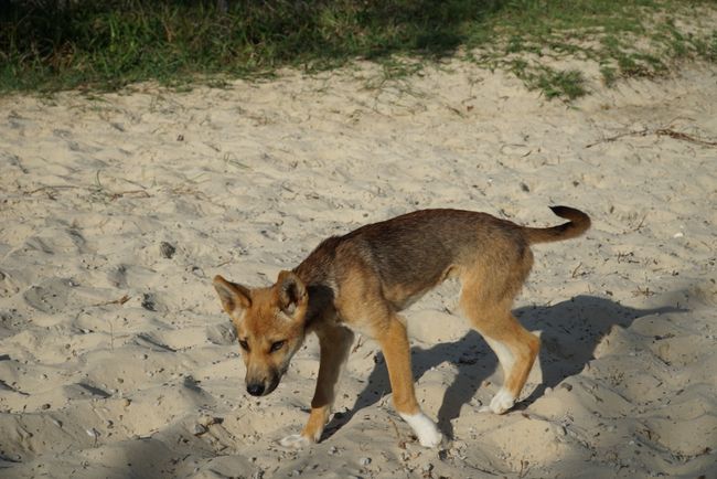
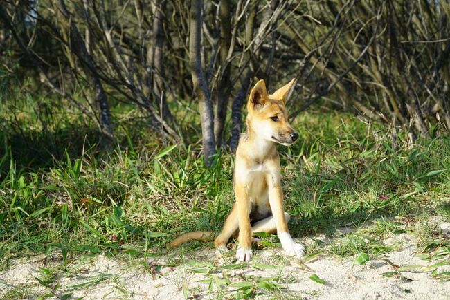
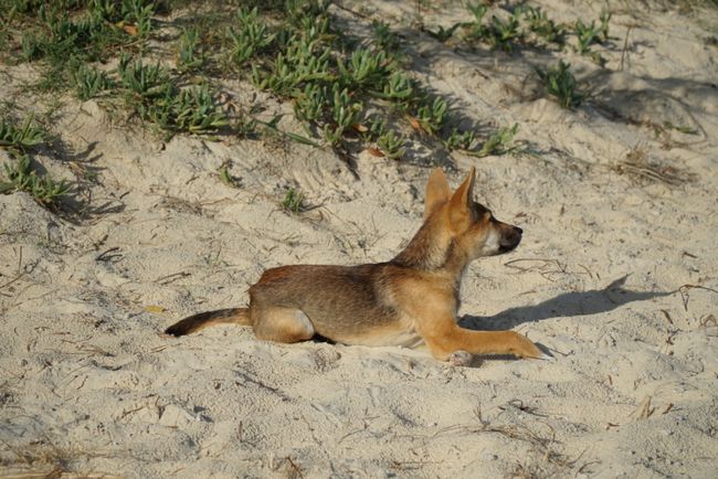
Then the puppy disappeared into the bushes before anyone from the group made it back to the bus. I had the experience all to myself...
Afterward, we went to the hotel in Eurong, where I spent the night with three Swiss people. But more on that and the second day in Part 2.
Kyerɛw wo din wɔ Newsletter no mu
Anoyie

