angysabbatical
vakantio.de/angysabbatical
Cotopaxi
Wɔatintim: 05.04.2023
Kyerɛw wo din wɔ Newsletter no mu
Today was an adventure.
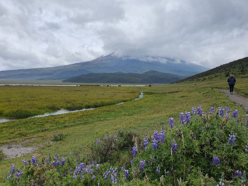
Actually, we started the day quite leisurely, not knowing what to expect. After a two-hour drive to the Cotopaxi Nature Park, where the eponymous and recently active second largest volcano in Ecuador is located, as well as many other dormant volcanoes, we followed a recommendation to circle a small lake at the foot of this huge volcano. Our gaze was always directed upward, hoping that the thick clouds would finally give way to the snow-covered peak.
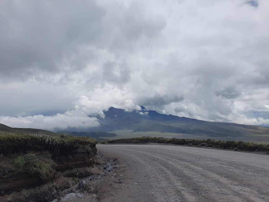
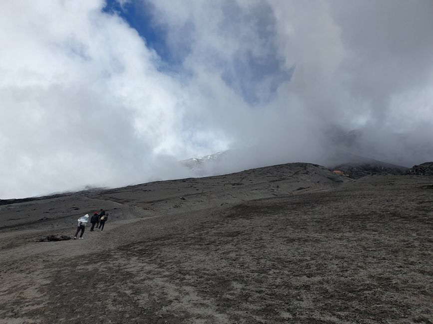
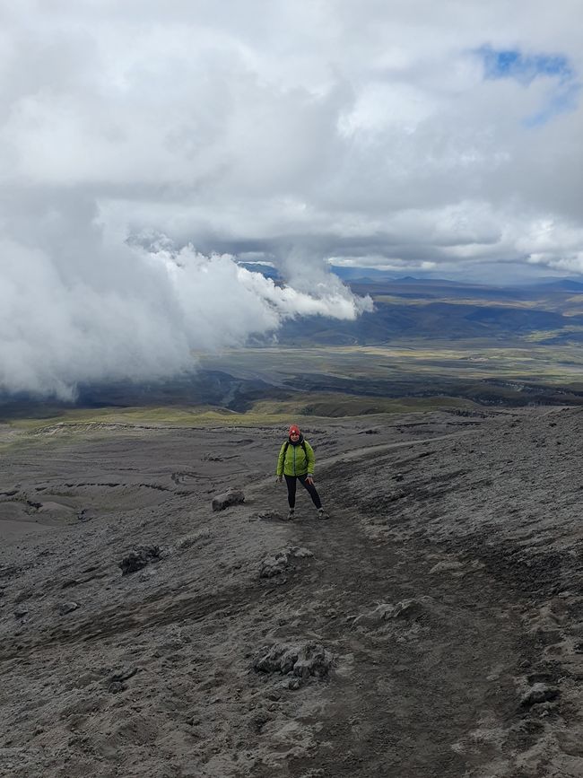
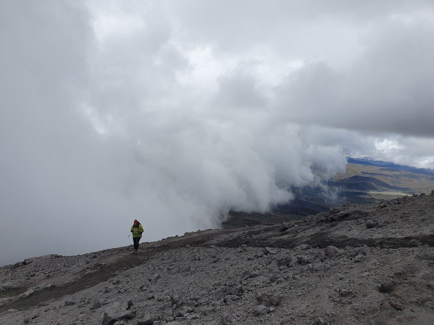
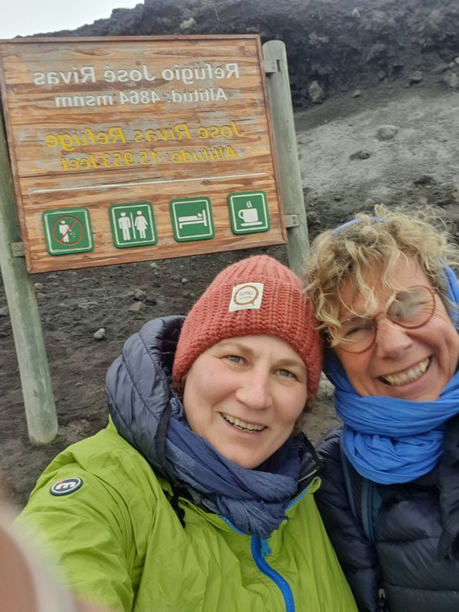
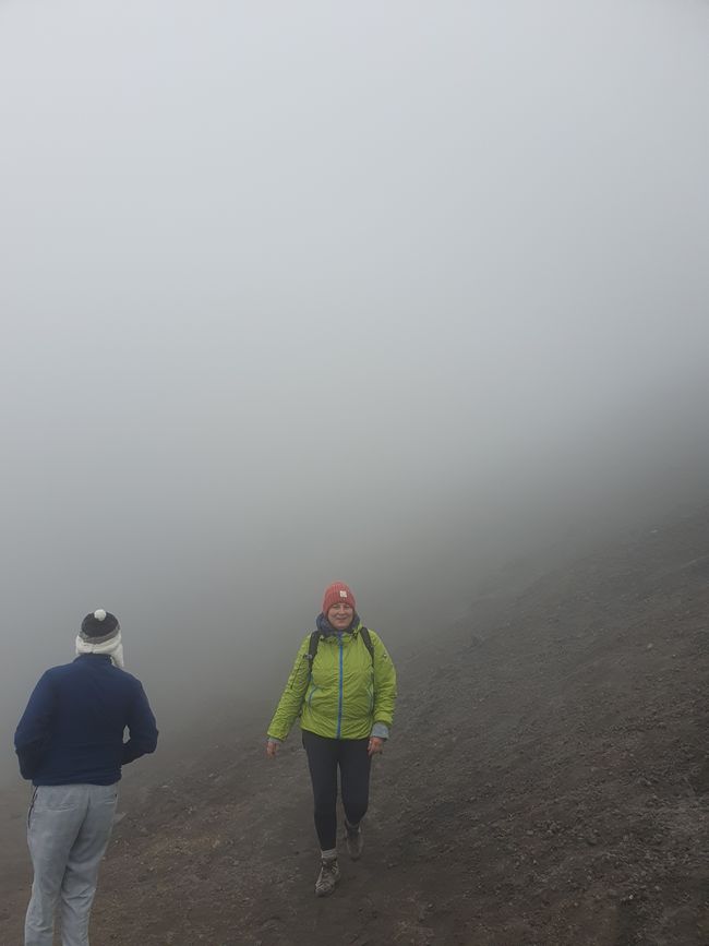
Since the sun was able to break through the thick clouds from time to time, we were itching to get a little closer to the glacier on the south side. So we drove up a gravel road (only possible with 4x4 drive) to the last parking lot and pushed ourselves up the serpentine trail, step by step uphill. That means walk 10 meters, pause because the lungs are working hard and a slight dizziness sets in, coca candies help a bit to cope with the lack of oxygen due to the altitude. We actually only wanted to go for three or four bends, but the landscape is so fascinating, there was no turning back, the rain clouds coming from below drove us up to the refuge at 4864 meters. We were so happy to have arrived here, because by now the rain had turned into light hail.
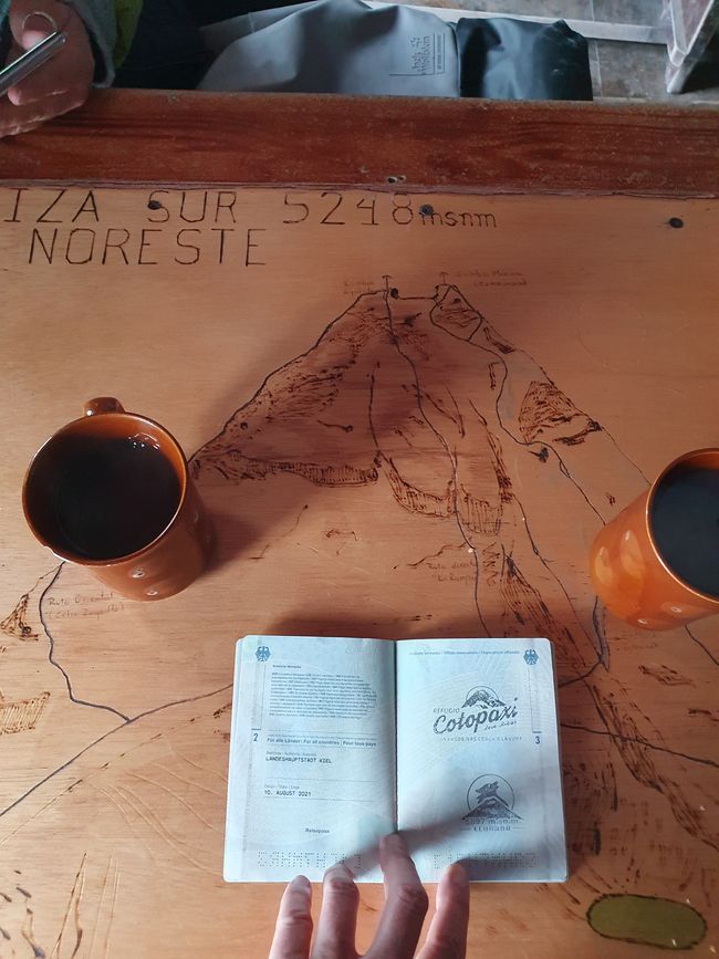
In the refuge, we had a coca tea and a stamp in our passport. But 2 female mountain guards urged us and the other 3 guests to quickly finish our drinks because the weather was really becoming inhospitable. So we had to get ready for the descent again. It went pretty fast, almost in a jog.
But the day was not over yet and had more adventures in store for us.
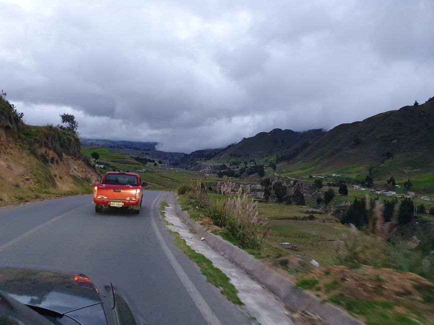
On the parking lot, we picked up 3 French hitchhikers who are on a 2-year world trip. It turned out that their destination is the Quilotoa Lagoon, another nature park that we had planned for tomorrow. Our pre-booked hotel Mama Hilda was a few more kilometers away, so we were able to make the 3 tramps very happy. Unfortunately, the road we wanted to take was closed due to construction work, so we had to be directed along a longer route through the mountain landscape. Without internet but still with GPS, we found our way and dropped off our fellow travelers. It was already dark, but we only had to continue the road for another 22 kilometers - or so we thought - and we were already looking forward to refreshments and good food. But after just 1 kilometer, the road was so broken up that it seemed impossible to pass. So we went back to Quilotoa, where we were assured that we could get past the road damage. So we dared to try it and succeeded, but after another kilometer, the road was completely blocked, so we had to turn back again.
Fortunately, we then found a simple but cozy hostel in the entrance village of the Quilotoa Nature Park, which welcomed us kindly. Here we finally got refreshments and good food.
Kyerɛw wo din wɔ Newsletter no mu
Anoyie
Akwantuo ho amanneɛbɔ Ecuador

