15.12.2017: Thrills on the Skippers Canyon Road
已發表: 20.12.2017

訂閱時事通訊
Today, Eric and I are spending the morning apart for the first time. Yesterday evening, I signed up for a tour on the Skippers Canyon Road. It is at the top of the prohibited list in my rental agreement, but I wouldn't have dreamt of driving it myself anyway, as it is one of the most dangerous roads in the world. Since Eric is not particularly interested in the trip, he rolls over in bed when my alarm goes off at 7:00 a.m.
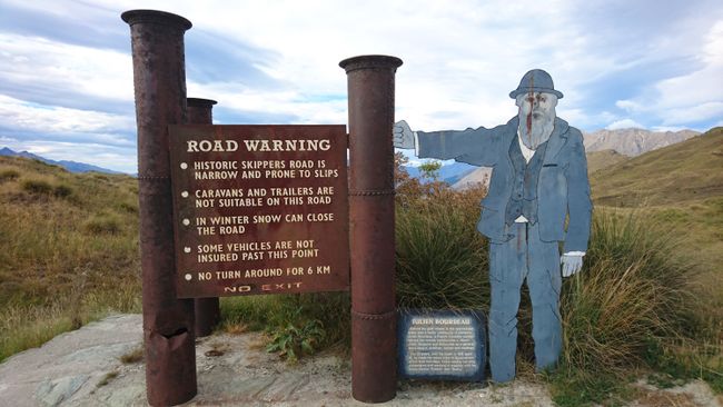
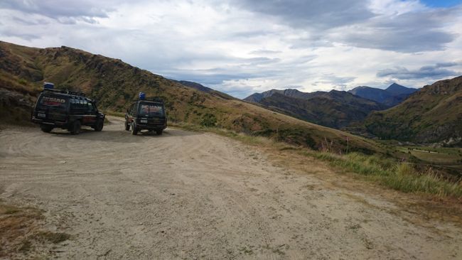
Punctually at 8:15 a.m., I am picked up by a driver from the tour operator Nomad Safaris, who picks up a Kiwi couple on the way. After a few minutes of driving, we turn left from the perfectly paved highway, pass the sign that says 'Backcountry Road', and end up on the unsealed Skippers Canyon Road. Right at the beginning at the first viewpoint, our vehicle doesn't start after the short break, and the three passengers have to push the completely dusty SUV. That's a great start.
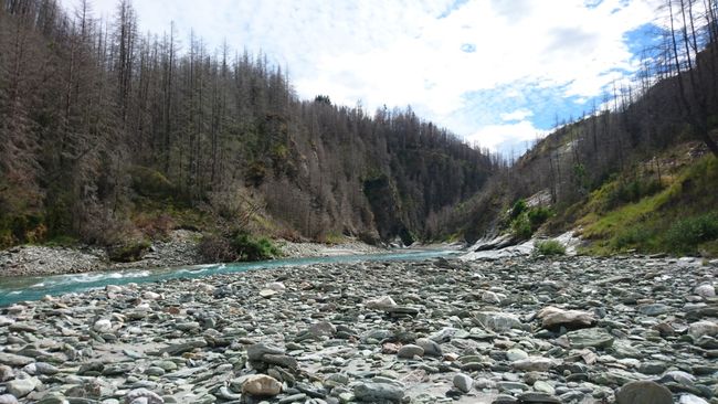
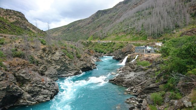
As the name suggests, Skippers Canyon is a gorge through which the Shotover River carves its way. The road was built by hand in the 19th century using pickaxes, shovels, and hand drills, and once led to a gold digger settlement. Nowadays, the journey is the destination for interested tourists, as the days of the gold rush are long gone.
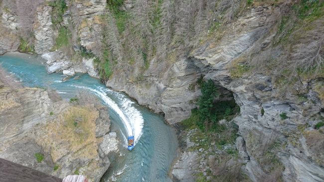
Did you know that bungee jumping, which is now widespread worldwide, was invented and commercialized in New Zealand in the late 80s? Back then, the first public facility (43m free fall) opened at the Kawarau Bridge near Queenstown. Entrepreneur AJ Hackett even operated two bungee locations along the Skippers Canyon Road at one point, but they eventually ceased to be profitable because Queenstown now offers not only easier accessible options for bungee jumping, but also had to give up the title of the highest bungee jump in New Zealand to the Nevis Bungee (134m). However, the bridges and platforms are still there and occasionally still in use. In addition, the road is used as an access road for rafting tours and speedboat rides on the Shotover River, and schools occasionally organize outdoor camps for their students in the valley.
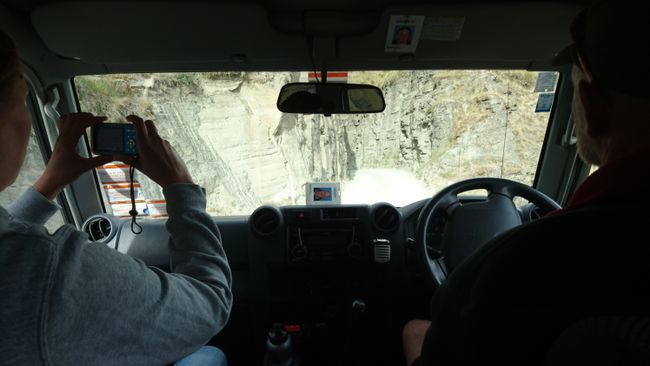
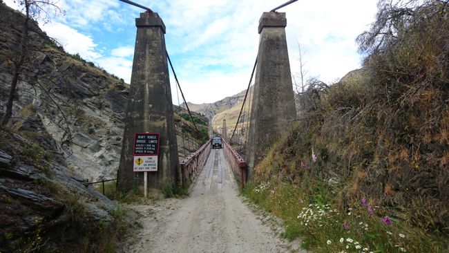
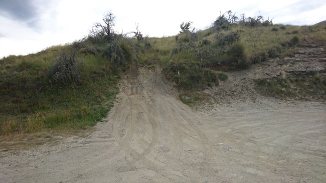
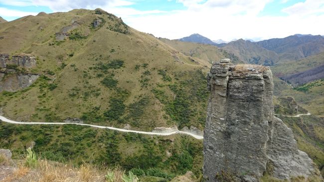
The Skippers Canyon Road usually only has enough space for one vehicle and is bordered on one side by steep cliffs and on the other side by a several hundred meter deep slope. There are no guardrails or other safety barriers, so you cannot afford to make a driving mistake out here, as it would most likely be your last. Nevertheless, I imagined the road through the hinterland to be worse; it looks much narrower in the photos.
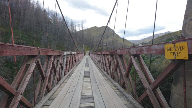
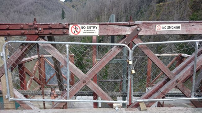
Apart from the fantastic views, one highlight of the Skippers Canyon Road is the Skippers Suspension Bridge, which is almost 100m long and built about 100m above the water. It is the improved successor to the bridge that was first built here in 1866, which was only 6 meters above the water level and could therefore be easily damaged in case of high water.
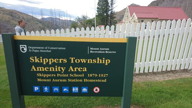
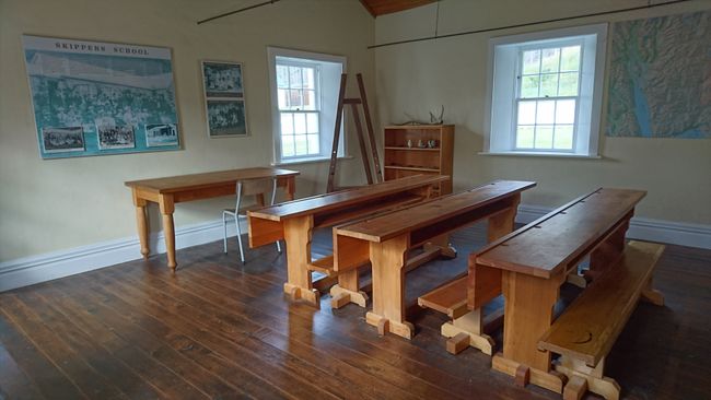
Our tour covers 20 of the total 25 kilometers of the road. We take a break at Skippers Township, where we have coffee/tea and cookies/cake. Skippers Township, once the largest gold digger settlement on the Shotover River and one of the richest gold deposits in New Zealand, now houses a museum with photos from the time of the gold rush. There was even a school back then. It's hard to imagine that 1,000 people once lived in this area and there were even hotels. Instead of hustle and bustle, you can find peace and solitude here nowadays.
On the way back, we stop for gold panning at the exact location on the river where Arwen rode through with the injured Frodo while fleeing from the black riders. Do you remember that she caused the river to swell and thus got rid of the black riders who had just crossed it halfway? This wave was created with the help of a passing jet boat. Hollywood and its tricks ;)
Unfortunately, our hope for a gold nugget is not fulfilled while panning for gold. Each of us washes out one or two specks of gold from the mud and gravel, but we won't get rich with that. In fact, our finds are so tiny that I wouldn't even know how to transport them home. The excursion lasts 4 hours, then I meet Eric, who has checked out and has been strolling around the city in the meantime, at the car.
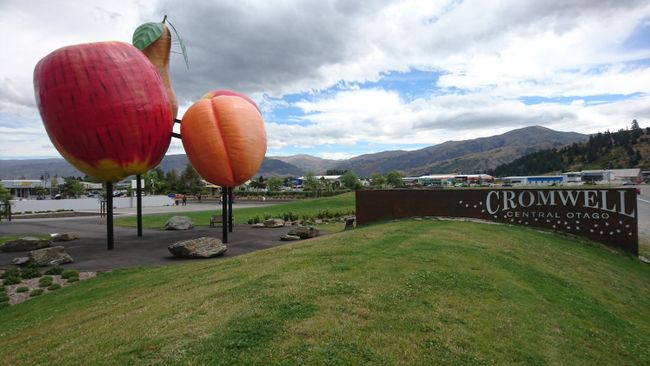
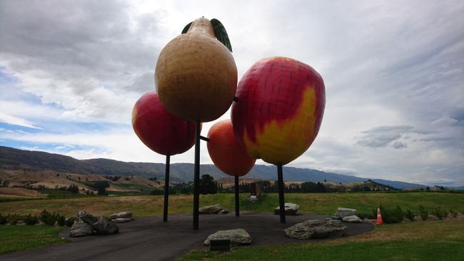
It's 60 kilometers to Cromwell. It's only on my list because of the giant fruit dedication at the entrance to the town - in summer, dozens of seasonal workers find jobs on the many fruit orchards here and in Alexandra, which is 30 kilometers away, where cherries, apricots, pears, and apples are waiting to be picked. We first visit the iSite, where I stock up on dozens of brochures about the surrounding historic places. Then it's lunchtime. While I treat myself to a sandwich and a cookie at Subway, Eric eats fish and chips, wrapped in newspaper, at a snack bar in a classic style.
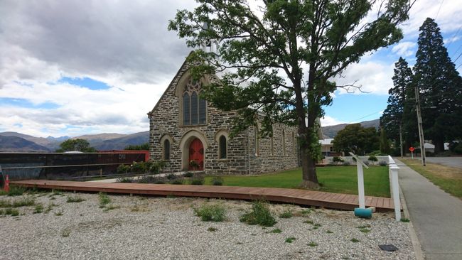
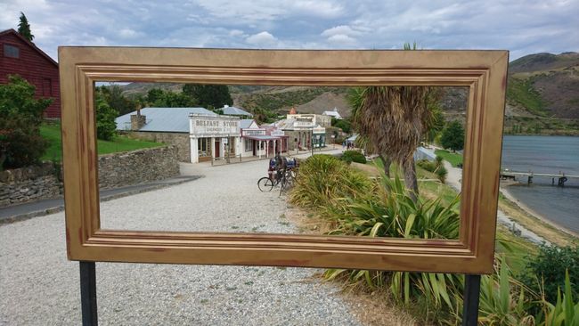
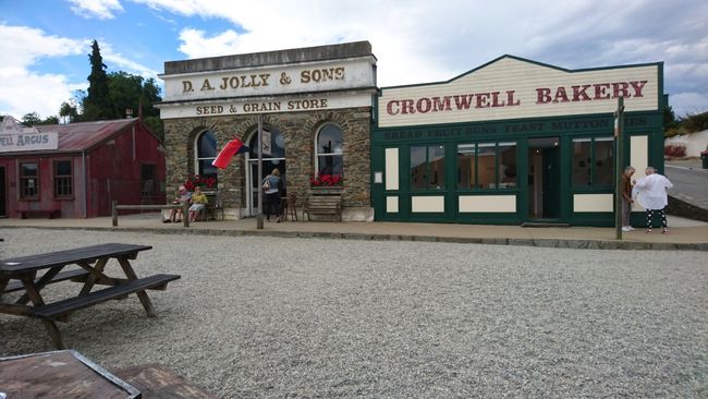
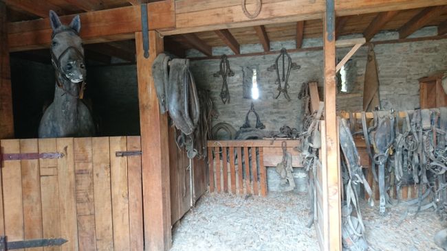
I only discover the historic district of Cromwell, which is located directly on the shore of Lake Dunstan, by chance on the small city map. Off we go, especially since admission is free. We walk around for half an hour among the old restored buildings, which include a stable and a blacksmith's shop, among others. In between, there are small cafes and shops that have taken over the premises of the former bakery and butcher's shop.
We continue to Clyde. Here, too, you can admire some historic buildings. We take a short stroll and find a freezer on the sidewalk filled with apricots (3 NZD per bag) and cherries (2 NZD per bag). We take some of both, put 5 NZD in the trust box, and continue our drive to Alexandra. At this time of year, it's almost impossible to get a bed in one of the only three available hostels, but we were lucky yesterday with the second attempt by phone. Beds in the backpackers are no longer available, but we can sleep at the landlords' house for 45 NZD per person, as they still have 5 double rooms available. It's nice here :) By the way, we are the only ones on site who don't pick fruit during the day, but actually just enjoy our vacation.
訂閱時事通訊
回答 (1)
Matthias
Dürftest du denn das gefundene Gold überhaupt mit nach Deutschland nehmen?
旅遊報告新西蘭

