
The Taroko National Park
已發表: 20.02.2020
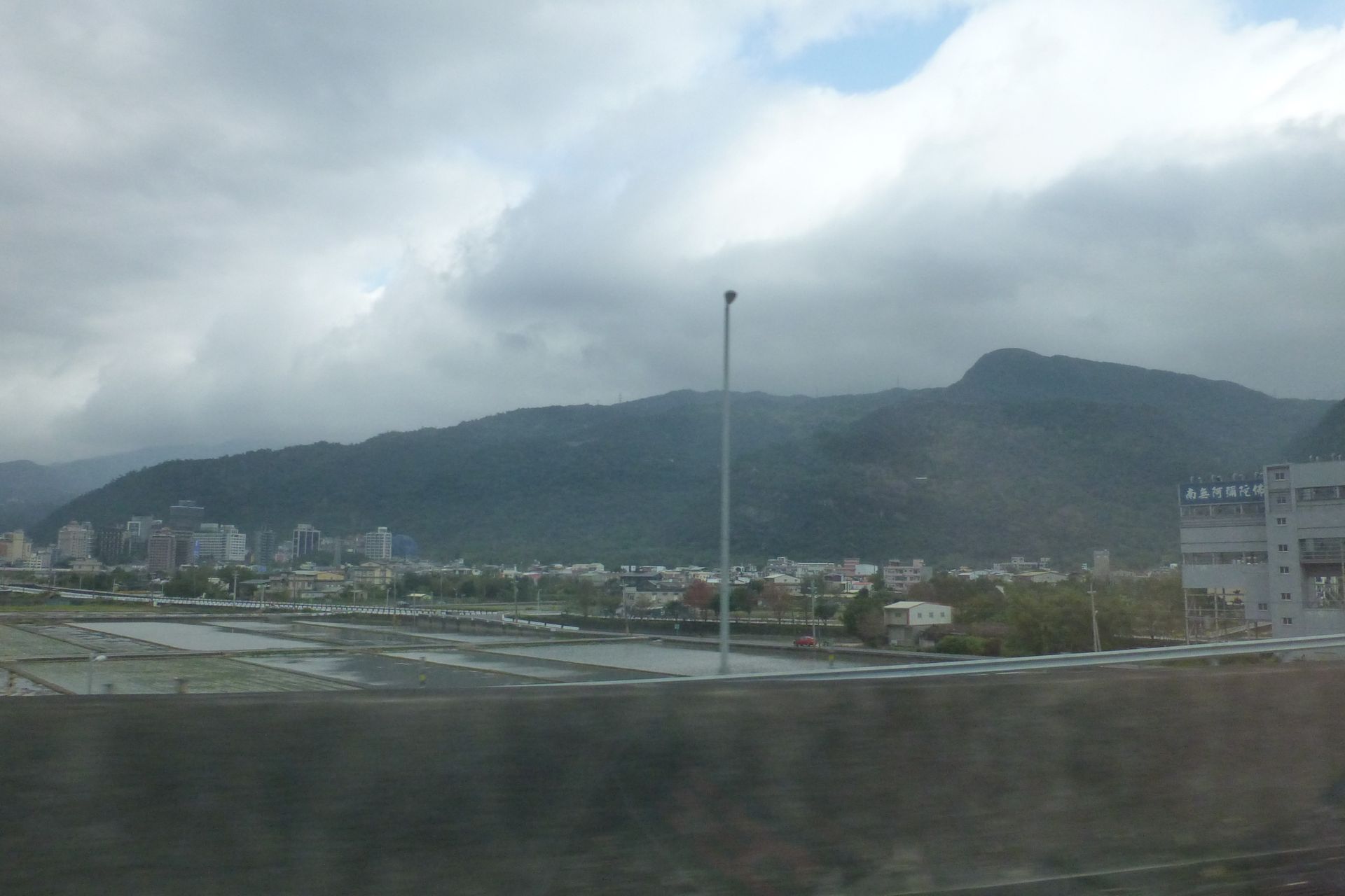
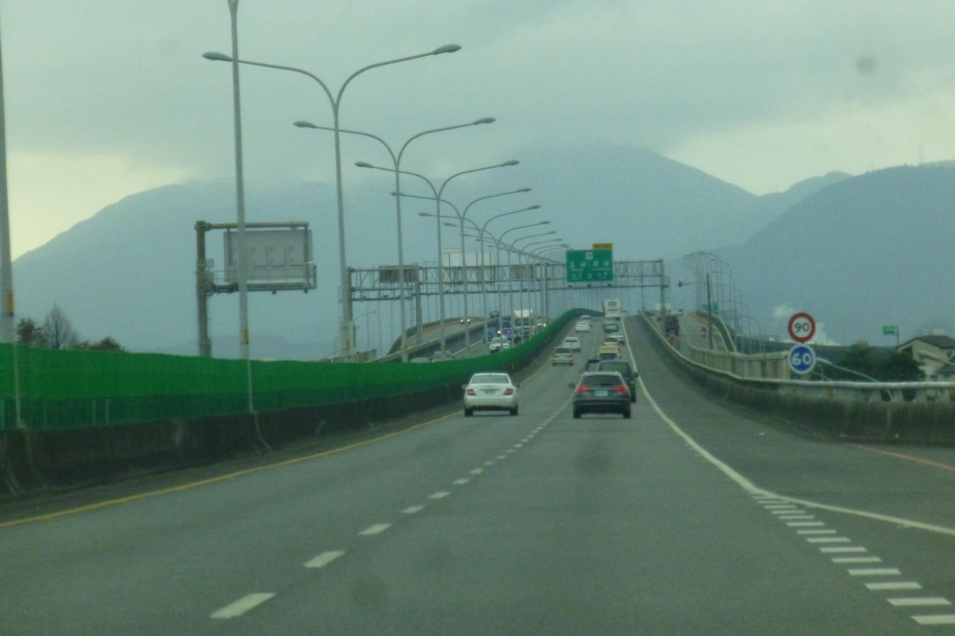
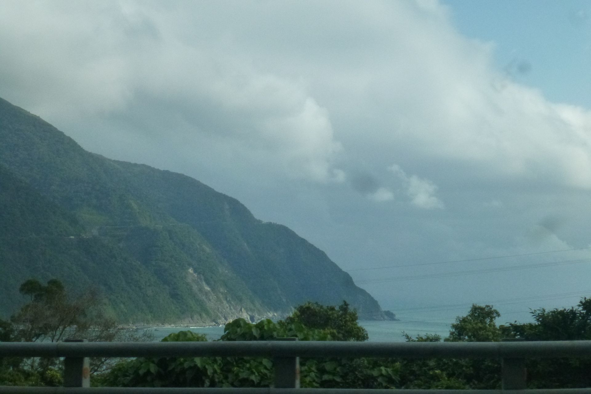

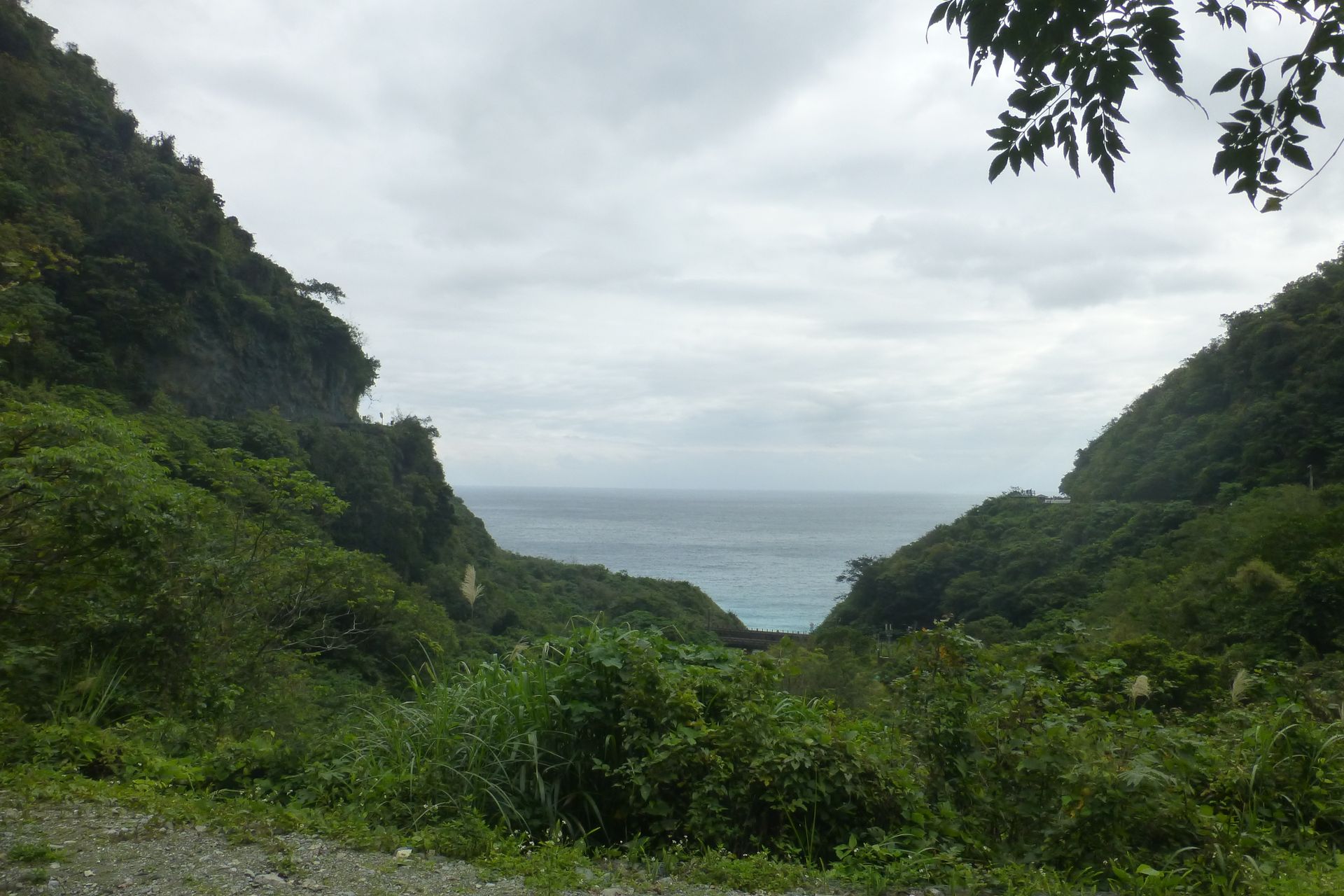
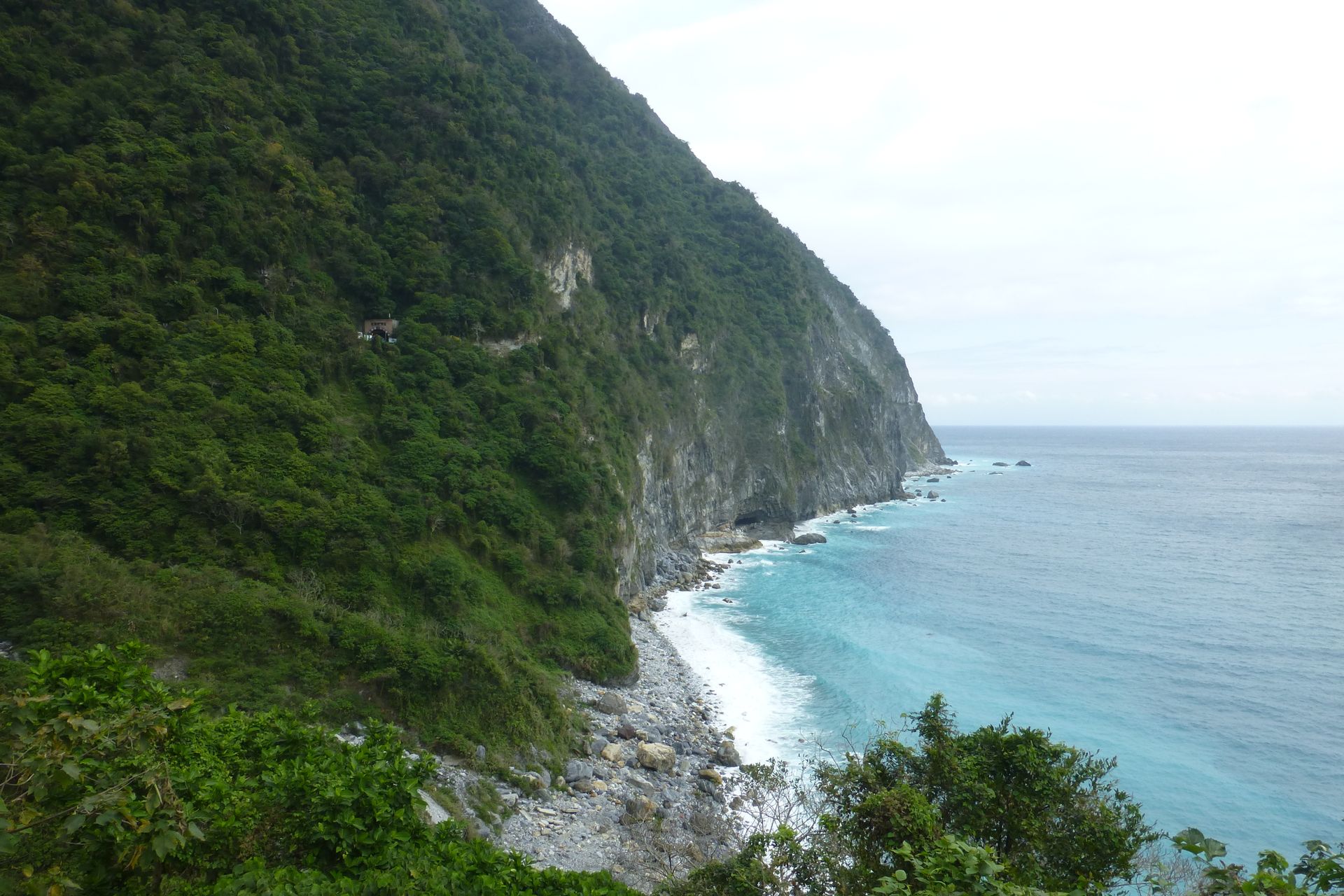
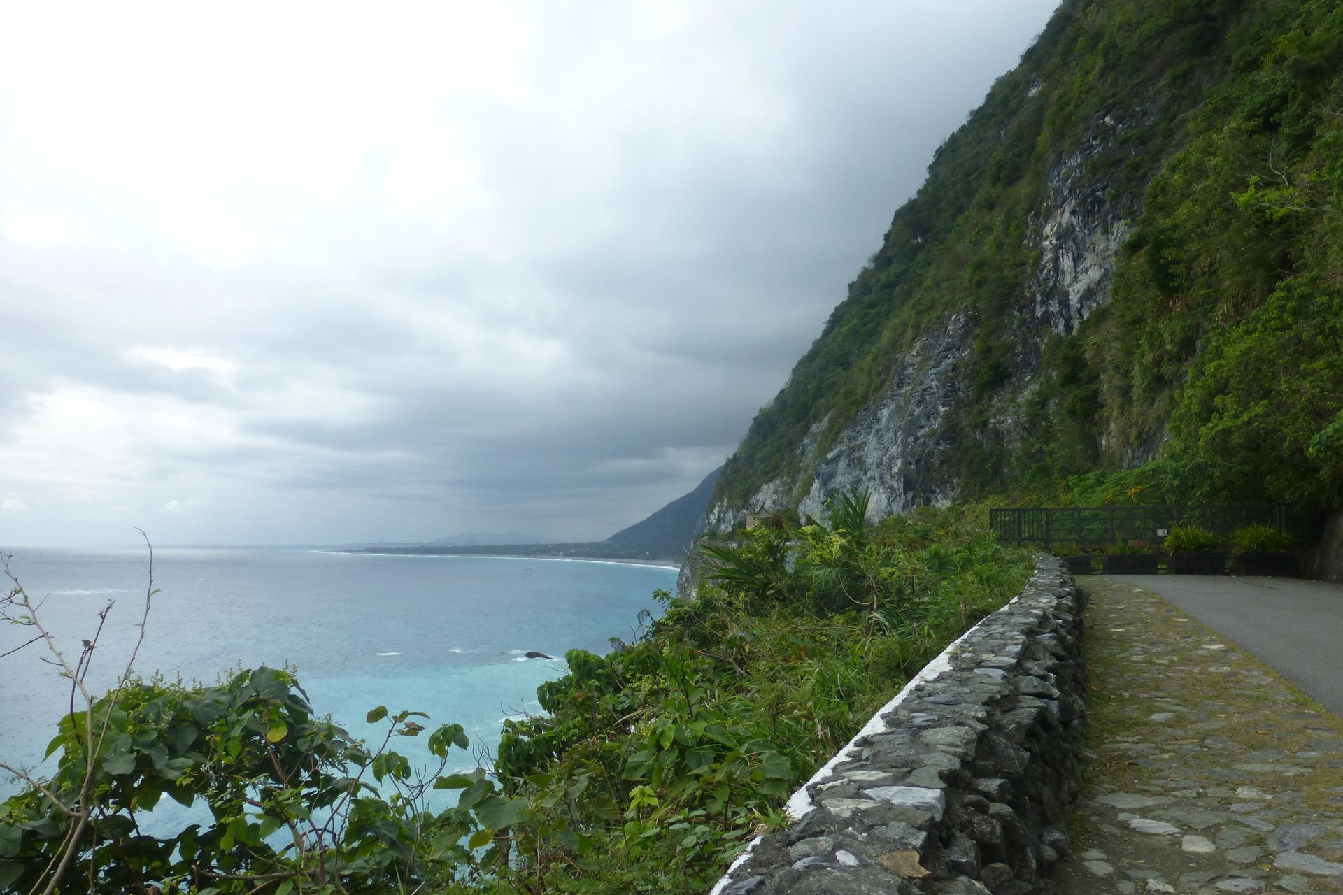


As mentioned before, we took advantage of Matthias having a car and set off early at 8 o'clock for one of the highlights in Taiwan: the Taroko National Park or the Taroko Gorge. It is about 80km as the crow flies, but because of the mountains in between, it is 230km to the north and then back south along the coast, which took about 4 hours. The drive along the steep coast alone was already a highlight. Nowadays, there are quite a few tunnels, but still parts of the road are somehow carved into the rock. On the right, it goes up to about 2000m and on the left, the mountain drops steeply towards the Pacific Ocean.
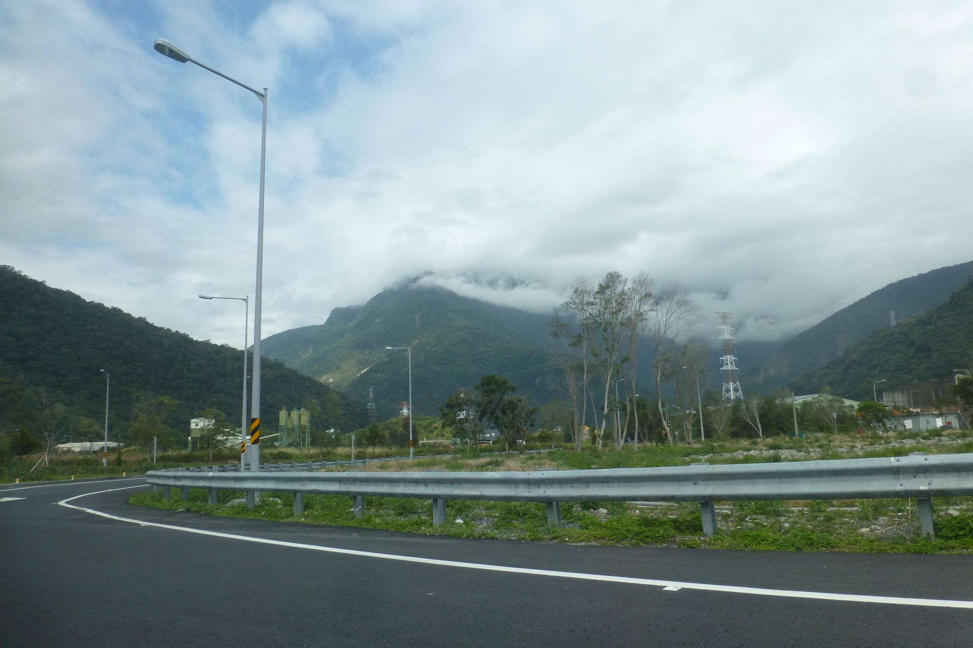
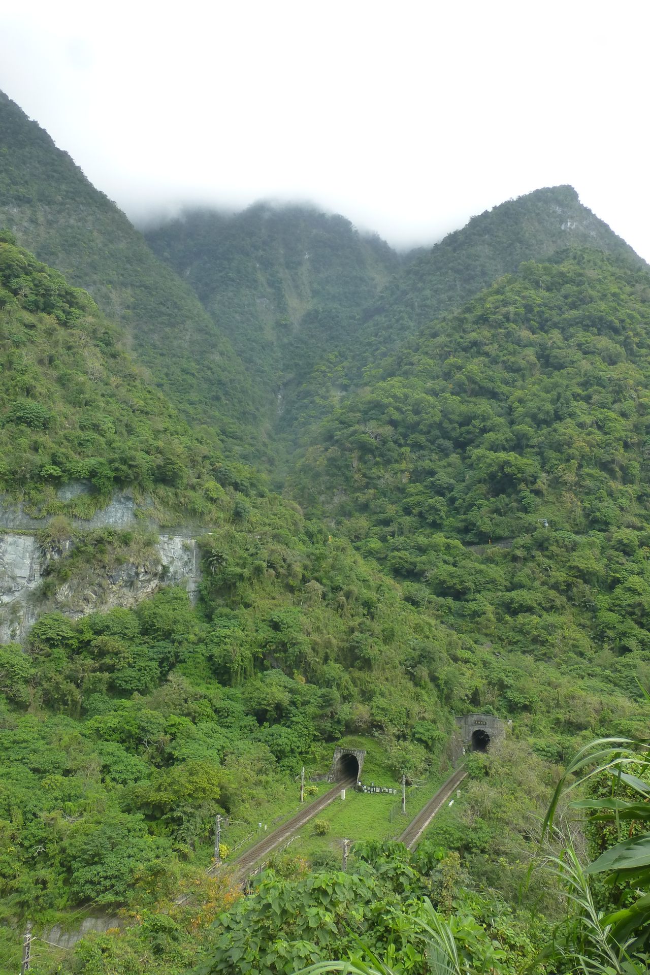
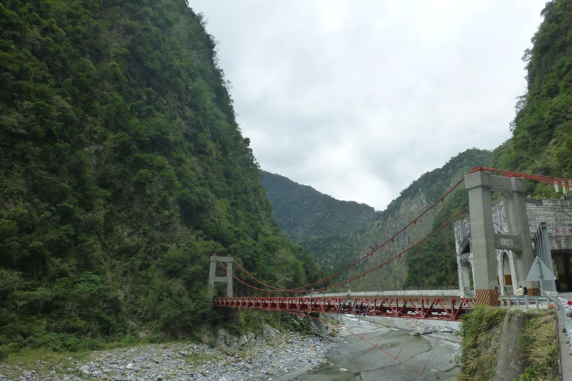
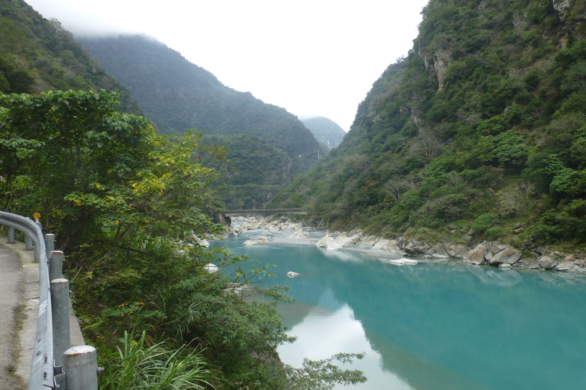
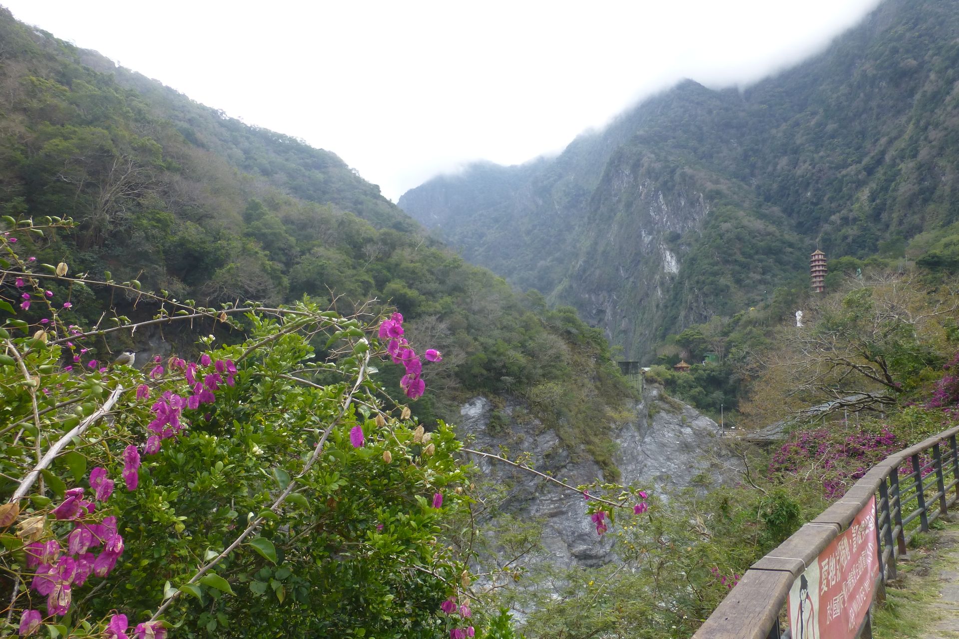
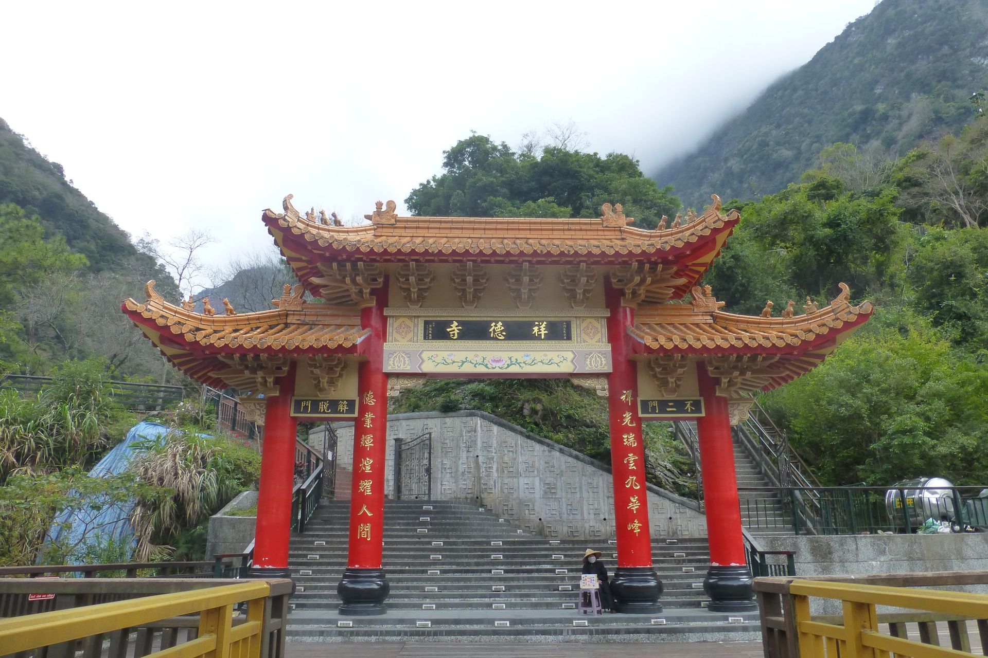
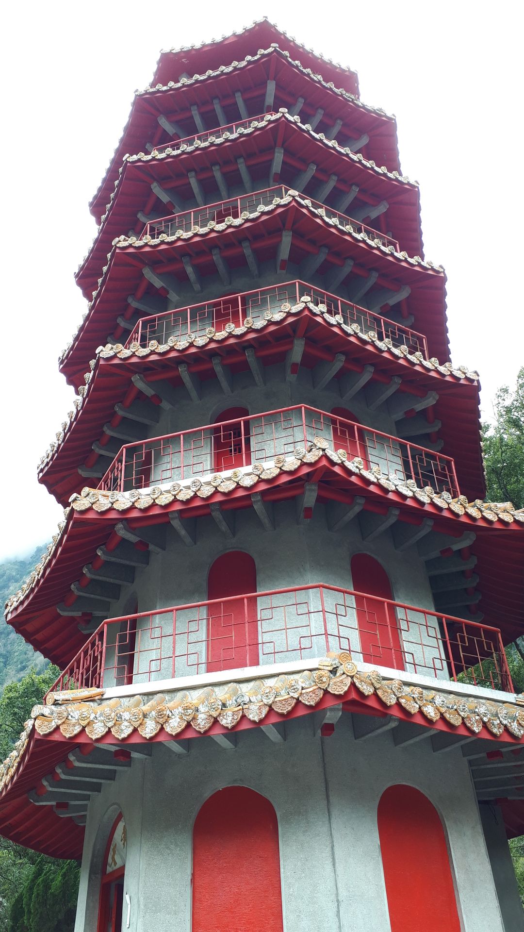
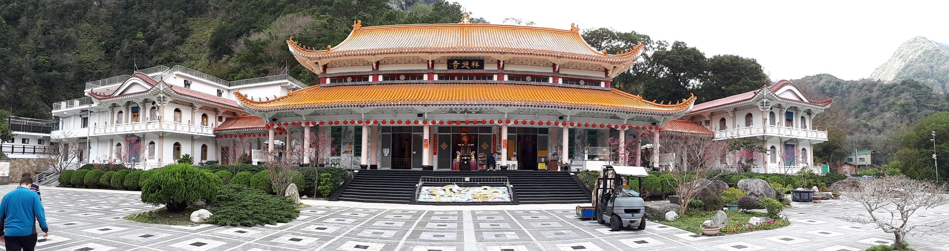
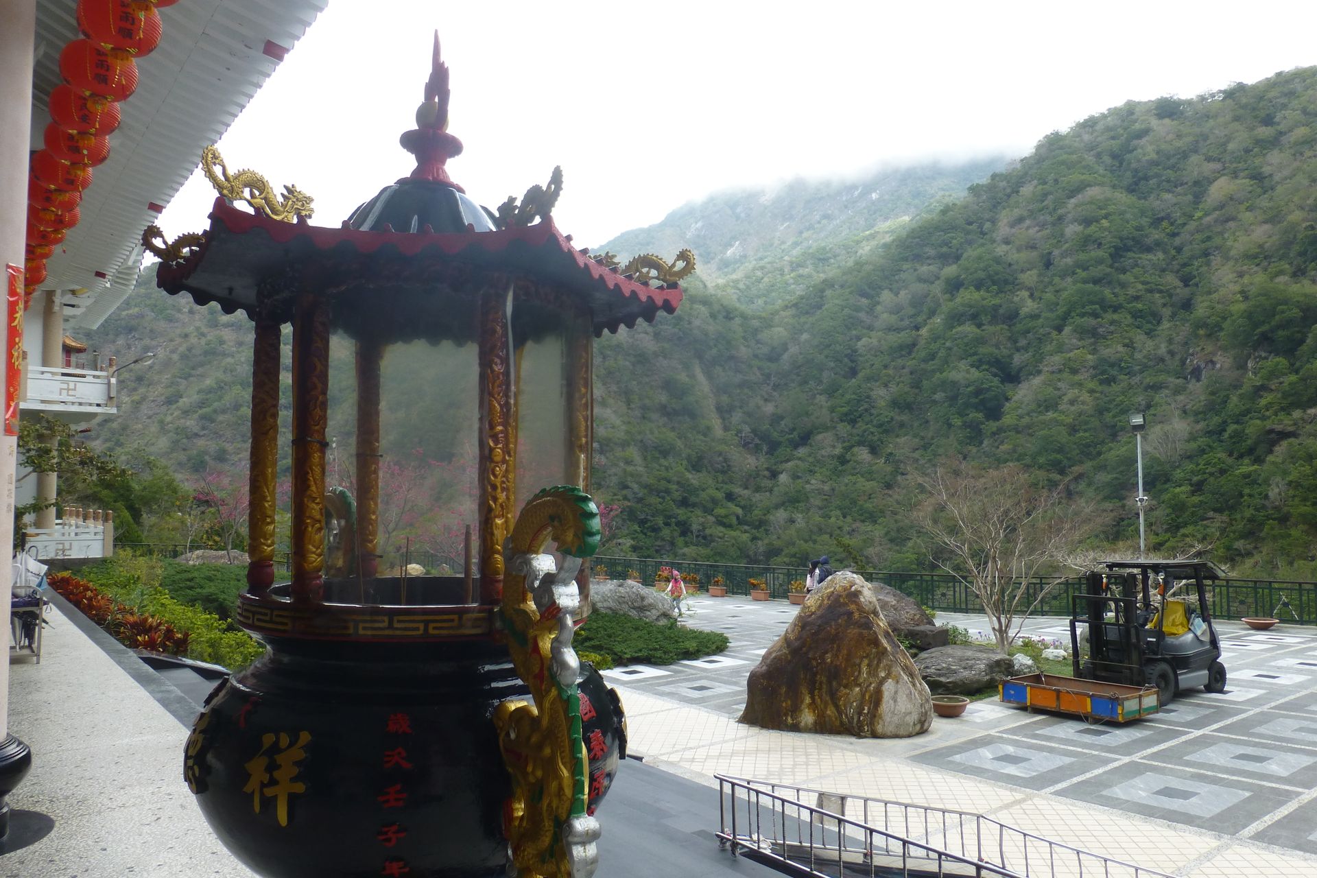
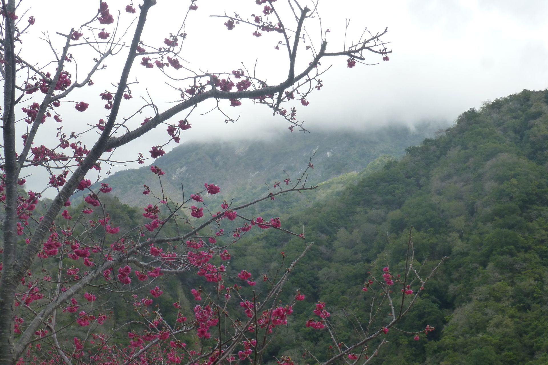
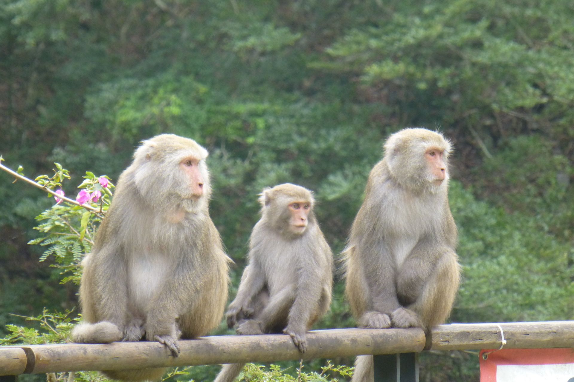
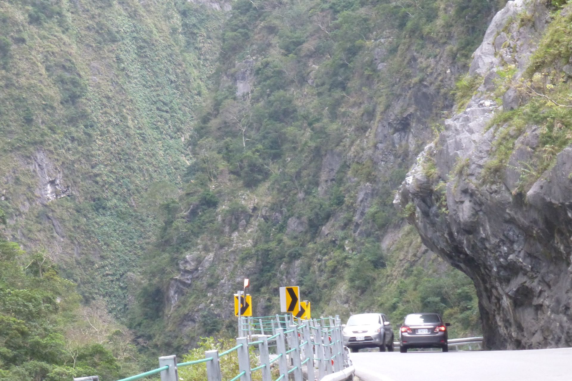
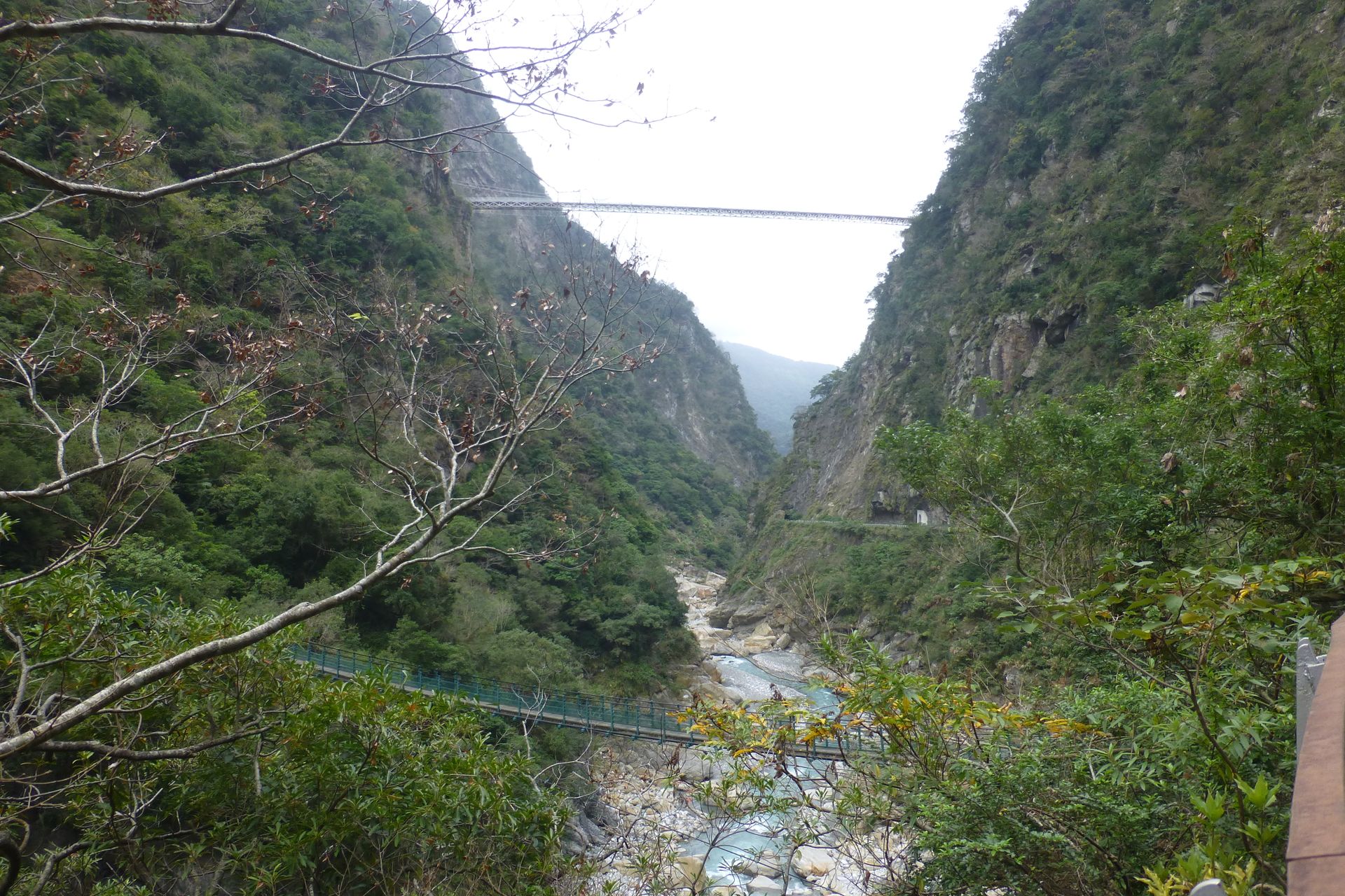
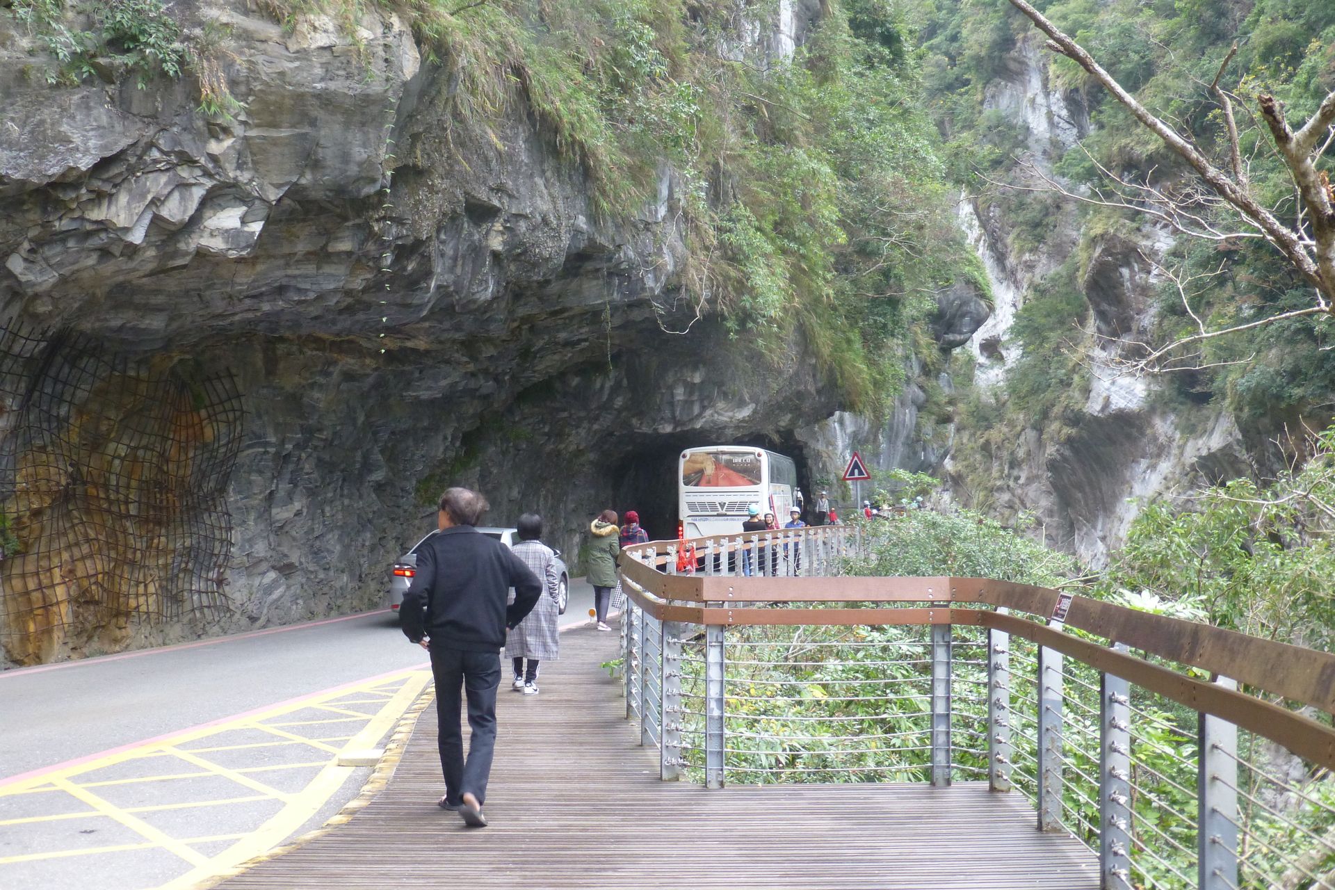
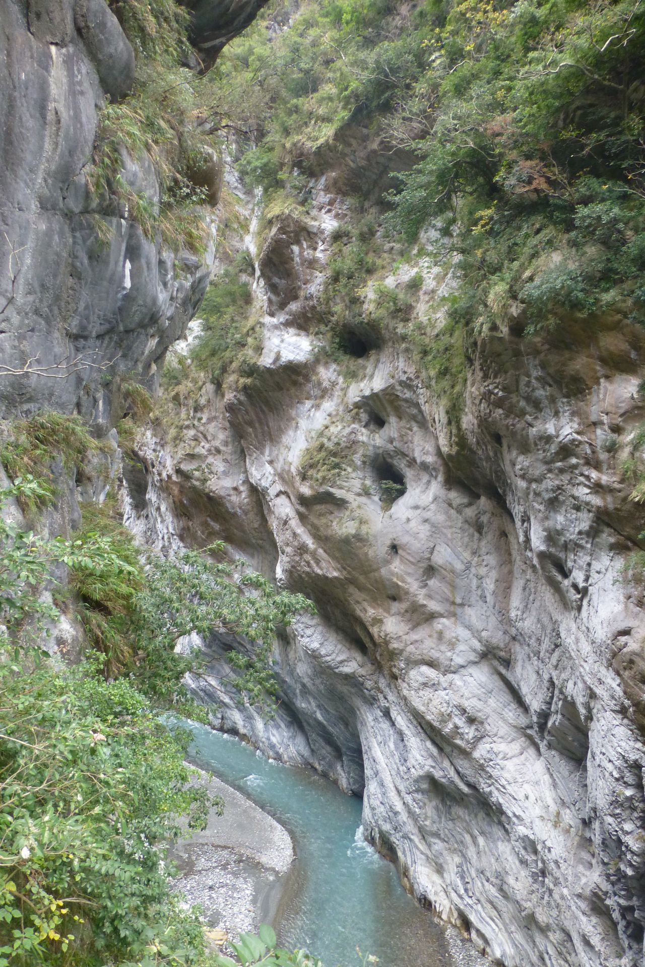
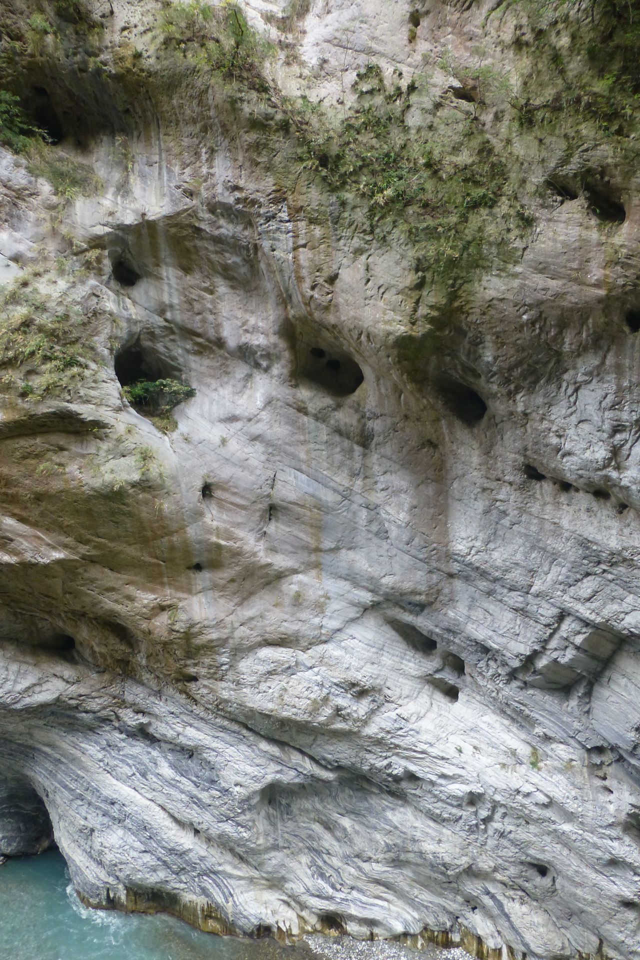
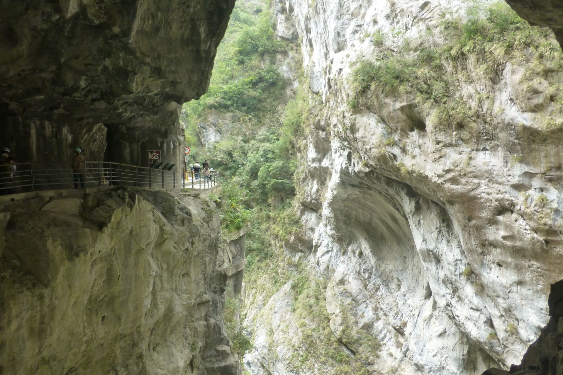
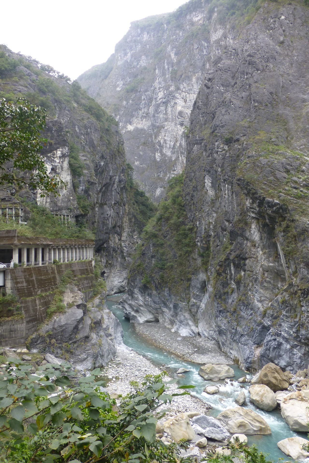
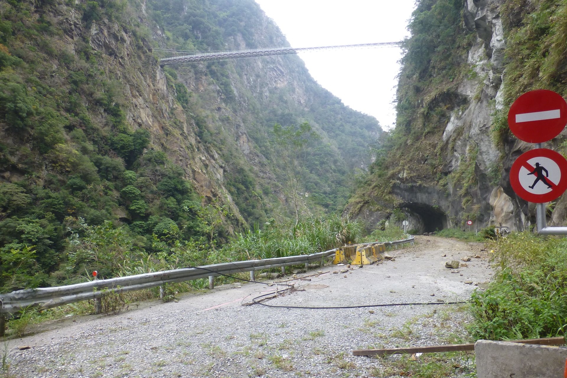
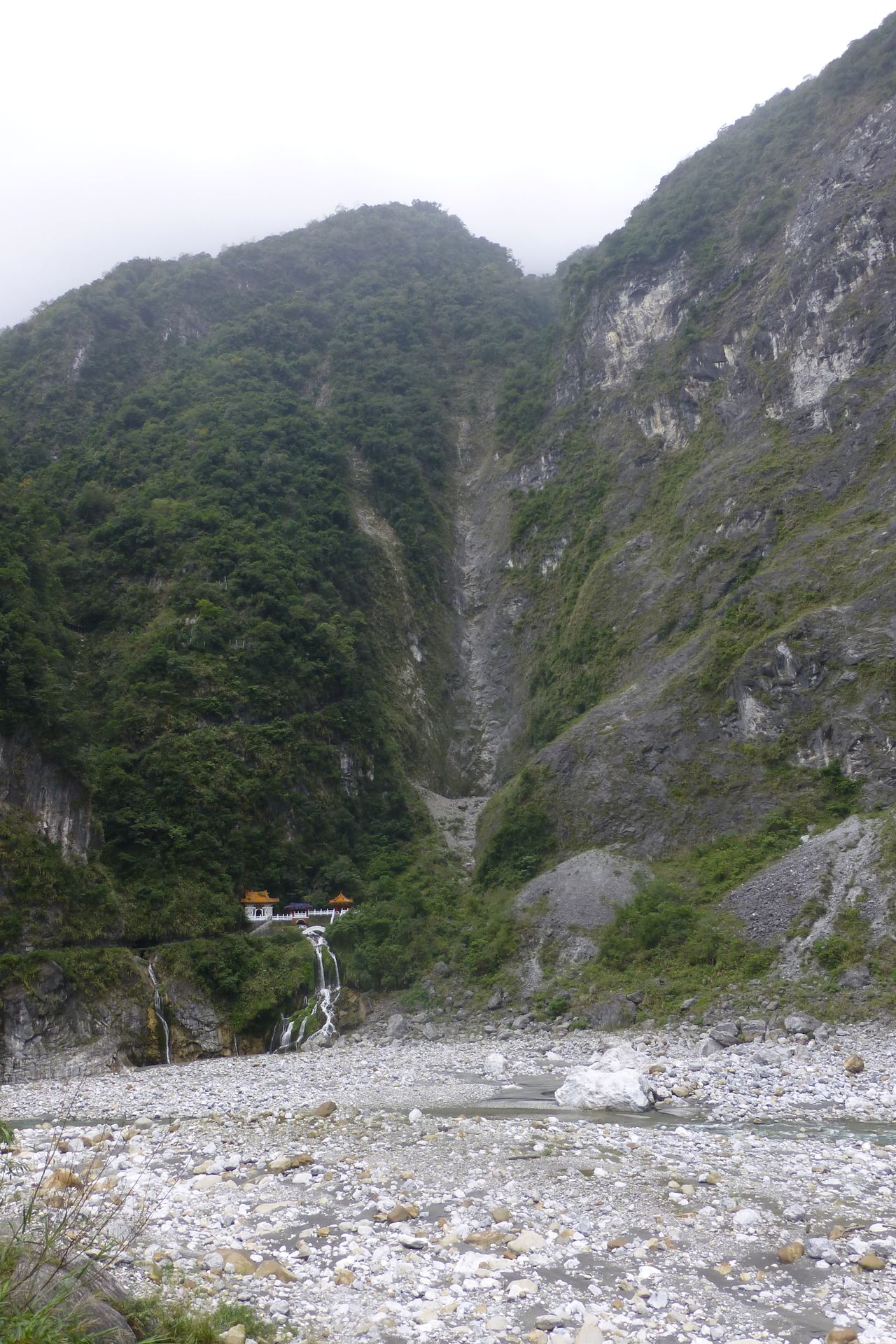
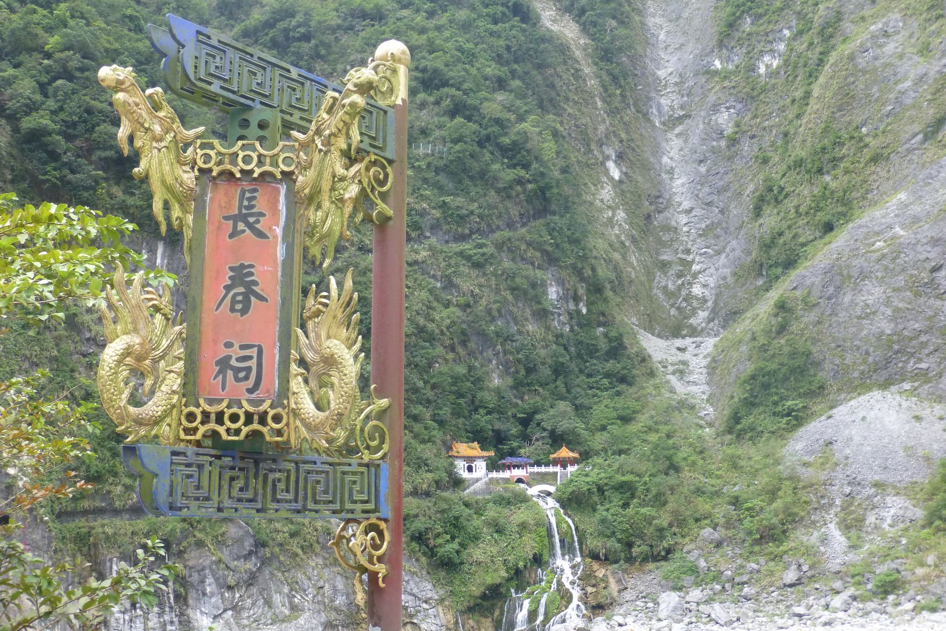
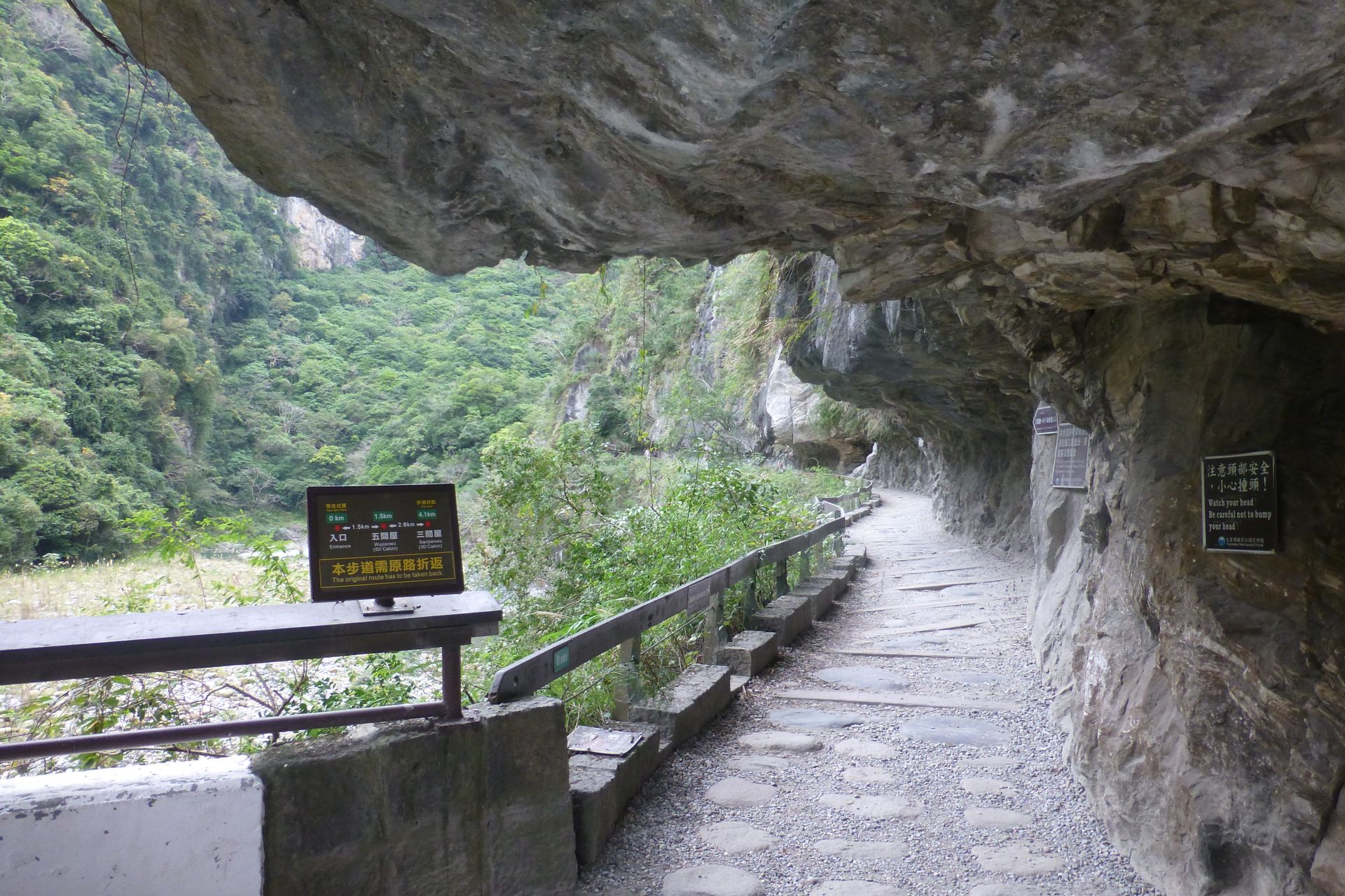
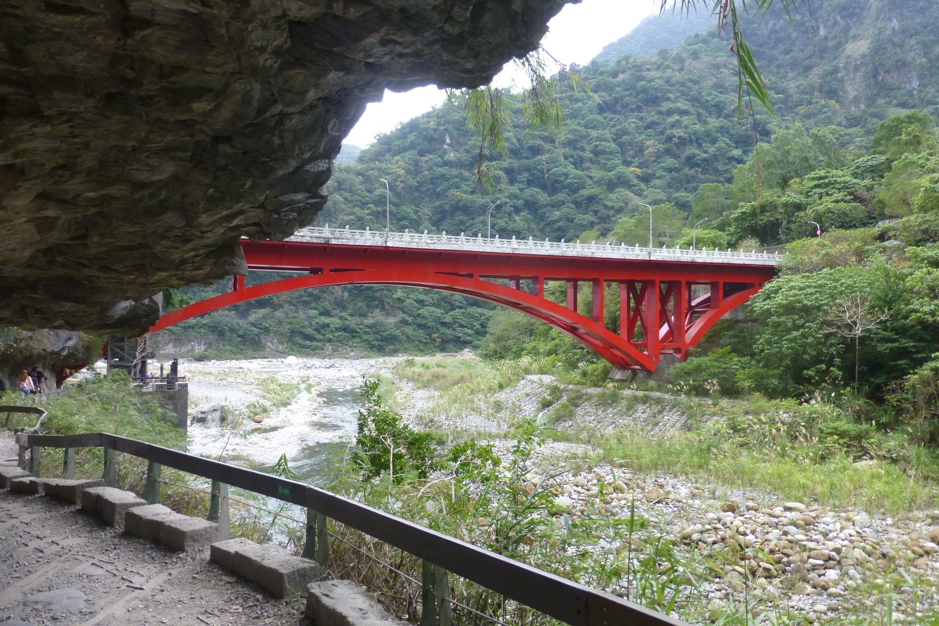
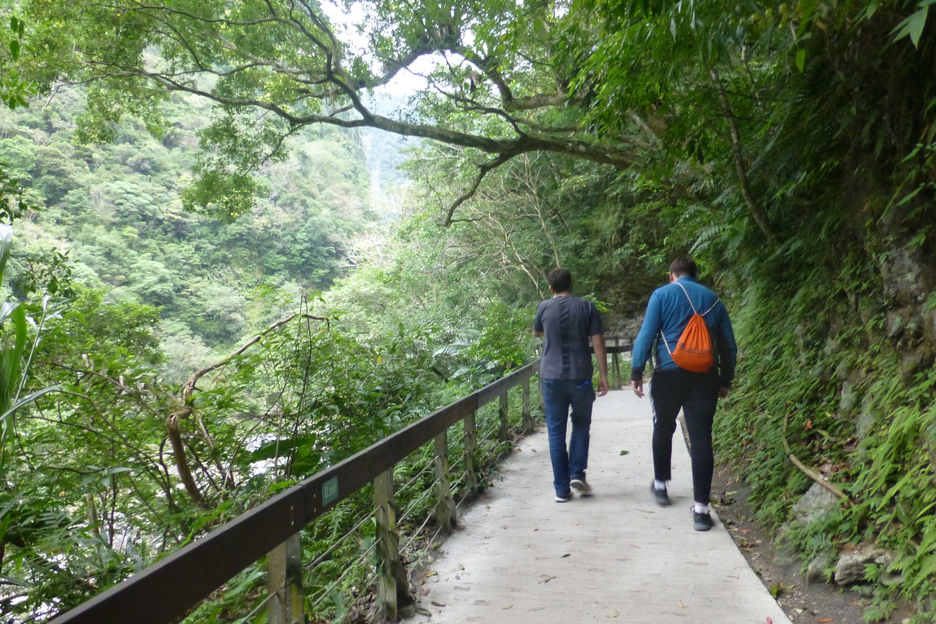
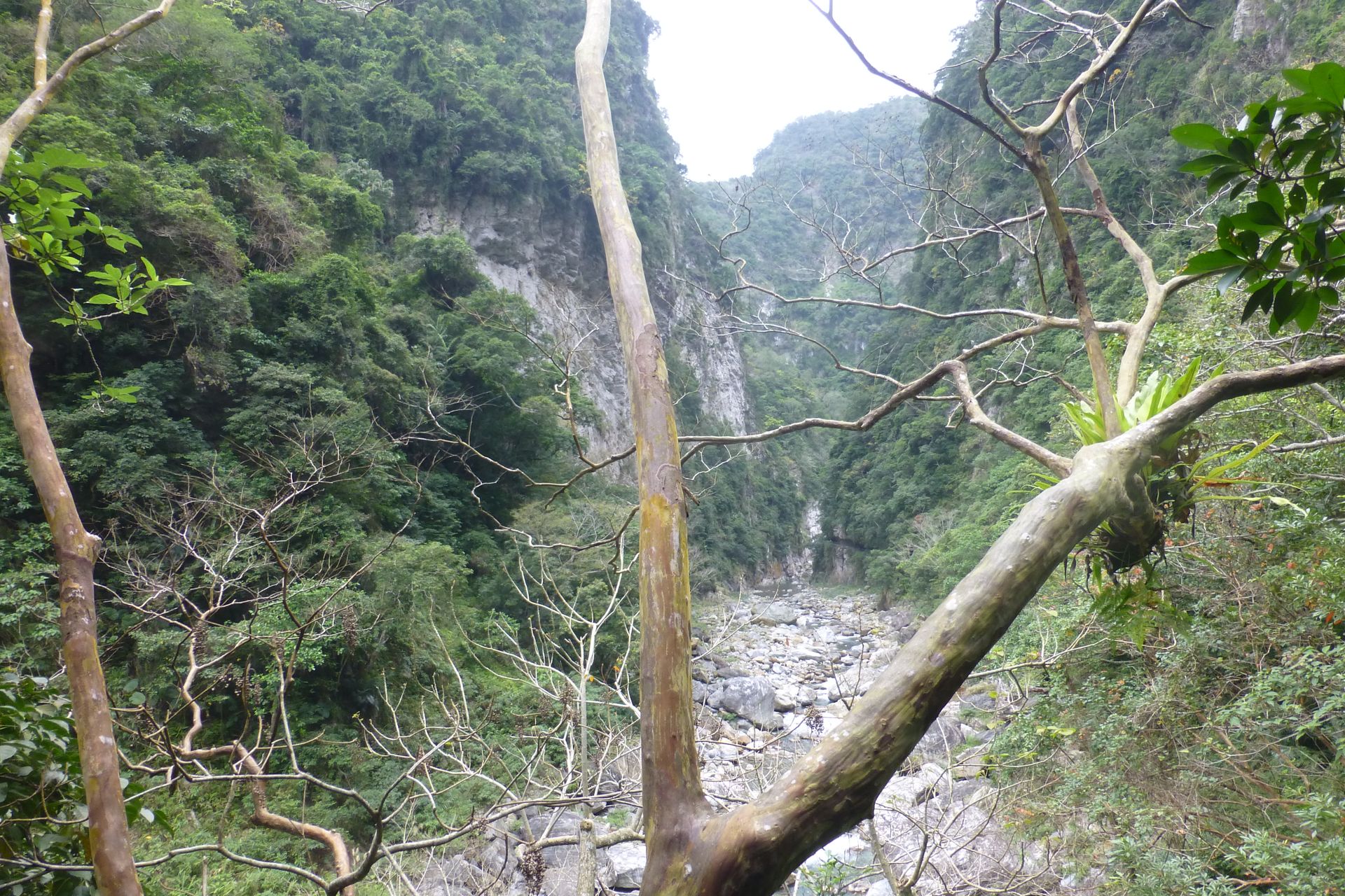
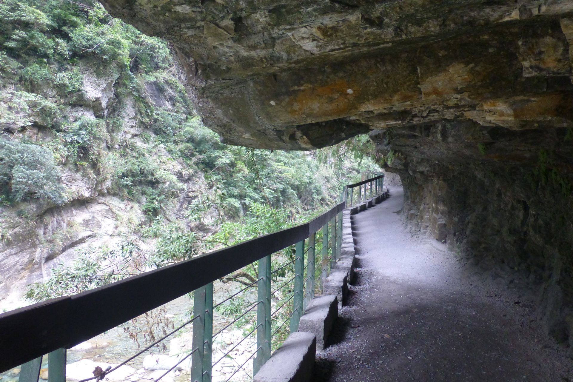
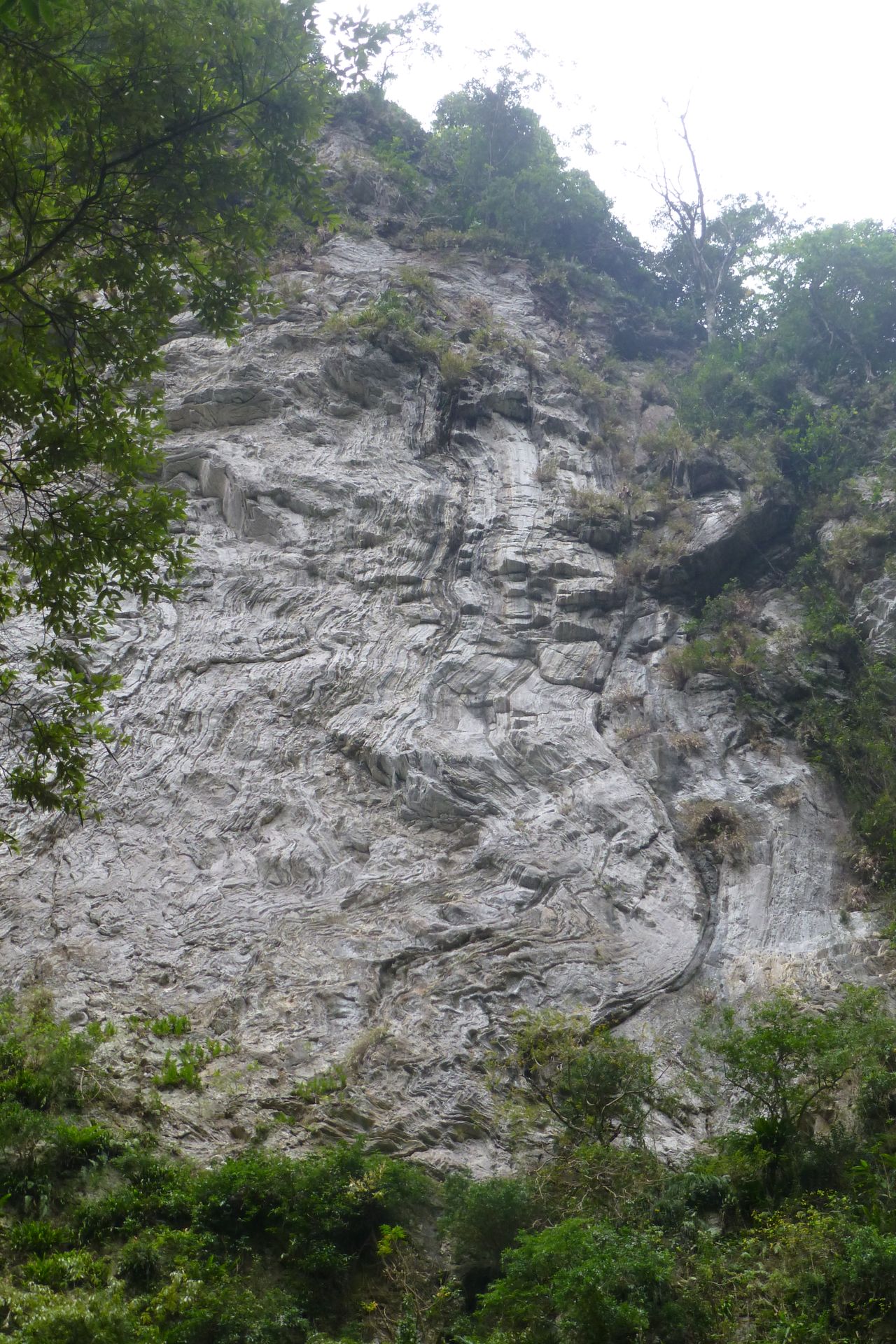
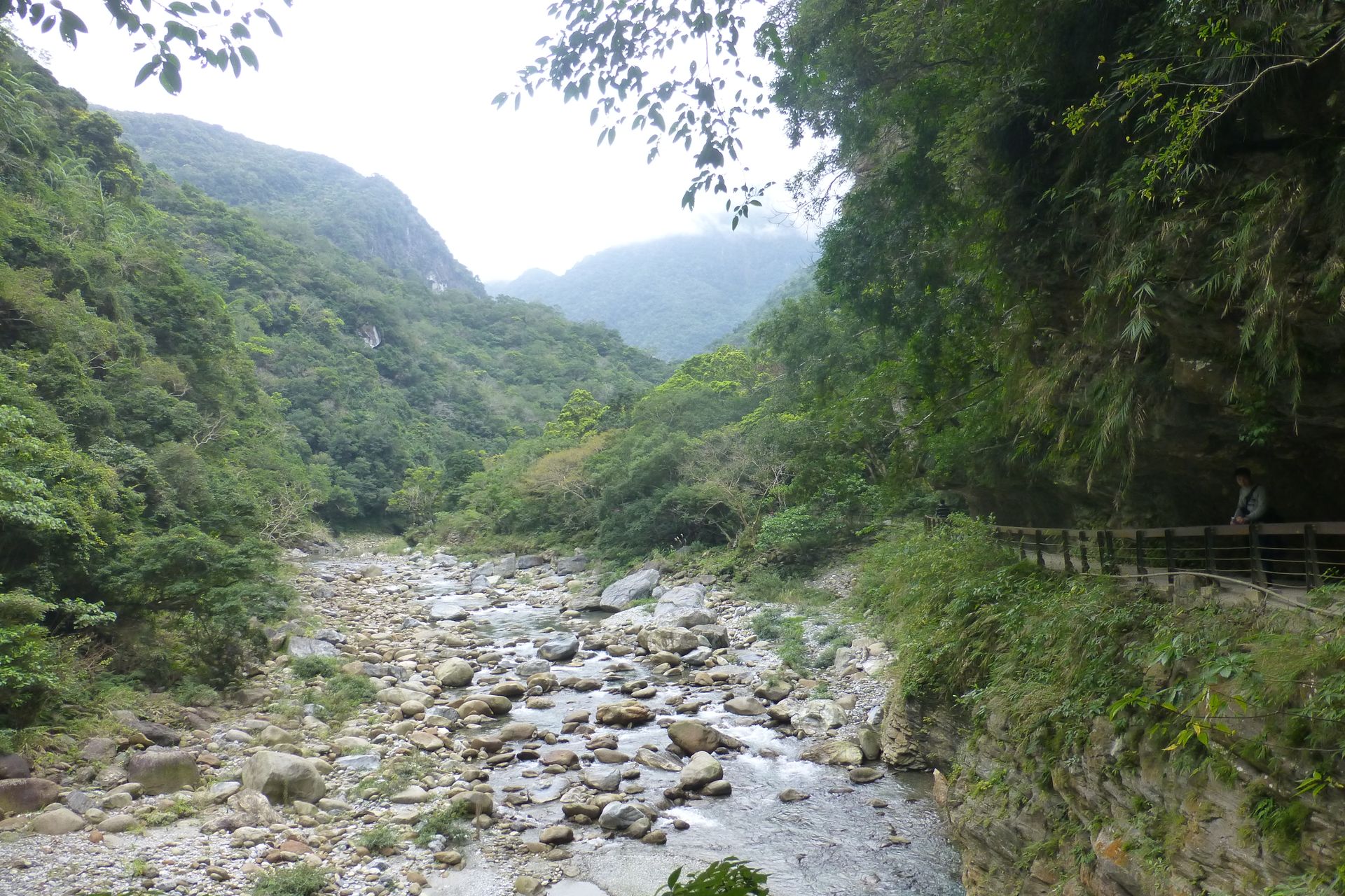
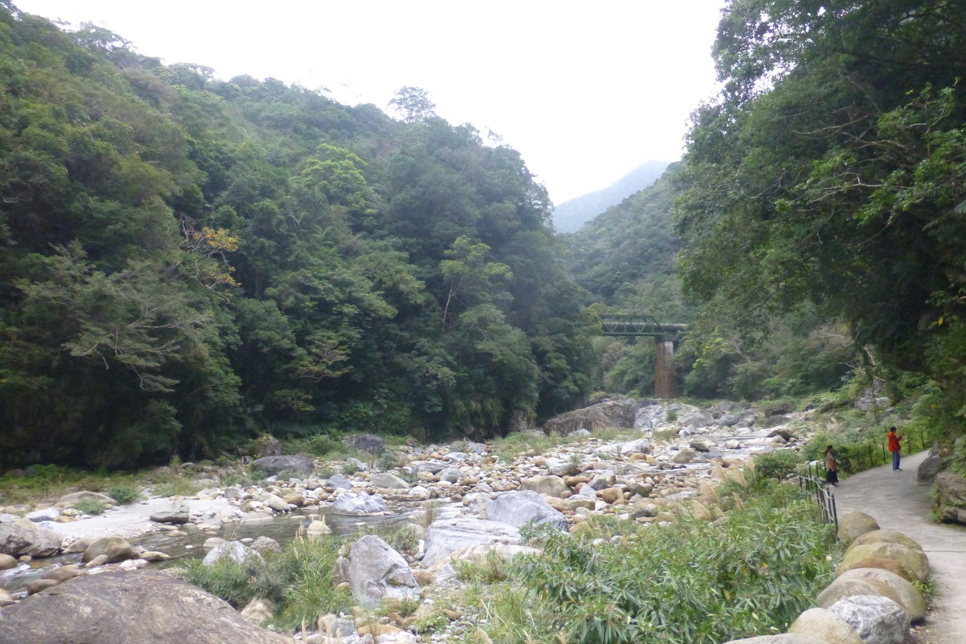
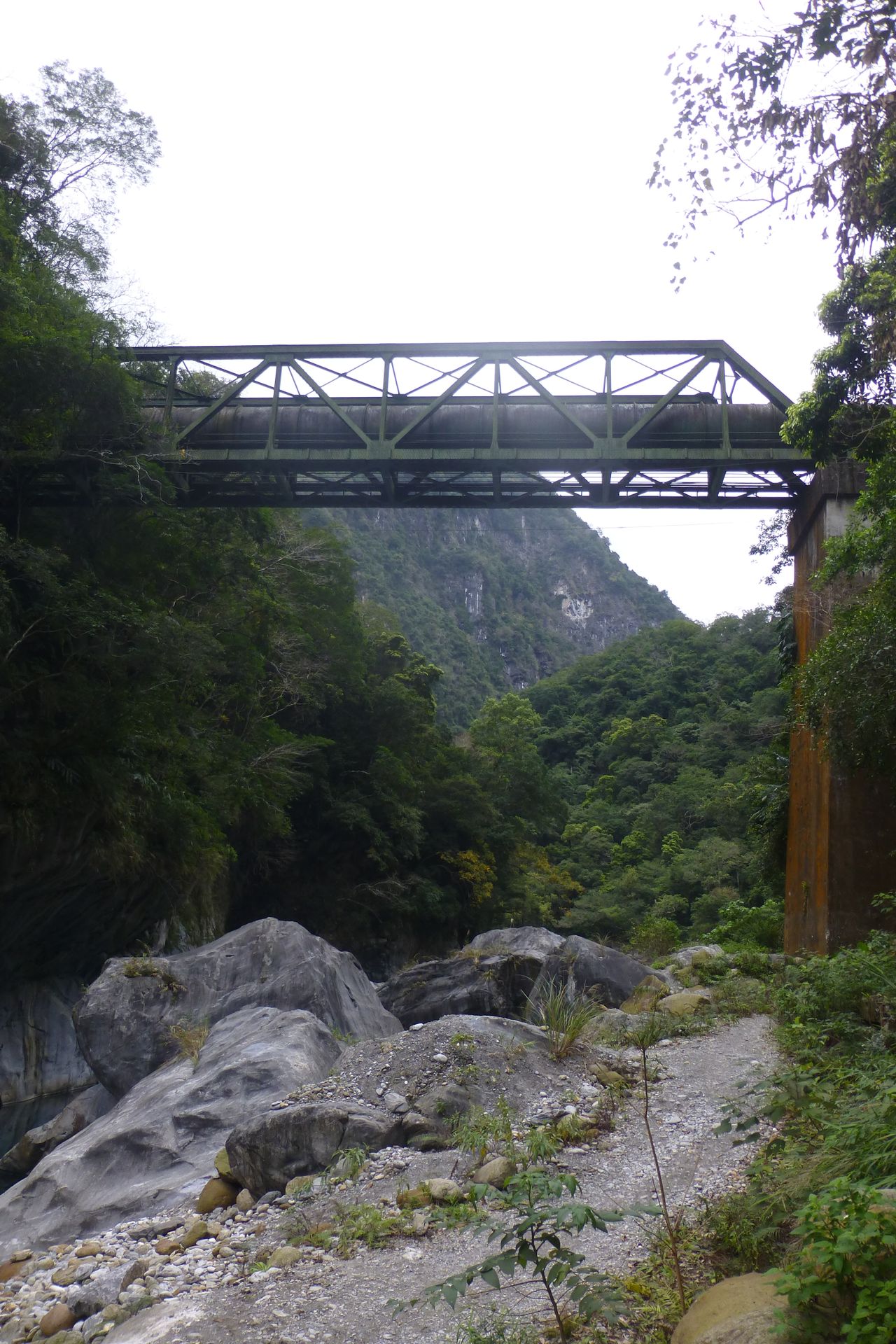
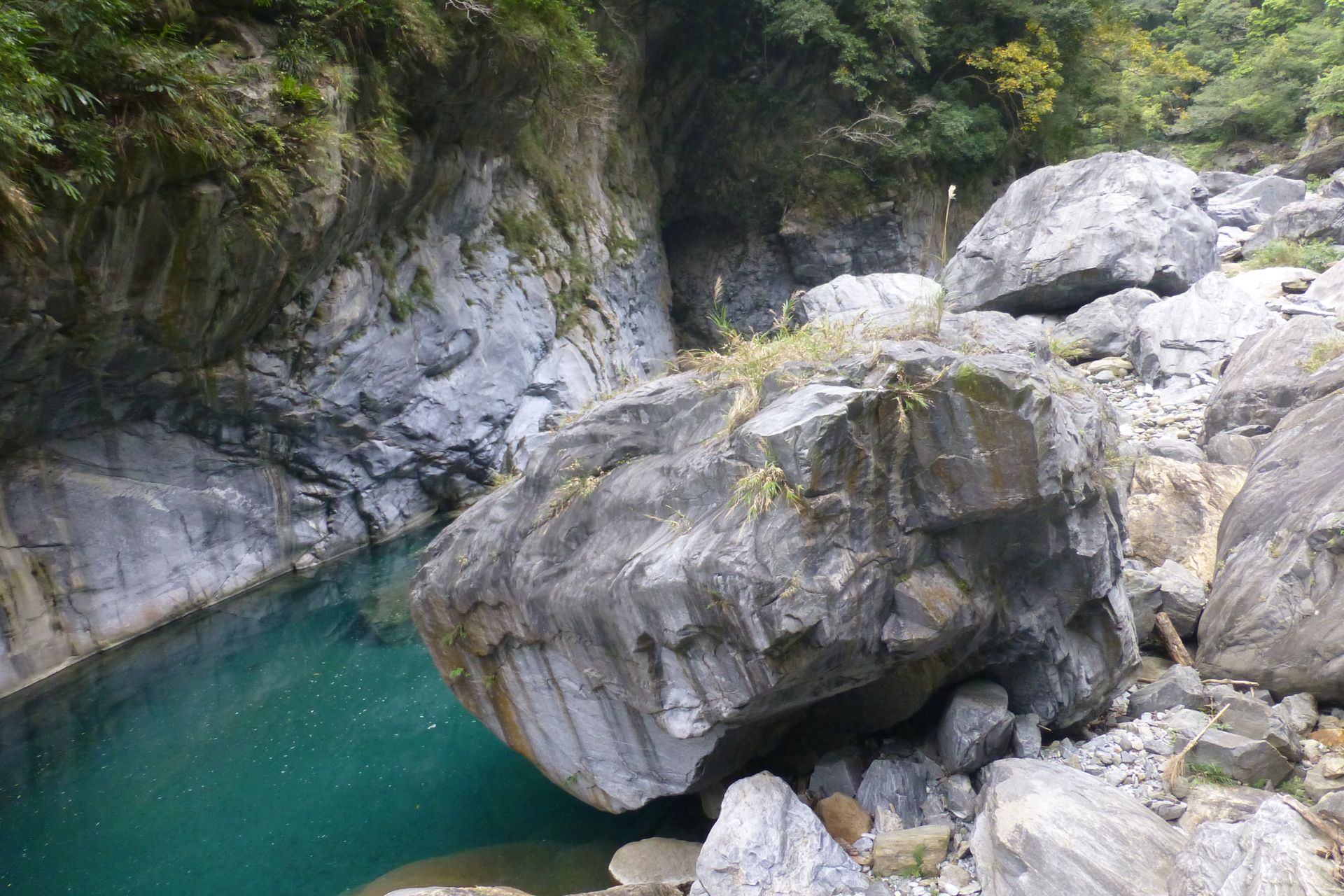
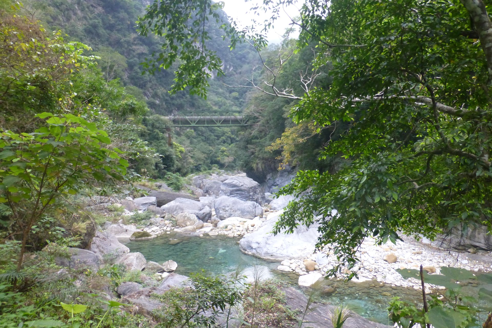
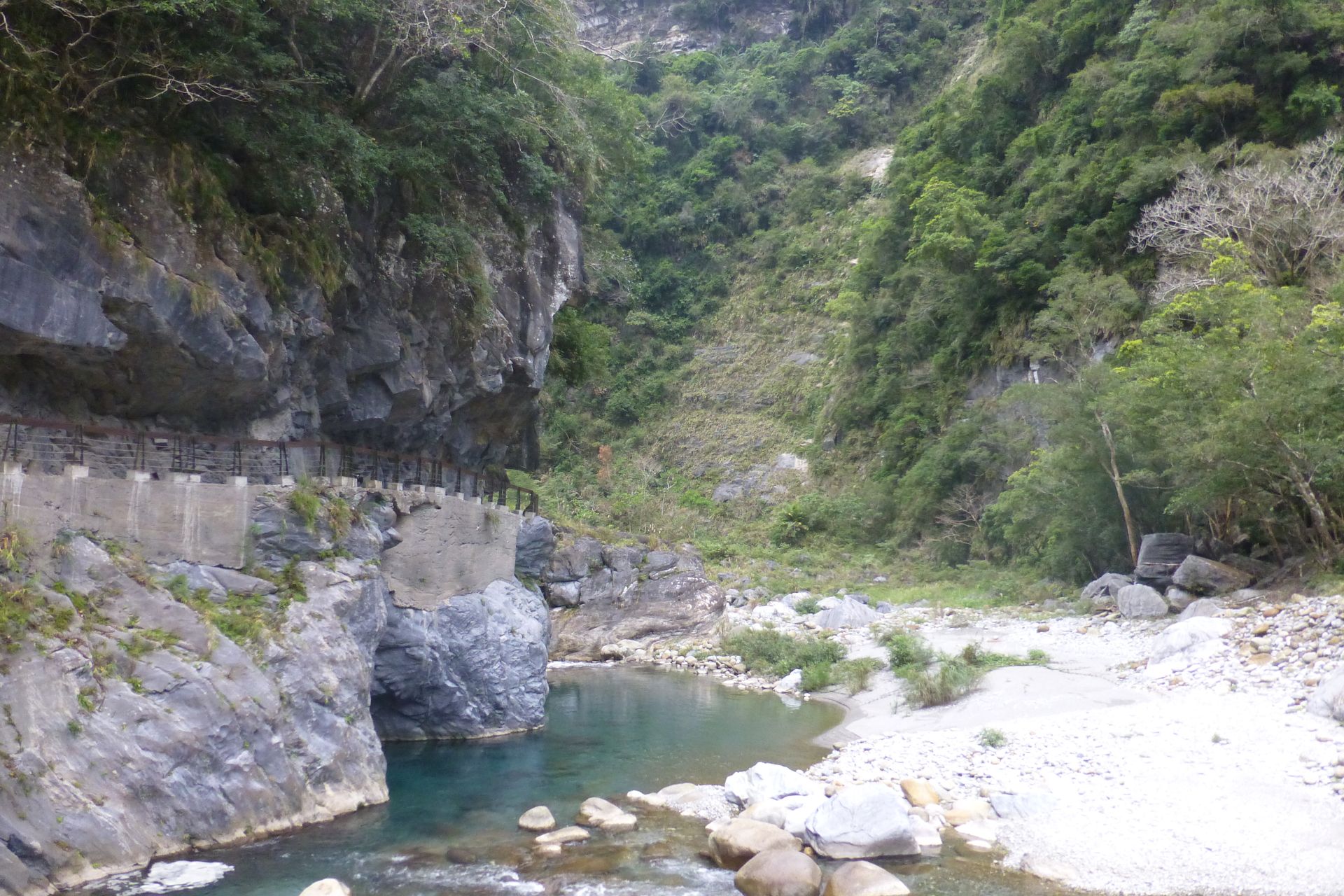
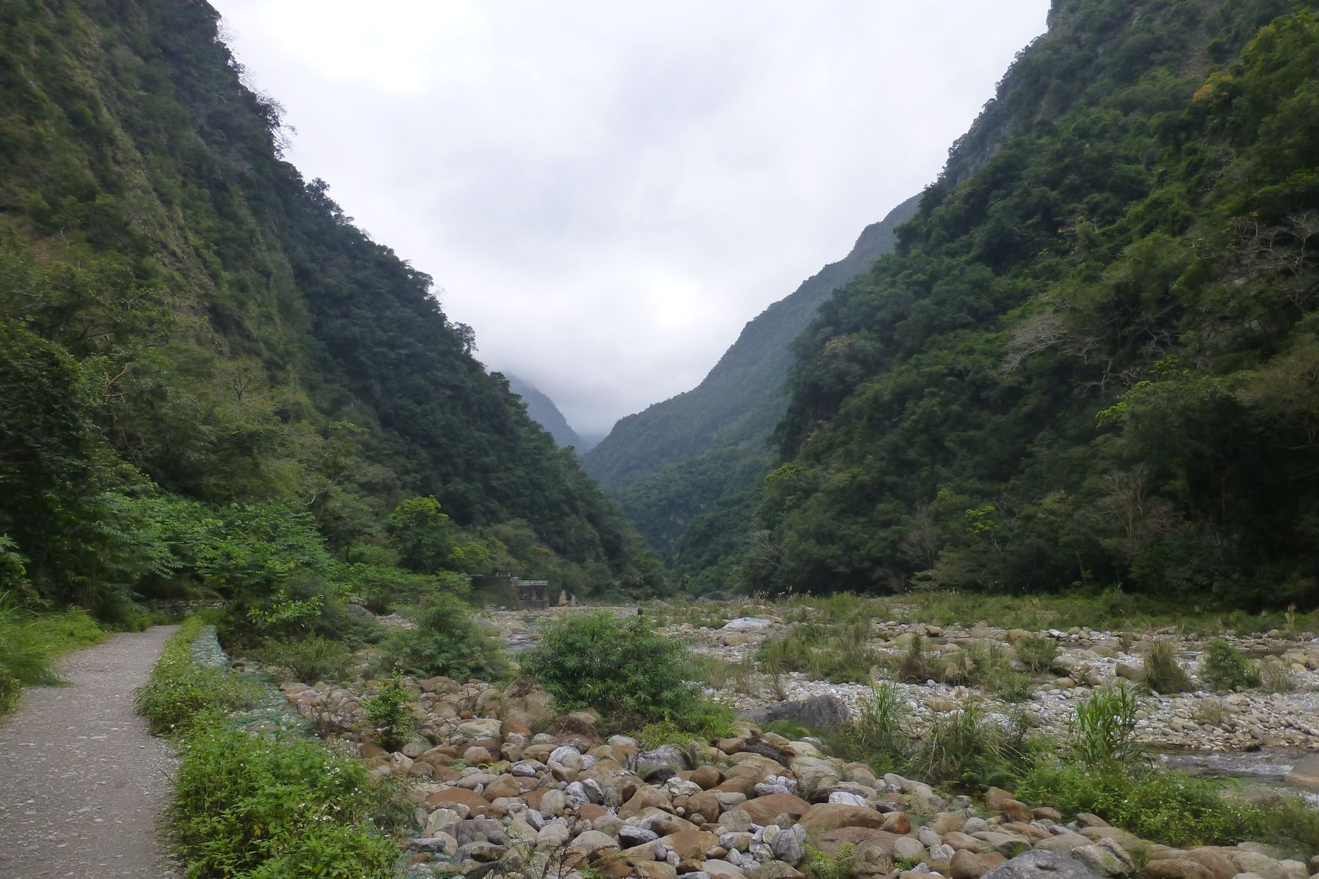
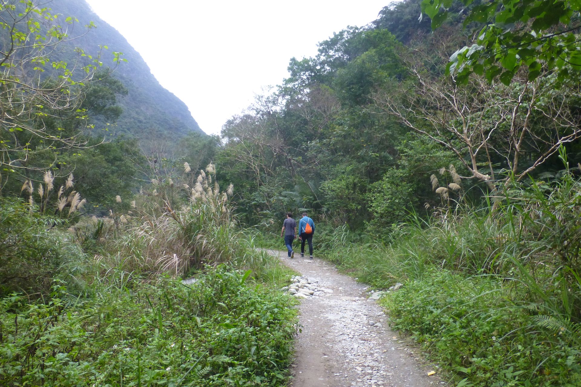
At some point, we turned off into the valley of the Taroko Gorge. This is where the former Central Cross-Island Highway starts. This was one of the first connecting roads between the west and east coast. Nowadays, certain parts are closed off, as earthquakes and typhoons constantly destroy them. However, the beginning is quite accessible and there are various attractions along this road. There are hiking trails, caves, breathtaking views of the gorge and a few temples. The road itself is already very adventurous and similar to the coastal road, it passes through many tunnels and along many edges.Our first destination was quite far at the end of the public road: the so-called Tianxiang Recreation Area and the Xiangde Temple. Here we had something to eat and visited the temple, which was perched high up in the valley and offered a good view in many directions. A few monkeys were also roaming around.Then we continued to the Swallow Grotto. On the original road, you could walk along the gorge here. It was about 70m deep next to you. The name comes from the holes in the cliffs. These have been created over the years by the water flowing down through the rock and are scattered in large numbers all over the cliff. The different layers of rock and the erosion caused by the water looked very impressive, and the latter shows the force with which the water rushes along here. You can also see many large stones and parts of the road pavement in the riverbed that have come off over the years.Our penultimate destination was one of Taiwan's most famous photo spots, the Changchun Shrine 長春祠. It can no longer be accessed by the public and can only be viewed from the parking lot. The shrine had to be rebuilt twice already, as it fell victim to landslides.Then we decided to go for a hike and went to the Shakadang Trail. It was about 4km long and meandered into another valley. You are in the territory of Taiwan's indigenous people there, and further back in the valley, there is also a small village. The path was very beautiful and always followed along the water. At the beginning, you walk a lot on paths carved into the rock, but in the end, the valley widens and you even get close to the river. The water was light blue and invited you to swim, but that was forbidden and the temperatures were not suitable for it. When we returned to the car, the sun was already setting slowly, and we started our way back home. We finally arrived home tired and full of impressions at half past nine in the evening.回答
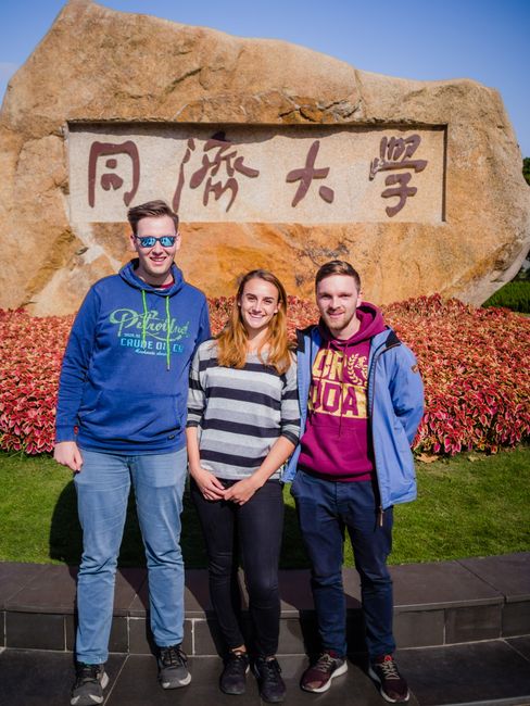
旅遊報告台灣