
第 48-58 天:一次一次通過
已發表: 04.06.2022


訂閱時事通訊
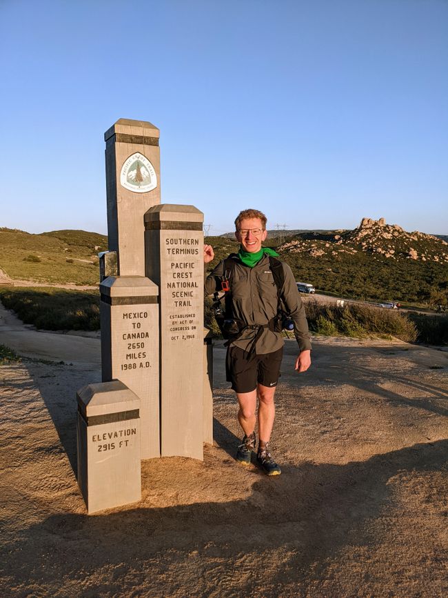
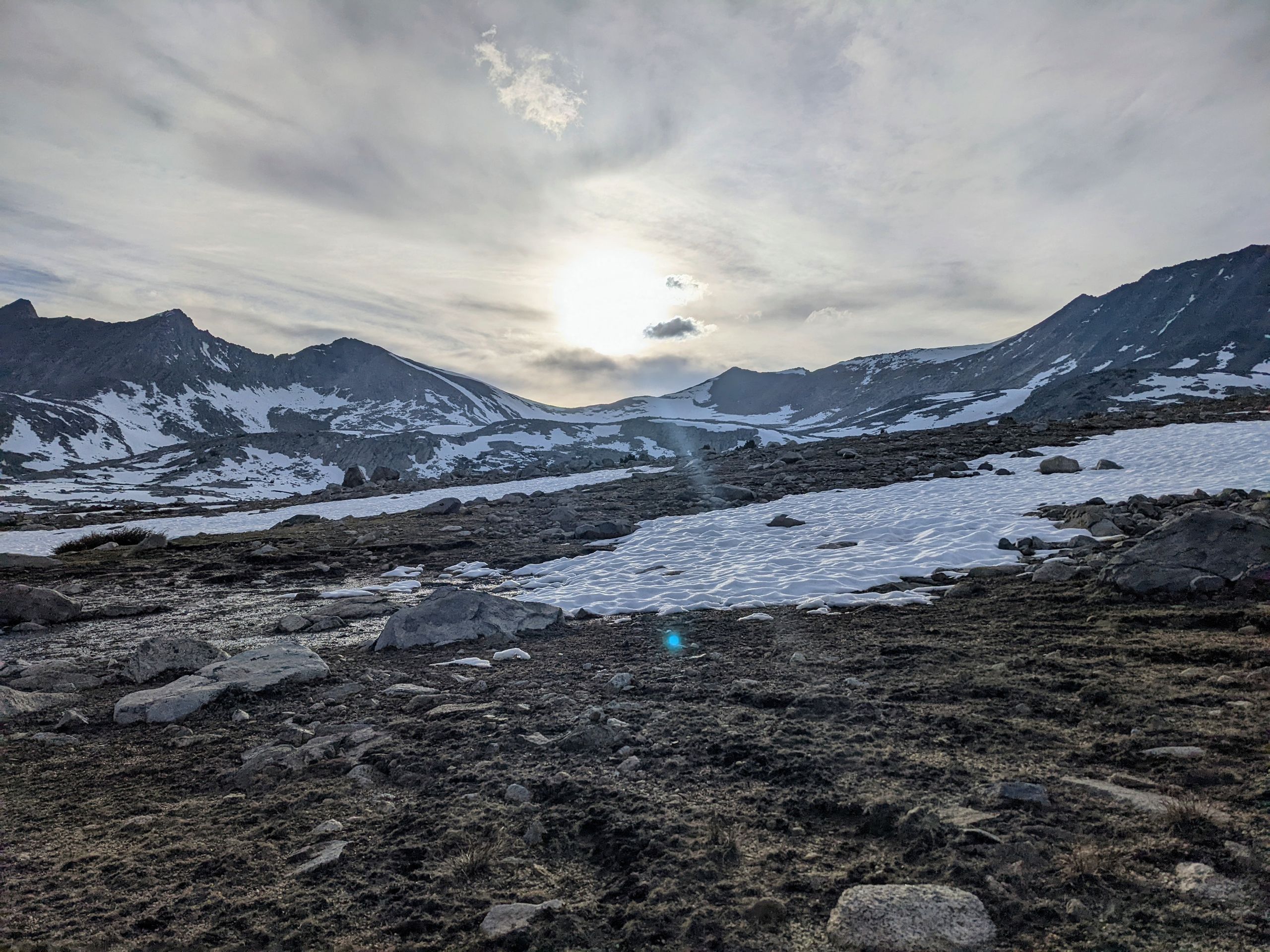
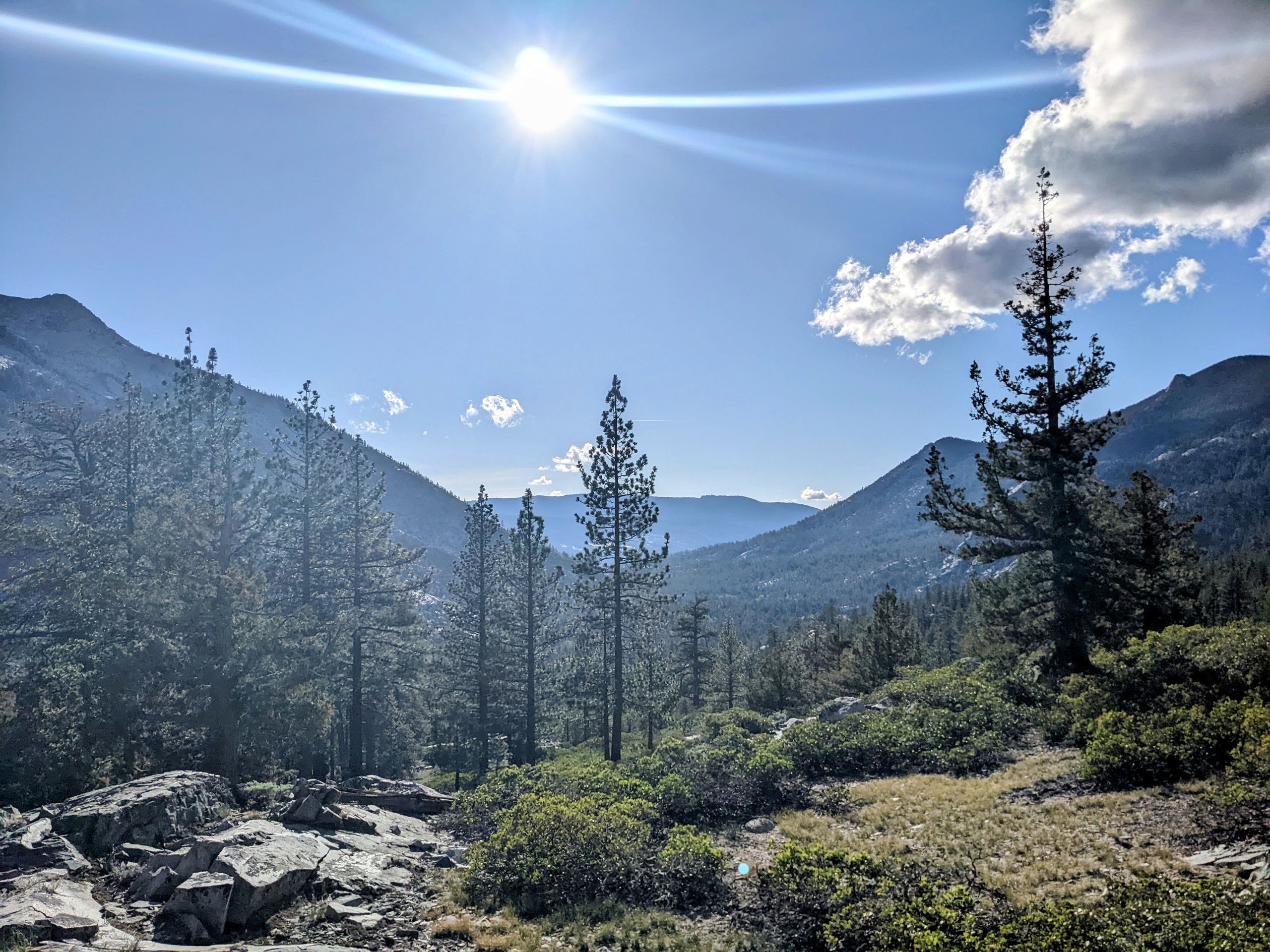
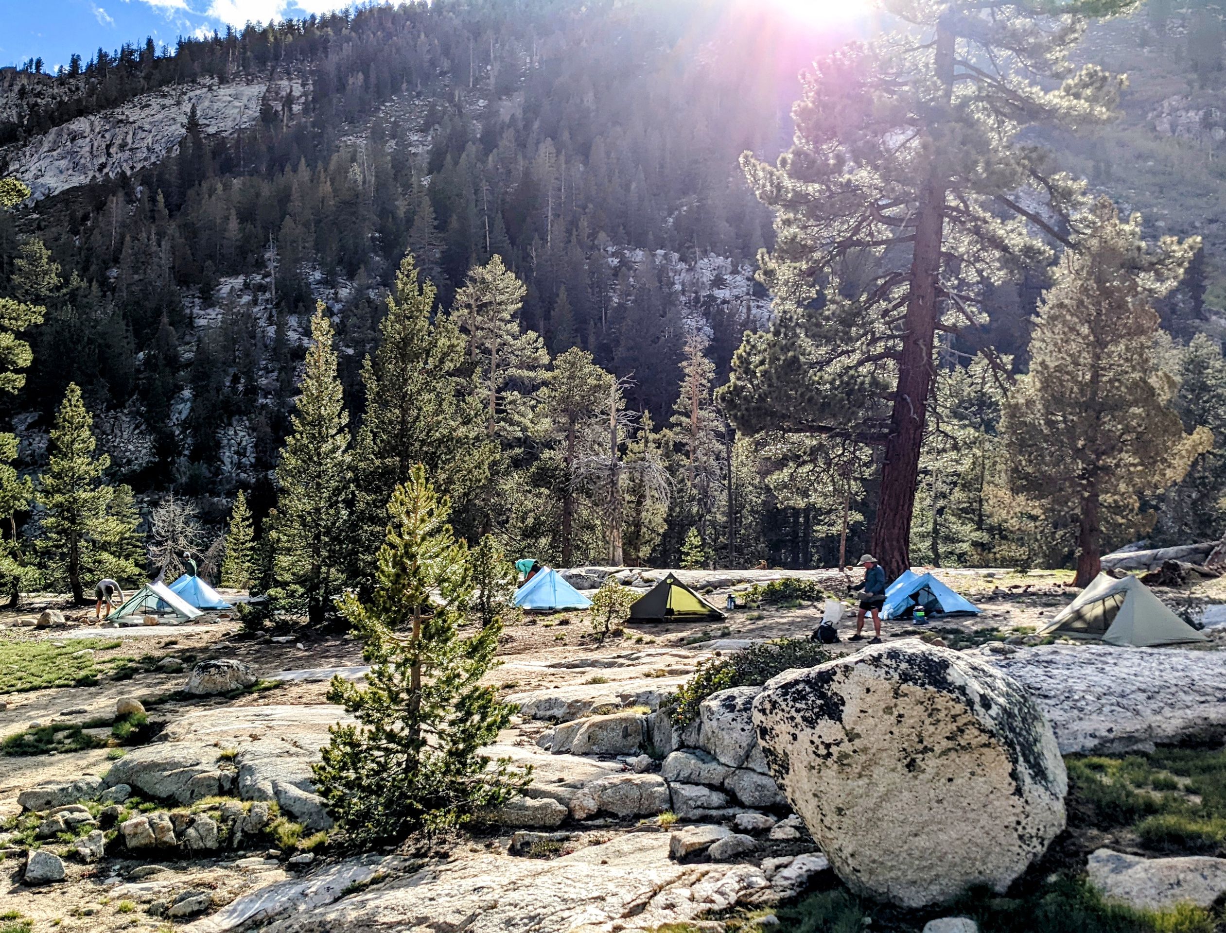
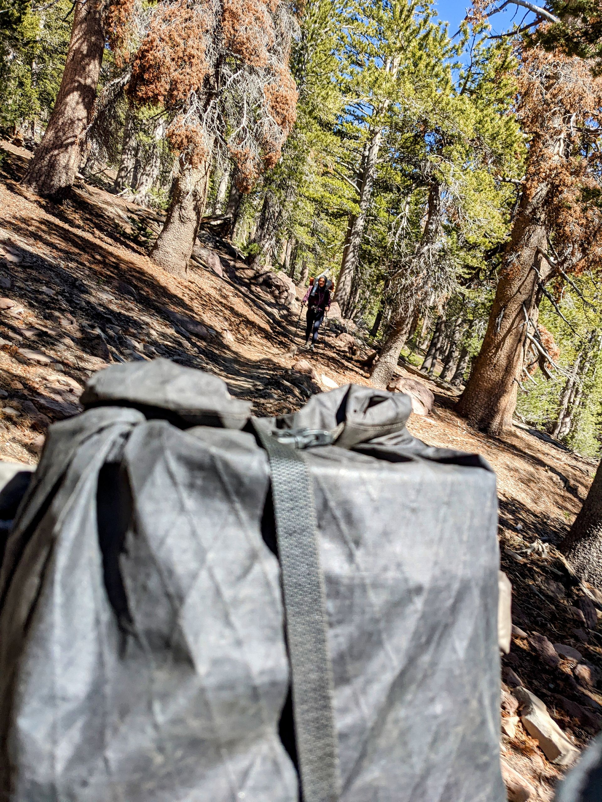
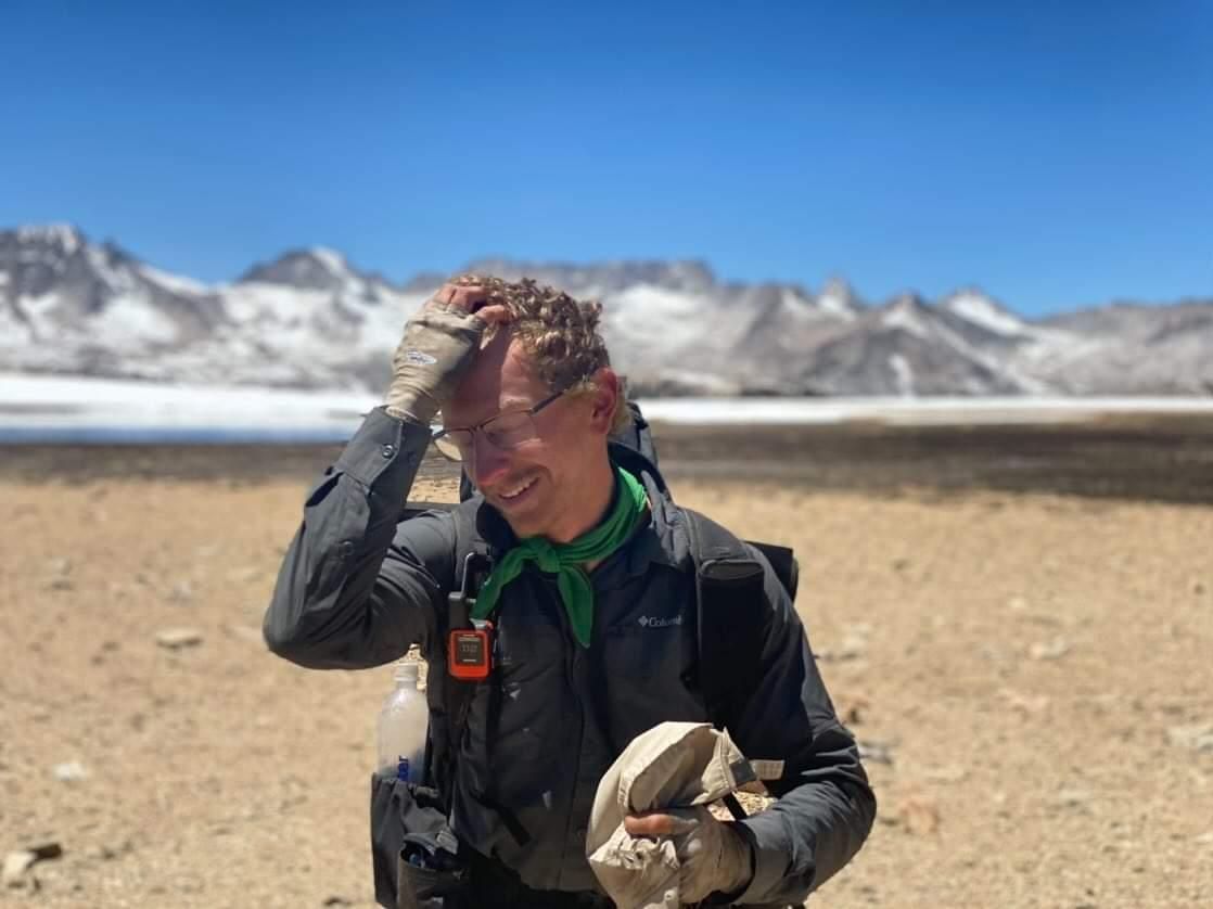
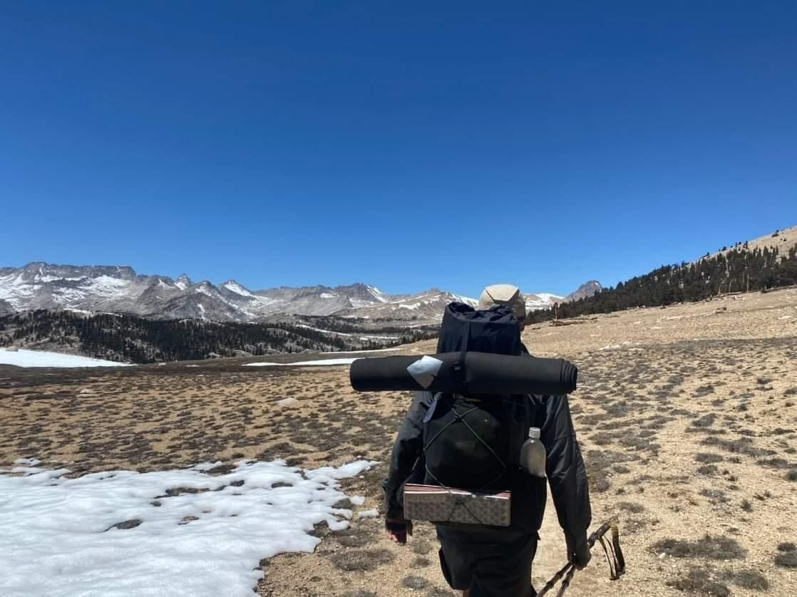
Day 48: Today, we are once again limited by a pass. After completing the 7.5-mile detour over Kearsage Pass and returning to the PCT, we can only hike another 1.5 miles before reaching Glen Pass, which we have to cross in the morning. So, we take our time, sleep in, and have breakfast. I'm still really enjoying American breakfast. Afterward, some of us do some last-minute shopping and pack up. This time, my backpack is a little heavier because we need food for six and a half to seven days. Not everything fits in the bear canister, so we put the particularly smelly food in there and keep the rest in our backpacks, close to us. Bears generally don't attack humans to get food. This time, my backpack weighs 15kg without water when we start, but I never have to carry more than one liter. We start hitchhiking around 10:20. After about half an hour, Butterfly, Sorry, Hasbeen, and Ninja get their first ride to Independence. Twenty minutes later, Warrior, Gumby, and I get picked up by two young American women who were hiking and skiing in Mammoth. They have never heard of the PCT and are impressed. The one seems to be typically Californian and asks if we also know and listen to American music and artists in Europe. But both are very nice, and I'm already happy that they give us a ride. When we arrive in Independence, we meet up with Hasbeen and Ninja again. Sorry and Butterfly have already hitchhiked to the trailhead. A few minutes later, a woman stops and takes them. And a few minutes after that, a woman stops who is on her way to the trailhead to pick up other hikers. She takes us for $10 each, which we gladly pay. It only takes us two hours to get from Bishop back to the trailhead, which is surprisingly quick for a weekday. So, we hike up to Kearsage Pass again, take a break there, and then continue leisurely to camp. It's pleasantly warm as long as the sun is shining, and we have plenty of time for dinner. But once the sun sets behind the surrounding mountains, it quickly gets colder, and we soon retreat to our sleeping bags. While the altitude itself doesn't bother me much, I don't handle the rapid changes in altitude very well. Today, after we were back in the mountains, I was tired again and had slight headaches. Interestingly, not while running, but during breaks and in camp. I also didn't have much of an appetite and only ate because I know I have to. But I'm feeling much better now and expect to have no more problems after adjusting overnight.
Day 49: We start a little later than usual because we're once again limited by a pass. The climb up to Glen Pass is not too difficult and we reach it quickly.
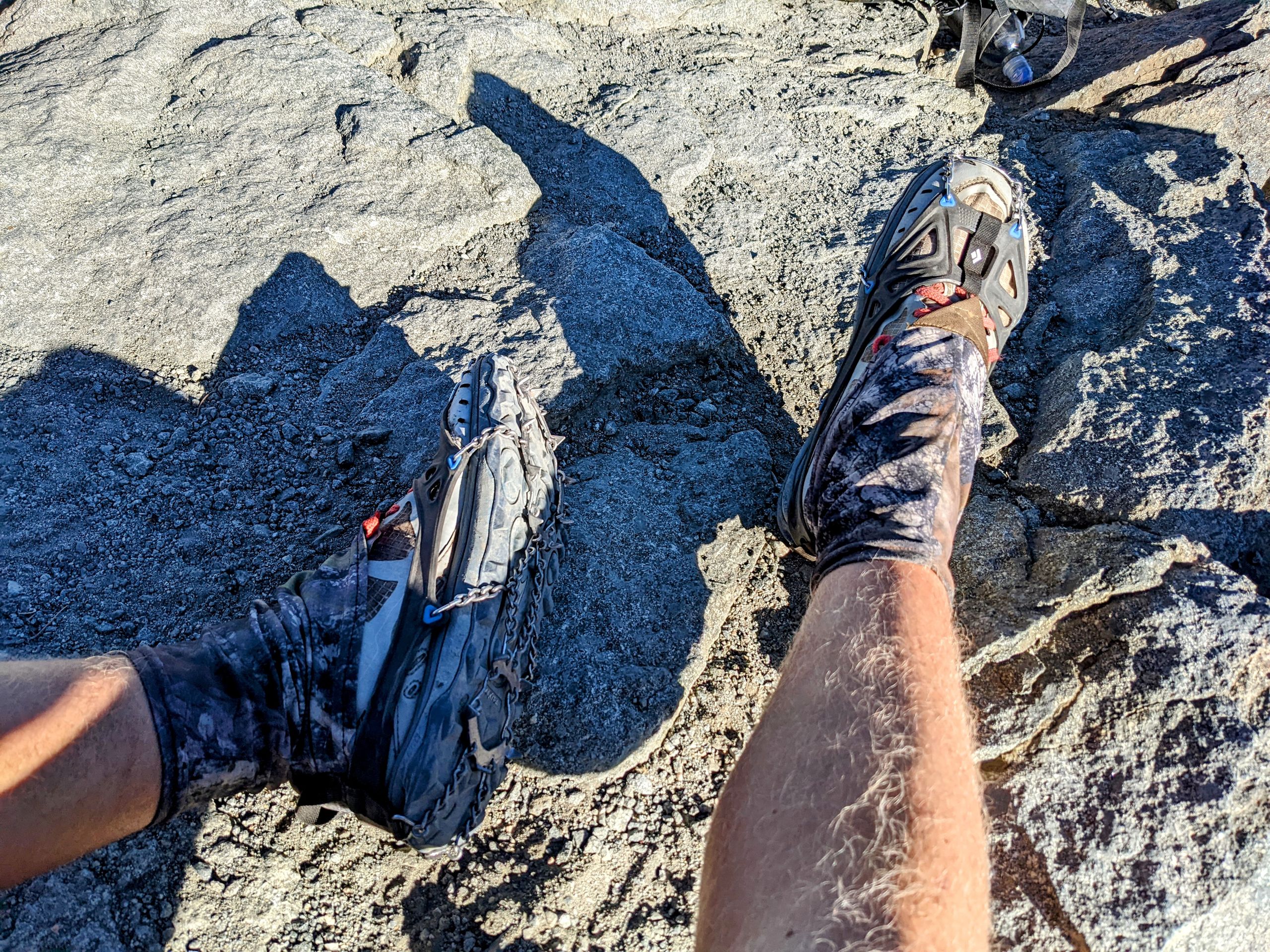
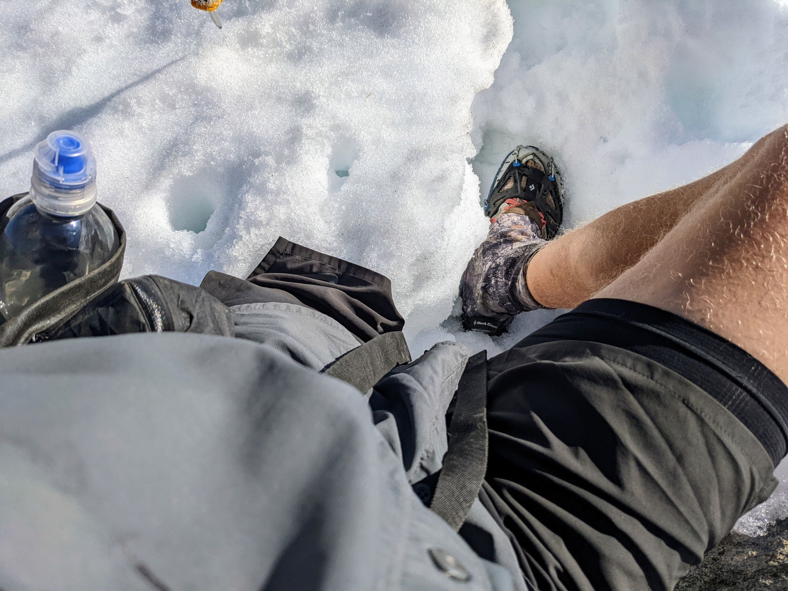
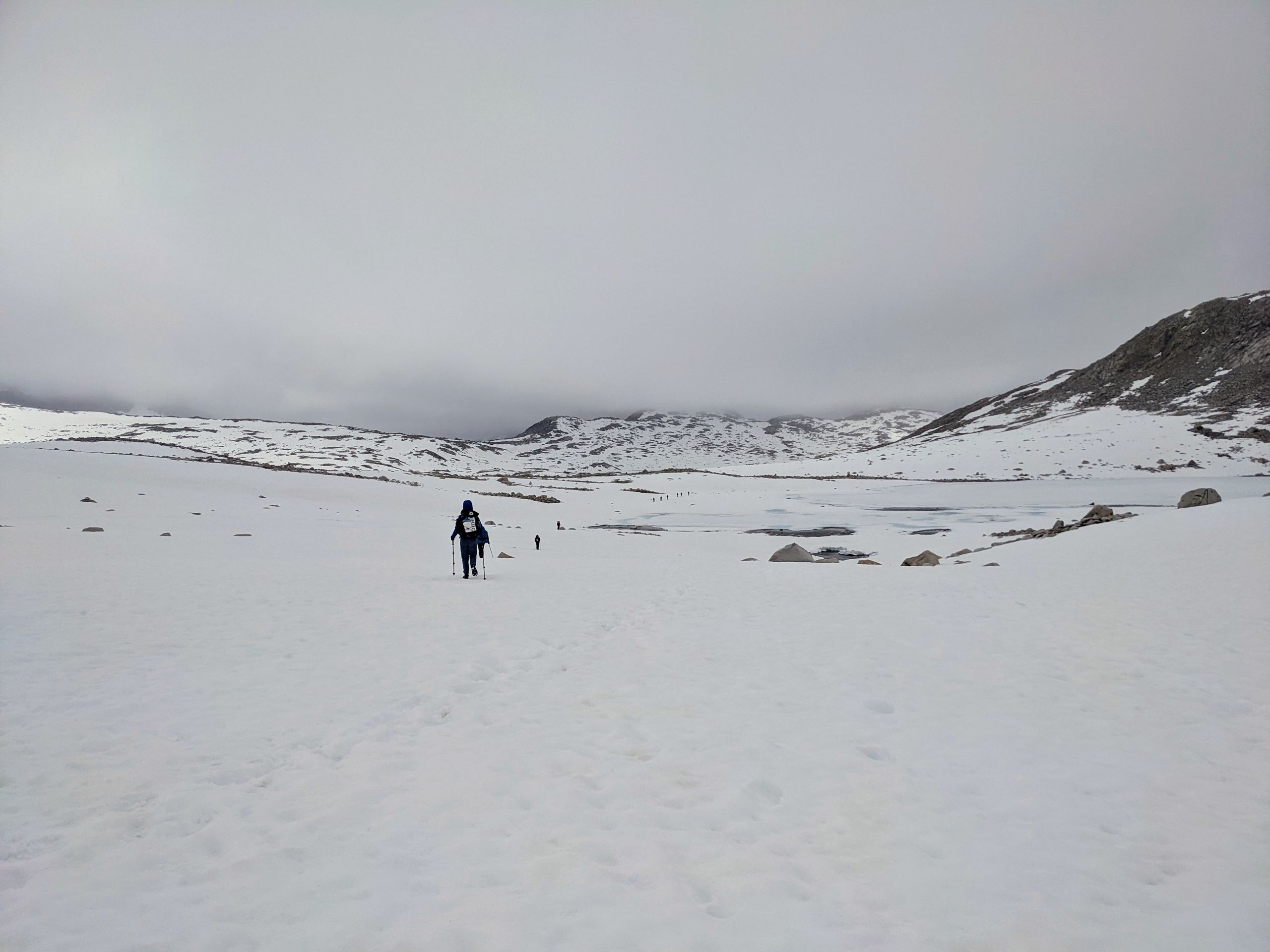
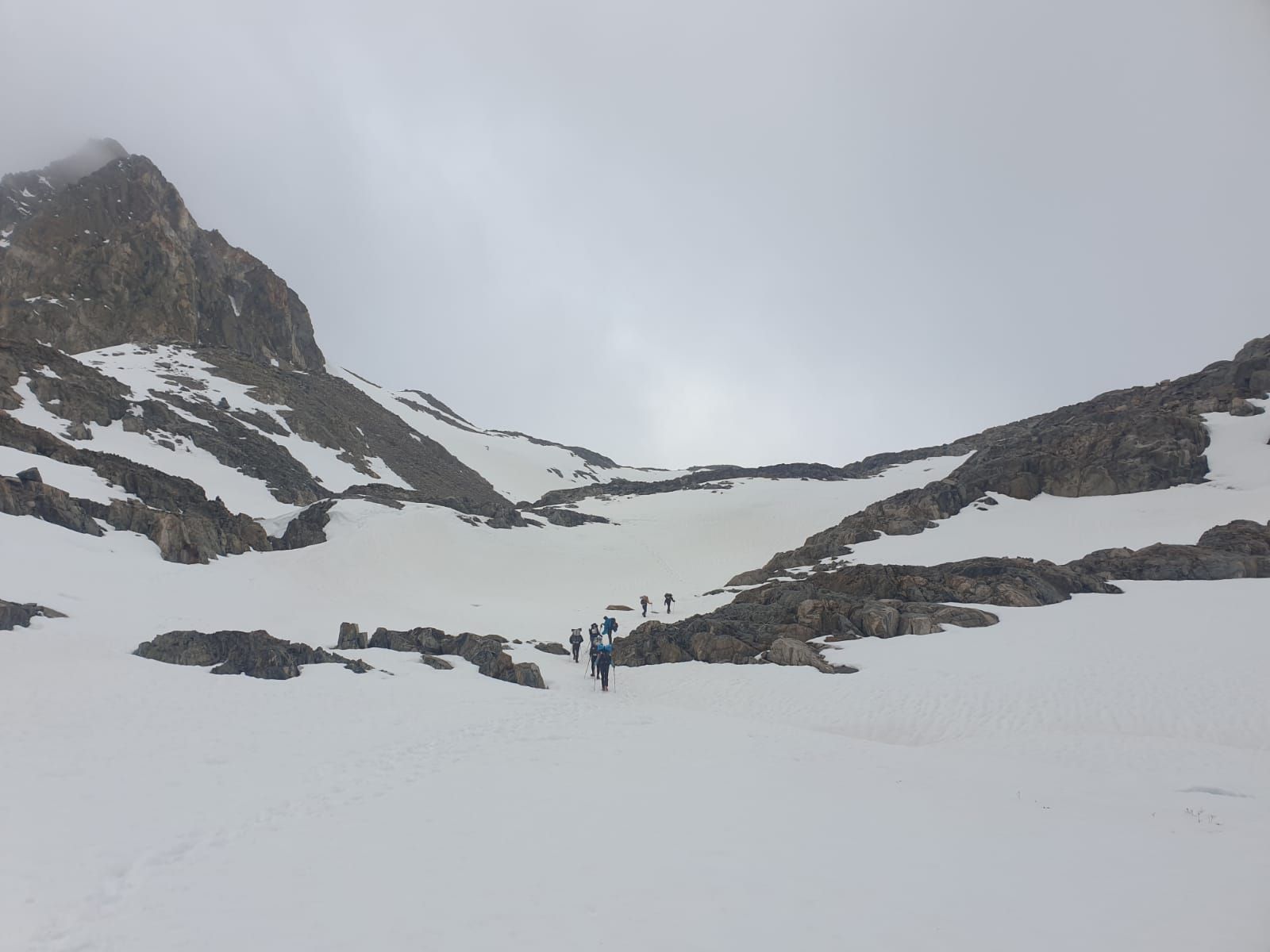
Along the way, I observe a mouse that sits beside the trail for a long time and is not bothered by us. During the descent from the pass, we have to use microspikes again for the first time since Mount San Jacinto. We cross some moderately steep snowfields.
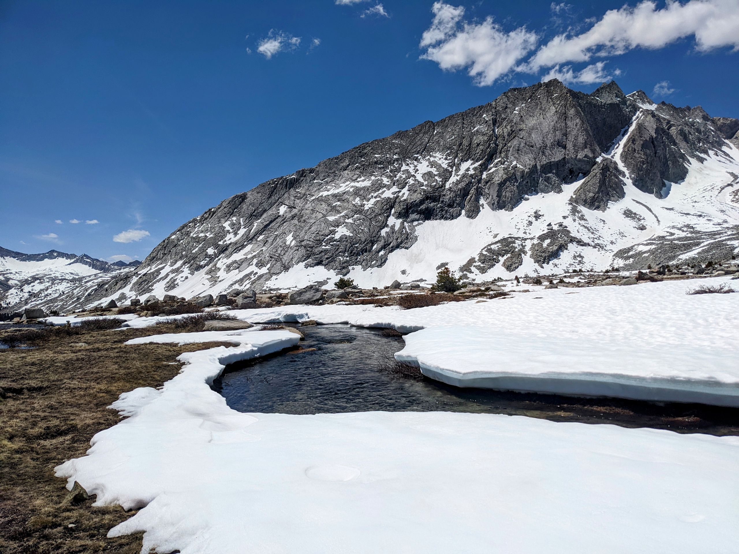
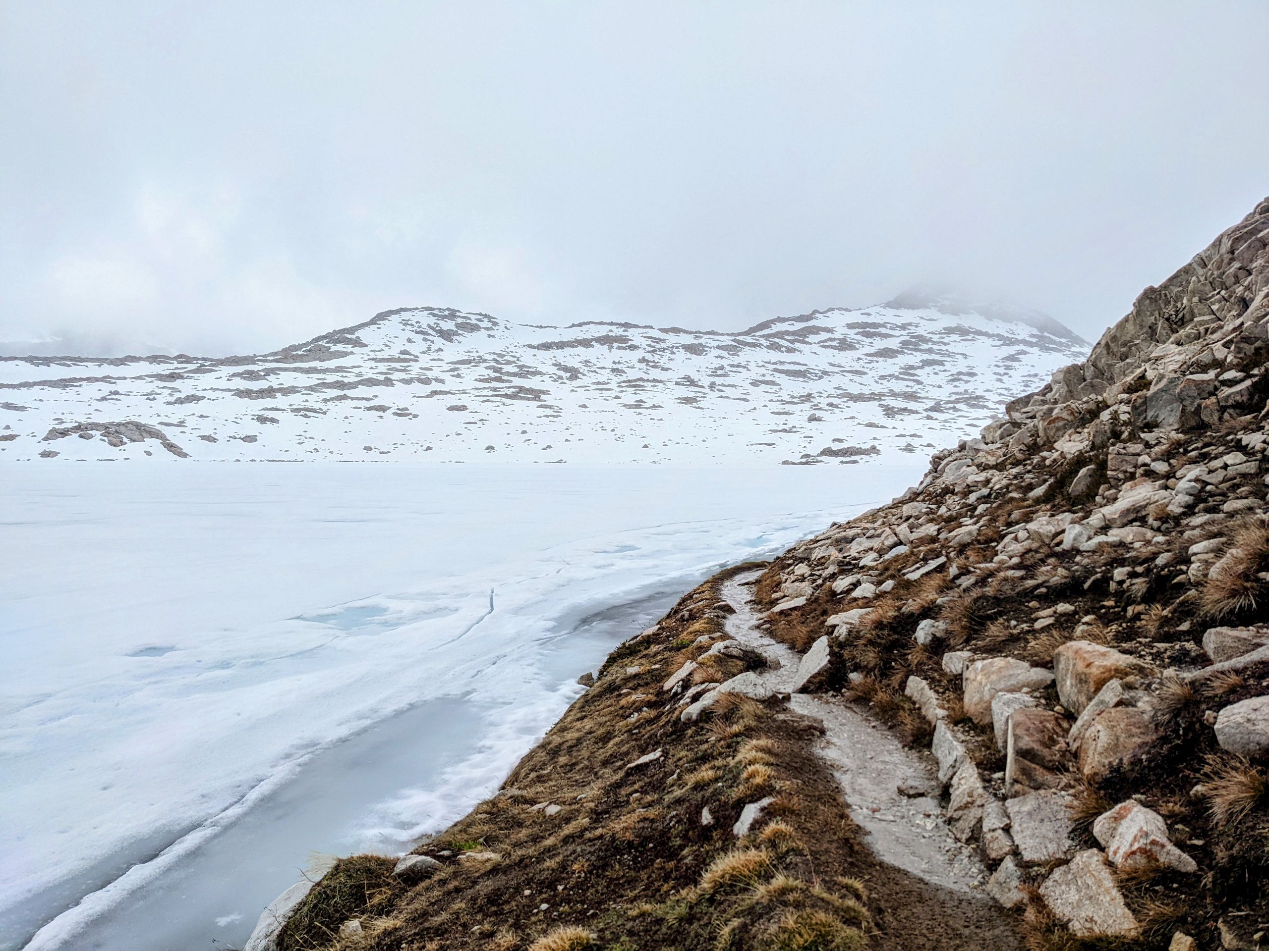
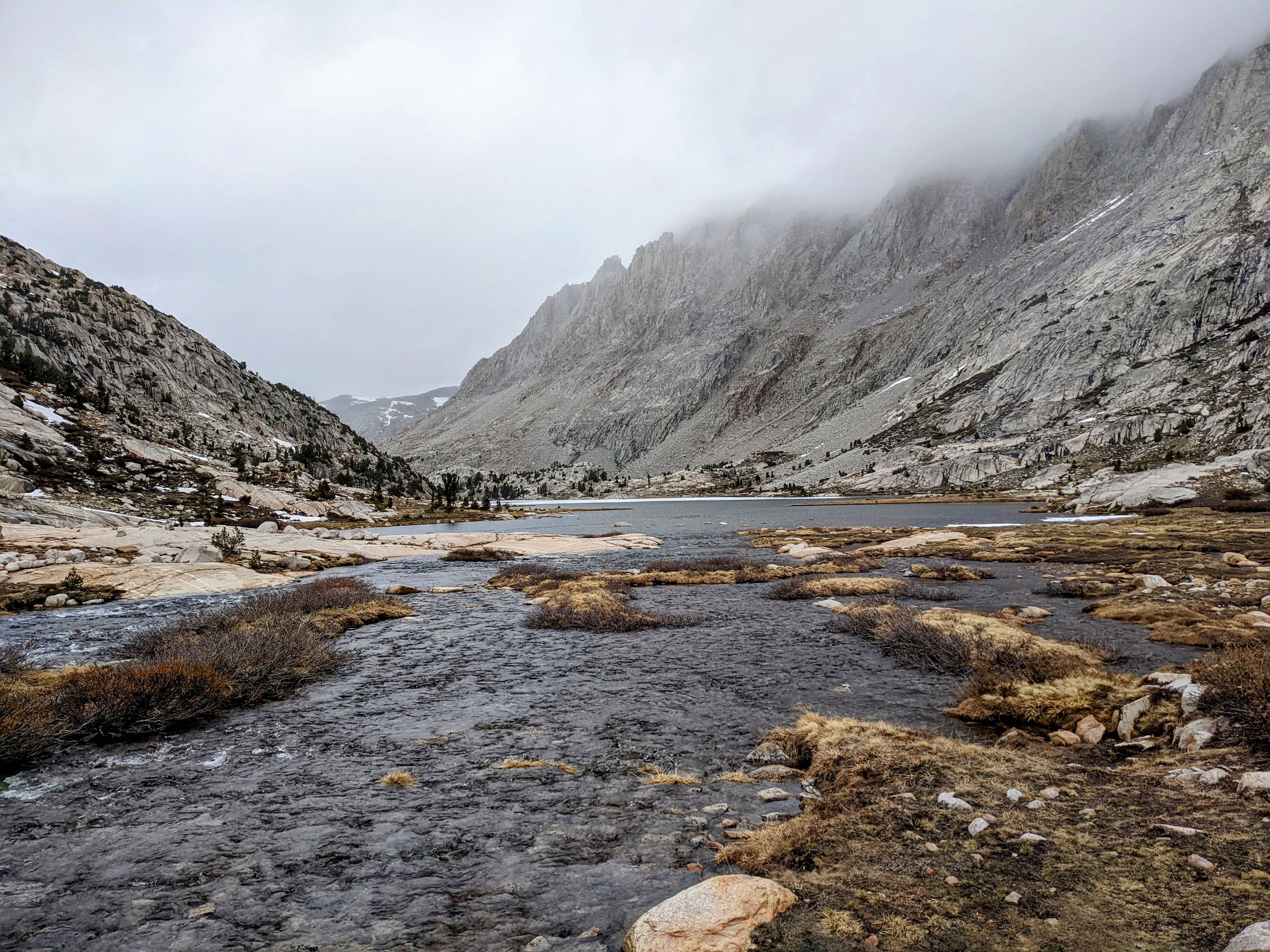
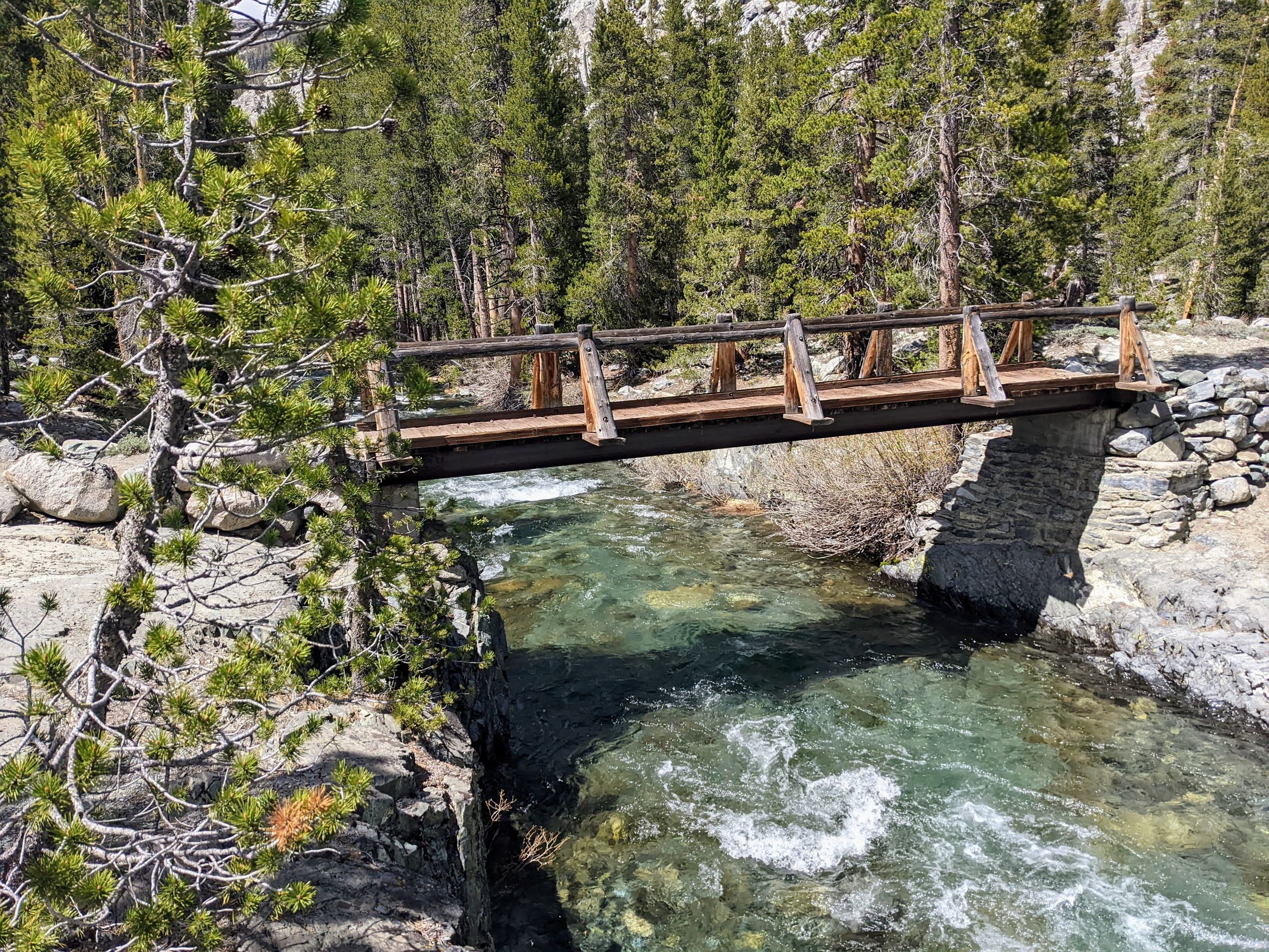
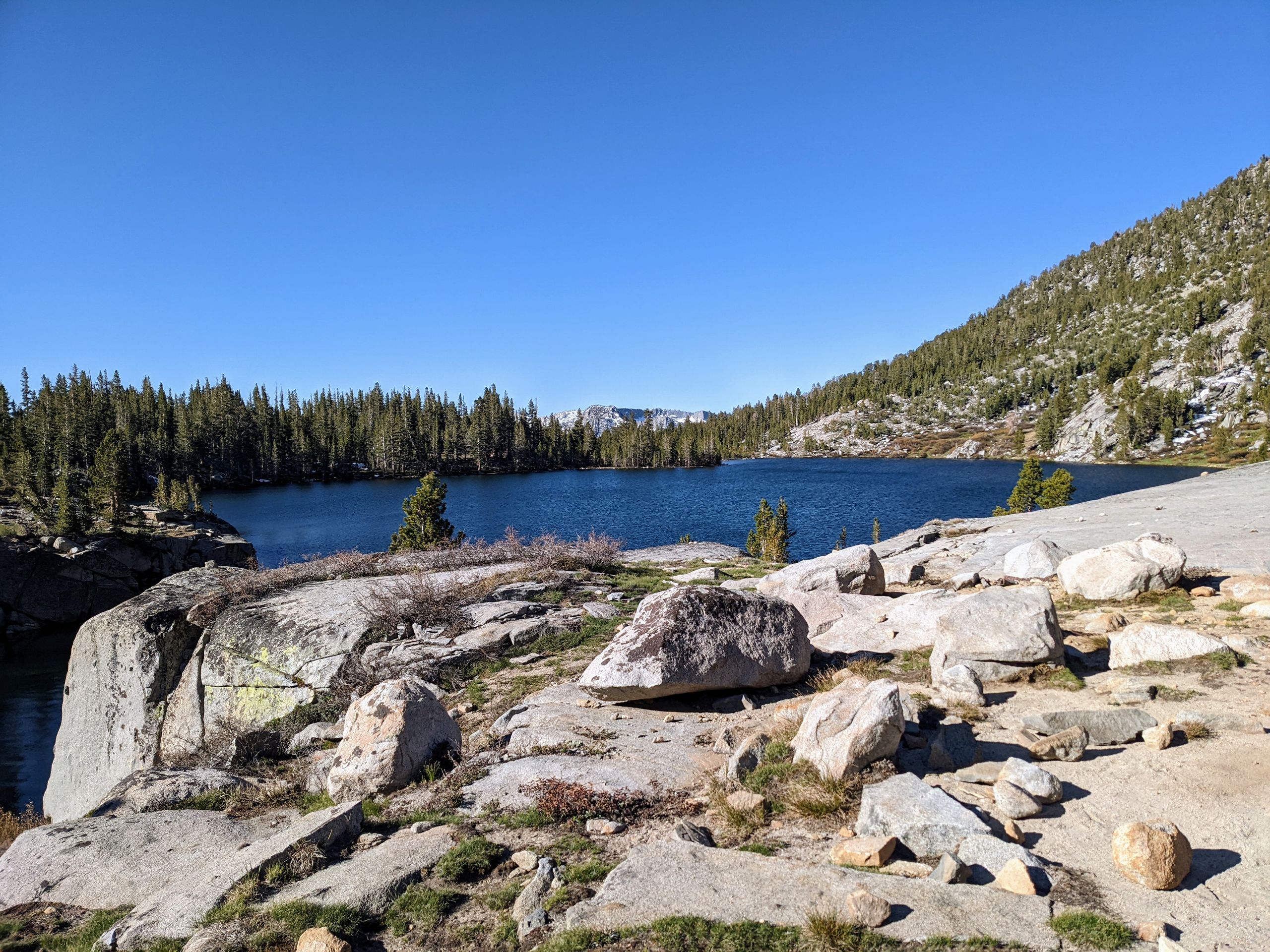
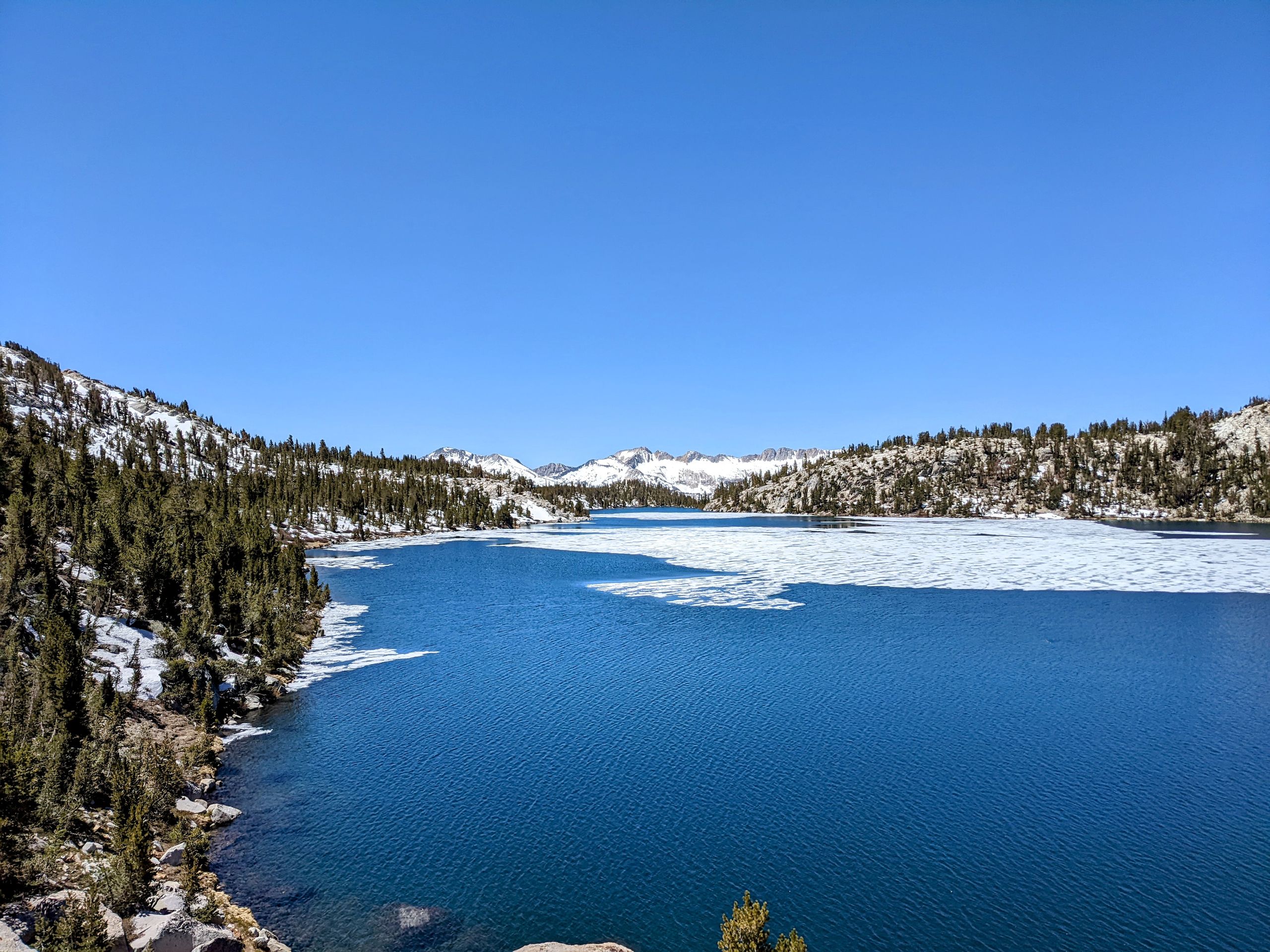
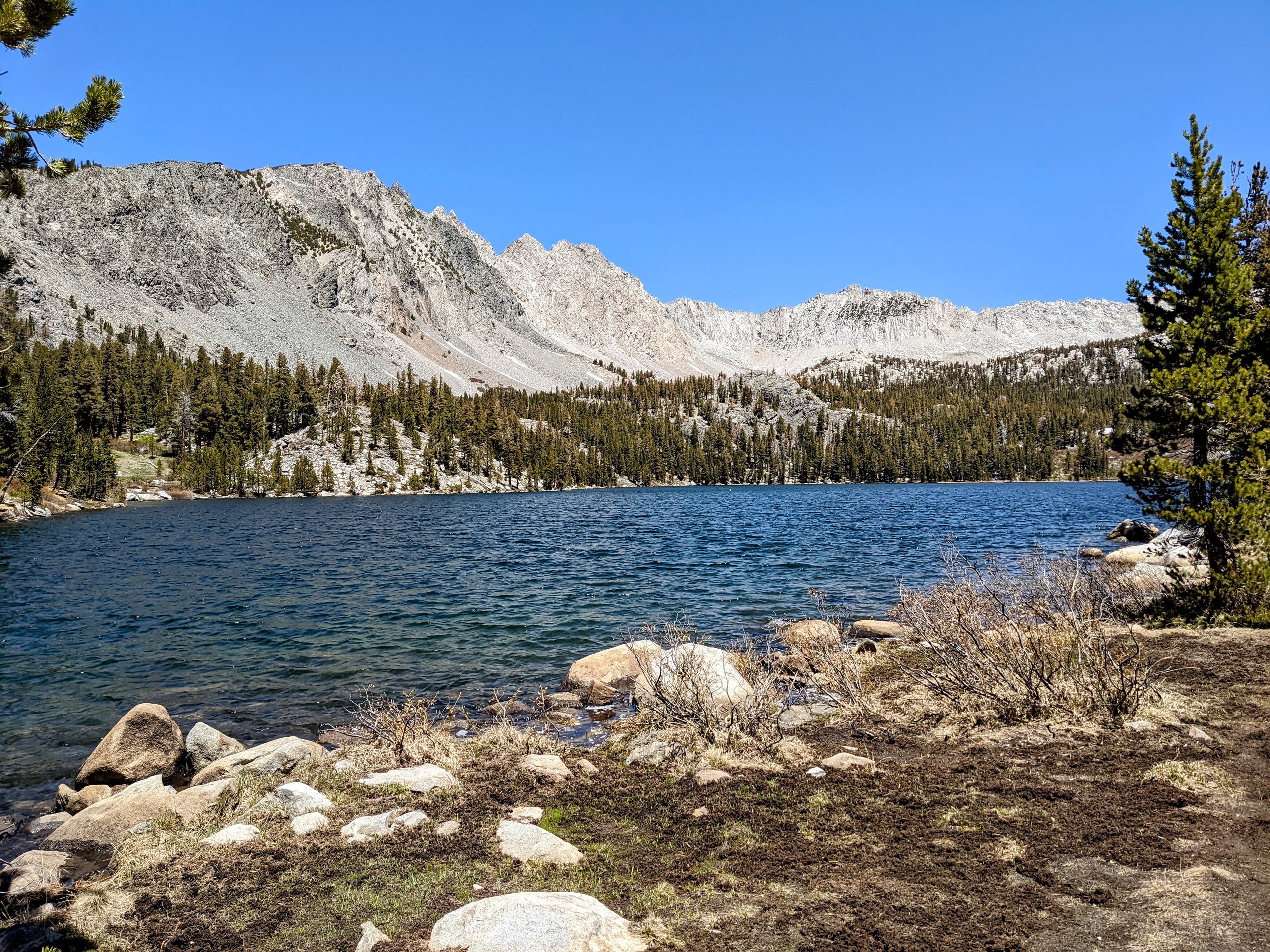
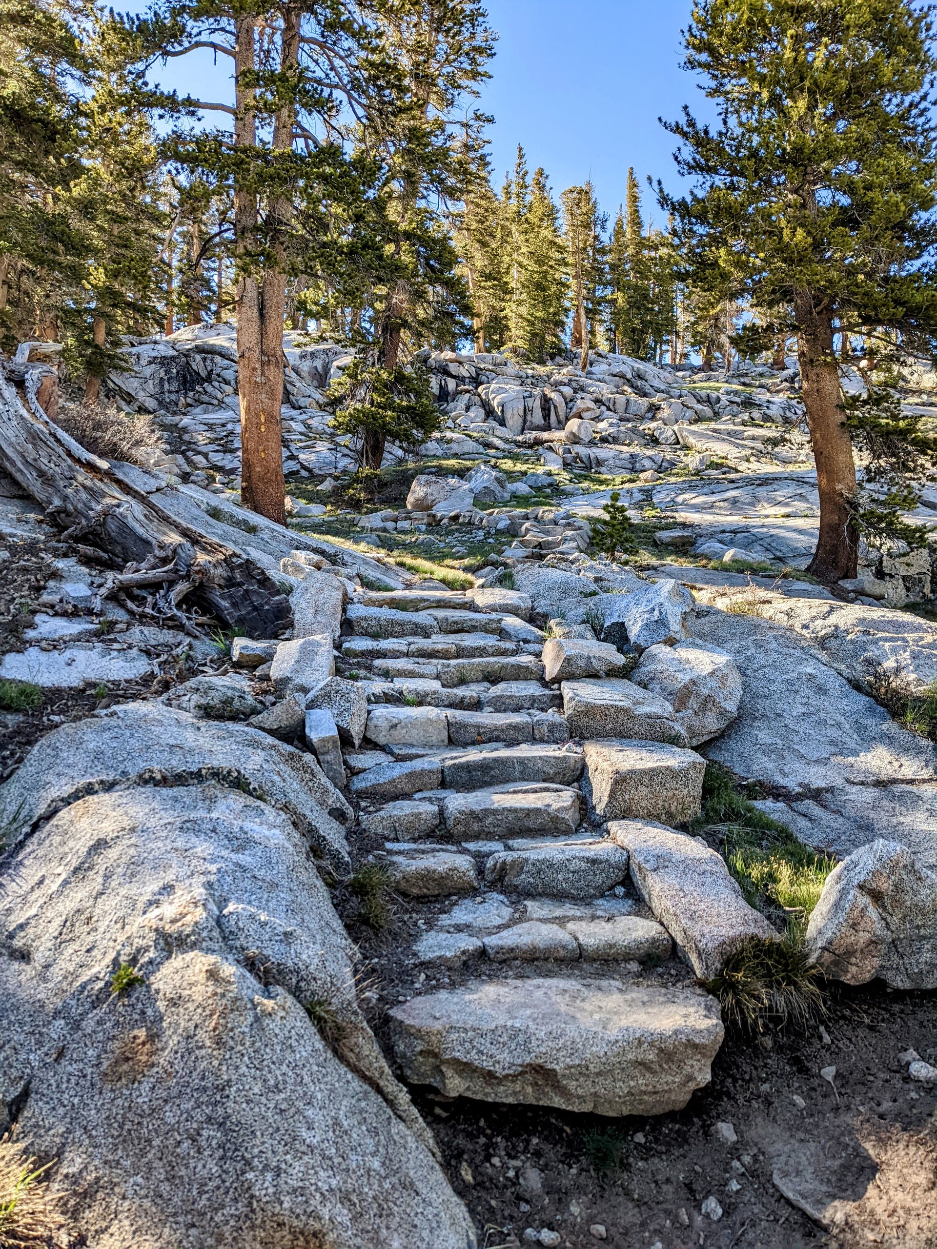
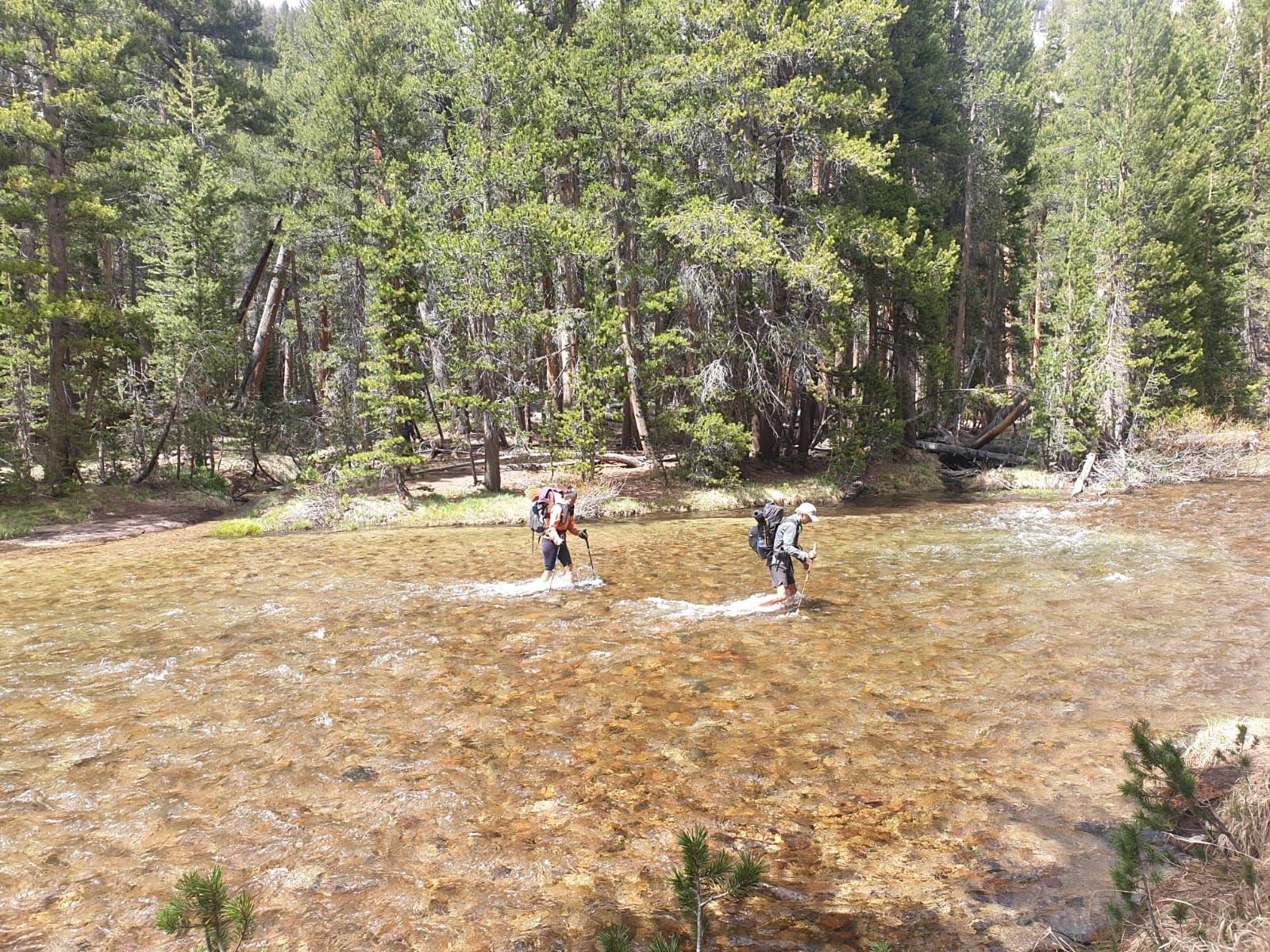
Although it's still early in the morning, I sink up to my left hip in the snow. However, the descent is not too difficult, and we can even slide down a small slope. Afterward, the trail leads past some beautiful mountain lakes. At the first one, Rae Lake, it's Pop Tart o'clock. After the lakes, we follow the South Fork Woods Creek, which is a sometimes strong mountain stream due to the melting snow. The trail itself is sometimes partly underwater. We cross the river multiple times. One crossing is not easy. We have to go from rock to rock, onto a log, to the next rock, onto an island in the river, back onto a rock, and to the other side. The river roars around me, but I can tell that I've become much more confident. I reach the other side and will now be more cautious not to get overconfident and to take the crossings seriously, despite the gained confidence. After lunch, we finally reach the 800-mile marker. The last 100 miles have taken quite a while, but we also climbed Mount Whitney and went to Bishop during that time.
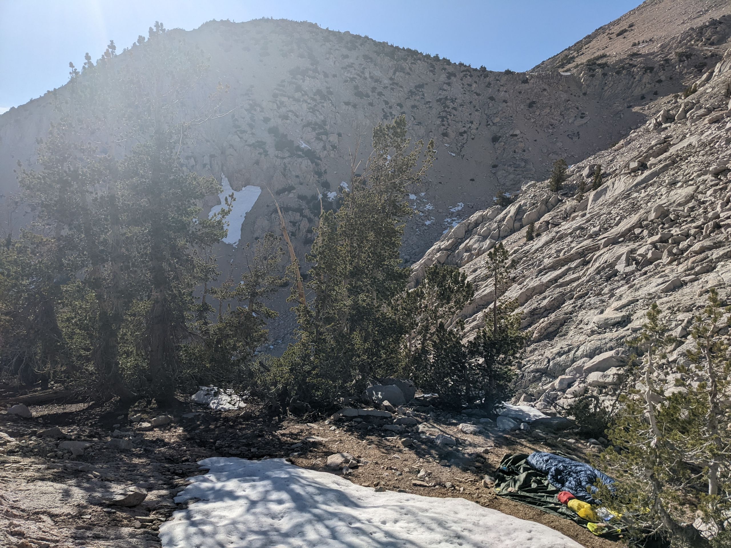
Today, we only make it four miles further because then we approach Pinchot Pass, which we have to cross in the morning. These four miles, however, are beautiful. First, we walk along the impressive Woods Creek, which rushes through the valley here. Later, we cross it, and it's the first crossing that can't be done with dry feet. Afterward, we continue uphill, and due to the melting snow, the trail sometimes leads through small ponds, which can be easily bypassed. Right beside our campsite is one such pond. The clear water is surprisingly warm, so we take a pleasant bath before dinner. A nice way to end the day.
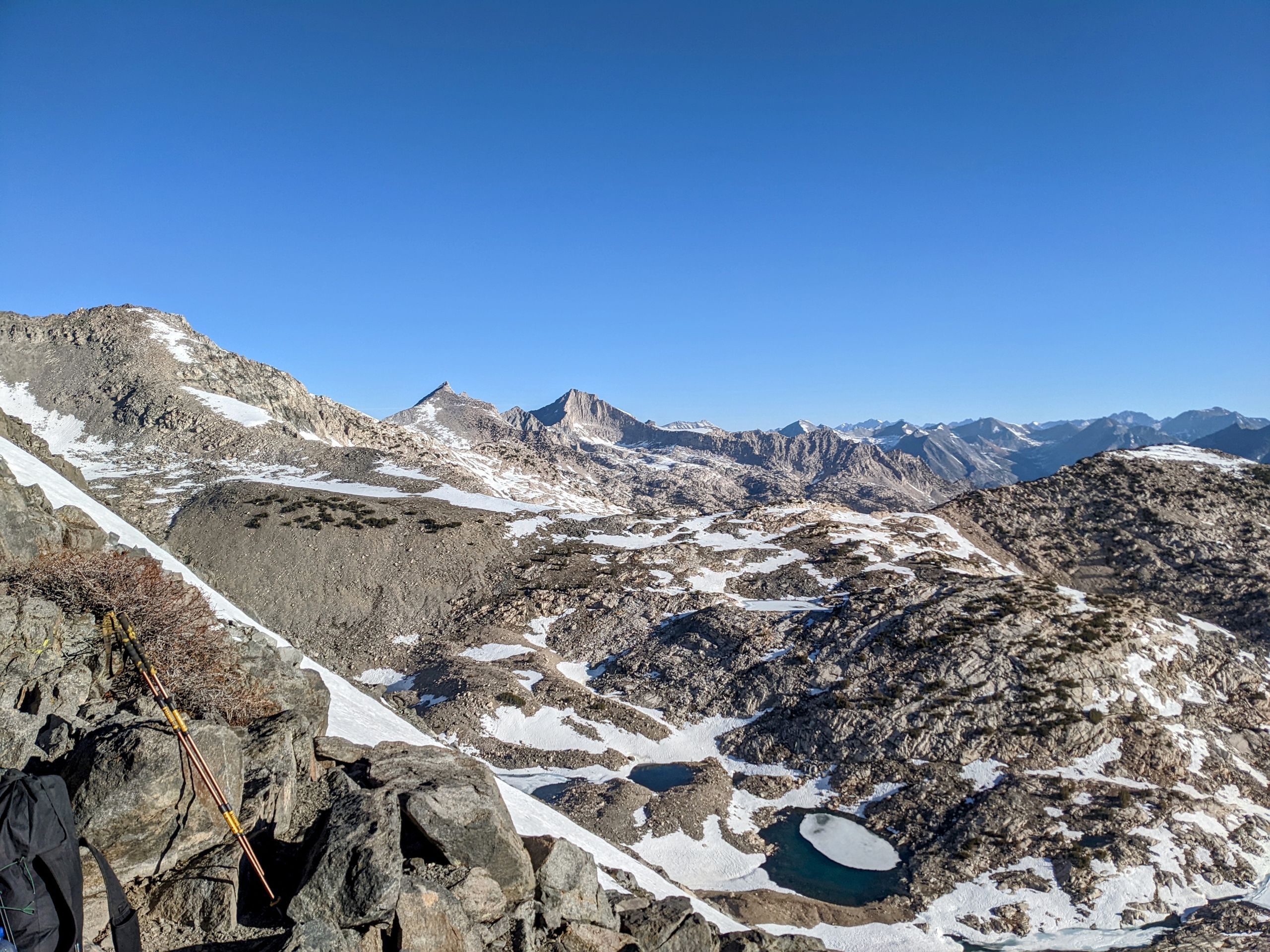
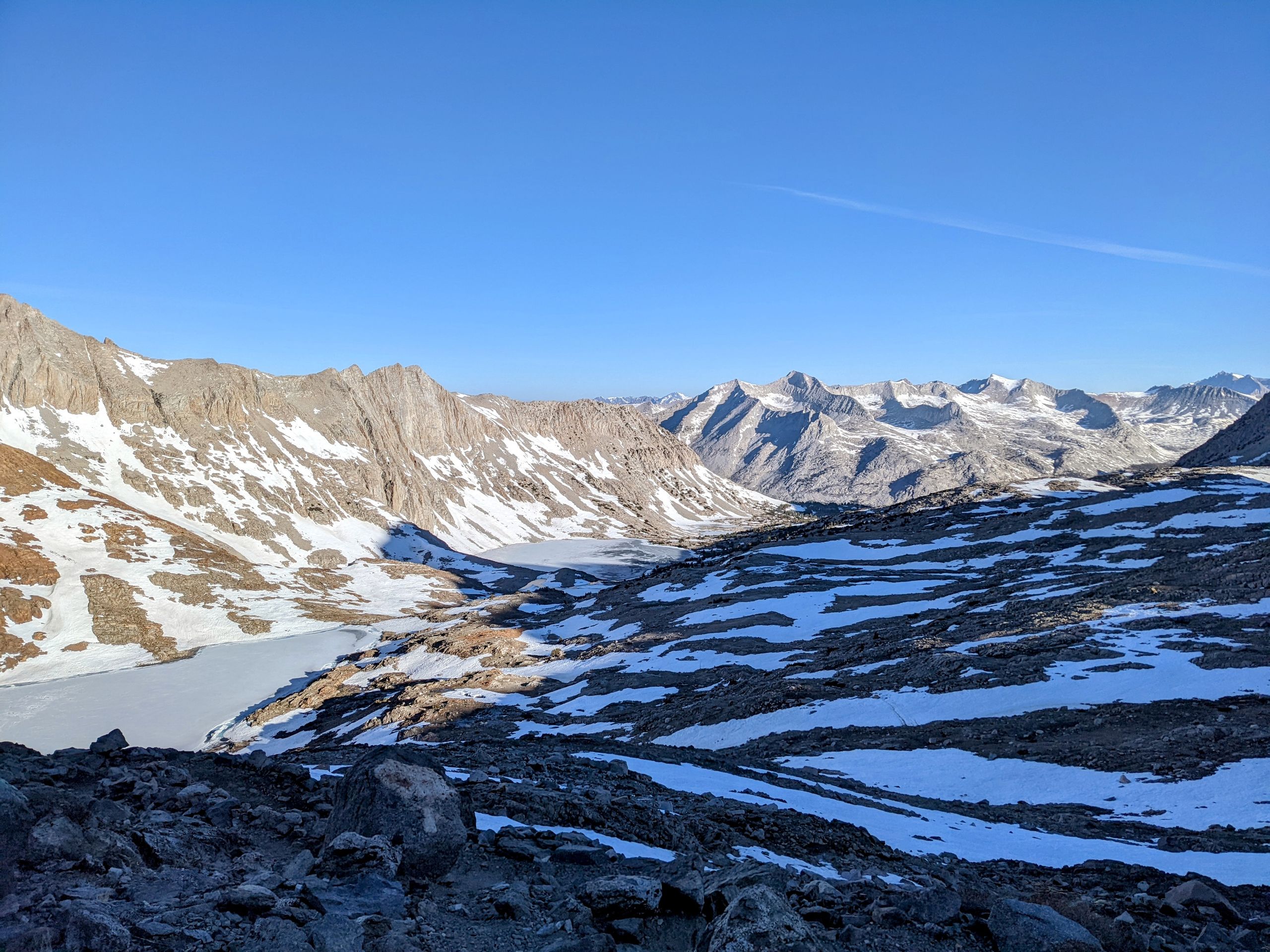
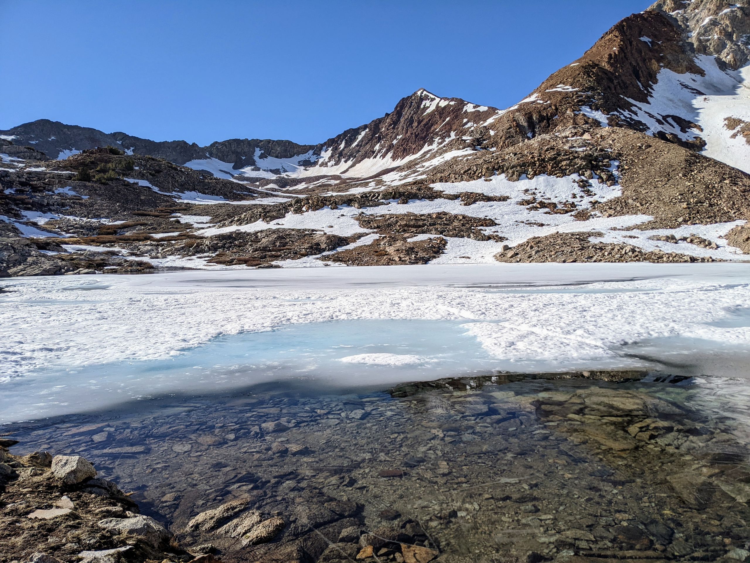
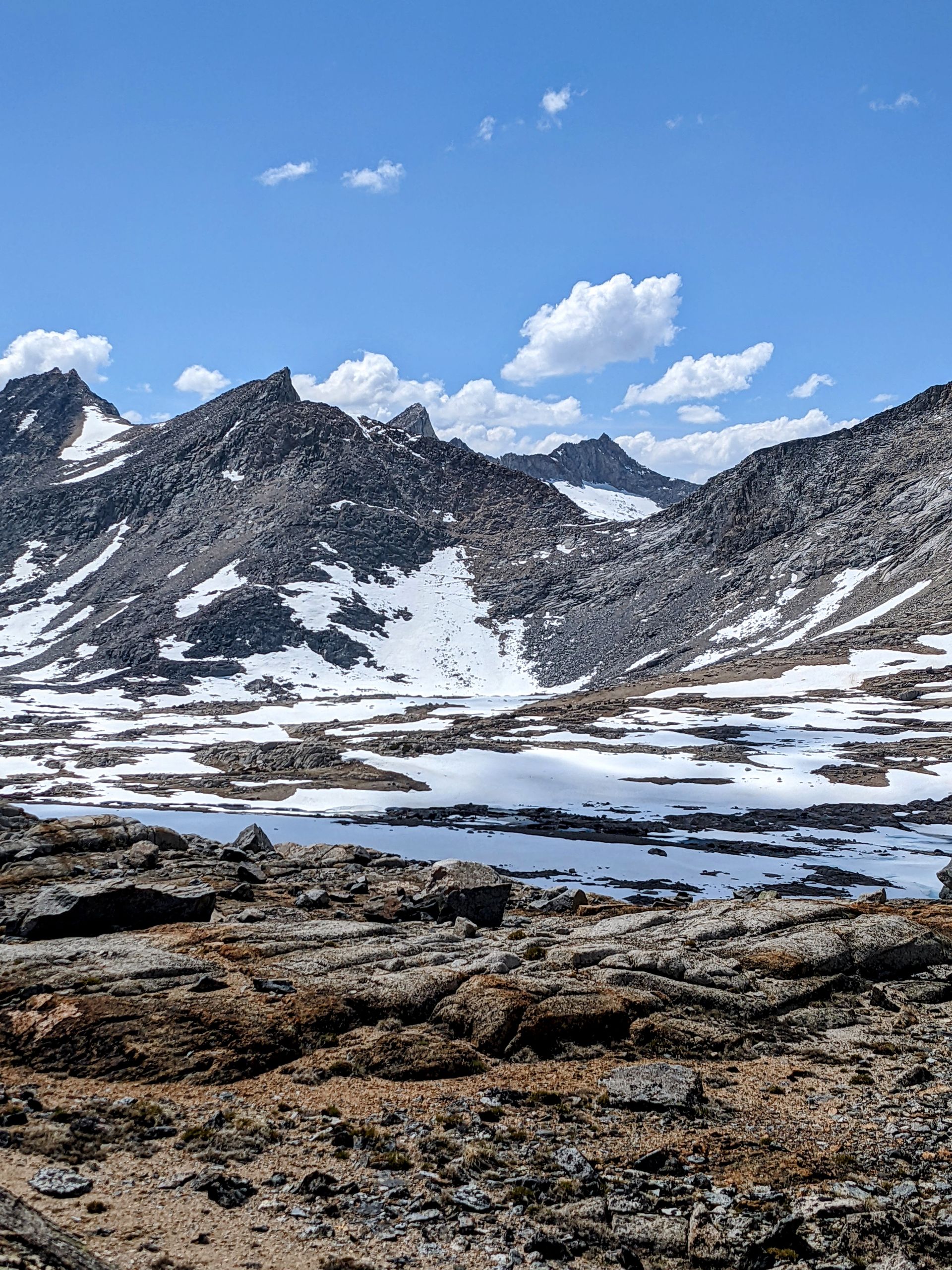
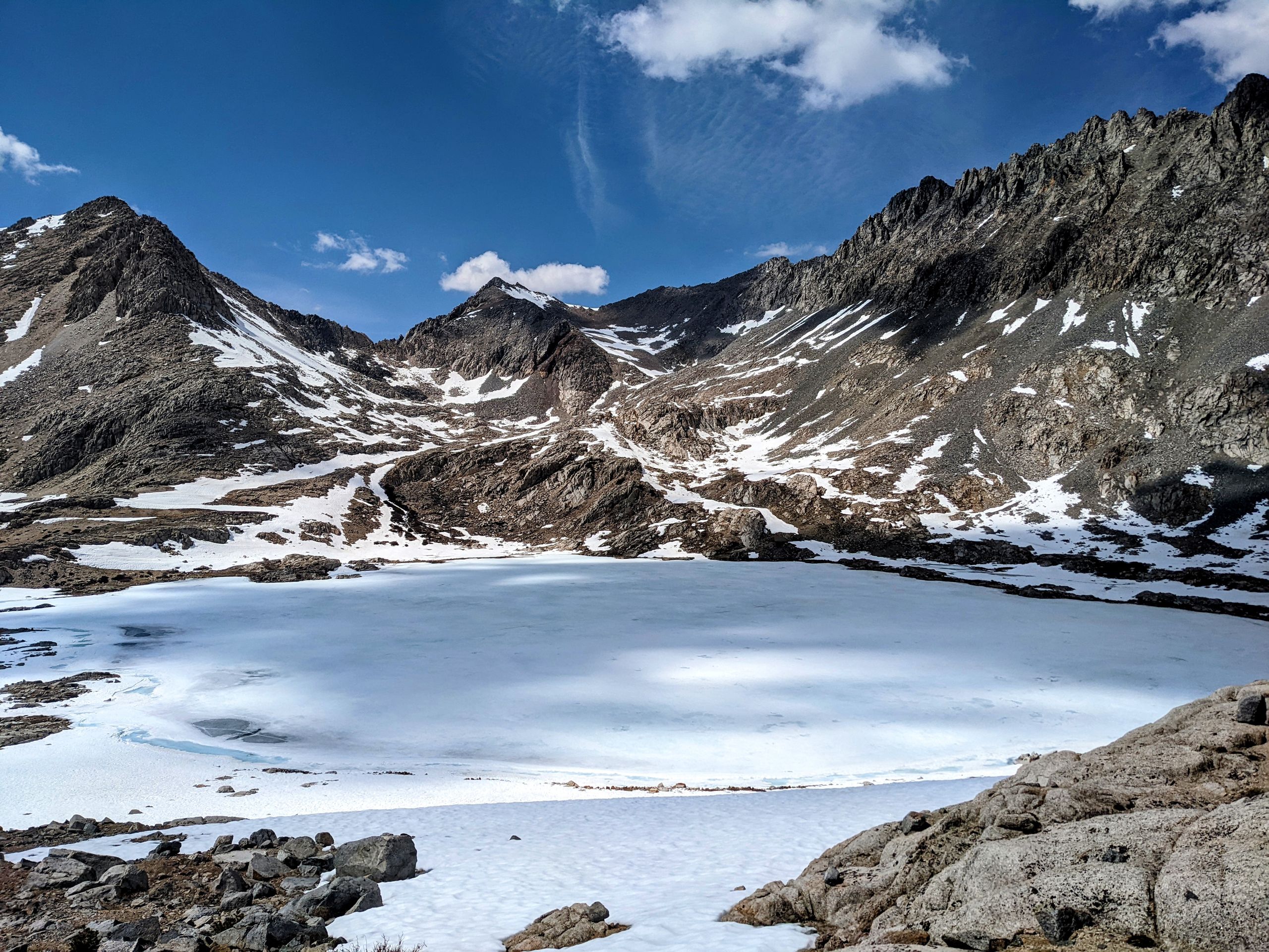
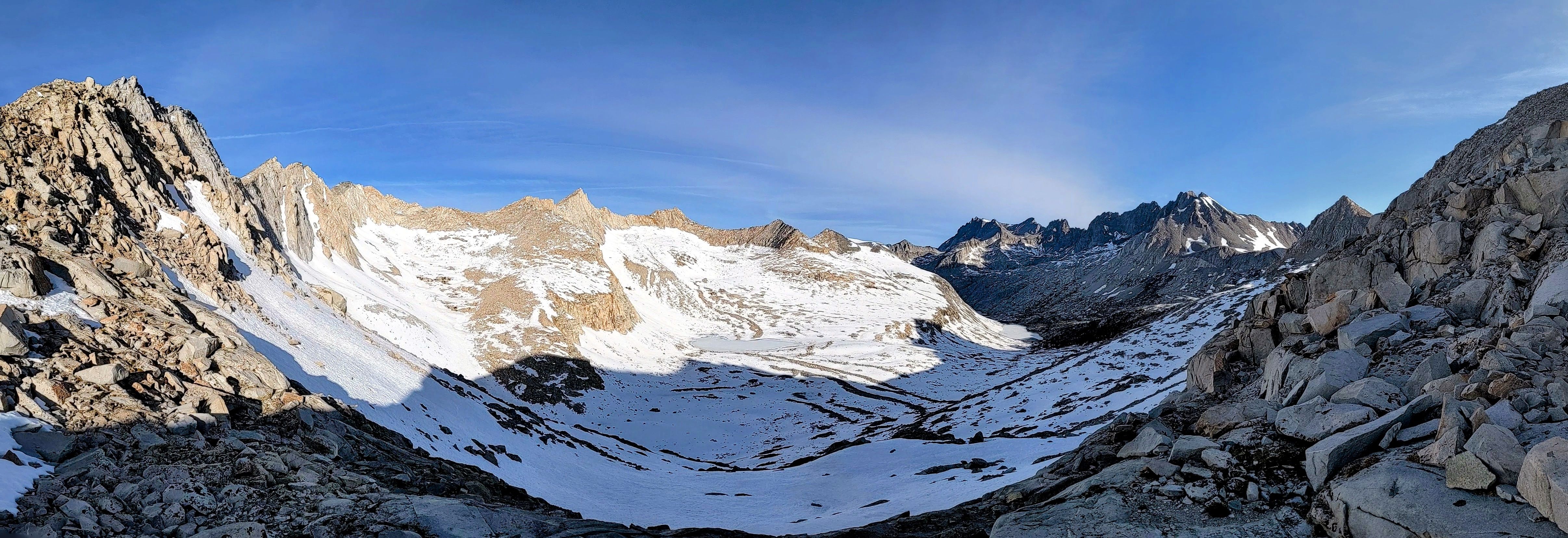
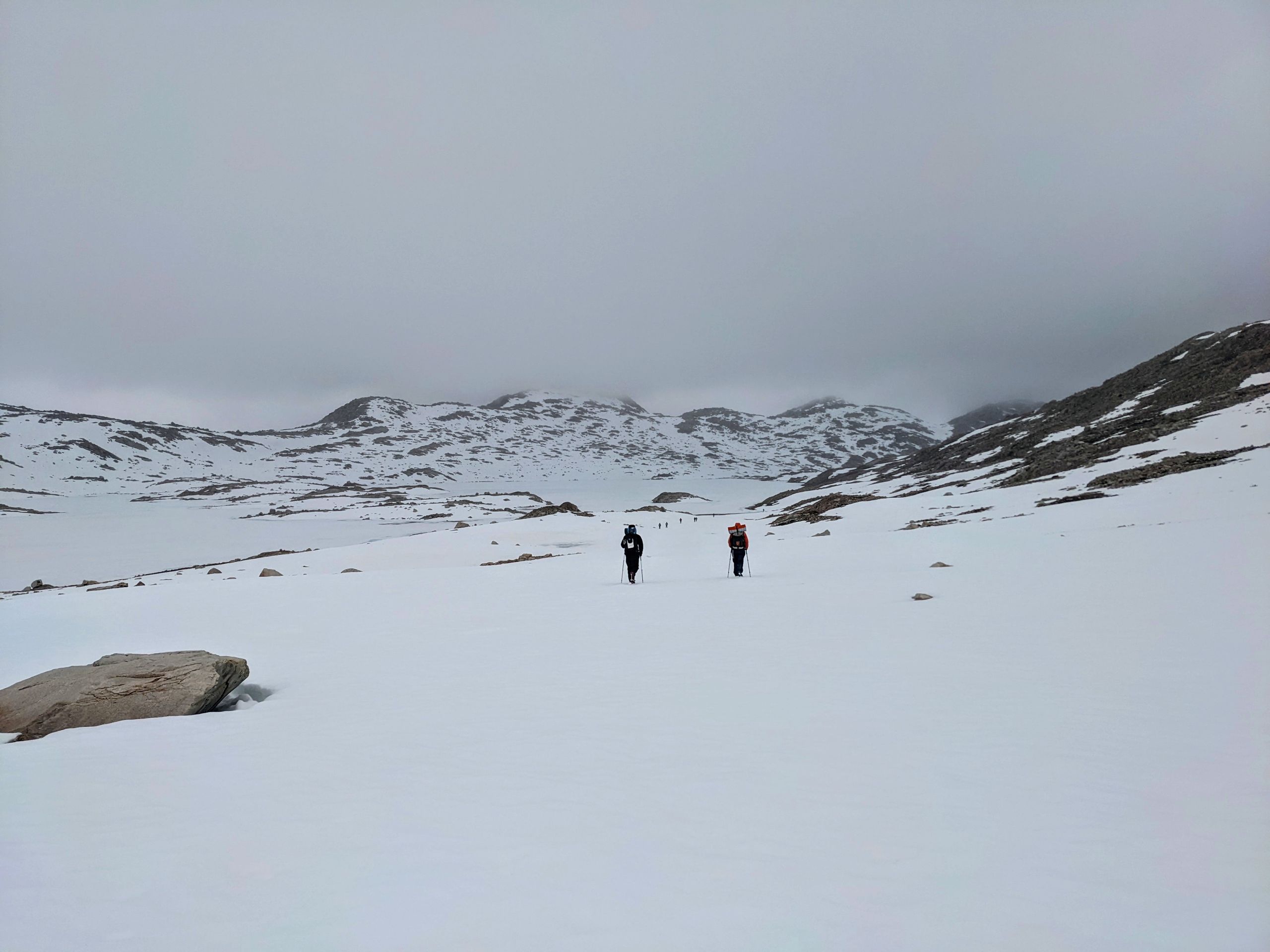
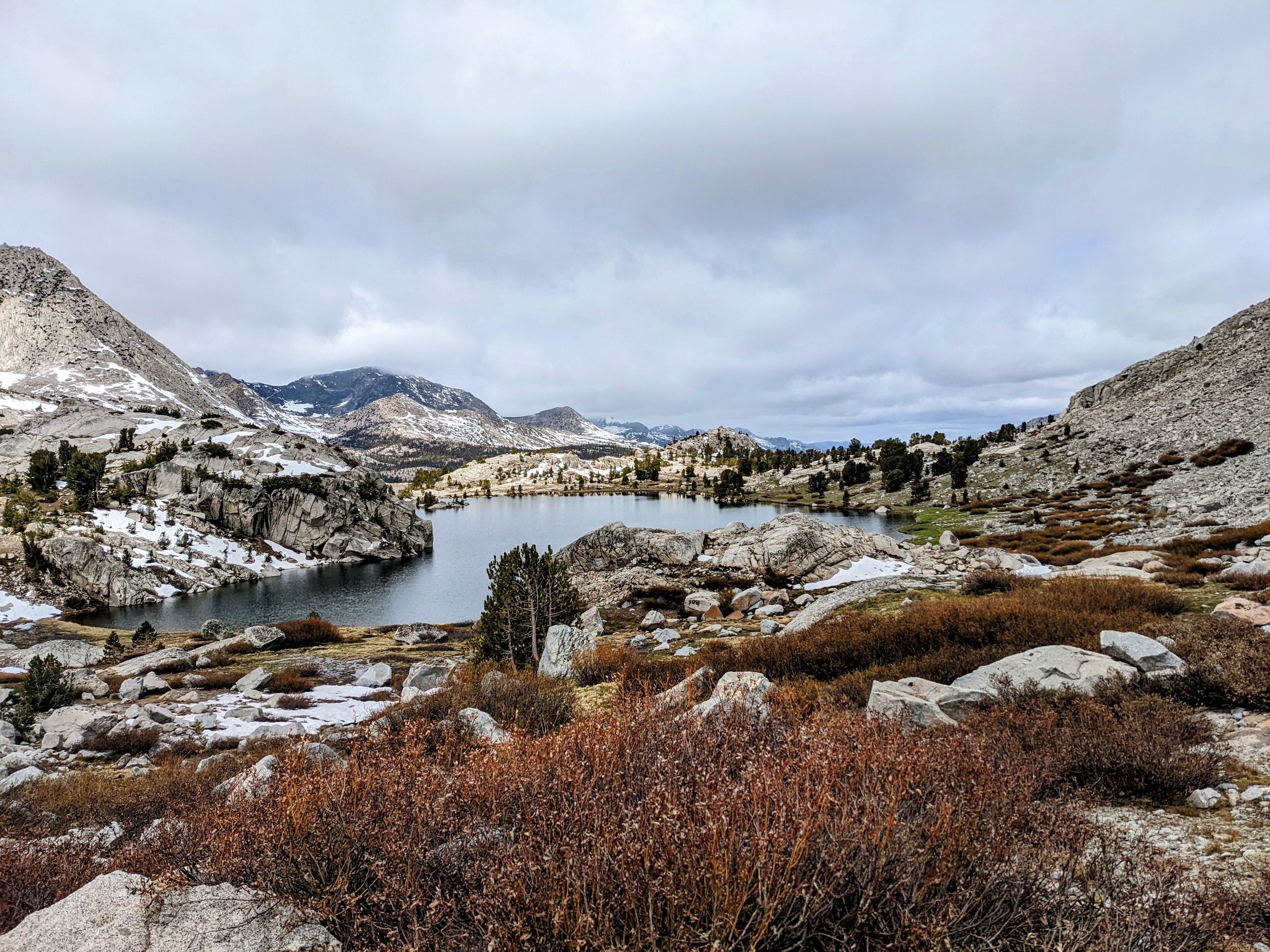
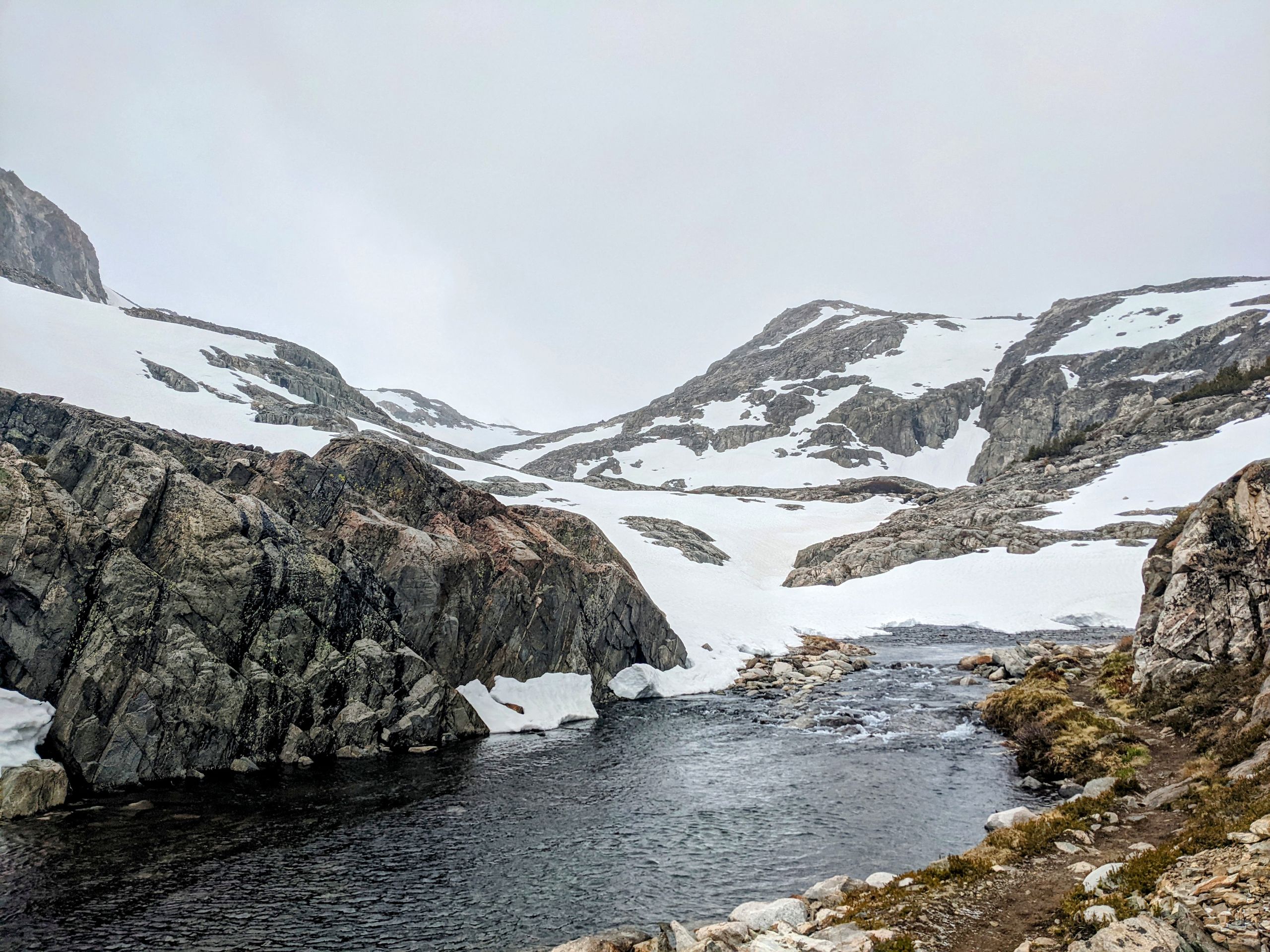
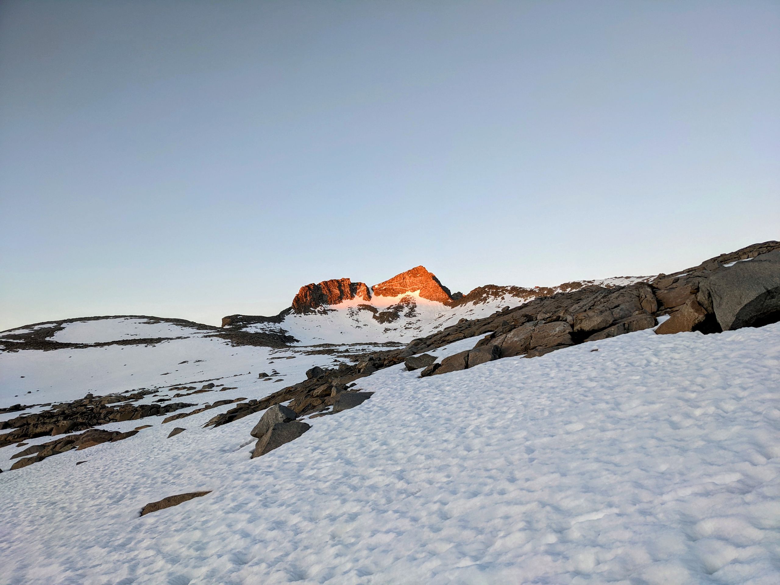
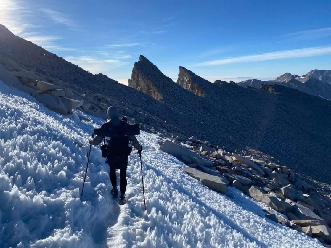
Day 50: We cross Pinchot Pass early in the morning. Initially, there are a few snowfields to cross, and we have to navigate a lot with GPS. But the ascent itself is not very long, and we reach the pass quite unexpectedly. The view is excellent, with only frozen lakes and snow-covered mountains on both sides.
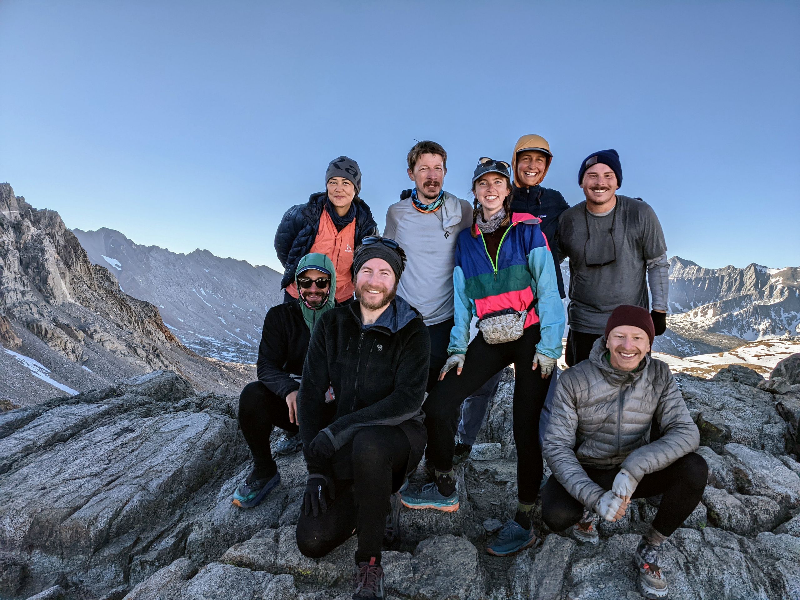
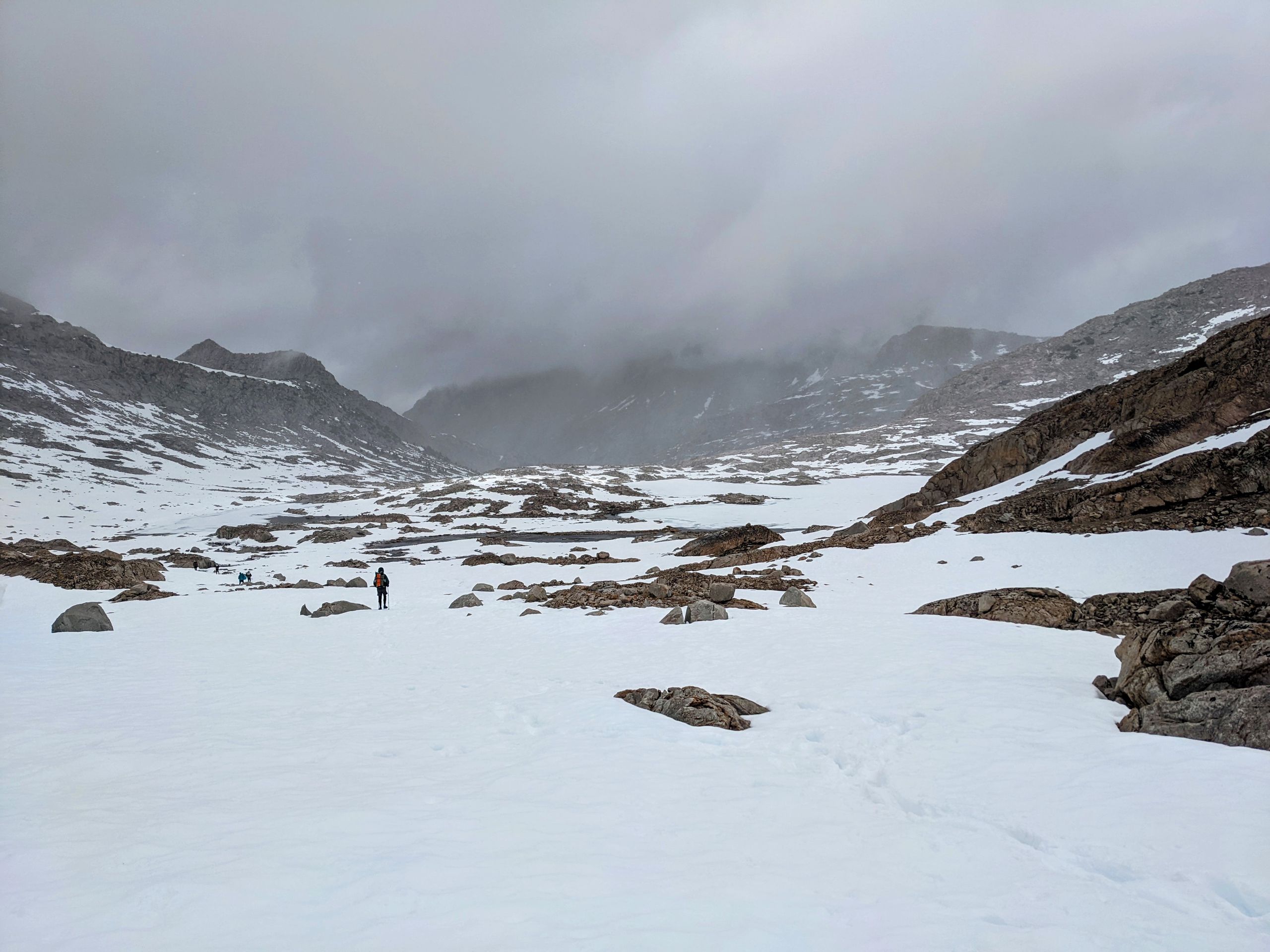
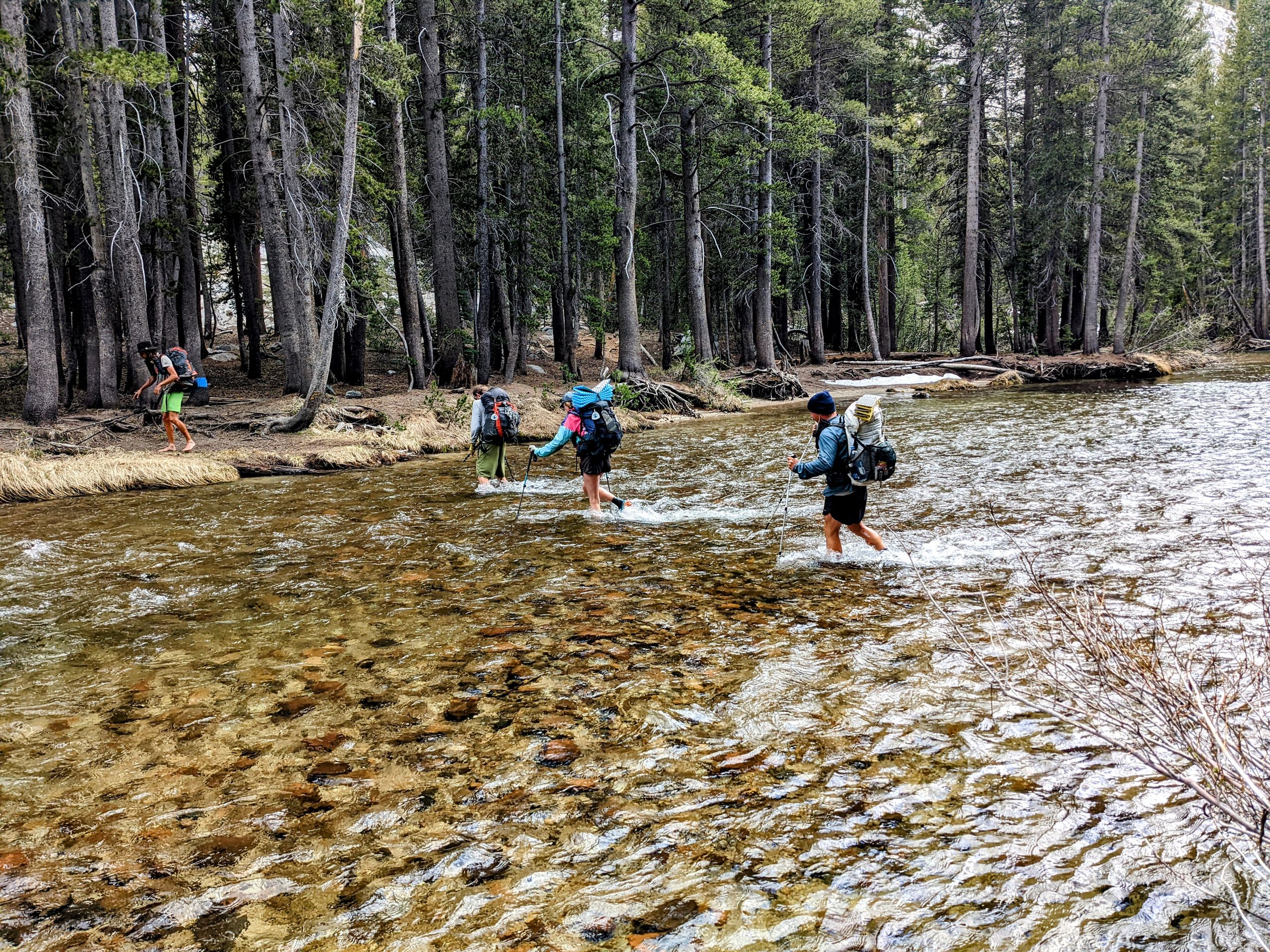
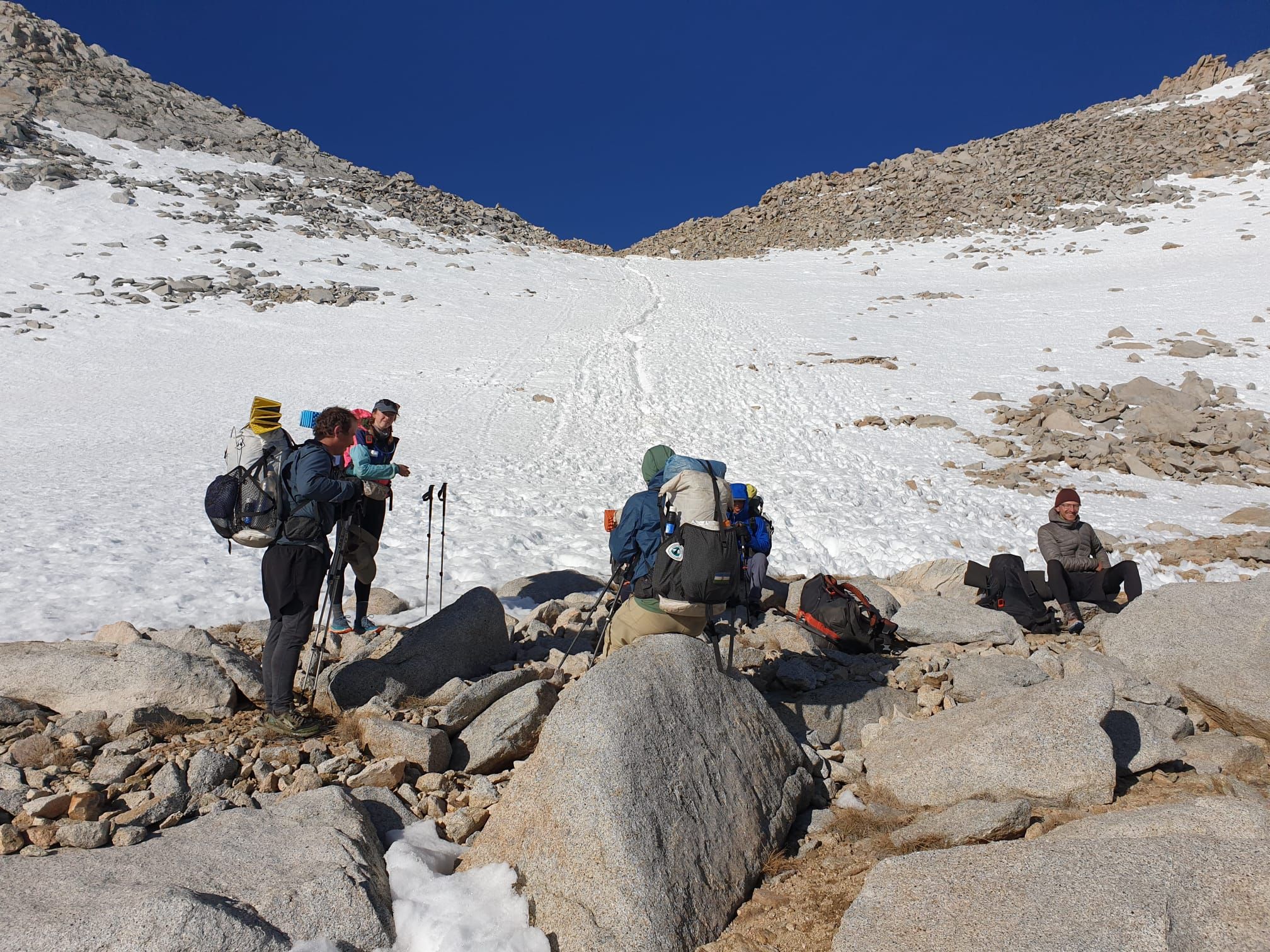
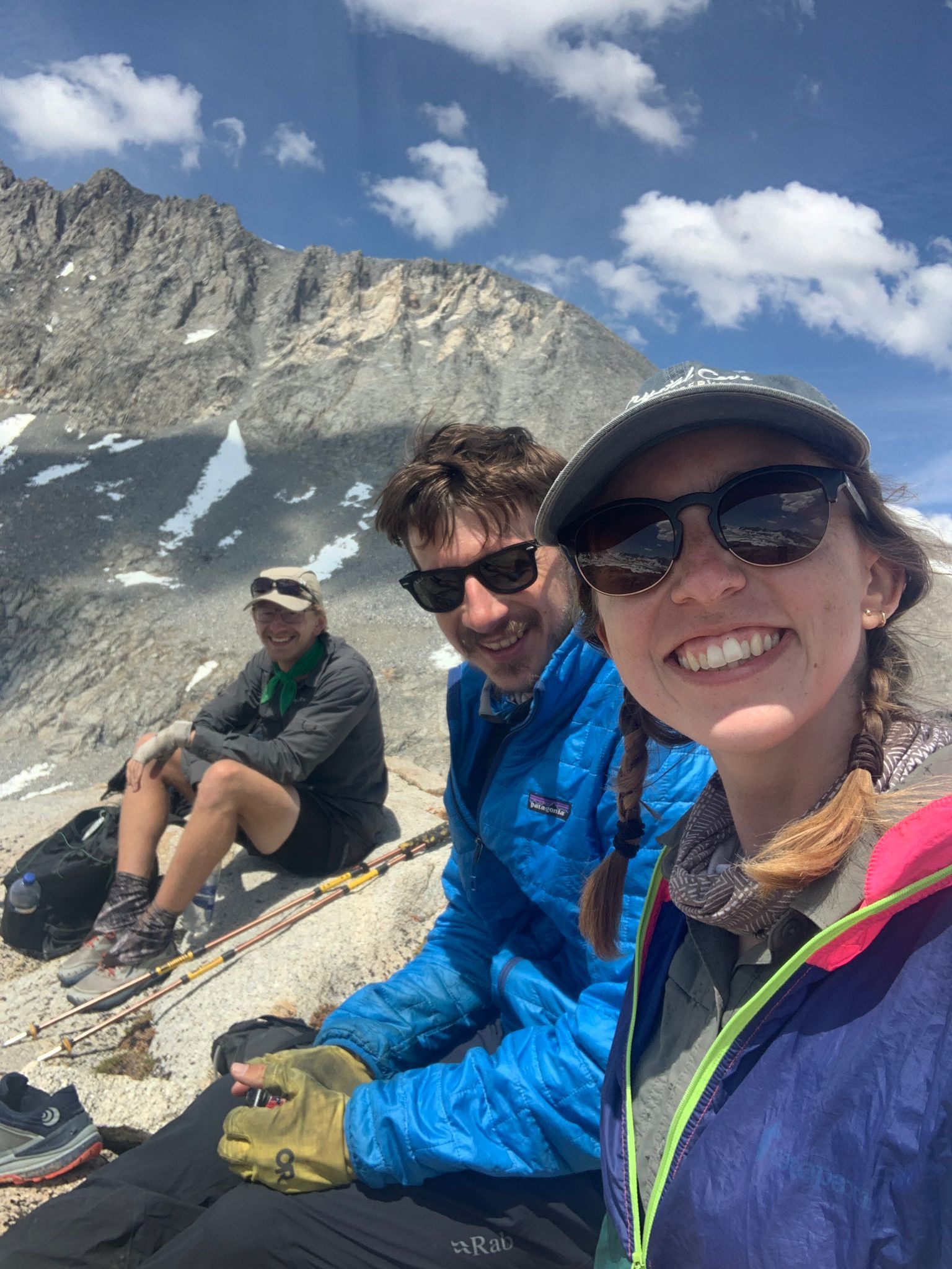
The descent is easy and quick. The rest of the day is characterized by river crossings. Since our feet inevitably get wet, we don't even bother trying to keep them dry when crossing. The most challenging crossing is the one of the South Fork Kings River, which we follow today and cross multiple times. At one point, the water reaches up to our thighs. But all the crossings are manageable. Today, we can't hike more than 10.5 miles before reaching the base of Mather Pass. This pass is considered one of the, if not the most difficult pass on the PCT. Last year, a hiker fell to their death here. Since we reach our campsite around 12 o'clock already and don't want to hang around all day, Butterfly, Sorry, and I decide to attempt to climb Split Mountain from the same spot where Butterfly climbed it last year, right next to our campsite. There is no trail, so we have to find our own way. We have to cross snowfields repeatedly, and since it's already noon, the snow is soft, and we posthole a lot. I sink up to my thigh multiple times. It's not fair that Sorry and I often follow Butterfly's footprints, but where she was able to walk on top of the snow, we sink in. Obviously, we are heavier than she is. Eventually, we realize that we won't have enough time to reach the summit and return. So, we climb a nearby ridge and enjoy the view from there. Even though we didn't reach the summit, the trip was absolutely worth it and a lot of fun. Sometimes, you just have to admit when you have to give up, especially in the mountains. I don't regret missing the summit at all.
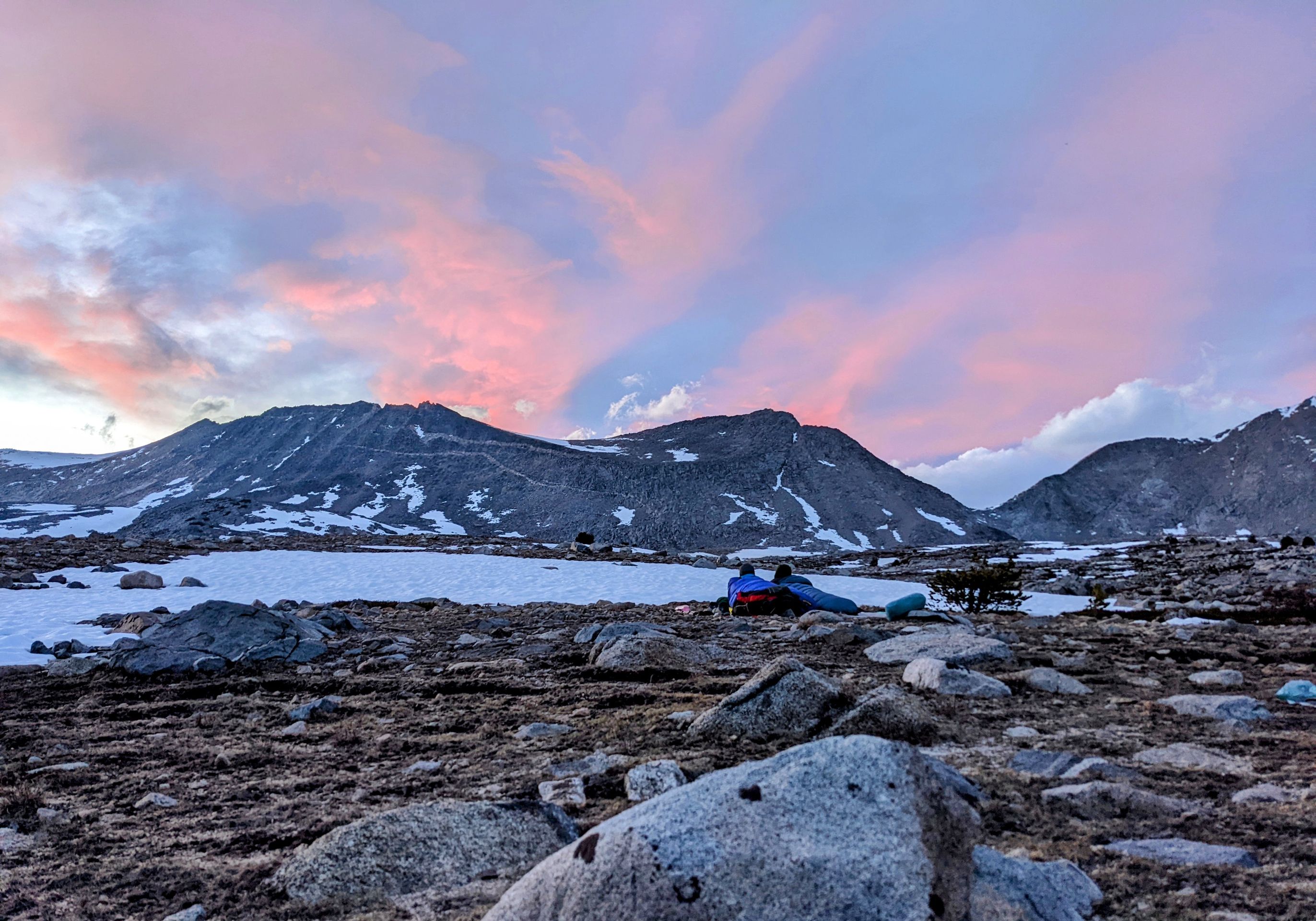
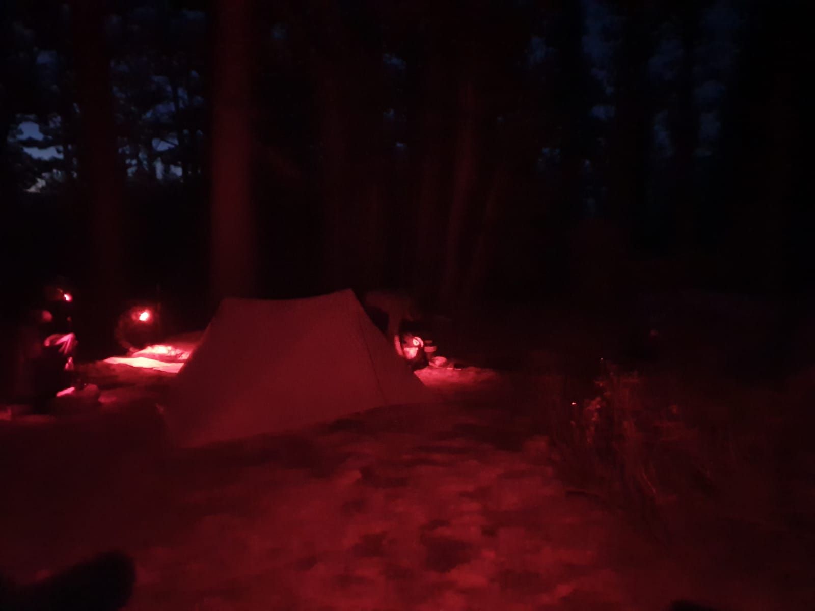
Back at camp, it's windy again, and we have to be careful not to lose anything. Tonight, I eat my first "ramen bomb". You cook a portion of ramen and add instant mashed potato powder until it becomes creamy. I also add bacon and cheese. The result is surprisingly delicious, and it will probably be on the menu more often. After dinner, we quickly retreat to our sleeping bags because of the wind. Unfortunately, my new sleeping pad already has another hole. Maybe a stone got trapped underneath that caused the hole. I hope I can find and repair it tomorrow. Tonight, I will have to blow it up several times again.
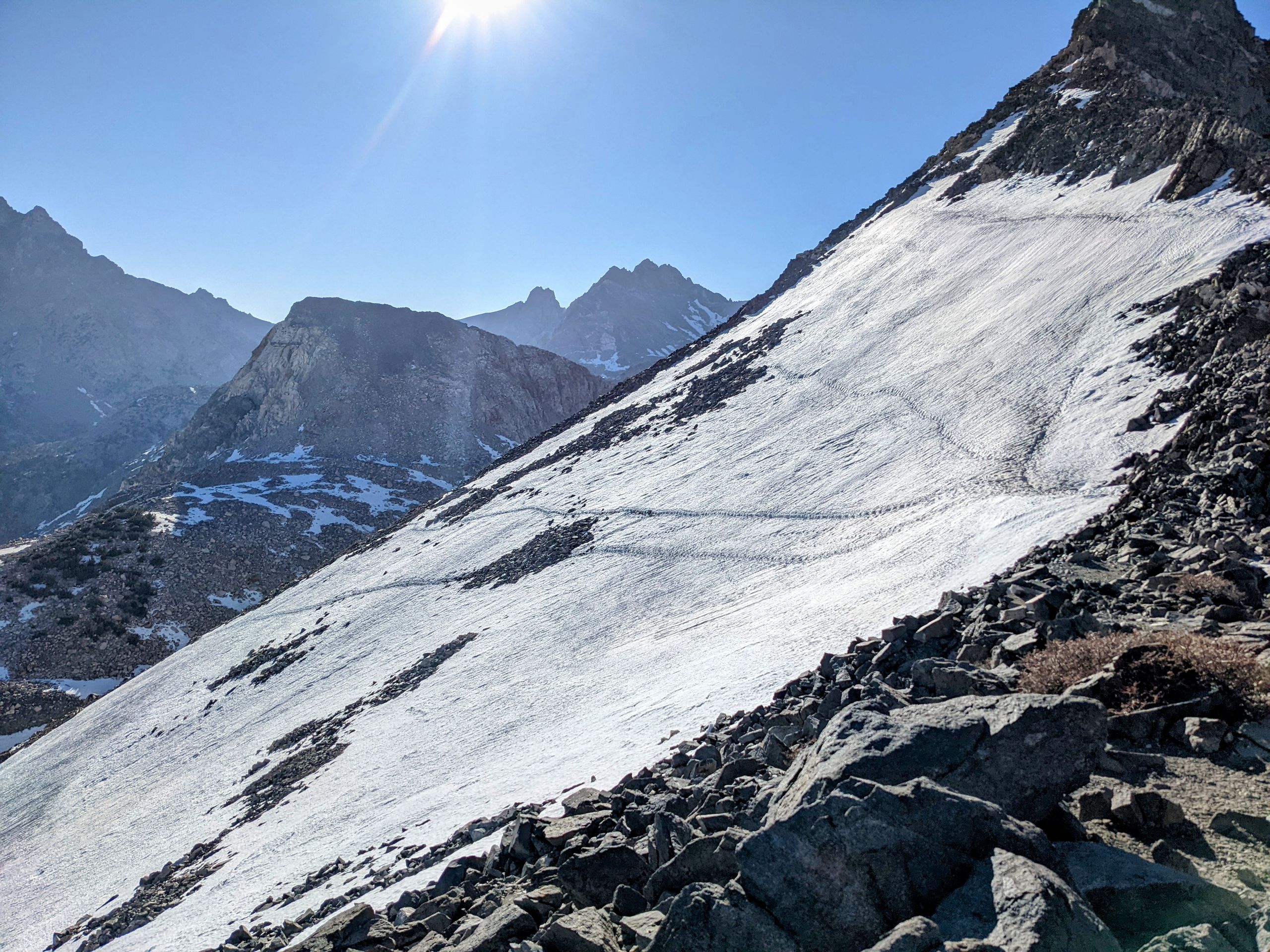
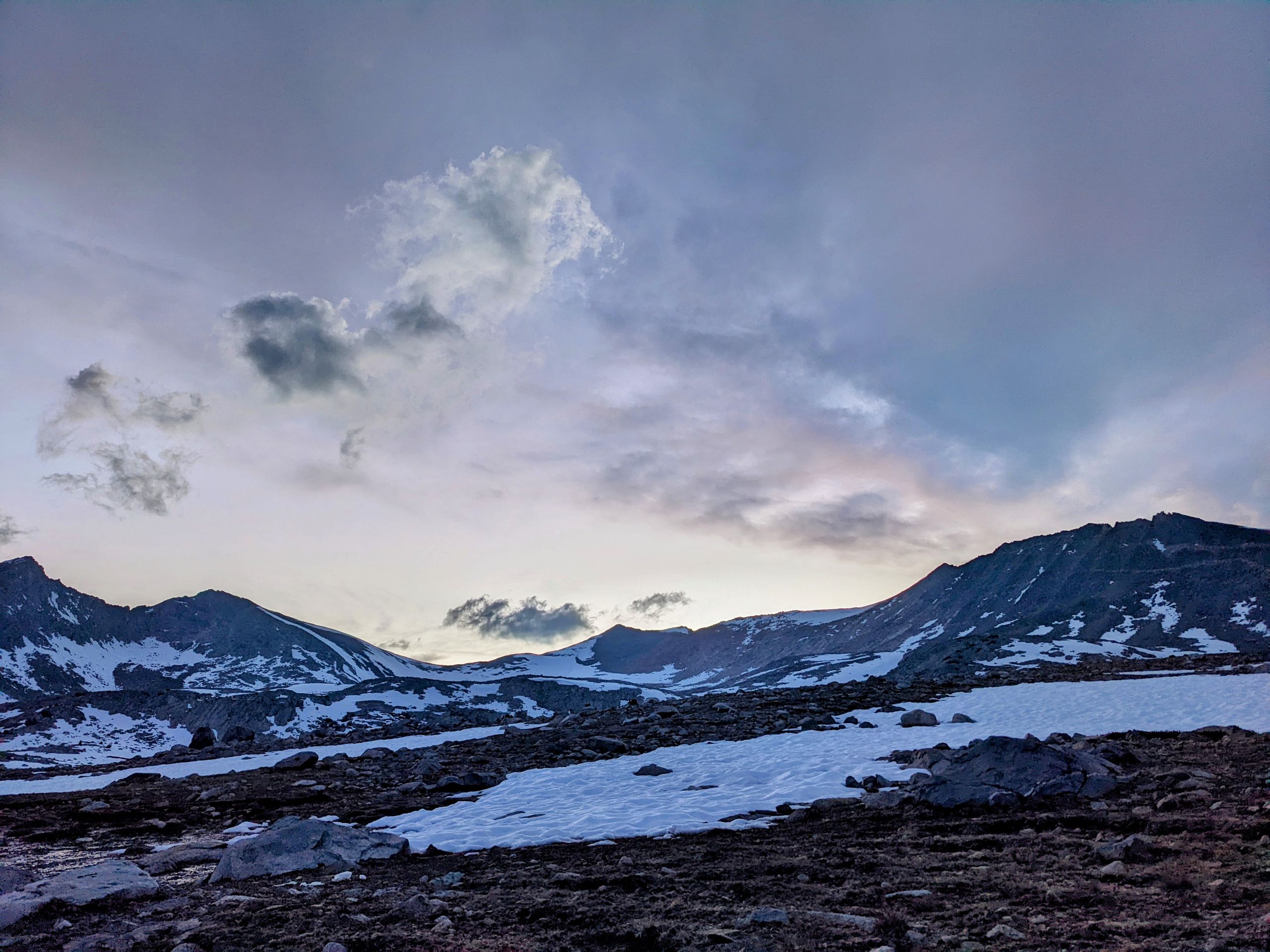
Day 51: Like last night, my sleeping bag and gear are covered in frost and ice when I wake up. Camping cowboy style has its advantages and disadvantages. We start our ascent to Mather Pass. With microspikes, we hike up. The ascent is not without danger, as a fall would be steep, but it is not difficult, and we reach the pass in about an hour. The atmosphere on top of the pass and among the other hikers is cheerful because we think we have overcome the worst. At that point, we didn't know that the descent would demand its toll.
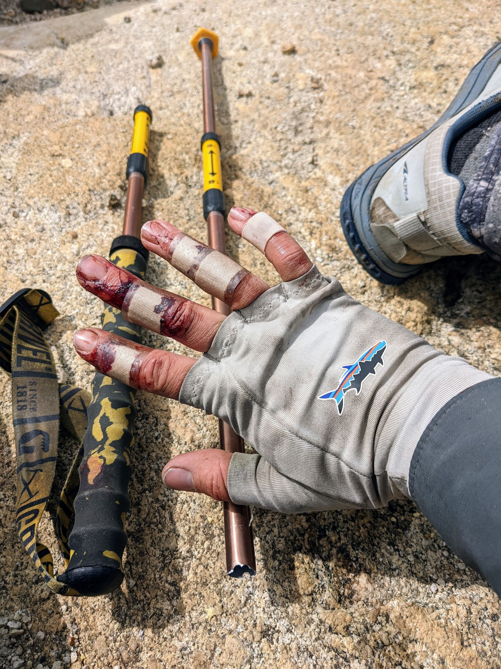
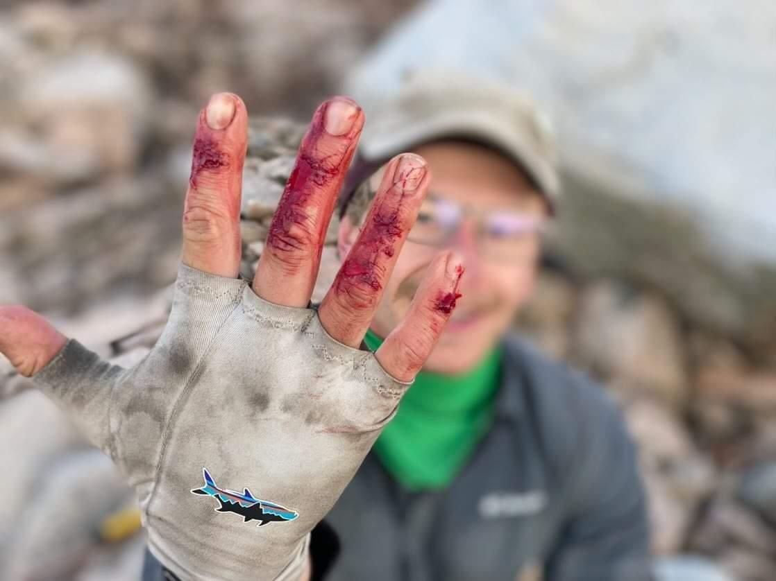
We start the descent after a short break and some snacks. Since the terrain is initially rocky, I take off my microspikes. I don't put them on for the first snowfield either because there are clear footprints and the snow is hard and grippy. But then I come to a spot where there is an old glissade track. Since there are no rocks visible and the track ends smoothly, I decide to use it. As I sit down in the track on a small stone and reach for my microspikes to put them on and have better brakes, I slide off with one leg and suddenly and unexpectedly rush down the slope. When I come to a stop, my water bottles fall out of my backpack and roll a bit until they are stopped by some rocks. Since I couldn't brake properly, I was much faster than expected. I notice blood on my right hand. I have grazed the top layer of skin on the back of my fingers. It looks nasty and bleeds, but surprisingly, it doesn't hurt. What hurts is that one of my trekking poles broke, and the other one is bent. I put on my microspikes, retrieve my bottles, bend one pole so that I can still use it, and collect the pieces of the other one. Then we continue for a while.
The others took a slightly different path and are shocked when they see my hand. I assure them that everything is fine, and we continue. Shortly afterward, we come to a steep slope with only weak tracks in the snow. When Hasbeen tries to cross it without spikes, he slips but manages to stop after a few meters. By that time, I'm already on the other side and a bit further ahead when I hear Gumby calling. He is in the middle of the slope and can't move forward or backward. He also doesn't have spikes. Sorry is closest and wants to go back to help him. I briefly turn forward, hear a scream, and when I turn back, I can only see Gumby's backpack from my position, which quickly slides down the mountain. Shocked and fearing the worst, I run back as fast as I can. That's when I see Gumby on the other side of the slope, sitting lower and visibly shocked. He somehow managed to stop and move to the side. The shock is evident. The situation could have ended very differently, and Gumby later admits that he was convinced it was over. After this shock, we finish the first descent to the last of the Palisade Lakes and have lunch. With Ninja's help, I also treat my hand with antiseptic ointment and bandages. It still doesn't hurt, but it's annoying that I can't move it properly anymore, and Ninja has to tape some joints. This will keep me busy for a few more days.
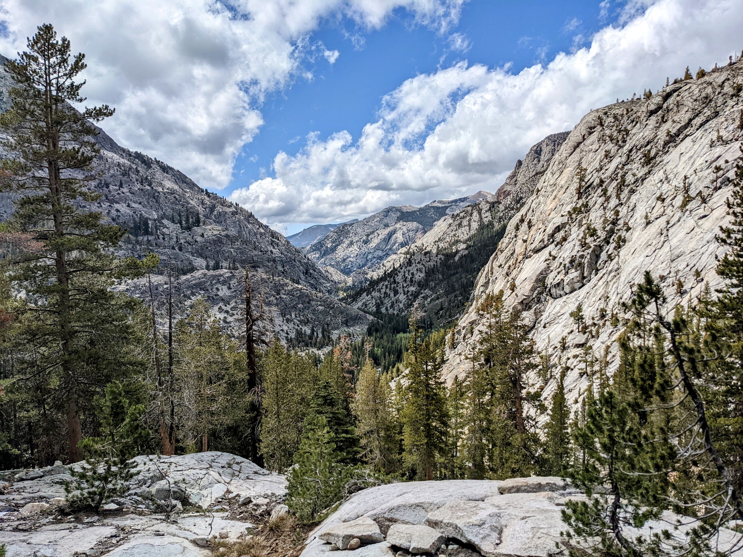
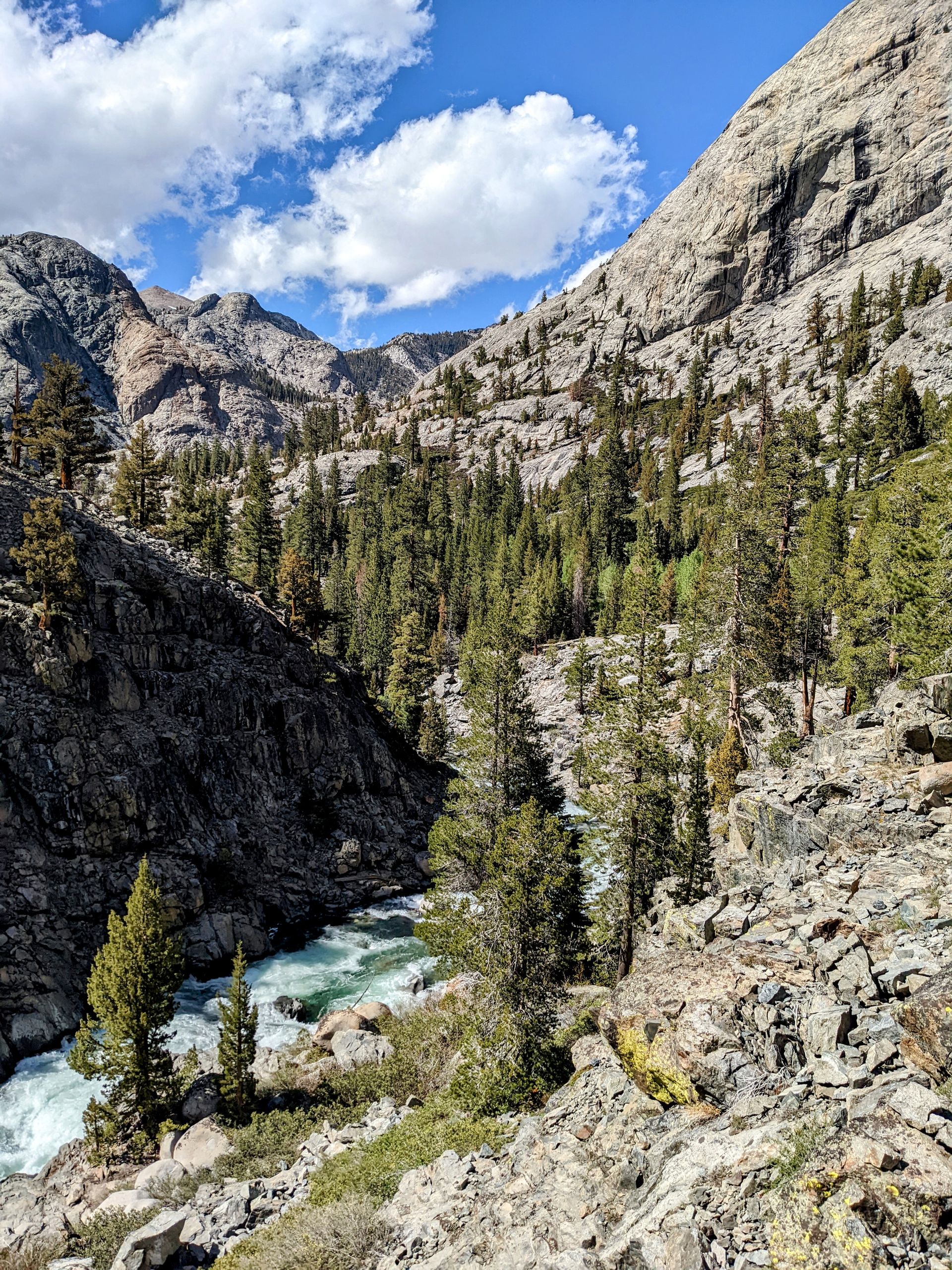
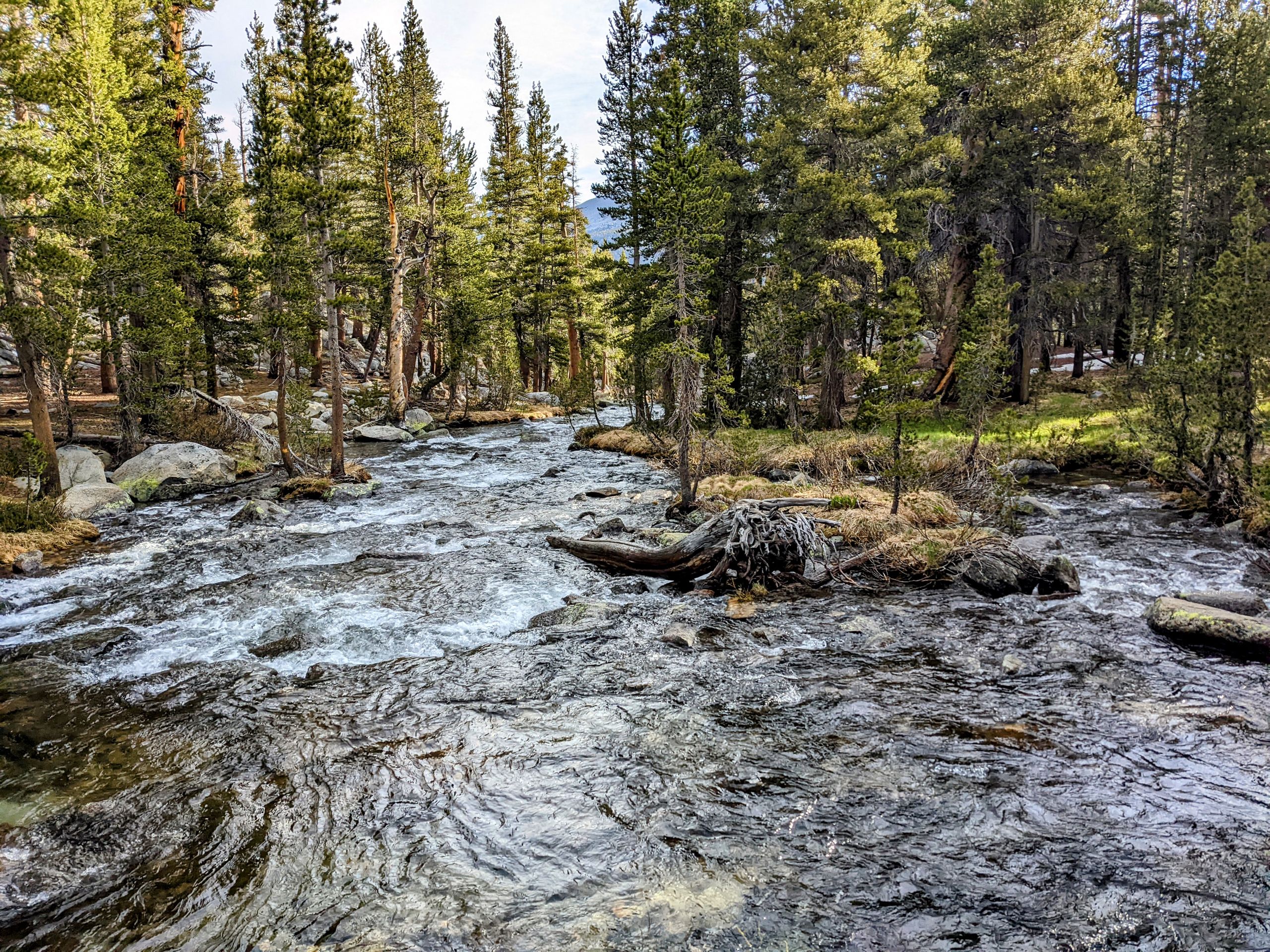
So, we made it to Mather Pass, but it's definitely not just fearmongering when people talk about it. The rest of the day is as beautiful as it has never been before on the trail. First, we descend in tight switchbacks into the narrow valley of Palisade Creek. We follow it, with tall mountains surrounding us. Occasionally, we have to cross small streams and rivers, but it's nothing too wild. A little rock hopping and balancing on logs. The pass is soon forgotten.
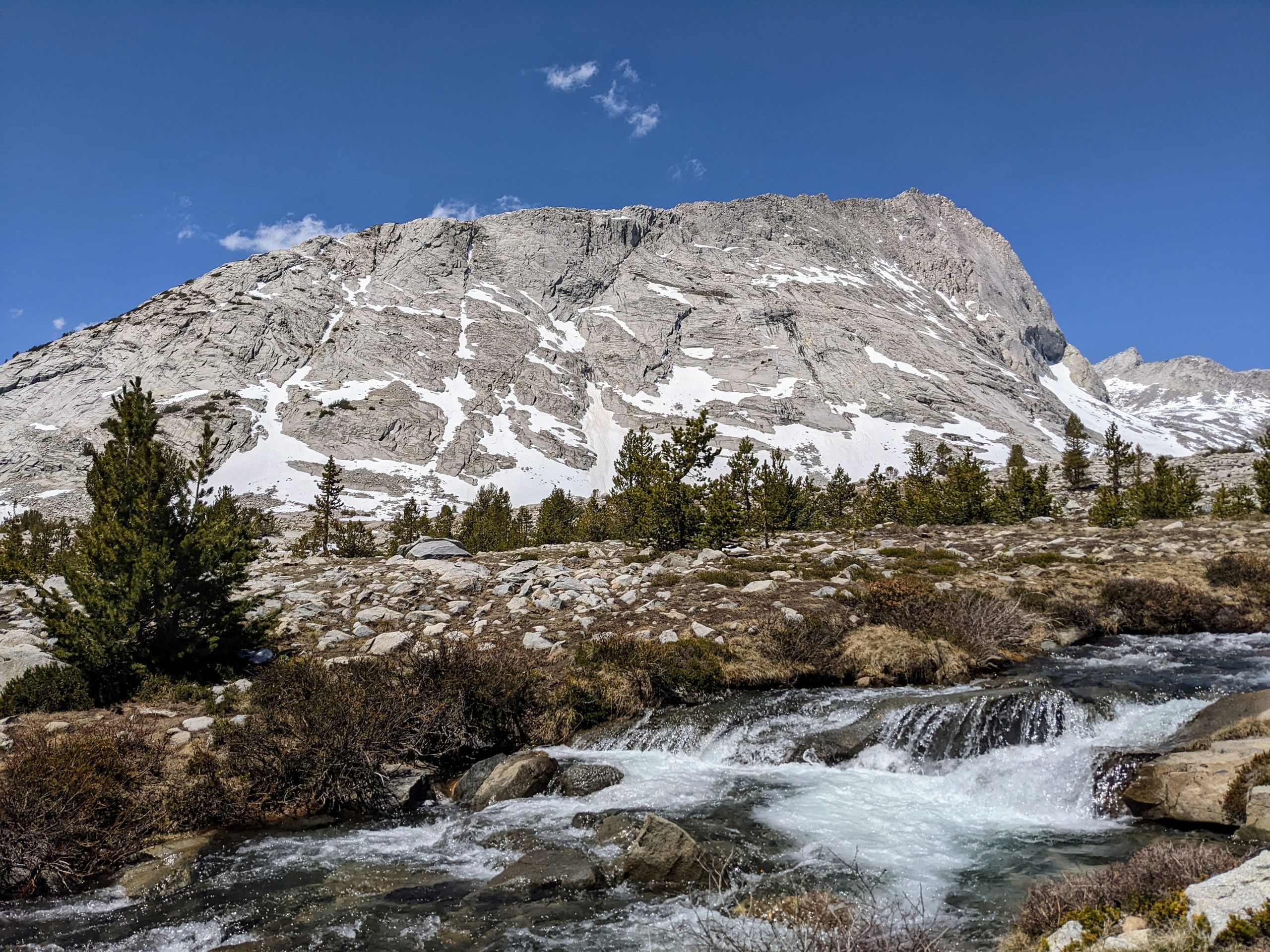
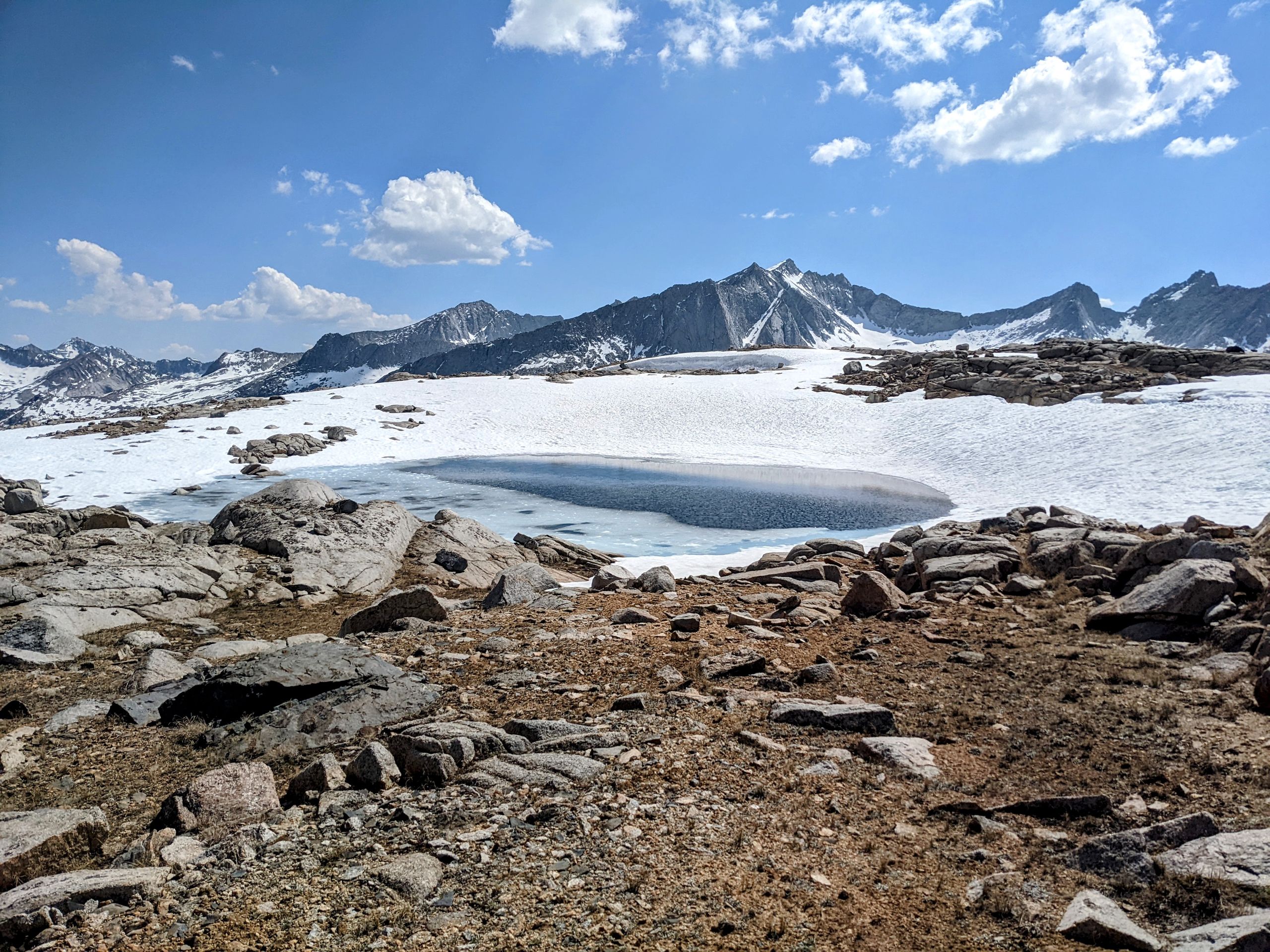
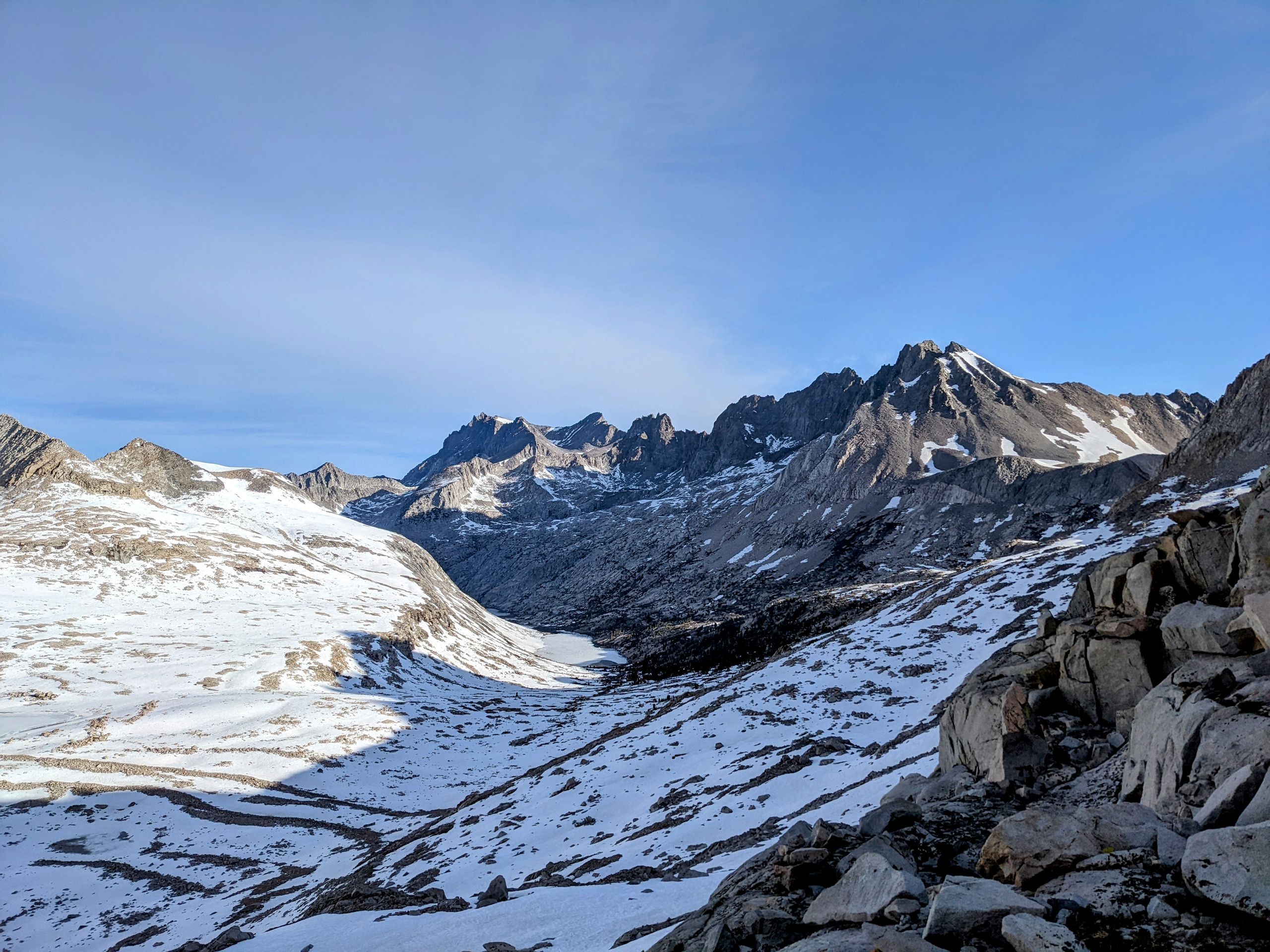
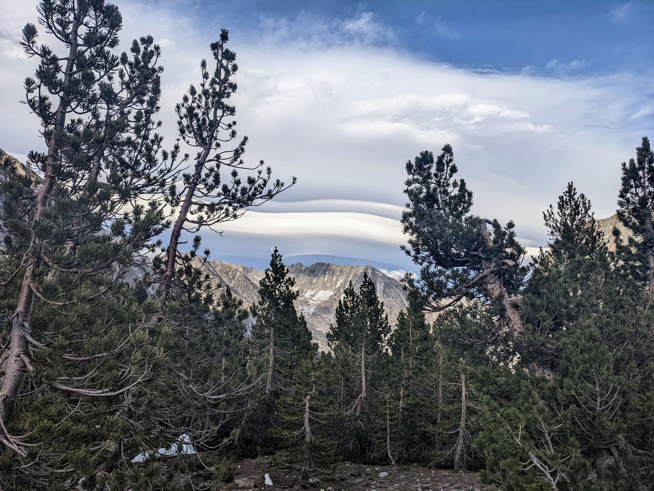
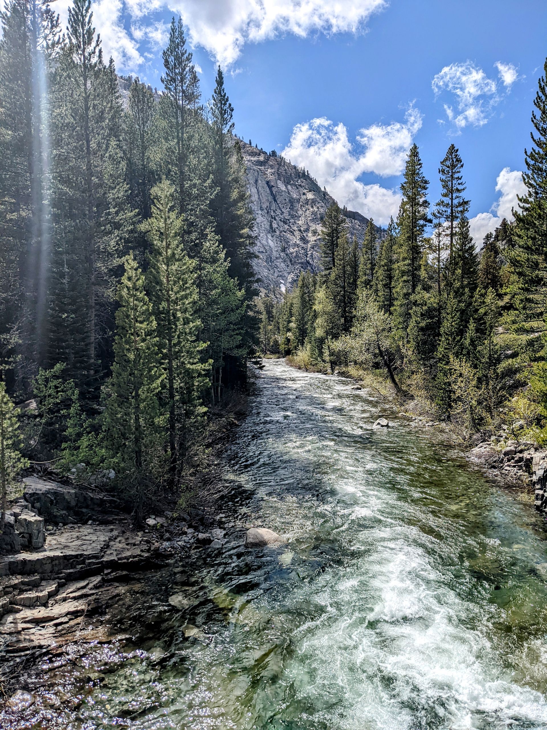
Later, we start the ascent along the Middle Fork Kings River, which will lead us to Muir Pass tomorrow morning. The landscape remains stunningly beautiful. After a river crossing two miles before our probable camp, Warrior and I stay behind to wait for Metrics while the others continue ahead. Metrics is an Englishman we met a while ago, and he has been hiking with us since our return to the trail from Bishop. It's nice to spend some time with Warrior again. After Metrics catches up, we join the others. The campsite is one of the most beautiful we've had so far. Soon it's time for dinner. I admire Gumby, who apparently has overcome the day's experiences and is in a great mood. Overall, it has been another great day on the trail. But I'm annoyed with myself for unnecessarily breaking my trekking poles. There was nothing wrong with the glissade, and I didn't put myself in any danger. It really was just bad luck. And since I received the poles as a gift from friends a few years ago, it pains me to part with them. It felt good to have them with me.
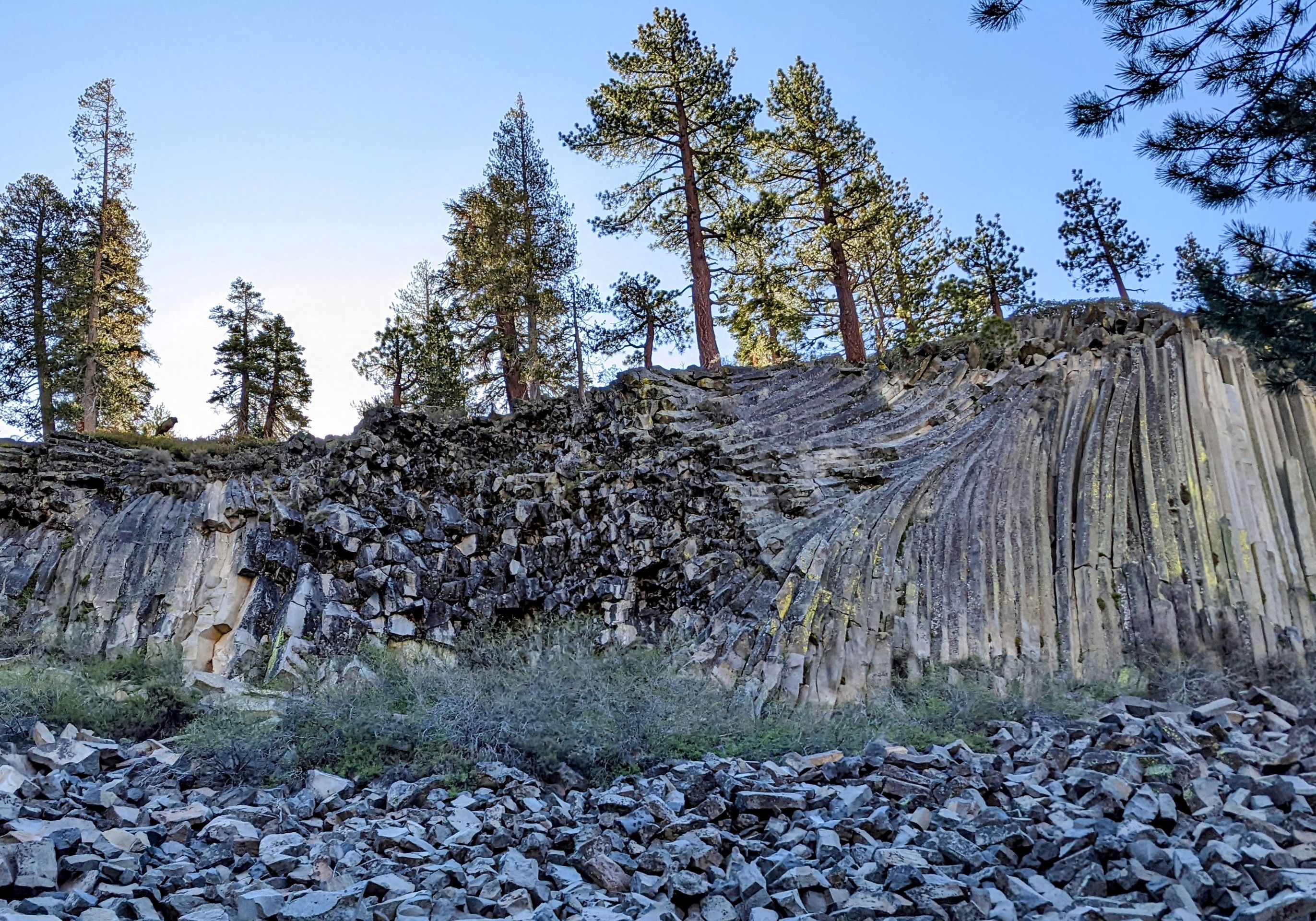
Day 52: This morning, like last night, it's not below freezing, which makes getting up much more pleasant. Shortly after starting, we take a detour that is just as long as the trail but leads us directly past the Devils Postpile. It is an impressive rock formation of hexagonal basalt columns. The whole wall looks artificially created, and some of the broken columns have a perfect shape.
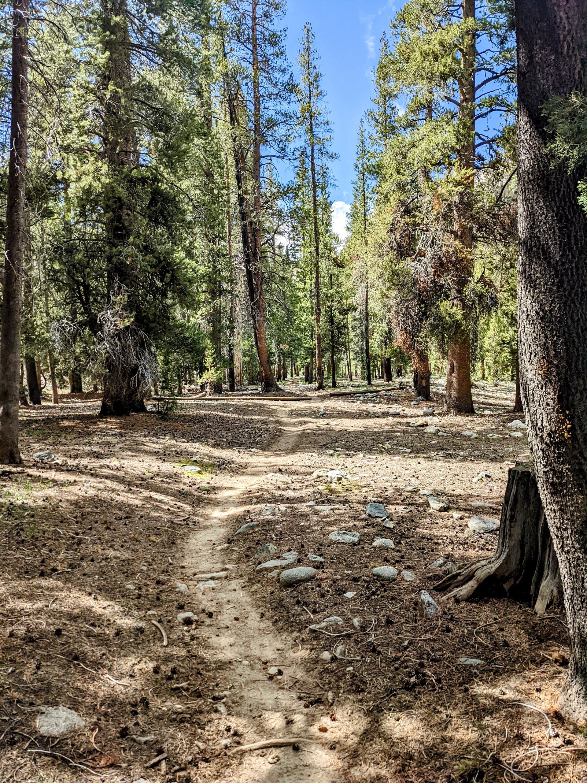
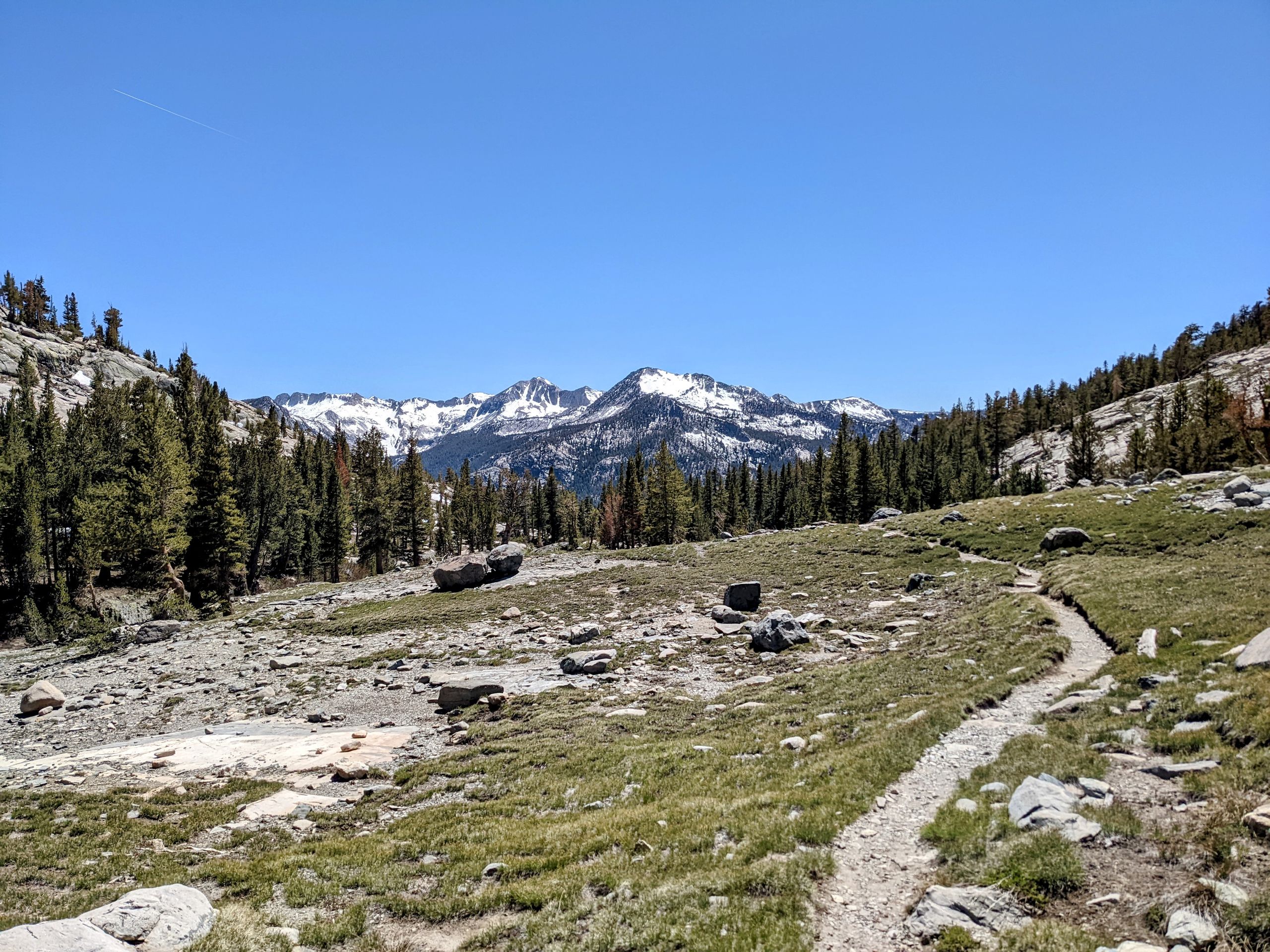
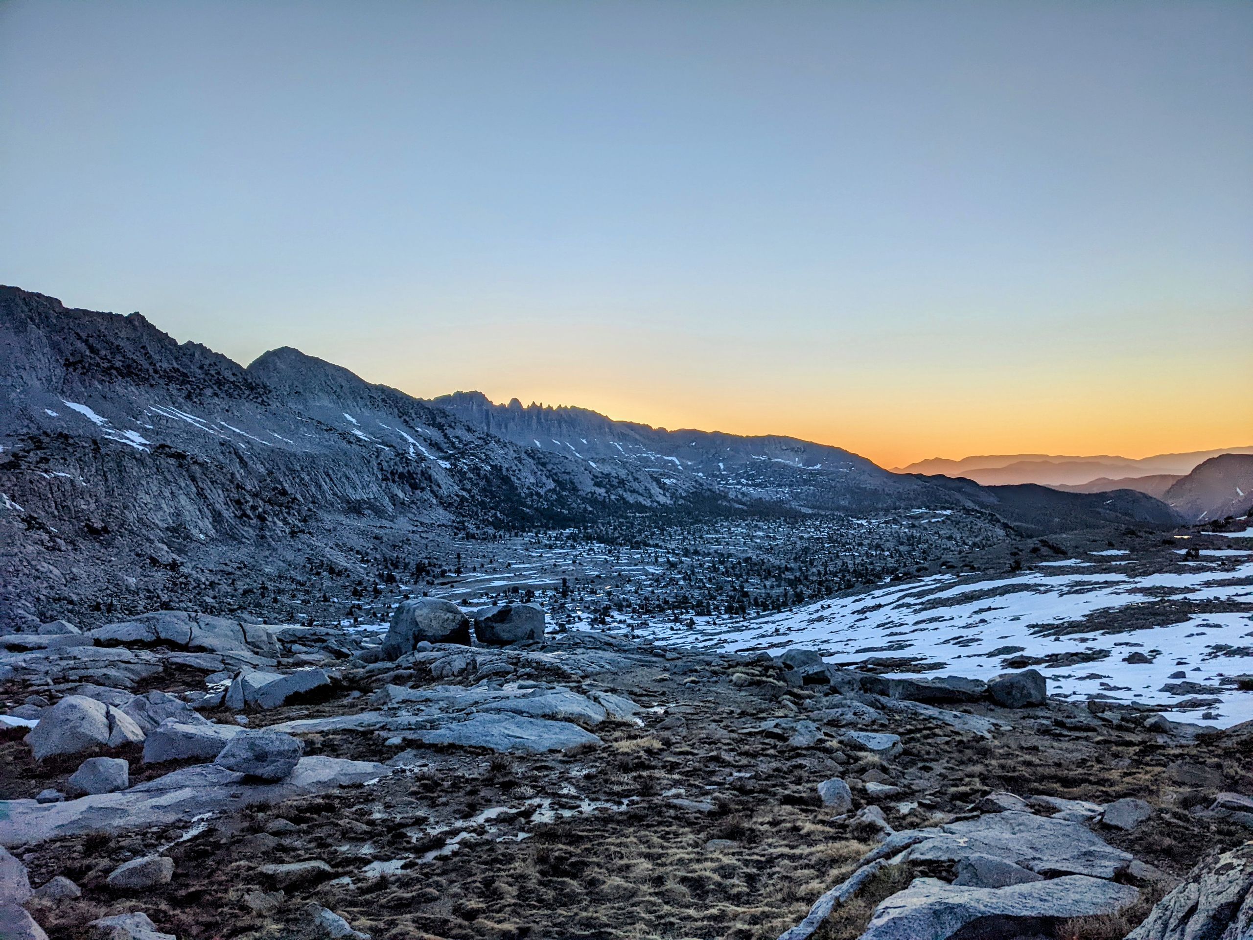
Afterward, we continue along mountain slopes. In the afternoon, we reach 1000 Island Lake. Although the name is a huge exaggeration, the lake is beautiful. Then we hike to Island Pass, which is not a proper pass. This section of the trail is extremely time-consuming because there is water everywhere. Sometimes, we have to choose between three streams, one of which is the trail. So, we have to rely on GPS. At some point earlier in the day, I strained my shin muscle, which is not helpful in this terrain. But eventually, we complete it and find dry tent sites 2.6 miles before Donohue Pass. There are already several other hikers camping here. We want to climb the pass for sunrise tomorrow, and then we'll head to Lee Vining. There we will have our next zero day, which we have definitely earned, as today was a long and challenging but also very beautiful day with 24.4 miles.
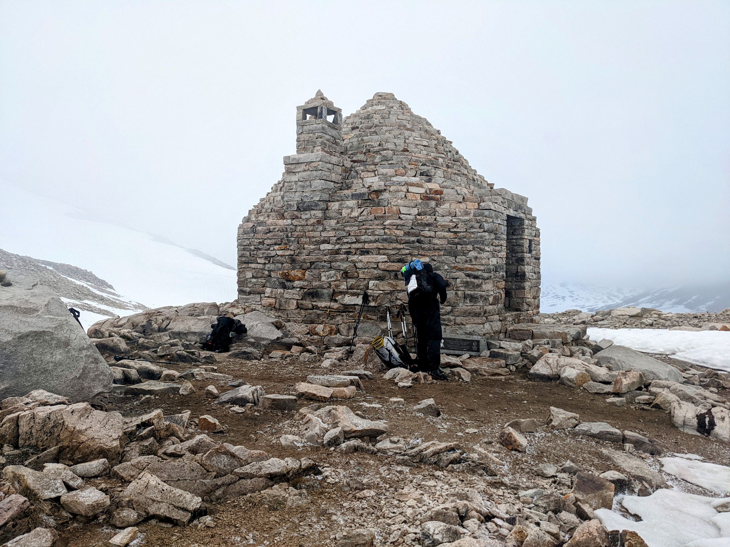
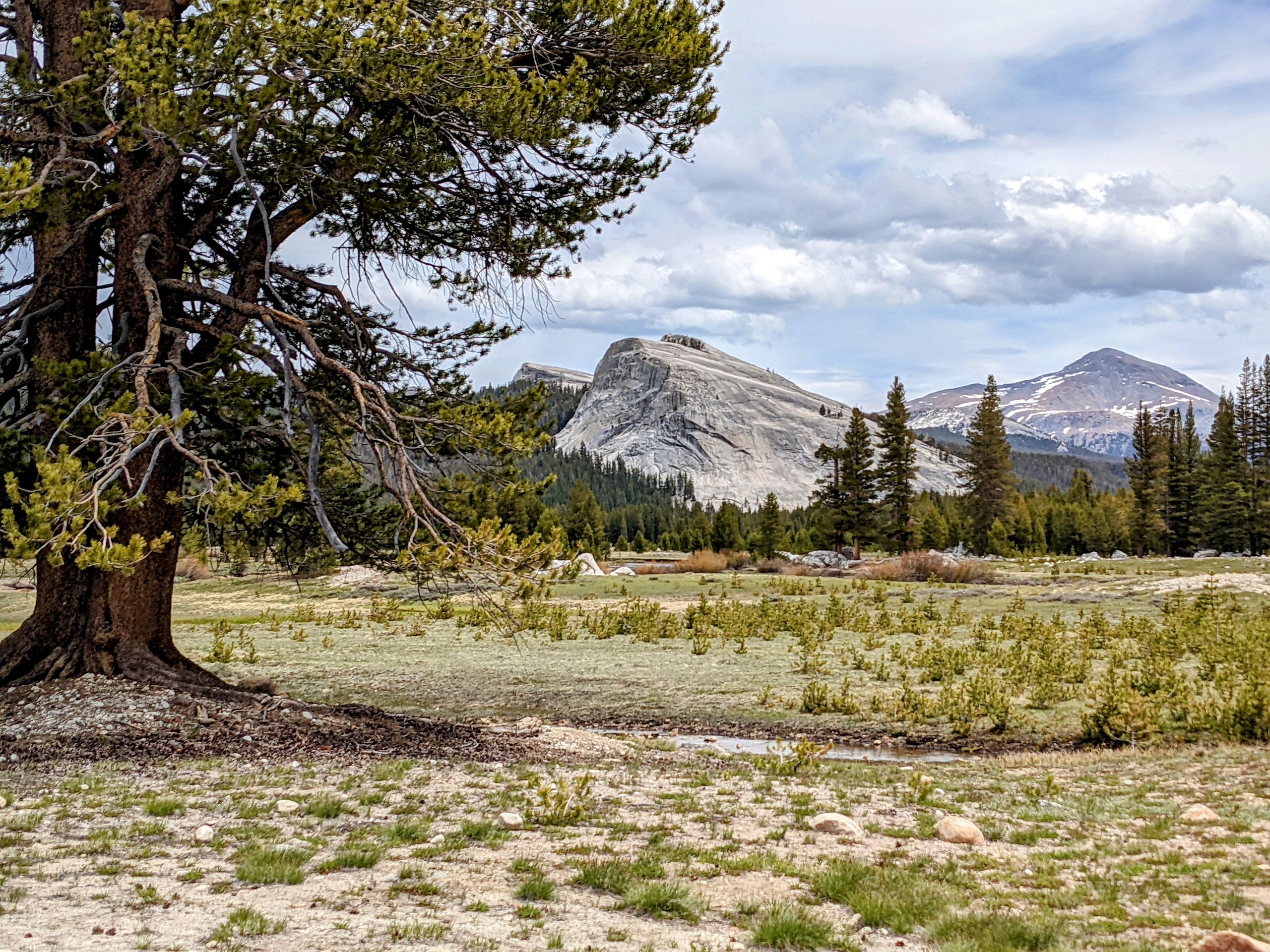
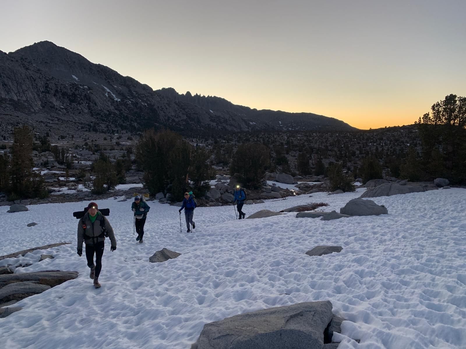
Day 53: As planned, Sorry, Butterfly, Ninja, Hasbeen, and I start at 4:45 am to be at Donohue Pass for sunrise. Gumby and Warrior prefer to sleep longer and will join us later. The ascent to the pass is not difficult, and we enjoy a beautiful sunrise there. And indeed, we enter Yosemite National Park over this pass.
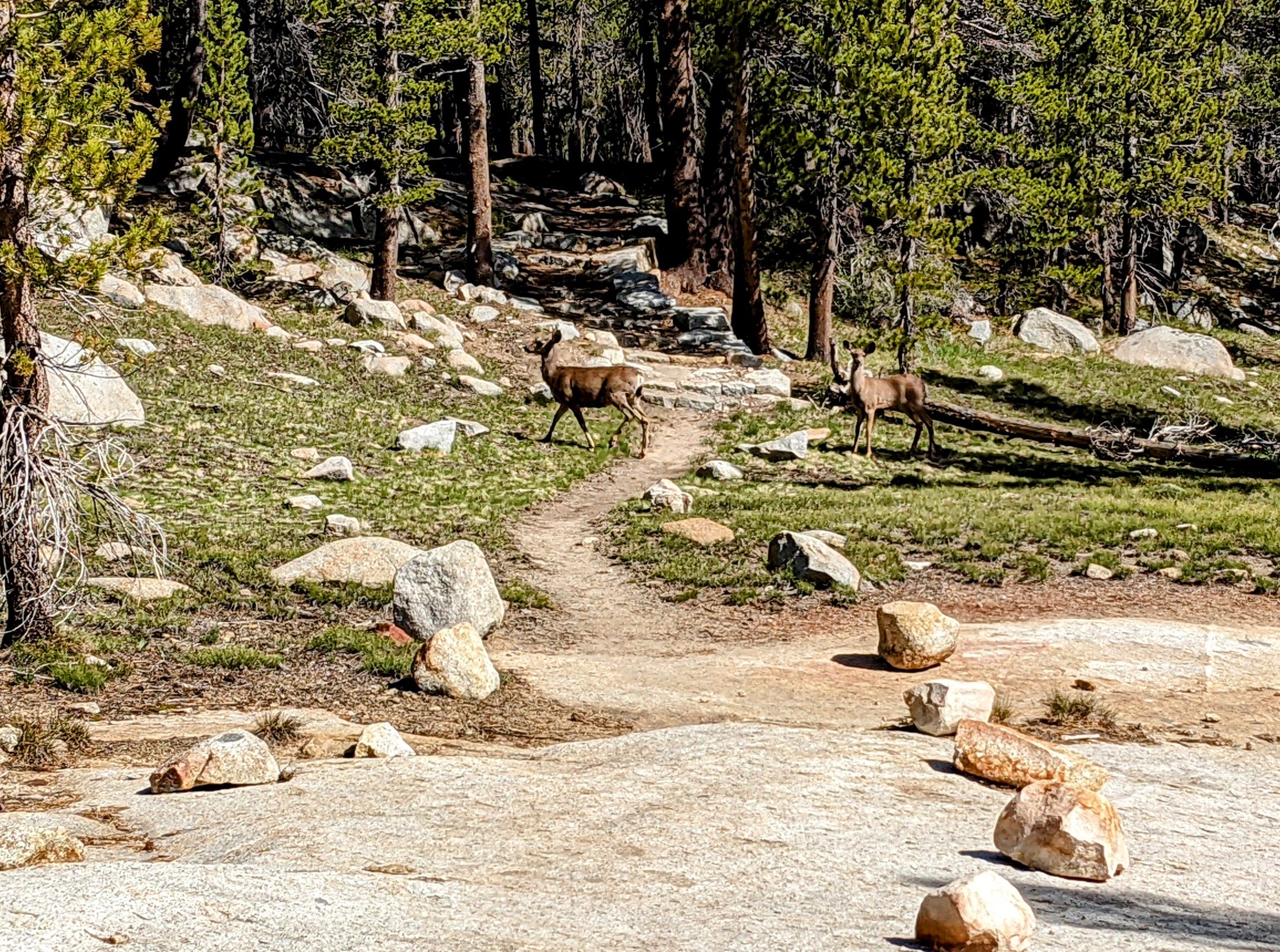
The descent is a bit more challenging, as we have to cross a few rivers and the rocks in them are icy. During one of these crossings, Butterfly falls but fortunately doesn't get hurt, even though it really shakes her up. After the short but quite steep descent, we hike about 11 miles through a long and wide valley. There are many deer in this area, and they are clearly used to people, as some of them come within five meters of me. Whenever I come around a bend and suddenly stand face to face with a deer again, I think to myself, "Fortunately, it's not a bear."
During this section, my left shin starts to hurt. It started yesterday but is a bit worse today. I hope that I can prevent proper shin splints with a zero day tomorrow. When we reach Highway 120, the first paved road on the trail since Kennedy Meadows, a surprise awaits us. The highway is under construction, making hitchhiking much more difficult. Cars can only pass in one direction at a time, so we walk about two miles to the spot where cars are allowed to stop on our side and approach the waiting cars. Butterfly and I stay at one spot while the others continue walking. Soon after, a man comes to us and asks if we need a ride; he can take two people. He didn't see us when we walked past. Gratefully, we accept Scott's offer. In Lee Vining, we go to the Woah Nellie Deli, a gas station with a supermarket and good food. Shortly after us, Ninja and Sorry arrive as well. Funny enough, Hasbeen, Gumby, and Warrior arrive at the same time, even though the latter started much later than we did. But that's how hitchhiking works sometimes; it can take forever, but it can also be quick to get a ride. The food is really good. I have a cheeseburger, a piece of chocolate cake, and a piece of cheesecake. Butterfly orders the same, but the cake makes her feel sick from eating too much. So, I eat her leftovers and a bit more from the others. We can soon check into our accommodation, a small lodge with enough beds. There, we relax, pick up dinner from a nearby café later, and do not much else. I can't believe how much I ate today; normally, I wouldn't even come close to eating this much. But that's the so-called "hiker hunger" for you.
Day 58: Today was the most relaxed zero day we have had so far. Since Lee Vining is not very big, we didn't have to walk around as much as usual. For breakfast, we went to the Latte Da Café, where I had the best sandwich of my life. Afterward, we did laundry at the local campground and then had lunch. I took care of my other gear, especially my sleeping pad, which hopefully is finally repaired. I also took a lot of time for my shin. Originally, we wanted to reach Kennedy Meadows North in four days. However, since I'm not sure if I'll be able to do that with my shin, I bought supplies for six days just to be safe. I should be able to catch up with the others either earlier or later if necessary.
Throughout the day, we drank a lot of beer again, and it was a great day. One thing that occupied us and kept us busy today is the news that a woman apparently died on Forester Pass a few days ago. We don't know the details, but she had been suffering from altitude sickness for several days. It's another reminder that we have to stay vigilant out here and not take unnecessary risks. The trail itself is generally safe, but accidents and misfortune can happen faster than you think.
訂閱時事通訊
回答
旅遊報告美國