Wandering in Mt. Aspiring and Fiordland National Park
Chop etilgan: 11.03.2023


Axborot byulleteniga obuna bo'ling
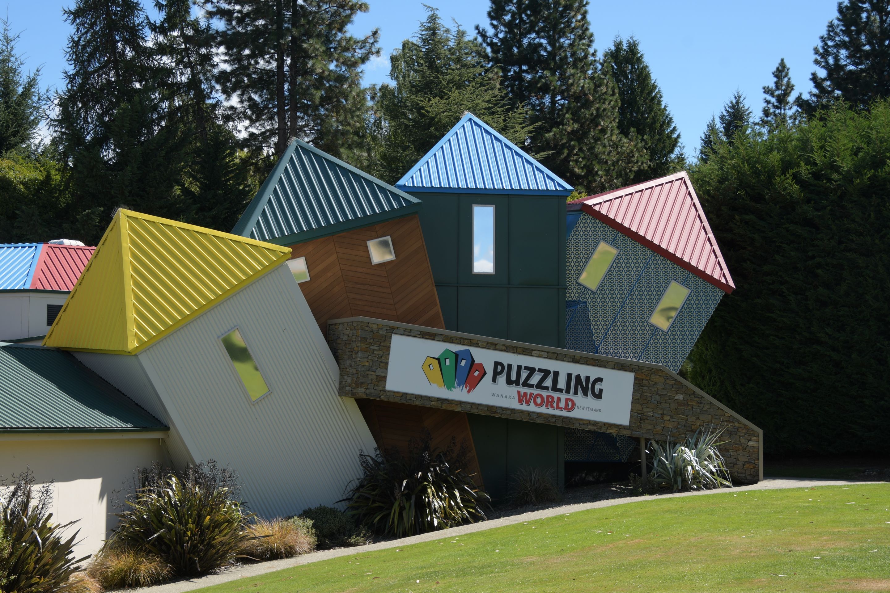
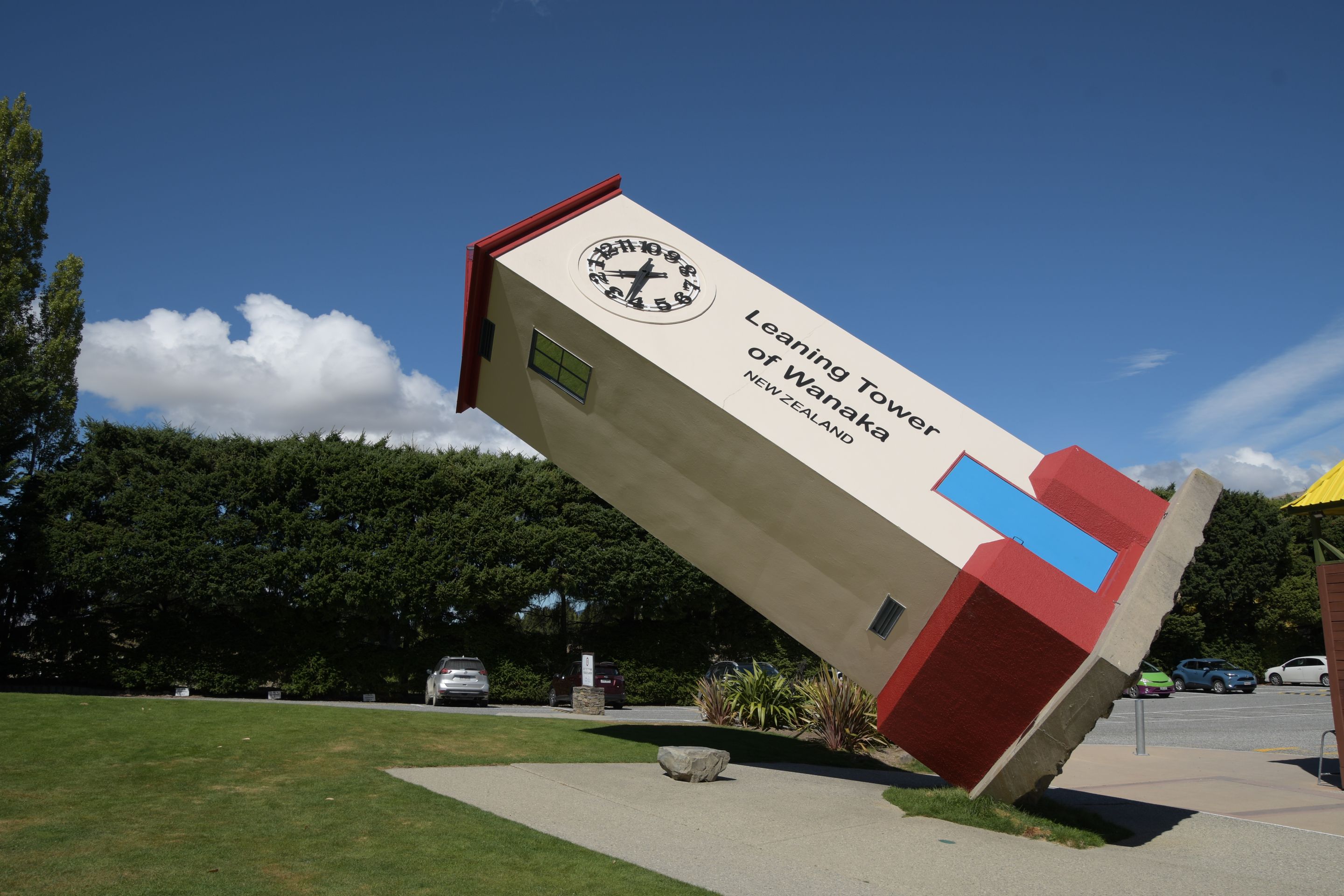
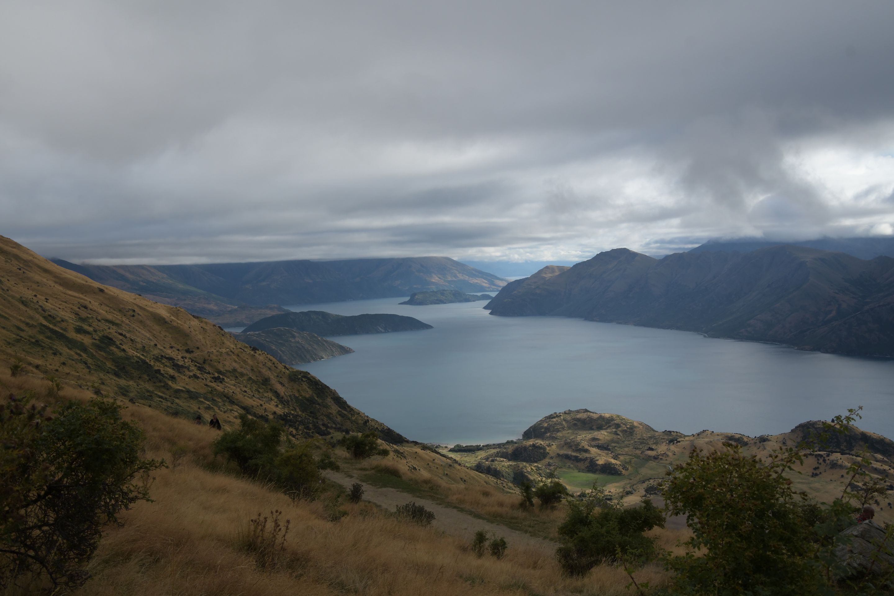
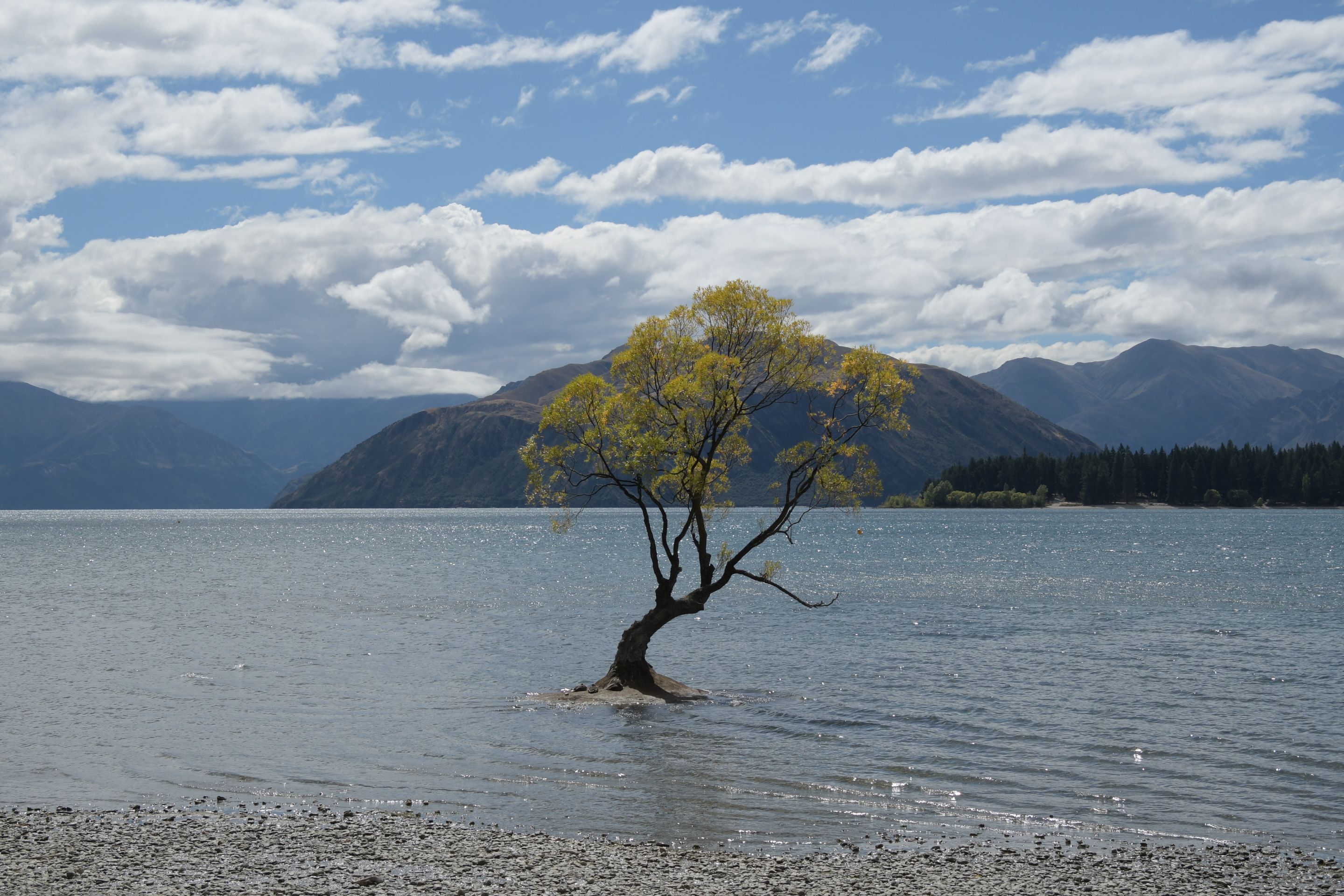
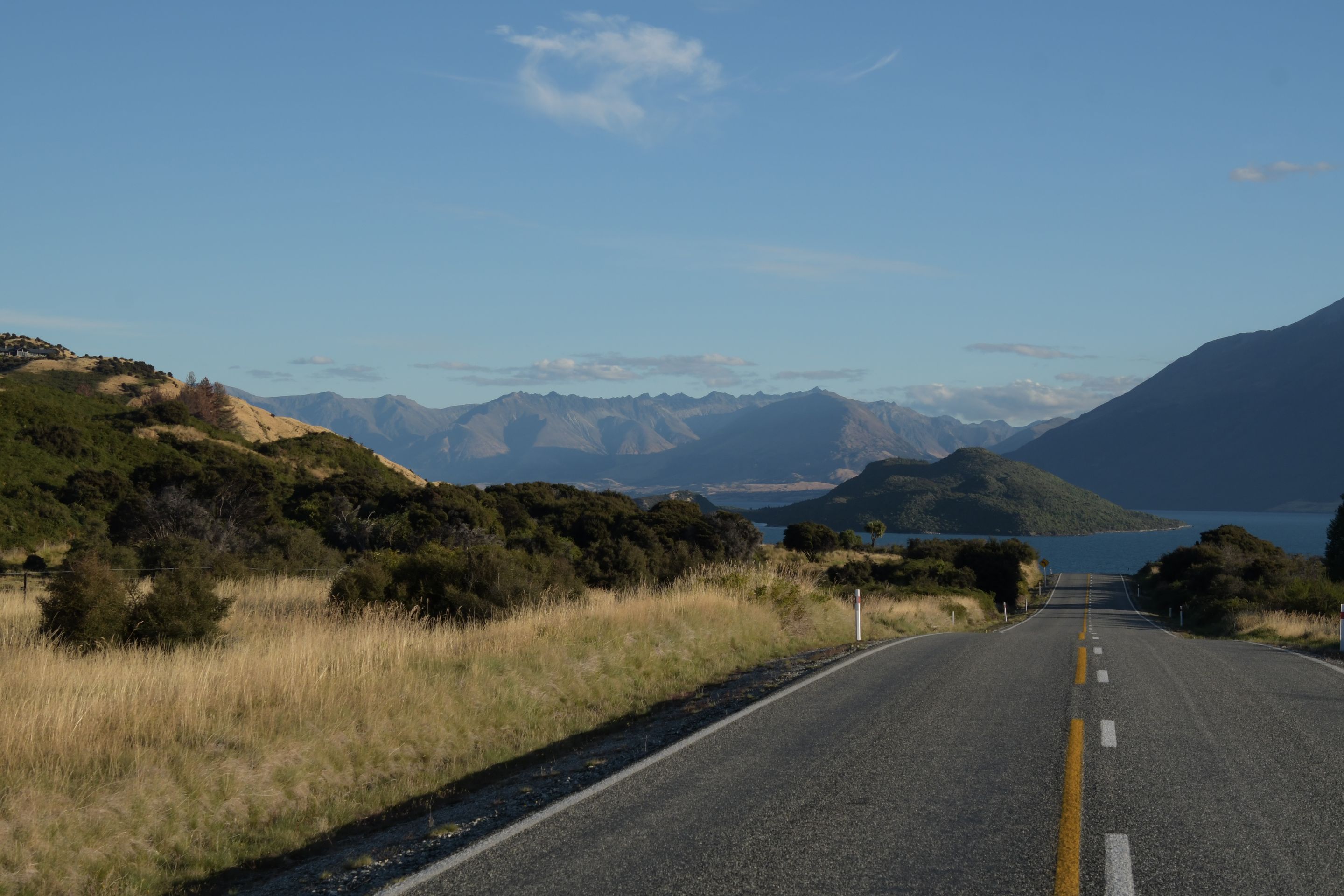
The West Coast bid us farewell with typical West Coast weather (also known as rain). However, as soon as we crossed the pass and arrived 'in the east', the weather improved significantly with sunshine. Our route led along Lake Wanaka and Lake Hawea to Wanaka. There, we visited the well-known 'Great Maze' on the go, where we enjoyed various optical illusions and entered the associated large maze. However, we quickly abandoned the wandering and continued to our accommodation.
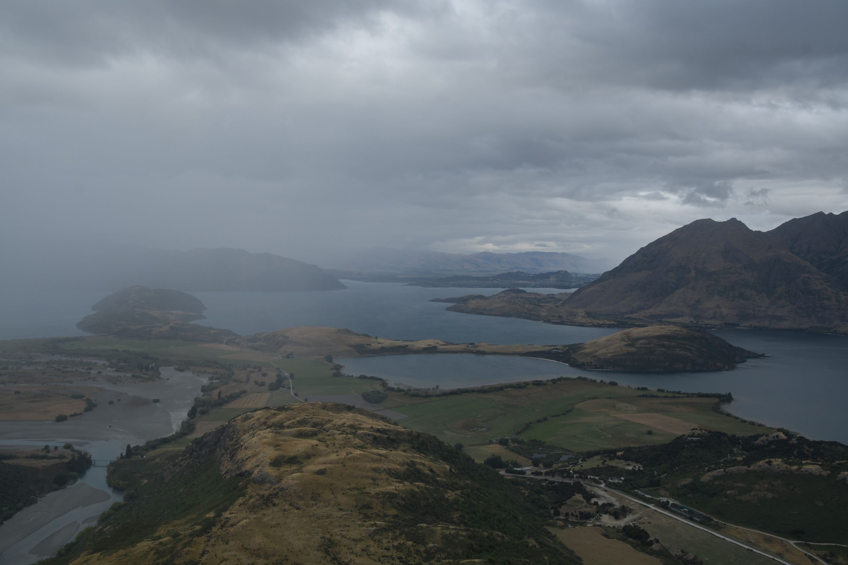
In the evening, we took a short walk to Mount Iron, which protrudes 250m above the surroundings (and vaguely resembles an iron...).
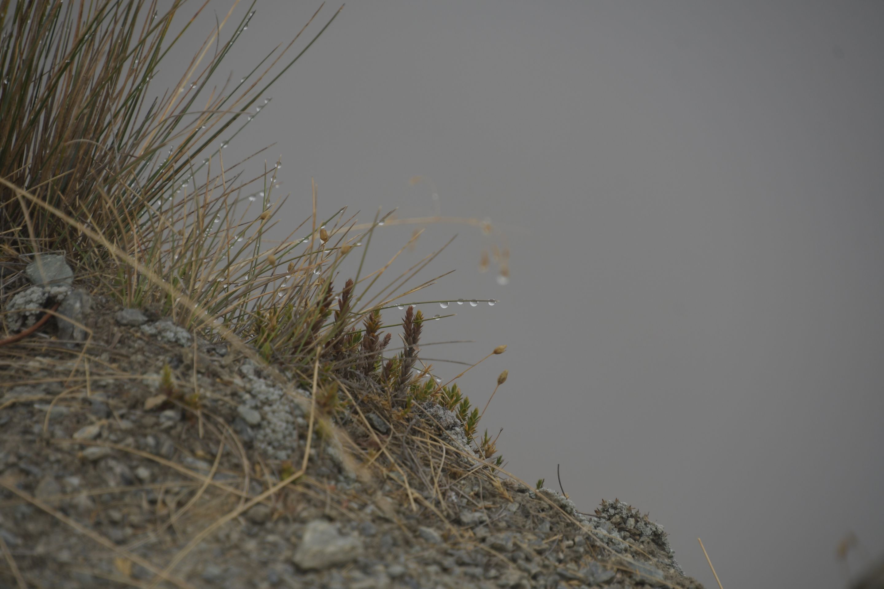
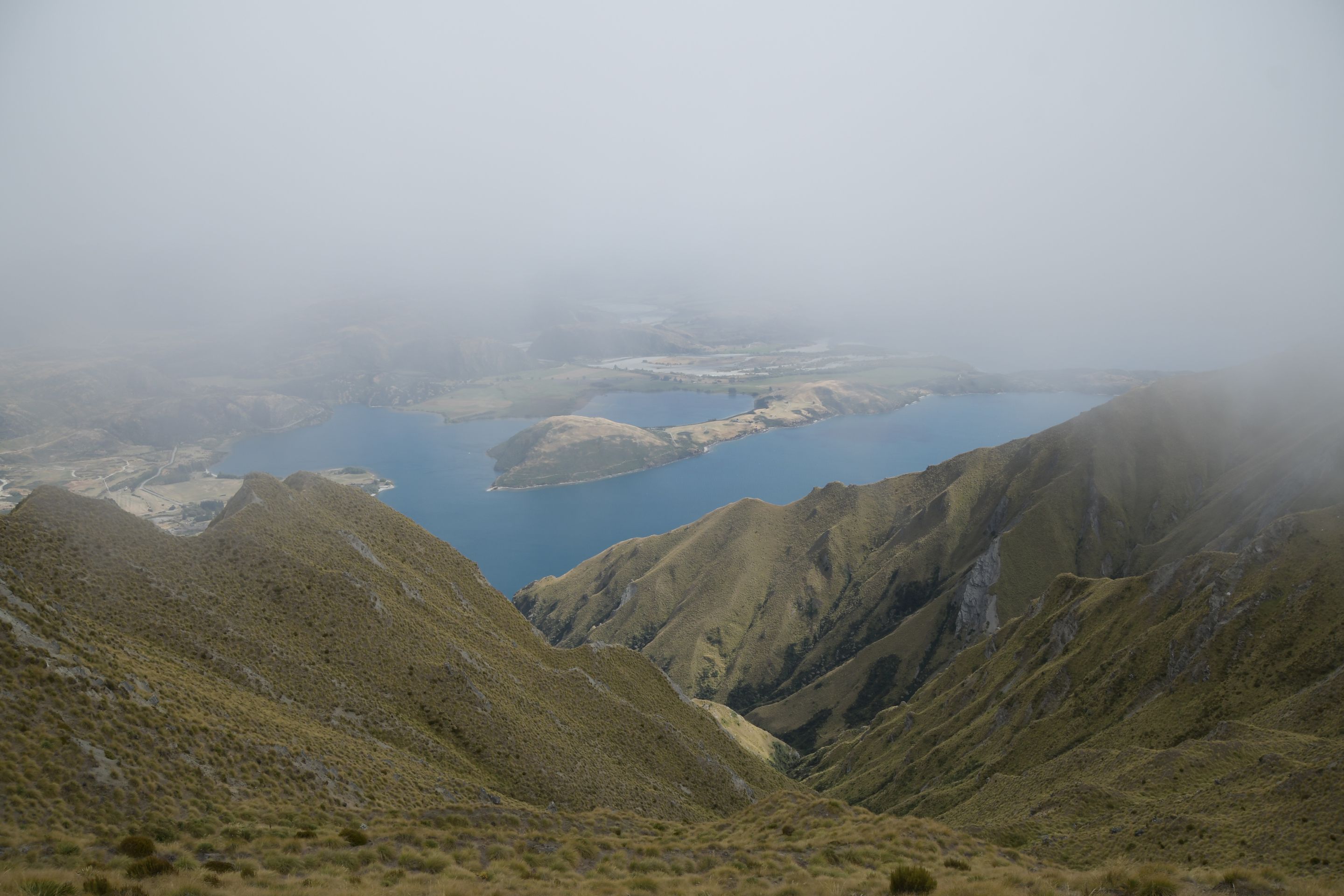
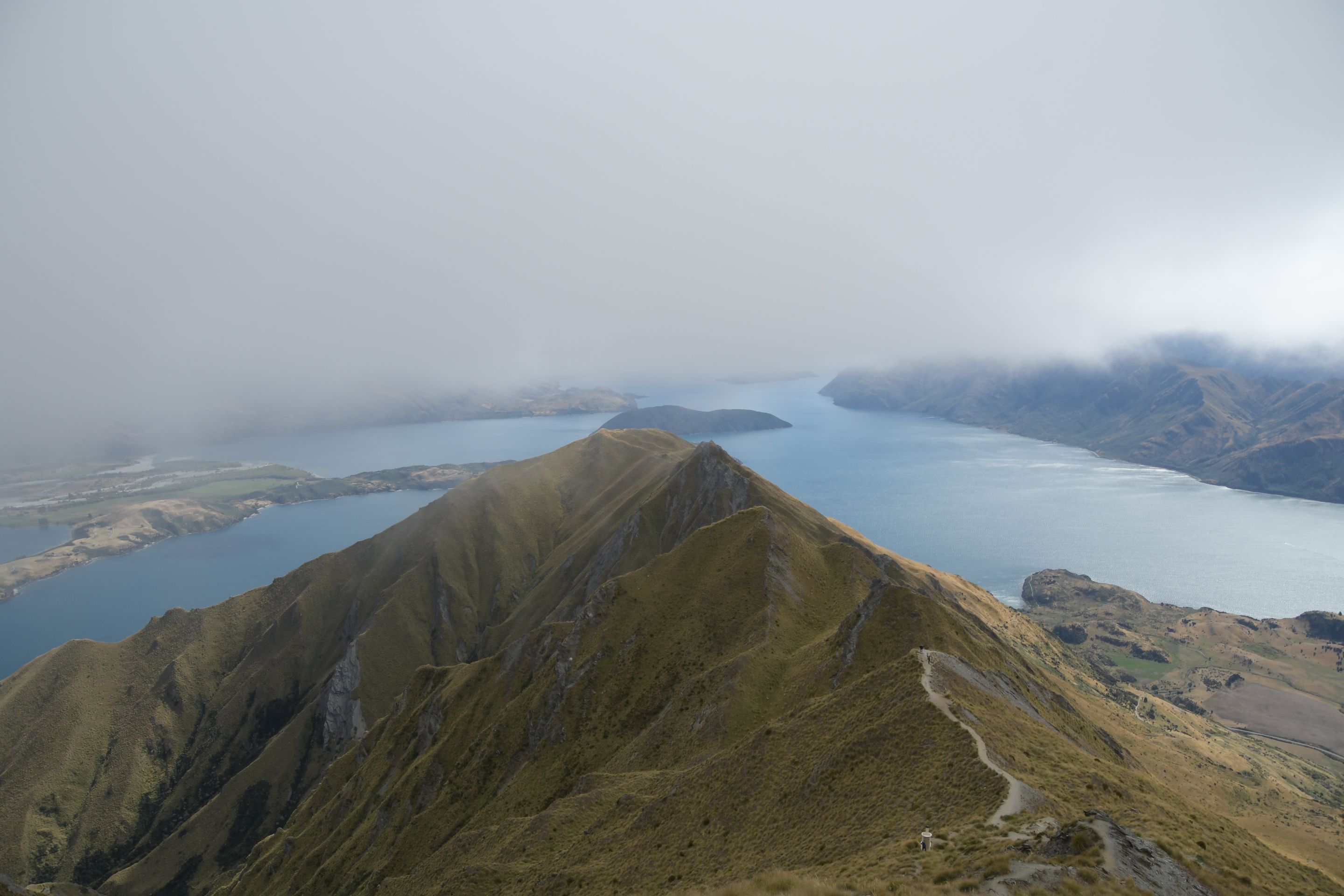
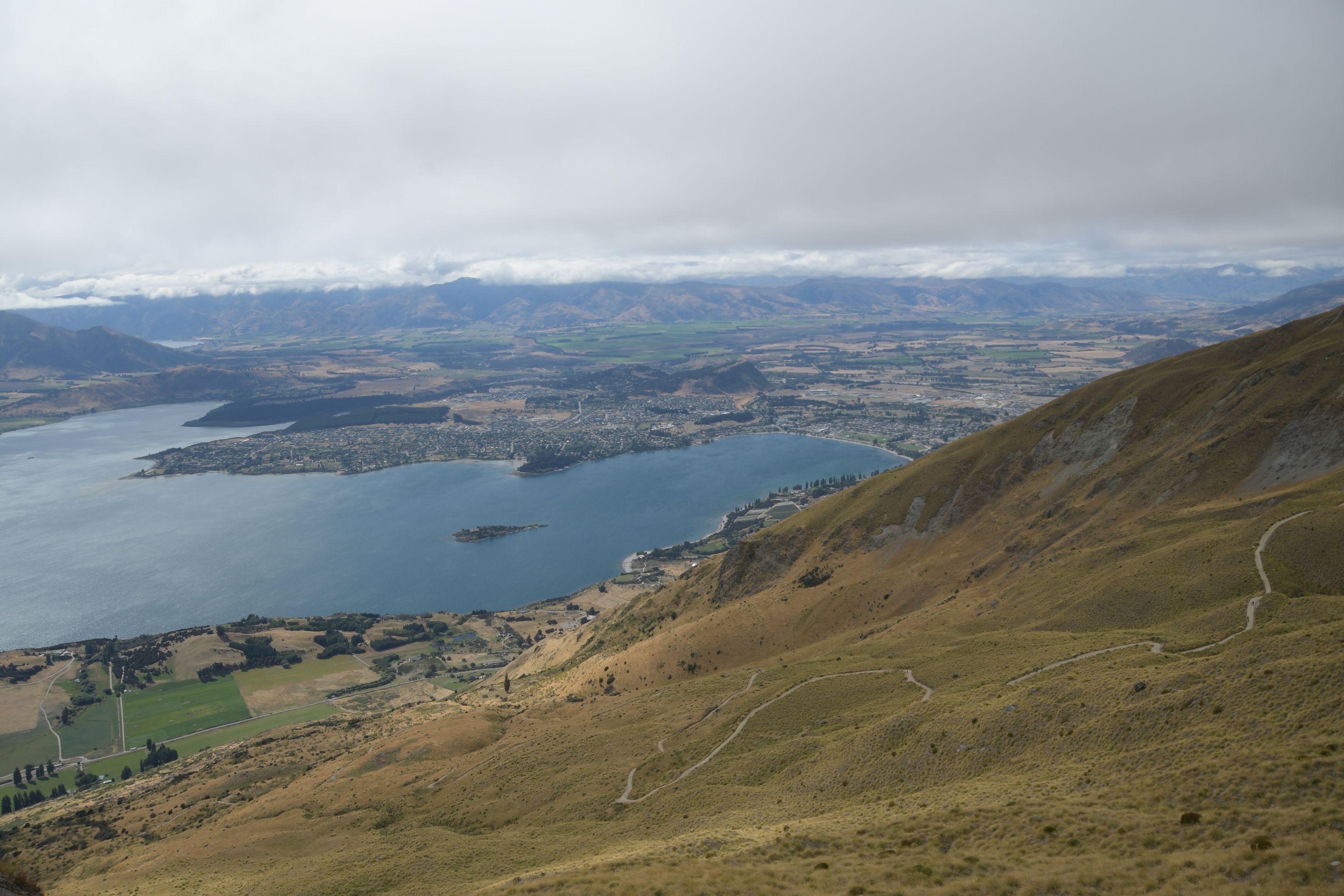
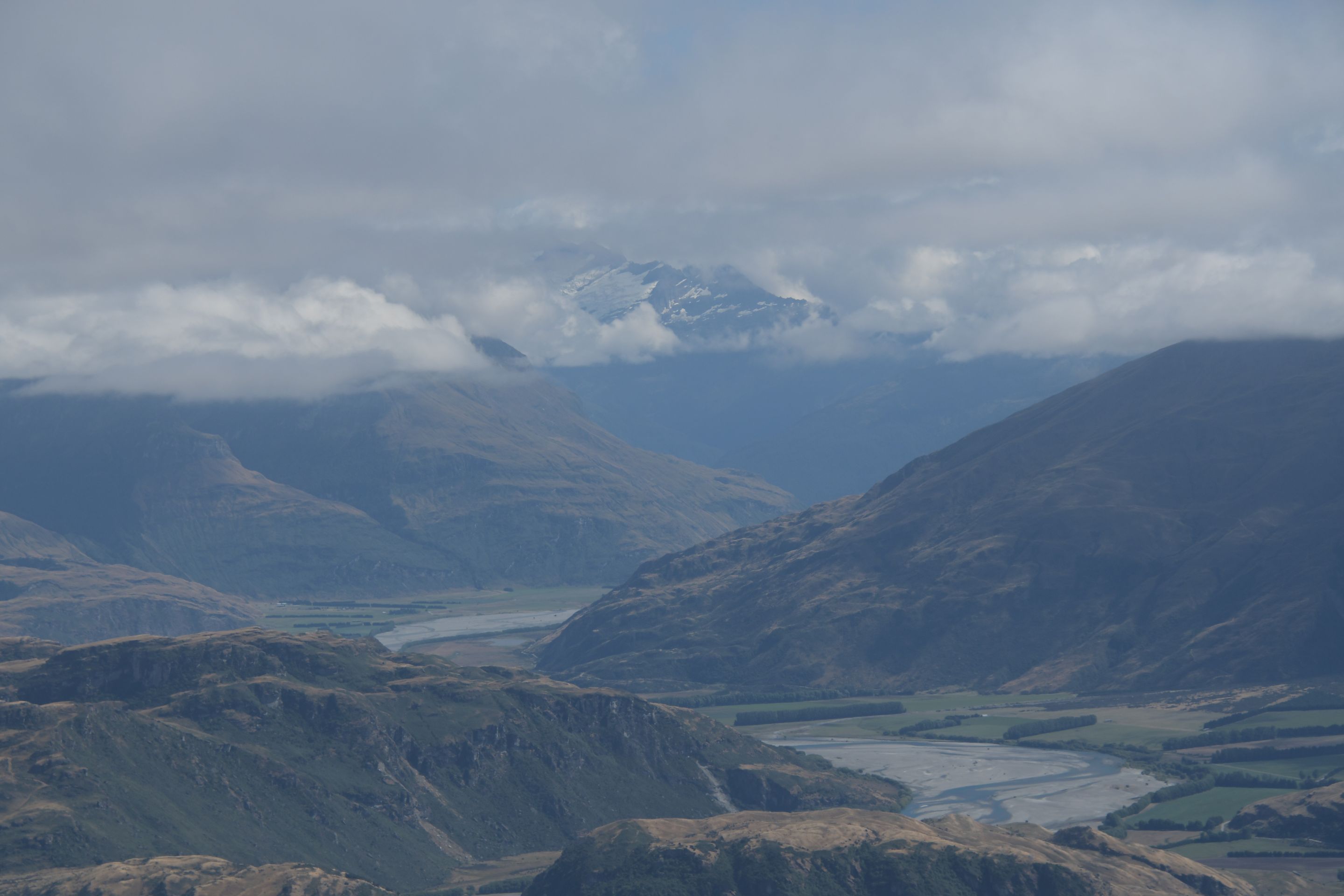
The next day, we embarked on a hike to Roys Peak. Although the cloud cover was not promising when we started, we were rewarded with fantastic views for the really hard ascent (1250 meters of altitude). And being who we are, we thought we should treat our tired legs to a little more and climbed another mountain - the 'Rocky Mountain' (additional 500 meters of altitude) - after a short lunch break.
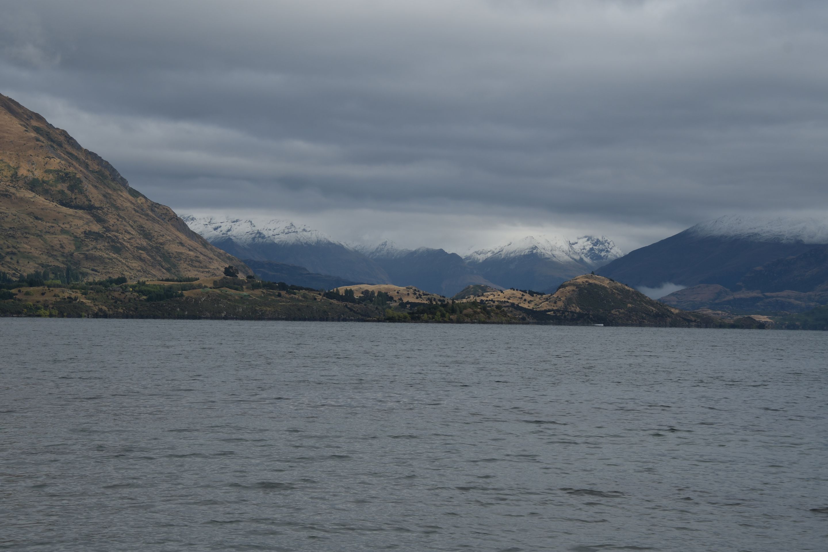
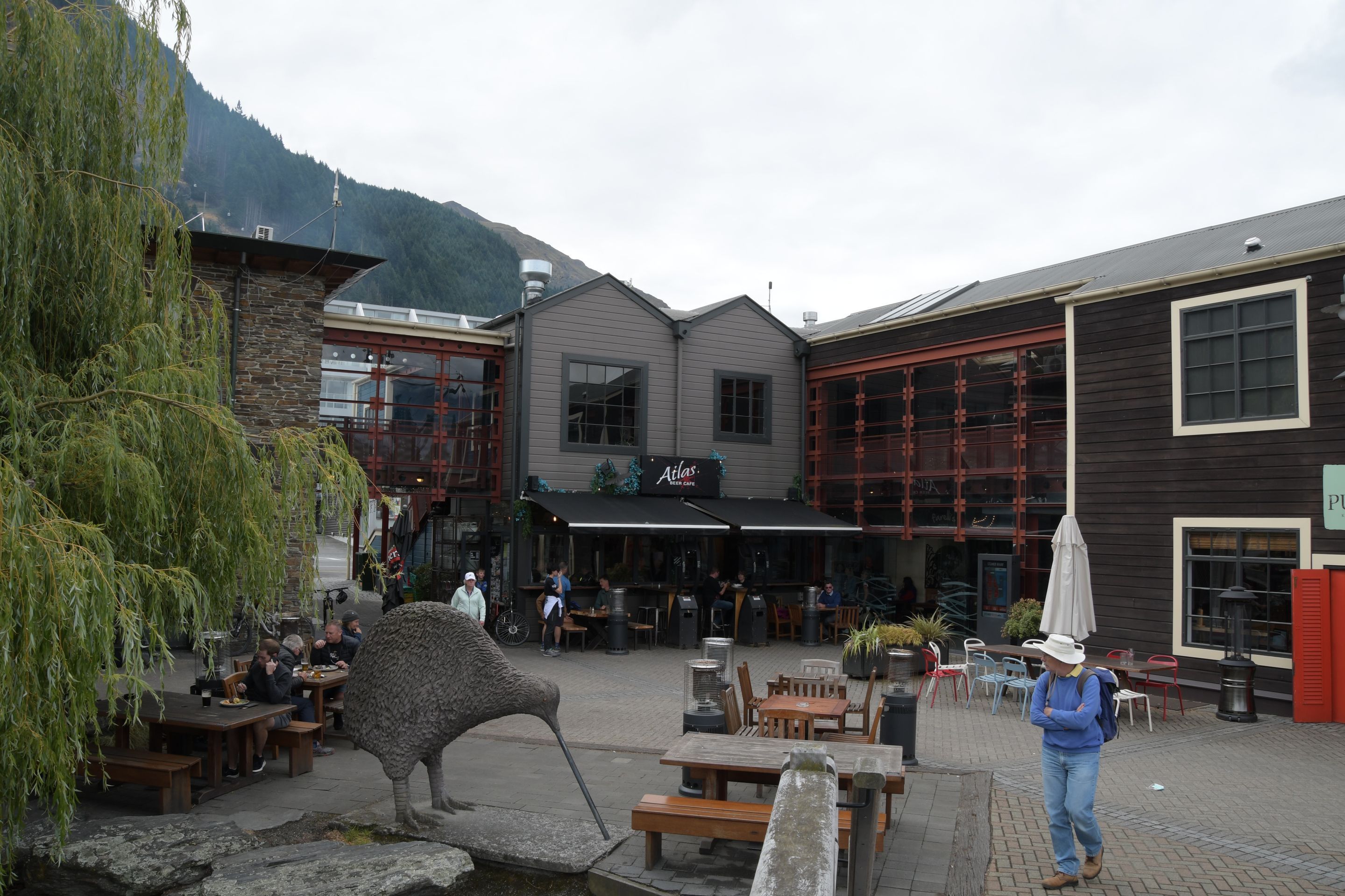
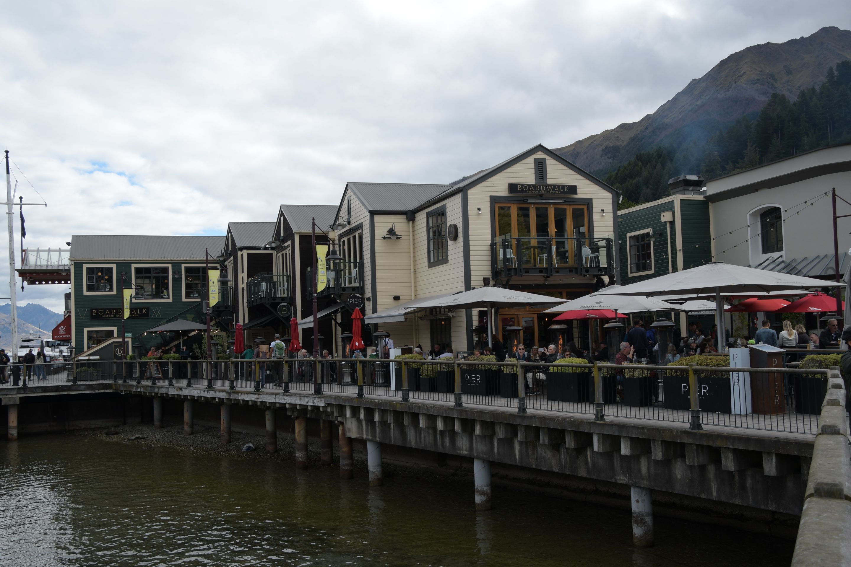
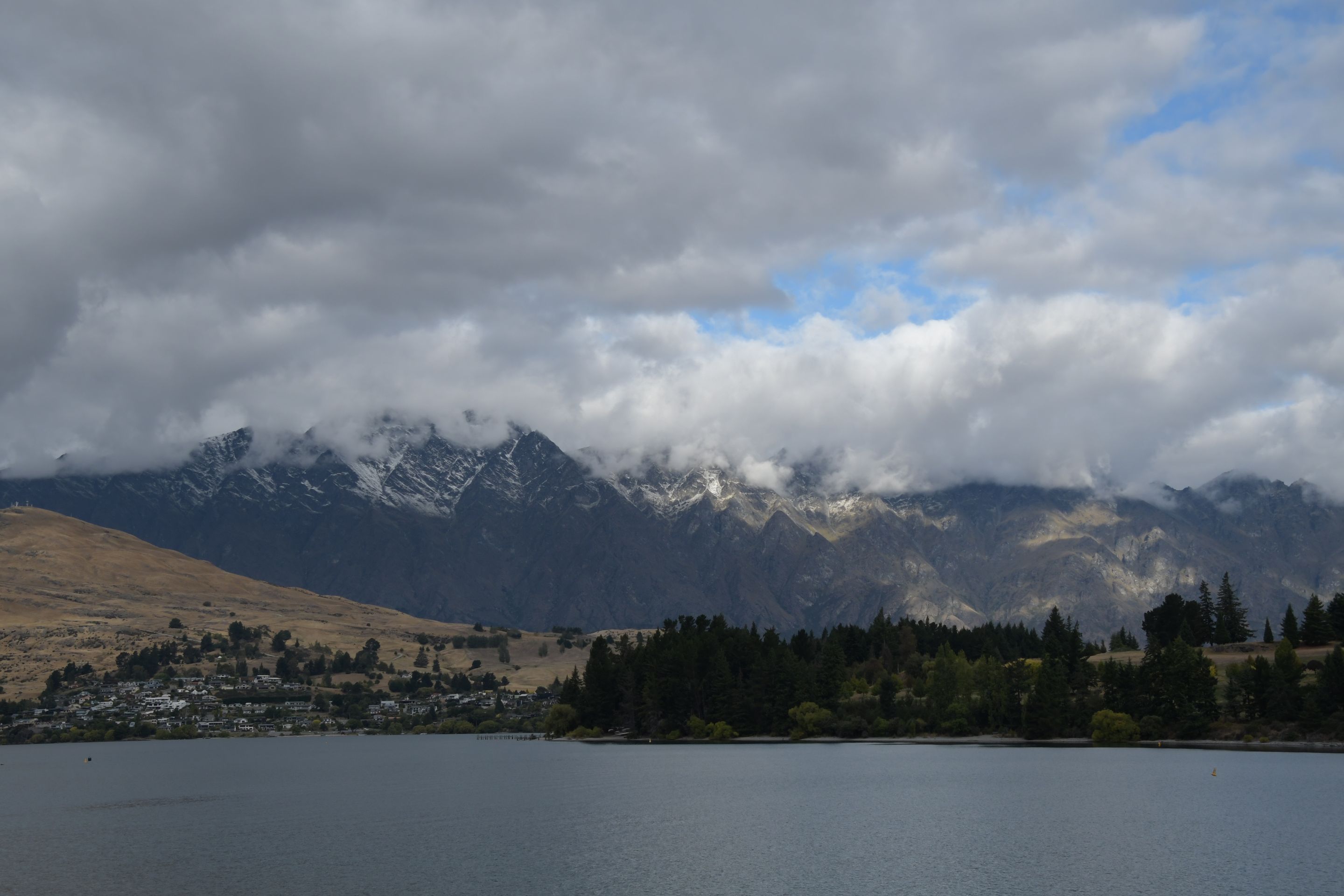
The next day started with 4°C and fresh snow on the mountain tops all around - fortunately, our legs had a rest day today, only the right foot of male M had to make the rare switch from right to left (the cars are set up the same way as usual, even though it is left-hand traffic). We changed accommodations and moved to Queenstown, where we took a look at some souvenir shops.
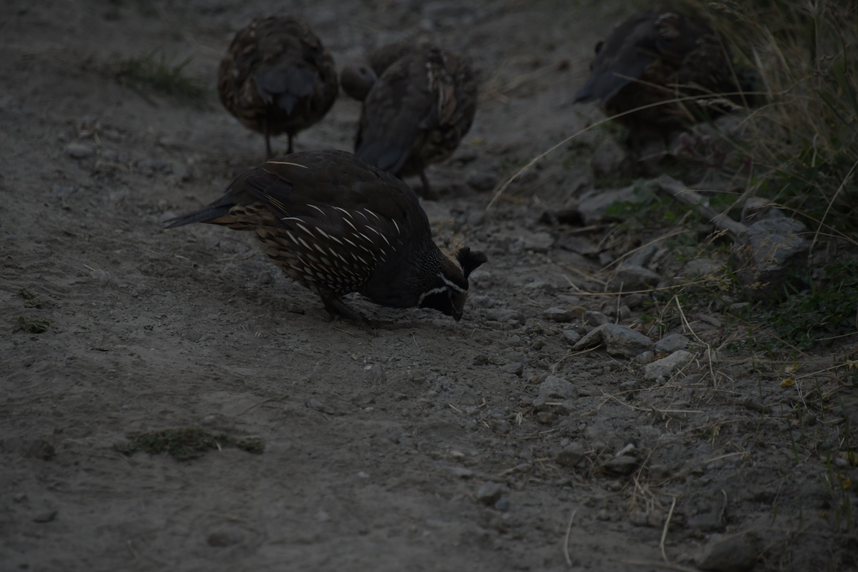
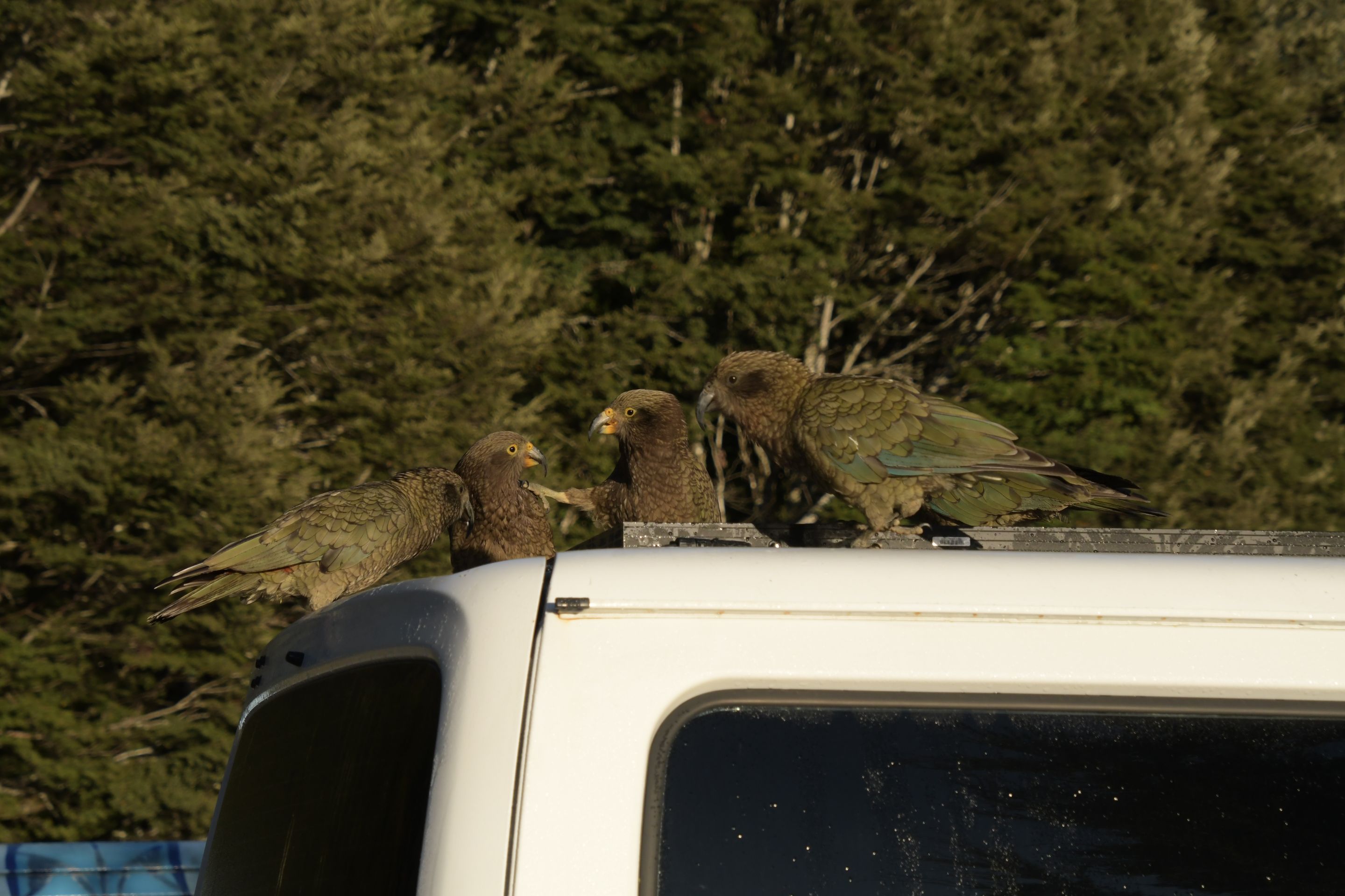
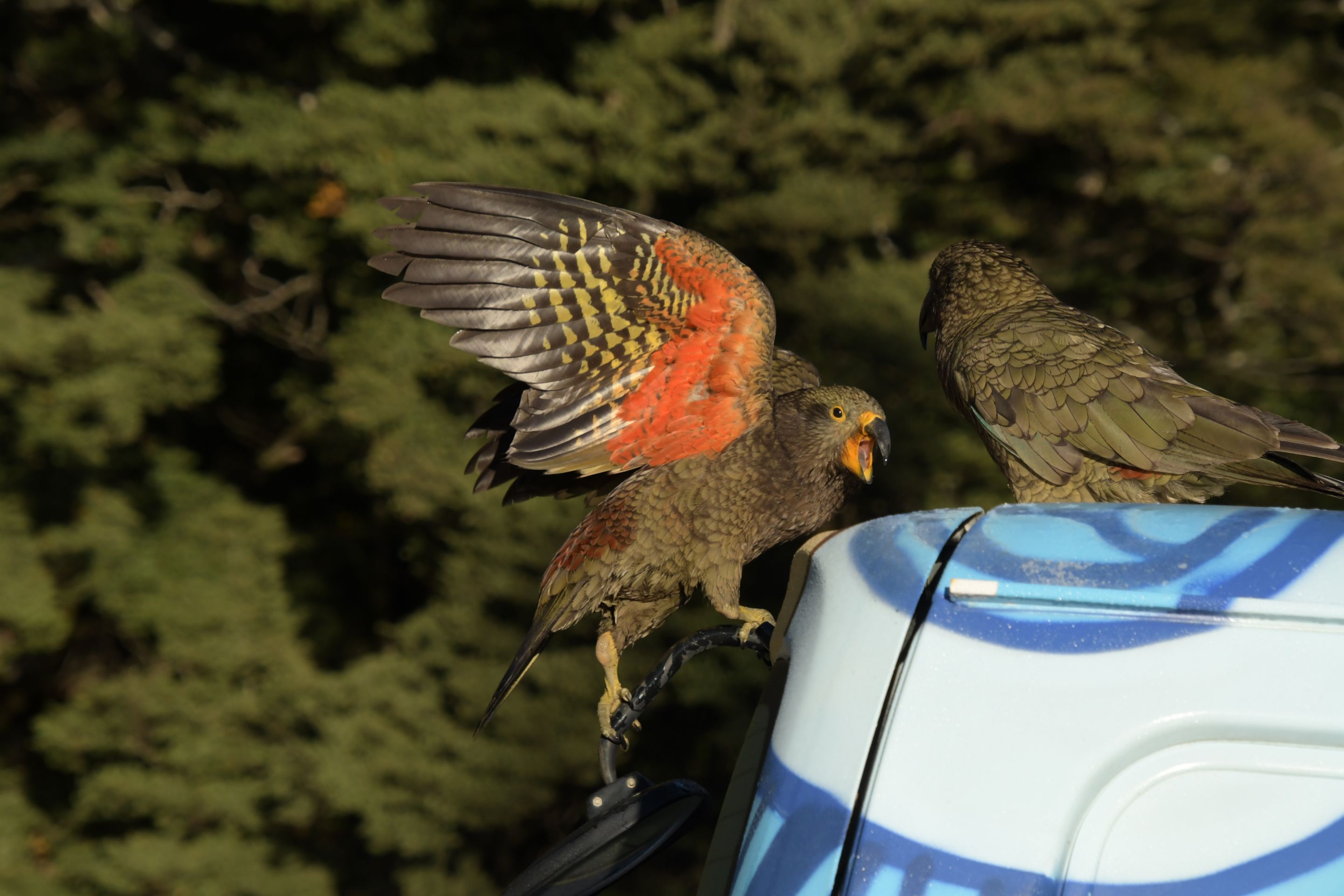
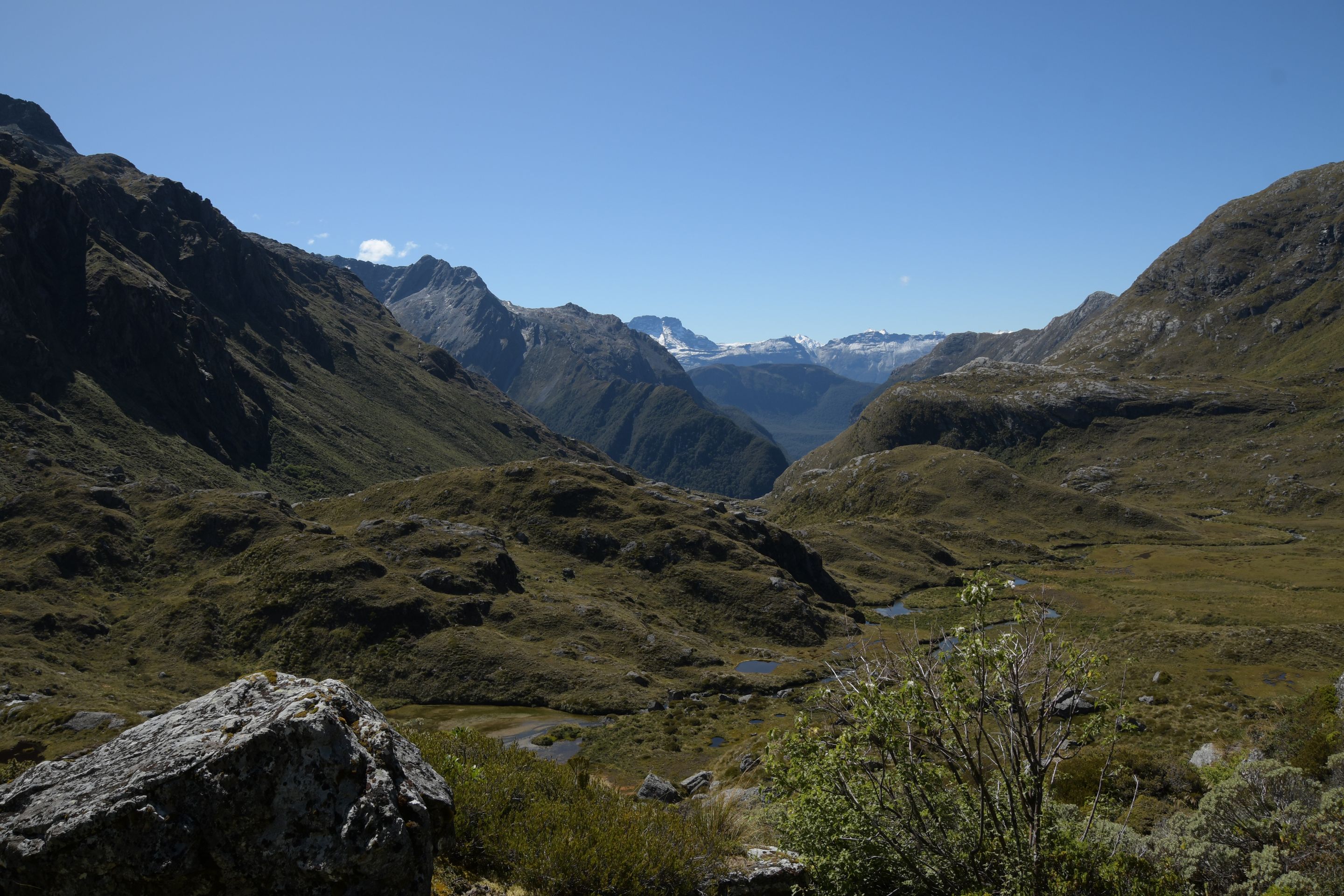
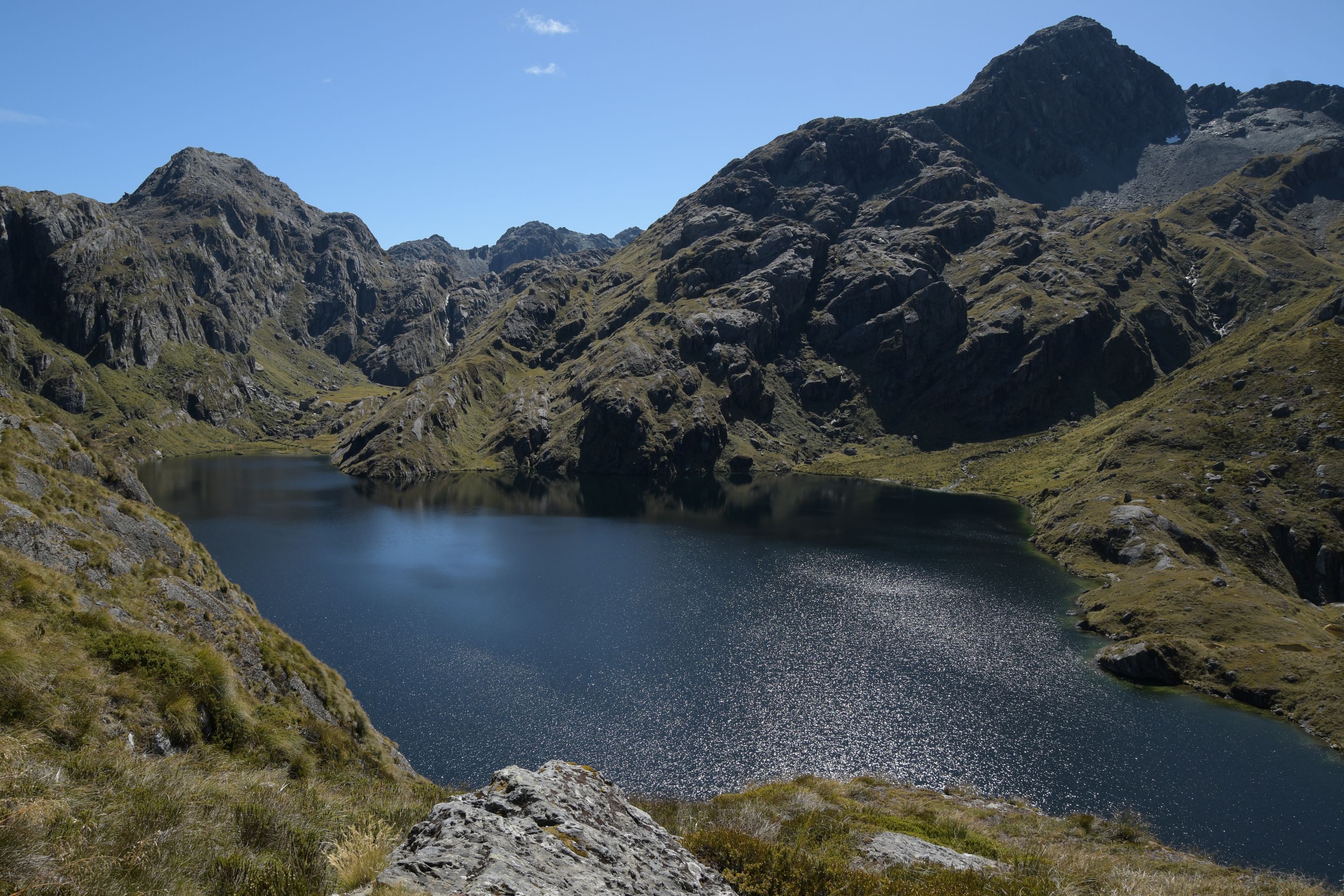
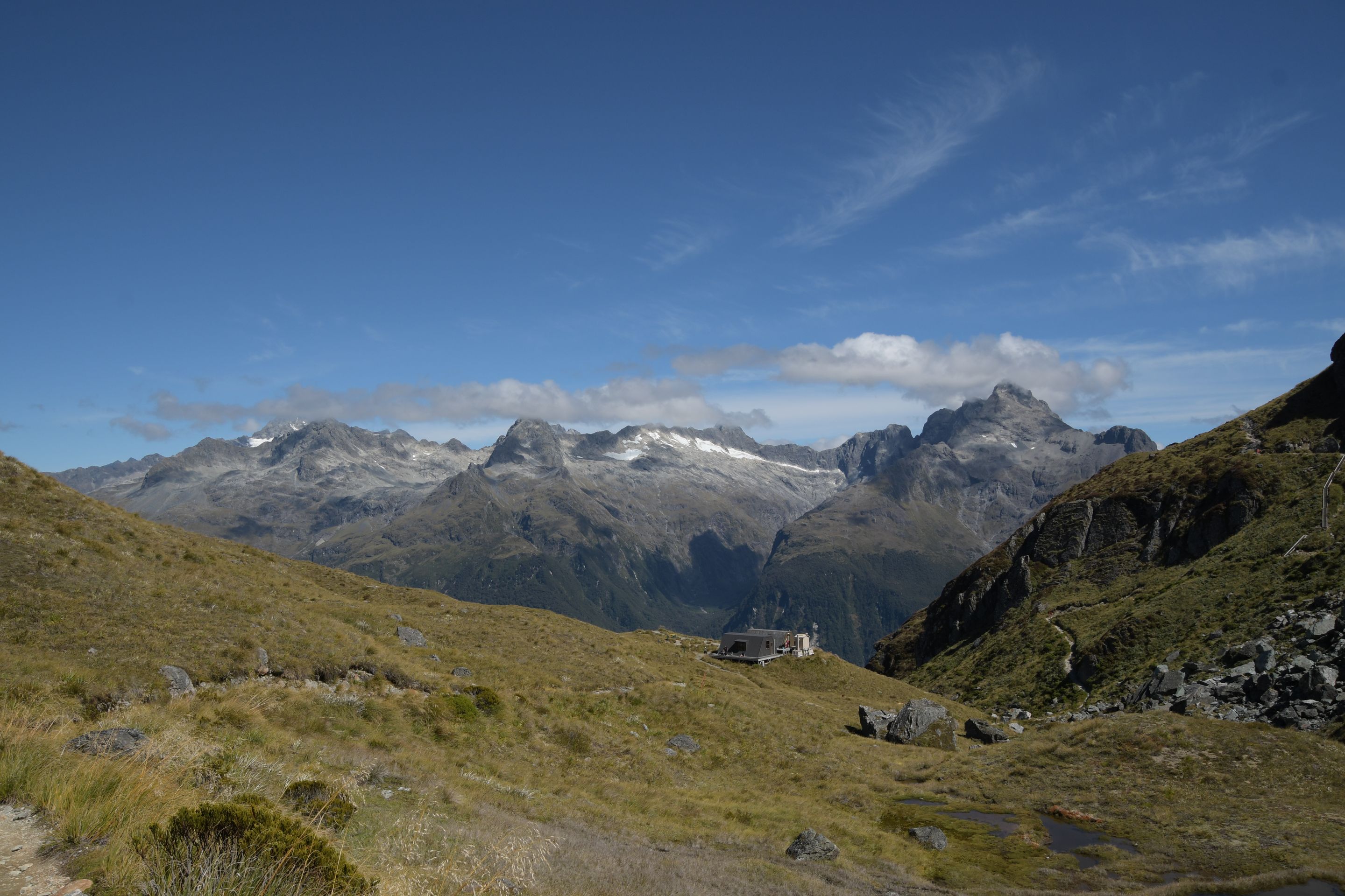
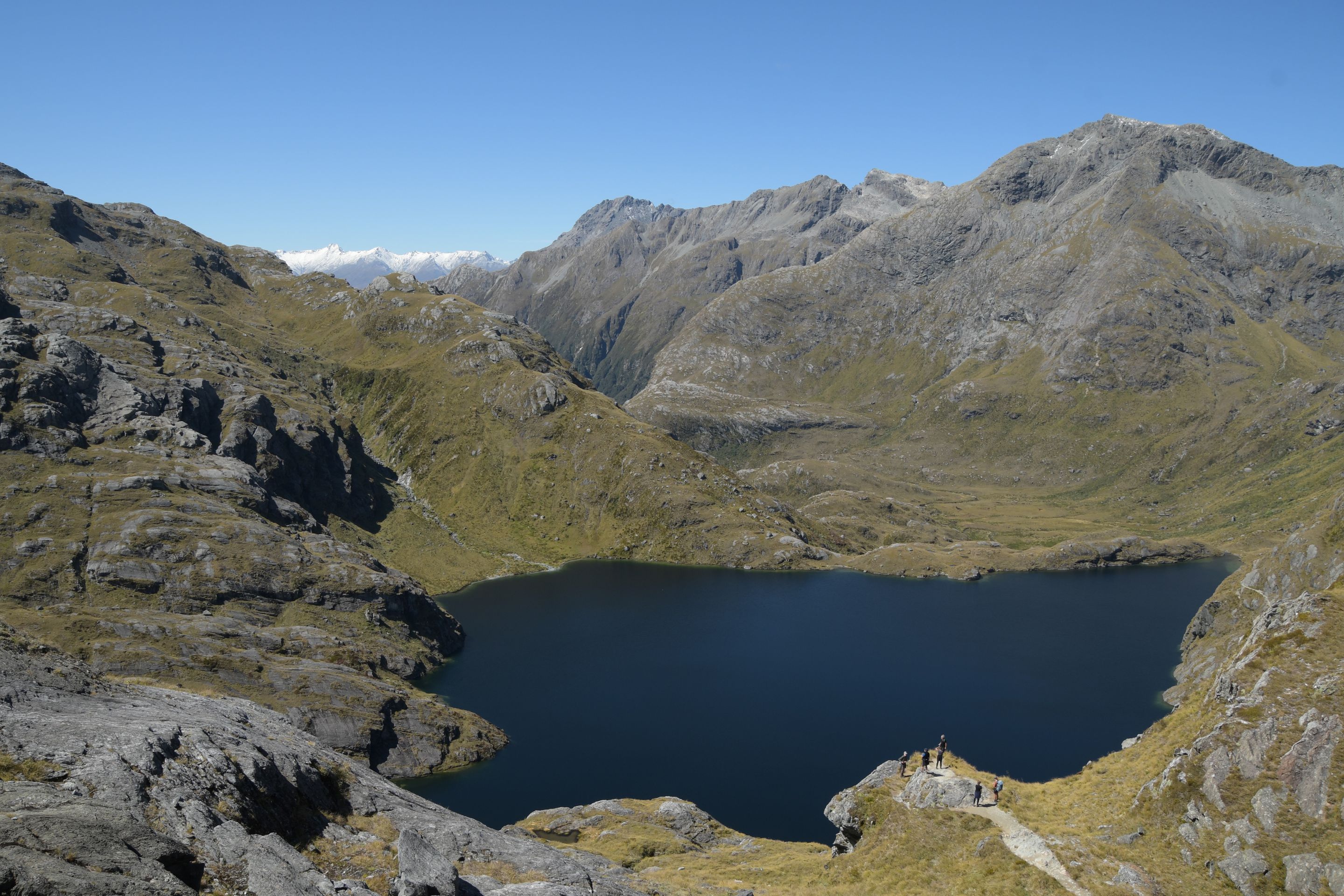
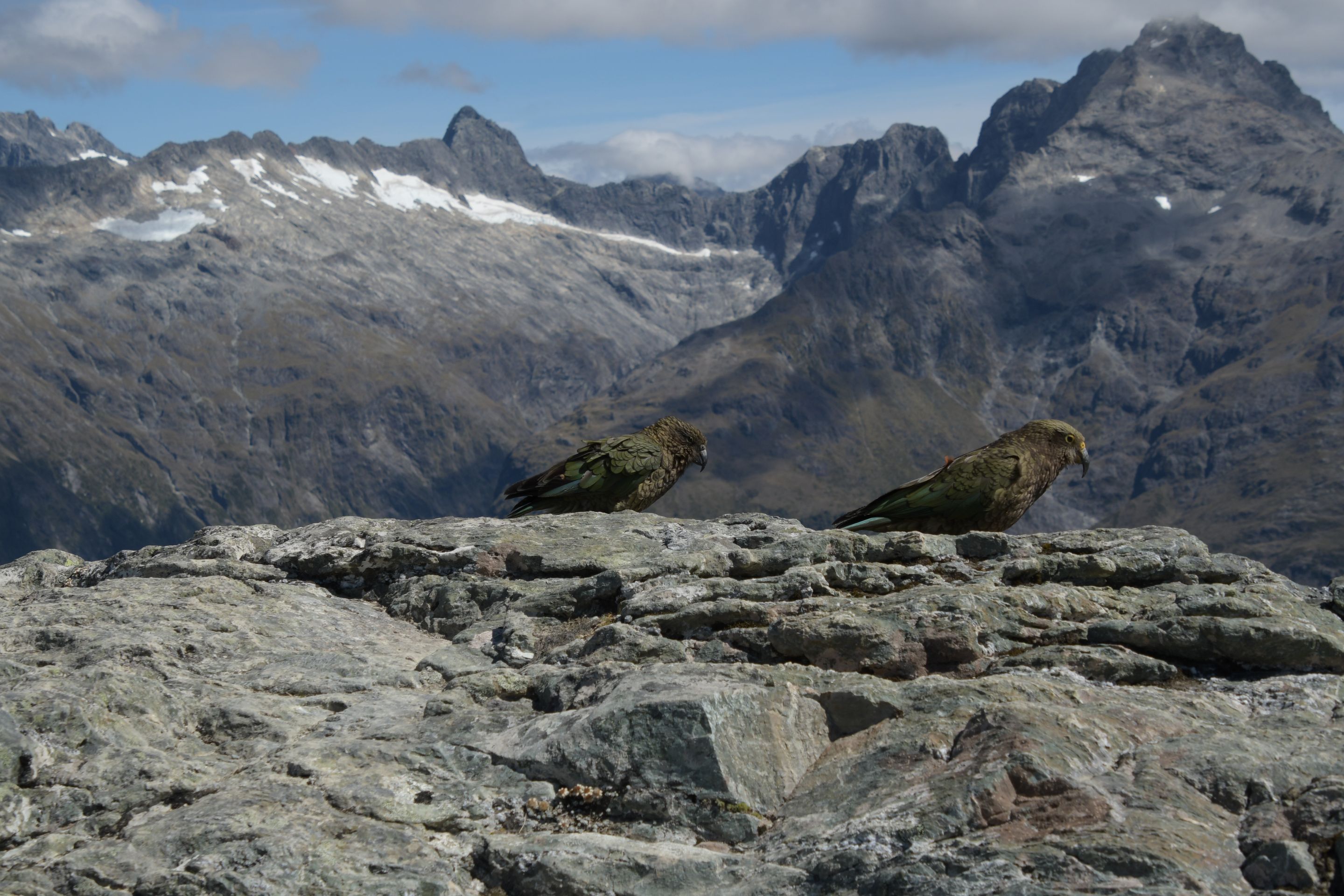
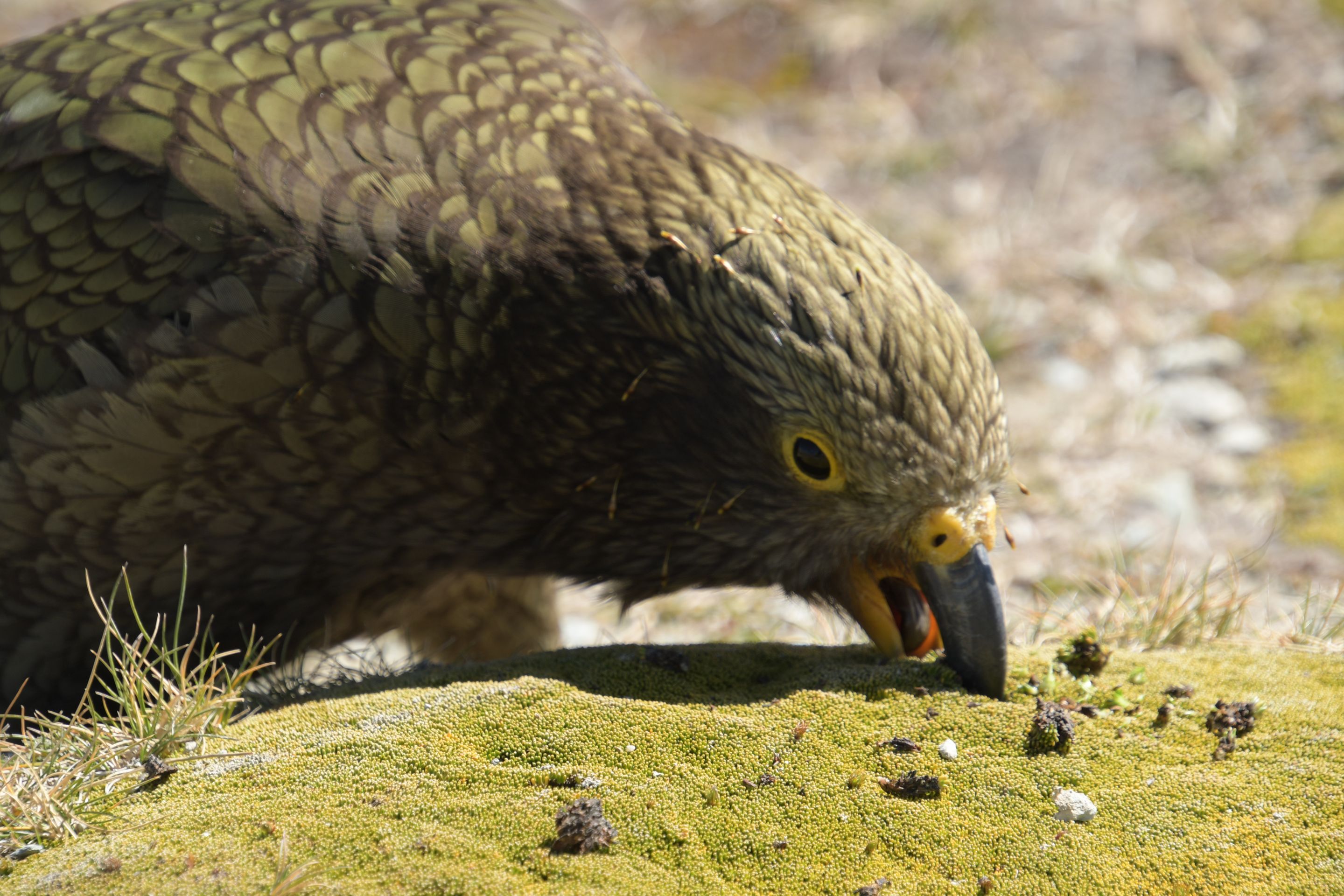
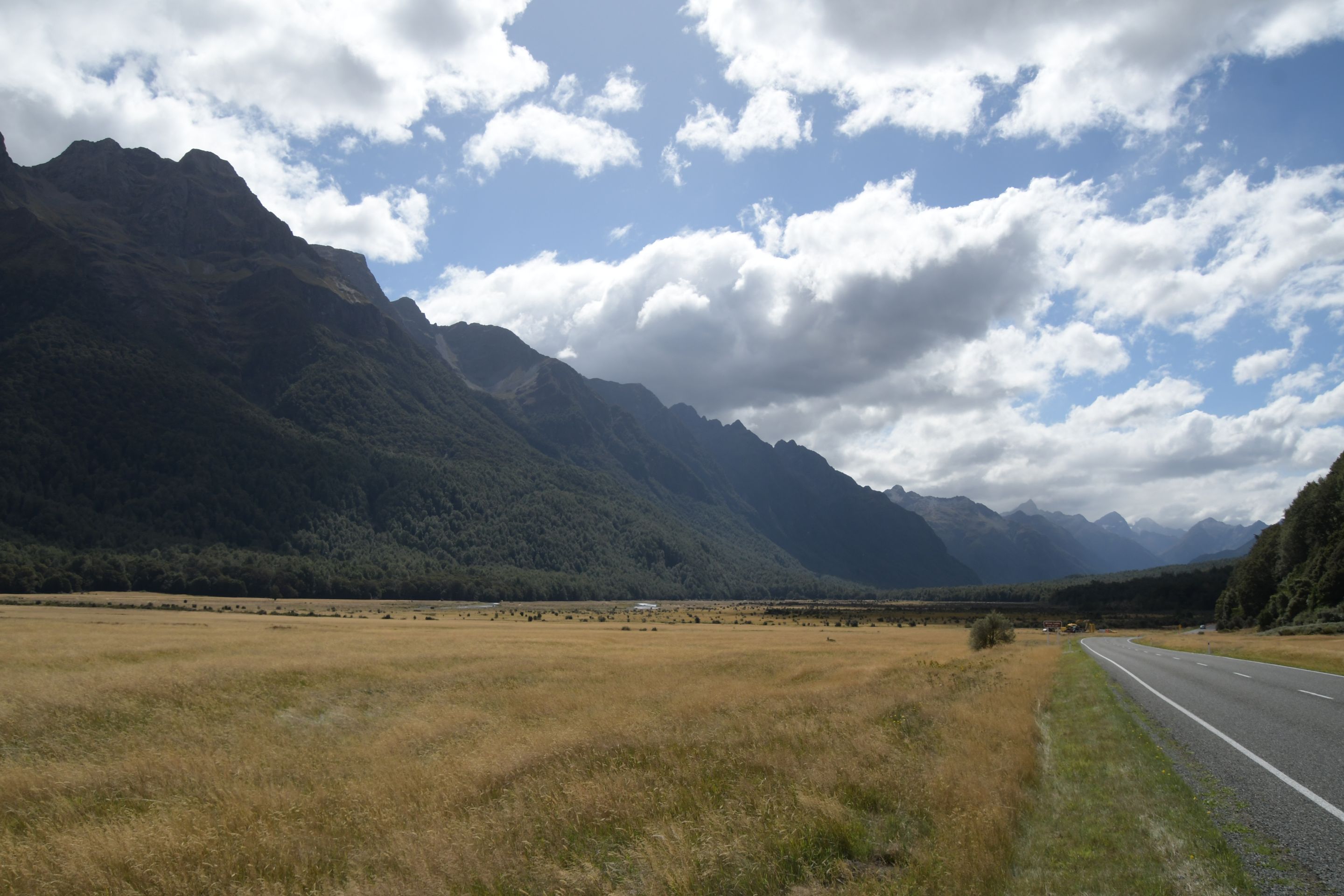
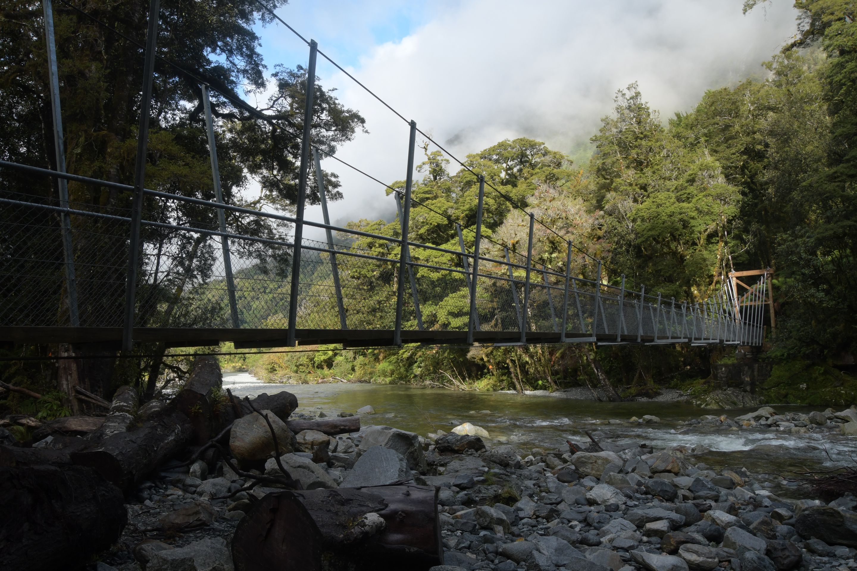
Another day, we wanted to see what our legs were still capable of: In a neighboring town of Queenstown, the Routeburn Track begins, one of New Zealand's 'Great Walks' - it is 32km long and is usually completed in 3 stages with overnight stays in huts (all food, drinks, sleeping gear, spare clothing, ... must be carried). Well, we had tested this type of transportation 26 years ago and concluded that it's not for us. There is also a comfort option available (where you get your meals provided and sleep a bit better), but it was fully booked ... so we did a day tour that took us to the high point of the track (and back) - Harris Saddle, equivalent to 1.5 stages. And because that wasn't enough, we also took a detour to 'Conical Hill' - in the end, it was 28km, about 1000 meters of altitude, and almost 10 hours. The extremities at the lower ends of our bodies were not overly delighted, but they held up. By the way, we saw very active Keas at the parking lot and on Conical Hill...
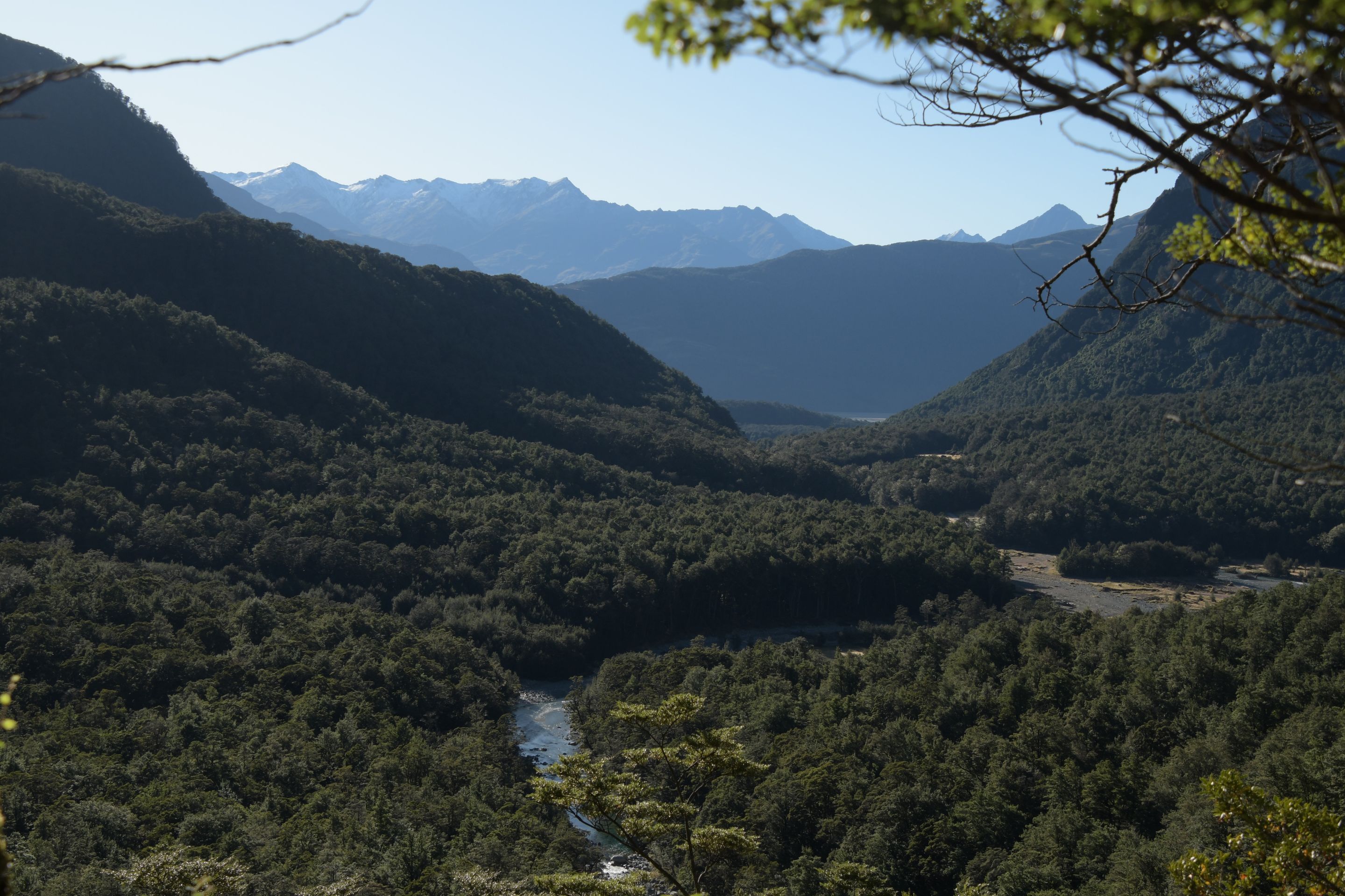
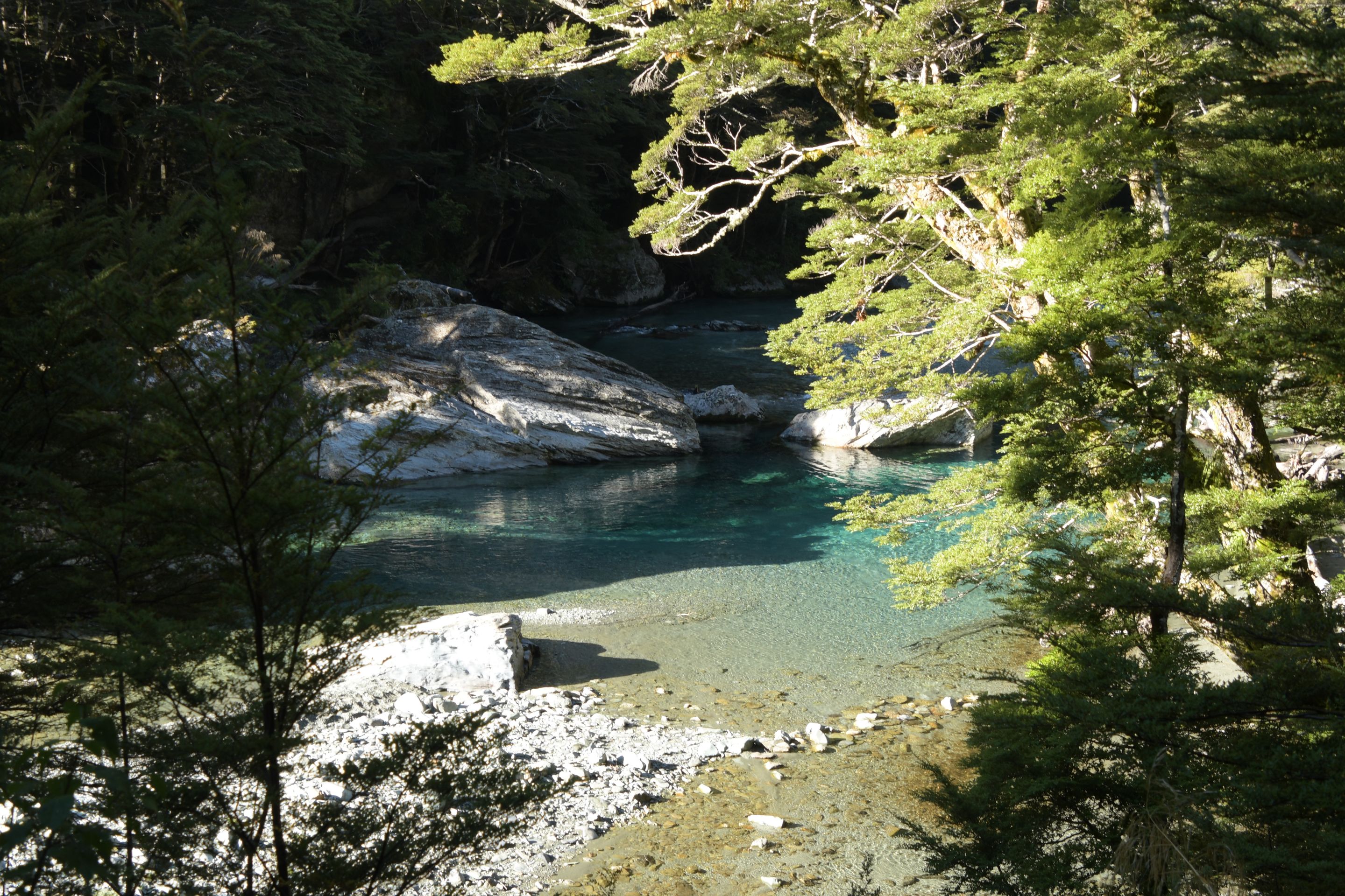
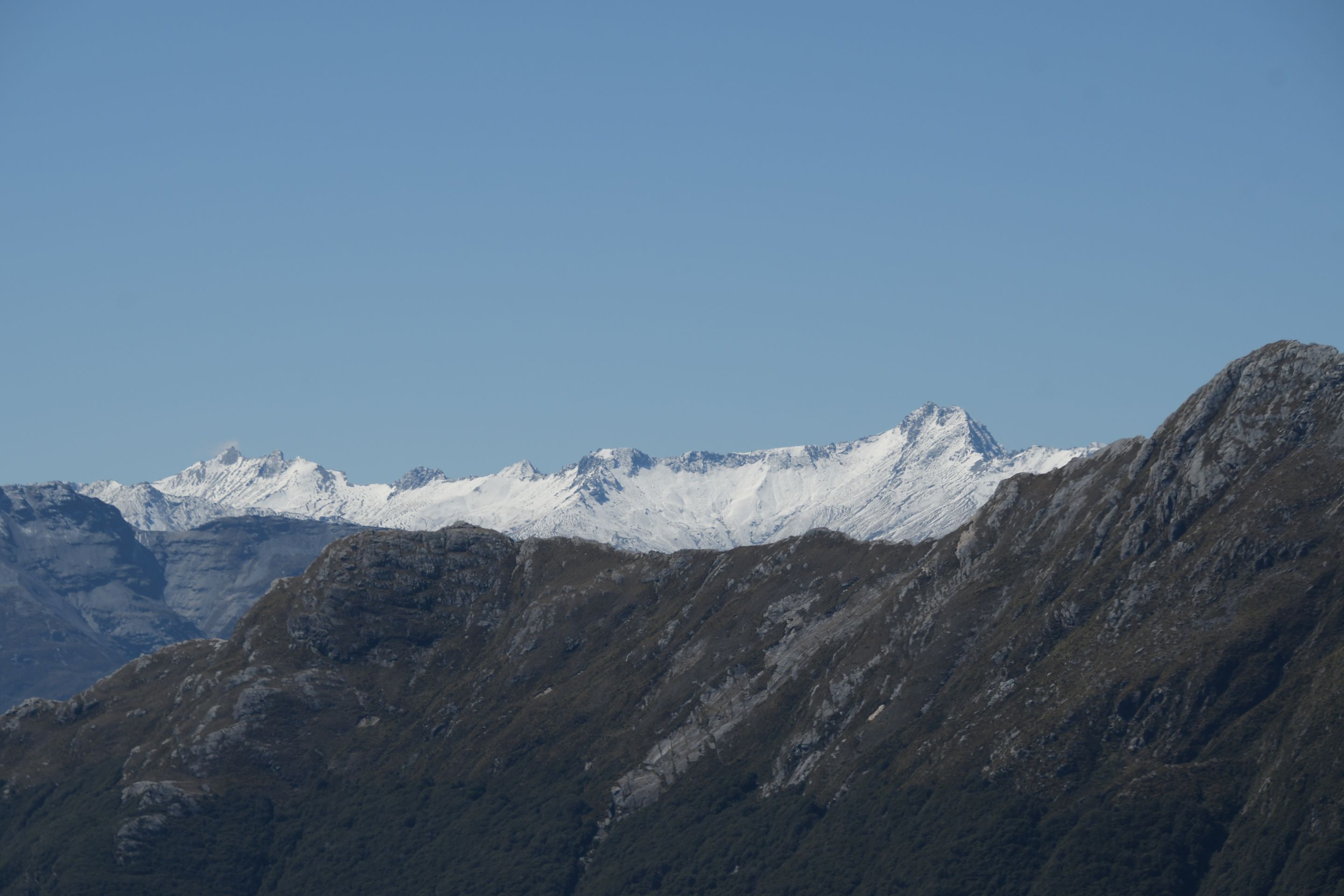
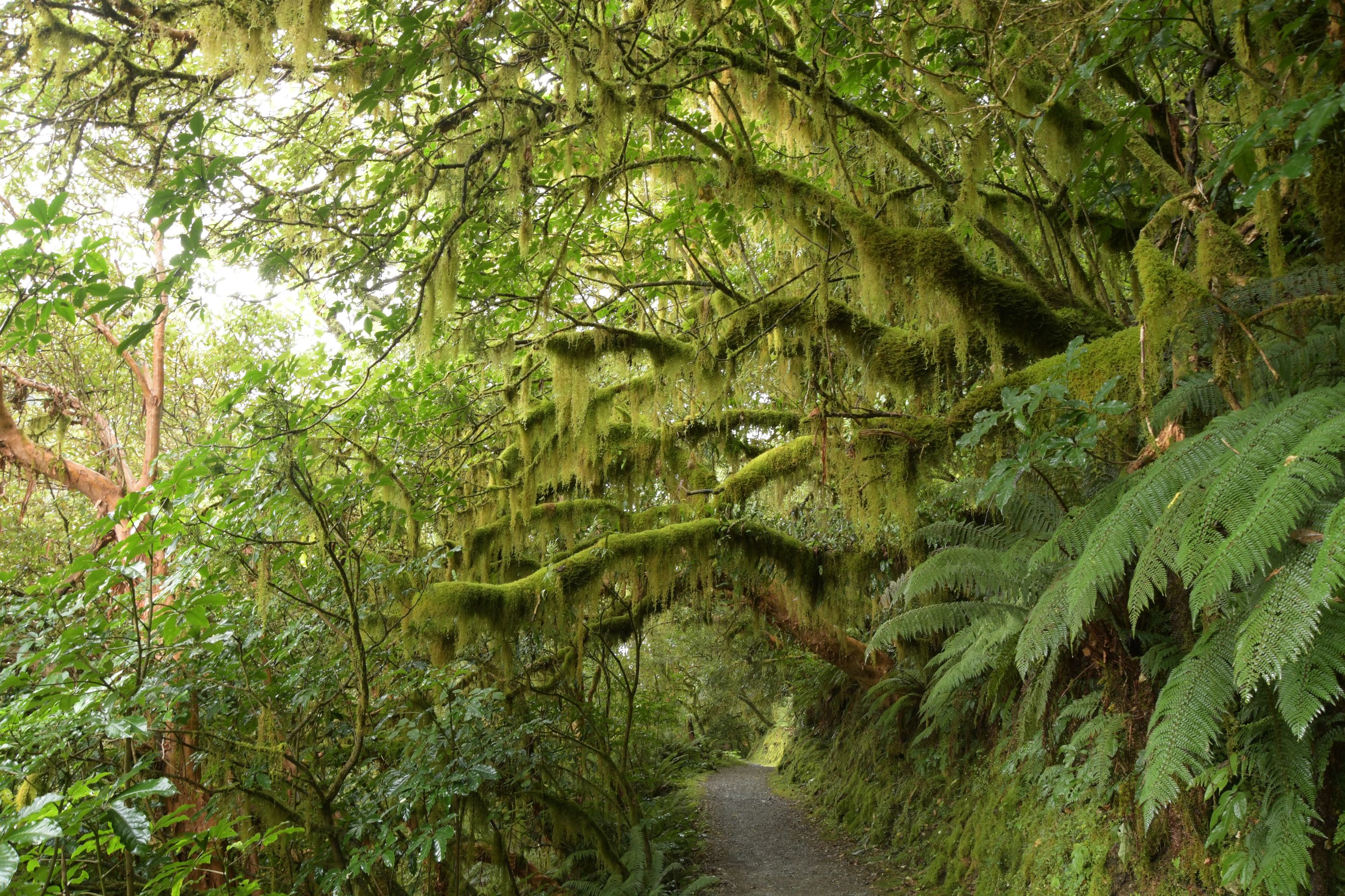
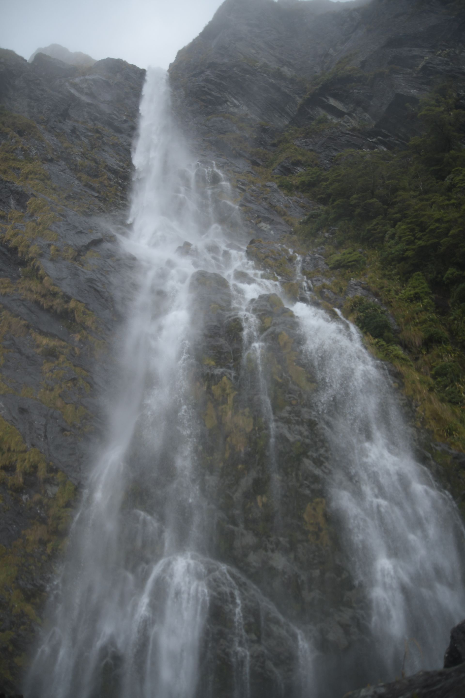
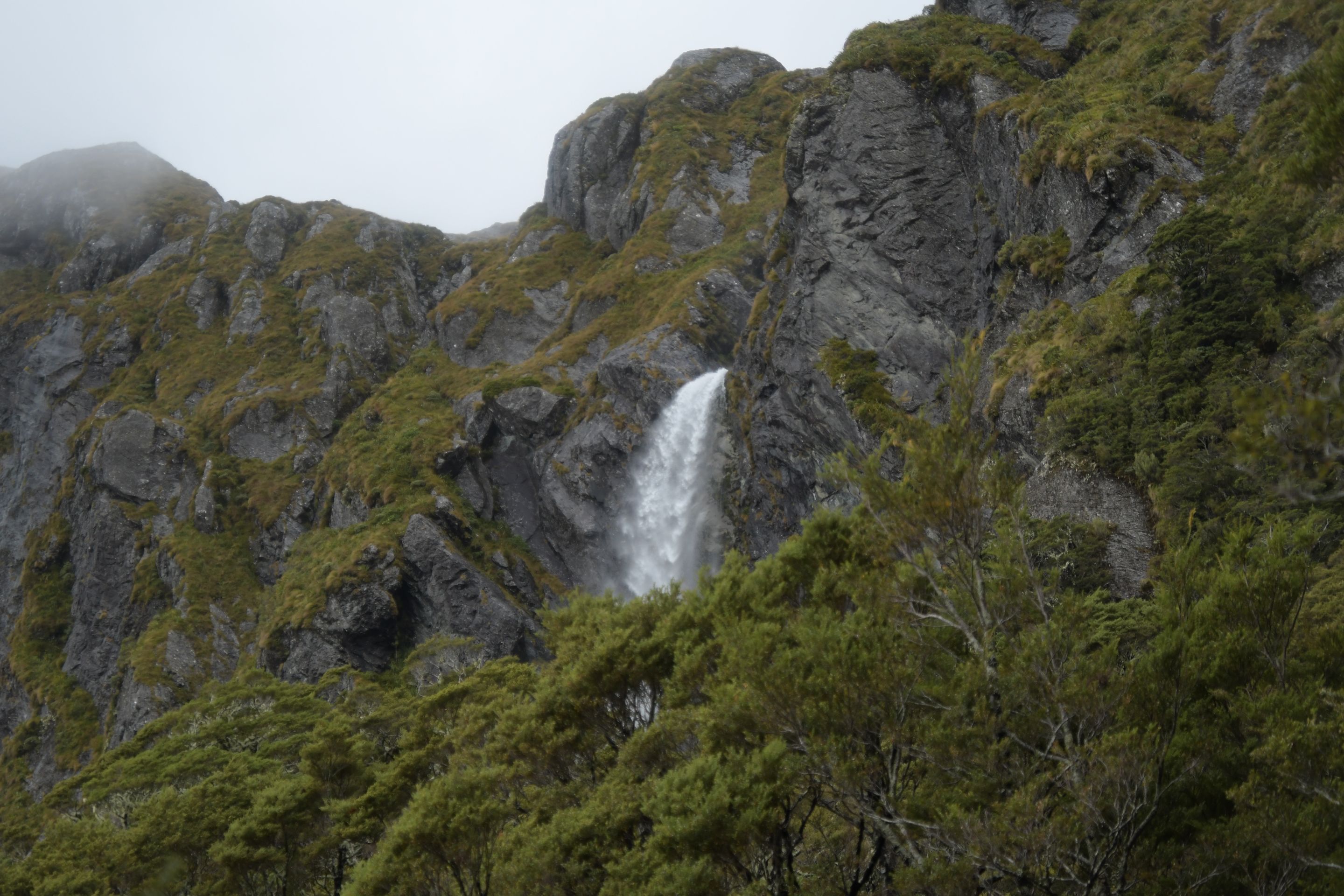
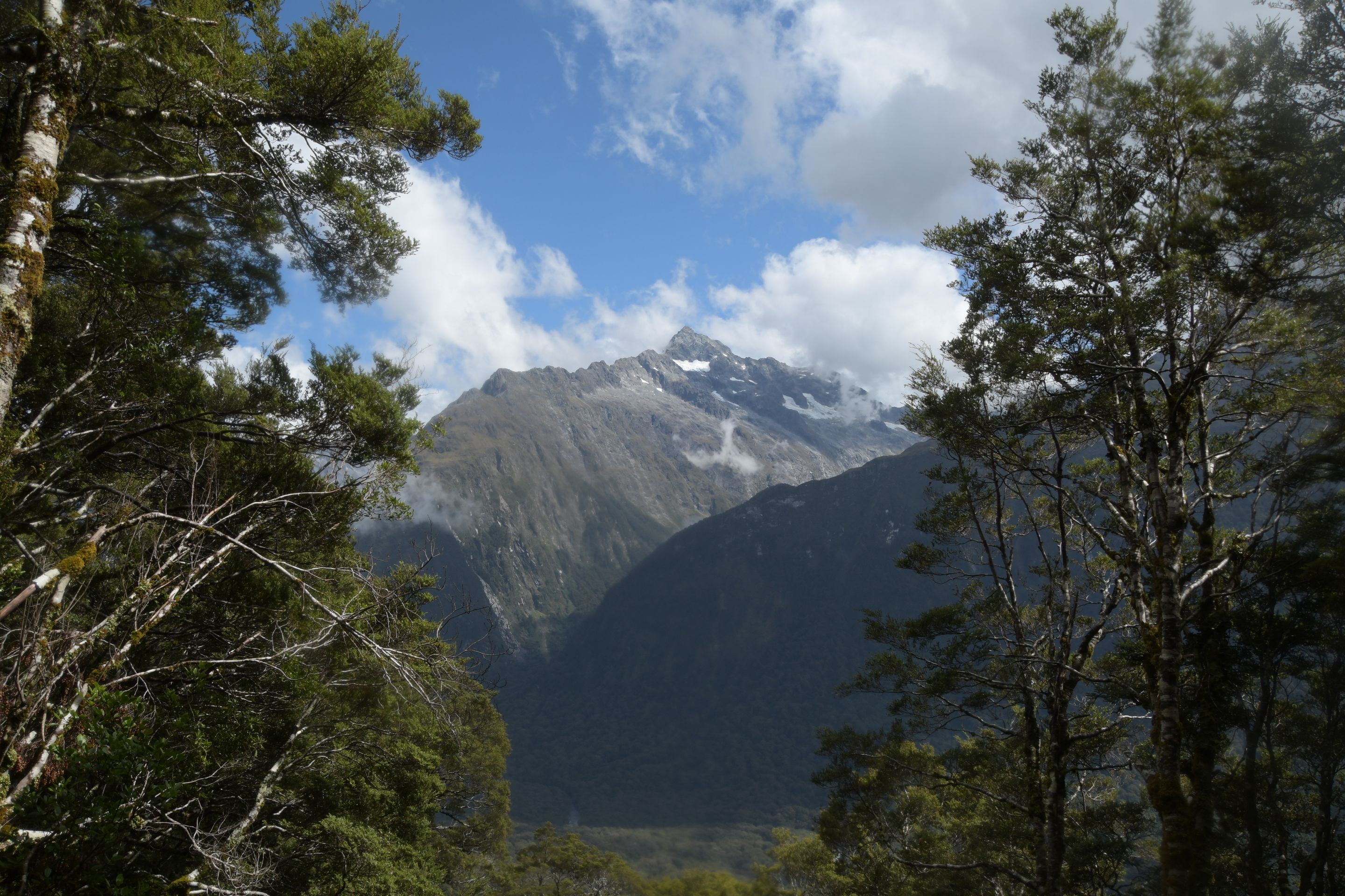
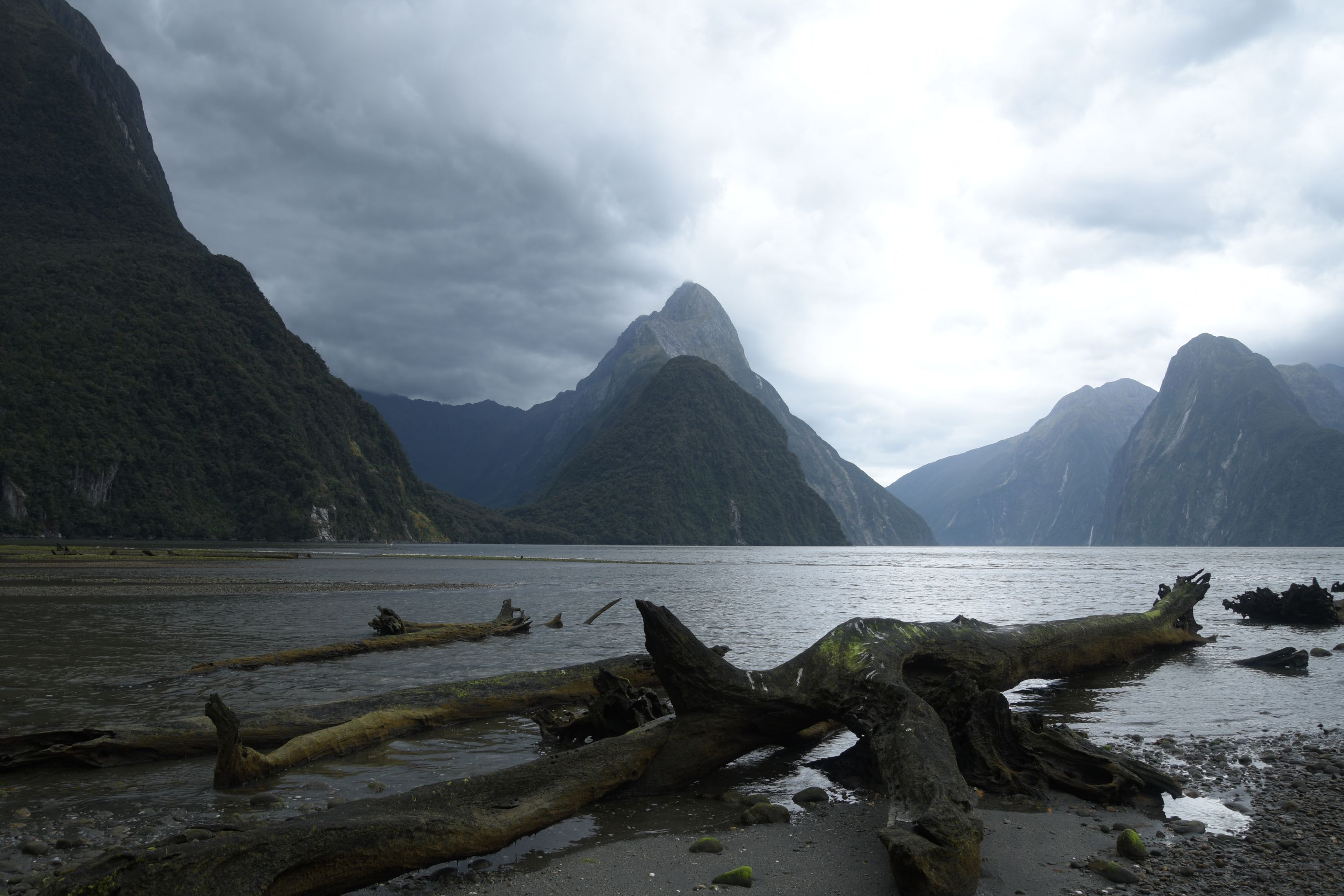
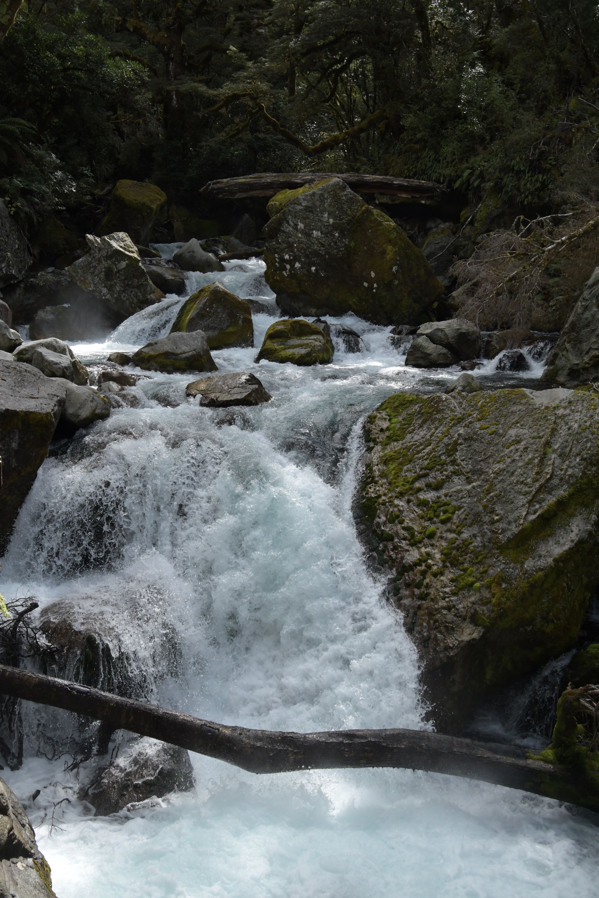
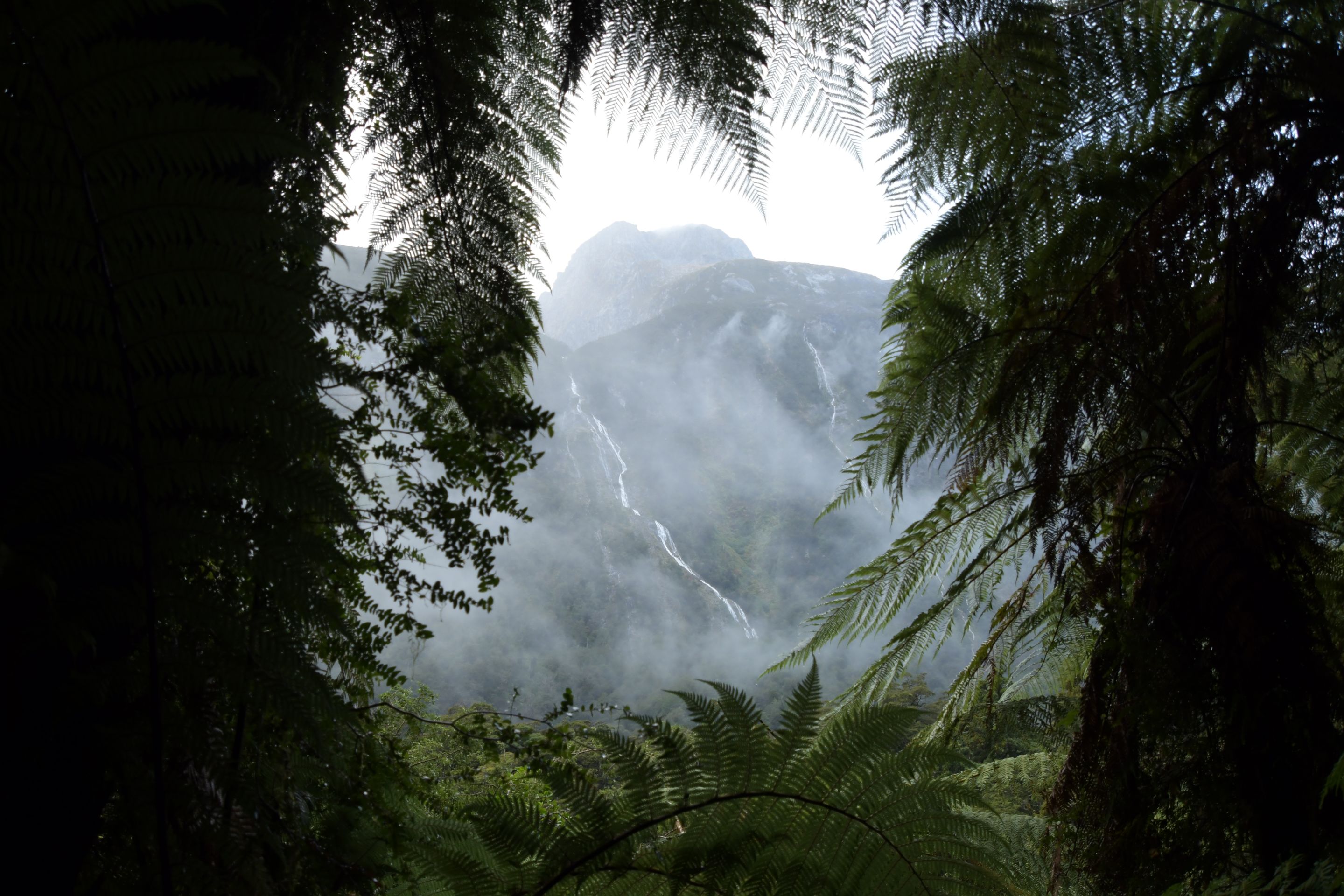
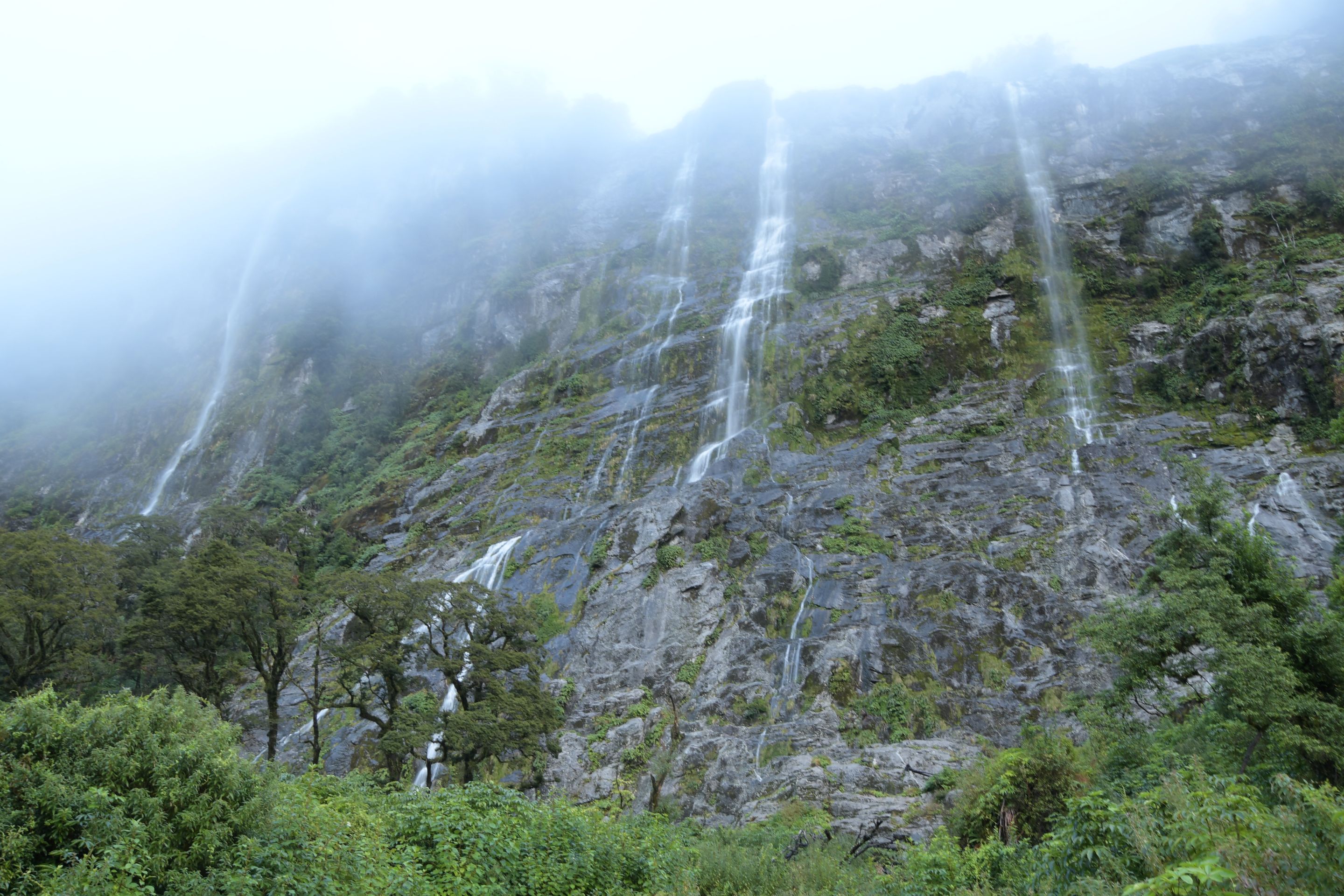
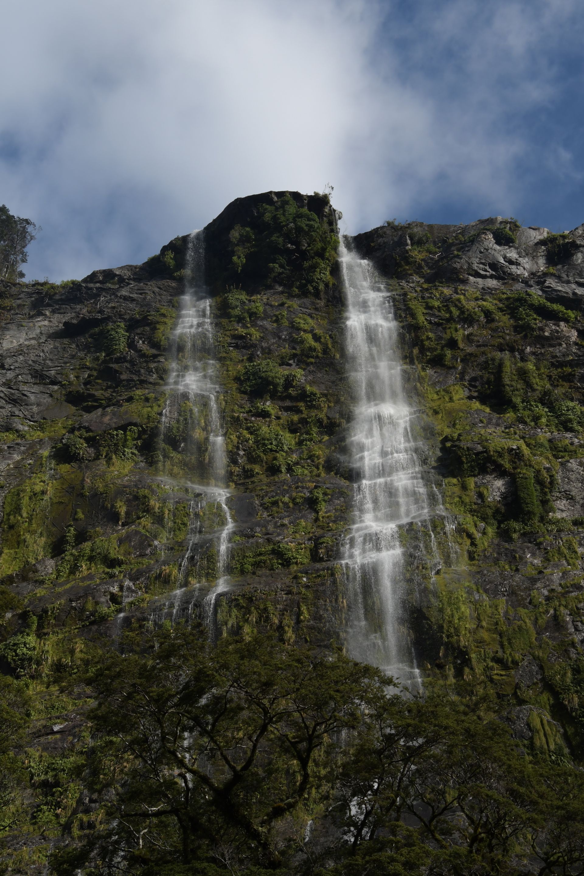
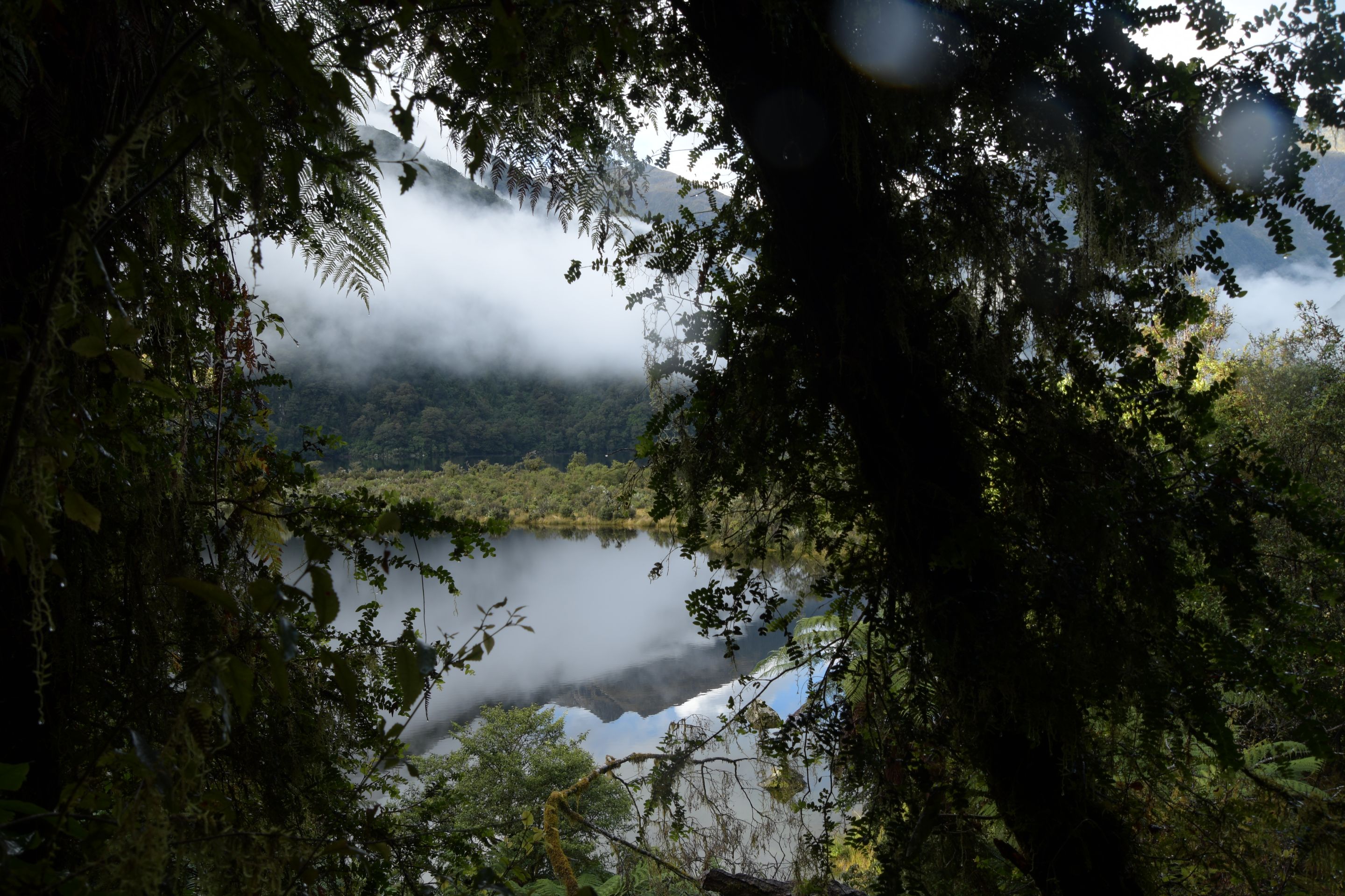
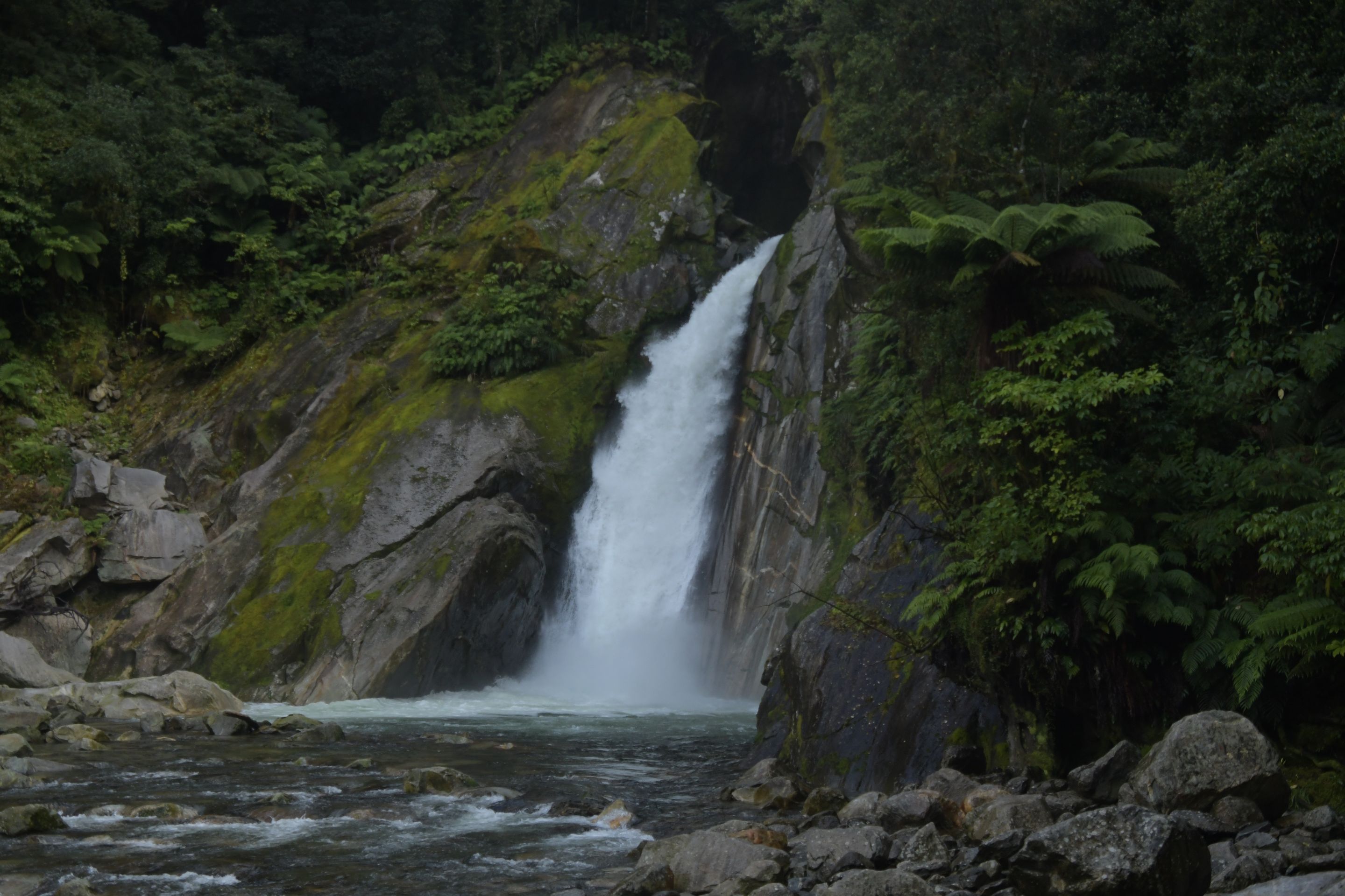
We then moved to Te Anau - another day to relax. The day after, we walked a small section of the Routeburn Track from the other side (and back, of course). It was about 6km and a manageable 400 meters of altitude to the 174m high Earland Falls, which were very impressive. The visibility on the way there was rather poor - a cloud hung directly above us. Fortunately, it was blown away and we had sunshine on the way back. We then took a side trip to 'Key Summit' (+200 meters of altitude, +3km) and were rewarded with some beautiful views here as well. We were away from the car for a total of 5 hours. Finally, we made a leisurely evening visit to Milford Sound - almost unusual without the usual tourists. Unfortunately, it was rather cloudy again, but we managed to capture a few pictures of the clear Mitre Peak.
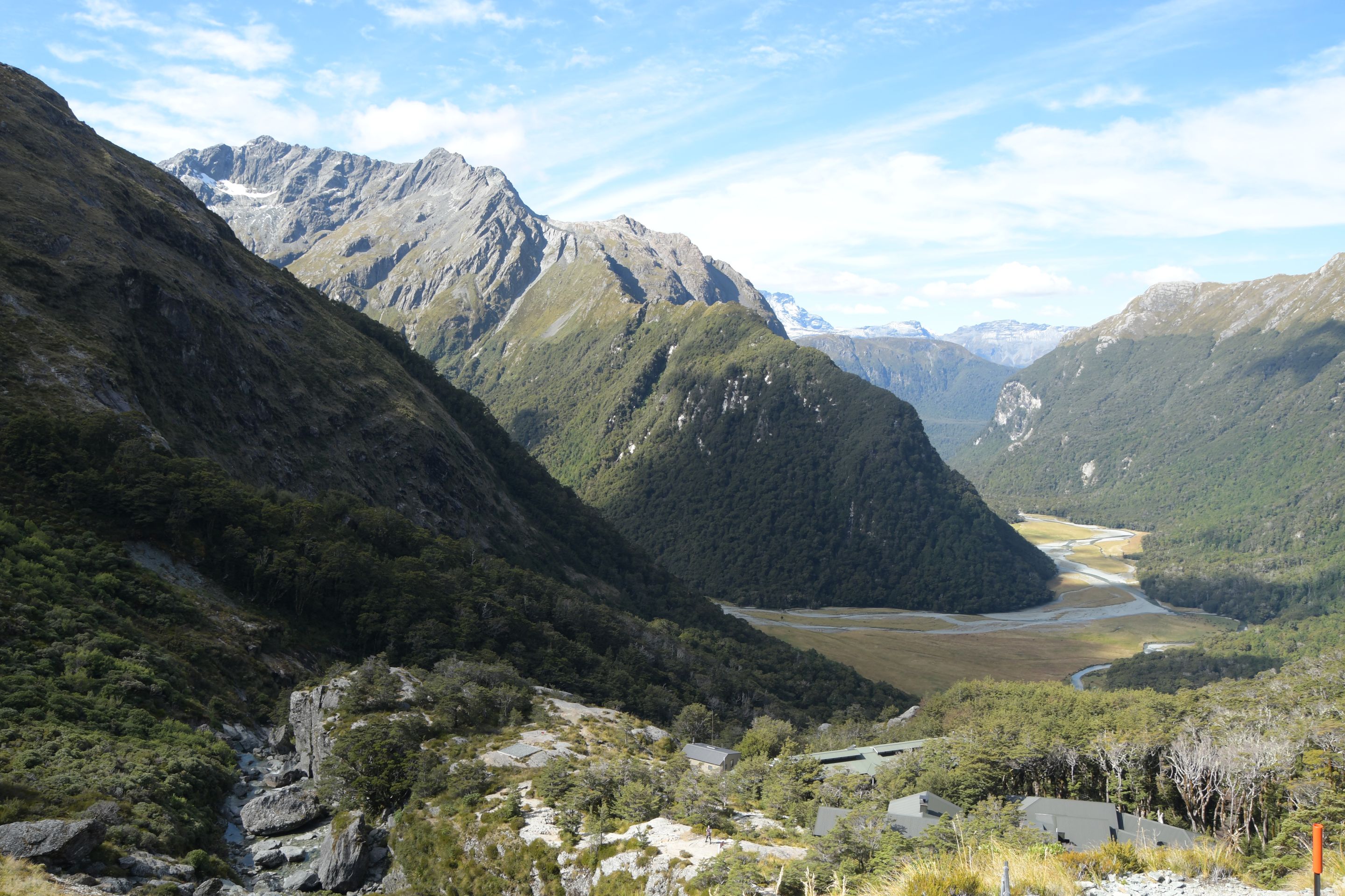
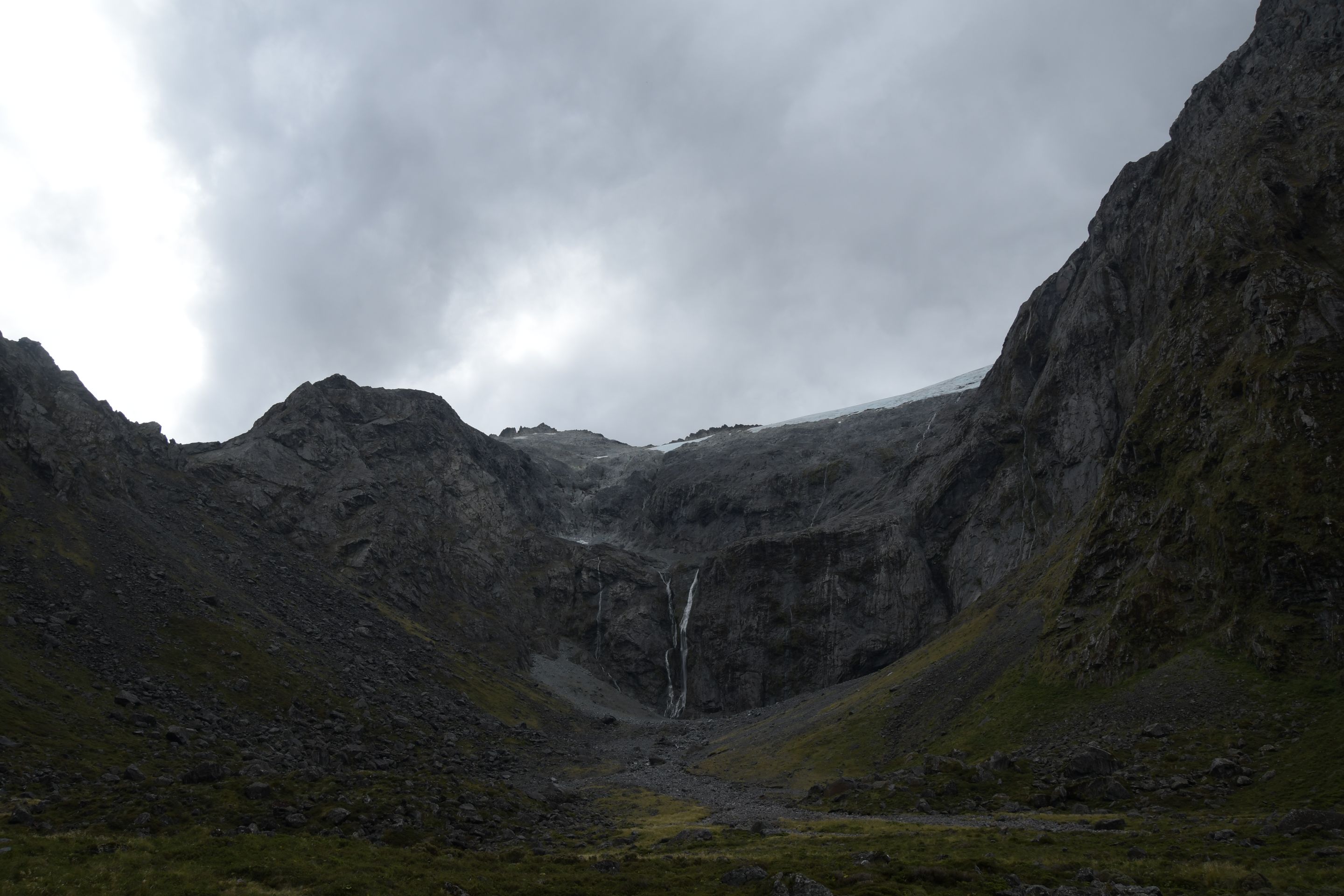
For the second day in Te Anau, we had booked a flight over the Fiordland NP. However, it was canceled due to bad weather, so we had to come up with an alternative. We decided to bring forward a hiking day and climbed (literally) to Lake Marian. The trail was not long, but extremely difficult to walk - well, our little sneakers are used to hardship by now and always brought us safely up and down...
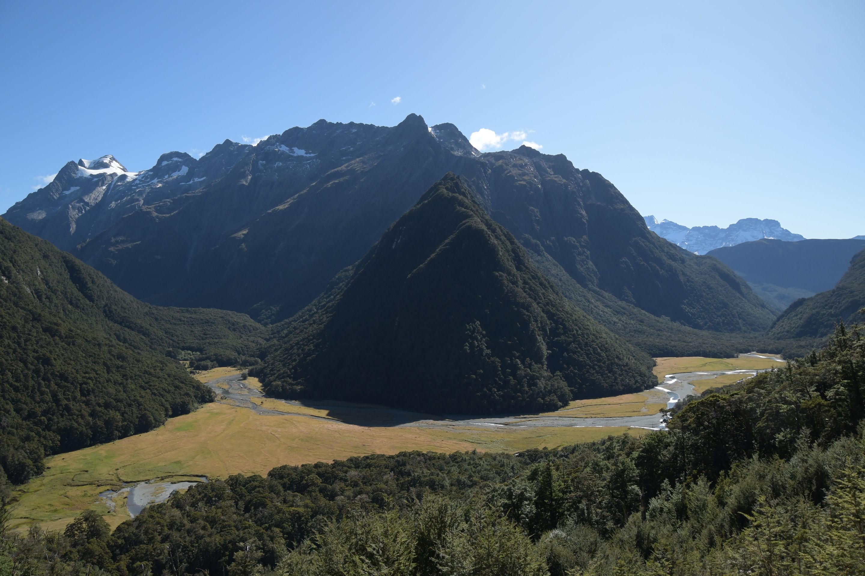
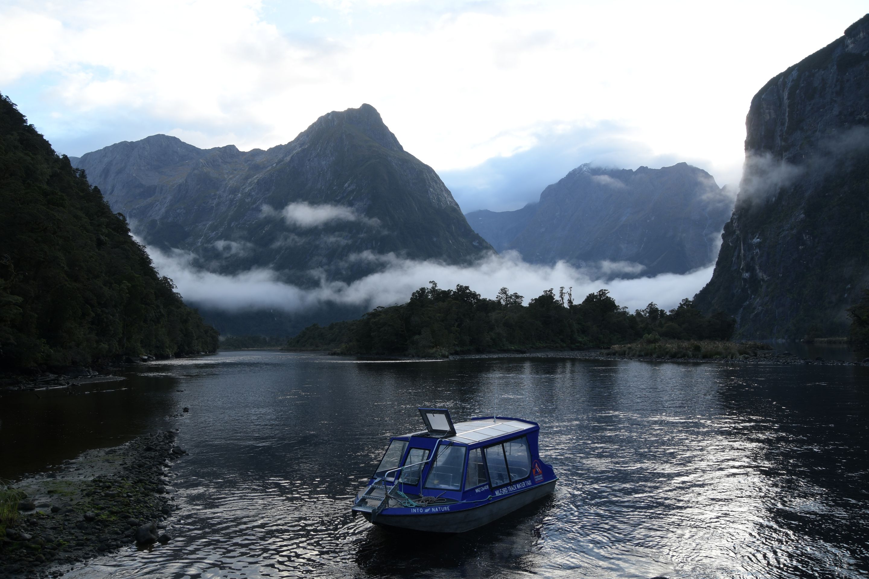
The flight was rescheduled for the afternoon of the following day, but in the morning we first tackled the last planned hike: a few kilometers on the famous Milford Track (once again there and back...). With the flight scheduled for the afternoon and a 2-hour journey to the starting point, this meant getting up at 5 o'clock... The trail is the actual end of the Milford Track and is the easiest section, which, after the strains of the last few days, was not sooo bad.
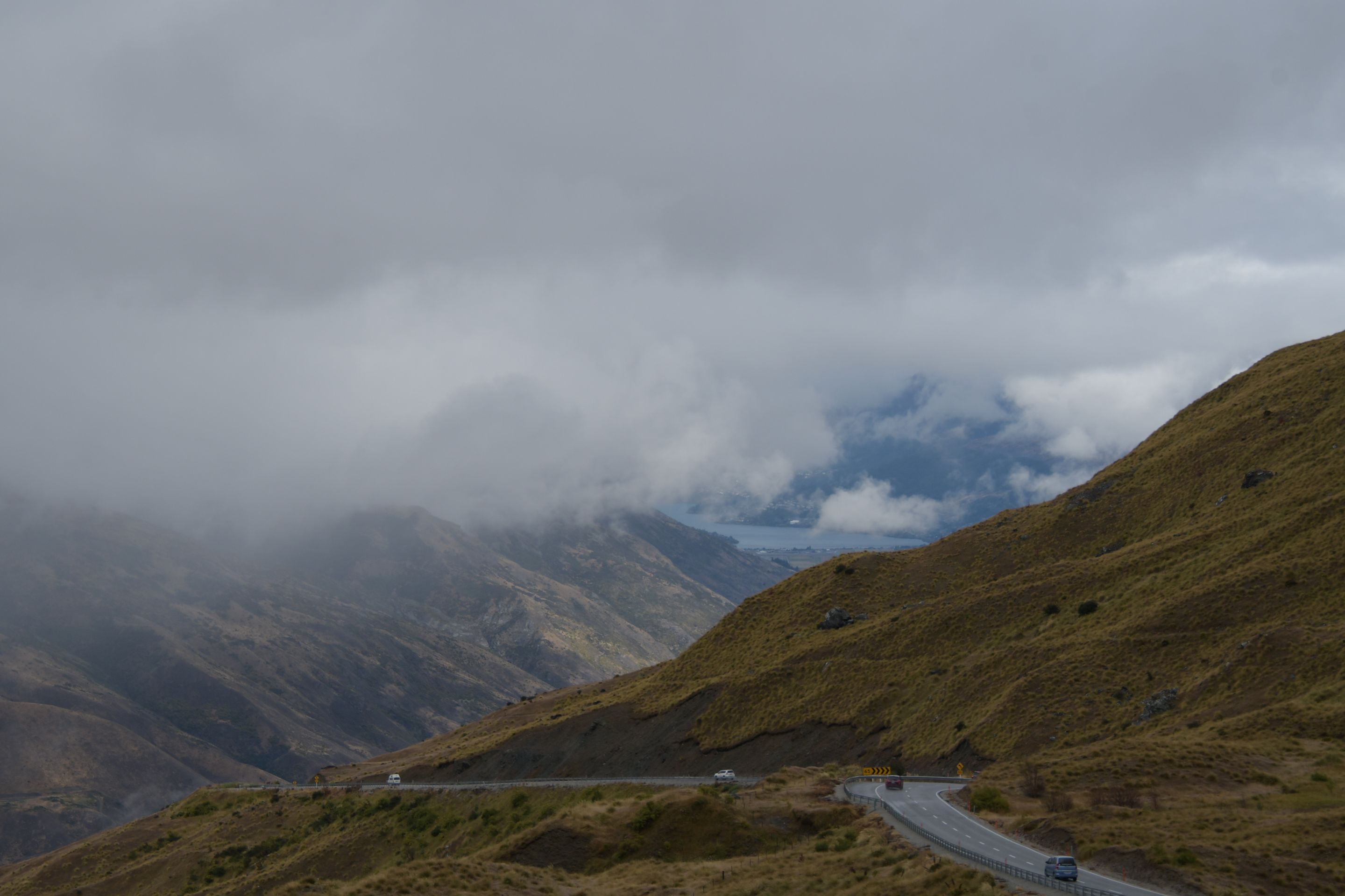
On the way back to Te Anau (the Milford Track ends at Milford Sound and its access road is a 120km dead end), we received the news that this attempt at flightseeing also had to be canceled, which gave us a quiet afternoon. A new - and definitely final - attempt was scheduled for the following morning. And as one could already suspect: The weather was not good enough again. So, unfortunately, we had to forego a view of the southern Fiordland from above.
Axborot byulleteniga obuna bo'ling
Javob

Sayohat hisobotlari Yangi Zelandiya