
Schahaatz und Ich endlich wieder weg….
vakantio.de/cacawa2023
Mind wash
Ku kandziyisiwile: 25.08.2023


Tsarisa eka Xiphephana xa Mahungu
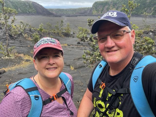
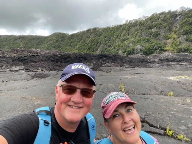
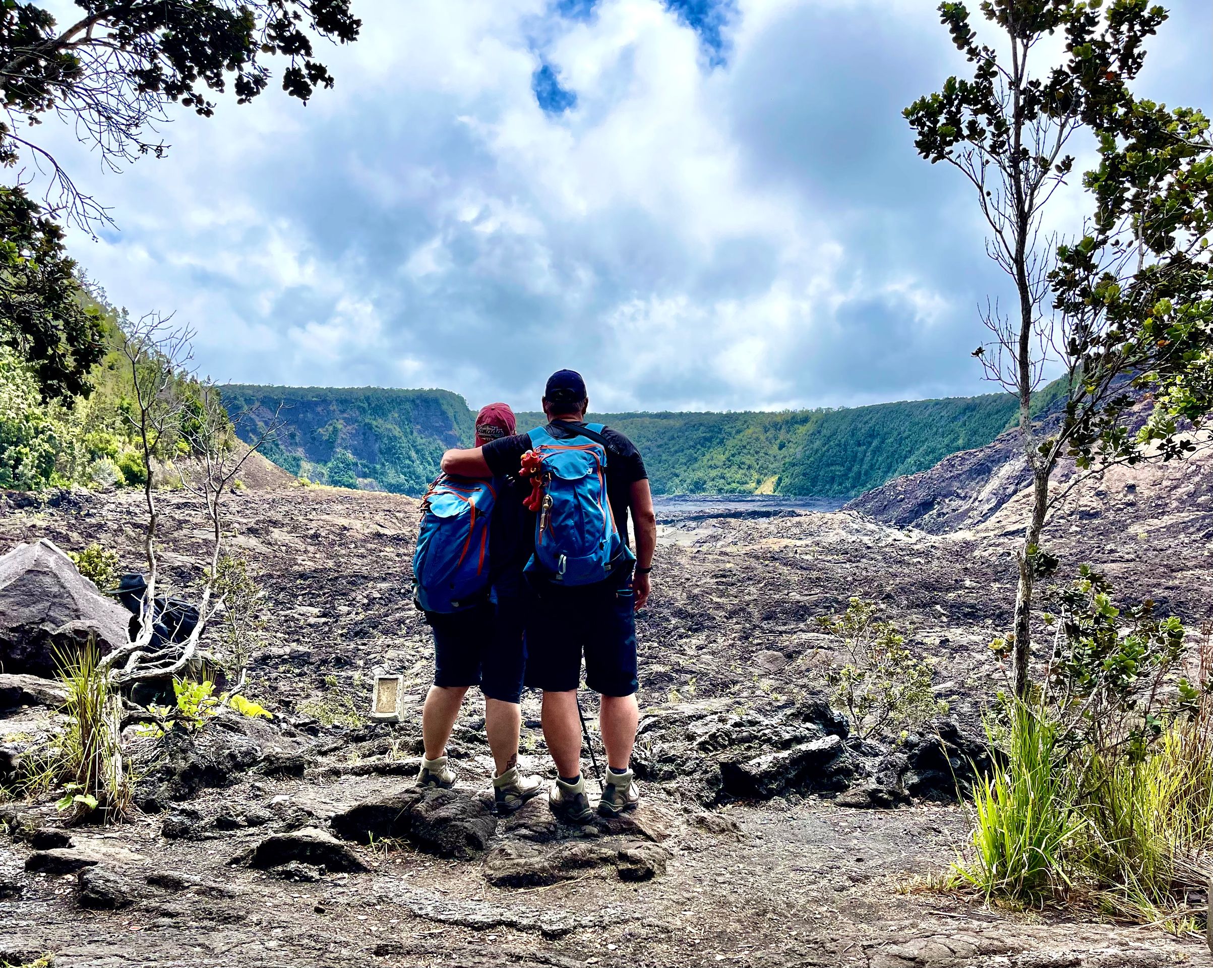
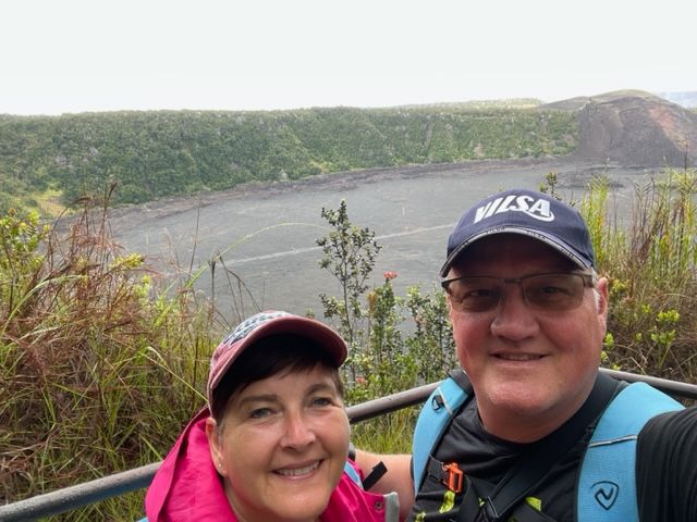
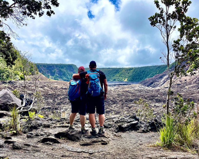
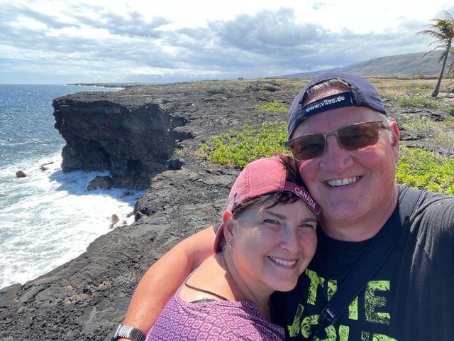
We want to spend our last day in Punaluu, in Sea Mountain, again in Volcano National Park. We got up extra early to be there before the crowds. It starts at Kilauea Iki with the trail of the same name.
facts
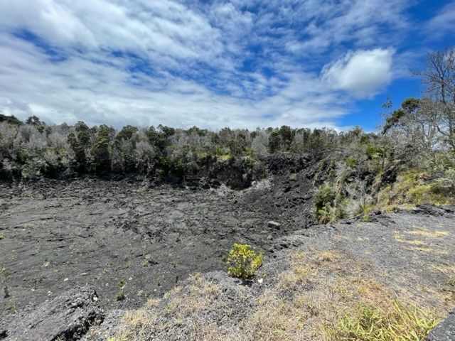
Kīlauea Iki is a crater on the edge of the Kilauea Caldera. In the Hawaiian language, the name means "little Kīlauea". Kīlauea Iki is a pit crater formed by the ground yielding and collapsing over a subsurface cavity, usually leaving near-vertical walls. In 1959, lava from Pu'u Pua'i (literally bubbling hill) shot about 600 meters into the air and began to fill Kīlauea Iki until it began to flow into the main Kīlauea caldera. A slightly visible "bathtub ring" can still be seen at the highest point of the lava in the crater.
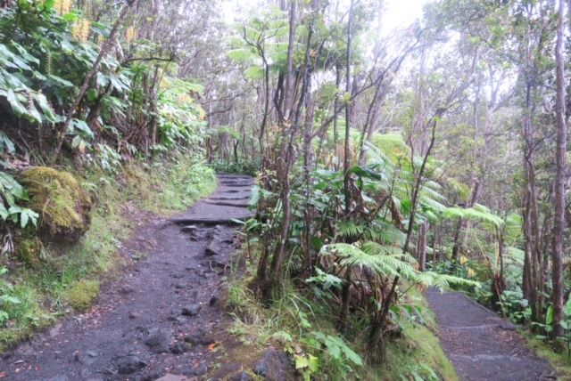
The trail is a popular circular hiking trail that is 4 miles long and has a vertical drop of 400 feet. It runs along the northern rim of the crater and then returns to the starting point via the center of the crater itself. It is a hike that is easy in parts, strenuous in parts, but definitely an exciting hike.
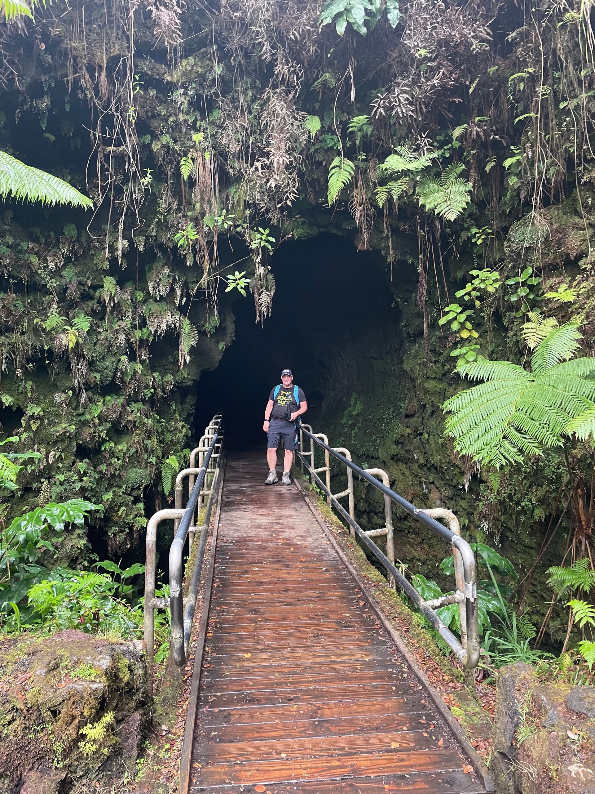
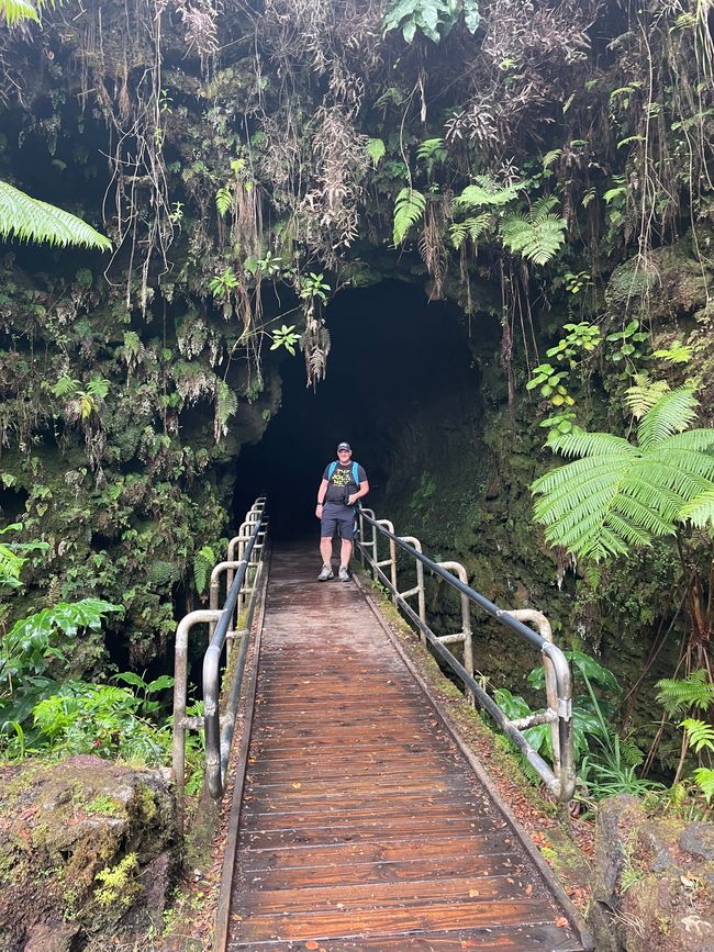
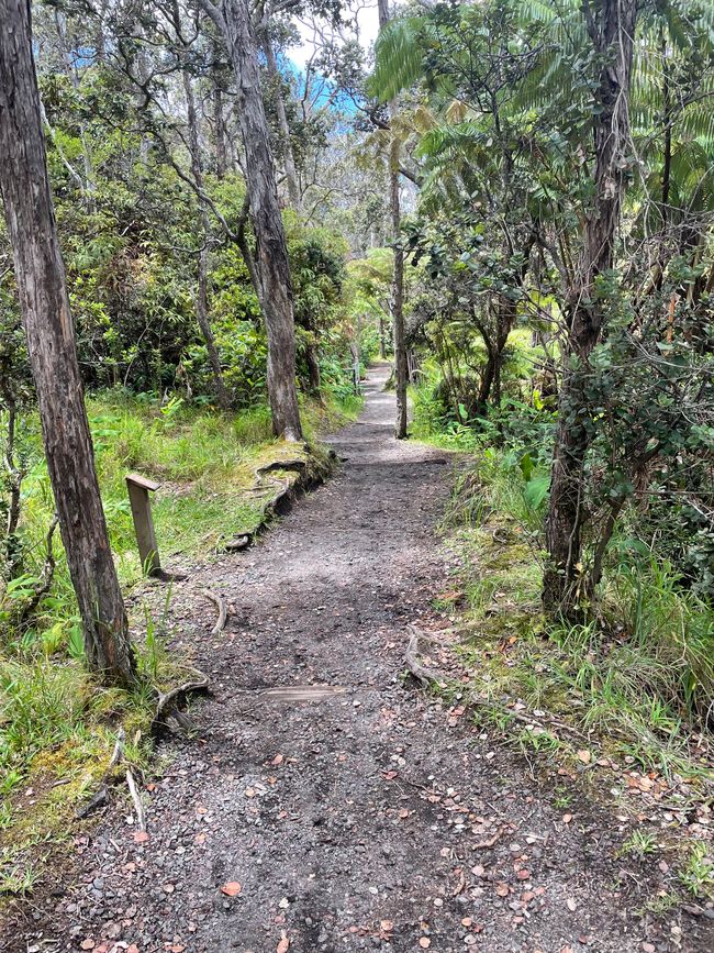
So we start our hike from the parking lot to the Thurston Lava Tube, which is 1.3 km away. You should visit it before 9 a.m. if possible, then it is not so crowded. We don't quite make it to 9:00, but it's still empty.
facts
Nāhuku (Thurston Lava Tube) is a 500-year-old lava tube at the base of Kīlauea Crater. When a lava tube is active, lava moves across the ground at temperatures in excess of 1,000°C. When lava replenishment stops at the end of an eruption, or the lava is diverted elsewhere, it leaves an empty cave. These caves can be a few feet high and just a few meters long, or they can stretch for miles with high ceilings. When this lava tube was discovered in 1913, the top of the tube was covered with lava droplets. Unfortunately, these soon disappeared due to souvenir collectors.
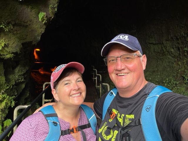
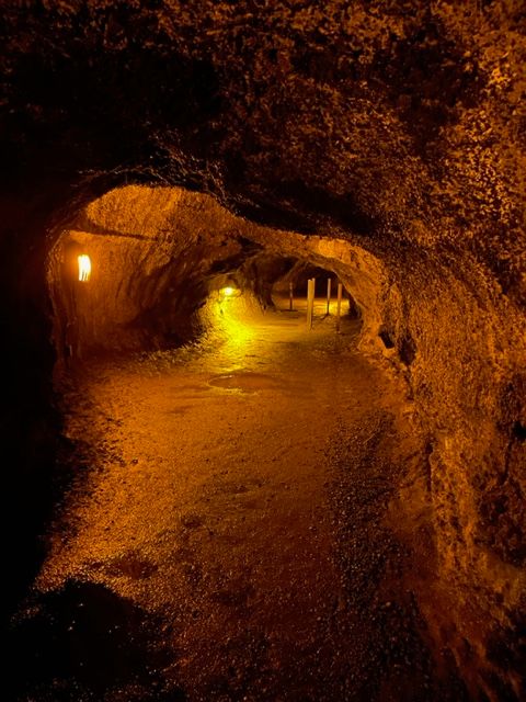
It's a bit scary to walk through the tube.
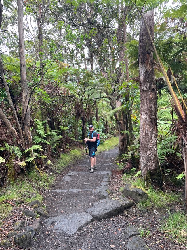
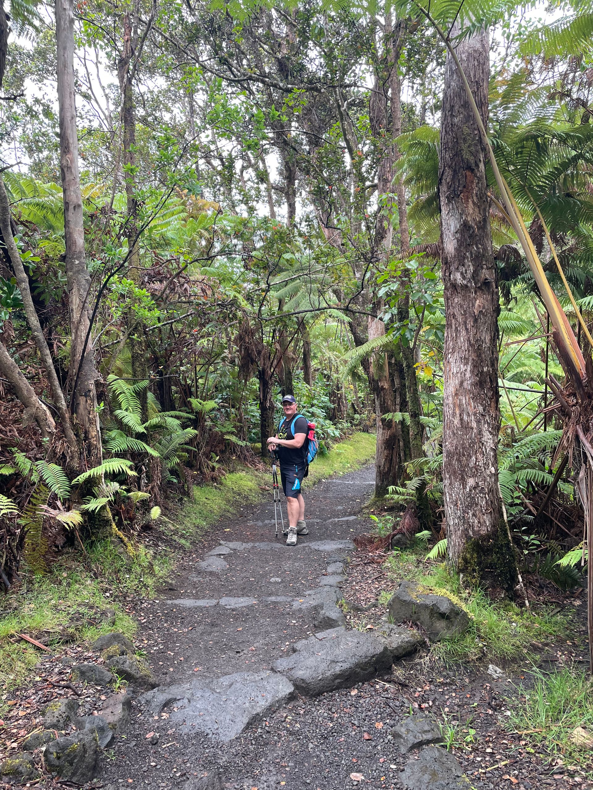
After our short excursion underground, we continue our trail. Because it had rained shortly before our arrival, the air is not exactly refreshing.
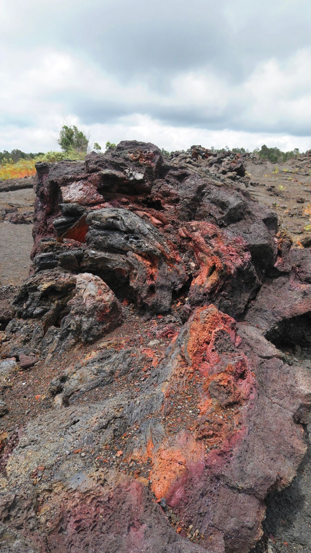
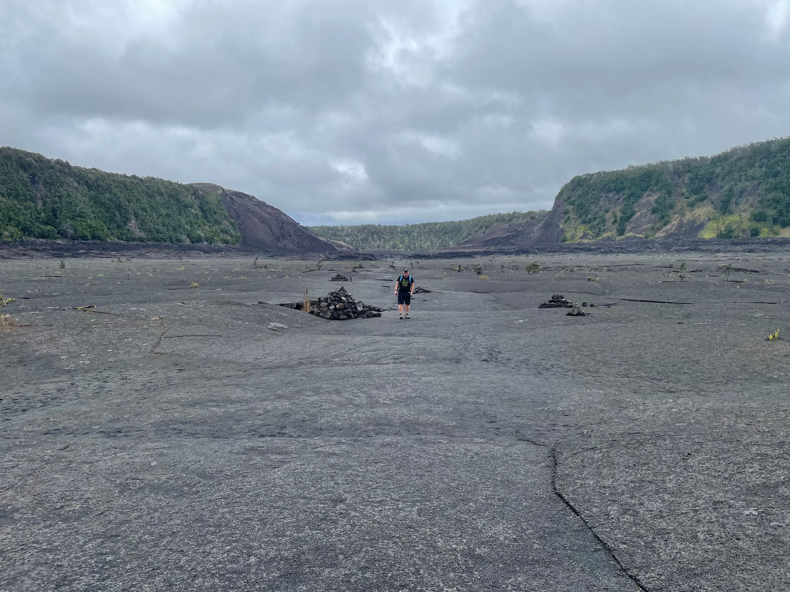
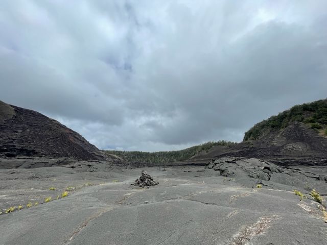
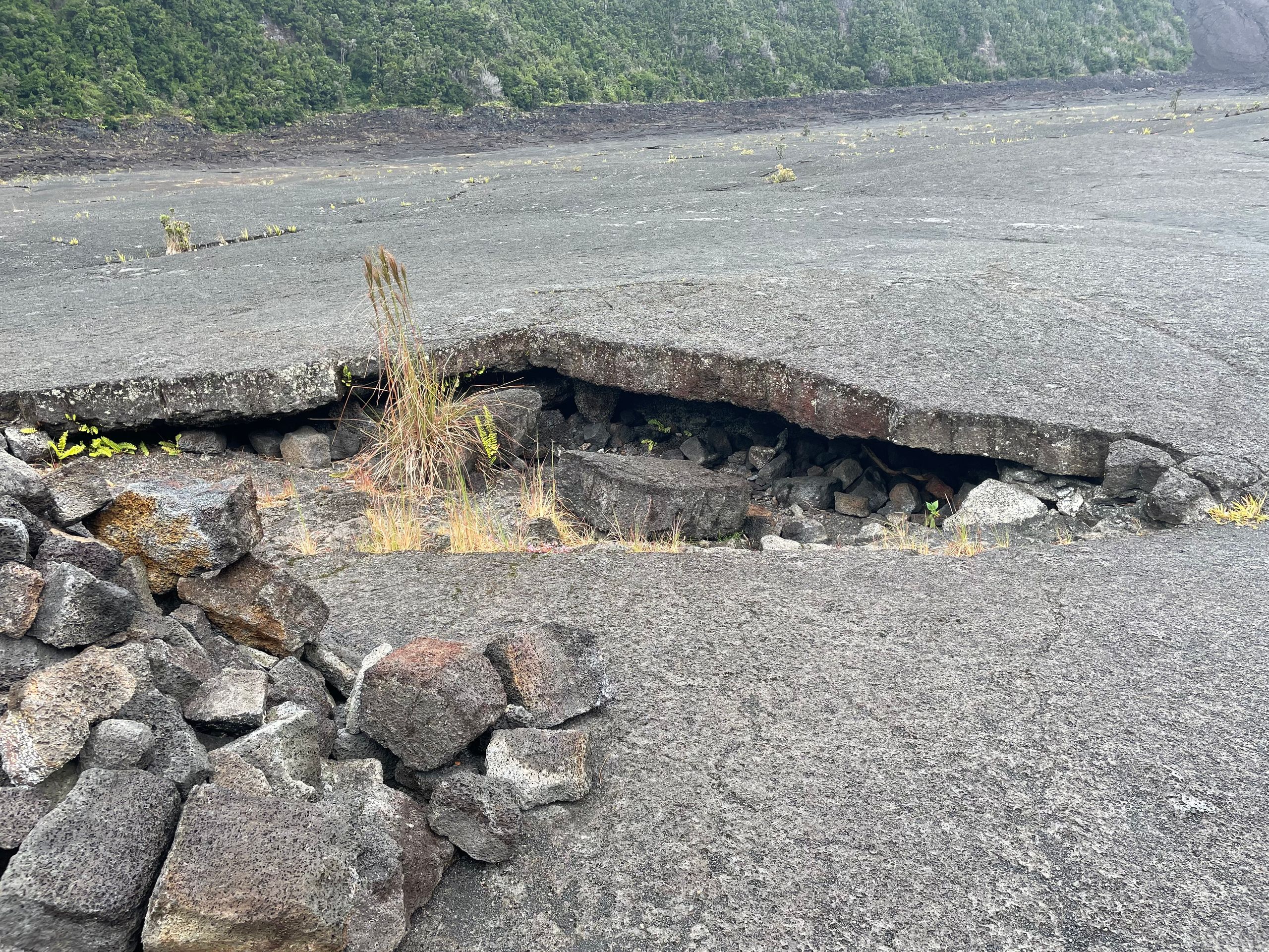
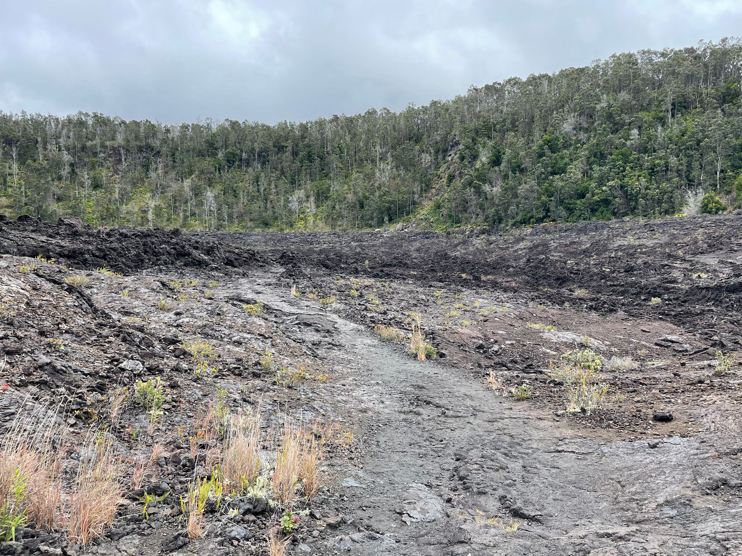
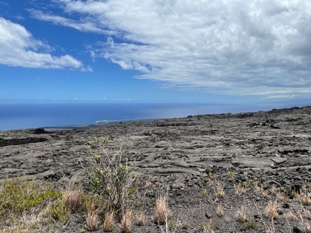
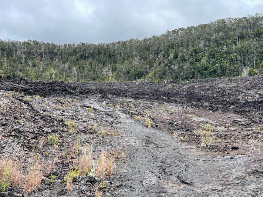
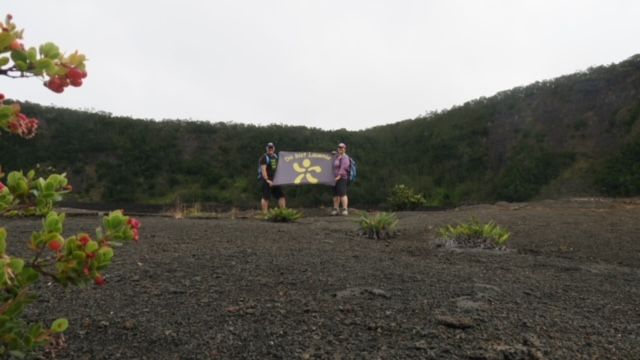
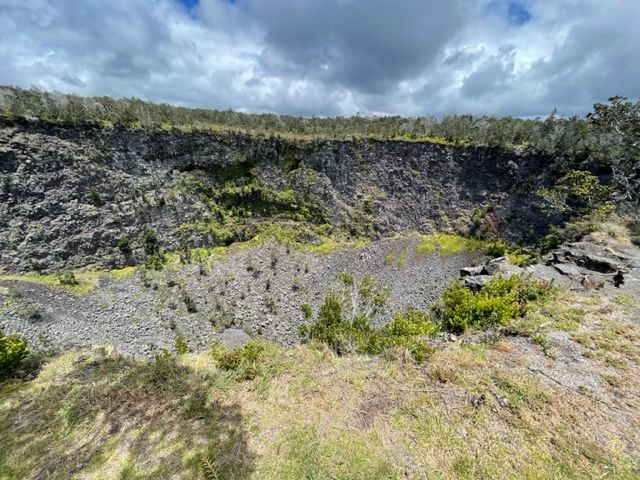
Steadily downhill we overcome the 122 meters in altitude and reach the crater floor. That was the easiest part, apart from short very bumpy passages. I had imagined the crater floor to be a little flatter, on the pictures from above it looks like a fine dusty level path.
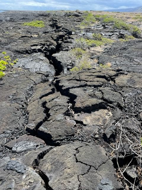
I find neither the one nor the other. Humpbacked, partially broken or pushed up basalt slabs form the floor of the first section.


It's fascinating what nature produces, but the thought that there's a little more smoke and tremors next door at Kilauea (that's how the eruption started in June) I find a bit scary, because down here there's no escape.
Let's hope everything goes well. The last part in the crater then becomes even more uneven.
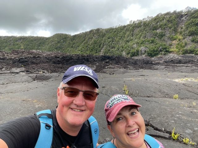
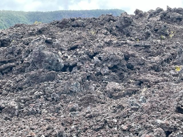
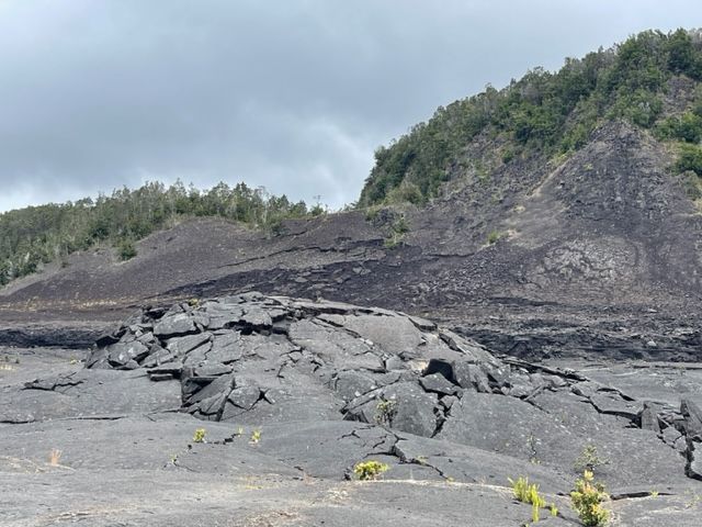
Here the lava has a rough structure, which doesn't make walking any easier. A challenge even with hiking poles and hiking boots - at least for me. Much more pleasant uphill, but unfortunately it also went downhill. After about 2 km on the crater floor, came the inevitable ascent.
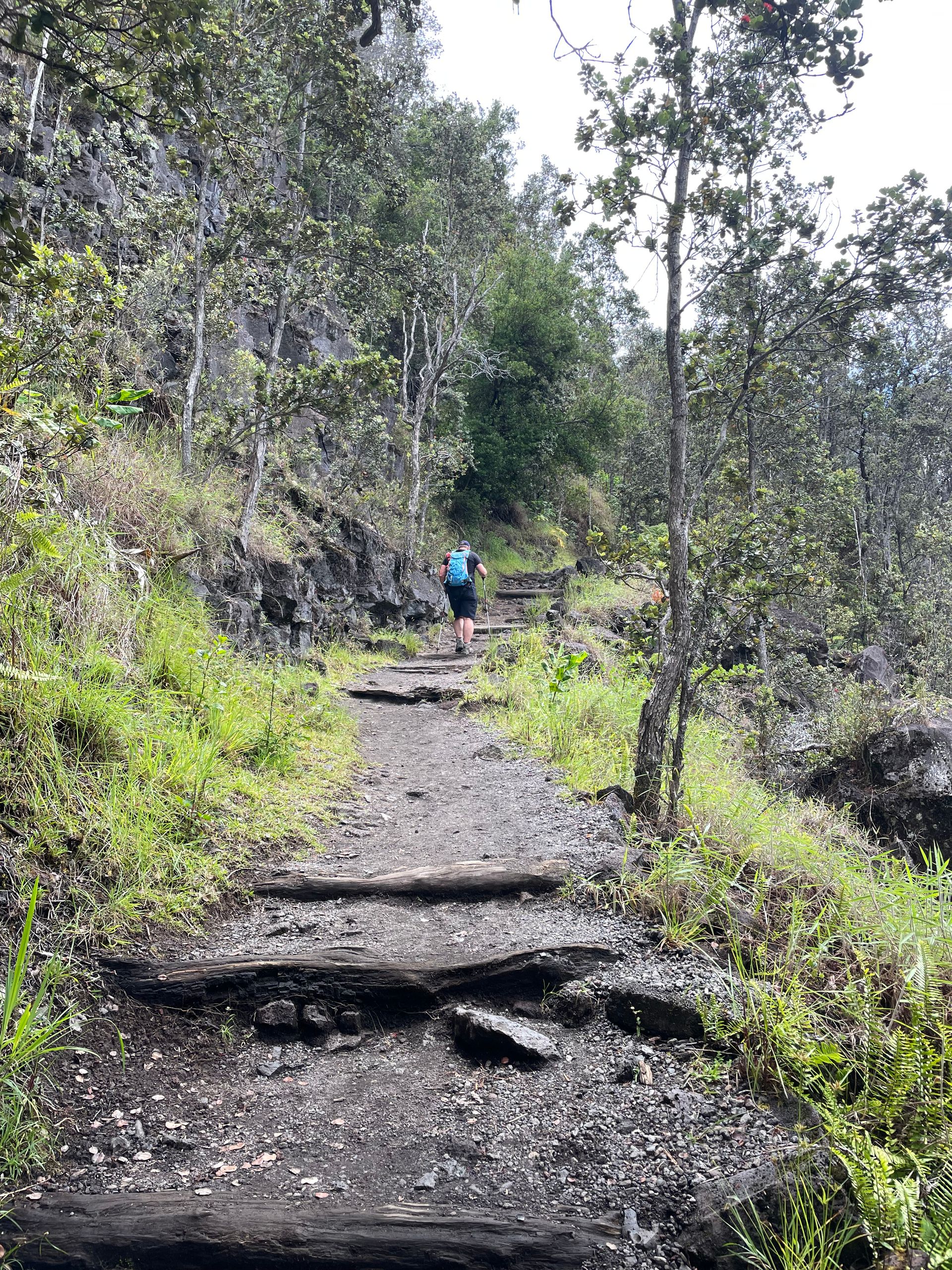
On the other side, the descent was solved via serpentines with a moderate gradient. There wasn't enough space for that. As an alternative, stairs were needed.
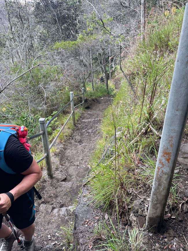
The height of the steps shows that we are not in Germany and that no German stair builder built the ascent. Then the steps would have an exact height of 18 cm. After countless, sweaty stairs we finally reach a level path.
Yeah, the end of the tour is near, 1.3 km to go and then we'll be at the car... You wouldn't believe how long 1.3 km can take. And still uphill.
But after almost 3 hours we made it.
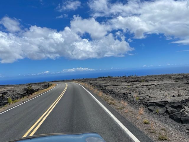
Next on our list, the Chain of Crater Road. don't tell you anything It didn't affect us either, but it says everywhere: You have to drive it. Then we must too. 31 km long to the sea.
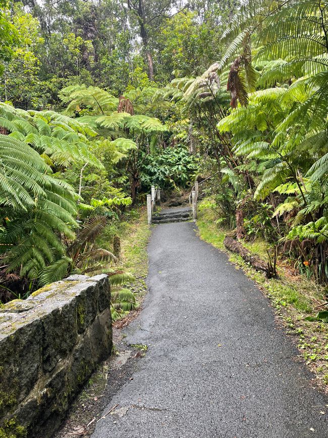
The journey starts through a rainforest. Doesn't have much to do with craters and lava. Let's see what's next.
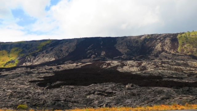
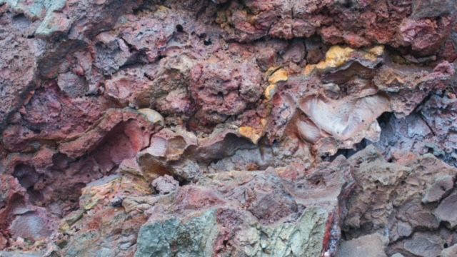
Next are several craters (after which the road was named) which we all look at. We're taking everything with us today. We cross a narrow river of Pāhoehoe lava that erupted in 1979
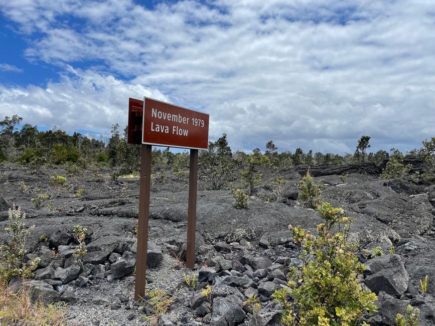
and reach the pit crater Lua Manu.
The crater was formed by subsidence of the earth's surface and not as a lava outlet. Followed by the Koʻokoʻolau crater.
Now follows a piece of forest,
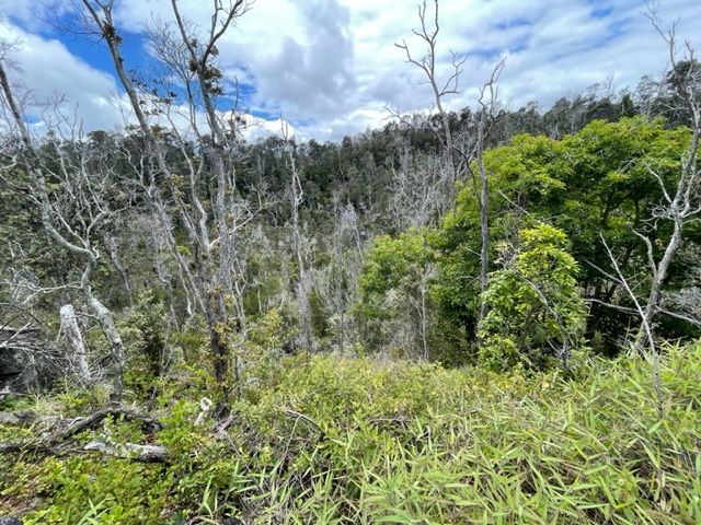
Kipuka Nene, where 1,100-year-old trees are surrounded by fresh lava.
Continuing towards the sea we cross a Pāhoehoe lava flow.
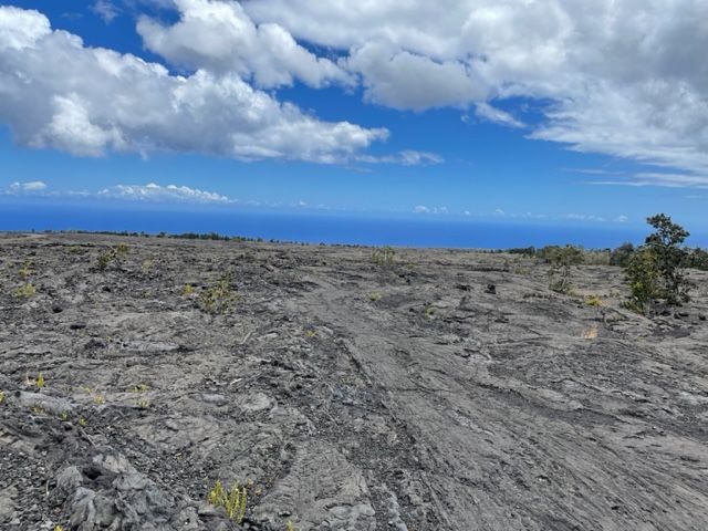
Now finally we reach the part I had imagined. It's impressive. Nothing but lava and road.

After each volcanic eruption, part of the road has to be remade. The final stretch fell victim to the 2018 Kilauea eruption and is still locked. So we have to explore the last two attractions on foot.
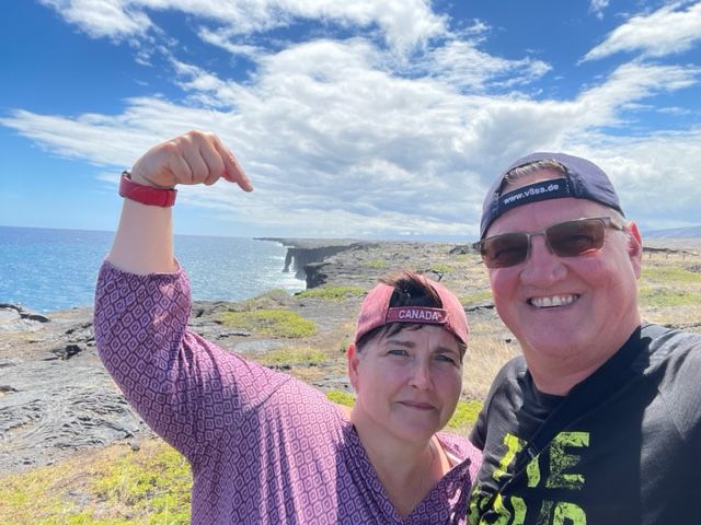
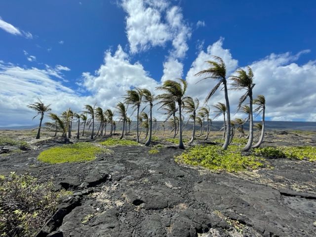
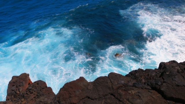
Holy sea arch
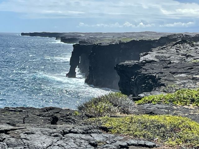
and a palm grove


surrounded by lava that has flowed into the sea.
On the way back, we secretly fly drones. Drohnie is doing well today even though it's very windy and we're catching some pictures from a different perspective.
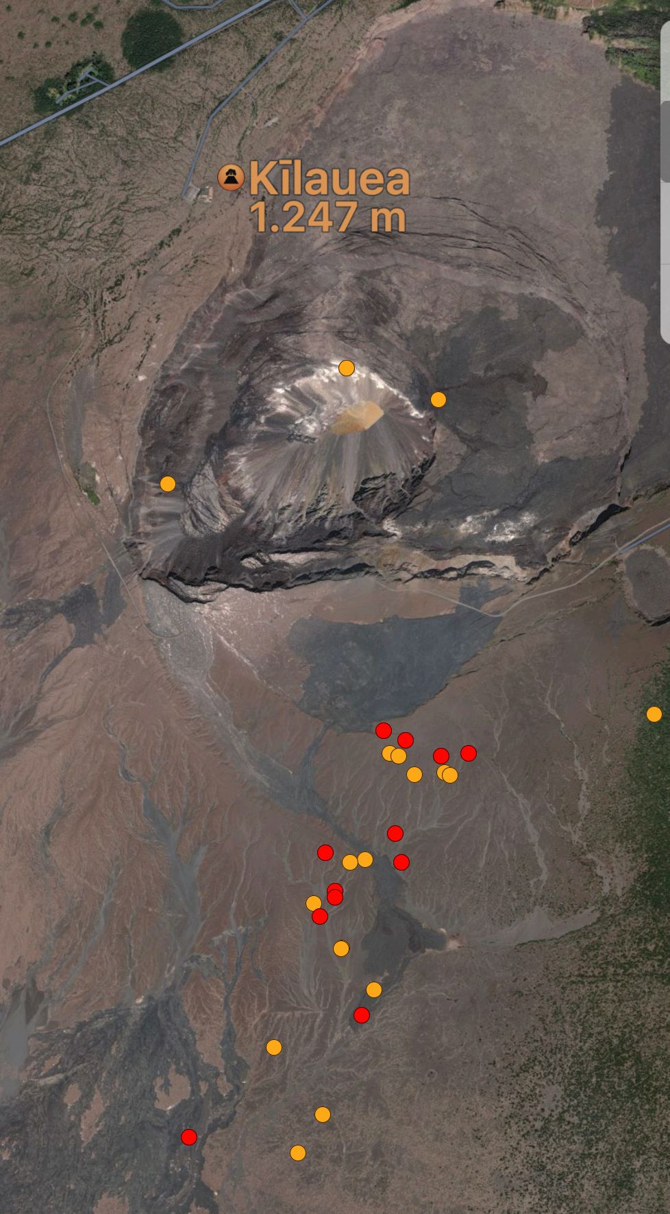
The planned program for today is done. Now we're going to the Kilauea Overlookout again and see why it's emitting more smoke today than the day before yesterday.
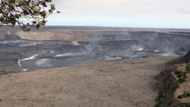
Our earthquake app also increasingly shows small earthquakes. Maybe it erupts at 4 p.m.?
At 4:05 p.m. we tear down the tents and drive home - without glowing lava 😩.
We still have to pack, tomorrow is the last move to Hawaii.
Ps.: Afterword by Schahaatz: Lava mind, my word creation. Today everything revolved around the topic of lava and volcanic craters. Without having seen liquid lava. Maybe it's better that way, given our luck.. So our conclusion was that it wasn't so bad not having seen any liquid lava, never mind. That turned into lava mind. When I translated it with google it was called Lava Geist 😃 I found that very appropriate.
Tsarisa eka Xiphephana xa Mahungu
Nhlamulo
Swiviko swa maendzo USA